Motoring Through Pelorus Sound (Marlborough Sounds, South Island, New Zealand)

April 6, 2016

Motoring Through Pelorus Sound (Marlborough Sounds, South Island, New Zealand)

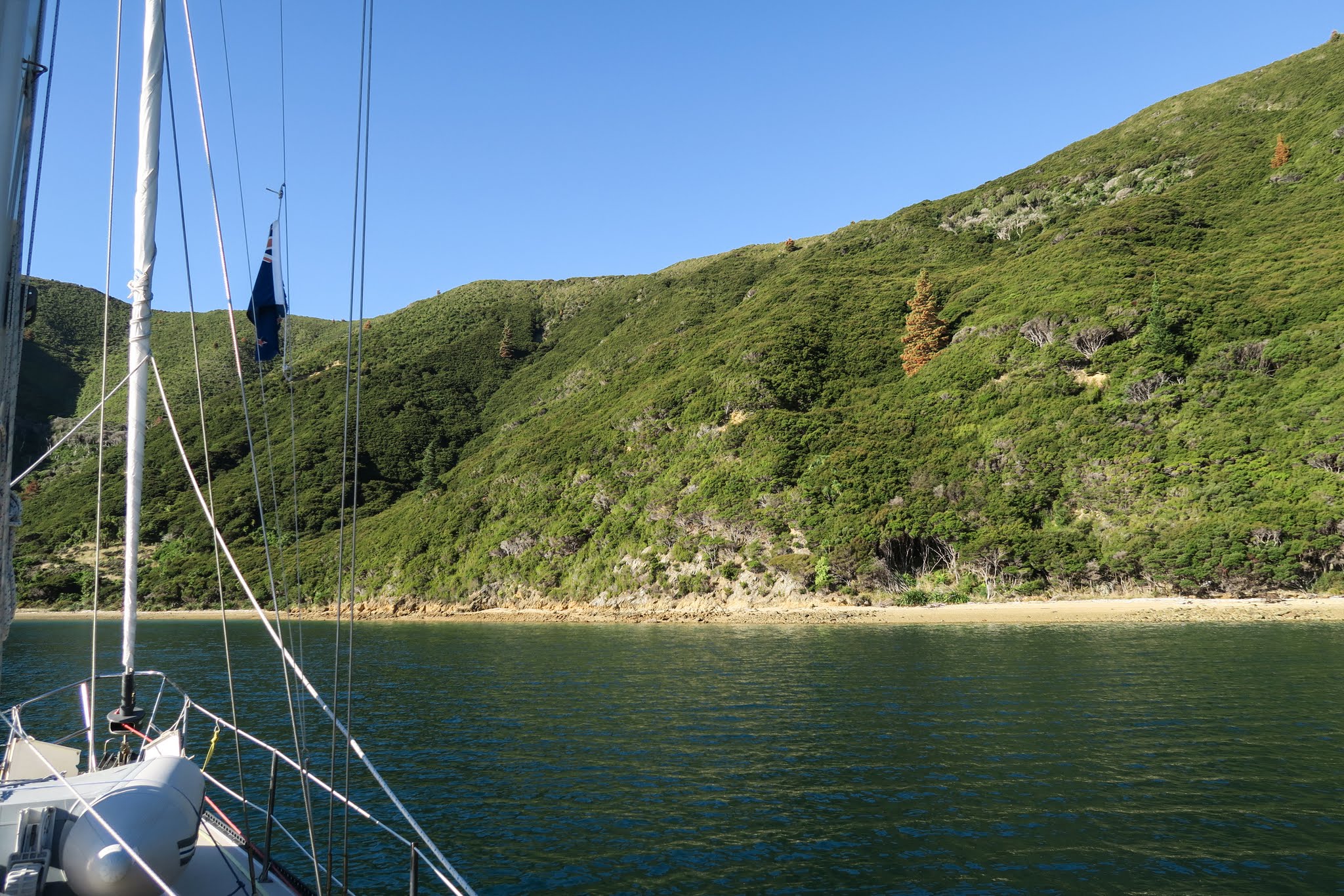
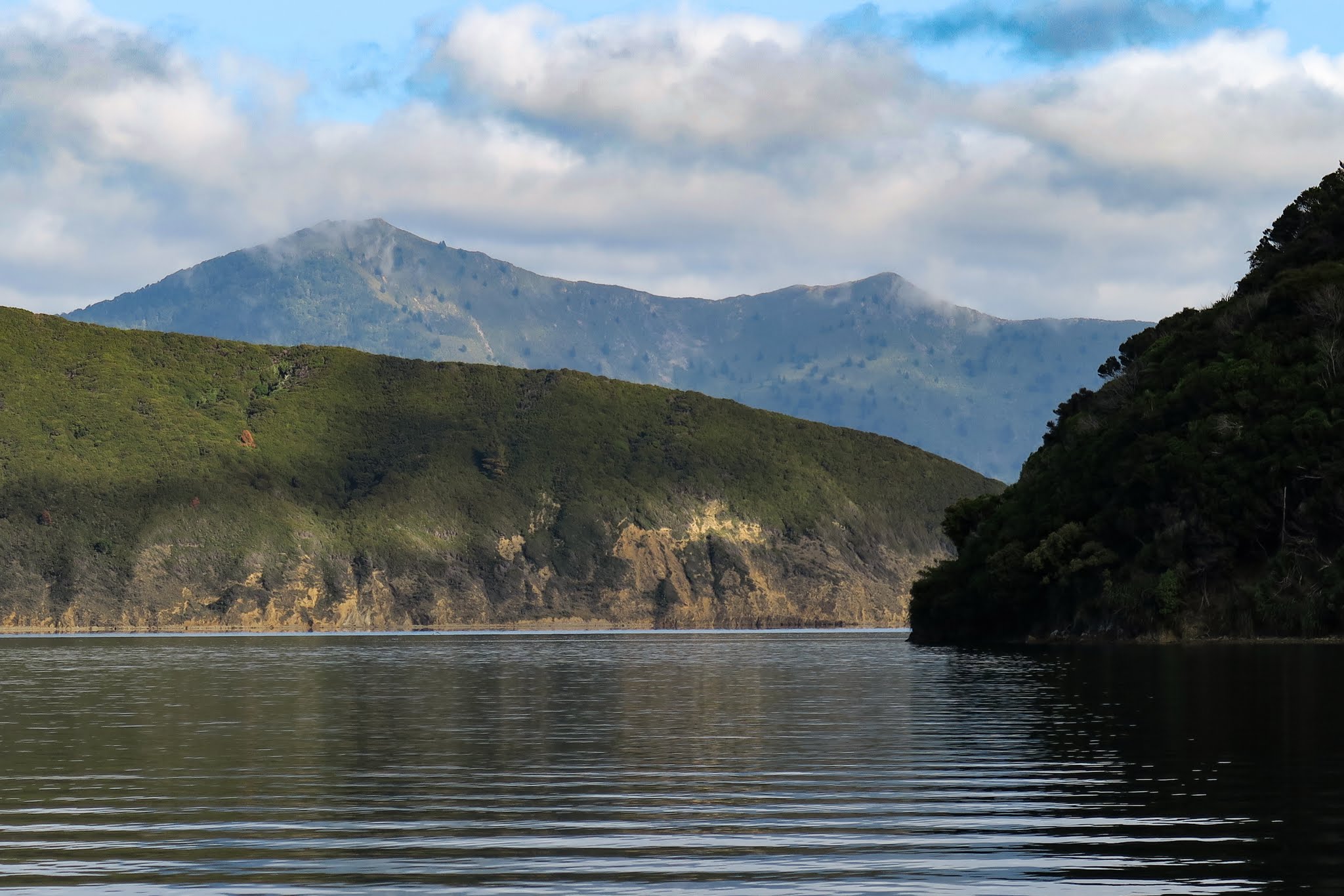
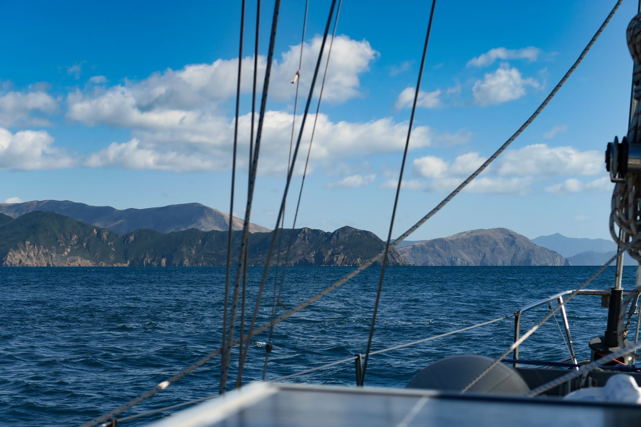
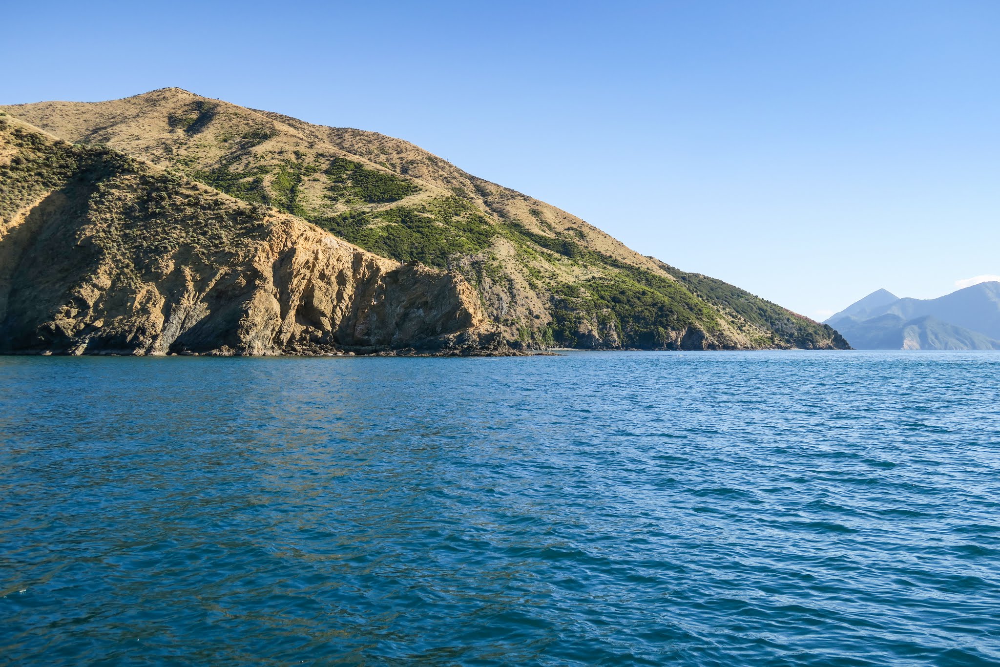
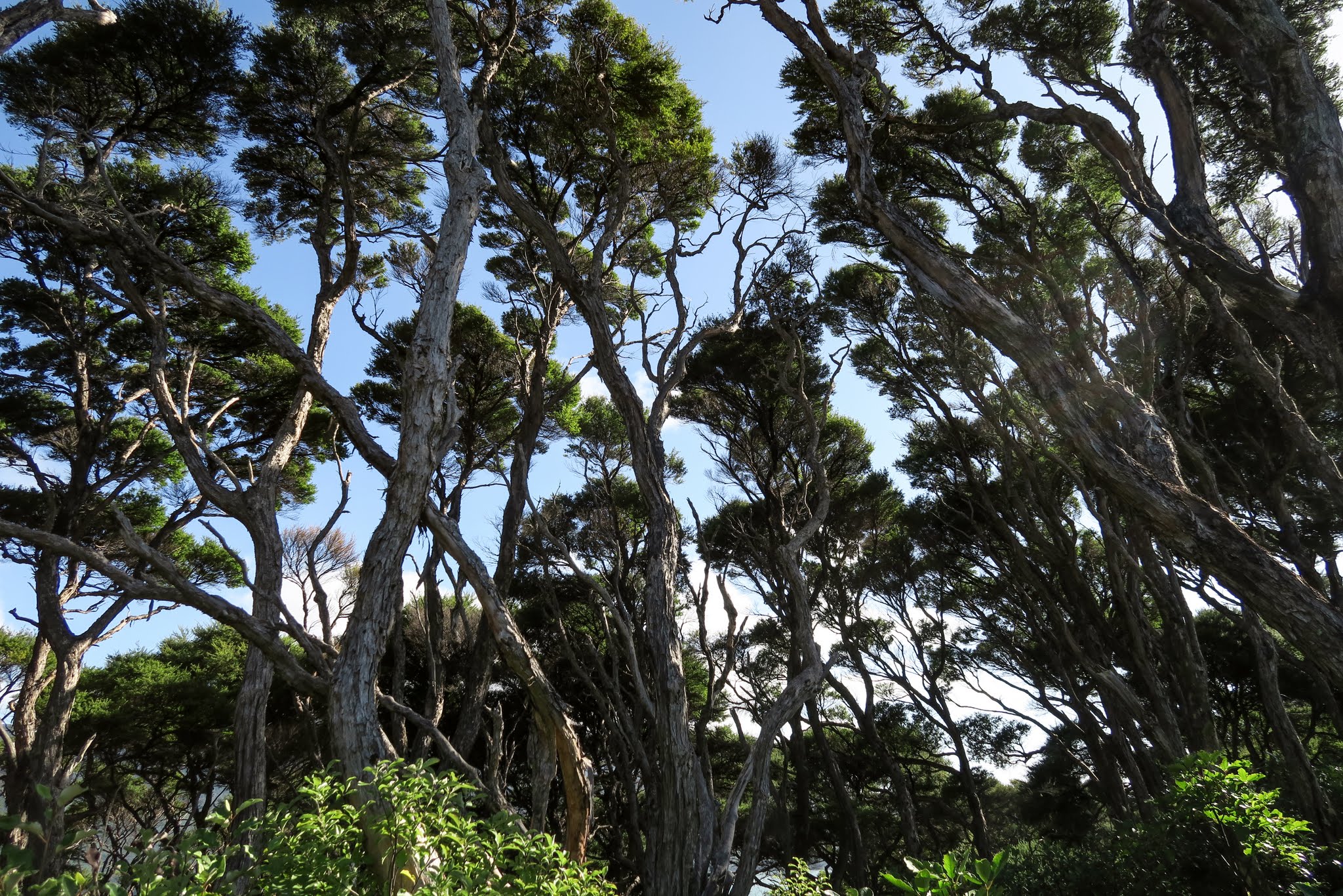
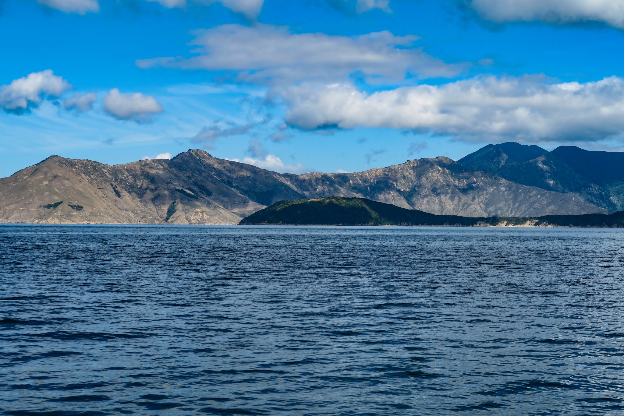
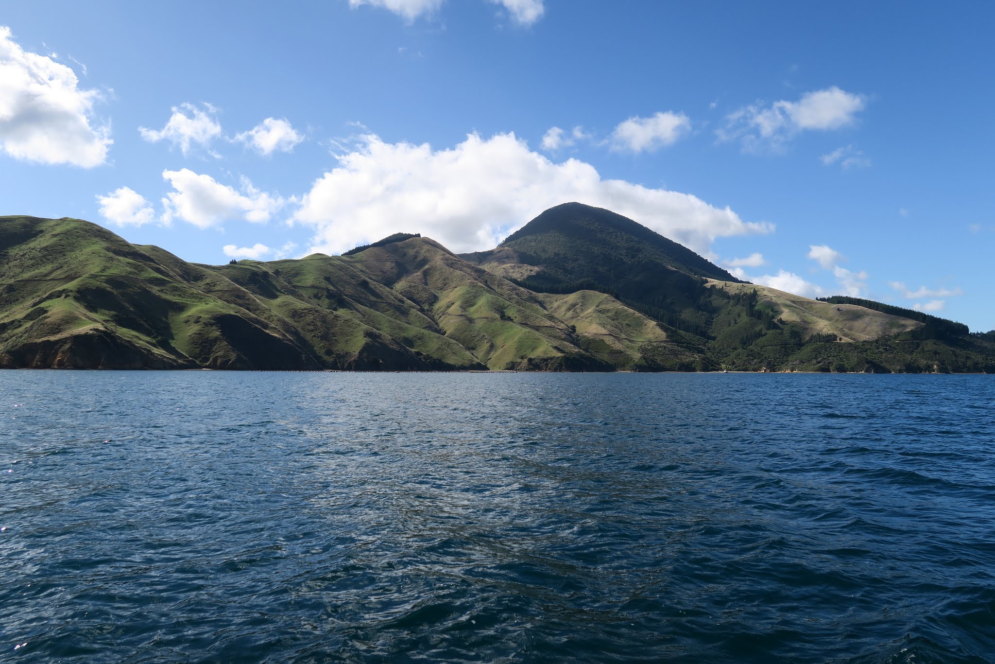
We soon realized that when our guidebook stated that Pelorus Sound is mostly farmland, it meant pine tree farmland, which results in a patchwork of vegetation over the mountains and hills.  Where the trees are fully grown, there’s dense, dark green pine forest. Where the trees have been cut, it’s brown and barren. And where things are starting to grow again, there’s usually dry, bushy vegetation dotted with regenerating pines.

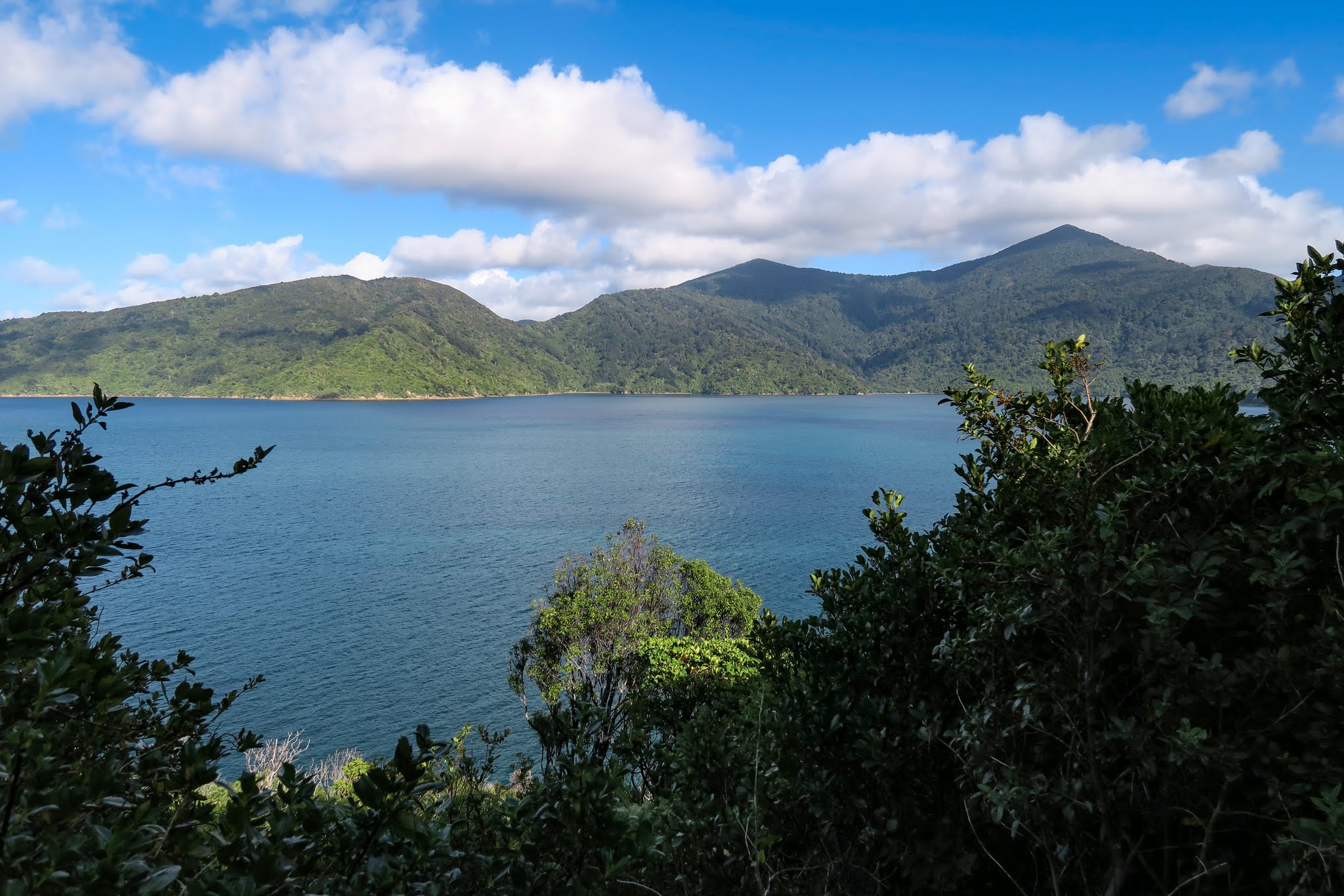
Here and there, nature reserves have been set aside for New Zealand’s native forest, and a few interloping pines can make a very attractive mix around the margins. There’s also farming in the water: fields of floats mark mussel and salmon farms in many of the biggest bays. The one consistent element is the mountainous terrain–there are no flatlands in the sounds.

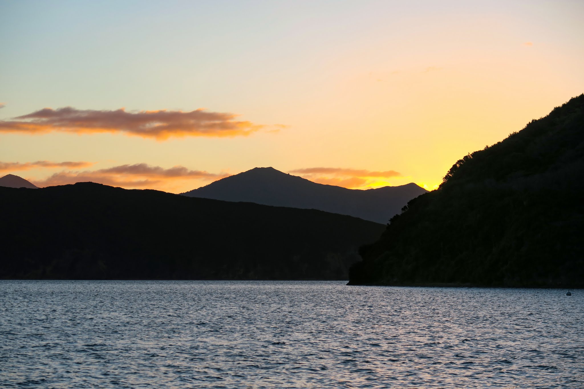
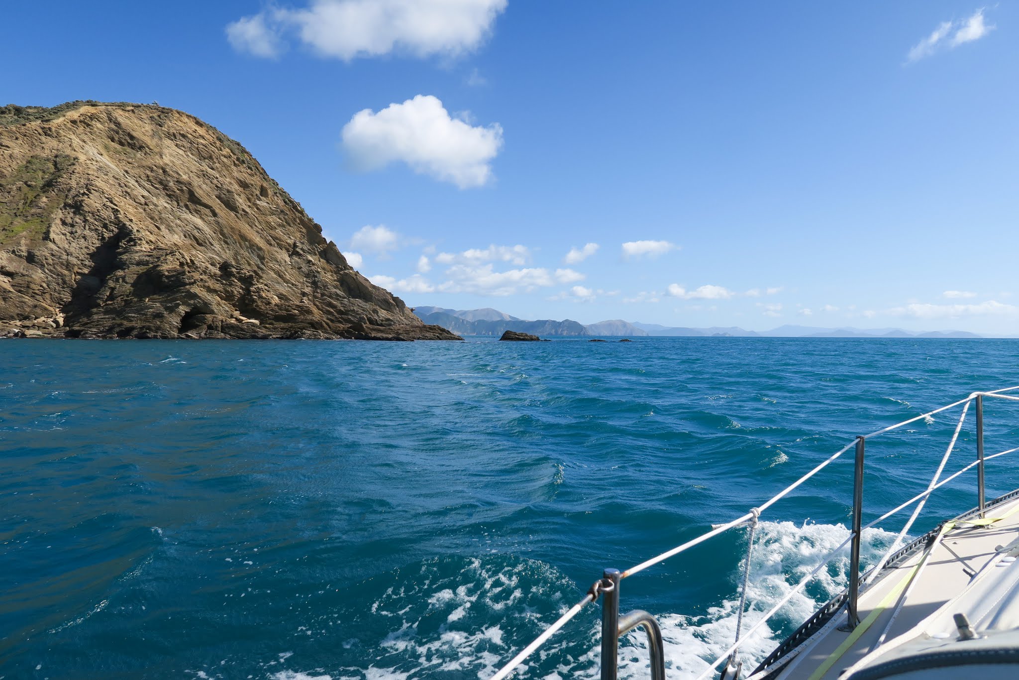
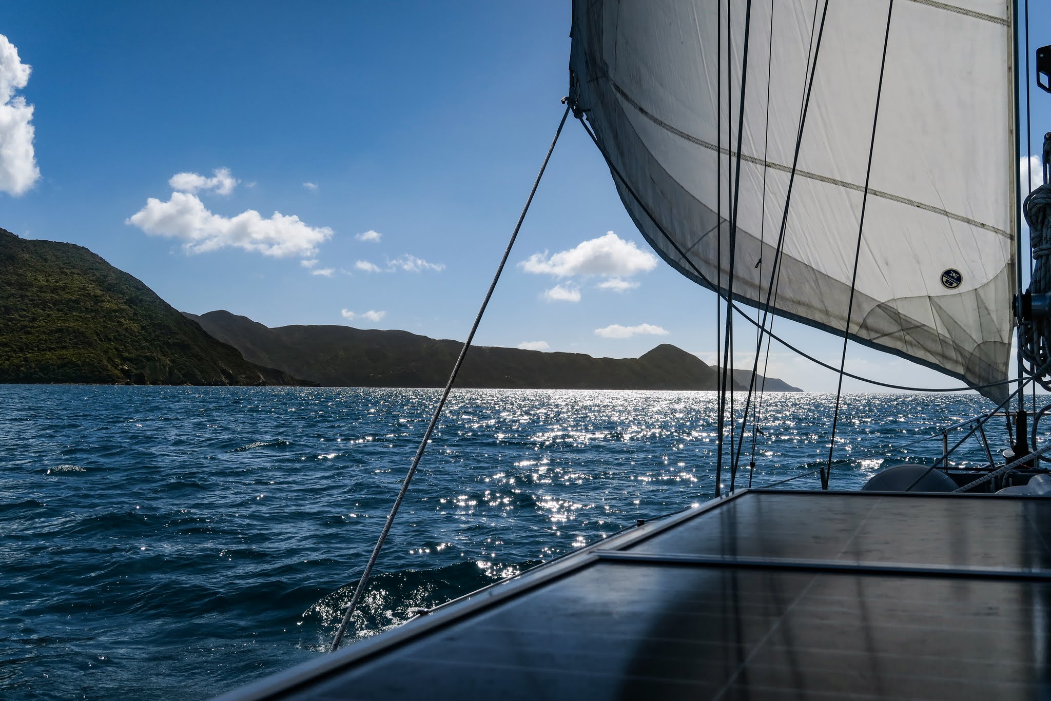
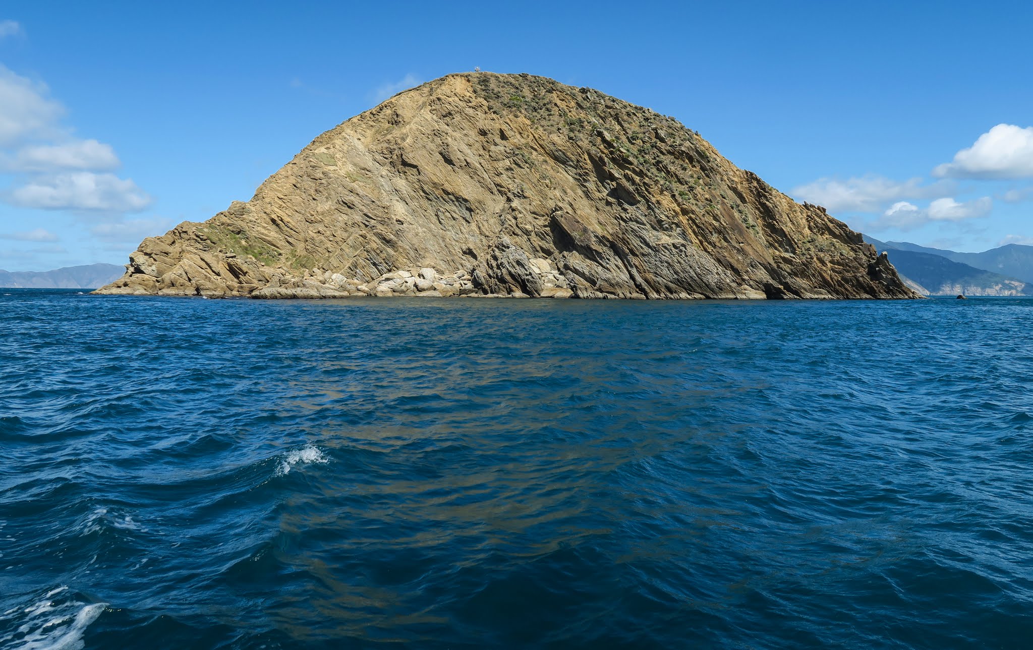
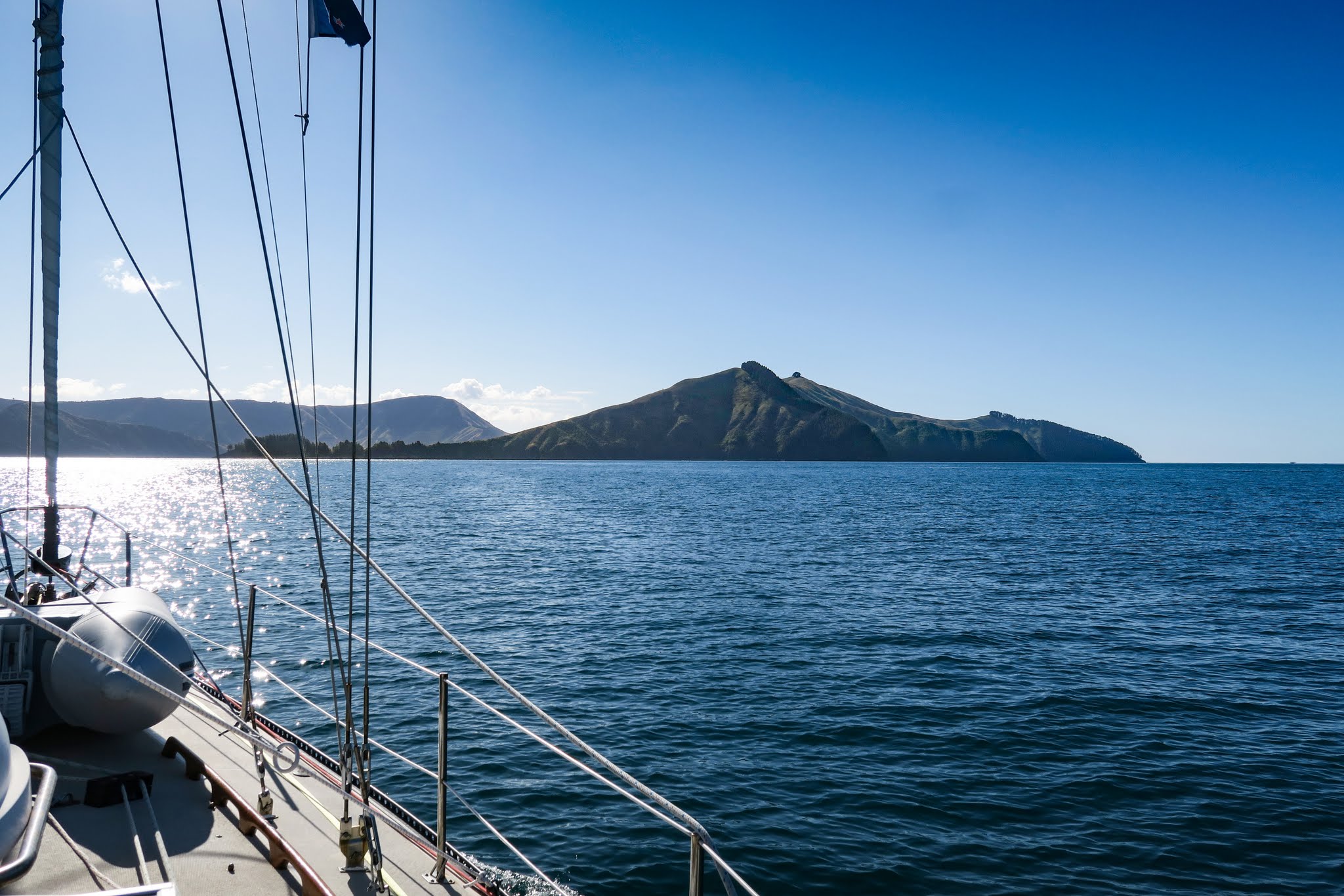
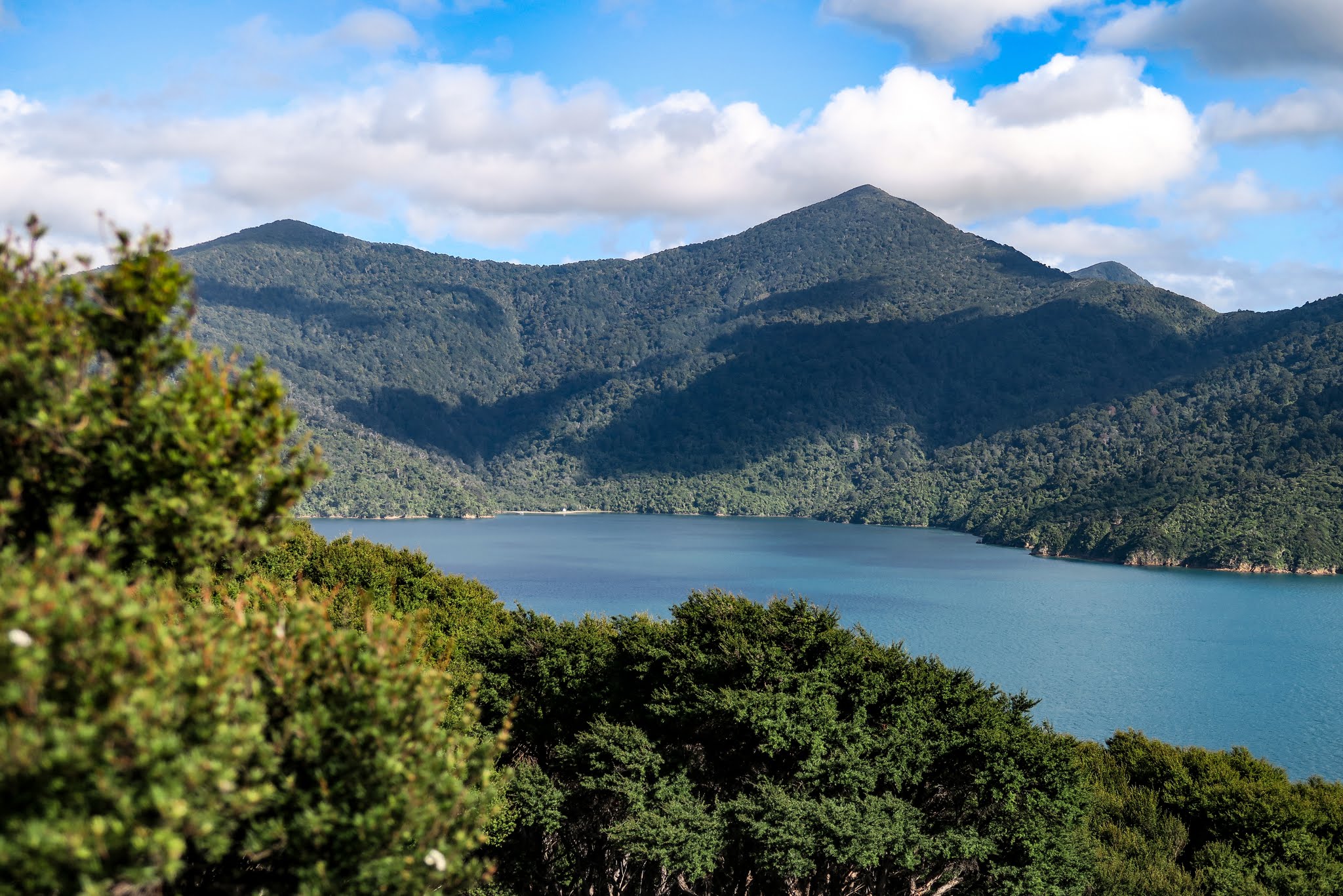
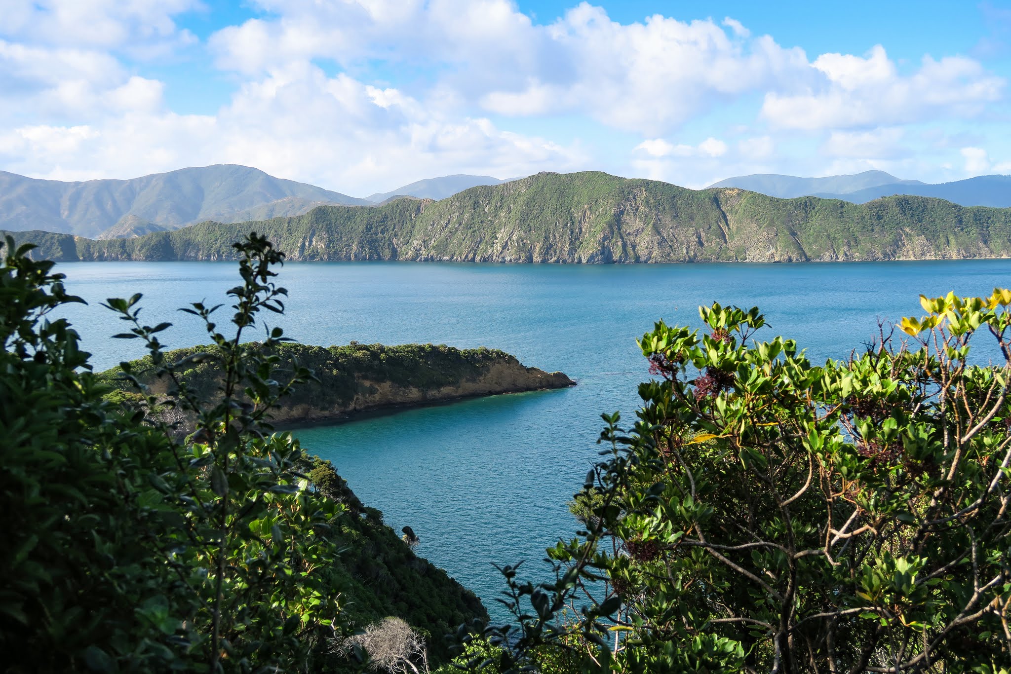
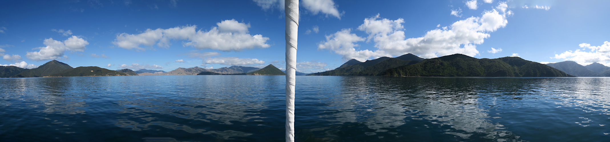
These mountains, however, come in all shapes and sizes, and it made for a pretty interesting horizon as we headed down Pelorus Sound, especially the triangular Maud Island. We got a good look at some of the bays as we motored along, but nothing tempted us to stop. (Below a gallery of Pelorus Sound’s main channel. Click to enlarge and scroll either gallery below and panorama above.)

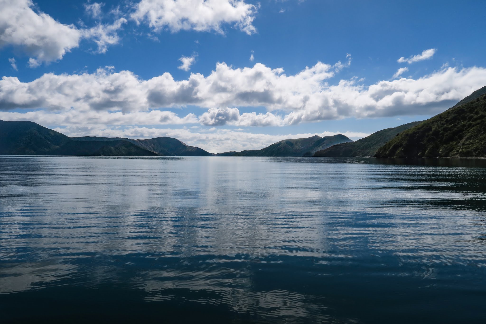
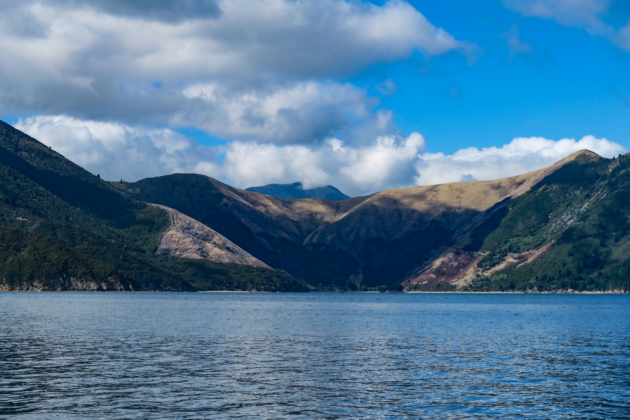
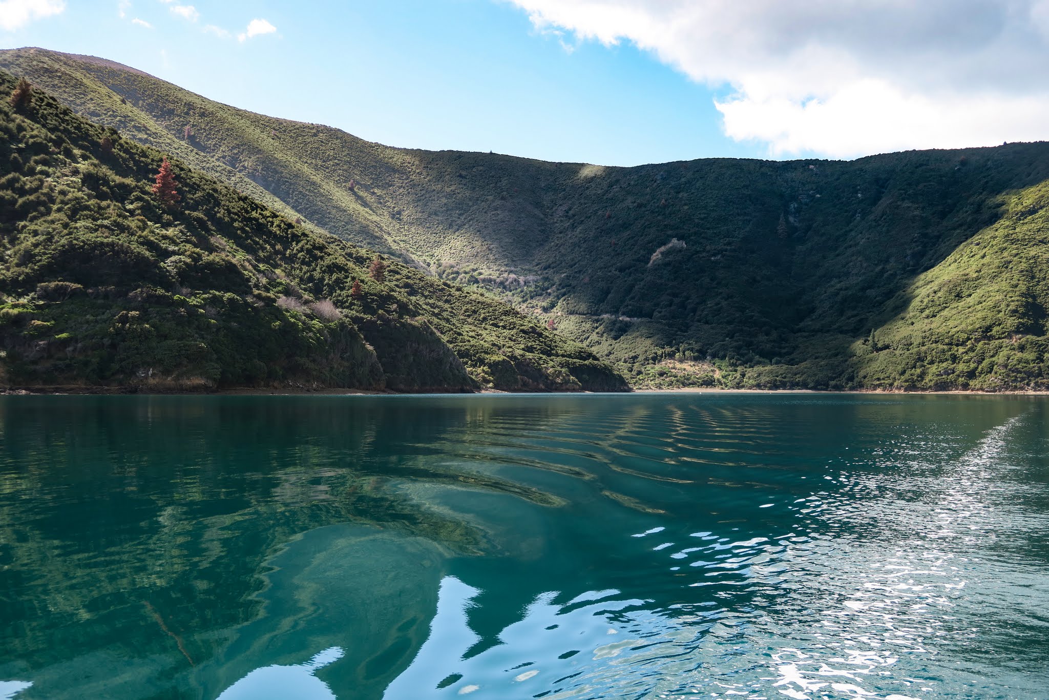
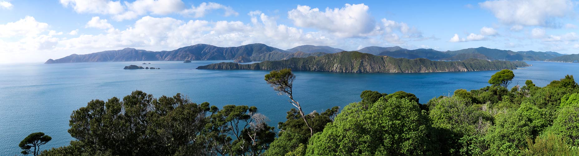
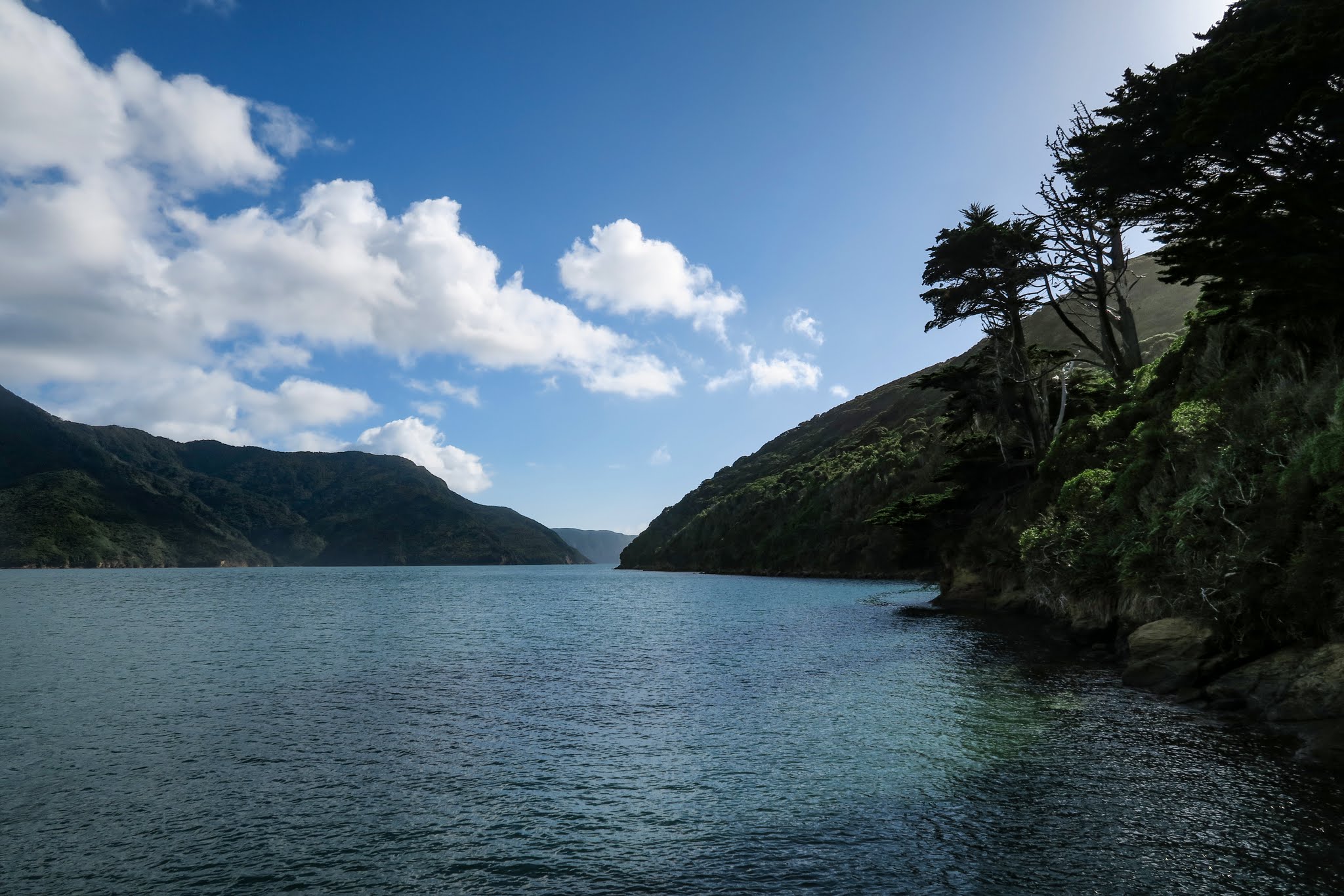
The Tawhitinui Reach stretches across the bottom of Pelorus Sound’s main channel, forming an upside down T. If you turn right, it’s about a mile to the much-revered Tennyson Inlet. Turn left and six miles later you’ll be in a huge, lake-like body of water (the Crail and Beatrix Bay area). Or turn south just before you get there and continue inland down the Popoure Reach. This maze of waterways goes on a long way.

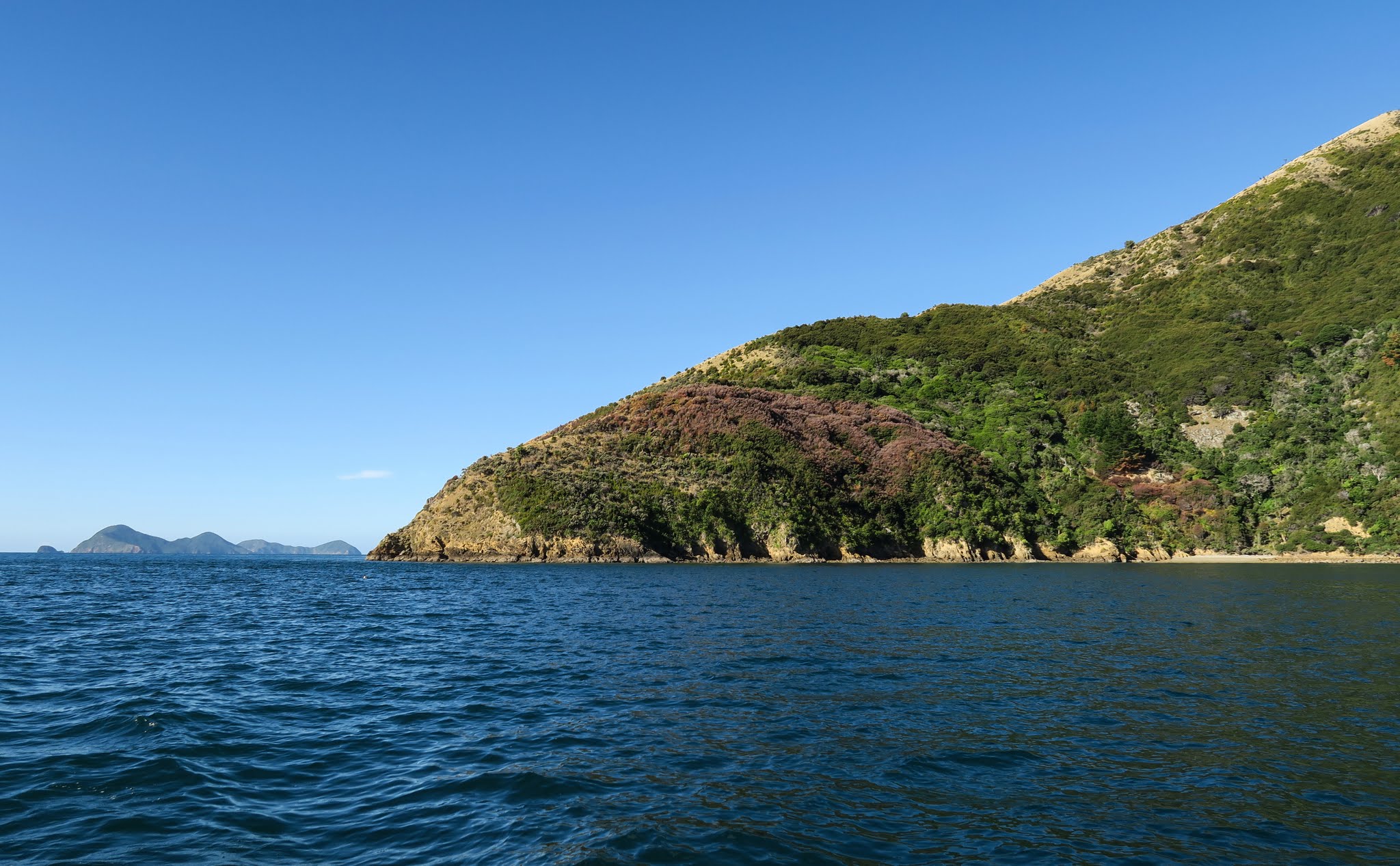
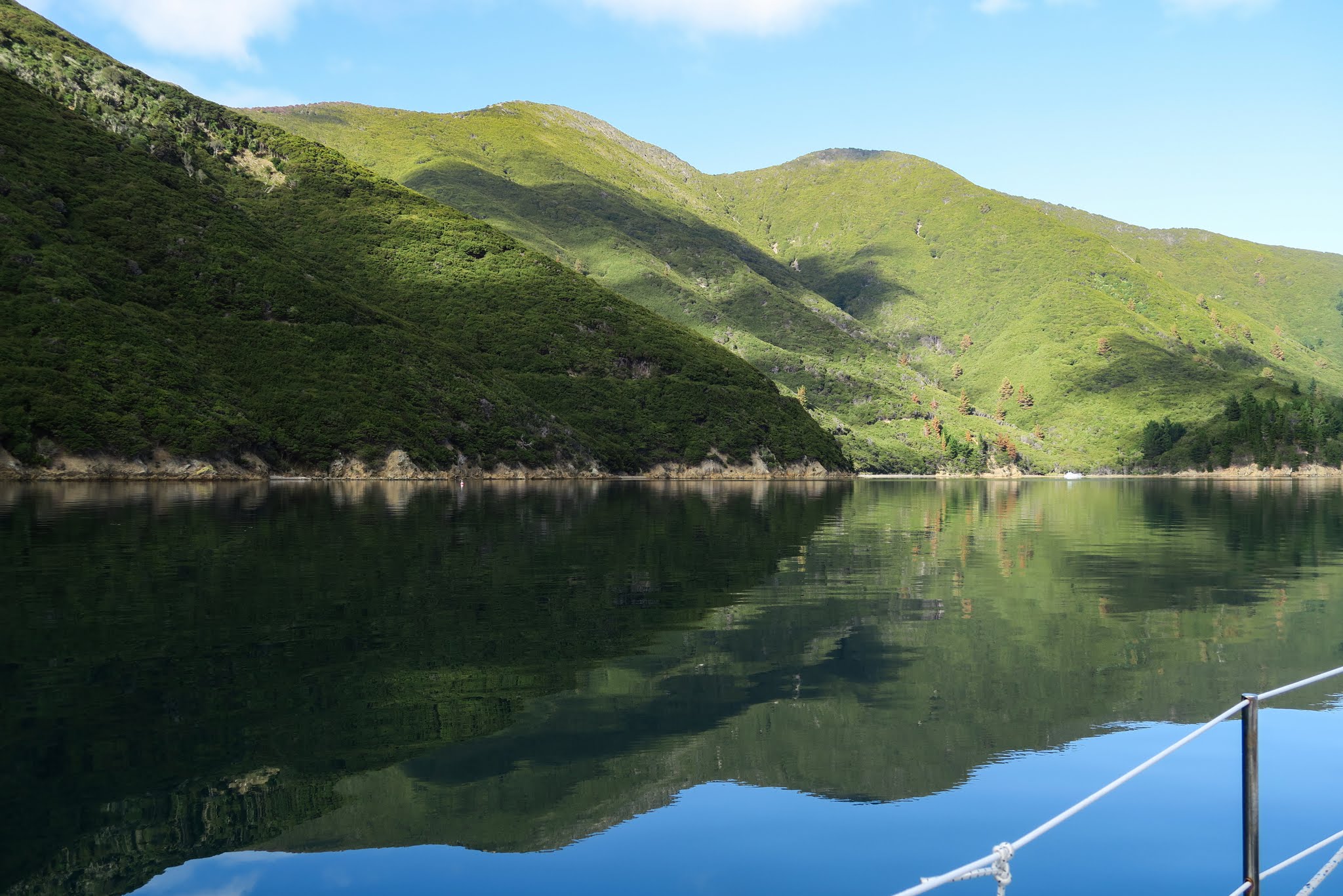
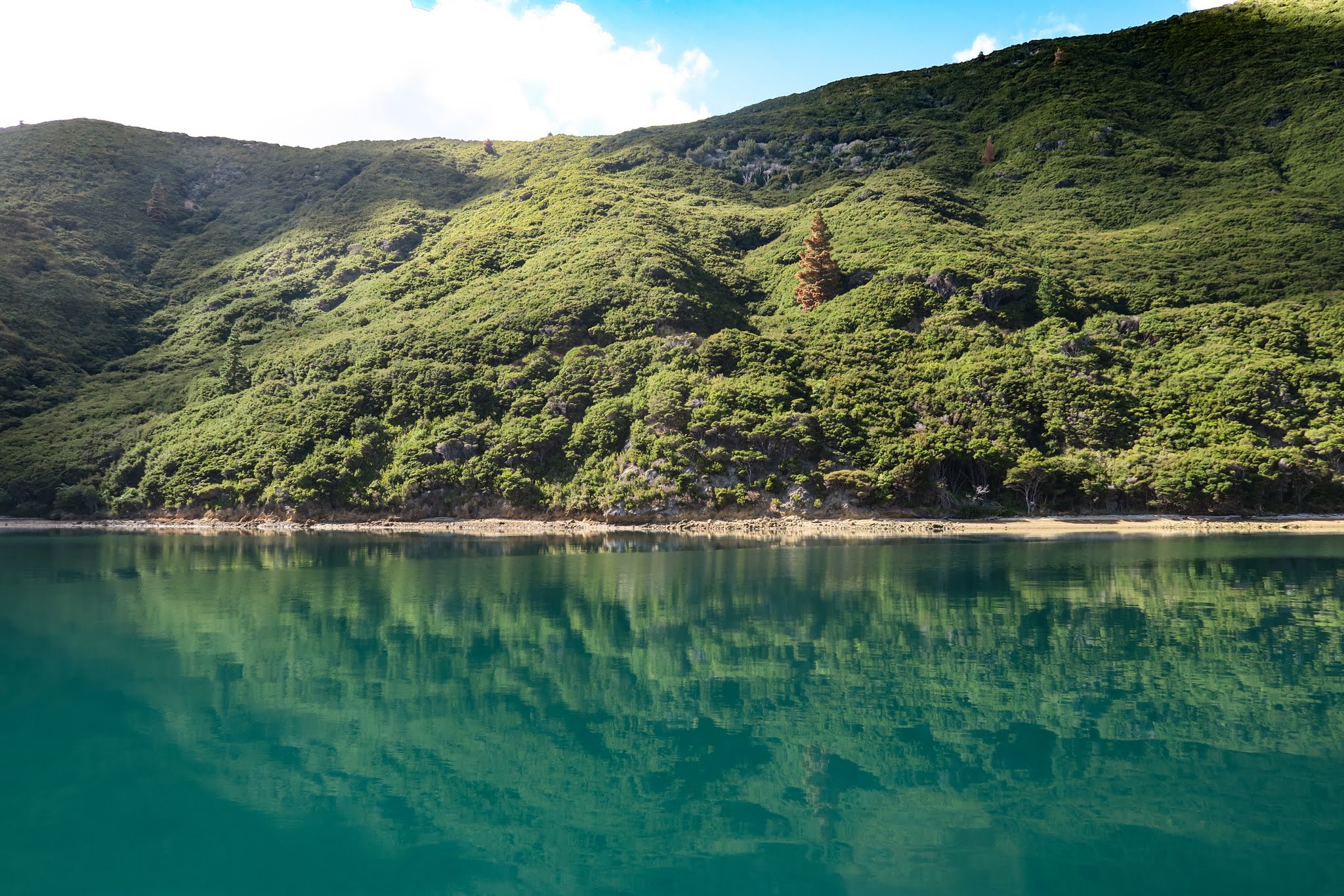
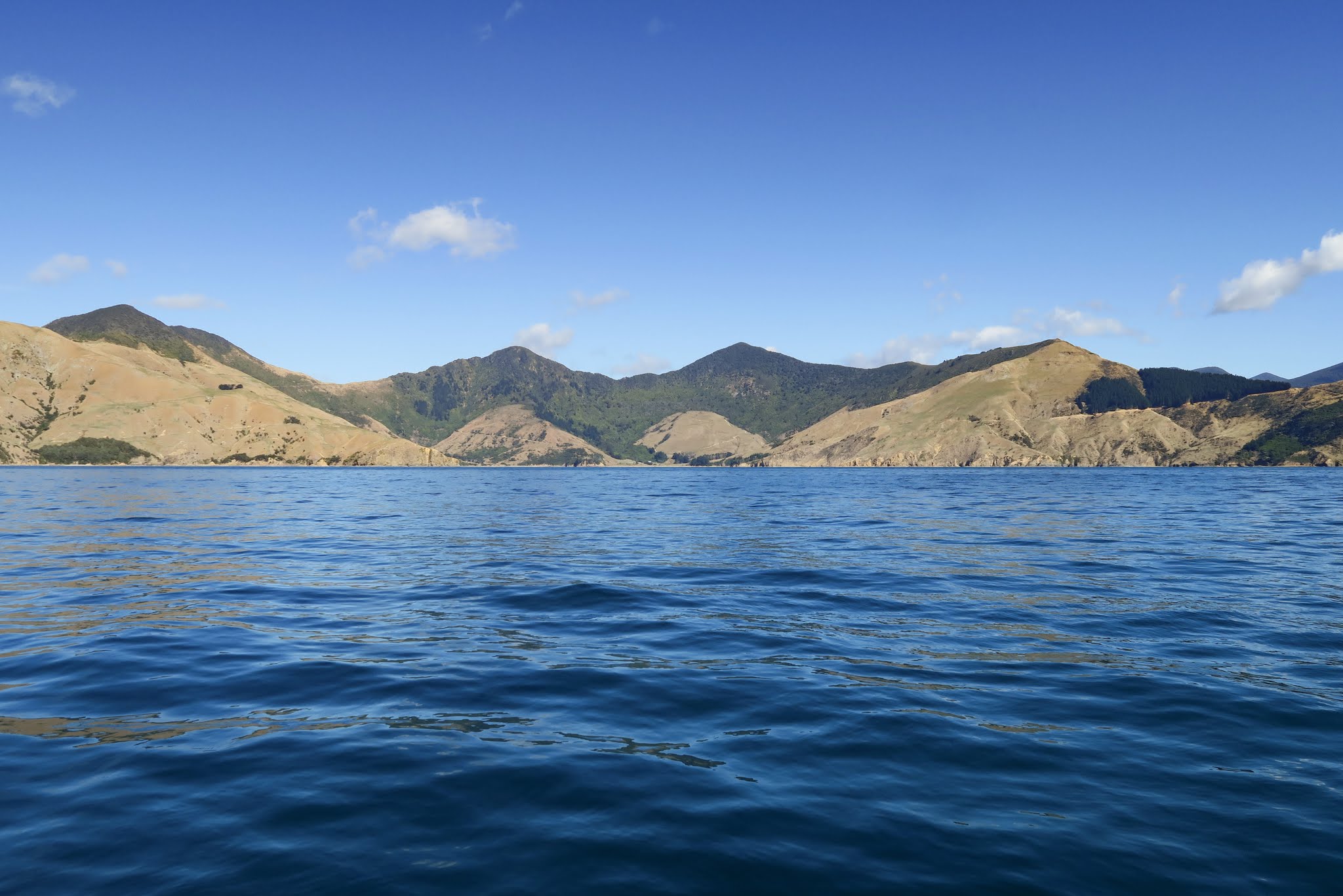
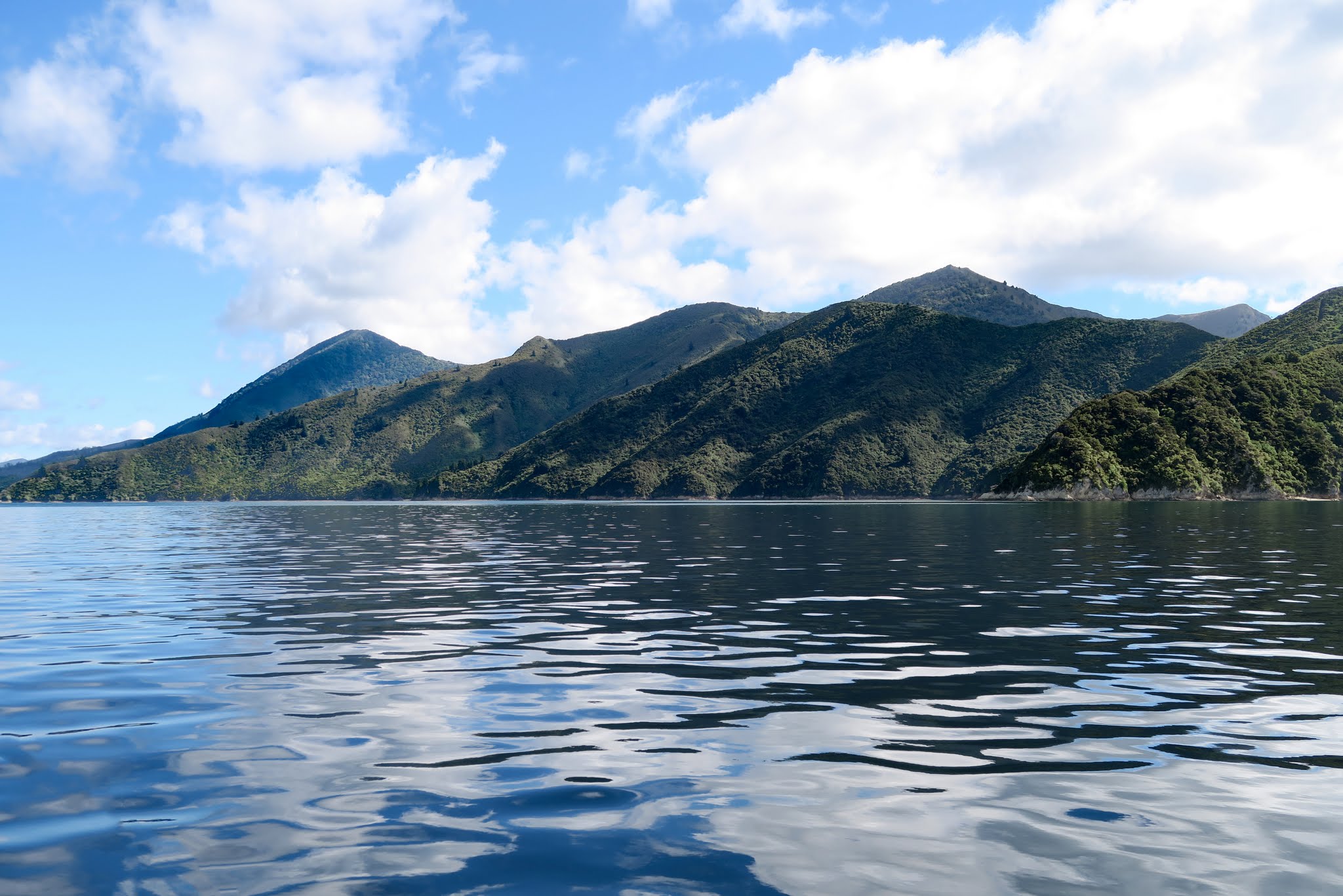
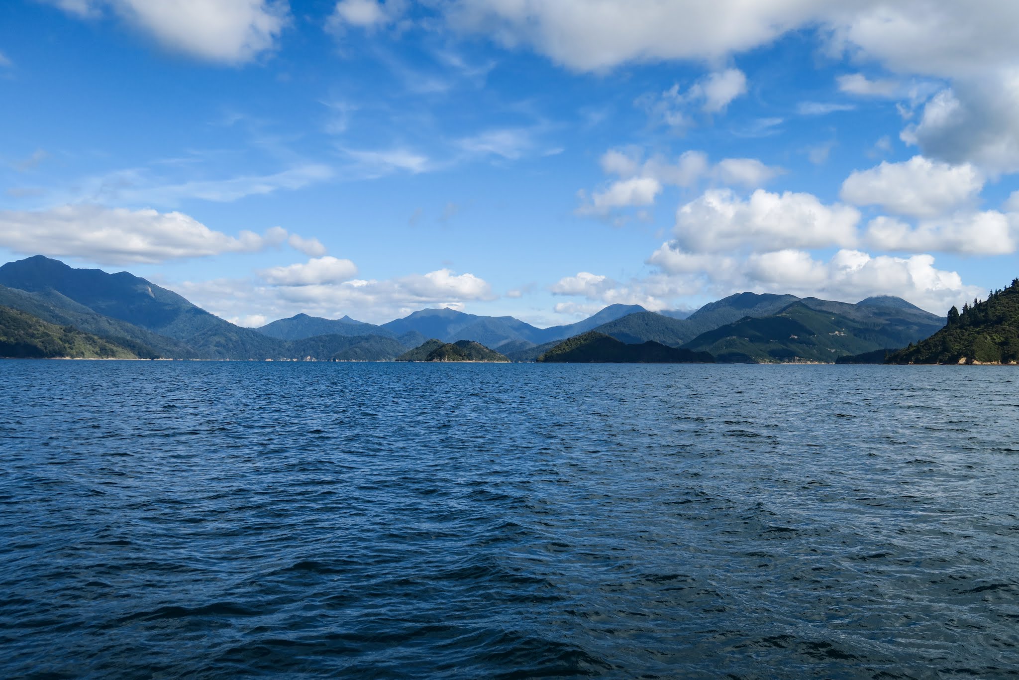
As we neared the Tawhitinui Reach, we noticed it took the varied landscape to an extreme. The south side of it was so dry and barren it looked like Jupiter, yet the surrounding mountains were thick with pine forest.

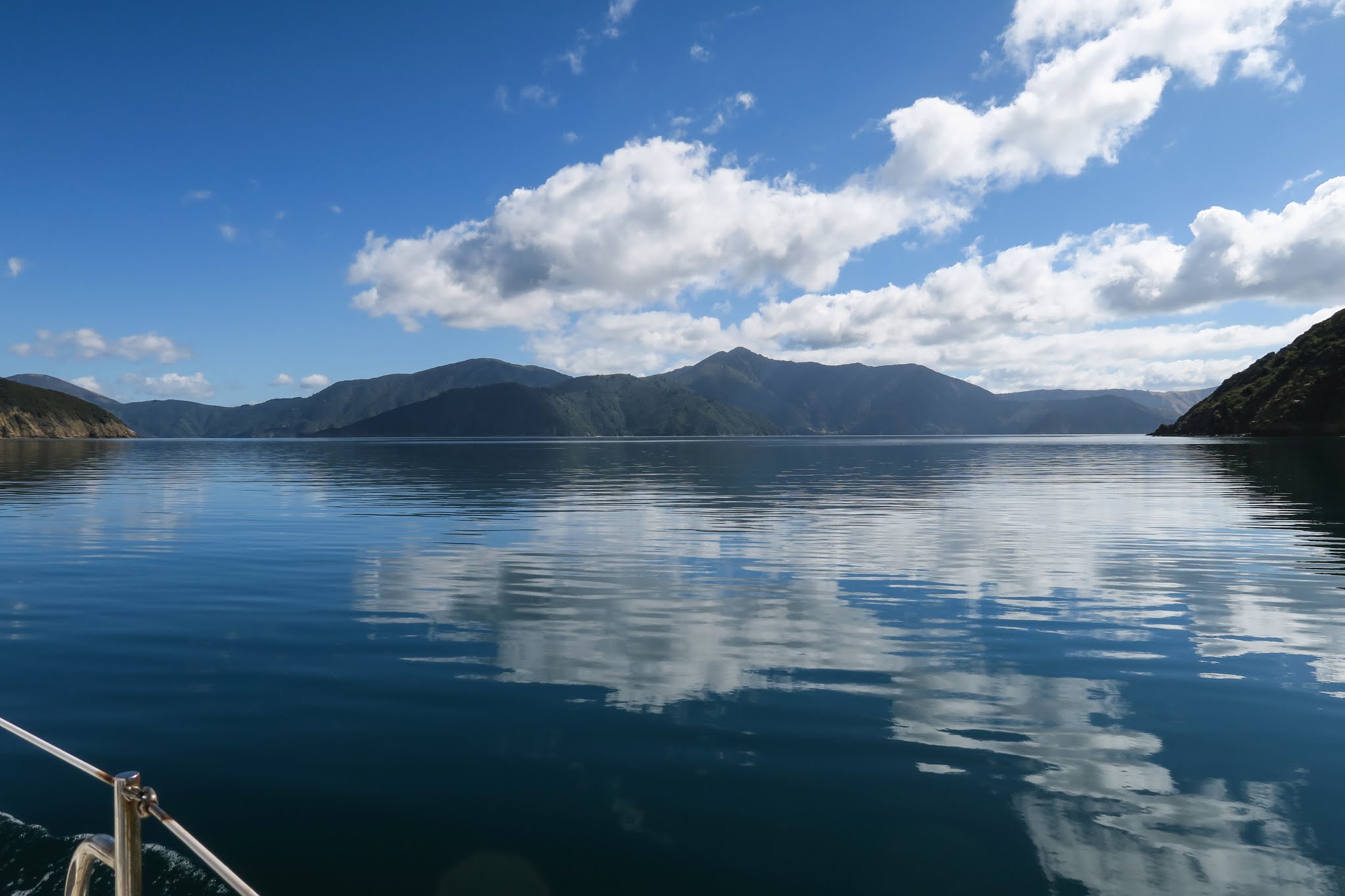
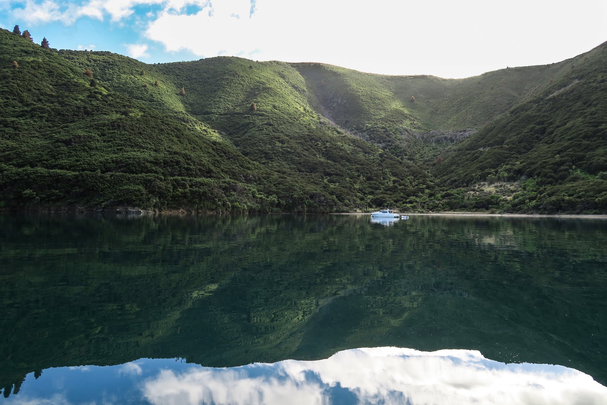
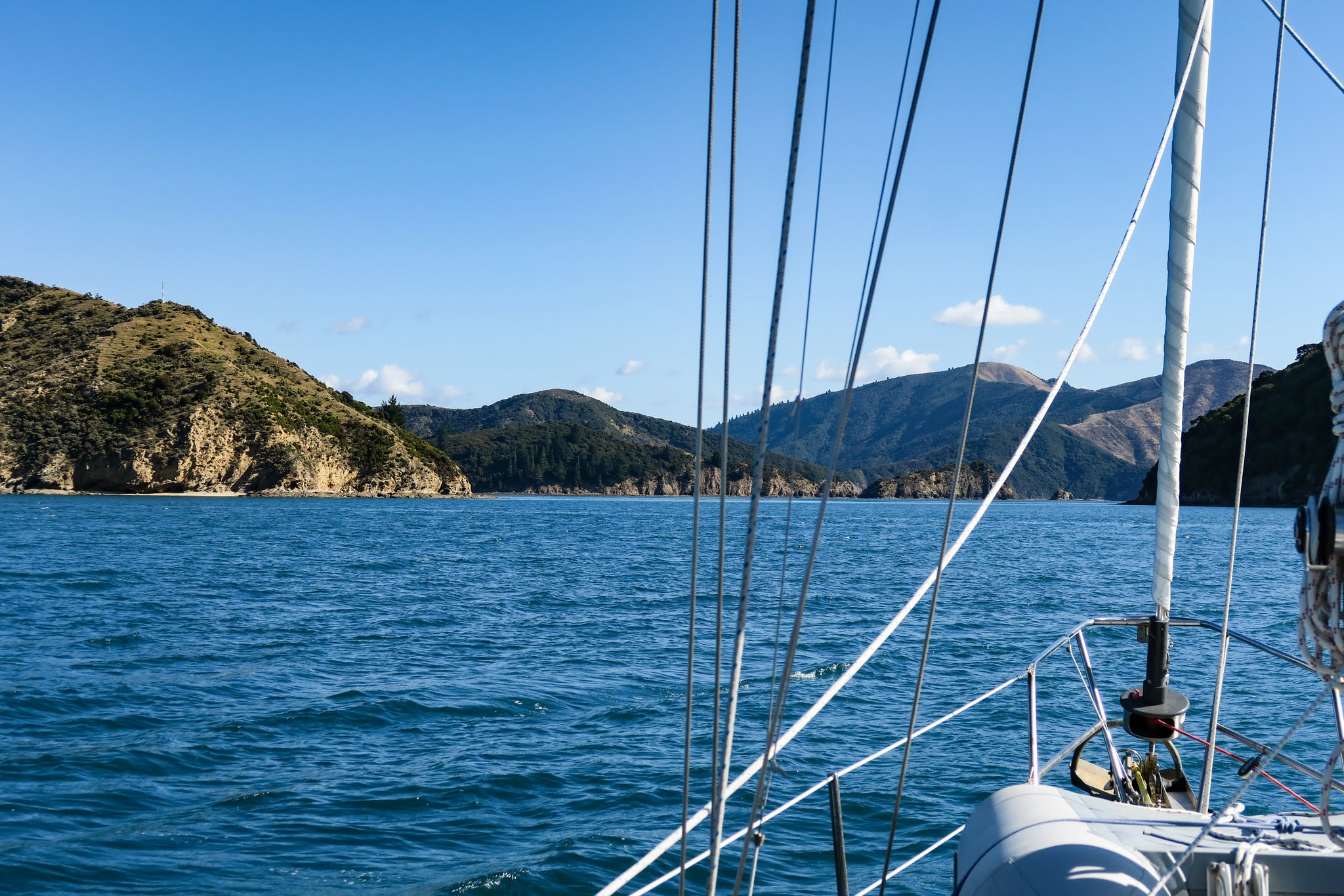
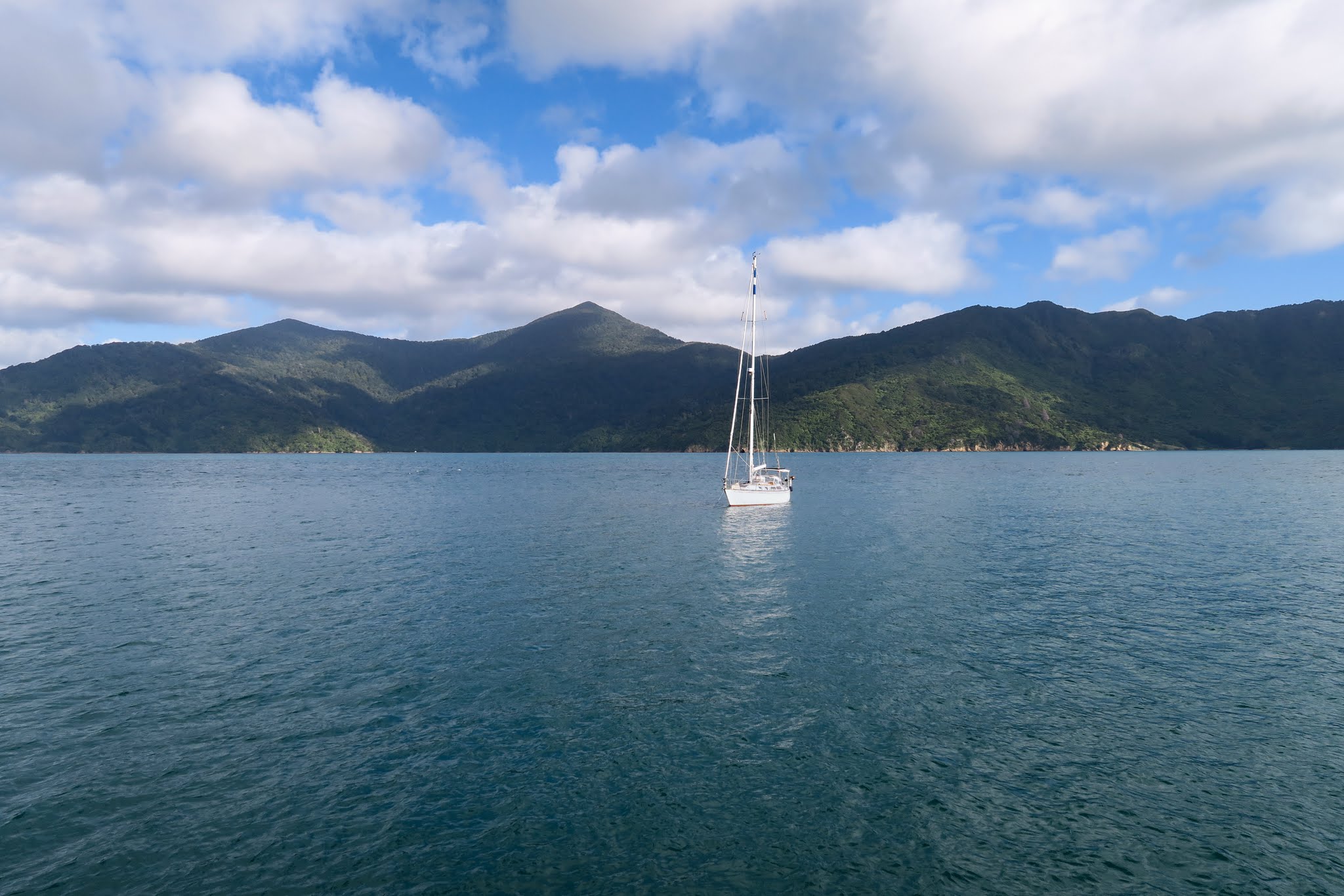
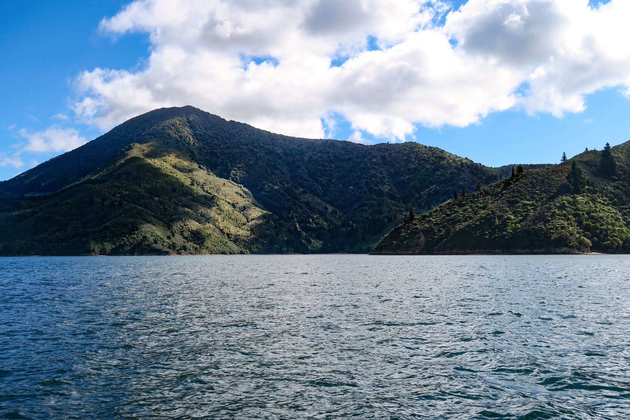
When we got there, we turned west. To our right was finally some of the hilly green pasture and grazing sheep we’d expected. To our left was the densely forested Tennyson Inlet and its islands. Ahead of us was Fitzroy “Bay,” actually a huge cul-de-sac of several very large bays.

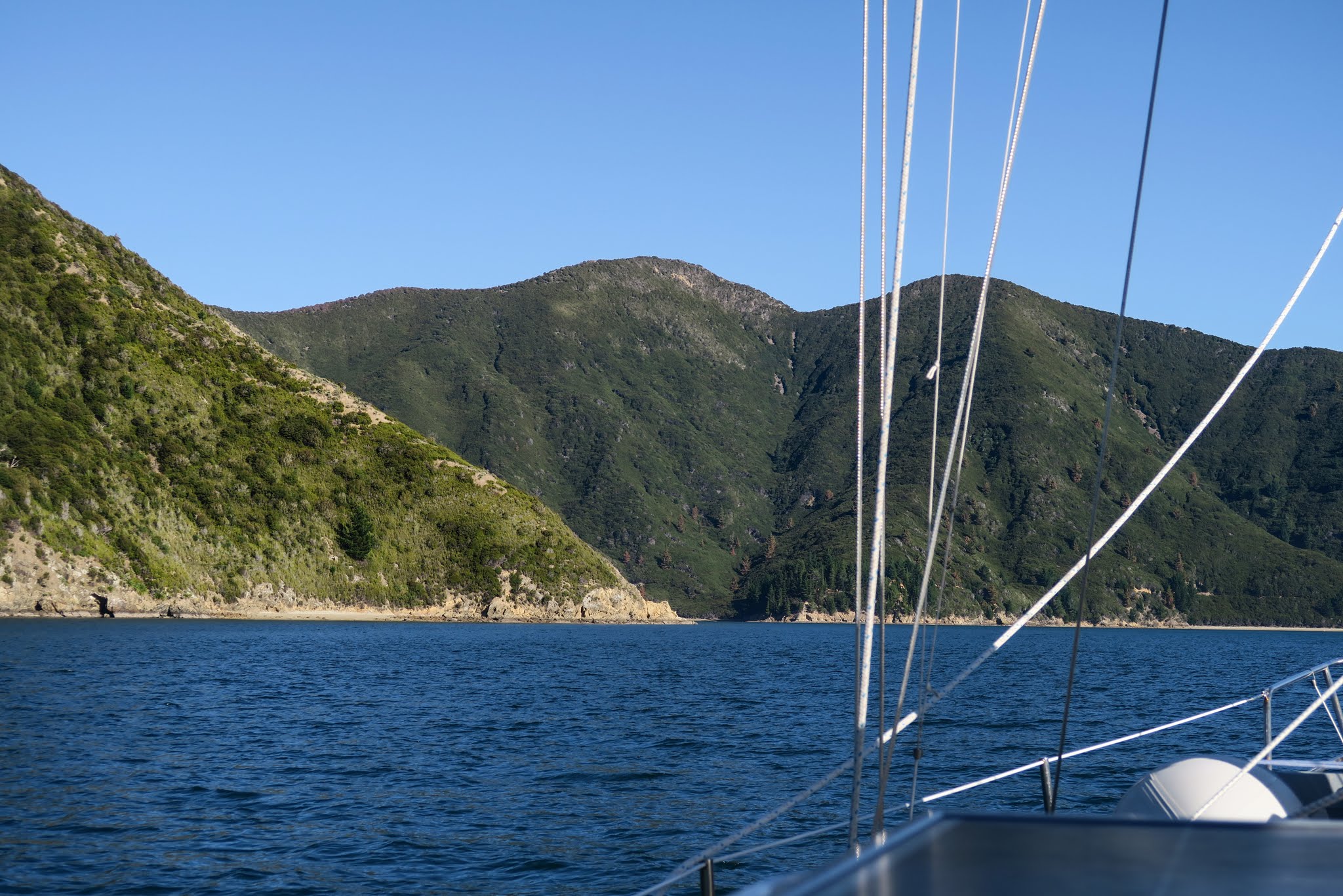
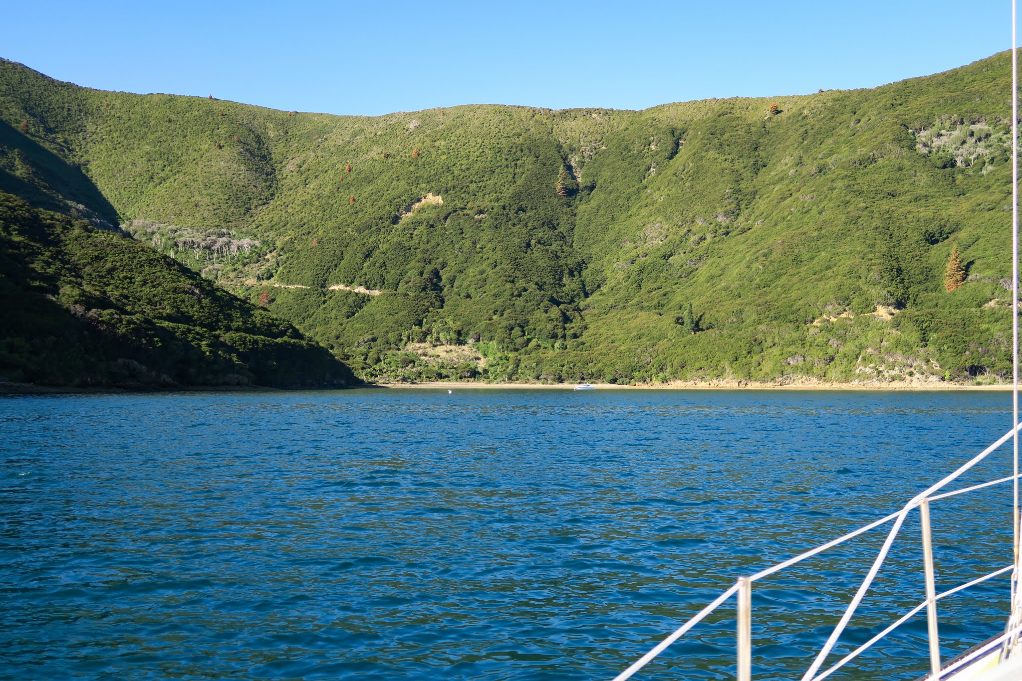
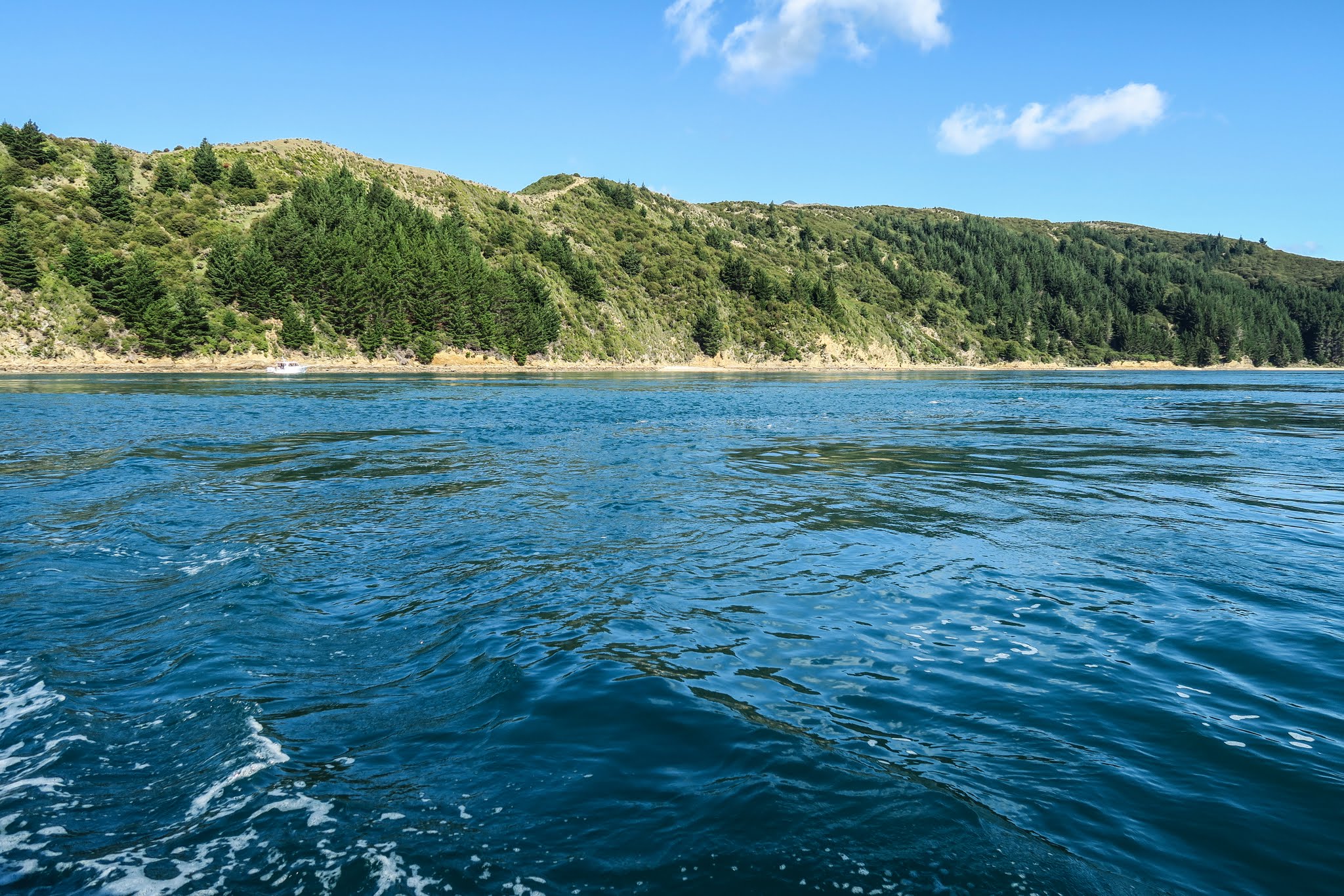
(Below, a gallery of photos of the Tawhitinui Reach: looking behind us towards the east end of the reach, looking down into the Tennyson Inlet, and the grassy hills to our right as we headed towards Fitzroy Bay.)

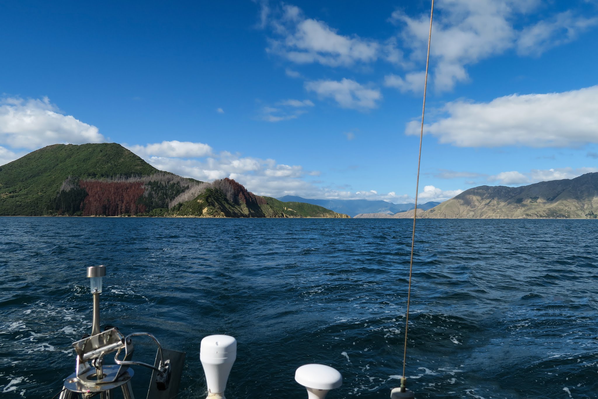
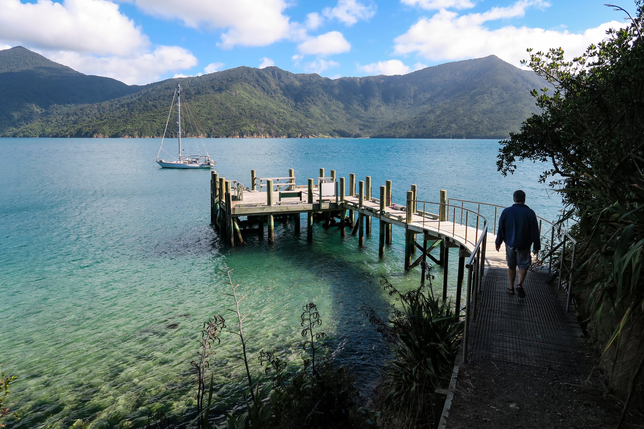
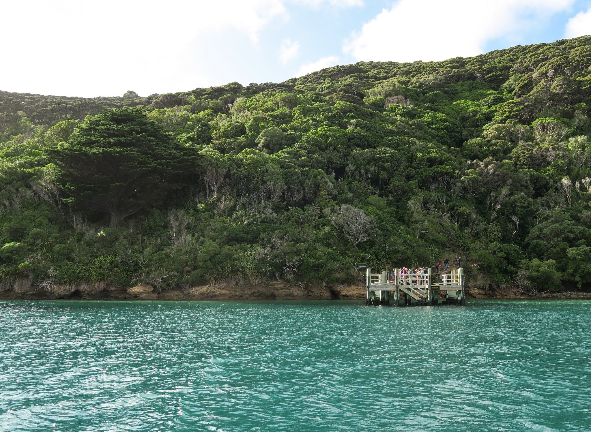
In the big Fitzroy Bay cul-de-sac, one arm, Hallam Cove, branches north. This was our next destination. –Cyndi

Heading Into to the Pelorus Sound and Ketu Bay (Marlborough Sounds, New Zealand)

April 5 and 6, 2016

The Pelorus Sound is far more than the single name would indicate. It’s the gateway into an area of sounds and waterways going back 20-miles deep. At the innermost end is the little town of Havelock.

sounds-map

Our guidebook had mentioned that the Pelorus Sound is mostly farmland. I wasn’t sure what this meant, but I pictured green pastures and livestock. So far, though, this was looking like fairly dry grass and scrub. This wasn’t exactly surprising as the outer areas were very dry, but we’d hoped to see more greenery as soon as we headed into the sound.

Our first stop was Ketu Bay, not far from the entrance. We’d heard this bay was very pretty, but as we turned into the bay, we were fairly underwhelmed. The hills were tall, but the vegetation was more chaparral than forest. This felt more like Southern California than New Zealand.

After anchoring on the east side of the bay, we sat outside to get a sense of our surroundings. It’s not that this place wasn’t perfectly nice, but this sort of scenery is not why we came to the sounds. Below, a gallery from entering Pelorus Sound and photos of Ketu Bay. (Click to enlarge and scroll on any of the gallery photos below.)

With this, I decided to change our game plan. Instead of working our way inland slowly, we’d to go straight for the “big guns,” the most recommended destinations in these sounds. If Ketu Bay was representative of the rest of the area, it would be better to find out now and head on sooner.

The new plan: Skip the remaining anchorages in this main branch of the Pelorus Sound and head straight to an area called the Tawhitinui Reach. This would give us access to the Tennyson Inlet (recommended by pretty much everyone), and Hallam Cove (recommended by the guidebook). After visiting those places, we’d head down the Popoure Reach to the Kenepuru Sound (with its iconic Portage Resort Hotel), and maybe spend time in the town of Havelock.

After a very peaceful night’s sleep, we went to have our morning coffee outside. I have to say in the morning light Ketu Bay looked much prettier. The clouds and dampness made the hills look greener, and when the sun came out the glassy water reflected the mountains like a mirror. Maybe we were a little hasty in our judgement, but we decided to stick with the new plan and head inland. Below, a gallery of Ketu Bay in the morning light. –Cyndi

Charts Marginal in the Sounds

April 5, 2015

Today, we motored around Cape Jackson. As it’s a long point that sticks out into the Cook Strait, with lots of water moving around it from the strait and from the sounds, we were cautious and sought local advice. “Stay close to the cliffs” was what we heard. OK, fine, but that wouldn’t be so easy with the lack of detail on our charts.

CM93 chart on openCPN.
CM93 chart on openCPN. I love the question marks around the reef. WTF! Get out there and find out what’s under the water before some poor boater has to do it by the braille method!!!
Navionics Gold Chart on our Chartplotter
It's the same with New Zealand's own NZ Mariner charts (probably the source of the data for the above charts).
It’s the same with New Zealand’s own NZ Mariner charts (probably the source of the data for the above charts).

The line with circles or squares and arrows shows our route and the track we took around the point. All three of the above charts show us lifting Legacy out of the water to traverse the reef. We didn’t have to do that.

Here’s another example of Satellite images to the rescue.

Nokia Satellite Image in openCPN
Nokia satellite image in openCPN. By the way, you can sure see the water moving around the point in this satellite image! I’m glad we were cautious.

Above is a Nokia satellite image (KAP file) made with ChartAid. It clearly shows the rock with the old lighthouse offshore and the exact shape of Cape Jackson. We were able to stay close to the point as advised and had a very pleasant trip around to the Pelorus Sound.

In general, the Navionics charts have been marginal at best for the areas we’ve been in the sounds. Not as bad as in parts of Fiji, but not as good as I would hope they’d be. In some places, I’m pretty sure they just mimeographed James Cook’s drawings. Not only is the land shape off or dislocated, but they lack sufficient soundings and the soundings that are shown are most often inaccurate. This was a surprise to me after the spot-on detail we’ve seen in the North Island.

And to make matters just a little worse, the satellite images here are often pretty bad. Maybe it’s that this is too far south for a lot of satellite passes, but the images are often blurry, obscured by clouds, or extremely contrasty. I was lucky to find such a good image of Cape Jackson.

Even with these chart difficulties, it’s not been difficult to get around here. Reefs and rocks are often marked and the area is deep enough that bumping the bottom isn’t much of a danger if we just keep off the cliffs by a reasonable distance. -Rich

Out and Around to Pelorus Sound (Marlborough Sounds, New Zealand)

April 5, 2016

Making the 26-mile journey from Queen Charlotte Sound to Pelorus Sound seems simple enough on paper, but in reality it has a few hurdles. (You can click markers on the map to see what’s what, enlarge, etc.)


The first hurdle is rounding Cape Jackson, the point at the north entrance to Queen Charlotte Sound. I don’t know if this area is technically considered the Cook Strait, but it’s close enough have some of its issues: strong currents, standing waves, funneling winds, tide rips and overfalls (I don’t know what those are but they don’t sound appealing). Thus to round the cape we needed two things: settled weather and slack tide.

We certainly had the first part of that: the light southerly wind had died to a breeze. And the second part was going well: we were timing our arrival to Cape Jackson carefully so as to round it in slack tide, then have the current with us as it picked up again. We followed the advice to stay close to the land, passing between the it and the lighthouse which stands on a sunken rock outside the point. (You can see Rich’s post about this here.) Below, our approach and rounding of Jackson Point.  You can click to enlarge any of the photos below.

After that it was easy-peasy for about 7 miles across the giant, ocean-facing bays between the sounds. The area is mountainous but very barren, and we no temptation to go exploring. In fact, this reminded us a lot of cruising the Sea of Cortez in Mexico. Motoring along in still water past large desert mountains brought back a lot of memories from that time! Below, photos from that section of the trip.

As we neared Pelorus Sound we had a decision to make. An island called Forsyth nearly divides the final big bay just before the Pelorus Sound, creating Guards and Forsyth Bays with just a narrow channel of water (Allen Strait) between them. A boat has two options:

Option 1: Go down into Guards Bay, through the Allen Strait, then back up through Forsyth Bay to round the east entry point into Pelorus sound. Since Allen Strait can have some strong currents, it’s best to have it with you as you go through.

Option 2: Round the top of Forsyth Island then head down into Pelorus Sound.

At first glace it might seem easiest to go around Forsyth Island, and many people under sail will choose to do so. But Forsyth Island creates a protective barrier over both bays it’s created, and going through them lets you do the final miles in protected water rather than open ocean. This is why we chose the second option.

As we passed through the Allen Strait, the water was swirly, but with the current with us it was more fun than intimidating. Up until this point the landscape had been barren, but as we motored into Forsyth Bay we saw some pine forests on shore, and it was even kind of pretty here.

We headed on up through that bay and rounded Kaitira, the east entry point into the Pelorus Sound. Below, going through Allen Pass, and the west (Te Akaroa) and east (Kaitira) entry points into Pelorus Sound. –Cyndi

Motuara Island (Queen Charlotte Sound, Marlborough Sounds, New Zealand)

April 5, 2016

Panorama photo. Photo taken from the lookout tower on Motuara Island.
Photo taken from the lookout tower on Motuara Island.

Motuara Island is one of New Zealand’s “singing islands,” places that have become refuges for native birds. They’re like a porthole back into time, what New Zealand’s forests were like before human-introduced predators (stoats, rats and Australian possums) decimated much of the native bird population. Thankfully many of these species have been saved and now thrive in protected wildlife areas like this one.

Motuara is not a very sheltered anchorage, but anchoring near the pier gave us protection from the light southerly winds. We noticed passengers from small tour boat disembark before we got ashore and hoped to stay behind the group. There’s only one path here, a 20-minute uphill walk ending at a lookout tower alongside a monument to Captain Cook.

Once ashore, the first thing we noticed was the birdsong, so distinct in area like this. Soon, a friendly, curious New Zealand robin started trailing us, and we were seeing more and more birds in the trees around us. As we climbed higher we admired some impressive views of neighboring islands and the outer sound. We were also visited by more robins, who seemed totally unafraid of people.

We caught up to the small beehive of a tour group, some gathered around Captain Cook’s monument while others were squeezed onto the platform of the lookout tower. We didn’t let that deter us and squeezed in there with them, eavesdropping as their guide told stories about Captain Cook’s visits to this area. We didn’t stay long, though, and were able to get ahead of the group. (Below a gallery of photos from the Motuara trail. Click to enlarge and scroll.)

This didn’t last long. I was stopping so often to take photos of birds and scenery that the tour people caught up to us, bypassing us in groups of twos and threes. What struck us was that every single one of these people was so deep in conversation that no one was so much as glancing at the views, much less noticing any of the birds. We stood aside and let them all pass, relived when this group of chatterboxes all got back onto their boat and headed off. Now that the noisy group was gone, more and more birds started to appear.

Come to find out, we were near a small pond that serves as a communal bird bath, and if you’re quiet and patient, they’ll come bathe right in front of you. The park has even built a small, multi-level seating area by the pond so you can sit and watch.

And so we watched, and soon we were treated to bathing saddlebacks, robins, and yellow-crowned kakariki, all rare and endangered. Rich was sitting, but I stayed standing so I could film them. Rich kept telling me to be careful not to step on the robin who continually stood at my feet watching me, probably wondering why I was so interested in those other goofball birds when I had a much more interesting bird right at my feet.

Below, a gallery and a video clip of the bathing bird follies. The saddlebacks are the birds with the wattles on their cheeks, and the kakariki are the little green parrots. The New Zealand robin is the blackish bird, looking up at me and wanting reassurance that, in spite of photographing the other birds, I loved him best.

After awhile, it was time to head back to Legacy and start our journey to the Pelorus Sound, but this had been well worth taking the time to do. In fact I would say it’s a must-do for bird lovers; just don’t bring your talkative friends.–Cyndi