Posted June 1, 2023
about September 11, 2022
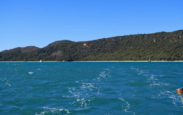
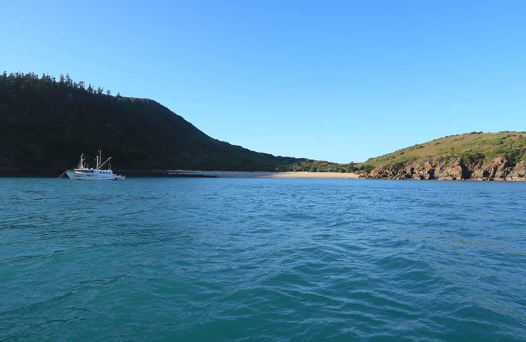
The morning was calm; then the wind suddenly picked up out of nowhere. It seemed odd, but since we were expecting 15-knot winds for our 35-mile trip from Pearl Bay to Hexham Island, we weren’t concerned. We headed out into the breezy day while friends on another boat opted to stay put. Had we known then what we know now, we would have stayed put with them. Below, a photo looking back at Pearl Bay as we left:
Once we were heading up the coast, the landscape became noticeably dryer, more typical for this part of Queensland. I’d hoped Pearl Bay signaled the beginning of more greenery, but apparently it simply gets more rain than is usual for this area.
Some time later, as we sailed by Townshend Island, the wind strengthened to 19 knots. The good news was we were on a broad reach, the wind comfortably aft of the beam. And with a 2-knot current going with us, we were making great speed. Still, I was wondering what was up with this wind—could Townshend Island be creating some sort of funnel effect? Whatever was going on, I hoped it would die down once we passed the island.
Meanwhile, Rich noticed something alarmingly close on the radar. He looked out and saw a big plume of water. After wondering if it could be an uncharted rock, we were relieved to see it was a breaching whale. As we got closer, the whale turned upside down, stuck its tail up out of the water and started slapping it down repeatedly. This went on for quite a while–every time we thought the whale was done, he’d start up again. I say “he” because this is apparently typical behavior for male whales. Maybe he thought Legacy was a pretty lady whale and wanted to show off. Here’s a link to a post Rich did about the whale’s tail.
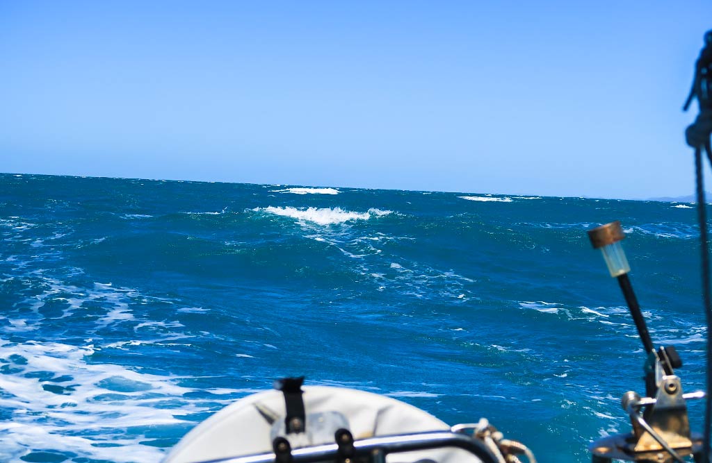
After we passed Townshend Island, I was dismayed when the wind not only didn’t die down; it continued to pick up. It was soon blowing in the low 20s, gusting up to 27 knots. The sea became covered with whitecaps and the wind waves increased to at least a meter, big enough that we started to surf along them as they came up from behind us.
Our saving grace was that we were going downwind, and as long as we didn’t maneuver, the situation would remain stable and controlled. But unless we were willing to just keep going and skip Hexham Island (not a bad idea in retrospect) we would eventually have to turn and jibe the sail as we did so (which means bringing it from one side of the boat to the other while going downwind). Jibing can be a harrowing maneuver in conditions like these, and I didn’t look forward to that ordeal.
Meanwhile, the thought going through my head: This is not safe. Things may have been under control, but I didn’t feel safe being out here in these conditions. We’ve been in many varieties of sea states, some with much bigger waves than these; but while we typically experience discomfort, it’s rare I feel endangered.
(Interestingly as I write this post, we just made a very similar passage and I never felt nervous—merely annoyed when things fell over below during particularly big swells. There was something about the sea state during that Hexham Island passage that felt menacing.)
Hexham came into view, a smallish island with a tall peak. I was hoping the conditions would improve when we got behind the leeward side of the island. They didn’t; they got worse! The wind was still up, the sea rough, and now we encountered a strong current pushing us towards the rocky shore. We had to turn up the throttle in order to fight the current.
At this point I knew the jibe was coming up and was pretty nervous about it, but Rich went over the plan of how we’d work together to get it done. When the time came, it worked out with minimal drama. We were now close to the anchorage and hopeful we’d soon be out of these conditions! As they say in infomercials, though: “But wait, there’s more!”
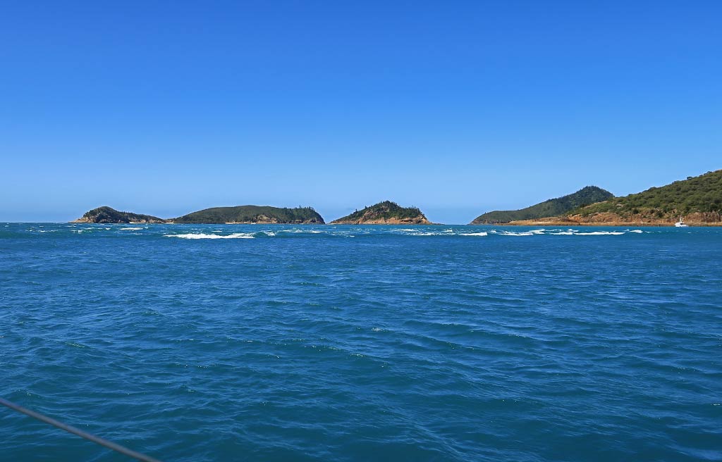
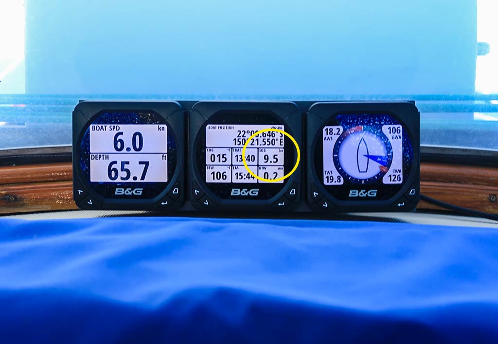
I could see ahead of us was a big patch of very disturbed water, reminding me of what happens in narrow channels between land masses, but there was no channel here. I asked Rich, “What is That!?” Well, it seemed it was a particularly bad spot of current meeting wind, and we’d have to go through it to get to the anchorage. Rich was preparing to drop the mainsail when the current suddenly picked up and had us barreling along at over 9 ½ knots! Dropping the main now became an urgent matter as we scrambled to get the sail centered and bring it down while going through this crazy current and churning waves.
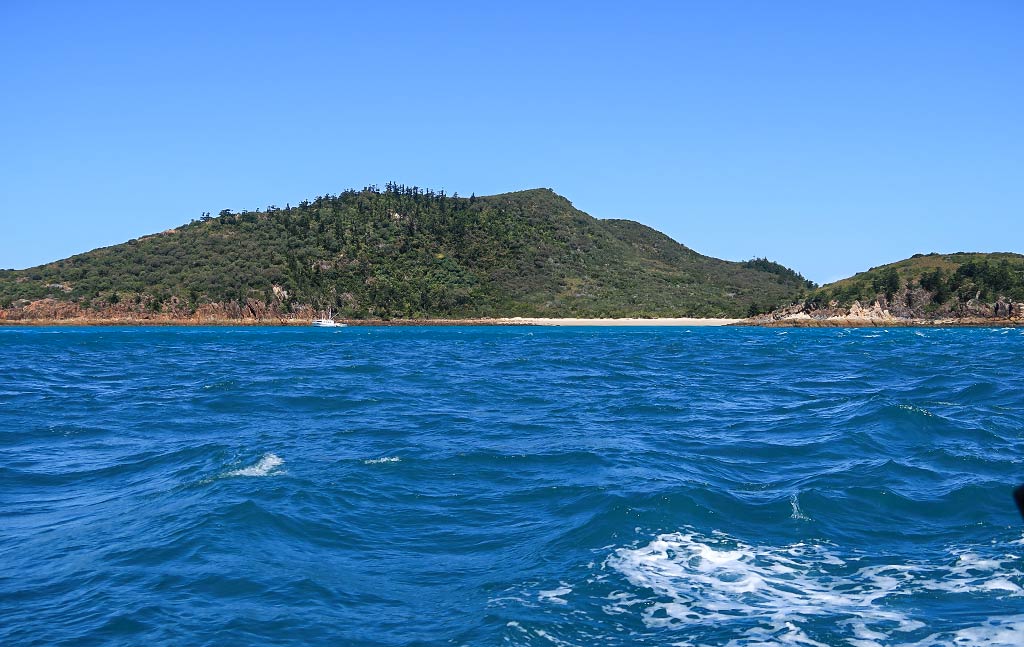
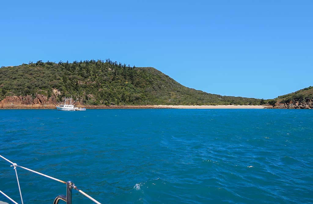
Once the sail was down and the rough water was behind us, we could turn and head into the anchorage. Unfortunately there was a fishing boat taking refuge very close to our chosen anchoring spot. There was still enough room for us, albeit not as close to shore as we would have liked. Thankfully, while it was still windy, the water in the anchorage was pretty calm.
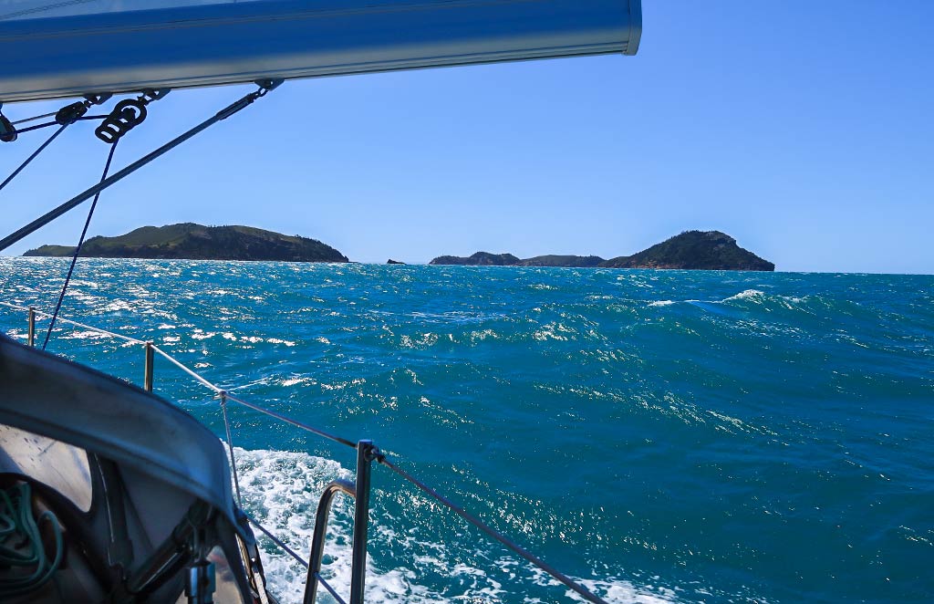
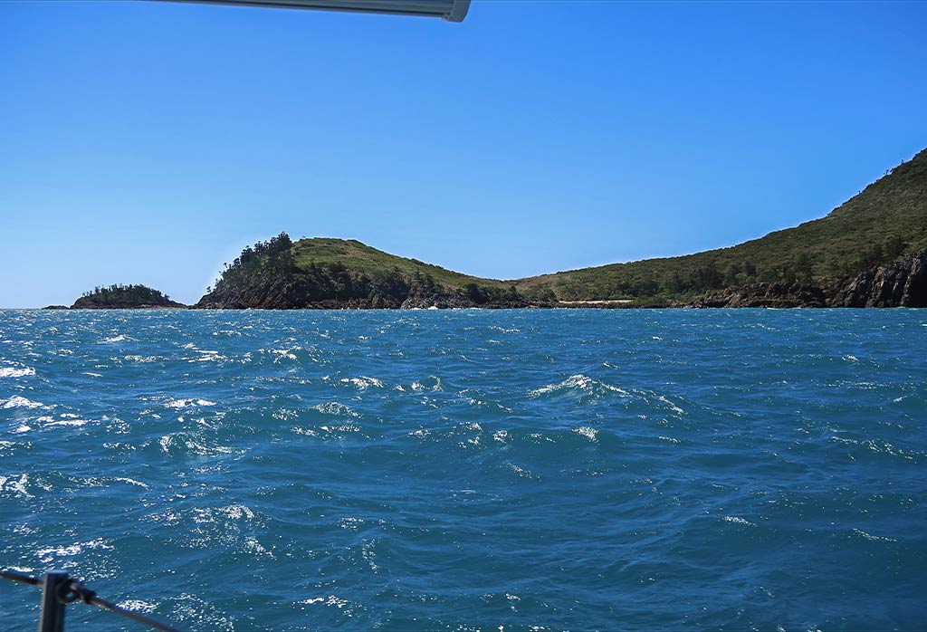
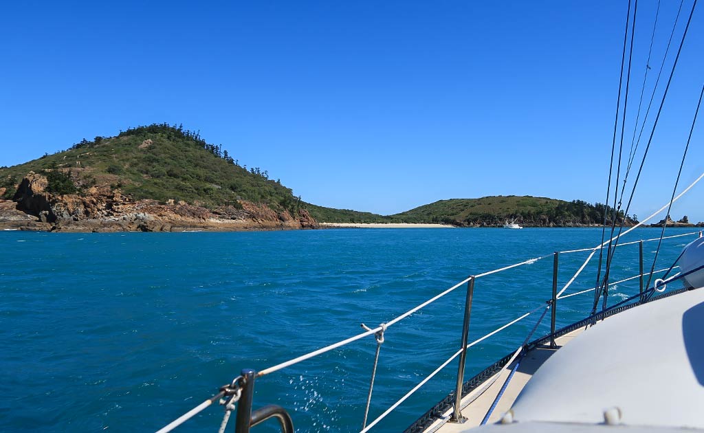
Below, a photo gallery of our trip and the approach to Hexham Island, including the rough area of water and our instruments showing our SOG (speed over ground) at 9.5 knots in the current. The final photo shows our entry into the anchorage after we got through all that and the fishing boat that we’d be sharing the anchorage with. (Click any photo to enlarge.)
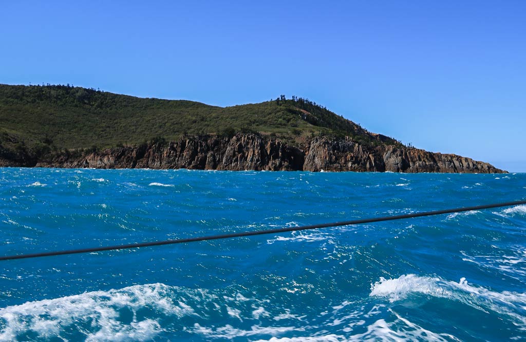
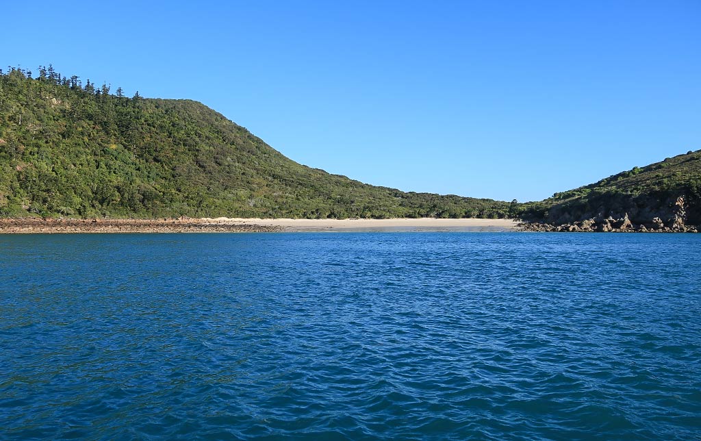
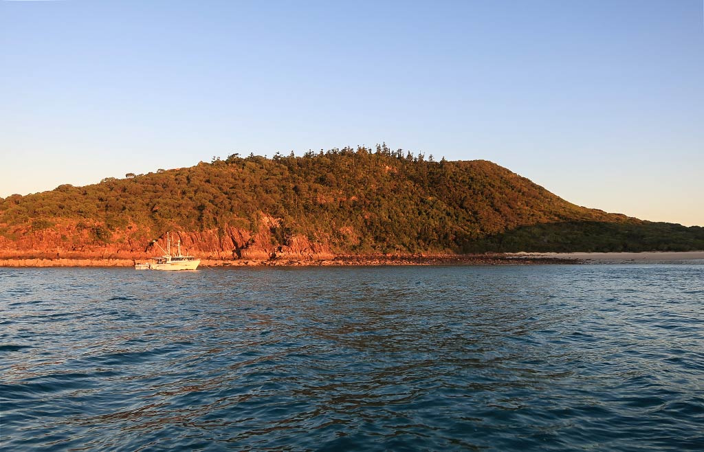
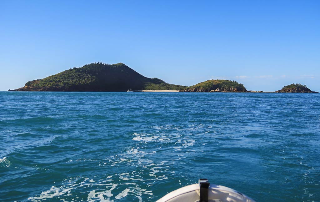
After we got anchored, I took a look at the island. It was attractive with its peaked hill with bushy greenery above the reddish rock cliffs along the shore. The hill sloped down into a low saddle behind the beach then up again into a smaller rounded hill. This hill boasted a trail with a lookout point, one of the reasons I wanted to come here.
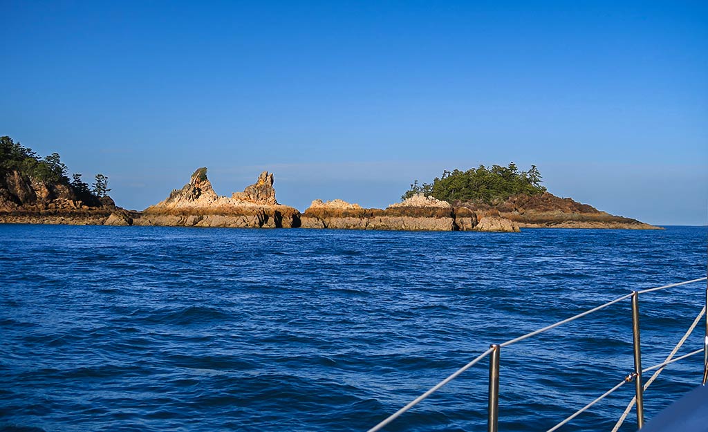
Our anchorage was protected on the west side by a low arm with two distinct rock spires, and behind another arm ending in a small headland hill. To the east was a long low point and a view of other islands nearby. Below, a few photos of Hexham Island . .
The overall look of Hexham was interesting, the jagged spire rocks giving it a hostile edge that contrasted with the inviting beach and green hills. Rich hated it on sight, but I think some of that had to do with the rough conditions coming up here.
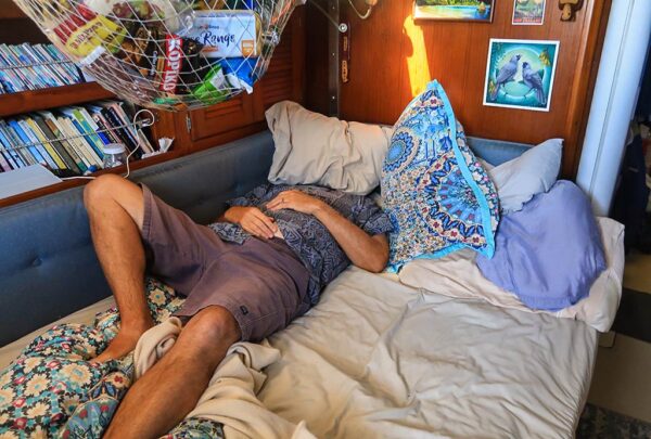
This is the point in the post where I’d usually have photos of our beach excursion and the hike up to the lookout point, but you won’t be seeing that because we never went ashore. Instead, here’s a photo of that sums up our activities after getting in: hide head under a pillow, lick wounds, and open bottle of wine not caring what time it was.
While the lookout walk would have been nice for taking photos, I have to say being here felt unnerving enough that I didn’t want to go ashore. I think our arrival ordeal left me with an uneasiness that I couldn’t shake–I felt traumatized in a way I haven’t been in a while. And usually when I do experience trauma, it’s because of extended discomfort. This trauma resulted from fear, especially during the final hour of the trip. I don’t think I’ve been so unnerved since we were swept out through a rough pass at the Fakarava atoll in French Polynesia.
I did do a forensic analysis of what happened today. The wind was obviously quite a bit stronger than forecast, not just here but where we’d been in Pearl Bay (we heard later that it had been really windy there all day). But I also remembered Alan Lucas writing something about current against wind making nasty sea conditions. I dug through the book to find it and yep, there it was: the huge tidal changes in this area create very strong currents. We’d now have to take that into account when making our next moves through these islands.
After a suitable amount of wine and TV to soothe our weary souls, we fell asleep early. The bay did become rolly at one point during the night but it wasn’t terrible. Yet it was another thing not to like about this place.
I woke up in the middle of the night and went to take a look outside. The moon was full and bright, beautiful but also the reason for the especially dramatic tidal current. The stars were only visible well away from the moon’s bright glow except for one very bright star. It seemed odd; then I realized the star must be Venus. Sometimes that planet is so bright that Rich and I joke it’s creeping closer to the Earth and all the scientists are keeping our eminent collision a secret.
Tomorrow, we planned to head on to the most popular destination in the Northumberland Island Group: Middle Percy Island in the Percy Isles. The weather was forecast to be much better than today, and the current would be with us if we left in the morning. I was a bit worried about going through that rough patch of water outside the anchorage again, but Rich didn’t think it would be an issue. I hoped he was right, and that tomorrow would be a better day. –Cyndi

