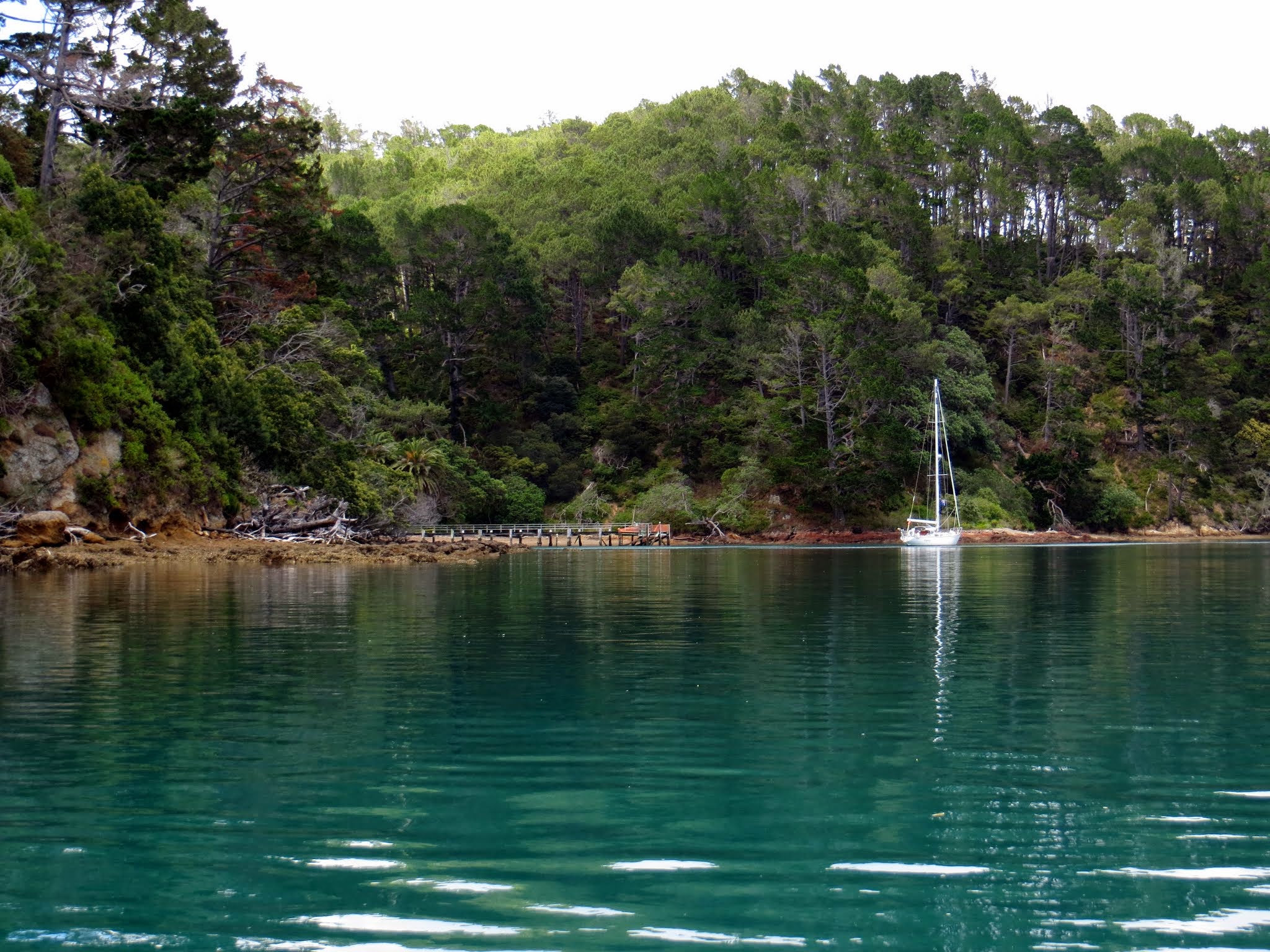
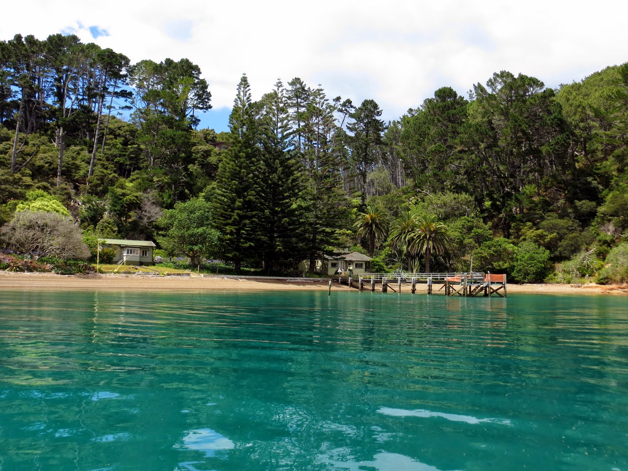
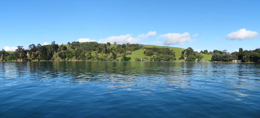
For our second visit to Kawau we wanted to try a new bay in Bon Accord Harbour (the harbor we stayed in before). After finding our initial choice, Schoolhouse Bay, filled with moorings and boats, we headed to Shark Bay which has two bights. We picked the bight called Sunny Bay.
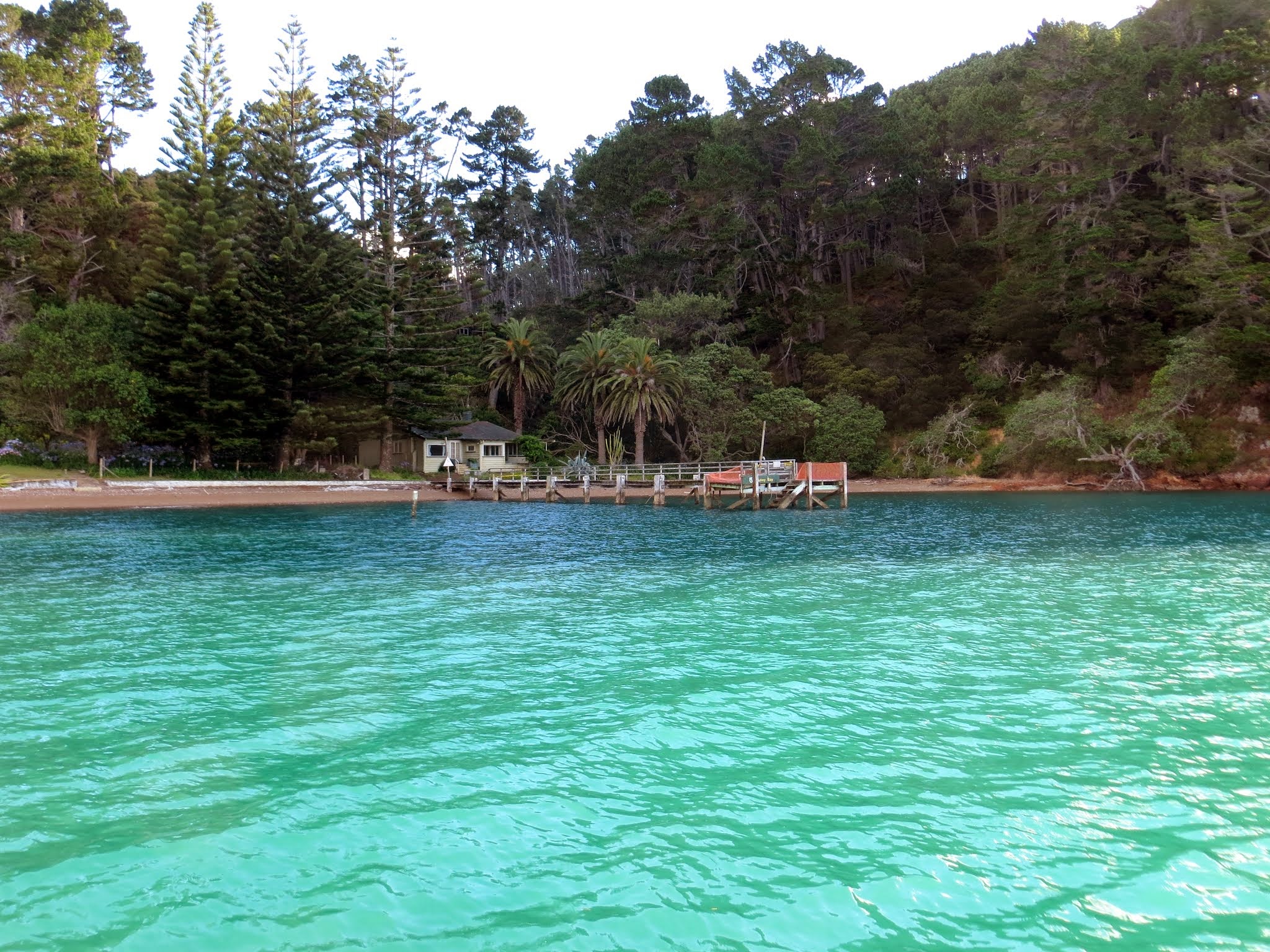
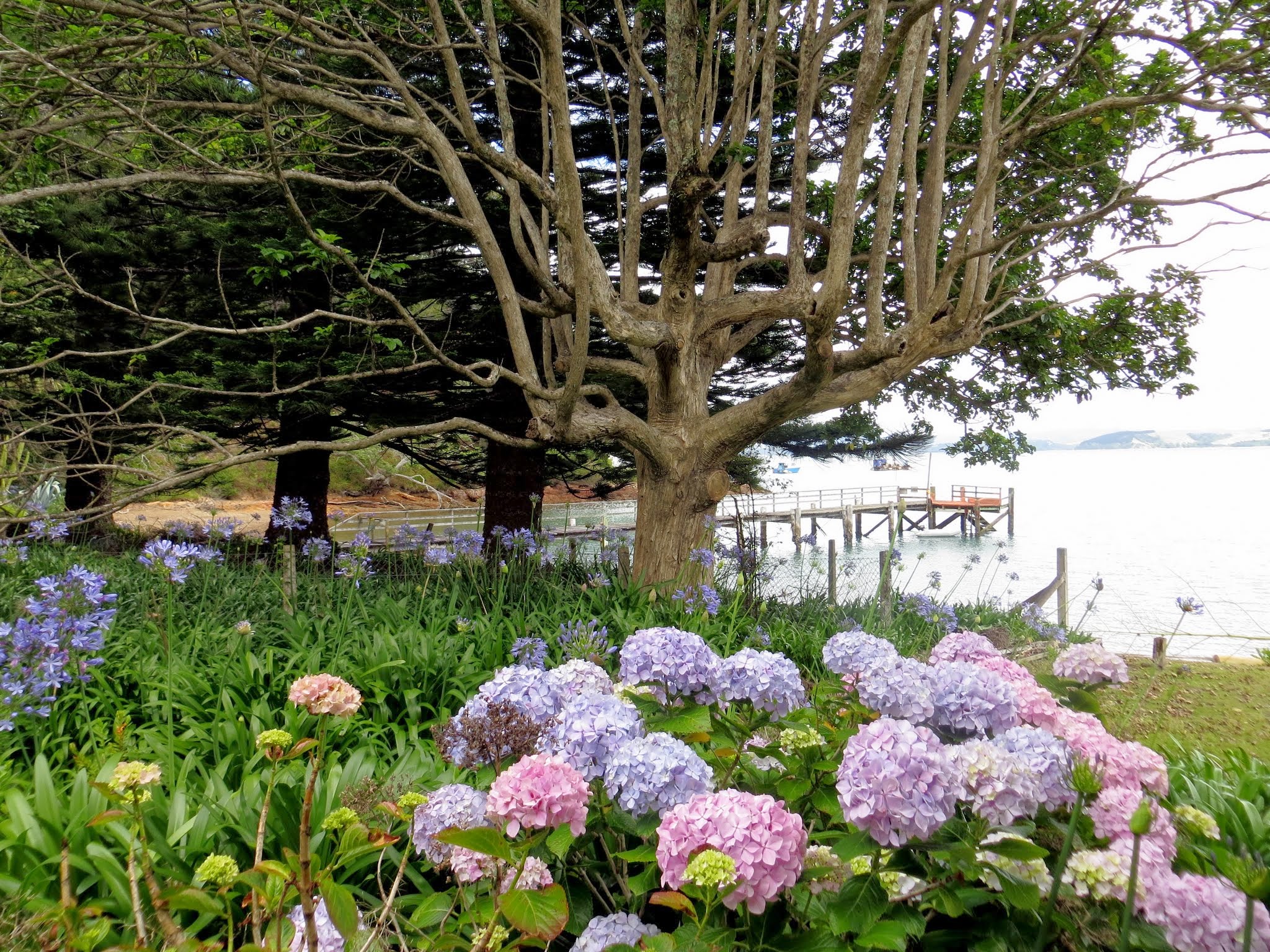
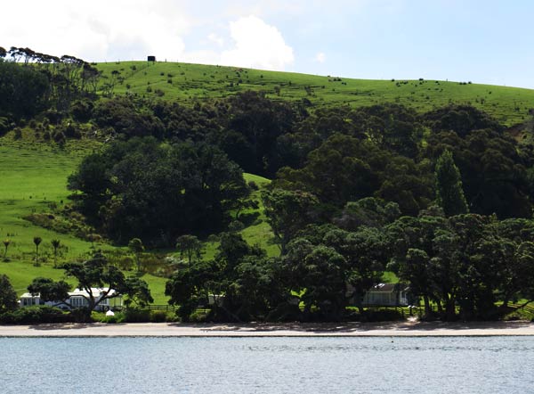
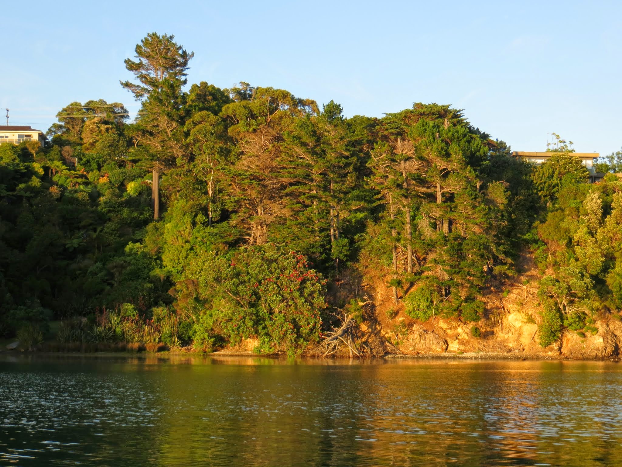
Sunny bay is at the base of a hill, covered with tall pines that towered over our boat. The water is still and green, and there’s a brown pebbly beach and a couple of unoccupied cabins onshore. There’s also a lot of bird life: swallows dart around the bay, gannets and gulls dive for fish in the main harbor, and lots of bird calls can be heard from shore. Kawau Island is one of those places where there’s a strong life force that gives it a magical air. –Cyndi
(You can click to enlarge and scroll through photos above.)
It was a long trip from Tutukaka to the north Hauraki Gulf/Kawau Island area. The day was hot and still, which was perfect for passing by the notoriously gusty Whangarei Heads area. We took turns on watch, huddling under the dodger for shade and giving ourselves an occasional spray with the cockpit hose to keep cool.
After we passed Whangarei Heads, Rich went below to nap, and I took over watch. At one point, I noticed a small sea bird hopping across the water. I’ve never seen this before and had to wait until he did it again before I believed my eyes. I wondered if Rich would believe me when I tried to describe this. I don’t think he quite did, but nature was kind and the bird repeated its performance when Rich was watching. He even managed to get it on camera.
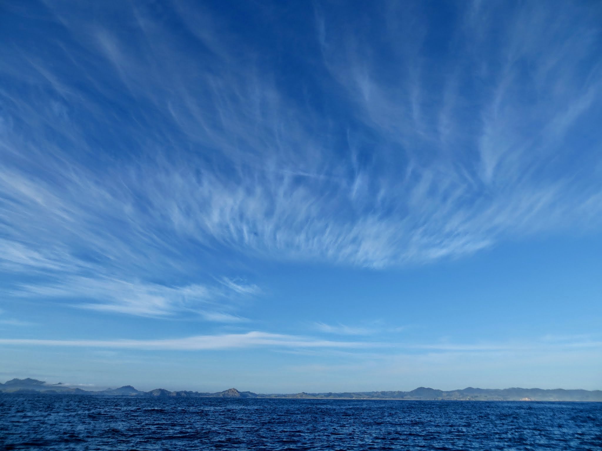
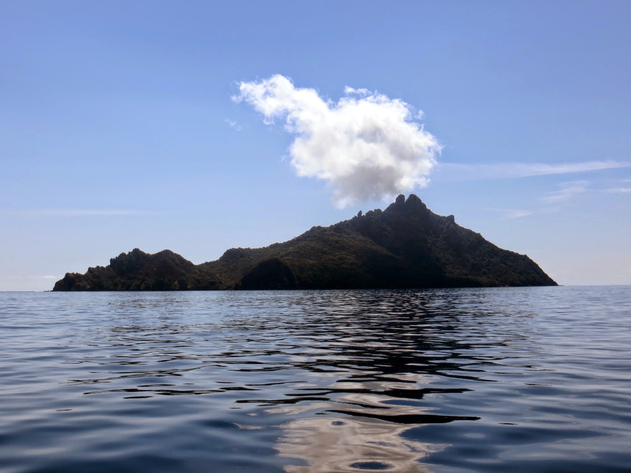
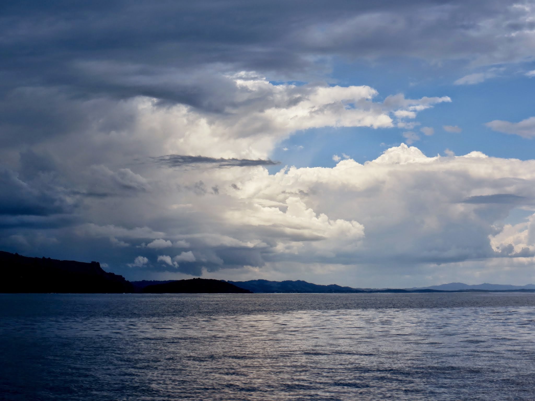
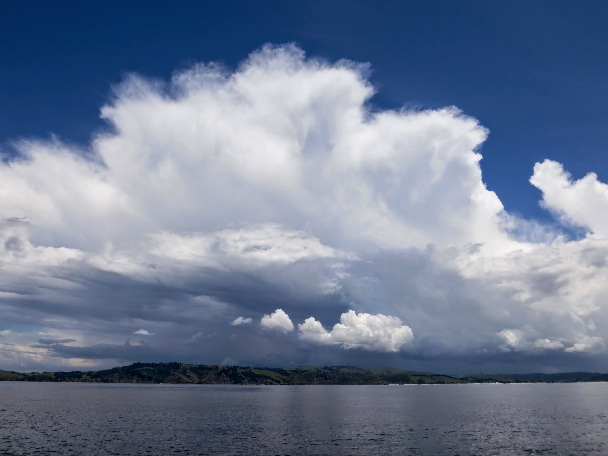
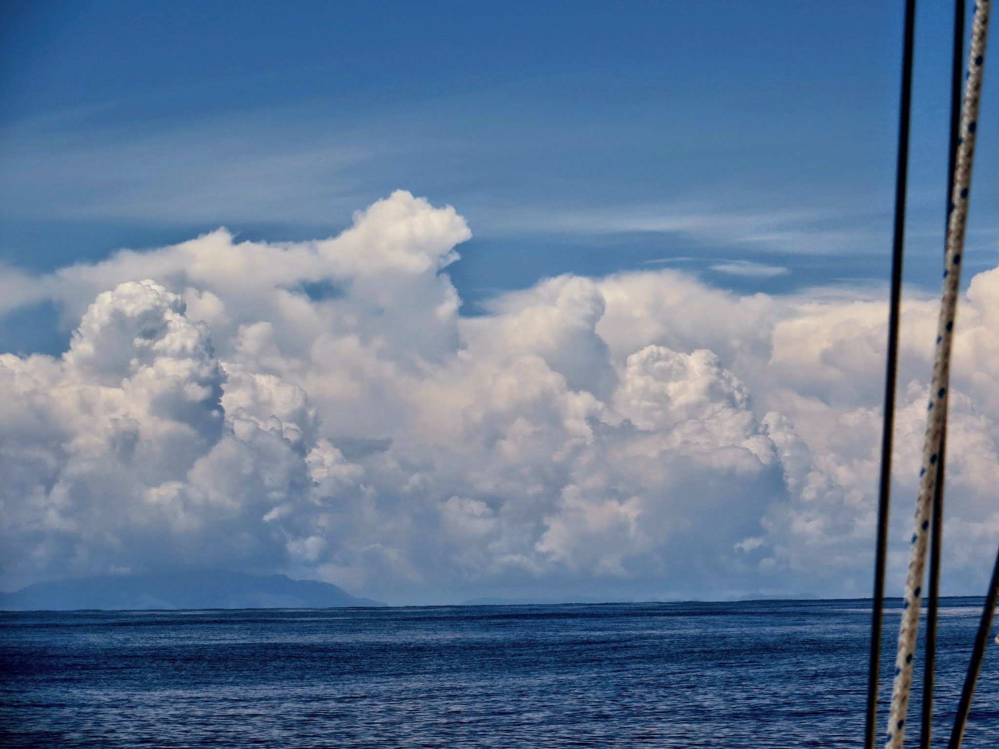
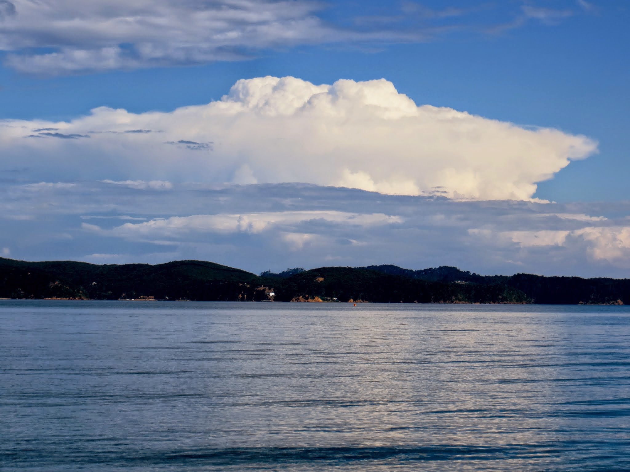
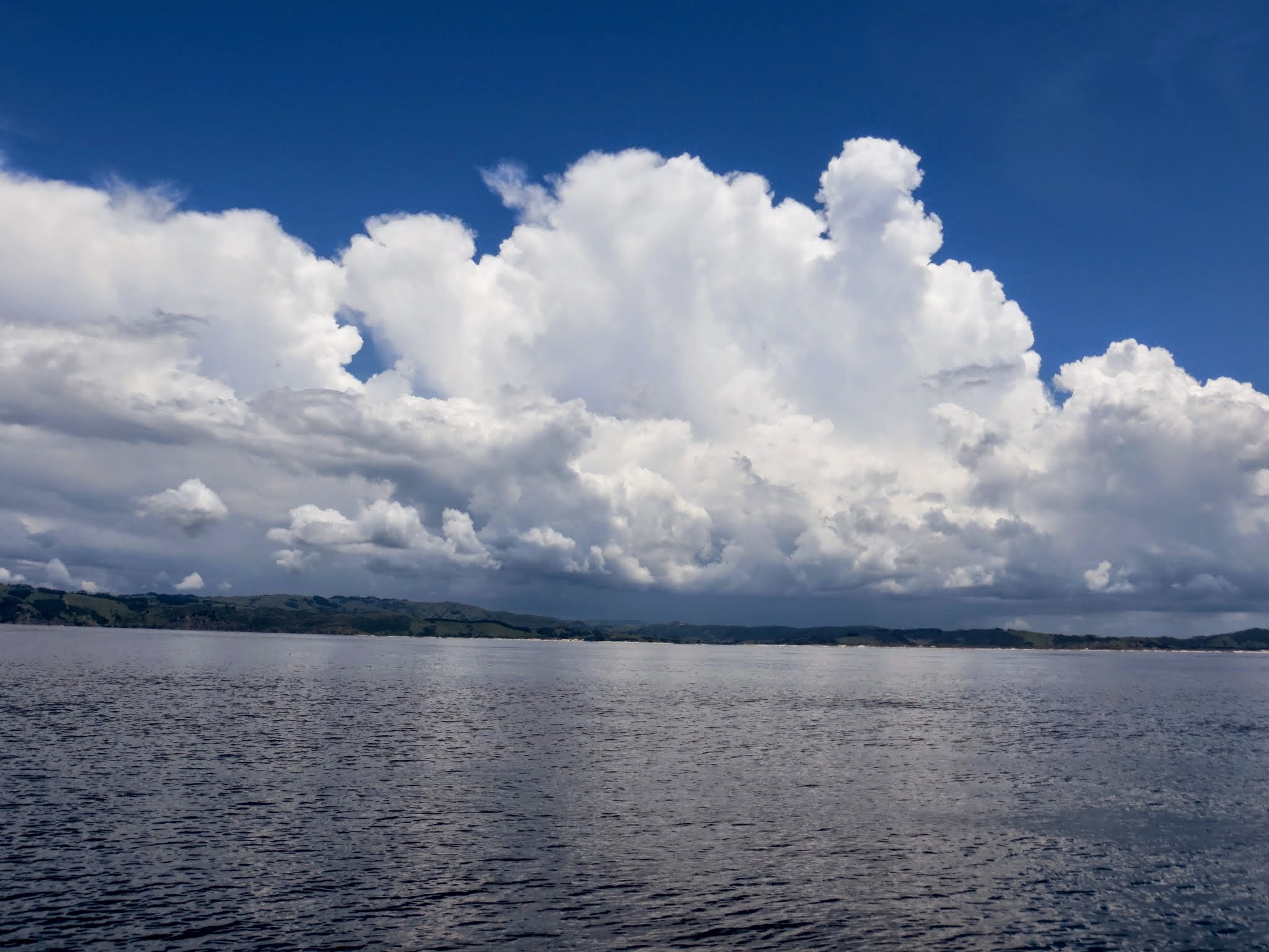
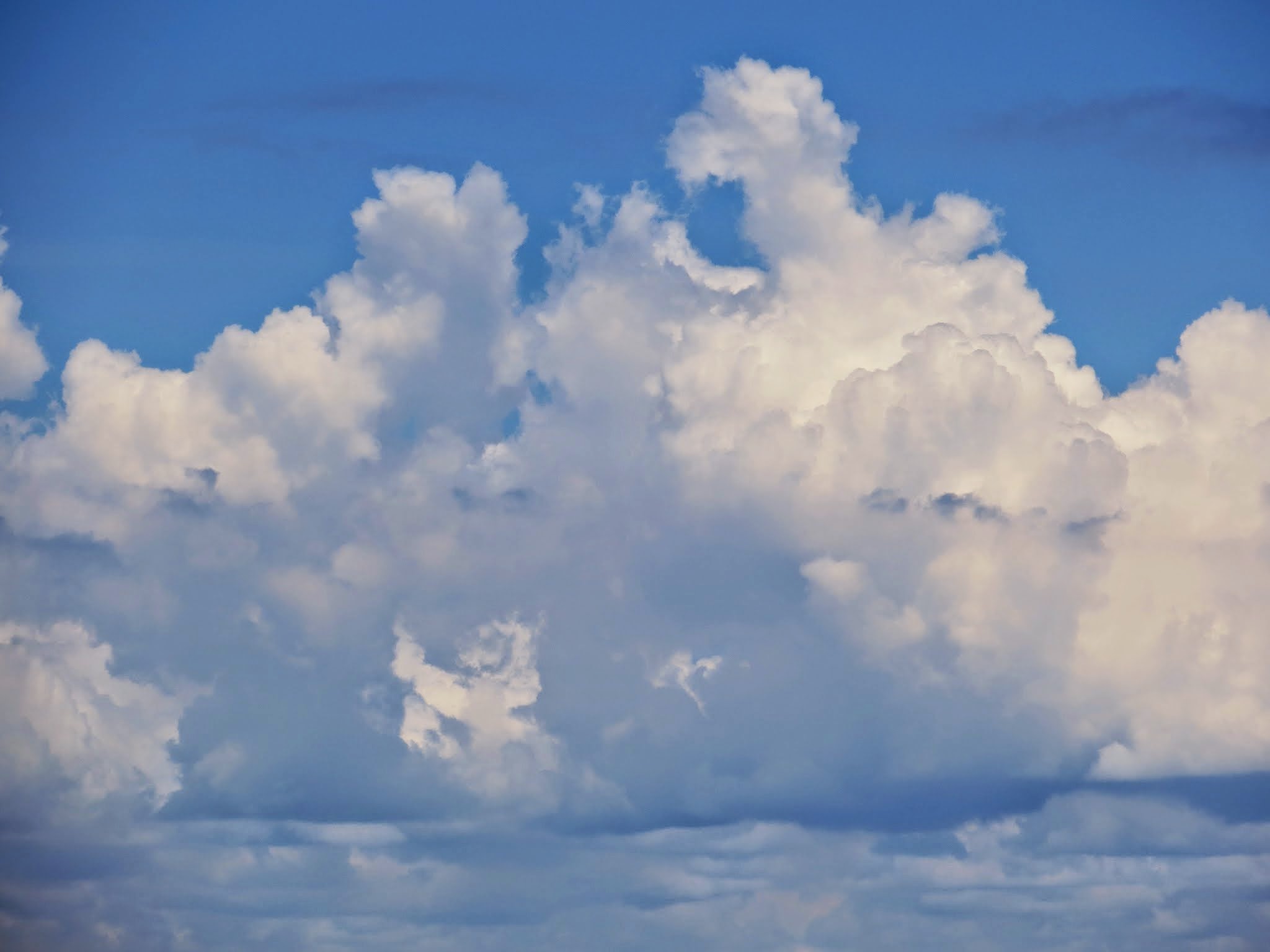
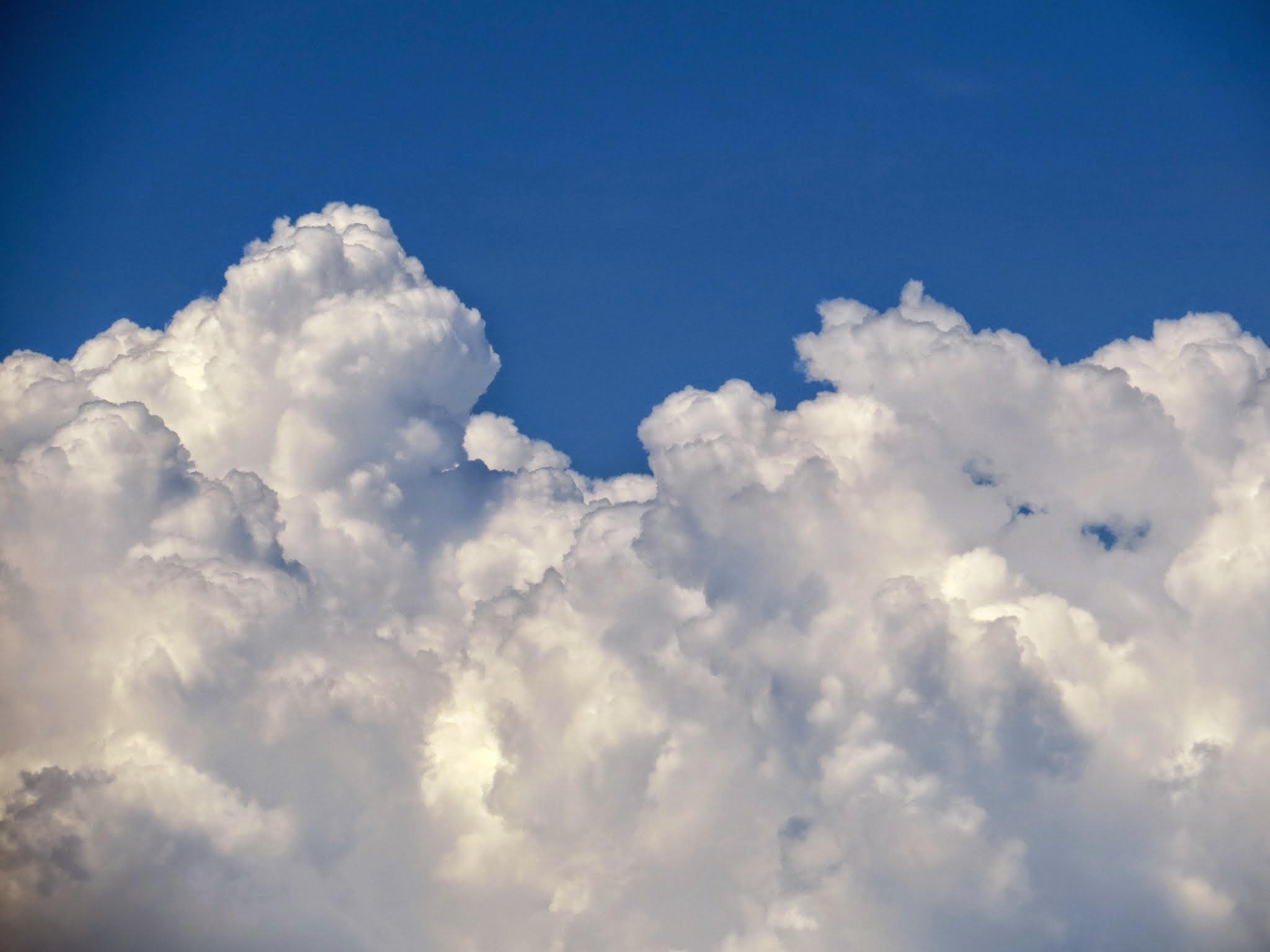
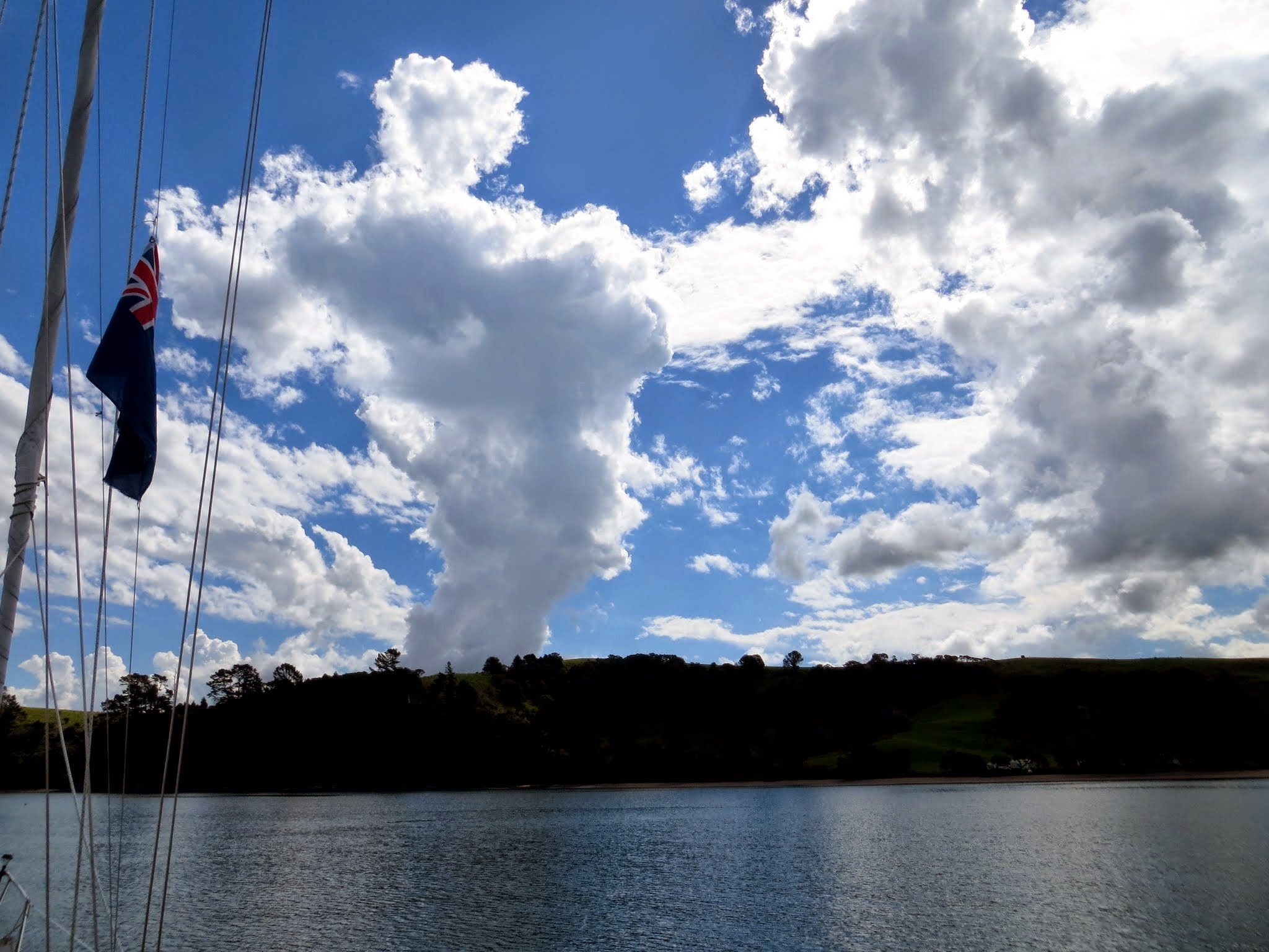
The other interesting thing that happened on my watch was appearance of building thunderheads over the mainland. They didn’t appear to be coming our way, but I kept an eye on them. The sky over us was blue and cloudless, the air still, but the clouds continued to build over the mainland as we continued south.
I had made a great plan for us to do some mainland cruising in the north Hauraki Gulf. This is the Matakana area of New Zealand, full of wineries and a terrific hike in on the Tawharanui Peninsula. As so often happens in cruising, those plans went to hell in a hand basket.
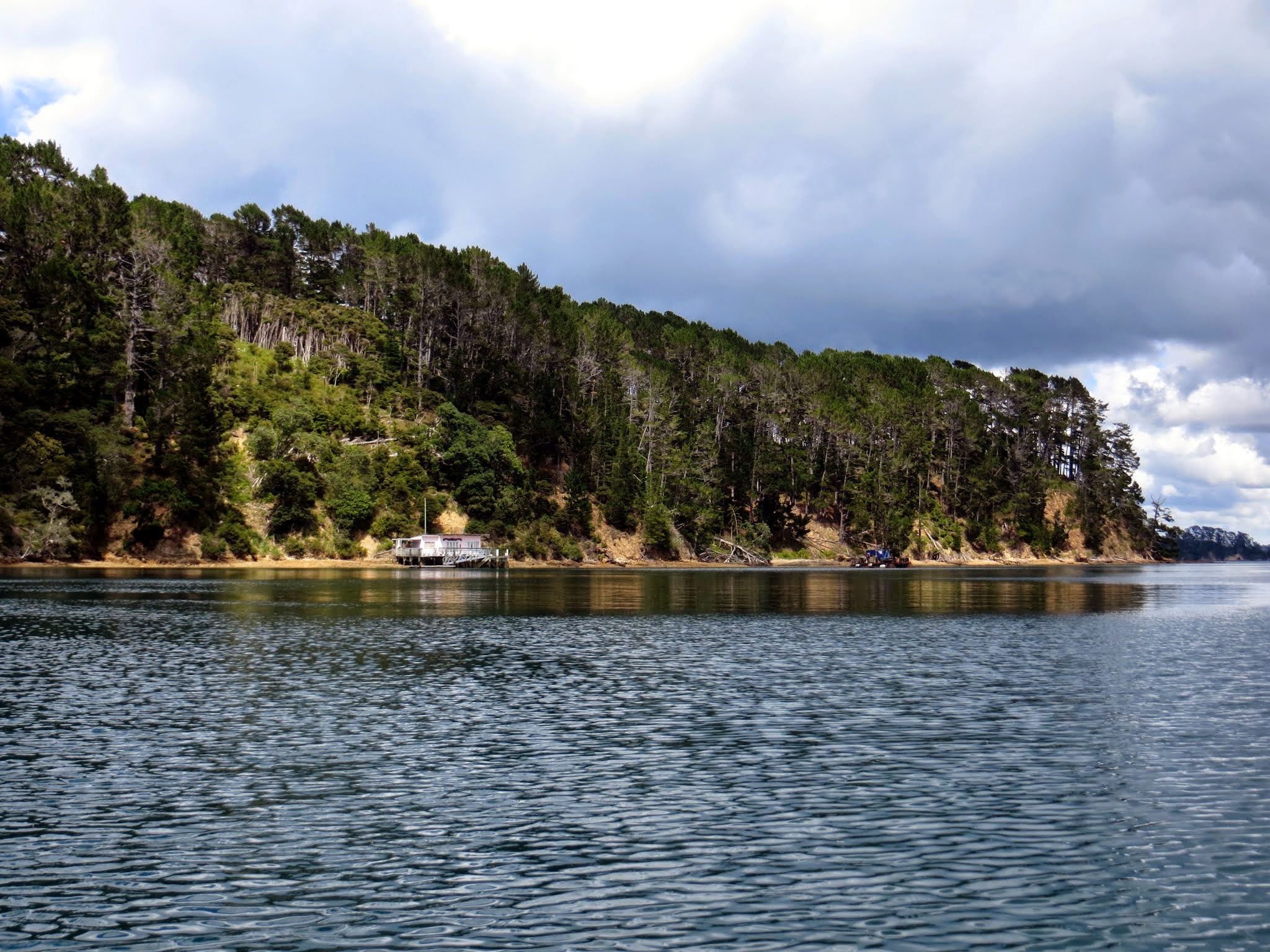
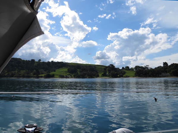
It started with a weather forecast. It seemed the winds would come up and blow right into our planned stop in Omaha Cove at Leigh; so we had to pass it by and continue on to the more protected Christian Bay. We dropped anchor and were greeted by darting swallows and right behind them, some of the clouds we’d been watching. An afternoon thunderstorm began shortly after that, but it didn’t last long.
We still had time for a hike. I hadn’t studied the area very carefully, and when I took a hard look at the map I was surprised to see how far away the Tawharanui Peninsula was! Even the nearby wineries I thought we’d visit were too far away. Oops. After kicking myself for not being better prepared, I realized it would be better to come back and explore the Matakana area by car.
With that, I informed Rich that the planned walk was being postponed for another trip (not that he even knew what the walk was as I hadn’t told him yet–sometimes it’s better to let it be a surprise). Instead, we’d drink some wine and enjoy the scenery from the cockpit, then head for Kawau Island in the morning. Again, since he hadn’t been expecting anything special, he wasn’t disappointed (or relieved might be the more accurate word).
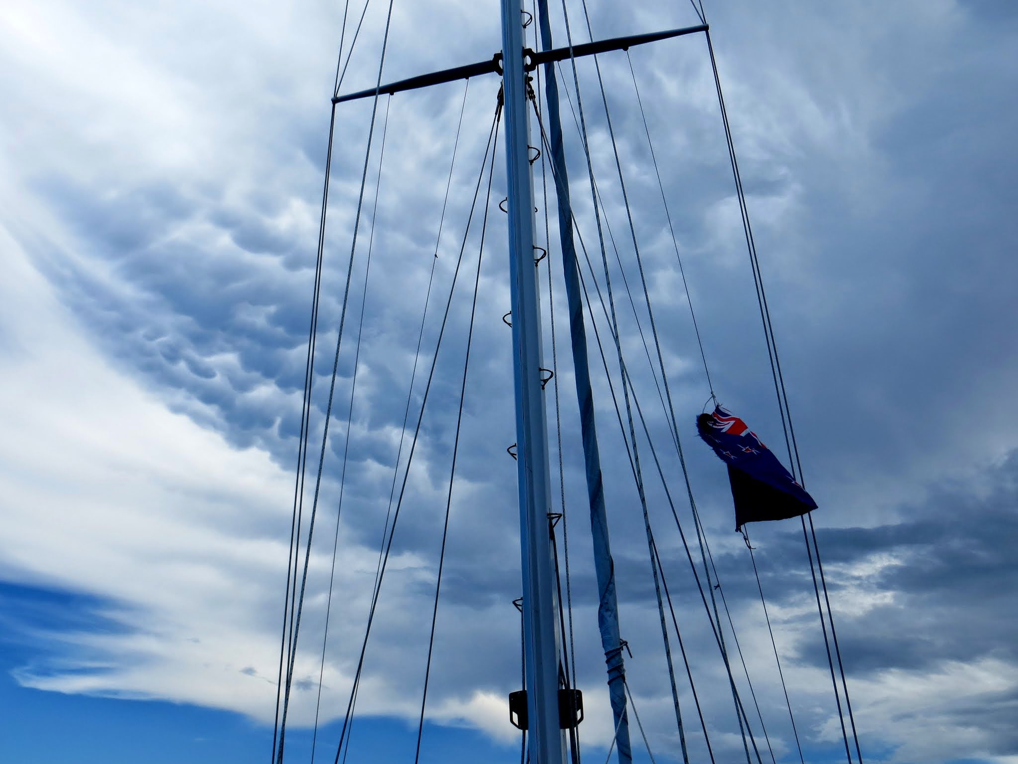
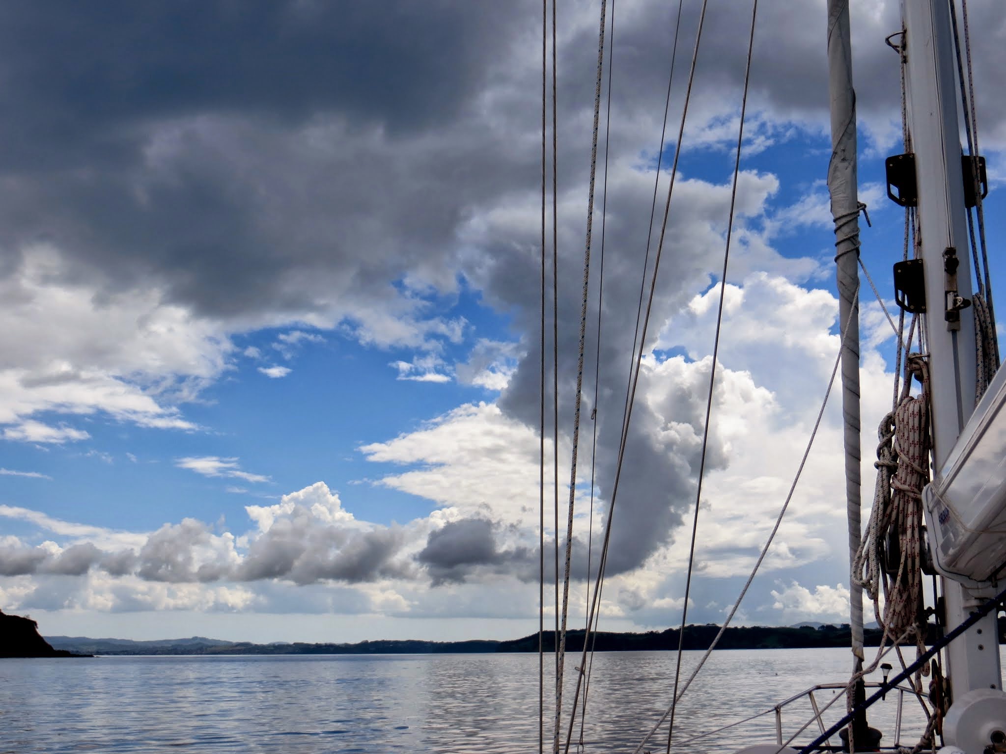
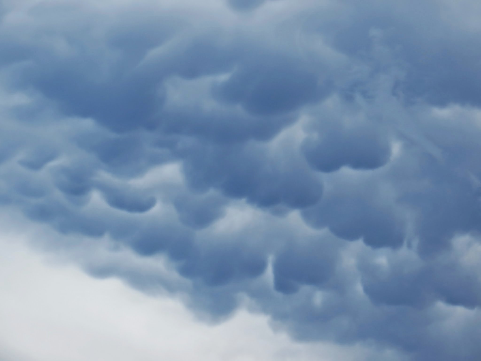
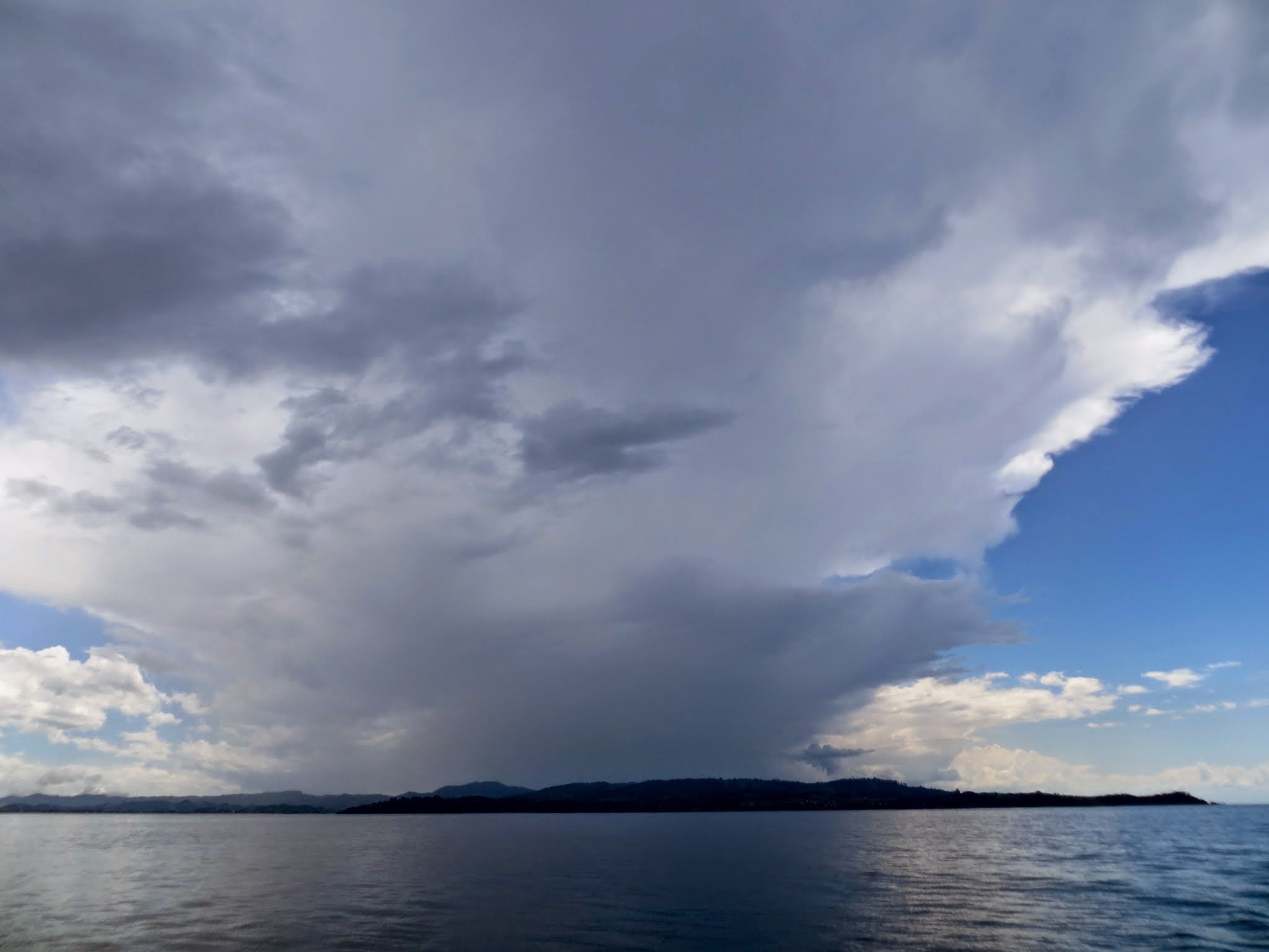
Below is a gallery of some of the fascinating (and somewhat worrisome) cloud displays we saw as we neared the north Hauraki Gulf area. –Cyndi
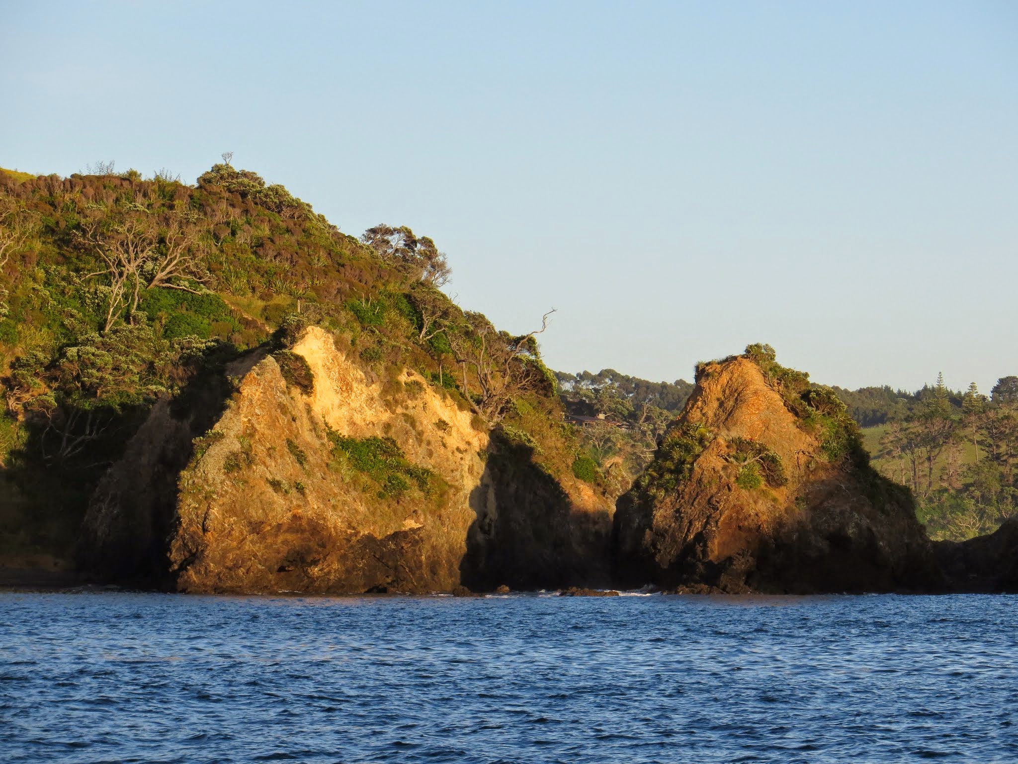
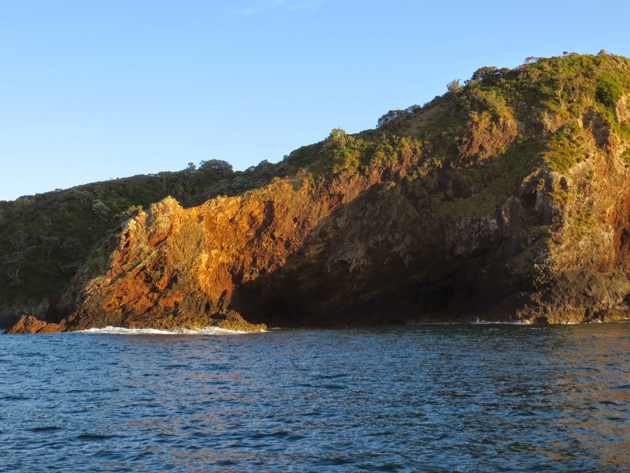
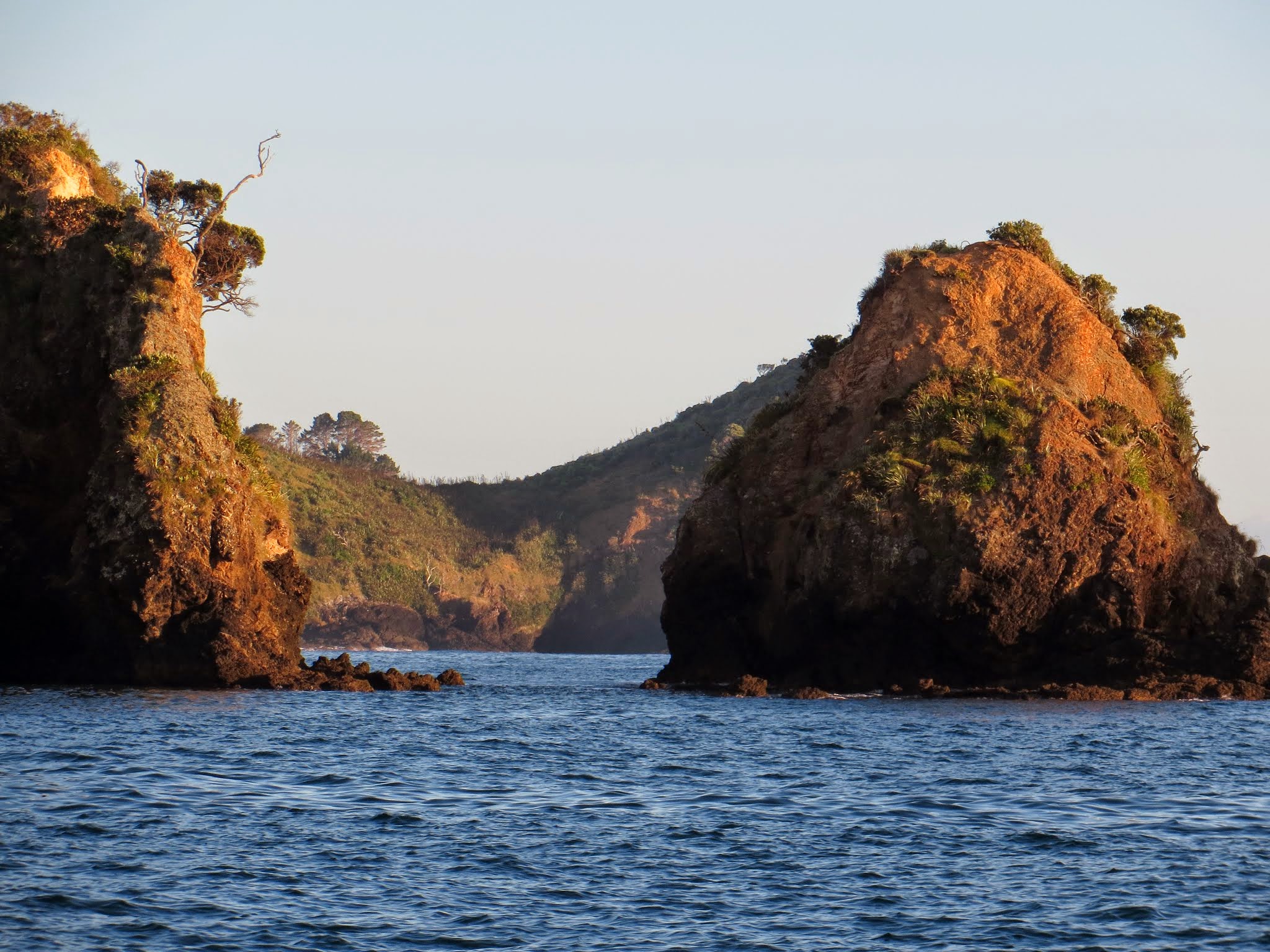
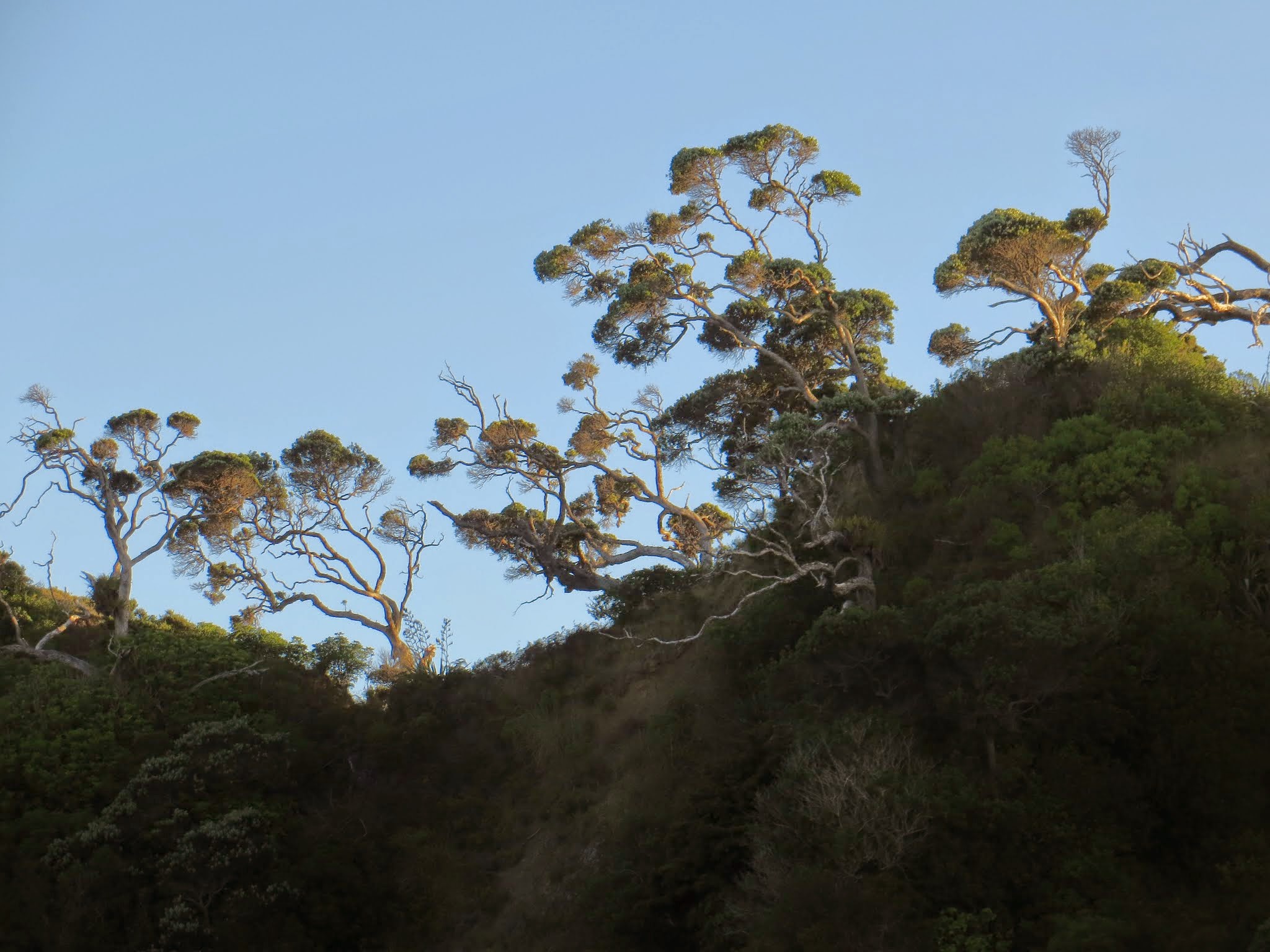
We woke up early so we could leave Tutukaka at high tide and make the day-long trip to the Hauraki Gulf outside of Auckland. The scene was striking: a rich golden light contrasted with sharp black shadows created by the low angle of the sun.
The morning was already fairly warm, the seas were calm, and we looked forward to a day of motoring down the New Zealand coast. –Cyndi
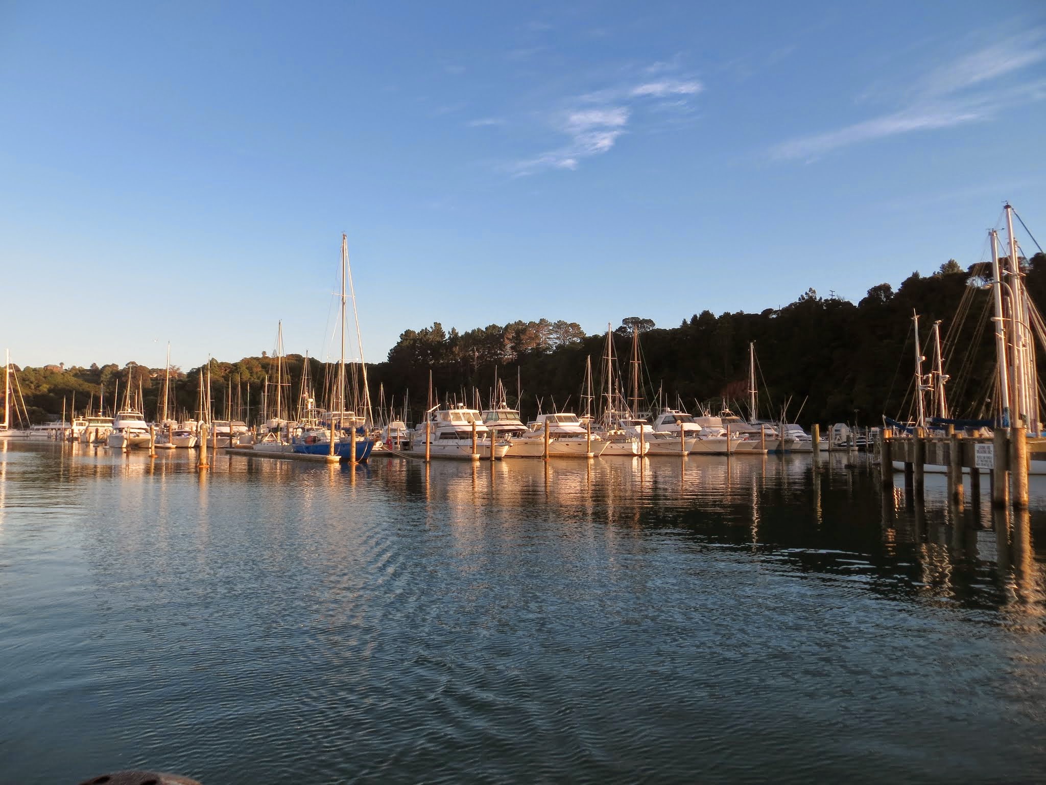
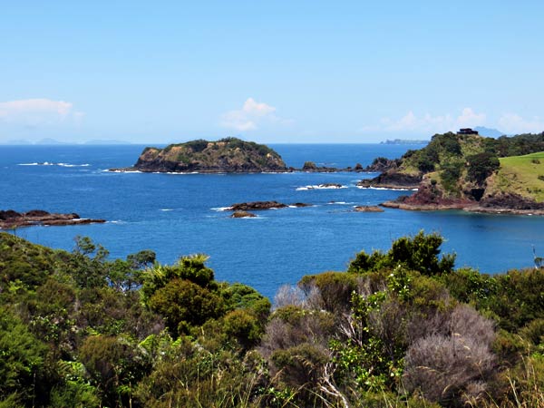
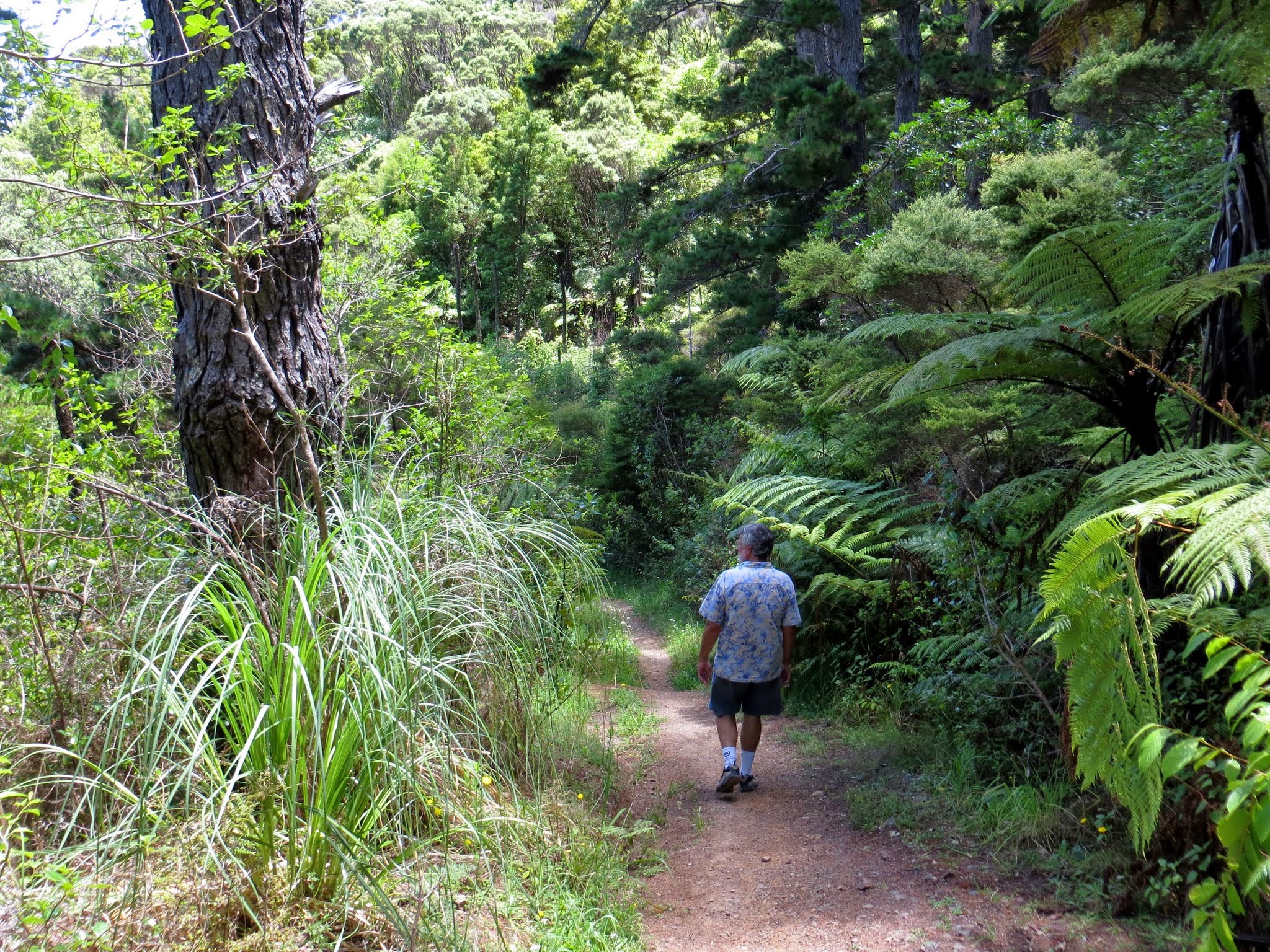
There’s a popular hike you can take to the lighthouse on Kukutauwhao Island. As the crow flies it’s only about a mile, but as the human walks there are so many hills that it feels a lot longer. If you actually want to make the final arduous climb to the lighthouse, you need to make sure to go (and return) at low tide when there’s an isthmus that joins the island to the mainland.
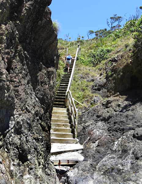
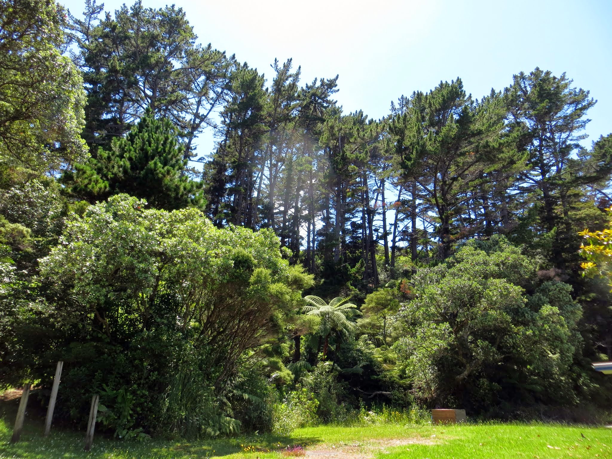
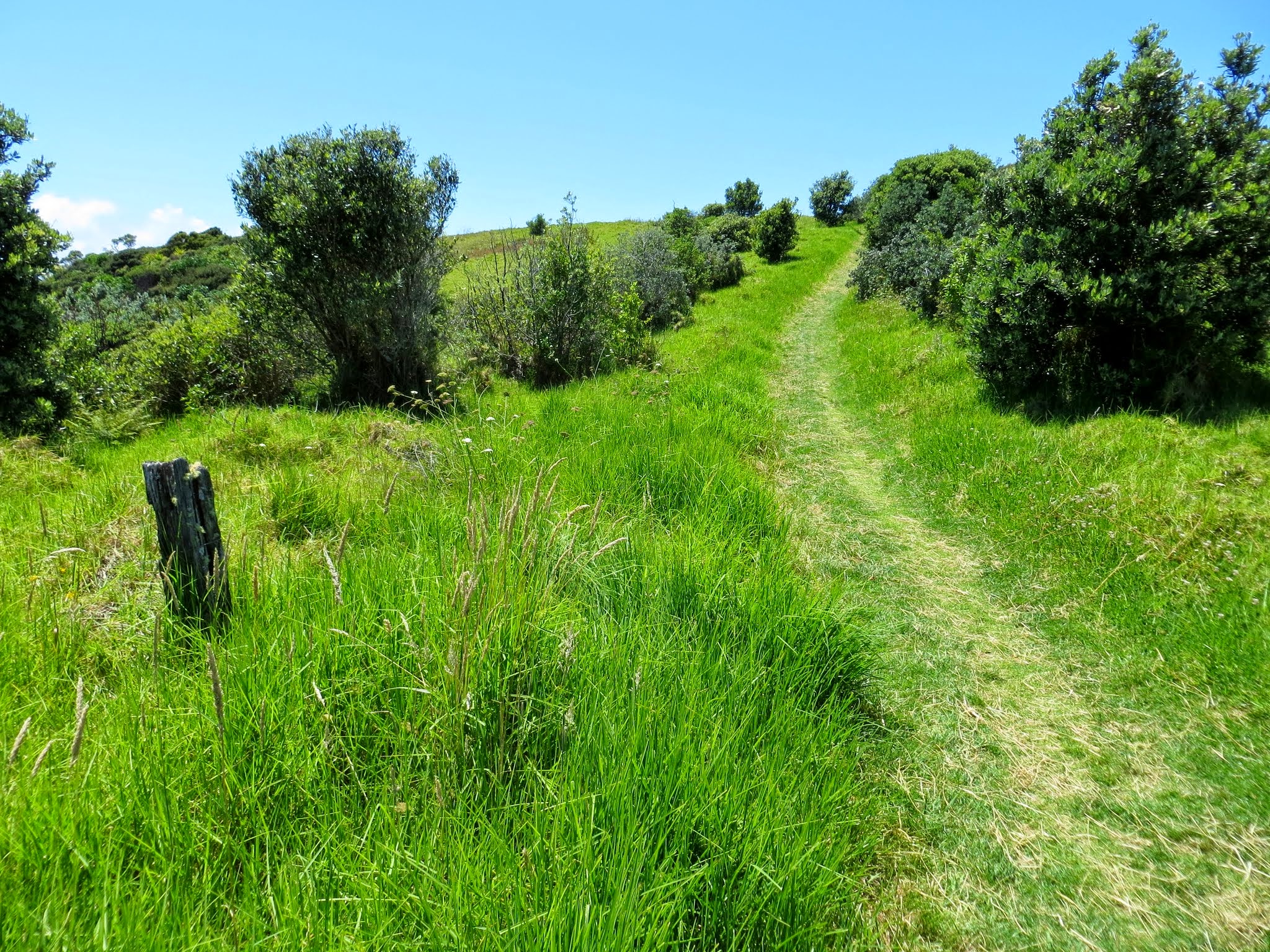
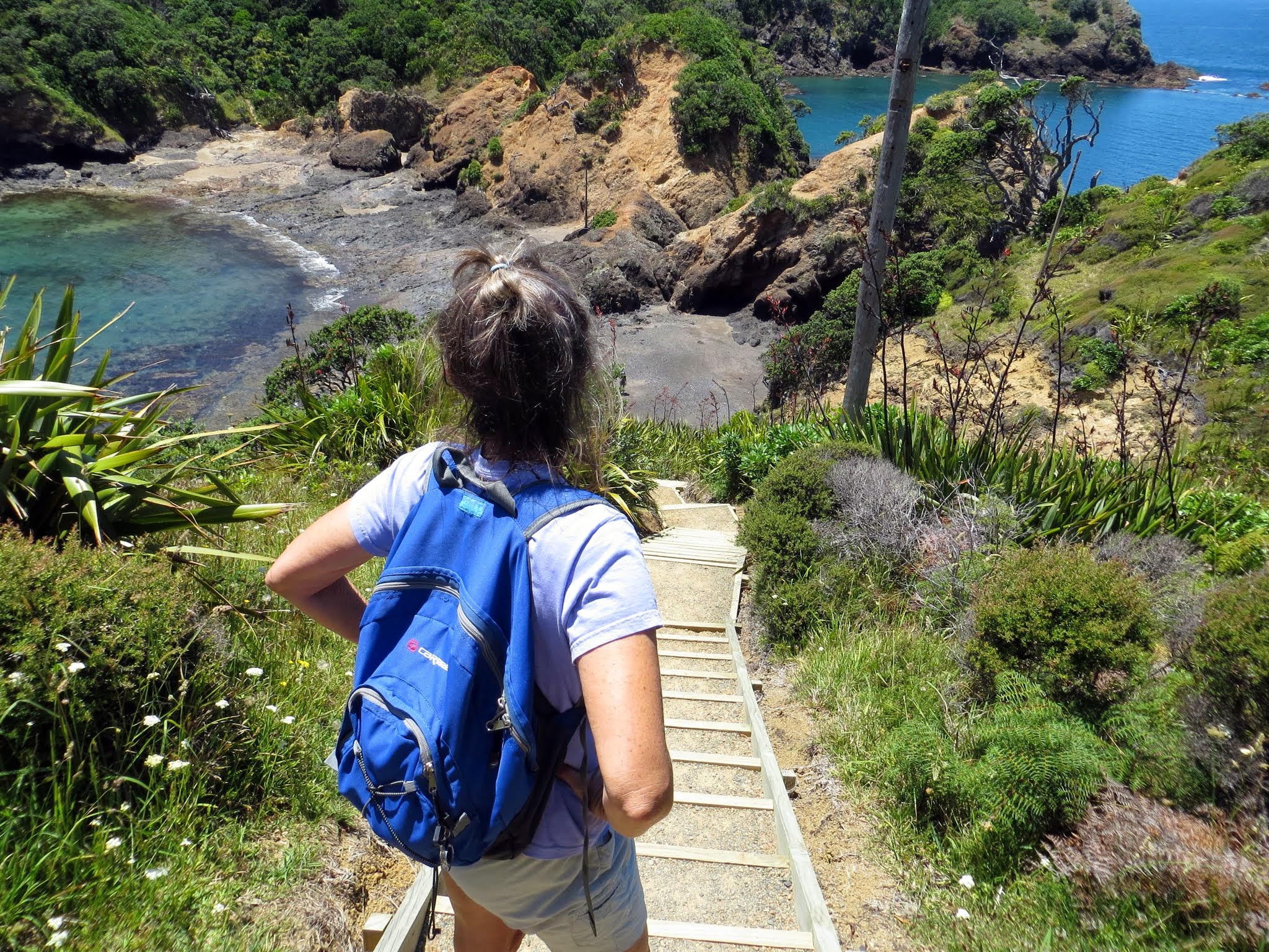
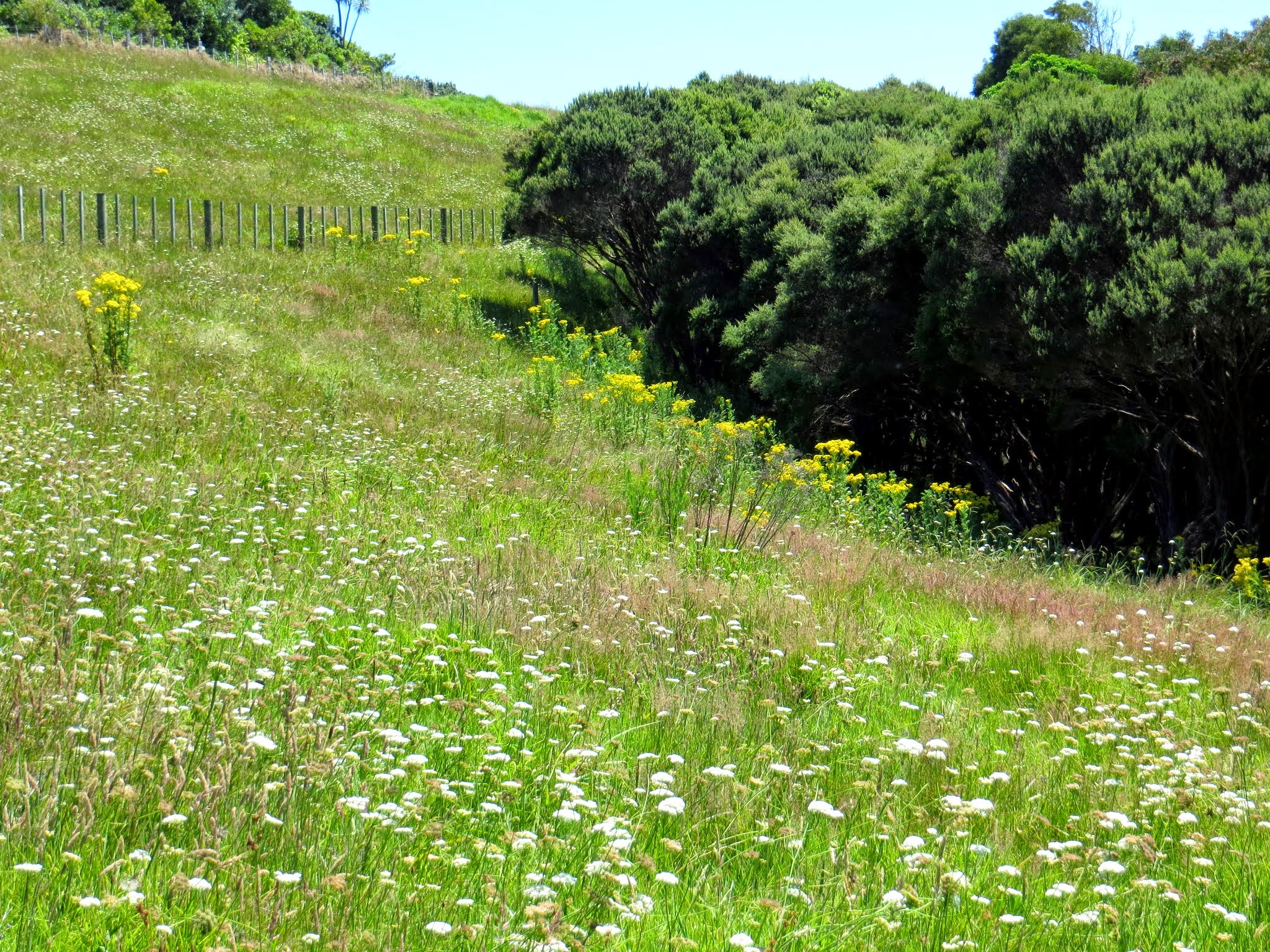
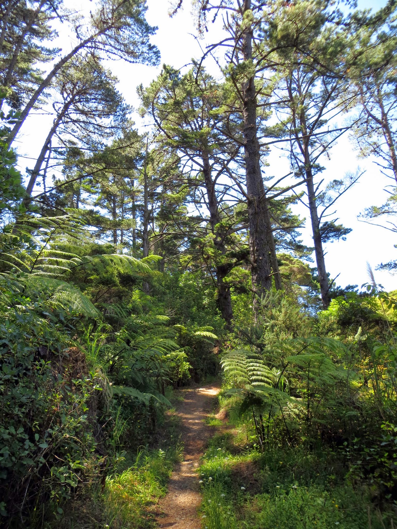
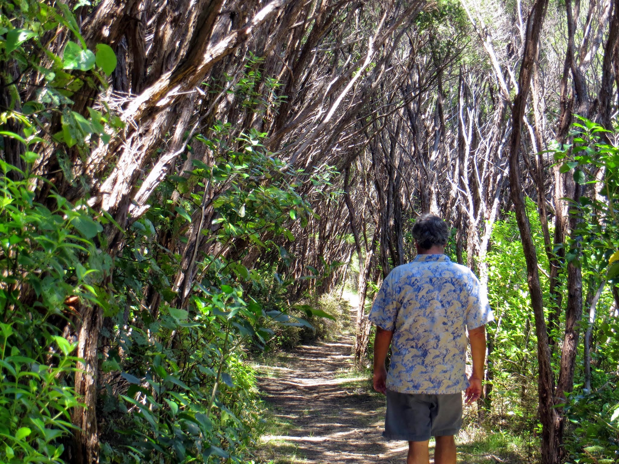
The path starts behind the marina and goes up a hill through beautiful pine and fern forest. Once you reach the top, you walk along a road for 1/4 of a mile or so to a small parking area, and that’s where you find the official path to the lighthouse. As you walk along the grassy hilltop you can enjoy some terrific coastal views before reaching a long series of stairs that go down isthmus below. It’s a beautiful sight and I think reason enough to take walk!
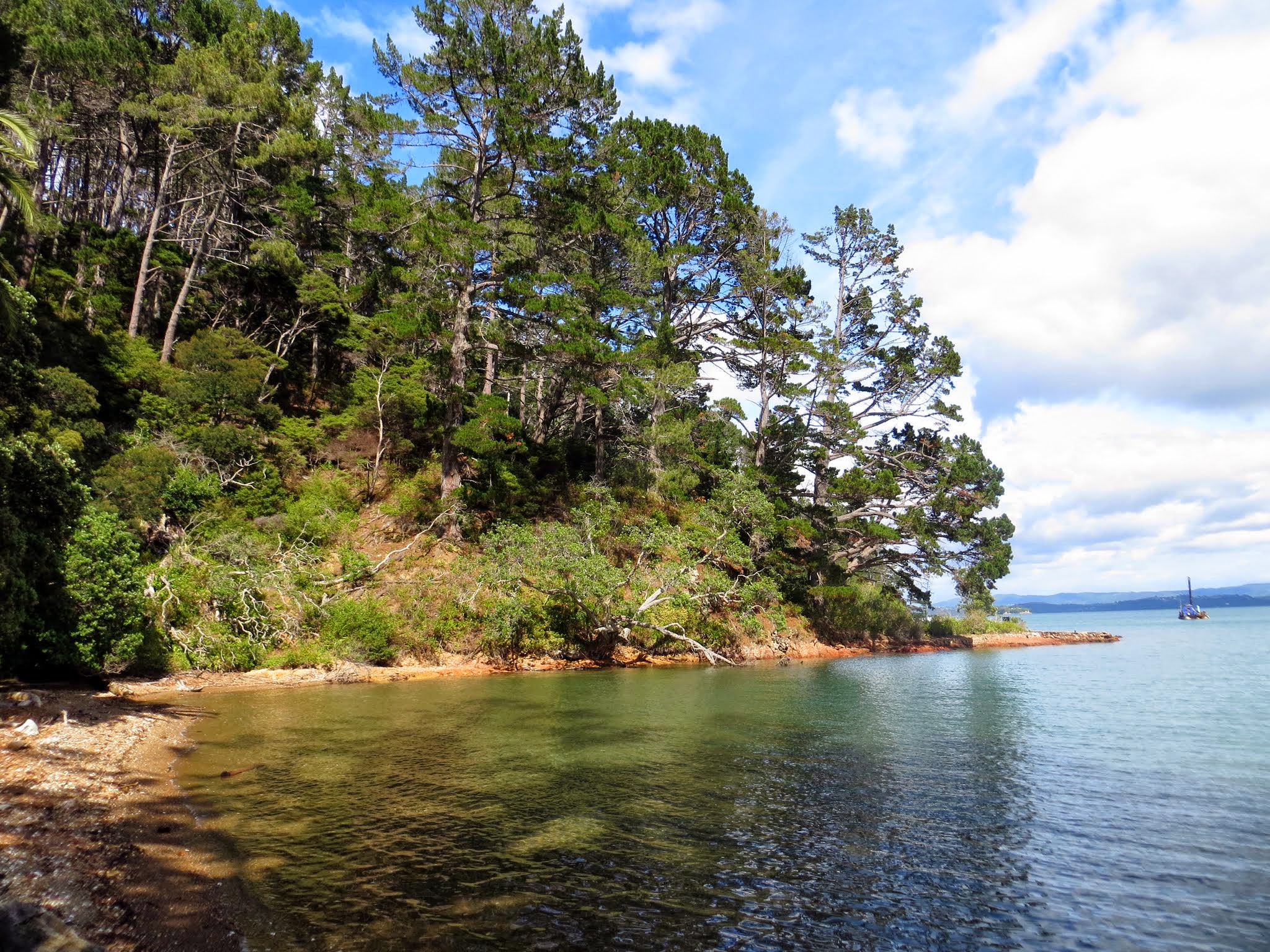
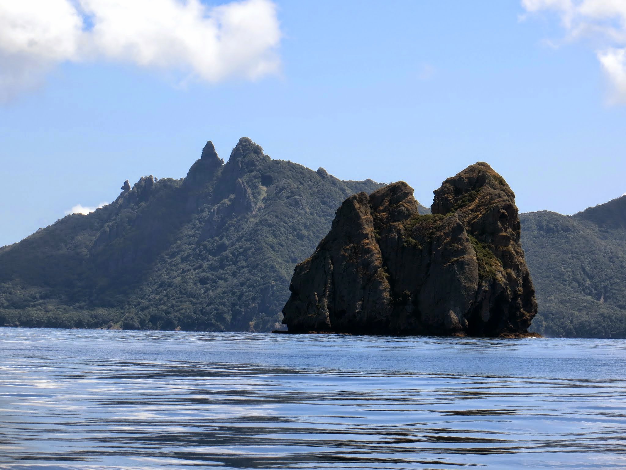
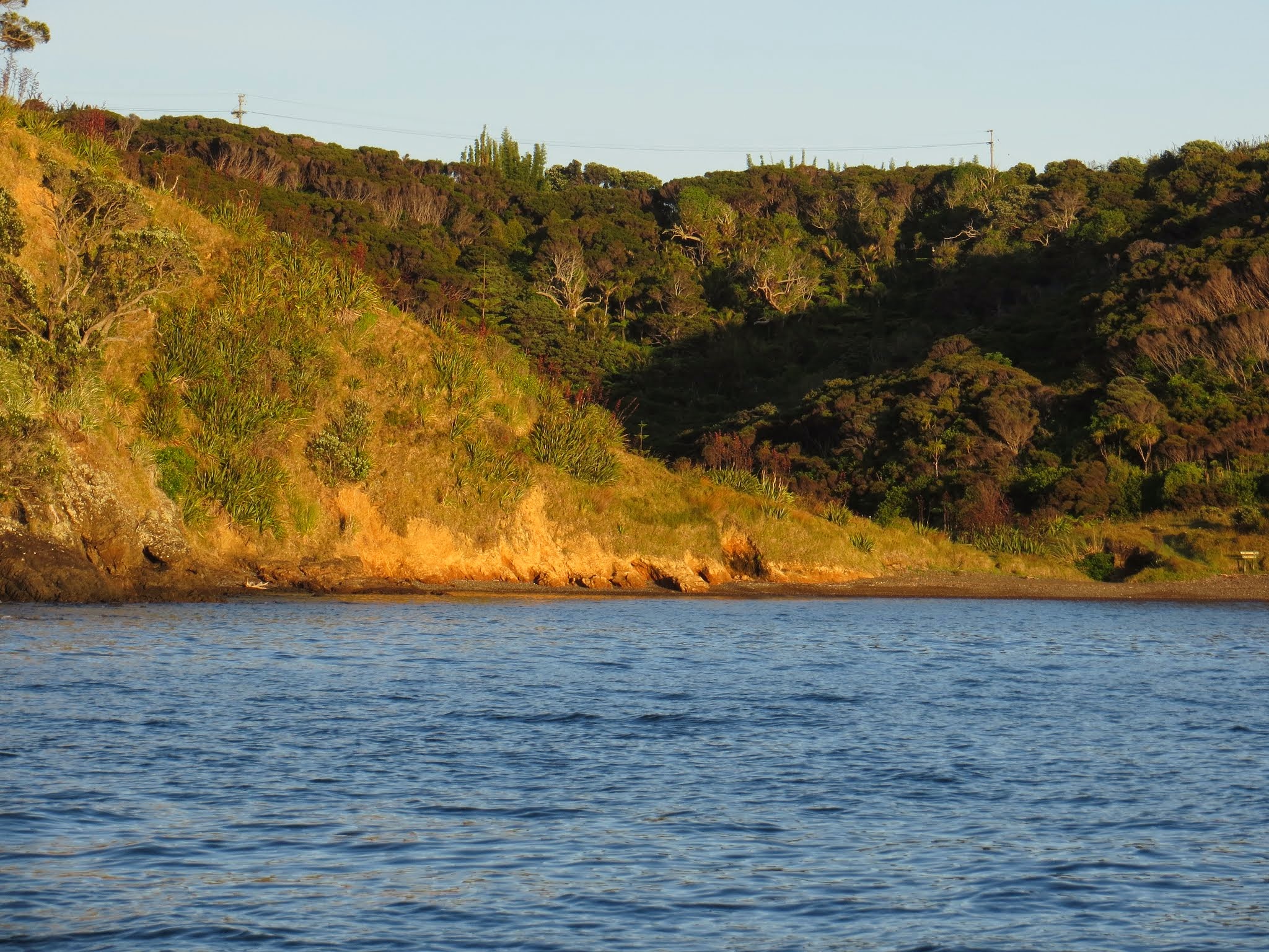
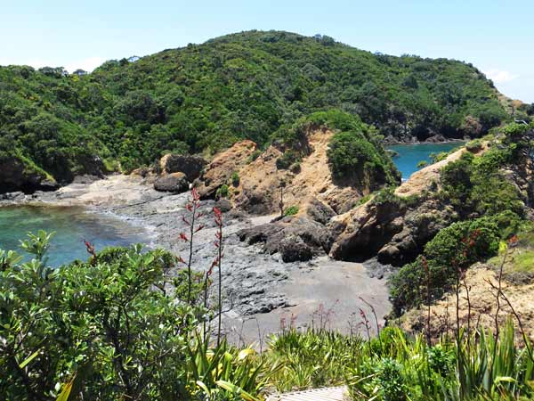
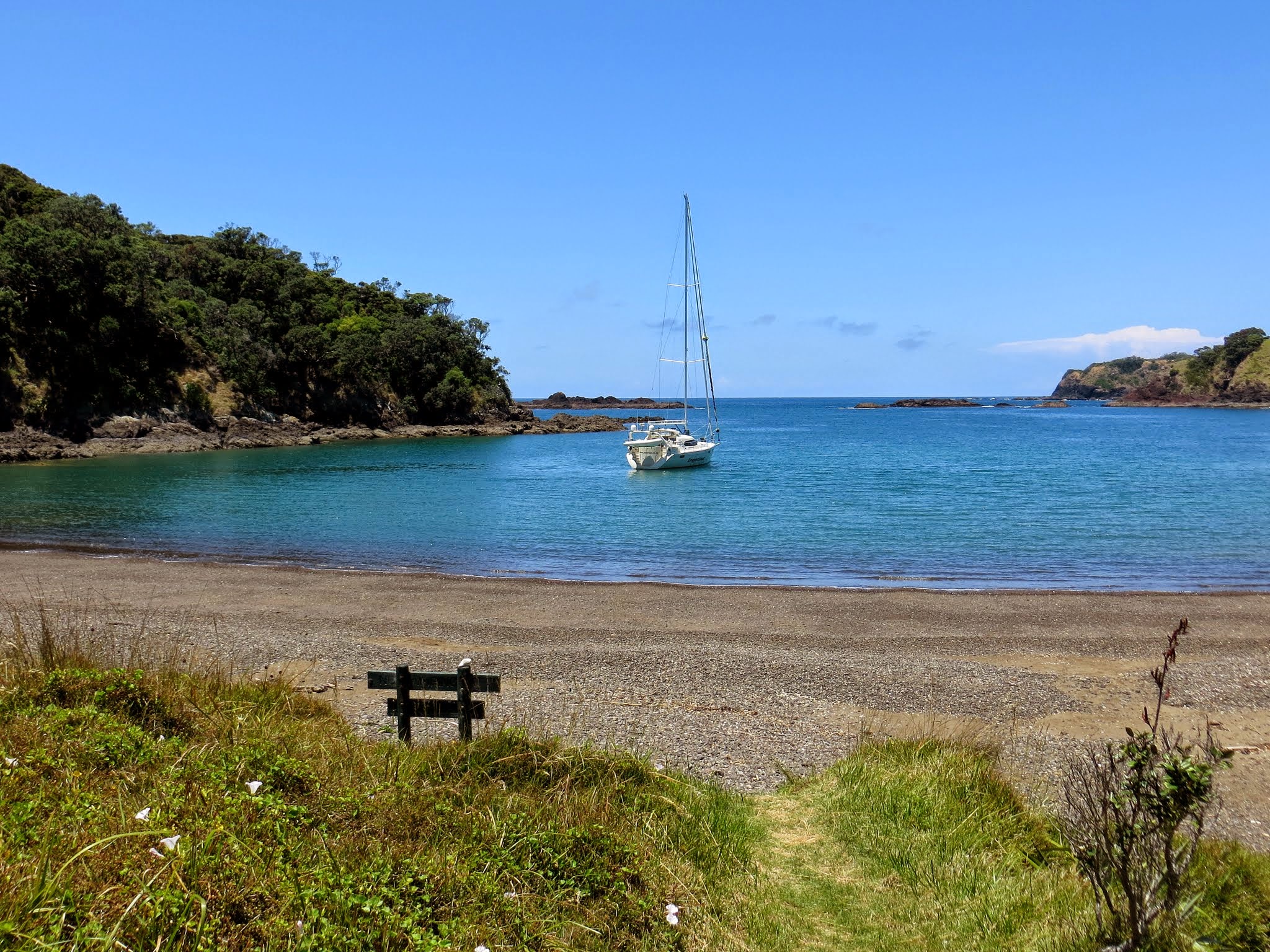
This isthmus has rocky hills that become small islands at high tide, and on one side is a beautiful rocky crescent bay with clear green water. As you walk along the base of the isthmus’s hills, you can find your way to a hidden cove on the other side.
When you get to the far end of the isthmus you will find yourself at the base of Kukutauwhao Island and see the steep path leading to the lighthouse, perhaps along with the frequent sight of a couple arguing about whether or not to make the climb. Rich and I didn’t argue: neither one of us felt the need to put ourselves through that. It would be bad enough just getting back up those stairs we came down earlier!
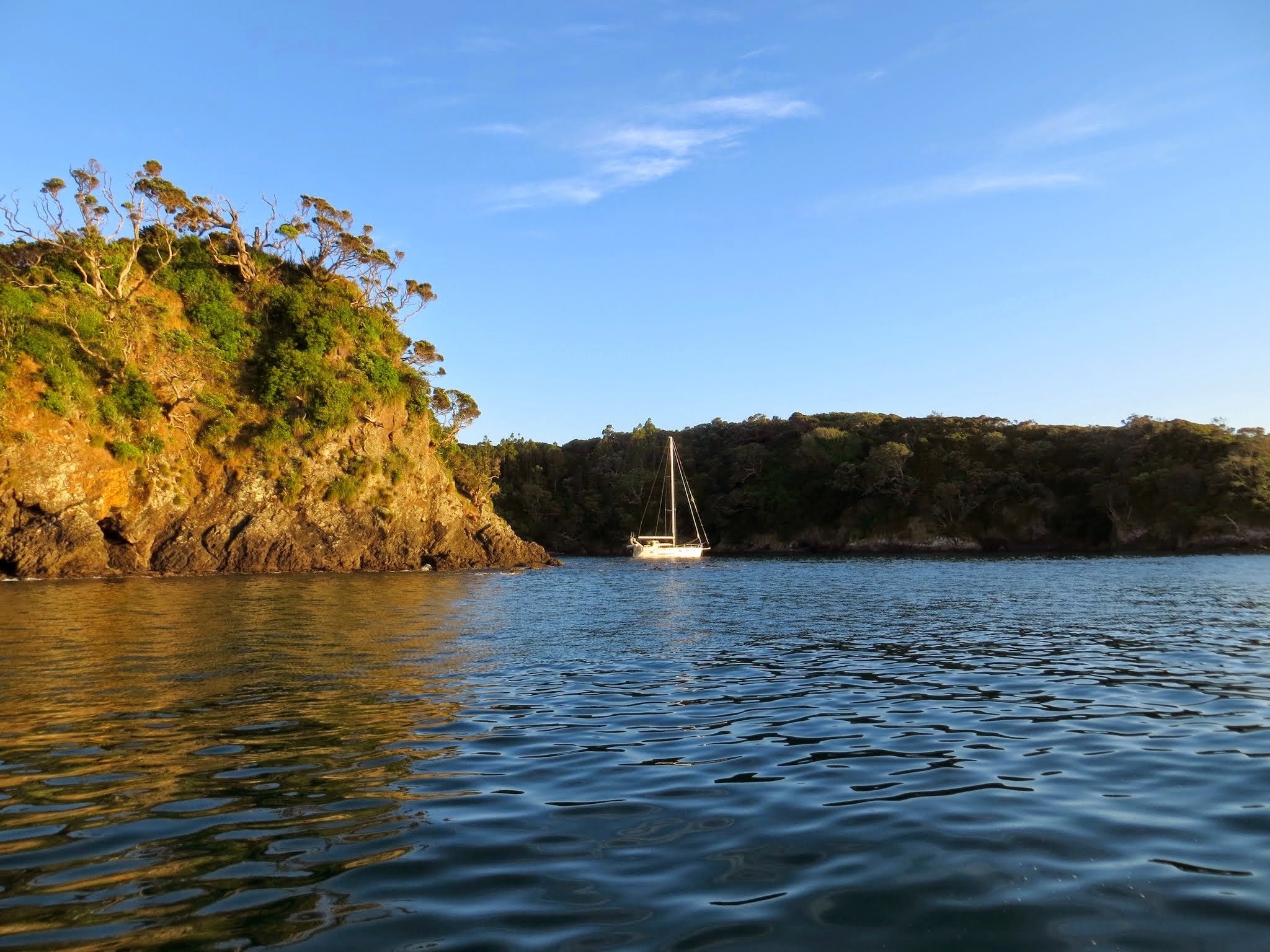
If you have energy after climbing back up the 80 million stairs, there’s a small side path down to a pretty bay nestled in the rocky coastline. If you come to Tutukaka by boat and wish to anchor, there are two larger bays on the south side of the channel (one of which is for shallow-draft boats only). On the north side is this nice little spot where the boat in the picture is sitting pretty.
The gallery above shows our favorite pictures from the hike; so as always click any to enlarge and scroll. For Rich’s artistic representation if the stair climb, click here; then view the video portion of the post. –Cyndi