
June 13, 2023
The Cruising Guide to Indonesia says this about where we’re anchored:
“The (bay we’re in) is much too shallow to enter.”
Basically, impossible.
And when you look at a satellite image, I’d agree…
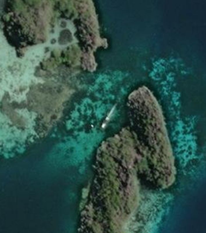
But this is one of the very few cases we’ve found where the charts (Navionics and Cmaps) are more accurate than the satellite images…
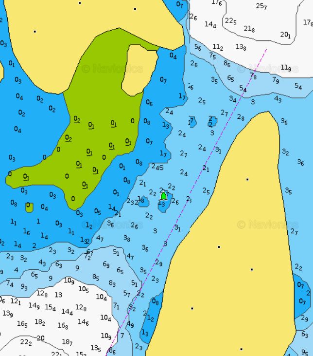
Above is a screenshot of the Navionics chart. C-maps is much the same. Note that if you follow the line into the bay, you’d hit one or two bommies. We had to weave around them a bit. There’s also an overhead wire that, fortunately, was tall enough for us to get under (we didn’t see it until we were passed it). It was a little nerve-racking getting in but so worth it.
It’s impossibly beautiful here! Here’s a 30 second clip from the air.
–Rich


