
April 21, 2016
After only a day, we’d gotten attached to our Mutton Cove anchorage with its baby fur seals; so it was with some sadness we headed on the next morning. As much as we’d like to slow down sometimes, weather always has the final say. (Below, an interactive map of the next segment of the park: Totaranui Beach to Awaroa Bay.)
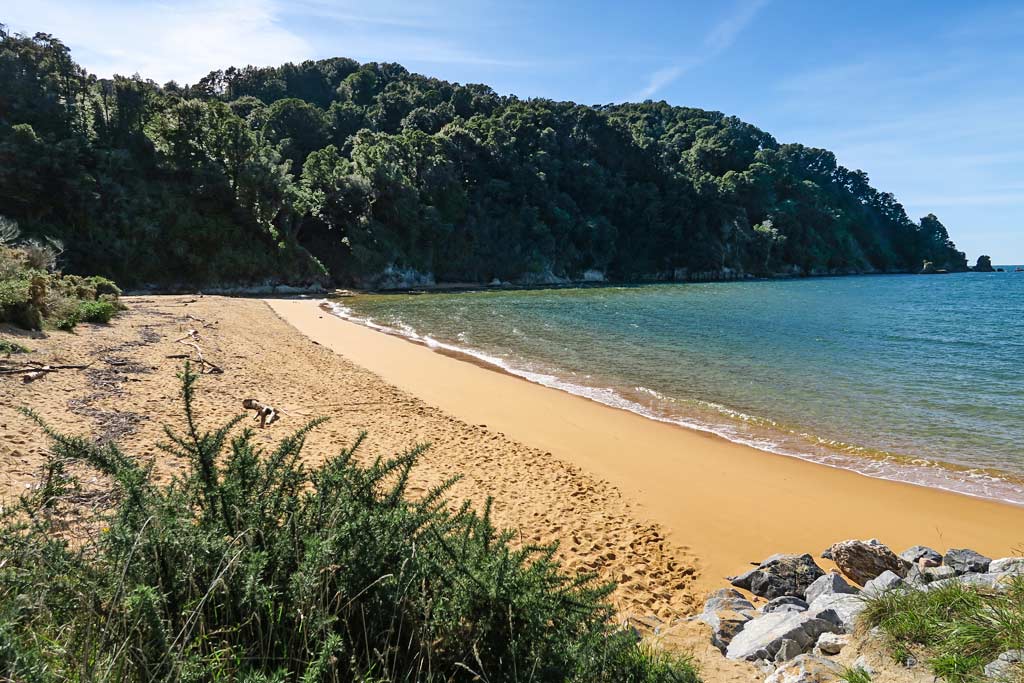
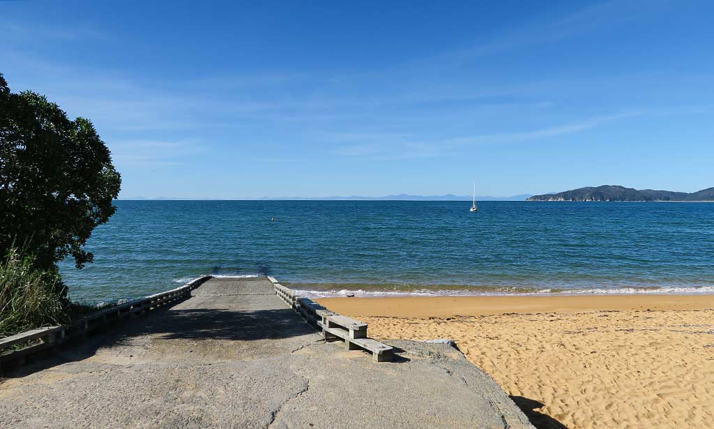
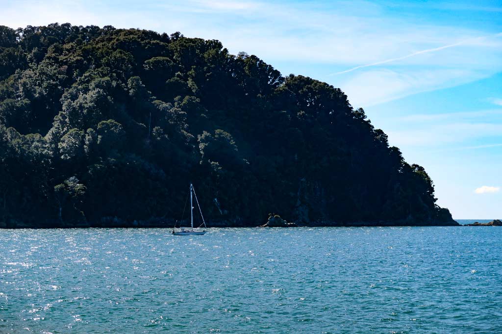
Our next stop was a bay called Totaranui. When we rounded the point, I was reminded a lot of Mutton Cove where we’d just been. We anchored beside a tree-covered headland with a rocky shore, while a long stretch of golden-sand beach and forested hills lay ahead of us. This time, though, we were able to take our dinghy up a large cement ramp instead of pulling it up the beach.
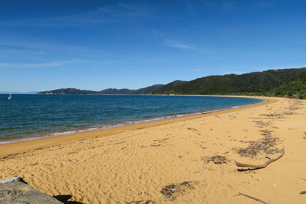
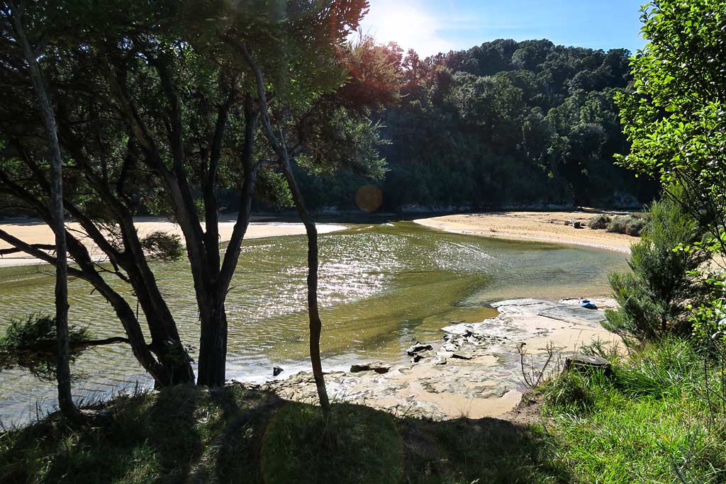
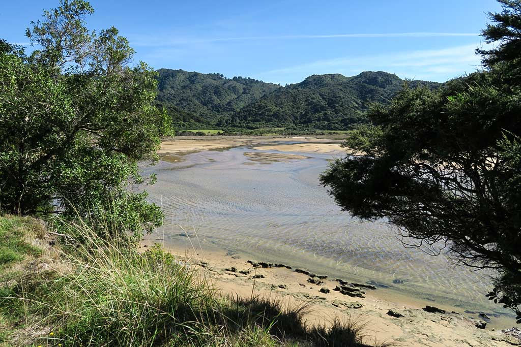
We parked our dinghy in the grass and took in the beach. It was pretty, but with more sea debris and coarser sand, not as nice as the beaches at Mutton Cove. Behind the beach was a lagoon and estuary which was interesting. This area also had a rather large campground that accommodated motor homes as well as the tent campers. It was a nice looking and well manicured place, but it felt more like a busy campground than like being out in nature.
In a previous post, memory did not serve me well and I confused this place with the Mutton Cove camping area. In fact, it is the Totaranui campground that has the national park headquarters building that so desperately needs a cafe. Even in the off season, a lot of people were congregated here. So I’ll repeat my previous request:
Dear New Zealand: Please add a snack bar to the Totaranui campground. There are more than enough visitors to make it profitable, and we’d all love some coffee and a nibble. In fact, this place could easily support a cafe or restaurant.
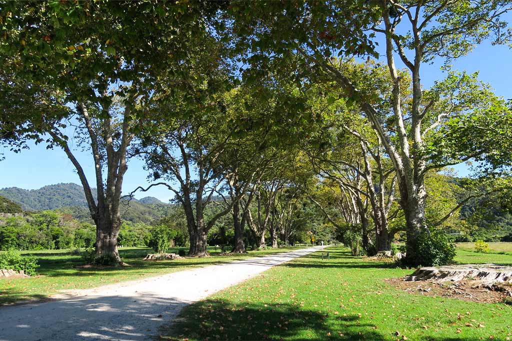
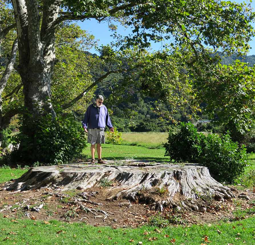
In all, this bay and its beach were not our favorite, but it did have one striking feature: the road leading in to the campground was lined with beautiful big sycamore trees. Big as they were, we noticed the remains of some massive trunks between them. I don’t know what kind of trees those were or why they’d been cut down, but they must have been huge. What a shame they’re gone.
An easterly wind came up while we were ashore, confirming our plan to move someplace nicer and more protected. We that, we headed down the coast a mile or so. We noticed after Skinner Point, an area of rocks that divides the beaches, the sand became noticeably lighter in Goat and Waiharakeke Bays. Below us stretched an arm of land that created the north-facing bay with beautiful Awaroa Beach. Ducking behind the headland there would offer us a protected anchorage, but we decided first to go check out a spot around the corner. –Cyndi


