
February 5, 2014
We woke up early, settling into the cockpit to have our coffee and enjoy the damp grassy smell of Motutapu. Today this was the island we’d visit. We planned to dinghy over to Islington Bay Wharf, close to where Rangitoto and Motutapu are joined, then hike towards an area called Home Bay. Below, a map.
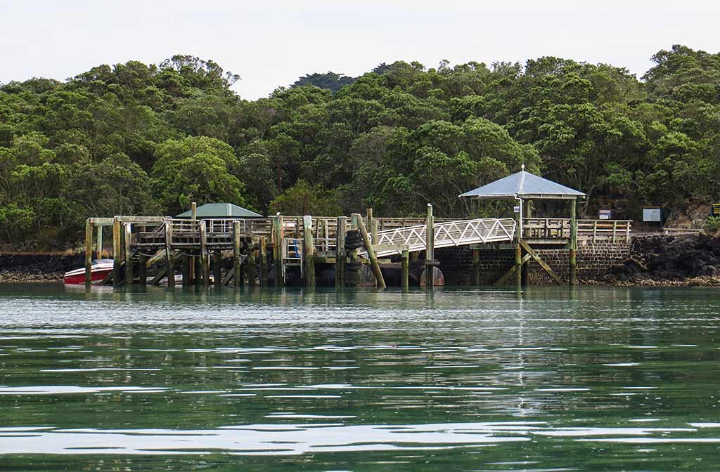
After motoring over, we tied our dinghy to the wharf and climbed a ladder up to the dock. We were actually on Rangitoto but only a short distance from the causeway to Motutapu. (Click to enlarge/scroll through photo galleries.)
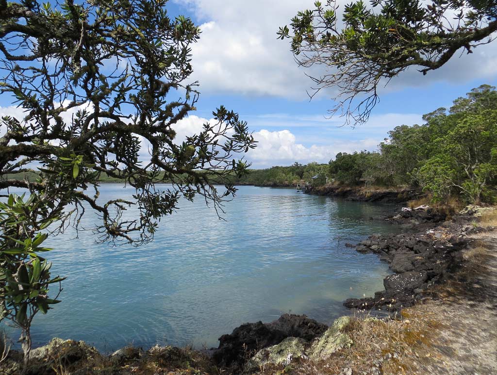
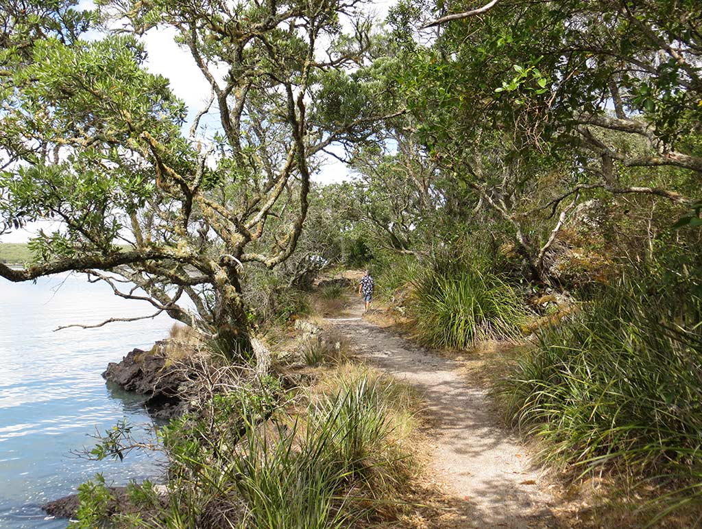
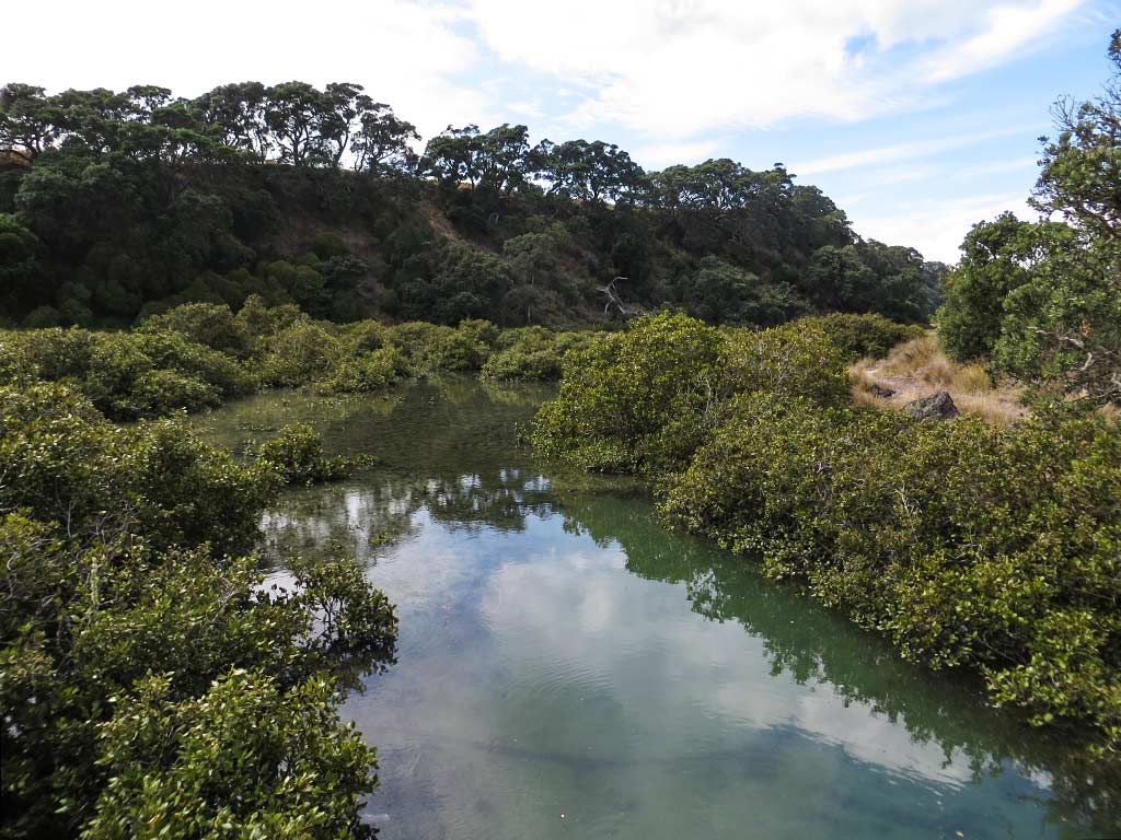
The first thing we wanted to see was exactly how these two islands were joined; so we set out on a path that took us in the direction of the bridge. Our walk took us through green and golden brush, small beaches, mangroves and pohutukawa trees. It was really quite a lovely area. Below, photos from the walk.
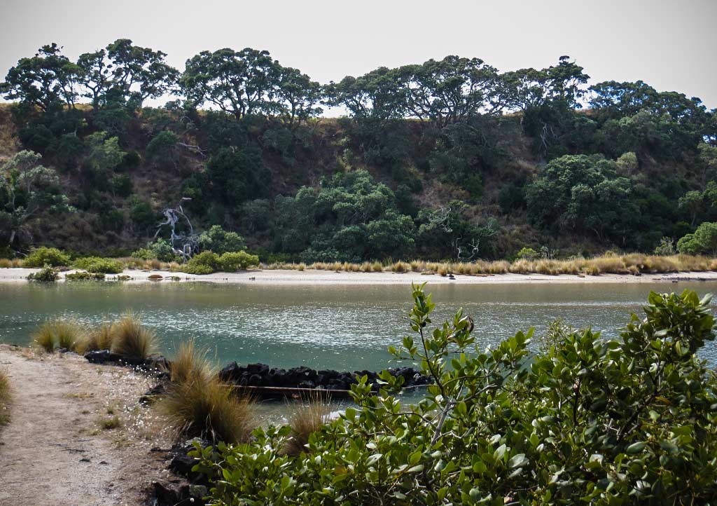
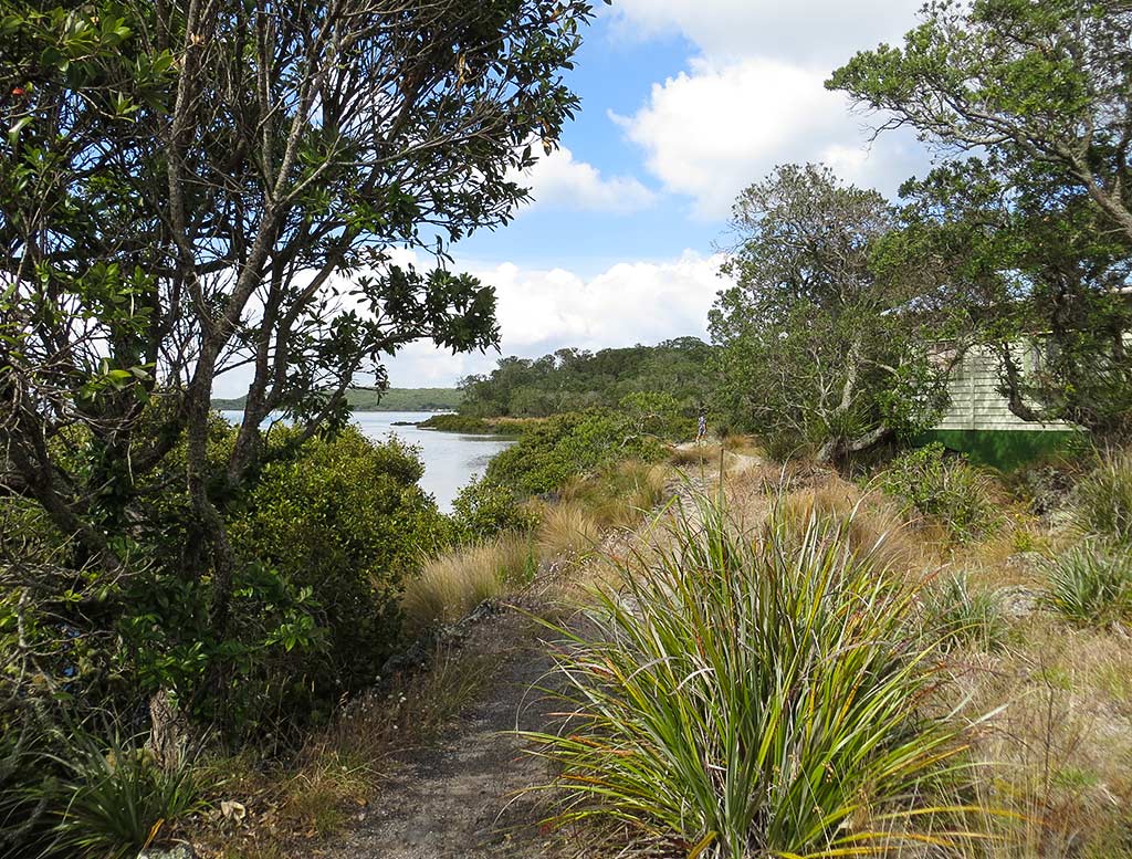
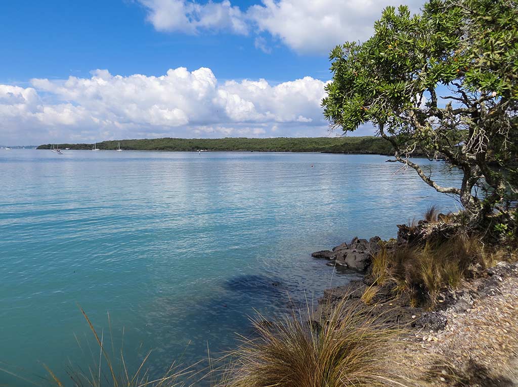
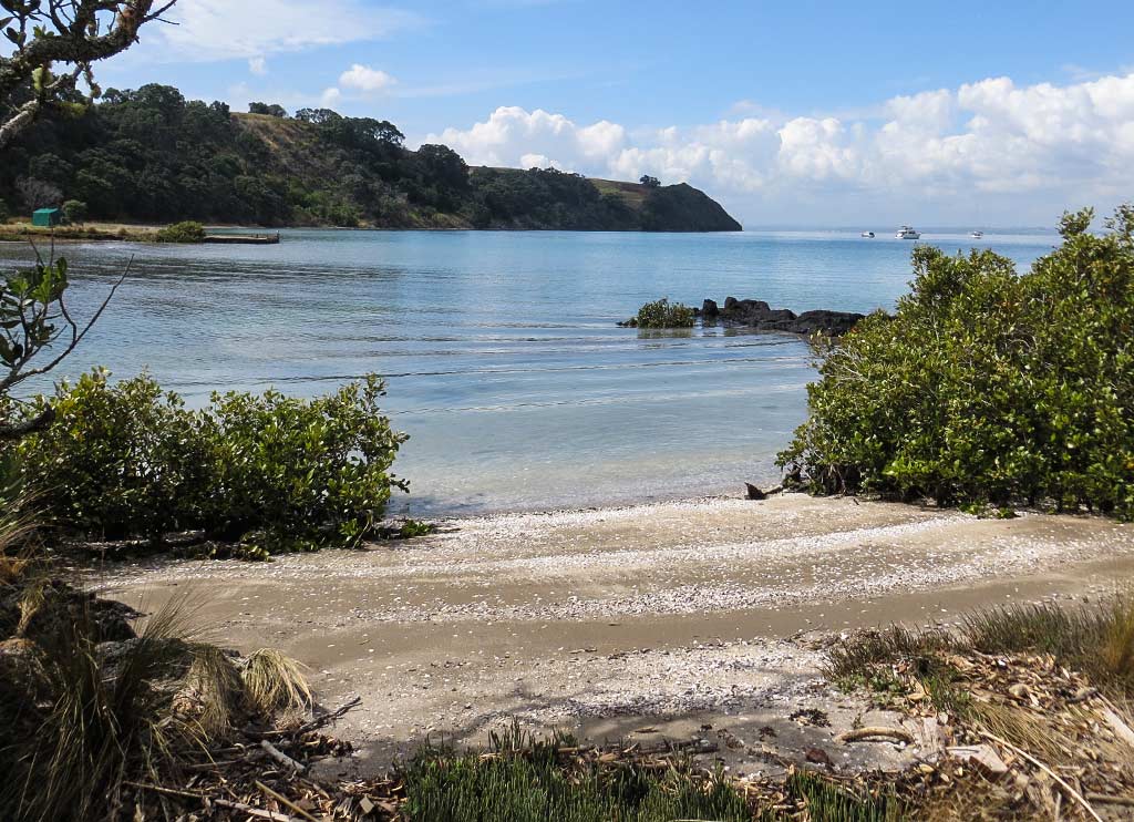
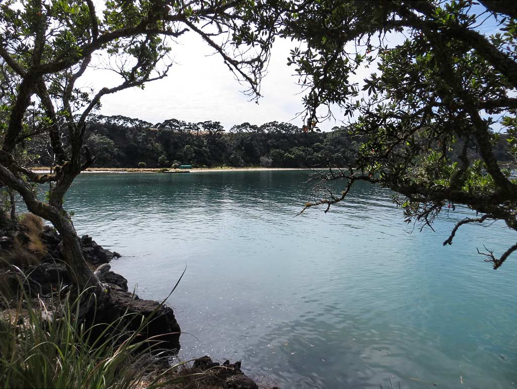
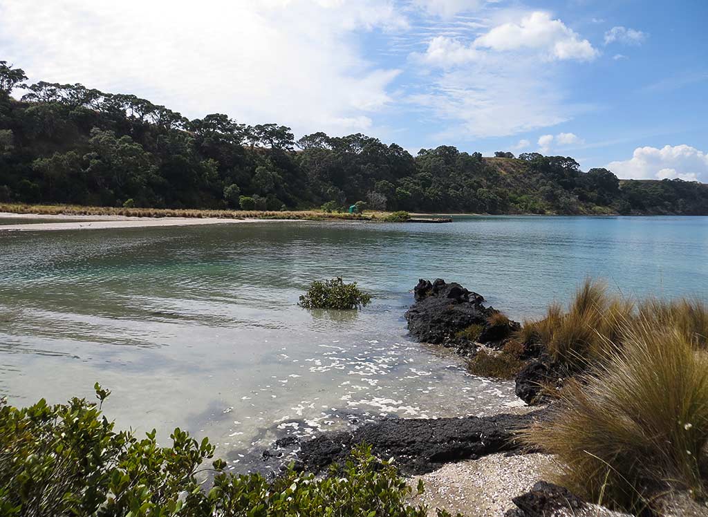
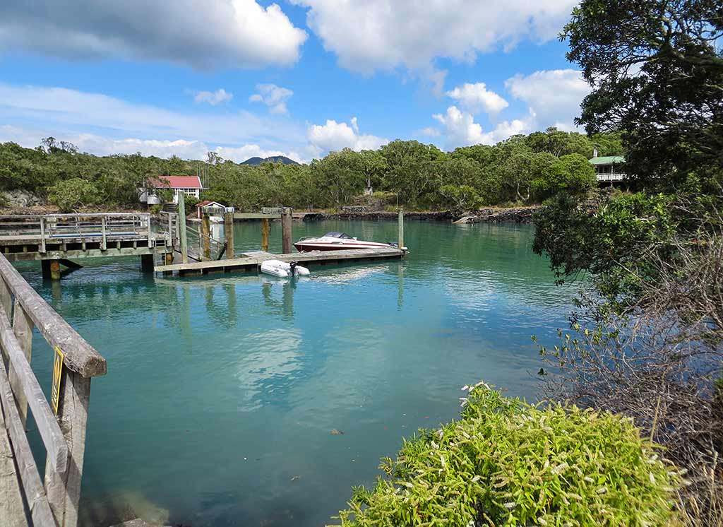
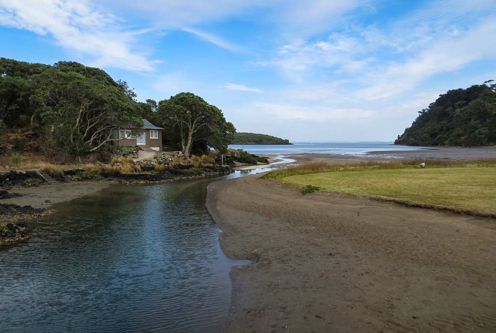
It turned out the islands didn’t quite join—it seems there’s always a small river between them no matter how low the tide is. We walked onto the bridge. The view to the south was filled with mangroves, but on the north side we could see a pleasant sandy area, a little cottage by the river, and a bay. Below, photos of the bridge and views to the south and north.
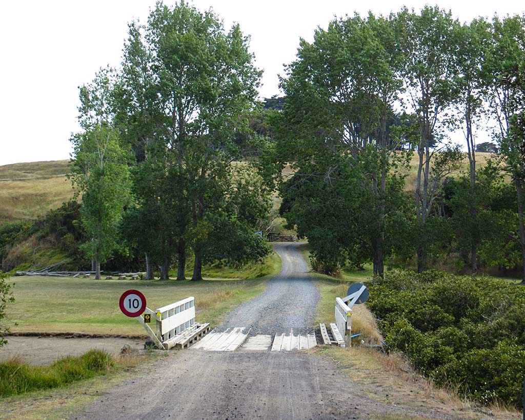
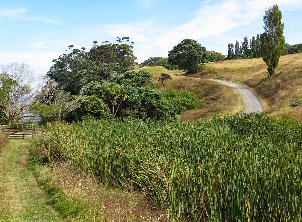
After we walked across the little bridge to Motutapu, it felt like a different world, more golden grassy, very different in look and feel from Rangitoto.
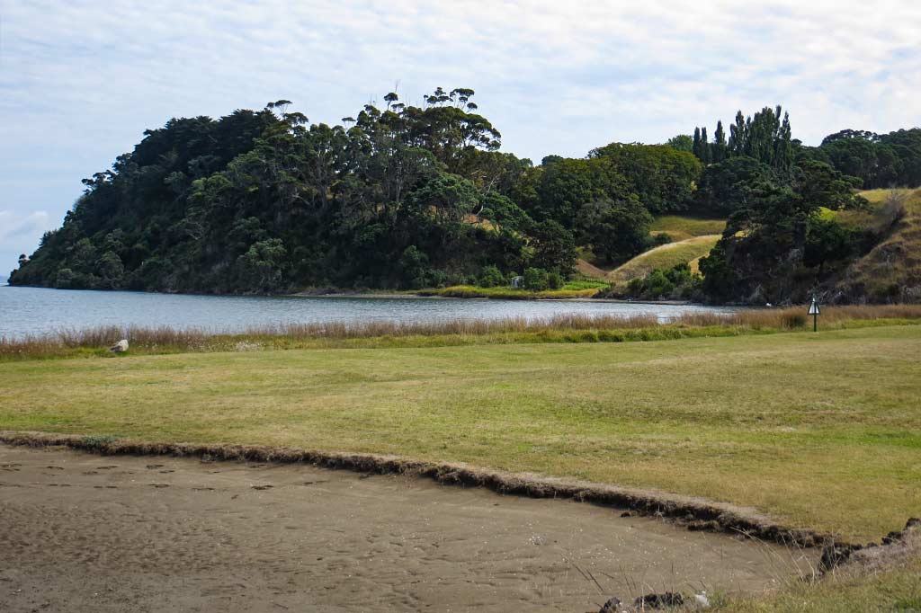
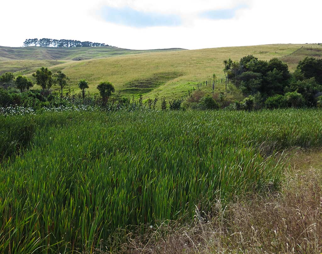
It was looking like we were in for a nice hike. –Cyndi


