Posted June, 2023
about September 12, 2022
Today’s destination was the well-known and much-loved Middle Percy Island. After our experience yesterday I had some trepidation about this next trip, but this time we were better prepared. We planned to do the passage during an incoming tide, which meant the current would be flowing in a beneficial direction for us and it would match the direction of the wind. For this area of the coast, avoiding wind vs swell conditions and making sure we didn’t waste time and fuel fighting a current would now become our biggest priorities.
Below, a map of our route to the Percy Island Group. While there are two other islands in this group (South Island and North East Island), Middle Island has the best anchorages. The one we were headed to was called West Bay, an easy choice in that looked attractive, was protected from prevailing winds, and was the location of a memento-filled cruisers’ shrine known as the Percy Island Yacht Club.
Arriving at Middle Percy would put us north of the strongest current. In fact our only issue might be, according to the Lucas guide, some swell rolling into the anchorage. It was hard to imagine how this could be as the wind would be coming from the southeast and our bay was well up the island’s west side. But then again the swell in this area is pretty relentless, adept at going around corners and finding every nook and cranny.
We took a look at the swell conditions out at sea and, of course, the wind strength. Both looked promisingly mild, but after the weather surprise yesterday, we didn’t have as much faith in the forecast.
I went outside to enjoy some morning coffee and laid a hard eyeball on the area of rough water outside the anchorage. At the moment it looked encouragingly calm, the breeze light and pleasant. But our anchorage was getting more rolly as the tide was starting to come up.
I went below and was getting ready when Rich said we needed to go, like, now. I ran out to get the anchor up and found the roll had steadily been escalating. It was time to get out of this place; so what a time for the anchor to get turned sideways and wedged in the chain guard, something that can happen if it’s brought up too quickly. Rich came up to the bow and got it unstuck, but now we were entering the area of disturbed water and I still needed to secure the anchor. It wasn’t choppy enough to be dangerous, but it did look potentially splashy. Thankfully, though, I stayed dry and once the anchor was secured I remained at the bow to watch as we motored through the swirling, choppy water.
When we got further north of Hexham Island, conditions became so calm! It seems the forecast was off once again, but this time the winds were lighter than advertised. After yesterday, I wasn’t going to complain. But one thing I was learning about this area was the weather forecasts can be a bit iffy.
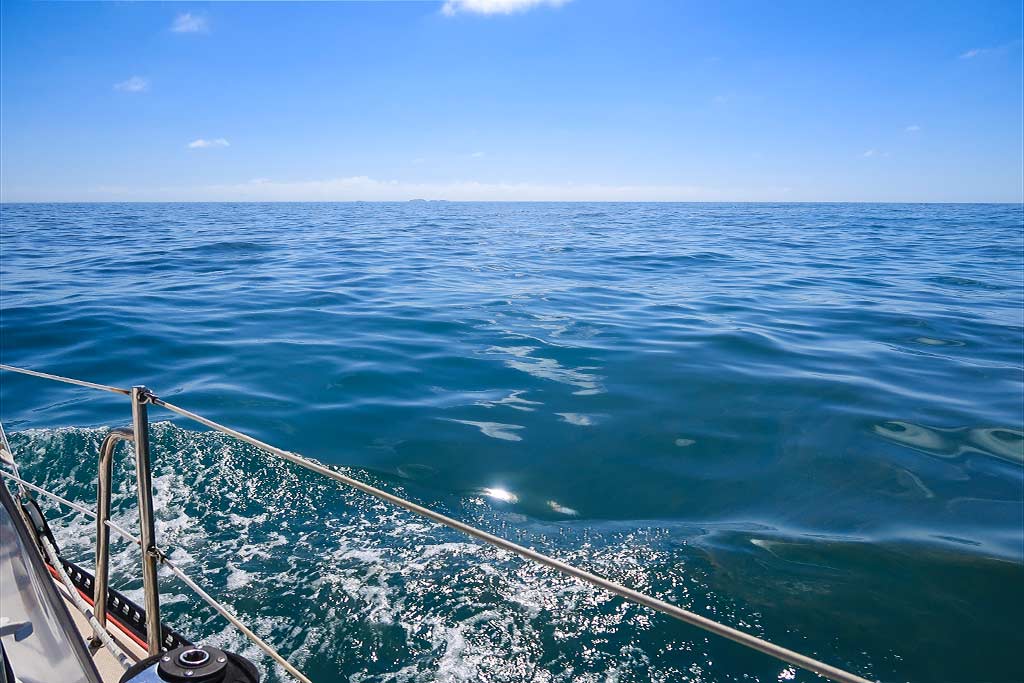
We ended up having a lovely 5-hour motor trip to our anchorage at Middle Percy Island, our boat making a sparkling wake through the glassy sea. The air was warm and pleasant, and getting away from Hexham made this feel even better! Below a video:
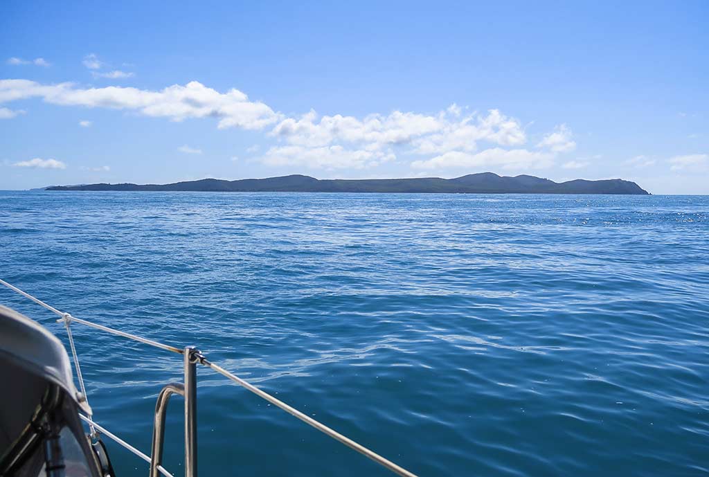
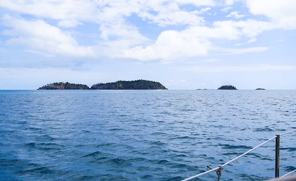
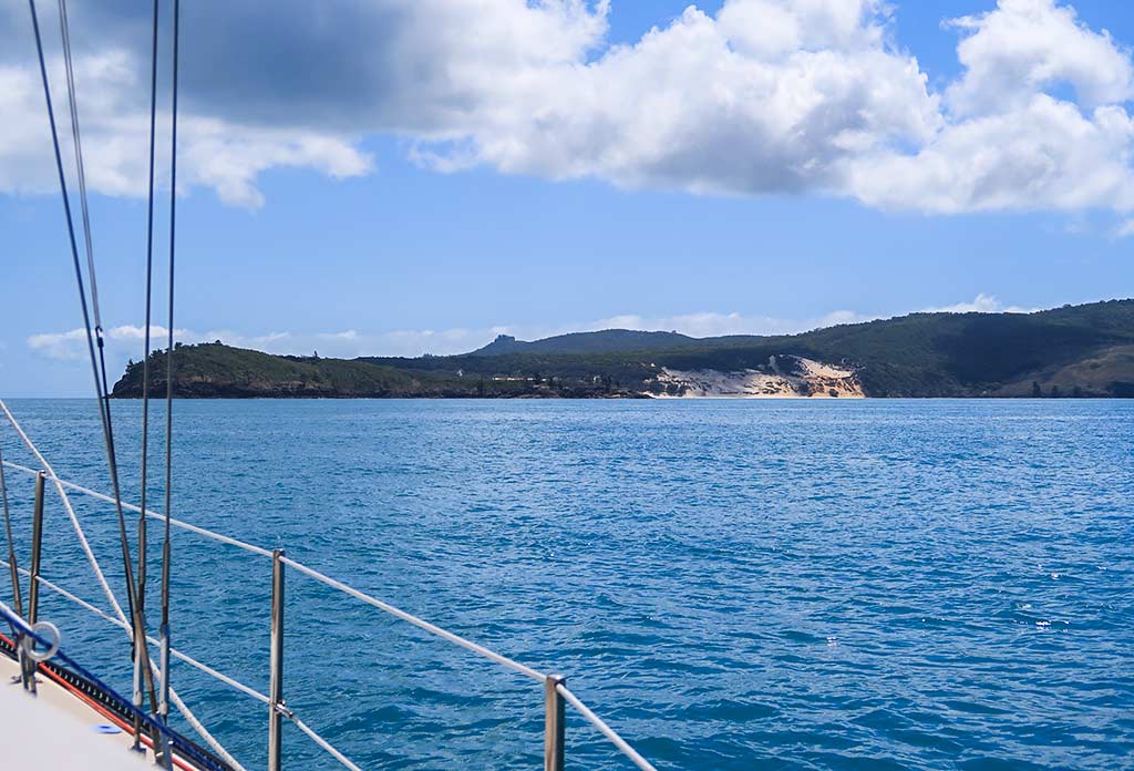
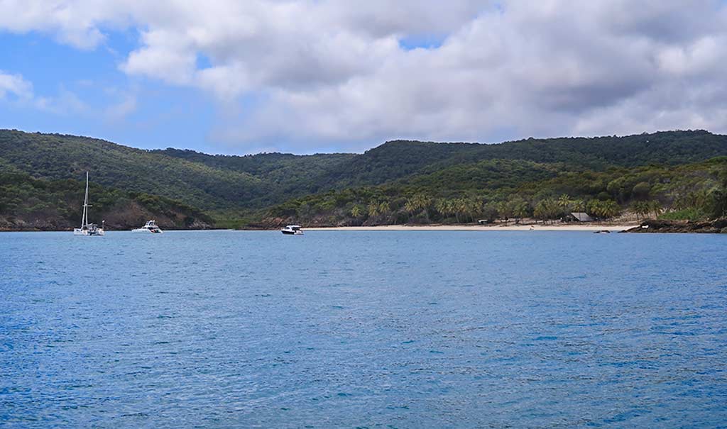
The first thing I noticed as we approached the Percy Islands was how green they were. The anchorage on South Island looked particularly pretty with a long white beach and green hills, but the inevitably of wrap-around swell would make it intolerably rolly. We continued past and headed up the west side of Middle Island, noticing sand flows showing through otherwise heavy forest. Below, a photo gallery or our trip from Hexham to Middle Percy Island, ending with arriving at West Bay. (Click any photo in the following galleries to enlarge.)
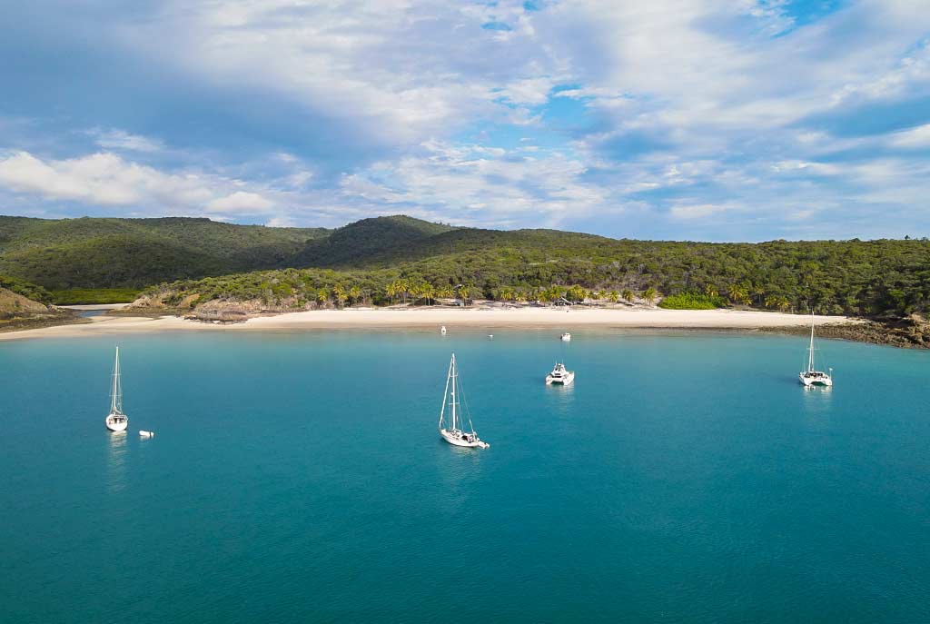
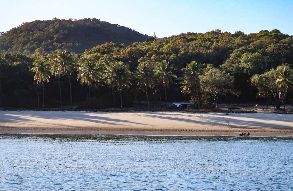
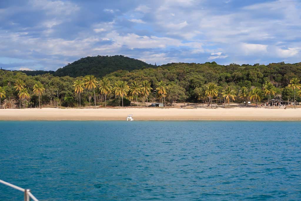
When West Bay came into view I felt a sense of relief. We could see 3 boats in the bay, none of them rolling, and there was plenty of room. Plus it was lovely: blue water surrounded by high green hills with a wide beach stretching across the head of bay. A long line of palm trees ran behind the beach, and tucked in among them was the Robinson Crusoe-style “yacht club,” an A-frame cabin where cruisers could mark their visit by leaving a memento. My reaction: “Now this is what we’re talking about!”
We dropped our anchor in 27 feet of water to give us extra depth for the low tide. The current tidal range was 19 feet, but there was no sense of current affecting us. Just offshore was a small island called Pine Islet, which gave the bay a cozy, protected feeling. I loved this place already, but with all that it took to get here, my enthusiasm was muffled by a world-weary fatigue.
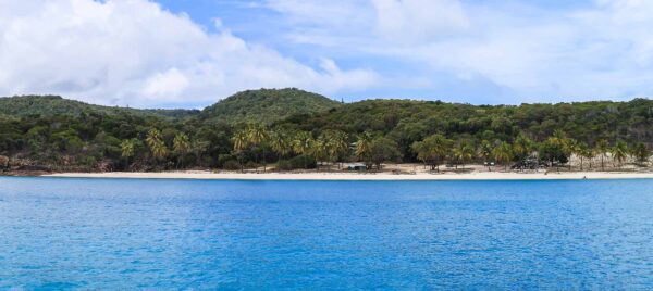
Below, some photos of the anchorage, starting with a panorama taken shortly after we arrived . . .
And a gallery with photos of the anchorage from the camera and the drone at various times of day.
Our first order of business was to have lunch, then we would head ashore. –Cyndi

