April 1, 2013
The north Hauraki Gulf definitely has its own character. It’s bordered by the Whangaparaoa Peninsula on the south end and the Tawharanui Peninsula on the north. In between these peninsulas is a 14-mile expanse which, aside from Kawau, contains only a few small islands. Much of the boating action actually takes place in the harbors and estuaries on the mainland, especially the Mahurangi Harbor, famous for its yachting heritage and annual regatta of traditional yachts.
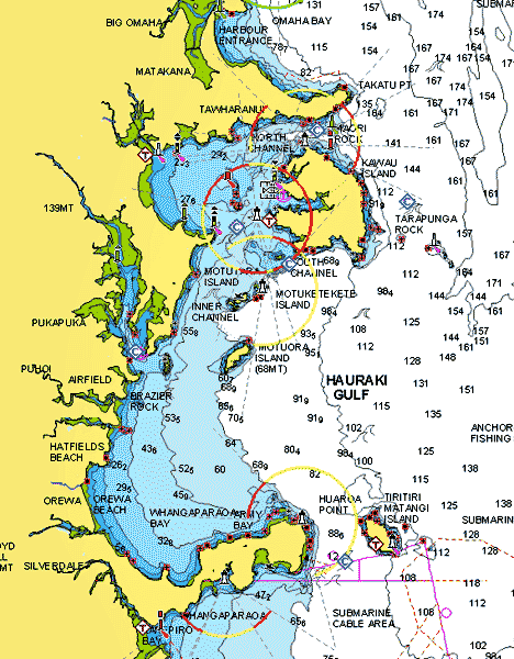
This map shows the north Hauraki Gulf area. The unnamed large harbor on the mainland is the famous Mahurangi Harbor.
Onshore is the Matakana wine country where vineyards and produce farms sprawl over the rolling hills. It’s famous for it’s wineries, artisan foods, and the Matakana Village Farmers’ Market. The lifestyle here attracts artists, foodies, weekend boaters, and suburbanites willing to make the long commute to Auckland. Unfortunately because of weather and time constrictions we didn’t get to explore this area in Legacy during our 2013 season, but we did make it back later by car. Off the top of my head I’d say it’s like coastal Maryland meets laid-back northern California.
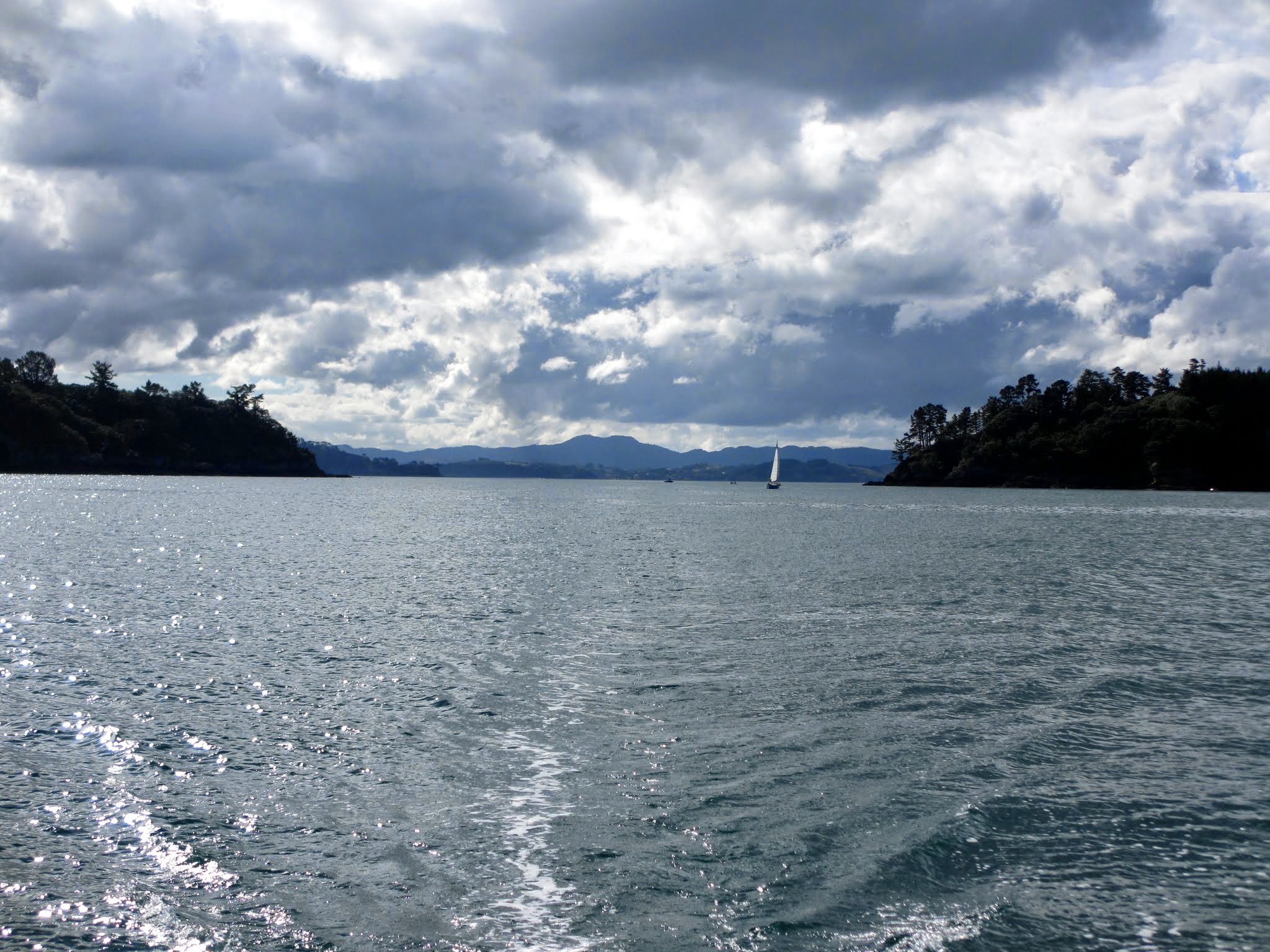
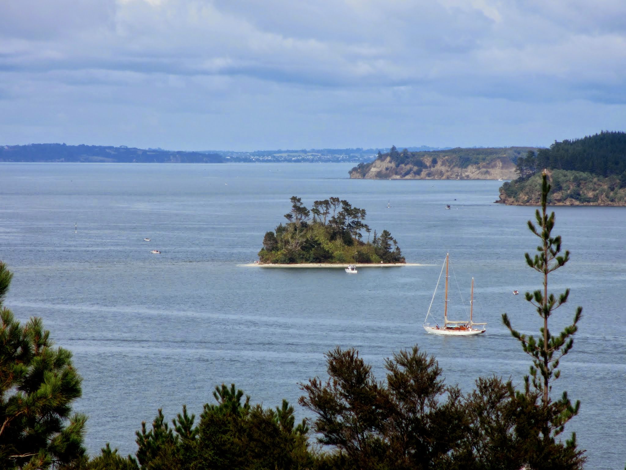
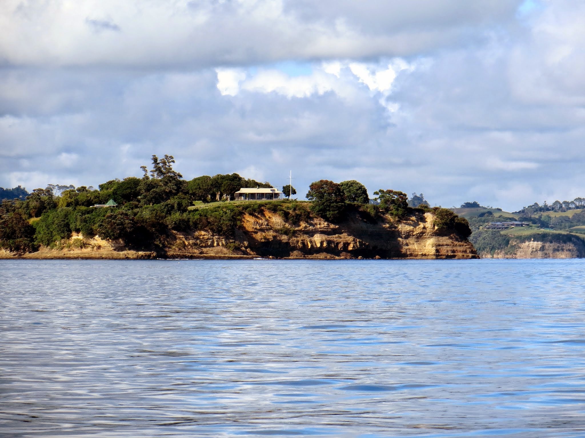
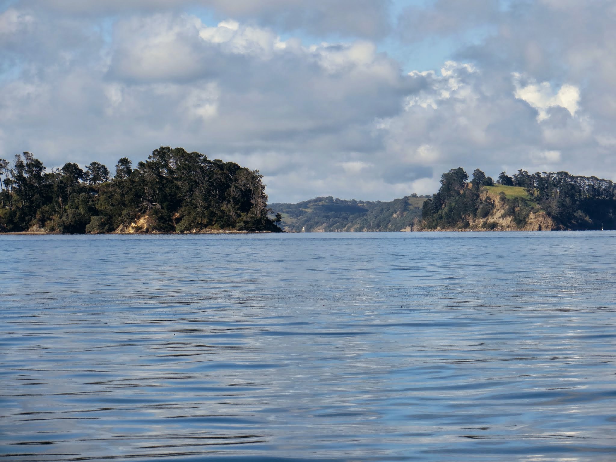
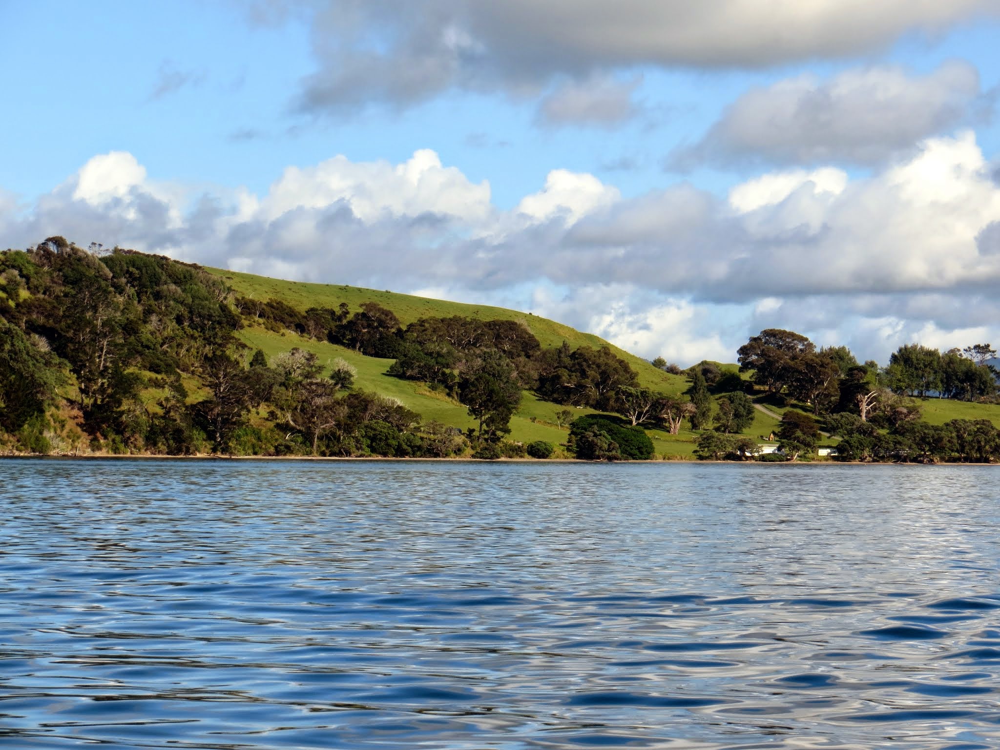
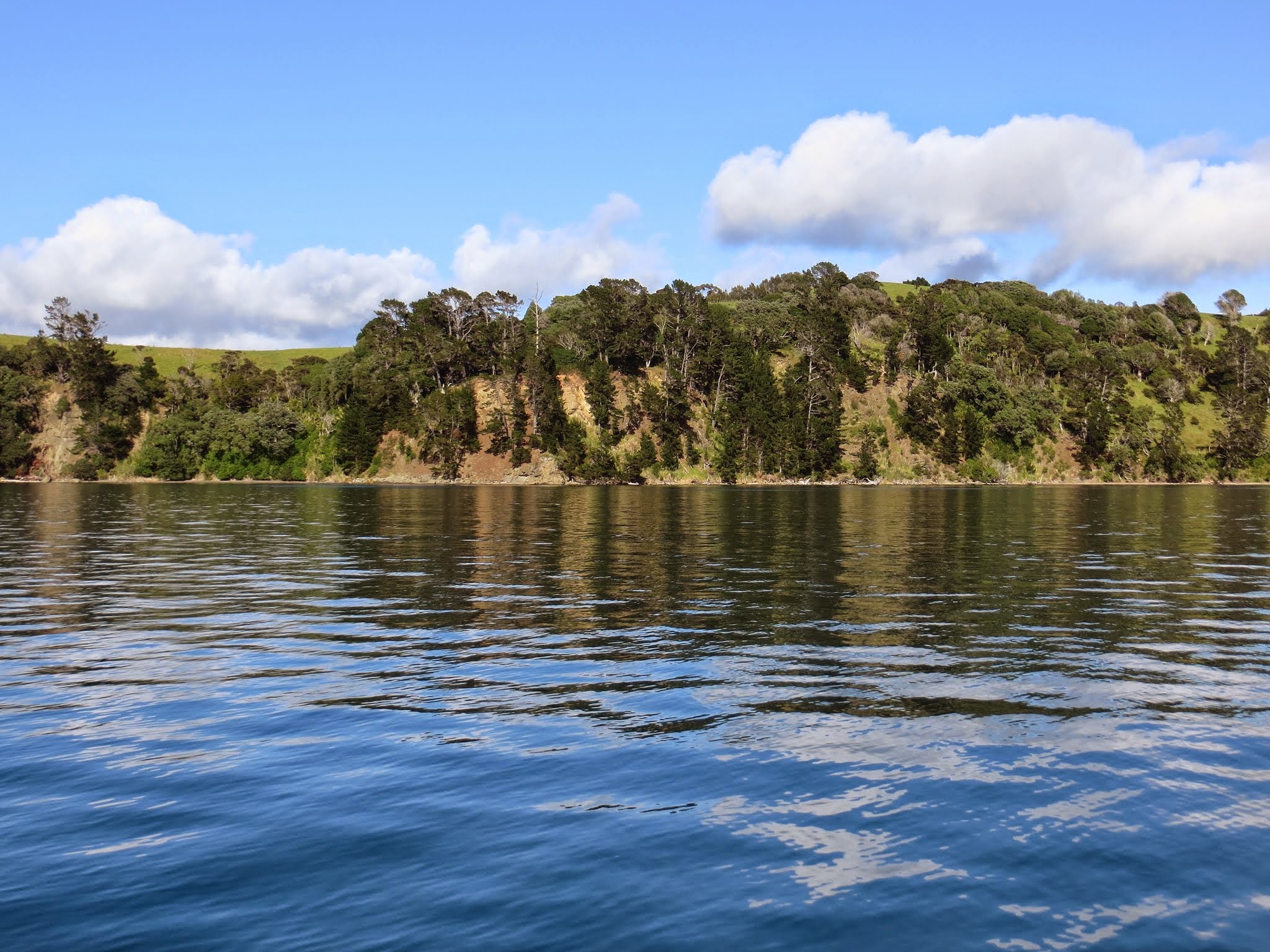
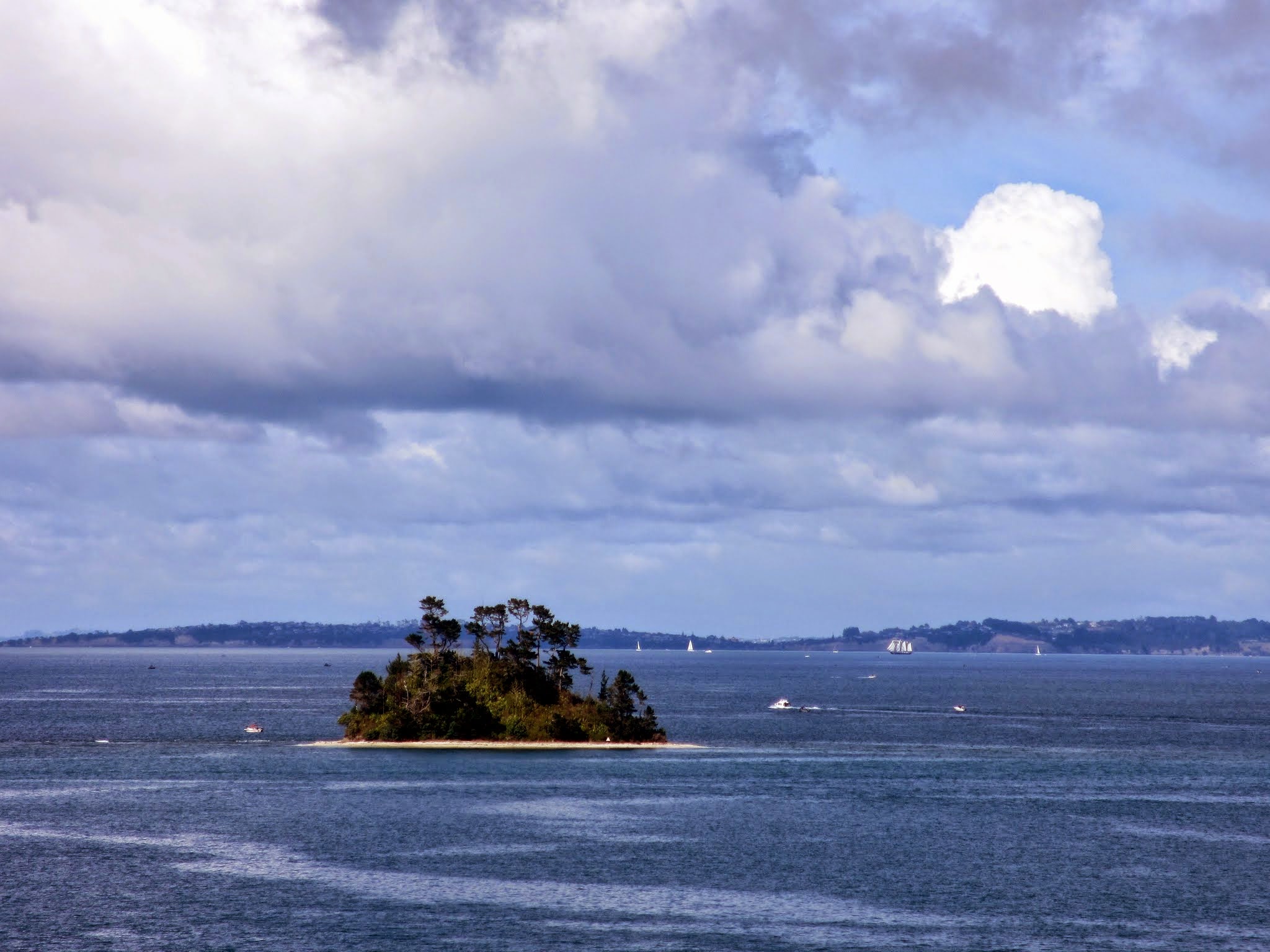
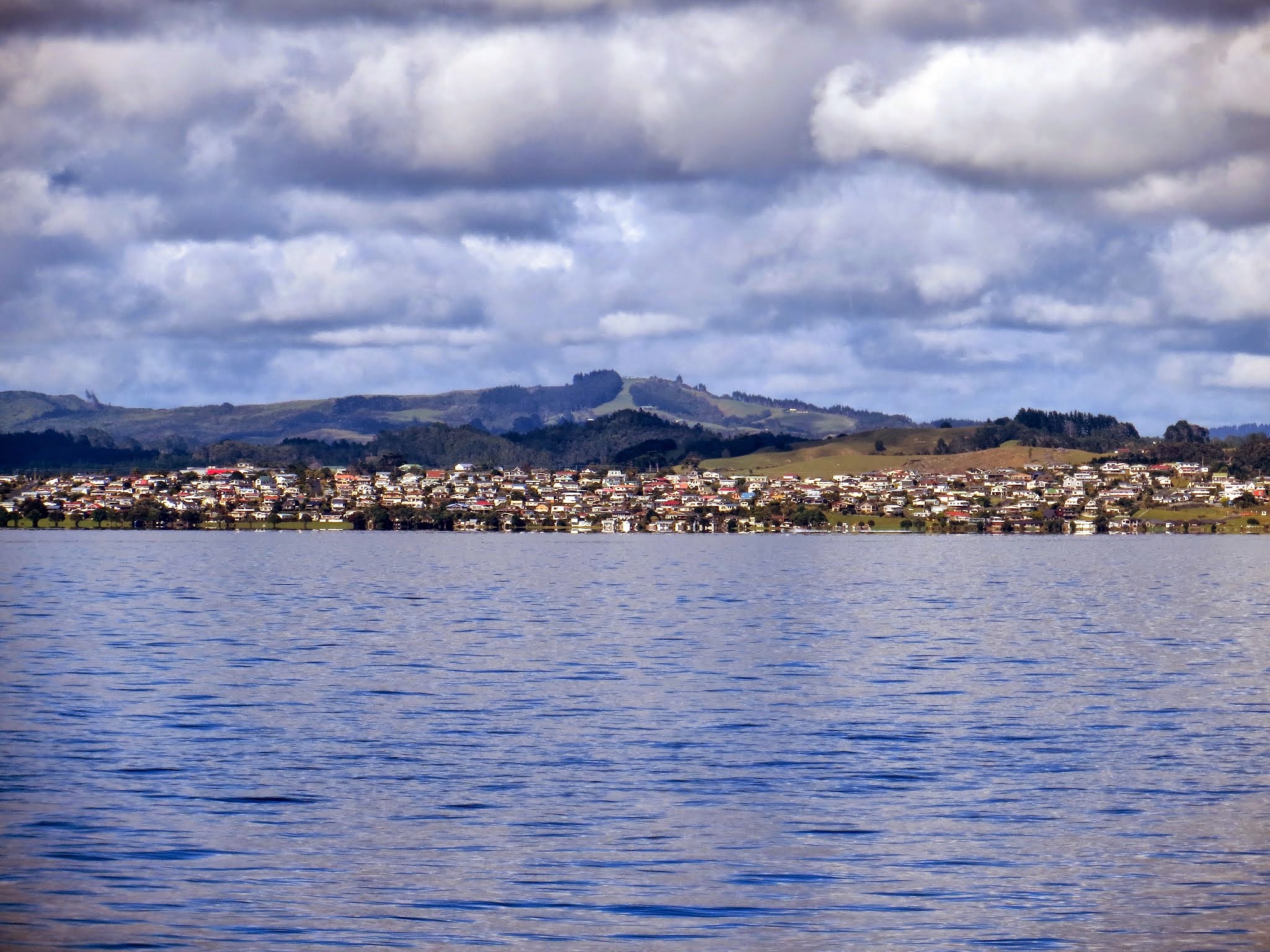
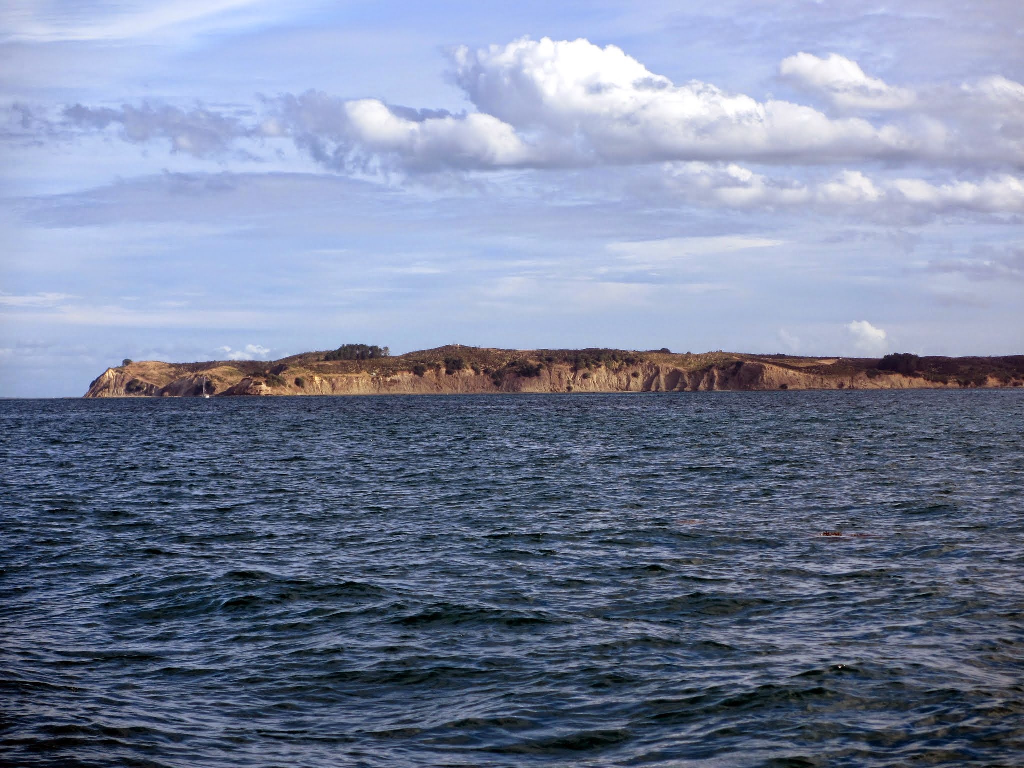
I’ll eventually do posts about the Matakana area, but for now I’m focusing on the north Hauraki Gulf and its islands. The gallery below is an assortment of pictures that I hope give a general feeling of this area. The last picture is of the Whangaparaoa Peninsula (beyond which is the bigger, more mainstream south Hauraki Gulf and the city of Auckland).
As always, click to enlarge or scroll. –Cyndi