March 20, 2016
The Queen Charlotte Track is one of the most famous walks in New Zealand. It’s 44 miles long, mostly running along a ridge topping the mountains between two sounds: the Queen Charlotte Sound and the Kenepuru Sound. It takes 3 to 5 days to do the entire track and thus attracts a lot of serious hikers.
Luckily for less-serious hikers, there are seven bays with relatively short access trails to the Queen Charlotte Track, and water taxis from Picton have day-trip options where they’ll drop you off at one point and meet you at another several hours later. These walks take anywhere from 3 to 8 hours, depending on which option you pick. Some access points also have lodging/camping areas for the hikers.
Luckily for us not-serious-at-all hikers, you can visit just one bay, use the access trail to the Queen Charlotte Track; walk a little bit of it, then return to the bay. If you have your own boat, you can do this in several different places (which we’re hoping to do as we go along).
This is how we came to walk some of the Queen Charlotte Track. We picked Mistletoe Bay in the Grove Arm because of its access trail, the James Vogel Nature Track. After taking our dinghy to the dock provided by the park service, we found ourselves in a nice area of cabins plus a lawn area for tent campers. There was a dining area and kitchen for fixing your own food, and a tiny shop that makes coffee drinks for those who think to bring their wallet. (We didn’t think to bring our wallet).
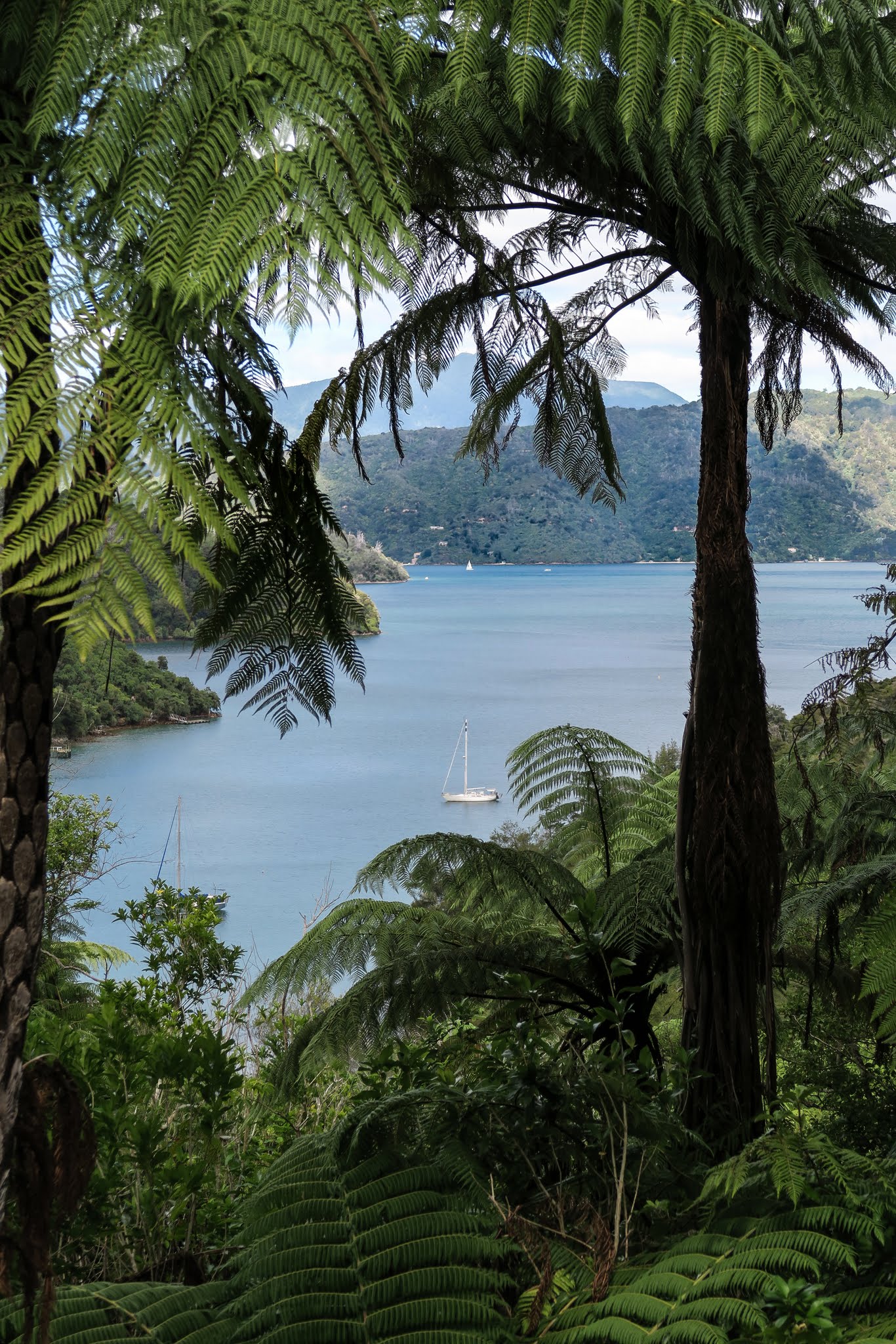
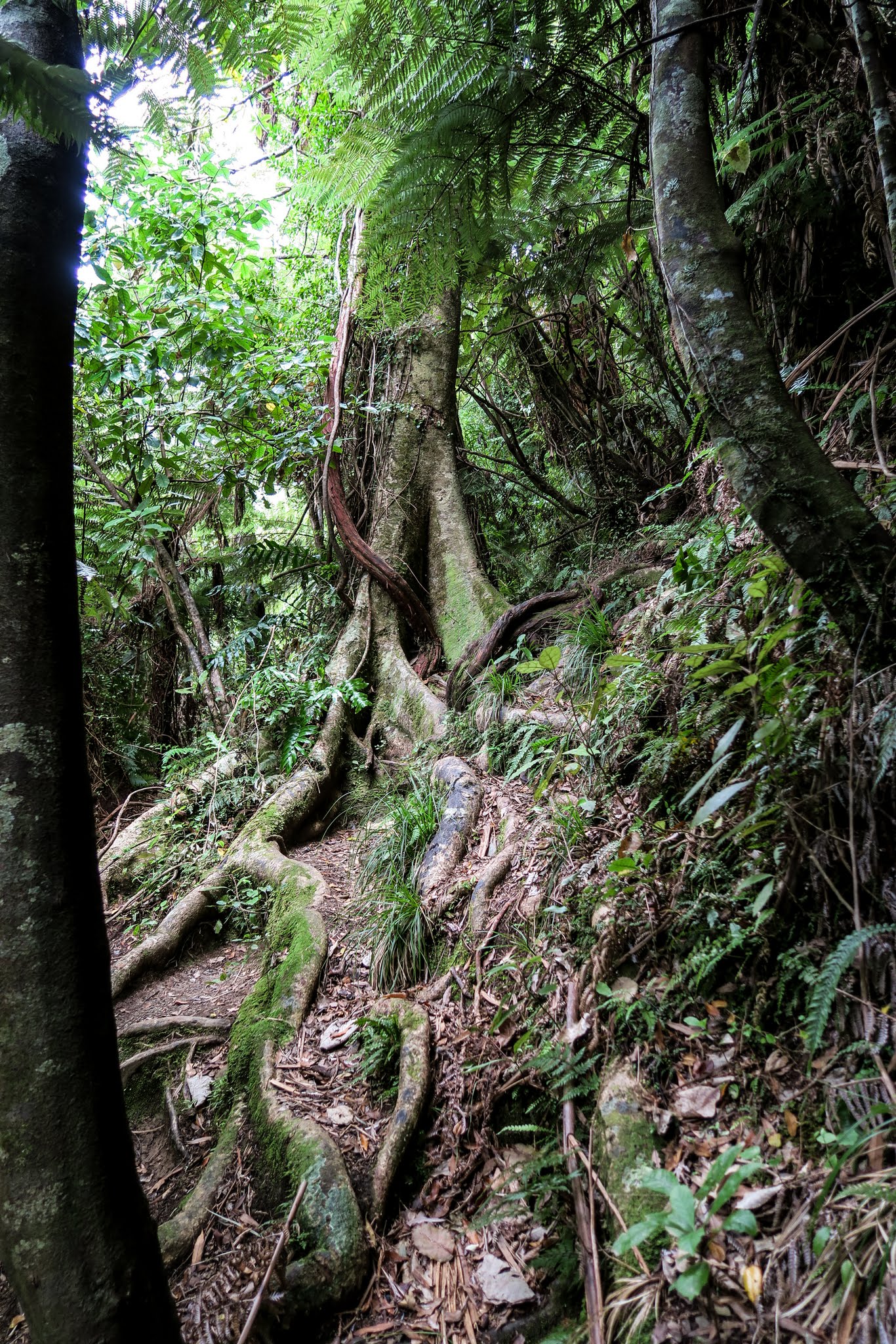
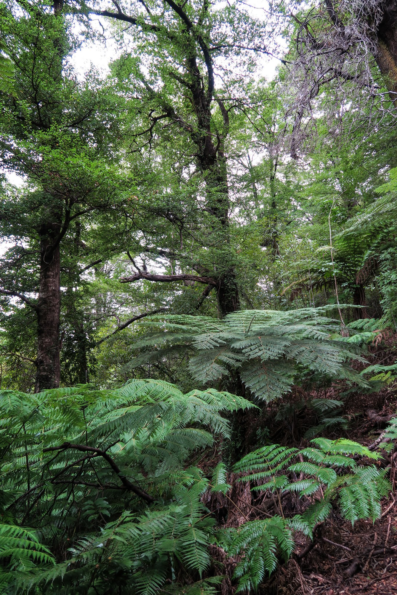
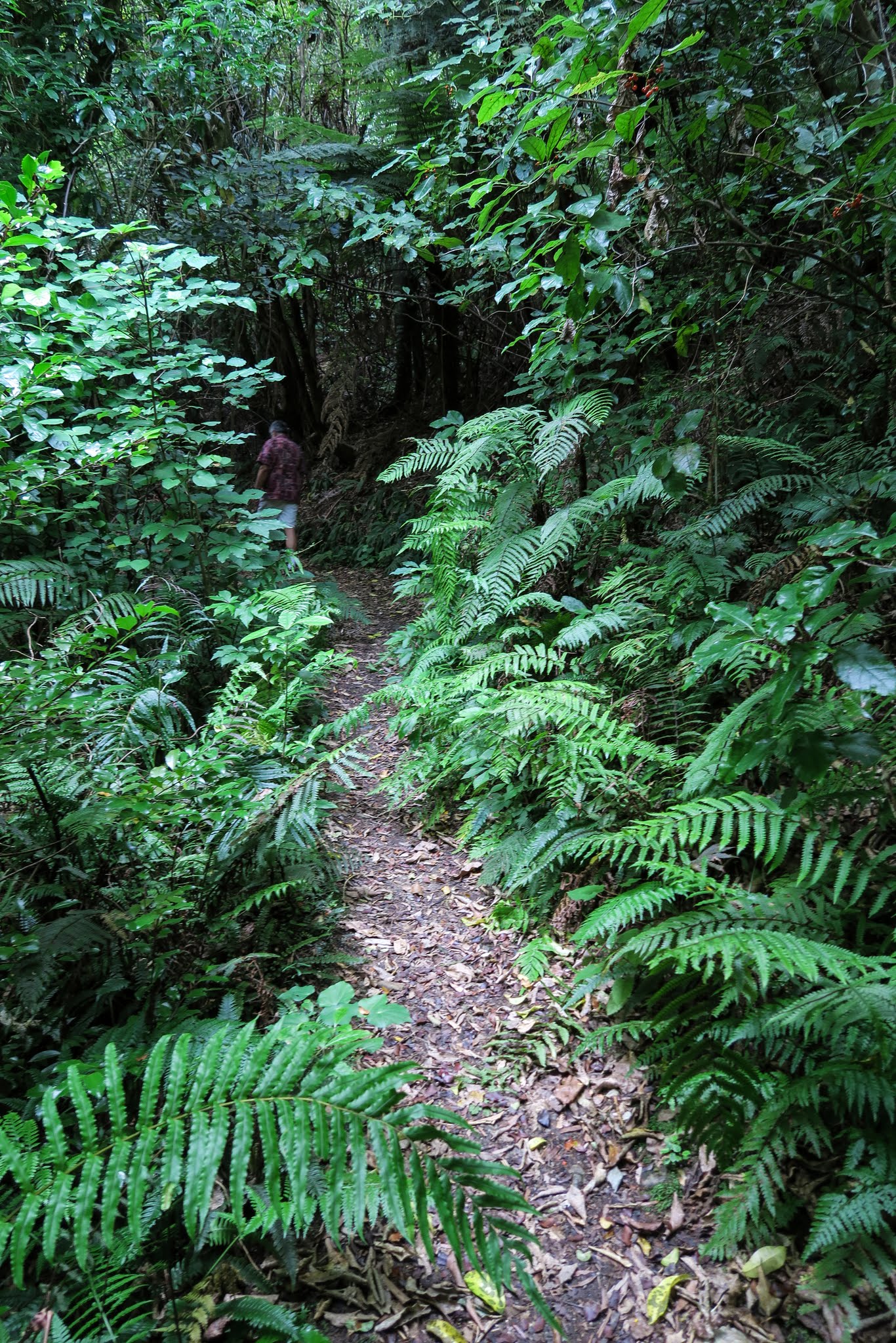
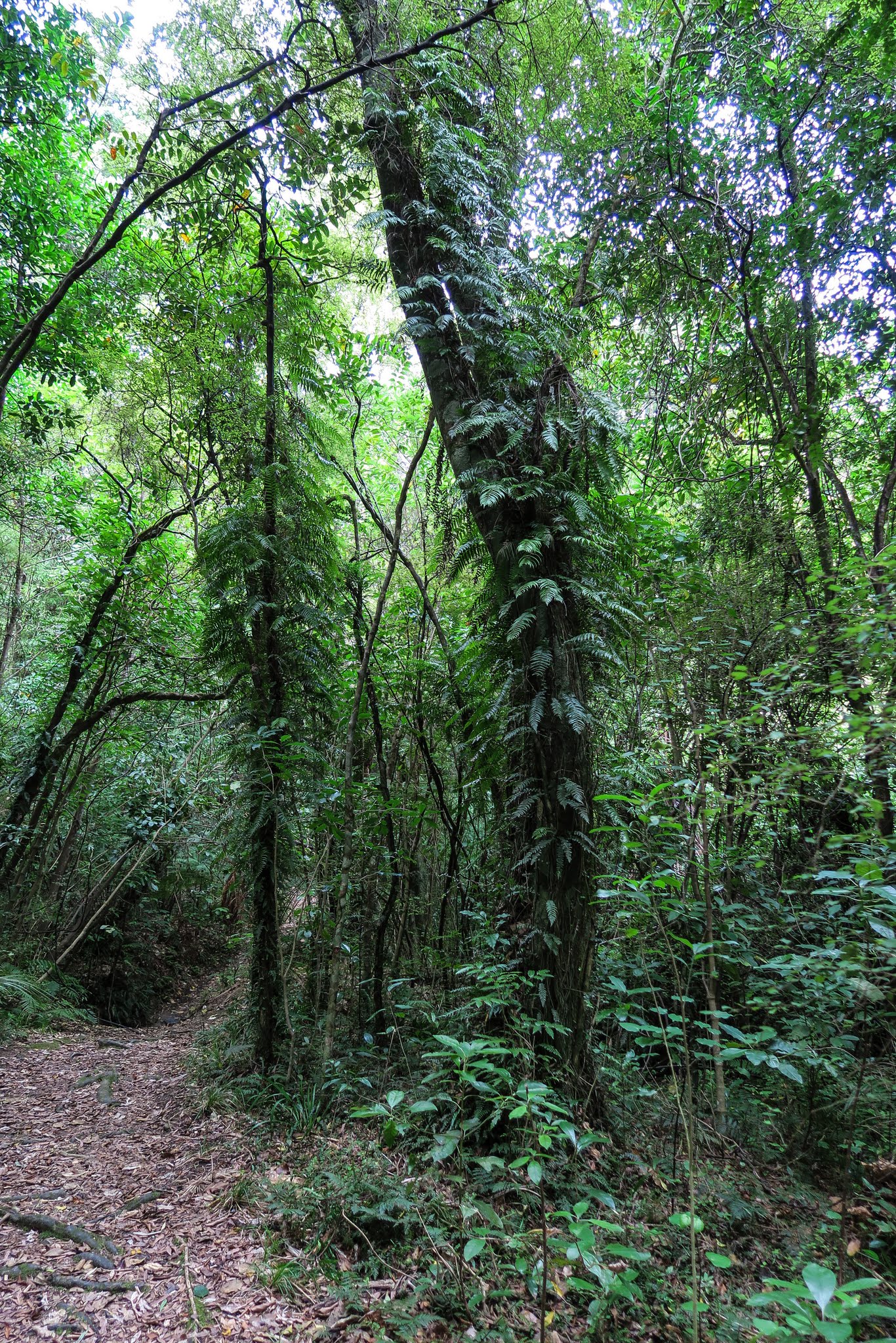
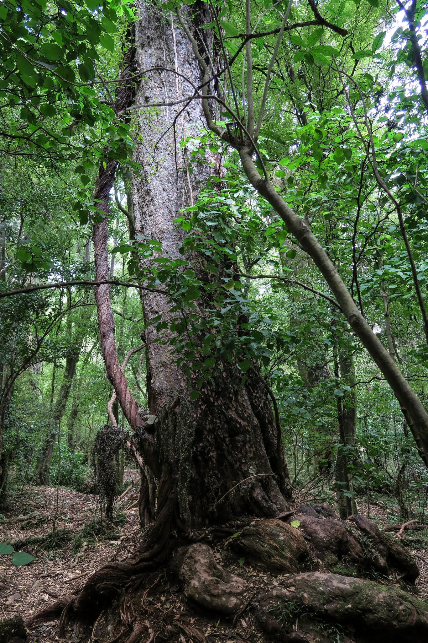
We learned a couple of things during our hike. The first was that these access trails are nothing to sneeze at. The hike was uphill, longer, steeper, and more rugged than we anticipated, taking about 30 minutes (not including rests). The surprise was how beautiful it was. While much of the Queen Charlotte Track is on a ridge up high where drier native brush grows, this access track (the James Vogel Nature Track) was in a lush, green forest that looked like a rainforest. In spite of my research, I’d never heard of this track until we looked at the trail maps onshore, and I’m surprised because I think it would be an attraction in itself.
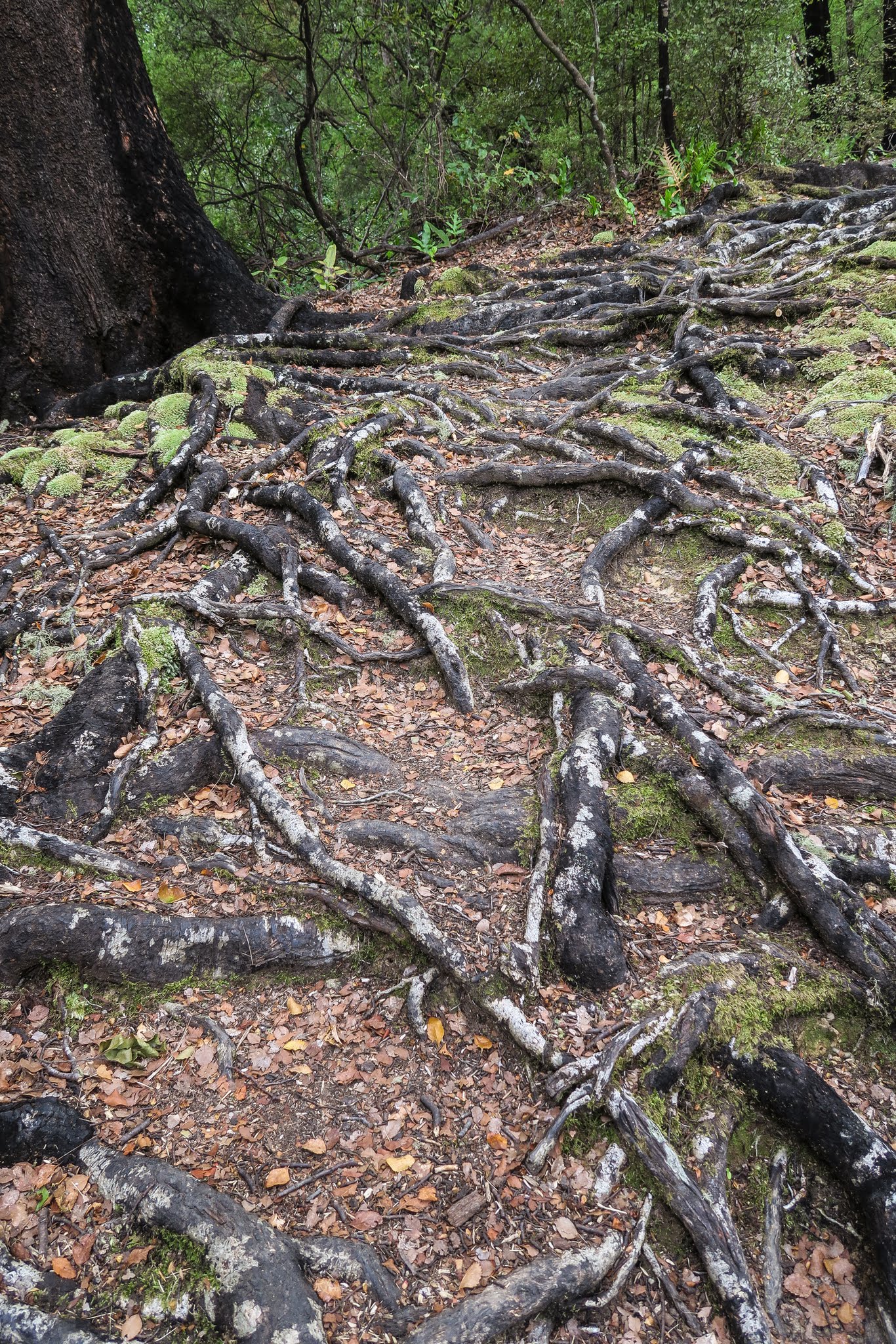
Climbing was a bit of a challenge as the trail would disappear at times amid coiling tree roots. It would pick up again, though, and we survived the climb to the top. The sign up there said this was the James Vogel Trail for “expert hikers.” All other hikers could take a nearby gravel road down to Mistletoe Bay. Wow, they left out that “expert hiker” bit on the sign at the other end of the trail.
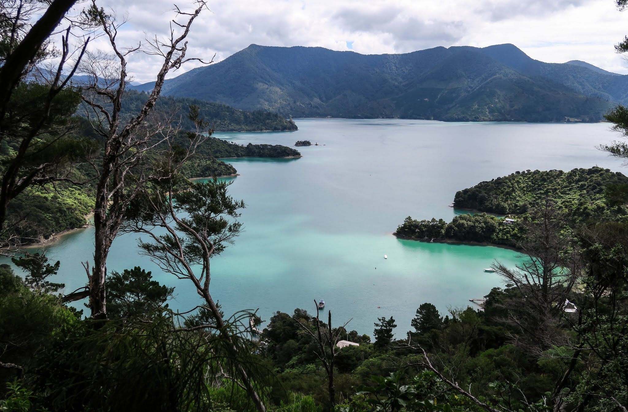
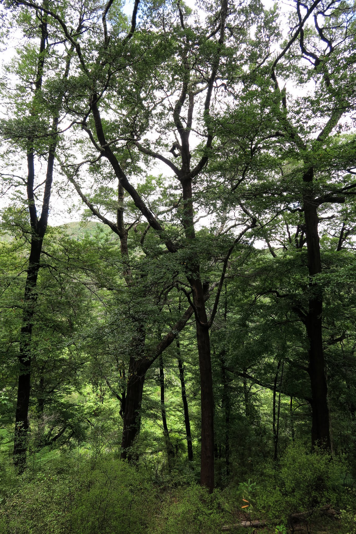
Once we were on the Queen Charlotte Track, the inclines were gentle and as expected, the vegetation was more dry. We walked far enough to get a great view of Kenepuru Sound, then turned and went the other way for awhile hoping to get a view of Queen Charlotte Sound. After it became apparent that would be too long of a walk for us, we took the gravel road back to our bay, gawking at the tree ferns growing along it that must have been nearly 30 feet high. Below, a gallery of photos from our hike (click to enlarge and scroll). –Cyndi