
September 6, 2022
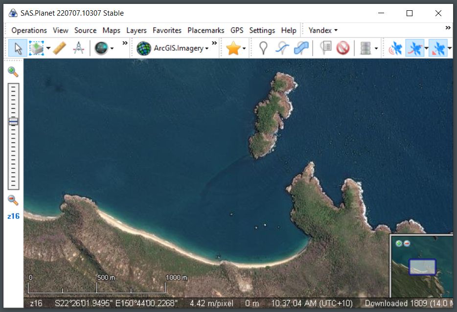
We use satellite images a lot for navigation. I’m almost exclusively using SAS Planet now to download the satellite images from various sources including Google, Bing, and ESRI. A few weeks ago, my favorite, the ESRI images stopped loading. Today was my second go-round at trying to fix this and I found a simple solution…
If you have this issue, in SAS Planet try to display ESRI arcGIS.Imagery. If nothing loads and while arcGIS.Imagery is still selected, go to settings/map settings. You should see something like this…
Template or Base part of request URL:http://server.arcgisonline.com/ArcGIS/rest/services/World_Imagery/MapServer/tile/
Just add an ‘s’ to http: and away you go (or away I went, anyway!). It should look like this…
URL:https://server.arcgisonline.com/ArcGIS/rest/services/World_Imagery/MapServer/tile/
SAS Planet is a great, free program and can be downloaded here.
-Rich


