
February 9, 2014
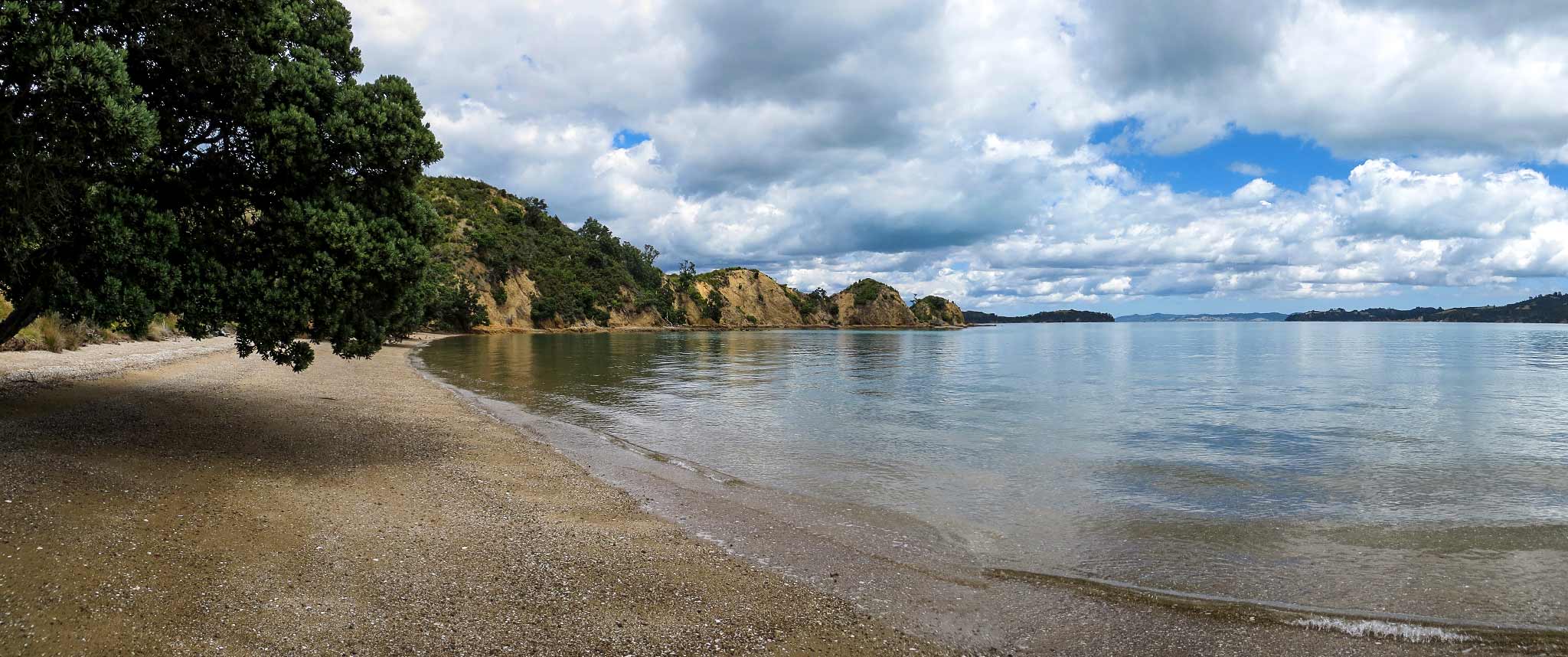
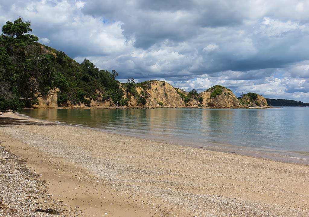
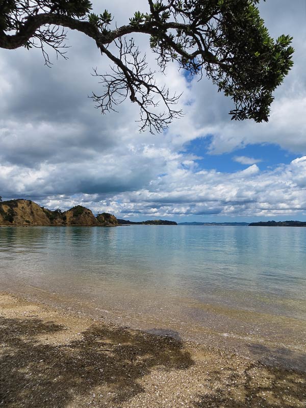
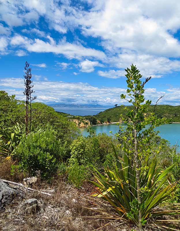
After appreciating the views of the Hauraki Gulf from the North Point Tower, we continued to an area called Mai Mai Bay. From above we could see the reach of its unusual headland: a long, a long narrow arm with three distinctly pointed hills. We then followed the trail down to Mai Mai Beach.
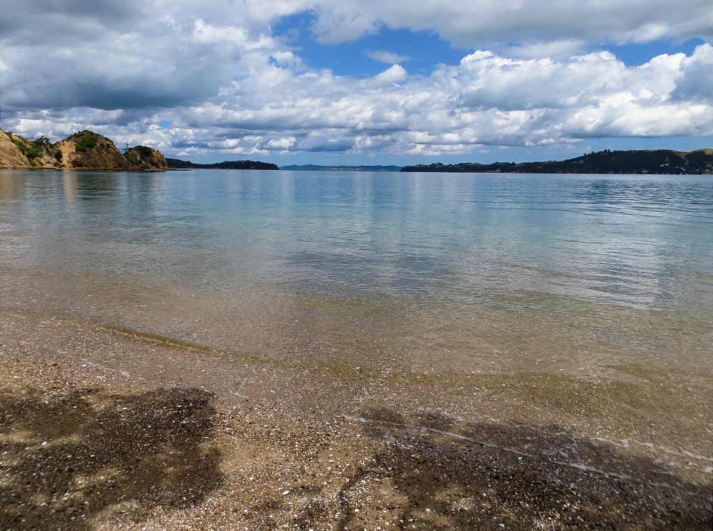
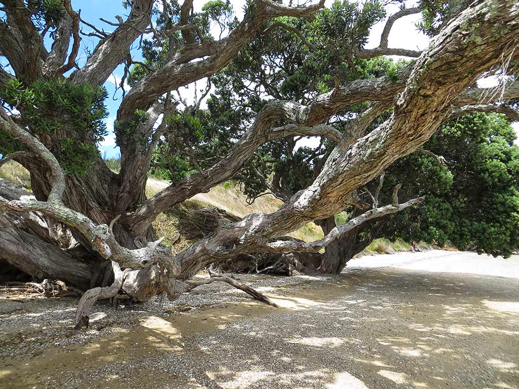
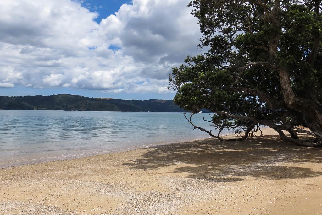
We soon found ourselves in a strange and beautiful place. The beach’s beige sand had a distinct pink tinge and was strewn with white pebbles. Here and there, branches from scattered pohutukawa trees provided bits of shade. The water was very clear, and the pointy-hill headland provided a backdrop that gave the area a surreal look. New Zealand’s ever-present long white clouds softened the natural light, giving the scene a dreamy feeling. The silence and stillness added to this effect. This was a place that seemed to invite meditation or spiritual contemplation rather than swimming and cavorting on the beach.
Below, a couple of panorama photos…

And here’s a small gallery. Click for larger images in any galleries that follow.
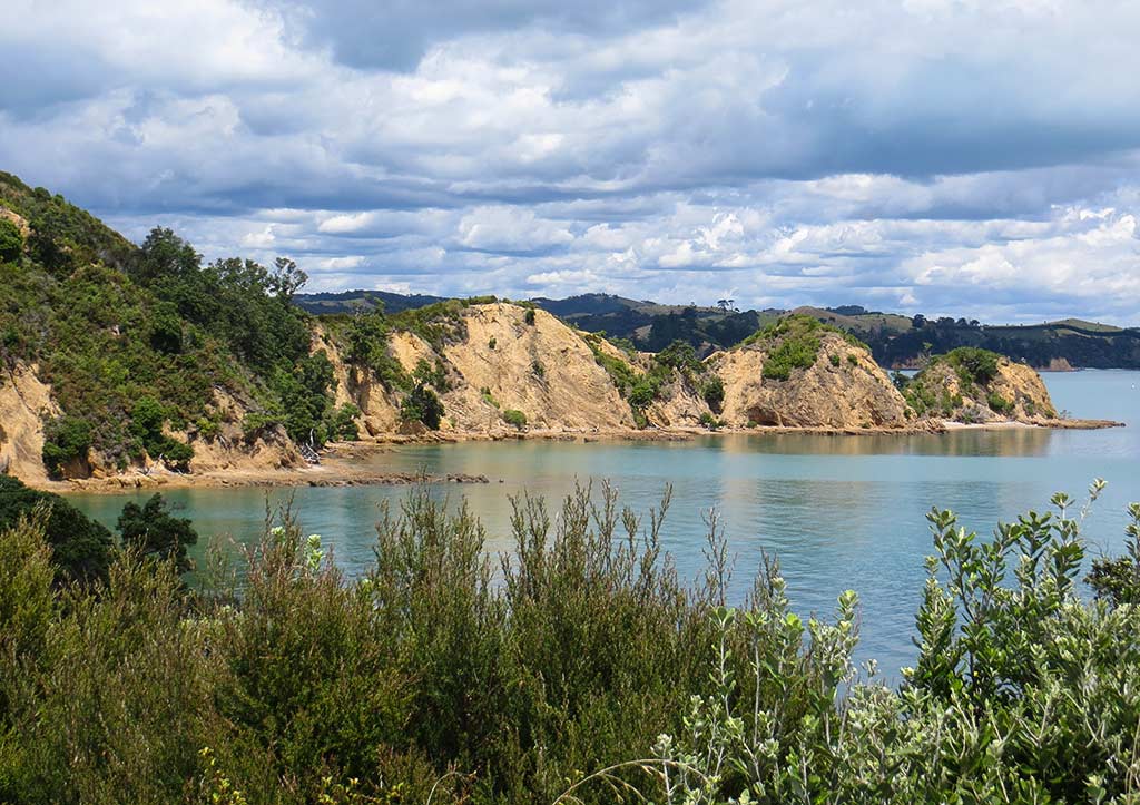
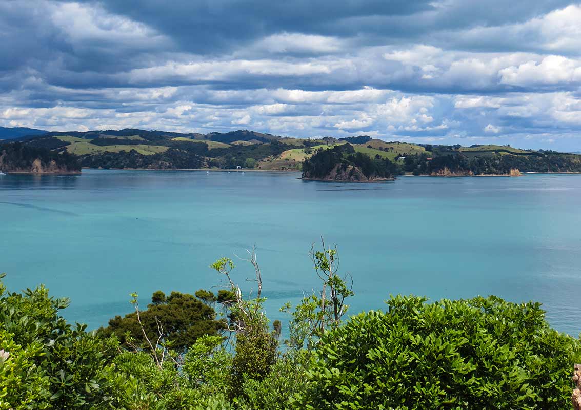
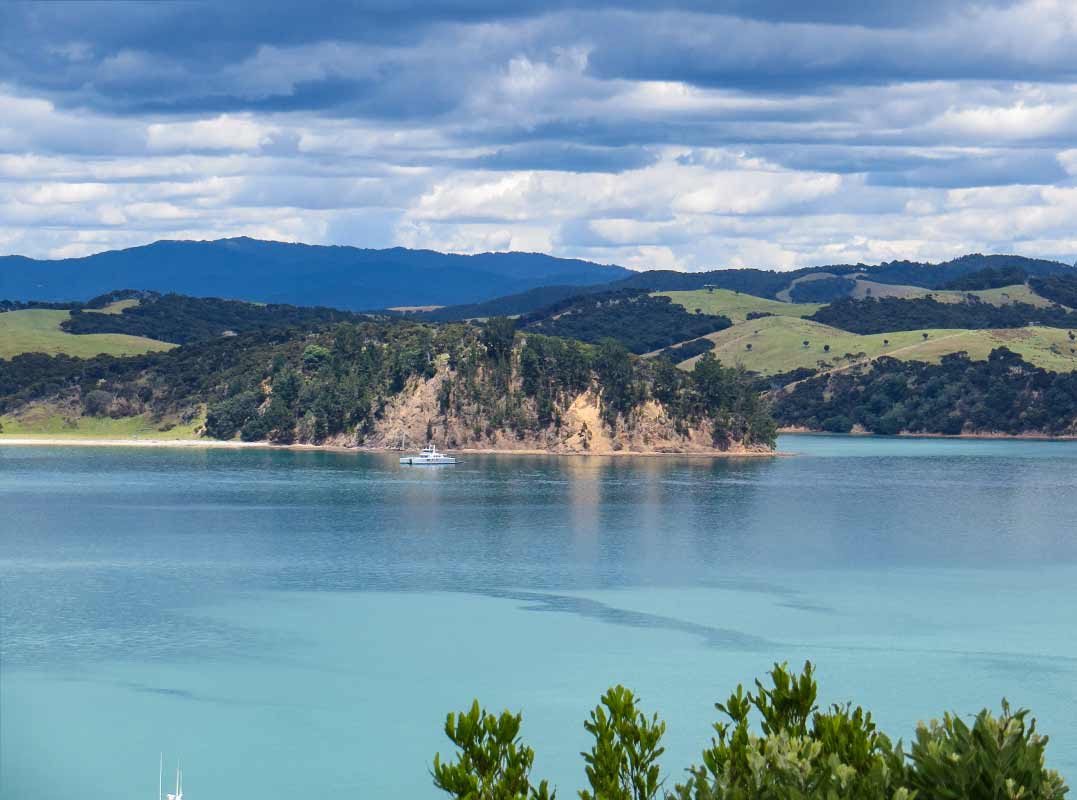
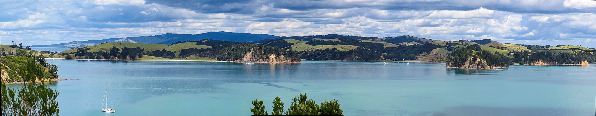
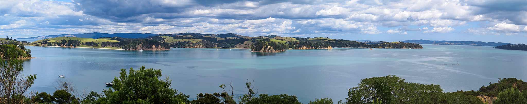
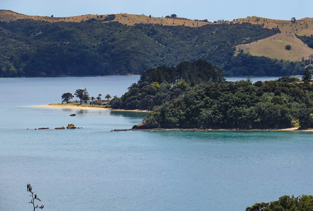
After a time, we hiked back up the hill and continued along the trail to another lookout called Mai Mai Lookout. Here, we found more fantastic views of this area of the Haruaki Gulf. Especially pretty was the sight of the beautiful green hills of Ponui Island overlooking a channel with beautiful shades of blue, ranging from soft teal to robins egg.

Below, panorama photos. You can click to enlarge them.
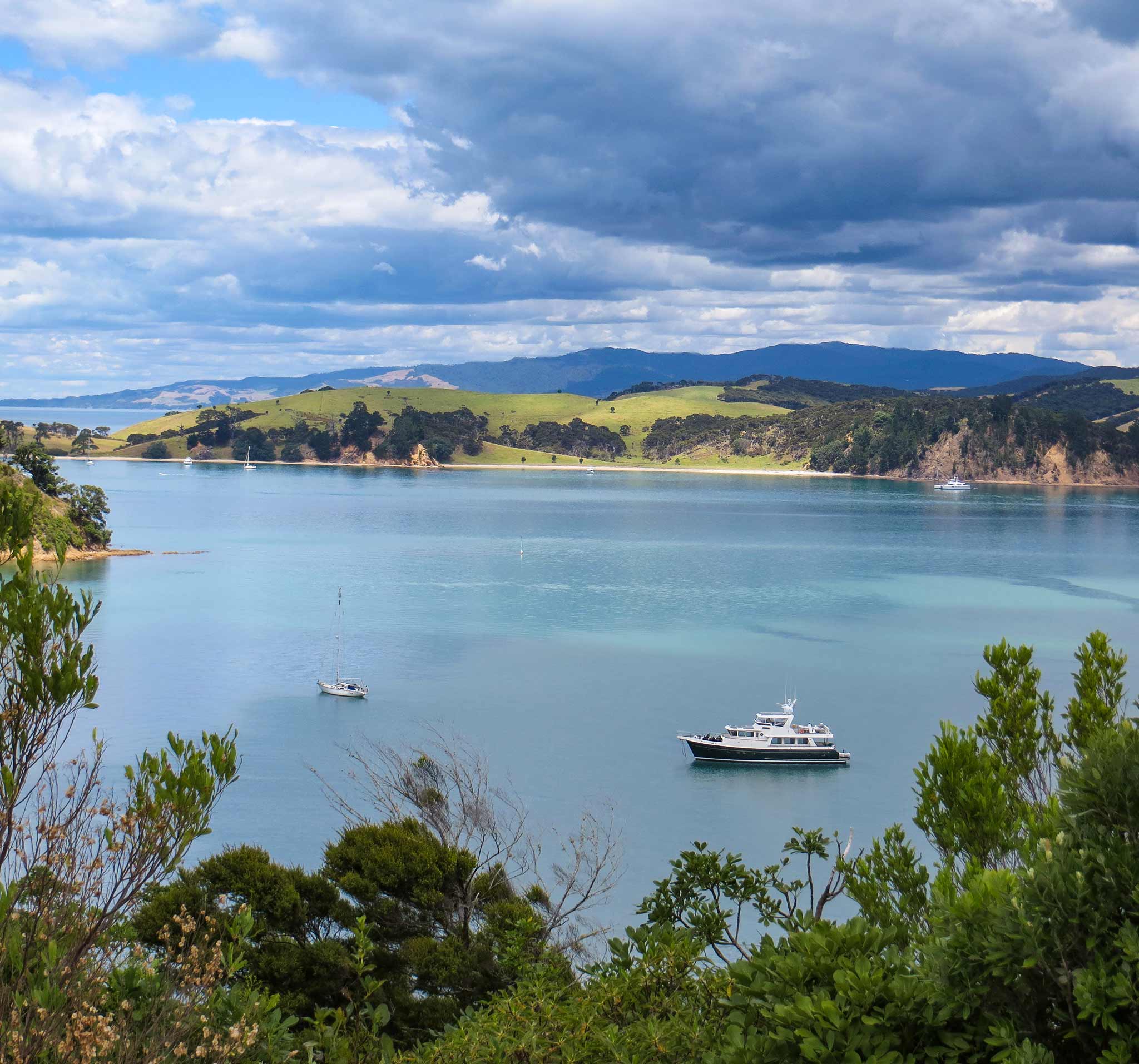
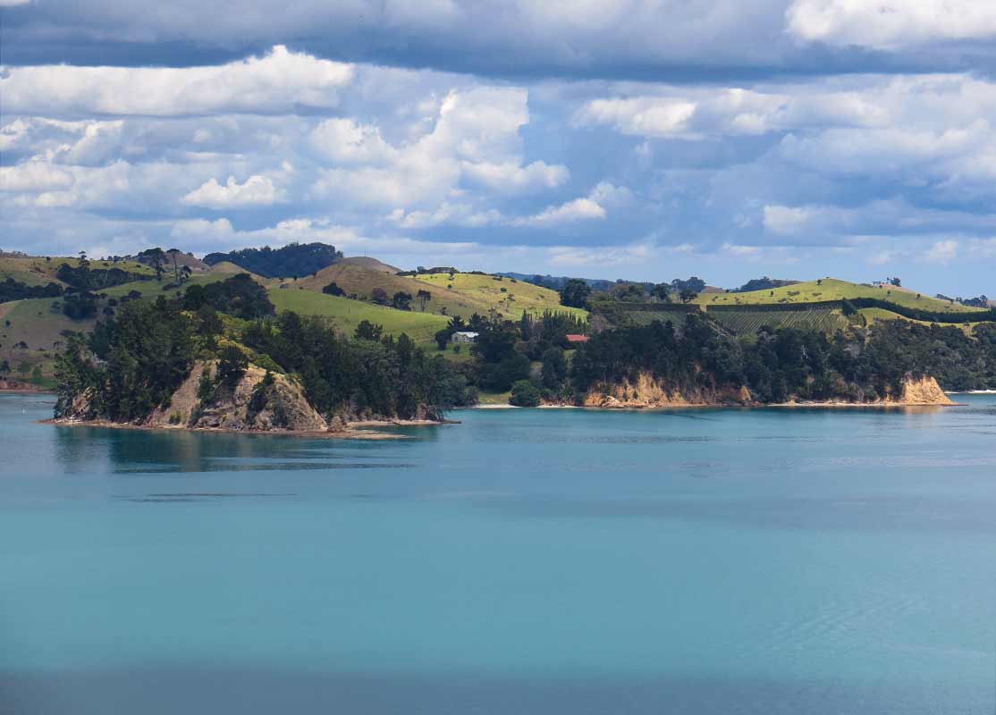
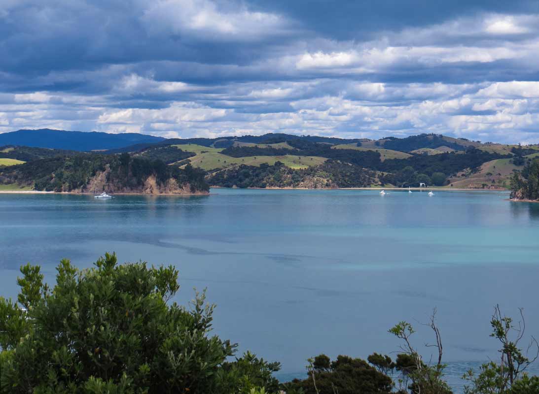
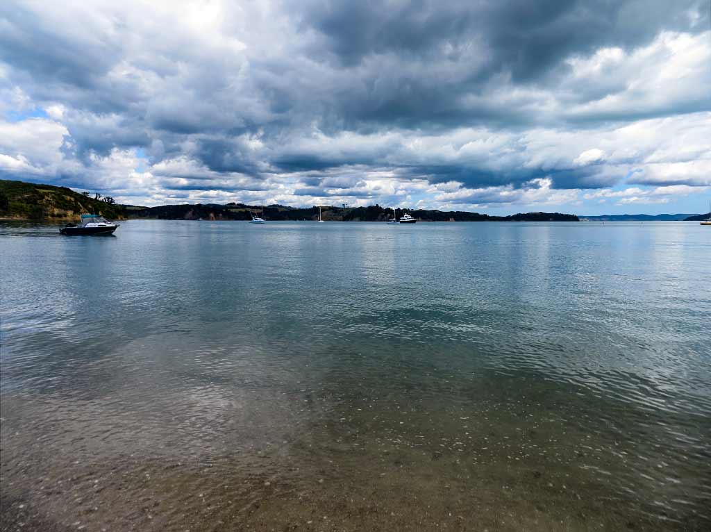
There are many beautiful vistas in the Haruaki Gulf, but I’m not sure any of them can match those of Rotoroa Island. We continued back to Home Bay where our boat was.
Once there, we stopped to watch a kiwi-like bird called a weka and chatted with a man who worked here. He told us about all the birds coming next, including big, flightless birds such as kiwis and takahes. It wouldn’t be long before Rotoroa would be in the league of other bird sanctuary islands such as Tiritiri Matangi and Kapiti.
What was neat to see is this island, having served as a sanctuary for the rebirth of so many, was now experiencing a rebirth of its own. It would be amazing to return in a few years and see the changes taking place.
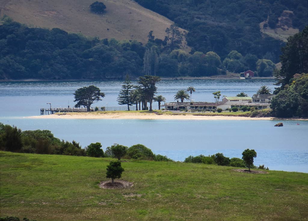
A note about Pakatoa Island: On our hike we got a pretty good look at neighboring Pakatoa island just north of Rotoroa. It, too, once belonged to the Salvation Army and was used for rehabilitation. Rotoroa was mostly for men, while Pakatoa was where the women stayed.
Since that time, the island had been sold and turned into a resort island with a hotel, golf course, and landing strip. The resort was now abandoned but a caretaker stayed on to watch over things. We ran into some cruisers who actually landed on the island and were welcomed by the caretaker who showed them around, but it’s generally known as a private (don’t visit) island. Occasionally the island goes up for sale; so who knows what will come of it in the future. Below, a couple of photos of the island and it’s resort.
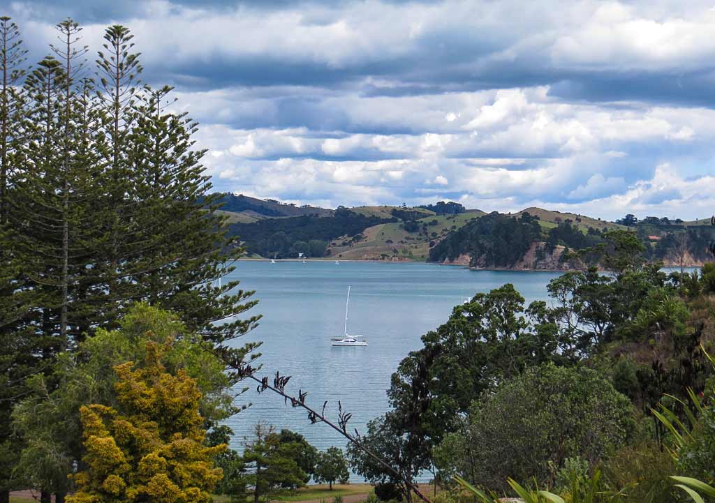
We headed back to our boat feeling very happy we’d visited this island, but we’d noticed the anchorage at the north end of Ponui Island had cleared out during the walk. Since it was so close, we figured we might as well head over.–Cyndi


