
February 9, 2014
Our next destination was Rotoroa, and little island not far from our anchorage at Man o’ War.
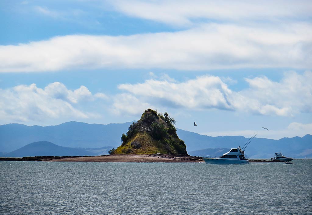
As we motored along we passed this tiny but striking little island.
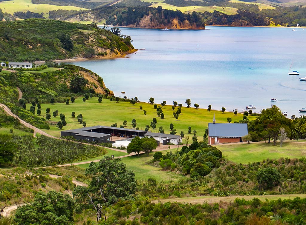
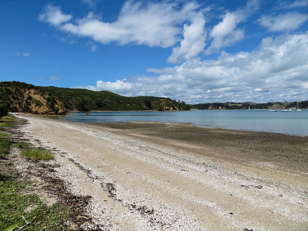
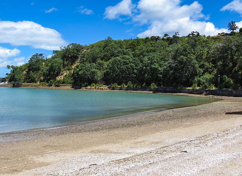
Soon after, we pulled into our chosen anchorage, Home Bay. Below, a photo of Home Bay taken from the island.
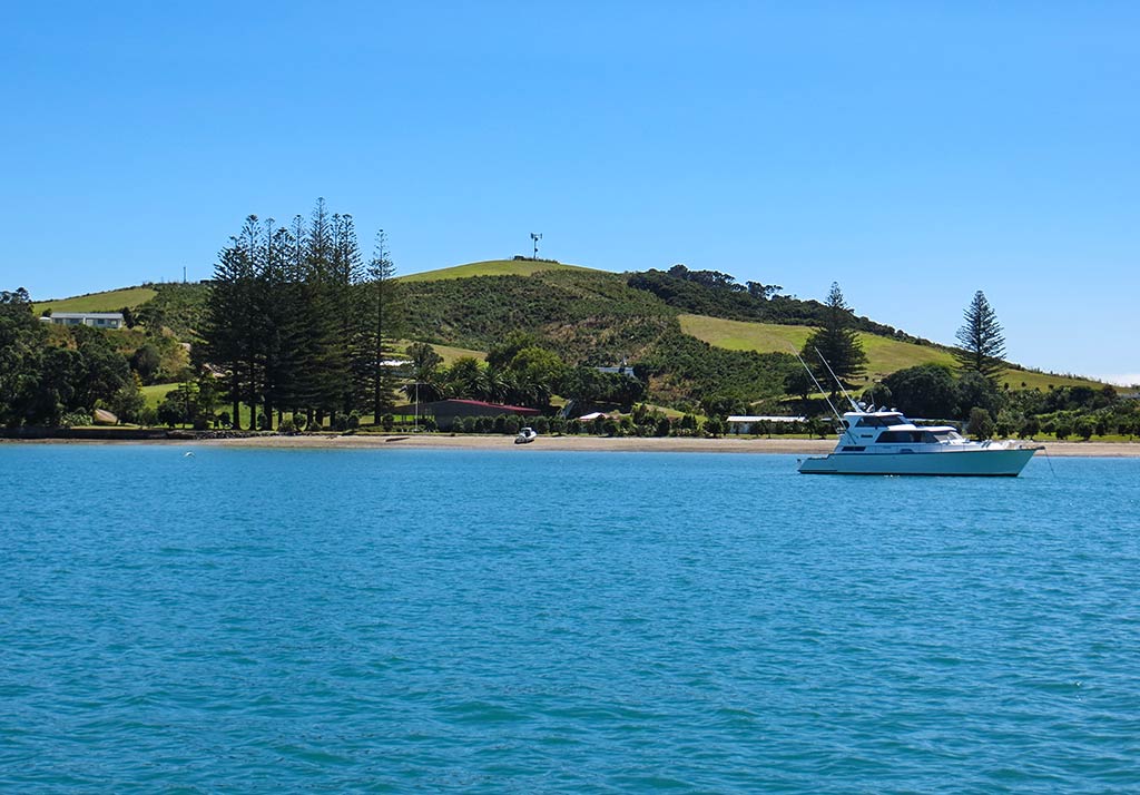
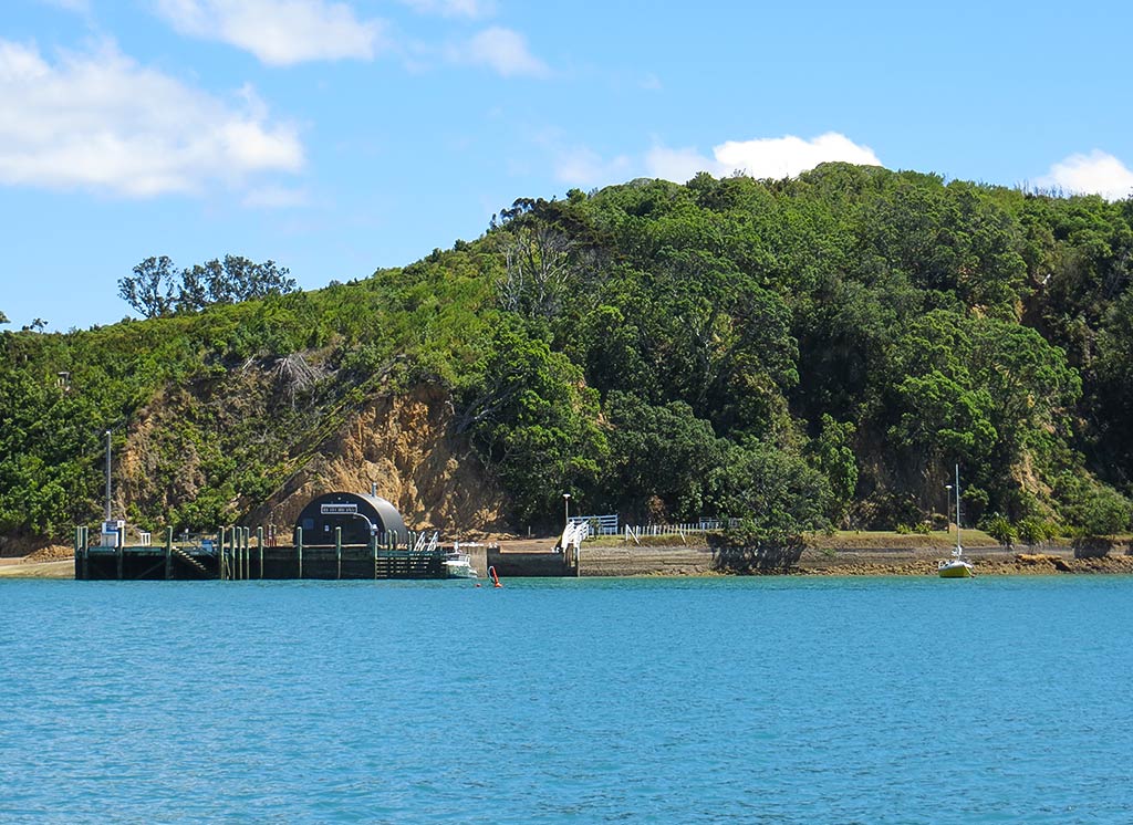
It was the end of a holiday weekend and other anchorages were crowded, but we nearly had Rotoroa to ourselves. Below, some photos of the anchorage (you can click on any photo to enlarge).
Rotoroa used to be private, owned by the Salvation Army who used it for an alcohol rehabilitation retreat. It was later purchased by a wealthy family who turned it into a conservation park. The idea: take this grassy, cow-pasture island and rejuvenate it with native trees, plants and birds. The process would take years and was ongoing, but things were coming along nicely, the new trees and plants growing and native birds slowly being introduced to the island.
It hadn’t been open to the public all that long, and we didn’t have any good information about the rules for visiting the island. After we anchored, we got in our dinghy and headed over to the other boat in the anchorage to see what we could find out. They said this is a wonderful place with pretty beaches, nice hiking, and an interesting little museum. There was a $5 pp fee to visit the island (and an honor box in which to leave it), but they assured us it was well worth the price.
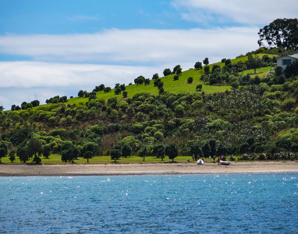
So off we went, beaching the dinghy on a long, whitish pebbly beach. From here we were surrounded by views of nearby islands, especially Ponui only a mile away and Waiheke Island not much further. With all the islands, the ocean was calm and still here, the feeling very peaceful and quiet. Between the striking scenery, peaceful bay, and the glowing warmth of the summer sun, it seemed odd there weren’t more people around. It felt like we’d stumbled into some sort of secret place.
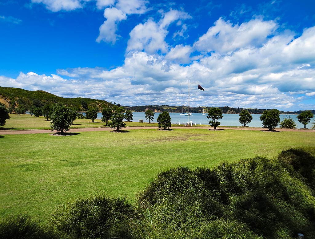
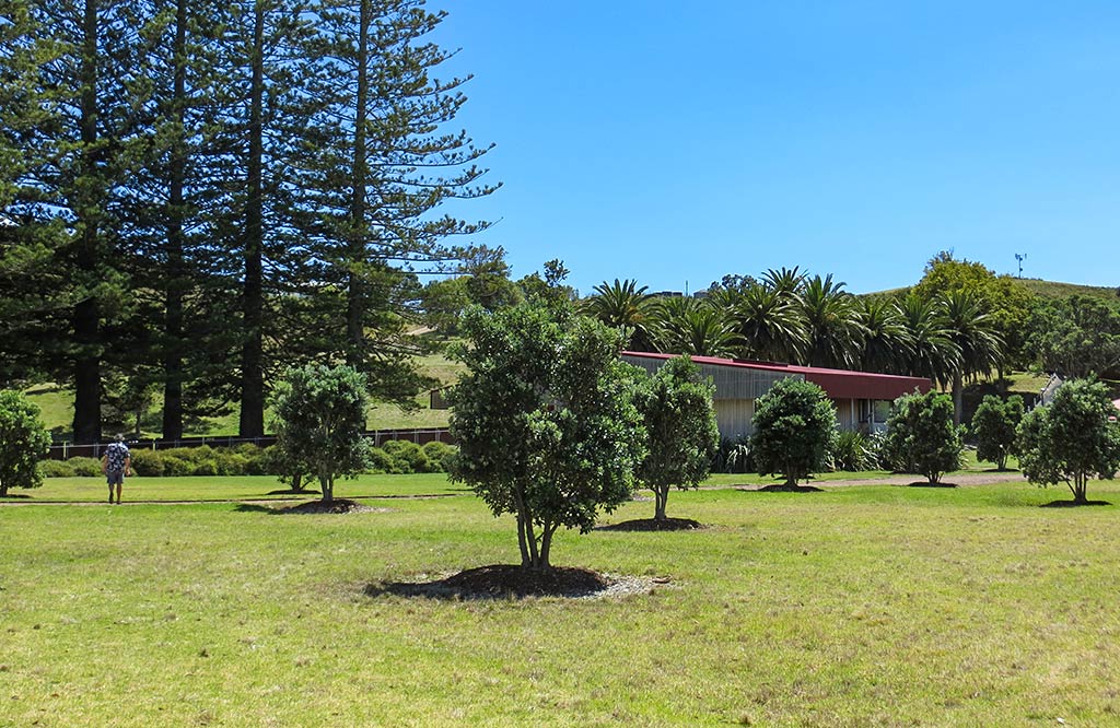
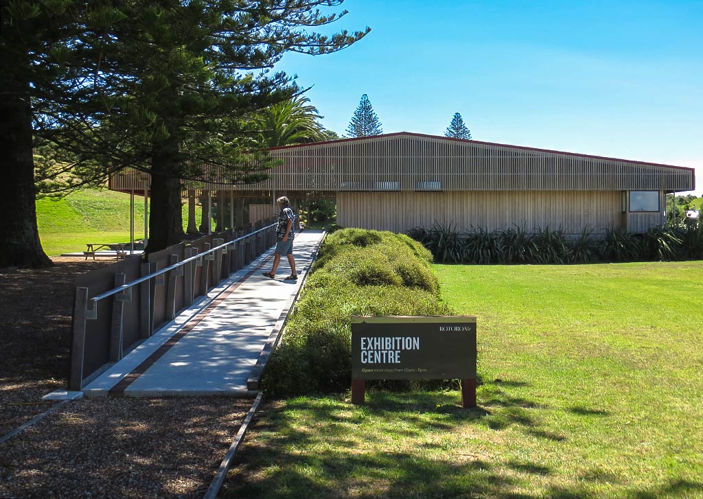
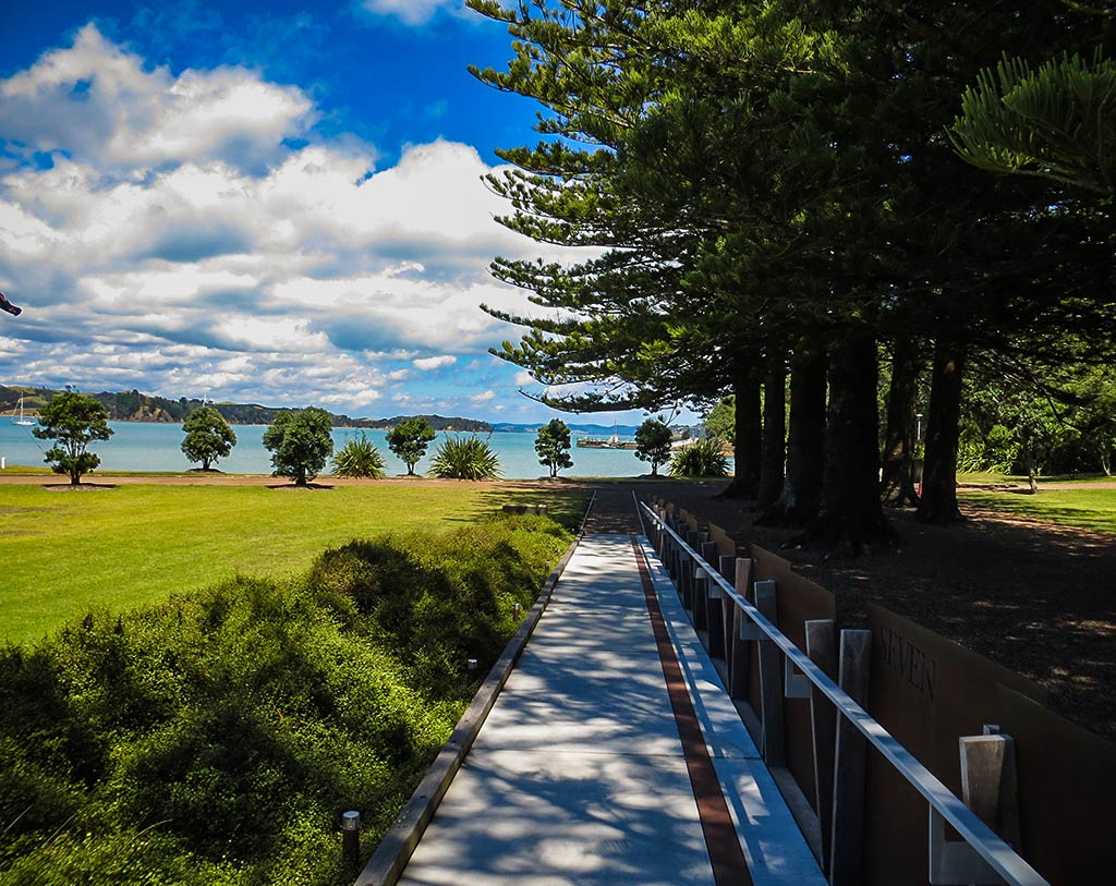
As we walked further ashore we could see this place was rather unusual, looking very new with a sizeable area of manicured landscaping. There was a large lawn and planted trees, yet some older trees from the island’s previous incarnations remained, including a row of big pines leading to the exhibition center and a thick grove of Canary Island date palms. These weren’t native, but the decision to incorporate them was wise in that they made a striking look for this gateway to the island.
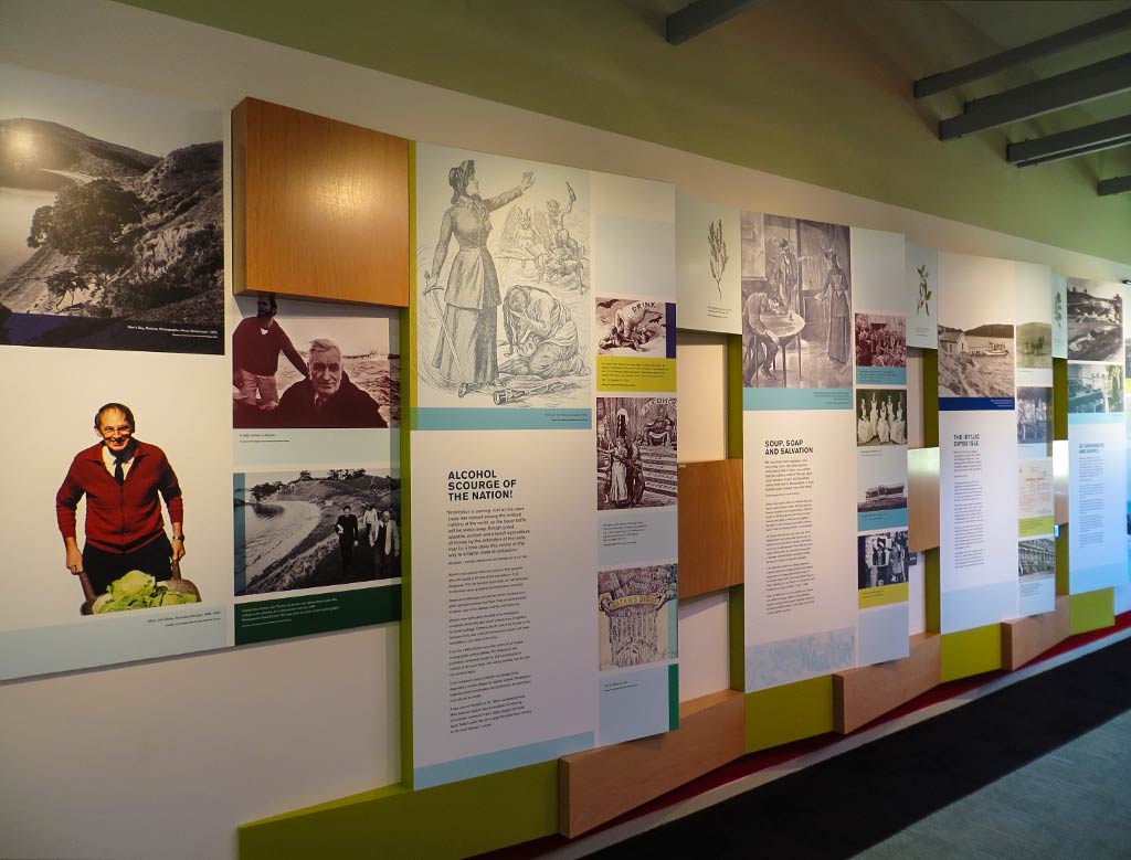
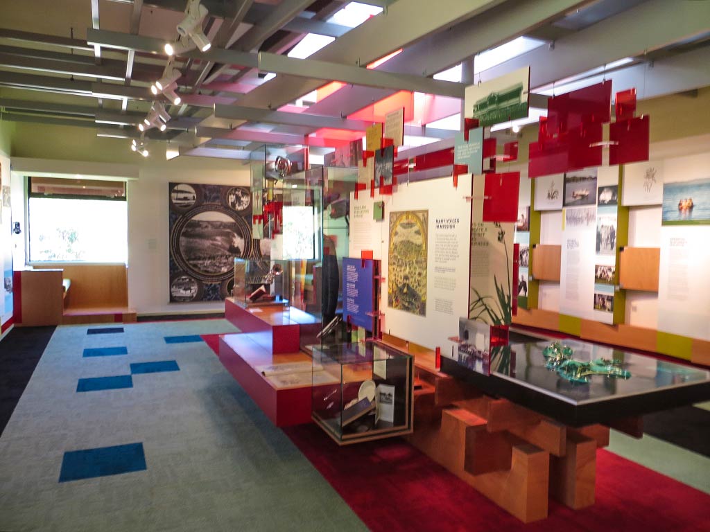
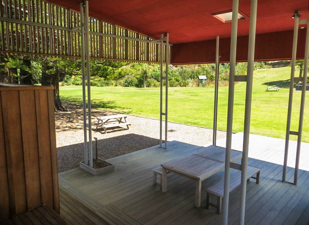
We walked to the little museum/exhibition center and were rather surprised to see its beautiful modern design. It was small, but it seemed they spared no expense on the architect. Inside were exhibits describing the history of the island and the rehabilitation program run by the Salvation Army. We also learned about the new plants and the native wildlife yet to come. In all this seemed like an impressive operation.
We went to study the trail map and had several to choose from; but it was an easy decision to choose the ones with the prettiest beaches and views. And so we set out on the North Tower Loop Track, tacking on the Mai Mai Bay and Mai Mai Bay Lookout tracks (about an hour and 15 minutes in all). –Cyndi


