July 30, 2012
Our plan today was to head down to the south end of the island to Avea, about a 10-mile passage inside the reef. We started the day by going into town to buy some food, and I was shocked to find the sleepy town of yesterday was now crowded with people and cars. Yesterday it reminded me of sleepy La Paz; today it felt more like Tijuana and had lost much of its charm. We were glad to be heading south.
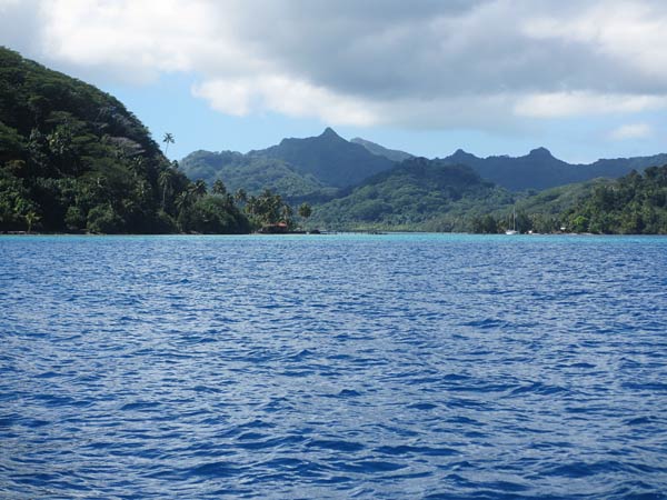
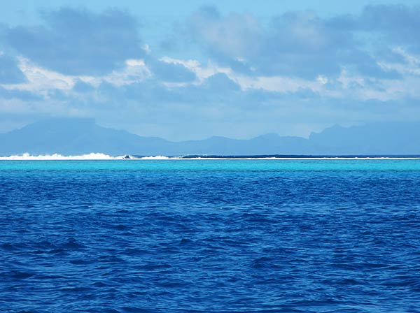
We got back to the boat and got on our way, motoring down inside the reef. It was pretty wild to be motoring along with a lush green island on one side and the fantastic light blue and green bands of water over the reef on the other side (colors made almost neon by our polarized sunglasses). Waves pounded the outside of the reef, but the water in the passage was perfectly calm.
It was a hot day, and when some clouds and a breeze came up it felt nice, but it made obstructions in the water less visible. Most of the passage was well marked and charted, but there were a couple of areas where we had to maneuver to avoid some obstructions, and this was stressful. We saw some areas where we could anchor, but nothing looked as appealing as our destination so we kept on.
Our stress ramped up sharply as the last quarter mile or so before the anchorage was much less well charted. It was still marked with guideposts but only had random markings for depth, meaning we’d be on our own to spot bombies (little coral hills below the water) and large rocks. Lots of boats make this passage and we knew it was probably fine, yet there were some spots that terrified us. The water would get dark with rocks or light with coral and there was no way of knowing for sure that it was deep enough. I got on the bow and did the best I could at gauging depth. In all, it was deep enough, but that part of the trip could be sponsored by Valium, not that we have any. Drinks later in the cockpit would have to do.
As we headed to the final turn into the bay, a sailboat was heading up behind us fast. Obviously that person knew his way around so we slowed down to let him pass, then gladly followed him the rest of the way.
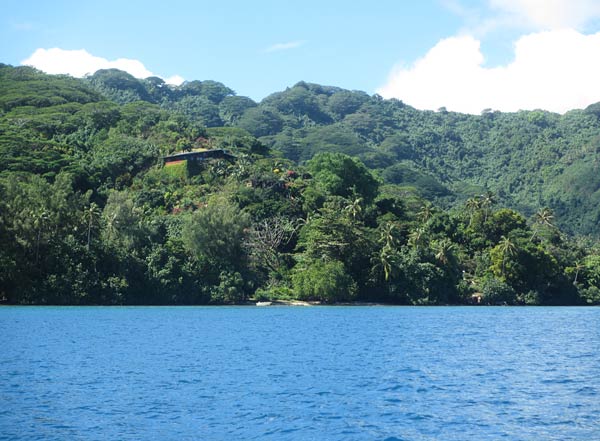
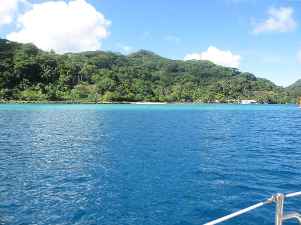
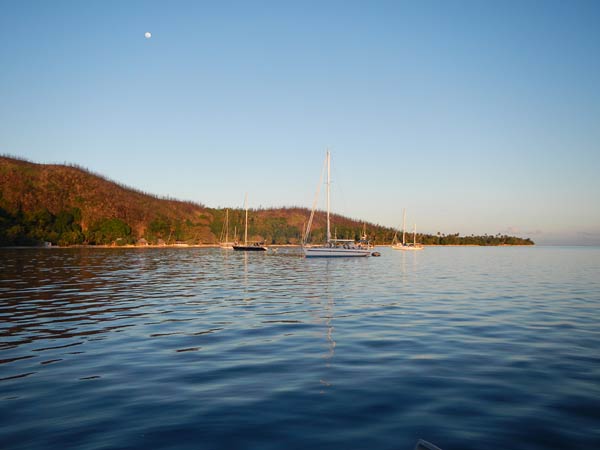
When we went around the corner into the bay, I was a bit taken aback at how dry it seemed and made a remark that we had cruised to Woodland Hills. (Not that there’s anything wrong with Woodland Hills; it just isn’t what you expect to find on an island in the tropics). We looked around, and while it was a perfectly nice bay, it didn’t seem worth the heart palpitations we had suffered through getting here. Rich asked me why this anchorage was supposed to be so special, and I realized the guidebook hadn’t specified why. So our question became, “Why is this place special?” Or more specifically, “Why are we here?” We went to go ask the boat we had followed in, and we were shocked to find out it was his first time here, too; he had just trusted that there would be no shallow rocks in a marked passage as he had barreled through. He didn’t know why we were here either. We asked a couple on another boat, and they said they had tried to find good snorkeling but hadn’t found it yet. So we went ashore in search of the reasons this place has such a good reputation.
