A season of burnout, breakdowns, and unexpected anchoring. A personal look at what happens when the adventure needs a pause.
Written April 2 and posted April 12, 2025
If you’ve been following our blog, you may have noticed our posts tapered off a few months ago. You may have wondered why, and I’ve been wanting to post an answer. The problem: I haven’t really had an answer. Or more accurately, I’d land on one answer—until it was replaced by another, and then another. So I ended up with an impressive pile of answers—but no posts.
I finally feel ready to return to the blog.

But jumping back in like nothing happened doesn’t feel quite right. At the same time, my pile of thoughts and issues is so big that trying to sort through it all in one go feels overwhelming. I do want to share these things—but they’ll need to come in smaller, more manageable pieces.
So in this post, I’ll start with the instigating event. In my view, this is one of the most important—and most often overlooked—aspects of adapting to long-term cruising. To put it simply: it’s the need to balance a lifestyle that includes lots of travel and novelty with periods of sameness and routine. The human brain can only handle so much new information before it needs a timeout out to assimilate its experiences.
What makes this seemingly-simple concept complicated is not only do people vary in their capacity for assimilating new experiences, but each person’s capacity can vary quite a lot depending on their circumstances. What works to maintain a balance one year might fall short during another.
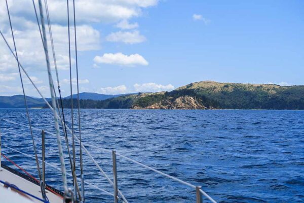
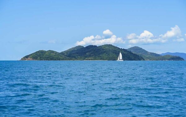
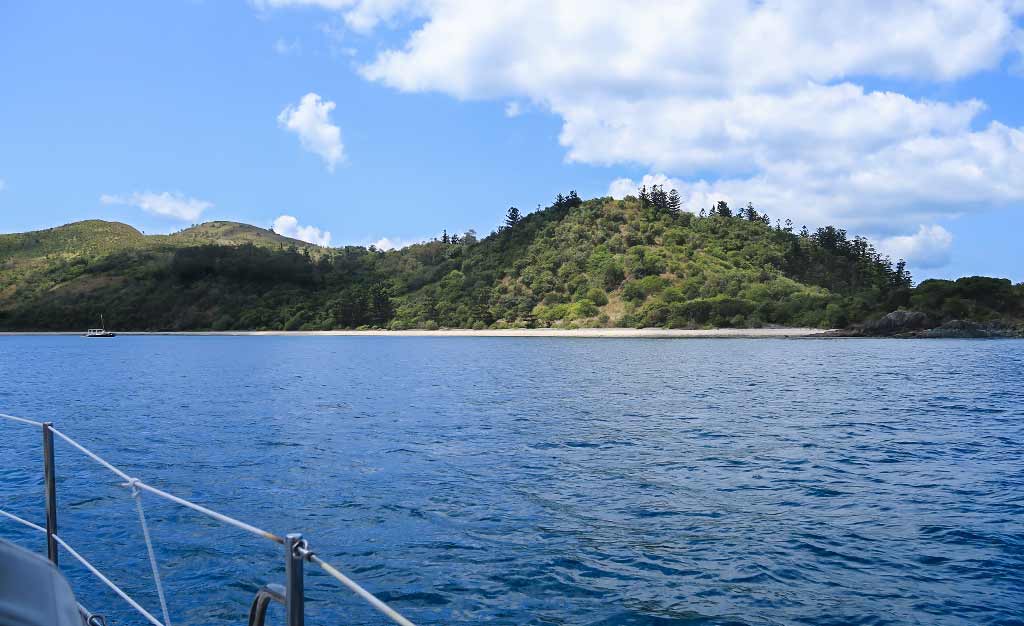
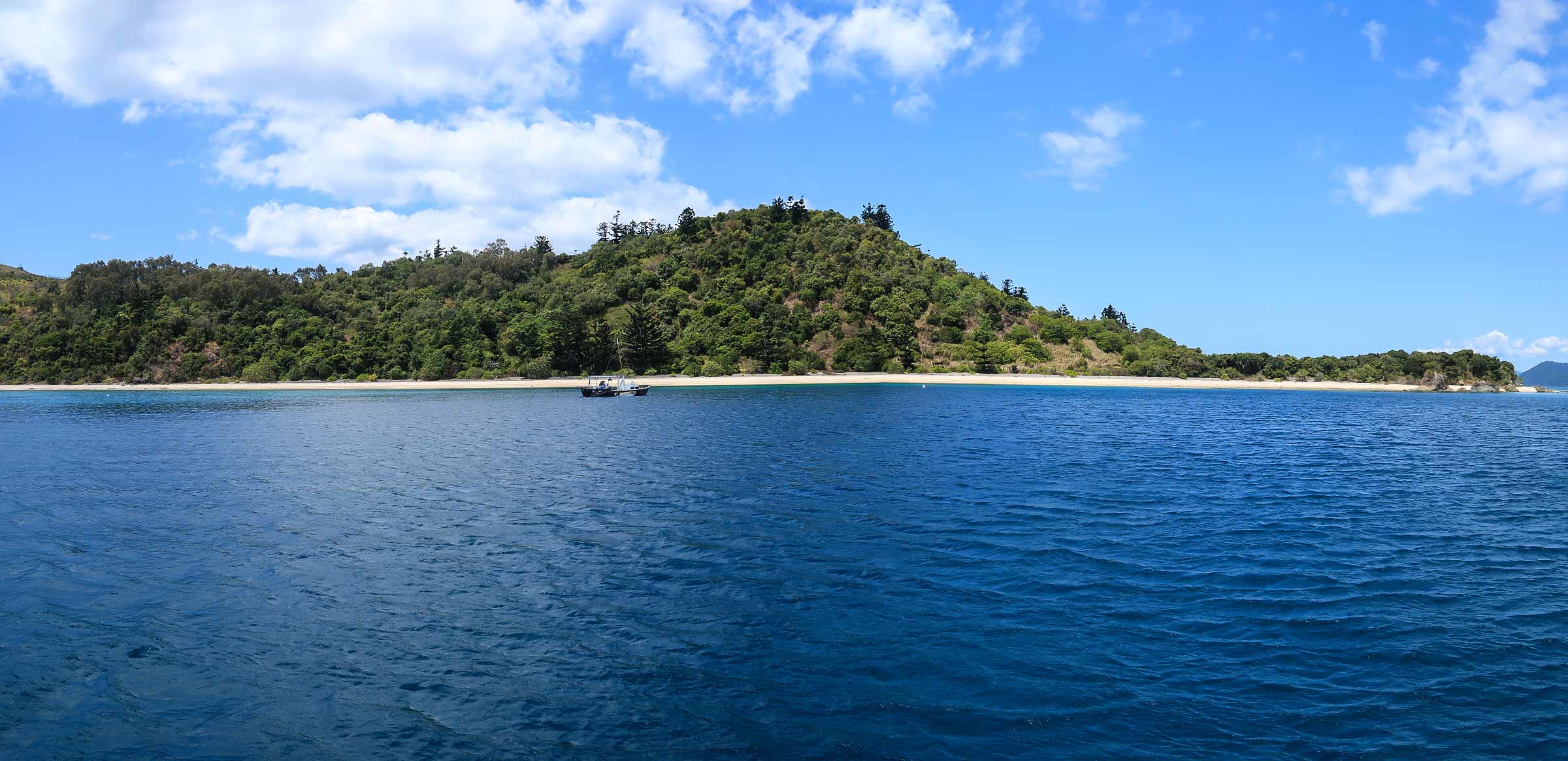
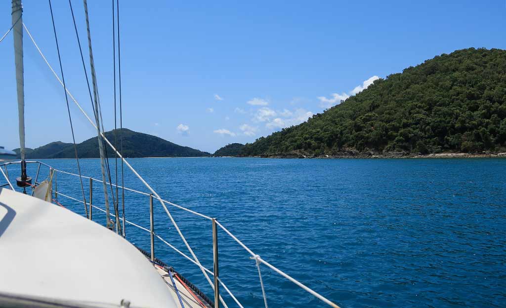
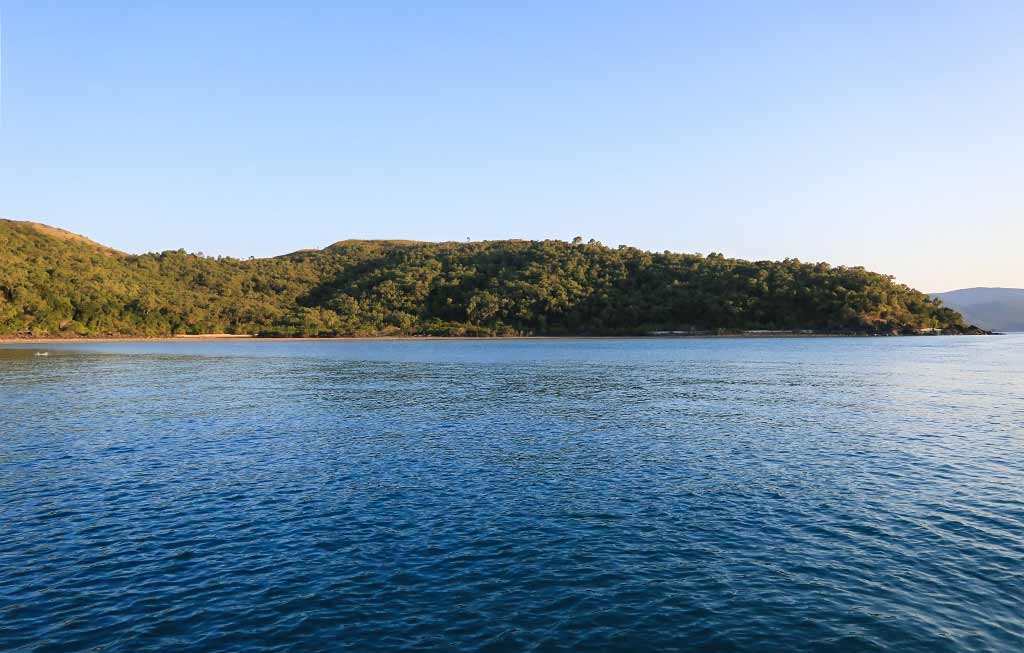
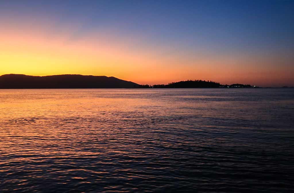
In this particular case, we’d been making our way south through Indonesia to the island of Flores. The trip took several weeks and involved many day-long hops, a couple of overnight passages, and a few brief stays. At this point, the plan was for us to take a break for awhile, settling in near the town of Labuan Bajo, giving us a chance to mentally catch our breath and figure out our next steps.
That plan crashed and burned when Rich took an instant dislike to the area and wanted to head further south immediately. I proceeded to have what used to be called a nervous breakdown—now more gently referred to as a “mental health crisis.”
I’ve always pictured nervous breakdowns as screaming, crying events, but actually it’s a quiet process. Like an overloaded electrical circuit, the brain trips its breaker to protect itself. In the case of the human brain, the overwhelmed unit switches off from its usual functions: thinking, planning, managing, forecasting, strategizing, and reacting; and goes into a quiet, depressed mode.
During the week that followed, I functioned just well enough to get by, but emotionally I spent time, “Lying in bed just like Brain Wilson did” (Brian Wilson by the Bare Naked Ladies is great song if you haven’t heard it).

Rich thankfully relaxed on his urgent need to leave, and instead we focused on prepping to cruise nearby Komodo National Park, after which we planned to return to Labuan Bajo and take the time we needed to plan the upcoming season.
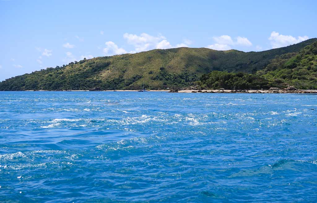
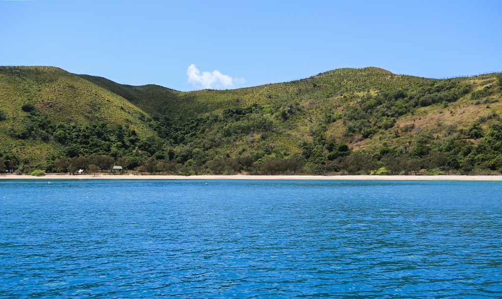
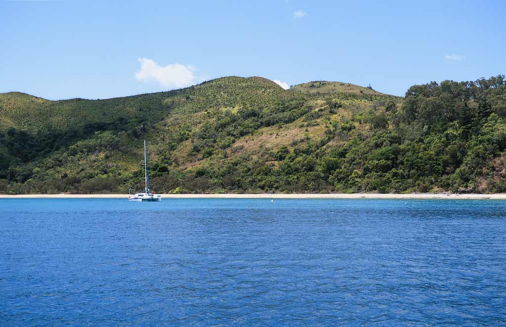
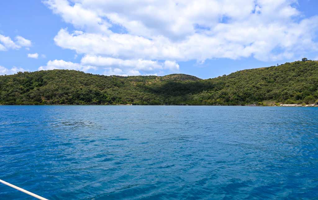
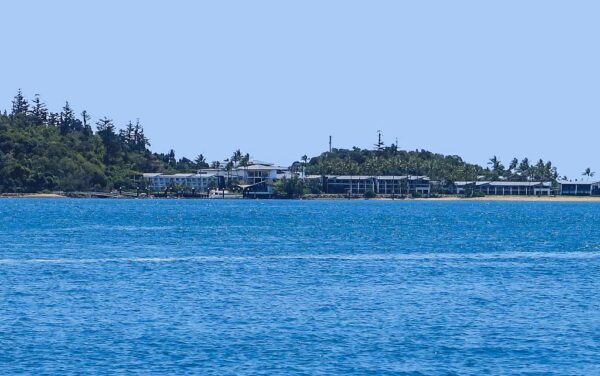
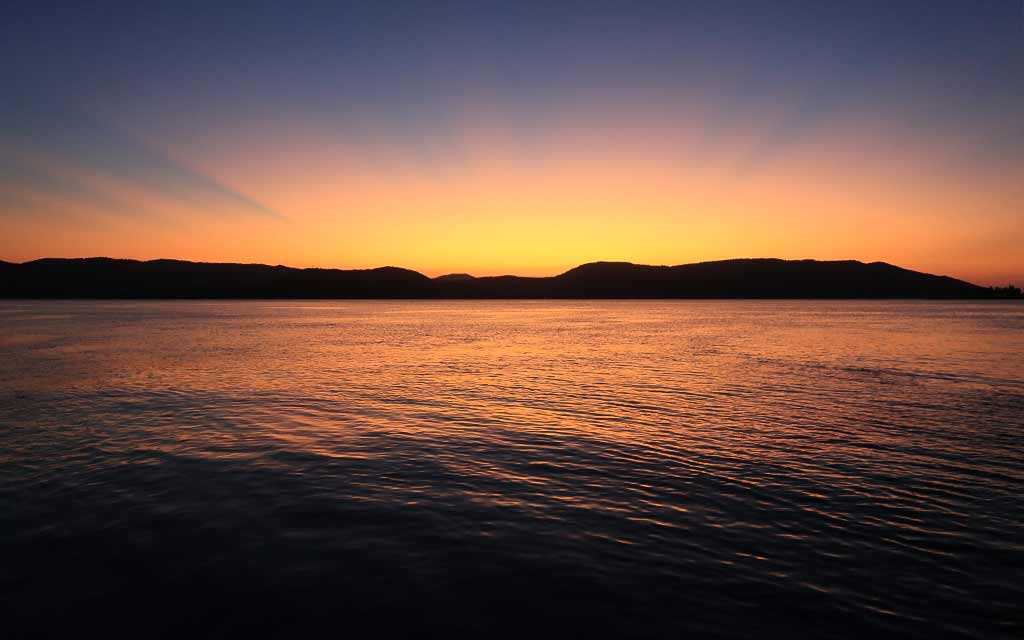
Ironically, we ended up spending a few months in Labuan Bajo. There were several reasons for this, but the main one was Rich came up with an idea for an app. We’d been considering ways to bring in some income, and this idea seemed the most promising. But for Rich to develop the program, we’d need consistent access to good internet and a nearby town or city. Labuan Bajo could provide what we needed, maybe not perfectly, but well enough. We decided to pause our travels and focus on building the app.
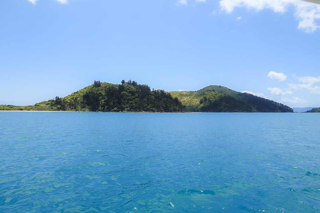
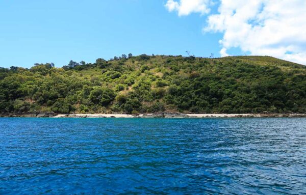
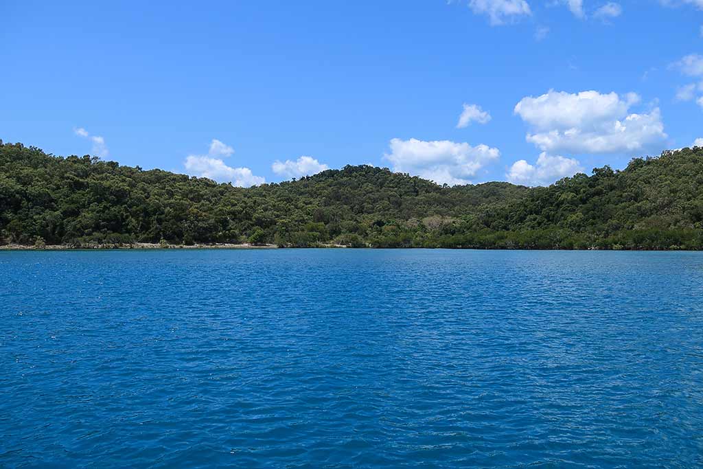
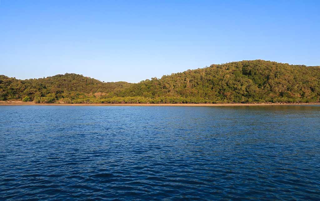
As it turned out, we would come to love some aspects of our Labuan Bajo life after settling in an anchorage that suited us.

I certainly got the time-out from cruising that I needed, but other parts of life stayed challenging—some of the ‘answers’ I mentioned earlier—and just too much to squeeze into one post.
To sum it up, the past few months have felt like a perfect storm: Covid PTSD, societal upheaval and stress, and old life memories bubbling up—probably age-related. Also, I was feeling out of sorts in my relationship with humanity, leaving me feeling blocked from sharing our experiences—something I usually love to do. I ended up suffering through many mood swings that came from traveling down this bumpy life road.

I want to make an observation that this seems to have been a tough era for many people. Something in the stars, maybe? Or perhaps it’s a particularly challenging time to be alive on this planet.
As I write this, we are in Bali and preparing to fly out of the country to renew our Indonesian visa. Maybe we can renew ourselves, too. — Cyndi