The New Zealand Coast: Mimiwhangata Bay’s North Bight

December 2013

The red dot shows where we anchored in Mimiwhangata Bay.
The red dot on this Google map shows where we anchored in Mimiwhangata Bay.

I had hoped to get to Mimiwhangata this season after we had to pass on it during our previous trip because of unsuitable conditions. This time, the weather cooperated, and we’d be able to go and anchor for a night.

Mimiwhangata (pronounced Mimi Fangata) Peninsula sticks out of the side of New Zealand about 4 miles south of Whangaruru Harbor.  This arm of land forms a north-facing bay about a mile and a half wide, and what makes it special is its long stretch of beautiful white sand beach.

The bay is somewhat sheltered by a headland that curves inward at its end, but it only offers marginal protection against ocean swells.  It’s a place best visited in settled conditions.  We went to the most protected place, the small bight right behind the headland, carefully going in as far as we dared as it’s shallow and has some large rocks.  This bay was smaller, but it had its own white sand beach and a grassy green hill begging to be climbed.

Once anchored, we went ashore to hike up the hill and check out the view.  It looked like an easy climb, but hidden under the thick grass was ground so uneven it was surprisingly hard to walk.  It was as though the hill were made up of thousands of years of petrified cow poos.  We persevered and found beautiful views of both the bay and the ocean to the east when we reached the top.

Walking down the hill was even harder than walking up, and it was a relief to get down with no broken ankles.  We decided to stay away from these hills and just enjoy walking on the beaches.  After a stroll along our lovely little beach, it was time to get into the dinghy and take a walk on Mimiwhangata’s main beach.

Below is a gallery of pictures of the beach at North Bay and our hike up Cow-Poo Hill. Neither this little bay nor the hill have names so I named them myself.

Click to enlarge any or all. –Cyndi

Legacy Rounding Cape Brett Again

December 13, 2013 in New Zealand

Today, we motored around Cape Brett in very light winds and calm water on our way to bays further south. It was so calm that we got a chance to stop for some sight-seeing at the famous Hole in the Rock off of Cape Brett.

Hole in the Rock off of Cape Brett, New Zealand.

Now we’re the only boat anchored in Mimiwhangata. Wow, what a beach!

Entering Mimiwhangata Bay, New Zealand.
Three quarters of a mile of pristine beach (and attack Oyster Catchers - more on that later).
Three quarters of a mile of pristine beach (and attack Oyster Catchers – more on that later).

In keeping with our Bay-A-Day pace, tomorrow we’ll probably head further south – maybe Tutukaka. We’re having fun! -Rich

A Quickie Guide to Our Favorite Northland Anchorages

December 2013

We know a lot of cruisers who skipped the season in Fiji last year, and we plan to write a quickie guide on what we’ve learned about the middle and east side of those islands (we never got west of Suva—that’s for next season).  In the meantime, we realize a lot of our friends had only a short time in New Zealand, or saw all of it quickly and are back now to see more.

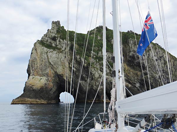
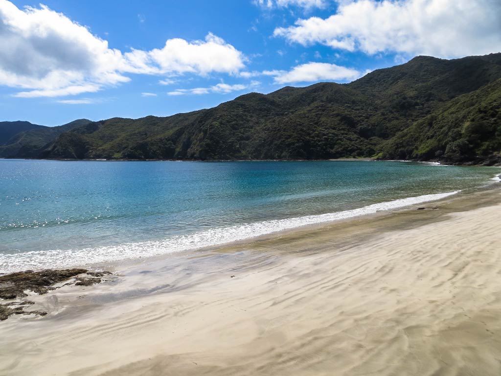
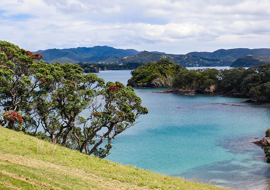
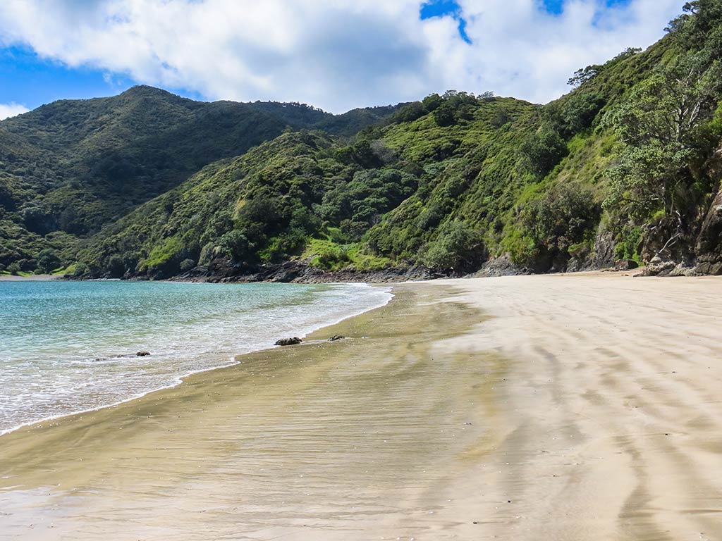
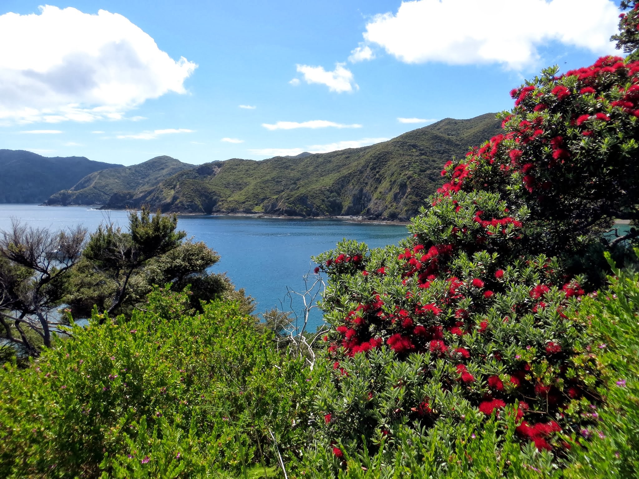
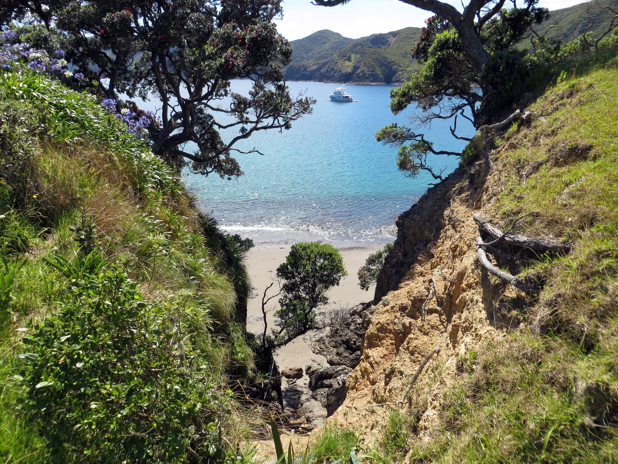
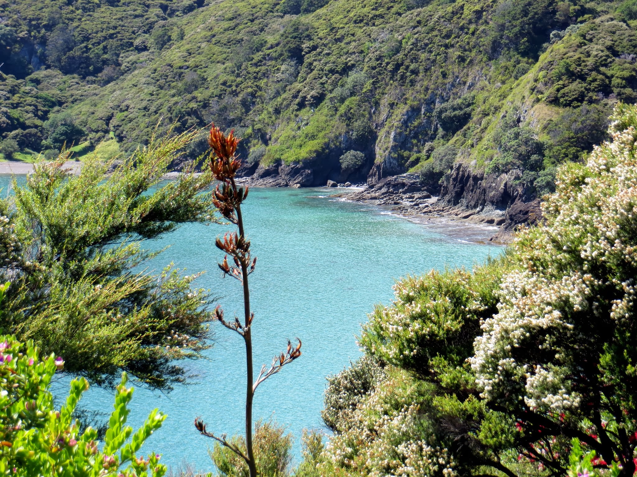
We opted to cover less of New Zealand as we plan to come back a few times.  Basically, we’ve seen and cruised much of the north half of the north island, and maybe our experiences can benefit someone else.  This is one reason we do a blog, but since someone is, uh, a little behind, and it’s a big blog, here’s a really condensed version of our favorite anchorages in the Bay of Islands, Whangaroa and the Cavalli Islands, the Mainland Coast.  (A second part for the Hauraki Gulf, Great Barrier and Great Mercury Islands should come soon.)

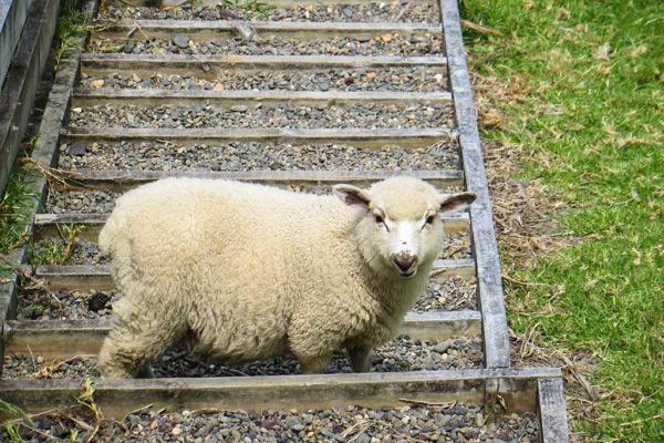
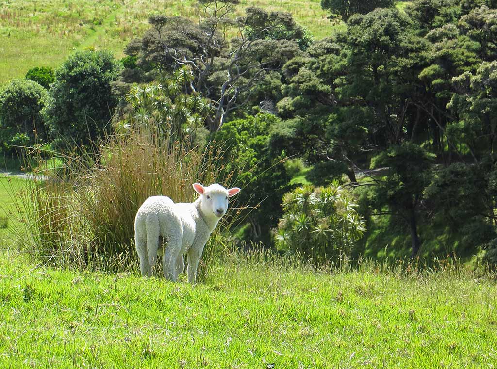
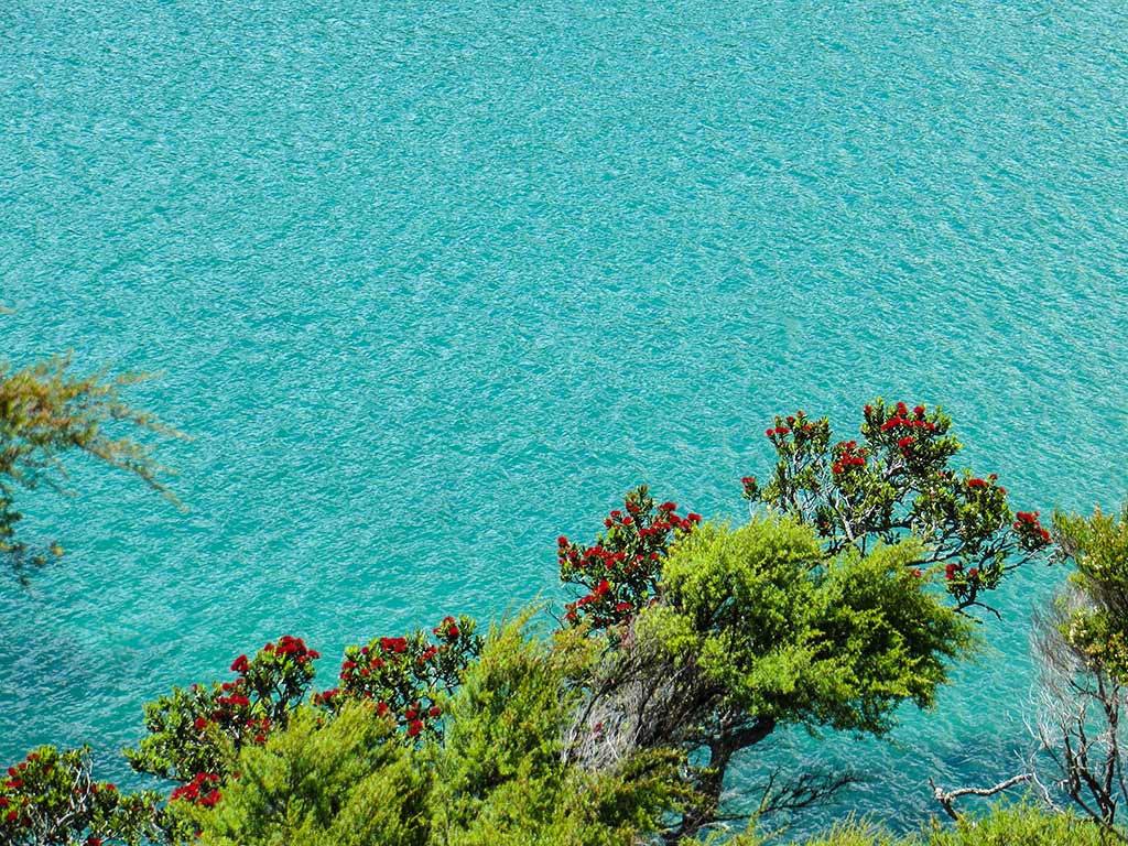
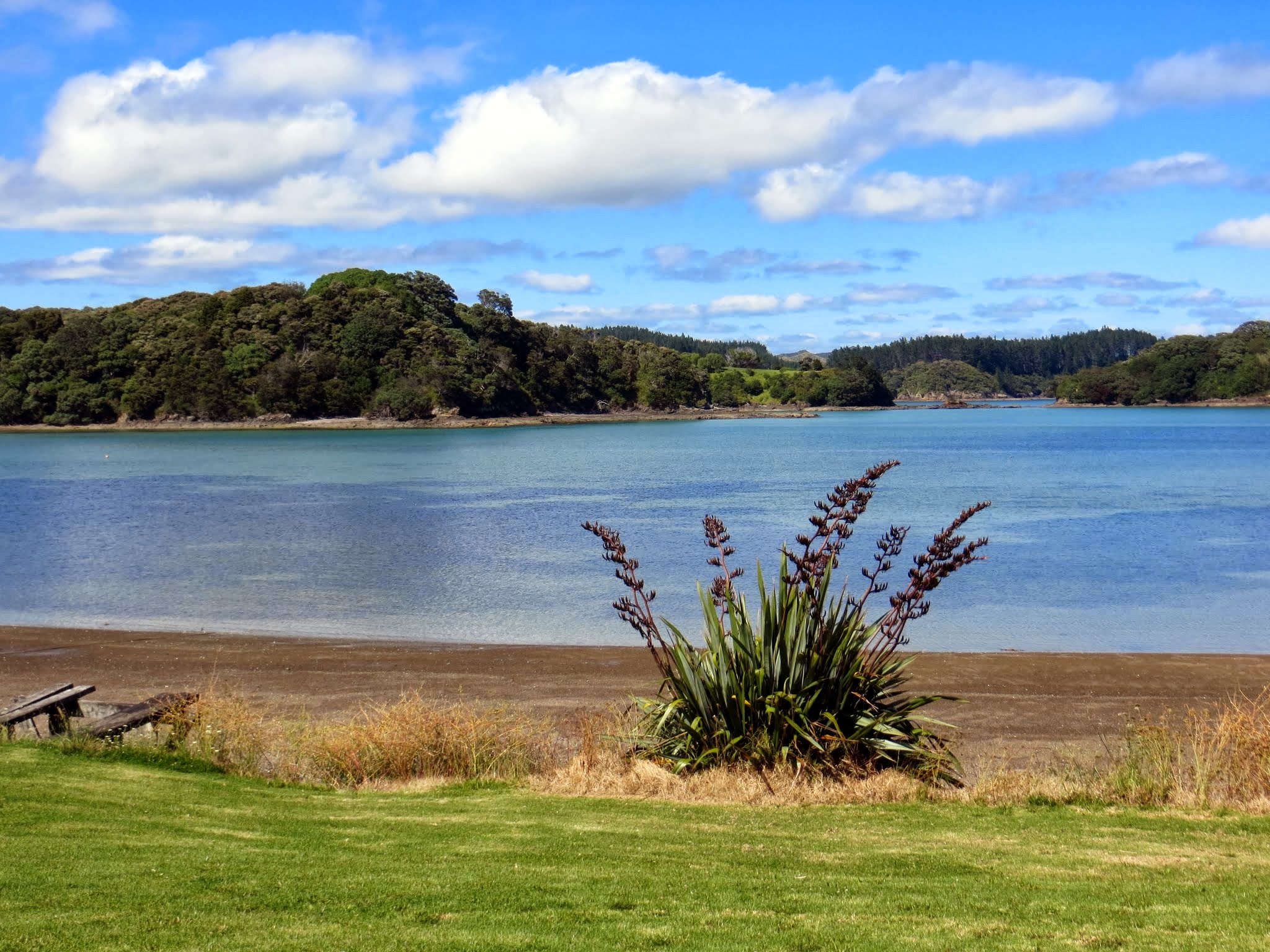
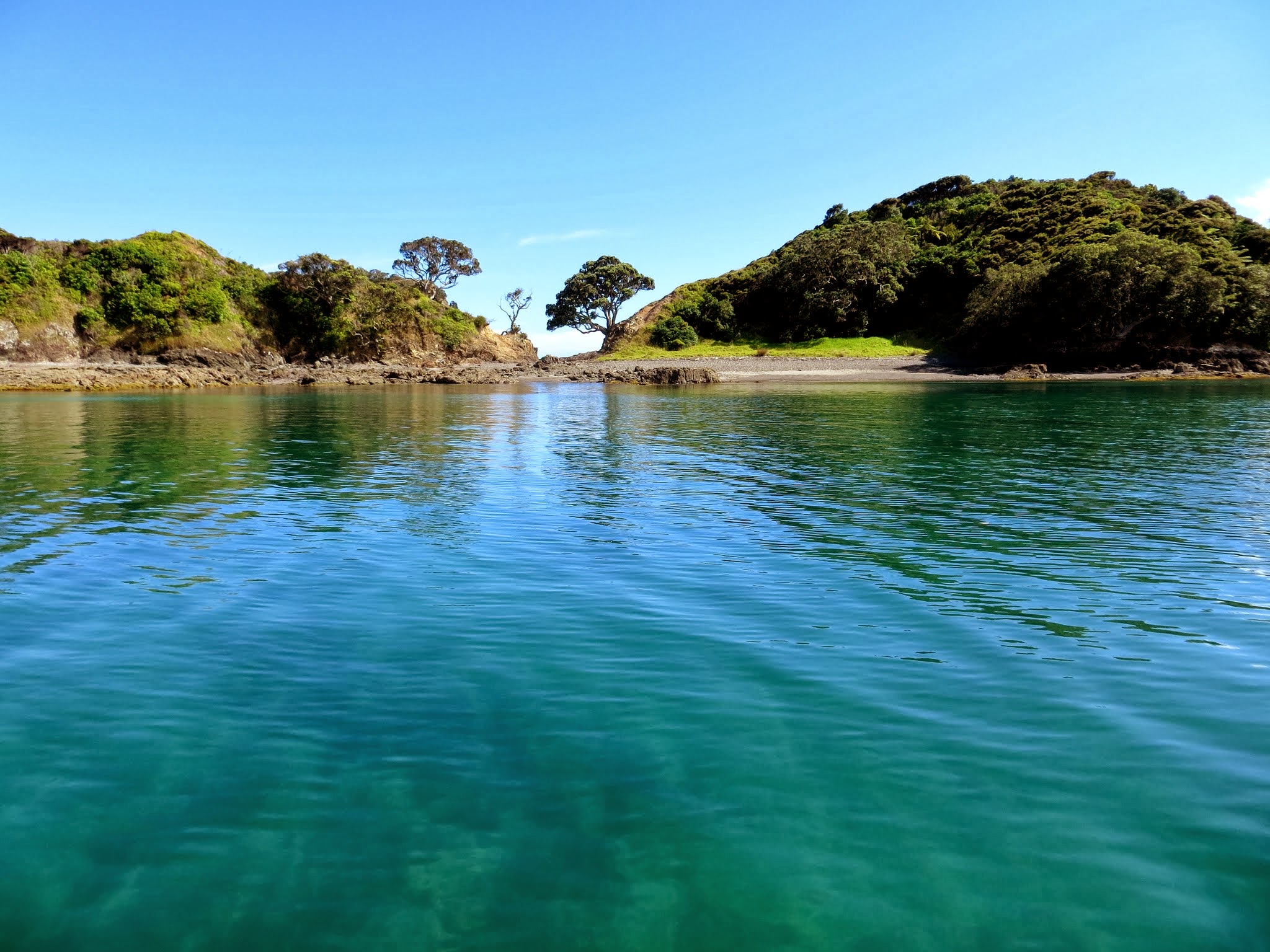
Note:  Everyone has different things that “float their boat,” and I will caution anyone reading that what attracts us to an anchorage most is its beauty.  Historical sights are interesting, but for us they aren’t reason to choose a bay.  If you are into gun emplacements, Maori pa sights, “authentic” cultural or intellectual experiences, this probably won’t be that helpful.  My personal slant is birds, especially rare birds.  And wine. If an island has rare birds or wine, I have a hard time being objective.

Before I get to the maps; there are some things we’ve learned to watch when cruising New Zealand:

1. Keep an eye on the weather and have a plan B.  We check the weather in the morning to make sure there are no surprises, and in the evening so we can adjust our plans if need be.

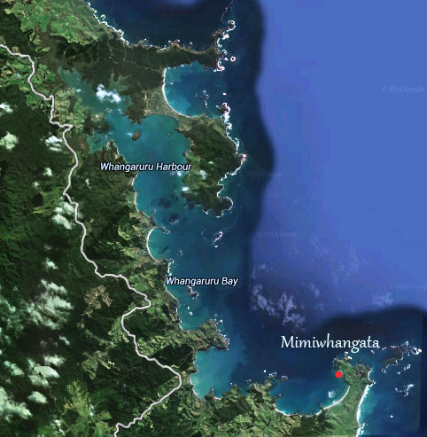
2. Beware of Silly Season, the Kiwi name for the Christmas and school summer holiday period. Christmas here is like the Fourth of July in the US when people are out on their boats in droves.  Unfortunately many of the best places (the Bay of Islands, the Hauraki Gulf, Great Barrier and Great Mercury Islands) will have crowds; so if you’re out cruising at this time, strongly consider going somewhere off the beaten path.  Whangaroa, north of the Bay of Islands, is a gorgeous area that is less crowded during the holidays (so we’ve been told).

Silly Season starts mid-December, but from what we’ve seen (and had confirmed by Kiwis we’ve talked to), things don’t really get going until December 26.  The most crazy period lasts until the end of January, but it does linger into February as it’s still summer.

3. Beware that Kiwi anchoring practices can seem pretty bizarre.  When Rich and I go to the effort to drop and set our anchor, we will almost always be spending at least one night. Kiwis, on the other hand, seem to enjoy a different anchorage for breakfast, lunch, dinner and overnight.  It’s like musical chairs; I have never seen so much coming and going!  Don’t assume because an anchorage looks full from afar that there won’t be a spot opening up at any moment.  So often Rich and I head towards a particular spot in a bay, and just as we approach the boat in that spot picks up and leaves.

Also beware that some people here like to anchor too close; to a point it seems crazy and you can’t imagine what they’re thinking!  You have to be prepared to go out and yell, or at least do the anchor stare.  Our theory is they’re used to sailing during Silly Season and are actually queuing in an effort to make room for the hundreds of boats (in their mind) due any minute.

The American way of anchoring is if there’s someone in one area of a bay, you head to a different area of that bay.  The next arrivals fill in any spaces in between leaving enough space for at least 4:1 scope or more depending on conditions.  Many Kiwis, on the other hand, see the first boat as starting a row or a line and will anchor as closely as possible to it—at least this is our theory.  We also believe that while we Americans have a “you snooze you lose” attitude about procuring a spot, the kindhearted Kiwis make room even when it means being too close to another boat.

4. We used David Thatcher’s Guides when we cruised, one for the Hauriki Gulf and another for the Northland Coast (which includes the Bay of Islands).  They are excellent cruising guides and reasonably easy to use.  We also used the Opua book we were given when we arrived and it was also helpful for north coast and Bay of Islands.

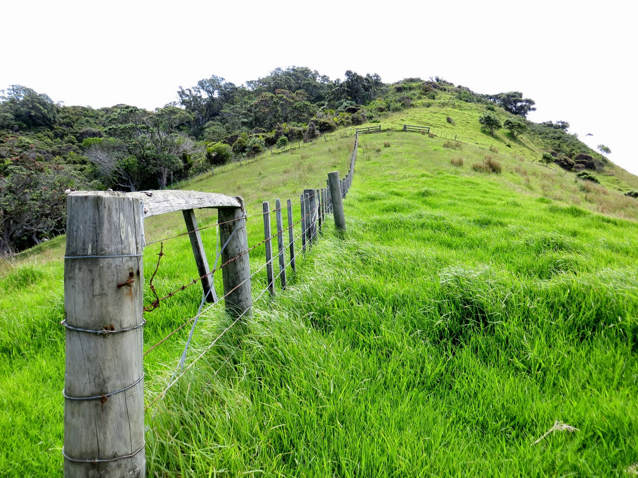
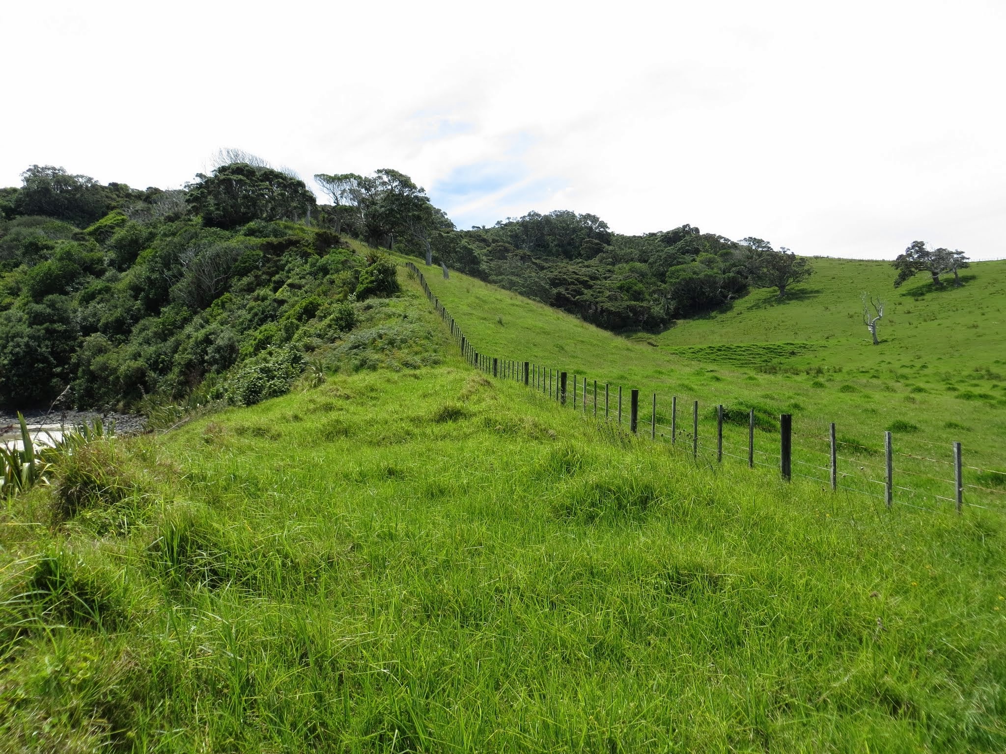
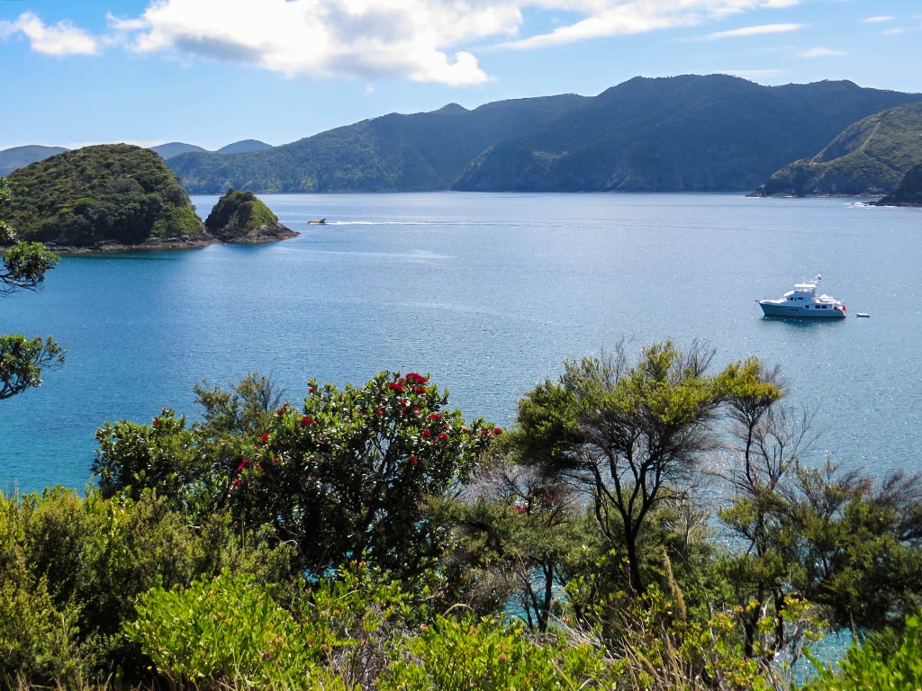
Here is a map with our favorite anchorages marked.  I also added a few that we had researched and chosen but weren’t able to get to.  We assume everyone has good charts and doesn’t need waypoints.

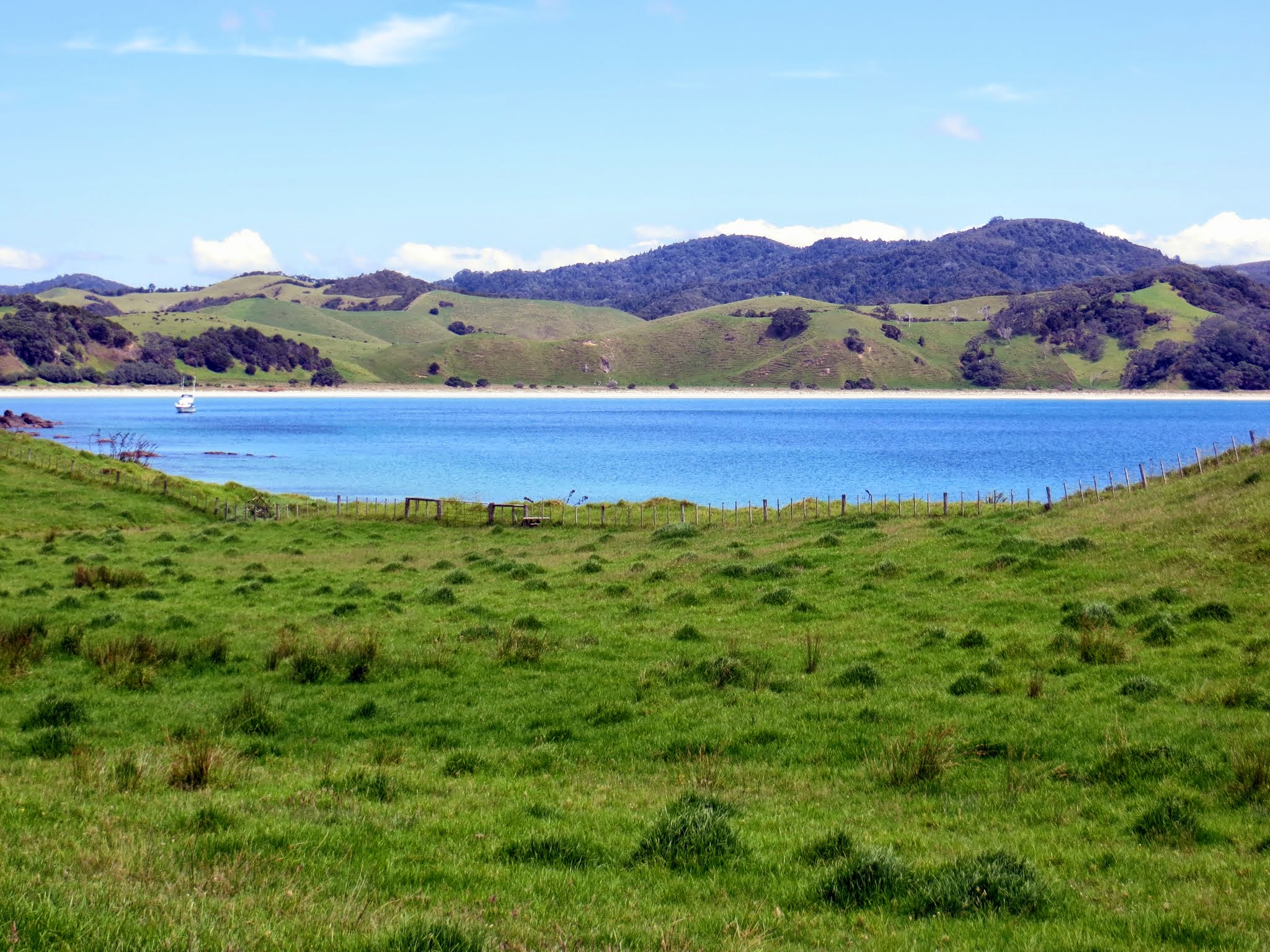
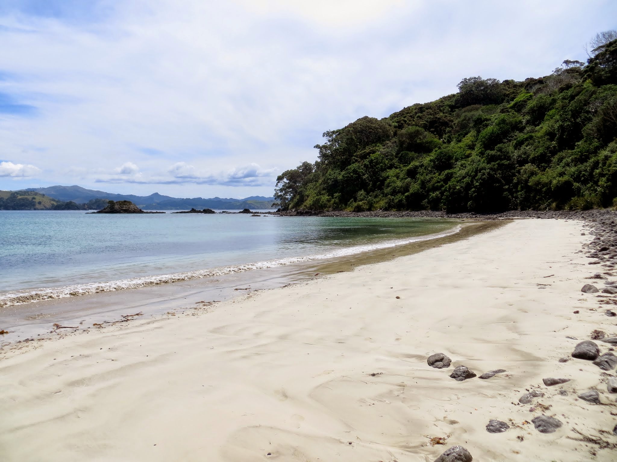
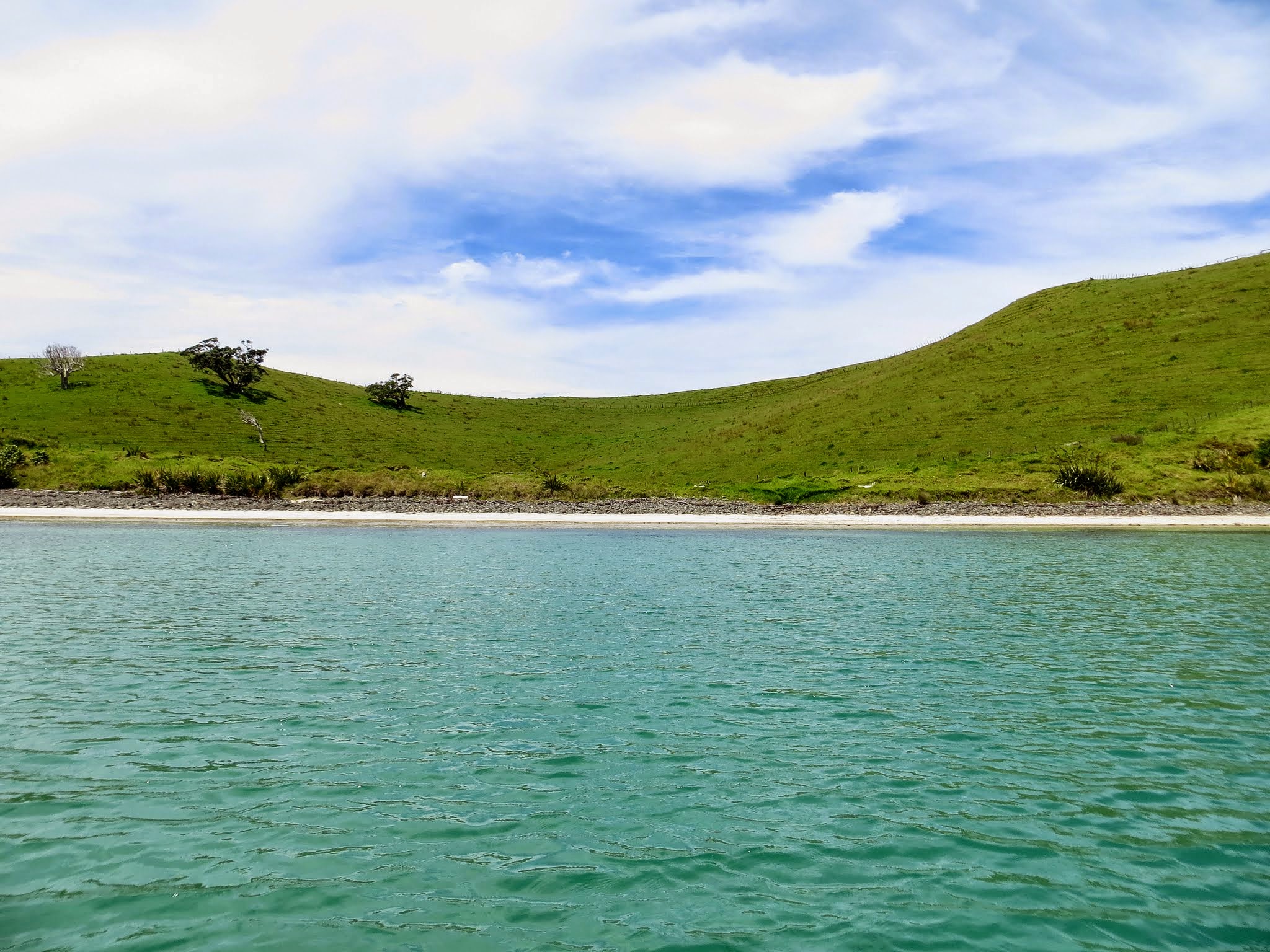
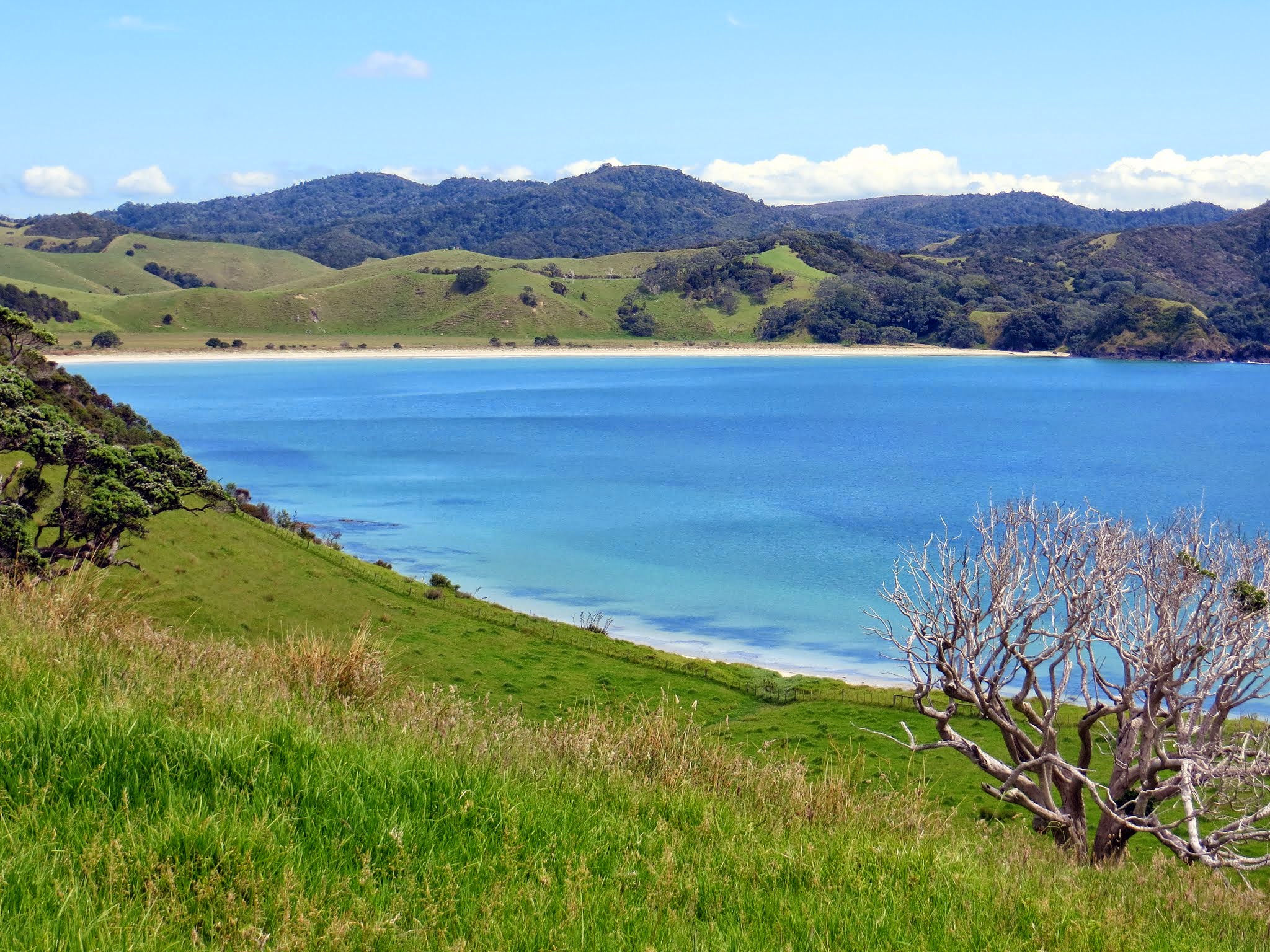
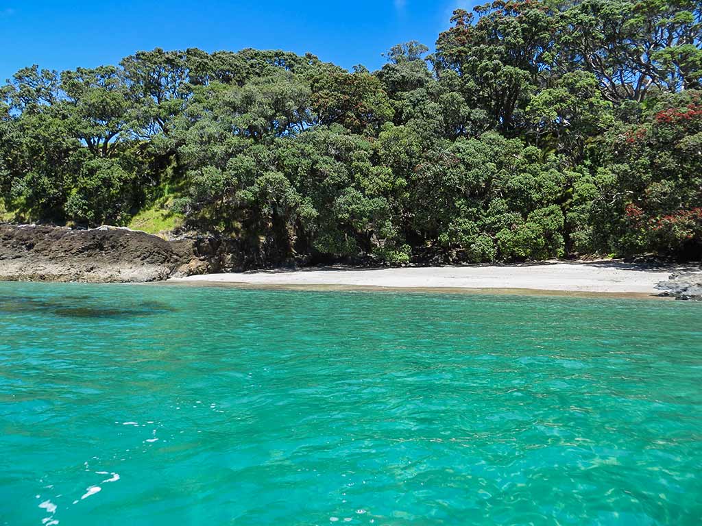
I will note one more thing: we’ve either motored past or driven by most of the anchorages on the mainland peninsulas in the Bay of Islands and, with a couple of exceptions, they are not as nice as the anchorages in those islands.

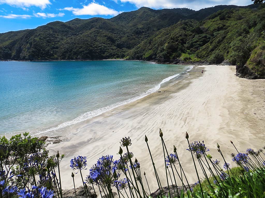
Bottom Line: If we had limited time to do the Bay of Islands, we’d do these:
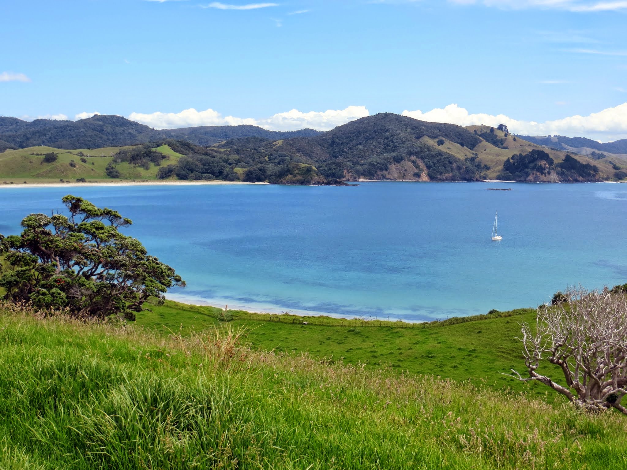
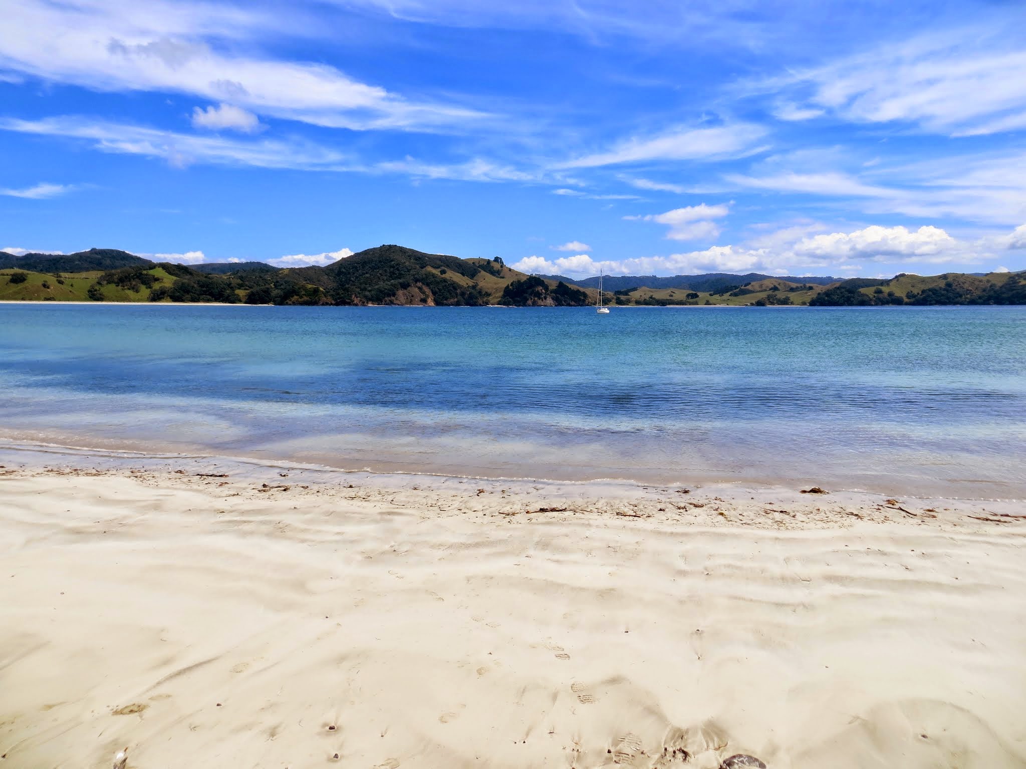
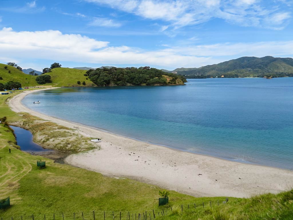
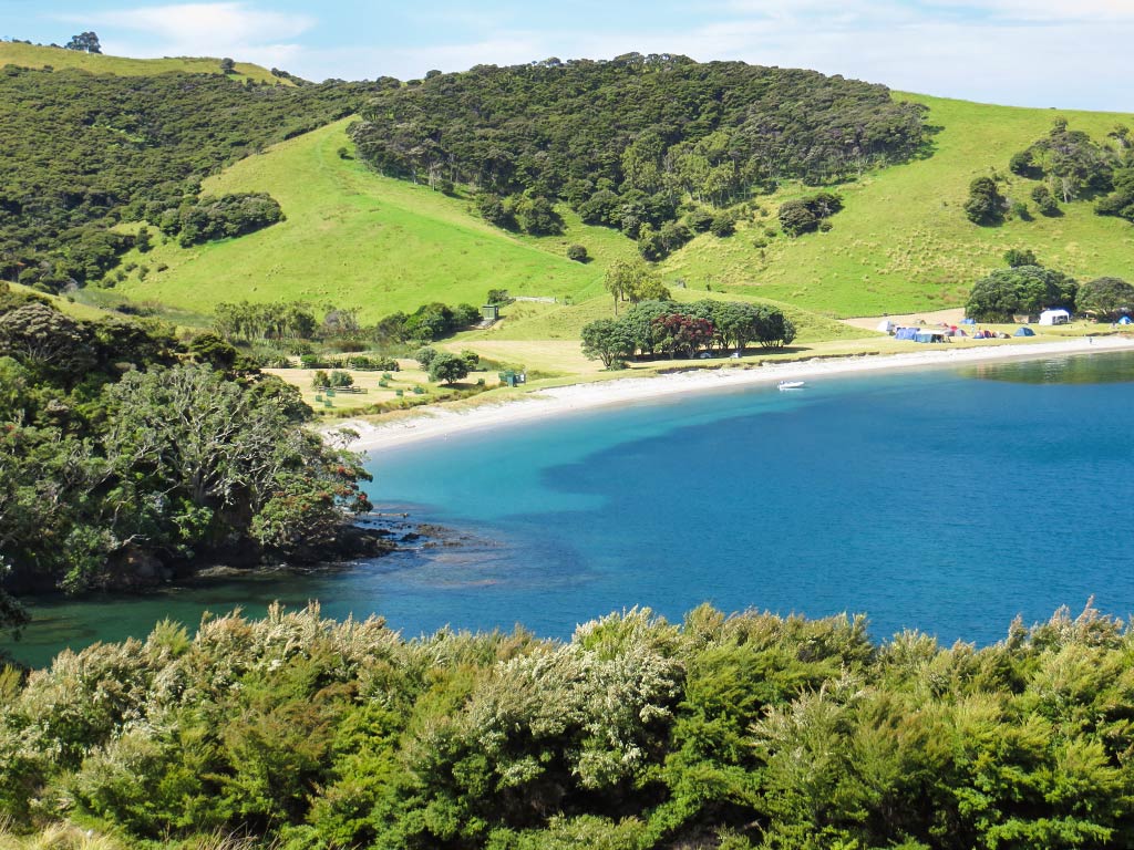
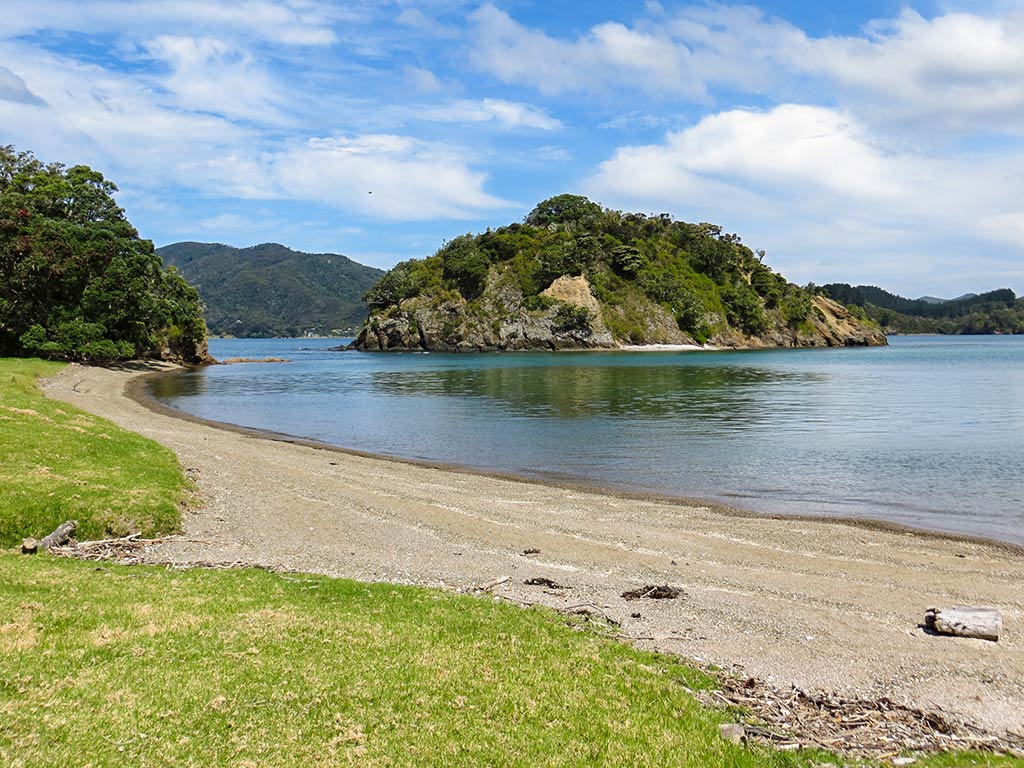
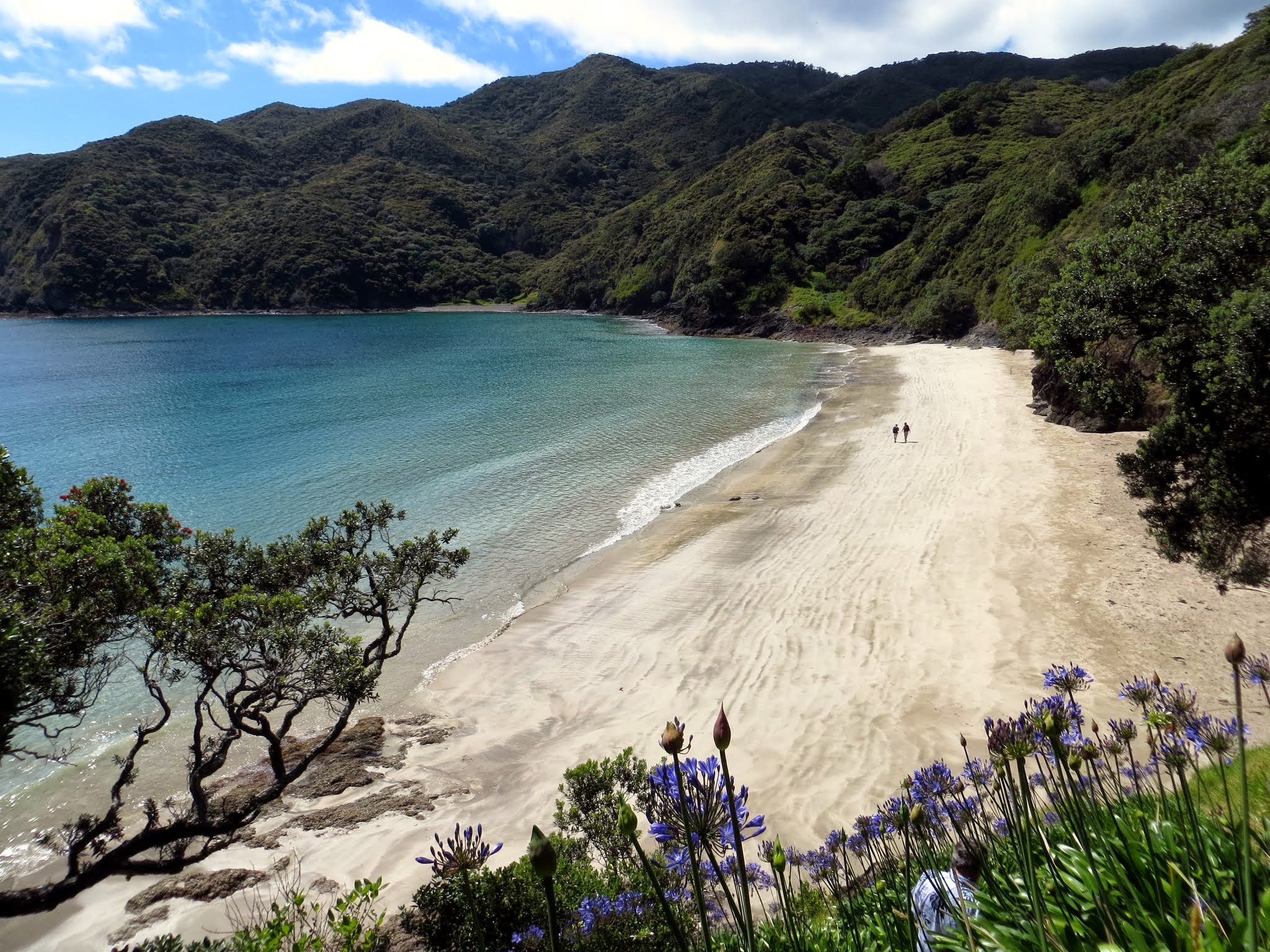
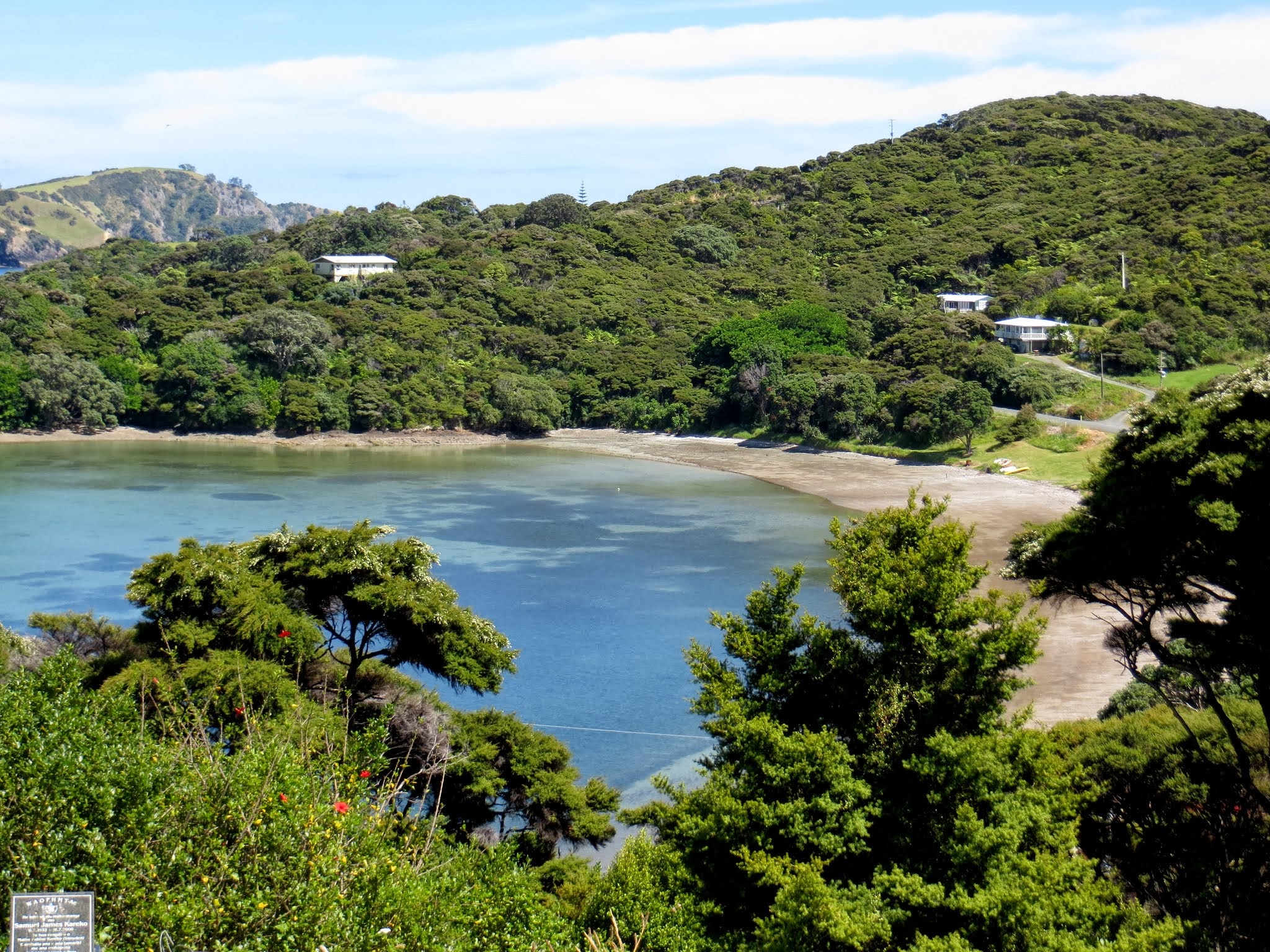
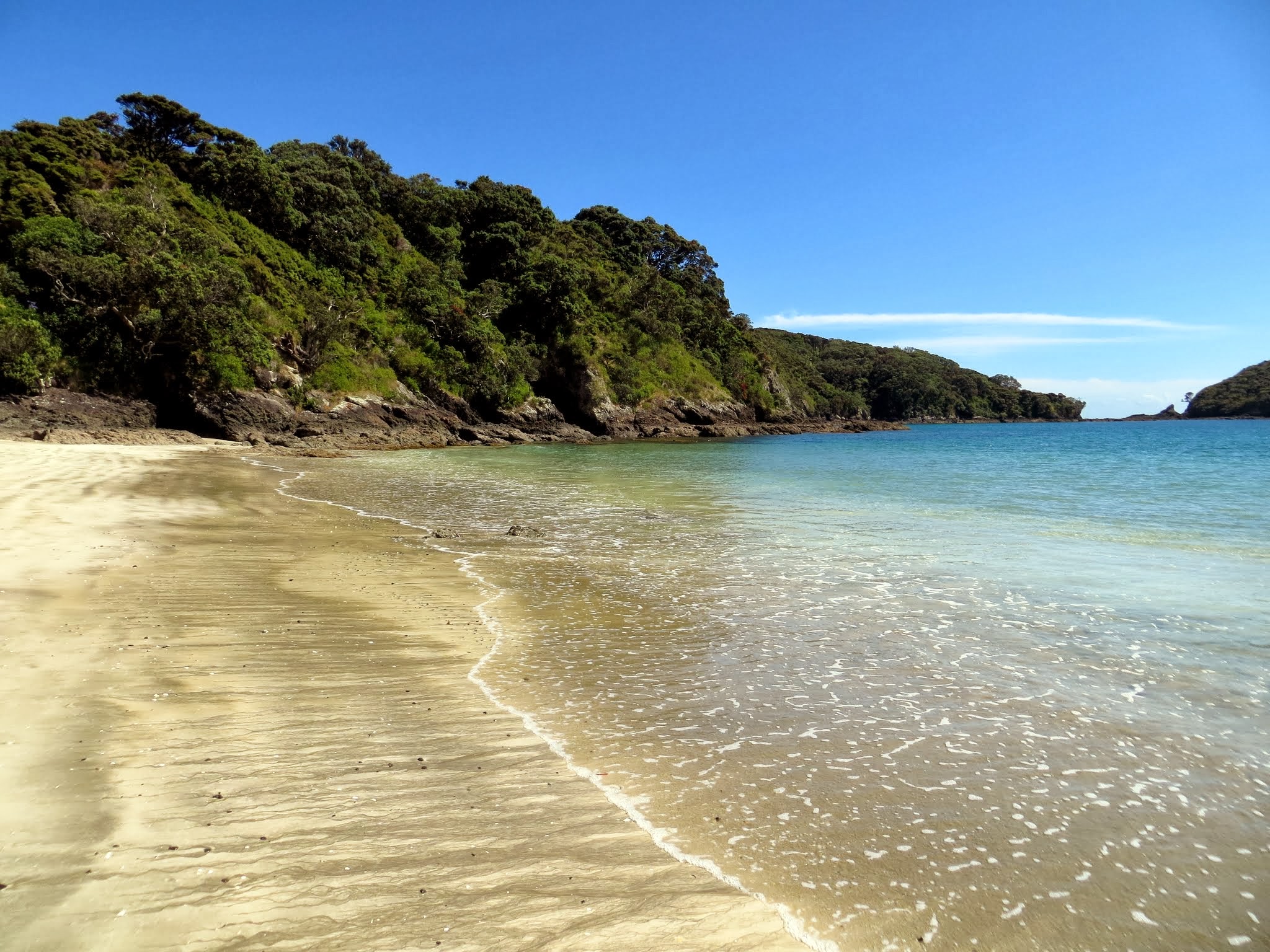
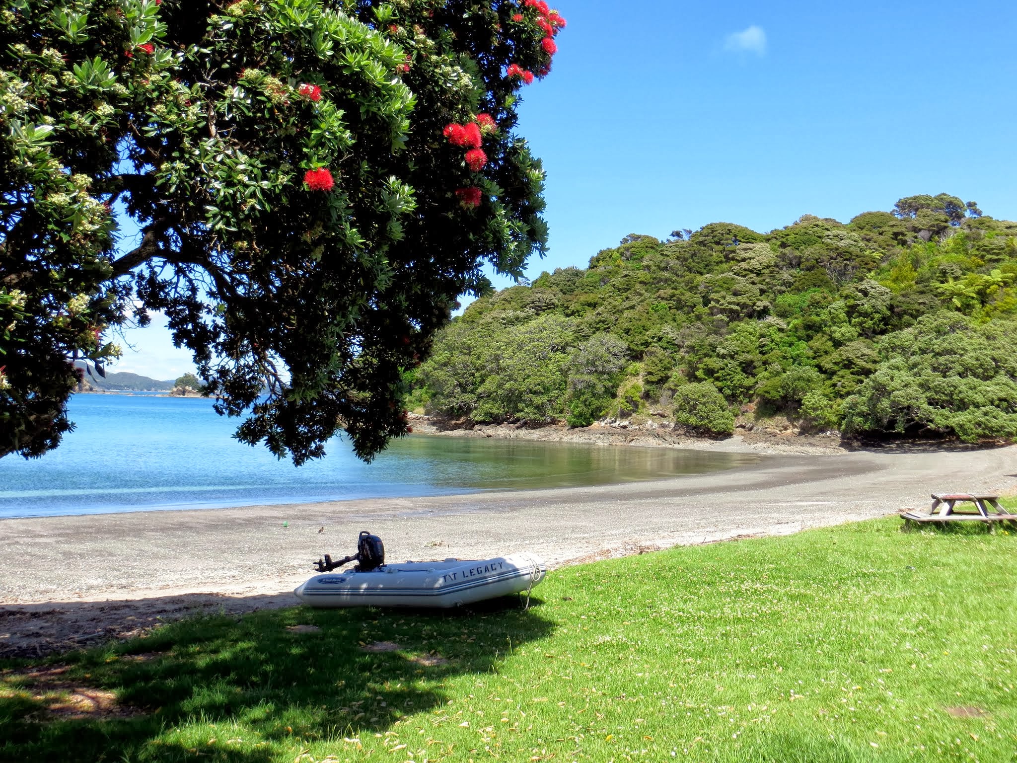
-Urupukapuka Island: either Paradise Bay or Urupukapuka Bay and walk to see the other.
-Moturua Island: Waiwhapuku Bay (aka Army Bay).
-Roberton Island.
-And if conditions are calm you can fit it in as an afternoon anchorage, Waewaetorea Island/Bay.

Click on any map marker for a description or click on the description below the map to see where the marker is located.  You can also pan and zoom the map for a better view.

Good-bye For Now, Beautiful Bay of Islands (Northland, New Zealand)

December 13, 2013

Hey, some of this stuff sounds familiar! What gives?

Anyone who reads our blog might notice my last four posts look and sound familiar. The reason: these December 2013 posts were previously tacked on at the end of our first season’s cruise (March 2013) through the Bay of Islands.

I’ve now done some revising of those posts and they now sit here their proper spot.

Our Bay of Islands itinerary this season was not very extensive in and of itself, but it did fill in missing pieces from our previous season. Below, a map showing our anchorages from both seasons. Not shown, but part of what went into our assessment of the anchorages, were the areas we explored by dinghy or motored through on our boat.

In all, I’m very happy with what we covered in two seasons and believe we managed to see the best places; so I decided to make a Bay of Islands Cruising Information page, which eventually expanded into a Northland Cruising Information page and is now called A Quickie Guide to Our Favorite Northland Anchorages and appears in the next post.

Yes, The Gateway cruisers guide (covering Northland and available free to all cruisers) has (uh, used to have) a guide to Northland’s anchorages, but thirty anchorages in the Bay of Islands alone felt overwhelming to sort through. I believe our list separates the wheat from the chaff.

Update from 2019: Come to find out, the 2019 Gateway Guide no longer includes the Spot X Guide to Northland’s anchorages (which had about seventy anchorages in areas including the Bay of Islands, Whangaroa and the Cavalli Islands, Poor Knights Islands, and the north coast). Instead, they steer cruisers to a company that sells very similar cruising guides. It seems a little unfair that now there’s a charge for something that’s always been included for free, but the way things have gone in Opua the past couple of years, this does not come as a big shock.

But getting back to December, 2013. Below is a roundup of some extra photos from our cruise through the Bay of Islands this season. (As always, click to enlarge and scroll through the photos.)

Now, it was time to make our way south towards Auckland.–Cyndi

PS: Here’s a link to the 2017 Gateway Guide when they still included the Spot X anchorage guide to Northland.

A Dinghy Ride to Oke Bay (Bay of Islands, New Zealand)

December 12, 2013

One of my goals during this trip through the Bay of Islands was to figure out a good way to visit Oke Bay, one of the mainland anchorages we visited the last time we were here. Because this bay faces northeast and is only a few miles from the entrance to the Bay of Island’s harbor, it’s subject to some effects from the open ocean. As a result, it tends to be bumpy and might even have small waves. These were the conditions we had during our previous visit; so it’s not surprising that we weren’t particularly enthralled with it.

The reason I wanted to go back and walk around onshore was that it’s a David Thatcher favorite. David Thatcher is the author of the New Zealand cruising guides we use and I trust his opinion. Rich has come to refer to him as “Mr Big Shot” as he gets a little tired of hearing, “David Thatcher says…,” and “David Thatcher thinks…” Rich thinks I have a secret crush on David Thatcher. I don’t, but his books had been my source for choosing places to visit, and I’d come to trust his opinion and value his insights. (No, I don’t want to marry him, but I might consider marrying one of his books if I weren’t already married.)

Anchored at the south end of Urupukapuka Island, we realized that two bays on the mainland peninsula opposite Oke Bay could easily be reached by dinghy. These bays faced west, which meant their water should be calm and flat. From there, we could just walk to Oke Bay. Since it was a calm and beautiful day, we decided to give it a go. We dinghied out of Urupukapuka Bay and crossed the channel to Kaimarama Bay, a mile away, and easily landed on its shore.

This jaunt turned out to be well worth doing. The beaches at Kaimarama Bay and Hauai Bay were the gravelly type with brown sand, but still pretty and interesting to see. The walk went along a road, past a few homes behind Hauai Bay, before reaching the path that went up over a grassy hill to the other side of the peninsula.

Voila, Oke Bay, with no rolly anchorage or wavy dinghy landings to contend with! I was surprised to see how beautiful this place was now that we were looking at it from the shore. It had a long stretch of white sand beach, colorful blue-green water, and was surrounded by lush green hills. This was definitely one of those places that looked more beautiful up close (it didn’t look nearly this pretty from our boat last time we visited).

We had an enjoyable walk down the beach, then hiked up a hill to seek out views overlooking the bay. This turned out to be a wonderful excursion! And it was so nice afterward to return to our peaceful anchorage at Urupukapuka Bay for the night.

Above is a gallery of photos from the area in no particular order. Kaimarama Bay is the one with our dinghy in the picture, and Hauai Bay is the bay with the brown sand beach. Oke Bay (featured at the top of the gallery) has the beautiful white sand. (As always, you can click to enlarge and scroll through the photo gallery).–Cyndi