March 16, 2016
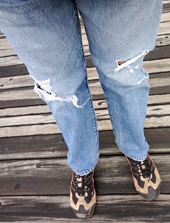
I believe today is the first time I’ve worn big-boy pants in over two years.
Life is good.
Cold, but good.
-Rich
Cyndi and Rich aboard Legacy

March 16, 2016
I believe today is the first time I’ve worn big-boy pants in over two years.
Life is good.
Cold, but good.
-Rich
March 15, 2016
March 15, 2016
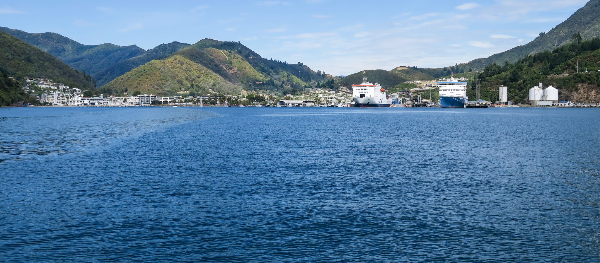
We’re here! It took us two years*, but we finally made it.
Here’s where we are, and how we got here… (zoom and pan on this interactive Google map)
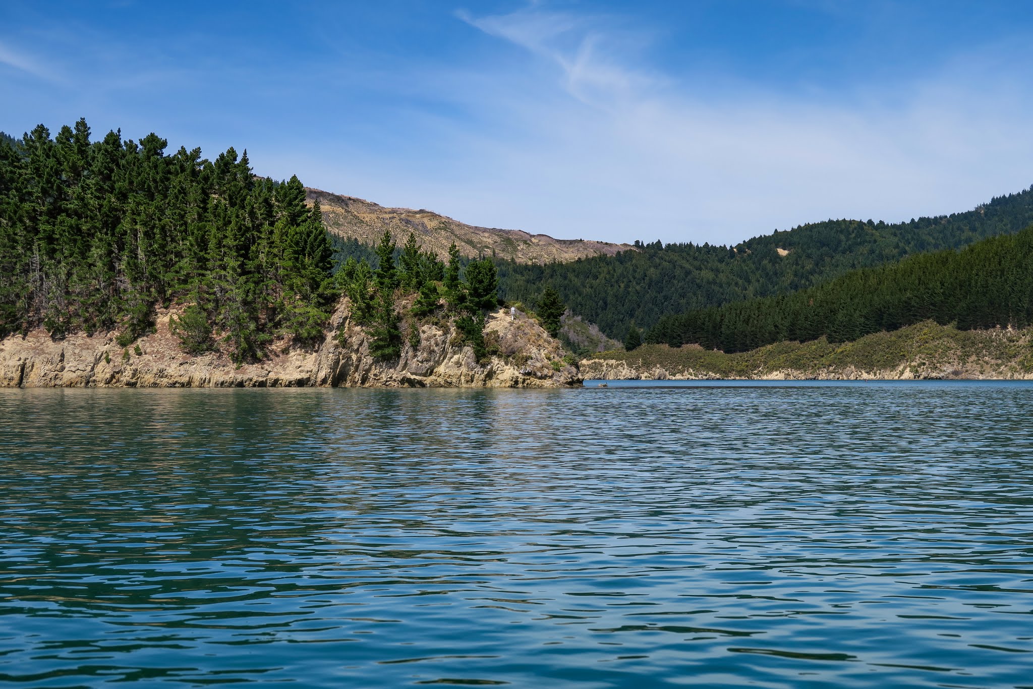
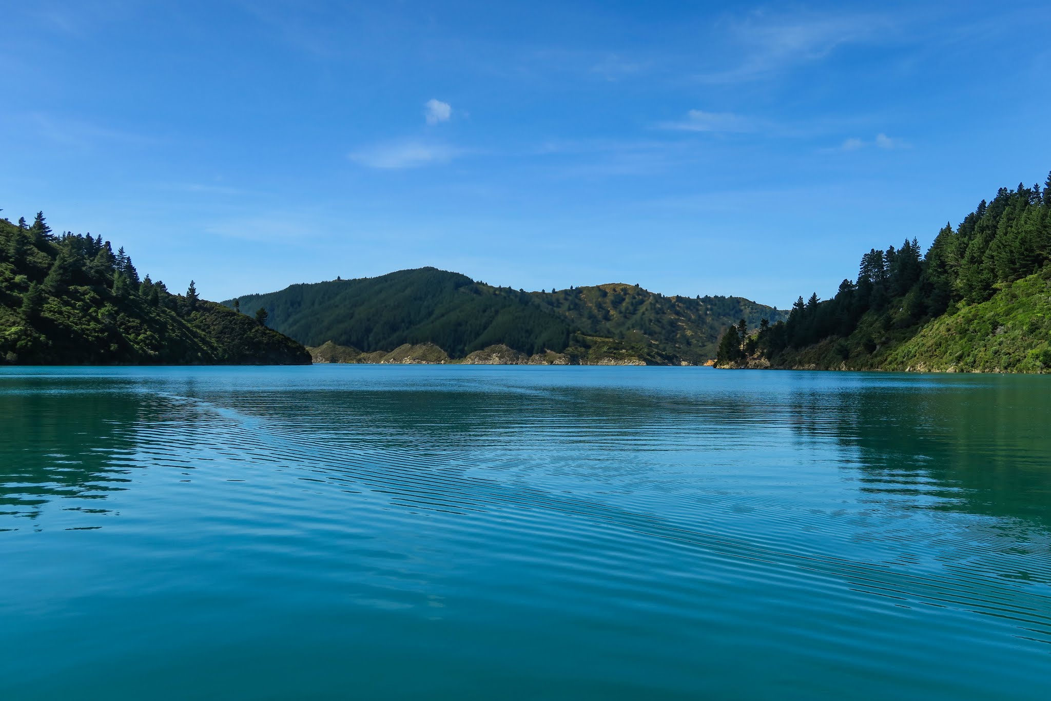
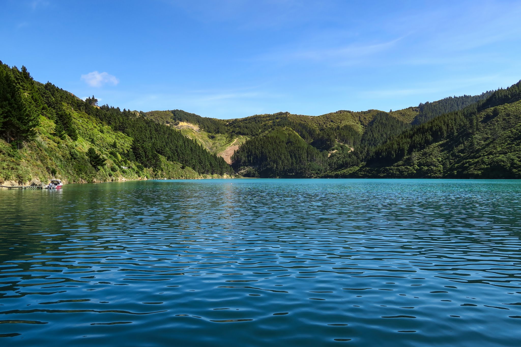
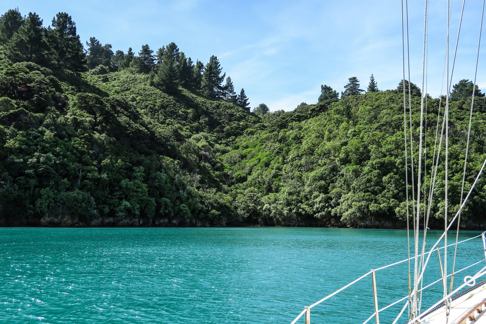
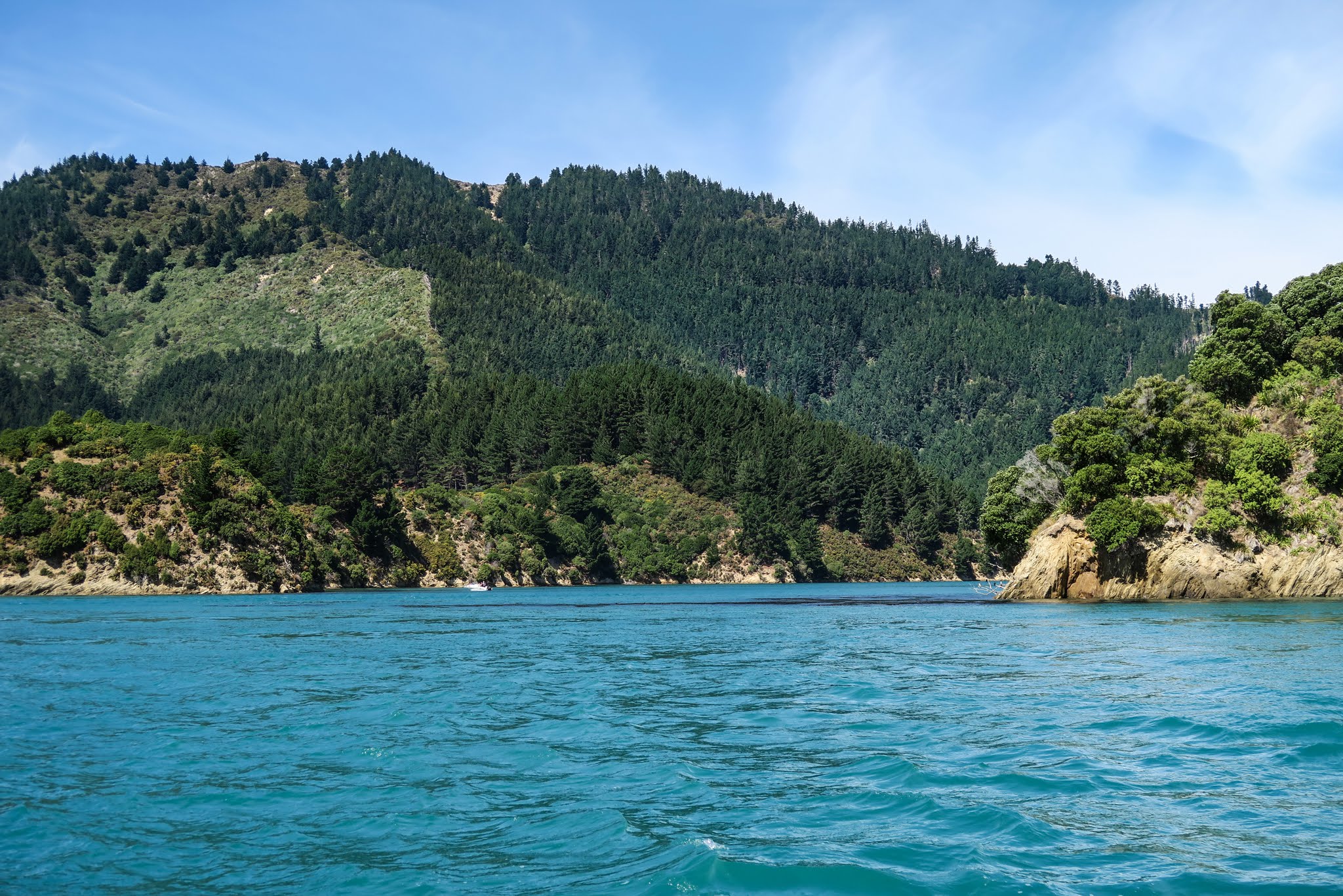
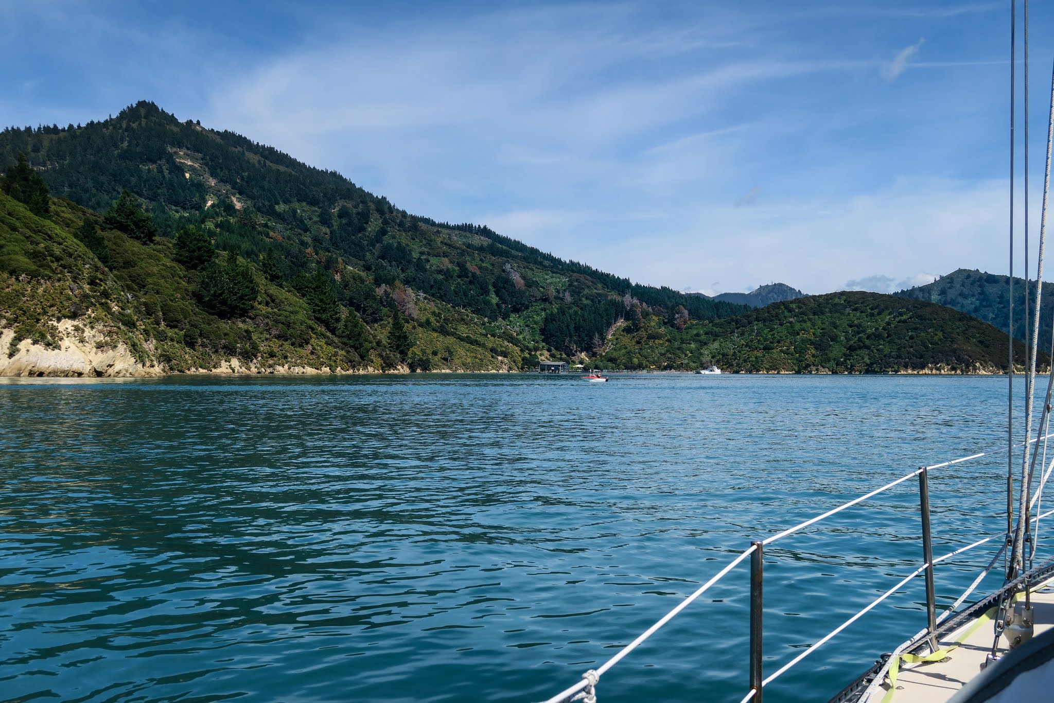
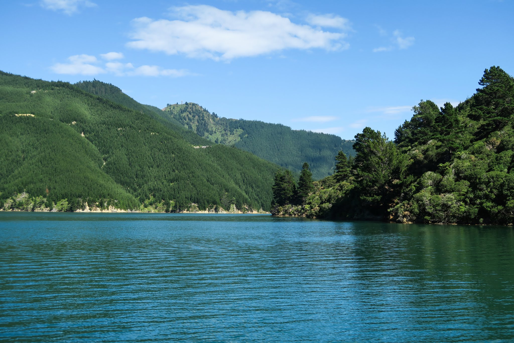
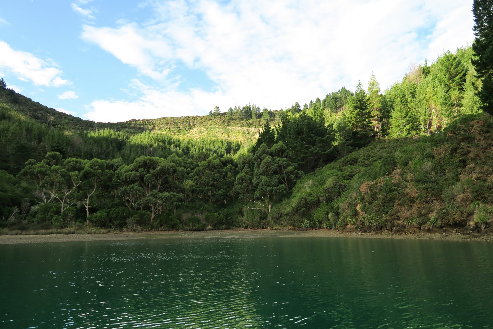
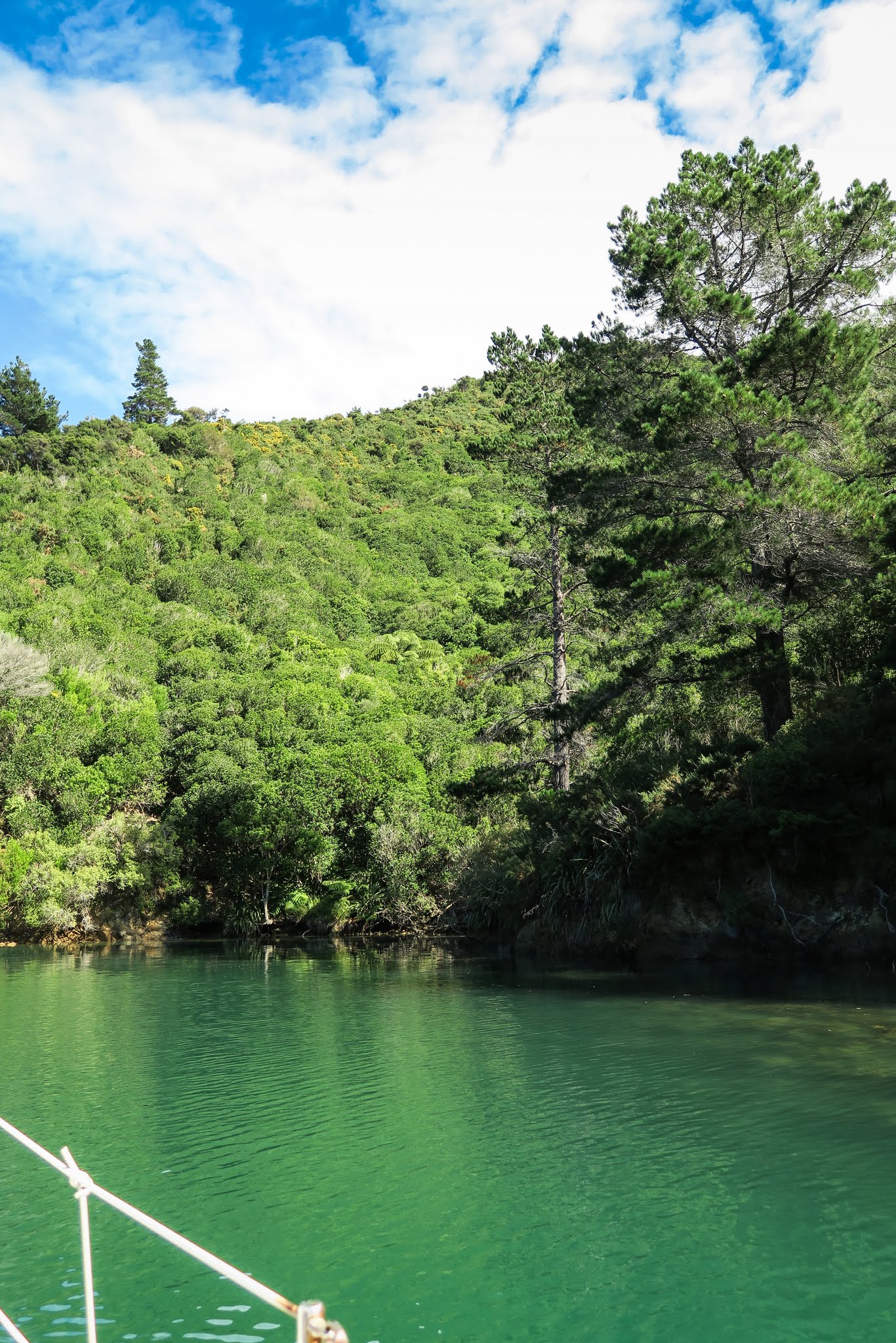
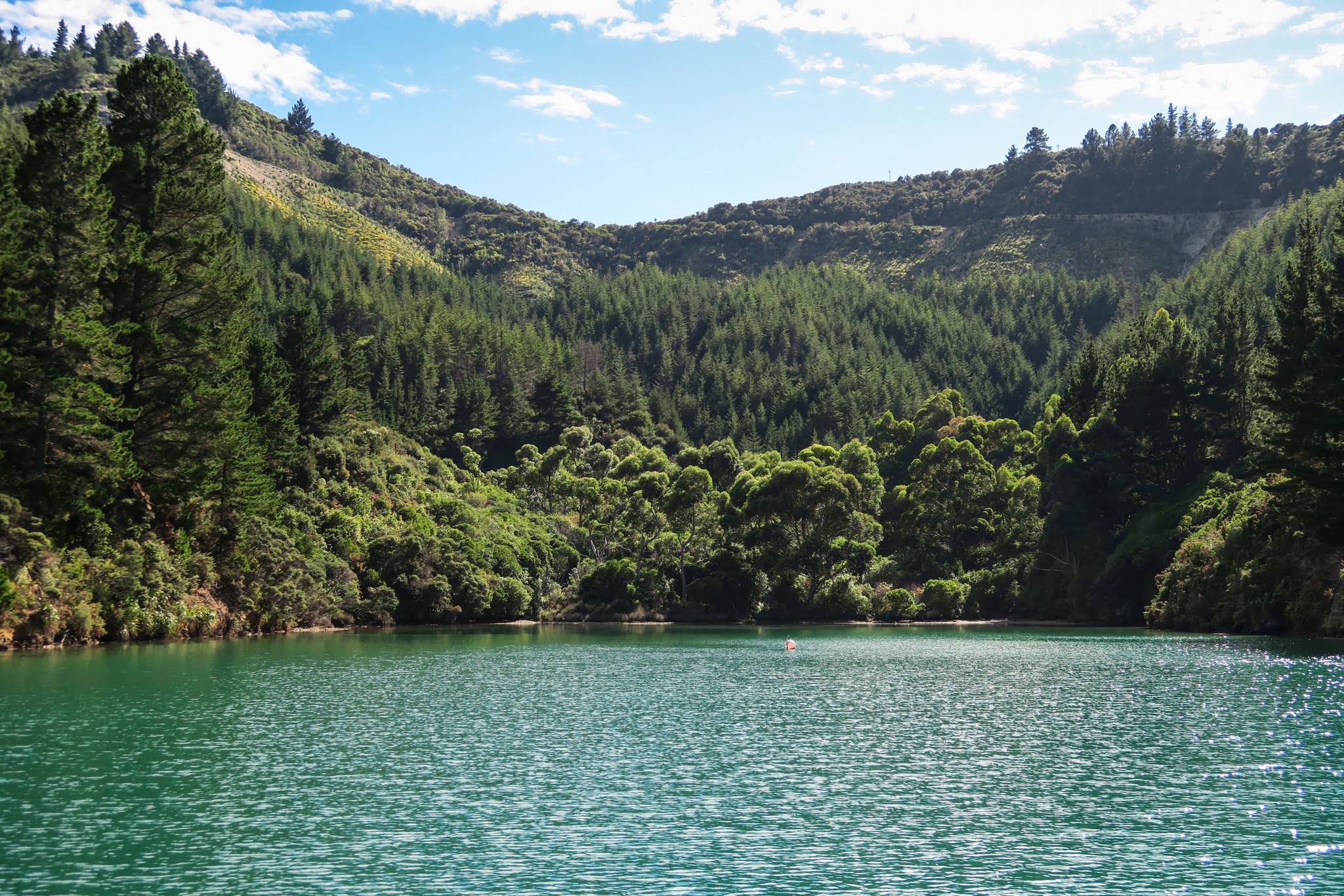
And this is what we’ve seen so far… (click on a picture for a larger version)
*We tried to get to the South Island last year but El Nino said “no way!” The strong southerlies caused us to go to Australia instead. This season, we thought we might come directly here from Fiji, but again, the weather wasn’t going to give that to us. Instead, we started this season in Opua (Bay if Islands) and during the past three months or so, worked our way here down New Zealand’s East Coast.
We’ll stay in this area until it’s time to head back up to the tropics in May (or so, weather permitting, as always).
March 14, 2016
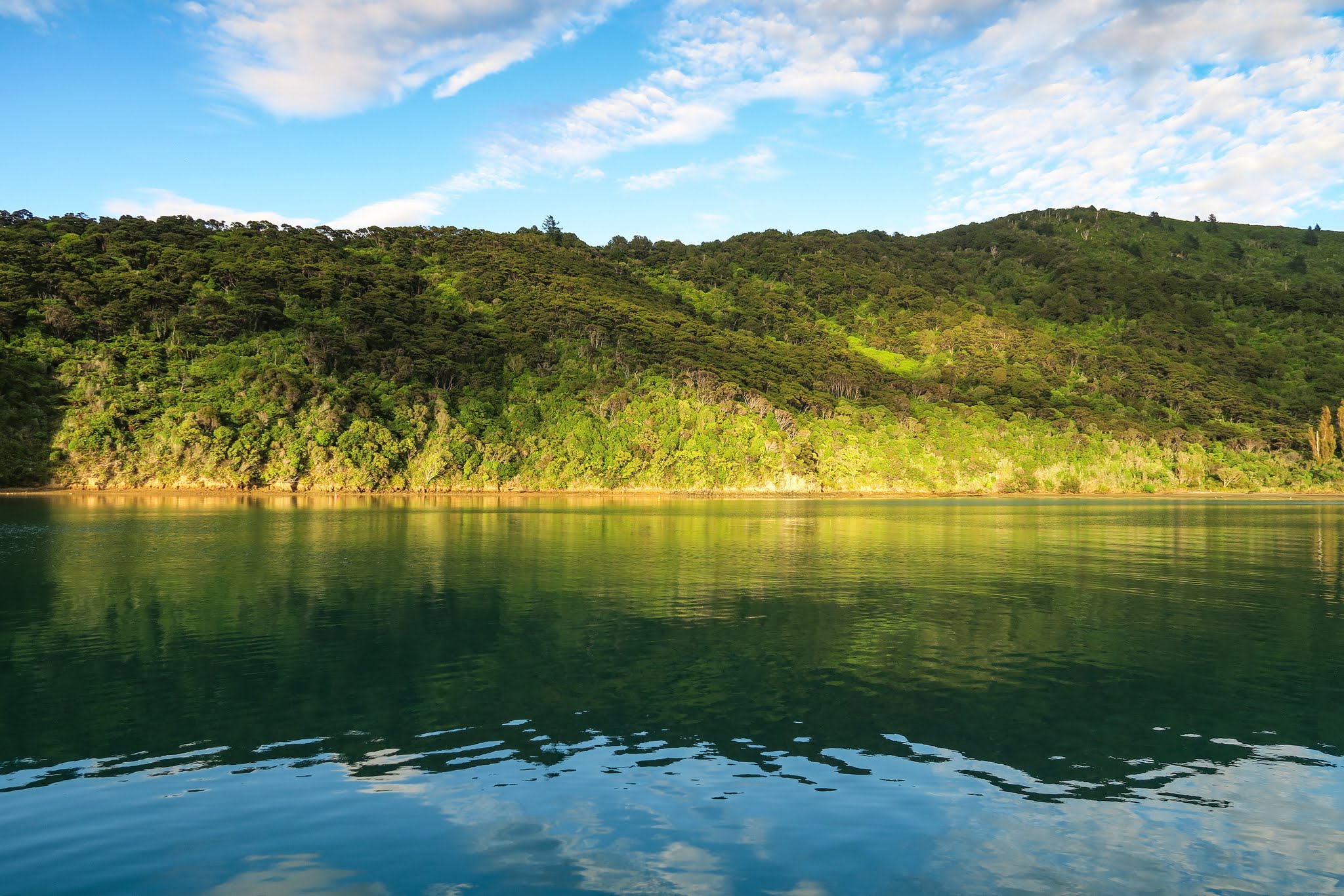
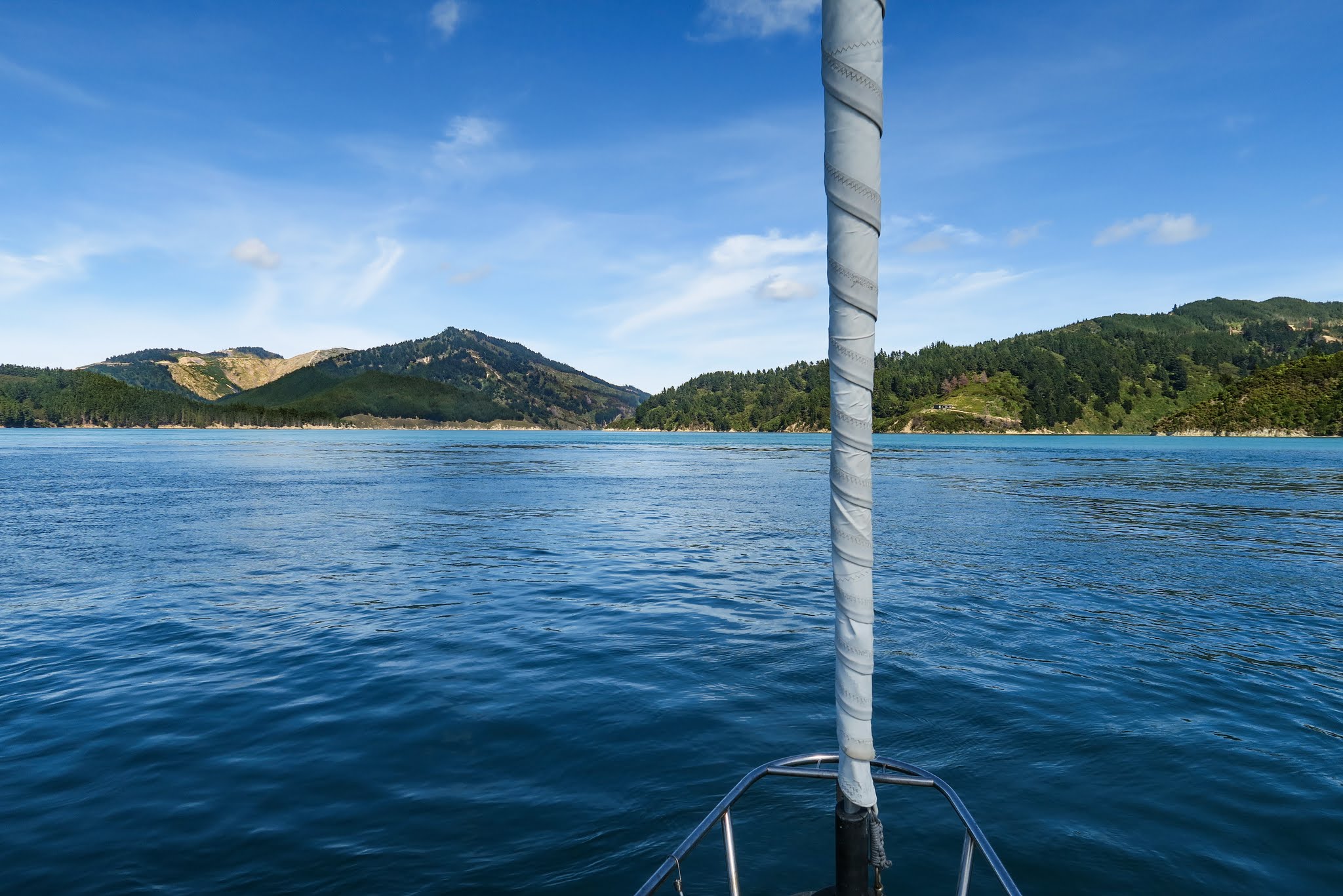
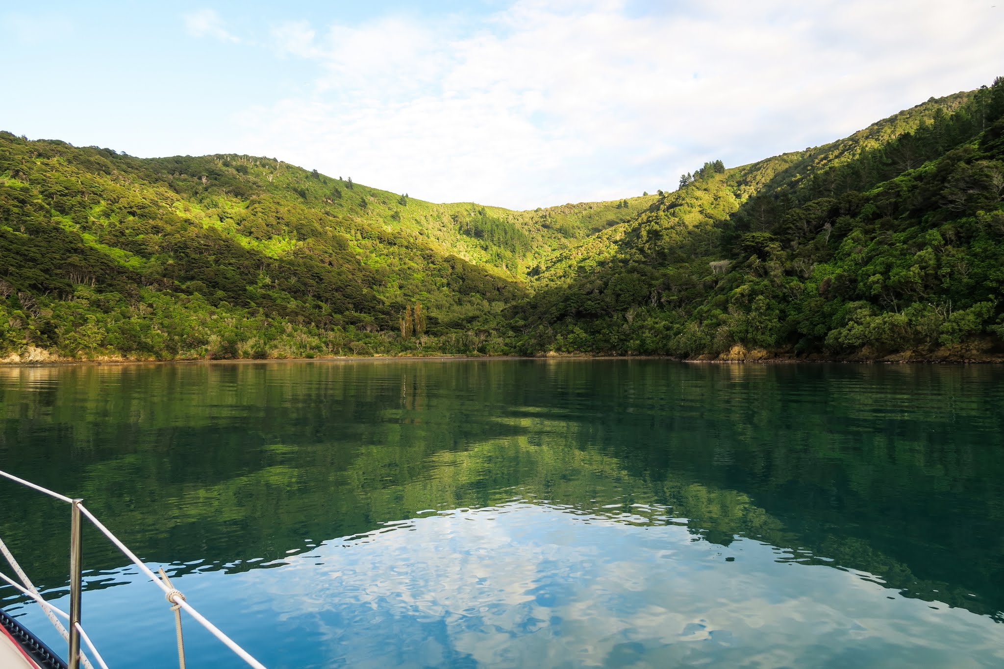
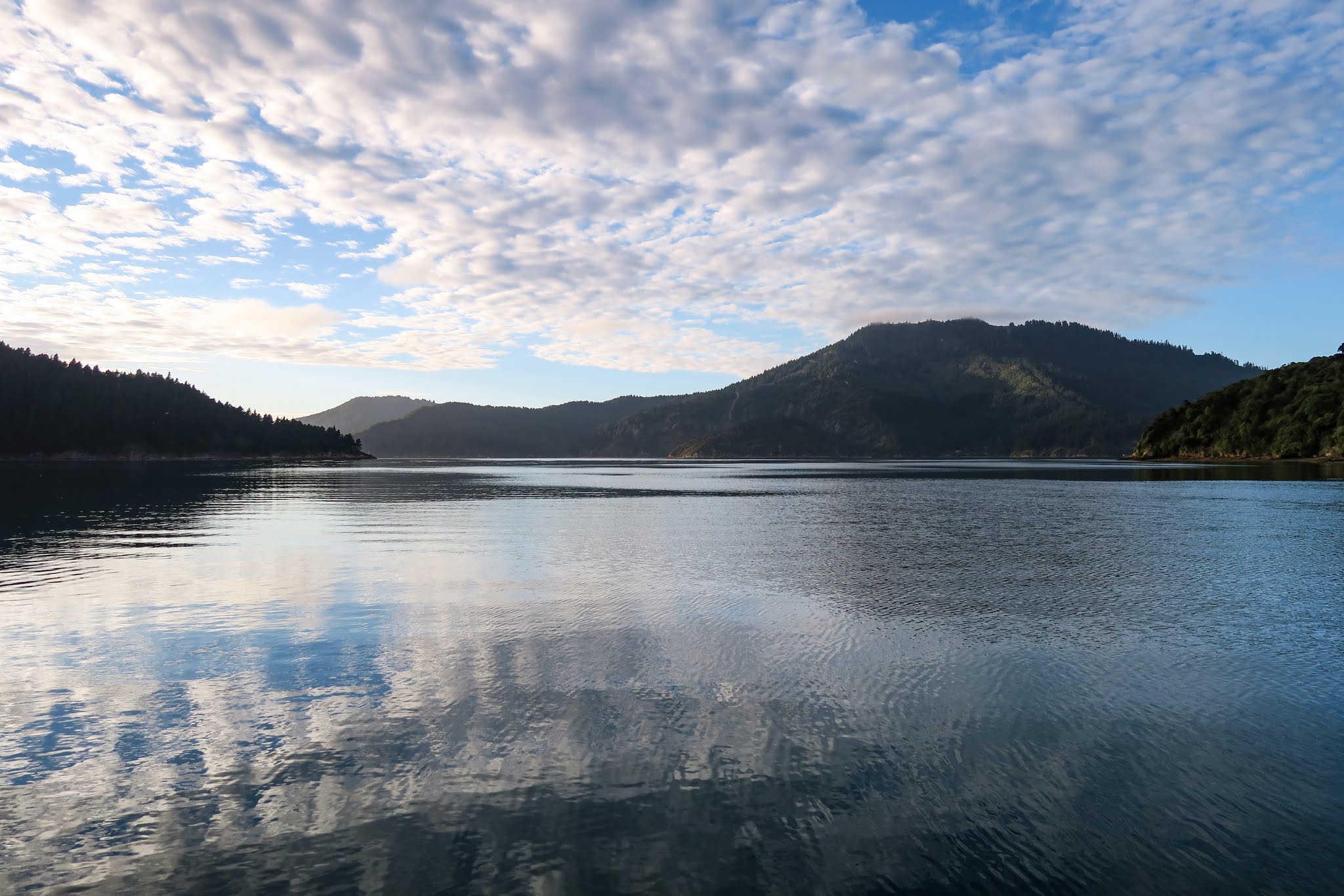
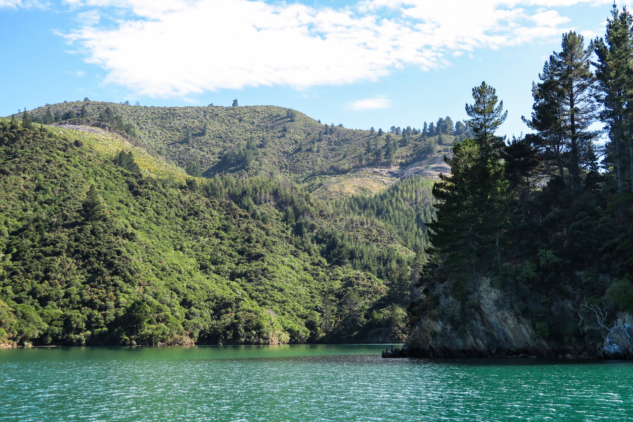
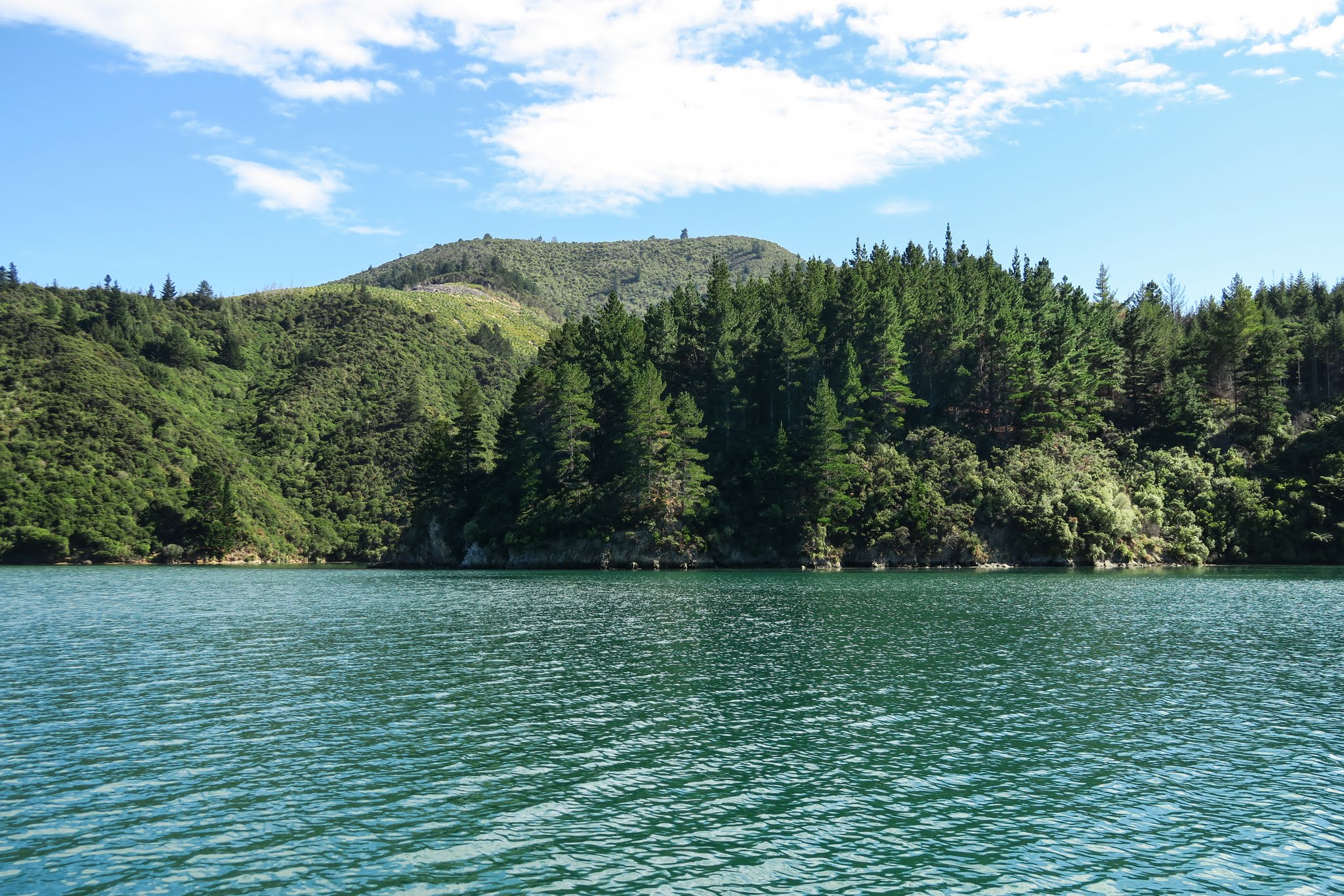
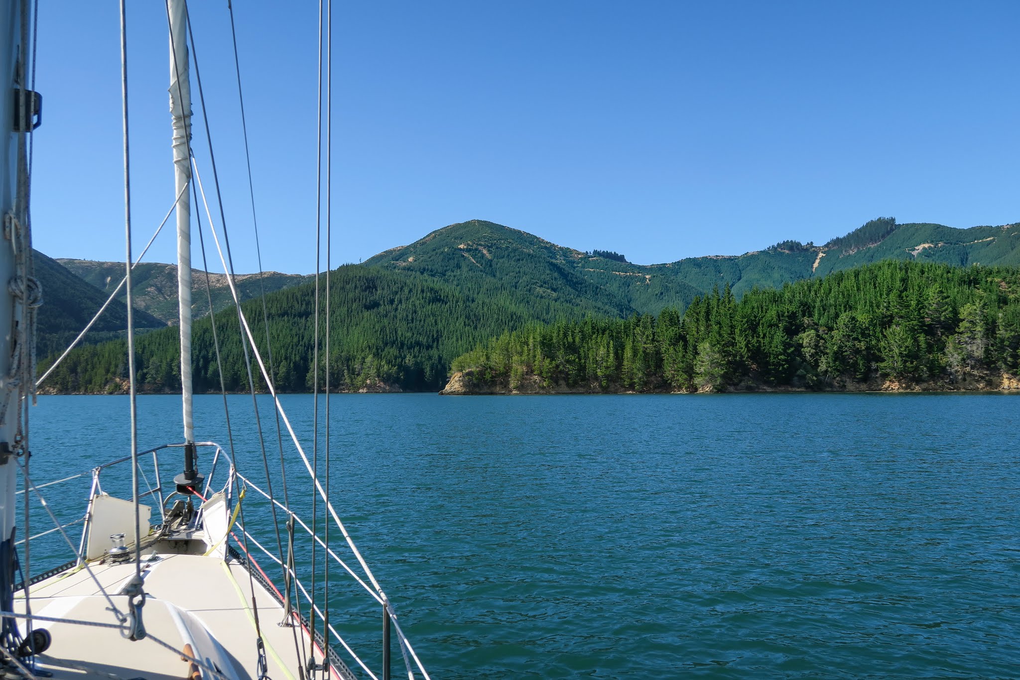
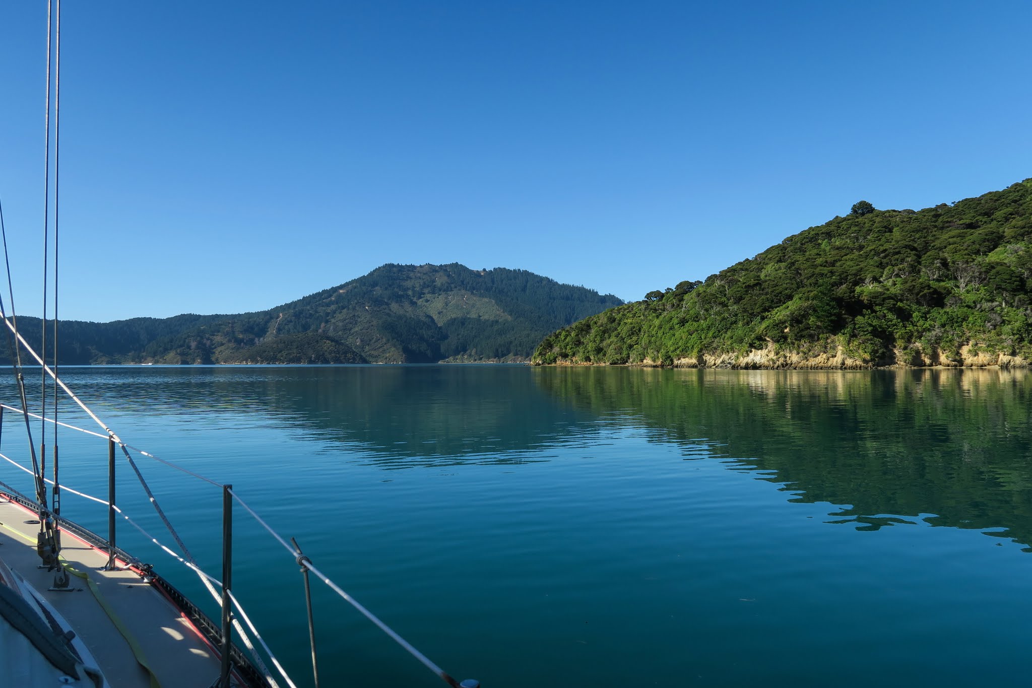
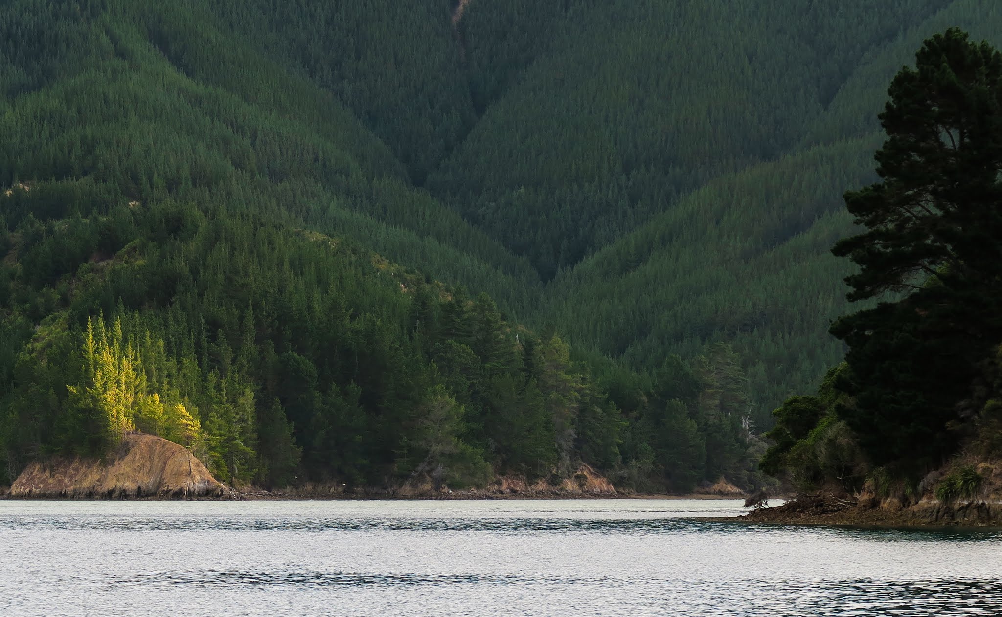
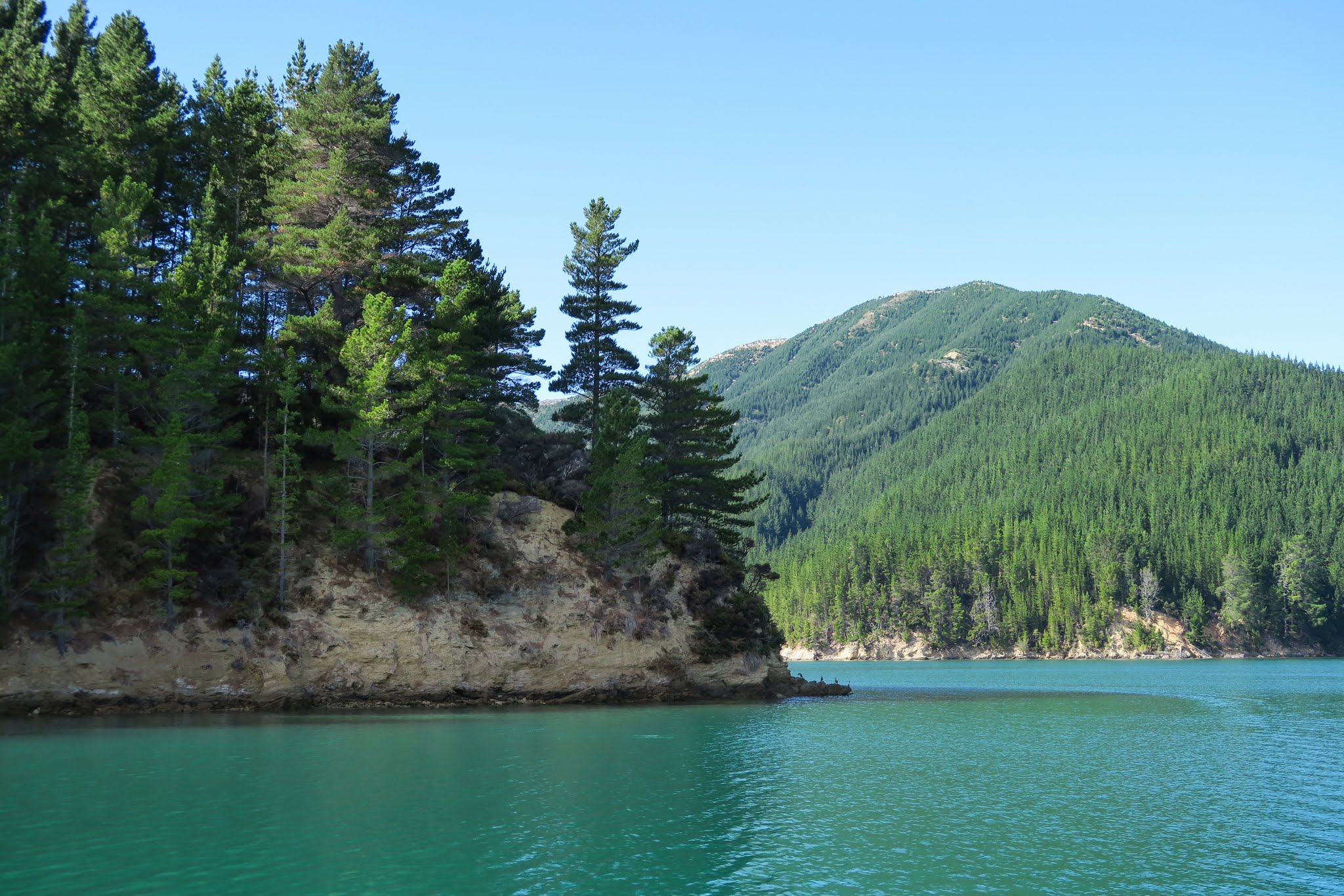
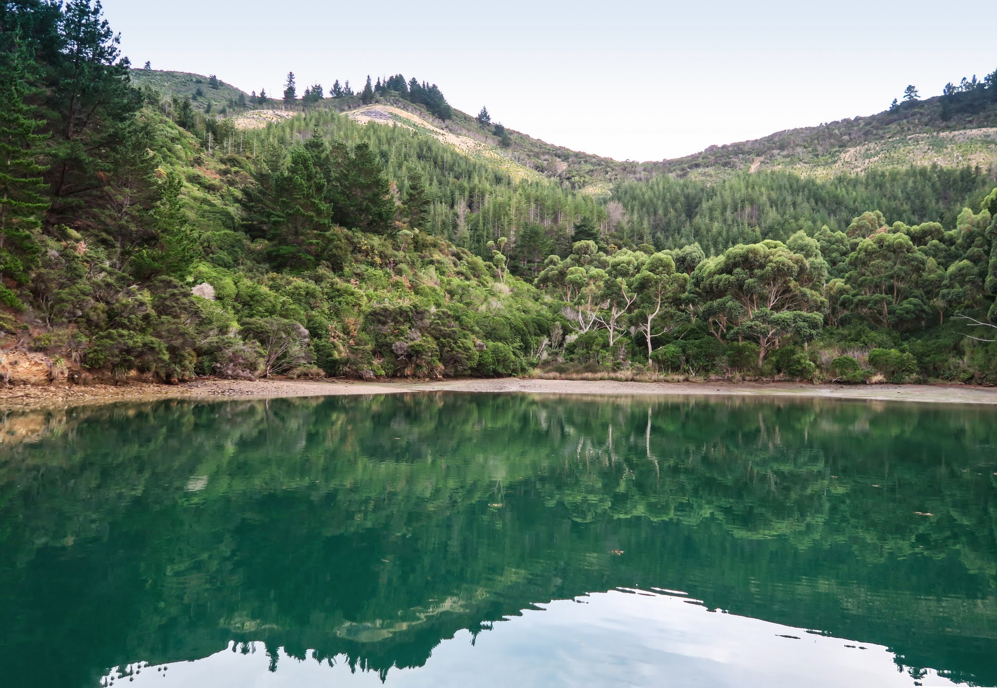
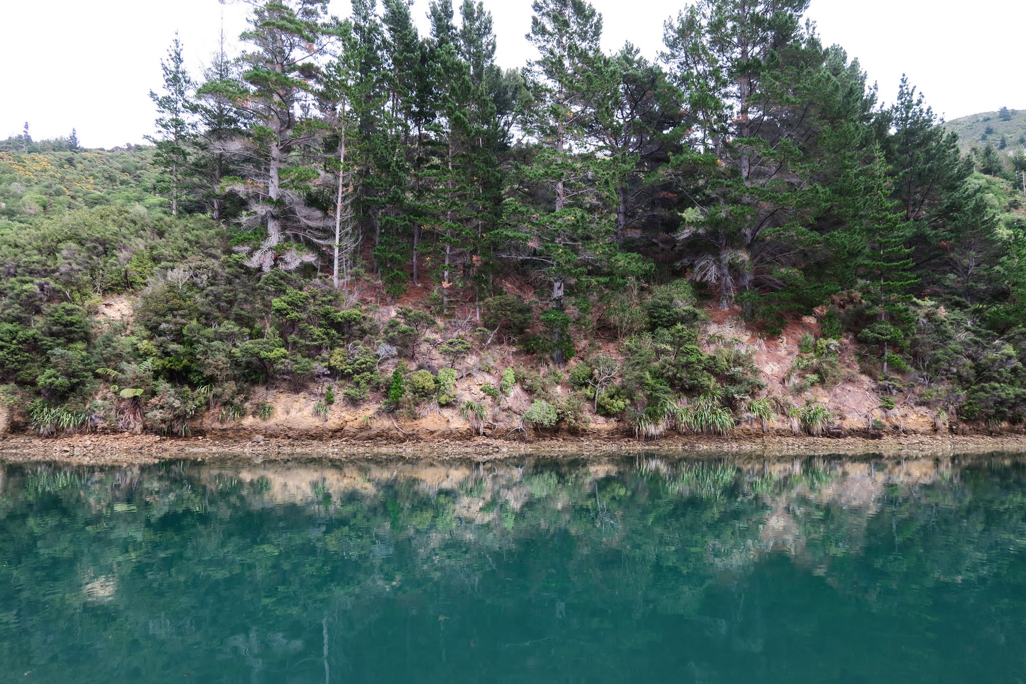
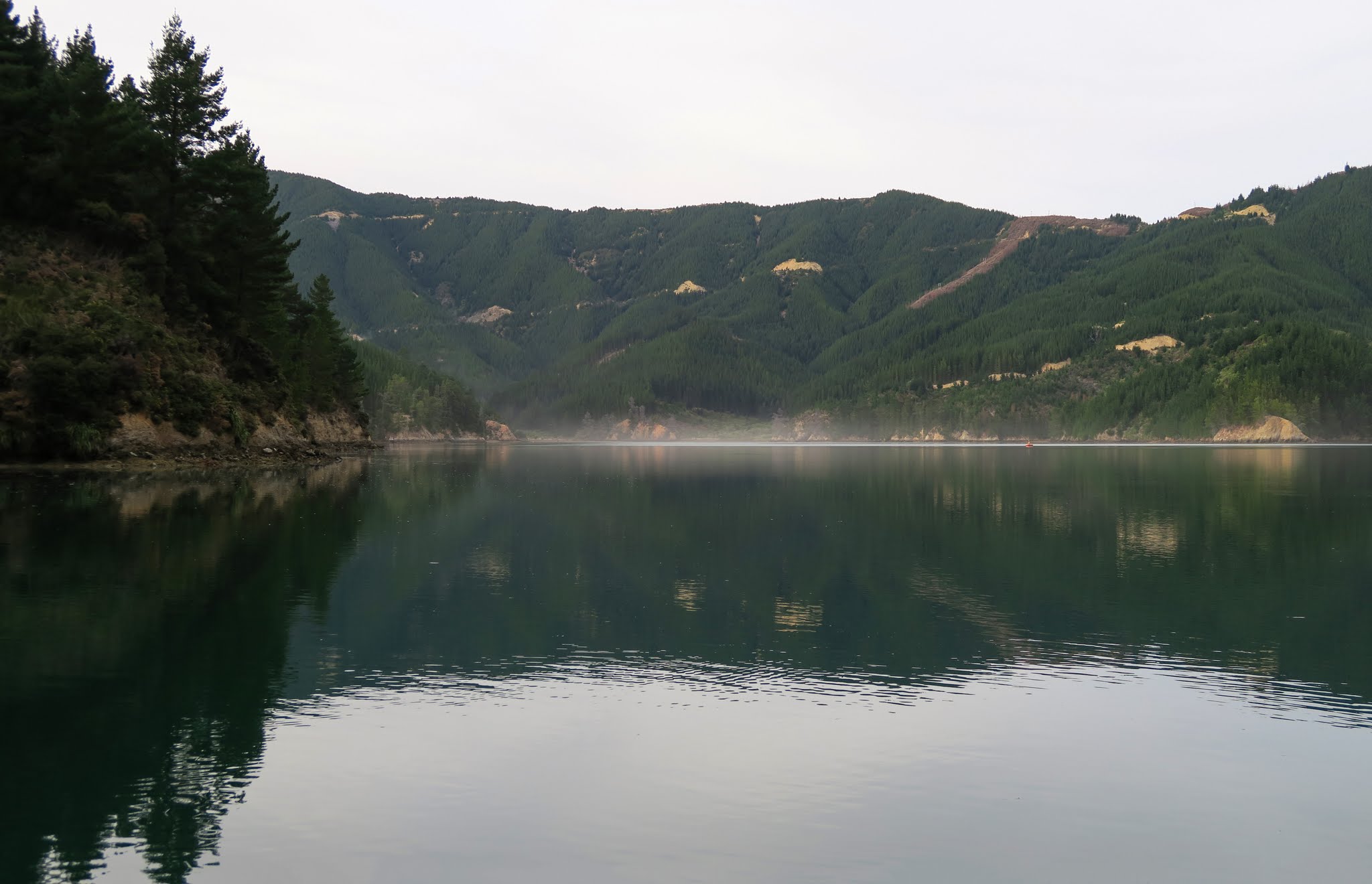
Still cruising the Sounds. WOW! This place is amazing. We’re anchored in yet another too-good-to-be-true bay with incredible views, flat water and perfect quiet. We have yet to share a bay with anyone. There are a few boats out running around, but mostly work boats. We’re working our way to Picton but no telling how long it’ll take us to get there. We’re in no hurry.
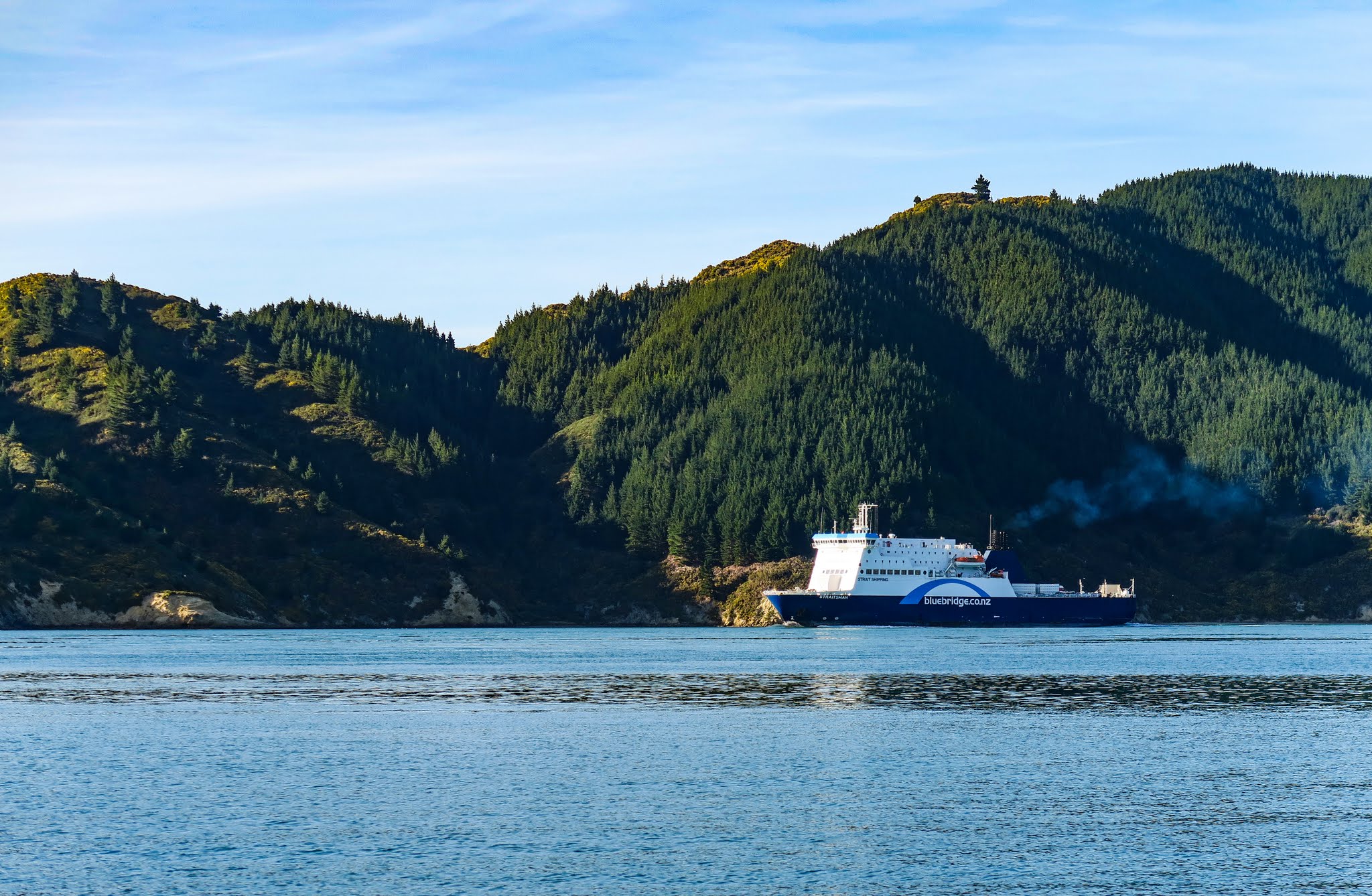
March 12, 2016… No internet access so no pictures. Sorry. We left Wellington this morning and made it across the Cook Straight to the South Island. It was quite a ride. While the wind was less than 10 knots most of the way, the seas were HUGE with occasional swells that we estimate to be 20 feet high. This was most likely caused by the up to seven knots of current against the swells (and us). At one point we sealed up the boat, put on harnesses and strapped on incase Legacy was rolled. We were braced for seven knots coming into Tory Channel and there was a measly 1.5 knots with us. We’re now anchored in Jackson’s Bay. Smooth, flat and quiet. Nice. -Rich