
December 12, 2015
We looked at both North Cove and Bon Accord Harbor on Kawau Island for a spot where we could ride out the front that’s due to cross NZ tomorrow and didn’t like the protection from the predicted western quadrant winds. Cyndi, brilliant researcher that she is, had a plan C: Mahurangi Harbor.
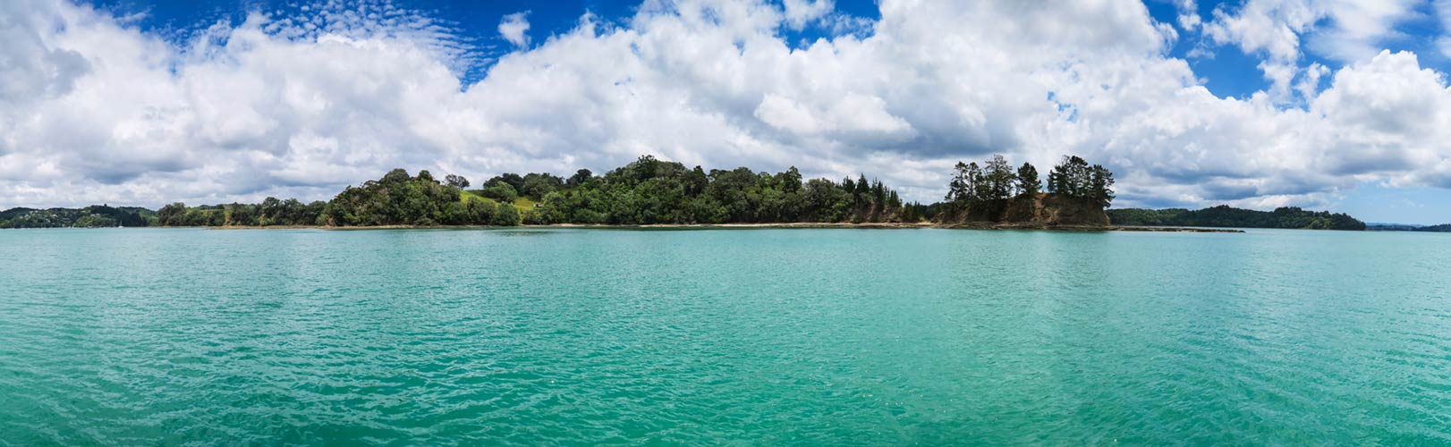
This is, hopefully, just the ticket. Mahurangi is an amazingly large natural harbor with more room to anchor than I could have guessed from the chart, despite hundreds of moorings across from us and in another nearby branch of the harbor. It’s also beautiful with bright green water and lush vegetation surrounding us. More cruisers should come here!
This is a fully-functional Google map. Pan and zoom away!
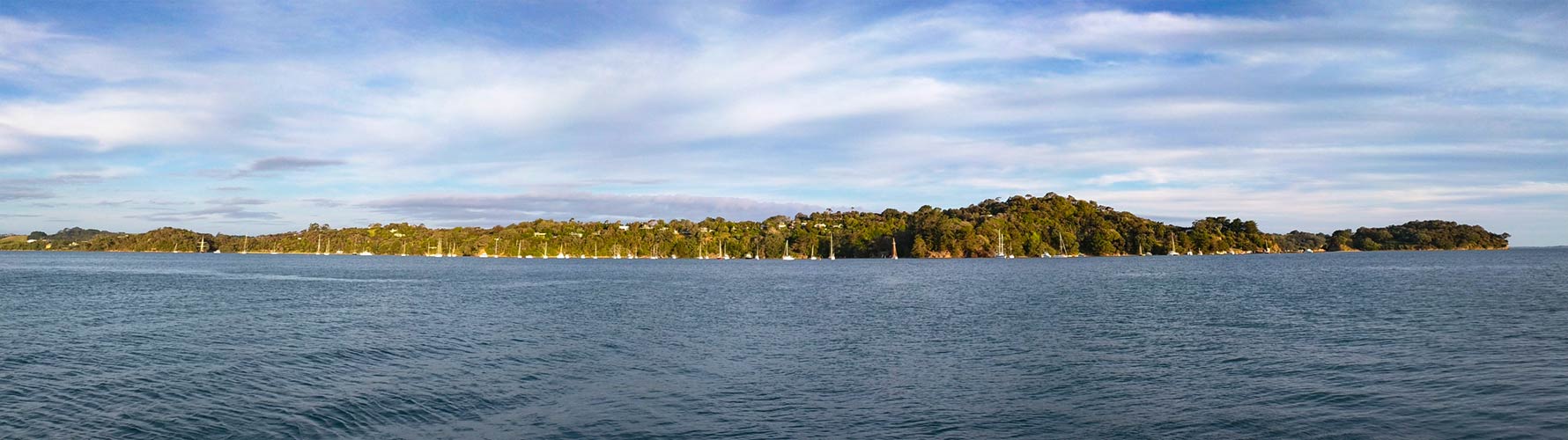
And this evening, across the bay…
We’ll hang here tomorrow, and hopefully continue the great Legacy NZ expedition of late 2015 on Monday, after the weather calms. In future episodes, look for Legacy and crew to move towards Tauranga for a haul-out, after indulging in all the Hauraki Bay has to offer (wine tasting at Waiheke included). Then we hope to continue south for some time at Wellington and points in between. After that, it’s across the Cook Straight to the top of the south island we’re we hope to spend the rest of the season. All that, or maybe just chill in Auckland until it’s time to go back to Fiji… who knows. -Rich
Our Anchor Waypoint:
36° 28.87′ S, 174° 43.11 E in 15 feet of what’s probably mud with tons of swing room in all directions and great protection from the western quadrant.


