April 10, 2016
The Kenepuru Sound is one of the must-do destinations in the Pelorus Sound area. It’s very pretty, but its main claim to fame is the Portage Resort and its long history of being the place to visit for special dinners and getaways. While it’s possible to get there by car, the usual way to visit is by water taxi or your own boat.
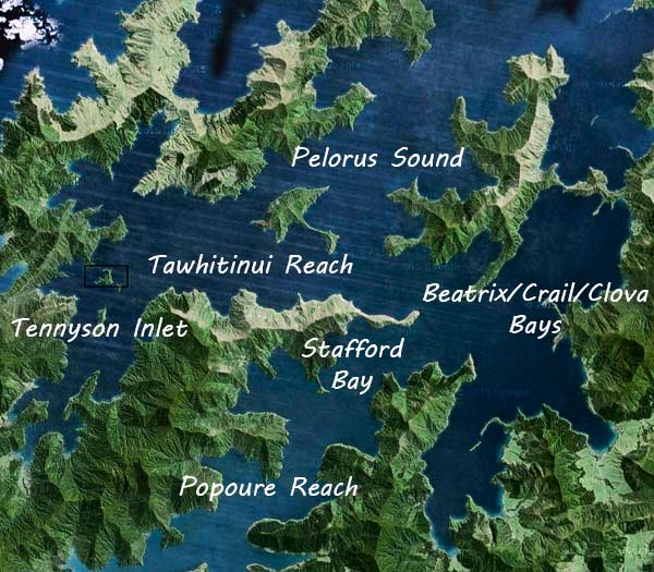
The map below shows where we went from Stafford Bay (in the Popoure Reach) to the Kenepuru Sound and Portage Bay. Just below that is Mahau Sound and the town of Havelock, where we didn’t plan to go but things change. Click on the markers to see what’s what, or zoom in and out.
As we headed into the Kenepuru Sound, we were surprised to have to make our way through a field of logs and tree debris.
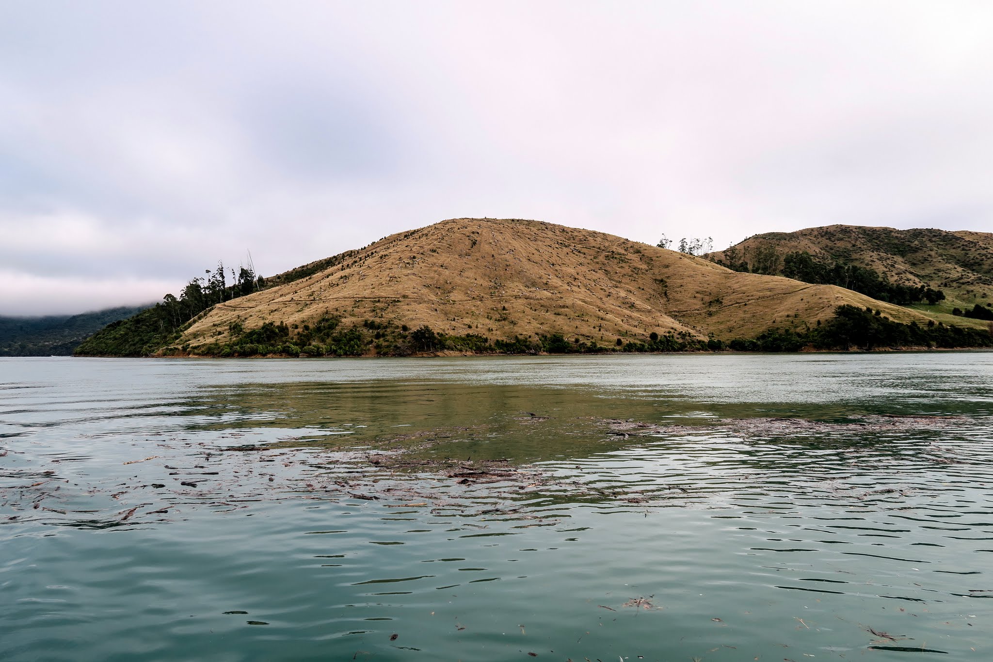
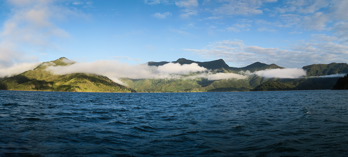
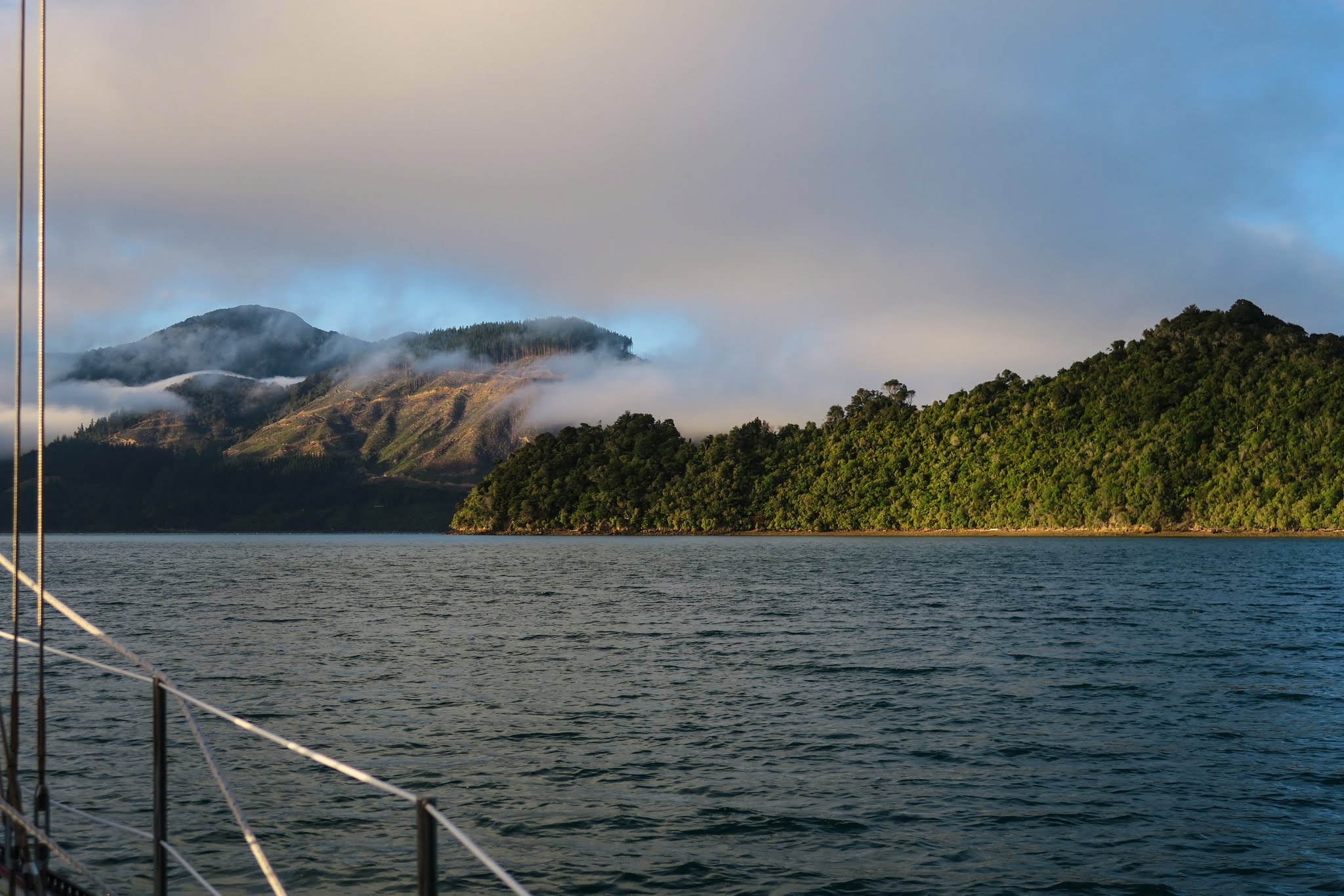
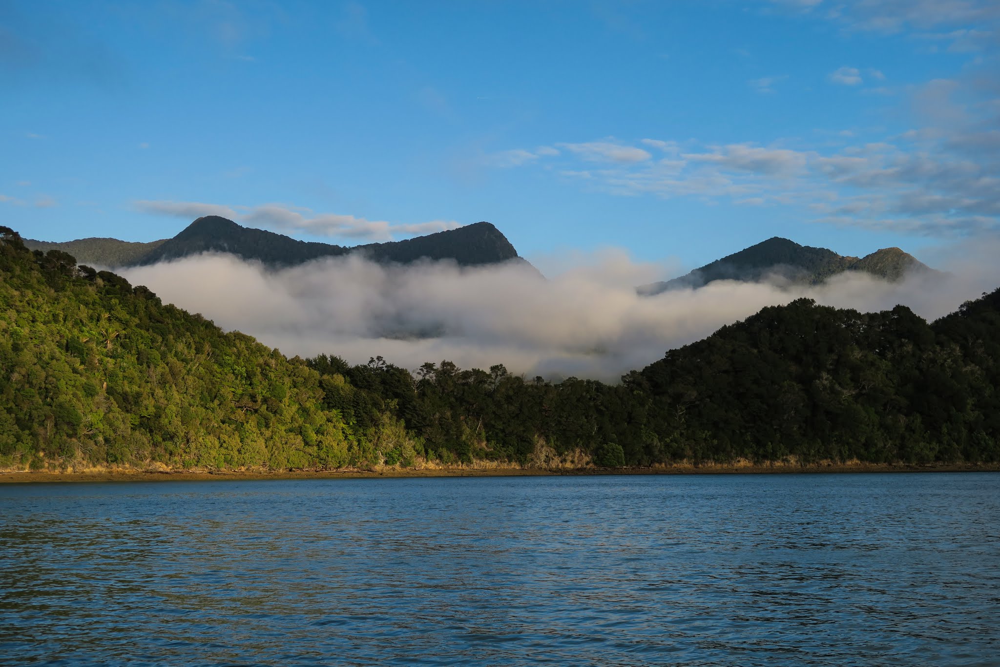
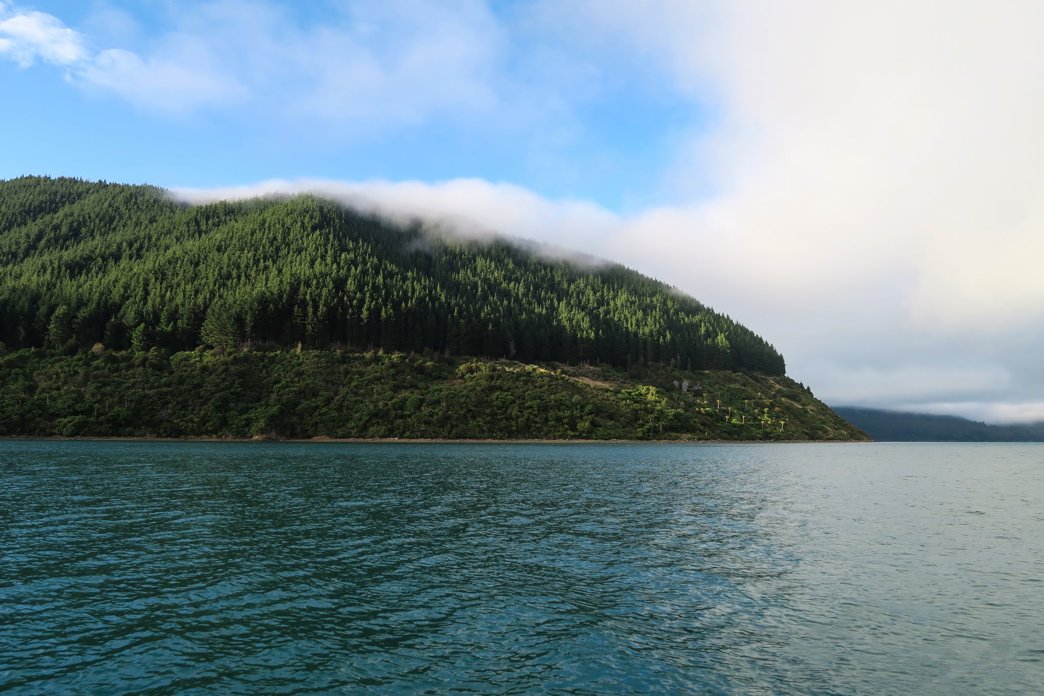
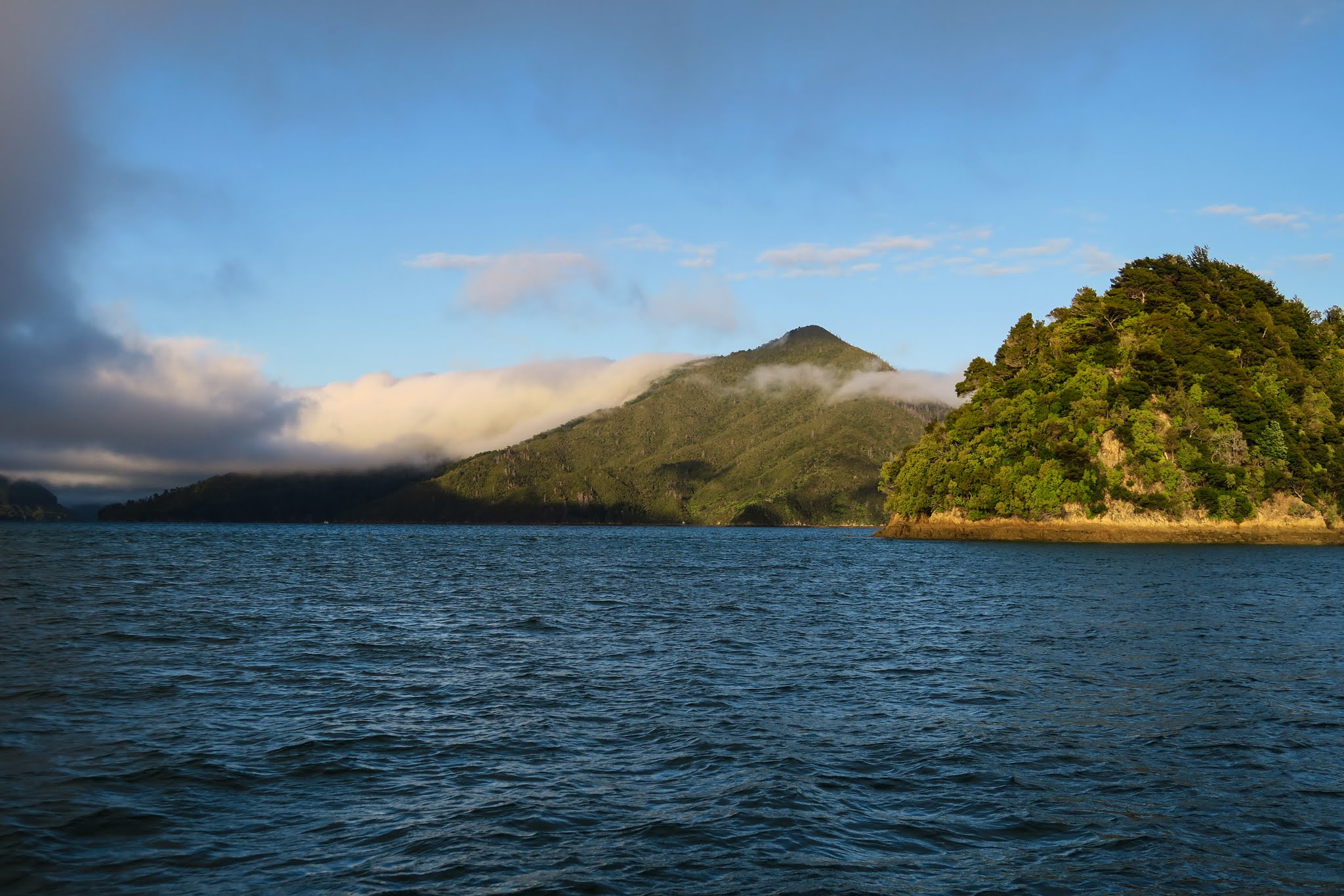
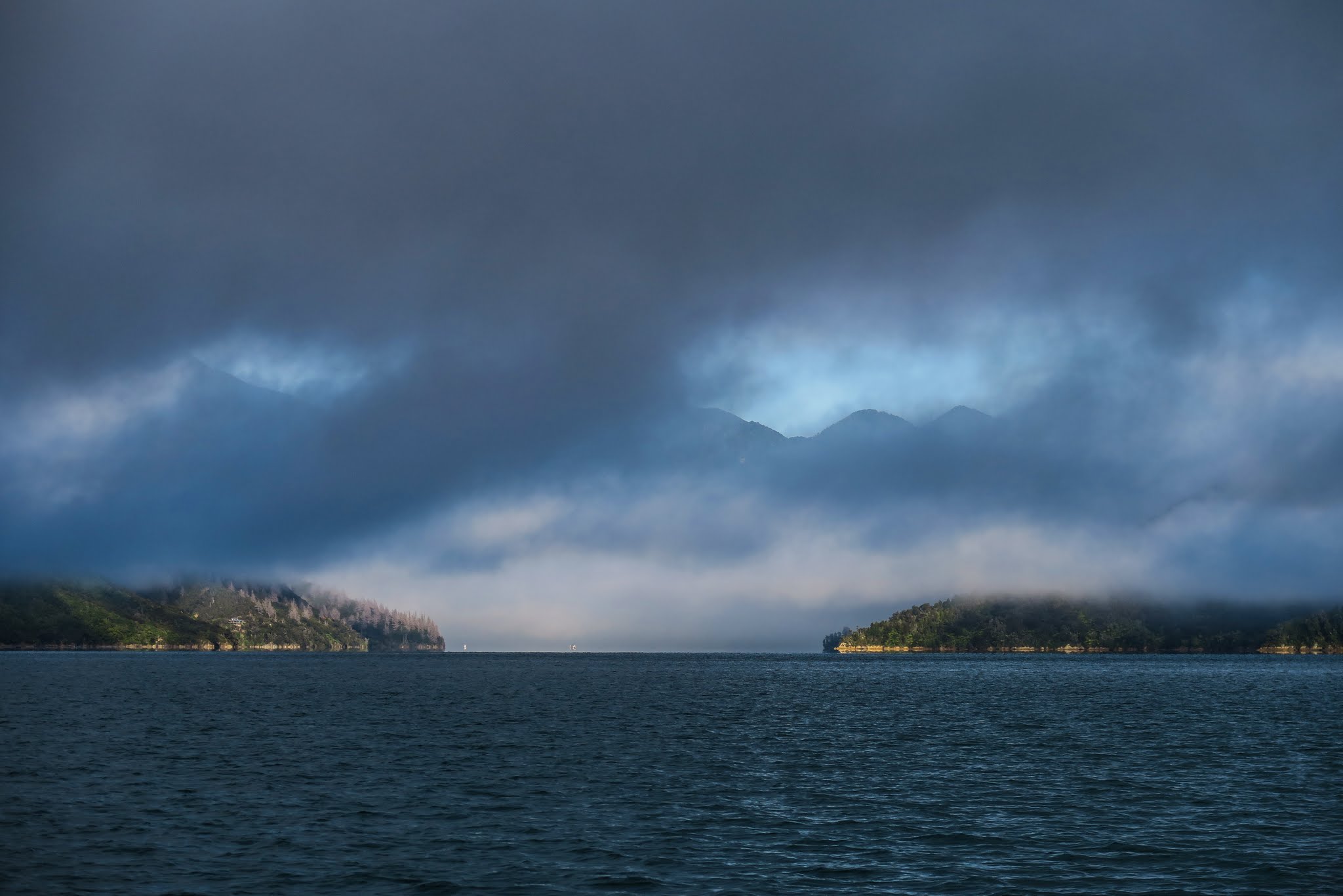
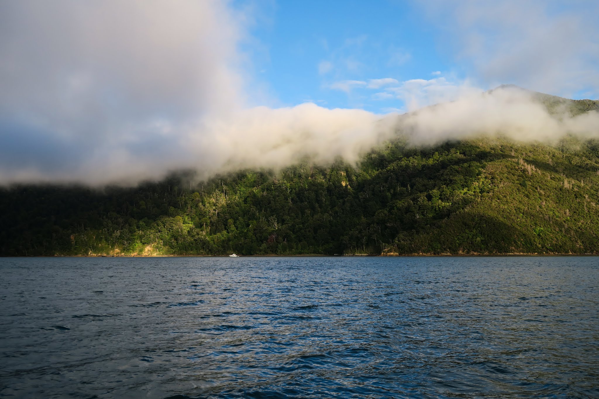
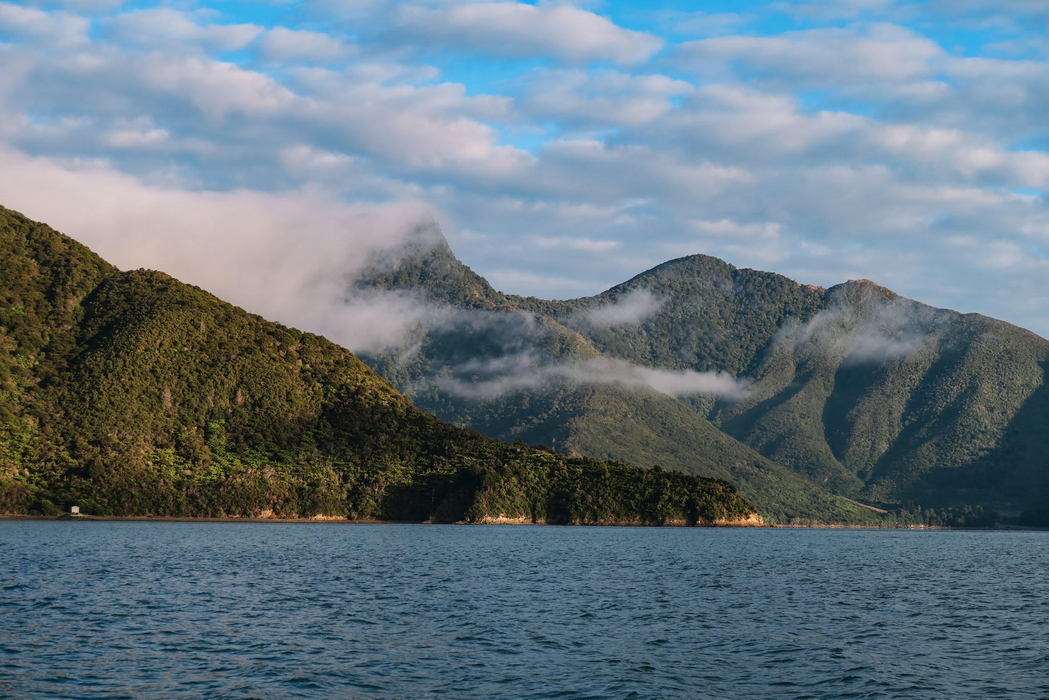
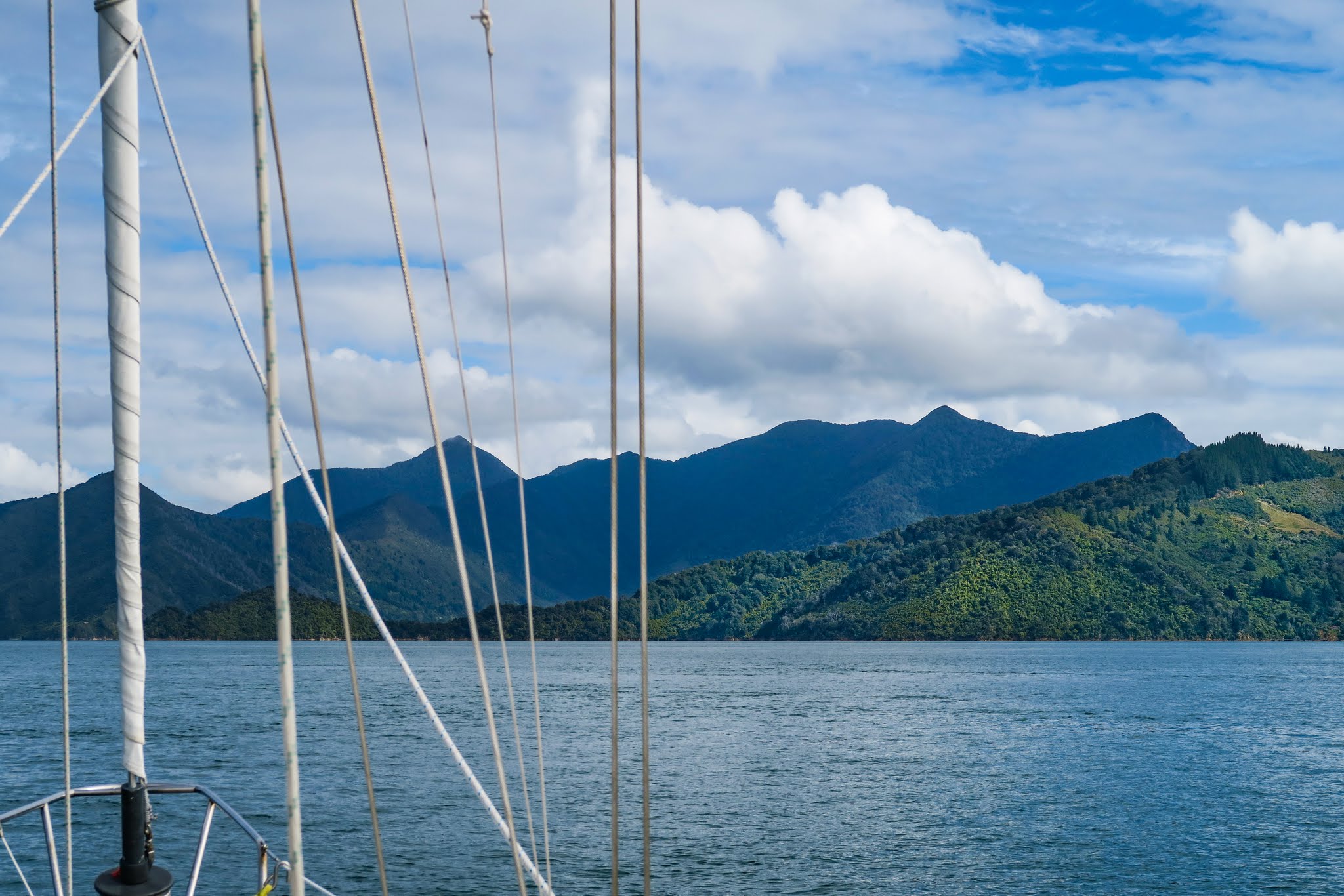
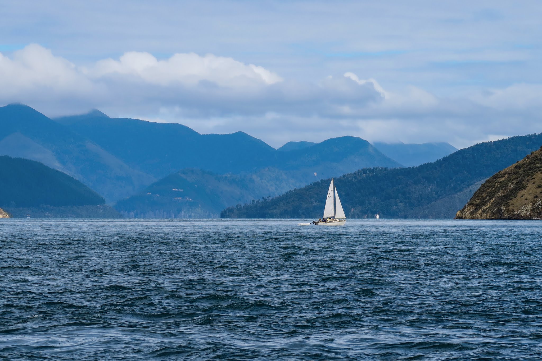
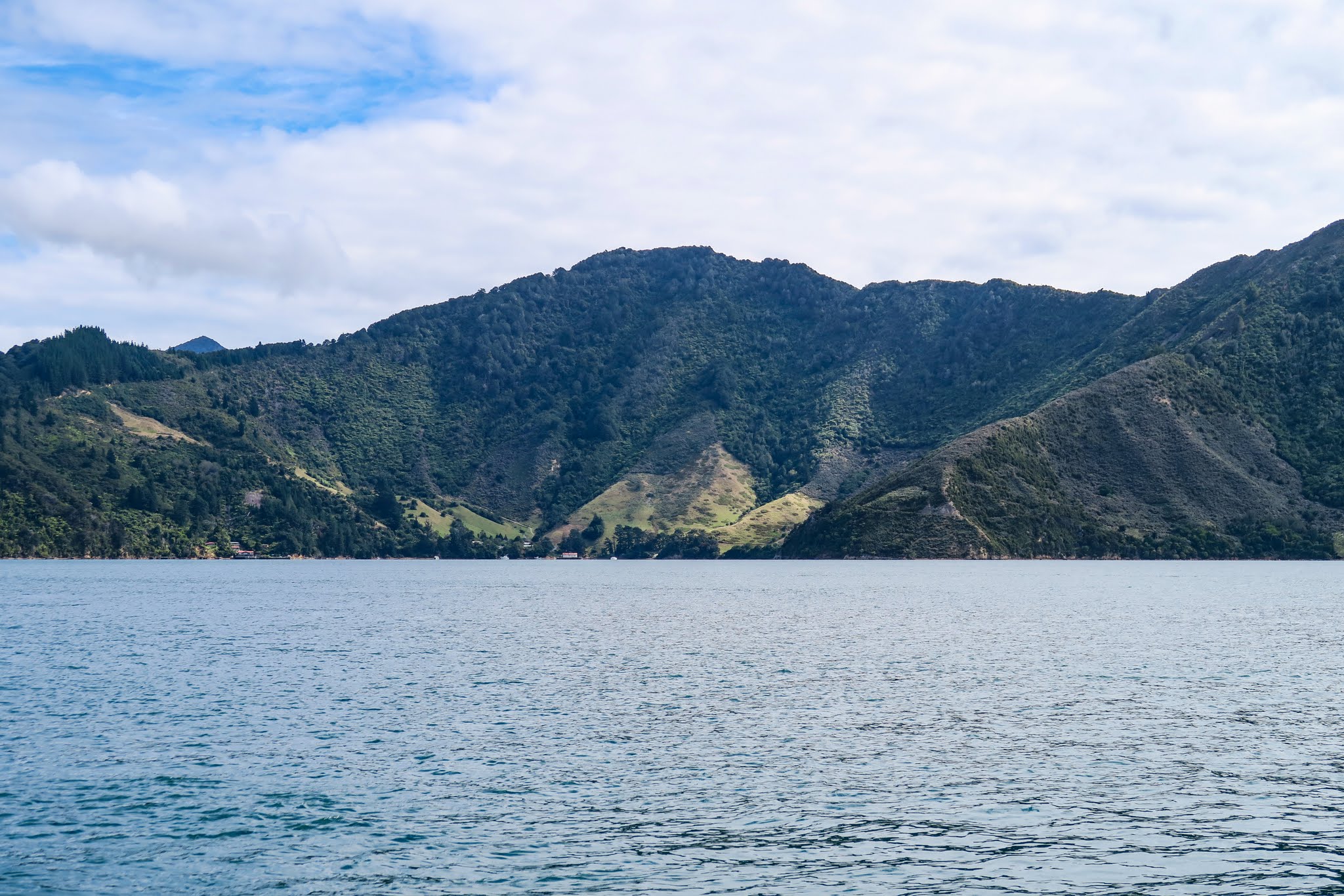
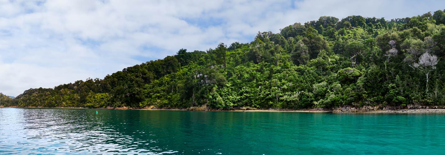
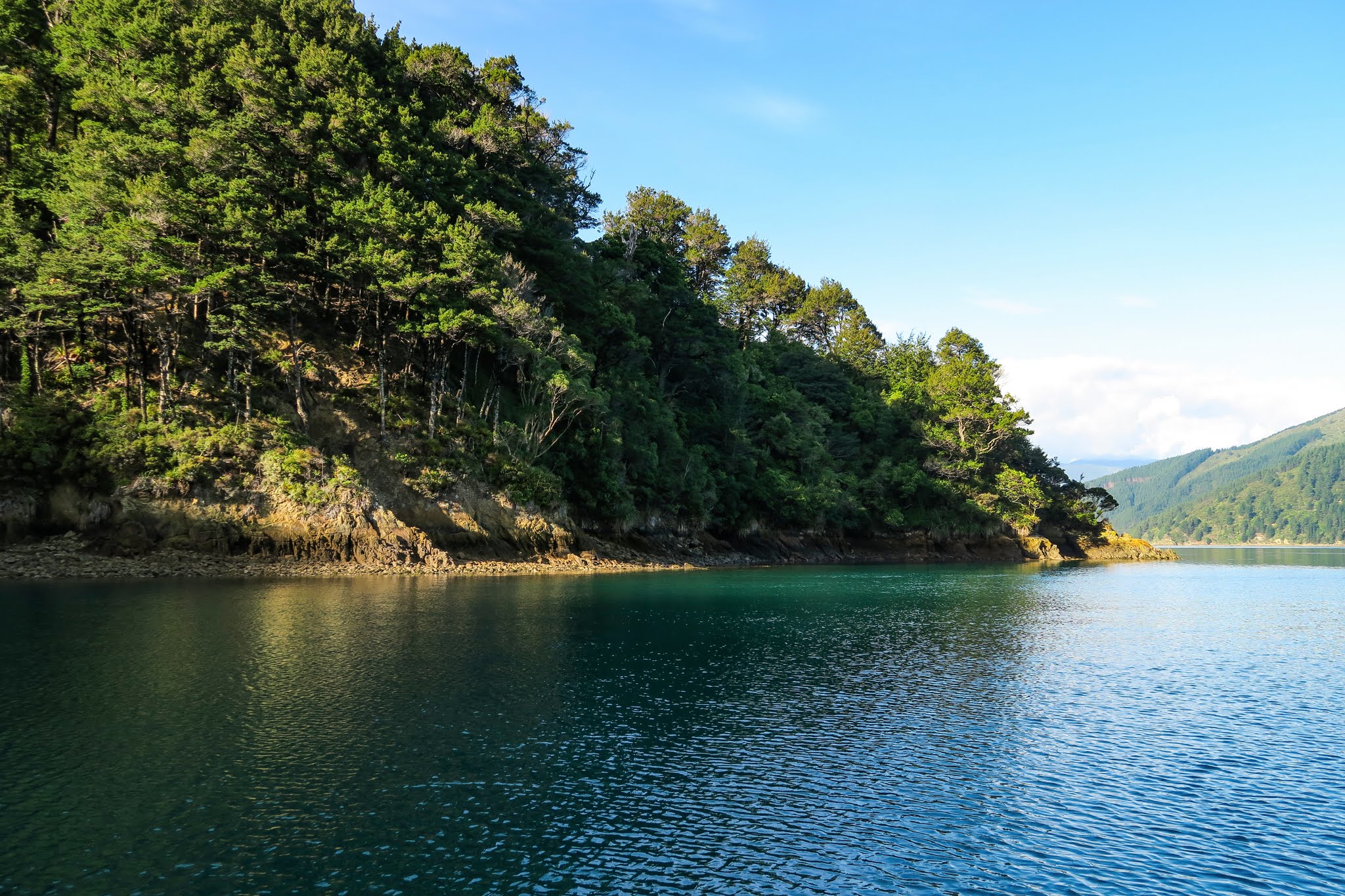
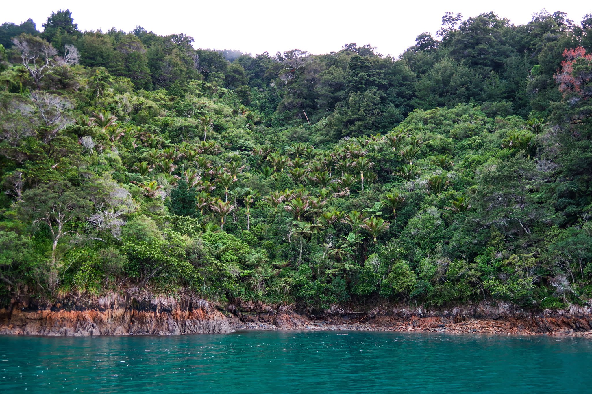
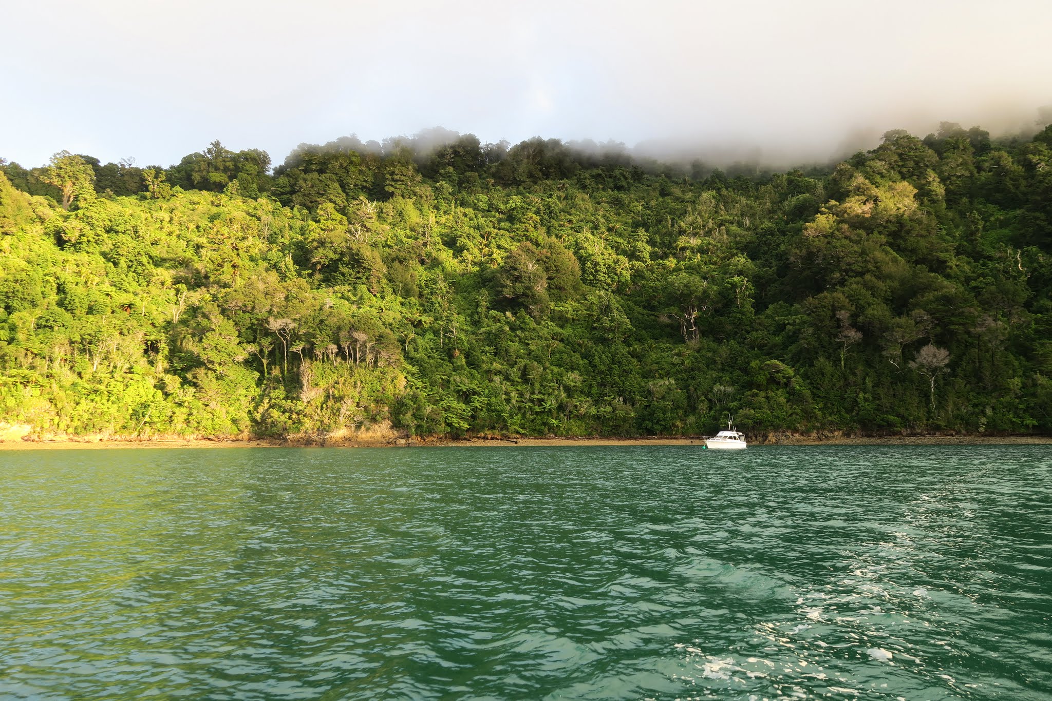
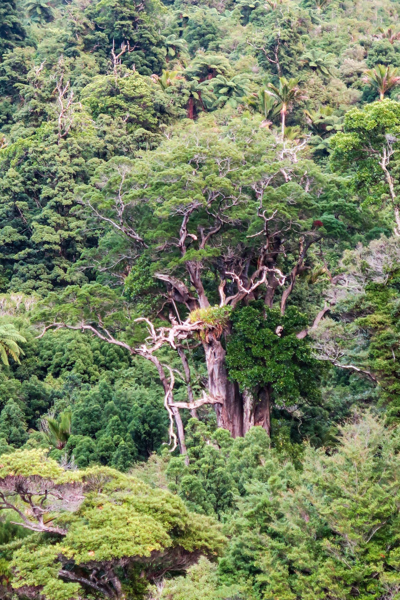
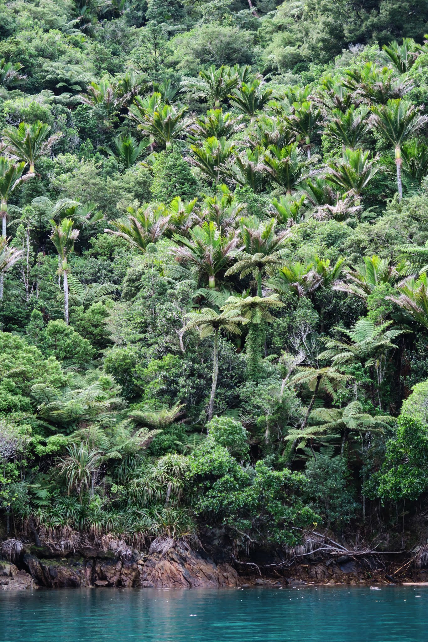
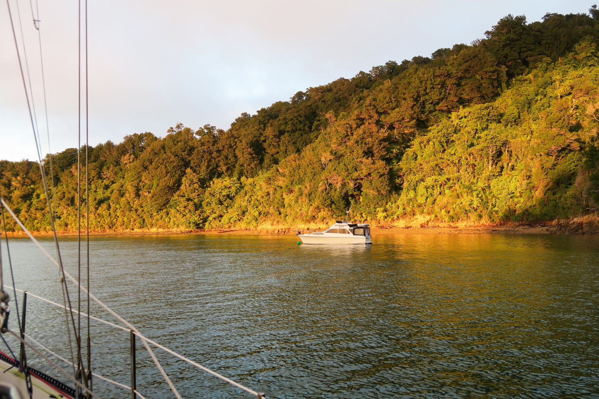
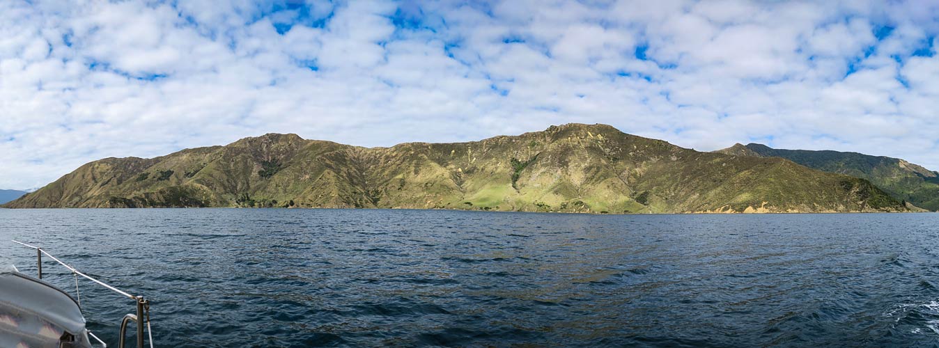
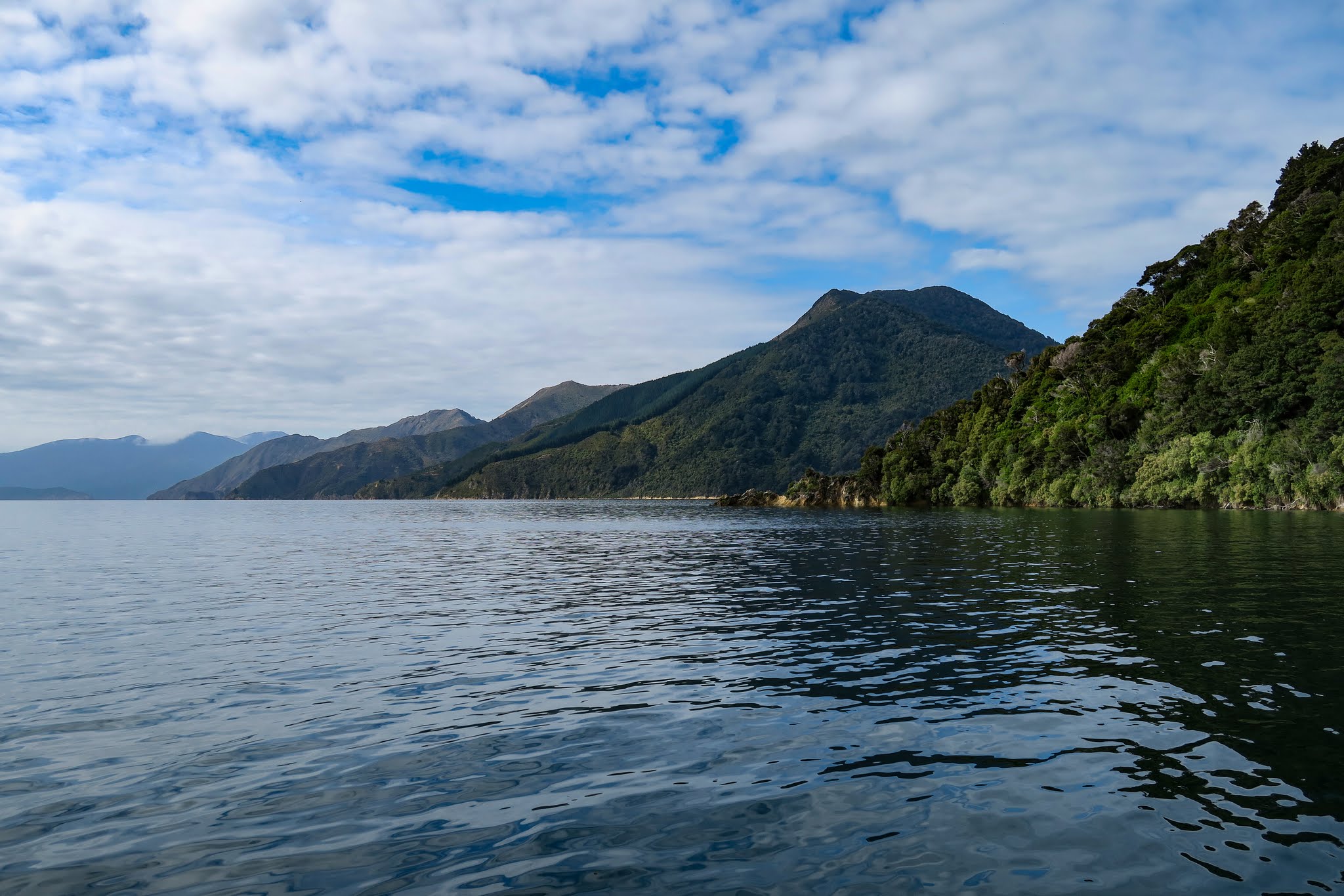
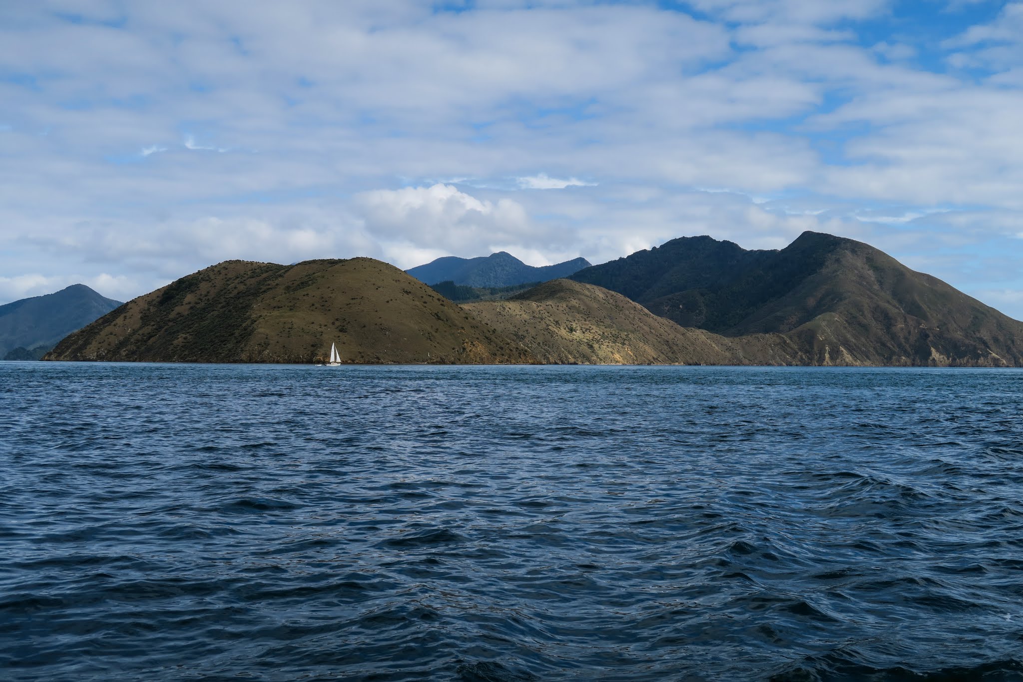
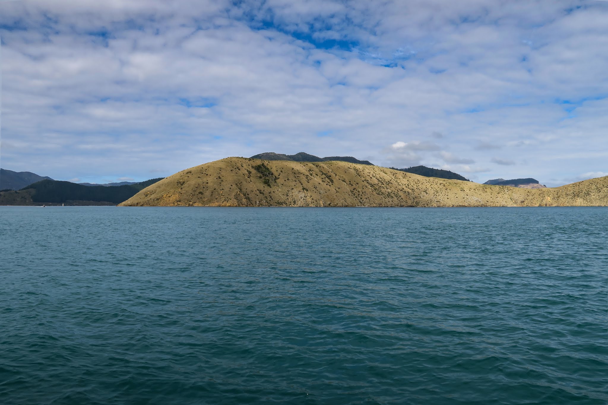
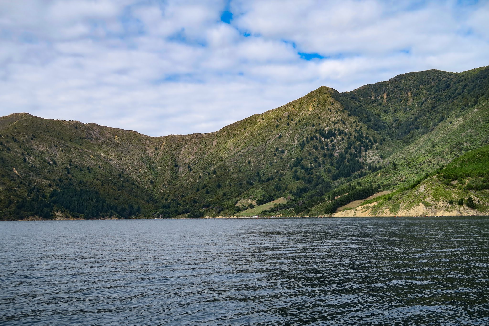
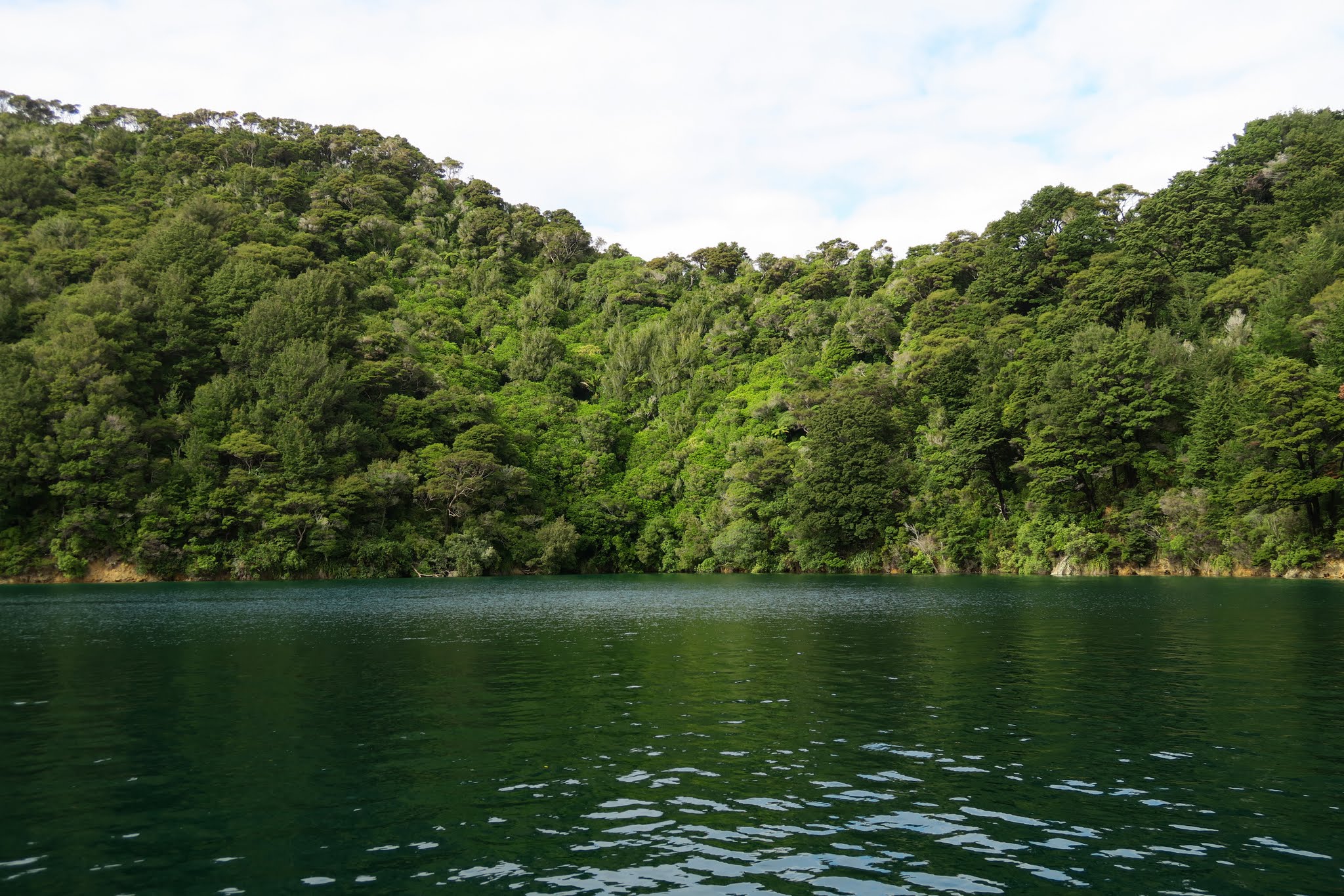
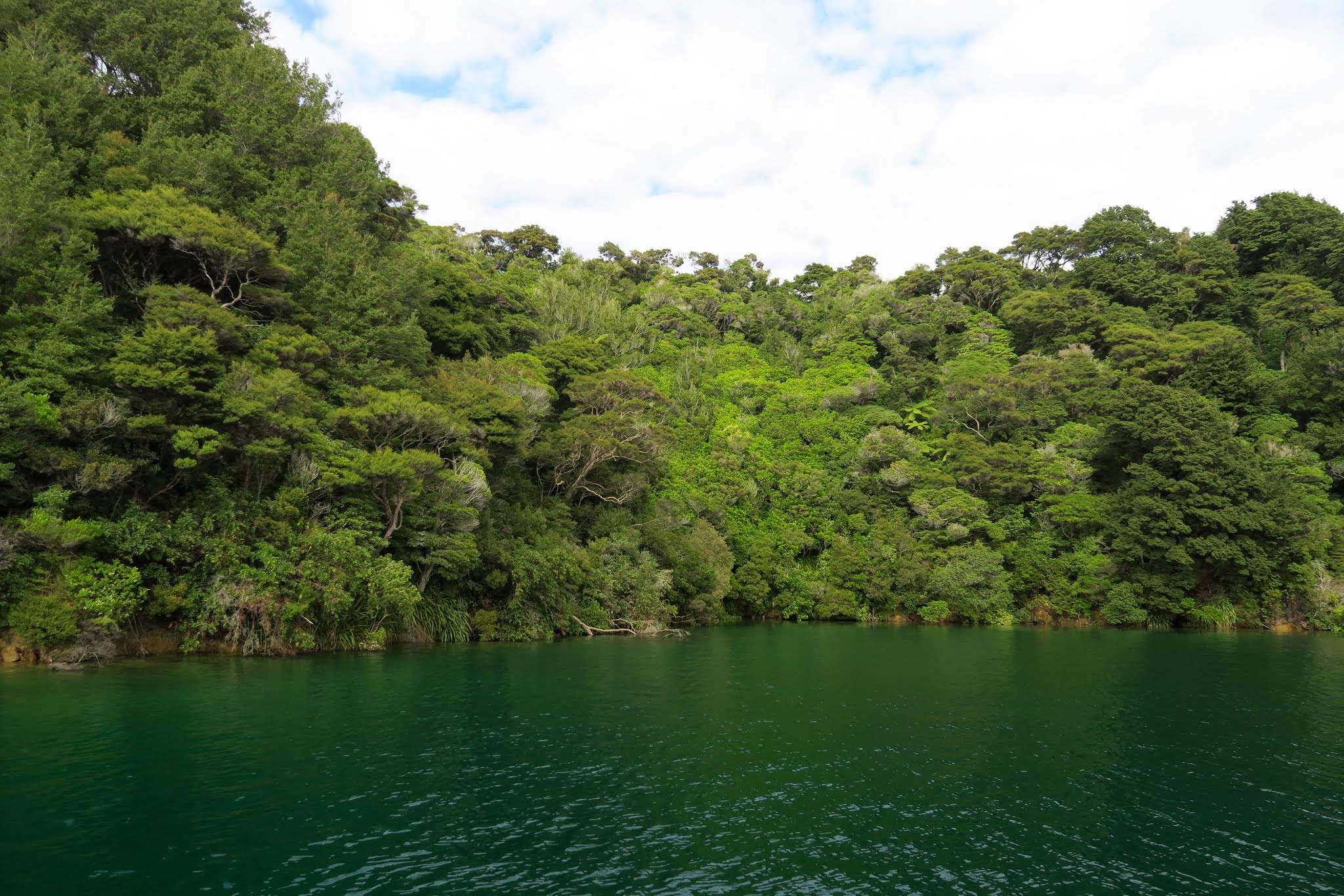
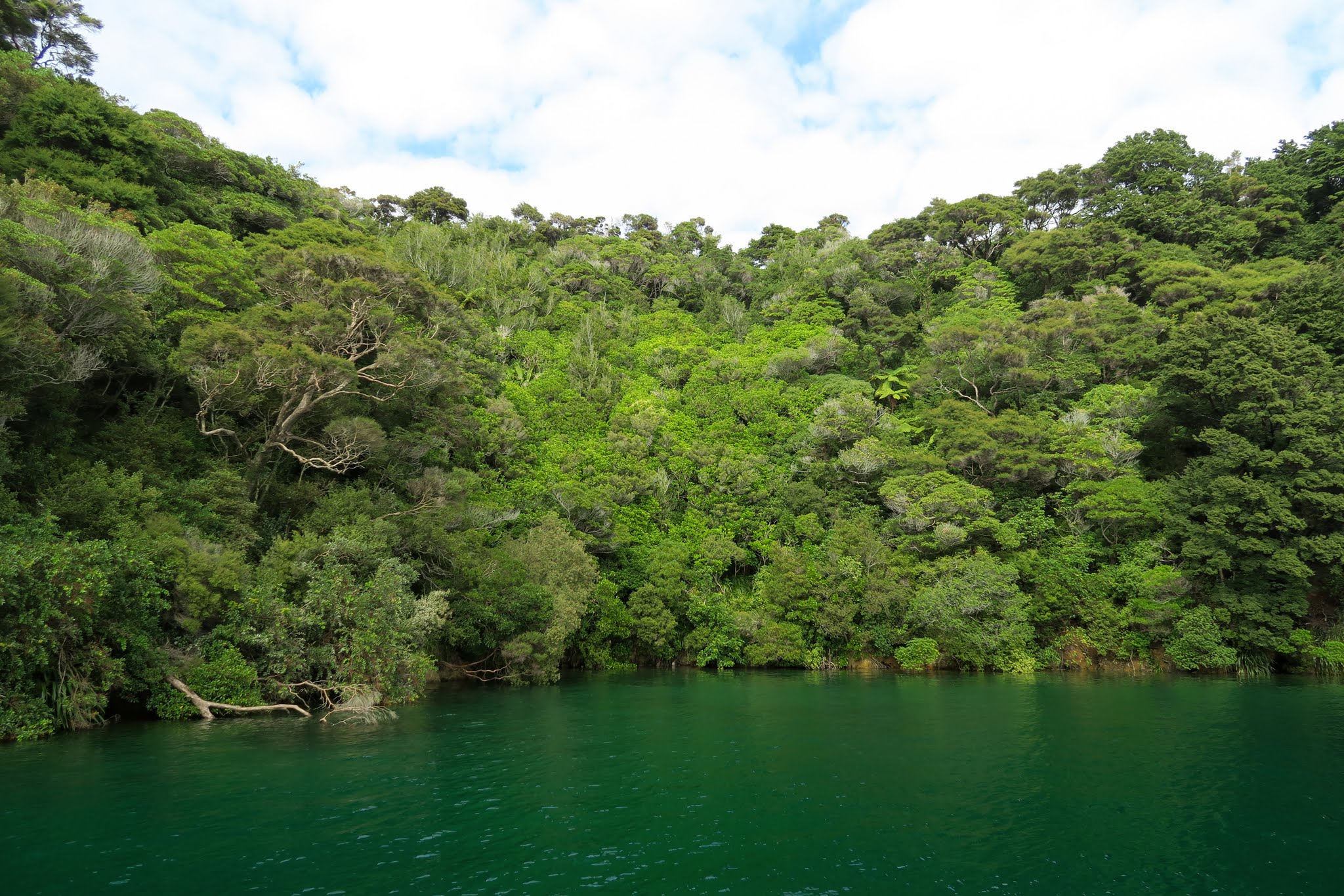
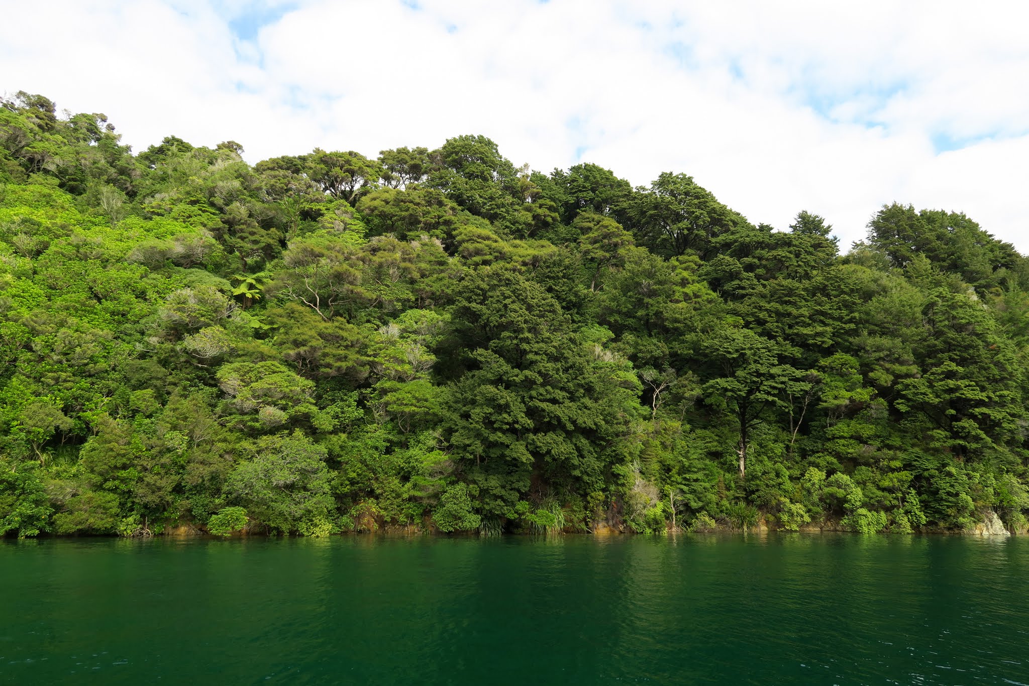
Once we got through all that, we could appreciate our surroundings. For awhile, we had pine forest on one side vs. grass and cut forest on the other. Then about 3 miles in, it all abruptly changed natural forest. We began to see some tempting-looking anchorages, but our destination was Portage Bay. (Below a gallery of photos from Kenepuru Sound. Click to enlarge and scroll.)
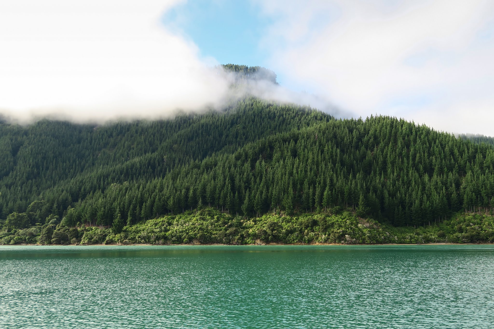
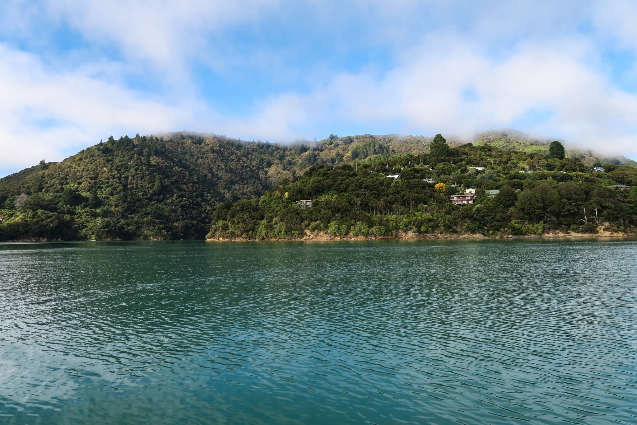
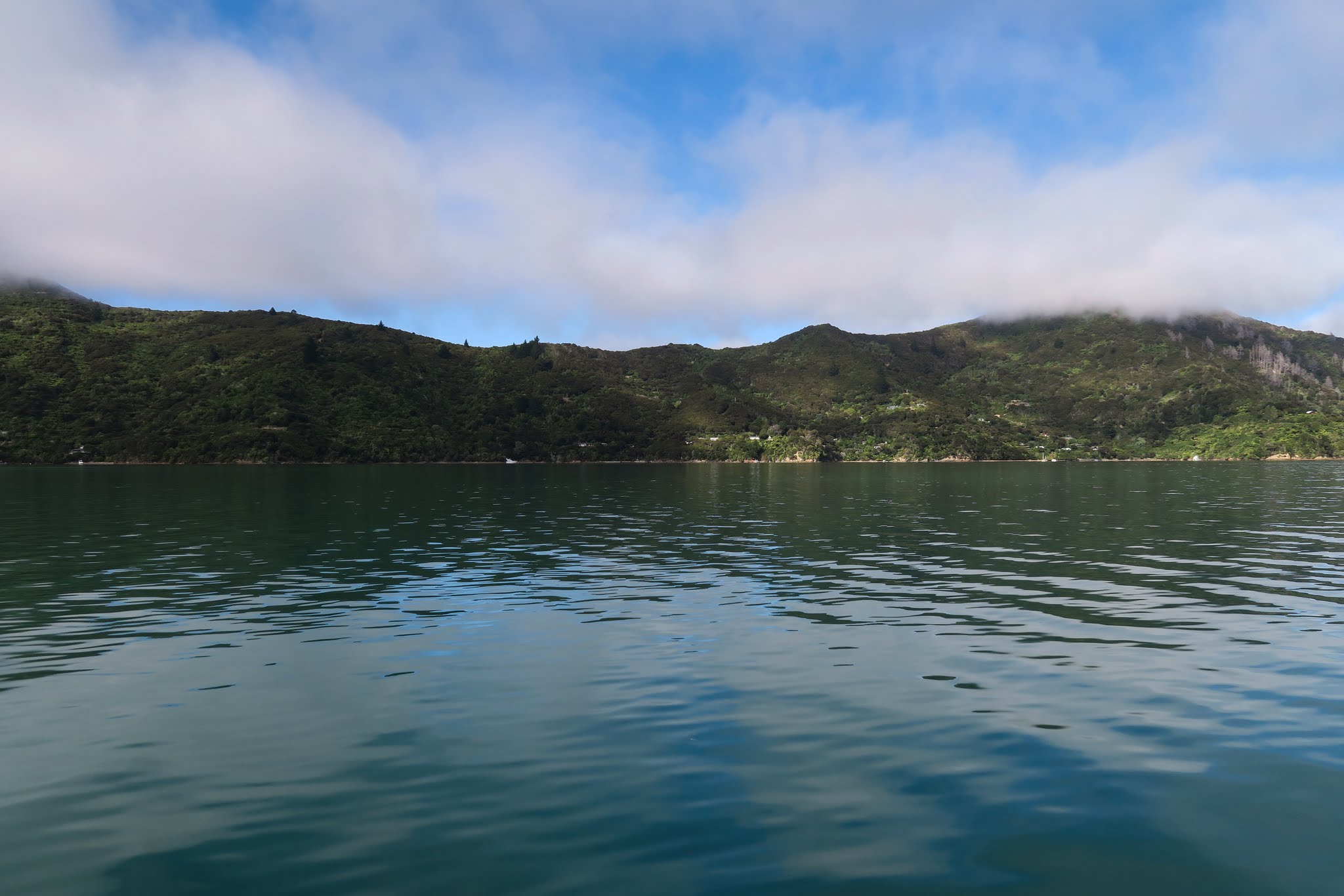
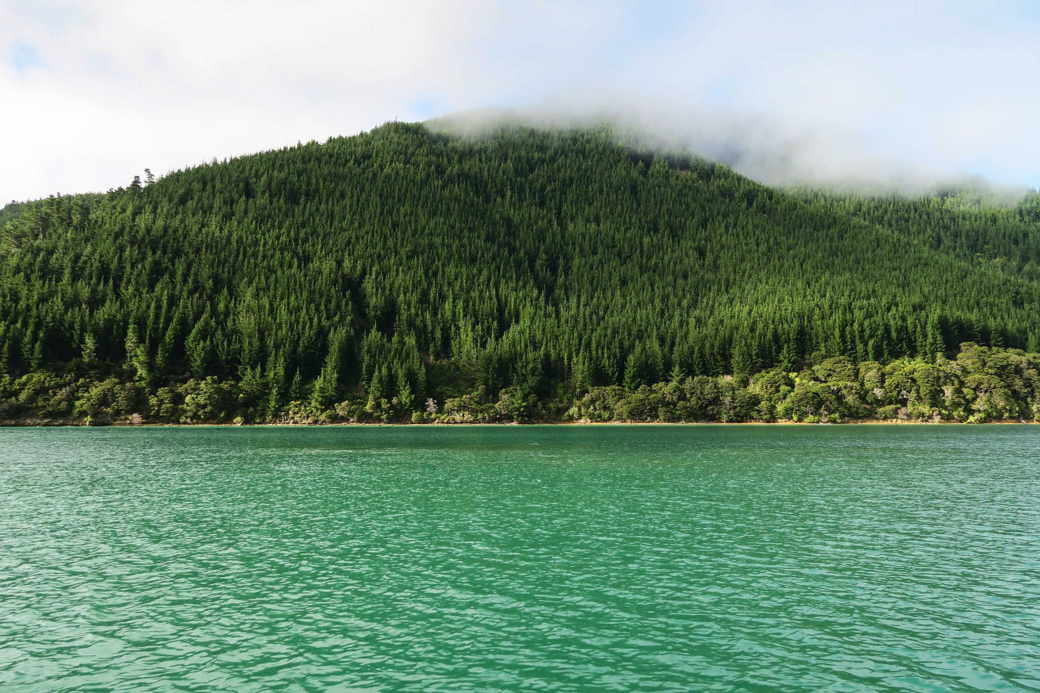

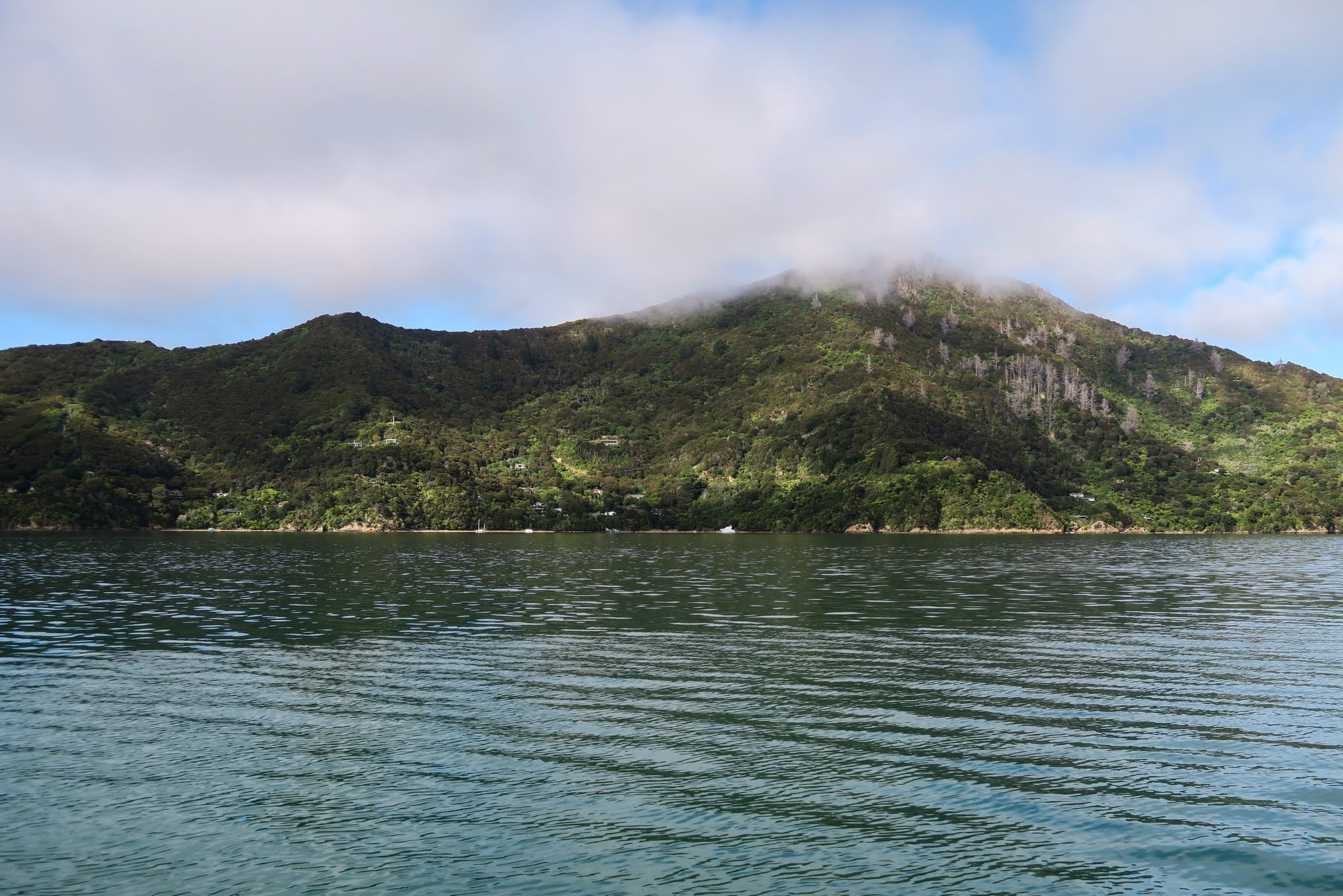
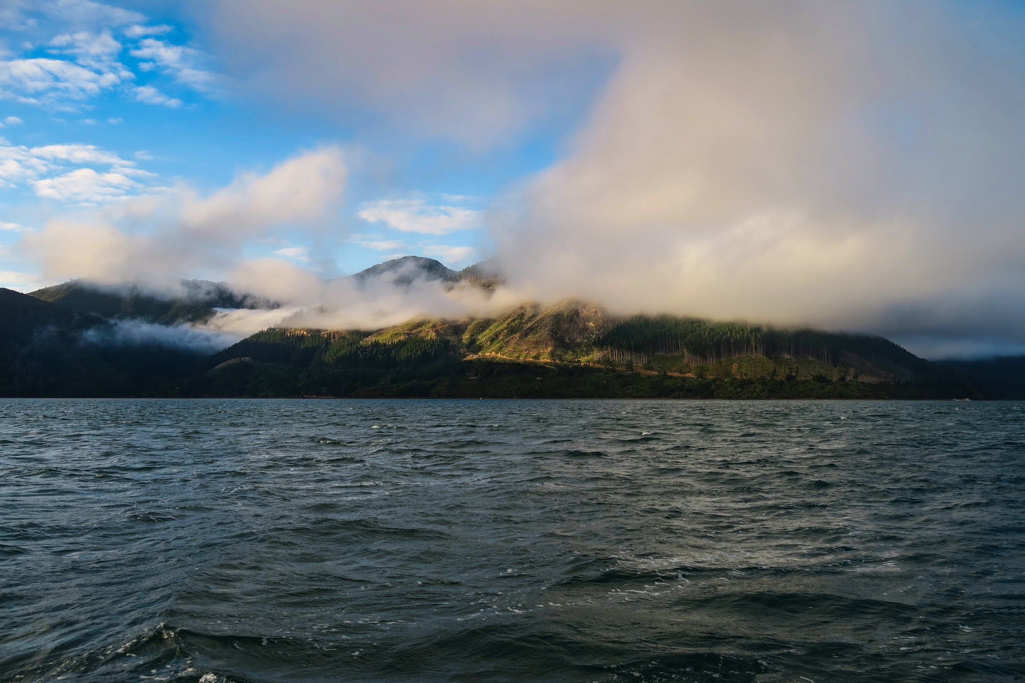
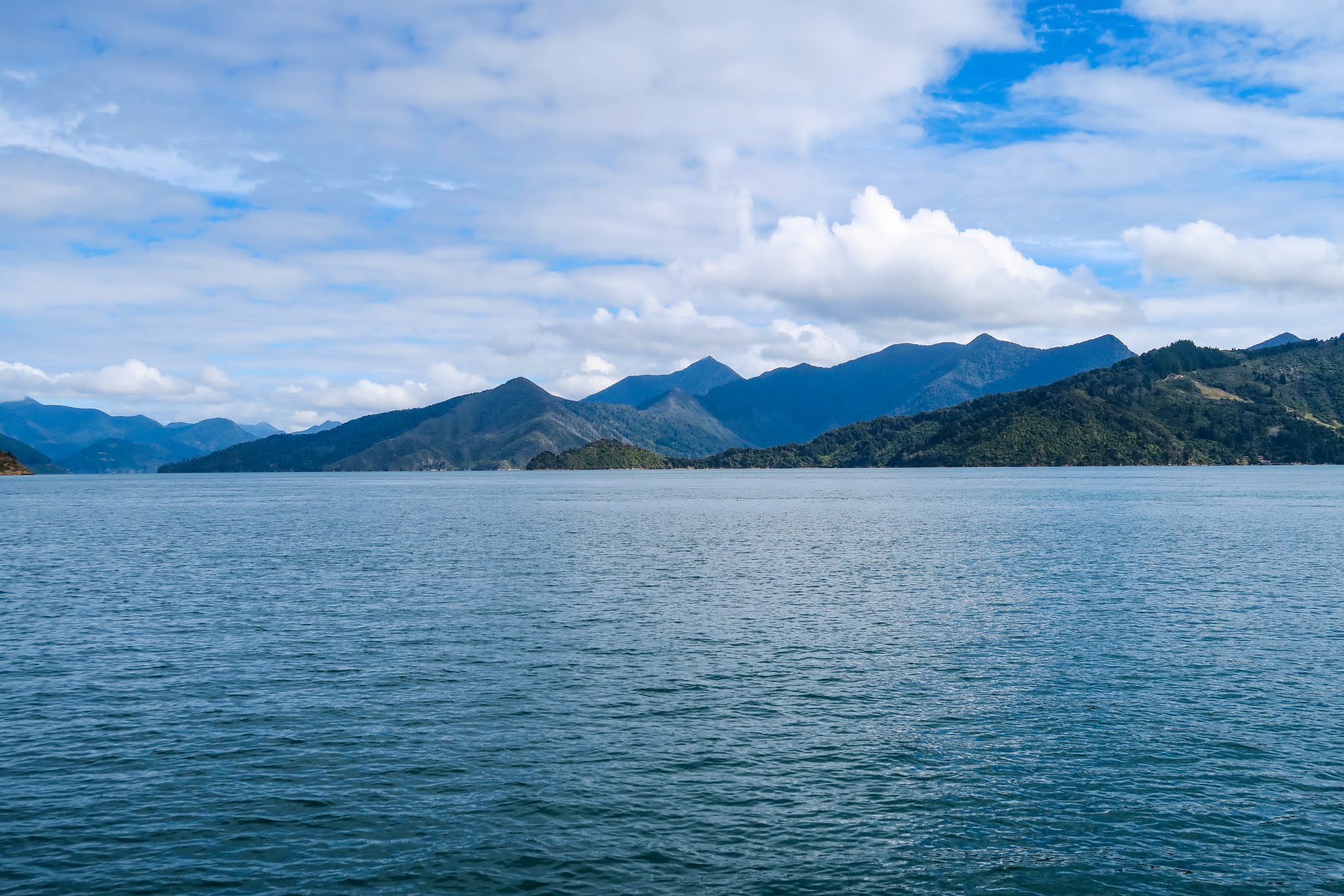
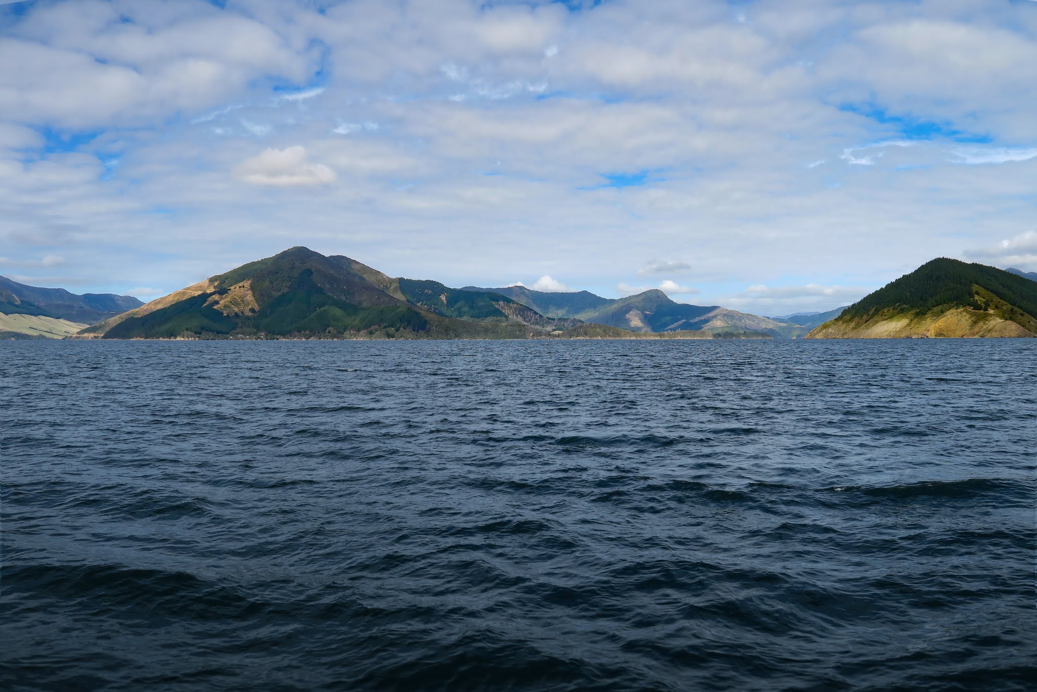
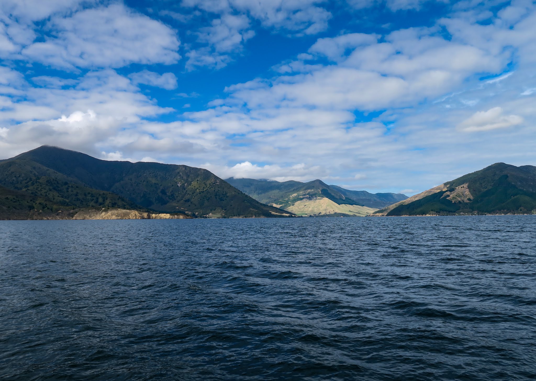
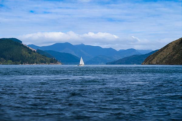
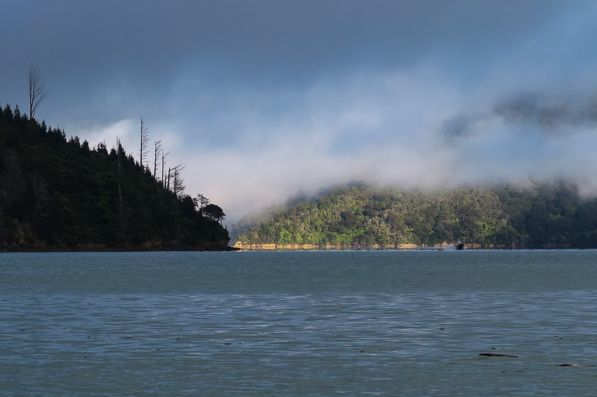
As the fog lifted, we enjoyed seeing the hills and mountains emerging around us. Kenepuru was living up to its reputation as one of the prettiest sounds. –Cyndi