February 4, 2014
There are a handful of trails leading to the summit of Rangitoto Island. Most visitors are day trippers who get dropped off at a small wharf on the south side of the island. From there, it’s easy to find the main track: the Rangitoto Summit track, where the walk to the summit takes about an hour.
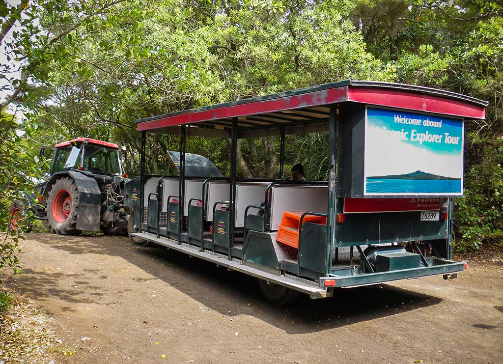
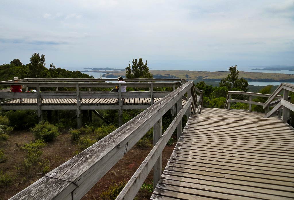
The walk isn’t difficult, much of it on a gradual slope until it nears the top, at which point there’s a wooden walkway and stairs. Still, those too lazy to do the hike can take a 4-wheel drive “road train” to the stairs, sort of a trolley car pulled by a tractor.
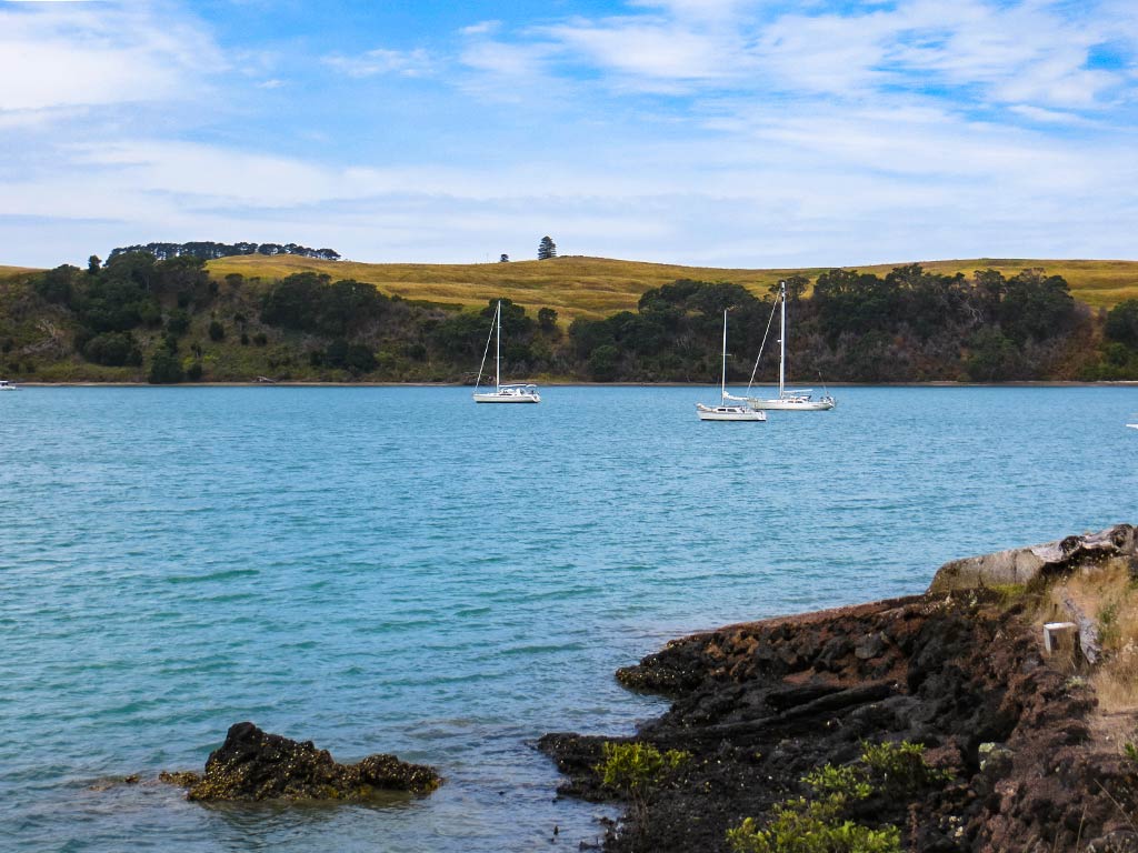
Since the Summit Trail was located far from our anchorage; we’d have to take another route, the Islington Bay Trail, which was a little longer and didn’t offer the road train. Since we fall into the “too lazy to hike” category ourselves, this was a disappointment. We’d just have to buck it up and use our appendages.
And so we got in our dinghy and headed to Yankee Wharf, a small boat ramp in our bay. I’d hoped for a sunny day, but the overcast sky stubbornly remained. I was lamenting this until we chatted with people on a neighboring boat. They warned us to bring plenty of water as the island’s black rocky soil really heats up in the sun, making both the ground and the walk quite hot. Huh, maybe today’s clouds would be a blessing in disguise.
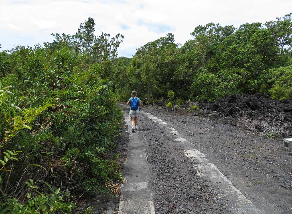
At the boat ramp we go to test our new dinghy wheels, and they worked so well we kicked ourselves for not doing this earlier. We parked the dinghy, changed into our walking shoes, and headed down the path. Below, a few photos from the path along the shoreline (click to enlarge any photo in galleries that follow).
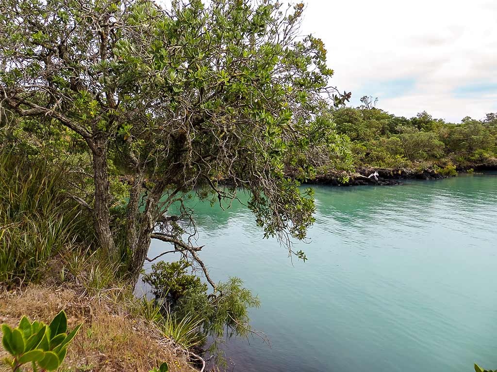
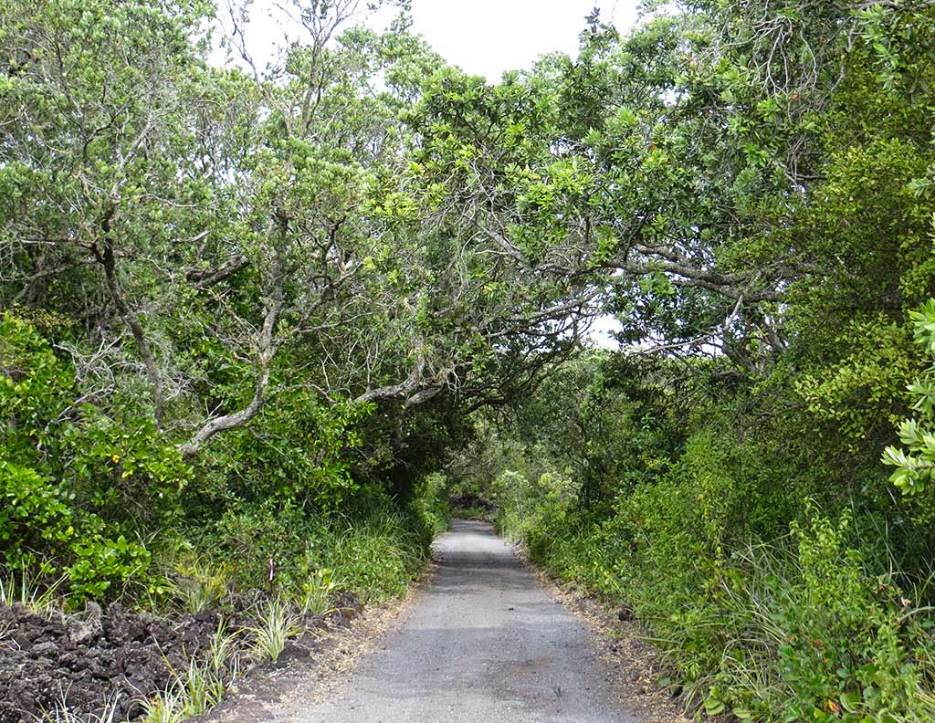
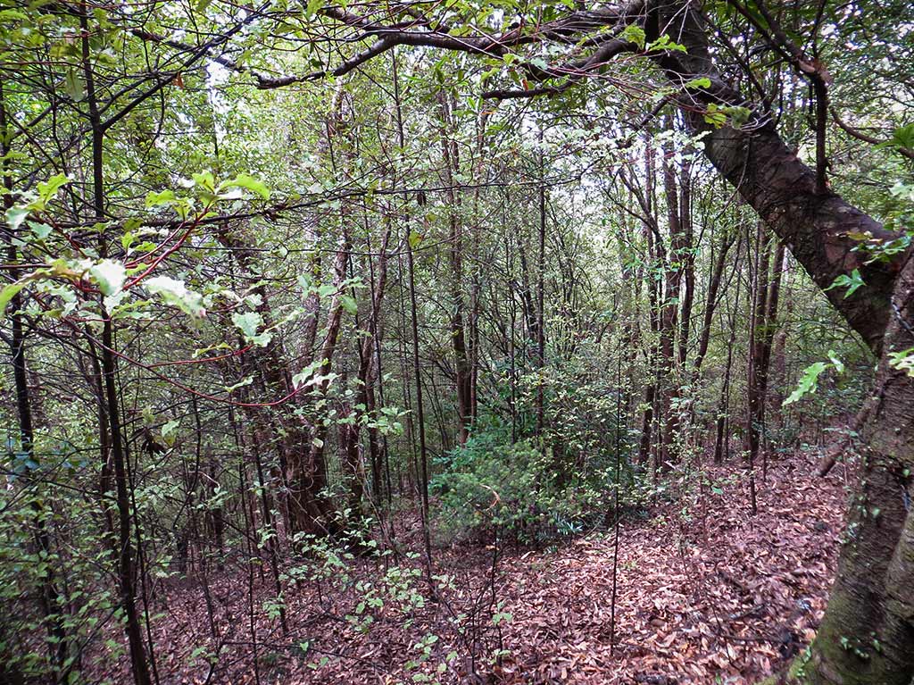
The amount of lava rock on this island was impressive. There was also green bush, but it was short and stubby, with many areas of rock devoid of growth. We took the path along the shore for while before it joined with a small 2-track road and headed up the hill. For awhile the incline was gentle, then it got a bit steeper and the trees thicker. The higher we climbed, the more green and forested our surroundings became.
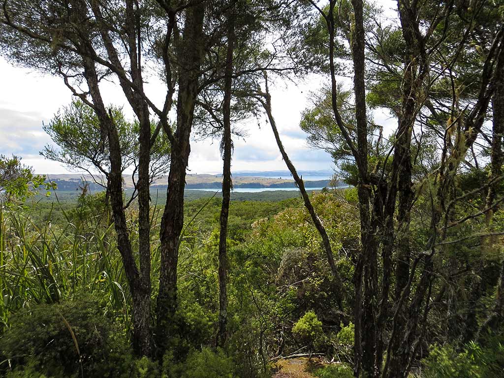
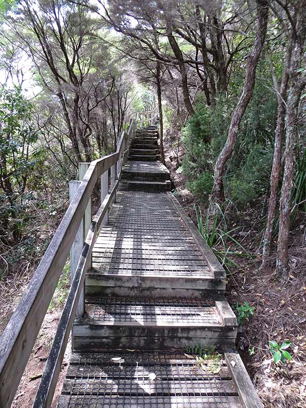
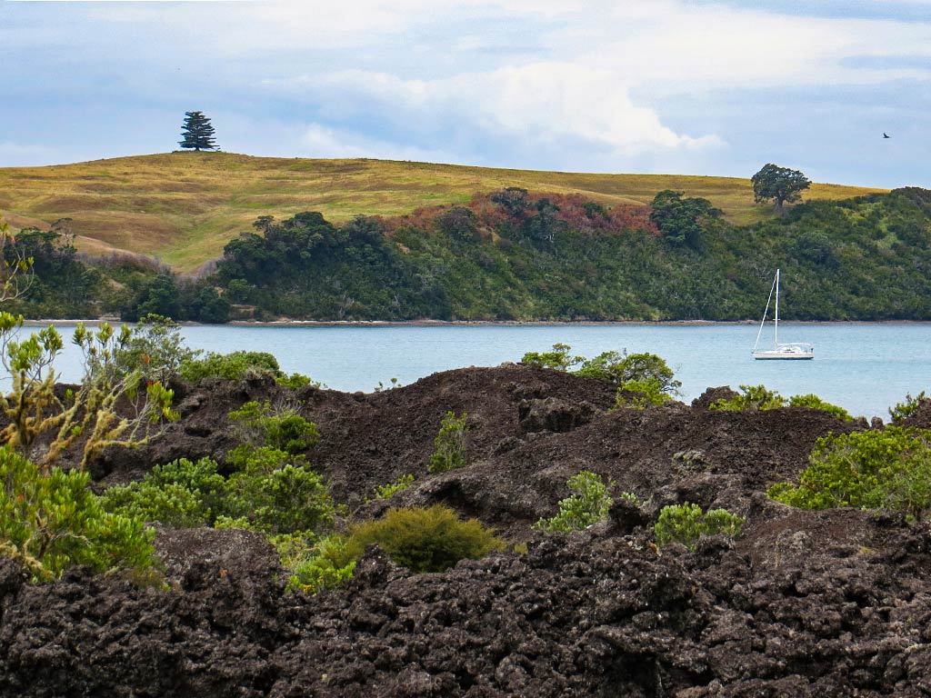
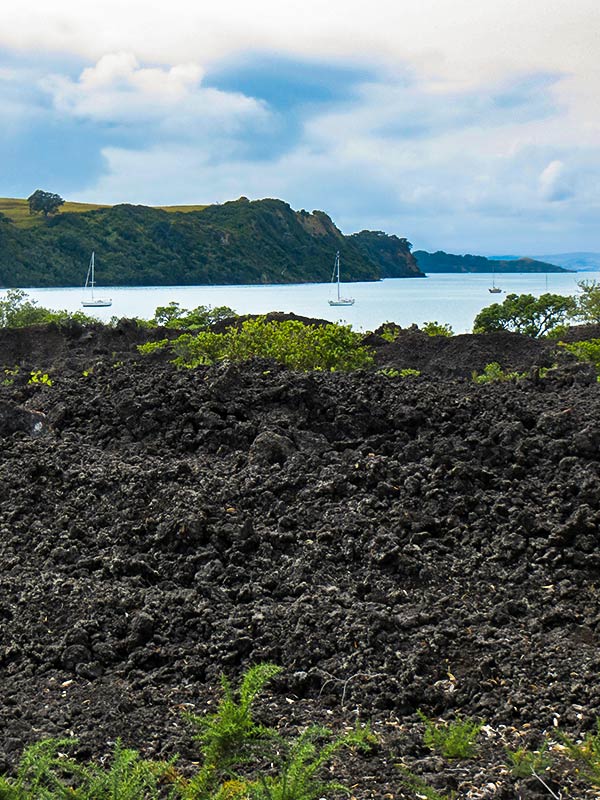
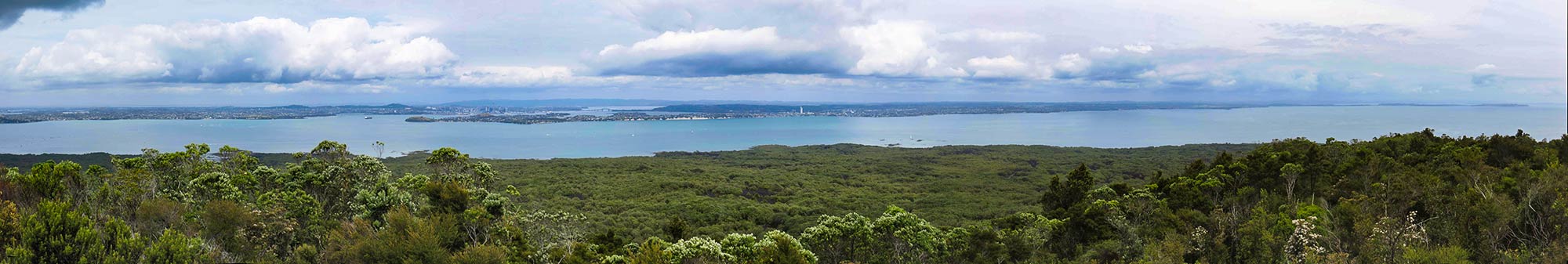
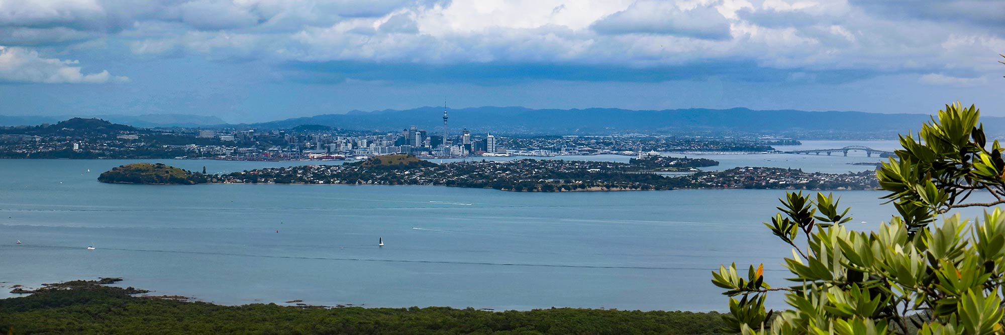
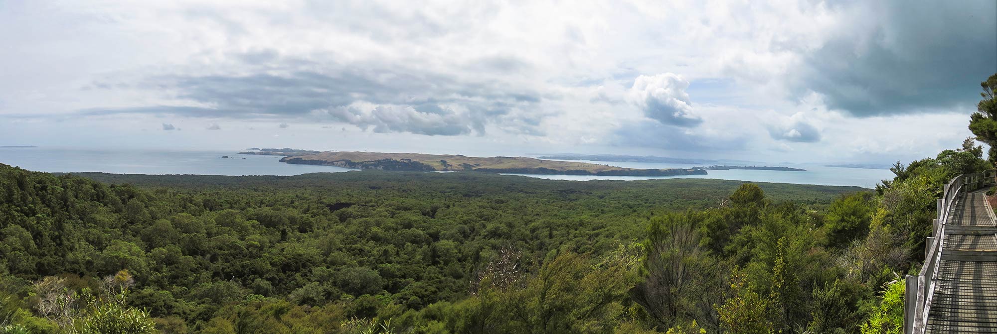
Finally we came to a boardwalk and stairs. Up we went, the stairs getting steep for awhile but delivering us at last to the summit. We headed to the first viewing platform which hung right at the edge of the caldera, looking down into it, which was pretty impressive. From there we did the loop walk aorund the rim, getting terrific views of the Hauraki Gulf and Auckland. So many times we’ve looked out at this peak from Auckland; so now it was fun to see the view from the other side!
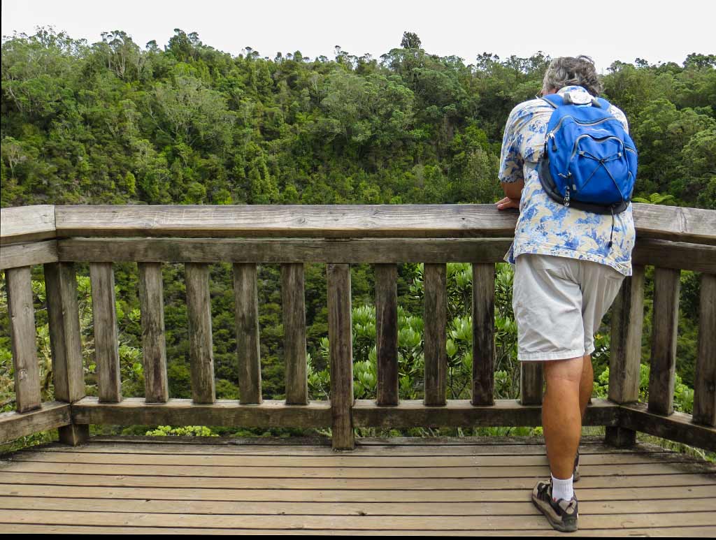

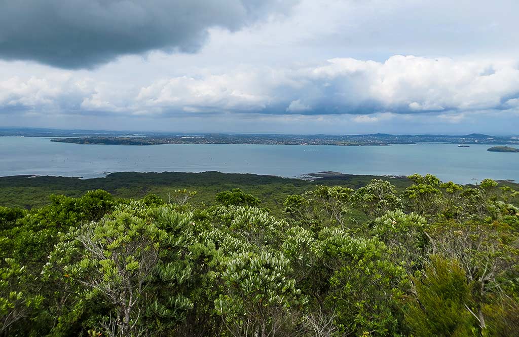
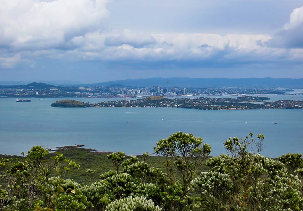
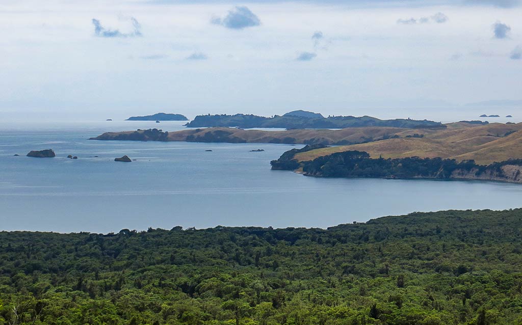
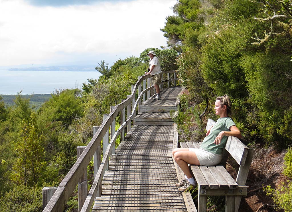
We continued around the rim, reaching more walkways and viewing platforms. The clouds remained, but now I was glad for them as the walk had indeed been quite warm, and I could imagine how hot it must get on a sunny day. Below, three panoramas from various viewpoints (you can click on any one to enlarge).
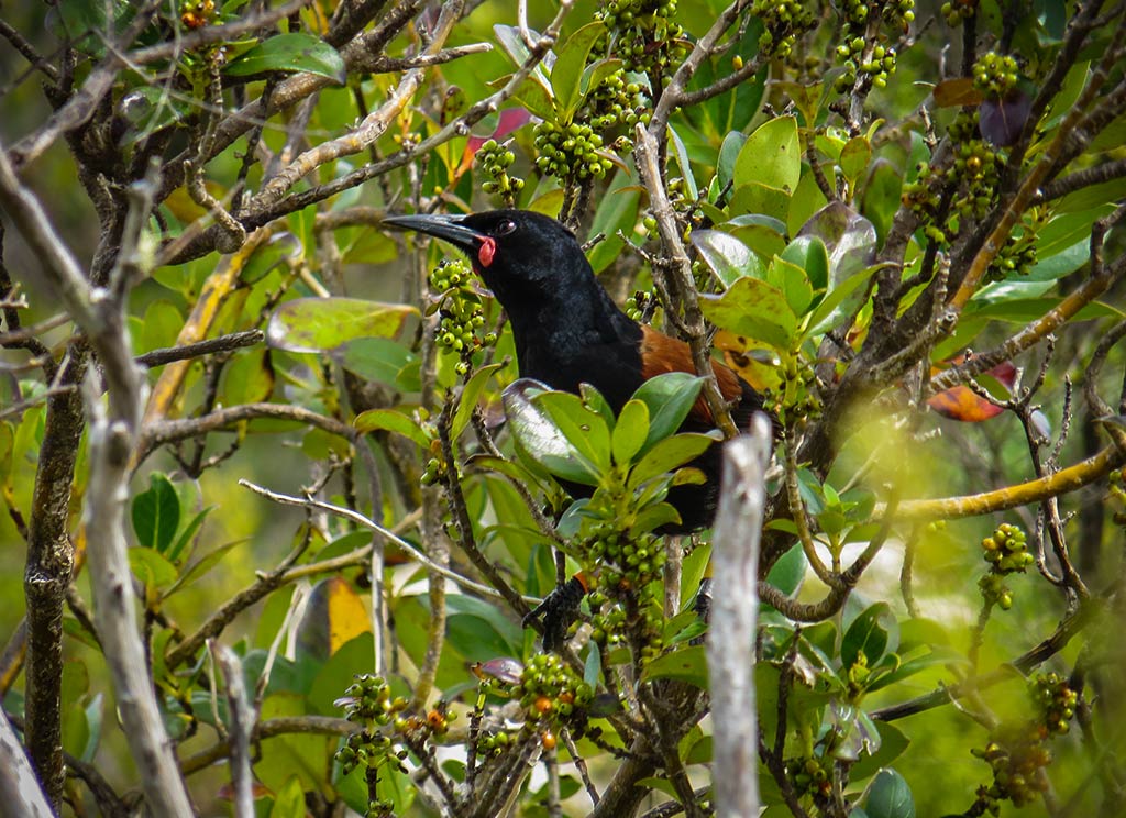
As we walked, we were thrilled to spot a saddleback, a rare bird usually only seen on New Zealand’s bird island sanctuaries. Rangitoto was still being cleared of non-native mammals, but it seems some Saddlebacks had made their way here, probably from Tiritiri Matangi (a bird sanctuary island) not too far away. We sat on a bench to enjoy a brownie and some water and spotted two more of them! We love New Zealand’s rare birds; so this was very exciting! –Cyndi (You can click on the photo below to see a close-up view of a saddleback, one of New Zealand’s rare birds.)