Learning a Difficult Lesson (Queensland, Australia)

Posted May 12, 2023
about September 11, 2022

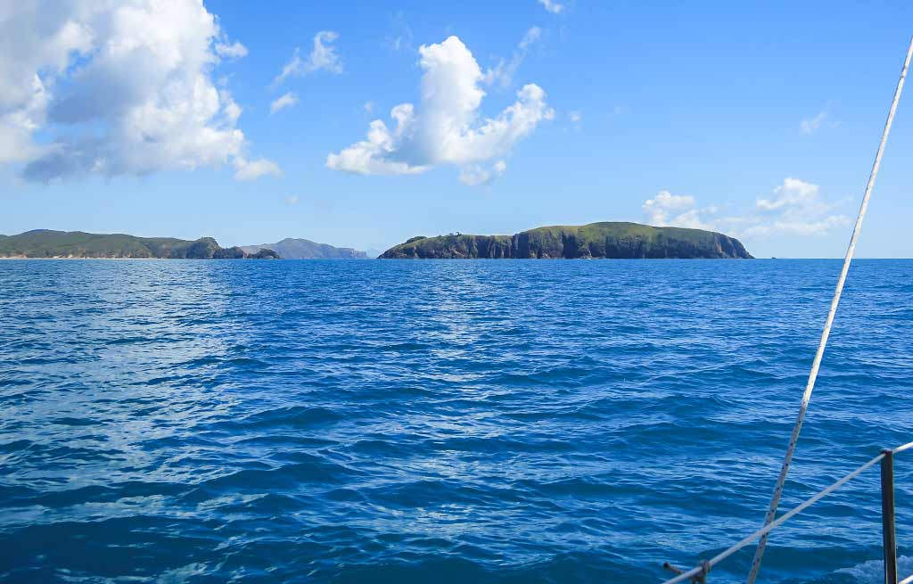
Our next destination after Pearl Bay was the Northumberland Islands, which actually refers to a large area of islands divided into seven smaller island groups (the Bedwell, Beverly, Duke, Flat, Broad Sound, and Percy island groups and the Guardfish Cluster). Yep, that’s a whole lot of islands, but many of these aren’t well protected or don’t have much to offer; so choosing where to stop was not as overwhelming as it might seem.

Below, an interactive map showing the area:

After some research, I chose pretty little Hexham Island, just a few hours away yet a bit off the mainstream path so it had a touch of doing something exotic. My choice was confirmed when a fellow cruiser who, after hearing where we were headed, said it was one of her favorite anchorages. Good to know, but in case it didn’t work out, I had a Plan B island picked out: Hunter Island in the more commonly visited Duke Islands group.

The weather looked good for our trip, about 15 knots from the southeast, and I we figured we were all set. Little did we know we were about to learn a very difficult lesson about boating in this area of Queensland. I can’t claim that there were no warnings, but I will take a stand that the warnings weren’t clear enough.

The Background:

First I shall mention again that we use the Alan Lucas guides for cruising in Australia (both for the New South Wales Coast and the Queensland Coast), which I consider the best. I like how the author divides the mainland coast and nearby islands into definitive areas. Then he does an intro about cruising that area that’s an informative overview before detailing every anchorage known to man in that area. It’s a lot of information to go through, but I’ve found it worth the effort.

When I had earlier researched the trip north from Pearl Bay, I saw the coast would be dropping away to the west in an area Alan Lucas described this way:

“North and west of here the land fragments into two huge bays, Shoalwater Bay and Broad Sound, where the highest tides on the Australian coast occur and tidal stream currents are swiftest. This is an area best cruised during neap tides or not at all.”

No problem. We planned to bypass that area entirely, cruising well to the east of those bays. At one point we’d be passing a channel between our  mainland coast and a large island just above it, Townshend Island. This island would continue to separate us from the bays as the mainland had. There was another channel between Townshend and another island. The book cautioned about using those channels and included this warning:

“Because big tides carry a swell beyond expected limits, very few island anchorages are calm at any time and during strong windward-tide events can be miserable, not to mention damaging. It is suggested that neap tides and light winds be chosen to cruise this area.”

Since this was in a section about the channels and didn’t mention any islands to the northeast, I didn’t pay it any heed. We weren’t going to Townshend Island or the channels, nor were we going to any islands in Shoalwater or Broad Sound. Simply, this fell under an SEP Field (Someone else’s problem). Below, a map showing the channels around Townshend Island.

Days later, when I chose Hexham Island as our next destination, I read this as part of the book’s description:

“When approaching from the southeast, typically from Island Head Creek, be aware that strong trade winds over ebb tides can produce very unpleasant sea conditions.”

At the time, I had no idea where Island Head Creek was but since we weren’t going there, I didn’t worry about it. We would coming from Pearl Bay. What I didn’t realize at the time was that Island Head Creek was just north of Pearl Bay. Below, a map showing both places:

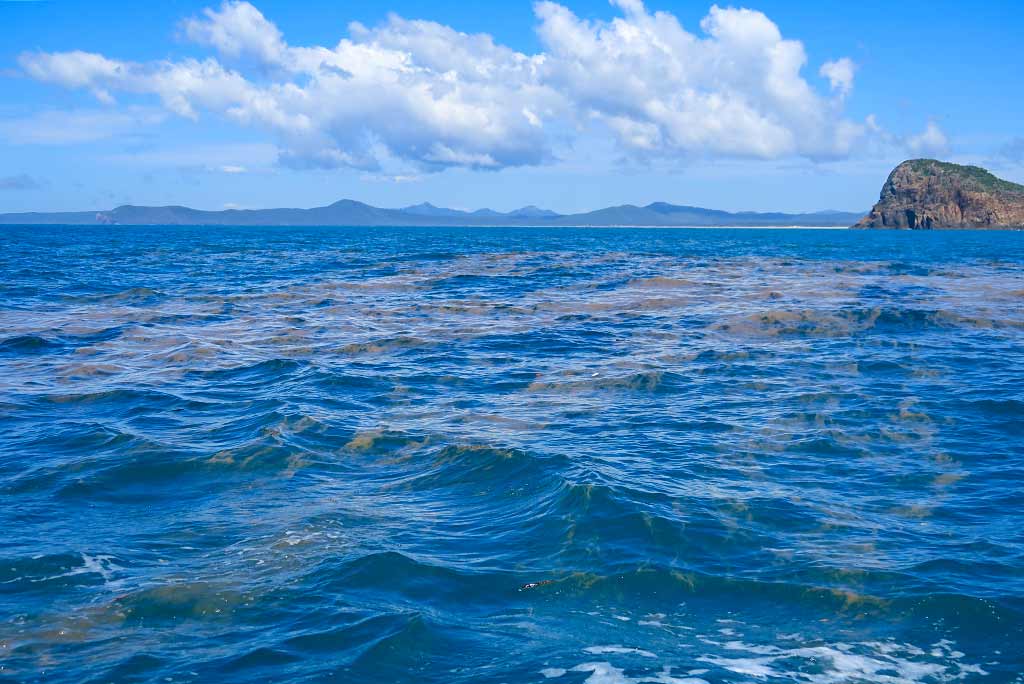
Now I can’t say this wasn’t a warning, but I would point out that it was a very easy warning for someone not familiar with this part of Australia to miss. After our passage we learned the tides run as high as 9 meters, and the resulting currents extend beyond the bays all the way up to the city of Mackay to the north.

I also just found, in a segment buried between Island Head Creek and some other place we weren’t going, that currents most strongly affect the area between Townshend Island and the Percy Islands, right where Hexham Island and our second choice, the Duke Islands, were. Again, another warning that was very easy to miss.

But even if I had read this part of the book more carefully, it states that currents run up to 2 to 3 knots (getting up to 6 knots in the dreaded channels). Two to three knots is something good to know about so we can adjust for it, but certainly not a deal breaker.

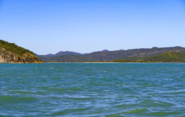
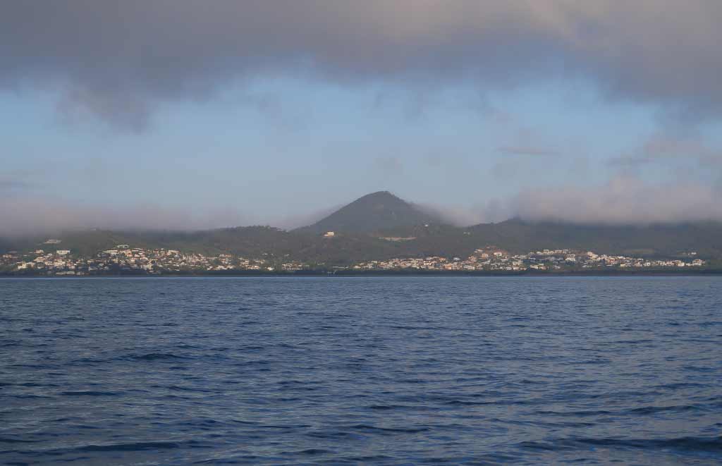
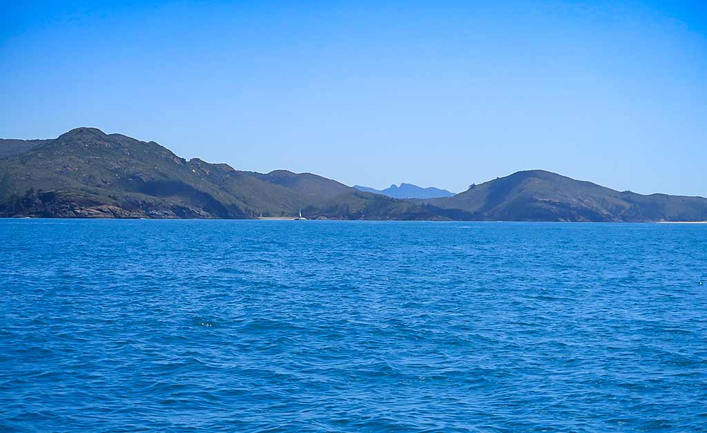
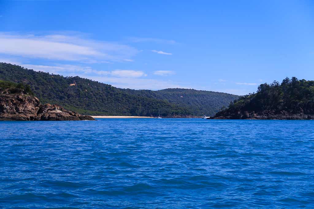
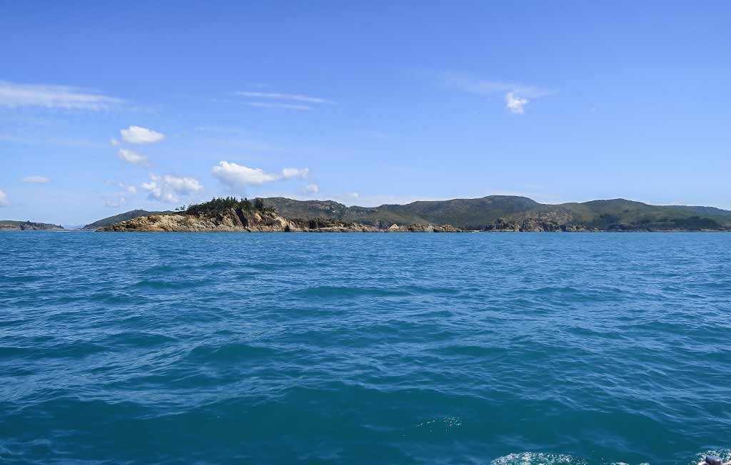
As far as why these warnings seemed to coincide with information about Island Head Creek, it seems migrating yachties tend to stop there after visiting Pearl Bay. It didn’t look appealing to us so we weren’t stopping, confirmed when we sailed by and I snapped a photo.

Looking back, I wonder if the popularity of this stop has more to do with shortening what can be a difficult passage than any desire to experience Island Head Creek.

Having gone back to the book as I write this, I’m finding more pieces of information scattered about, including this very surprising one:

“North of Island Head Creek, along the most popular route to the Whitsunday Islands, there are no truly comfortable anchorages for around 100 miles, all being dependent on such factors as wind strength and direction according to prevailing tidal streams, which, during springs, can be very strong and influential in shaping wave form.”

This is quite a statement, but I think what the author meant to say instead of “truly comfortable” was “consistently comfortable,” as we did find very comfortable spots en route to Mackay! Still had I seen this statement, we may have made a different decision about stopping in an anchorage that was questionable, like Hexham Island.

If the guide book is ever updated, it would be nice to have one consolidated and clear warning about cruising through the area between Pearl Bay/Island Head Creek and the Percy Islands. In most cruising grounds there’s often a notoriously difficult place to be approached with caution. The Northumberland Islands to the north and east of Shoalwater Bay and Broad Sound is just such an area.

Coming Next: The Lesson in Action Part Two: Our Passage to Hexham Island. –Cyndi

Mystical Pearl Bay (Queensland, Australia)

Posted May 7, 2023
about September 10, 2022

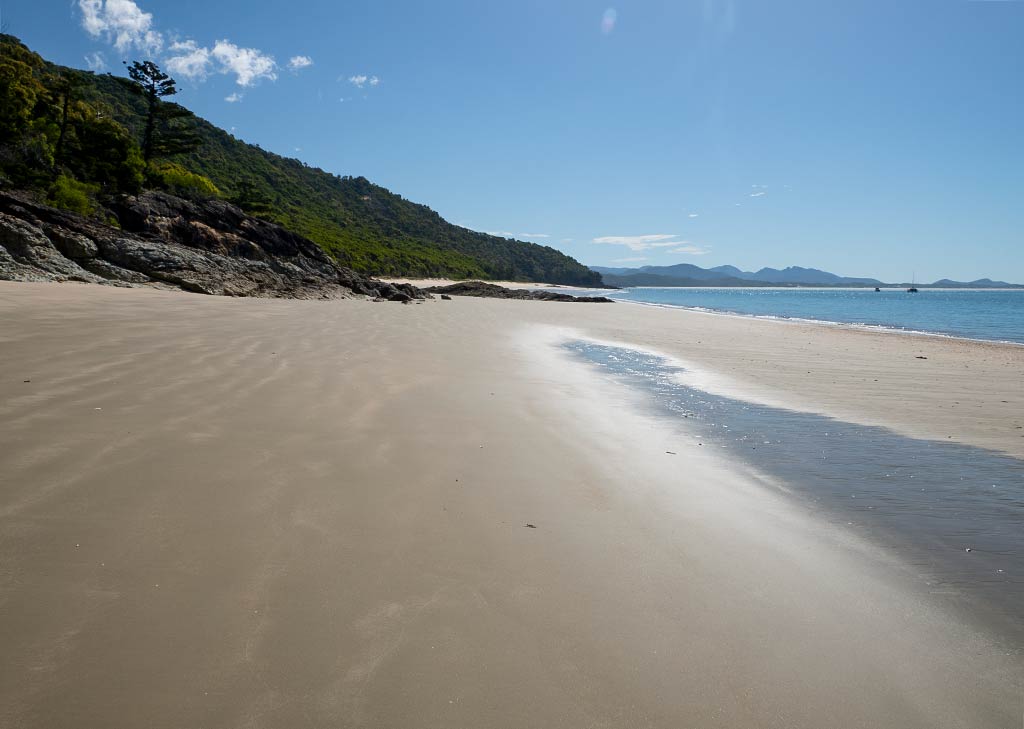
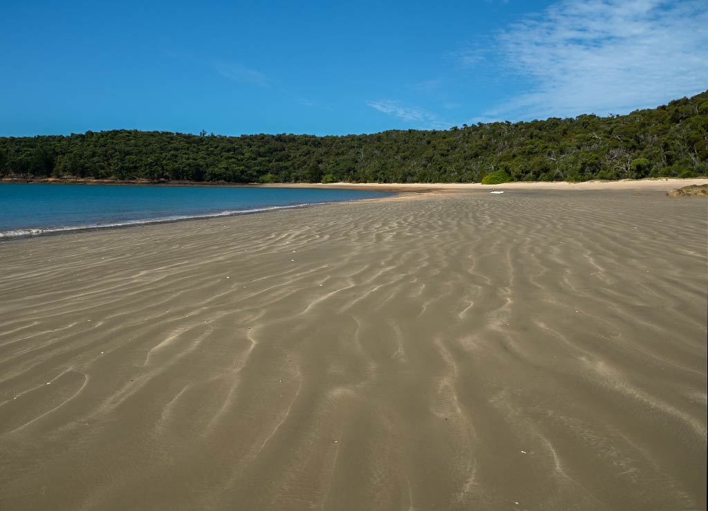
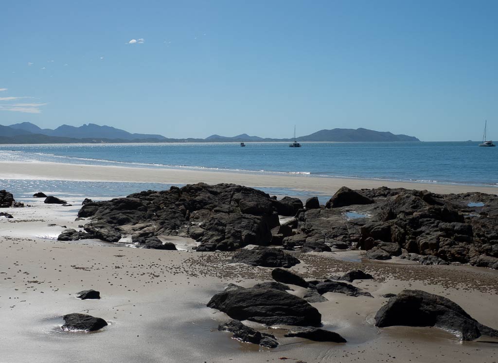
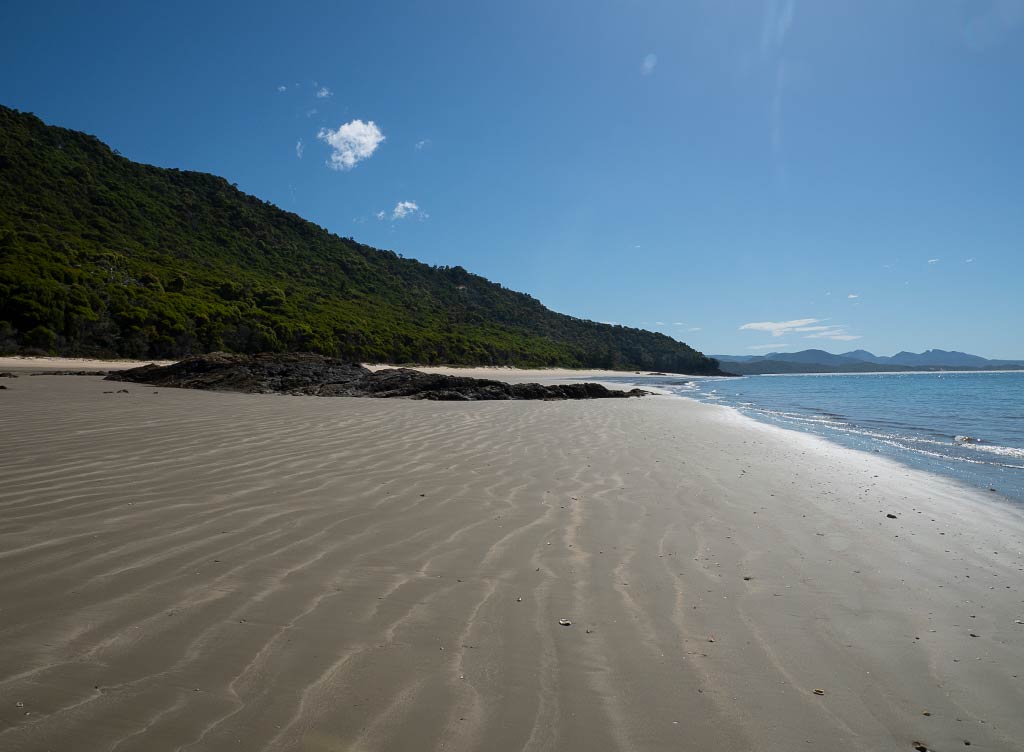
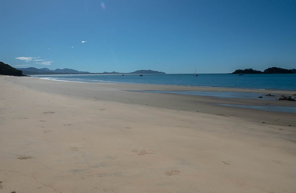
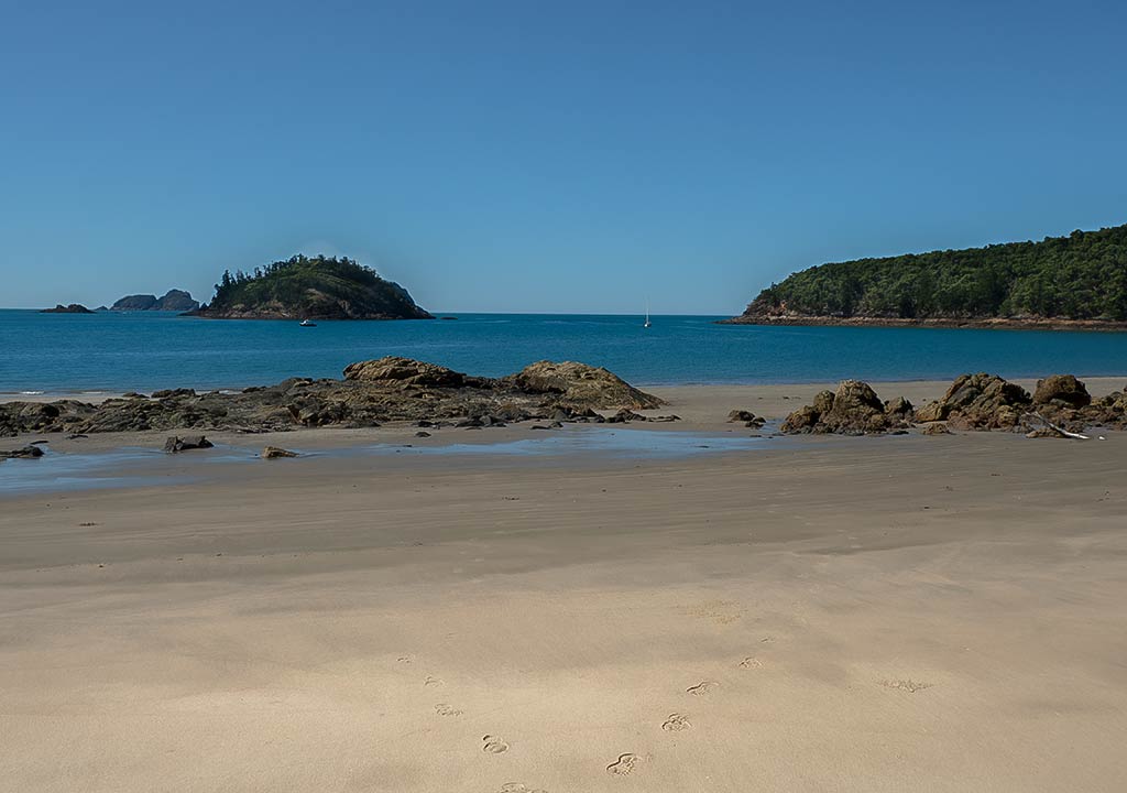
It was time to head to the beach. The low tide was exposing some rocky areas around the north-facing beach; so we headed to the one facing east. The sand was very soft, but low tide had exposed a lot of shells; so we tread carefully while bringing our dinghy up on the shore.

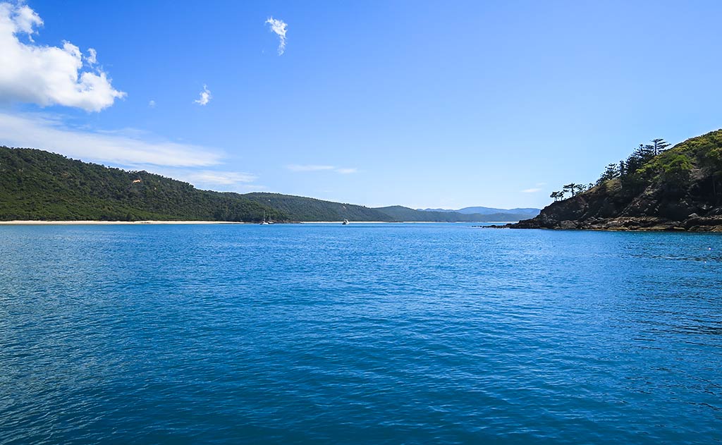
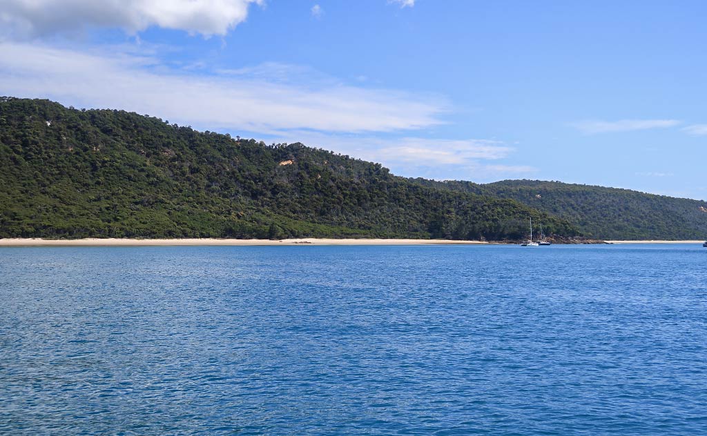
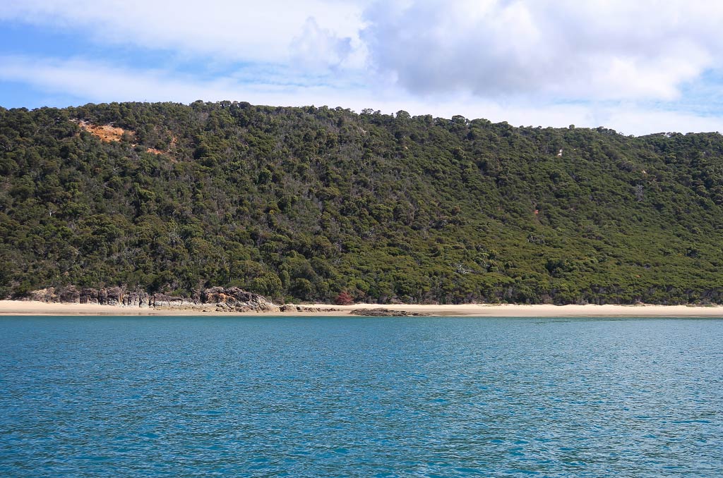
What struck us first was how beautiful this place is. With its impressively wide beach and verdant green hillsides, it looked like Queensland from out of a movie. The calm bay with its offshore islands and small scattering of boats added to the beauty. The water here was rather dark but also clear. This was the first area we had seen this trip that looked somewhat tropical.

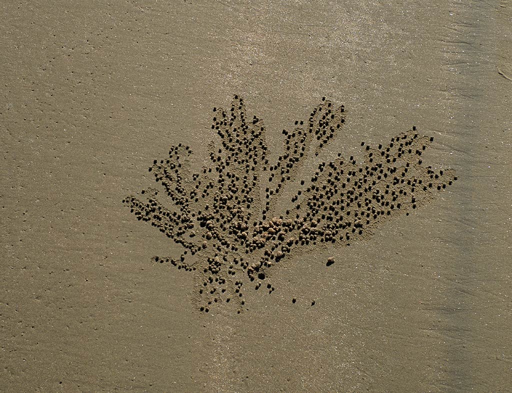
We set off towards the north headland but first had to decide whether to walk on the prettiest sand higher up or down at the shoreline, amid all the shells, looking for treasures. We ended up doing a bit of both.

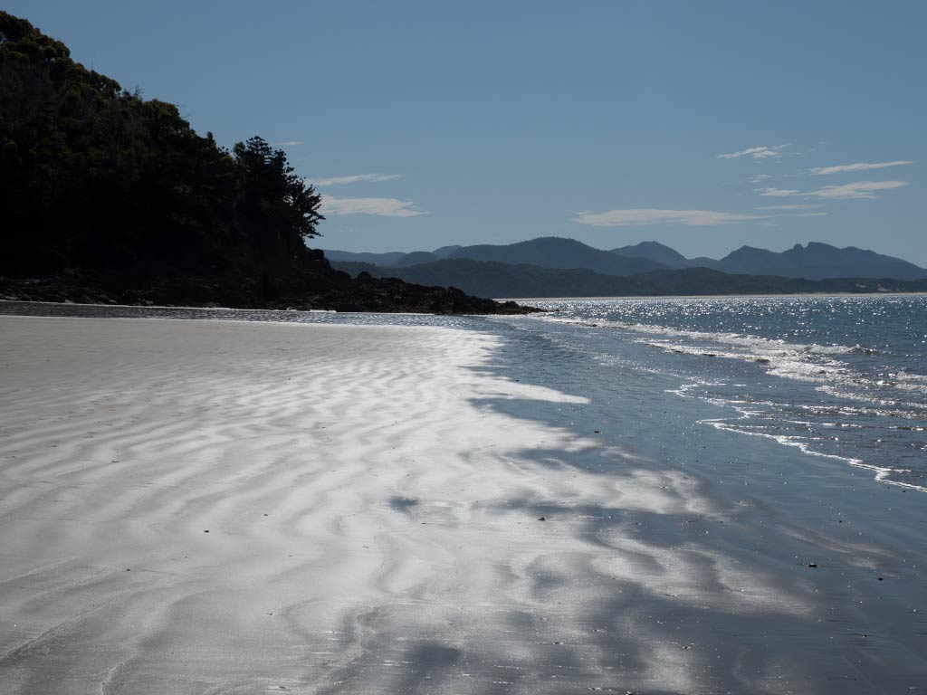
The large scale here was apparent when other people came ashore further up the way and looked about the size of ants. The sun was fairly intense, making the sea sparkle and the wavelets near the shoreline take on a glowing shine. Yet the light also seemed to have a softness that made the whole scene feel rather mystical. (Click any photo in the gallery below to enlarge.)

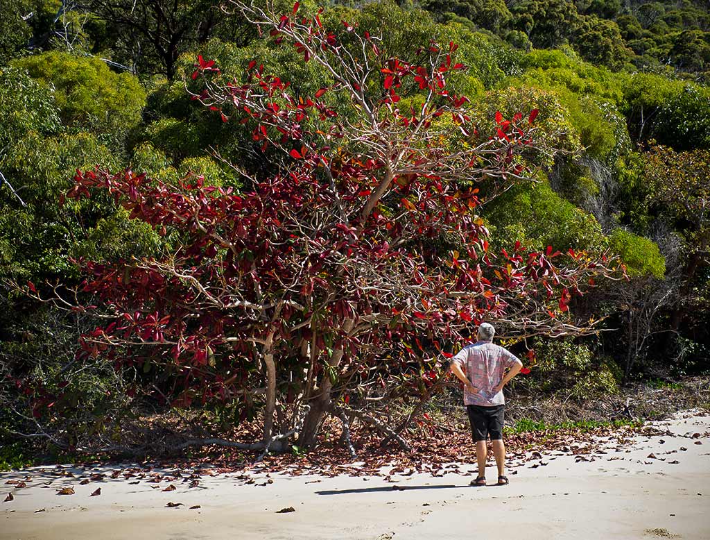
After a time we decided to turn around before reaching the headland, glad now to be walking into the cooling breeze. Our final stop was at a single red-leaf tree in among all the greenery, which from afar looked like a pohutukawa, another reminder of New Zealand.

It seems natural at this point that we’d want to take a dip in the water, and in fact the other people were doing just that. But after reading crocodiles had been spotted in the area, we were just not willing to take the risk.

We were now far enough north in Australia that swimming off the mainland (with all its river estuaries and mangroves) was out. The Whitsunday islands should offer swimming possibilities, but even then we’d have to be very shark aware. (And then at some point we’d have to contend with the approaching stinger season, but that’s a subject for a future post.)

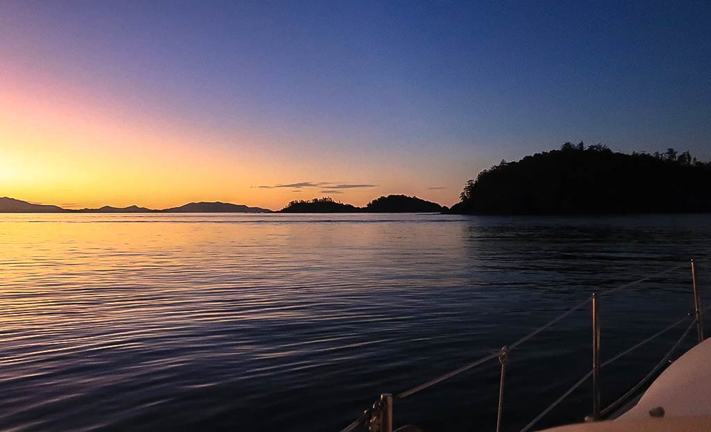
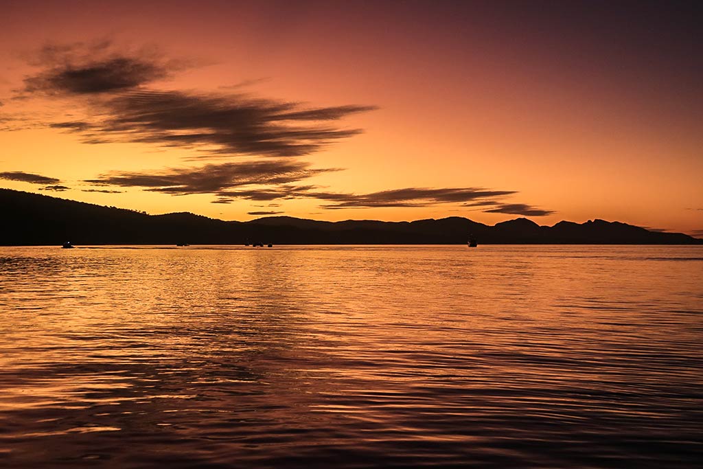
Back on the boat later, we enjoyed a beautiful sunset.

I was feeling happy about where we’d ended up, hoping this was an indication that the scenery ahead might be more to our liking. It’s true we hadn’t yet been many places on this trip, but this was not our first rodeo in Queensland. We spent a good part of the 2015 summer season in the southern regions of this state, something we haven’t blogged much about yet, and it was a very mixed bag.

Basically now, instead of starting with a clean slate, we had a checkered history to overcome, especially for Rich who would not count Queensland as one of his favorite places. This was one of several factors that would make this trip more challenging than the usual cruise, and this season was already showing signs of being an uphill battle. Thus good experiences in places like Pearl Bay would take on extra importance as we made our way further north.

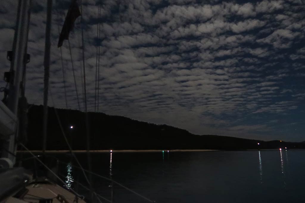
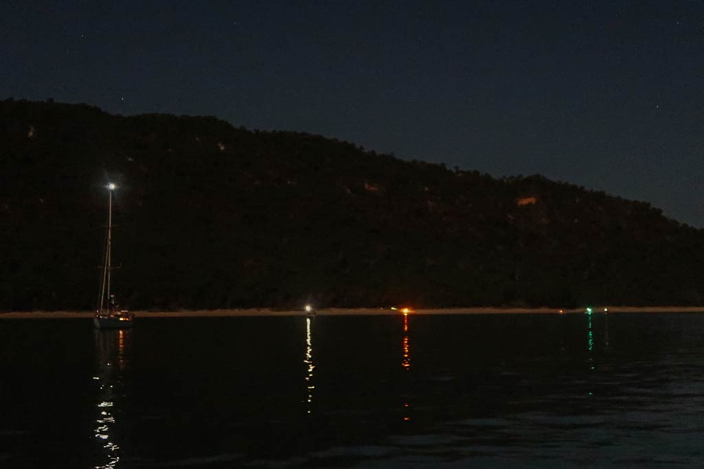
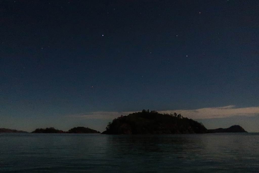
I had a nice moment later in the night when I stepped out into the cockpit. The bay was so still and glassy, and I could see some small boats had pulled up to the beach and set up campfires, their lights reflected in the glassy water. Later a full moon came up and illuminated the wedge of stripy clouds above us while a few stars remained visible near the islands.

Feeling pressed for time, we would be saying good-bye to Pearl Bay and the Capricorn Coast the following morning and heading further off the mainland into a new group of islands: the Northumberland Islands. –Cyndi


Pearl Bay as seen from the Air and the Sea (Queensland, Australia)

Posted May 5, 2023
about September 10, 2022

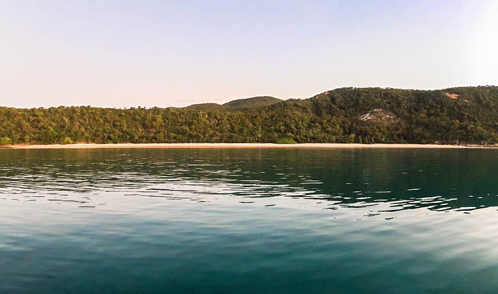
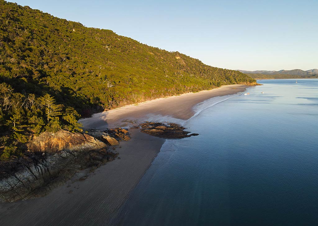
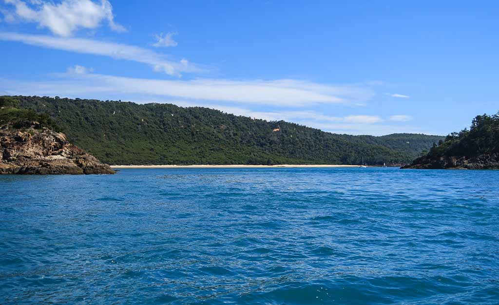
Once inside the islands, Pearl Bay looked like a fairly large anchorage. One standout feature was its beaches, actually a six-mile long stretch of sand that was divided into five separate beaches by rocky points.

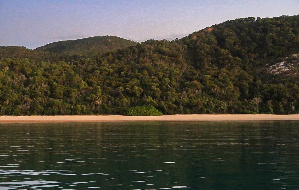
The most striking feature, though, was the long, steep, and densely-vegetated hillside area that backed the beaches. Everything here seemed to be on a large scale, giving the area a sense of grandeur.

We anchored at the south end of Pearl Bay where the headland curved around towards the south island, creating a pretty half-circle bay with a north-facing beach. This little bay was partly divided from the rest of Pearl Bay by a reef under the water. We had opted for this spot as, in a sense, it felt like having our own anchorage.

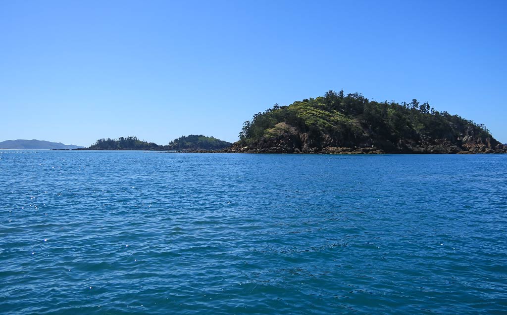
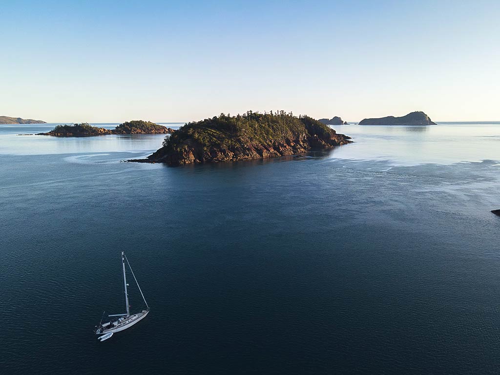
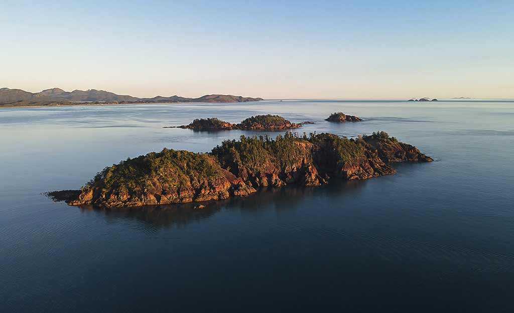
Off to the north, the beaches ended at a large headland. From our viewpoint, the offshore islands seemed to overlap with each other and this headland, creating the illusion that we were nearly landlocked. This gave the anchorage a cozy feeling in spite of its size. In all, this place was, as advertised, beautiful and special.

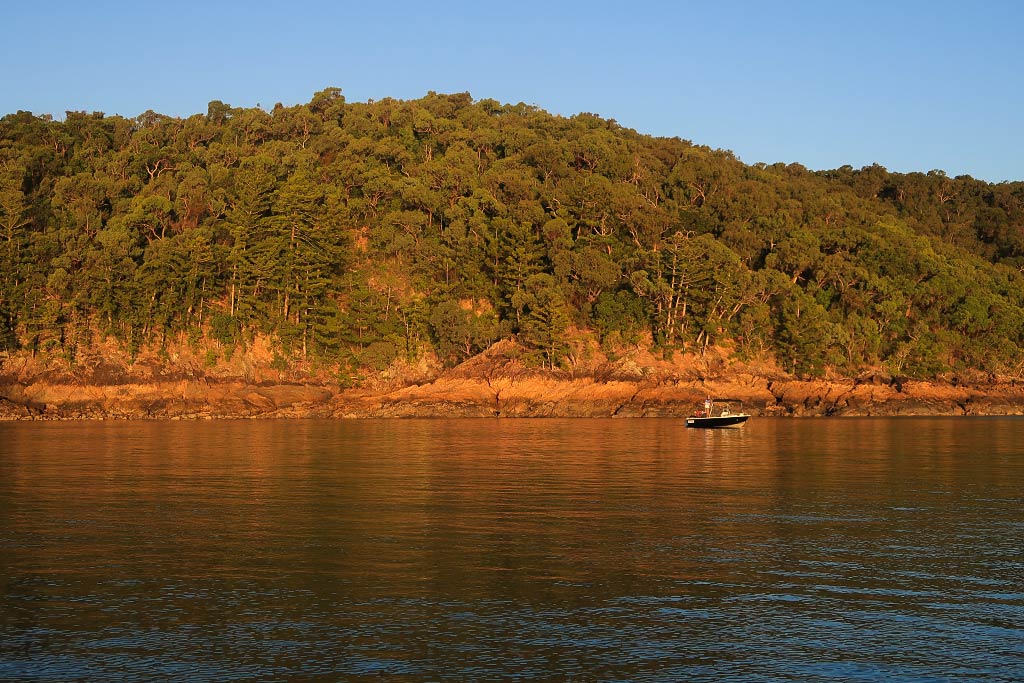
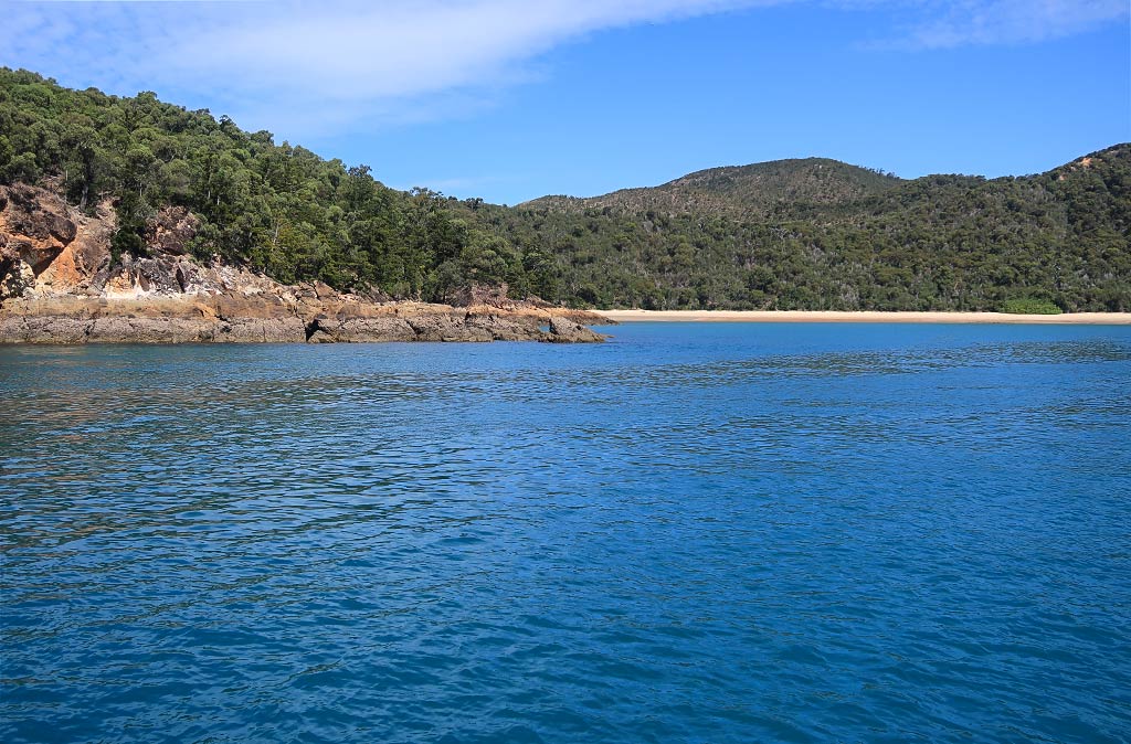
Below, photos of Pearl Bay, including the approach to our south end anchorage behind the headland, the overlapping islands just northeast of us, and an early evening shot taken from our boat. (Click any photo to enlarge.)

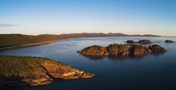
Early the next morning we used our drone to get some photos from above.

Including a panorama from a distance which should convey a feeling for the size of this bay.

Finally, a Google Map of the bay…

Below, a map of Pearl Bay.

The Trip to Pearl Bay (Queensland, Australia)

Posted May 3, 2023
about September 10, 2022

What a beautiful morning for a motor sail. The wind was light and variable, the air warm enough for shorts and a T shirt, and when the breeze picked up later, the sea around us glittered like crazy.

I was looking forward to seeing Pearl Bay, which more than one person had described as being the loveliest spot on the Capricorn coast. But I couldn’t for the life of me imagine how this roadstead of an anchorage could be all that nice.

Pearl Bay is an east-facing bay, which meant it would be exposed to prevailing swell conditions. I did notice some scattered islands just offshore, but they seemed too small to create much in the way of protection. And while we were technically in the tropics, we were still a long way from the rainforests that lie along the north Queensland coast. Instead, the vegetation was likely to be on the dry side. So what was it about Pearl Bay that could possibly be special?

Below, a map of our approximate route from Rosslyn Bay Marina to Pearl Bay.

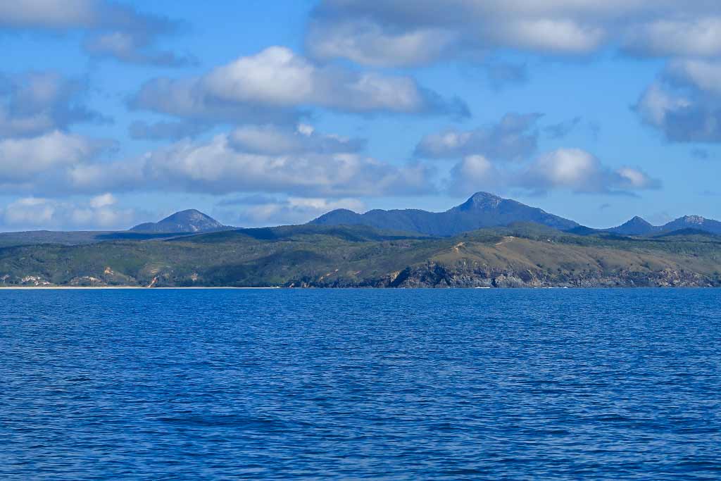
As we motored along, we noticed the landscape of the Australian coast was mostly low, with only an occasional higher peak. Most of the coast was lined by beaches and to a surprising extent reminded me of a motorsail we’ve made several times in New Zealand. It’s probably my least favorite trip there, long and boring, but it signifies going to favorite places so I don’t mind it. I hoped this trip would also end in a nice place. Below, photos of the Australian coastline (click any photo to enlarge).

Meanwhile, I was excited to spot a dwarf minke whale, probably migrating south after spending the summer off north Queensland. What made me happiest, though, was seeing the mass exodus of boats heading south. The cruising season in the Whitsunday Islands was approaching its end, and these boats, who had probably been early arrivals, were now heading home. Hopefully by the time we arrived there most of the cruisers would be gone. Disconcerting, though, was hearing the Whitsunday Island group is a major destination for charter yachting so remains pretty busy year-round. We don’t mind other boats but do hope there’ll be enough room to find a spot in any given anchorage.

For most of this trip we had a knot of current helping us along. It turned against us near an area called Port Clinton as the wind started to come up from the north. Port Clinton was a possible stop but frankly looked dry and unappealing, plus it was a military training area. I was relieved when Rich told me that the wind would soon drop again and we could keep going.

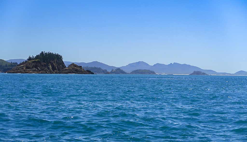
Once we passed Port Clinton the scenery suddenly changed, becoming greener and more attractive. As we neared Pearl Bay I could see the offshore islands were bigger than I’d imagined, all craggy, dark rock topped with piney trees. There are actually three islands (and accompanying rock islets) close in, then two islands further offshore, the combination of which serve as a surprisingly effective breakwater for this area.

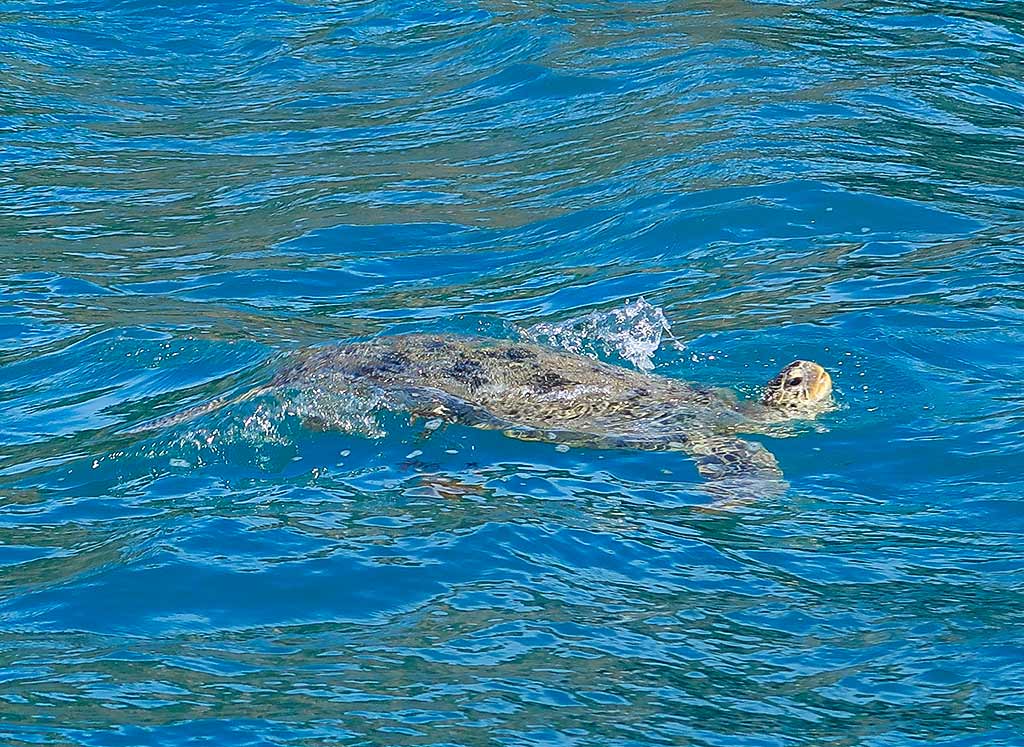
We entered the pass between the south headland and its closest island. And once again I was reminded of New Zealand, specifically the entry to Bay of Islands harbor. These islands were nearly identical to some of that harbor’s outer islands! The pass seemed like a miniature version of the south island’s French Pass as we went in, the current against wind making it a bit frisky. We were getting through nicely, though, when I was suddenly startled out of my New Zealand-themed reverie as a huge sea turtle surfaced beside us, soon followed by another.

After a moment of disorientation, I was reminded that I was a long, long way from New Zealand, and it was time to come back to the present and appreciate where I am. Especially if where I am has my beloved sea turtles, something I have long considered a talisman of sorts, signifying a sort spiritual thumbs up telling me everything is OK, that I’m where I’m supposed to be, and that I am loved. Powerful stuff, those sea turtles. –Cyndi
Morning Moment (Rosslyn Bay, Australia)

Posted April 29, 2023
about September 10, 2022

The time had come to leave Rosslyn Bay and continue north. I woke up  early, at 5am; so I decided to watch the morning unfold. First there was the sunrise which lit up the sky with shades of pink, yellow and orange, then all the birds burst into song. Large white clouds lingered nearby as if deciding whether or not to add some rain to this morning scene.

We’ve had many pre-departure mornings like this, but depending on the circumstances they can feel very different. Some mornings we’re heading to an area we know, excited about our getaway to a favorite place. Other mornings we might be headed to a new cruising ground with the knowledge we’ll be passing through this location again.

But then there are times when we’re saying a forever goodbye as we sail off into the sunrise, wondering what the future has in store. At this point, the entire north Queensland coast lay ahead, soon to be followed by Indonesia, all of which was intimidating. But for now I was most worried about making it to the next anchorage, Pearl Bay. While we had the option of stopping along the way, we hoped that with the cooperation of the currents and weather, we’d make the entire 50-mile trip up in one day.

Below, a video I took of this morning moment before it was time to make coffee and preparations to leave the marina. –Cyndi