Hiking to the Summit of Rangitoto Island, Part 2 (Hauraki Gulf, New Zealand)

February 4, 2014

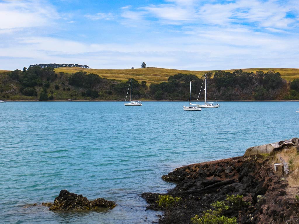
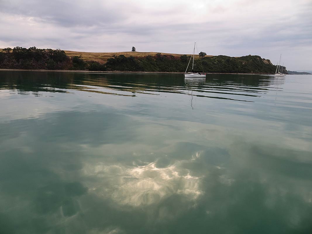
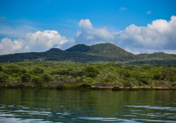
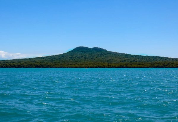
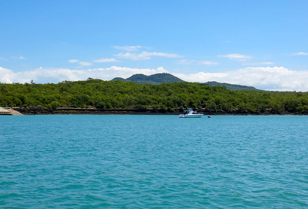
Beautiful Rangitoto Island as seen from our anchorage.

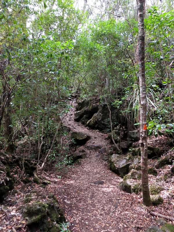
Aside from the summit, there’s another attraction on Rangitoto Island, and that’s the Lava Caves. They’re a short detour off the main track, about 15 minutes. After all the walking we’d done, we thought we might as well do a bit more and go see them. Unfortunately since we hadn’t planned on this, we didn’t bring a flashlight.

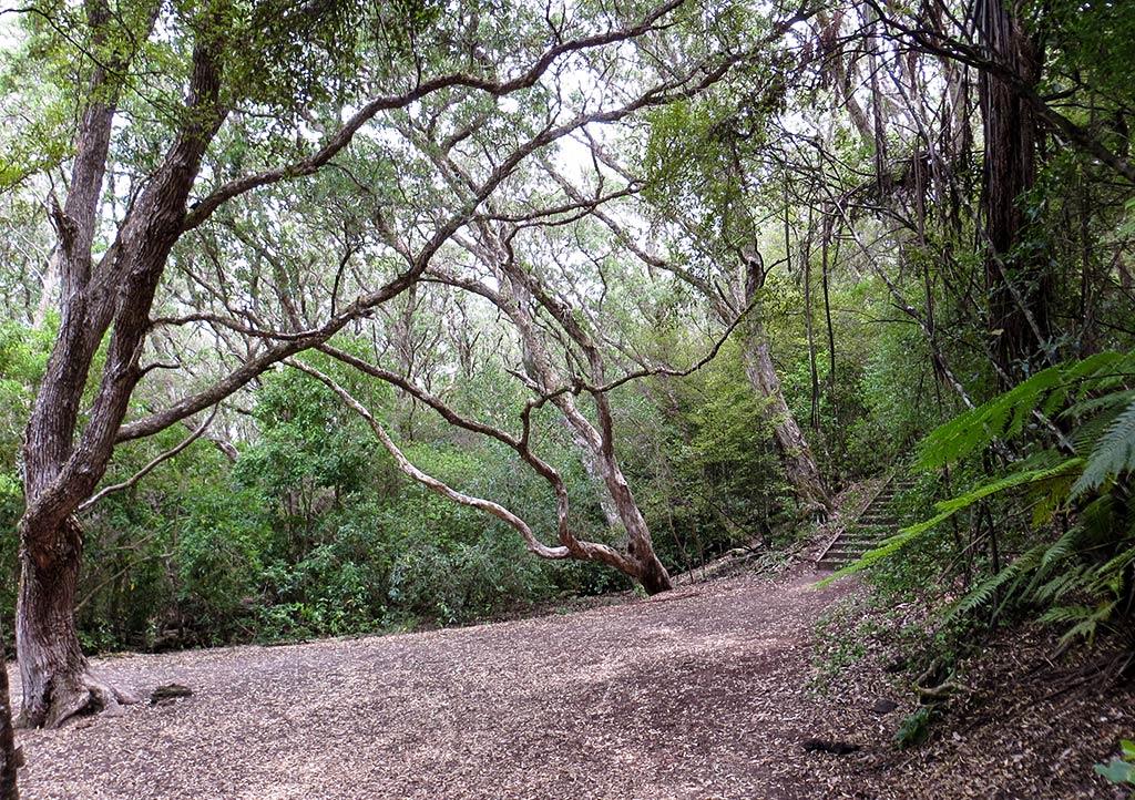
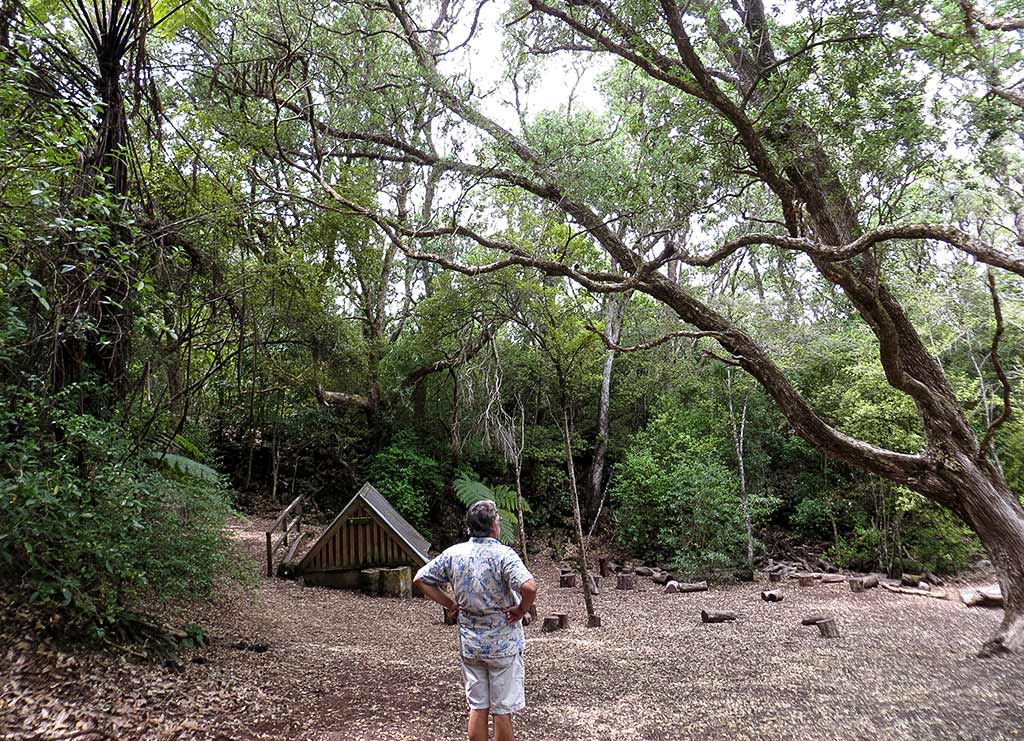
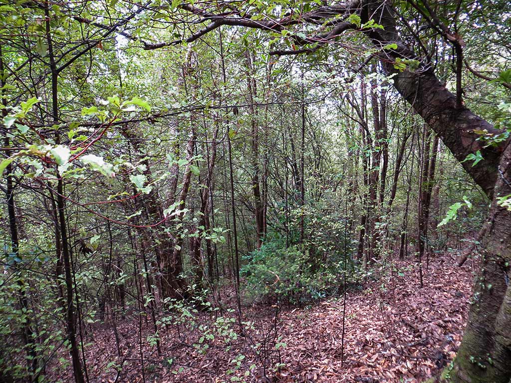
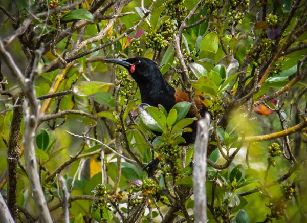
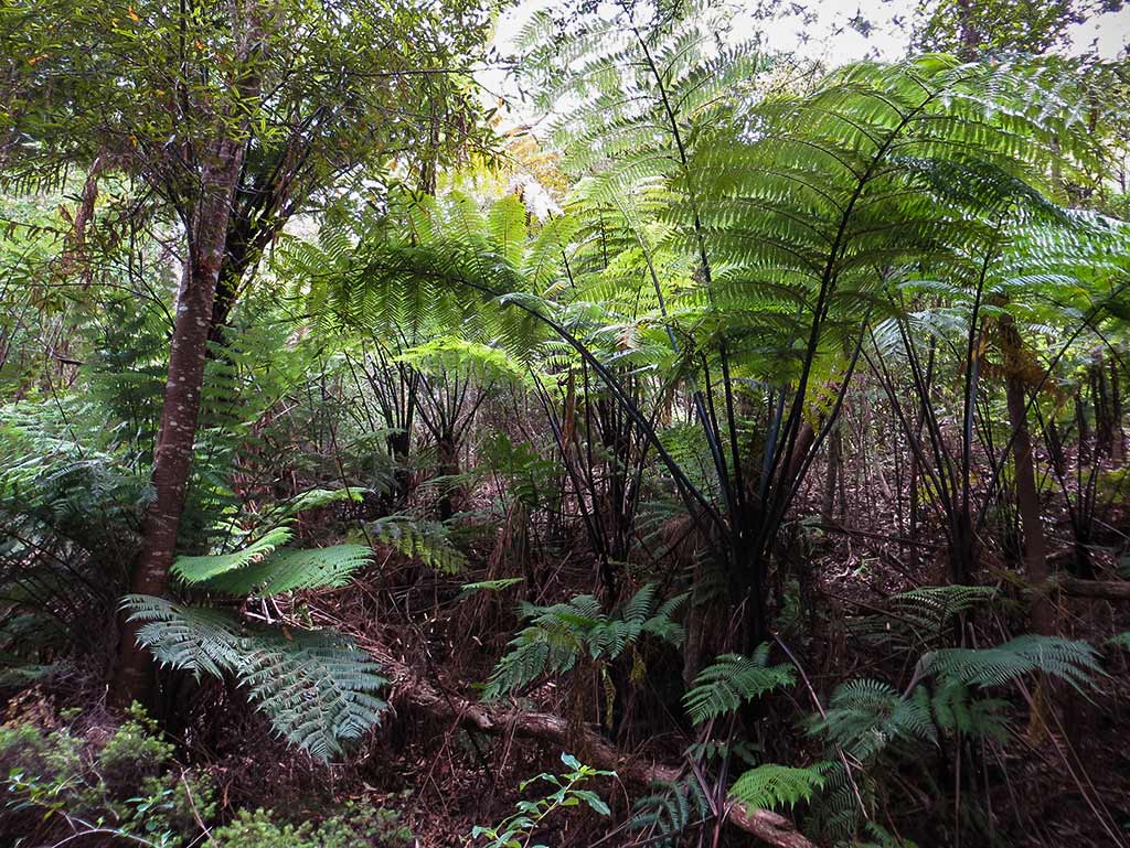
So we headed down the walk, which from our trail was hardly a detour at all. The forest was pretty here, and we saw so many birds. We came to an area that had been cleared of trees for some reason, but it was so pretty I took a few photos. (You can click to enlarge and scroll through photo galleries that follow.)

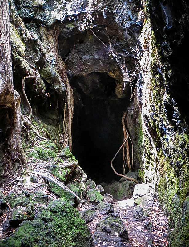
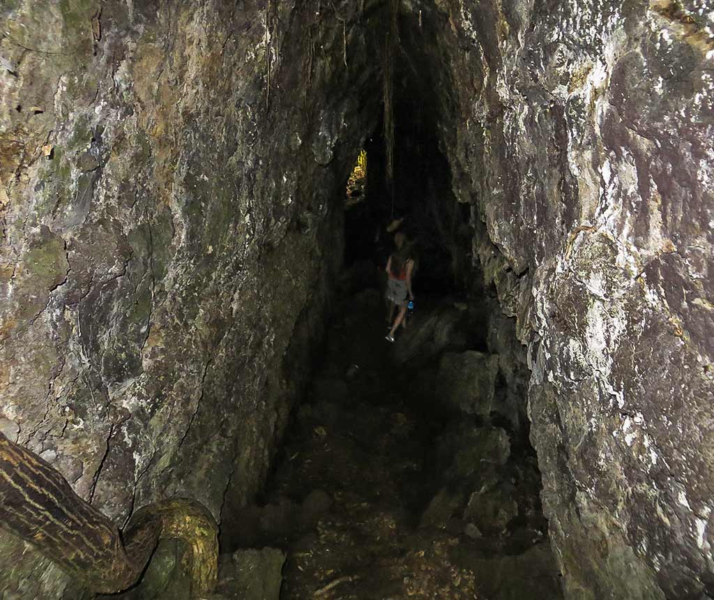
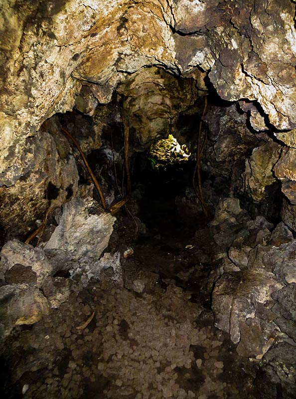
Around this point, a young couple passed us. We hoped they’d have a flashlight, in which case we’d follow them. But no, they didn’t. We had our phones, but they didn’t end up being very helpful. So we all entered the long, dark tunnel hoping for the best. I put my hands out on the sides of the cave to steady myself and stepped carefully, and that worked pretty well. Below, a few photos from the caves.

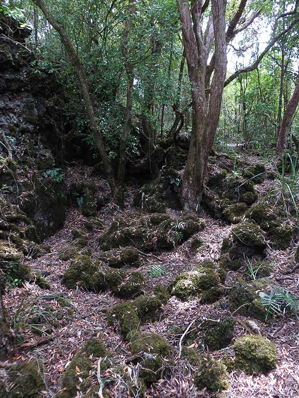
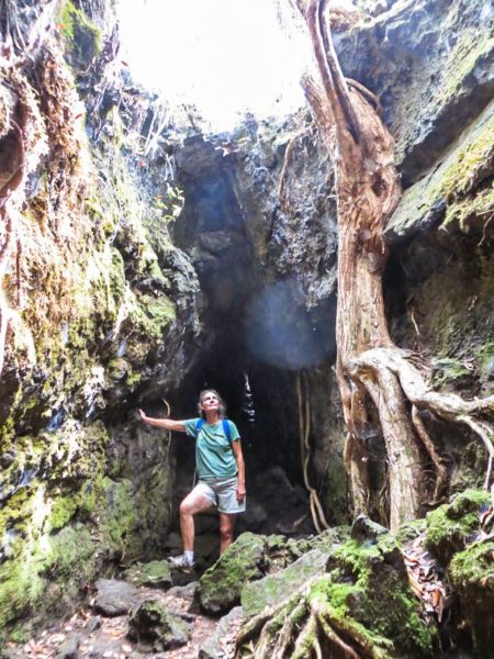
As it happened, the cave’s exit was only a short distance from the opening to another lava tube. Between these tubes was a clearing where giant tree roots and vines snaked over rock walls around us, with sunlight filtering through tree branches above. The light here seemed to take on a greenish cast, and I could easily imagine I’d been transported to someplace like Cambodia. It was quite a magical spot.

We headed into the second tube, this one with a lower ceiling so we both had to bend over pretty far and take a lot of care not to hit our heads. We managed to make it out injury free, pretty remarkable considering how dark it had been the tubes. In all, this had been a really cool experience.

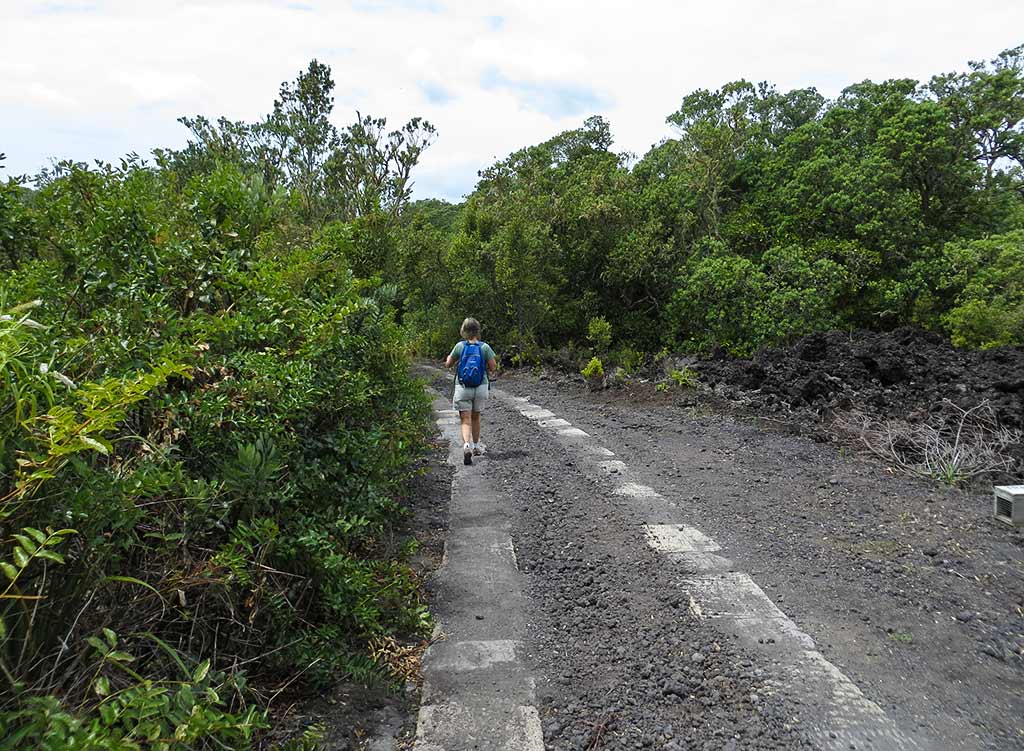
We found our way back to the main road/path and headed back down towards the anchorage. I thought I recognized a fork we’d come across on the way up, and we took the path that seemed to go towards our little wharf.

After a time, though, things didn’t look right. It seems the fork I thought recognized was the wrong one, and we were now headed towards the main wharf. We were now pretty hot and exhausted; so this was not happy news. We heading back towards the fork and ran into a couple of ladies we’d seen earlier. They seemed amused by our wrong turn and bedraggled appearance and smiling, remarked, “You don’t have a hat?” “No,” I said, “We don’t have a hat, we made a wrong turn, and we’re just really stupid!” as I stomped off. Childish, I know, but I was cranky and didn’t care to have our discomfort be a source of amusement for others.

Sometimes with situations like this, I have to calm down and remind myself that if this is the worst problem in my life, then I’m a lucky girl. By the time we got back to the boat we were hot, thirsty and hungry, and I was lurching around like a zombie having overdone it on the walk. By now, I realized what a godsend the cloudy day had been.

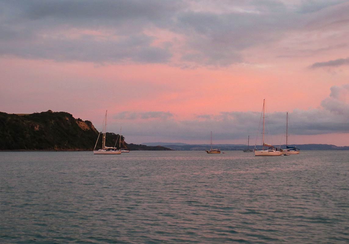
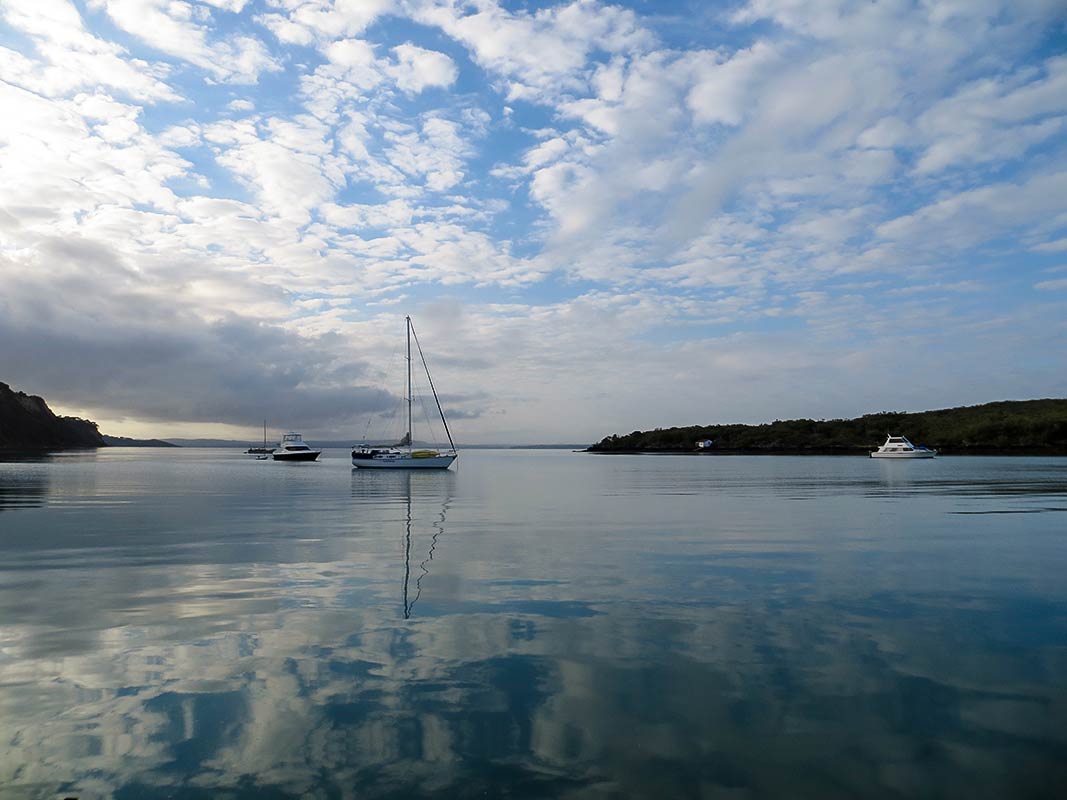
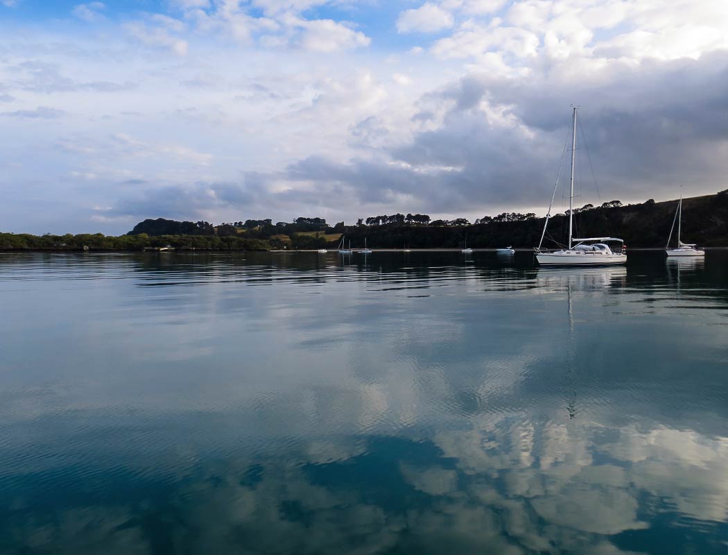
The cloudy day was also nice in that we were able to sit in the cockpit before the sun went below the mountains. This was a beautiful place with the sea calm and flat, the clouds reflecting in the water, and the damp grass making a wonderful earthy smell. This bay turned out to be better than it initially looked.

Overnight, we could hear moorporks, New Zealand’s little owls, from the shore. This sound has imprinted itself on my soul.

Tip for Rangitoto visitors: bring lots of water, a flashlight, snacks/lunch, sunglasses, and yes, a frickin hat if you have one.–Cyndi

Airplane Race?

July 27, 2020

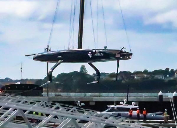
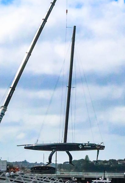
I refuse to call these boats! They are, in truth, very low flying airplanes. Here’s the American entry for the next Americas Cup “yacht” race.

We saw American Magic being lifted out of the water a few days ago in the Viaduct Harbor, only about a five minute walk from Legacy’s berth. Strange creature!

Not that I’m any expert on these “boats” but I offer this for those that know even less than me. The legs hanging down are foils. The boat rides up out of the water on these bug legs. For us, that would mean Fiji from NZ in one and a half days instead of our usual eight (and these days, twelve and a half days in quarantine instead of five). -Rich

Hiking to the Summit of Rangitoto Island, Part 1 (Hauraki Gulf, New Zealand)

February 4, 2014

There are a handful of trails leading to the summit of Rangitoto Island. Most visitors are day trippers who get dropped off at a small wharf on the south side of the island. From there, it’s easy to find the main track: the Rangitoto Summit track, where the walk to the summit takes about an hour.

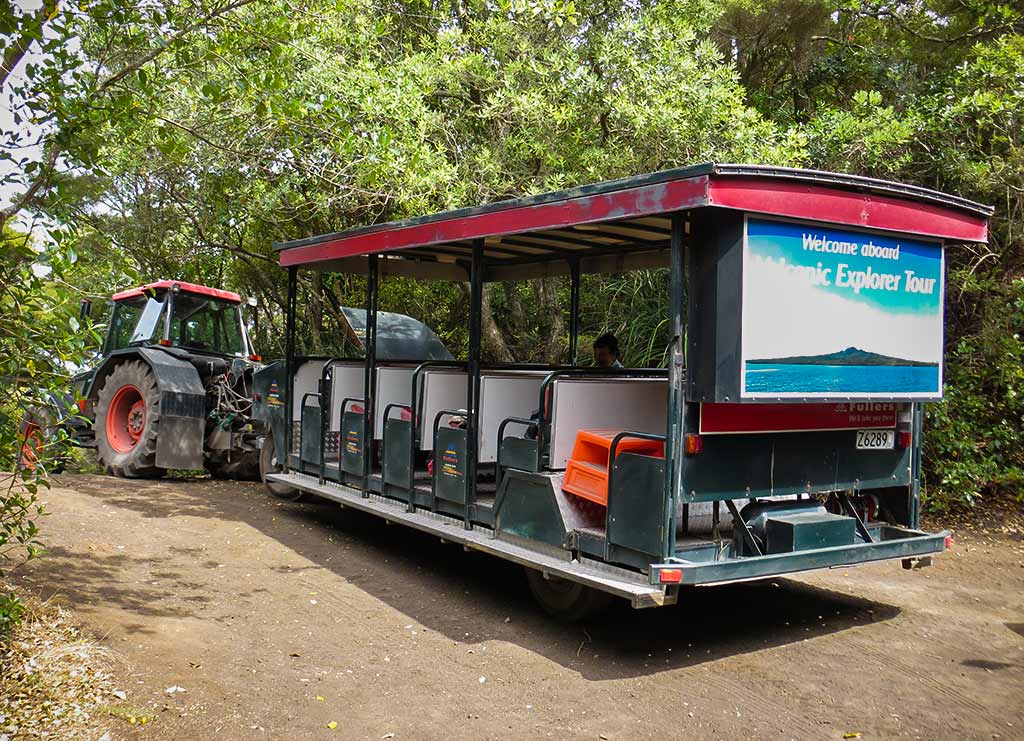
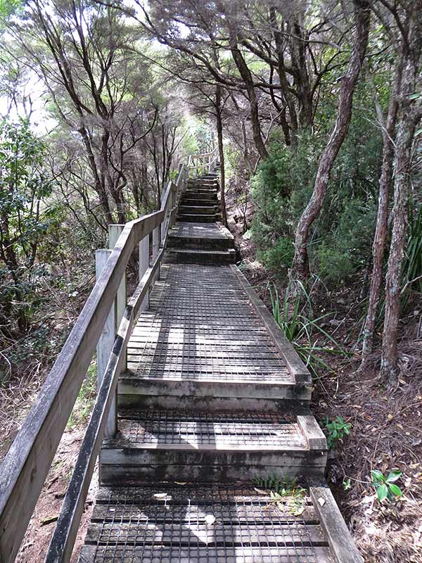
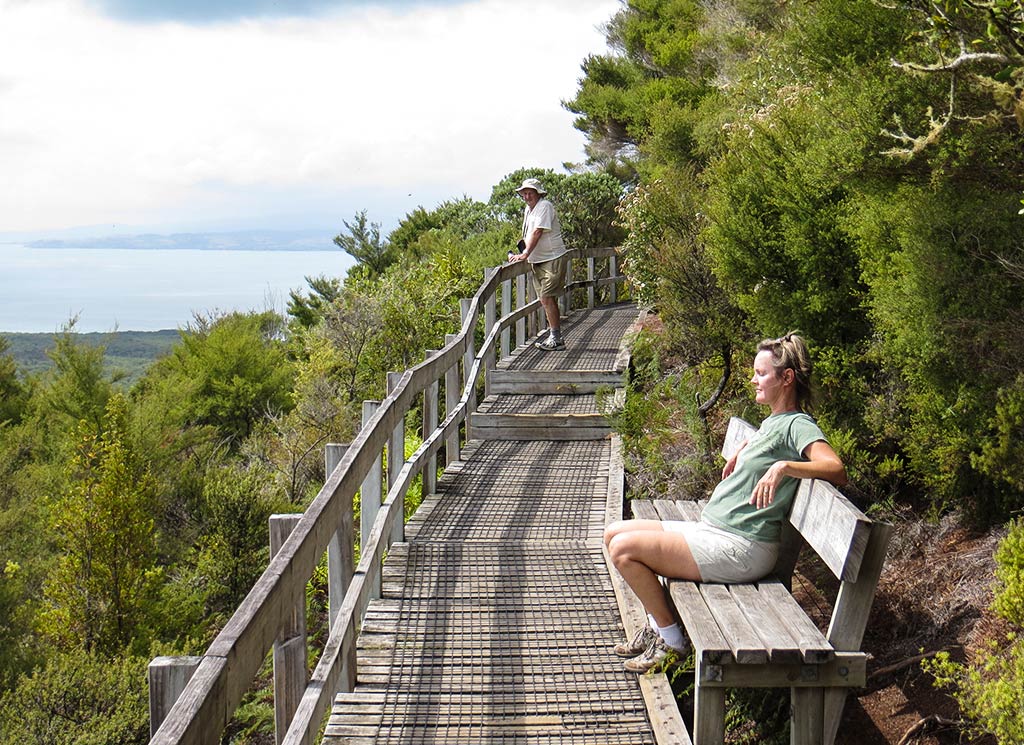
The walk isn’t difficult, much of it on a gradual slope until it nears the top, at which point there’s a wooden walkway and stairs. Still, those too lazy to do the hike can take a 4-wheel drive “road train” to the stairs, sort of a trolley car pulled by a tractor.

Since the Summit Trail was located far from our anchorage; we’d have to take another route, the Islington Bay Trail, which was a little longer and didn’t offer the road train. Since we fall into the “too lazy to hike” category ourselves, this was a disappointment. We’d just have to buck it up and use our appendages.

And so we got in our dinghy and headed to Yankee Wharf, a small boat ramp in our bay. I’d hoped for a sunny day, but the overcast sky stubbornly remained. I was lamenting this until we chatted with people on a neighboring boat. They warned us to bring plenty of water as the island’s black rocky soil really heats up in the sun, making both the ground and the walk quite hot. Huh, maybe today’s clouds would be a blessing in disguise.

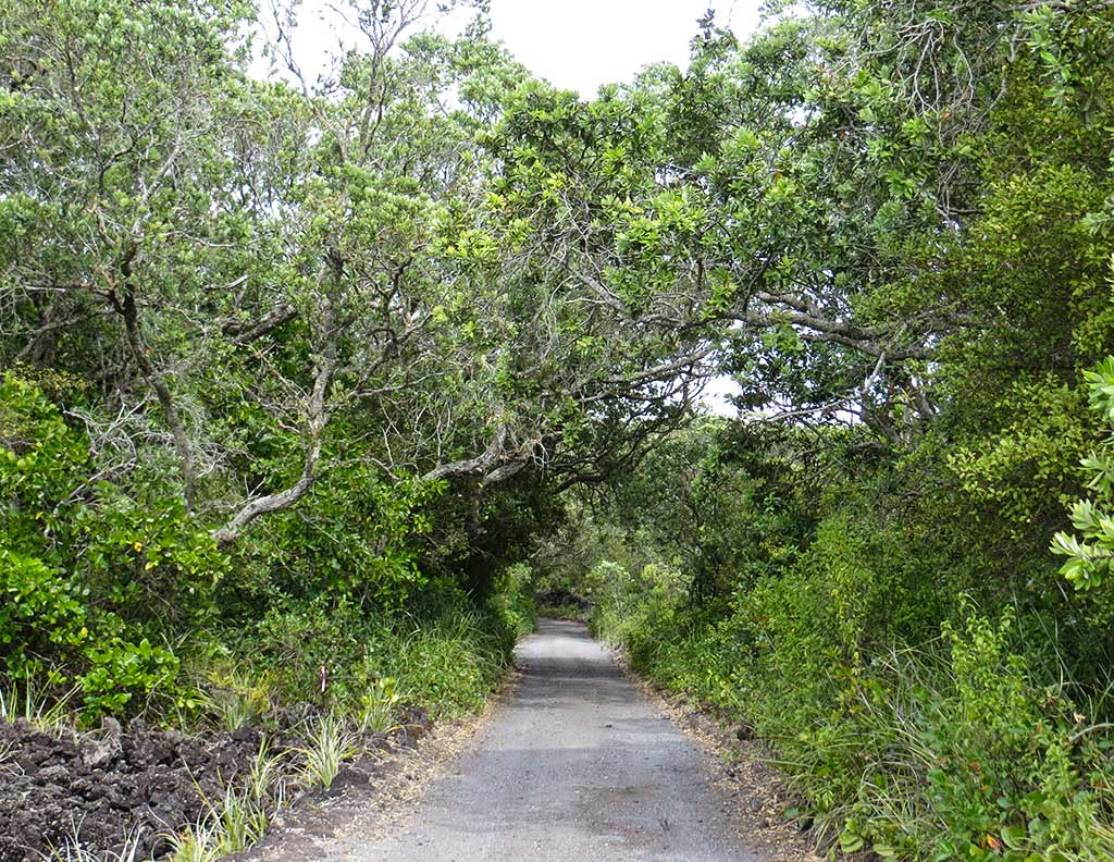
At the boat ramp we go to test our new dinghy wheels, and they worked so well we kicked ourselves for not doing this earlier. We parked the dinghy, changed into our walking shoes, and headed down the path. Below, a few photos from the path along the shoreline (click to enlarge any photo in galleries that follow).

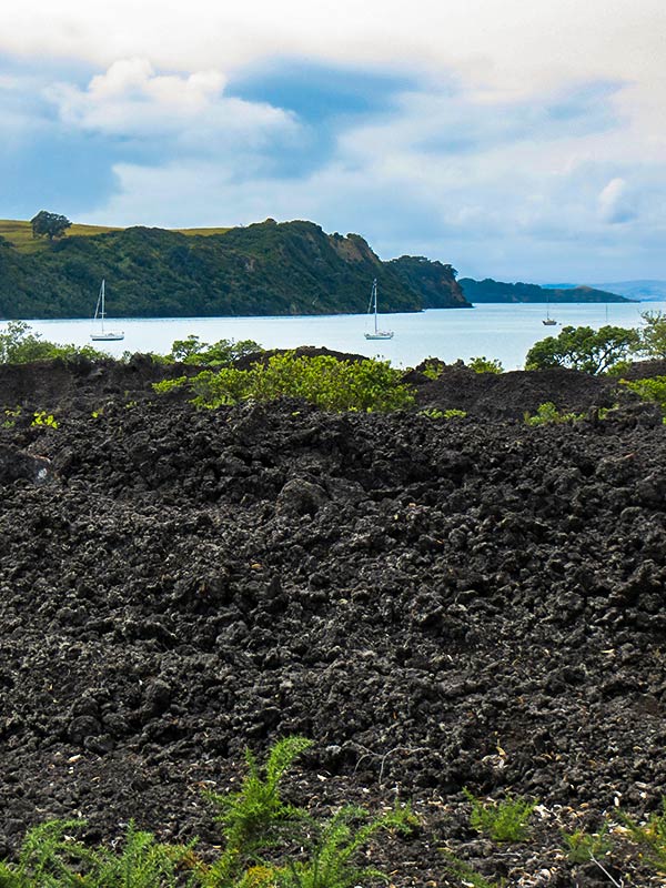
The amount of lava rock on this island was impressive. There was also green bush, but it was short and stubby, with many areas of rock devoid of growth. We took the path along the shore for while before it joined with a small 2-track road and headed up the hill. For awhile the incline was gentle, then it got a bit steeper and the trees thicker. The higher we climbed, the more green and forested our surroundings became.

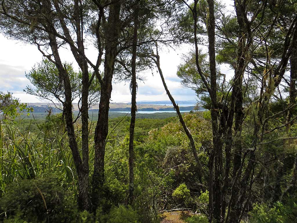
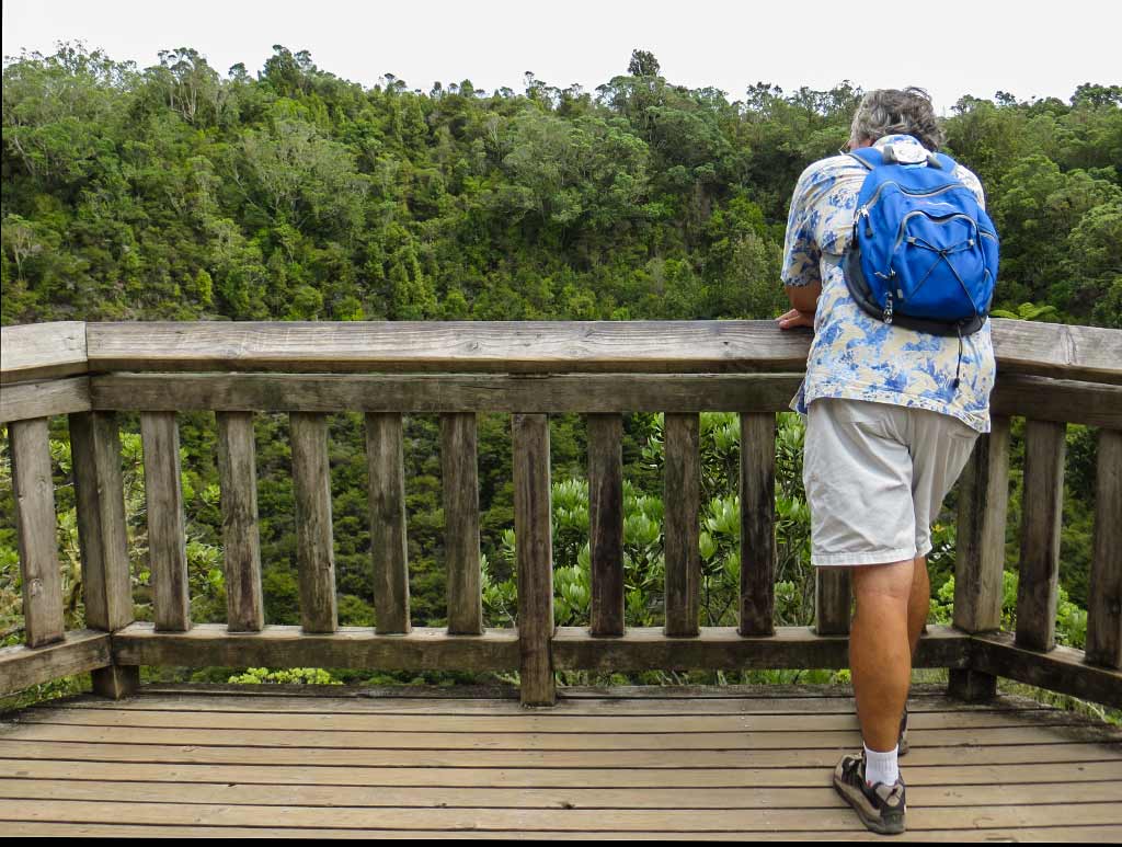
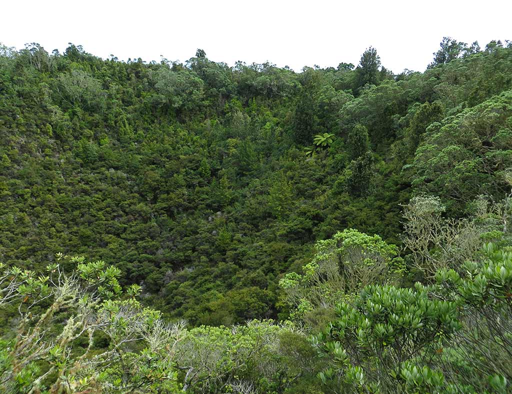
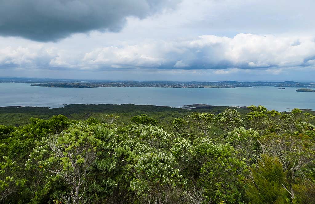
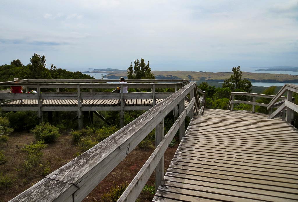
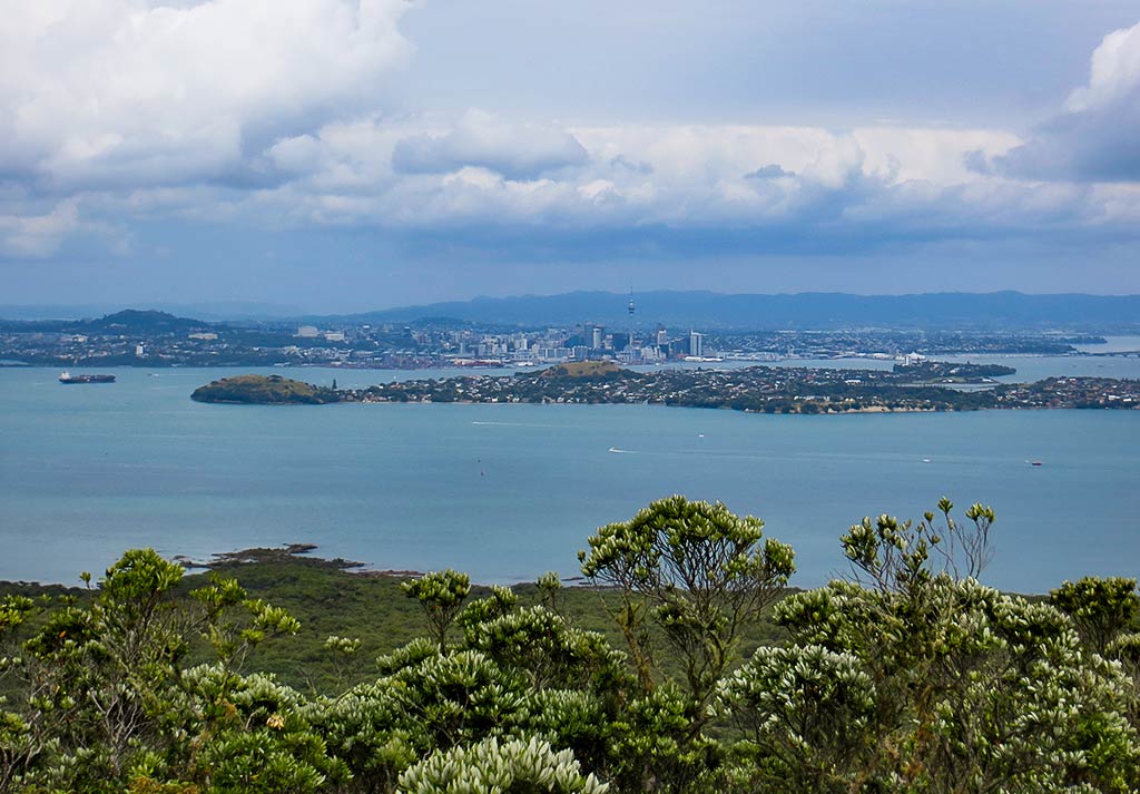
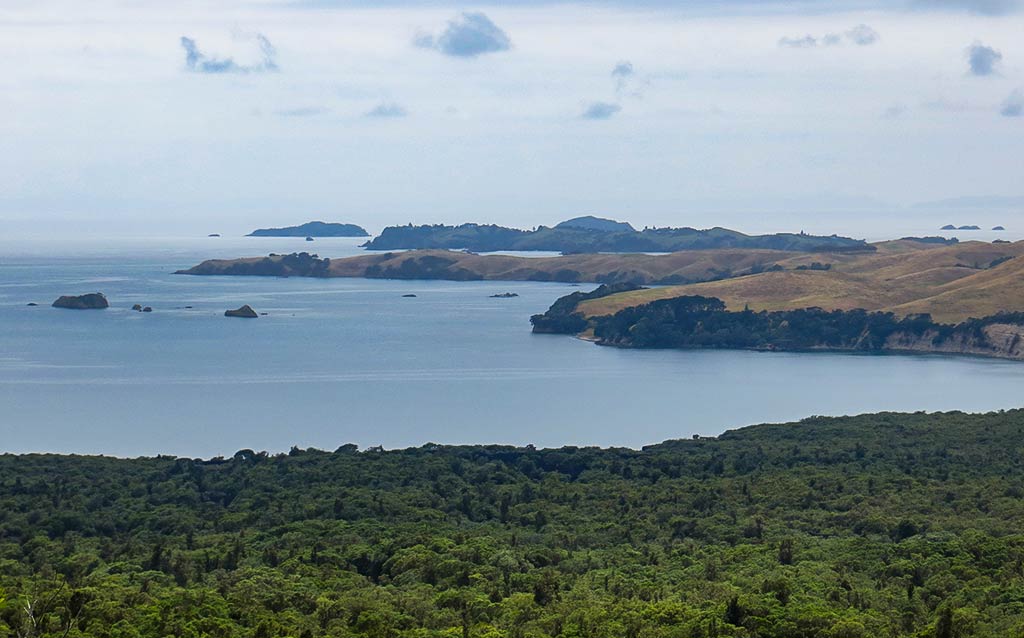
Finally we came to a boardwalk and stairs. Up we went, the stairs getting steep for awhile but delivering us at last to the summit. We headed to the first viewing platform which hung right at the edge of the caldera, looking down into it, which was pretty impressive. From there we did the loop walk aorund the rim, getting terrific views of the Hauraki Gulf and Auckland. So many times we’ve looked out at this peak from Auckland; so now it was fun to see the view from the other side!

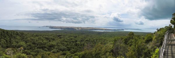
We continued around the rim, reaching more walkways and viewing platforms. The clouds remained, but now I was glad for them as the walk had indeed been quite warm, and I could imagine how hot it must get on a sunny day. Below, three panoramas from various viewpoints (you can click on any one to enlarge).

As we walked, we were thrilled to spot a saddleback, a rare bird usually only seen on New Zealand’s bird island sanctuaries. Rangitoto was still being cleared of non-native mammals, but it seems some Saddlebacks had made their way here, probably from Tiritiri Matangi (a bird sanctuary island) not too far away. We sat on a bench to enjoy a brownie and some water and spotted two more of them! We love New Zealand’s rare birds; so this was very exciting! –Cyndi  (You can click on the photo below to see a close-up view of a saddleback, one of New Zealand’s rare birds.)

Rangitoto and Motutapu, the Strange Bedfellow Islands (The Hauraki Gulf, New Zealand)

February 3, 2014

The distinctly volcano-shaped Rangitoto Island is one of Auckland’s iconic features. Sitting just offshore in the Hauraki Gulf, it lurks in the background of many a vacation photo. It’s the sort of thing a person gets used to only to suddenly notice it anew and think, “Wow, look at that volcano right there!” Of course it’s actually more of an ex-volcano in that it’s dormant and pretty-much-almost-for-sure-never going to erupt again. Knock on wood.

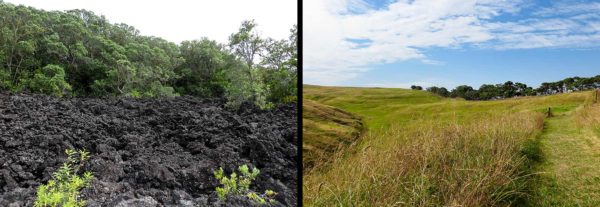
While Rangitoto is the standout from the Auckland viewpoint, it’s actually attached to an island nearly as large, Motutapu, by narrow land bridge, an artificial causeway. Although these islands are joined, they are vastly different in age and character (sort of like the Felix Unger and Oscar Madison of islands—vastly different but living together). Rangitoto is comparatively young while Motutapu is much older. This means Rangitoto is still volcanic and has a distinct cone, bushy green growth, and some forest near the top. Motutapu is much more worn, its rounded hills covered with golden grass and batches of trees. You can see what I mean in the satellite map below, with Rangitoto being the green island on the left.


And below a close-up view of the landscape of Rangitoto alongside a view of the landscape of Motutapu.

Our day’s destination was a narrow, deep bay called Islington Bay, which sits between Rangitoto and Motutapu Islands. If we got tired of looking at the green volcanic island, we could simply turn the other way and enjoy the bucolic golden hills of Motutapu. Below, a map of Islington Bay.


The day was lovely with a light breeze, but we took care to depart before Bayswater’s almost-daily afternoon winds picked up. We’d done some early grocery shopping and bought bread at a French bakery before parking our car where it could sit for some weeks, awaiting our return to retrieve it. We said good-bye to the nice people at the marina before motoring down the channel past Auckland and out into the Hauraki Gulf. From here, it was only five miles to the entrance to Islington Bay.

After a pleasant motor sail, we rounded the corner and headed into this very unusual bay. It wasn’t particularly beautiful, but it was interesting and unique. The land on the Rangitoto side seemed quite low in spite of the peak in the middle, while Motutapu wasn’t particularly tall, either. There were a few boats already here, but there looked to be plenty of room.

We motored in, found a good spot, and dropped our anchor. So far so good, but then something weird happened. When Rich backed to set the anchor, it seemed to hang down nicely, but we kept backing and backing. I was pretty confused, not understanding what was going on. Surely if we were dragging, the anchor would at least have some pull? It seems not so much–when the bottom is very silty, the anchor can glide easily through it. I’d read the bottom of this bay could be problematic, and now we were getting a demonstration—the anchor wasn’t even thinking about holding!

We motored further in and tried again, very relieved when this time the anchor caught and held. This anchorage had seemed roomy enough, but if a portion of its bottom was untenable, it might be much smaller than it looked. If we’d done two more tries with no luck, we’d end up having to go elsewhere. But luck was with us and our anchor held, so we could turn off the engine, open the hatches, and settle in to enjoy the afternoon. The sky became overcast and a little hazy; so we decided save our trip ashore for tomorrow.

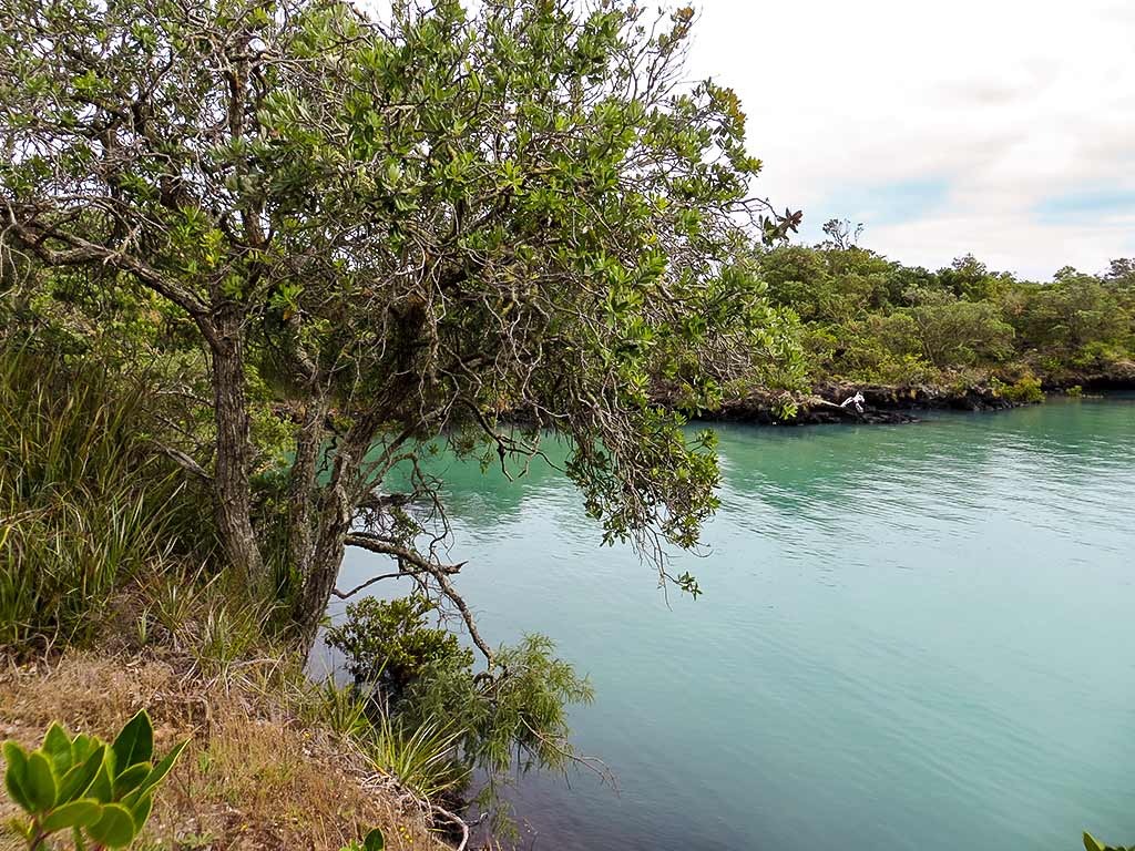
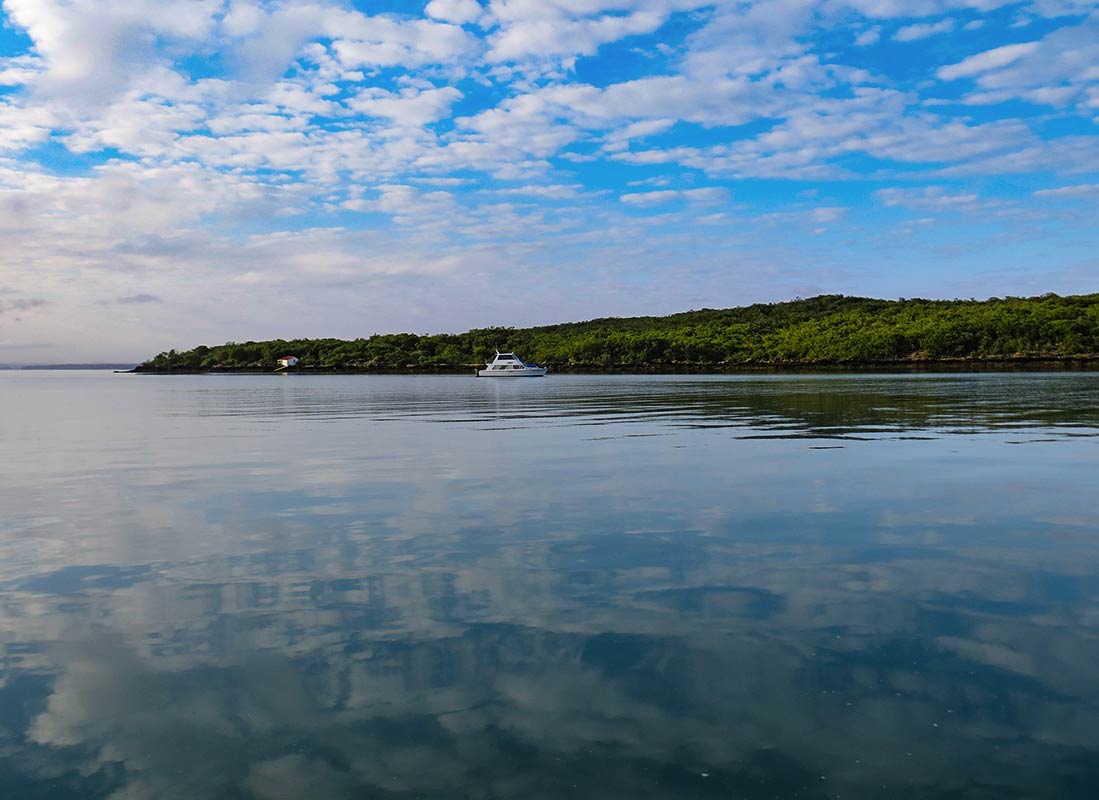
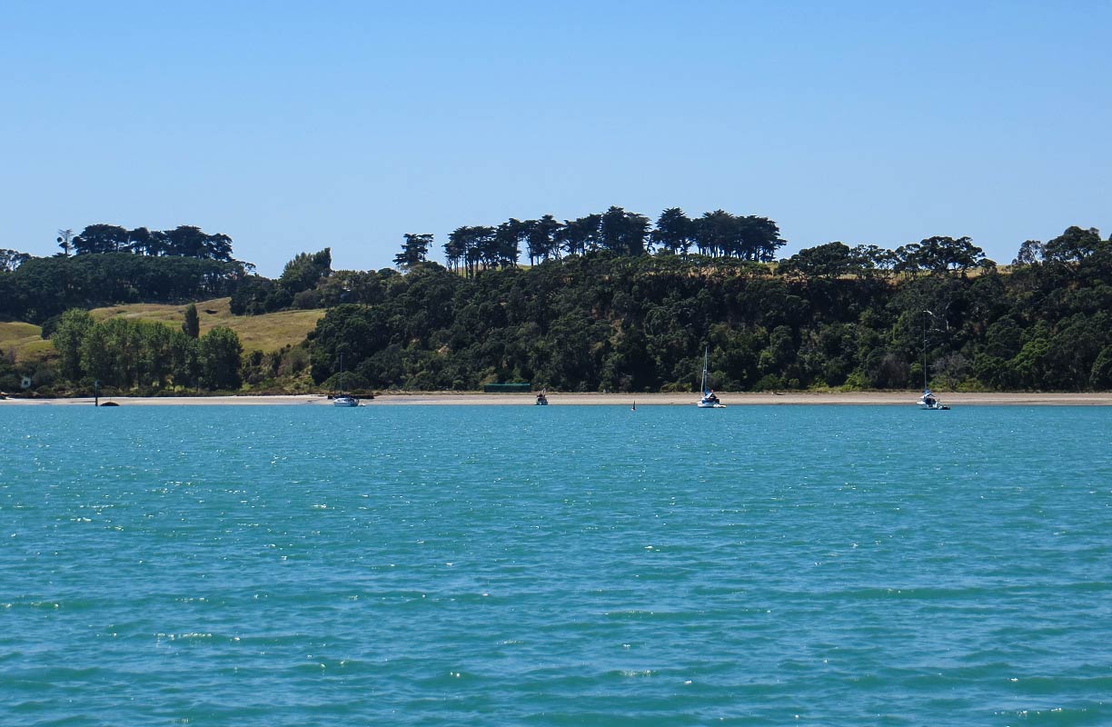
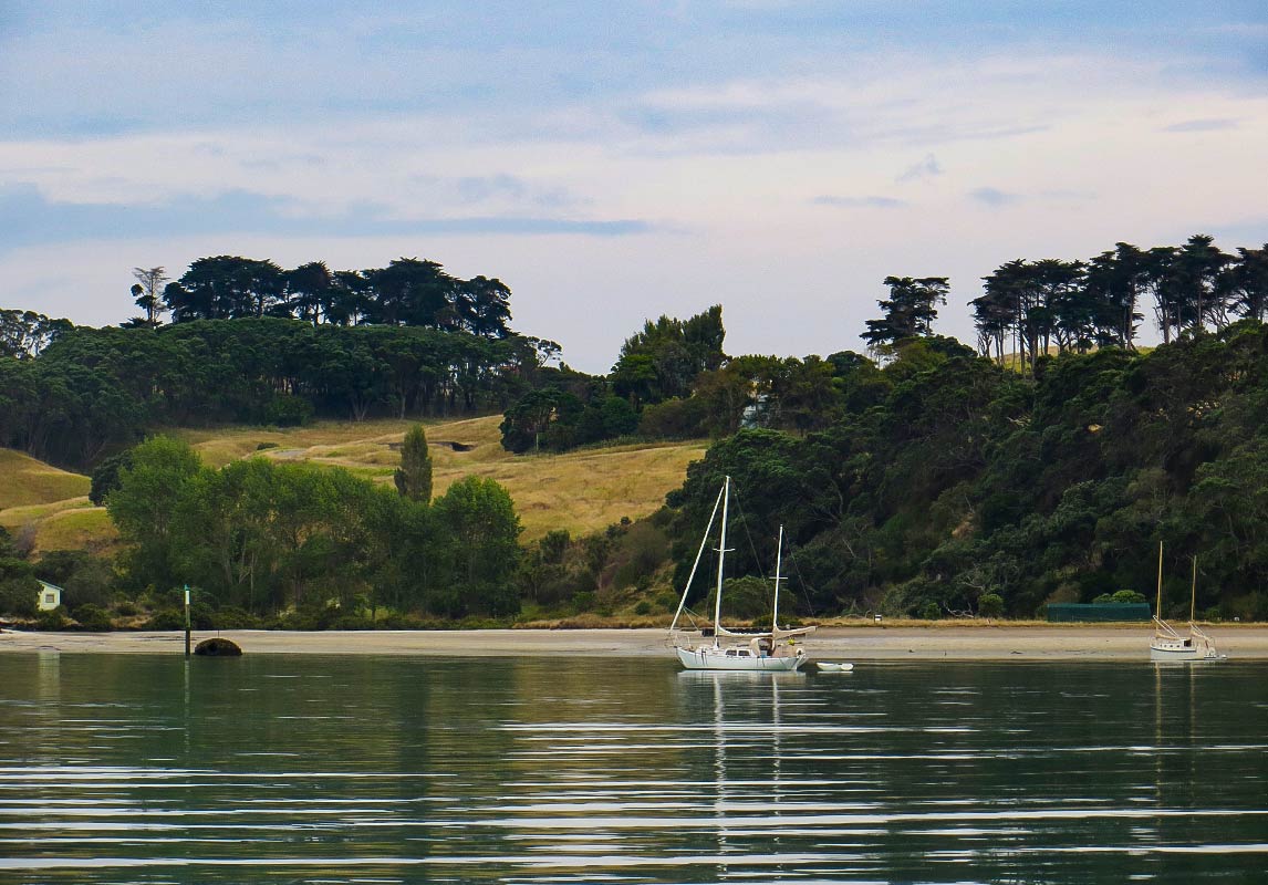
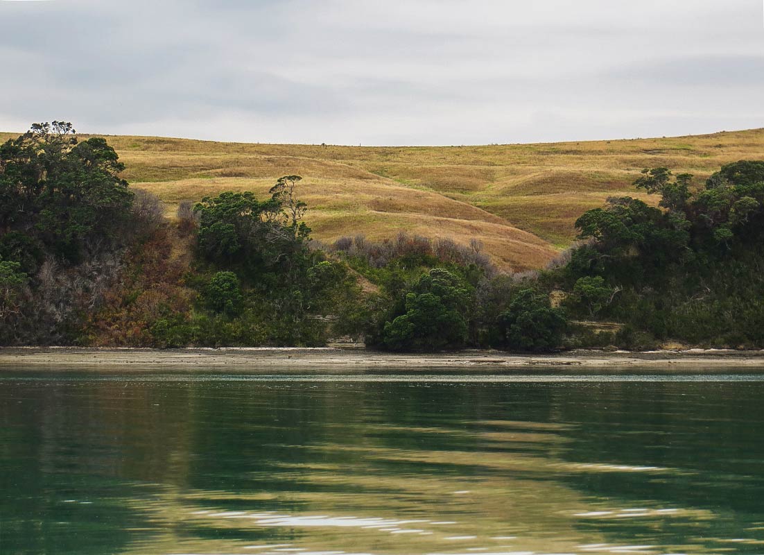
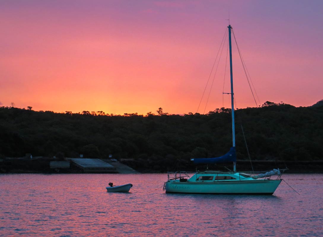
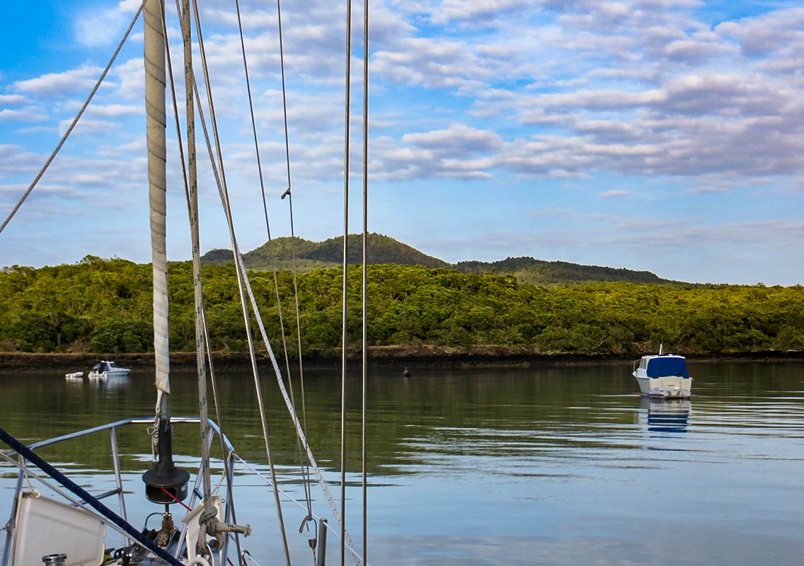
We sat in the cockpit with a glass of wine and marveled at the differences between the two islands. Below, some photos (taken at various times of day) of the Rangitoto side. You can see it’s fairly low, darkly colored and covered with thick bush. To us, it reminded us a bit of mangrove areas in the tropics. There were no mangroves in that particular area, but it was similar in its look and feeling.

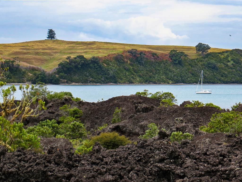
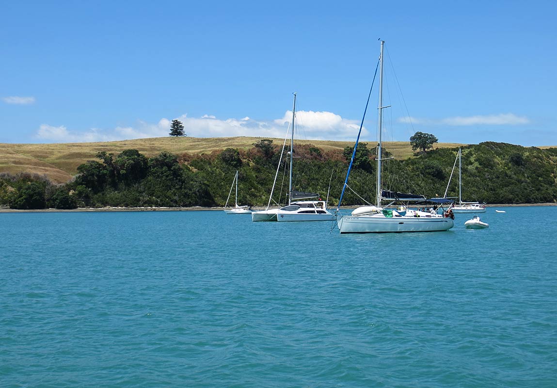
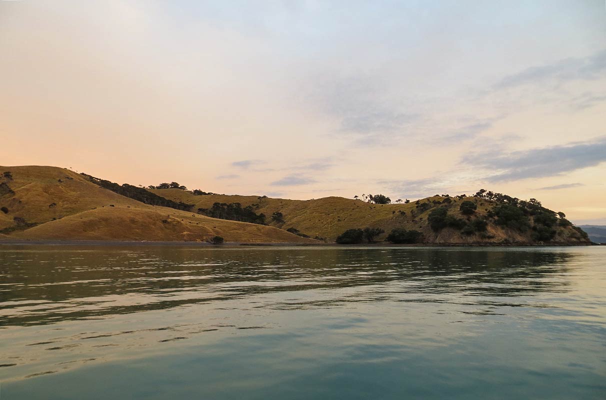
And on the other side the golden grassy hills of Motutapu, really quite pretty in a low-key way.

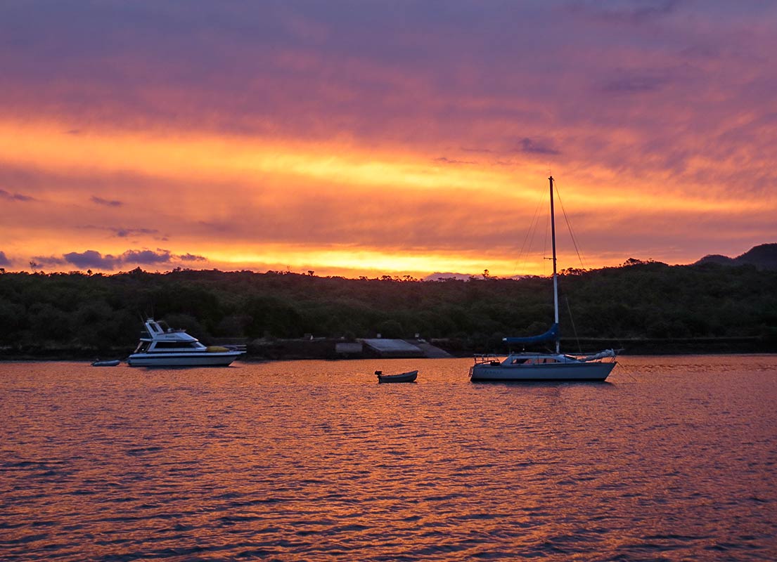
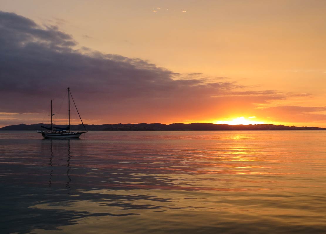
For an early dinner, we enjoyed some cheese and bread from the French bakery. When the sun set behind the hill around 7:30, we headed back to the cockpit to have some celebratory “we finally got out again” champagne.

It felt so good to sit outside on a warm evening, watching a lovely sunset, and mentally transitioning from city life to life at sea. Between the provisioning, errands, last-minute boat projects, refueling, etc., it’s always somewhat of an ordeal to get ready to cruise again, but once we get past that, it feels so nice to be at sea again. It was with reluctance that we finally headed below.

The next morning it felt great to wake up and go immediately outside for our morning coffee. The sky was overcast, but it was warm and still, the clouds beautifully reflecting in the glassy water around us.

Today we planned to hike to the top of Rangitoto, and tomorrow we’d take a hike on Motutapu. We knew these would be two very different hikes, but they both looked appealing.–Cyndi
Where Are They Now?

July 16, 2020

With all the prehistoric posts Cyndi’s been doing (like way back in 2014!), I thought it was time for a current post. The problem is that I have little to say.

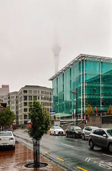
The past few days, or maybe the past week, have been gray and drizzly with brief sunny periods and brief, heavy rain, mostly at night. Yesterday, during our daily ‘no matter what the weather’ walks to get lunch, the Auckland Sky tower was barley visible in the clouds and fog.

We are enjoying Auckland, despite the weather. There are so many great restaurants to try. We’ve mastered the bus to get across the bay to a few of them. Also Uber works really well here. I think the longest we’ve waited for a ride has been  two minutes. It’s reasonably priced as well: just a little bit more than the bus when you’re talking about transporting two people.

So here’s how our days mostly go:

Cyndi reads the covid news.
Cyndi gets lost in Facebook for a while.
Cyndi researches the day’s dining activities.
During this, Rich reads Reddit and thinks about the day’s projects (which as often as not, get pushed back to another day).

Finally it’s lunch time. We walk or ride there, eat, and return to Legacy, often with a Gelato stop on the way home.

Cyndi works on blog posts.
Rich tries to work on a project.

Then sometimes, we’ll have dinner.

“Oh my God, is it already 6:00!?” Time for showers and to crawl into bed for some reading.

Yea, I know that’s early, but it’s dark by then!

And so our days go. It may not be a productive life, but it’s very pleasant.

-Rich