Rotoroa Island: North Tower Loop Track, Part 2 (Hauraki Gulf, New Zealand)

February 9, 2014

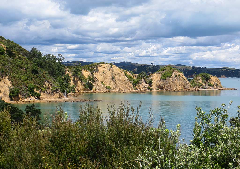
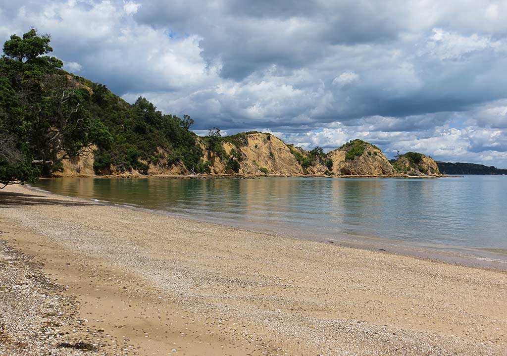
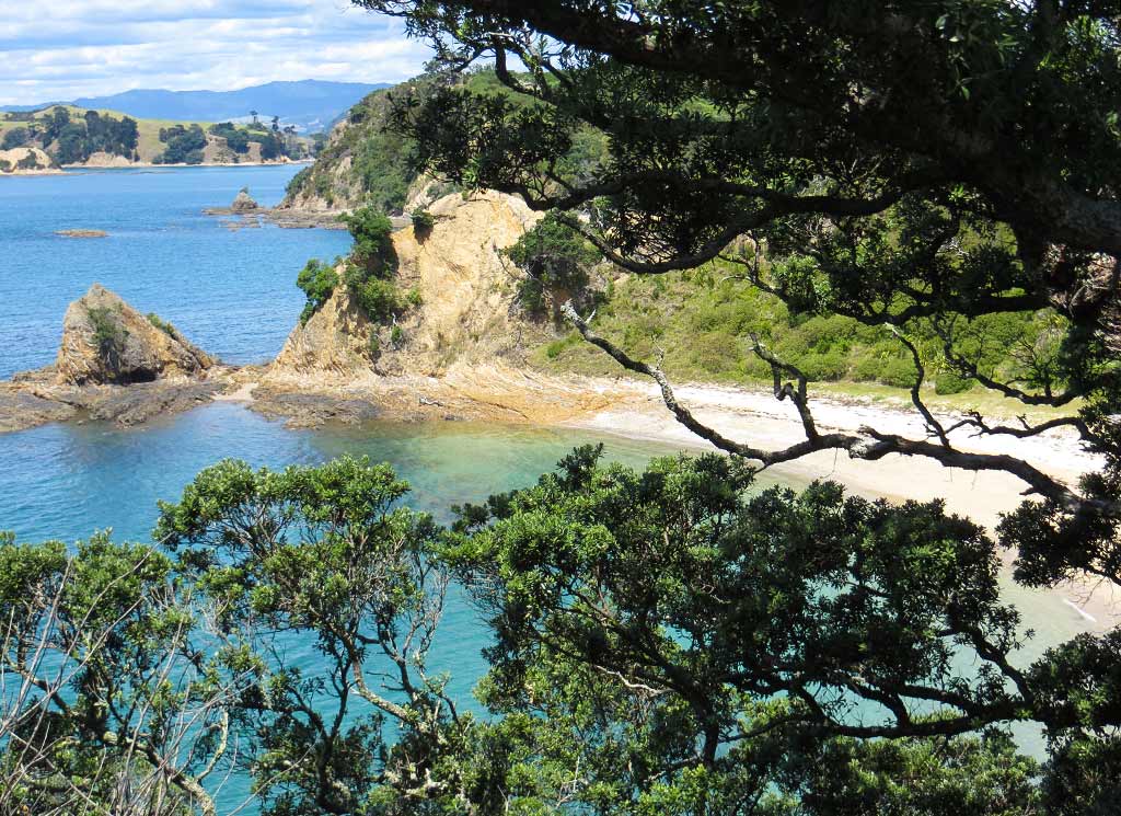
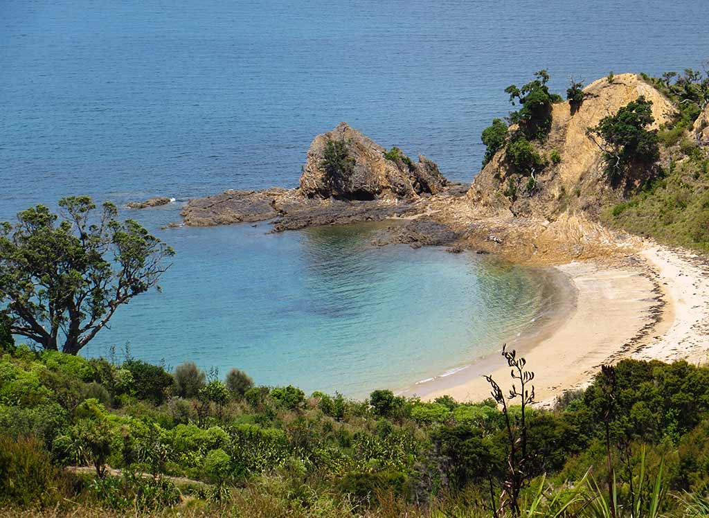
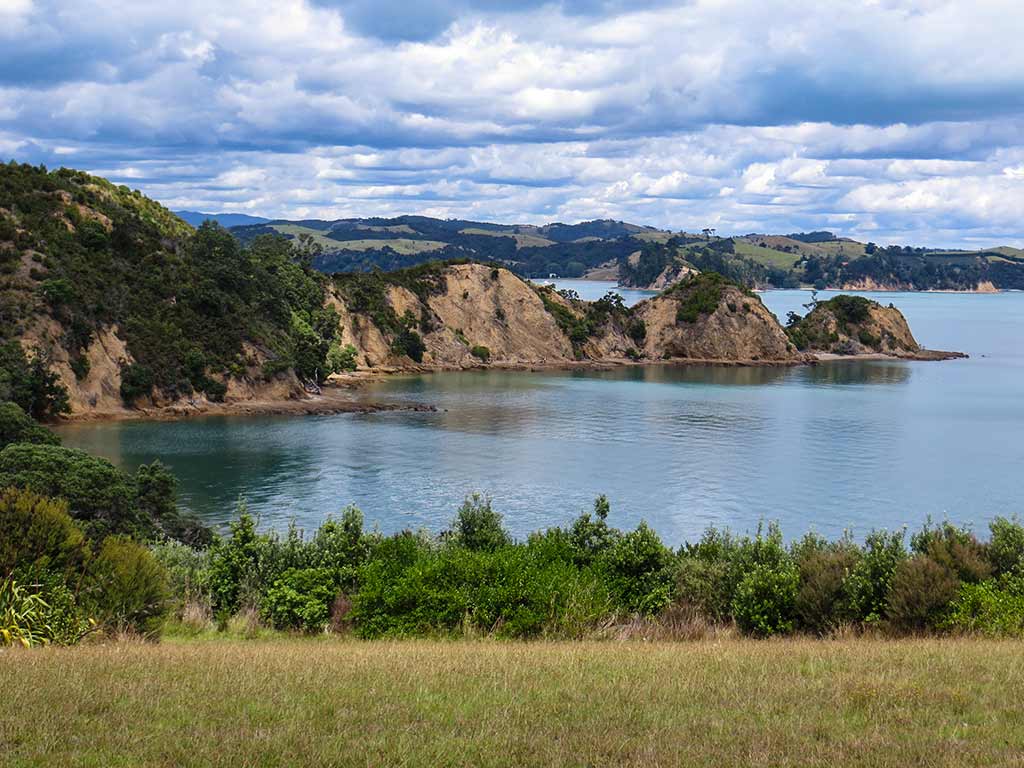
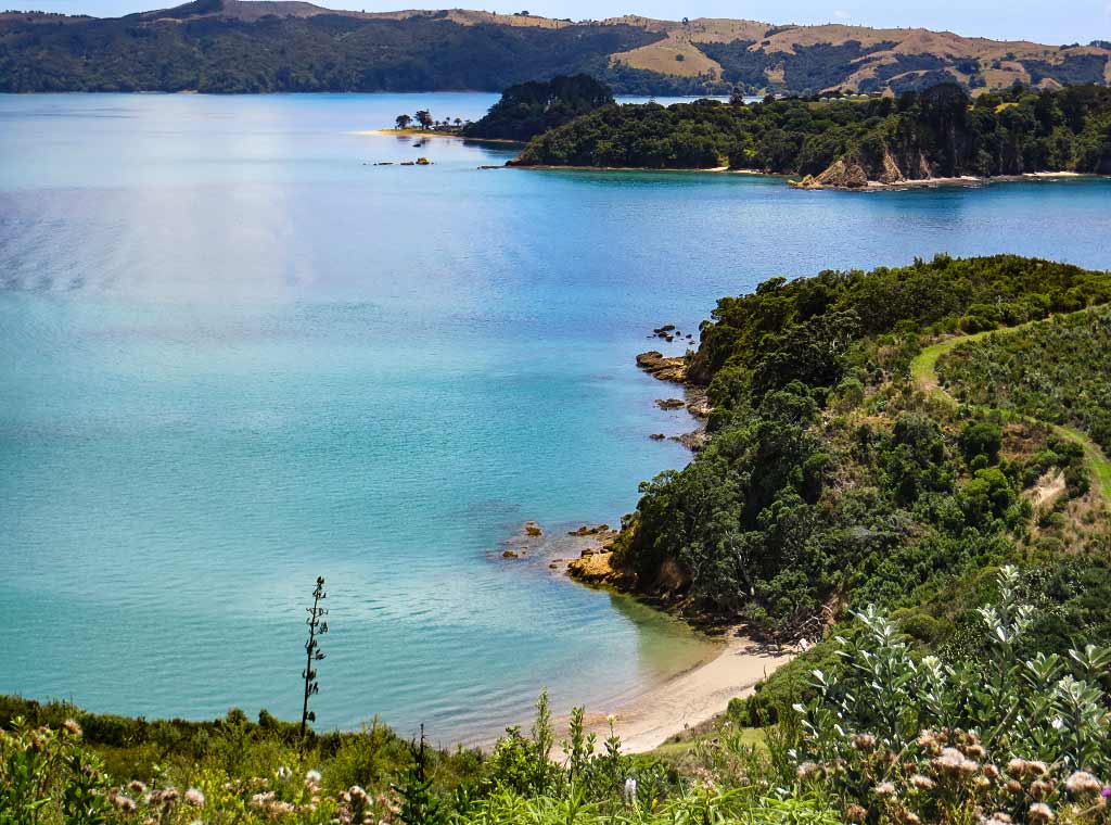
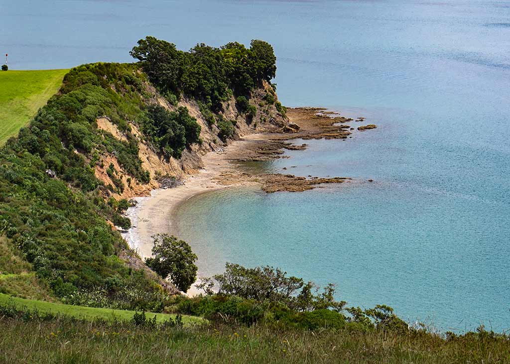
After appreciating the views of the Hauraki Gulf from the North Point Tower, we continued to an area called Mai Mai Bay. From above we could see the reach of its unusual headland: a long, a long narrow arm with three distinctly pointed hills. We then followed the trail down to Mai Mai Beach.

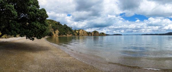
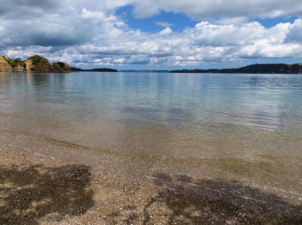
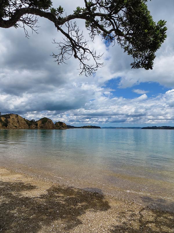
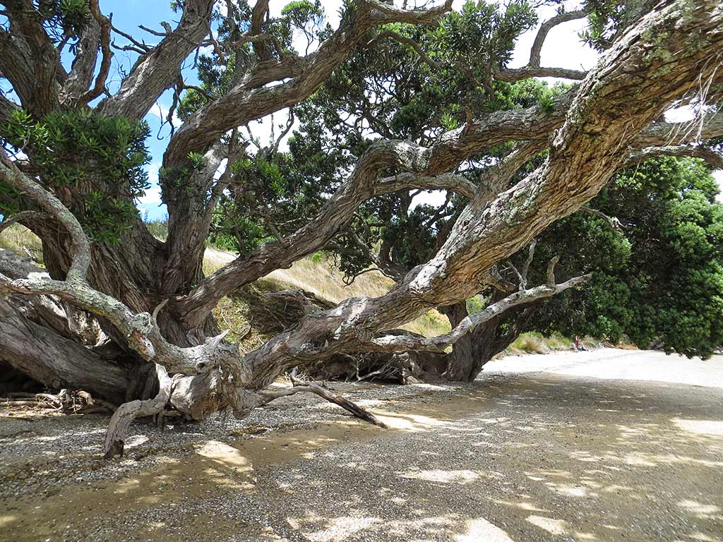
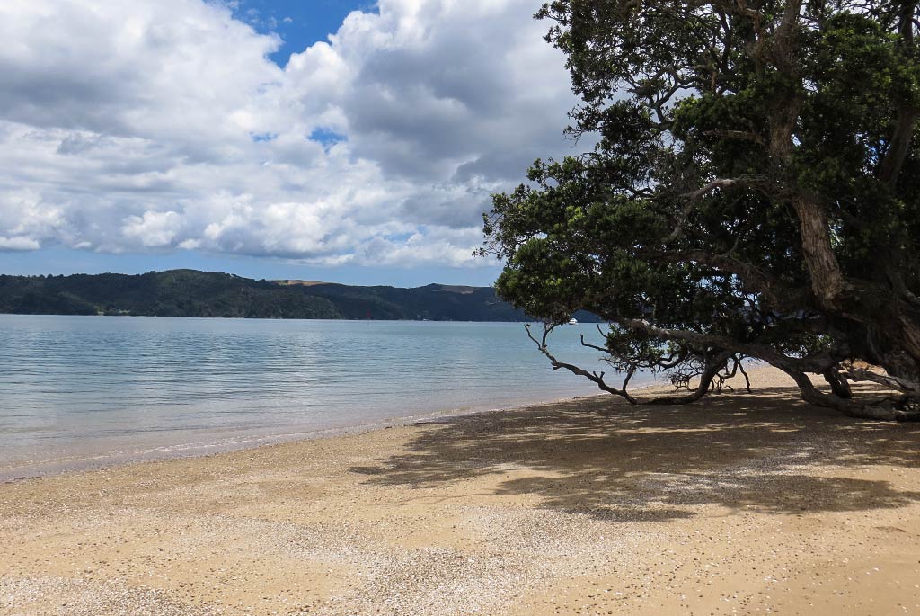
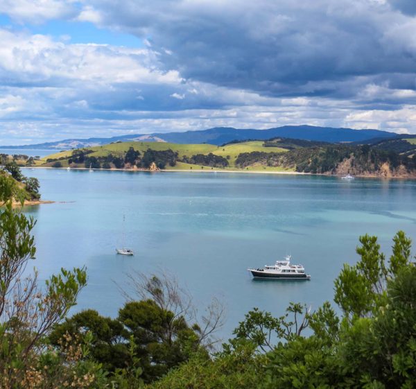
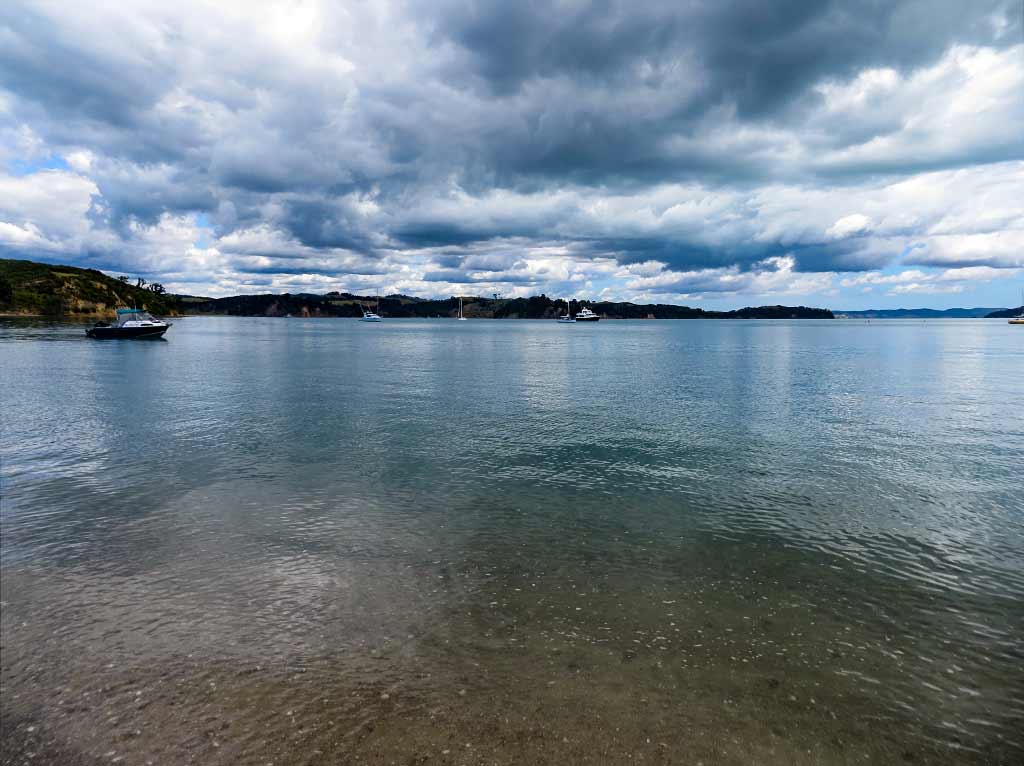
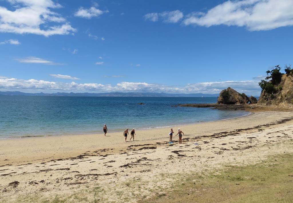
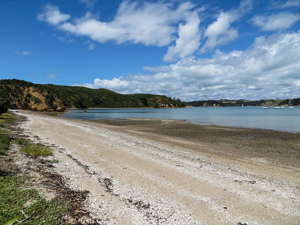
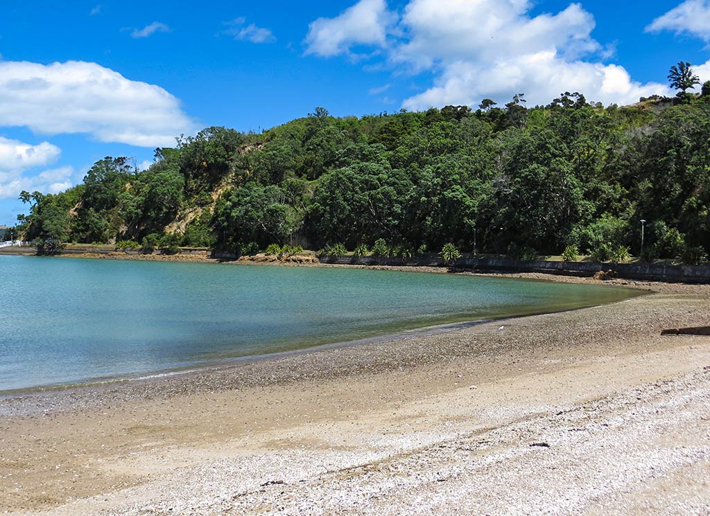
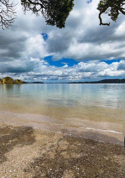
We soon found ourselves in a strange and beautiful place. The beach’s beige sand had a distinct pink tinge and was strewn with white pebbles. Here and there, branches from scattered pohutukawa trees provided bits of shade. The water was very clear, and the pointy-hill headland provided a backdrop that gave the area a surreal look. New Zealand’s ever-present long white clouds softened the natural light, giving the scene a dreamy feeling. The silence and stillness added to this effect. This was a place that seemed to invite meditation or spiritual contemplation rather than swimming and cavorting on the beach.

Below, a couple of panorama photos…

And here’s a small gallery. Click for larger images in any galleries that follow.

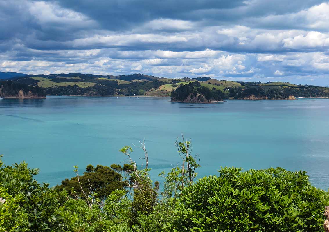
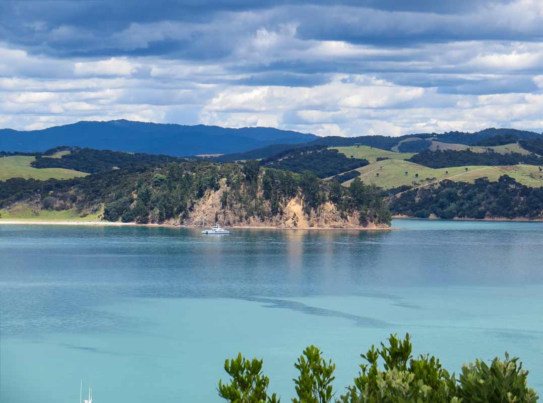
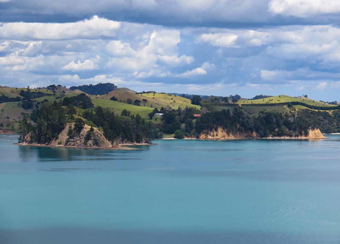
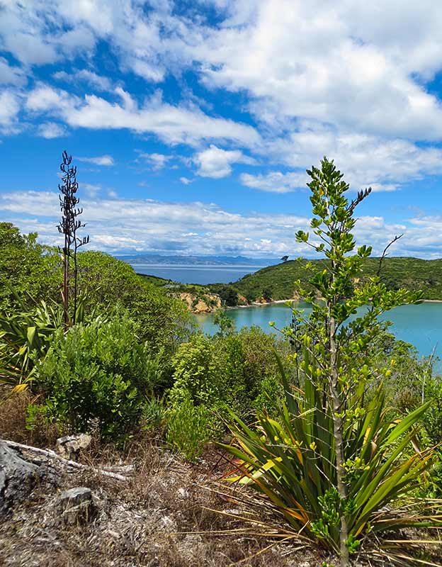
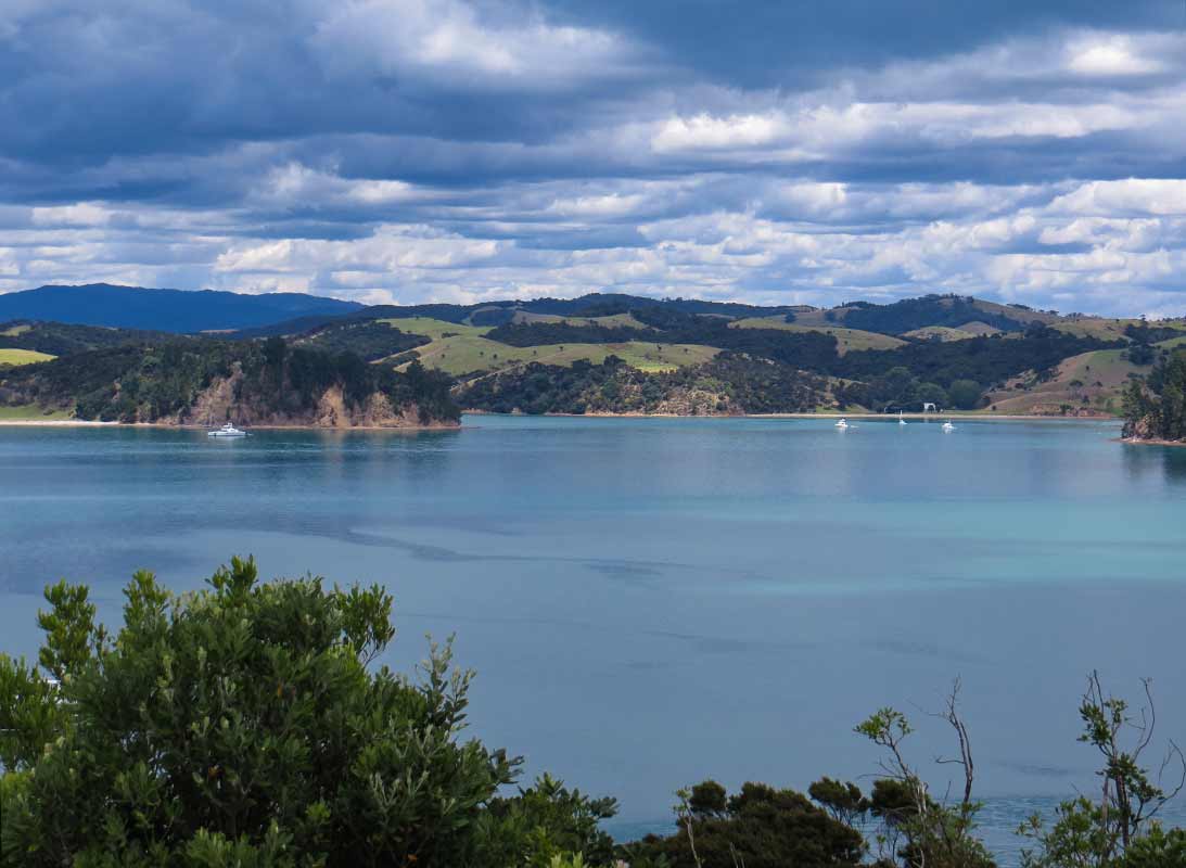
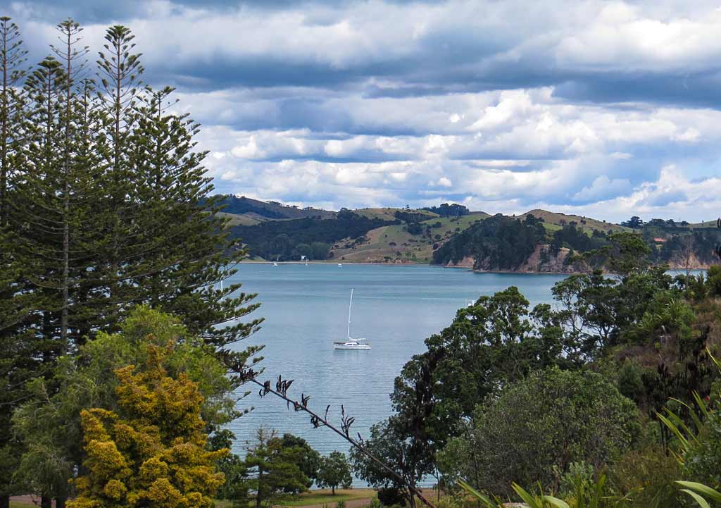
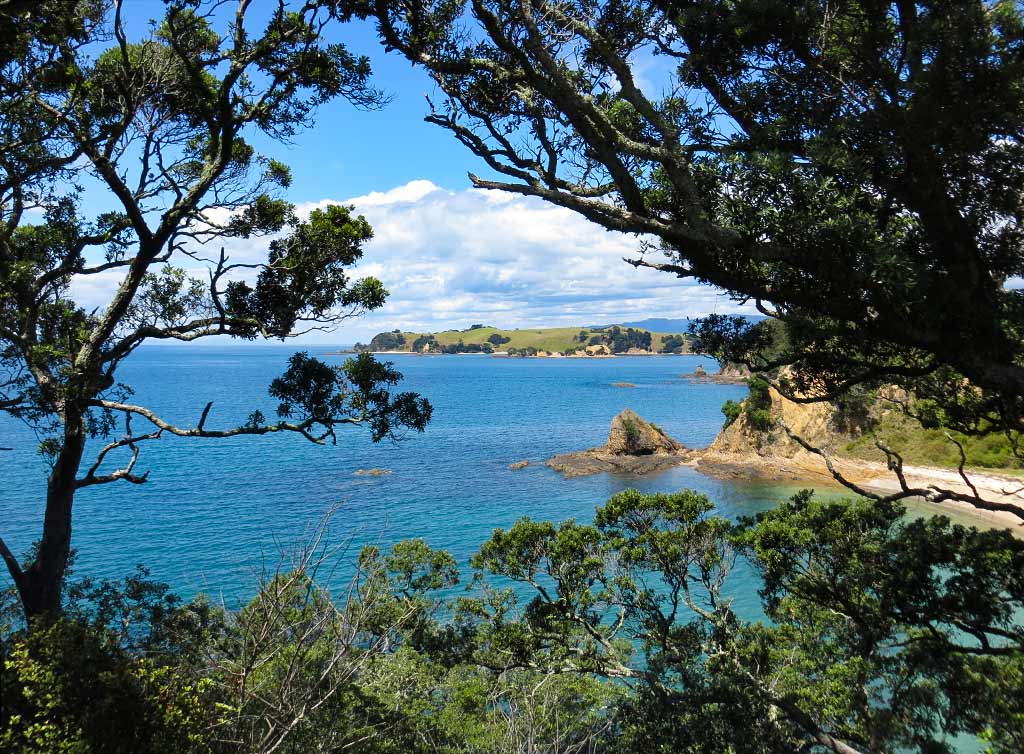
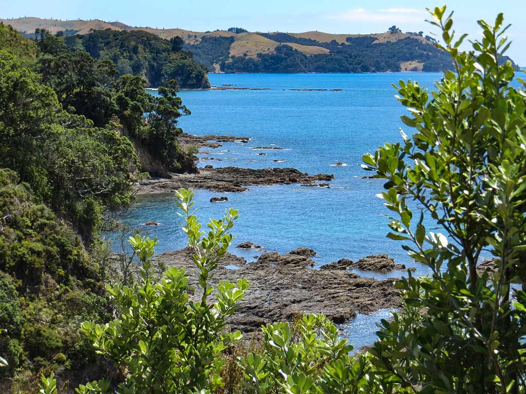
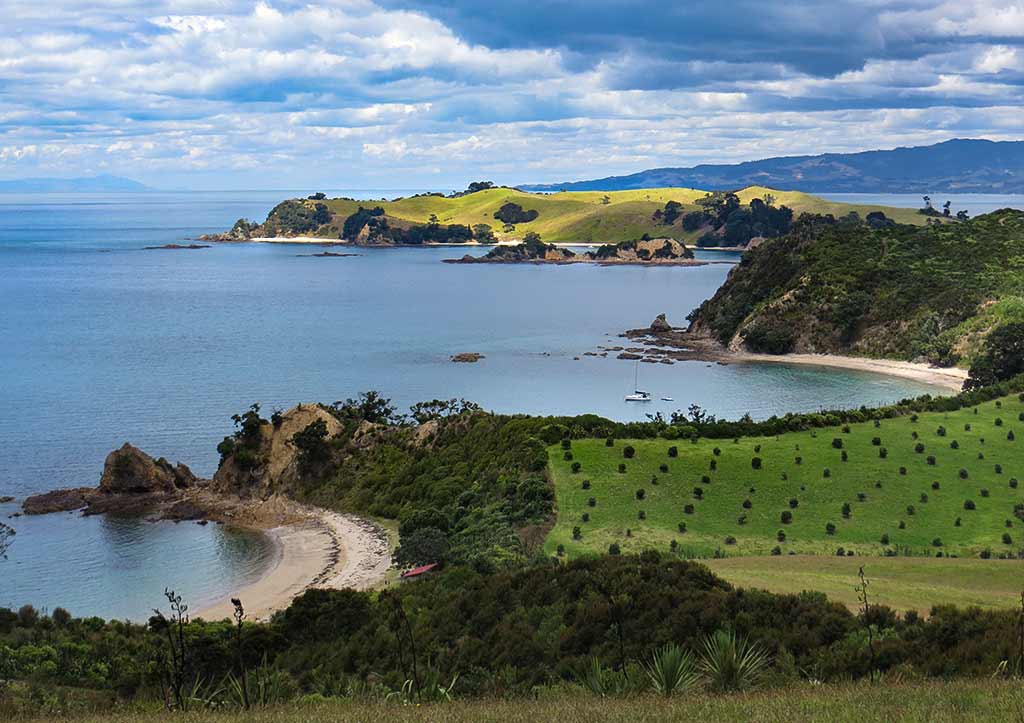
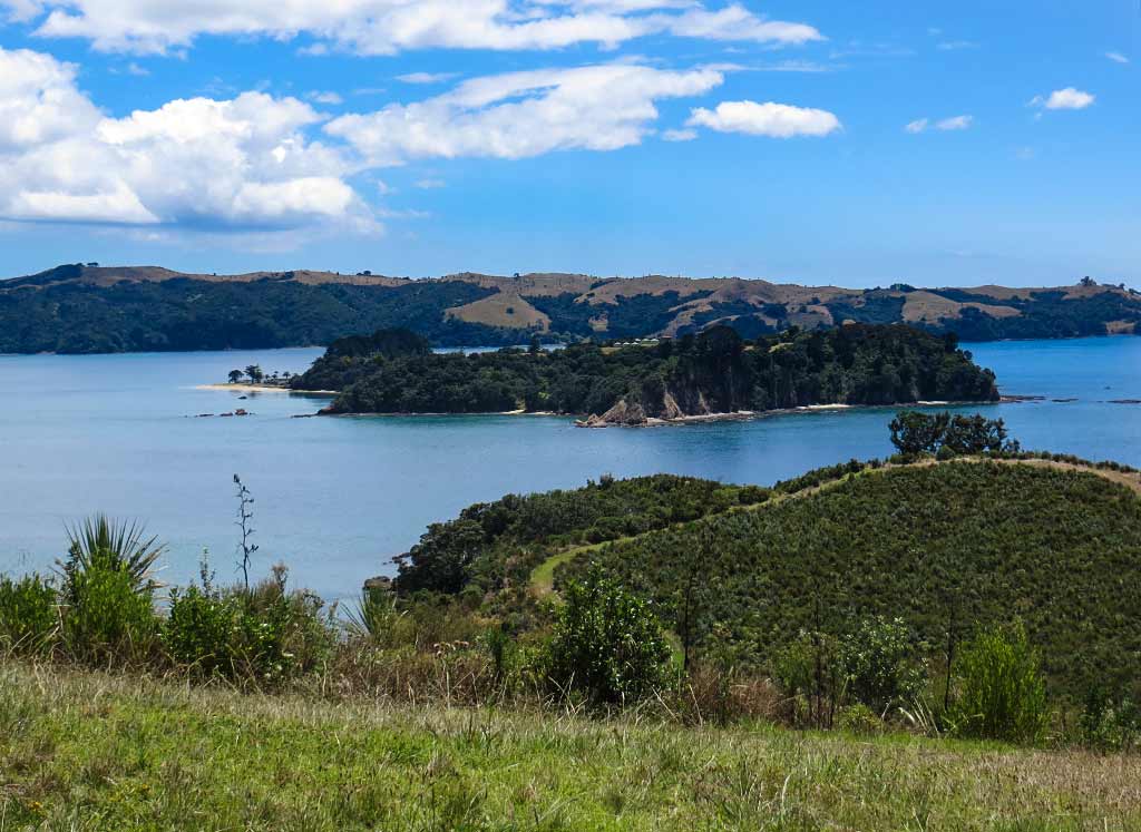
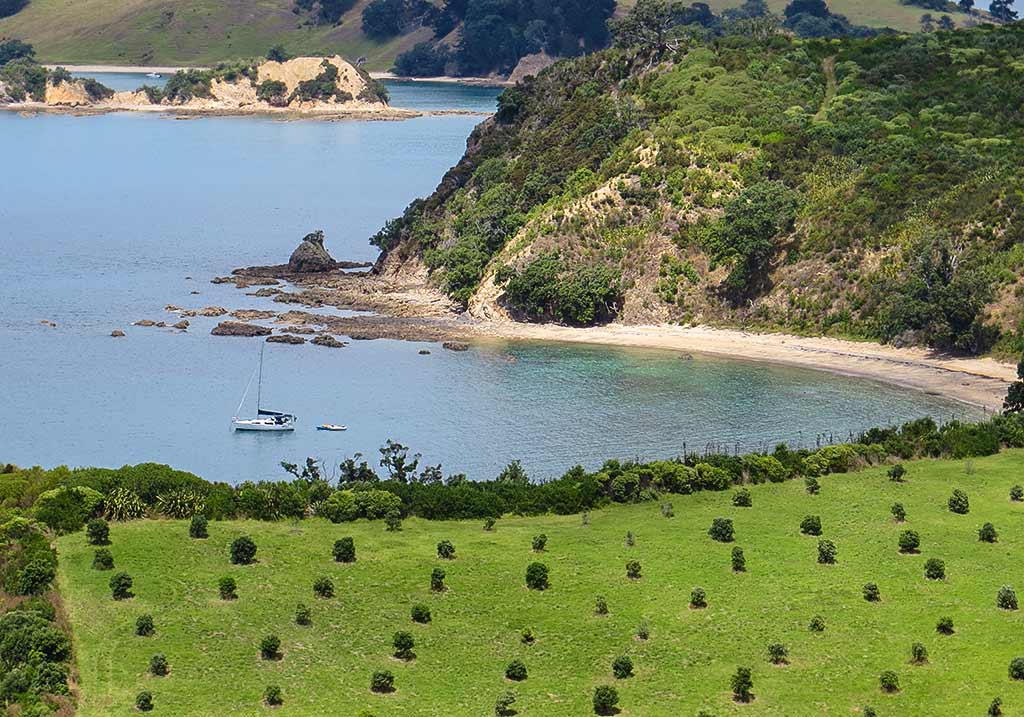
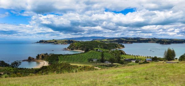
After a time, we hiked back up the hill and continued along the trail to another lookout called Mai Mai Lookout. Here, we found more fantastic views of this area of the Haruaki Gulf. Especially pretty was the sight of the beautiful green hills of Ponui Island overlooking a channel with beautiful shades of blue, ranging from soft teal to robins egg.

Below, panorama photos. You can click to enlarge them.

There are many beautiful vistas in the Haruaki Gulf, but I’m not sure any of them can match those of Rotoroa Island. We continued back to Home Bay where our boat was.

Once there, we stopped to watch a kiwi-like bird called a weka and chatted with a man who worked here. He told us about all the birds coming next, including big, flightless birds such as kiwis and takahes. It wouldn’t be long before Rotoroa would be in the league of other bird sanctuary islands such as Tiritiri Matangi and Kapiti.

What was neat to see is this island, having served as a sanctuary for the rebirth of so many, was now experiencing a rebirth of its own. It would be amazing to return in a few years and see the changes taking place.

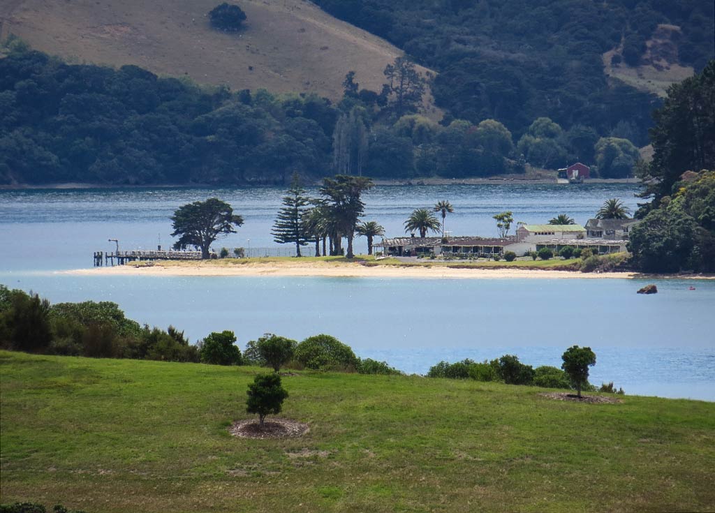
A note about Pakatoa Island: On our hike we got a pretty good look at neighboring Pakatoa island just north of Rotoroa. It, too, once belonged to the Salvation Army and was used for rehabilitation. Rotoroa was mostly for men, while Pakatoa was where the women stayed.

Since that time, the island had been sold and turned into a resort island with a hotel, golf course, and landing strip. The resort was now abandoned but a caretaker stayed on to watch over things. We ran into some cruisers who actually landed on the island and were welcomed by the caretaker who showed them around, but it’s generally known as a private (don’t visit) island. Occasionally the island goes up for sale; so who knows what will come of it in the future. Below, a couple of photos of the island and it’s resort.

We headed back to our boat feeling very happy we’d visited this island, but we’d noticed the anchorage at the north end of Ponui Island had cleared out during the walk. Since it was so close, we figured we might as well head over.–Cyndi

Rotoroa Island: North Tower Loop Track, Part 1 (Hauraki Gulf, New Zealand)

February 9, 2014

Our first destination of interest was a beach called Ladies Bay; so named because that’s the beach where women (separated from the men) could swim when this was a rehab island. Just around the headland was a beach for the guys, aptly named Men’s Bay; but since a visit there required taking another trail; we’d have to skip it.

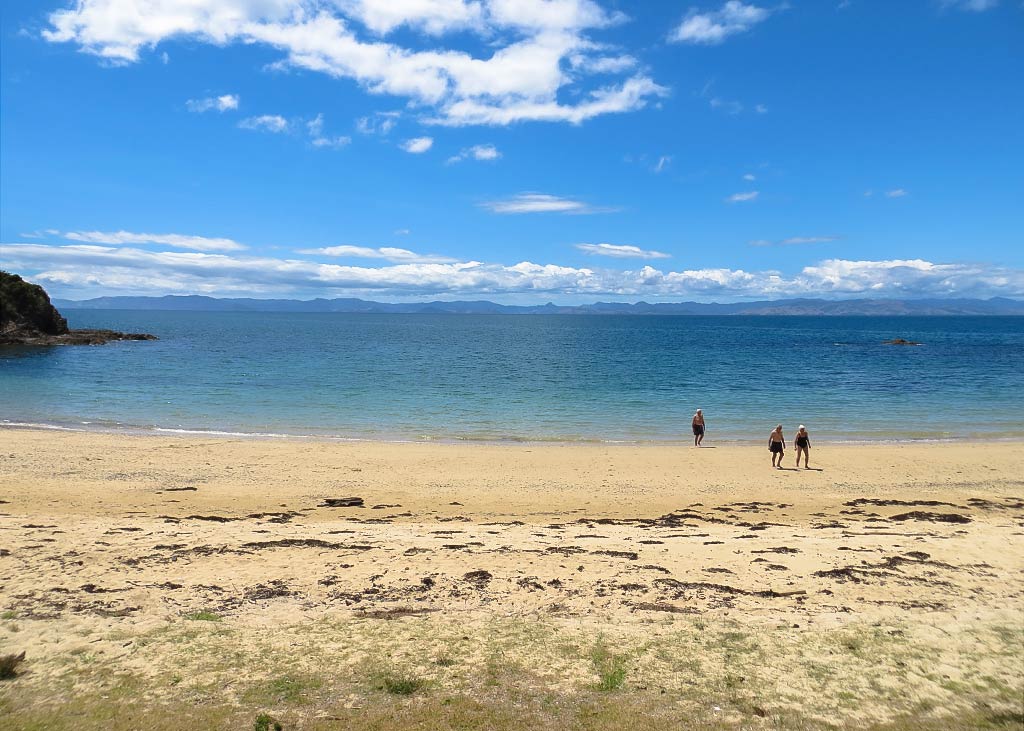
We set out on the trail over a grassy hill area and very quickly found ourselves at Ladies Bay. This island seemed so quiet and empty that it was a surprise to find a group of people swimming there. Perhaps they came over on a ferry or a boat in another bay?

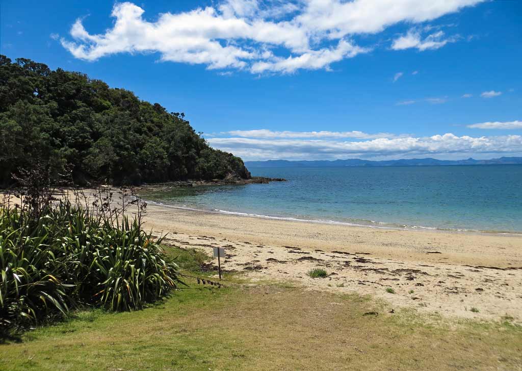
Ladies Bay was lovely, a perfect half circle of bay between two bushy headlands. A lawn sloped down its crescent of golden sand and water in pretty shades of blue. In the distance, the Coromandel Peninsula stretched across the horizon.

Below, a photo gallery: click to enlarge any photo in galleries that follow.

After enjoying Ladies Bay, we climbed to a viewing area overlooking it before continuing along the trail. Very quickly, the feeling of being the only people on this island returned. The walk took us through regenerating native bush interspersed with areas of lawn, the colors around us shades of green and tan with glimpses of the blue ocean.

When we arrived at North Point, we were rewarded with a breathtaking view filled with islands, bays, and beaches. Areas of the neighboring islands were so close they felt as though they could be part of this island. Tiny islands dotted the calm blue sea between them.

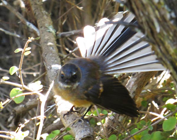
As we continued on to the next part of our hike, I managed to get photos of a friendly fantail that flitted around us. These are some of our favorite New Zealand birds, small and seeming very friendly as they’ll fly around us, sometimes quite close, looking for little insects we might kick up as we walk. They move fast, flitting about, and when they land they fan their tails out, probably for balance, before taking off again. Their friendly nature and flickering tail fanning make them such charming birds.

The rest of our hike will continue in the next post.–Cyndi
Rotoroa Island: A Rebirth in Process (Hauraki Gulf, New Zealand)

February 9, 2014

Our next destination was Rotoroa, and little island not far from our anchorage at Man o’ War.

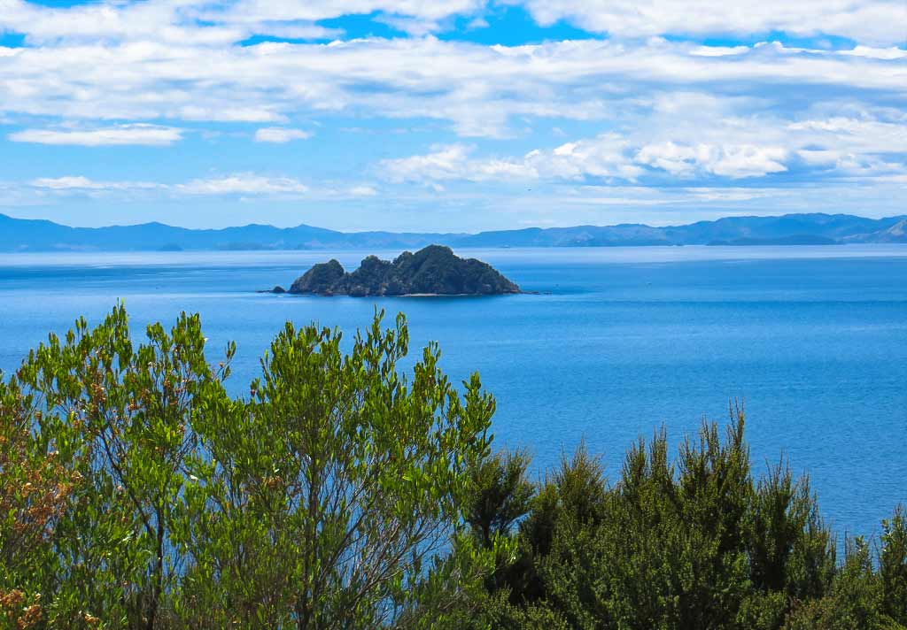
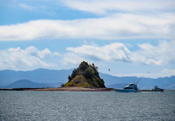
As we motored along we passed this tiny but striking little island.

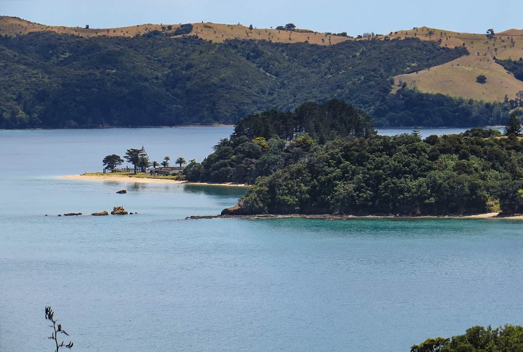
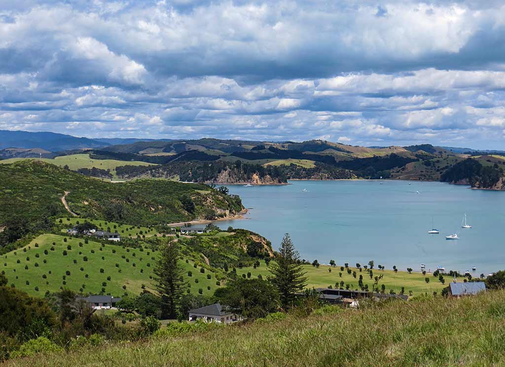
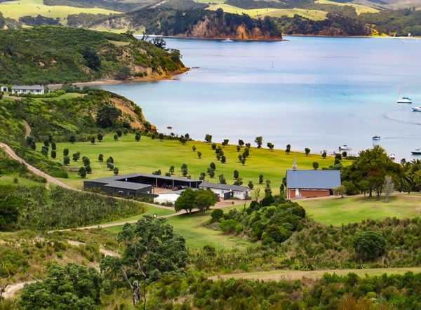
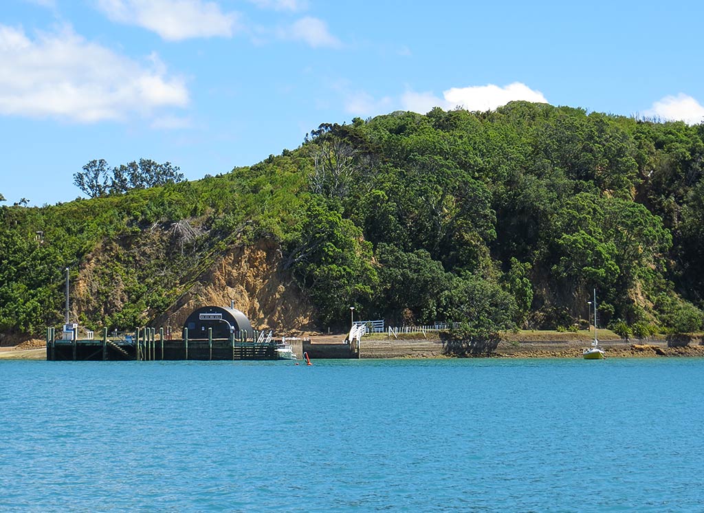
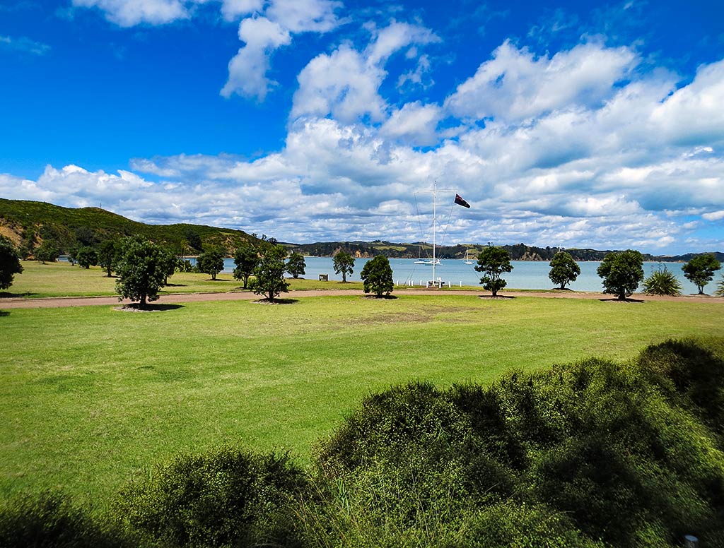
Soon after, we pulled into our chosen anchorage, Home Bay. Below, a photo of Home Bay taken from the island.

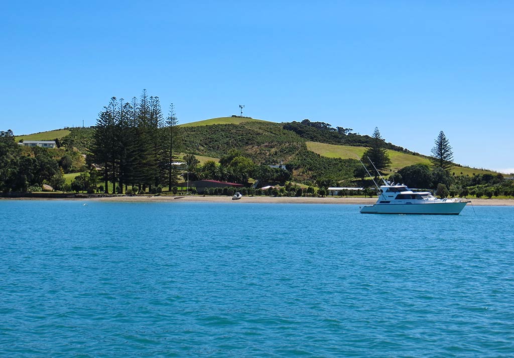
It was the end of a holiday weekend and other anchorages were crowded, but we nearly had Rotoroa to ourselves. Below, some photos of the anchorage (you can click on any photo to enlarge).

Rotoroa used to be private, owned by the Salvation Army who used it for an alcohol rehabilitation retreat. It was later purchased by a wealthy family who turned it into a conservation park. The idea: take this grassy, cow-pasture island and rejuvenate it with native trees, plants and birds. The process would take years and was ongoing, but things were coming along nicely, the new trees and plants growing and native birds slowly being introduced to the island.

It hadn’t been open to the public all that long, and we didn’t have any good information about the rules for visiting the island. After we anchored, we got in our dinghy and headed over to the other boat in the anchorage to see what we could find out. They said this is a wonderful place with pretty beaches, nice hiking, and an interesting little museum. There was a $5 pp fee to visit the island (and an honor box in which to leave it), but they assured us it was well worth the price.

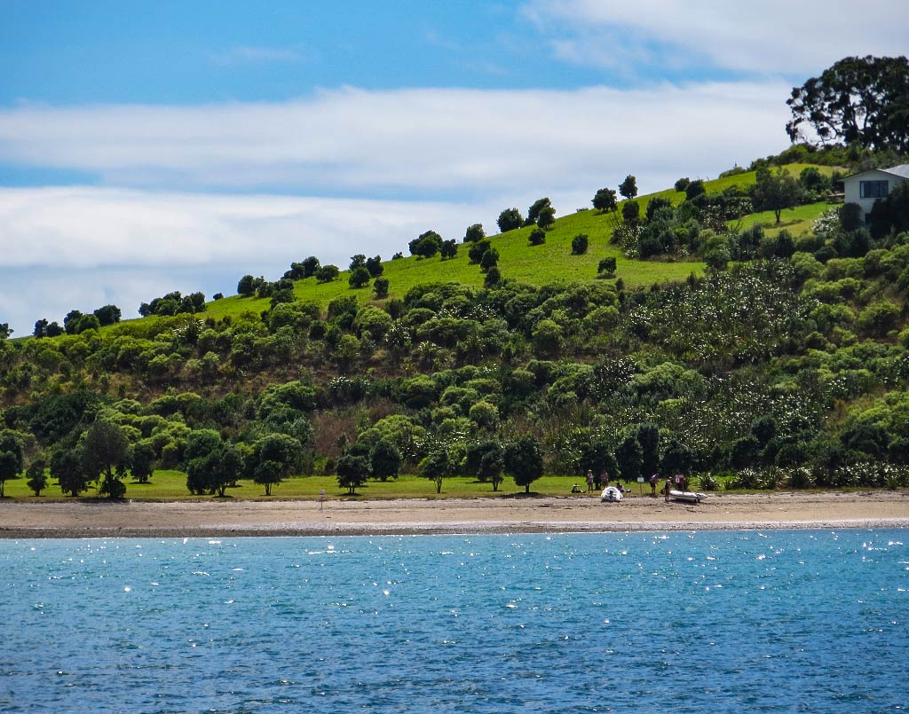
So off we went, beaching the dinghy on a long, whitish pebbly beach. From here we were surrounded by views of nearby islands, especially Ponui only a mile away and Waiheke Island not much further. With all the islands, the ocean was calm and still here, the feeling very peaceful and quiet. Between the striking scenery, peaceful bay, and the glowing warmth of the summer sun, it seemed odd there weren’t more people around. It felt like we’d stumbled into some sort of secret place.

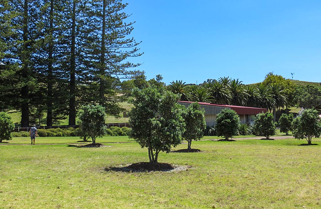
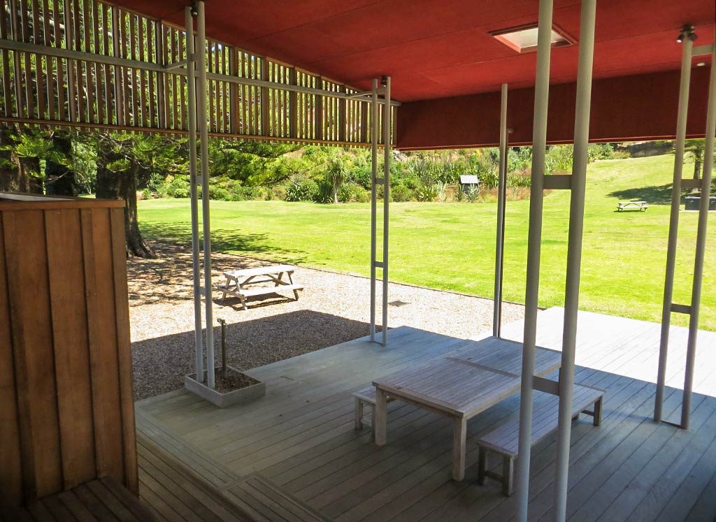
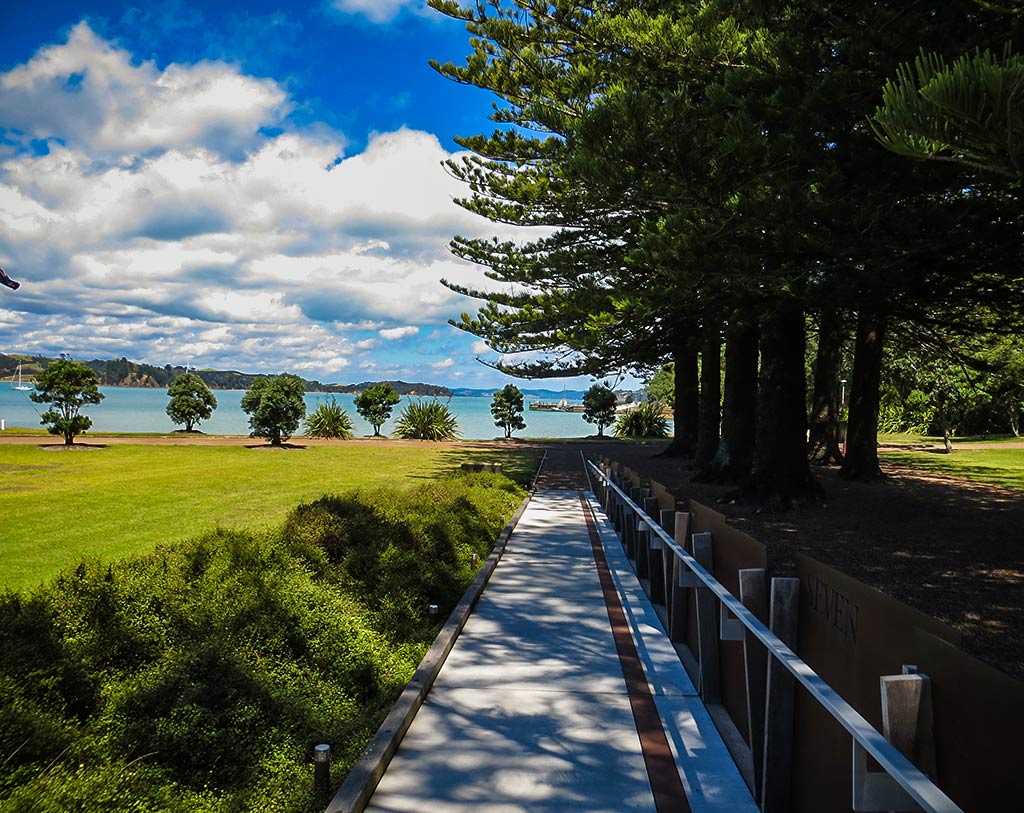
As we walked further ashore we could see this place was rather unusual, looking very new with a sizeable area of manicured landscaping. There was a large lawn and planted trees, yet some older trees from the island’s previous incarnations remained, including a row of big pines leading to the exhibition center and a thick grove of Canary Island date palms. These weren’t native, but the decision to incorporate them was wise in that they made a striking look for this gateway to the island.

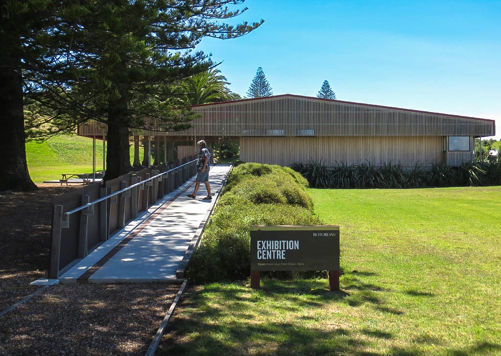
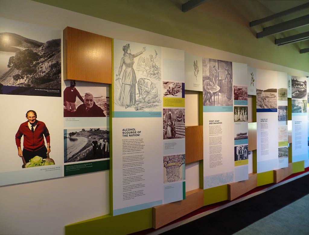
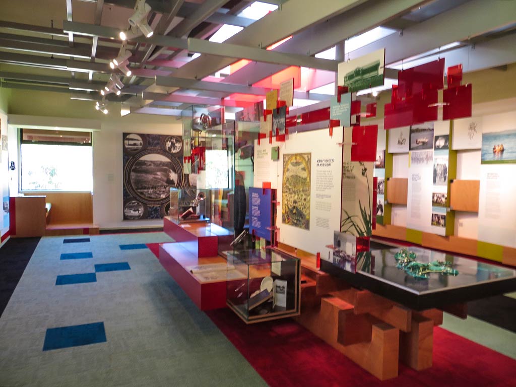
We walked to the little museum/exhibition center and were rather surprised to see its beautiful modern design. It was small, but it seemed they spared no expense on the architect. Inside were exhibits describing the history of the island and the rehabilitation program run by the Salvation Army. We also learned about the new plants and the native wildlife yet to come. In all this seemed like an impressive operation.

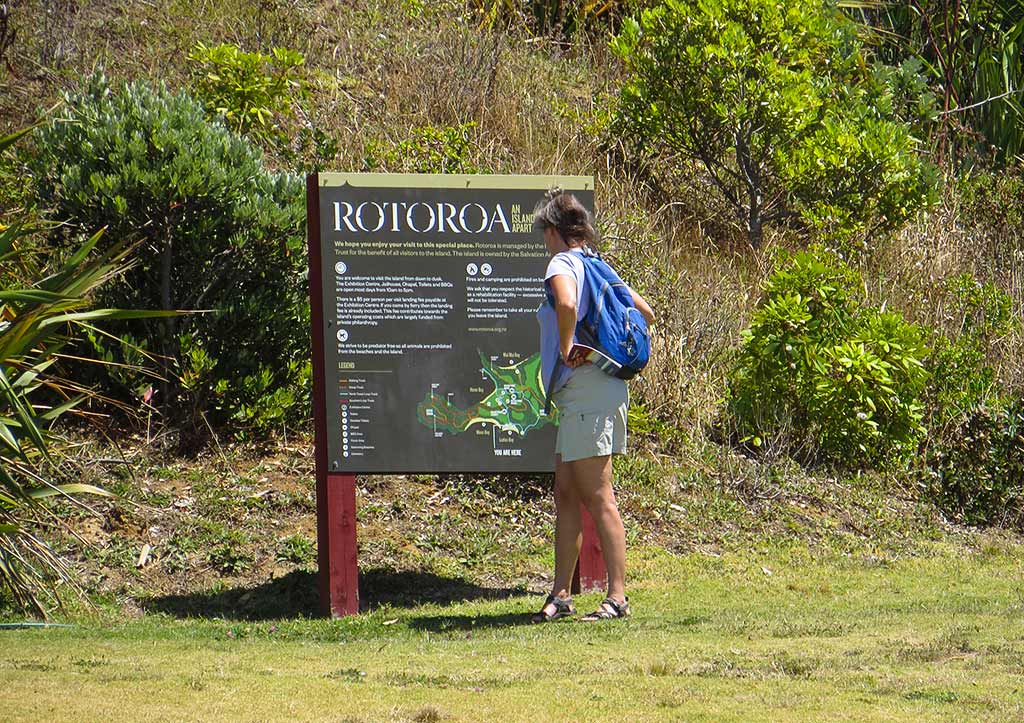
We went to study the trail map and had several to choose from; but it was an easy decision to choose the ones with the prettiest beaches and views. And so we set out on the North Tower Loop Track, tacking on the Mai Mai Bay and Mai Mai Bay Lookout tracks (about an hour and 15 minutes in all). –Cyndi

McMaster for Boat Parts?

August 30, 2020

I was going to write a letter to McMaster-Carr to thank them for their excellent service and amazing selection of parts. Then I thought, maybe a blog post would mean more to them. They’re not exactly a boat parts store, but over the years, Legacy has had many pounds of McMaster products added to her heft.

(Yeah, this is going to be a US-centric post as that’s where McMaster is located. So yeah, I thought I’d use pounds instead of kilograms!)

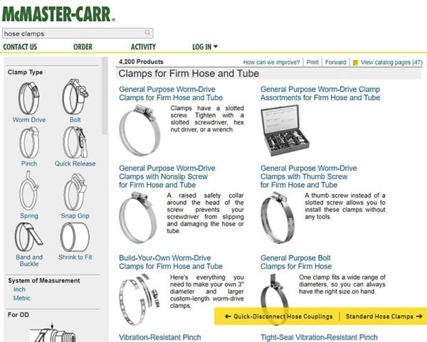
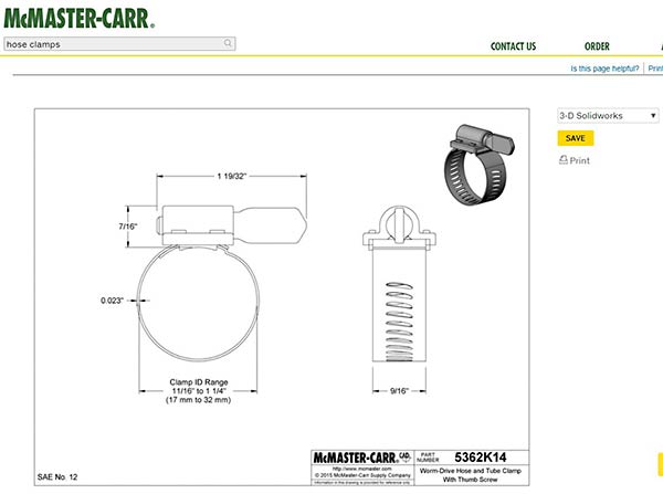
In the US, West Marine has grown so large that there was little room for the independent marine store and almost all of them have disappeared. I don’t really have anything against West Marine other than the fact that the diversity of marine products available in the US is not what it used to be. McMaster-Carr is a source for some very diverse products. As an example, below is an example of just one of many pages of hose clamps – 4200 different stainless clamps!

And here is a small sampling of stainless sheet metal screws. One page out of 1074 products, each in a multitude of sizes.

I’m always surprised at the variety of parts they carry: electrical, plumbing, paints and glues, plastic parts, too many to list. Their service is excellent and when I was ordering parts from them, they’d often ship the same day I placed my order. McMaster’s prices are also MUCH BETTER than similar items at West Marine.

The reason I’m going on about them now is that I’m so grateful for the 3D models available on their website – I think there are models for most of the available products. There is also a ton of detail about the various parts. While I haven’t been ordering from them while cruising, it’s nice to know that I could, and the models have been invaluable in the parts I’ve been 3D printing.

So, thank you McMaster! Check out their selection for yourselves. -Rich

Reverse Sensors

August 26, 2020

Now that we’re hunkered down in Auckland for a while, I needed something to do to keep me away from cheap alcohol and even cheaper women (Cyndi’s fine with the first but the latter seems to bother her!). Our neighbors on D’Urville provided the solution. Their stabilizers hadn’t worked in some time and they needed a new control system. That’s just the kind of project I needed! More on the stabilizer control later.

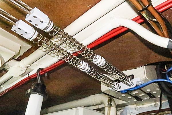
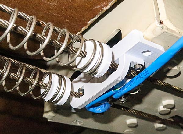
As I got closer to getting the control system done, we started to think that it would be great if the fins centered themselves when the gearbox was shifted into reverse. If the stabilizer fins move while the boat is going backwards, all kinds of unpredictable things can happen (somewhat like trying to back Legacy). Previously, they had to manually turn a switch on the control box to center. Well, who can be bothered to remember stuff like that?! Here’s my solution below.

When the shift lever is moved into reverse, the cable is pulled and the spring pushes against a micro switch. That tells the control system to center the fins.

But where does one get parts like these? Print them, naturally (well, not the springs, but the plastic bits and pieces). Legacy’s 3D printer to the rescue. I just don’t know how I functioned without a 3D printer aboard. -Rich