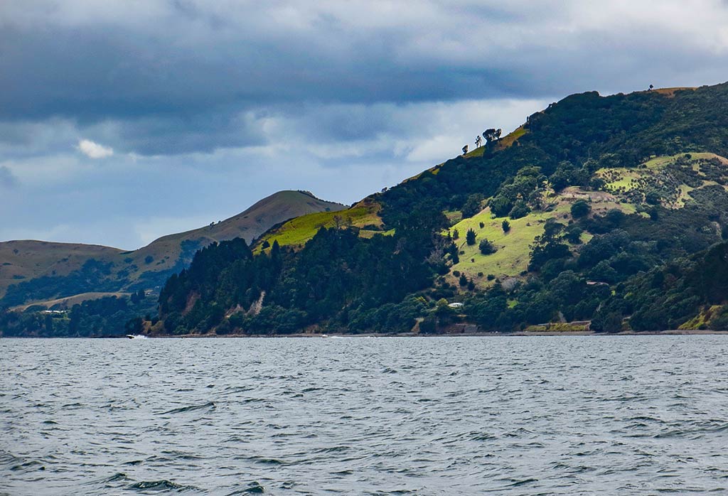
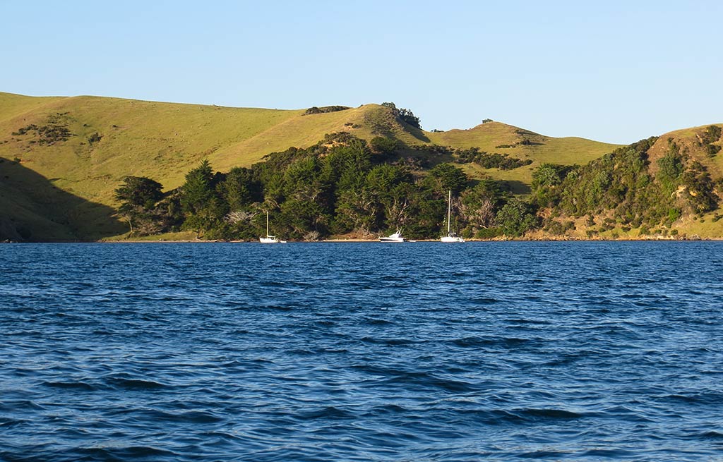
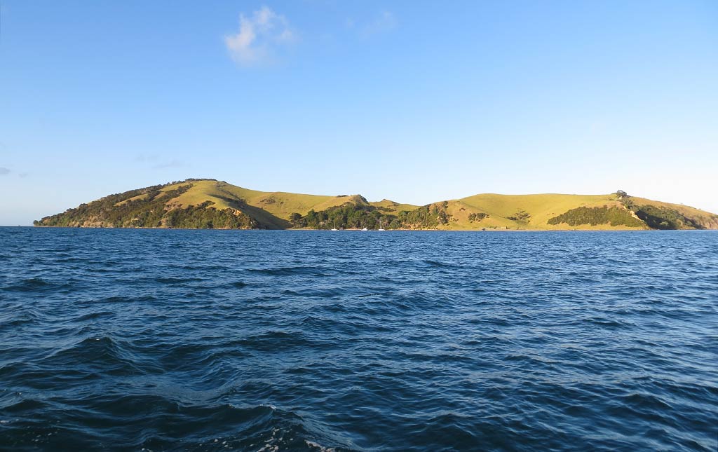
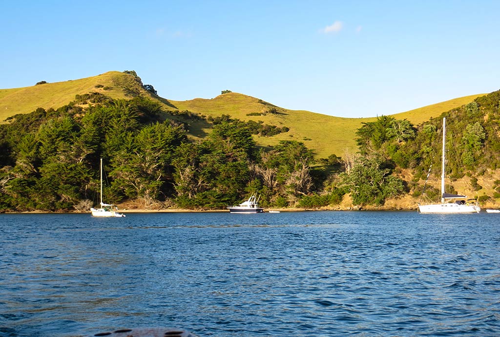
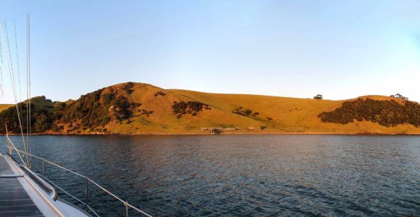
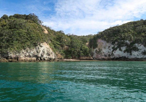
A Beach Walk at Coralie Bay (Great Mercury Island, New Zealand)

February 15, 2014

Around 4pm, when the sun was less strong, Rich suggested we go ashore. I was feeling pretty fatigued after the long trip over here and not very enthusiastic about the idea. Usually I’m pretty good at getting myself out and about even when I’m tired, but there are times when we’ve anchored and the beach is so clearly visible that it’s tempting to think, “Well there it is; we can see it from here. Do we really need to put in all the effort to get ourselves over there?” Usually one of us decides that, “Yea, we should do it; get your lazy ass up and let’s go.”

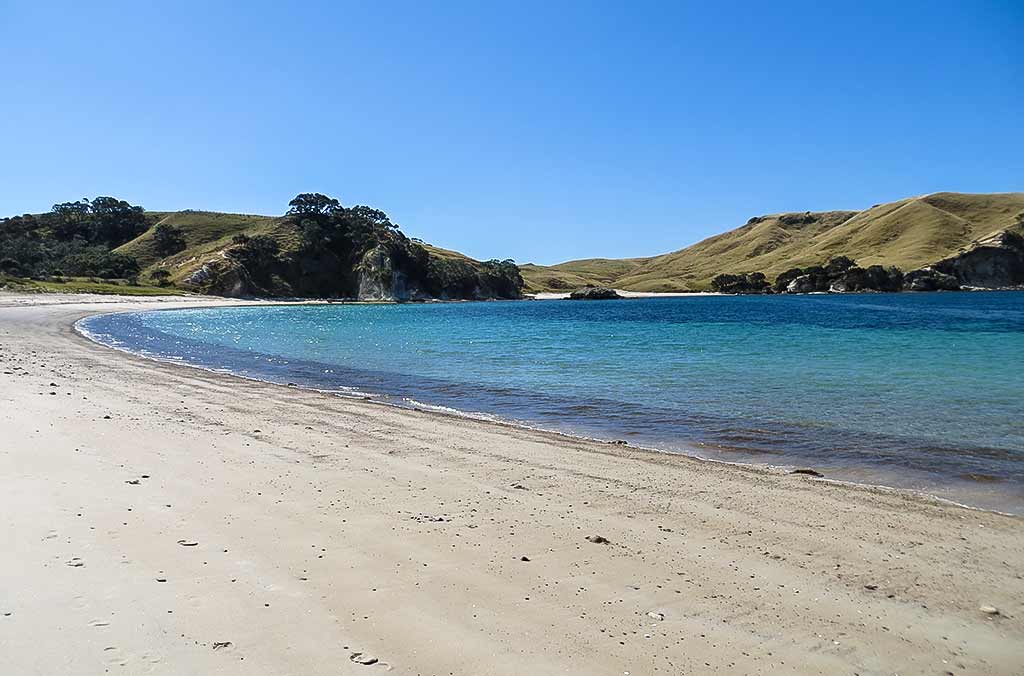
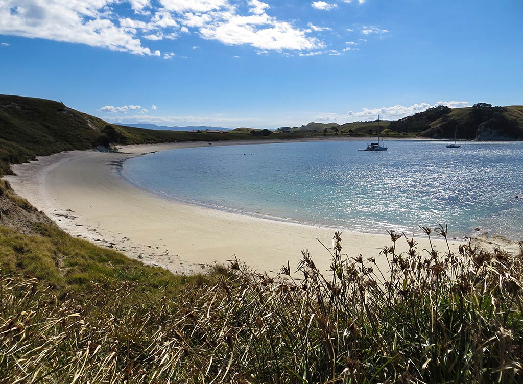
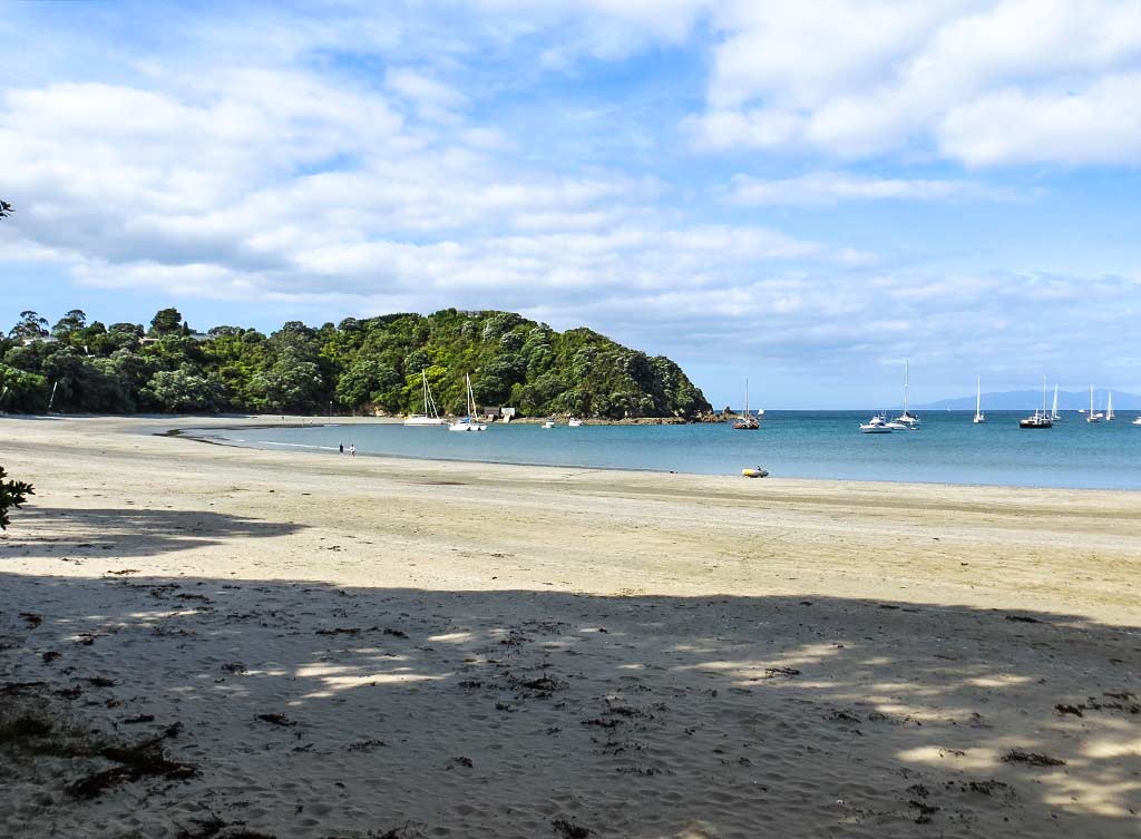
Invariably, once we get ashore, we’re glad we made the effort. I’ve found that I never really know a beach until I physically stand on it. Beaches can be a surprise in so many ways, the most frequent being that it’s more beautiful up close than from afar. Often it’s that the sand is smooth and soft, with clear water that takes on shades of aqua, emerald, or turquoise near the shoreline. But even if the beach is rubbly, it could be covered with beautiful shells or interesting rocks.

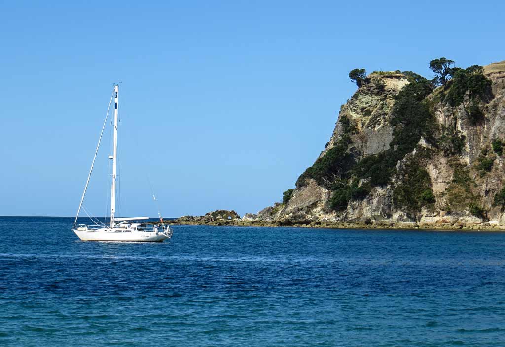
And then there’s the view–what might appear to be a nice-but-average beach from the boat could feature a postcard worthy view, framed by  exotic rock formations or overhanging trees, of a sea dotted with islands and our boat peacefully at anchor.

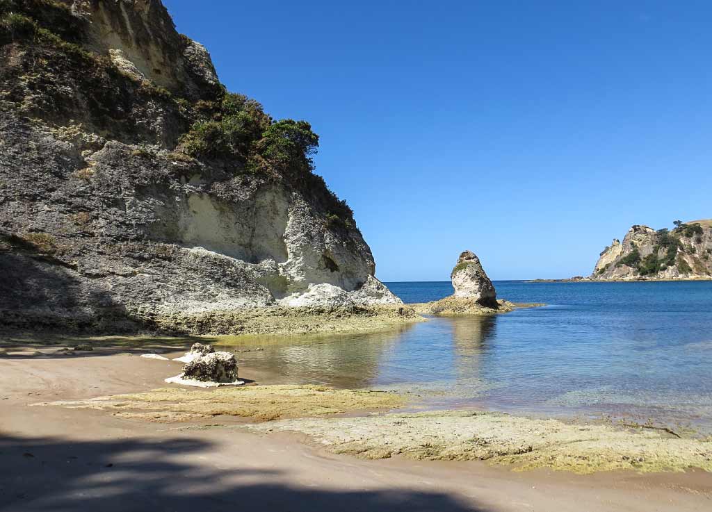
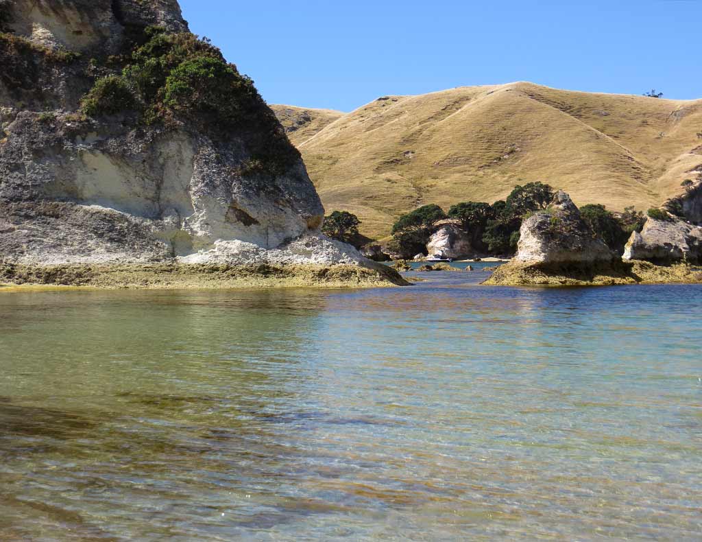
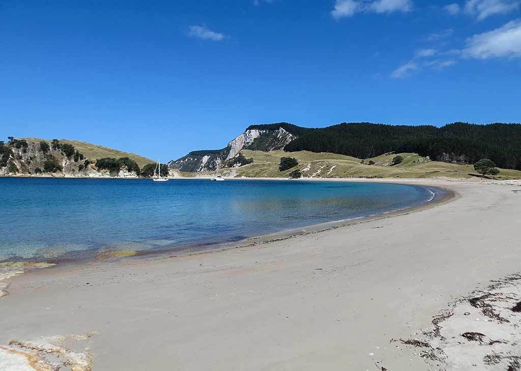
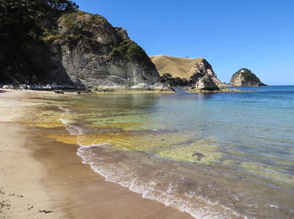
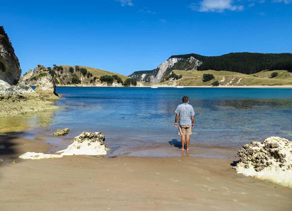
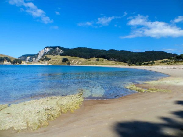
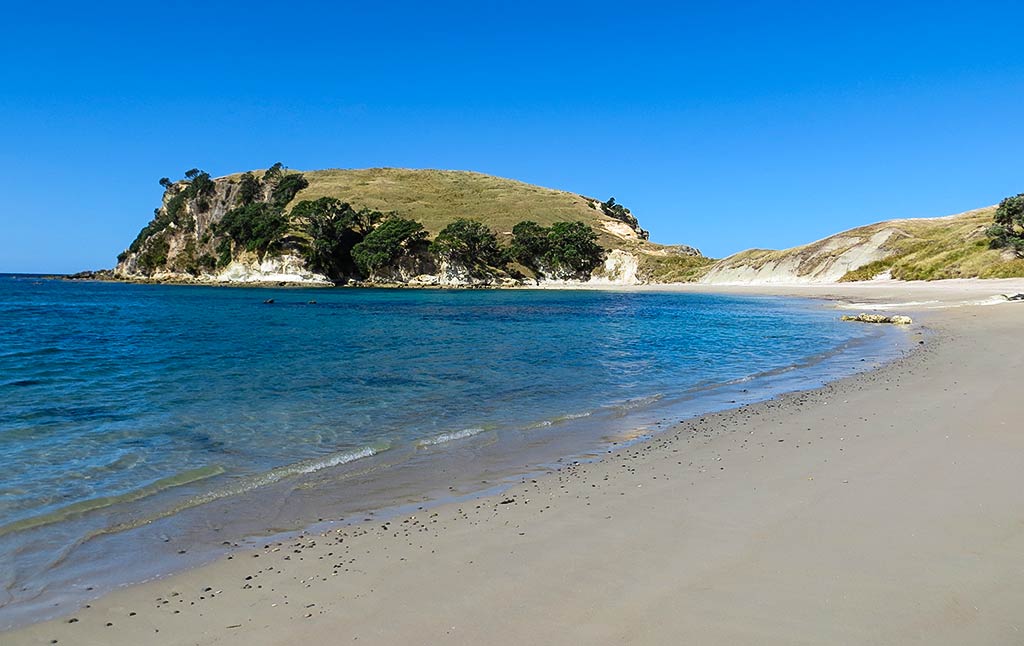
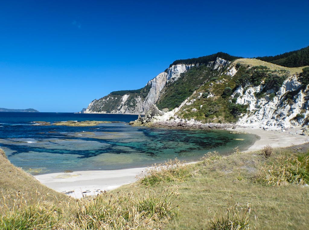
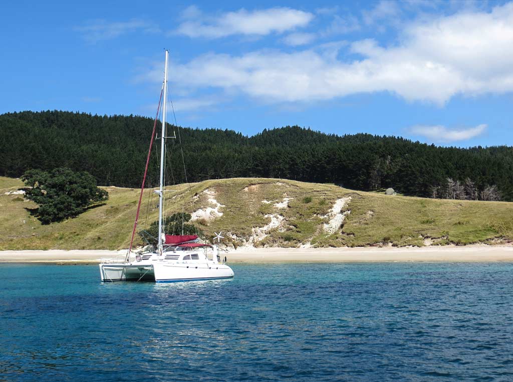
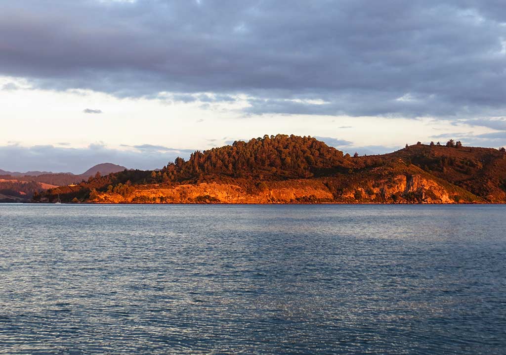
In this case, while we did find some interesting headland rocks, it was the unusual color scheme of this area that was striking. The white areas seemed brighter and more prolific here, and there were some very unusual colors in the water at the north end of the beach—streaks of orange, rust and space-alien green caused by some sort of chemical reaction with the water and limestone. Overall this beach had a quality I’d call other worldly.

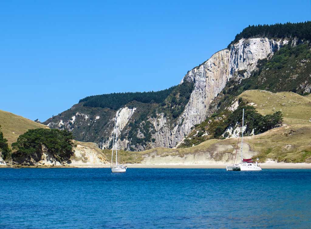
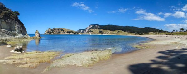
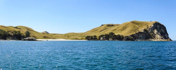
Capping off this unusual scene, rising tall in the background, was Mohi Mountain, a giant half dome with white cliffs probably hundreds of feet high. If Star Trek wanted to film an episode in New Zealand, this is where they should have come. All they’d need was Captain Kirk, an “unknown ensign” to be the first victim, plus a stuntman in a monster suit, and they’d be set for another exciting episode! Below, a panorama from the north end of the beach…

Plus a photo gallery from our walk. (Click to enlarge any photo.)

And a panorama…

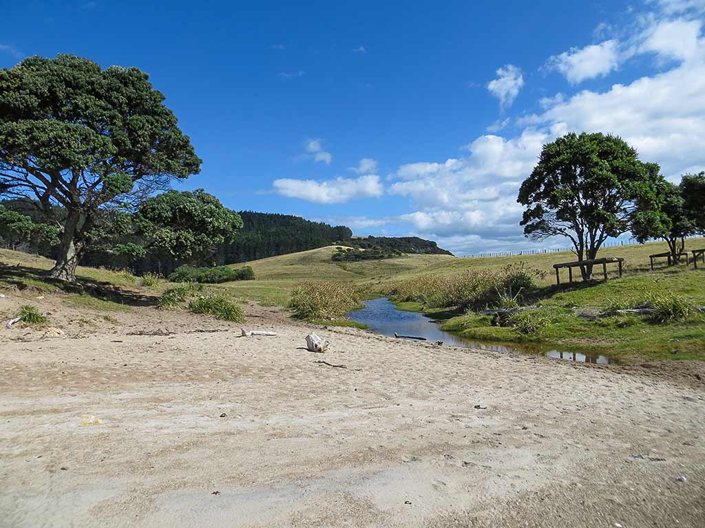
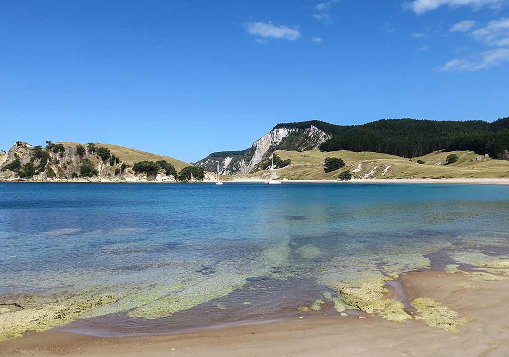
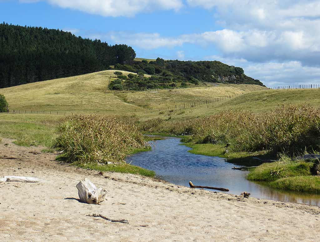
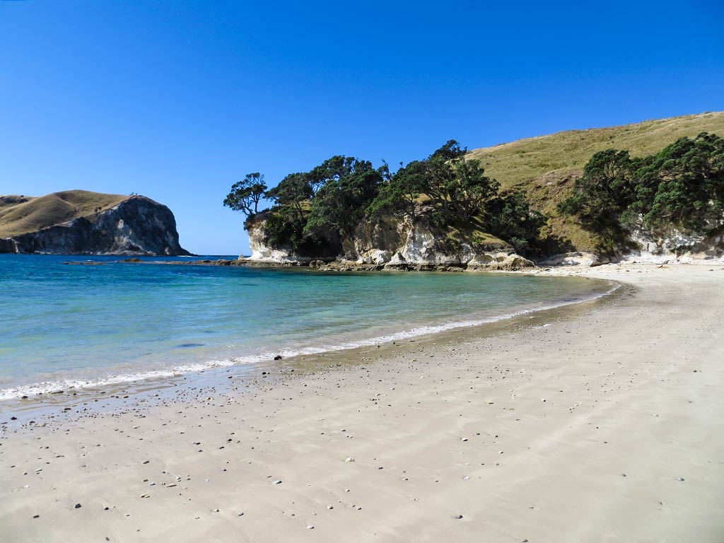
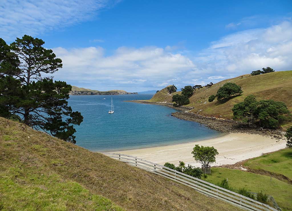
After walking to the north end of the beach, we turned around and went to the south end. Here, we found we could walk over a grassy slope to another bay. Stopping at the top to look back gave us a beautiful view of Coralie’s beach behind us. Walking just a bit further we got a view of this new, unnamed bay. Coralie’s unusual colors had been striking, but this was even more so with a bright white beach, white cliffs, and turquoise and green water.

By this time we were getting some early evening clouds passing overhead, making it difficult to get a photo in full sun. I had to linger awhile to get my shot , then headed back to join Rich on Coralie beach and walk to our dinghy. Below, photos of our approach to the grassy slope, turning back to look at Coralie Bay, and in the final photo, the unnamed bay.

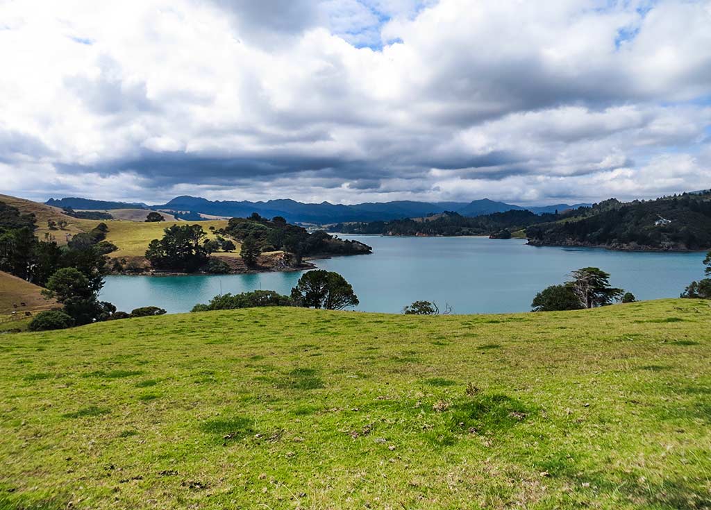
Plus a panorama shot of the unnamed bay from the slope:

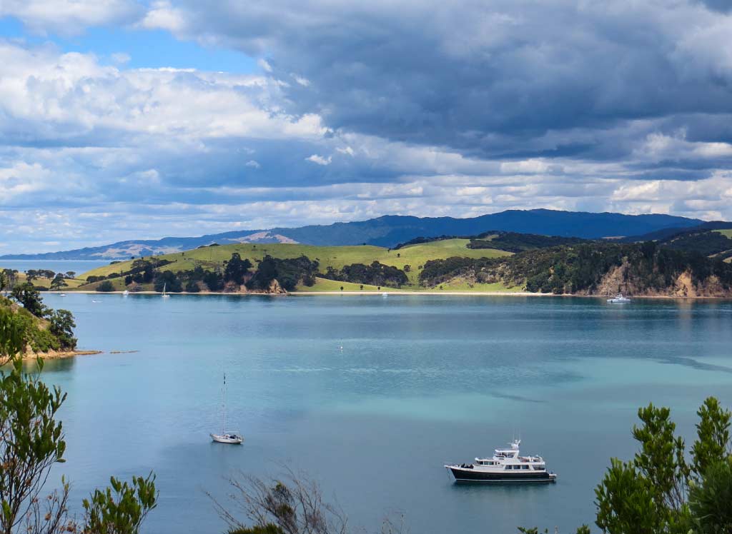
It can go without saying that we were really glad we came to check out the surreal beauty of this beach. A change of wind direction was forecast; so we’d be heading to the other side of the island in the morning and saying good-bye to Coralie Bay. Below, a final panorama.–Cyndi

Great Mercury Island’s Coralie Bay (North Island, New Zealand)

February 15, 2014

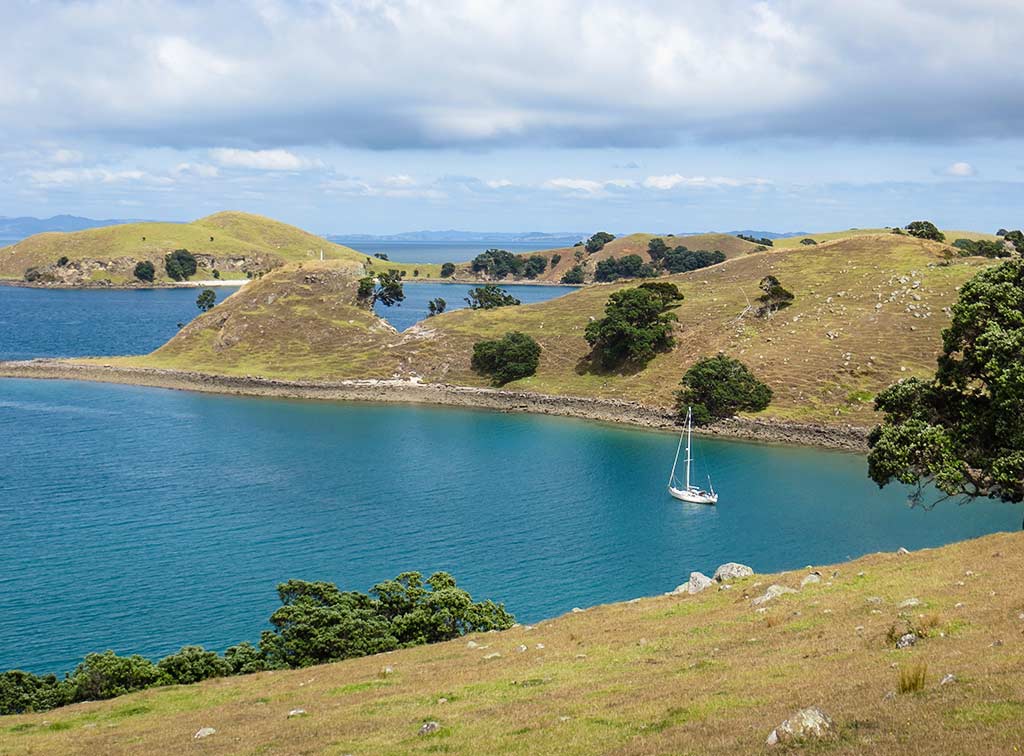
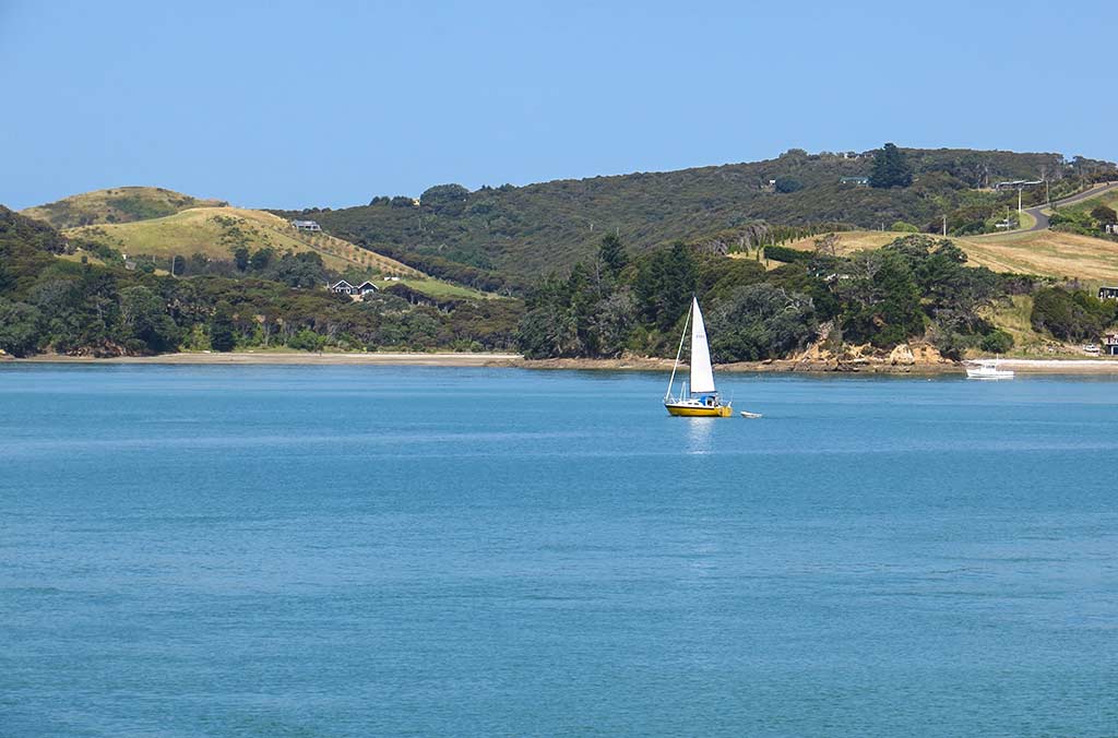
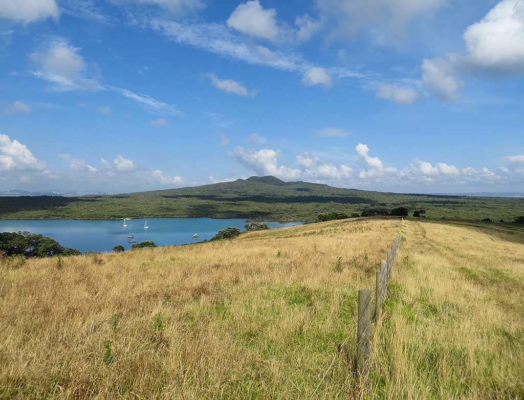
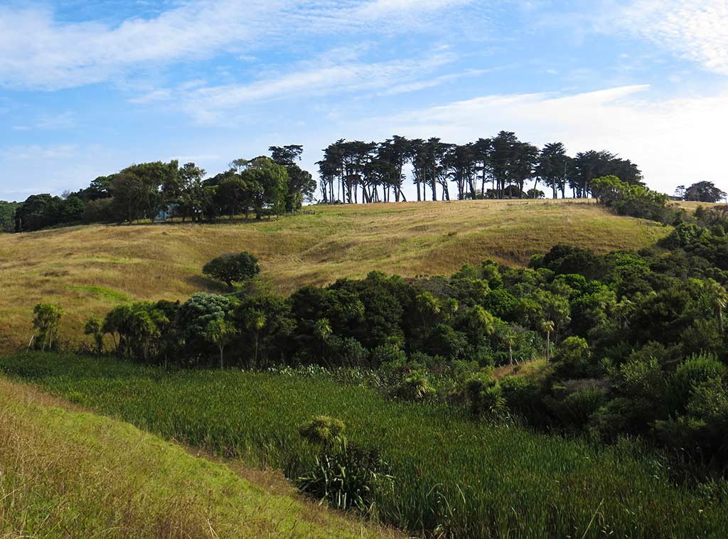
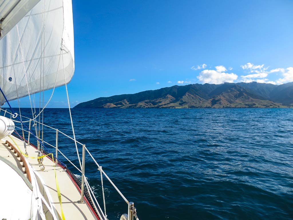
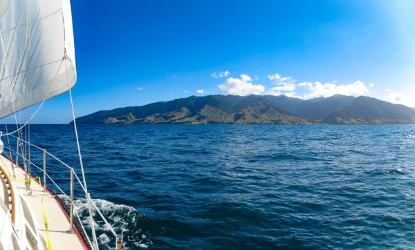
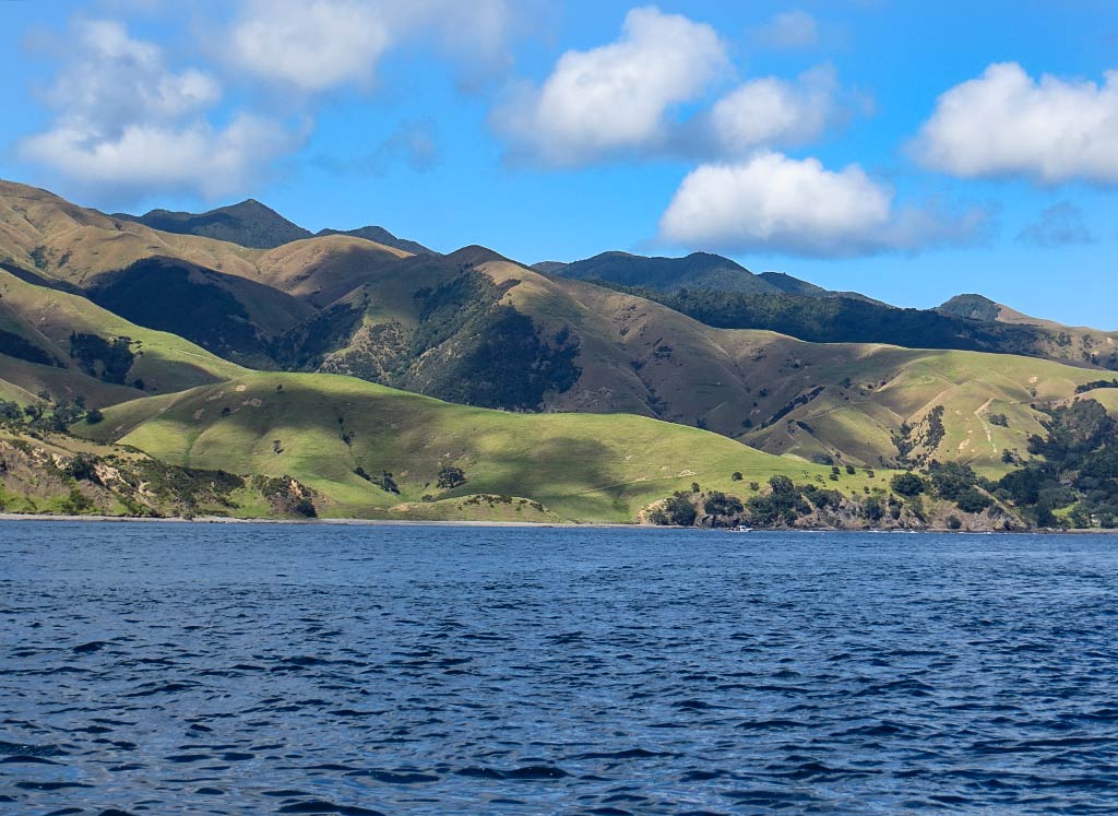
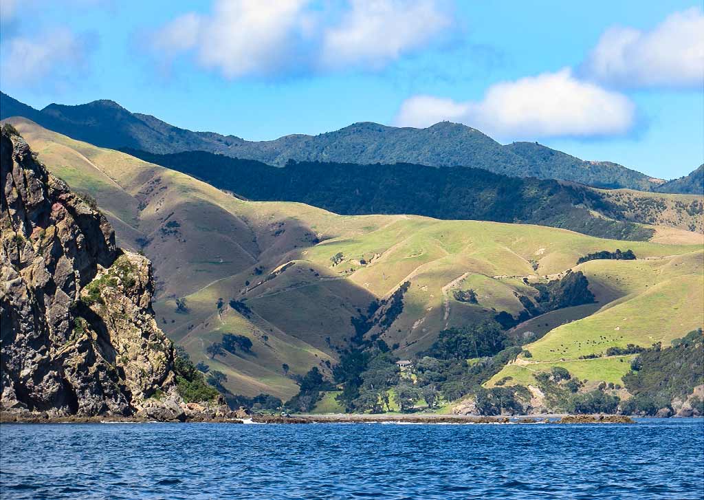
We were now headed down the east side of the Coromandel towards the Mercury Islands, a small group of islands that lie about 5 miles off the coast of the Coromandel Peninsula. The main attraction here is the largest island, Great Mercury. It’s a beautiful hilly island, much of it grassy pasture but with patches of pine forest. It also happens to have some of New Zealand’s best beaches. There aren’t much in the way of cruise-worthy islands in this area of New Zealand, but Great Mercury is special enough that yachties willingly travel out of their way to visit this place.

We’d visited two anchorages at Great Mercury the previous year, Parapara Bay and Peachgrove Bay, and thought they were both very special and beautiful. Today we had light winds with a forecast for a westerly direction during the night, perfect conditions for visiting a bay on the island’s east side: Coralie Bay.


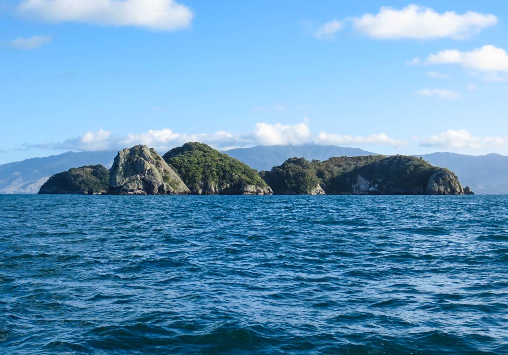
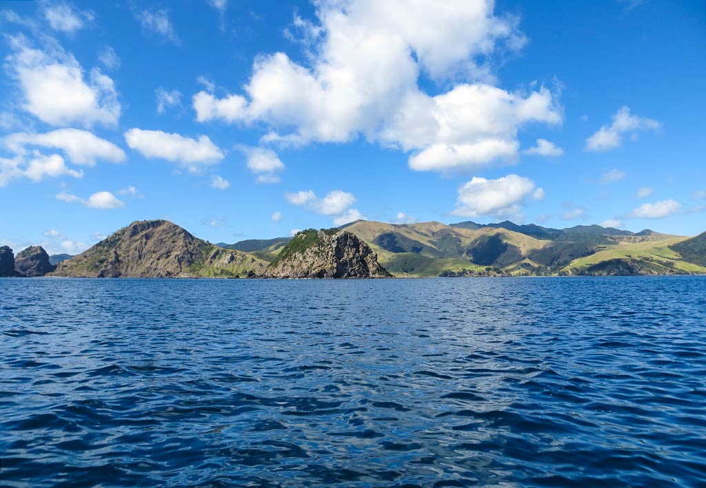
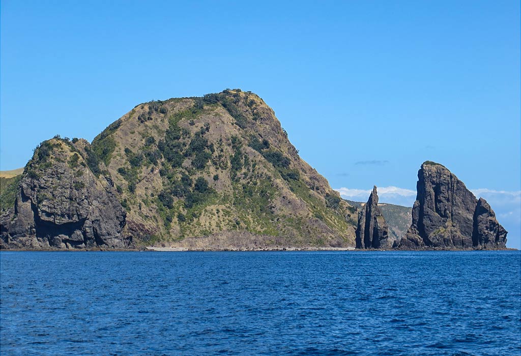
This side of Great Mercury is the more rugged side, subject to the conditions of the open ocean. But Coralie Bay is surrounded by rock islands and submerged rocks. These create a natural breakwater to take the brunt of the sea conditions, leaving the bay itself calm and protected in reasonable conditions.

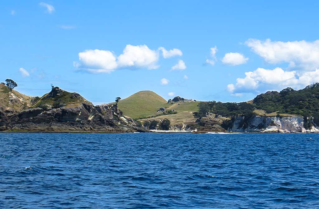
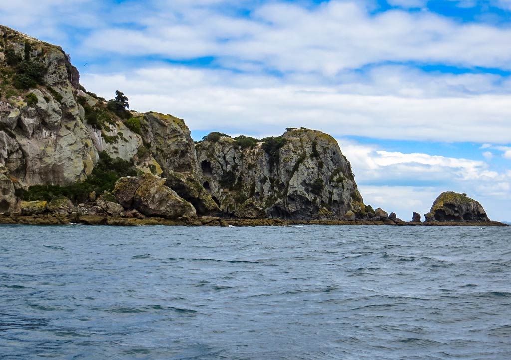
We arrived and found ourselves amid swells crashing off the rocks and shoreline. This would be very intimidating if one didn’t have a chart! Thankfully we did and carefully made our way through what felt like a pass between all the rocks. Some were visible above the surface; it was the ones we could barely see below the surface that were the most worrisome. Often the only sign of their presence was the breaking water they created. Below, photos of our approach to the bay (click to enlarge any photo).

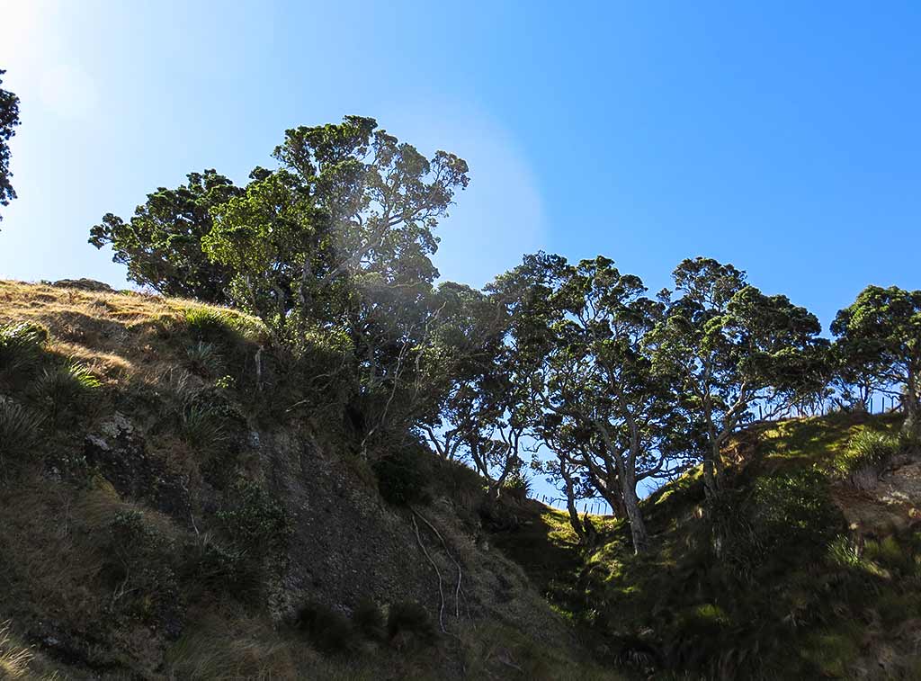
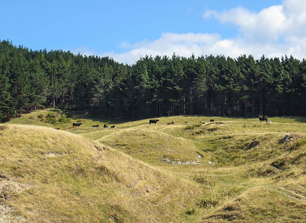
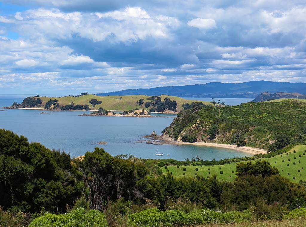
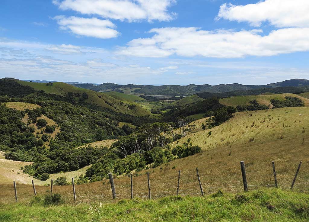
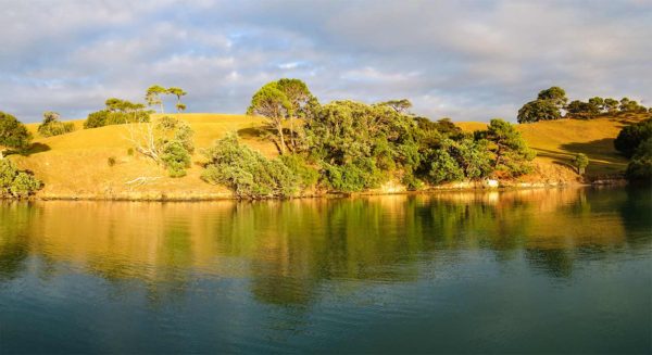
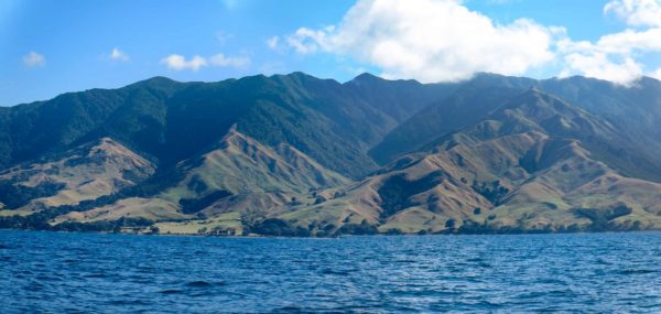
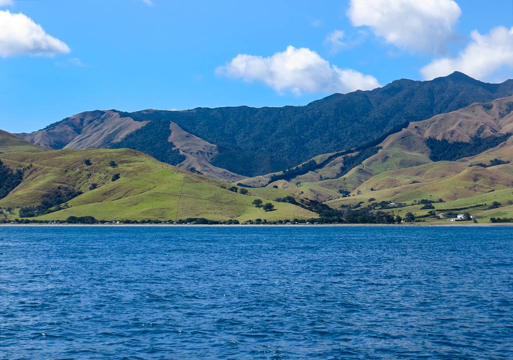
Once through, we found ourselves in a big, calm bay. Right off, we could see this place was unusual looking. For one, the bay was strikingly attractive, seeming perfectly rounded and rimmed by a long white beach. Grassy hills, wandering cows, and craggy cliffs with overhanging pohutukawa trees added to the classic “ideal New Zealand bay” attributes. What was unusual was all the white! The banks, soil, beach, and the towering white cliffs of Mohi Mountain just south of us were all shades of chalky white. It seems much of this island’s east side is made up of limestone. Below, some photos…

And a panorama that shows a small north bight in Coralie Bay…

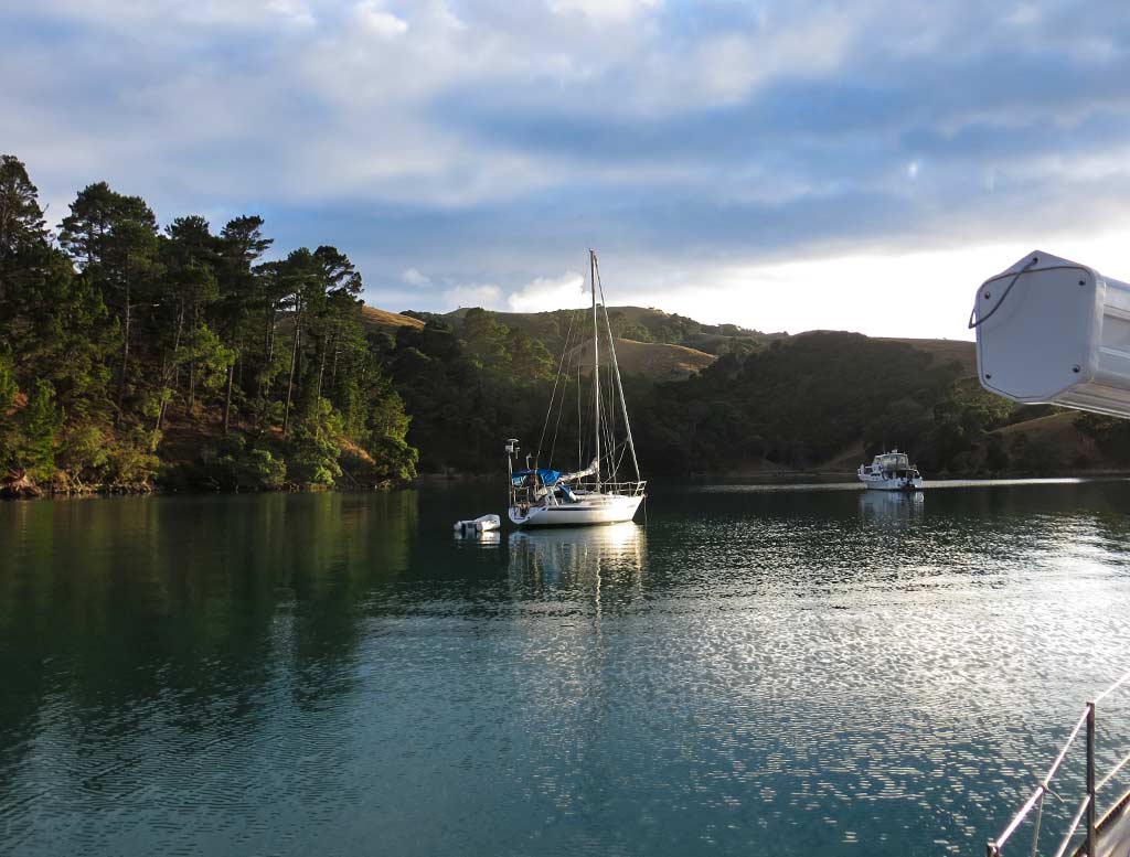
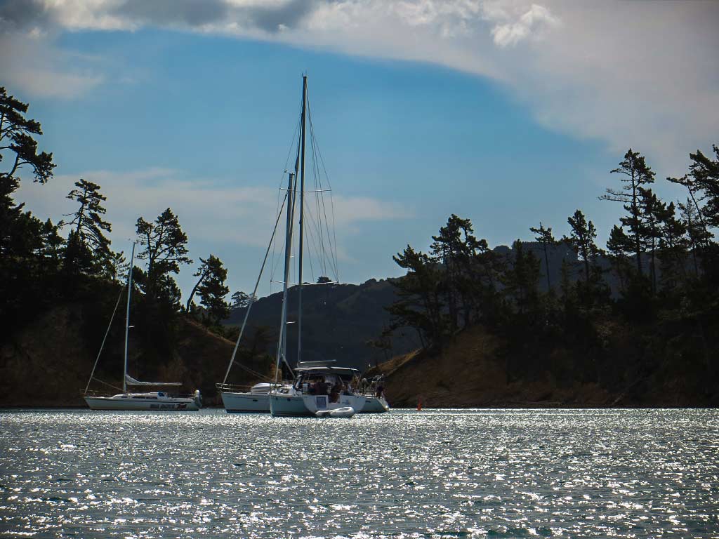
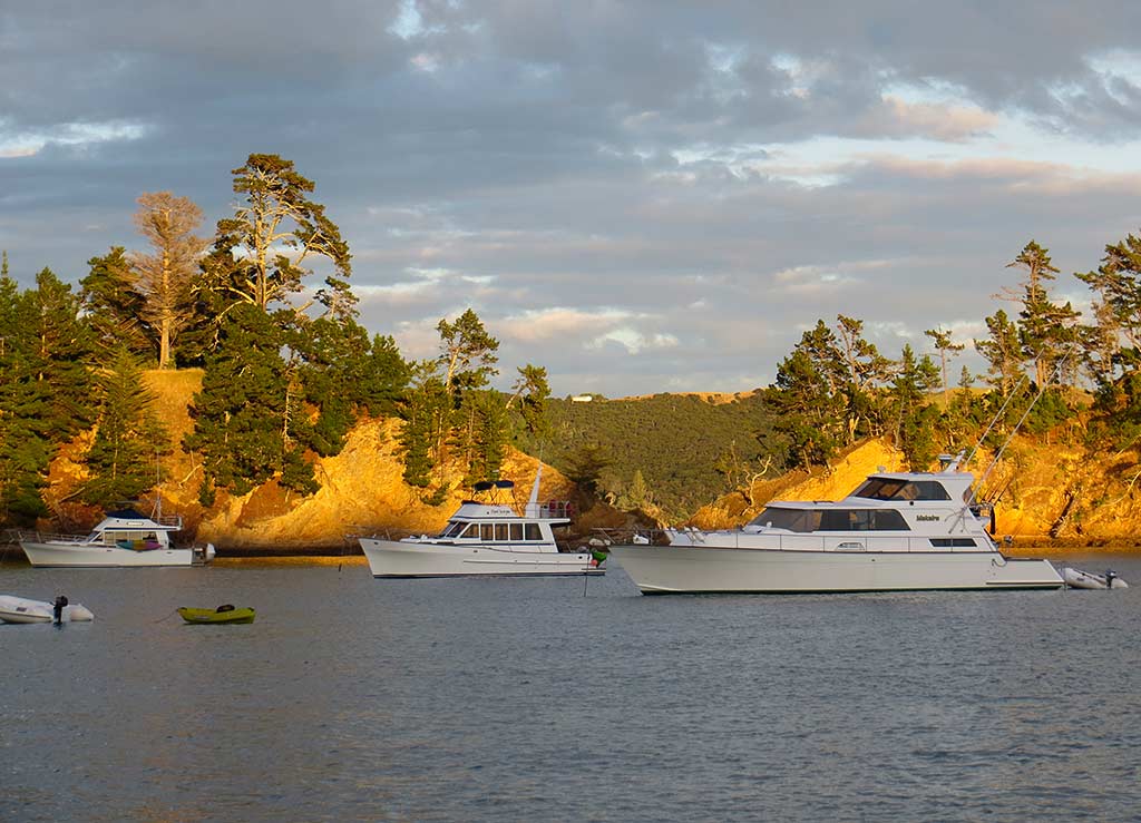
We weren’t alone in the bay, but there was plenty of room to anchor. Once set, I took some photos before going below to make lunch. We were both tired from the trip and needed to take a rest for awhile. When the sun got lower, we planned to go ashore and do some exploring. –Cyndi

Good-Bye Hauraki Gulf (North Island, New Zealand)

February 15, 2014

On saying good-bye to the Hauraki Gulf for the season, it’s once again time for a round-up gallery featuring those photos that didn’t make the final cut for the blog; yet I liked too much to discard.

These aren’t exactly Rich’s favorite posts in that they contain more photos than usual, and he does the majority of the photo editing work. But when all’s said and done, these tend to end up among our favorite photo galleries.

I think this gallery nicely sums up the feeling of the south Haruaki Gulf islands. The beauty of this area is really second to none, and the feeling is warm, sunny and calm. Rich always tells people if you only have time to cruise one area, make it the Haruaki Gulf. I’d say make it a priority to do both the Bay of Islands (as most boats check into that area anyway) and the Haruaki Gulf, and if at all possible try to fit in Whangaroa.

I know many cruisers would protest they also need to save time for driving around New Zealand and barely have time to cruise the Bay of Islands. I get that, but if possible, try to do more than one season in New Zealand, and consider forgoing that annual trip back to the home country (that so many cruisers do) and focus more on seeing New Zealand while you have a chance. It’s among the most beautiful places on earth, and isn’t that what we’re here to experience?

For the land travelers, don’t feel left out in that most islands in the Haruaki Gulf (and the Bay of Islands) are accessible by ferry, and you can hike or drive around and see most of the stuff shown in our photos. It’s just a matter if deciding where to focus your time.

If we were to recommend Haruaki Gulf islands to visiting friends, we’d say definitely spend at least a day on Waiheke Island, preferably with a rental car. And Rotoroa Island, aside from having much natural beauty and being a bird sanctuary (not shown in our photos as most birds arrived since we visited), probably has the best vistas for photos of the Hauraki Gulf. If there’s time, Rangitoto has that bush walk up the volcano cone which is pretty cool, and the forest near the top is tropical and jungle-like. (We did love ferry-accessible Rakino and Motuihe, too, but we wouldn’t put them at the top of the list. And I should mention here our favorites in the north Haruaki Gulf: Kawau Island and Tiritiri Matangi.)

Below, our photo gallery roundup of the south Hauraki Gulf Islands. Click to enlarge any photo.

Plus two panorama shots…

–Cyndi


Heading to the Coromandel Peninsula’s East Side (New Zealand)

February 15, 2014

Today was a big day in that we were making the jump to the other side of the Coromandel Peninsula. This is a trip that’s best done in calm weather, making sure to time it so the boat is going with the current when going through what’s known as the Colville Channel. This channel between Great Barrier island and the top of the Coromandel Peninsula (known as Cape Colville) is miles wide, but a fair amount of water moves through here and it can get pretty nasty if the current is going against the wind.


We took off around 7:30am, and what a difference from yesterday! In today’s warm, pleasant weather, Waimate Island seemed so much prettier, and the string of islands going north looked more attractive and interesting. The sun was so strong today I actually put a hat on for awhile. Below, a photo gallery from the trip (click to enlarge any photo)…

And a couple of panoramas of the Coromandel Peninsula as we headed north…

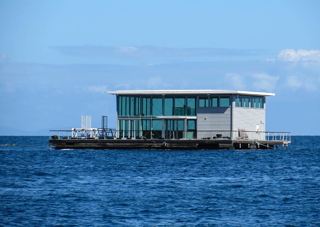
It was nice to get to the top of the peninsula and have calm conditions and a good current with us. This area can be difficult, but today it was in a friendly mood. I found my own mood lifting as we got over the top of the Coromandel and started down the other side. Below, a gallery of photos from the top of the peninsula, including the odd sight of someone’s new office building being towed by a tugboat.

I will say there there’s an odd phenomenon that goes on with the Coromandel Peninsula. Since the east side is more exposed to open ocean conditions, it should follow that it should be the wilder, more rugged coast. But it isn’t. In contrast with the west side’s remote, alternative lifestyle feeling, the east side has beachy tourist towns and vacation homes of the city dwellers (mostly on the lower half of the peninsula.–the head of it is still quite remote). There’s a reason more people come here: it just feels sunnier, calmer, and more relaxed. The calm water offshore beckons people to swim, kayak, stroll the lovely beaches, and fish to their hearts’ content. Great Mercury Island, about 20 miles south from the tip of the peninsula, is particularly lovely and just a few miles from Whitianga, the Coromandel’s biggest town with a sizeable marina. In all, I’d say there’s simply a very different energy on the east side, both on and offshore.

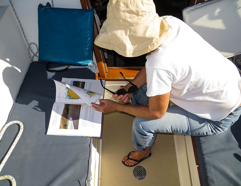
Our next destination was, in fact, Great Mercury Island. It’s a place we’d visited the previous year, but today we’d be going to a new anchorage there. As we motored along, the current stayed with us. I studied my David Thatcher Guidebook for details on how to get into the anchorage and felt excited about going there. After a couple of rough days, it felt nice to have one like this.–Cyndi

Waimate to Happy Jack Island and Back (Coromandel Peninsula, New Zealand

February 14, 2014

Today’s forecast was for cloudy skies and 10 to 16-knot westerly winds. Normally when traveling north, we’d be heading to an anchorage on the Coromandel Peninsula called Coville Bay, the final anchorage before making the big jump over the top of the peninsula. But Coville is open to the west and wasn’t doable in today’s winds. With the current conditions, it looked like we might be spending the day here at Waimate Island.

As the morning went on, it was becoming clear that we both felt ready to move on from the Hauraki Gulf. We’ve learned that, in cruising, decisions cannot be forced before their time. For this reason, it’s impossible to make the sort of big, detailed plans like the ones necessary for a grand tour or road trip. Aside from the obvious weather factor, there’s an emotional factor. It’s impossible to predict how we’re going to feel at a given point until we’ve actually spent some time there.
Back in Auckland, we’d considered spending more time in the Hauraki Gulf than we had so far, and we could certainly still do that. But today we were feeling distinctly done with it for the season. Nor did we feel like returning again to Great Barrier Island (a gorgeous island north of the Coromandel full of mountains, hiking trails and anchorages). What we both wanted now was to get to the other side of the Coromandel Peninsula and start making our way towards Tauranga, back to  city life. The weather looked good tomorrow for the trip over the top of the Coromandel, and we decided to take advantage of it.

Meanwhile there was one more spot, about 6 miles north, that we’d considered visiting. There’s a small group of islets, the biggest of which is officially called Motukahaua but nicknamed Happy Jack. Happy Jack has a south-facing anchorage called Elephant Cove. It requires either settled weather or northerlies to visit and with its small size, it’s a bit of a gamble to go out there. If we found the anchorage full (and with boats fishing in the area that was a good possibility), we’d have to head elsewhere. Below, a map…


The smart thing would have been to stay put where we were, but Rich was feeling restless, or as he called it, “barn sour.” And I really wanted to see Elephant Cove. So when the sun came out and the wind died down, we decided to head up and check out Happy Jack, reasoning it was only 6 miles away and if conditions weren’t good, we could come back to this area, hopefully anchoring off one of the small islands north of us.

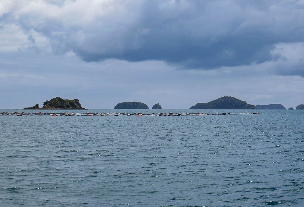
So we pulled anchor and motored in the lee of the islands north of us: Goat, Three Kings, and Rabbit. It was fine, but when we got out into the open north of Rabbit Island, we found swells and the wind up at 15 knots, gusting to 20. Naturally it was a rough, wet, and long trip as the sloppy seas slowed us down. It may have been only 6 miles, but it was a long 6 miles! The last mile, slogging into the wind and swells, was particularly bad.

We were encouraged when Elephant Cove came into view–it looked nice and no one was there. Our optimism lasted until we entered and discovered the reason it was empty: the wind and seas were wrapping around the island in such a way that wind and chop were coming right in here! Suddenly we found ourselves in a rather urgent situation as we were in a tight little bay with rocks, our dinghy trailing behind us, in bad conditions. We needed to get out immediately and to do so we needed to get turned around while watching the depths constantly and getting our dinghy alongside the boat. It was a really stressful situation!

Once out of danger, we faced one of cruising’s most annoying challenges—the psychological trauma of having to turn around and go back after a long trip. Yes, we knew this could happen, but at that point we’d been envisioning a pleasant trip. But it wasn’t pleasant, the anticipated anchorage was cold and menacing, and now we had to go back out into rather nasty conditions. On top of that it felt like an achievement to get a few miles north today, and now we’d be giving up those hard-won miles and adding a good hour to our trip tomorrow. Needless to say, we weren’t very happy.

Heading north we’d noticed that Rabbit Island might have a spot to anchor, but coming back we found a boat in its one tiny, calm anchorage. With no room for us, we headed on. There was no suitable anchorage at Goat Island; so we ended up heading back towards to Waimate. One worry was that we’d noticed boats coming in there as we were leaving. If there wasn’t room at that anchorage, we’d have to head even further south!

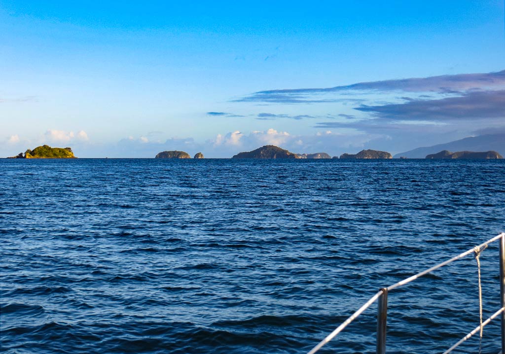
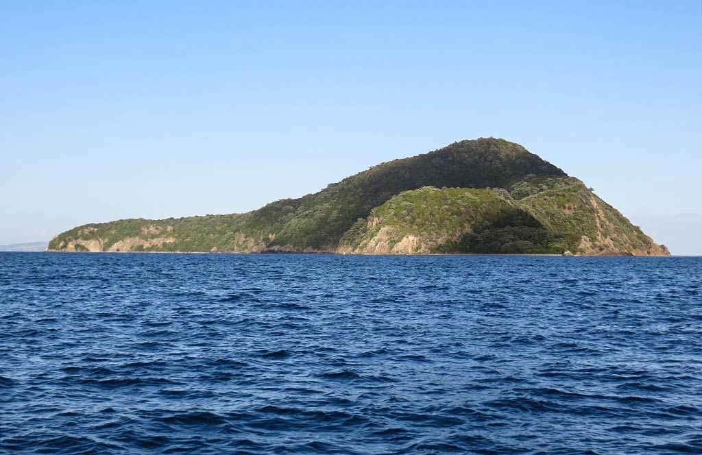
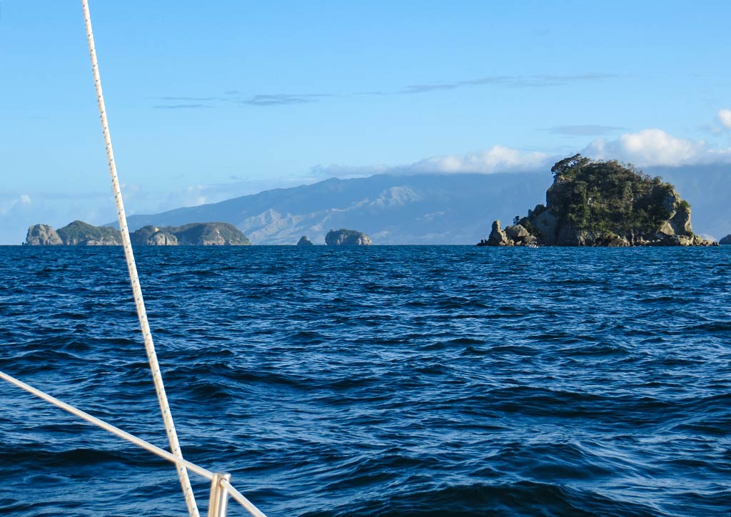
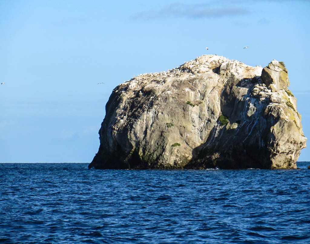
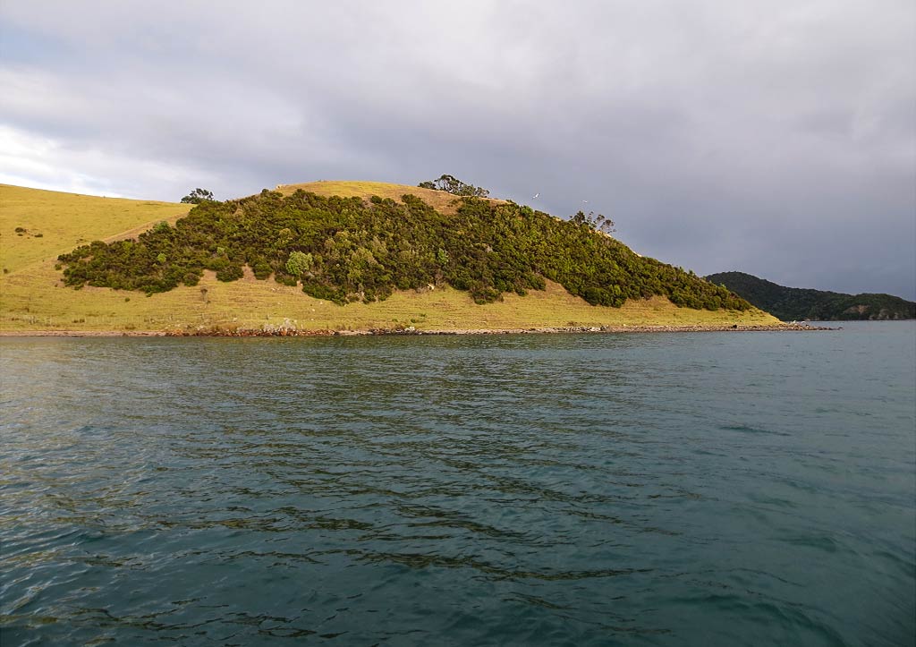
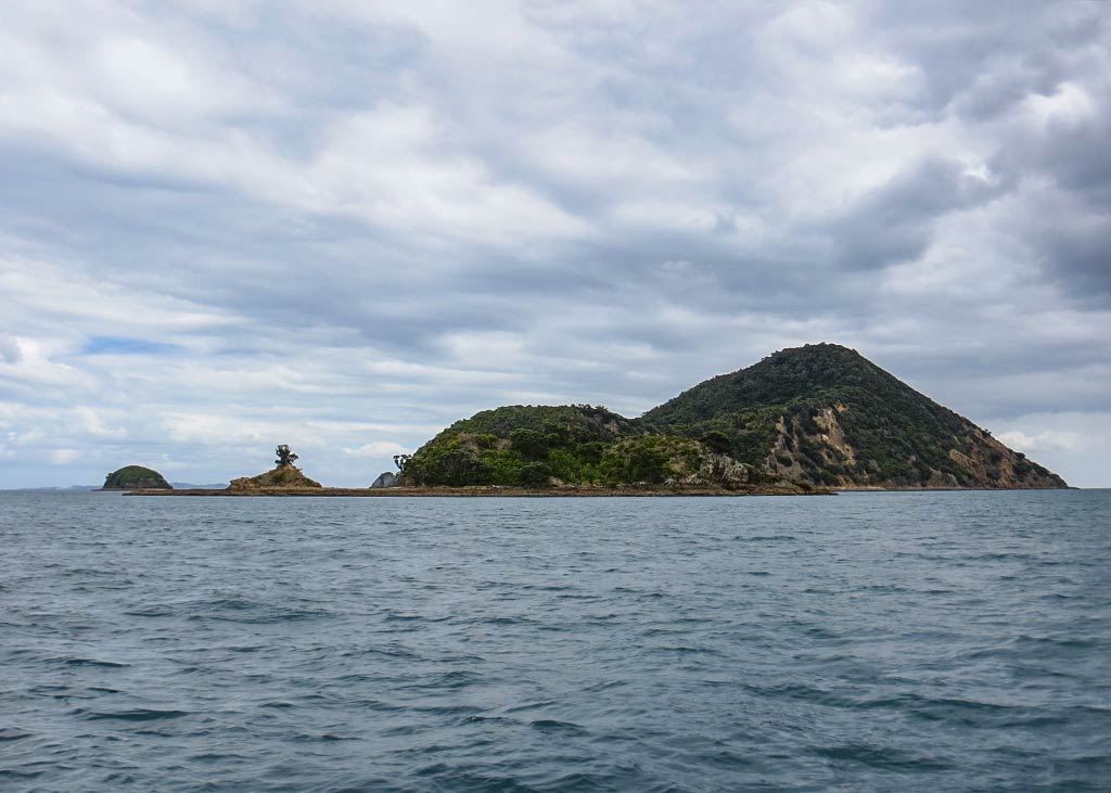
Below, some photos from the day, starting with a morning shot of Waimate from our anchorage spot. As for the rest of the gallery, the weather was so cloudy and crappy that I barely had any usable photos. Frankly I don’t know exactly where these places were, but they kind of sum up the trip. (Click on any photo to enlarge, not that there’s much to see.)

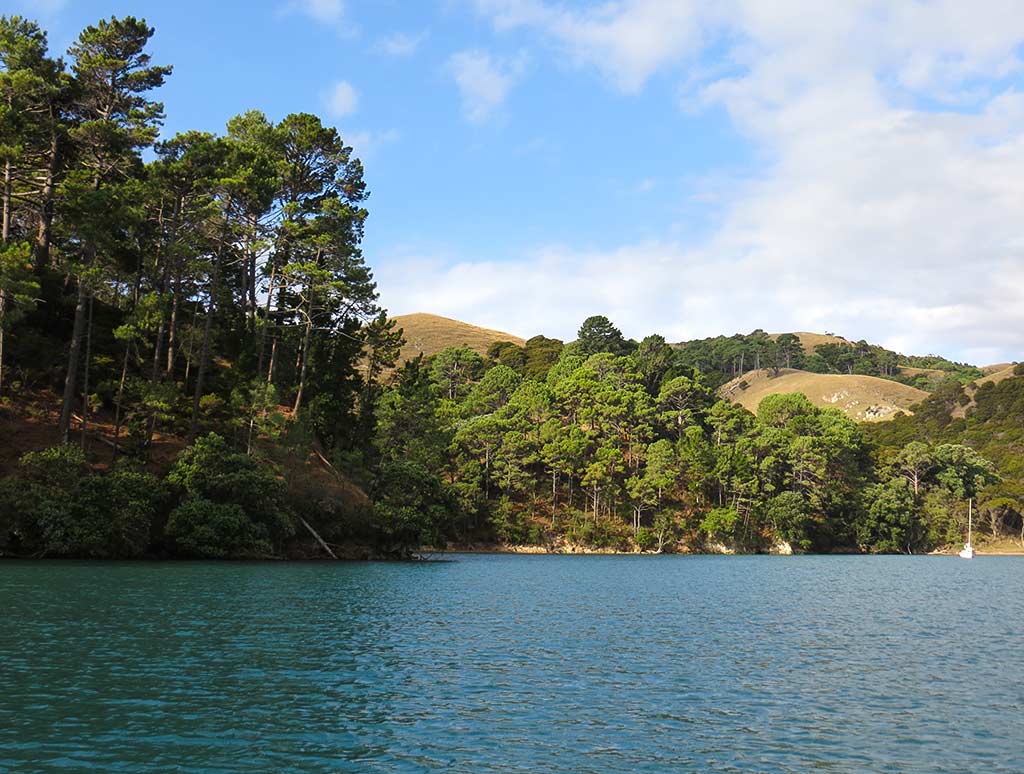
Thankfully we found that even with the new boats, there was a spot in front of the pine tree area that had intrigued me earlier. It was really very pretty; so I figured it was a little silver lining to today’s cloud. As it was still very cloudy after we arrived, I waited until the following morning to get these photos of our spot, below…

Once we were settled, it was time for something medicinal to drink. This whole experience had been upsetting, and now that the “emergency” part plus being back out in dreadful conditions was over, I had the luxury of letting the upset of the day catch up with me. Basically we gambled and lost, which happens sometimes, but at the moment I was feeling like a sore loser.

Having one of our special wines from Man O’ War winery helped soothe my spirit while I licked my wounds. When I felt better, I got up and made a comfort-food pasta dinner. This was not our best Valentine’s Day, but hey, we had nice wine, a delicious dinner and were anchored off an island in New Zealand. Would I rather be here or having dental surgery in Pacoima? OK, there were times earlier in the day that I might have picked the dental surgery, but it was pretty nice this evening.

The next morning we woke to a beautiful day. Below, a panorama of the morning sun hitting Waimate Island.

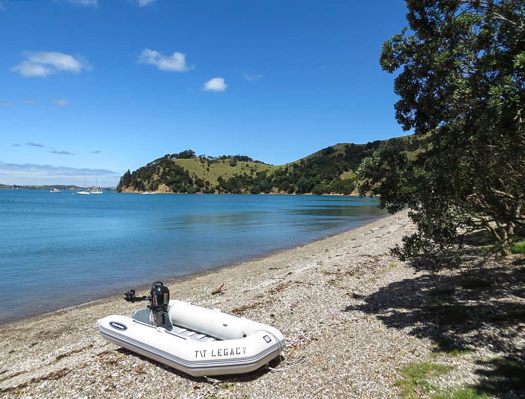
Note: It seems I didn’t get any recognizable photos of Happy Jack Island or Elephant Cove, probably because things got a bit frantic when we were close enough for photos. We did return nearly 2 years later, and I’m going to cheat and post a photo from that trip to show what the anchorage at Elephant Cove looks like. It’s actually a nice place, but it does require very settled weather to visit.

Tomorrow, we planned to head to the other side of the Coromandel Peninsula.–Cyndi