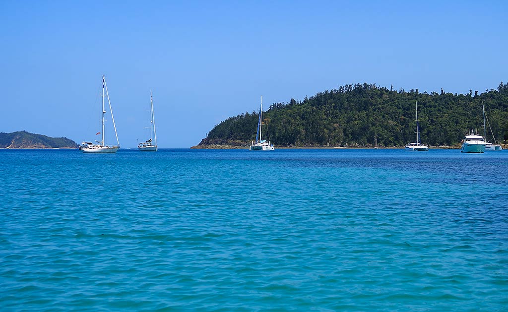
Journey to Chance Bay (Whitsunday Island, Queensland, Australia)

Posted June 16, 2024 about
September 23, 2022

The name Chance Bay, our next destination on Whitsunday Island, actually refers to a large area that contains two distinct bays. Below, a map of the entire Chance Bay area:


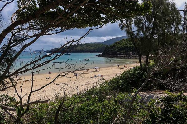
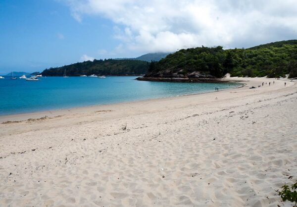
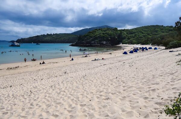
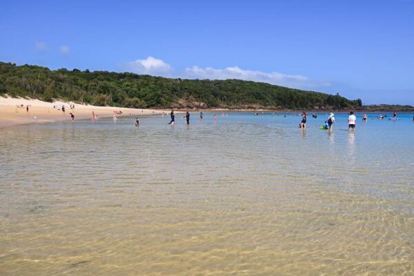
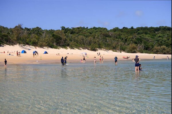
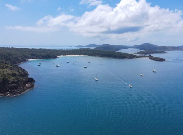
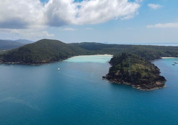
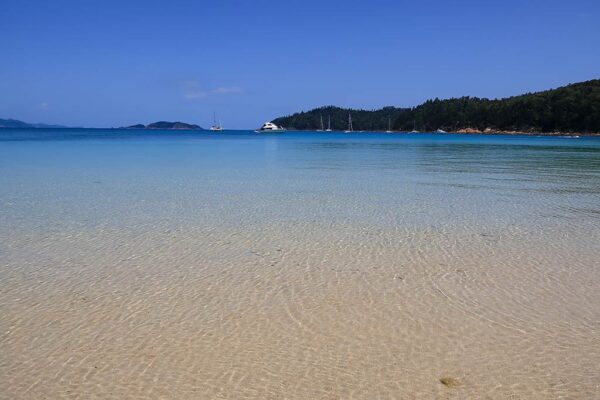
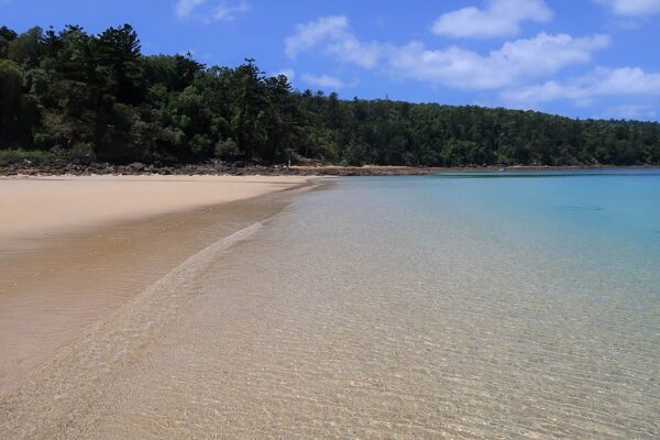
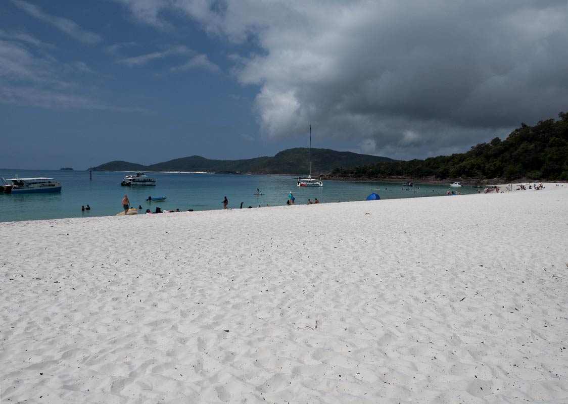
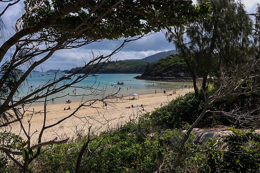
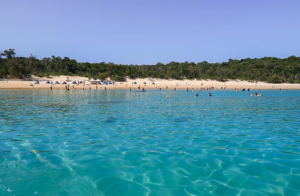
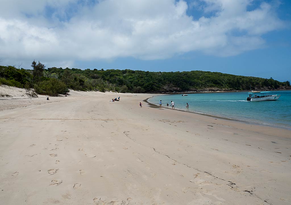
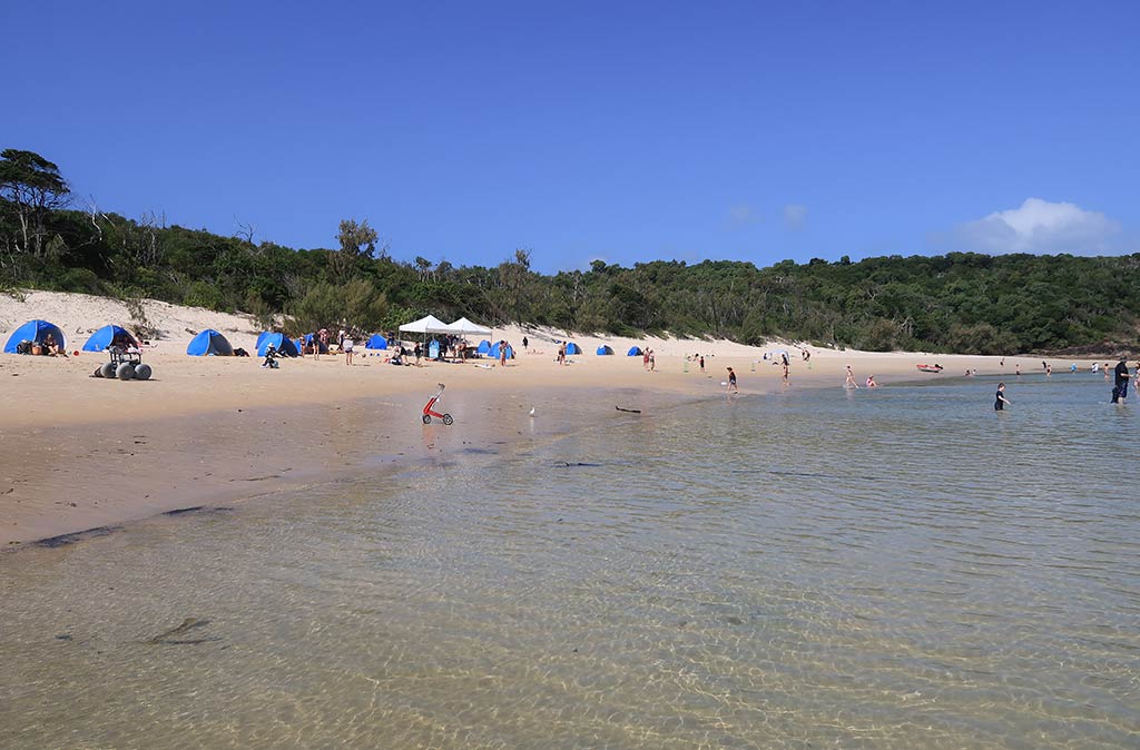
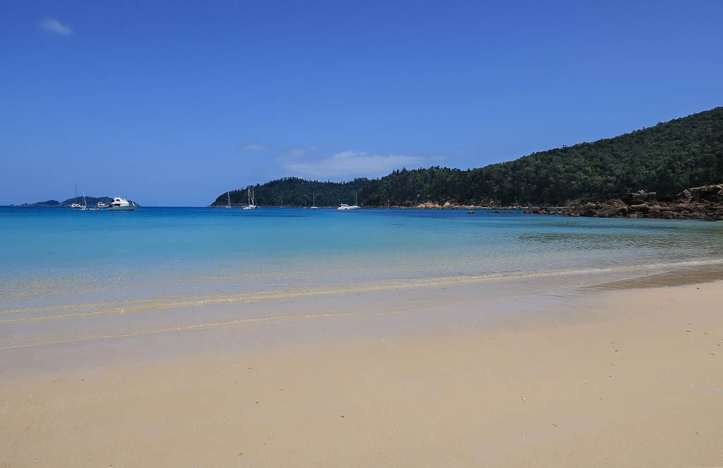
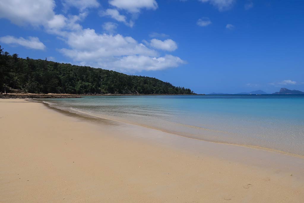
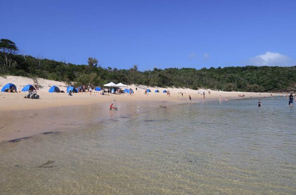
The beachy eastern bay is generally what people are thinking of when talking about Chance Bay. It’s wide, with two white sand beaches separated by a small headland. A large peninsula called Theo’s Point forms the western border of this bay. Below is a drone photo of the bay.


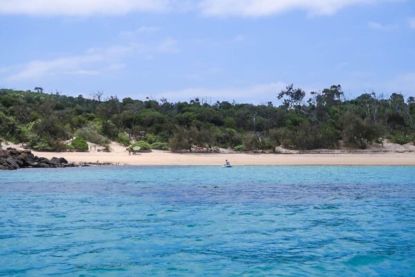
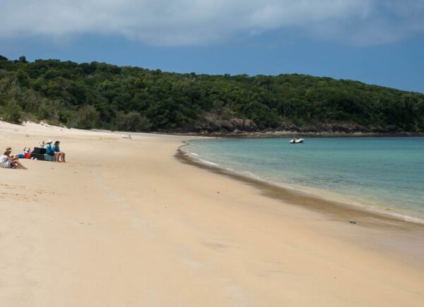
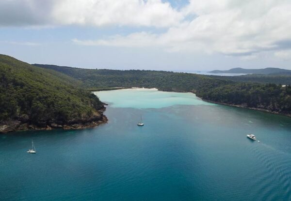
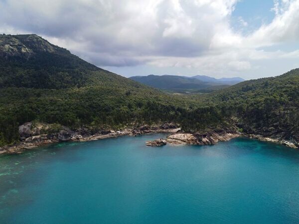
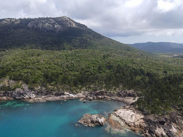
On the other side of the peninsula is a deeply indented bay called Crano Cove. Crano Cove is technically part of Chance Bay, but it’s very different in its look and feel and generally not visited by tourists. Below is a photo of Crano Cove.

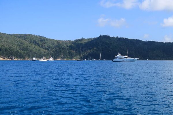
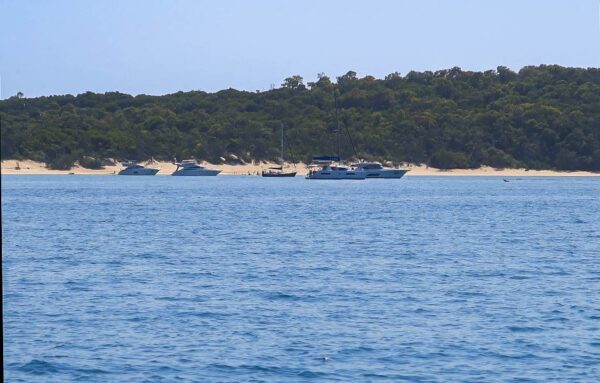
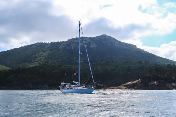
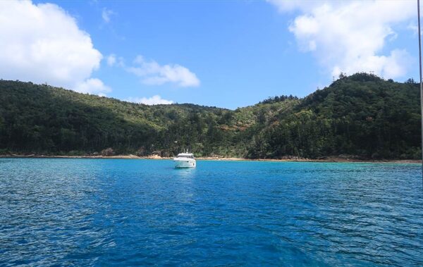
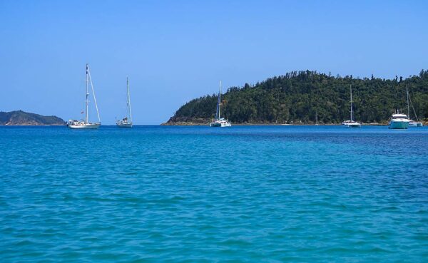
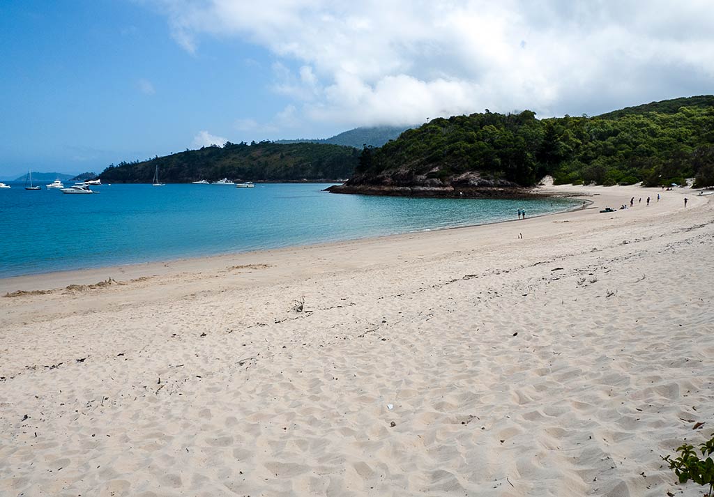
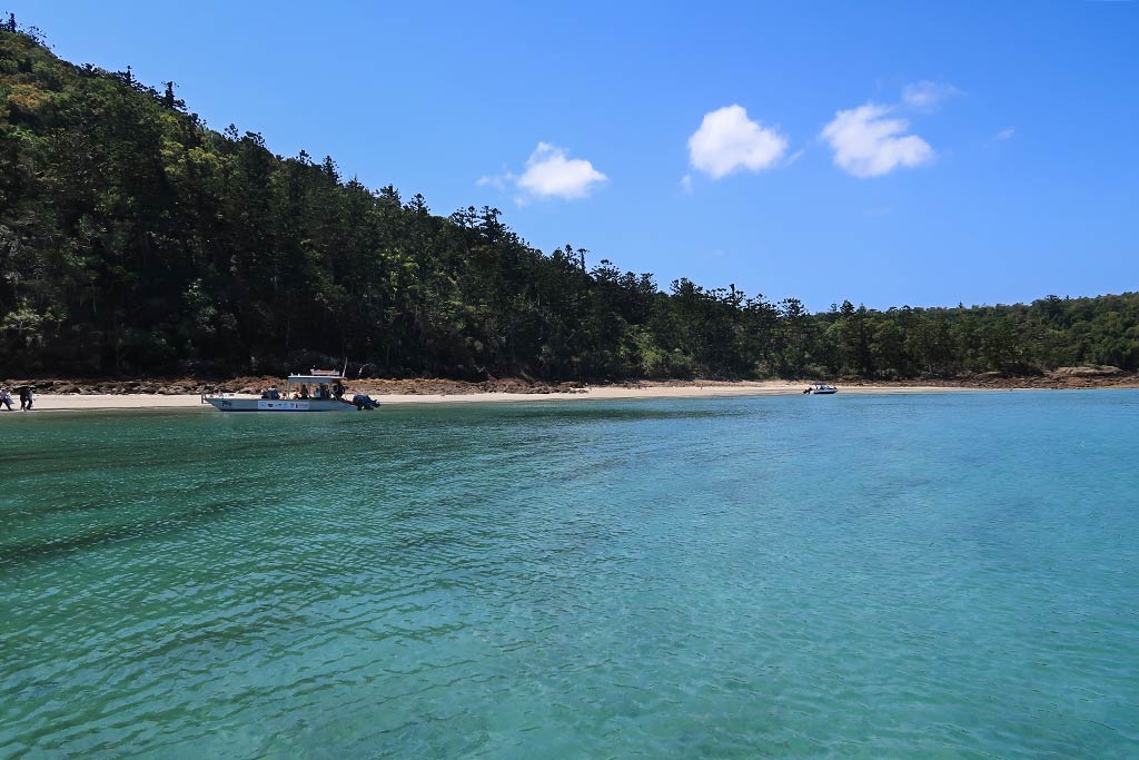
We headed off for our hour-long trip to Chance Bay. As we motored past an anchorage known as Crayfish Bay, I was disconcerted to see quite a few boats. Where did they all come from, and what were they doing there at Crayfish Bay (less of an attraction than Turtle or Chance Bay)? I worried this could be a sign that Chance Bay was crowded. Below, a photo of Crayfish Bay.

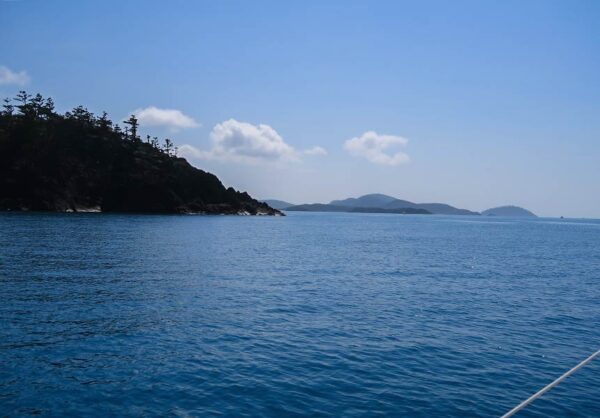
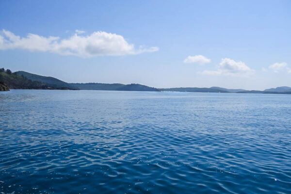
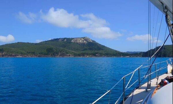
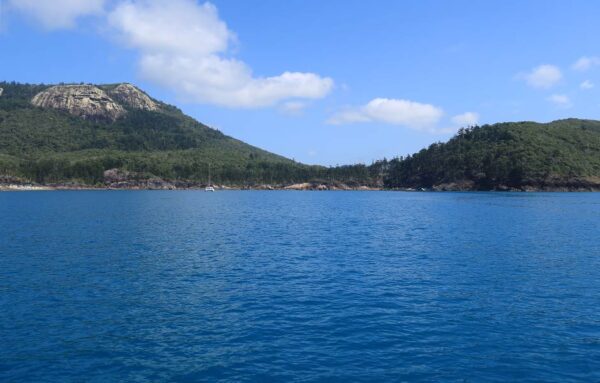
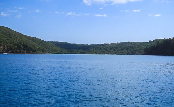
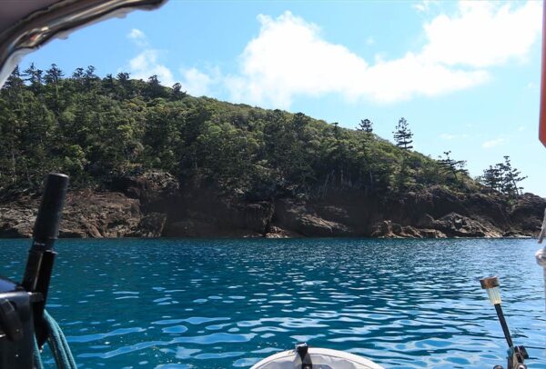
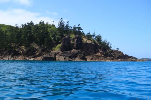
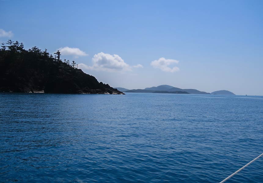
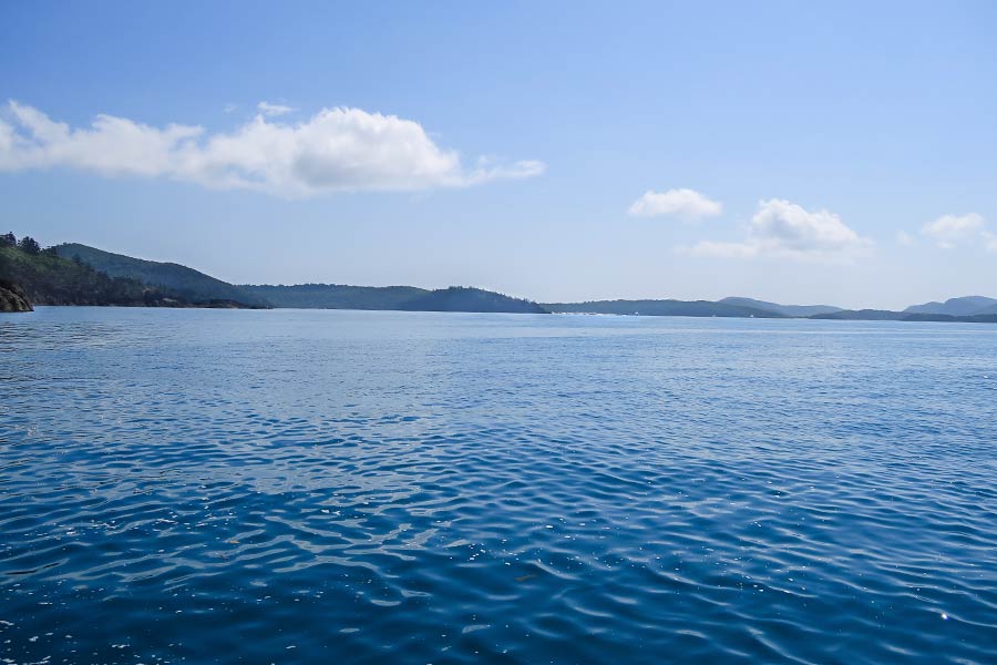
As we motored along, the scenery was attractively mountainous. It wasn’t long before we went around a rugged point (Craig’s Point), after which we were able to see the entire Chance Bay area. I was relieved to see Crano Cove, our Plan B spot, was not busy at all! Further on, though, eastern Chance Bay had a good number of boats.

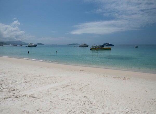
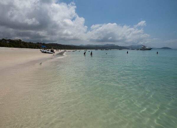
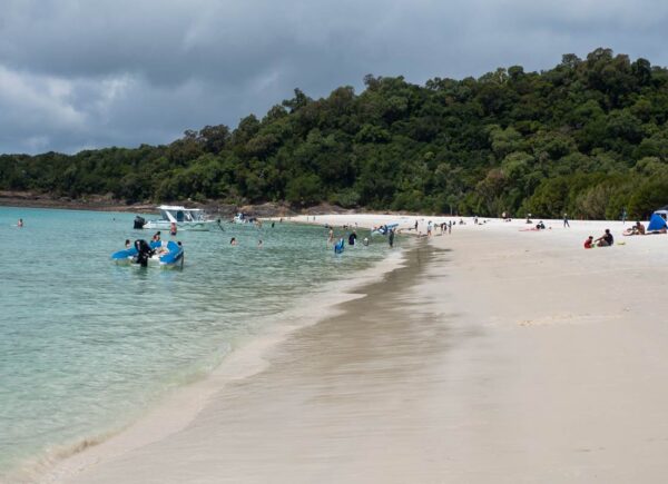
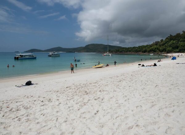
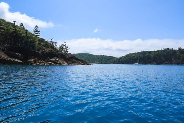
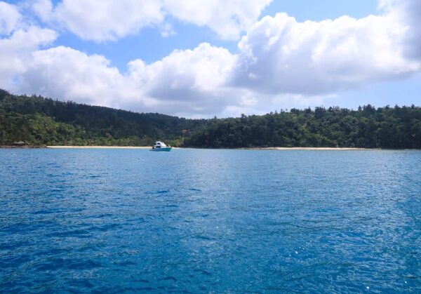
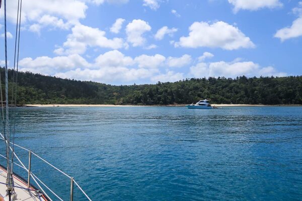
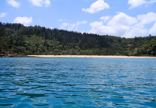
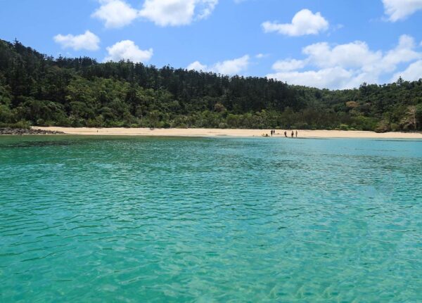
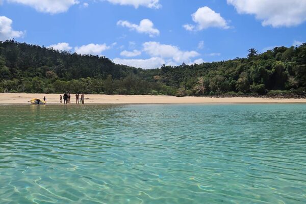
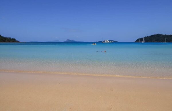
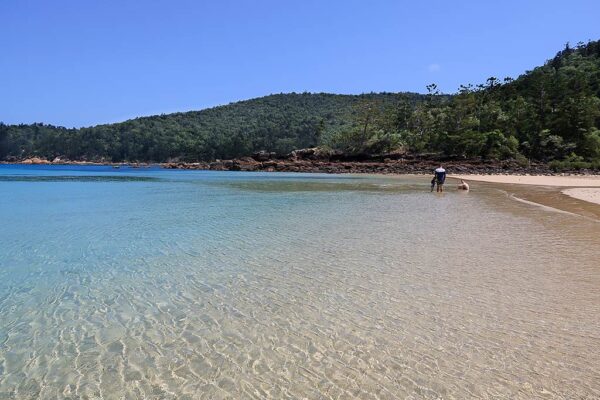
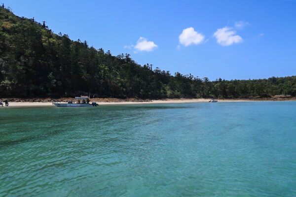
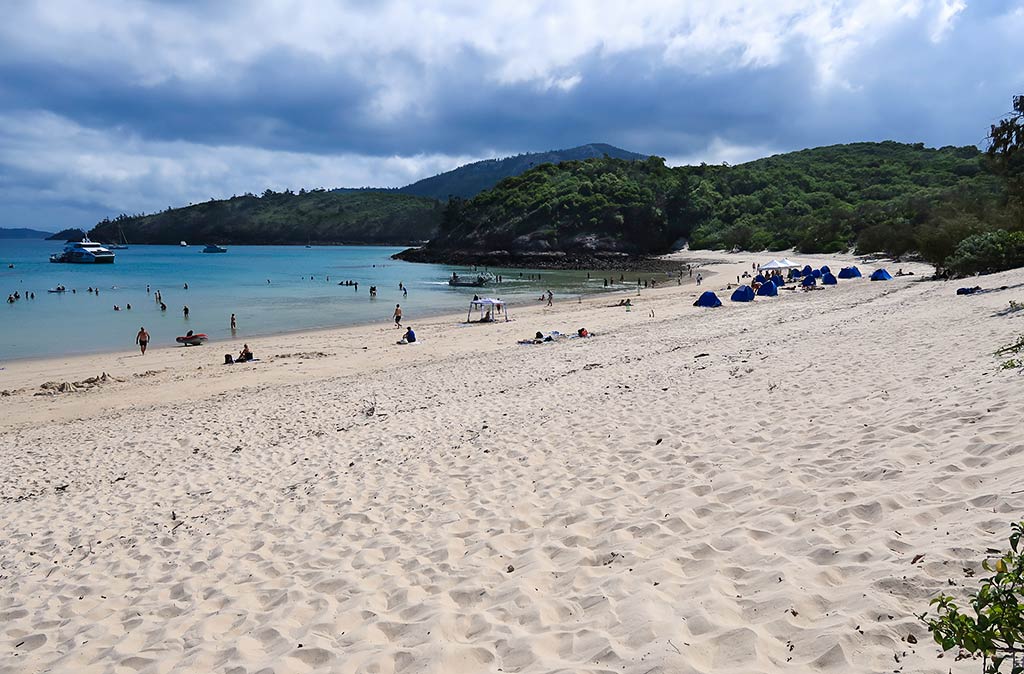
We motored over to get a closer look at the eastern bay. The hills here were very low, with drier vegetation and two strikingly white beaches. And boats. Lots of boats. With that, we decided to head back to Crano Cove, away from the crowd. We could still visit the beach by dinghy.

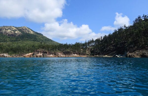
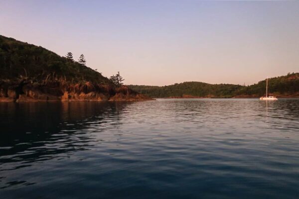
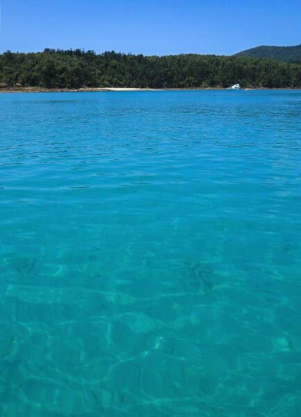
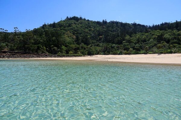
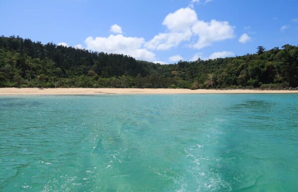
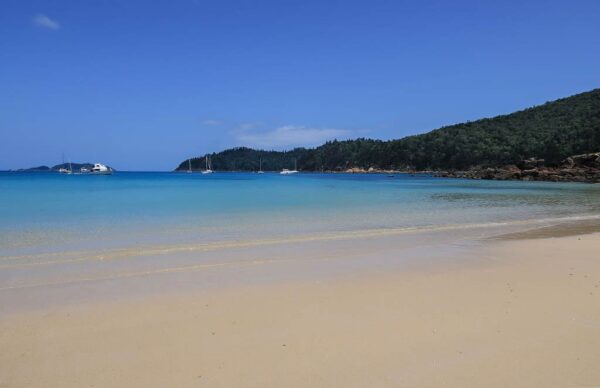
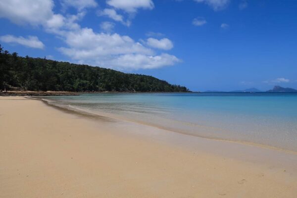
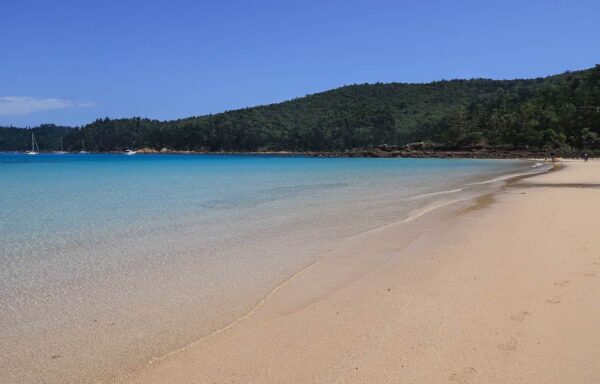
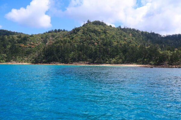
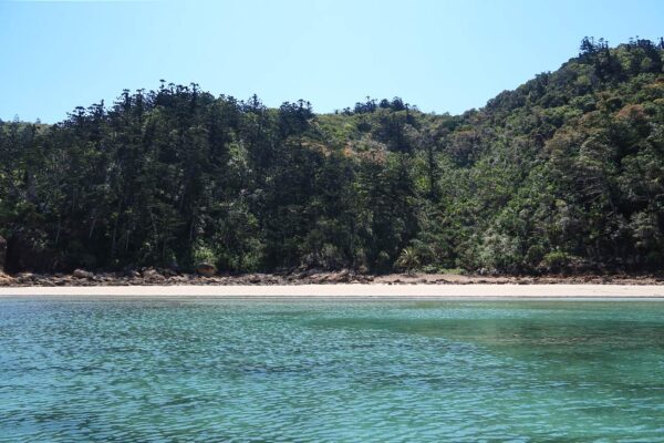
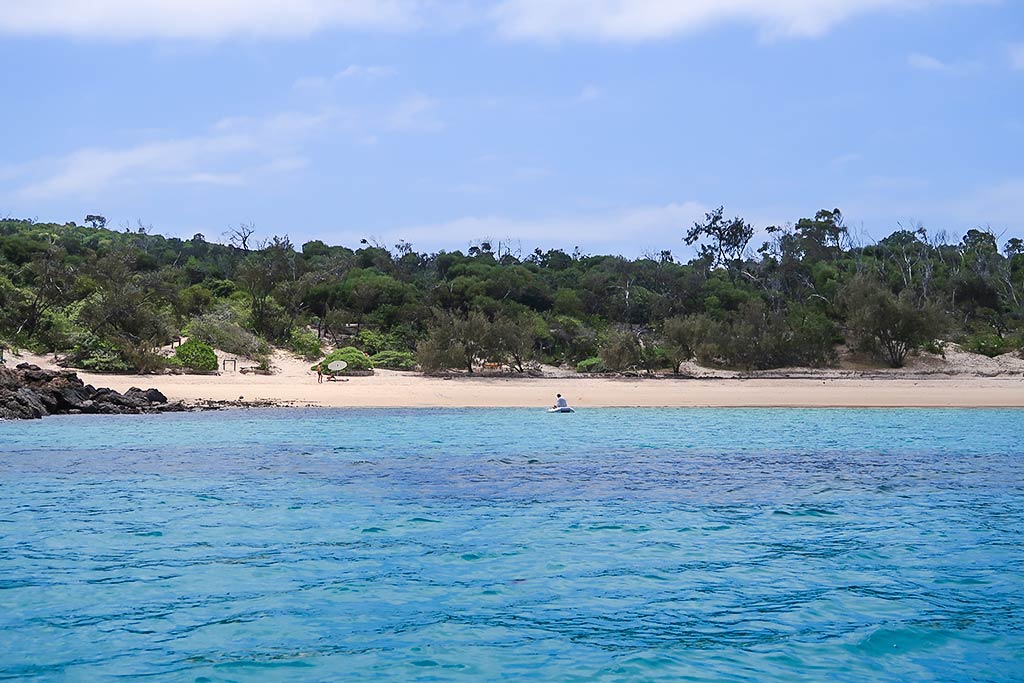
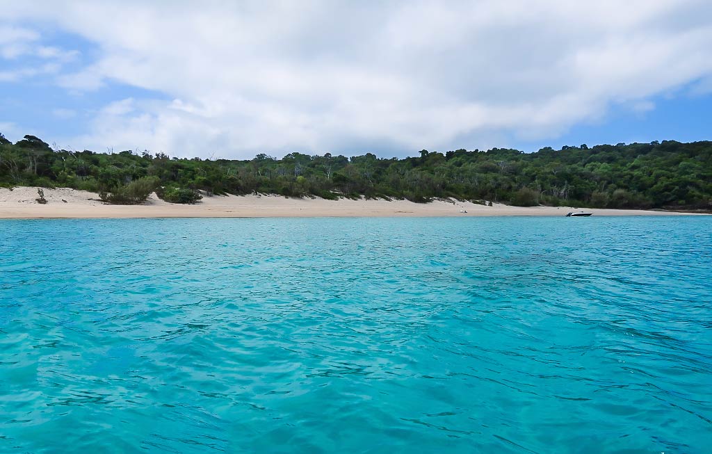
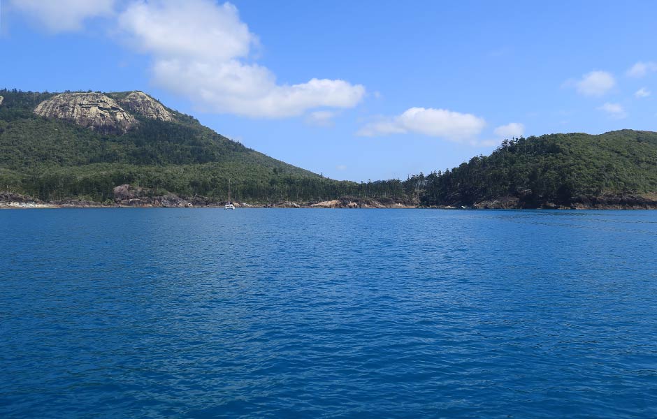
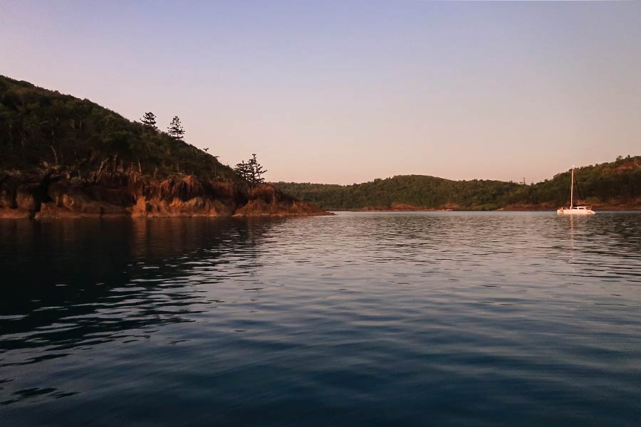
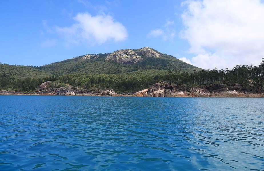
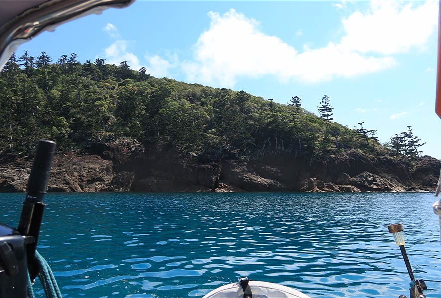
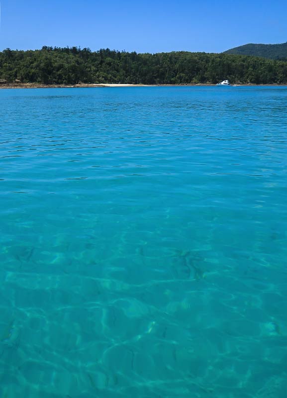
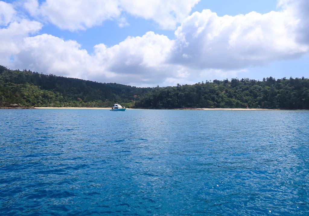
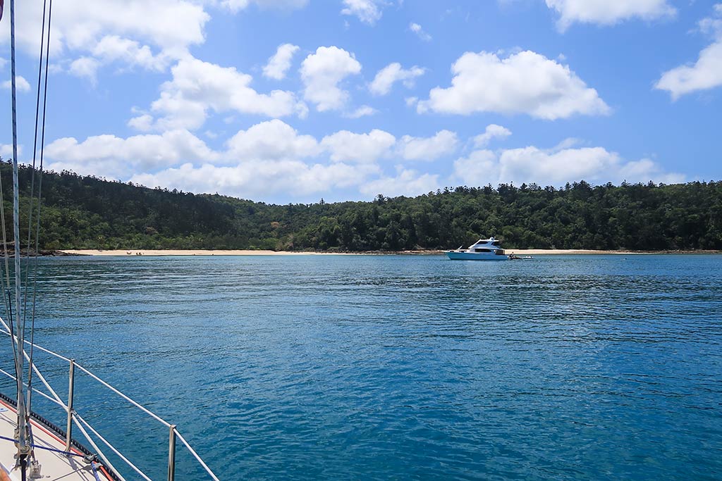
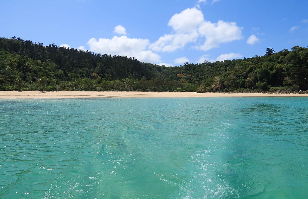
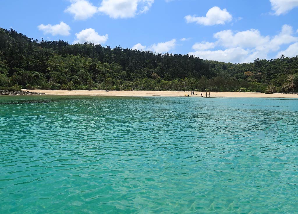
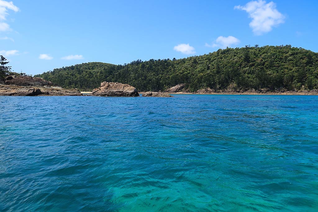
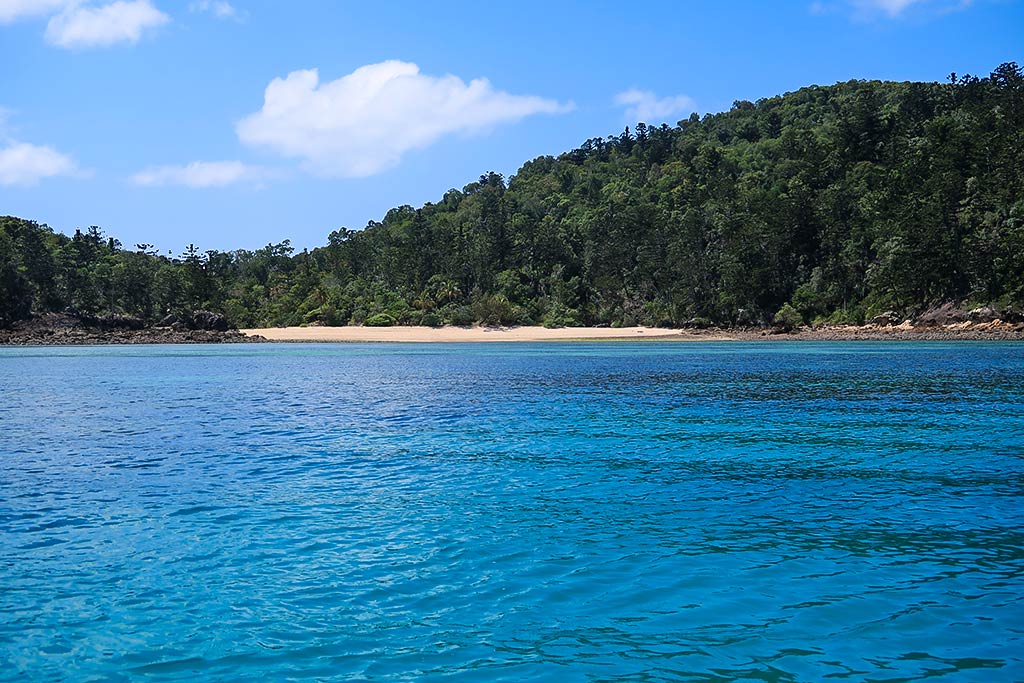
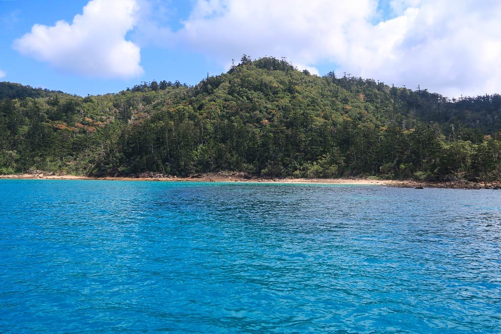
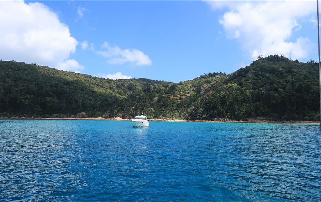
Below are photos of our trip, starting with our approach to Craig’s Point, then seeing the Chance Bay area ahead. Crano Cove hardly had any boats, while the beach area looked busy. After going in for a closer look, we returned to Crano Cove (the final photo).

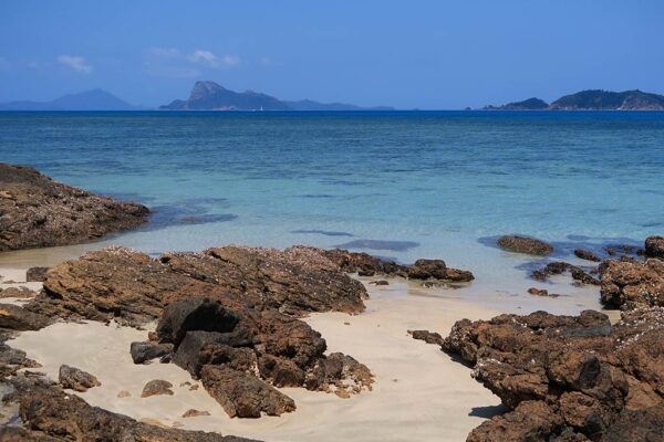
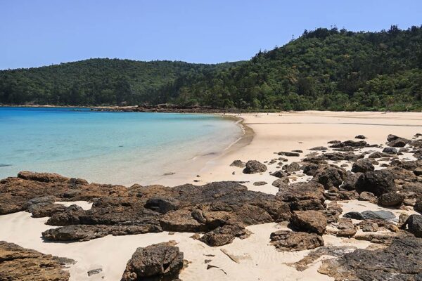
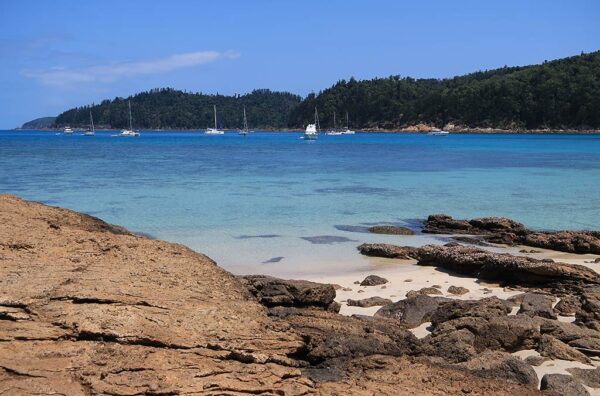
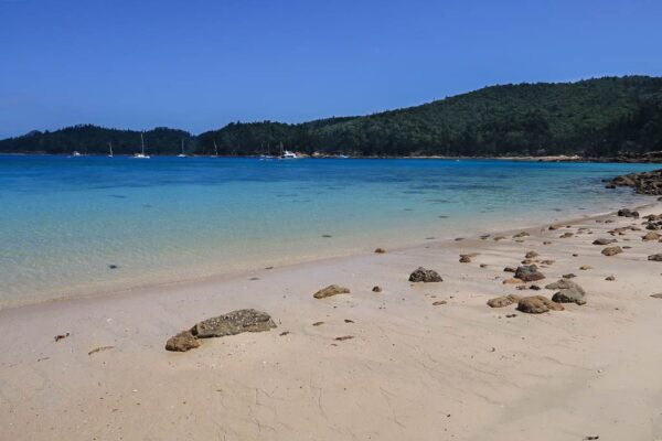
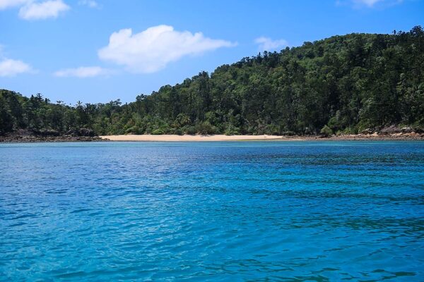
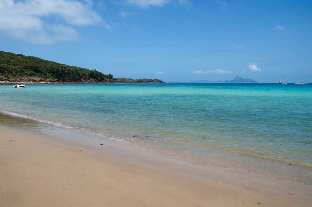
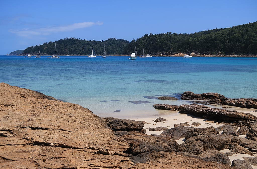
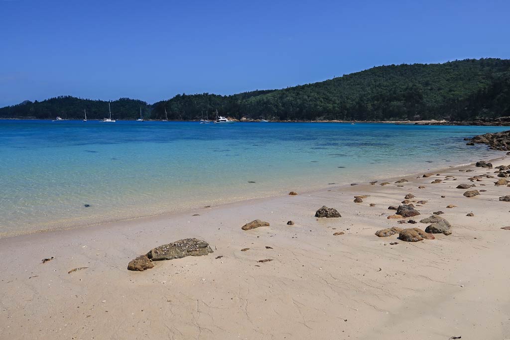
Crano Cove itself has an inviting beach, but it’s very shallow. This makes it necessary to anchor well outside of it, where the water is dark and the shore rugged and rocky. We were still inside the mountainous headland that borders Chance Bay to the west, and Theo’s Point peninsula to the east. An island southeast of Chance Bay adds some protection to the area.

Below is view of Crano Cove from the water and from above.

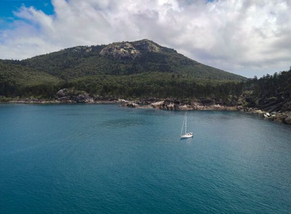
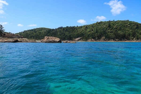
Rich picked a sweet spot tucked in behind a small island that was nearly attached to the shore, giving us our own little “bay” of sorts. Below, a photo of our spot . . .

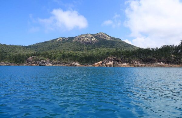
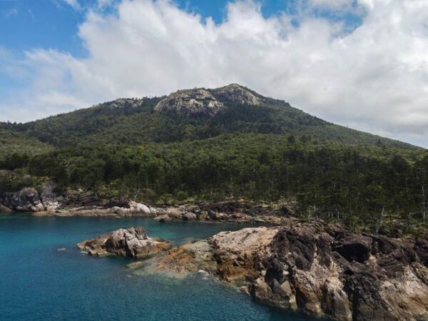
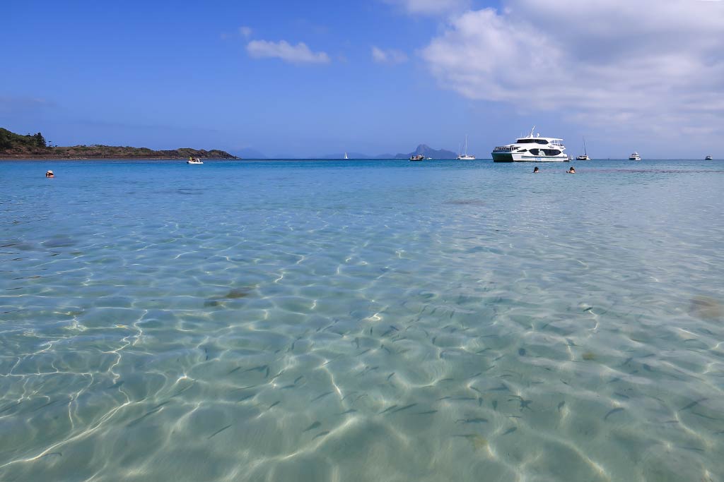
Here, the scenery had a mountainous beauty, with boulders, pines, and a mountain topped by a dramatic granite peak. This looked more like Tasmania than anything I’d associate with the Barrier Reef. And while it lacked the beachy vibe of what I’ll call East Chance Bay, it was stunning. We were very happy with this spot! Below are photos of the view around our boat.

And a few more photos from above, taken with the drone . . .

After we got settled in, it was time to dinghy over to eastern bay and its beaches, which will be the subject of the next post. –Cyndi

A Day at Turtle Bay (Whitsunday Island, Queensland, Australia)

Posted on June 11, 2024
about September 22, 2022

What a relief to arrive at Turtle Bay and find it nearly empty! It was late in the morning, after yesterday’s boats had left and before today’s had come in. For a time, it was just us and a couple of power boats. By the end of the day, however, we had plenty of company.

There was a familiar pattern that was already becoming apparent, and that’s the tendency for boats to come and go frequently in island-filled areas like this.

It reminds me of the musical chairs game—everyone gets up and circles the chairs until the music stops, at which point everyone sits down except the person who misses out on a chair. In cruising areas like this, early evening is the equivalent of the music stopping. If the anchorage is full, those who haven’t procured a spot have to go elsewhere.

One notable exception happens in New Zealand during the Christmas holiday period, where locals tend to cheat by anchoring much too closely (the equivalent of sharing a chair). I worried the same would be true in Australia, but from what I’ve observed during our seasons here, Australians practice good boating habits and anchor properly.

We picked a nice spot and dropped the anchor. How lovely it was here. We were surrounded by lush green hills fronted by two white sand beaches, which later became three lovely beaches when another emerged at low tide.

The water under our boat was dark but clear. Near the shore, it took on beautiful hues of bright blue and green, one of the benefits that comes with clear water over white sand. To the south, the horizon was filled with the hilly islands we’d left behind.

There were some coral reefs in the area, but there was no temptation for us to snorkel—we’d wait for the Barrier Reef where we planned to dive.

Apart from the beaches, the shoreline was rocky, the vegetation a combination of leafy trees and pines. A flock of cockatoos alighted from the forest, and we could hear the jungle-soundtrack warbles of kookaburras. As always, crows were making their amusing waa-waa,-waaaaaaaaaa cries. At night, we heard a strange bird that sounded like a chicken with kookaburra gurgle. Prolific birdlife is a big part of the magic of Queensland’s Islands.

Below, a view of Turtle Bay’s shore from our boat.

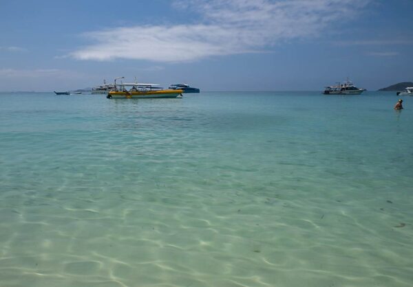
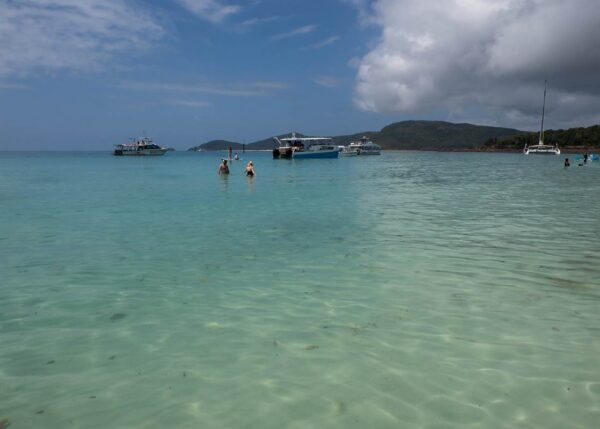
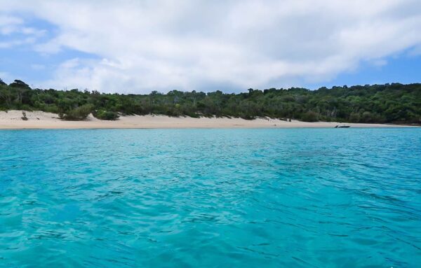
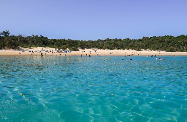
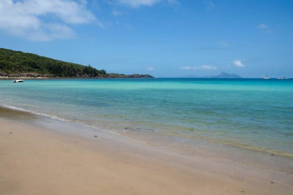
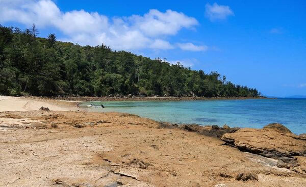
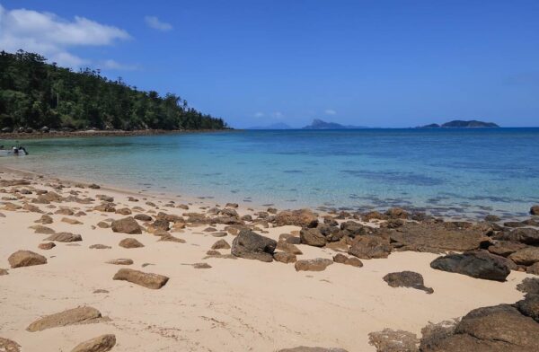
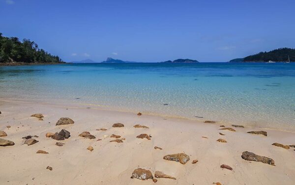
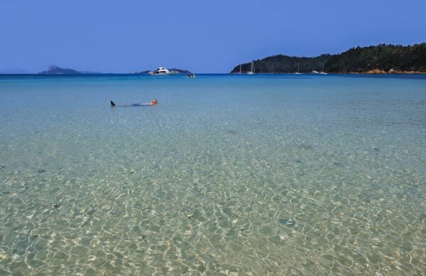
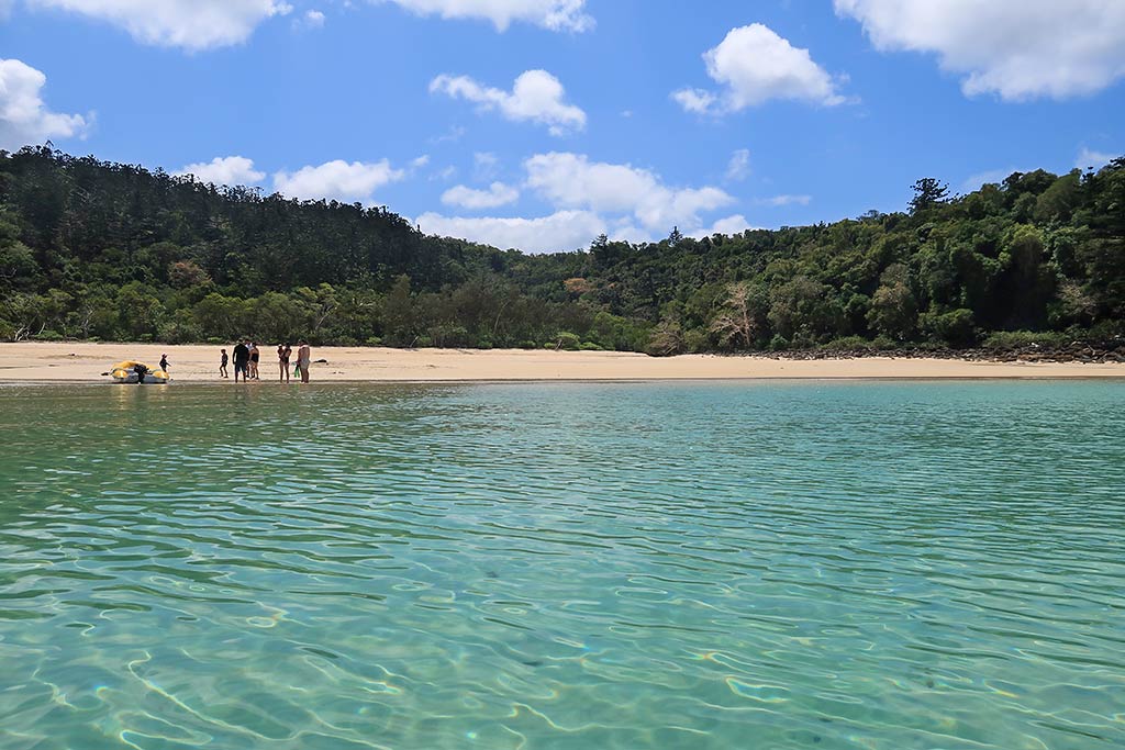
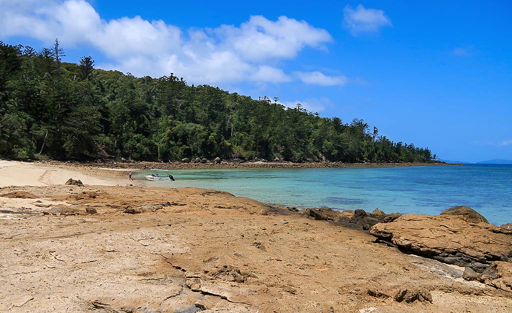
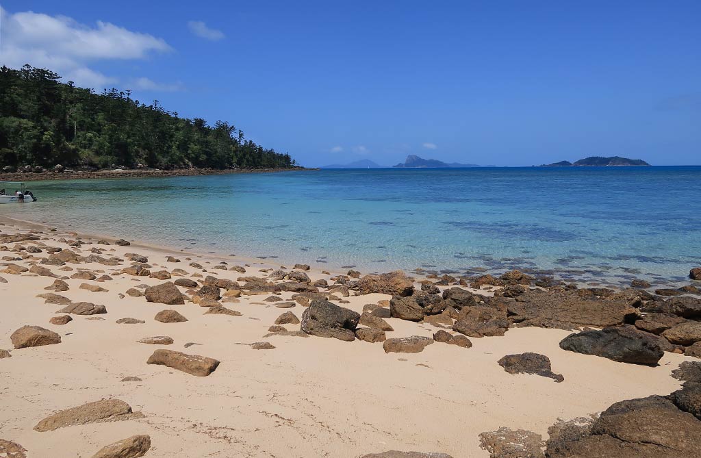
We wasted no time in getting into the dinghy and heading to the beach. The water just offshore was a beautiful blue-green, in the photos below . . .

We landed on the smooth sand of the biggest beach, then took a walk along the shore. What was striking to me was the soft, dream-like quality to the look of the land, sea and shore, much like we’d seen at our previous stop, Shaw Island. Here, though, the colors in the water were more vivid.

We walked to the area of large flat rocks that divided the two beaches. The next beach was nice but was much rockier than the main beach. I walked onto it to get a few photos, then returned to the first beach, definitely the more appealing of the two.

It was time to cool off in the water, but as I’ve stated before, the waters of the Whitsundays are home to many sharks, including three man-eaters: great whites, tiger sharks, and bull sharks. There is one particular area in the Whitsundays that has been the site of numerous attacks, so now warning signs have been posted there, and everyone is warned not to go in the water at all.

In other areas, visitors are urged to stay alert and never to swim between dusk and dawn, when the sharks are feeding. Beyond that, it’s advised that people swim in clear-water areas. Swimming off an anchored boat, in darker water, is up to the individual.

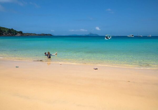
In Turtle Bay, I noticed that only one person was the water amid the boats, but he had a motorized, hydroplaning surfboard he was riding on. Later in the day a family swam off their swim step, but otherwise most people did the same thing we choose to do—bask in the water just off the beach.

(Note: I’m aware many shark attacks take place in shallow water, but that’s generally near river estuaries, murky water, or water over coral reefs. I can’t claim swimming off this particular beach was risk-free, but it was a calculated risk we were willing to take.)

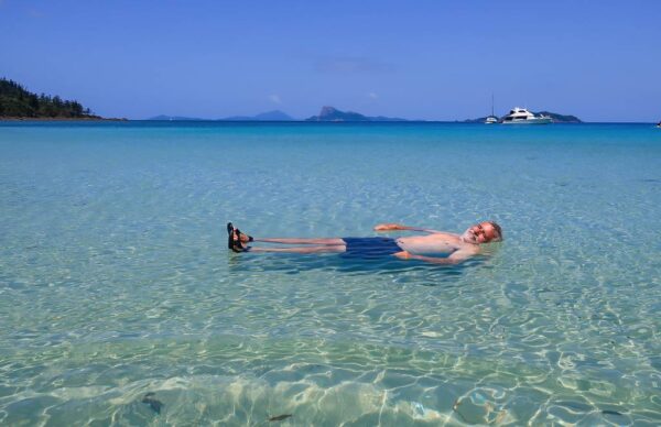
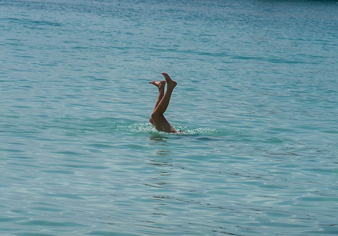
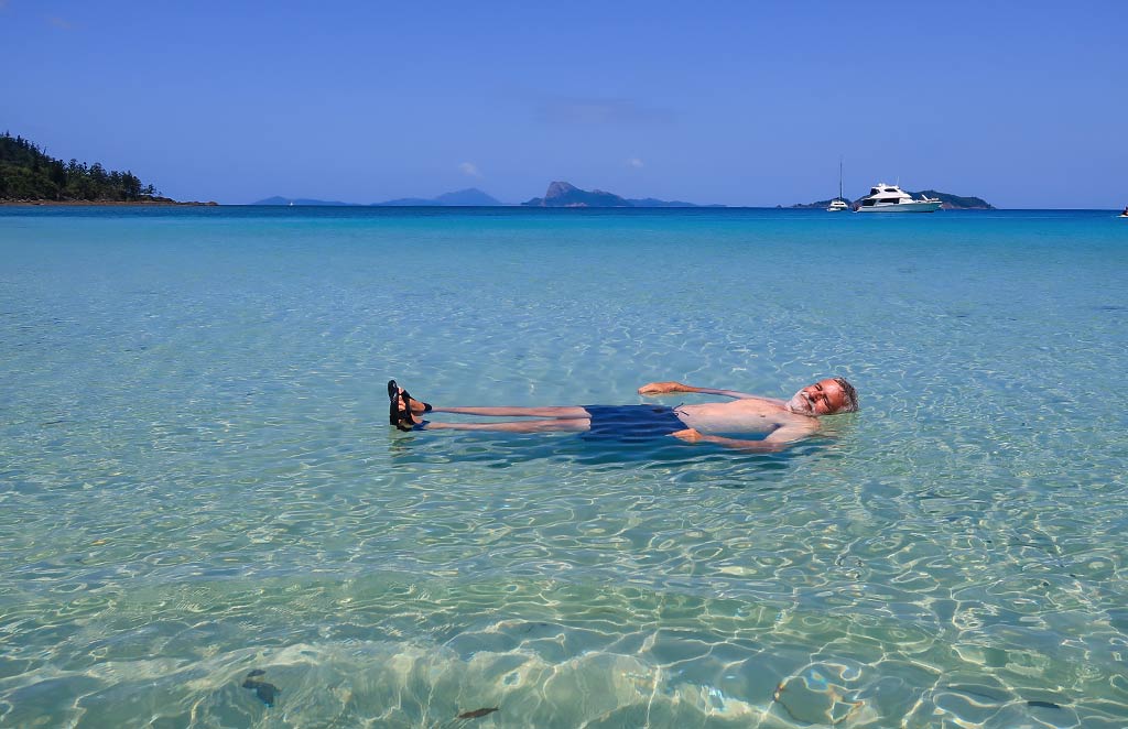
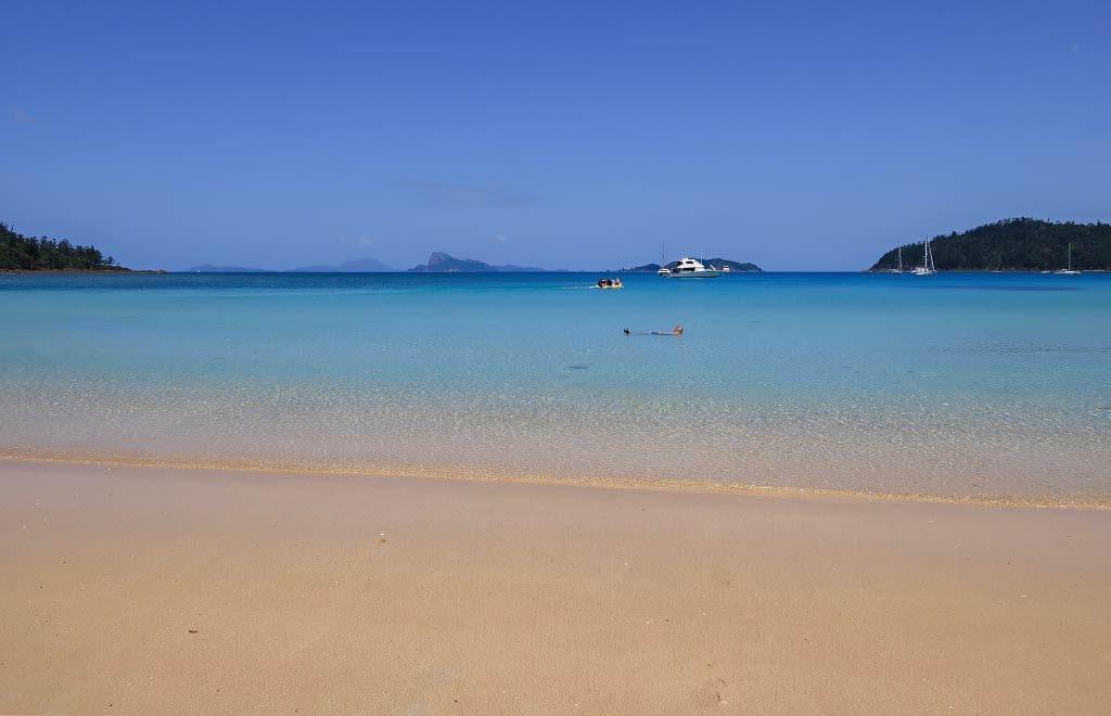
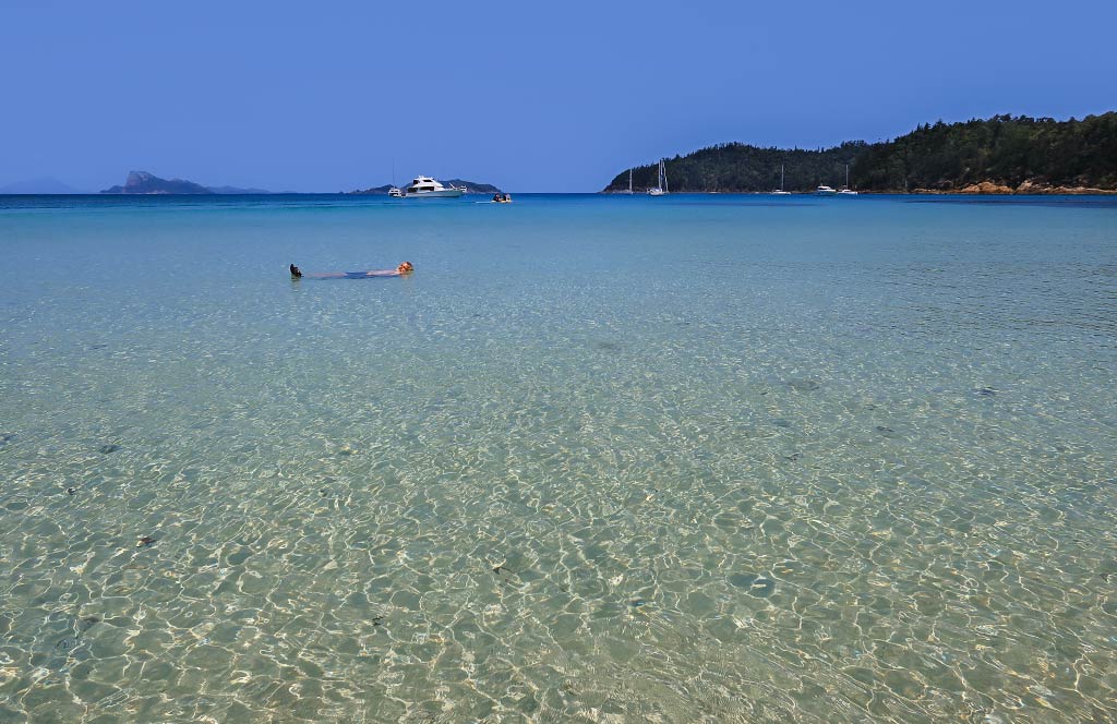
The water was pleasant, clear, warm yet refreshing, and simply wonderful to float in under a clear blue sky. And look at how blissed out Rich looks!

Feeling relaxed after our swim, we took a dinghy ride around a headland to the neighboring anchorage, a spot called Torres Herald Bay. It’s a small bay and shallow near shore, perfect for a power boat or shallow-draft boat.

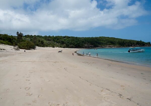
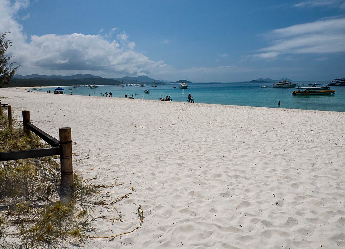
On the way back to our boat, we took a detour to where a beach had emerged as the tide got low. And what a nice beach it was! There were a couple of visiting tour boats that must time their visits for low tide. Turtle Bay now had three beaches! Below, photos of the shore at high tide followed by photos of the beach that emerges during low tide. It’s quite a contrast!

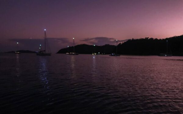
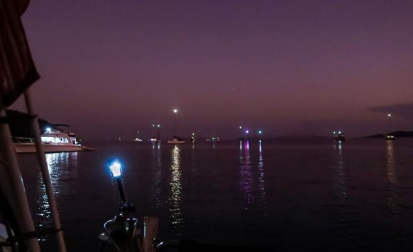
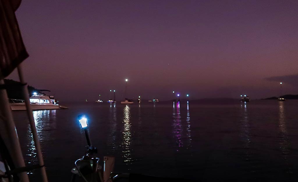
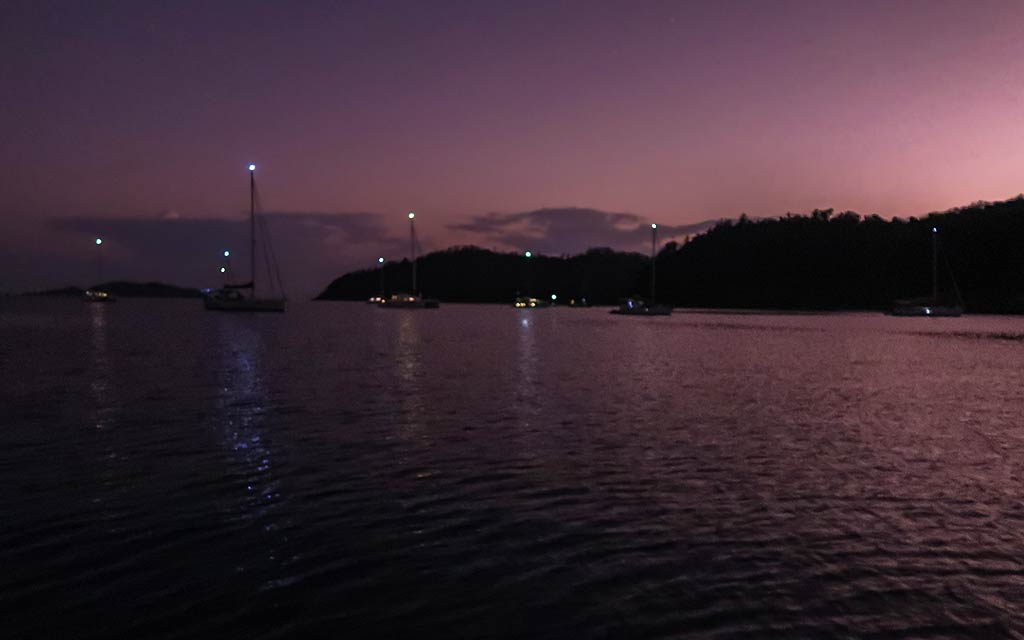
As the day went on, the anchorage filled up, but it never felt crowded. Below are photos of the anchorage taken during the day and after dark.

From what we could tell, most of the boats around us had been chartered. I was learning that just because the cruising season was ending, it didn’t mean there wouldn’t be plenty of other boats. We were now entering peak season for yacht charters, and it showed. I just hoped the anchorages would always have room for us.

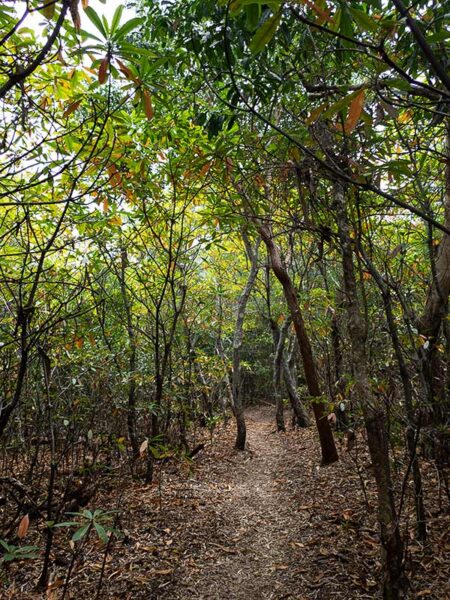
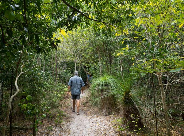
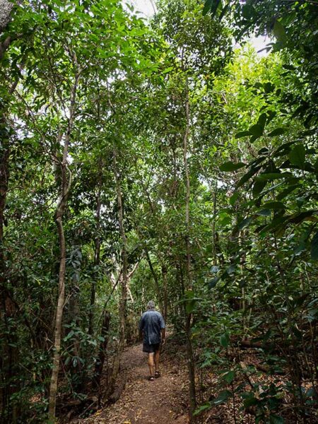
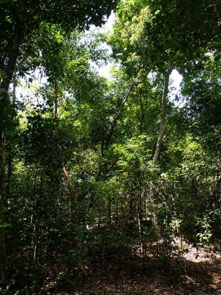
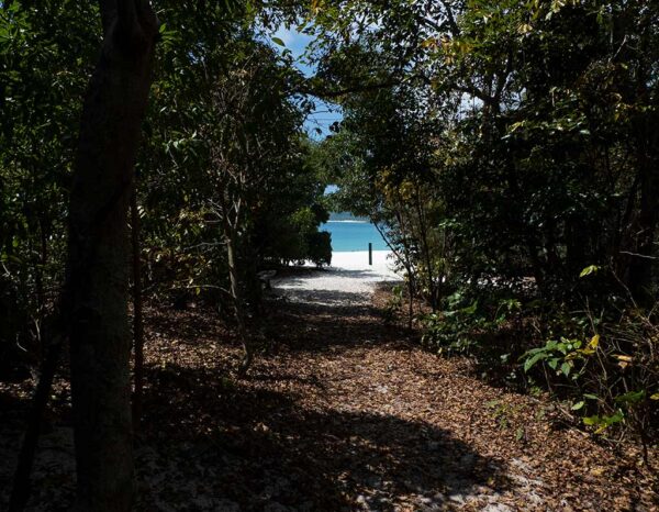
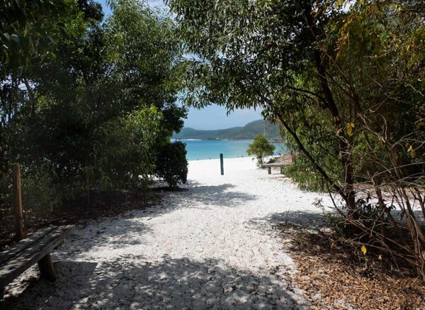
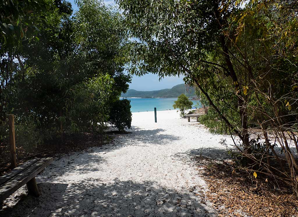
With the good weather forecast to continue, we planned to head four miles east to Chance Bay the following morning. Like Turtle Bay, it would have a white sand beach. But the main draw was a hiking path through bush forest that would take us to the biggest attraction in the Whitsundays, Whitehaven Beach! –Cyndi
Cruising the Whitsunday Islands: What No One Talks About (Queensland, Australia)

May 28, 2024

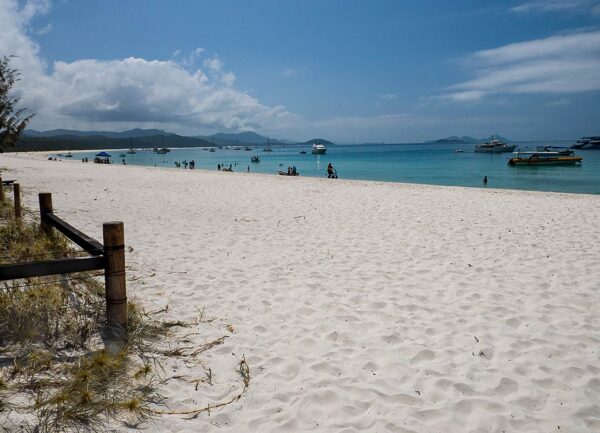
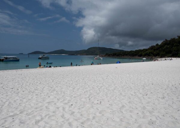
While doing some research as we made our way up the Queensland coast, both through the internet and conversations with Aussie cruisers, I got the impression that peak season in the Whitsundays can be a bit of nightmare. Strong winds not only limit the tenable anchorages, they can also make those anchorages rolly and uncomfortable.

Then there’s the overcrowding. It’s advised that Whitsunday boaters always have a plan B anchorage since it’s common to arrive at one’s destination and find no room. With peak-season crowds, one also needs Plans C and D, or maybe reservations at a marina.

So, why do so many boaters crowd into the Whitsunday Islands between June and early September? The main reason is to avoid cyclone season.

Technically, cyclone season ends in early May and begins in November. However because of the time it takes yachties to make their way up the Queensland coast, many don’t arrive until June. This also means the cruising fleet needs to head south well before November to get out of Queensland (the border of which is a 650-mile, multi-stop journey south of the Whitsundays) before cyclone season. In fact, I’ve noticed that even October makes Aussie cruisers nervous about cyclones. Many prefer to head for the safety of the southern states or cyclone-rated marinas by mid-September. Of course, work schedules can also shorten one’s cruising window.

Cyclone season also coincides with the arrival of tropical heat, humidity, rain, and the proliferation of deadly jellyfish (particularly box and irukandji jellyfish), all of which make chartering a boat or even visiting as a land-based tourist less appealing during that time.

Meanwhile, two major regattas, Airlie Beach Race Week and Hamilton Island Race Week, take place in August. The excitement of sailboat racing combined with numerous festivities is a huge draw for the yacht club and racing crowds. Many people want to be here for race time!

Other than race-week partakers, the best time for anyone, whether they are boat or land travelers, to visit the Whitsundays is during the second half of May (since the first half is both windy and the tail end of cyclone season) and the second half of September through October (when the trade winds die down and the crowds disperse). These periods offer both settled weather and reasonable crowds.

I made this chart below. The good times are highlighted with bold font.

Best Whitsunday Cruising Times

January Cyclone season, heat, humidity, rain, deadly jellyfish
February Cyclone season, heat, humidity, rain, deadly jellyfish
March Autumn windy period, cyclone season, heat, humidity, rain, deadly jellyfish
April Autumn windy period, cyclone season, heat, humidity, rain, deadly jellyfish
Early to mid-May Autumn windy period, cyclone possibility, deadly jellyfish
Mid to Late May Good time! Early fall windy period  and cyclone risk fading, crowds not yet peaked, jellyfish dispersing
June Strong Tradewinds, Overcrowding
July Strong Tradewinds, Overcrowding
August Strong Tradewinds, Overcrowding, Race Weeks mean extra crowds.
September (1st half) Better: crowds start to disperse, trades start to die down.
September (2nd half) through October Good time! Although dangerous jellyfish do show up during October, necessitating the need for stinger suits.
November Cyclone season begins, heat, humidity, rain, deadly jellyfish
December Cyclone season, heat, humidity, rain, deadly jellyfish

This adds up to a total of about 2 months of good cruising time, but only 1 ½ months of this is consecutive. It’s sobering to see the limited times when the Whitsundays are actually nice for cruisers spelled out so plainly.

Incidentally, mid-September through October is a popular (and expensive) time for yacht chartering, but with the privately-owned boats gone, anchorages are less crowded.

It’s amusing to read the websites of charter-boat companies urging people to rent in November and December with statements like, ‘Brief, light showers add charm to the warm weather.’ What a creative way to describe the hot, humid, and rainy season! There’s little mention of cyclones or the need to wear stinger suits in the water because of the jellyfish. Naturally, any discussion about sharks is totally avoided, although it seems they warn their customers before they actually head off in their rented yachts.

Now that I’ve exposed some hidden issues behind cruising the Whitsundays, I should resume blogging about our actual time there!

I guess ‘exposed’ seems like a strong word since these issues aren’t really secret; they just aren’t made apparent. Something all travelers need to keep in mind is that people involved in the tourism industry (which includes travel writing, running hospitality or retail businesses, managing boat and equipment rentals, or promoting rallies) don’t really have the customers’ best interests at heart.

They certainly want you to have a good time, but in the end, they have their own best interests (profits) at heart. This means that some things get over-hyped while other issues are kept firmly on the down-low. I’m not criticizing anyone for this—after all, Rich and I have been business owners and know about facing ethical dilemmas while trying to make a living. This is more of a ‘buyer beware’ sort of stance.

It’s easy when listening to a so-called ‘authority figure’ to hear information that jibes with what you want or expect to hear. But while ignoring or discarding unpleasant truths might make us feel good in the short term, it doesn’t serve us in the long run.

I’m getting into other issues now, so I’ll wrap this up and get back to our own Whitsunday experience. –Cyndi
Heading to Whitsunday Islands National Park (Queensland, Australia)

Posted May 25, 2024
about September 22, 2022

Today, I felt excited and nervous as we prepared to set sail for the Whitsundays. I was excited to finally visit these islands, yet anxious about figuring out how to cruise through them in a timely manner.

The Whitsunday Island group includes dozens of islands and islets. While only a few of these islands have good anchorages, it would still be a challenge to choose the most worthwhile spots, visit them during suitable weather conditions, and manage to do so in a sensible order to avoid zig-zagging around. Last but not least, I wanted to make this excursion as enjoyable as possible for Rich.

As I mentioned in an earlier post, Rich was not much enjoying this part of Australia. If it were up to him, we would have skipped the Whitsundays entirely. But for me, this was a dream destination; skipping this area was unthinkable! Rich agreed to go for my sake, and I agreed to choose just a few anchorages and get us through this area as quickly as possible. In a sense, Rich would be like a survivor contestant suffering through an endurance trail. I would try to make this endurance trial as comfortable as possible for him. Maybe he could even enjoy it.

I’ve developed a lot of skills during our years of cruising, but my greatest superpower is getting my sometimes-wary partner to enjoy places he’s not quite convinced he’ll like.

We had one lucky happenstance: we were arriving late in the season, which meant the trade winds were dying down. These winds make many of the east and south-facing anchorages nonviable. In fact, we had entered a period of light northerlies, which would make the cruising here much easier.

Below is a map of the Whitsunday Islands. As you can see, many of the most interesting-looking bays face south or east, making them ill-suited for the trade wind season (which is also the peak cruising season). We were lucky to be here after those winds died down.

 
I had made my first choice for anchorages. The forecast called for a few days of light northerlies, so it was a perfect opportunity to visit the two large bays on the south end of Whitsunday Island: Turtle Bay and Chance Bay. They both featured white sand beaches and water in tropical shades of blue. Chance Bay also boasted a walking trail to the area’s most famous landmark, Whitehaven Beach. Below, a map.

 
I decided we should start with Turtle Bay. The trip there would take only three hours; so we could spend a relaxed afternoon exploring the area by dinghy after we arrived.

And so we set off into another misty morning, the glassy sea making a mirror reflection of the sky above. The view surrounding us was filled with island landscapes. It was difficult to tell what was what!

We marveled at the large angled peak of unusually-shaped Pentecost Island, which seemed to change its appearance from every angle. There aren’t any good anchorages there, but adventure-seekers sometimes hire a speedboat to bring them over so they can climb to the peak.

We also got a good look at Hamilton Island, which I planned for us to visit for some marina and resort time. Although Hamilton Island is considered part of the Whitsunday Islands, it’s not part of the National Park, which has allowed for quite a bit of tourism development. And it showed! The photo with the high-rises is actually from the more remote backside of the island. The other side is much more developed!

Whitsunday Island, on the other hand, is completely undeveloped, its beautiful green mountains covered with pristine forest. However, it sees quite a bit of boat traffic. Speed boats bring tourists from the mainland for afternoon jaunts, while visiting yachts crowd the anchorages. This is exacerbated by the large number of charter yachts available. Another advantage to our late arrival is that the crowds had died down, and it looked like Turtle Bay had plenty of room.

Below, photos of our approach to both Whitsunday Island and Turtle Bay.

At this point in the post I went on to talk about the issues with cruising the Whitsunday Islands. I have decided to make it a separate post, coming up next. –Cyndi