April 19, 2016
for an evening at the Tata Islands, Golden Bay, South Island, New Zealand. Life is good!
Cyndi and Rich aboard Legacy

April 19, 2016
for an evening at the Tata Islands, Golden Bay, South Island, New Zealand. Life is good!
April 19, 2016
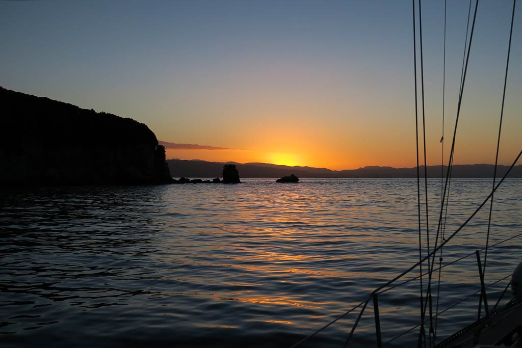
Later in the afternoon, we headed outside with a bowl of popcorn and glasses of white wine to watch the evening develop. The day had been warm and sunny, and the nice temperatures lingered into the evening. Rich put on some music, and we sat outside watching while the light changed from gold to a deep orangey-pink as the sun went down. It was just one of those really nice times where all the elements combine to make an ordinary evening into something special. Rich captured it really well on video here:
Below, a gallery of photos of the evening’s progression. (Click to enlarge/scroll).
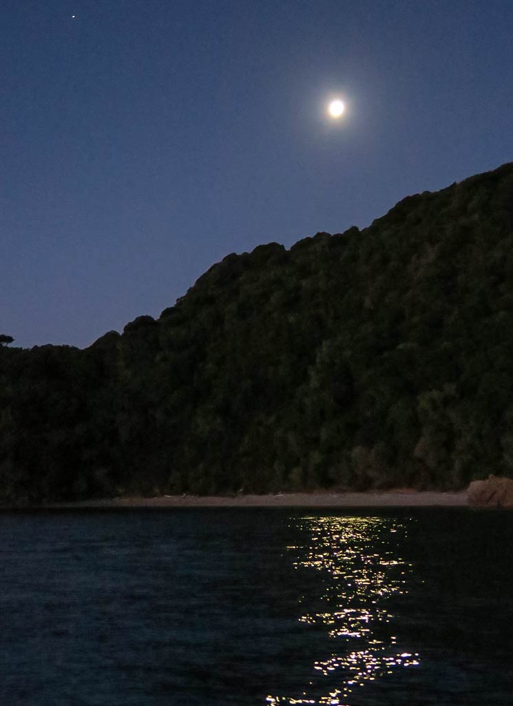
Later, impressed by the way the white rock seemed to glow in the moonlight, I took a photo of Ngawhiti Island under the stars.
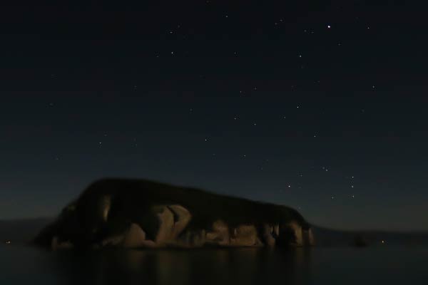
We had been concerned about possible roll in the anchorage tonight, but the water was calm with only the most gentle movement. A floral smell wafted through the air, making this night as magical as the evening had been. We hadn’t explored by dinghy yet, but we decided it was already worth the effort to visit the Tata Islands. –Cyndi
April 19, 2016
Technically, this was the start of our cruise in Abel Tasman National Park, but at this point we were actually in a different area: Golden Bay.
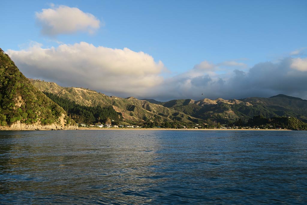
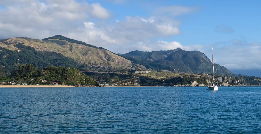
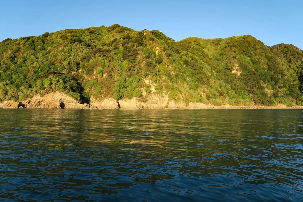
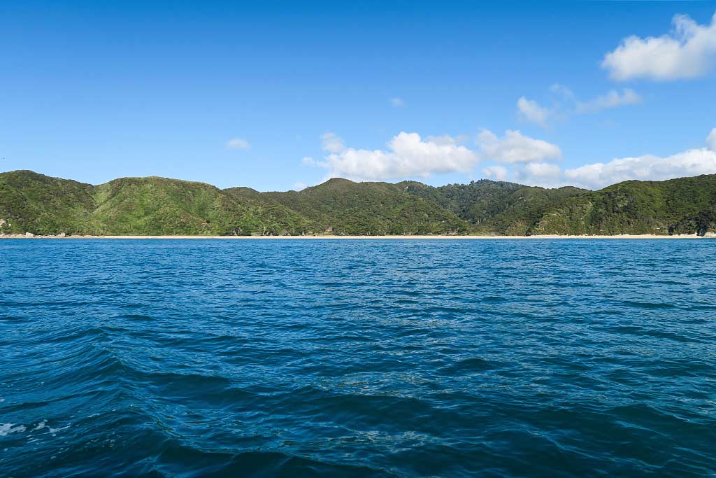
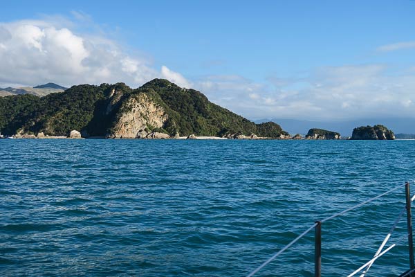
Golden Bay is very unique and not really representative of the national park area. It’s a big shallow body of water protected by the long-reaching arm of the Farewell Spit. As a result, Golden Bay has fairly flat water, making it popular with water skiers. On land, tall mountain ranges stretch across the horizon, but all along the shore are low-lying valleys, river estuaries, and flatlands. This is farmland, sparsely populated with small towns dotted along the highway.
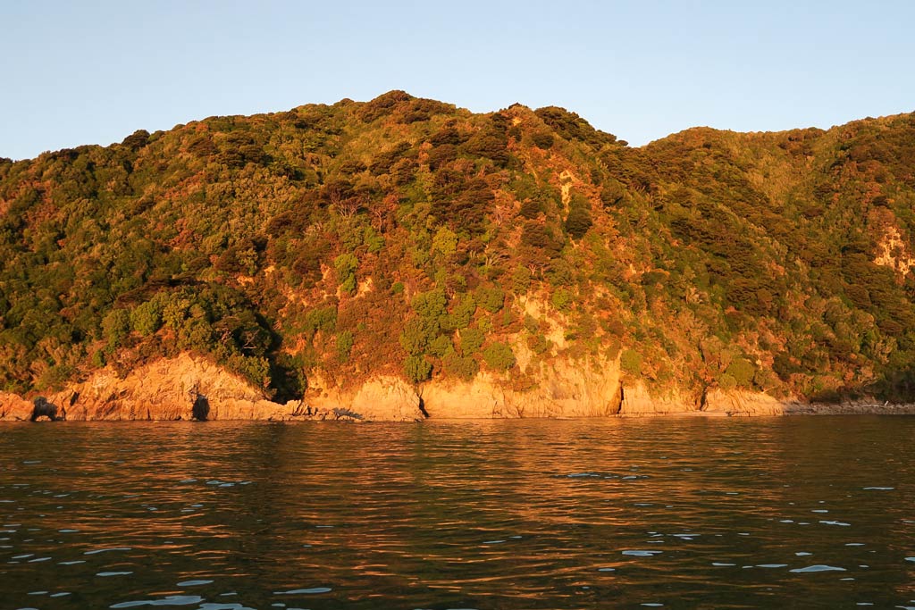
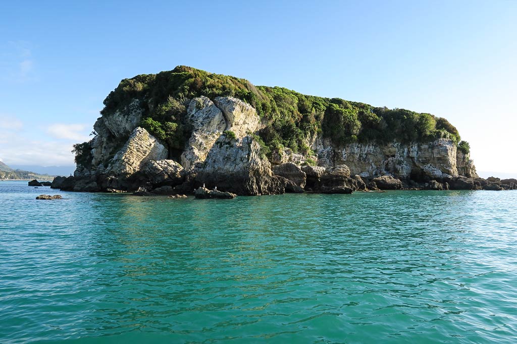
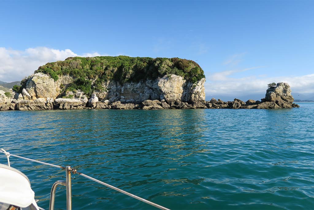
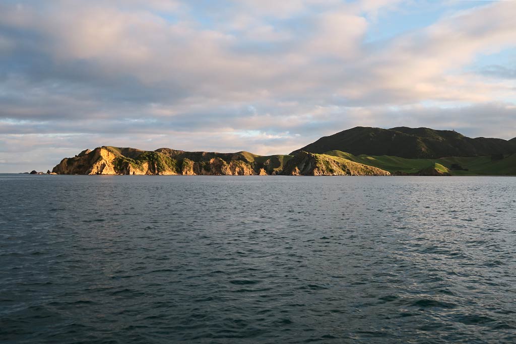
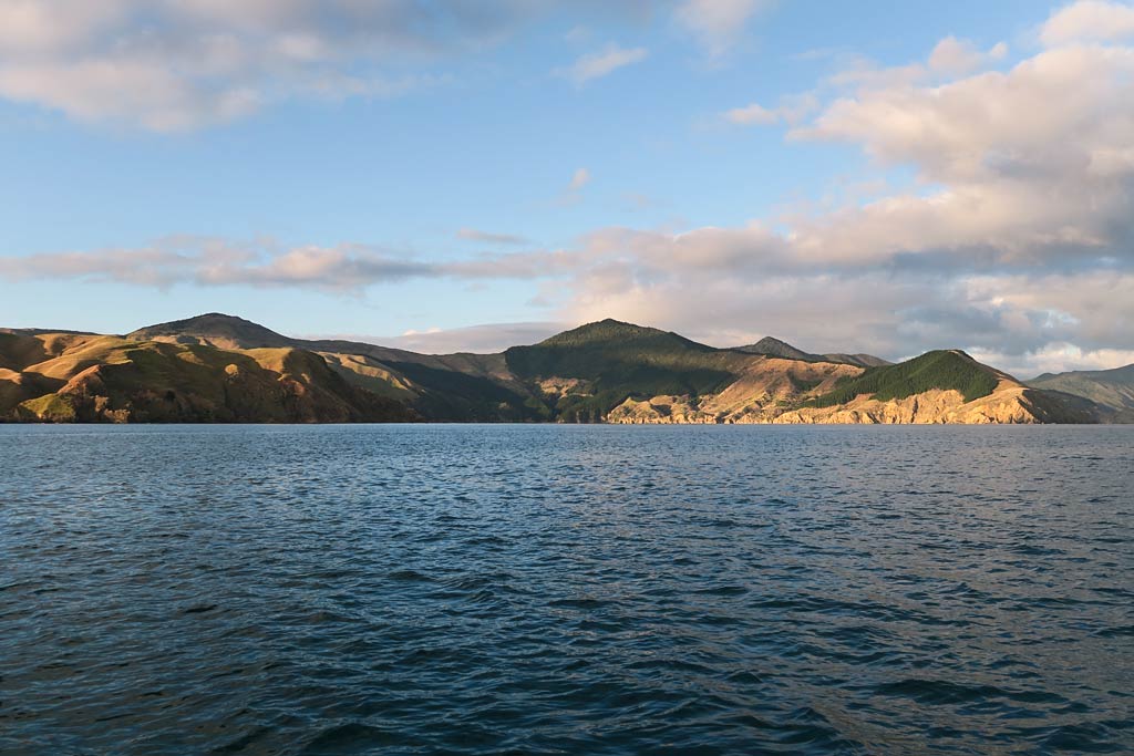
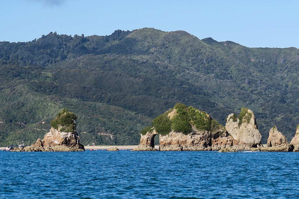
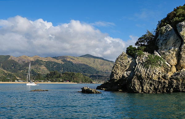
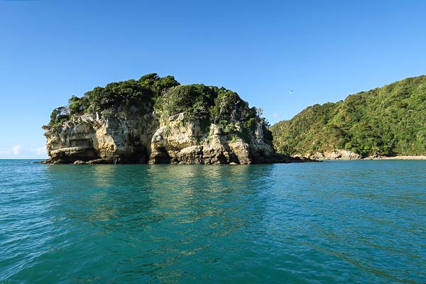
In spite of the many miles of shoreline, Golden Bay’s nicest beaches–Tata Beach and Liger Bay–are both clustered at the south end of the bay near the Tata Islands. The islands themselves are small and probably made of limestone, with steep white sides and flat tops covered with bushy green vegetation.
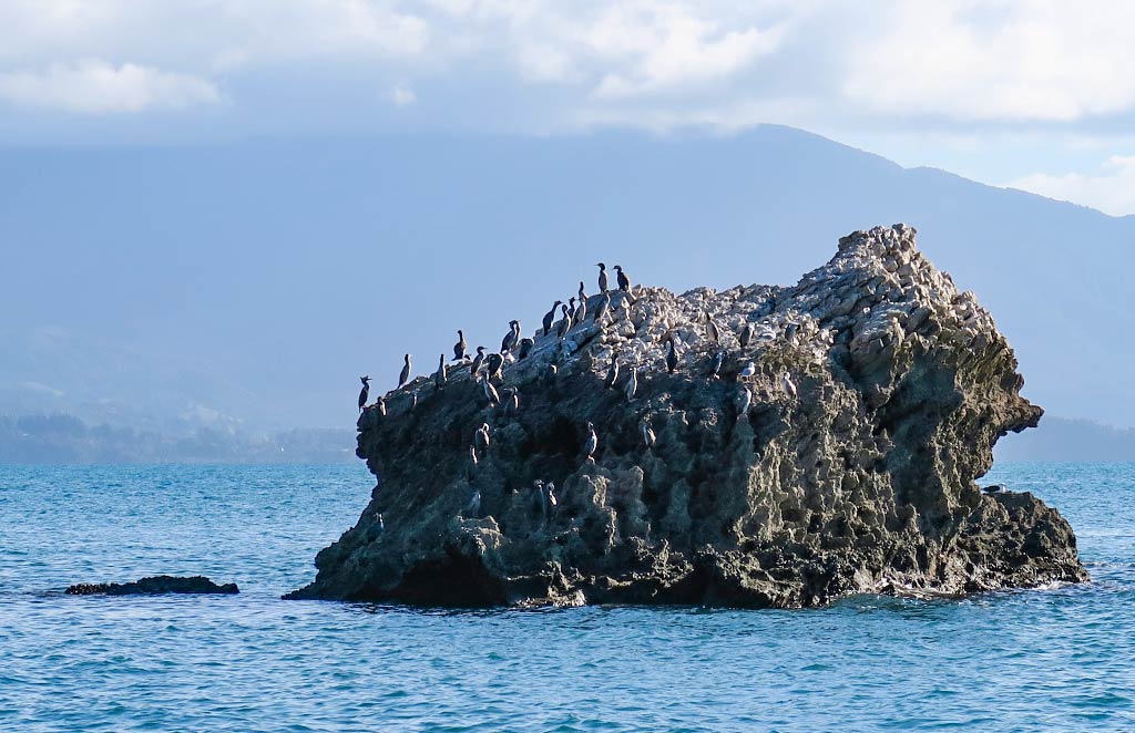
In all, we wouldn’t call Golden Bay one of the more beautiful places we’ve seen. The colors of the landscape are less vibrant, the beaches more brownish, the vegetation more dry, and a light marine haze filters the distant views. But it was unusual and interesting to see, and the Tata Islands are a haven for seabirds.
Below, a few photos of the area from our anchorage. Click to enlarge and scroll. –Cyndi
April 19, 2016
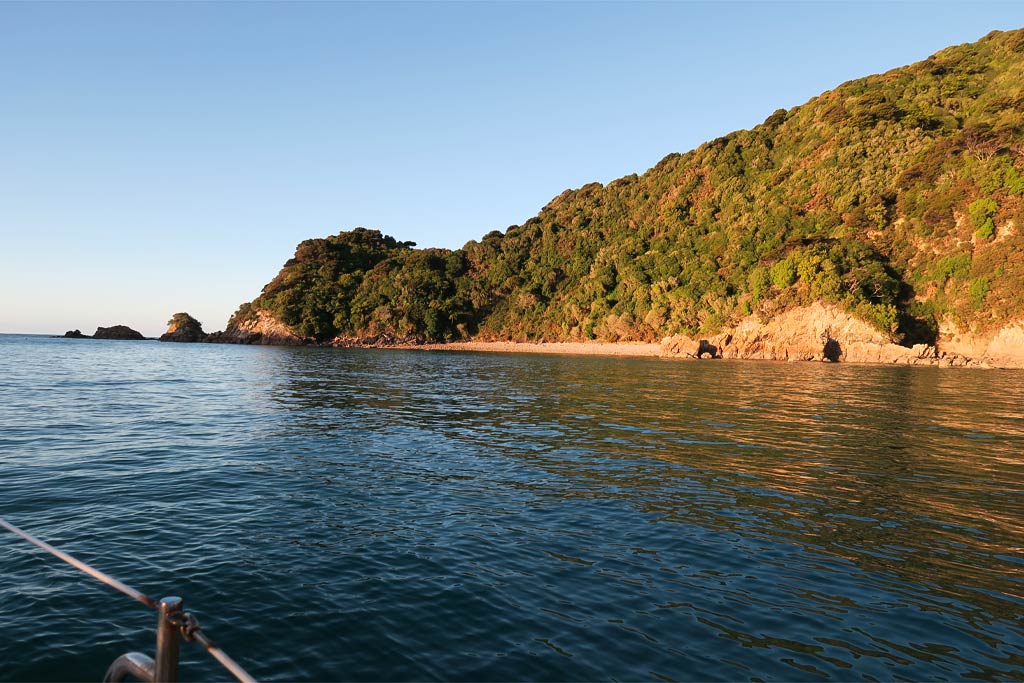
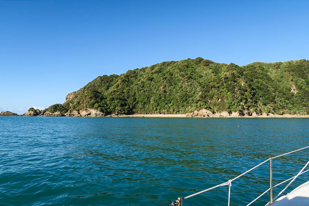
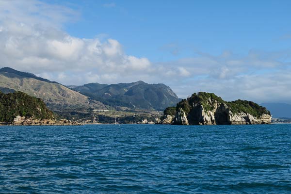
For several reasons, this is probably one of the least-visited areas of Abel Tasman National Park, at least for boaters. First, these islands are out of the way, separated from the rest of the park’s anchorages by the big headland (and several miles) between Tasman and Golden Bays. Second, being in an area open to prevailing winds, these small islands offer very little protection. Only in very calm conditions is it feasible to anchor overnight. Finally, the combination of shallow water and private moorings leave room for only one sailing yacht to anchor in the best area.
This anchorage is behind the southernmost of the Tata Islands, Ngawhiti Island, and it’s where we were headed. It was with great dismay that we spotted someone was already there! Not willing to give up, we decided to motor around behind little Motu Island and see if we could make something work. We found a reasonable spot, and while it was a little rollier than the first spot, it would do just fine. –Cyndi
April 19, 2016
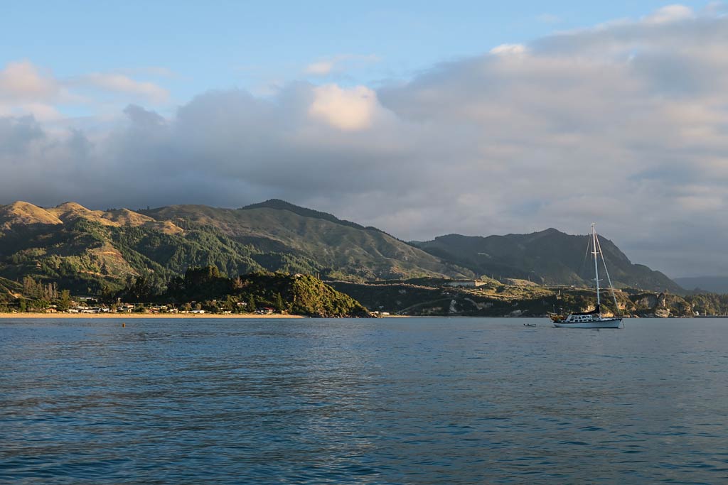
Now that we’d finished cruising the sounds, our next destination was Abel Tasman National Park, 40 miles across a large area of water known as Tasman Bay.
While most of the national park is located along the west side of Tasman Bay, it actually starts a bit further on, in an area called Golden Bay. It then runs along the coast for about 20 miles down to Kaiteriteri Bay at its south end. The area isn’t very big compared to the sounds, and we figured we could cover it in a week or two.
The map below is interactive. Click on the markers to see what’s what, or zoom in and out.
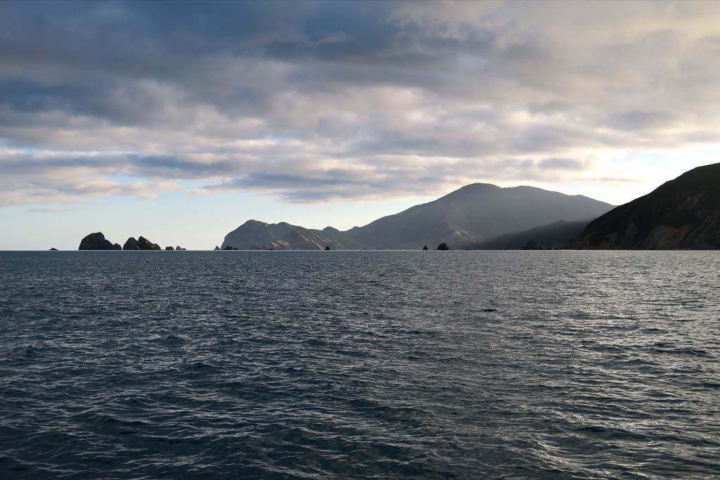
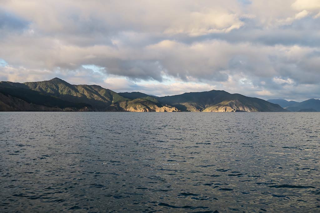
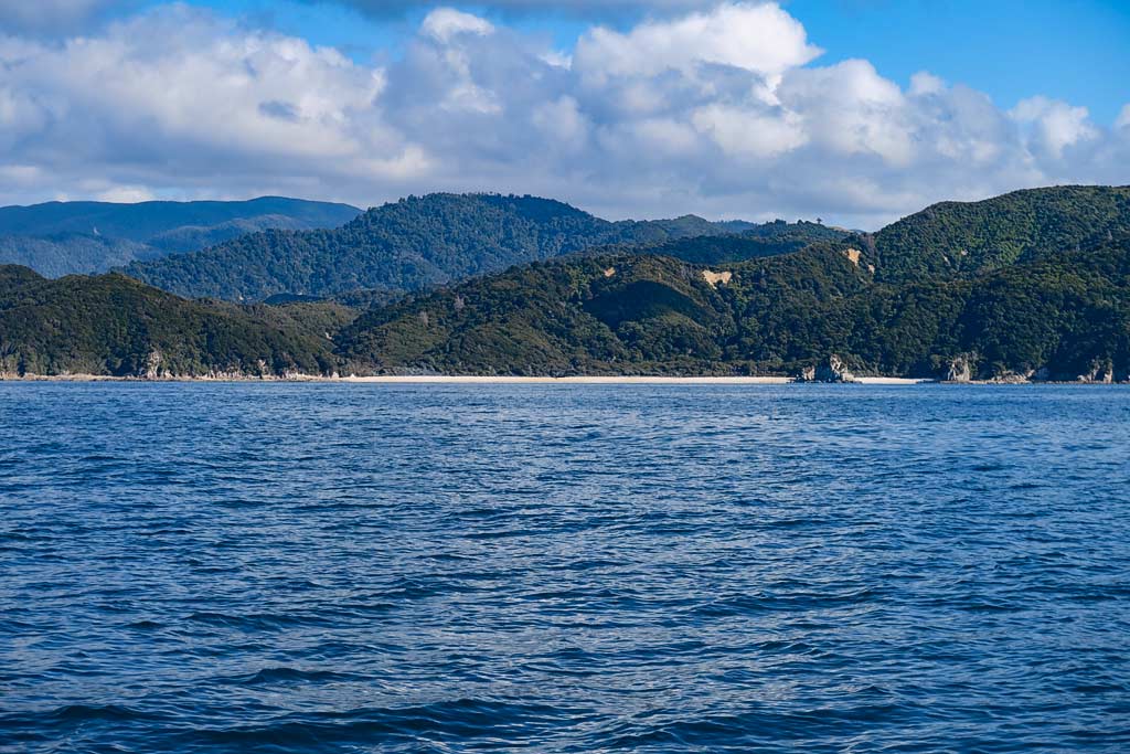
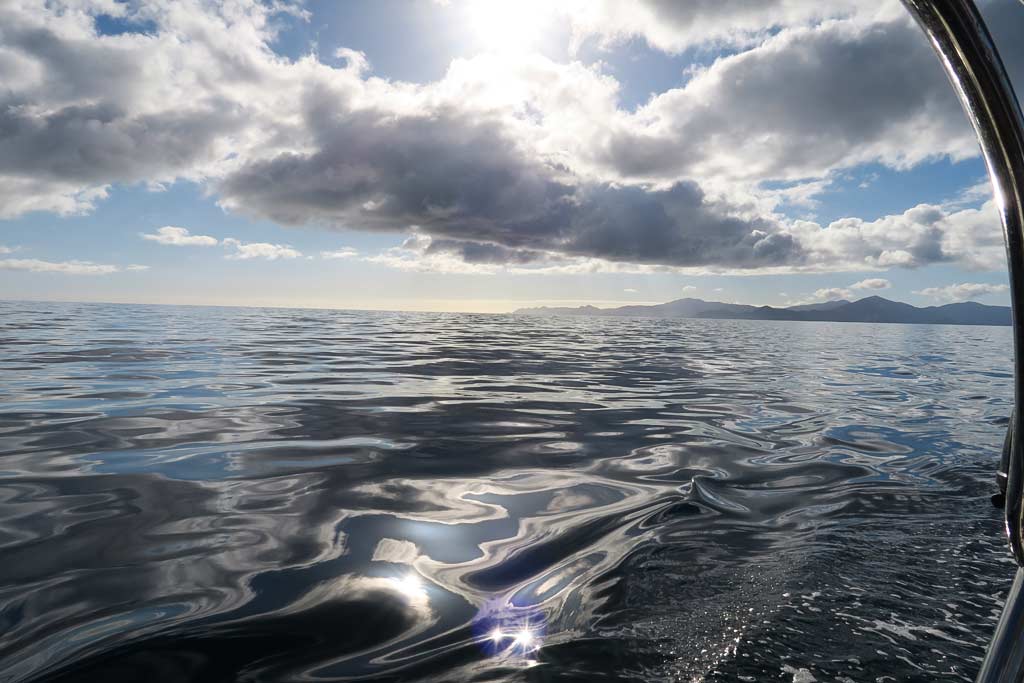
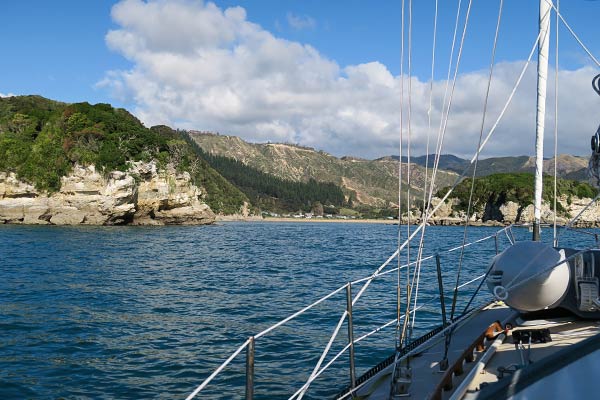
We decided to start our cruise on the far north end, motoring all the way into Golden Bay to two large rock formations known as the Tata Islands. It took all day to get there, but it was a pretty motor ride across calm seas.
The photos below start with an early morning departure showing the east coast of Tasman Bay and D’Urville Island, and ends with our first glimpses of the beaches and rock formations along the Abel Tasman coast. (Click to enlarge and scroll). –Cyndi