April 23, 2016
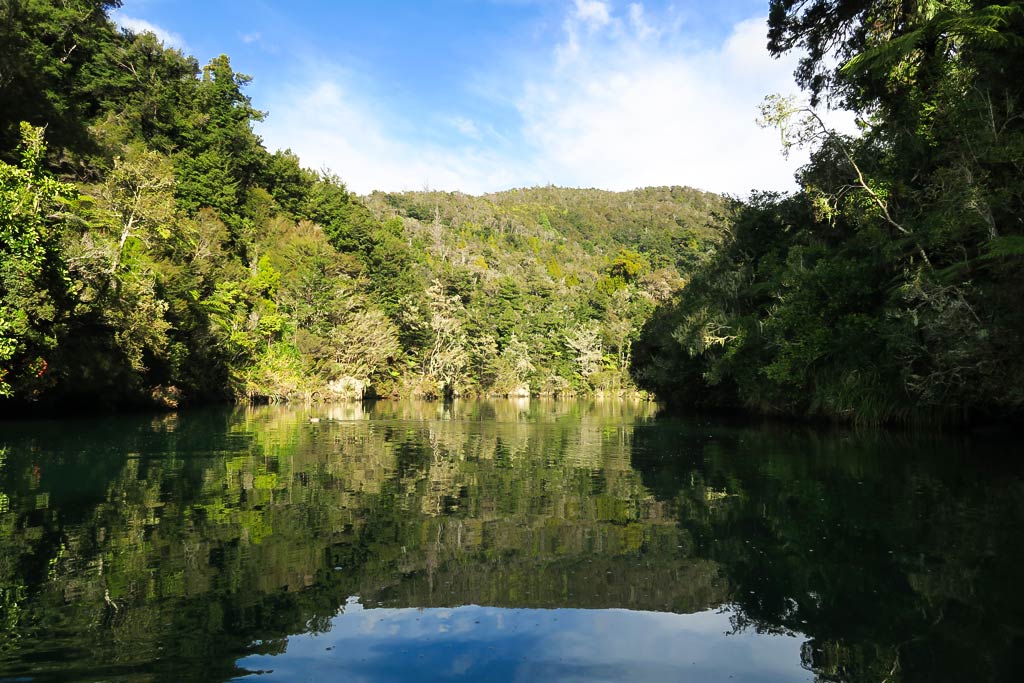
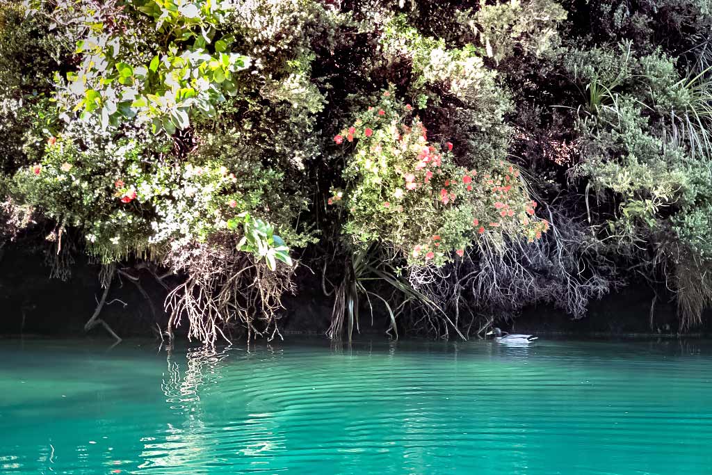
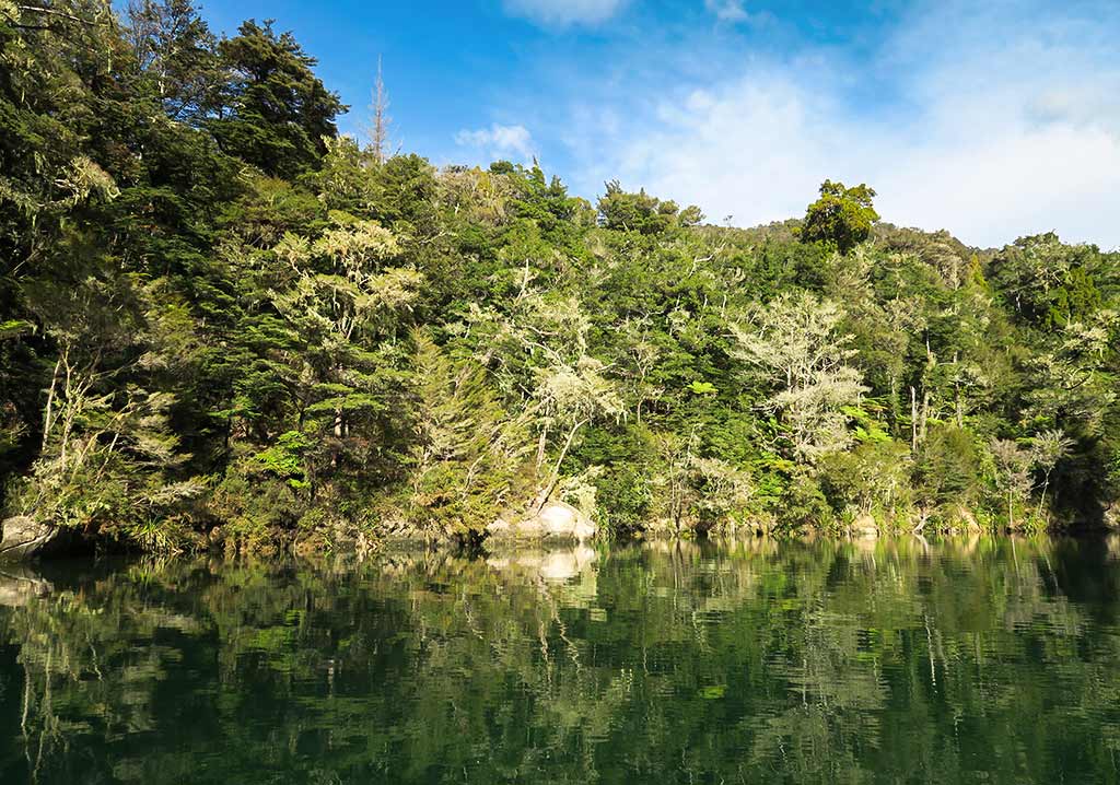
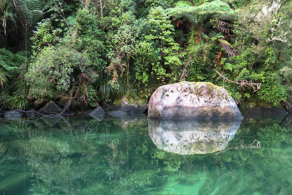
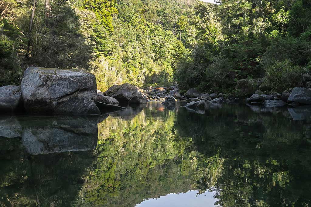
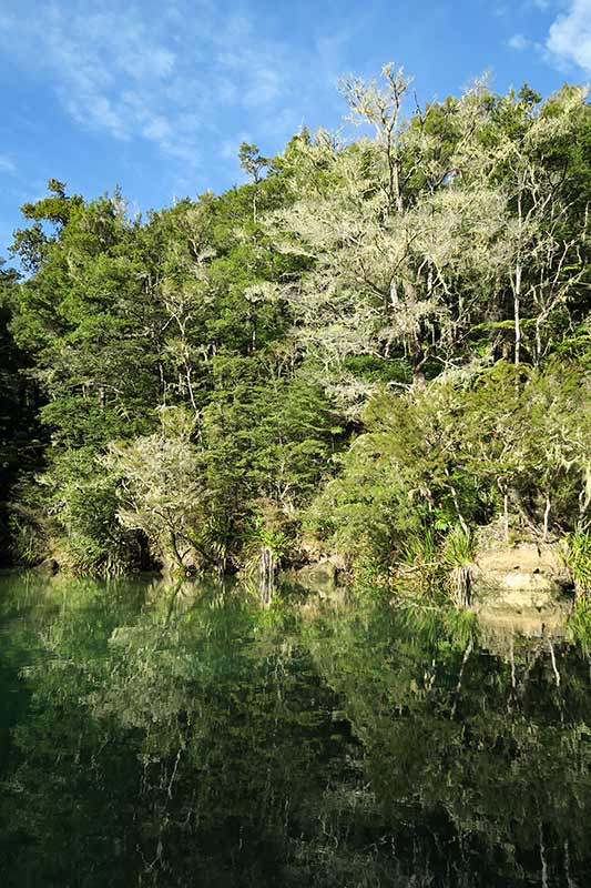
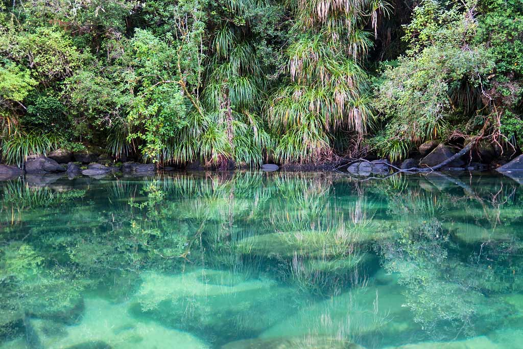
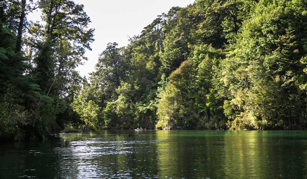
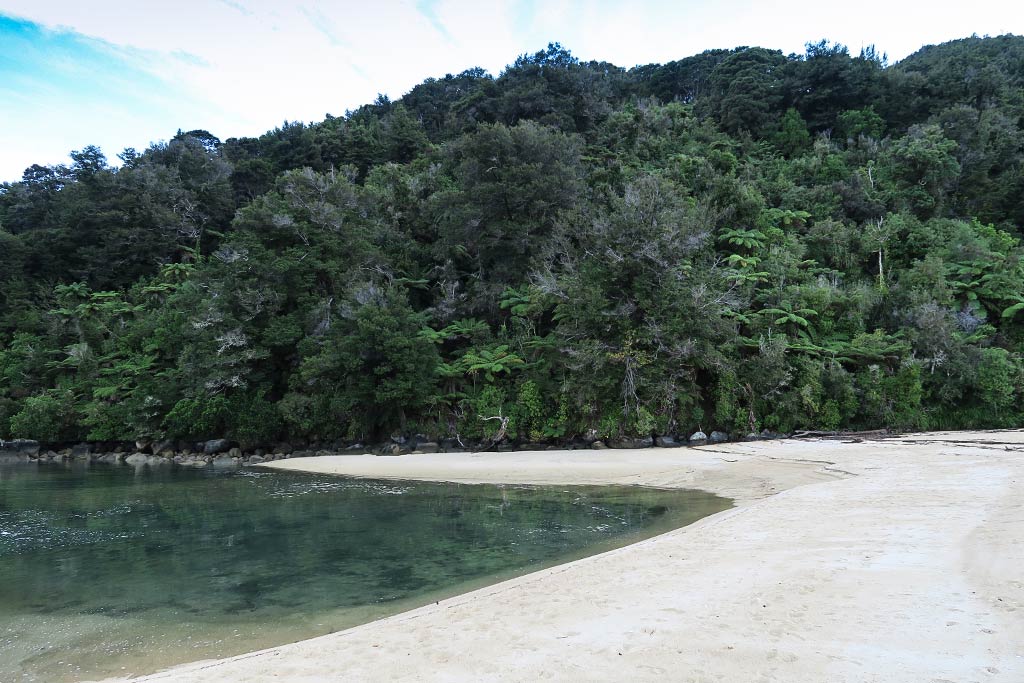
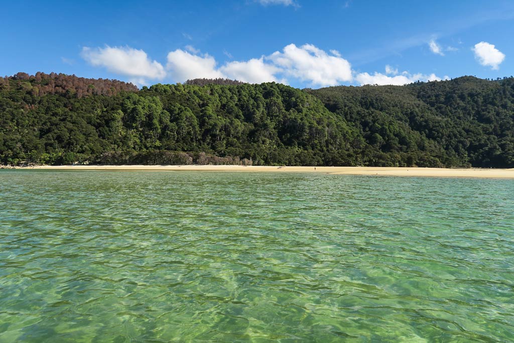
Falls River lies deep in a gorge, surrounded by the hills of Abel Tasman National Park. As we headed in, we found ourselves surrounded by walls of dense foliage. The mix of trees was striking, the leaves spanning every shade of green, the trunks ranging from dark to light. Some trees were tall, towering over us, while others were low and squat. All of it was highlighted by moss hanging off branches near the water. The shore was thick with ferns and keikei, and occasionally we’d spot the red flowers of a vine-tree called a rata. This profusion of plant life was magnificently reflected, mirror-like, in the still dark water.
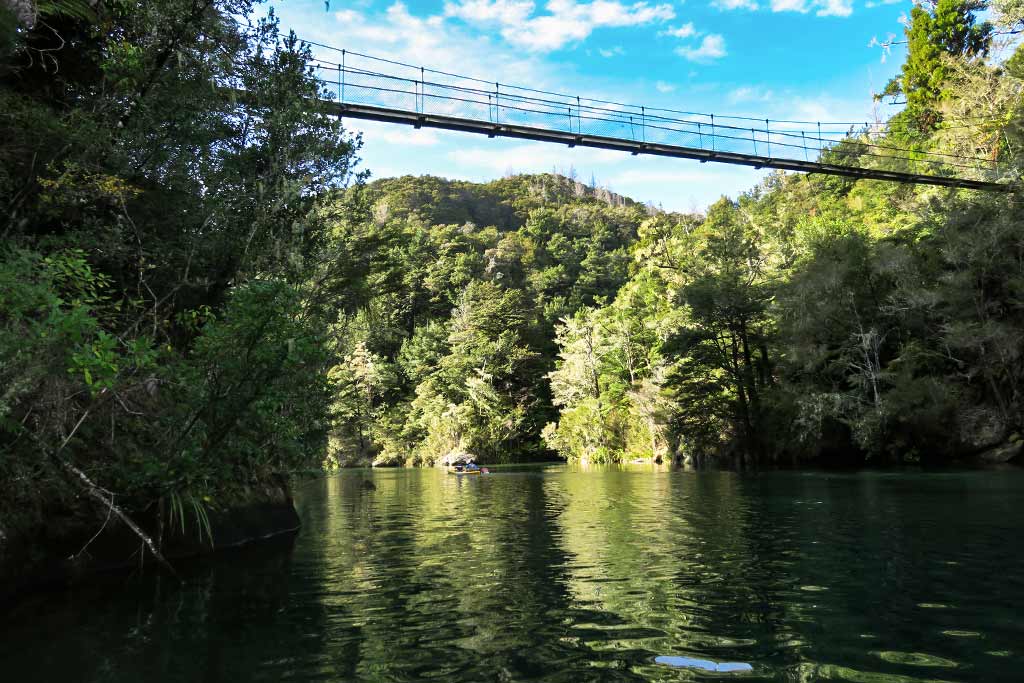
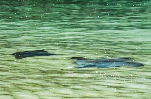
We made our way up the river further, discovering a suspension bridge high above us, the hikers looking down at us while we looked up at them. As we continued on, the water became green and so clear that we could see logs on the bottom. Boulders began to appear along the shoreline, getting more prolific as we neared the unnavigable end of the river. The quiet here was broken by the sound of rushing water over the rocks just beyond. We turned here and made our way back down the river, passing a couple of kayakers on the way.
In all, the trip up Falls River took about 20 minutes each way. When we started I’d been concerned about the coming front, whether Legacy was anchored well enough where she was, whether we had time to get to Frenchman Bay next door, etc. In circumstances like these, I generally try to quiet my mind and focus on my surroundings. There are times, however, when scenery can be so fantastic that it overwhelms the chatter in my head, like overloading a breaker. That chatter can’t compete with this new load of information, so it shuts down, leaving a void. In comes a feeling of having my breath taken away, of being awed, spellbound, and enchanted. Nothing else exists but the enormity of the vision I’m seeing. My body chemistry actually changes in response to the surroundings, totally without effort on my part. I guess I’d call this a state of rapture.
For all the beautiful places we see in our travels, this feeling is still surprisingly rare and very special. Falls River is definitely a very special place. –Cyndi
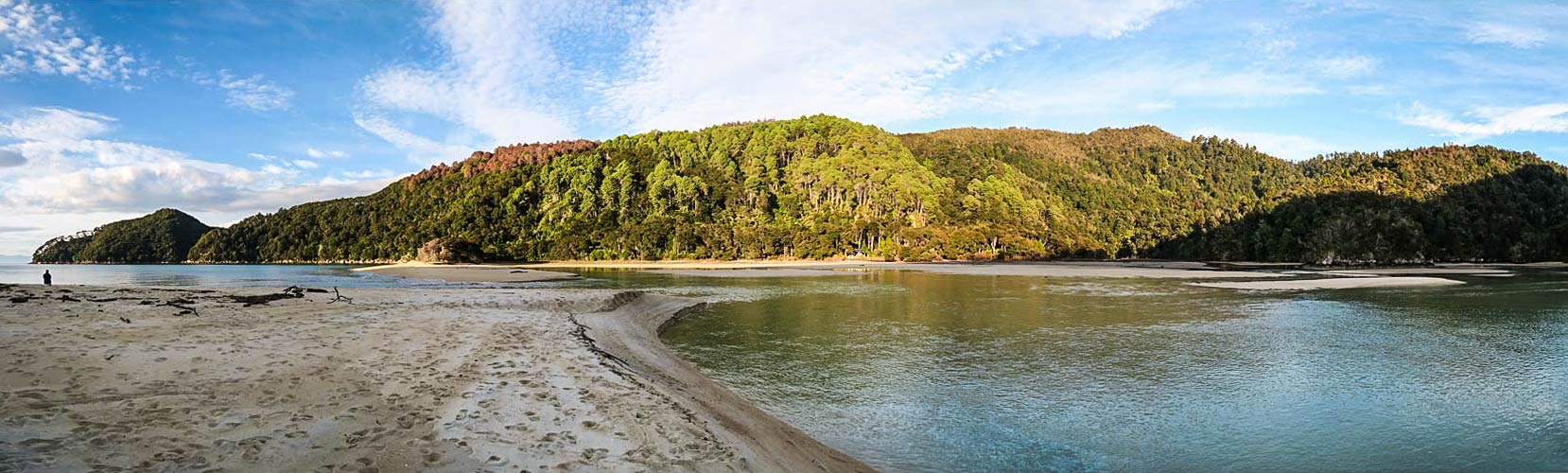
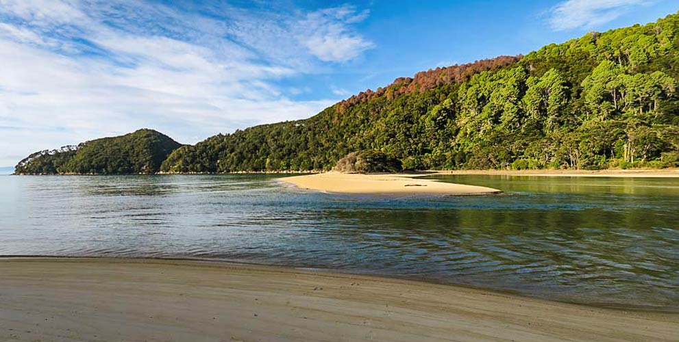
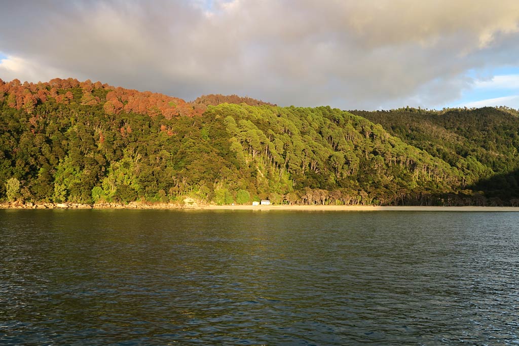
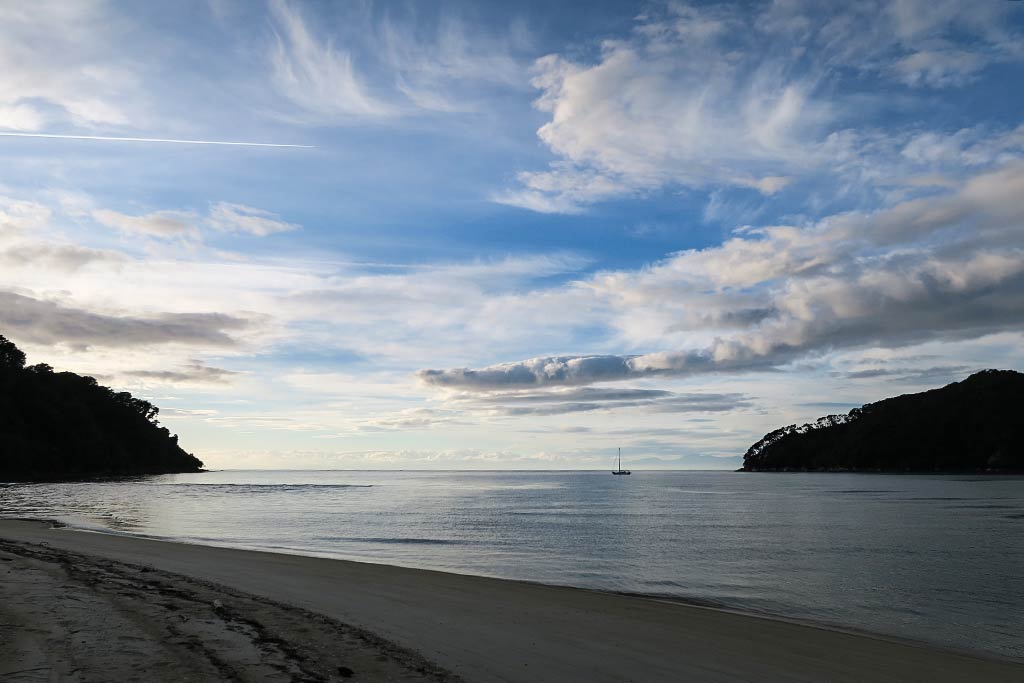
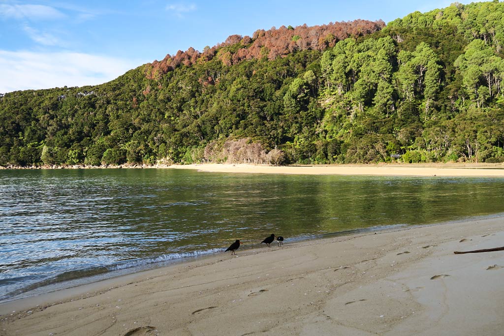
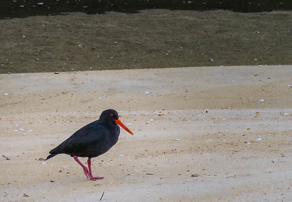
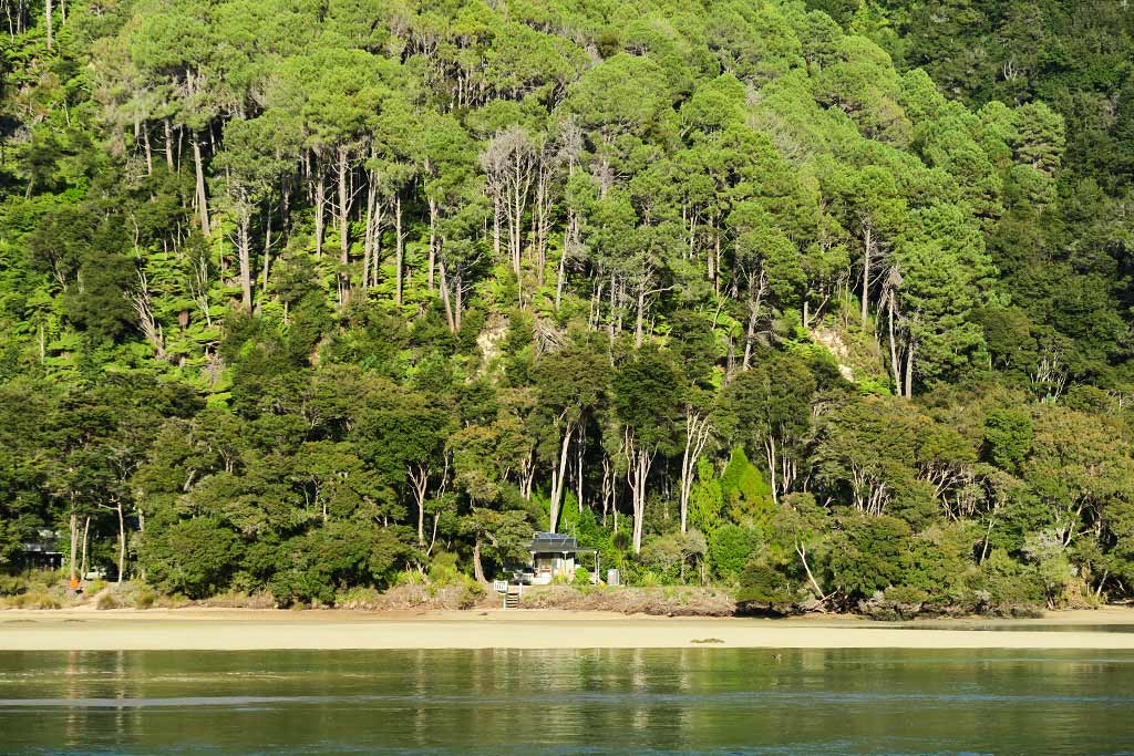
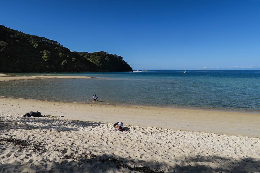
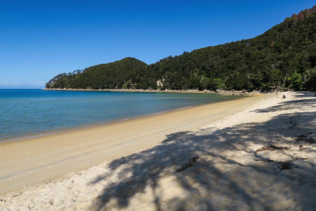
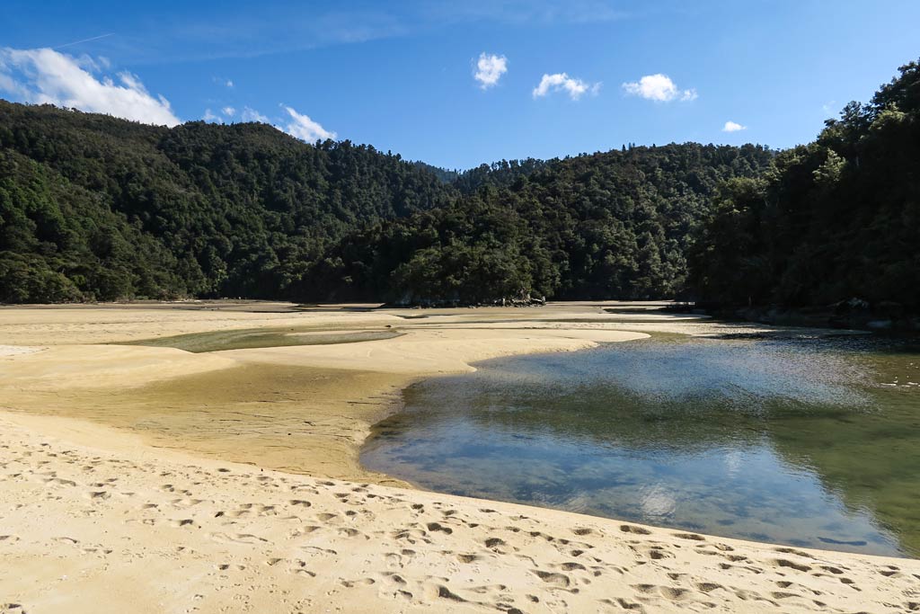
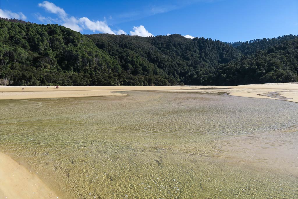
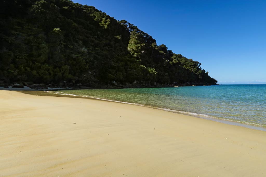
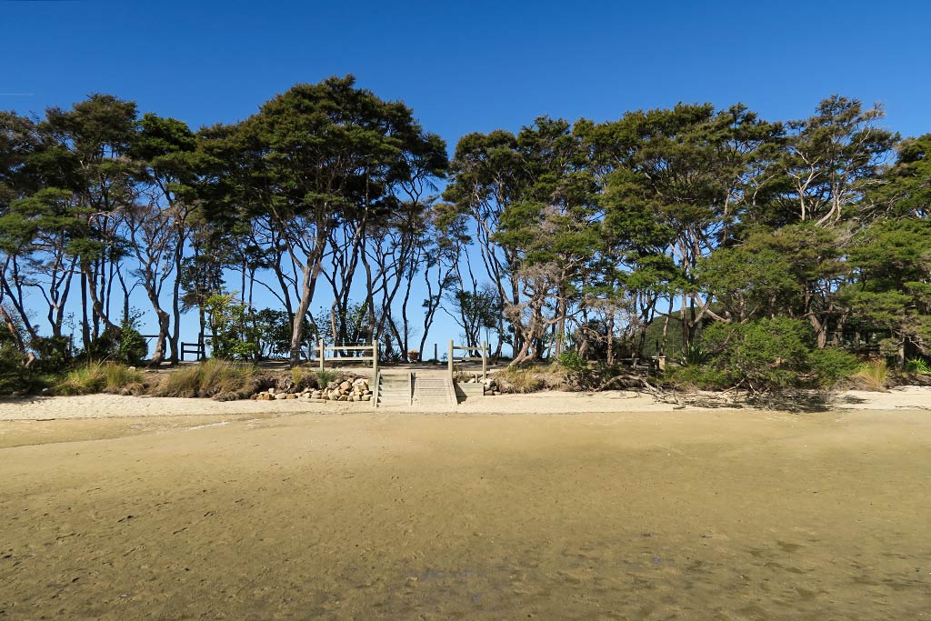
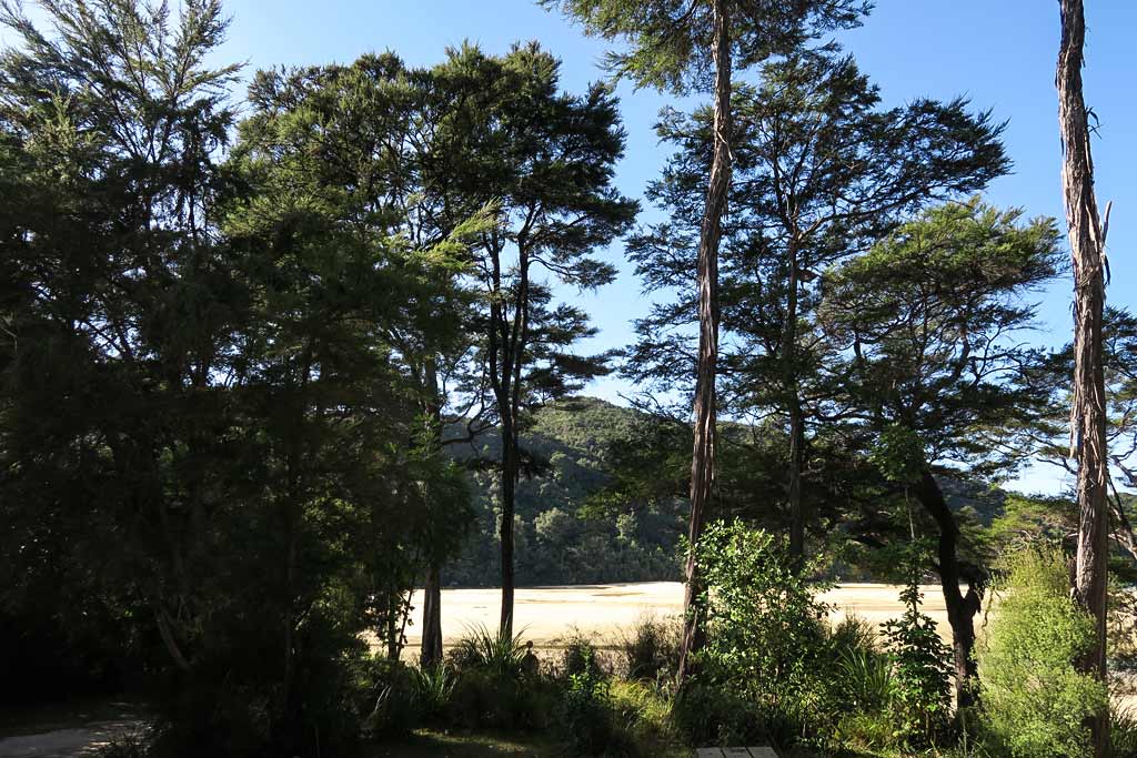
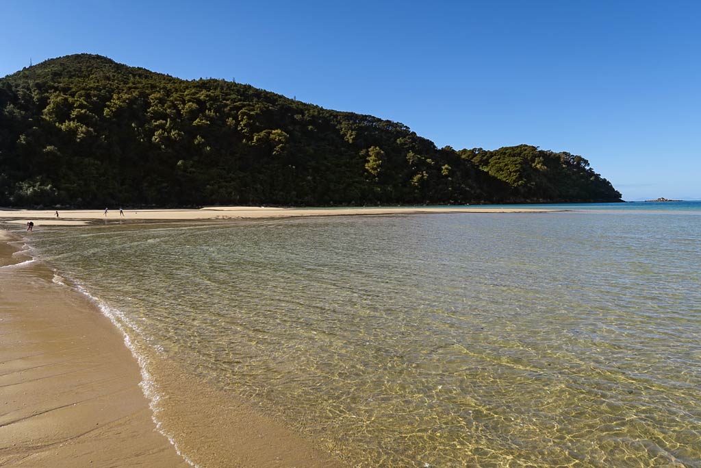
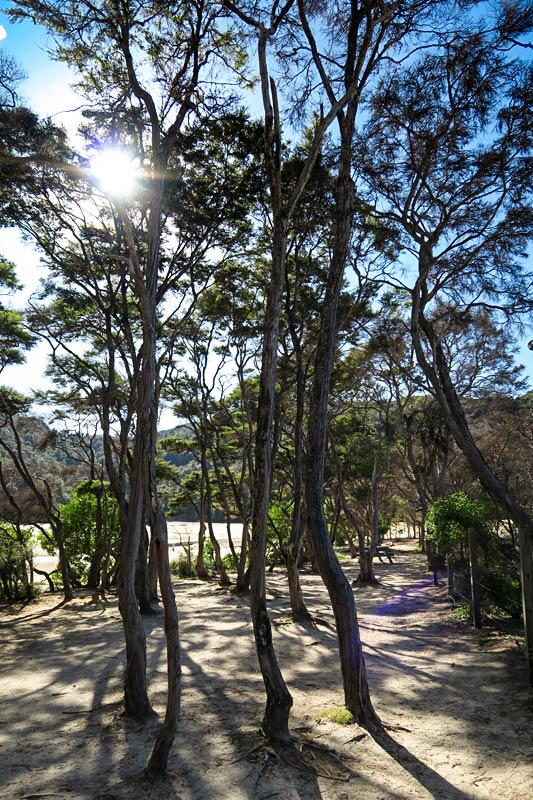
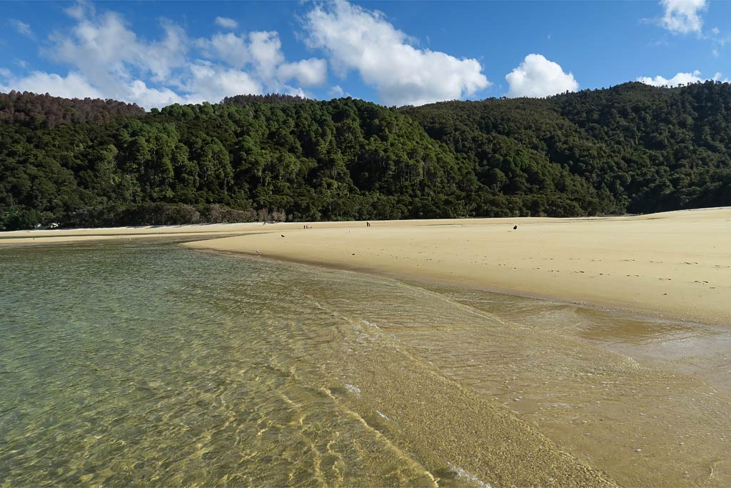
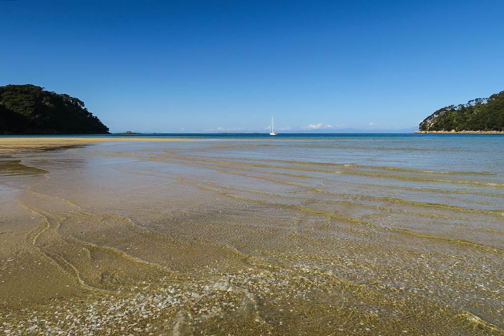
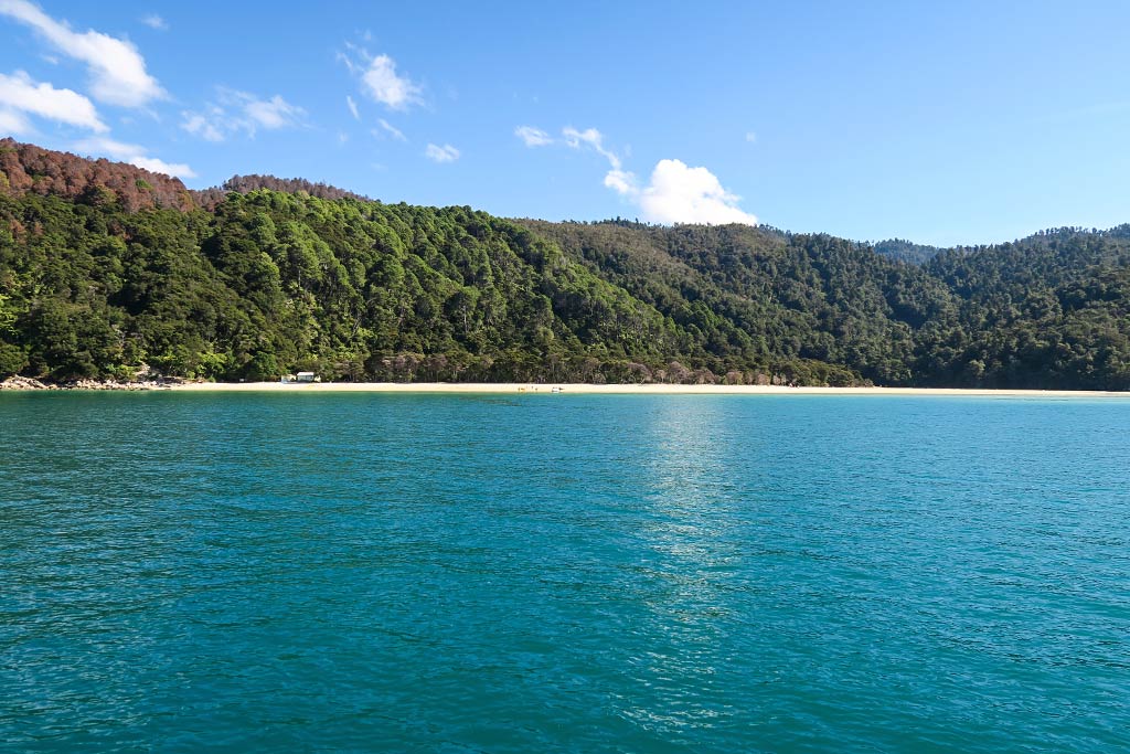
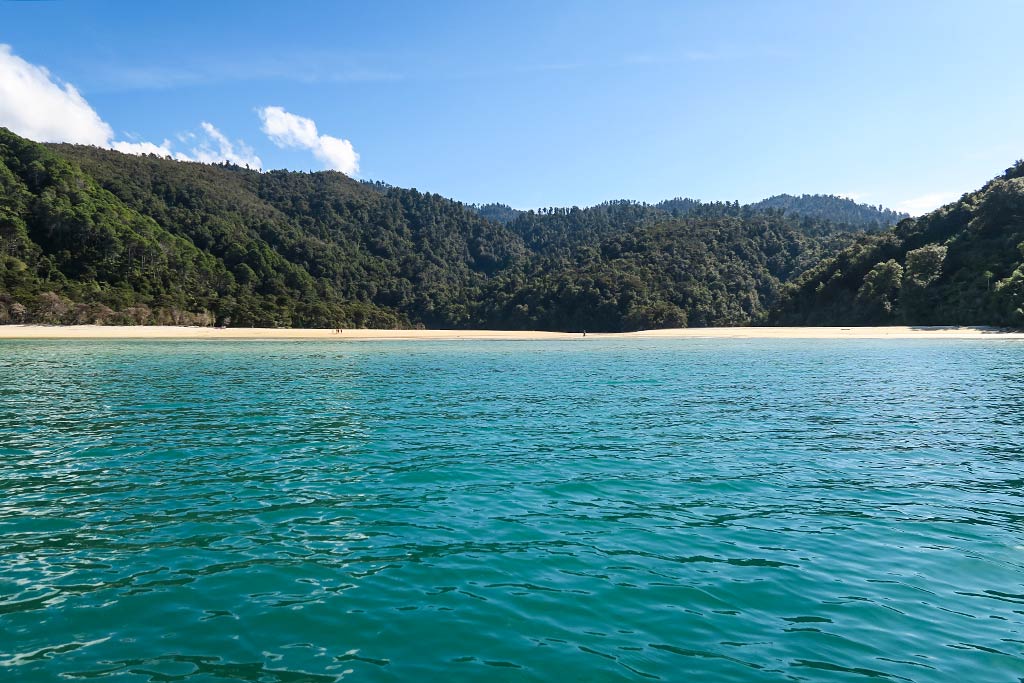
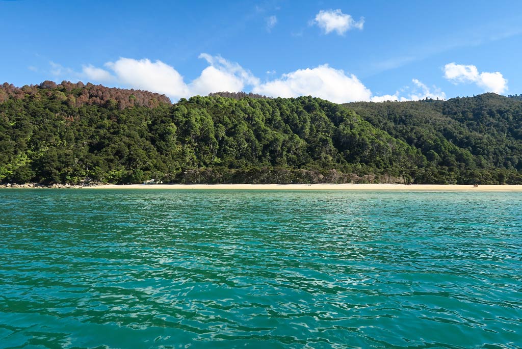
(Below, a gallery of photos; click to enlarge/scroll).