Heading to Brampton Islands National Park (Cumberland Islands, Queensland, Australia)

Published November 8, 2023
about September 19, 2022

Having transited the Egremont Passage between Keswick and St Bees islands, we were now headed north to Brampton Islands National Park, consisting of Brampton Island and neighboring Carlisle Island.

In some ways, this area would be similar to where we’d just been, featuring a pair of islands separated only by a narrow channel, with an intriguing outlying island to the east, Cockermouth Island. There was even an abandoned resort in the mix.

Below is a map of the park’s two islands. If you zoom out, you can see outlying Cockermouth Island.


Today, we were headed to the island with the resort, Brampton Island. Unlike Keswick, the anchorage here would be shallow, the lighter blue water marbled with white sand spits. Its striking appearance likely inspired the development of the now-historic resort overlooking the bay.

This resort closed in 2011 for remodeling and never reopened. It now sits in a state of decay, but its once-vibrant presence fostered a network of trails, including a circuit track and a path leading up to the 700-foot Brampton Peak.

Neighboring Carlisle Island holds less allure for visiting boaters, but it does have a camping area for landlubbers who manage to make their way out there. The channel between Brampton and Carlisle Island is shallow, navigable only for very small boats at high tide.

Today’s 14-mile trip from Keswick Island to our chosen anchorage at Brampton would be under motor, taking about 3 hours since we’d have no wind assistance. The morning was completely still and already warm enough to turn on our misters.

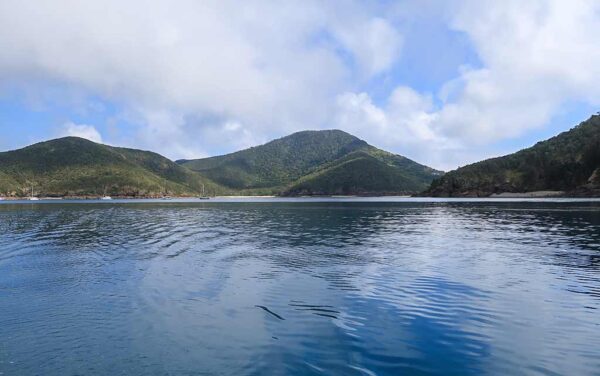
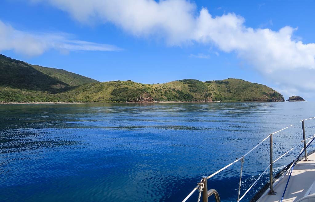
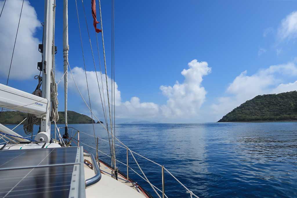
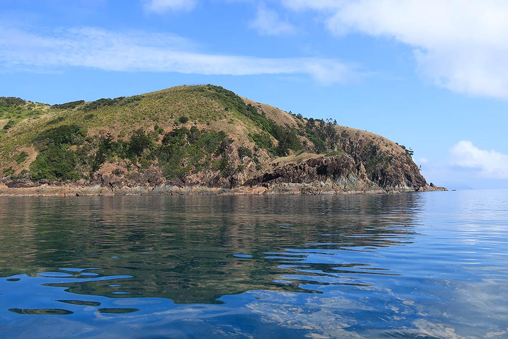
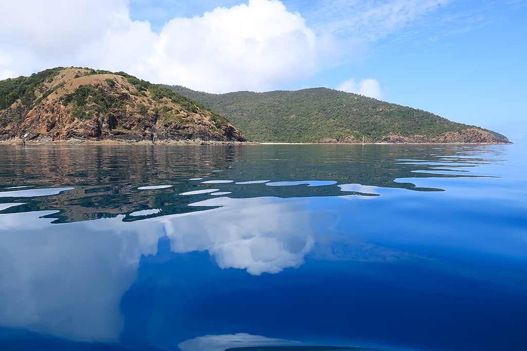
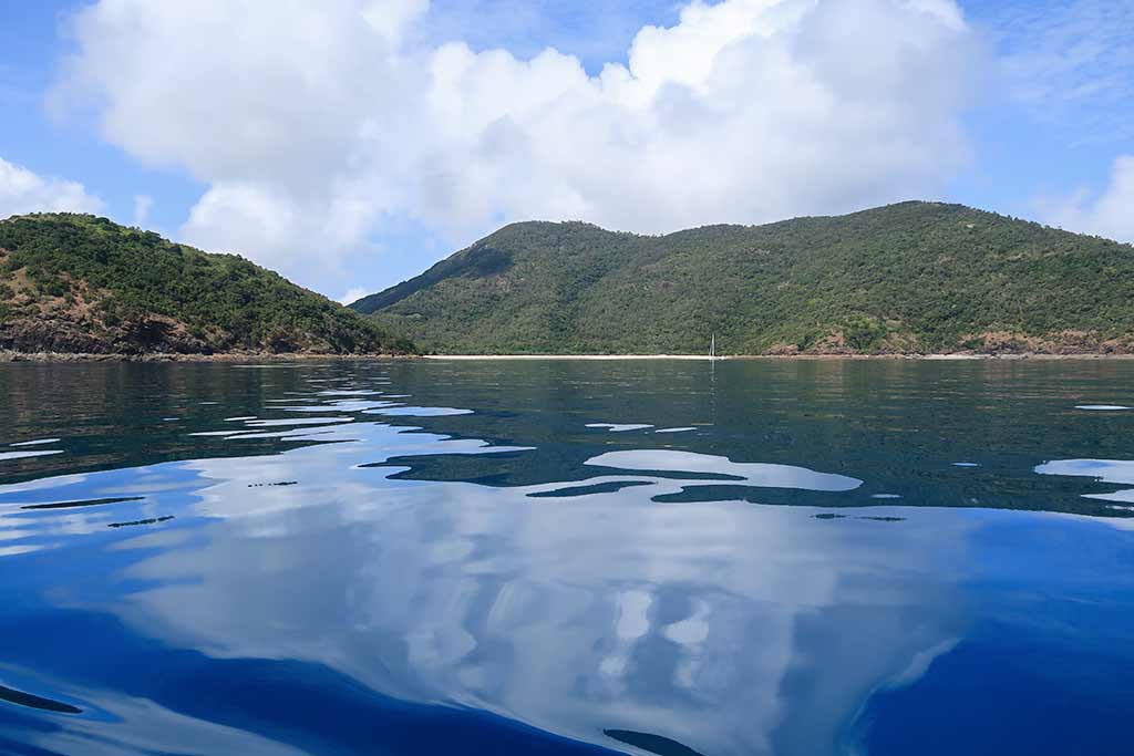
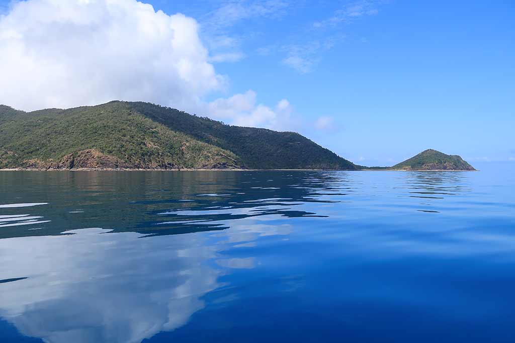
The sea was still and glassy, creating mirror-like reflections of the clouds above it. The somewhat misty sky gave the scene a dreamy effect, the sky seeming to meld into the sea below. Below are some photos of the water and clouds . . .

Approaching Brampton and Carlisle islands from the south, they presented a striking appearance–a mosaic of hills covered by bushland and rain forest.

We noticed one yacht enjoying Brampton’s south anchorage featuring three visible beaches, causing me to second guess our decision not to stop there.
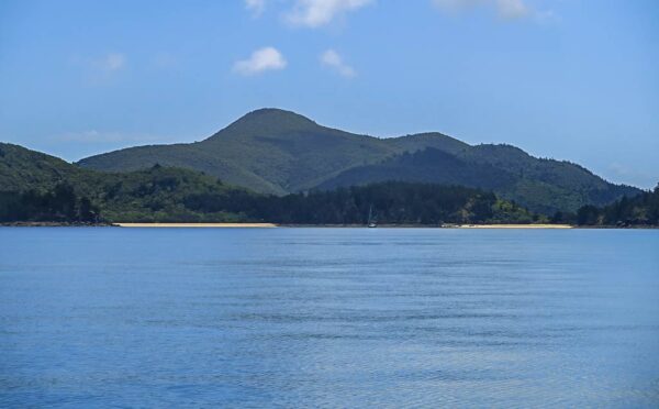
Brampton Island’s south side anchorage was tempting.

However, I really wanted to see the old resort and beach on the north side, and weather-wise it was a perfect time to do so. We continued on.

Once we passed the west headland, we turned and headed along the island’s north side. This region was dominated by a single, elongated hill with a graceful peak. It tapered down to a sandy point that marked the passage between the islands. This white sand point was accentuated by a long sand spit that stretched towards Carlisle island. It wouldn’t surprise me to learn a person could walk from one island to the along this sand spit and adjoining sand bars at low tide.

Below, a map of the area . . .


Carlisle island had a much higher hill, a mountain actually, lush and green as it must see a good deal of rain. It, too, sloped down to its own sandy point at the channel’s entrance.

Below are some drone photos of the area. To me, the photos capture not only the look, but the feeling of this place.

We motored into our anchorage, which was bordered by a sand spit connecting Brampton to a little islet in the bay, Pelican Island. Here, we found clear blue-green water covering a sand bottom, and I was excited to notice sea turtles! We soon discovered they were actually residents of this bay, often visible from our boat. Below are a few photos of the anchorage from our boat . . .

After dropping anchor, I paused to take in the surroundings. We had an expansive view of the north horizon, dotted with distant islands both large and small. The shore along our anchorage was rocky all the way to the sand spit, but beyond the spit was a beach stretching to the sandy point, backed by dense bush forest and the profusion of palm trees surrounding the resort.

We could hear some parrot-y squawks and whoop-whoops emanating from the island, but the only birds we glimpsed were crows. This place had all the ingredients to be enchanting, but instead it felt lonely and maybe a tad desolate. Maybe the dilapidated resort combined with flocks of cawing crows gave it a weird energy.

As a rule, abandoned resorts retain a caretaker to safeguard the place, and this place was no exception. We decided to go ashore after having some lunch for a better view of the property, but we’d take care not to cross the line into trespassing. I also hoped to check out one of the trails, perhaps even walk up the hill a ways. With today’s heat, however, neither of us felt up for the long walk to the peak.

It was also too hot to have our lunch outside. So we stayed below and fetched the large fan we rely on in warm weather—sometimes setting it to blow air directly on us, at other times adjusting it to circulate the air through the boat. Today it did the trick, keeping us cool as we munched on bagel and lox sandwiches, one of my favorite things to eat when cruising. Admittedly smoked salmon is a bit pricey, but for a lunch that’s easy to make, soul-satisfying, and somewhat nutritious, it’s worth the extra expense.

After lunch, it was time to explore ashore. –Cyndi

Tekaan Telu Waterfall

November 5, 2023

We took a little overnight round-trip a few days ago. The highlight was this waterfall.

Here’s an interactive Google map that shows where we went…


The hike (aka death march) to the waterfall was a little more than advertised. While it was up and down hills for almost a kilometer to get to the falls, it seemed like it was all uphill on the way back. I’m pretty proud of myself—I only stopped to rest 63 times!

The waterfall was part of a larger plan. We went to a mountain town called Tomohon where we spent the night. We stopped at a couple of pretty lakes to soak in the views and try some local specialties.

The local specialties? Snail satay, freshwater lobster (or crayfish), a specialty pork satay, and something like a cookie called cucur. All amazing.

Supplemental reading: More about drones…

I will say that flying the drone at the waterfall very much detracted from the “waterfall experience.” While I was writing the above, I asked myself how the waterfall made me feel. The answer was that the majesty I experienced was more after-the-fact, when editing the video.

We’ve seen quite a few waterfalls while cruising. Some of them were in-your-face, water spraying, thundering monsters. Some were delicate and gentle. This one was probably all of those things in one. There was a very high, very light flowing cascade on our left. Next was a water mist falls-very delicate and also very beautiful.  The two falls on the right angled towards each other and were very powerful. I’m sure if we’d had the strength to hike to the bottom, we would have been pleasantly soaked from the spray.

But those observations came after the fact for me. At the time and in the moment, I was busy flying the drone (it was a very exciting flight). I’m glad I did it and I’m so happy with the video, but I think that in the future, I need to do things differently. I think I’ll look first and fly later. I’ll try to take the time to experience the moment for myself, record it in my mind, then record it on the SD card!

Supplemental reading: Even cruisers get sick…

This might seem like a silly statement. Of course they do! But perhaps it’s not that obvious when so many share only the Pollyanna aspects and not the realities. I wasn’t feeling all that well when we left on the trip. I had a headache and stomach issues. It got worse as the day went on. (I’m sure if I had felt better, I would have only needed 53 rest breaks on the next day’s waterfall hike!)

By late afternoon, at the hotel, I was burning up with a fever. I didn’t take my temperature but it was as bad as I’d ever experienced. I was under two heavy blankets, in the tropics, and still shaking almost to the point of convulsing. I took some ibuprofen and managed to fall asleep. What a relief that was.

The next morning, I was a lot better. We decided to just visit Tekaan Telu Falls and then head home, abandoning some of our planned sites as well as a grocery shopping trip in Manado.

It’s five days later as I write this and I’m about 80% better but now Cyndi is succumbing to the same bug. I hope she fights it off better than I did. Getting sick is just part of the cruising life, as it is in normal life. It might even be a little worse out here. We’re eating foods that are strange to us, drinking questionable water, and often around people who are just getting off long flights on the germ tubes (airplanes).

Since we’ve been in Indonesia—seven months now—we’ve fallen ill three times. Covid in Tual, a very bad flu in Sorong and now this. Neither of us are the kind to get sick often. I guess that’s not been true lately.

The moral of the story? I suppose you have to take the bad with the good!

-Rich

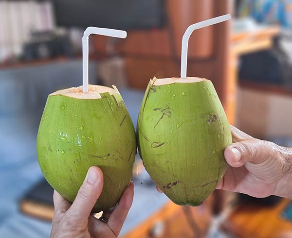
Update: We turn to the age old cure!

“Put the lime in the coconut and drink it all up.”

If you find this information useful, or entertaining, perhaps…

Transiting the Egremont Passage (Queensland, Australia)

Posted October 27, 2023
about September 19, 2022

This morning, we planned to head north via the Egremont Passage, the 1.5-mile-long channel between Keswick and St Bees Islands. There, I hoped to enjoy views of both islands, check out the anchorage within the passage, and then get a glimpse of Connie Bay on the north side of the island, the go-to anchorage during the trade wind season.

If we were really lucky, we might spot a whale as they often migrate through the passage. After exiting, we’d set course for Brampton Island, our next destination.

We sat outside, enjoying the morning. A flock of white cockatoos flew amid trees, squawking continuously, while pheasant coucals, not to be outdone, serenaded us with their whoop-whoop cries. An early morning misty fog had dissipated into small patches that hovered over the island. By the time we pulled up our anchor, it was sunny and the sea glassy calm.

Leaving the beautiful Basil Bay anchorage behind us.

The Egremont Passage was interesting to see. It was hilly, but the vegetation seemed drier in this area. We caught sight of the small airport and noticed the boat moorings which had once been here were now gone. No matter; this area, having been bulldozed to make way for the runway, wasn’t particularly attractive.

Further up the channel it was much nicer. There was an anchorage and possibly public moorings there, but it was hard to tell. The issue with anchoring here is the current running through the passage can be very strong, posing its own set of challenges. It would really be preferable to be on a mooring.

Below are a few photos with views of Keswick Island, taken along the Egremont Passage (click on any photo to enlarge).

We also had good views of St Bees Island. Like Keswick, it’s home to the area’s bees which produce distinctly good honey. St Bees also happens to be loaded with koalas, but sadly there are no trails from which to spot them. On the island’s south side, remnants of a small abandoned resort sit in a state of decay. For these reasons, we decided to give St Bees a pass.

It wasn’t long before we exited the passage. Alas, no whales, but we did get a great view of Connie Bay on Keswick’s north side. With a white-sand beach and hilly landscape, this bay is quite pretty, although in my opinion not as pretty as Basil Bay.

Our guidebook stated that Connie Bay tends to be rolly in prevailing southeast-wind conditions. I don’t quite understand why as I would think its north-side location, along with protection provided by St Bees Island, would keep it calm. But I’ve learned that in Queensland’s islands, swell can be relentless about finding its way into nooks and crannies. Below, a few photos of Connie Bay and the north side of Keswick Island.

Once through the pass, we’d proceed north to the next group of islands. There was one other island in this area we’d decided not to visit: Scawfell Island. It looked lovely and has a beautiful bay, but it lay east of us and would have been a detour. At this point, with the seasonal clock ticking, we wanted to maintain our steady northbound progress.

Coming to terms with the fact that we can’t do everything and must make choices is one of the challenging aspects of cruising –Cyndi

Facing Future: Sailing into the Zone of Misery (Queensland, Australia)

Posted October 25, 2023
about September, 2022

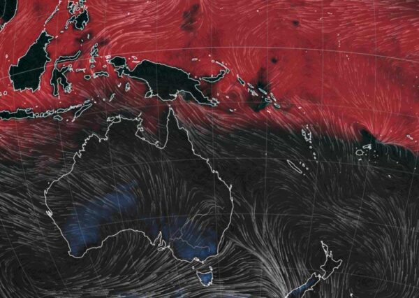
This is the zone of misery from earth.nullschool,net. The Zone of Misery shows what the air temperature feels like. Red areas indicate weather that’s uncomfortably hot, while blue is uncomfortably cold. No color (black) means conditions are reasonably comfortable. We’re usually in black areas, but this year we were headed into the red! On their website, select “MI” (misery index) to see this graphic.

Our first night in Queensland’s Cumberland Islands brought a sign that the season was changing—it was warm enough that we kept our companionway curtain open and turned up our fans.

For the past few years, we’ve made our yearly migration from New Zealand to the tropics late in the fall. Since winter is approaching by the time we arrive, the tropical weather has cooled, making it easy—and very enjoyable—to adjust to those temperatures.

When the time comes to  migrate from the tropics back to New Zealand, the temperatures are ramping up, and at times it can get uncomfortably hot. By the time we head south, we’re always looking forward to the cooler (yet warming) late-spring temperatures back in New Zealand.

This year, though, things would be different. We’d not only be remaining in the tropics as summer approached, we’d be heading even further north, making our way to Indonesia. But after spending 2 ½ years in New Zealand due to Covid, we’d grown more accustomed to cool temperatures. Naturally, I was worried about how we’d handle warmer weather. And as it was, I would not call us hot-weather-type people. We start to suffer as the temperatures climb.

Of the many challenges that lay ahead of us, living in a hot climate would be the biggest, and I wasn’t sure we’d be able to overcome this one. Years ago, talking to a friend, I worried about heading to someplace like Indonesia saying, “I just don’t know if we can handle the heat.” He advised us not to limit ourselves by thinking that way. I understood where he was coming from, but seeing Rich suffer a bout of heat exhaustion in Fiji, I knew it’s not always mind over matter. The human body will let you know its limitations, whether you want to have them or not—sometimes matter wins out over mind.

In preparation for Indonesia, I’d campaigned hard for us to get an air conditioner in New Zealand, not to cool off the entire boat but simply to cool the area over our bed during the hottest part of the day. Still, the air conditioner would consume a lot of electricity, so we’d run it only in dire need, certainly not every day. It wouldn’t be much, but I hoped it would enable us to cope.

For the moment, my focus was on helping us physically acclimate to the heat, hoping we could do so by adjusting to the rising Queensland temperatures as we traveled north. We’d have to think differently, though: instead of suffering and thinking, “We’ll be cooler soon,” we needed to think, “OK, this is my life, so how do I make myself comfortable?” It was an intimidating prospect, to say the least.

At this point the daytime temperatures weren’t yet that hot, but the nights were getting warmer than we were used to. Our adjustment would begin with sleeping in warmer air, a good place to start.

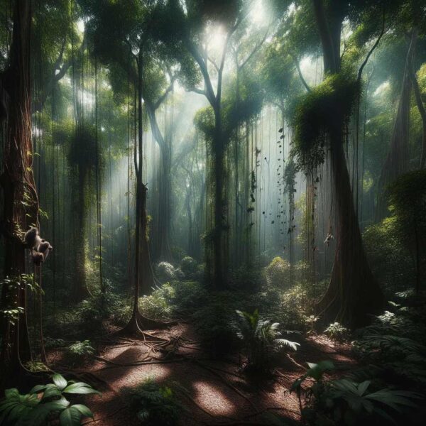
Below, Rich collaborated with DALL-E 3 and ChatGPT to create an image of a steamy tropical jungle. Rich sees it as misty cool, but I can see it as hot and steamy. In any case, its beauty shows how one might want to tolerate the heat to see such a beautiful place. –Cyndi

Image by DALL-E 3

Evening at Keswick Island (The Cumberland Islands, Queensland, Australia)

Posted October 24, 2023
about September 18, 2022

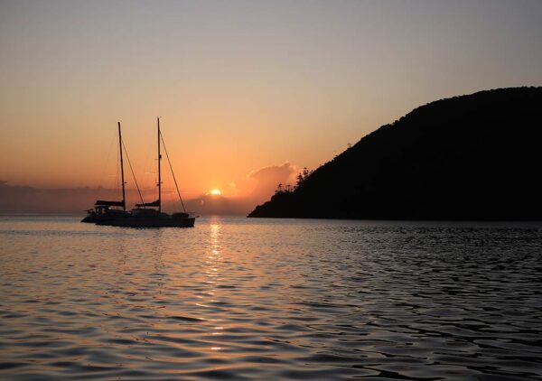
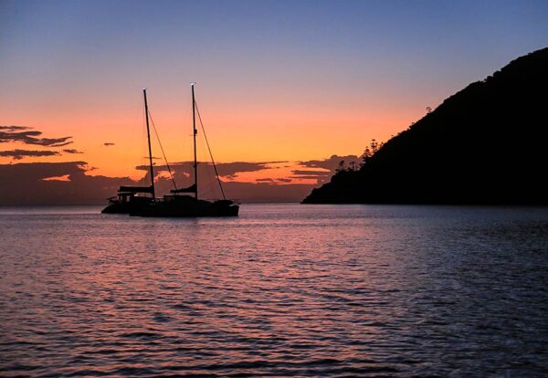
Although more boats arrived as the day went on, our anchorage in Basil Bay never felt crowded. Dinner in our cockpit was followed by a bottle of lovely Australian Cabernet as we lingered outside, watching the evening deepen. The backdrop was beautiful—a sunset painted in vibrant shades of peach and lavender-blue. Boats peacefully floated in the bay, and Keswick’s night birds began their haunting cries. I felt grateful we had chosen to visit this special place. -Cyndi