April 6, 2016

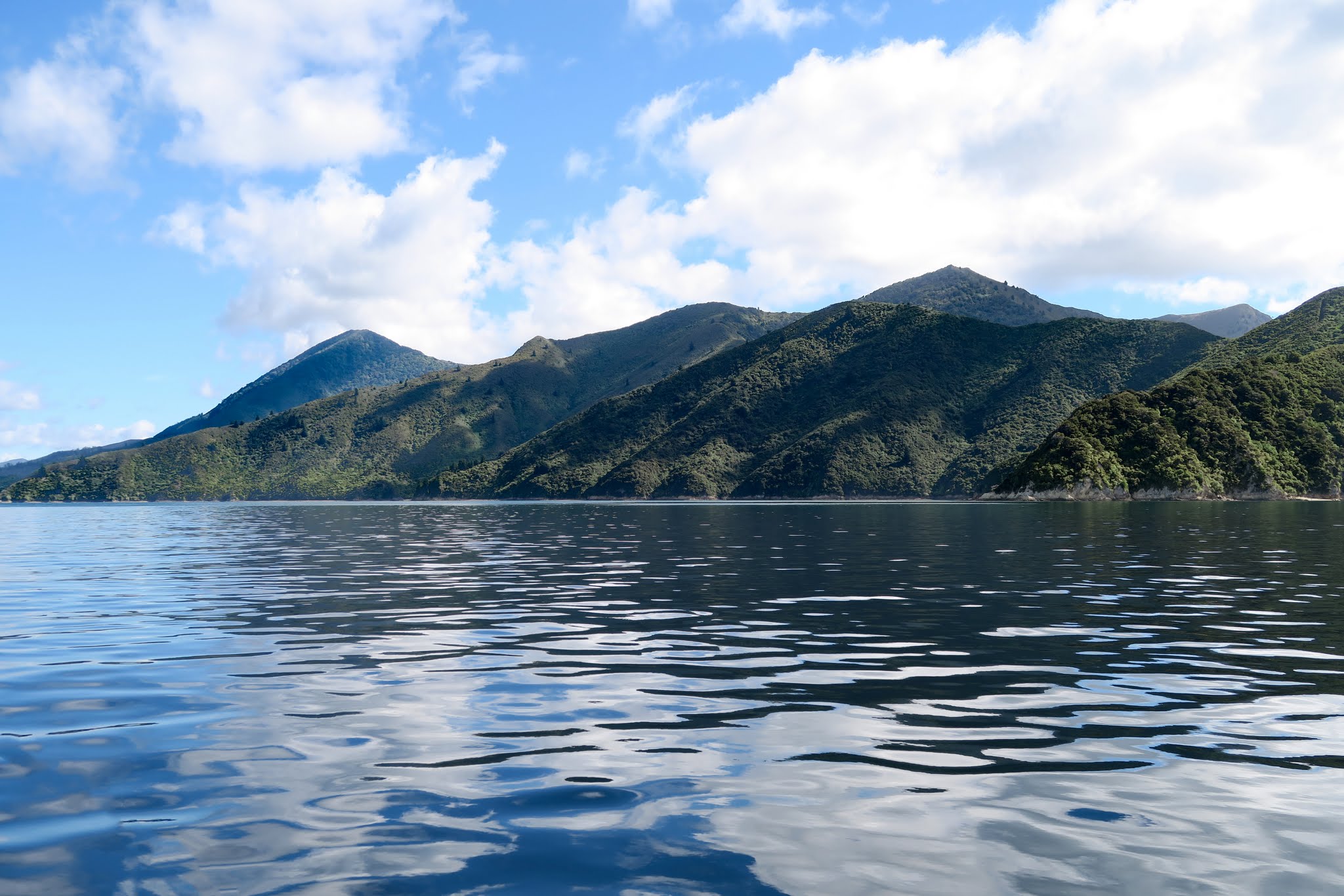
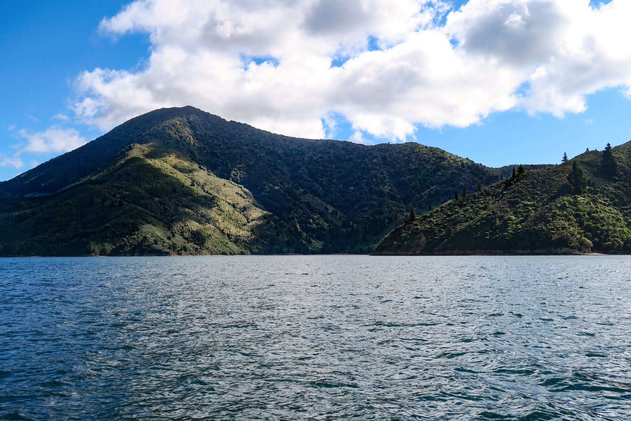
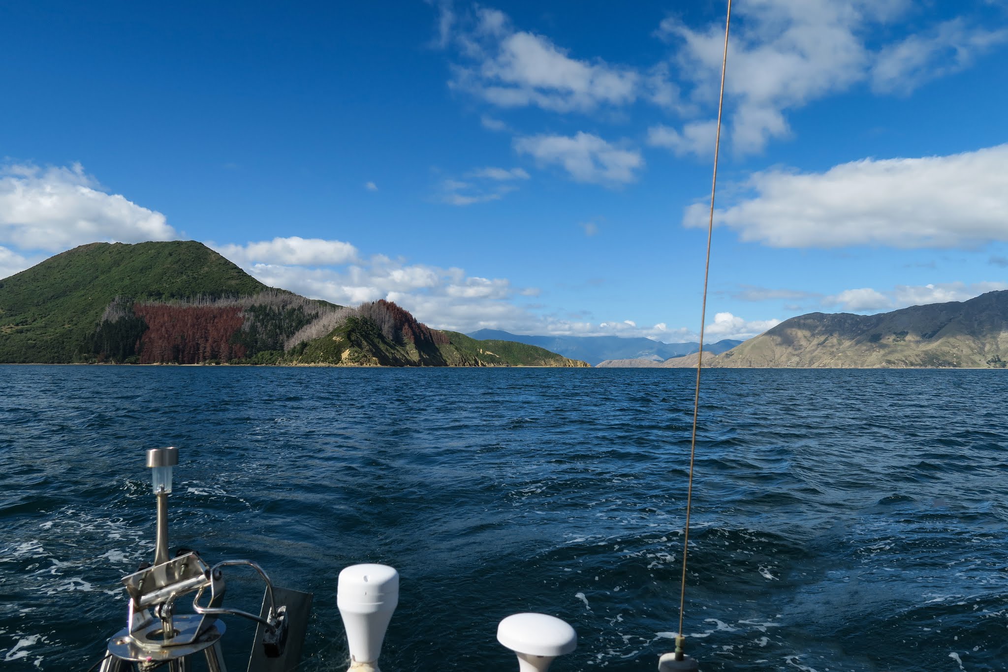
We soon realized that when our guidebook stated that Pelorus Sound is mostly farmland, it meant pine tree farmland, which results in a patchwork of vegetation over the mountains and hills. Where the trees are fully grown, there’s dense, dark green pine forest. Where the trees have been cut, it’s brown and barren. And where things are starting to grow again, there’s usually dry, bushy vegetation dotted with regenerating pines.
Here and there, nature reserves have been set aside for New Zealand’s native forest, and a few interloping pines can make a very attractive mix around the margins. There’s also farming in the water: fields of floats mark mussel and salmon farms in many of the biggest bays. The one consistent element is the mountainous terrain–there are no flatlands in the sounds.
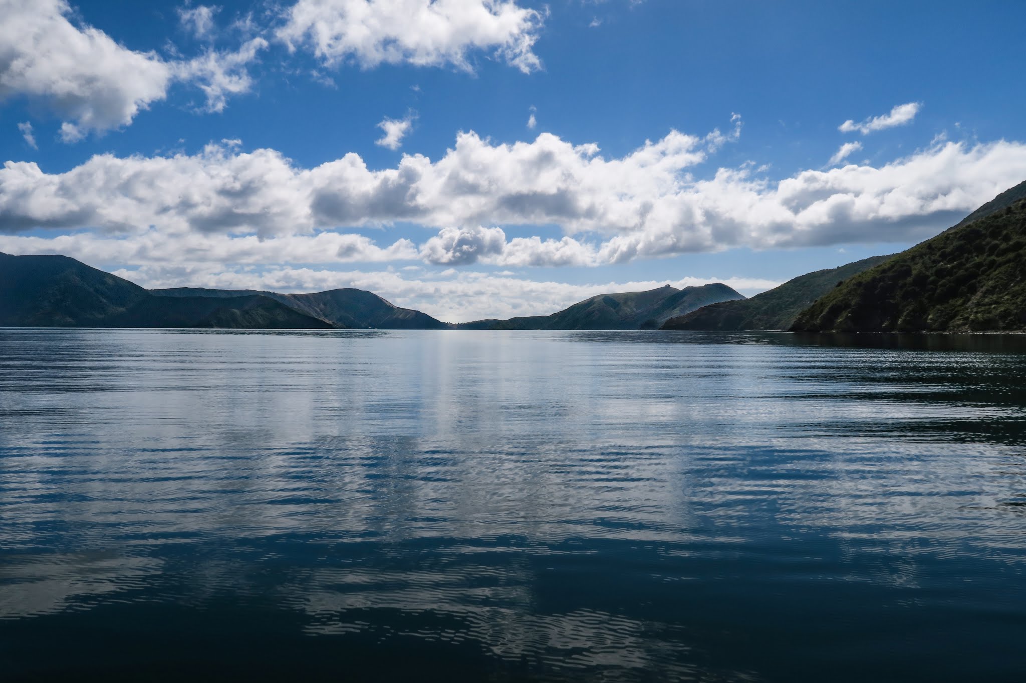
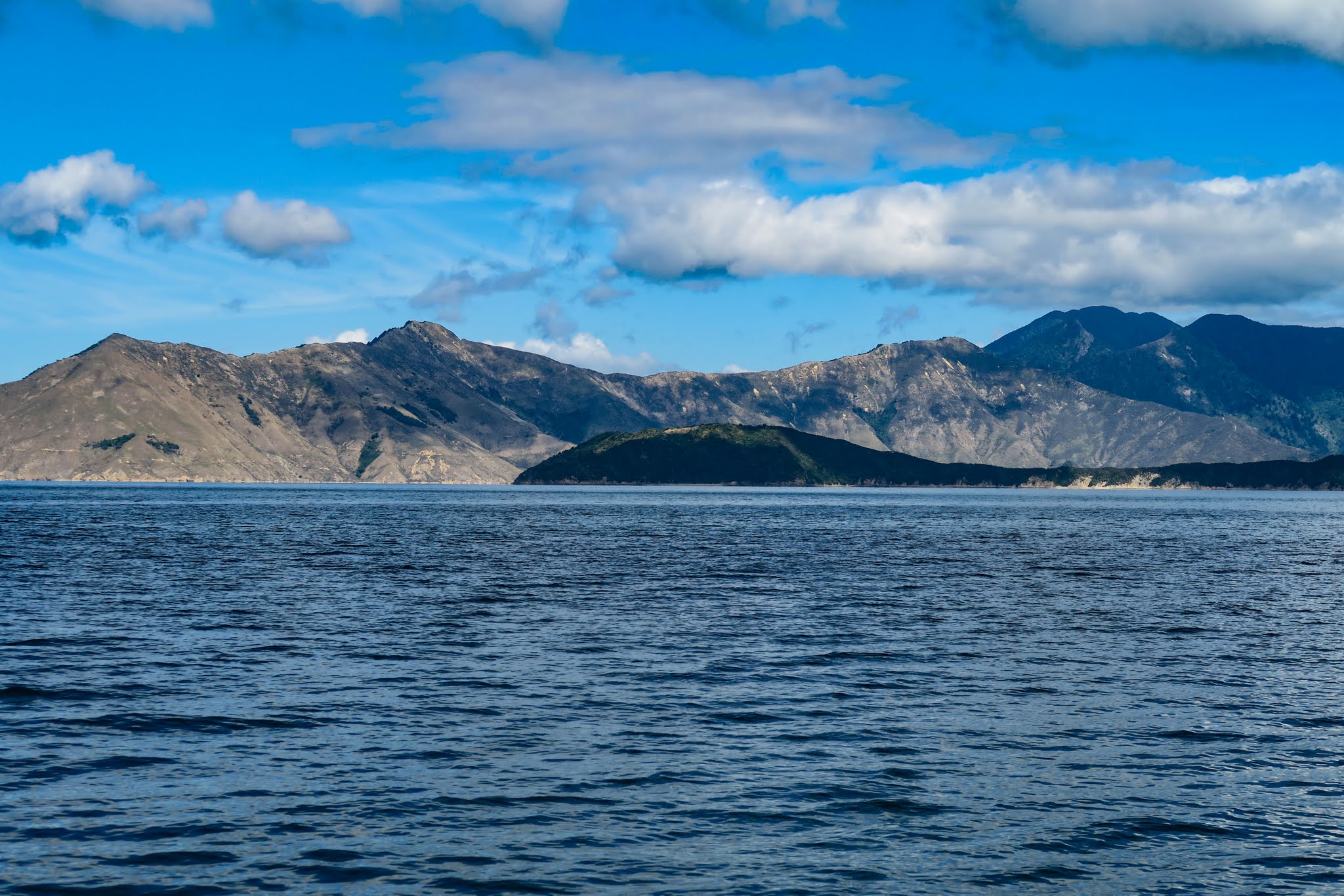
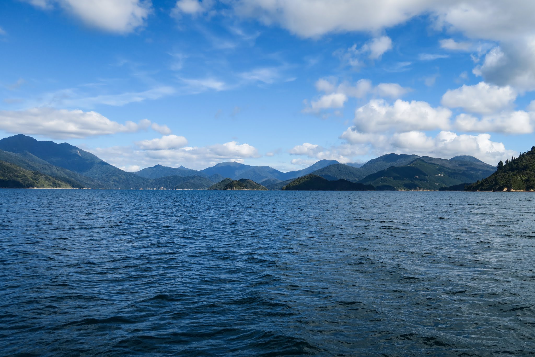
These mountains, however, come in all shapes and sizes, and it made for a pretty interesting horizon as we headed down Pelorus Sound, especially the triangular Maud Island. We got a good look at some of the bays as we motored along, but nothing tempted us to stop. (Below a gallery of Pelorus Sound’s main channel. Click to enlarge and scroll either gallery below and panorama above.)
The Tawhitinui Reach stretches across the bottom of Pelorus Sound’s main channel, forming an upside down T. If you turn right, it’s about a mile to the much-revered Tennyson Inlet. Turn left and six miles later you’ll be in a huge, lake-like body of water (the Crail and Beatrix Bay area). Or turn south just before you get there and continue inland down the Popoure Reach. This maze of waterways goes on a long way.
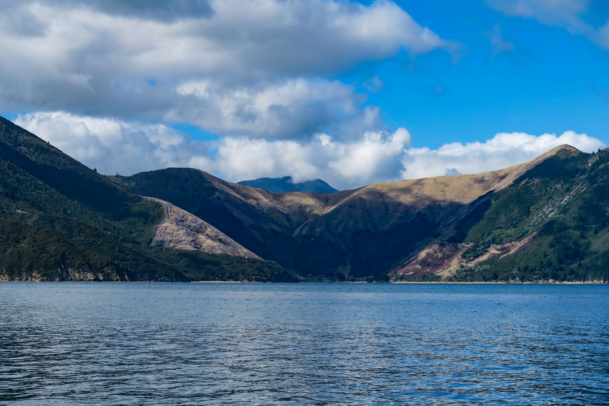
As we neared the Tawhitinui Reach, we noticed it took the varied landscape to an extreme. The south side of it was so dry and barren it looked like Jupiter, yet the surrounding mountains were thick with pine forest.
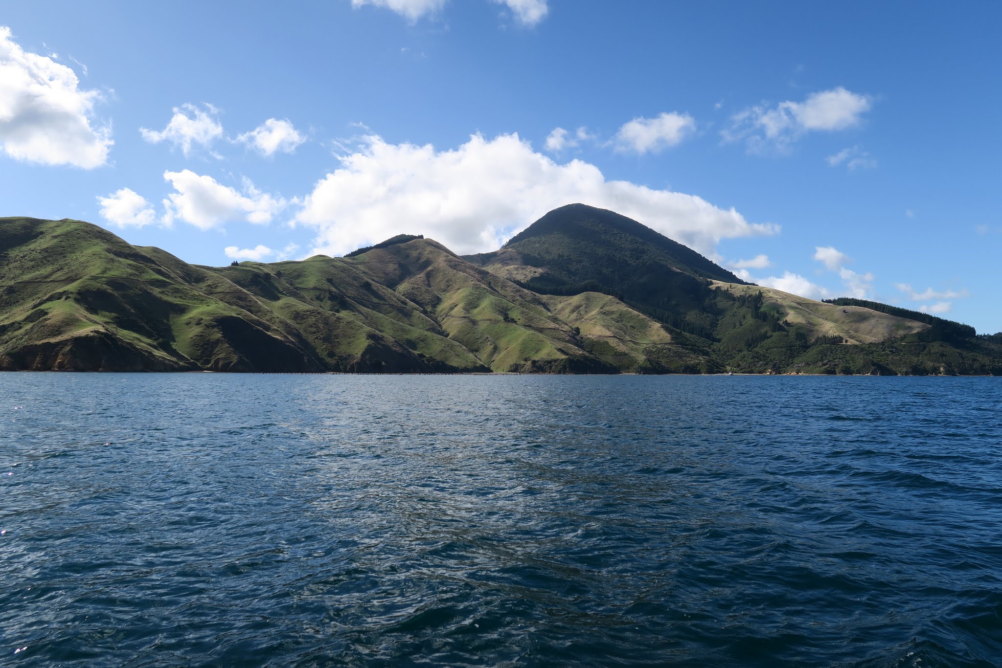
When we got there, we turned west. To our right was finally some of the hilly green pasture and grazing sheep we’d expected. To our left was the densely forested Tennyson Inlet and its islands. Ahead of us was Fitzroy “Bay,” actually a huge cul-de-sac of several very large bays.
(Below, a gallery of photos of the Tawhitinui Reach: looking behind us towards the east end of the reach, looking down into the Tennyson Inlet, and the grassy hills to our right as we headed towards Fitzroy Bay.)
In the big Fitzroy Bay cul-de-sac, one arm, Hallam Cove, branches north. This was our next destination. –Cyndi

