July 23, 2018
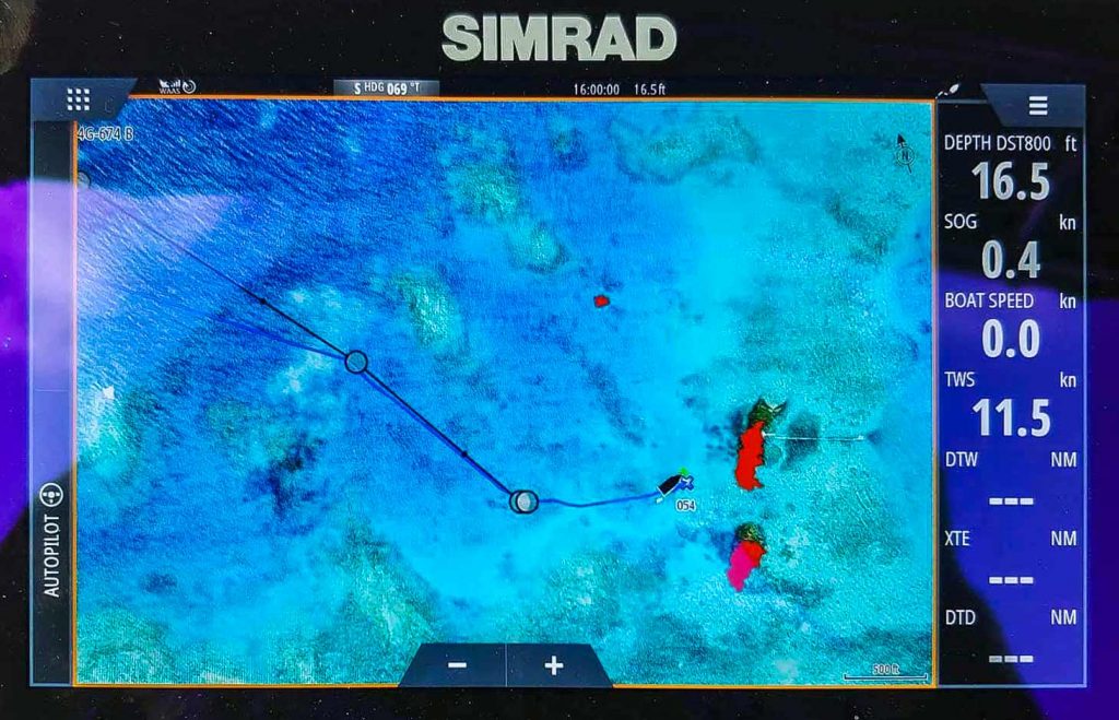
I am really, really pleased with our new navigation tools. They include Simrad EVO3 chartplotters which can display satellite images and forward scan sonar. Here’s what it enabled us to do…

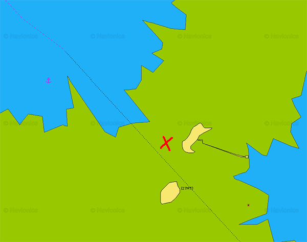
Here’s all that Navionics charts showed us…

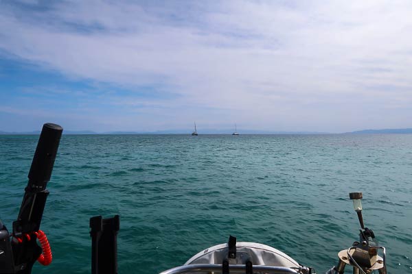
Because of their shallower draft, we usually see catamarans anchored inside where we anchor. Not the case here. This is as close as these two catamarans dared…
We’ve been using satellite images to navigate for about five years, loading them on our phones and iPad. It’s so much better having them on our chartplotter as we enter areas like these. The forward scan sonar tells us just how deep the dark patches in front of us are. Can we go over it or do we need to turn? Now we know.
And the next morning, we woke up to the payoff…
Yep, that’s our anchor chain. -Rich


