August 25 – 28, 2012
One thing we have all learned about passages in this part of the world is that they are not to be taken lightly. Even if the winds aren’t too strong, the swells can be huge and the seas rough. There are a lot of factors to consider in planning a passage across this part of the Pacific. By now, we had been watching the weather and hearing the stories of people who’d already headed out, and I had given a name to the part of the ocean that lies French Polynesia and New Zealand: the Boiling Cauldron of Death.
A large group of us were waiting to head off from Bora Bora. Every morning there would another round of meetings or radio conferences as all the guys poured over the GRIBS* and various forecasts. Some of us, including Rich and I, had hired weather routers. These are weather experts who help you choose the best time to leave and the best route to take advantage of the winds. As if having to worry about wind speed and direction aren’t complicated enough, we now have to worry about the sea state, too: swell height and period. It seems when one thing is good, another is not. It’s always something.
Finally, one of the weather routers said something that struck Rich and I: “If you are hoping for a passage with a consistent 15 to 18 knots of wind . . . it’s just not gonna happen.” We realized we had to pick our poison: to pick the best combination of less-than-ideal options, or we would be here for weeks! So we chose the next window, which would mean leaving in 18 to 20 knots of wind. Those winds would continue for about 3 days and be accompanied by large swells, followed by a day of no wind and motoring, and then higher winds again. Our destination was Suwarrow, about a 5-day passage. We had wanted to go to Nuie and perhaps Palmerston, but the conditions for that more southerly route had been rough, were currently rough, and would be rough until, it seemed, the end of eternity. Suwarrow would be a stop en route to Western Samoa and would break up the trip.
As it turned out, Suwarrow was not to be. More on that later. -Cyndi
* GRIBS are GRIdded Binary weather files. They are generated by sophisticated weather models and are what most of us use to plan our passages. We have found them to be amazingly accurate.
(Rich: Cyndi called these weather discussions, affectionately, meetings of the “weather hysterics.” Everyone would get together with all the weather information they accumulated to discuss the pros and cons of leaving at a given time. It seems that no matter how good one source of information made the timing look, another would completely contradict that and promise a brutal beating if you were to set sail at the appointed time. Too much weather information; it’s like the guy with more than one clock who never knows what time it is.
What we came to realize is that this time of year, in this part of the Pacific, there are constant highs followed by lows marching from west to east down at about 30 degrees south latitude. The highs cause compression zones in our latitudes that bring very high winds. The lows often have fronts associated with them that generate huge seas that find their way up to our cruising grounds. It just doesn’t seem possible to pick a magical time when you aren’t hit by these effects.)
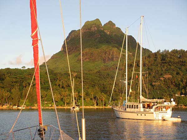
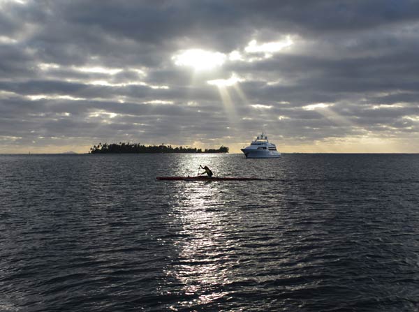
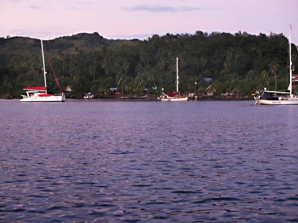
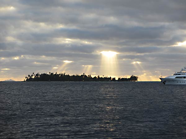
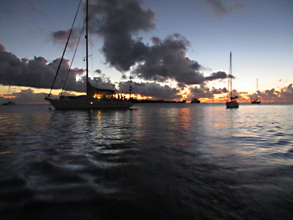
Below, a few photos from our mooring at the yacht club.

