Te Kouma Harbour’s Unnamed Bay (Coromandel Peninsula, New Zealand)

February 11, 2014

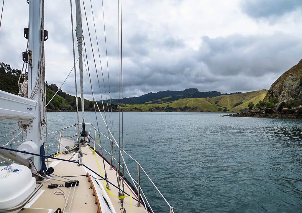
Our next destination was Te Kouma Harbour, less than a mile from us. It would only take 10 minutes to get there, but since we needed to run the engine awhile to make more electricity, we decided to motor around and take a look at the next harbor south, Manaia Harbour. It had been described as shallow and full of mussel farms so not a place we intended to anchor, but we thought it might be interesting to see. Below, a map of the area we intended to cover on our way to the next anchorage.

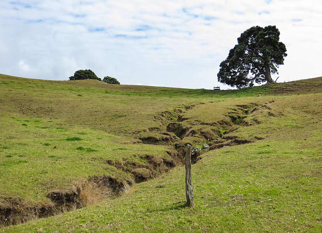
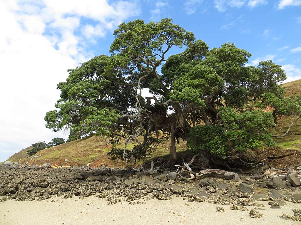
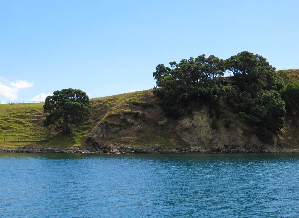
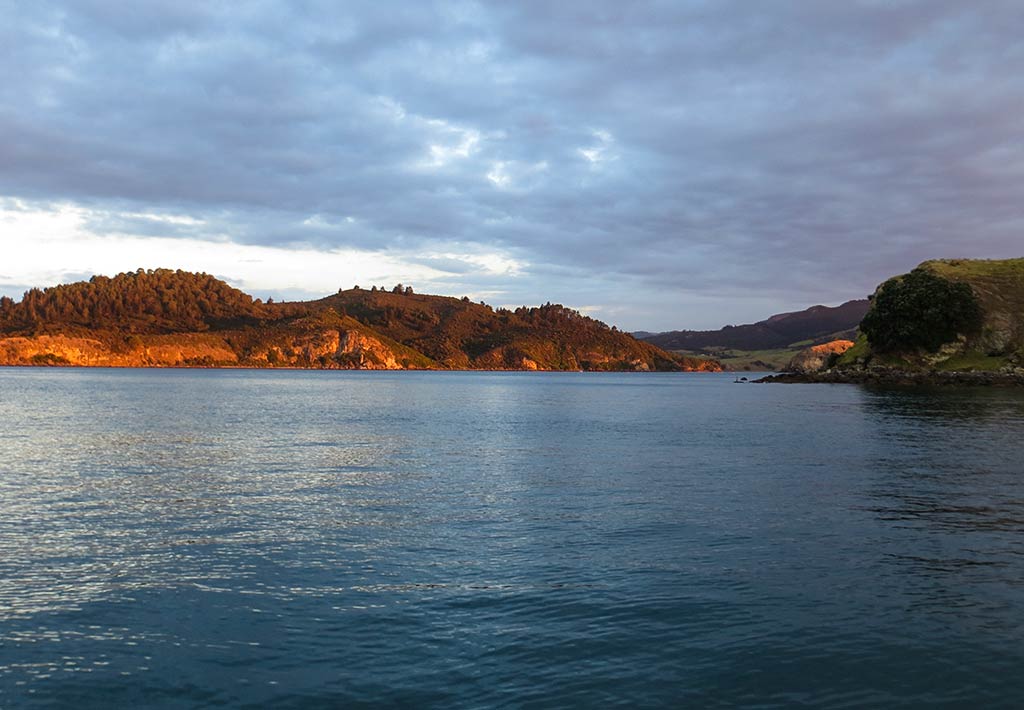
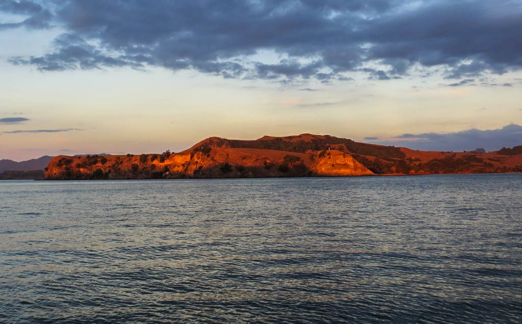
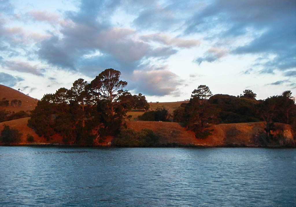
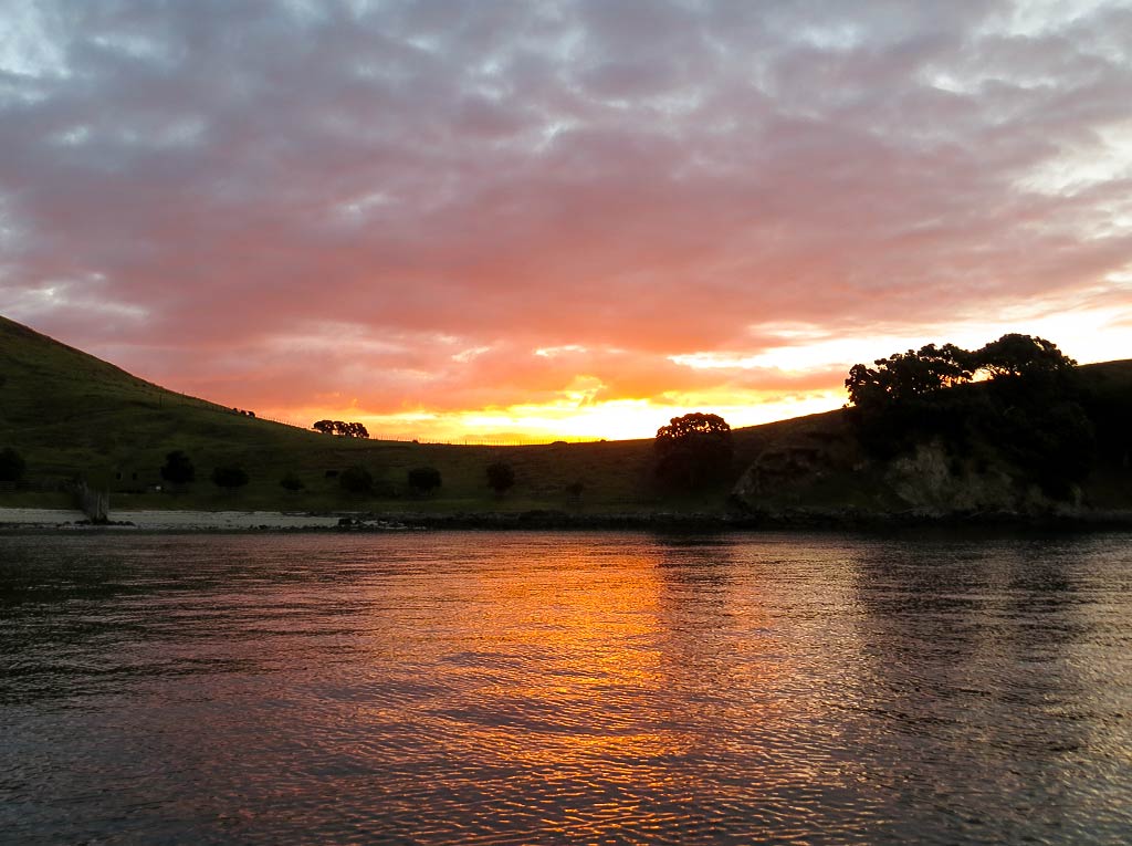
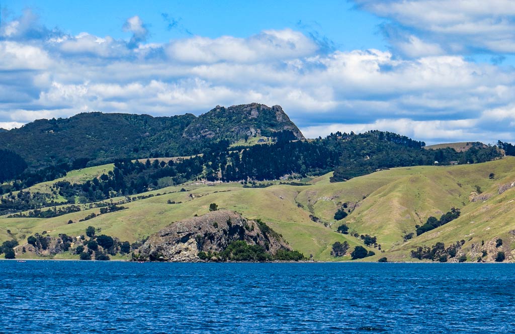
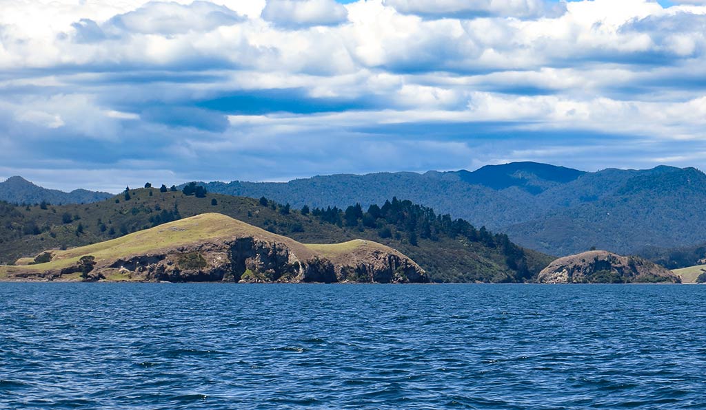
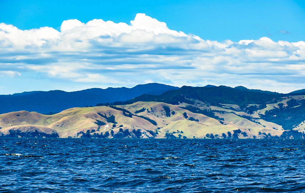
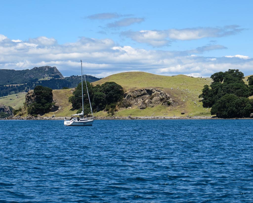
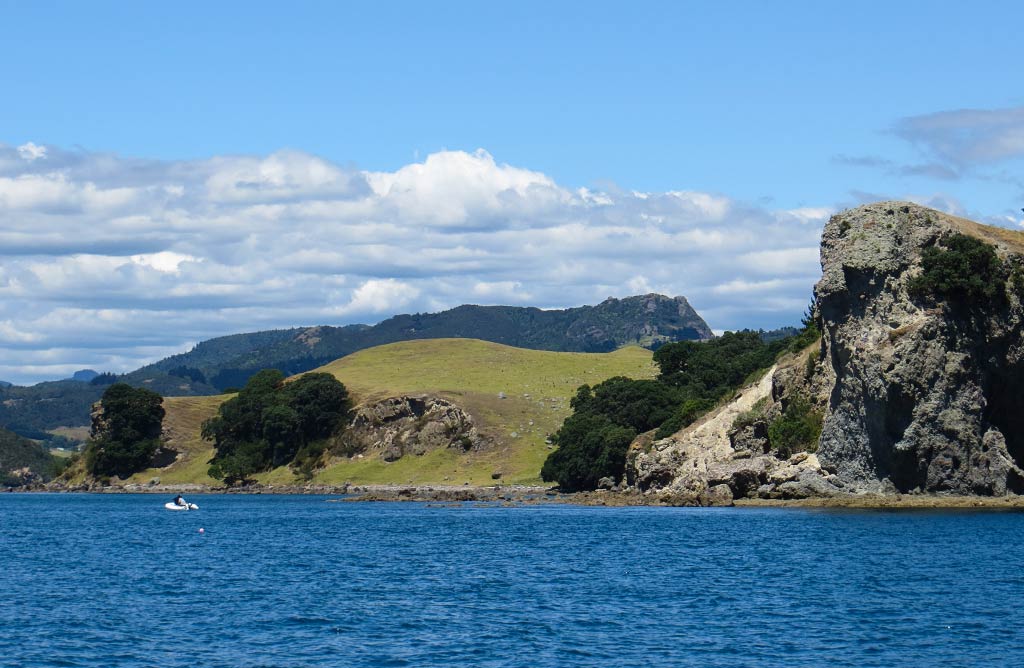
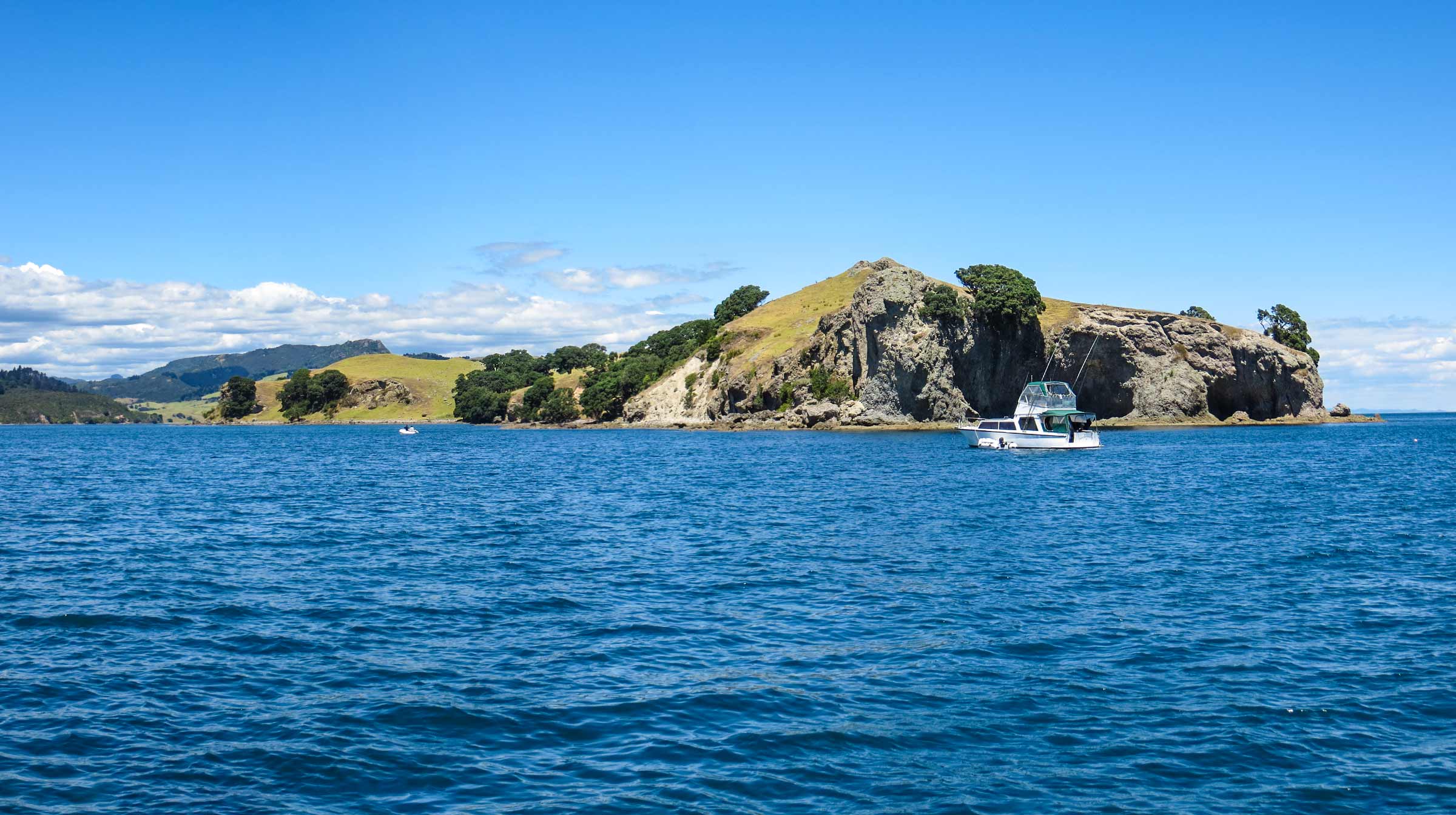
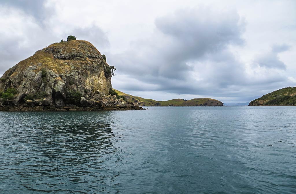
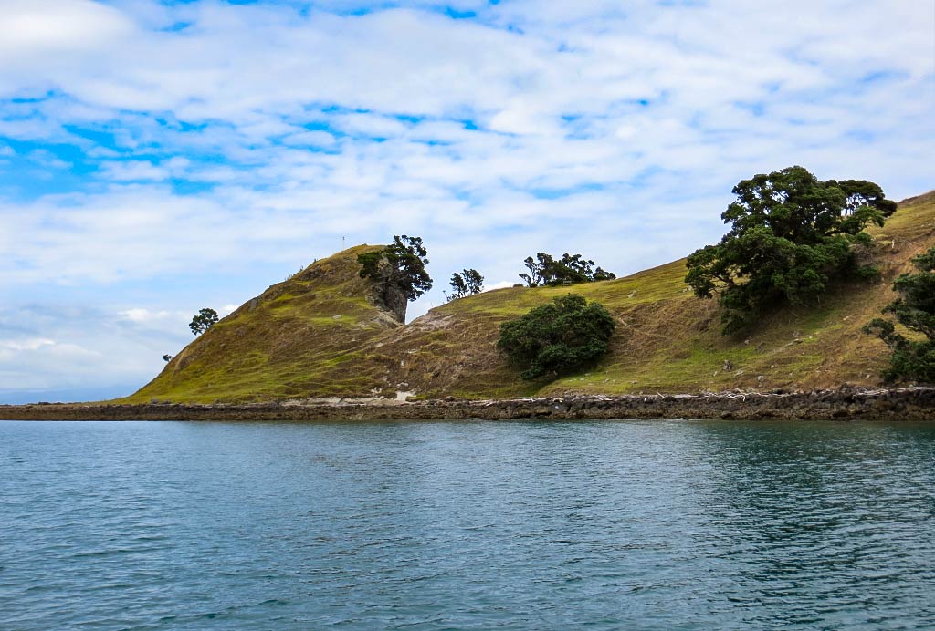
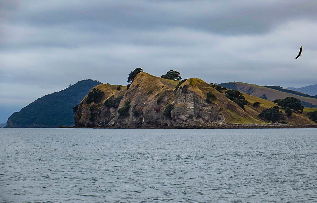
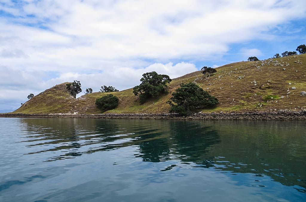
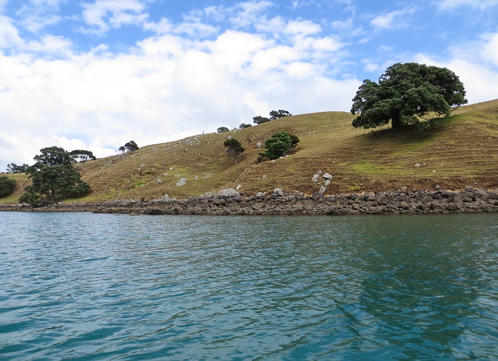
The morning was overcast and dreary as we left Rangipukea Island headed to the Coromandel mainland. We did motor by Manaia Harbour and it was as described: full of mussel farms and not appealing. What was appealing, though, was an anchorage nearby. We were heading for a small pass between the mainland and Tataweka Island (on map above) when  I noticed a beautiful spot: an indent of still, dark water surrounded by pine-forested mountains, looking both dramatic and peaceful under the moody-gray sky. I felt we’d been suddenly transported to the coast of British Columbia! It was pretty majestic and I was tempted to suggest we stop, but we were on a rather tight schedule at this point. So I said nothing as we continued on to Te Kouma Harbour.

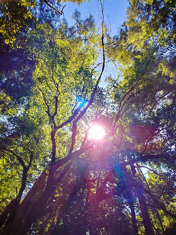
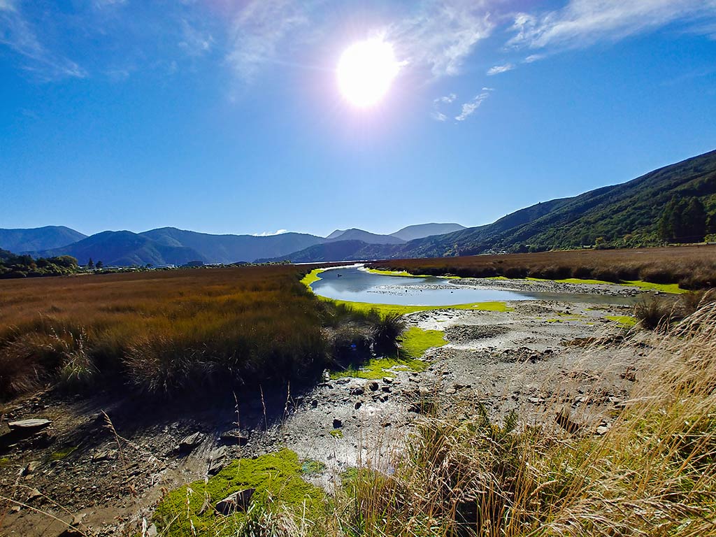
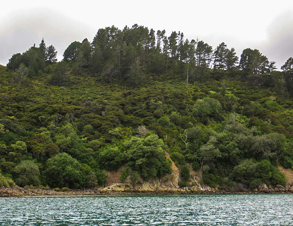
Below, a few photos we took while motoring around, including the intriguing anchorage in the last photo (click to enlarge any photo in galleries that follow).

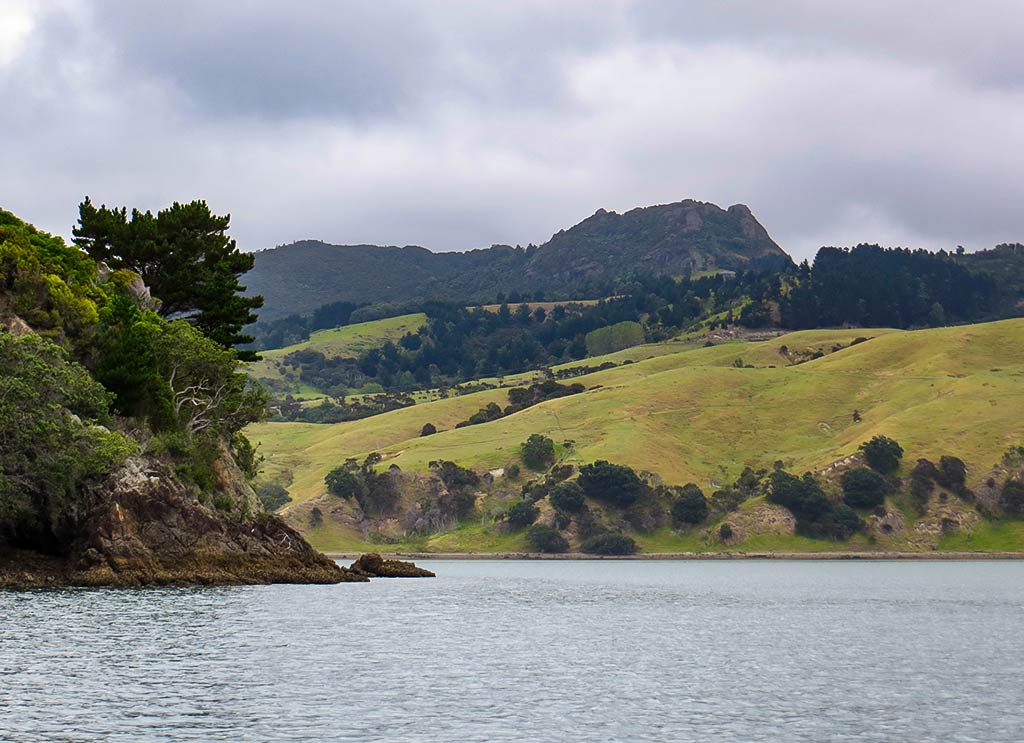
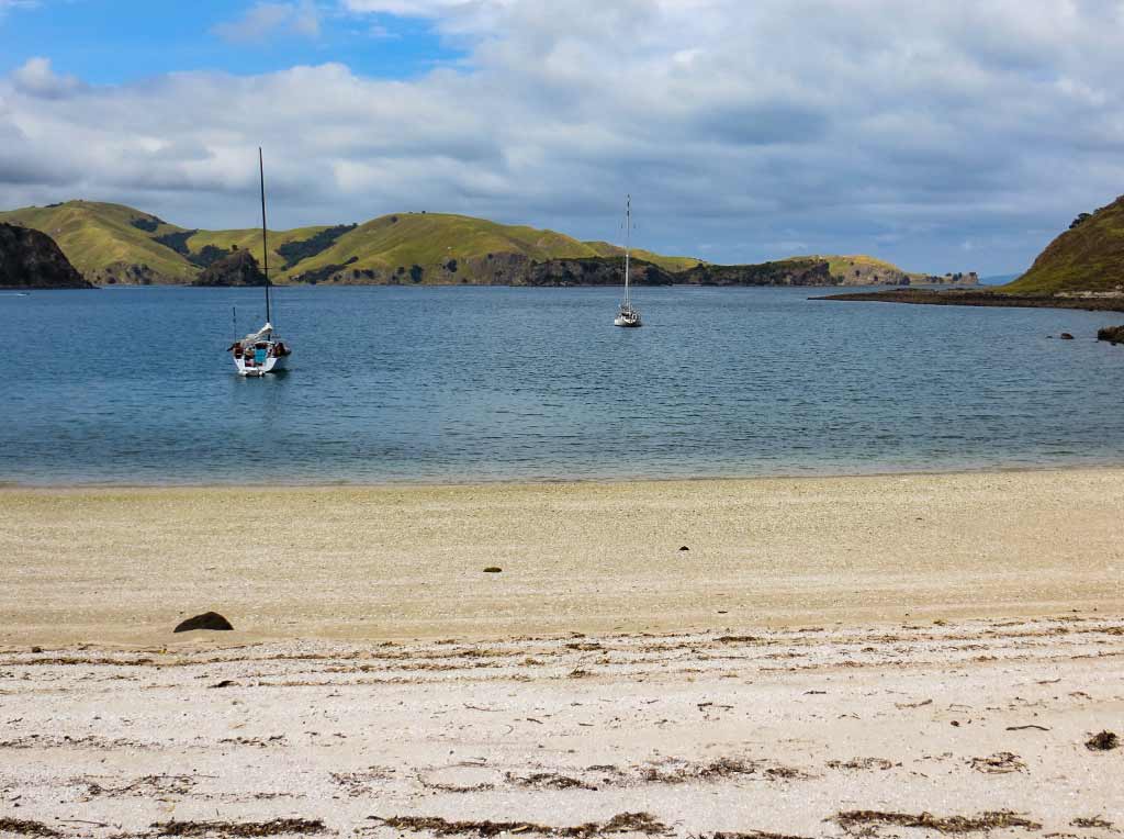
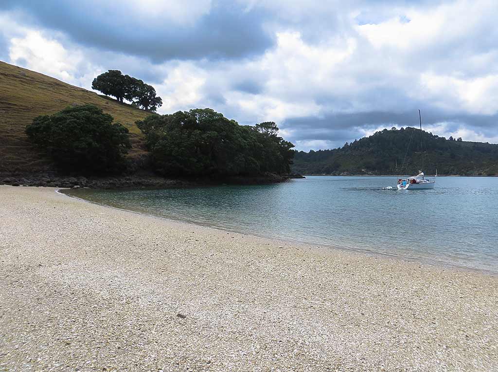
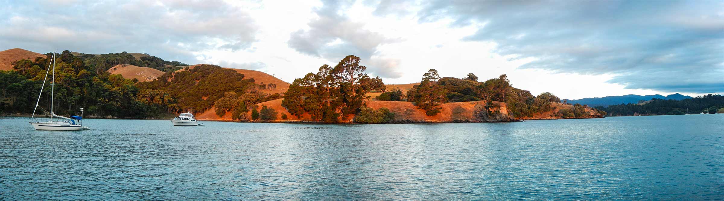
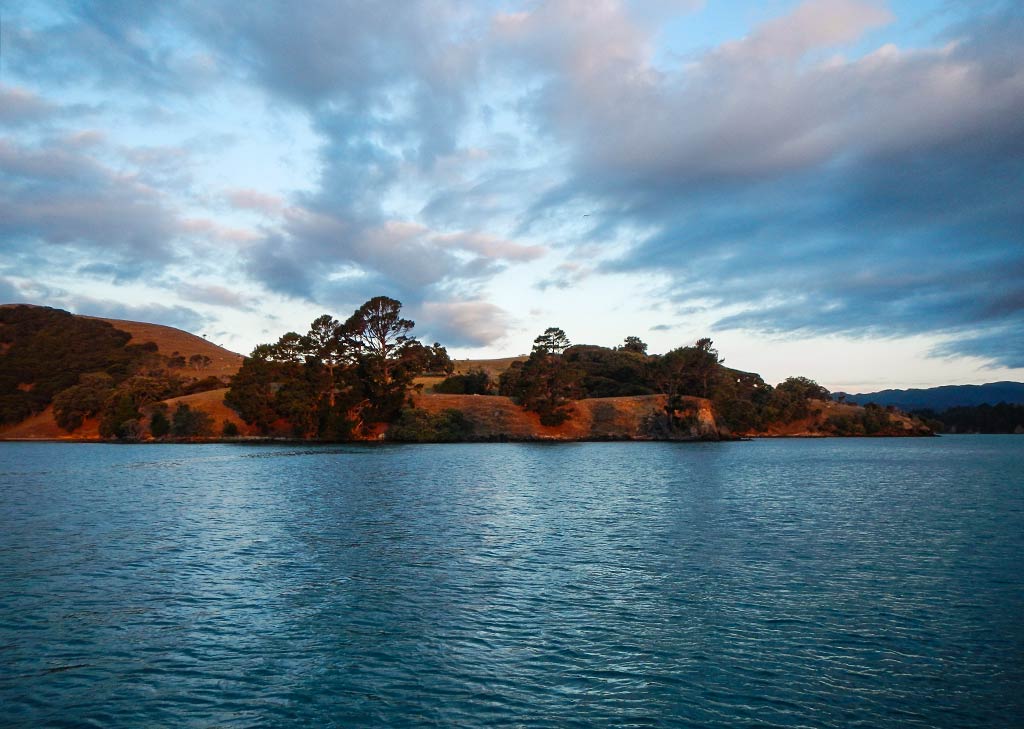
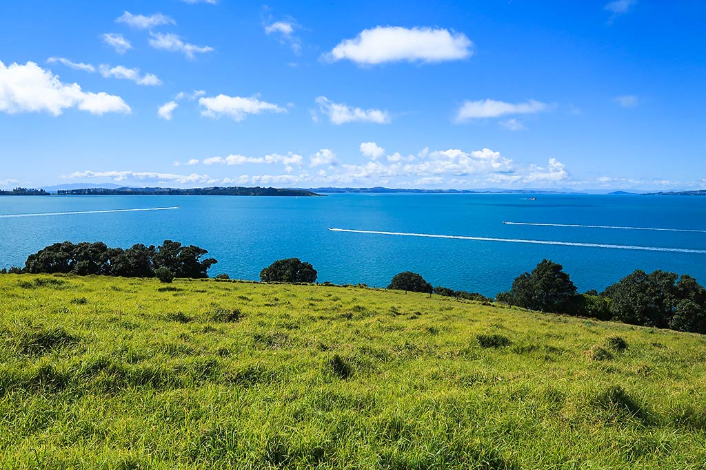
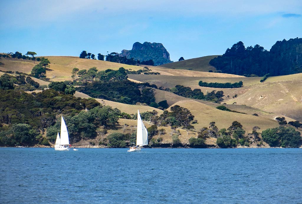
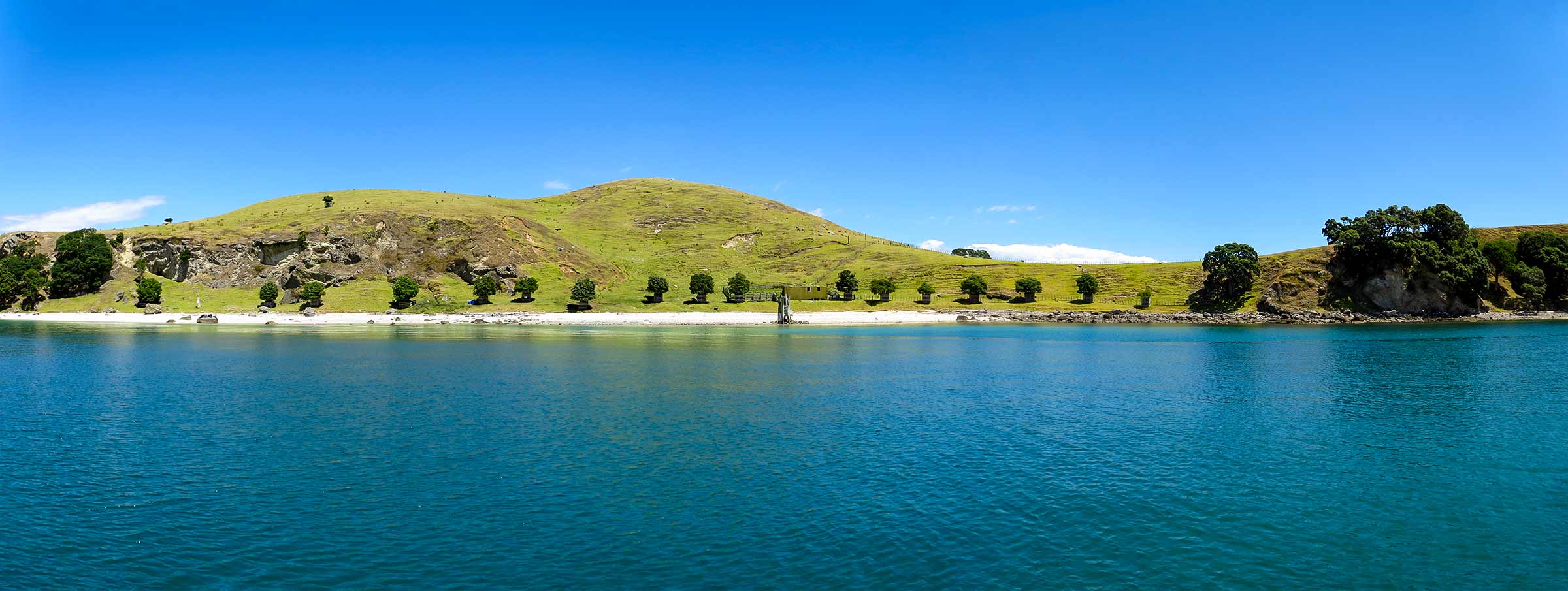
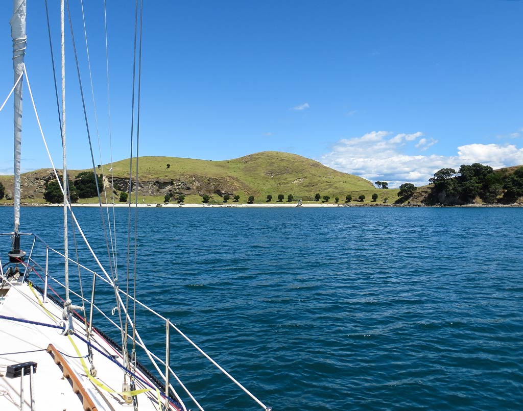
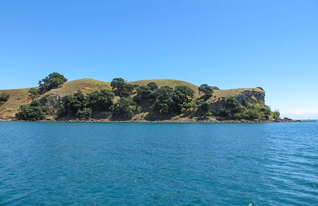
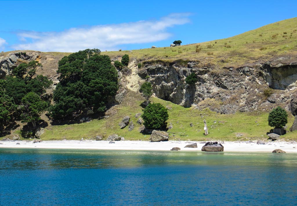
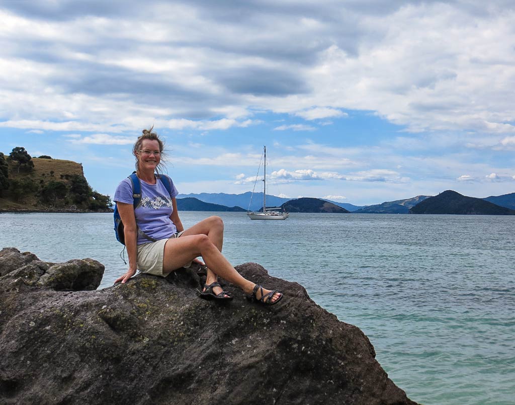
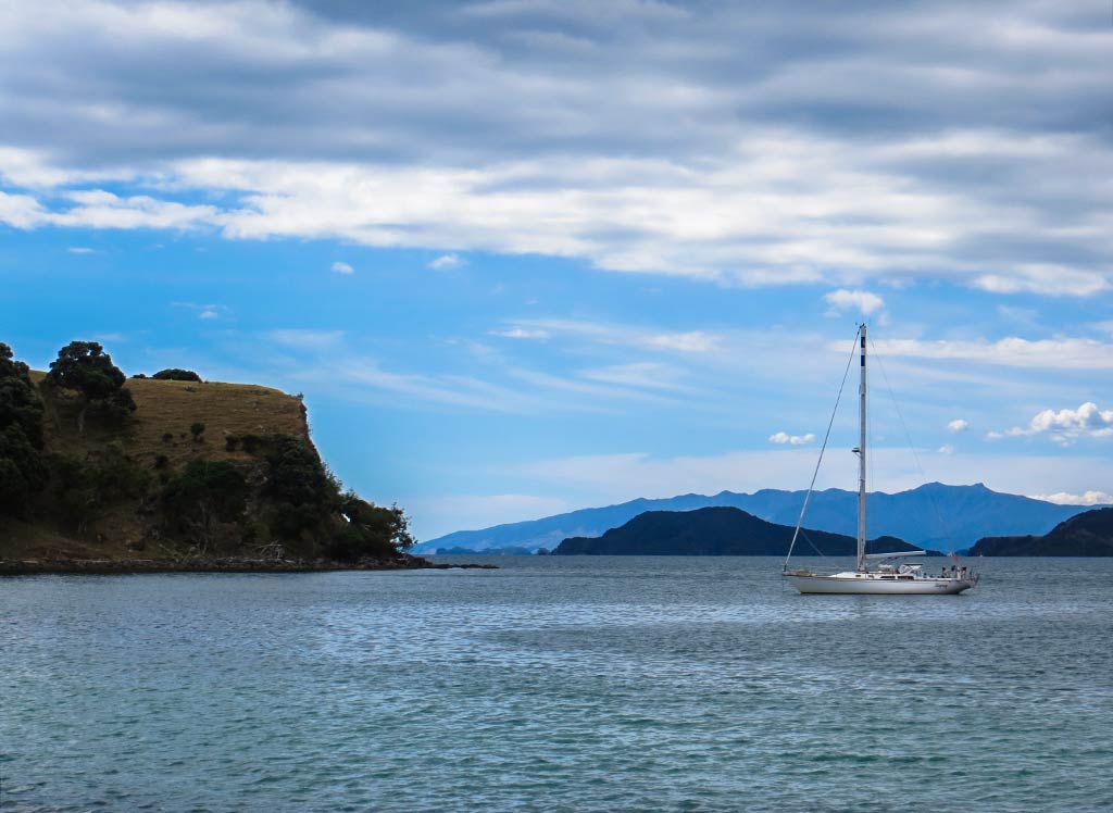
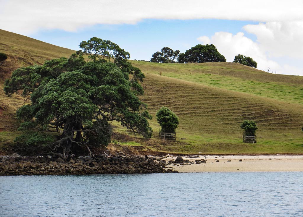
Our plan was to head to a spot called Squadron Bay, the popular second bay in from Te Kouma Harbour’s entry. But then we caught sight of the first bay, a sweet-looking spot with protective sandstone headlands, green-grass hills dotted with pohutukawa tress, and a beautiful white beach. It was so pretty that I could not imagine that Squadron Bay could possibly be better than this! A boat had just left, leaving just enough room for us; so we motored in and dropped our anchor. We could always go check out Squadron Bay later in the day.

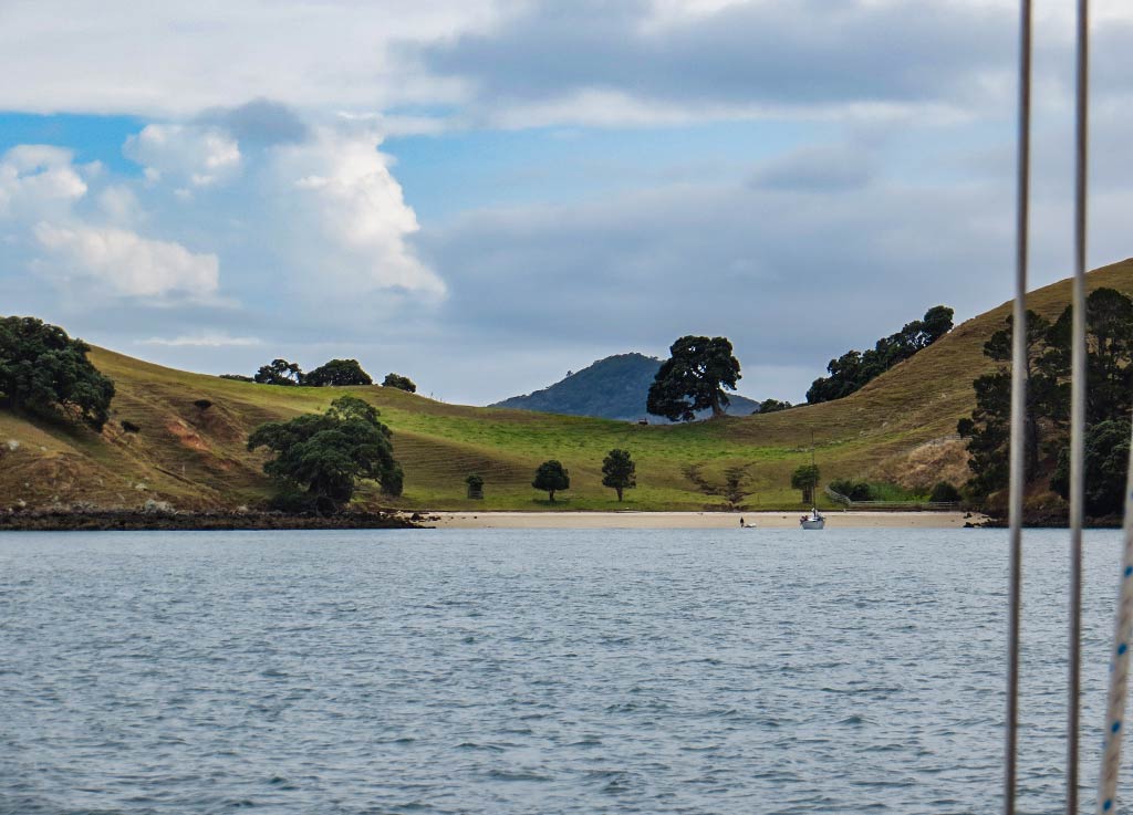
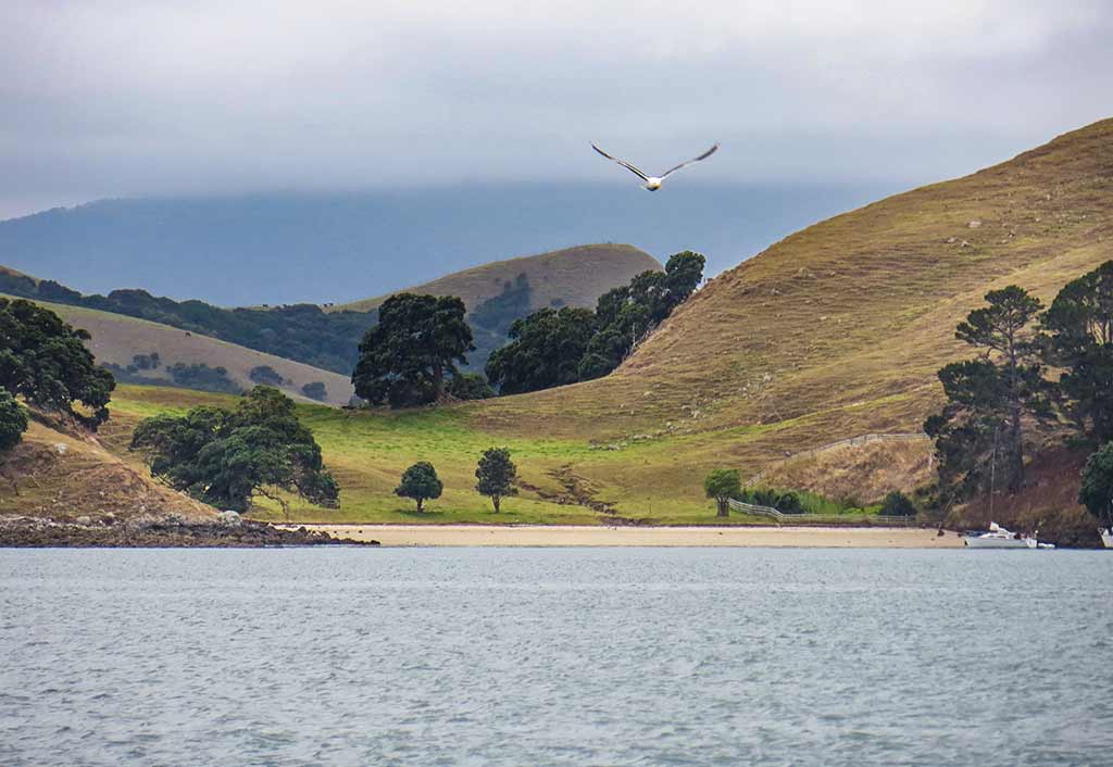
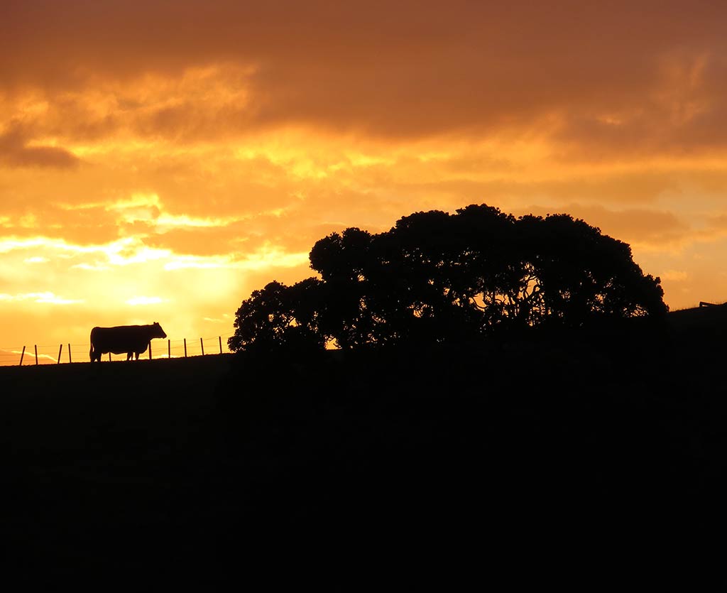
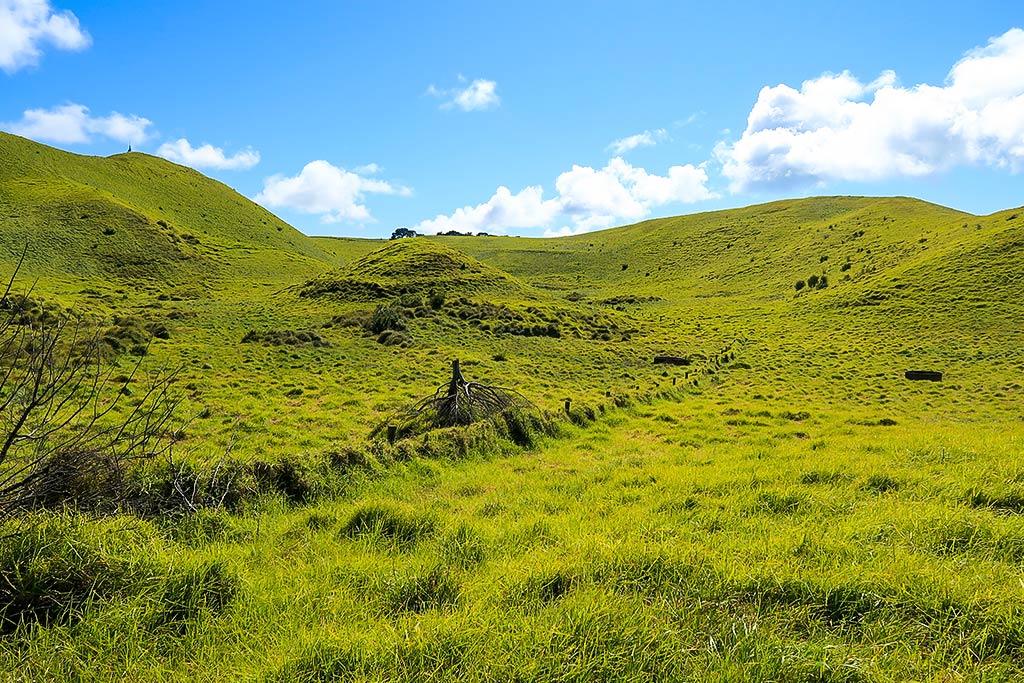
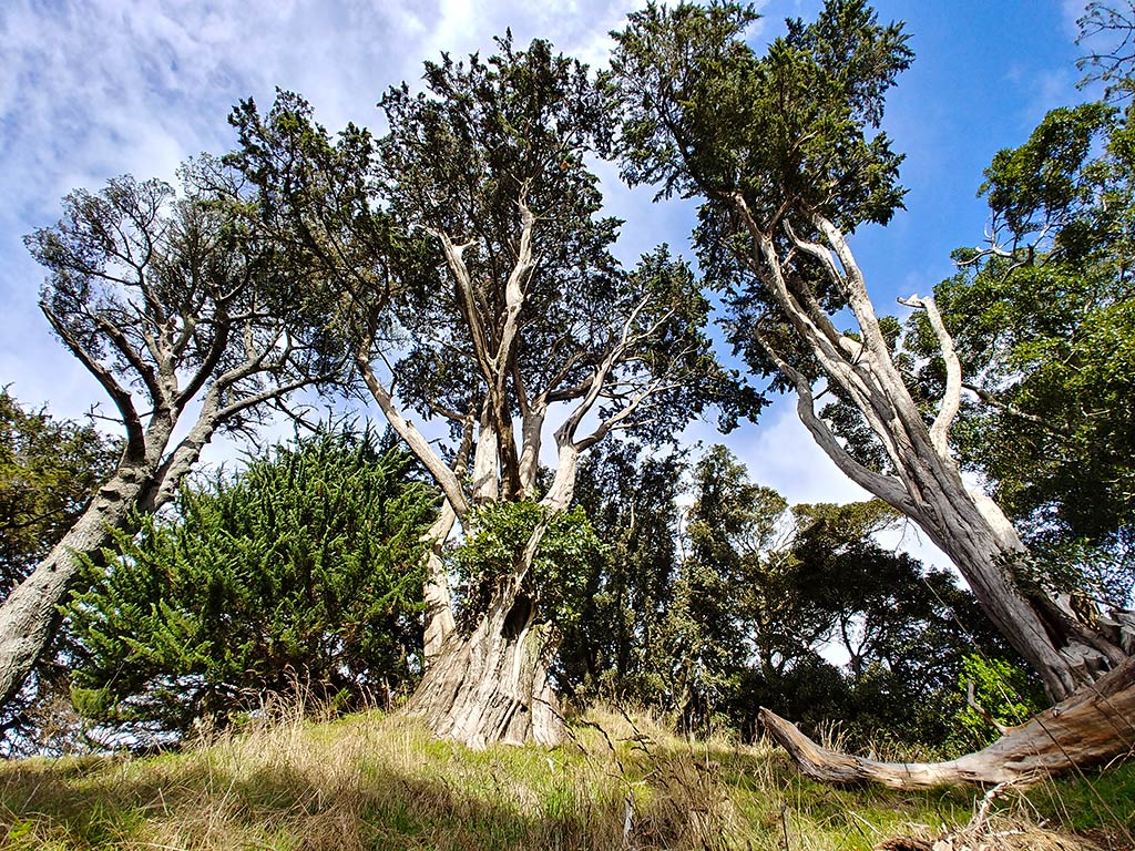
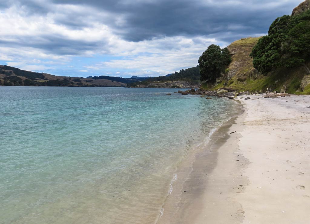
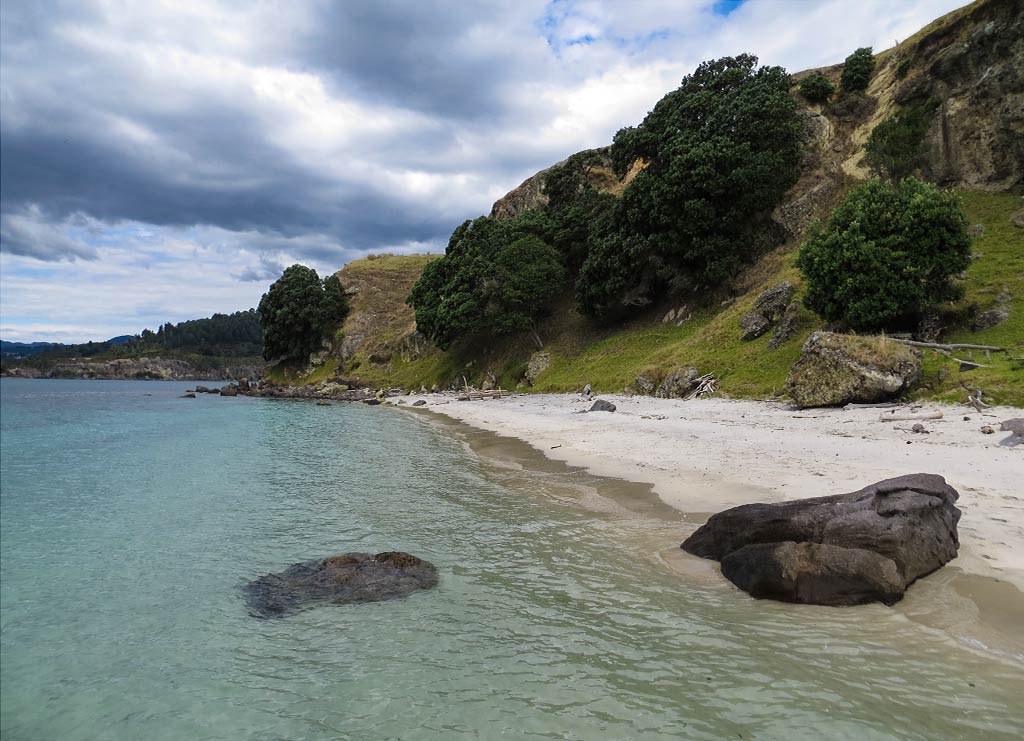
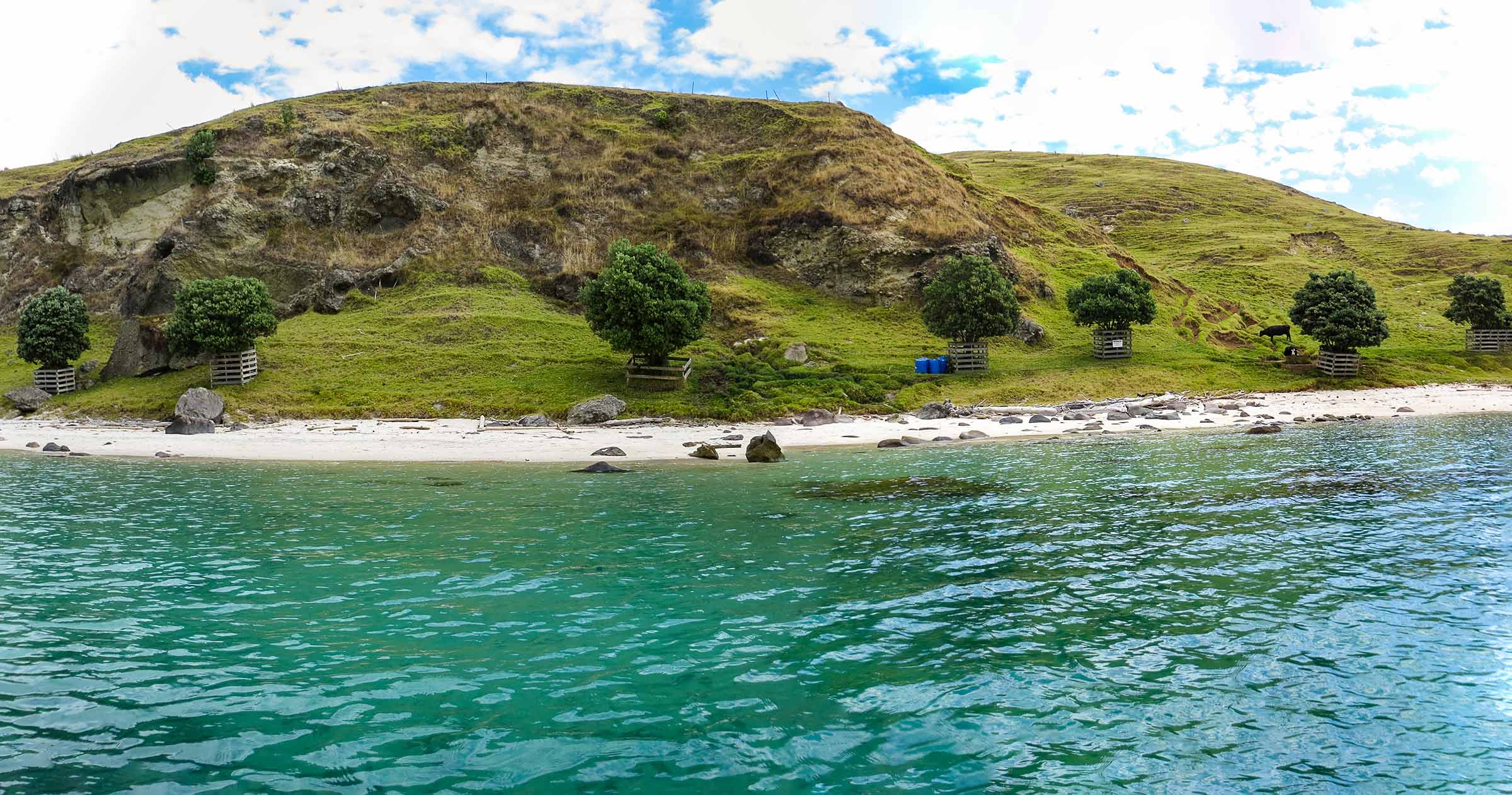
The Coromandel Peninsula may be mountainous and rugged, but it has these Bay of Islands-like coves here and there. What I mean by this is they have pretty green grass hills dotted with beautiful trees and white beaches. The bays aren’t quite as pristine as those in the Bay of Islands, a more rugged version and grazed by cows instead of sheep, but they are very lovely. This was just such a bay. The unbelievable thing was that it didn’t even have a name. How can such a special place not have a name?

Update, October 12, 2023 – A kind reader emailed to tell us that it does in fact have a name: Dip Bay. She lives on a farm there that goes back generations in her family. They named all the bays around their farm.

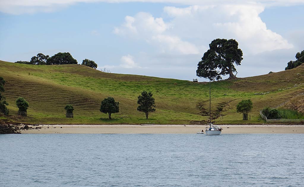
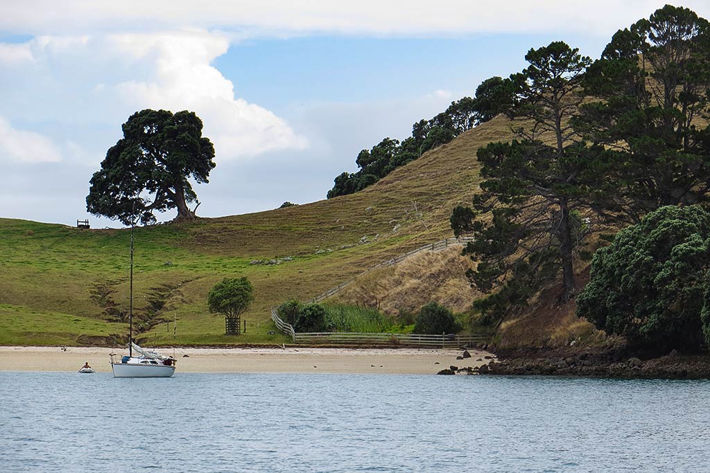
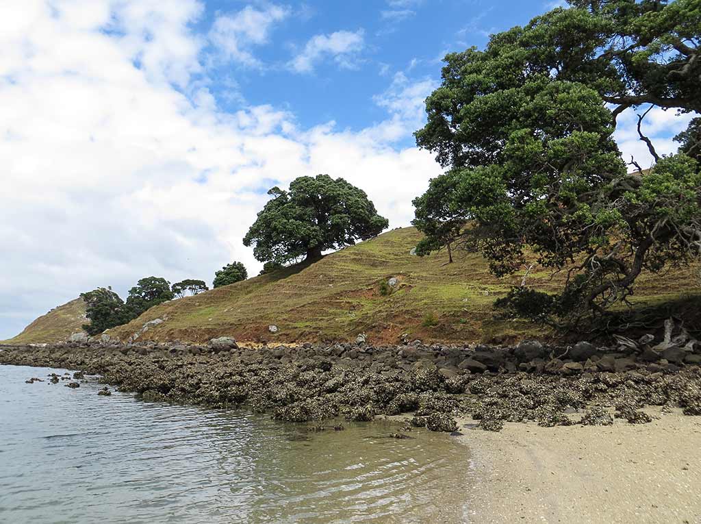
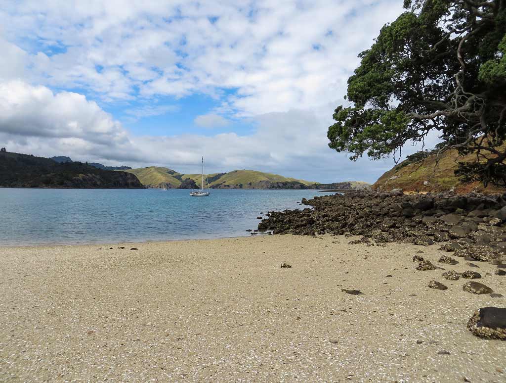
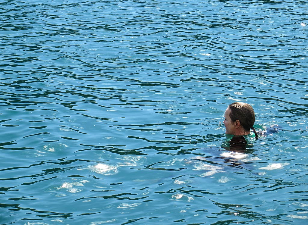
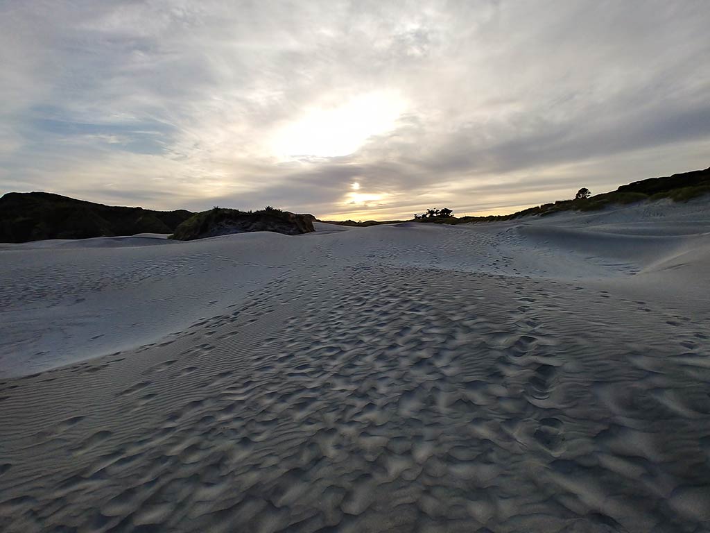
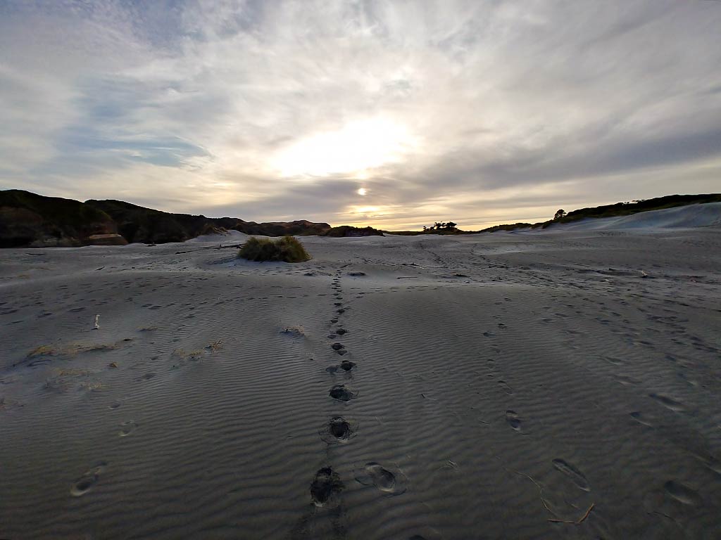
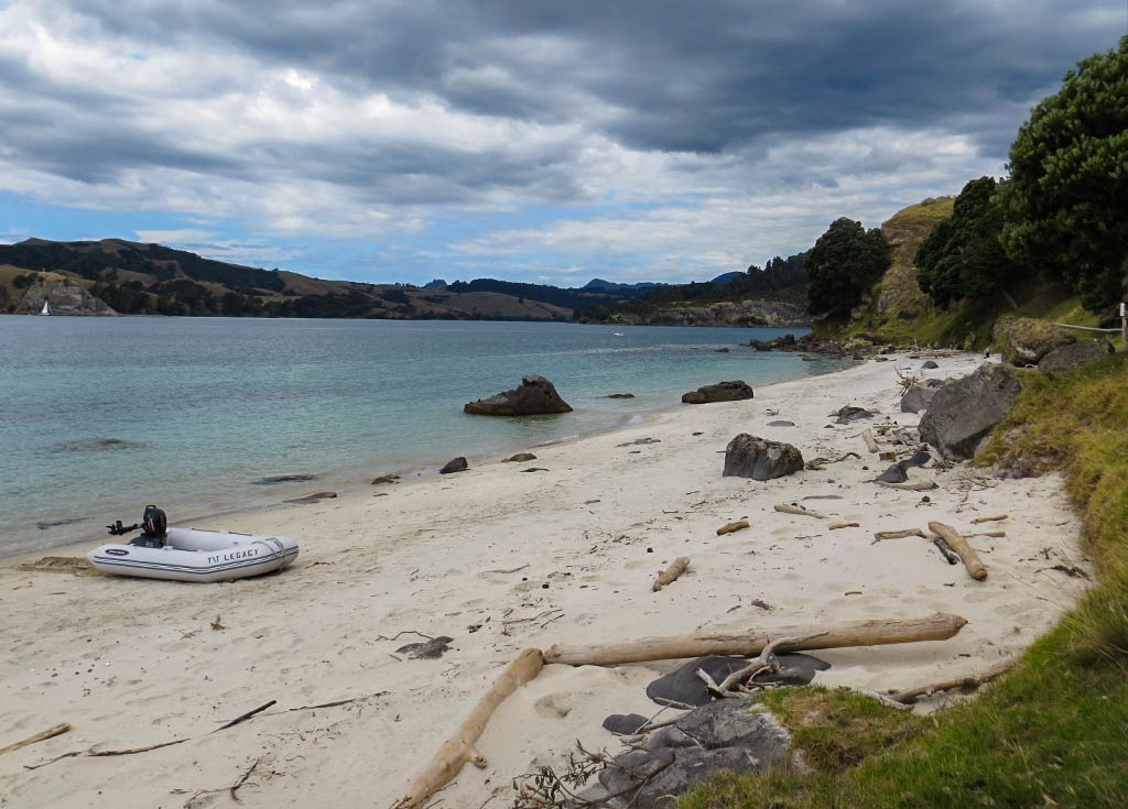
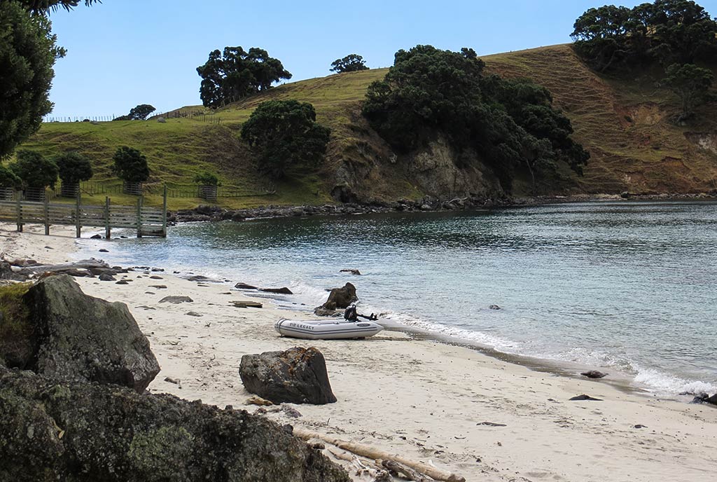
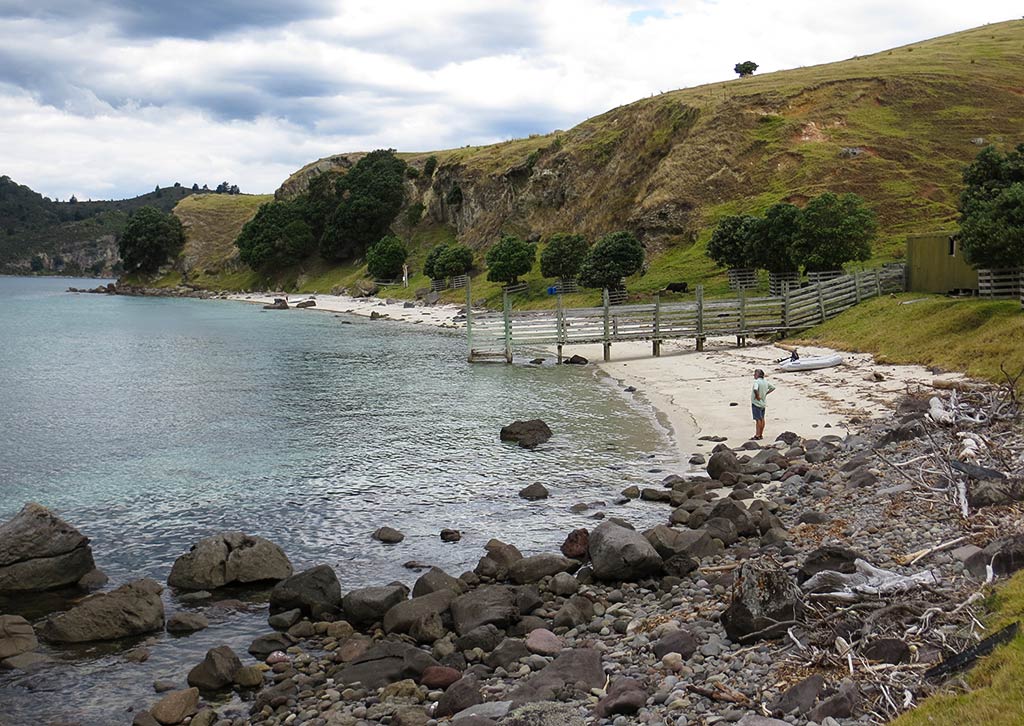
We waited for the gray skies to clear into the forecast sunny afternoon conditions before heading out for a hike to explore the area. When we dragged our dinghy onto the beach, our wheels sunk into the soft white sand. Once we got the dinghy sorted, we took in the view. Wow! Visually, this could hold its own with any of the other New Zealand bays we’d visited, and it was about to get even better on our hike. For now, I’ll add in a gallery of photos of be beach.–Cyndi

Evening at Rangipukea Island (Coromandel Peninsula, New Zealand)

February 10, 2014

After we returned from our beach outing, I was sitting in the cockpit, enjoying the scenery and the water sparkling in the late-afternoon sun. It was lovely, but I knew it would fade from my memory unless I figured out a way to make it stick, to “anchor the moment.” What to do? Well, pouring a glass of wine tends to be the go-to answer, something to do while enjoying a pretty scene, but it was early enough I didn’t feel like starting down that road.

I then had a great idea: I could go for a swim! Since I rarely swim in New Zealand, and never late in the day, it would go a long way towards etching this moment into my memory. So I donned my full-body lycra suit (warmer than a bathing suit and I don’t have to worry about sunscreen), got into the dinghy, and slowly lowered myself into the water. It was a bit chilly at first but felt good once I was in. In fact better than good—it felt fabulous to be swimming and gliding along in the sparkling water. (Below, a few photos; click to enlarge any photo.)

Rich came out to watch over me and get some pictures, enjoying watching me swim but opting to stay put on the boat. I stayed in awhile, finally coming in when it started to get cooler outside. At that point, jumping into a hot shower felt amazing.

Soon after we had dinner, we opened a bottle of wine and headed out to watch a beautiful evening and sunset. It was a nice end to a day made special by making a little extra effort to do something unusual.

Below, panorama of the anchorage in the evening light…

And a gallery of the evening and sunset…

–Cyndi

A Round of Favorite Pics

November 12, 2020

During our recent backup, we discovered these pictures that we liked so much that we just had to post them. The best I can say about the  exact location where they were taken is somewhere in New Zealand. I’d like to take credit for all of them, but the best just might be Cyndi’s.

-Rich

Backup Mess

November 11, 2020

It’s once again time to create an off-site backup of all of our photos and data. This time, we’re going to copy everything to a 2TB drive and send it to our mail service in Green Cove Springs, Florida where it will sit until it’s needed (hopefully, it will never be needed). We always try to have at least one backup copy of everything in our ditchbag and one off-site copy, completely immune to typical computer tragedies like sinking 😉

In the past, we’ve uploaded everything to the cloud – Amazon Web Services to be exact – but I got tired of paying $30 a month for storage and we don’t usually have  bandwith inexpensive and fast enough to move gigabytes around the world. I tried to move our data to their less expensive storage level (Glacier) but didn’t trust that I had it working correctly, so it’s back to a variation of sneaker-net.

By the way, if you don’t know about it, Bvckup is an incredible backup program (that’s “backup” with an upside-down “A”). It’s about $10 to buy a lifetime license and it’s updated regularly.

With the way our data usage is increasing, the backup now involves two computers and a half a dozen external drives.

“Let’s see… did I back that one up yet?”
“I don’t have room for all that. Do I need it?”
“What the heck is this and why am I keeping it?!?”

That’s enough confusion to drive me to drink (though truthfully, it really doesn’t take much to do that these days!). -Rich

Heading to the Coromandel Peninsula’s Rangipukea Island (Hauraki Gulf, New Zealand)

February 10, 2014

The large and looming Coromandel Peninsula isn’t typically on a Hauraki Gulf cruise itinerary. It actually sits 10 miles east of the island group, not so much a part of the Hauraki Gulf as it creates the Hauraki Gulf, blocking the easterly swells that, save for this peninsula, would turn the Gulf’s serene island anchorages into surf breaks.

At 50 miles long and 20 miles wide this peninsula is already large, but with its rugged, mountainous terrain, vast areas of wilderness forest, sparse population, and few roads, it has remote, frontier feeling. It’s somewhat off the beaten path for travelers by boat or car, the kind of place one visits if they live in New Zealand, but too out of the way for most international travelers doing a big New Zealand tour.

We’d briefly visited one anchorage on the peninsula in 2013, but that was near its outer end, for convenience while waiting for suitable tide and wind so we could round the peninsula. Now, I hoped we could visit the intriguing anchorages lower down on its west side.

I was concerned to see whitecaps on the water after we left Ponui Island, and even more concerned to hear the weather forecast had changed to overnight southwesterly winds, not great for this area of the Coromandel. Rich worried we’d made a mistake leaving Ponui Island, but I quickly checked my list and was relieved to see there was one place that would be suitable for this weather, an island a half mile off the Coromandel coast called Rangipukea. It was very close to another anchorage I hoped to visit and an easy change of plan for the night. (Below, an interactive map.)

It took about 2 ½ hours to make the crossing. The ocean was whitecappy and spitty, splashing our rain-washed boat with salt water. But it was also sunny, warm, and not very rough; so I couldn’t complain. Meanwhile as we got closer to the Coromandel Peninsula, I was again impressed by its rugged beauty and sheer size. Its headlands, shoreline and off-lying rock islets were big, blocky and boulderous, with tall mountains rising dramatically behind it all. Below, some photos (click to enlarge).

Rounding the north tip of Rangipukea Island brought us into quiet and calm conditions. This island wasn’t very big, yet it echoed the Coromandel’s big scale with large cliff and rock formations. Rugged slopes were dotted with pohutukawa trees and, surprisingly, cows. We noted a couple of small boats anchored in the shallow north bay but continued around the corner to the bigger bay at the southeast end.

Below, a panorama photo of the area…

As we rounded the corner into that bay we were surprised by what appeared: green grass hills sloped down to a surprisingly white beach scattered with large black rocks, while pohutukawa trees clung to the sandstone cliff headland. To find such strikingly beautiful anchorage  here was a delightful surprise.

Here’s a gallery with a few additional pictures…

After anchoring and taking some time to relax, we decided we should go walk on the beach. Up close, this beach had a lot of sea debris and driftwood, but it also had beautiful pastel blue and green water to go along with its white sand. We’d hoped to climb the grassy hill, but the presence of a couple of bulls changed our minds. We contented ourselves with a beach walk and climbing on a couple of the big black rocks. (Click any photo to enlarge.)

In all, this was truly a beautiful place, made more so when spots of sun peeked out from the cloudy sky, highlighting the colors of the sand and water. And always in the backdrop was the mountainous Coromandel, adding an element of drama to the view and making it feel different from the Hauraki Gulf islands.

As we took our dinghy back to the boat I turned and looked at the shore. It was late in the day but sunnier, and the water was becoming more green in the goldish light. This was the sort of spot where changing light could alter the feeling of the place.

Now, I was very glad for the southwest winds that caused us to stop here. Sometimes an inconvenient change of weather turns out to be a good thing. –Cyndi