Posted February 06, 2023
about August 29, 2022
We were nearing the end of August, and so far we’d acquired and installed some needed parts for our boat, gone through our “see and do” list for Gladstone, researched how best (for us) to cruise the Queensland coast, chosen our first “destination” anchorage at Great Keppel Island, and made arrangements to stay in the Keppel Bay Marina (not far from Great Keppel Island) during an upcoming windy period.
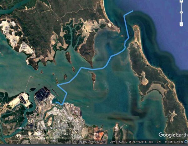
We were pretty much set but still had a couple of decisions to make before taking off, the most critical being what route to take out of Gladstone’s harbor. Basically we had are three options:
–A 25-mile trip north through a waterway that included what’s known as the Narrows (shown by the yellow line on the map below).
–A 10-mile trip down the main shipping channel to the harbor’s South Entrance. This wide, deep waterway would be the easiest route, but going miles out of our way wasn’t appealing. (shown by the green line below).
–Or finally, we could take a winding easterly route amid shallows and barrier islands to the open ocean. This route, known as the North Channel, is shown on the map below.
Initially we’d hoped to go through the Narrows, a protected, scenic waterway through a large area of mangroves. The issue with this channel is that even at high tide, it isn’t all that deep, and at low tide it gets shallow to the point where some areas dry out completely (one spot actually serves as a cattle crossing). With our deep draft, the average high tide wouldn’t be enough: we would need a spring tide (the highest of tides that occurs during both a new and full moon). Timing the tide correctly would be critical.
It looked as if a deep tide and our chosen departure date might match up, but we still needed some guidance from the marina staff, who thankfully help to their guests make a plan to navigate the Narrows.
We went to the office to consult with one of the staff. He checked the tides and told us that it would maybe be do-able, but we’d right at the our depth limit with almost no leeway. If we got stuck, we could well end up on our side in the low-tide mud, trapped until the next high tide, watching a bunch of cows walk by us.
Well that didn’t sound good at all, not an acceptable risk. We had the option of waiting a few more days for a higher tide, but then we’d lose our weather window for the trip. Bottom line: getting north was more important to us than traveling up through the Narrows.
Thus, our next choice was to go through the North Pass. We’d have tide issues there, but with proper timing they wouldn’t be a problem. We’d head out on a rising tide, arrive at the shallowest areas at high tide, then ride the subsequent outgoing current through the final pass. Once on the open ocean, we could then head north along the coast.
The motor-sail to our main destination, Great Keppel Island, could be done in just a couple of day trips, but we’d need to figure out where to anchor for the night en route. We were thinking of a place called Yellow Patch, an anchorage at the base of a big yellow-orange sand dune. The pass into the anchorage was rather shallow but probably deep enough for us, but we figured we’d better double check.
The marina’s advice saved us again—it seemed the entry to Yellow Patch had gotten quite silted up and would be iffy with our draft. Our helper suggested Hummocky Island, not far north of Yellow Patch. Meanwhile, friends of ours had suggested ducking in behind Cape Capricorn, 20 miles up the mainland coast and also not far from Yellow Patch.
We looked at both, but when I checked out Hummocky Island in our guidebook, the author described the anchorage there as “active.” One thing I’ve learned with guidebooks is each author has their own way of describing things, which I have to learn to translate into what that means for us.
For instance, when Alan Lucas says an anchorage is “active,” what he actually means is “pretty damn rolly.” When he says Cape Capricorn’s anchorage is swell-prone, that means “really damn rolly.” Rich took a close look at satellite images and found spot deep in the bay behind Cape Capricorn that looked reasonably well-protected. We decided on the Cape Capricorn anchorage and if it were unsuitable, we could travel another 8 miles to Hummocky Island.
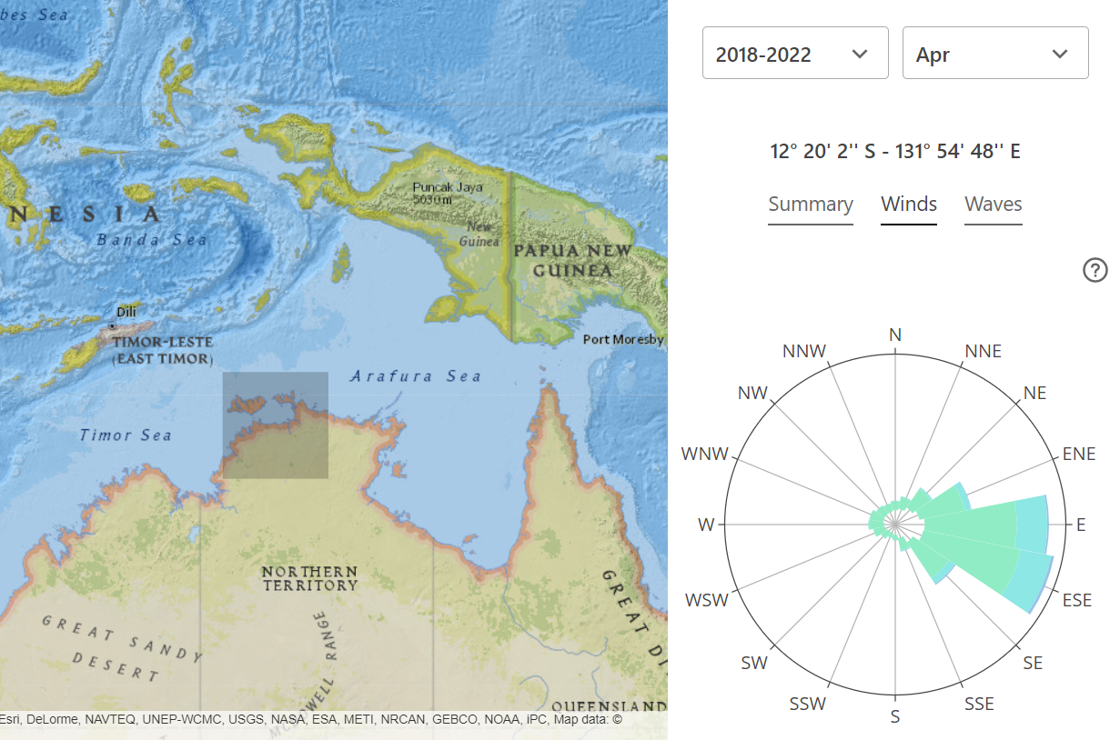
Below, an interactive map showing our options . . .
Once we made the decision to head out the North Pass everything fell into place. We could leave at a reasonable time in the morning, top up our tanks at the fuel dock, get to the North Channel without having to rush, and get out the pass and north to Cape Capricorn and arrive before dark. At this point, making our plan and plotting out our routes, we were both feeling excited to get out cruising again.
After the usual whirlwind day of activity that happens before we head off, it was nice to pour an evening glass of wine and catch my breath, all the work behind us for awhile. I took a look at my journal and reflected on the time (nearly 3 weeks) we’d spent in Gladstone. While in New Caledonia, we’d been hearing news of Australia’s excess rain this year; so I was surprised to realize we hadn’t seen any rain since we’d been here. Aside from a handful of a breezy days, the daytime weather had been been mild, sunny and pleasant, shorts and tee-shirt temperatures with just a couple of mornings calling for a pullover.
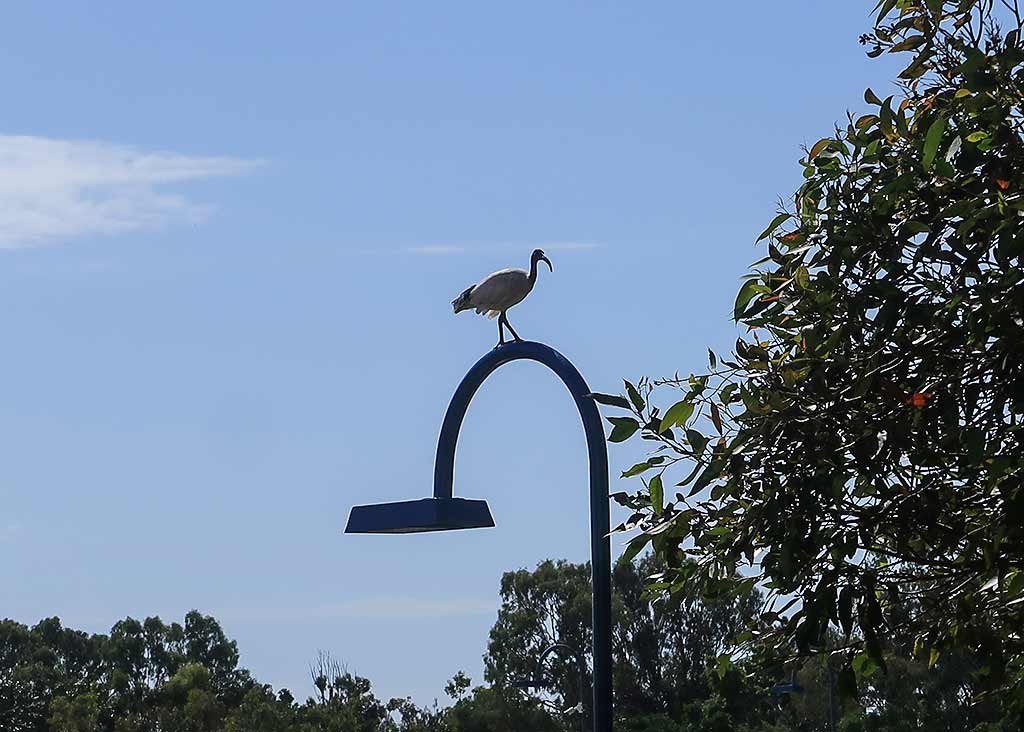
The nights, though, were chilly. At dusk we’d put in our hatch boards and sleep under a comforter. After 5am, whoever got up first would turn on the heater, and we’d run it until about 8am when it would start to warm up outside. At that point we’d take out the hatch boards and be greeted by the sound of birdsong from the park.
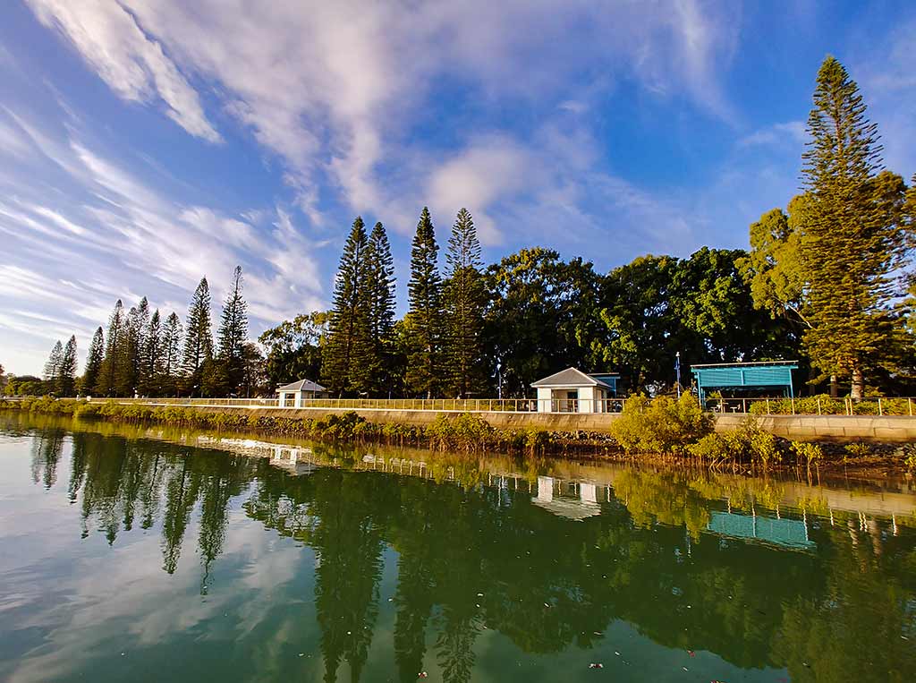
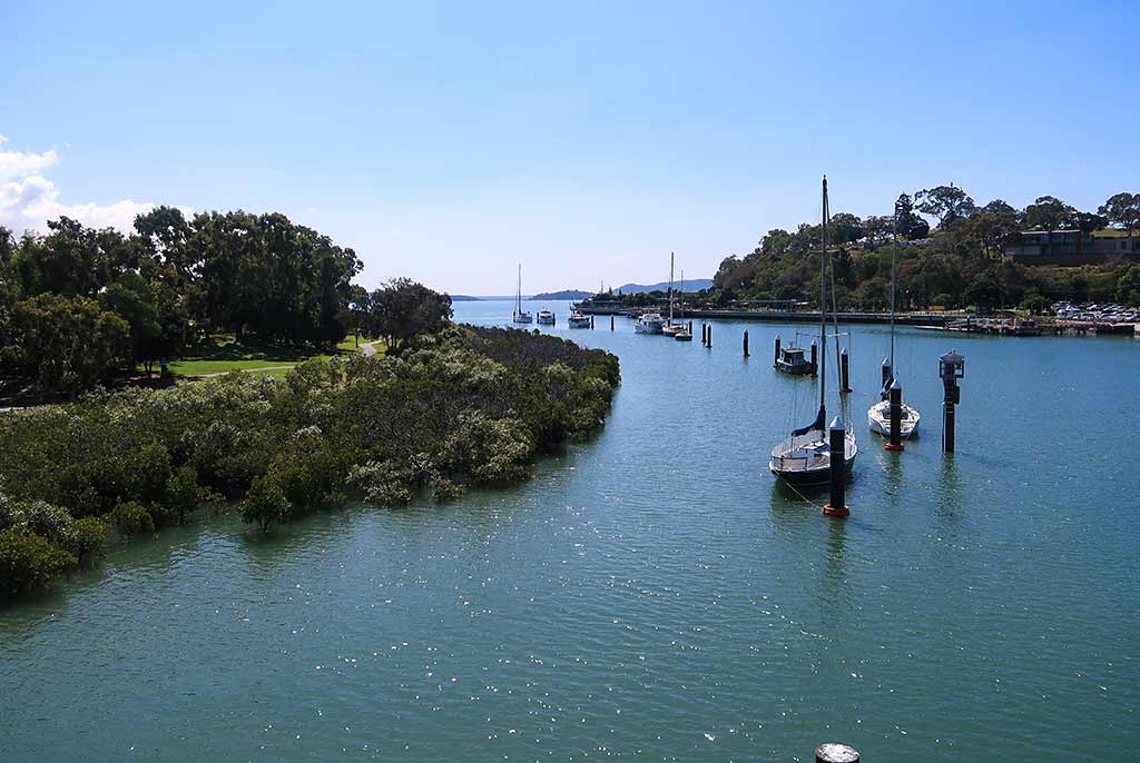
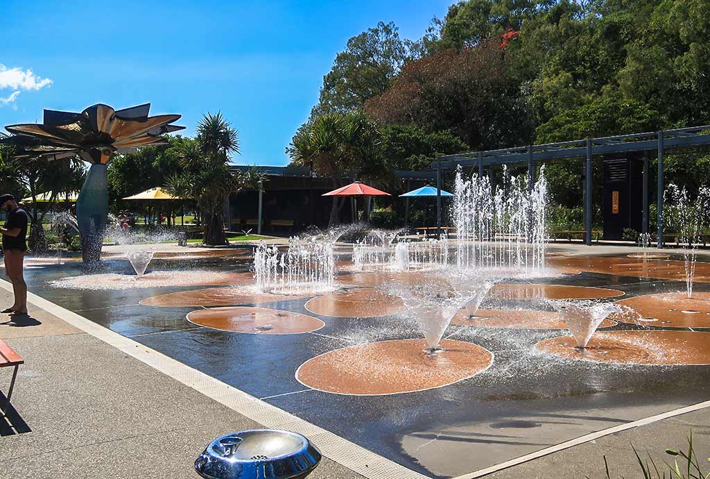
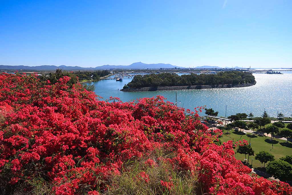
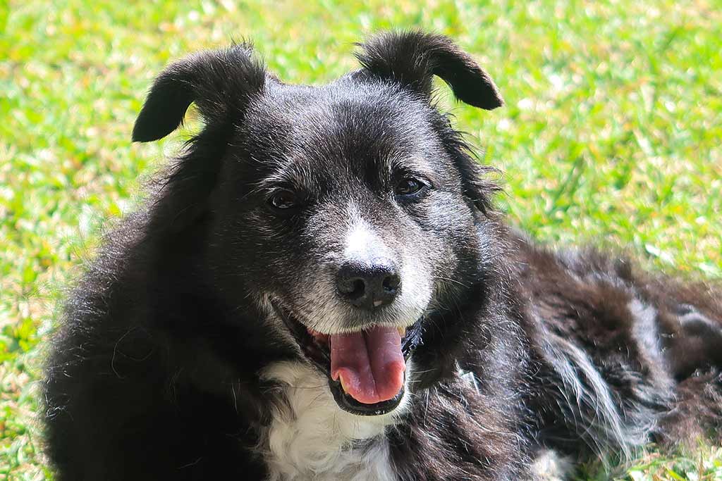
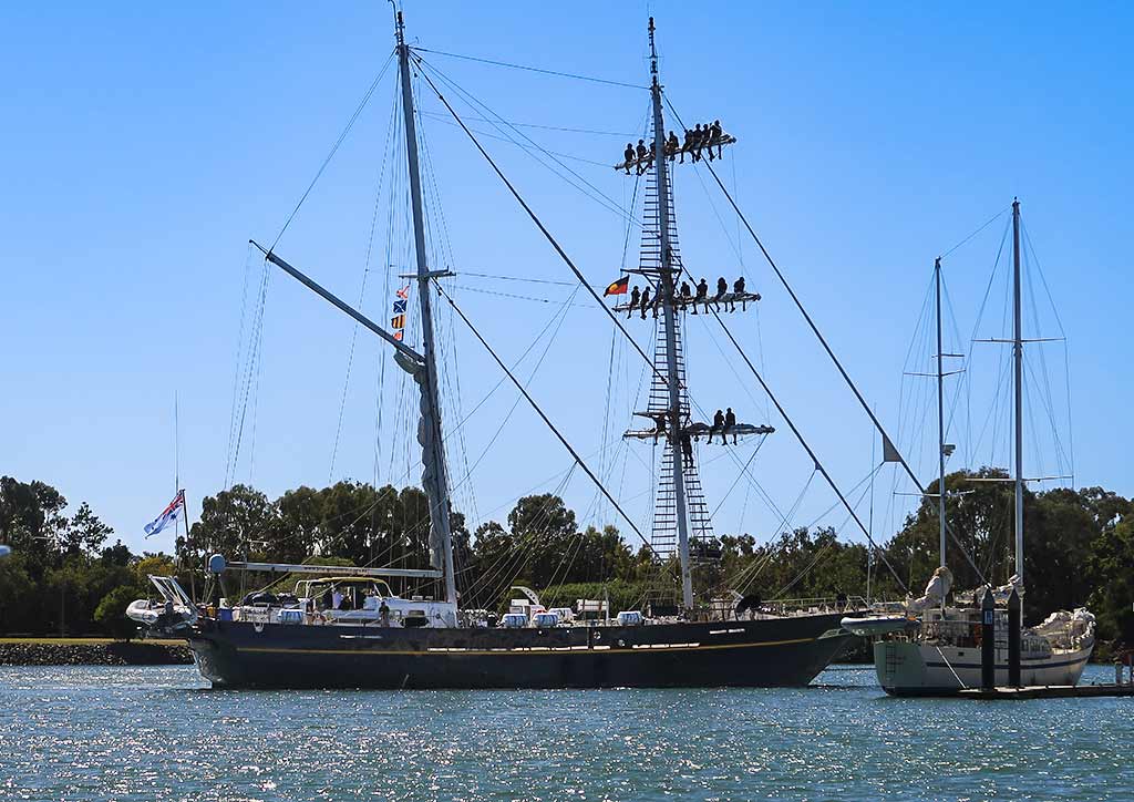
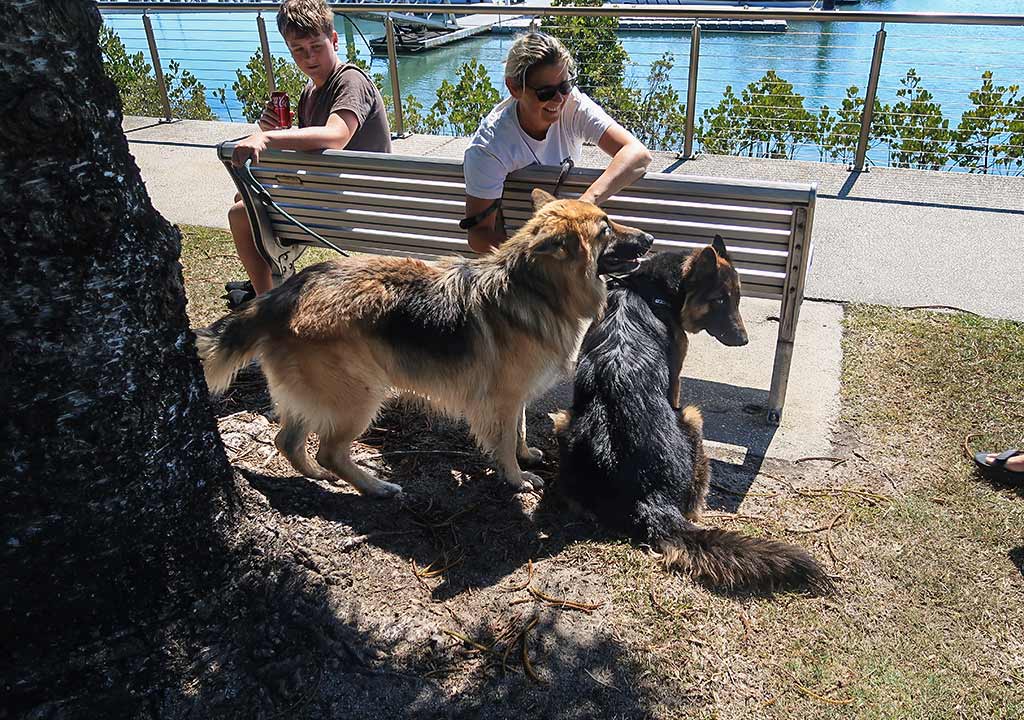
As far as my impression of the city, I’d call Gladstone tolerable and wouldn’t recommend land-traveling tourists go out of their way to see it. For cruising sailors, though, it’s well worth stopping at this particularly nice marina that sits in a park full of birds, surrounded by water that seems extra sparkly. Below, a few miscellaneous photos from our time here that didn’t make it into the previous photo galleries (click any photo to enlarge).
In retrospect, I’d say aside from the luxurious Soldier’s Point Marina in New South Wales, Gladstone is the nicest marina on the entire east coast of Australia. (And yes, we’ve seen them all.) Saying good-bye to this place would be bittersweet.–Cyndi