Tasmania Report: An Unexpected Stop in Stanley (Tasmania, Australia)

April 4 – 11, 2017

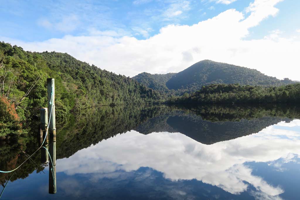
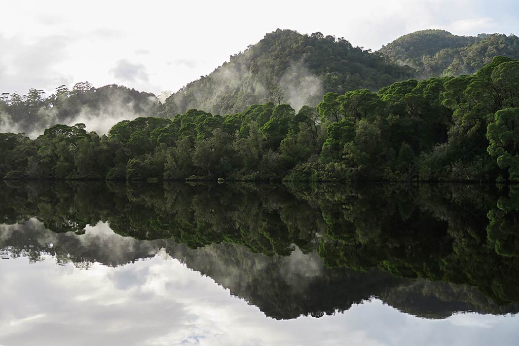
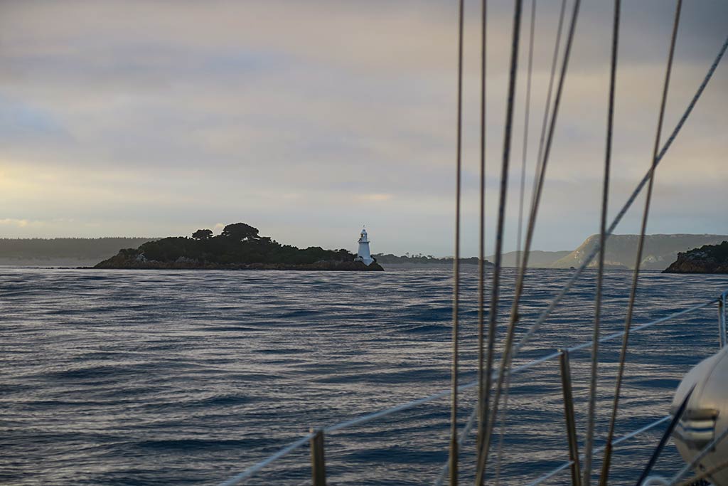
With summer turning to autumn, it was time leave Macquarie Harbour and head back to mainland Australia. This would be a big trip entailing an overnight passage just to reach the north coast of Tasmania, then a long journey over the top of Tasmania and up to the southeast corner of mainland Australia. From there, it would be another 30-miles north to a place called Eden. To make a trip of this magnitude we’d need a great weather window, and luckily we seemed to have one. Below, a map including our intended route (in blue) plus the one we actually ended up doing (in yellow).


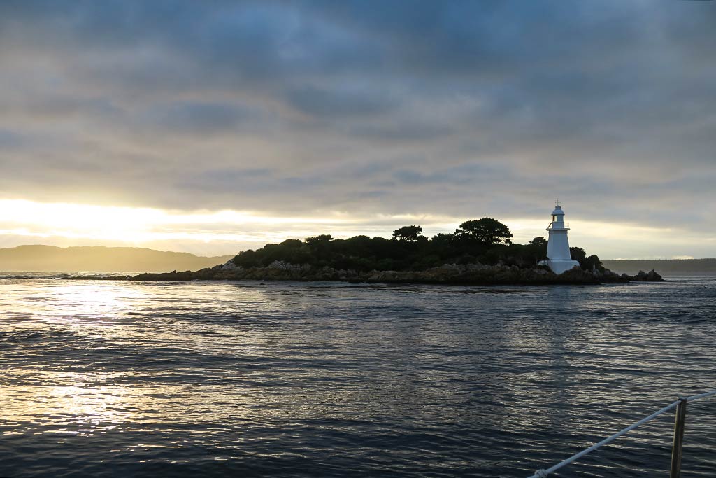
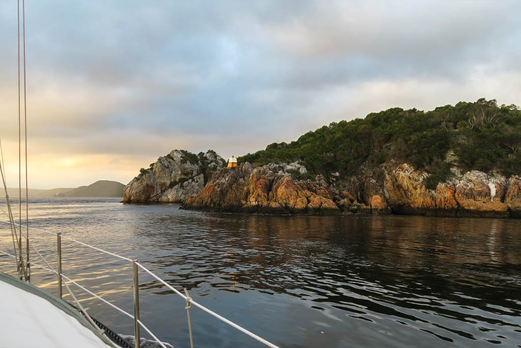
We left early in the morning of April 4, and after the current spat us out through Hells Gates at 9 knots, we had a calm sea and easy motoring conditions. This lasted all day and into the night, but around midnight the wind started to come more from ahead of us. Rich checked the weather and saw the latest forecast. It seemed the winds were shifting more from the north, and we needed a change of plan.

We had a couple of Plan B stops in mind but both were on the south coast of mainland Australia which would have us going into the wind–not acceptable. I remembered reading about a town on the north coast of Tasmania called Stanley. In my cruising-guide research, most towns on the north coast of Tasmania had gone into the “No” folder, generally because they were too shallow for us or didn’t sound all that interesting.

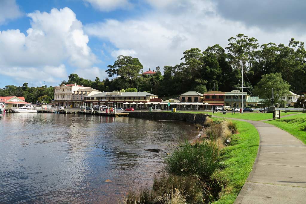
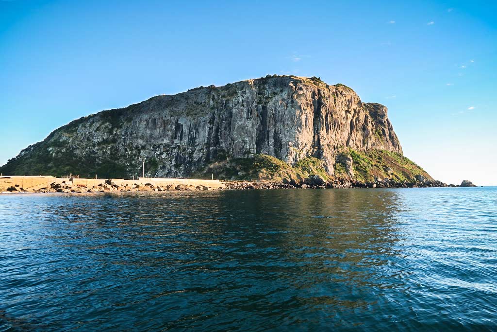
In the end, Stanley had been possible but didn’t sound worth the effort. The impression I’d gotten of Stanley was that of a small town with a harbor so full of fishing boats that we’d have to hunt for a temporarily vacant spot to tie up (and be ready to vacate should the owner return), or maybe anchor in a less protected spot. I knew it had a rock monolith that was popular to climb (called the Nut), but even that didn’t sound all that interesting. I pictured a small dreary fishing town where we’d have to switch places as they became available. No thanks. But now in our current situation, I had to give it a second look. I soon realized it would be a good haven for us, dreary or no, until another weather window appeared.

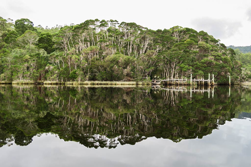
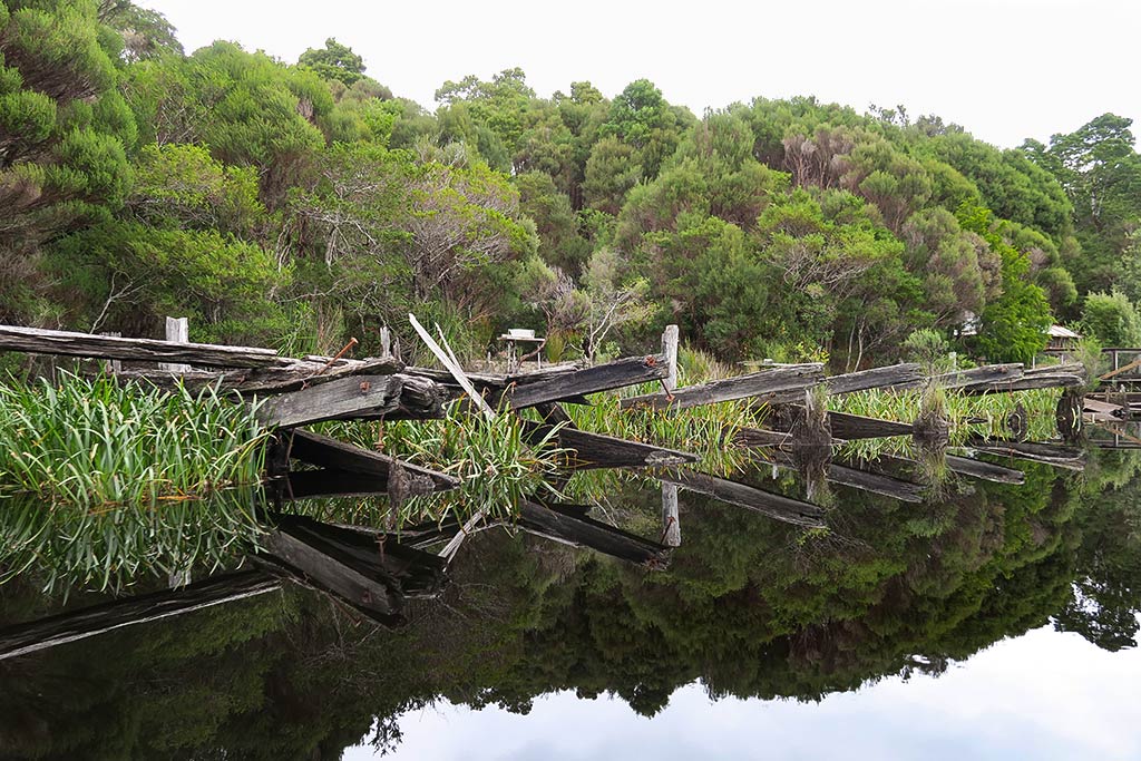
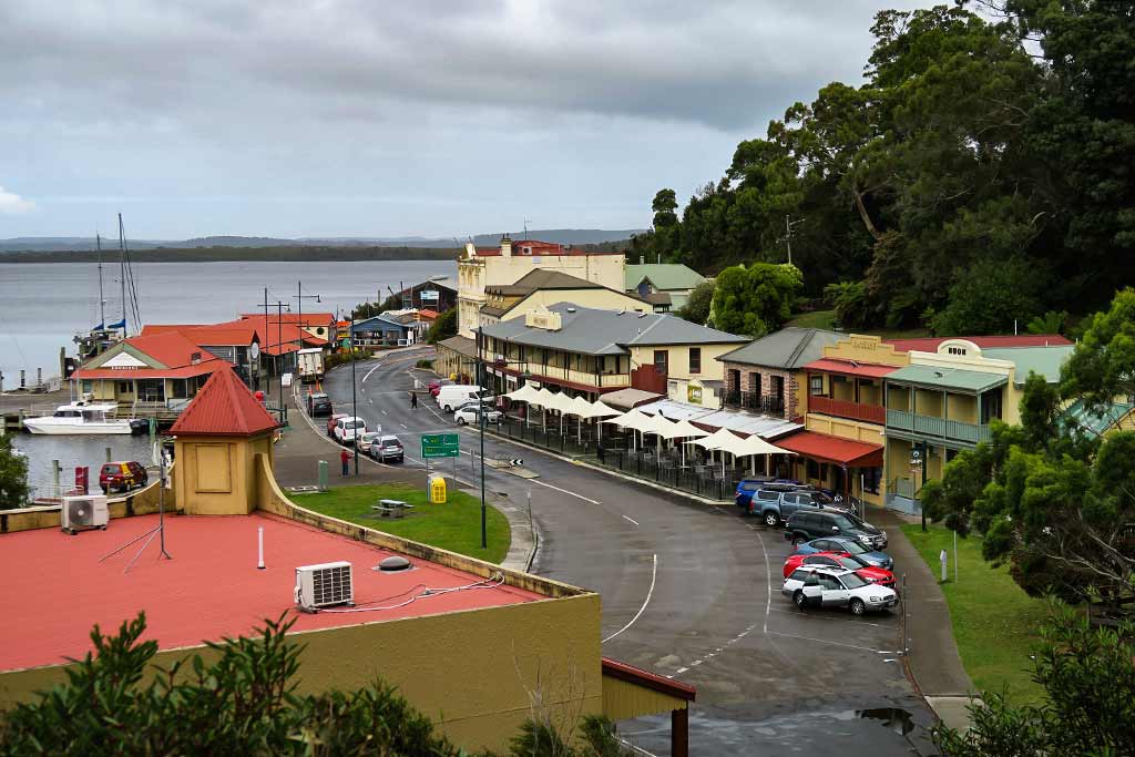
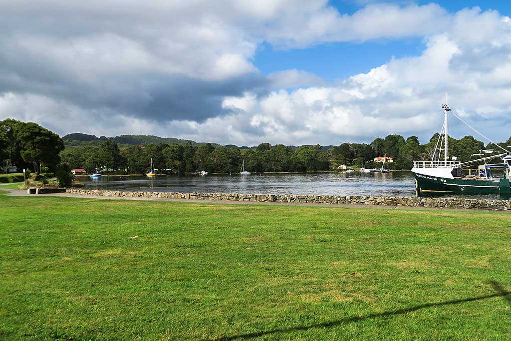
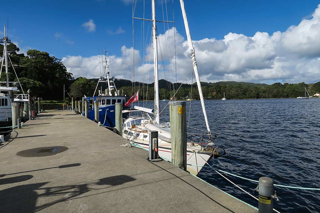
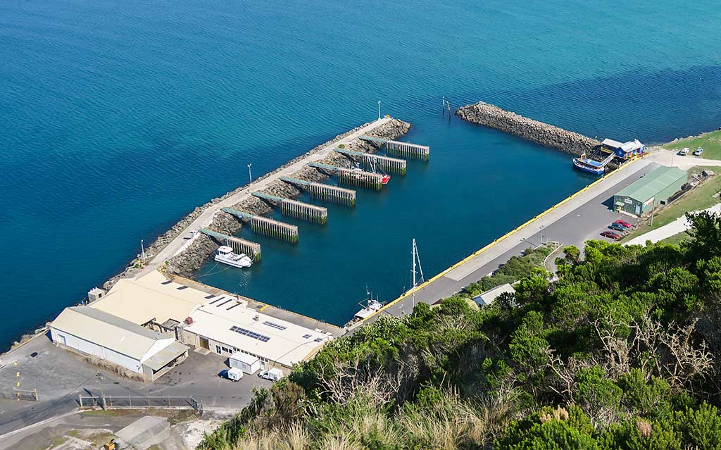
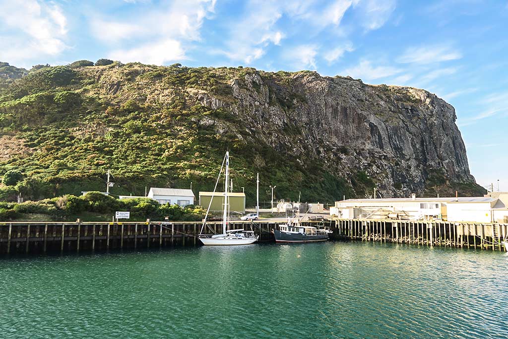
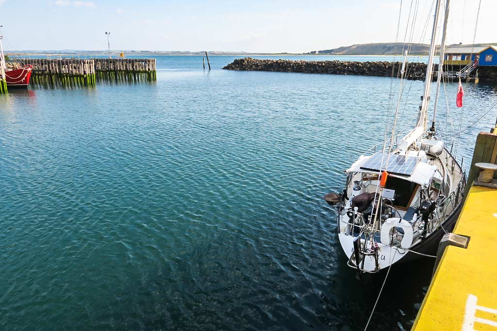
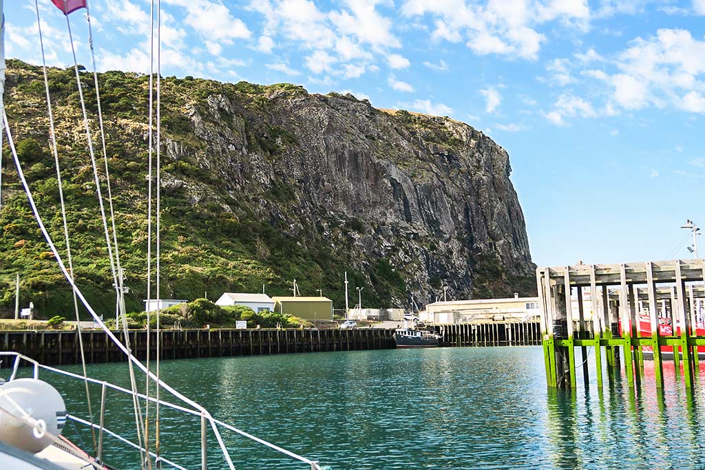
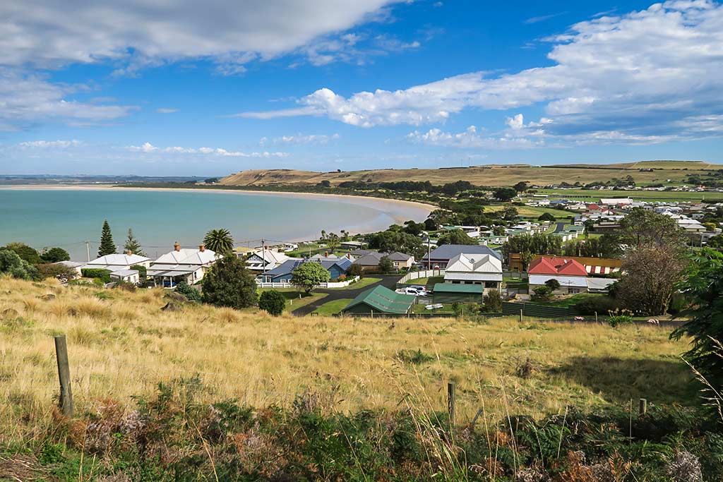
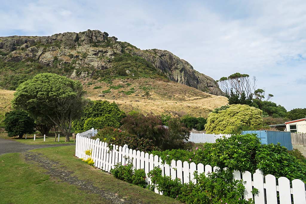
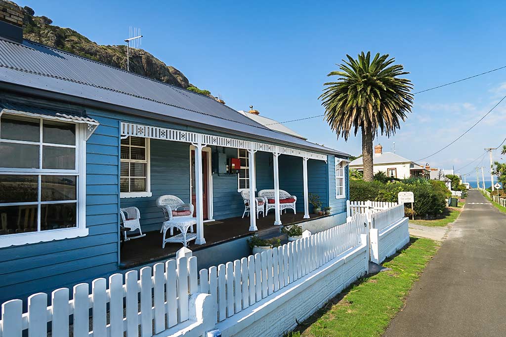
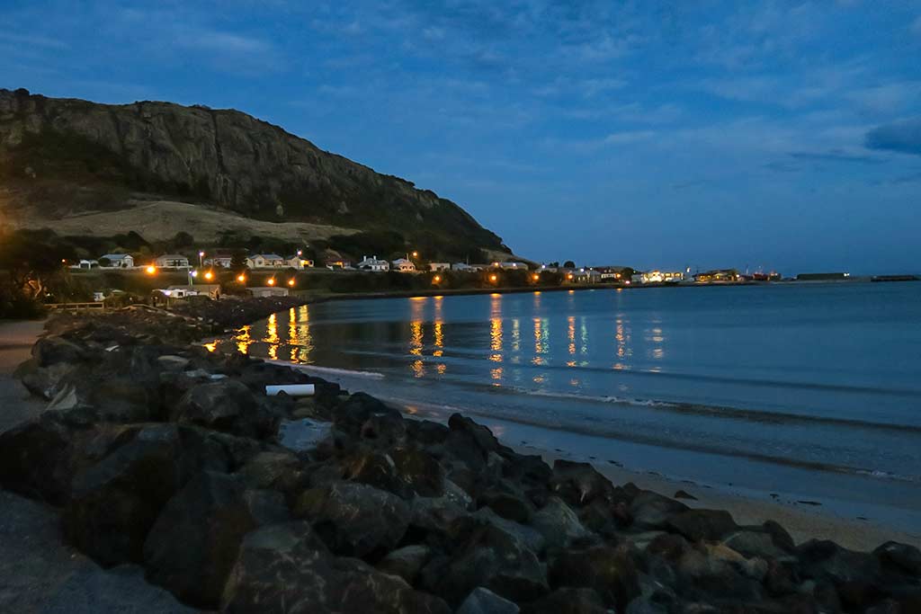
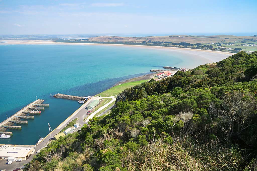
It turned out that all my impressions were way off (a reminder not to rely on cruising guides for info about the look or feel of a place–that’s a job for Lonely Planet). The town of Stanley lies tiered along the base of a steep-sided, flat-topped rock mountain, flowing out onto a relatively flat grassy isthmus and peninsula that connect it to mainland Tasmania. Even as we approached from a distance, we could see this place was fantastic looking. The boat harbor did indeed have fishing boat pens, but there was a huge back wall that was long enough for several visiting boats to tie up. Below, a satellite photo of Stanley’s town including Stanley Boat Harbour.


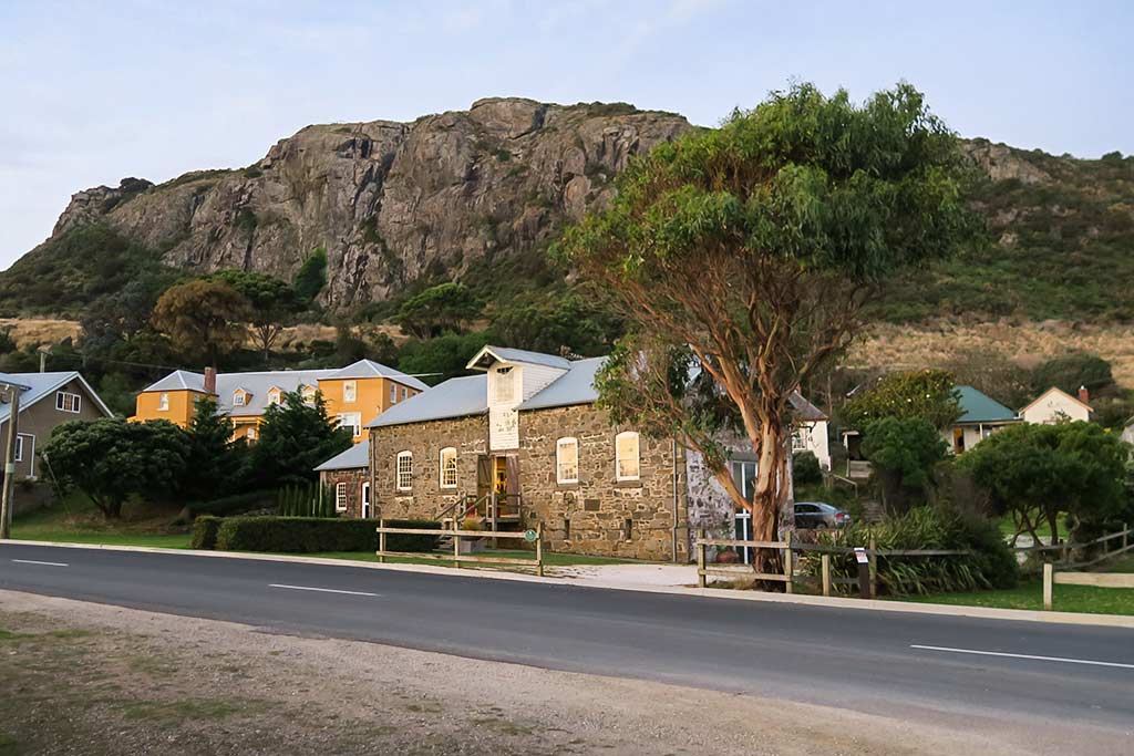
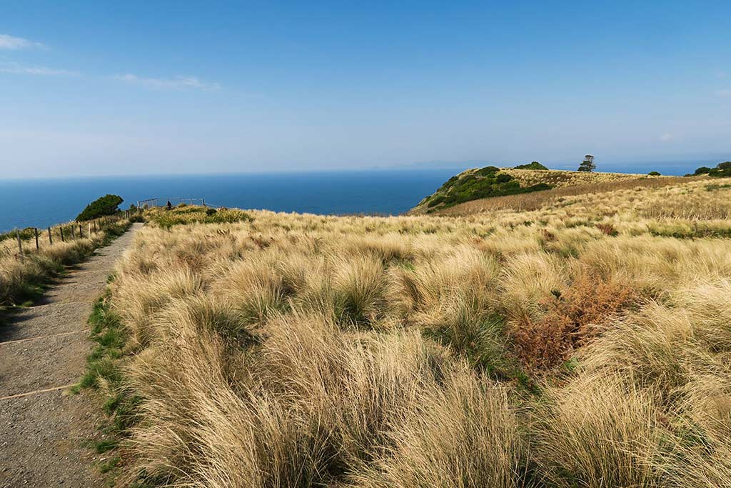
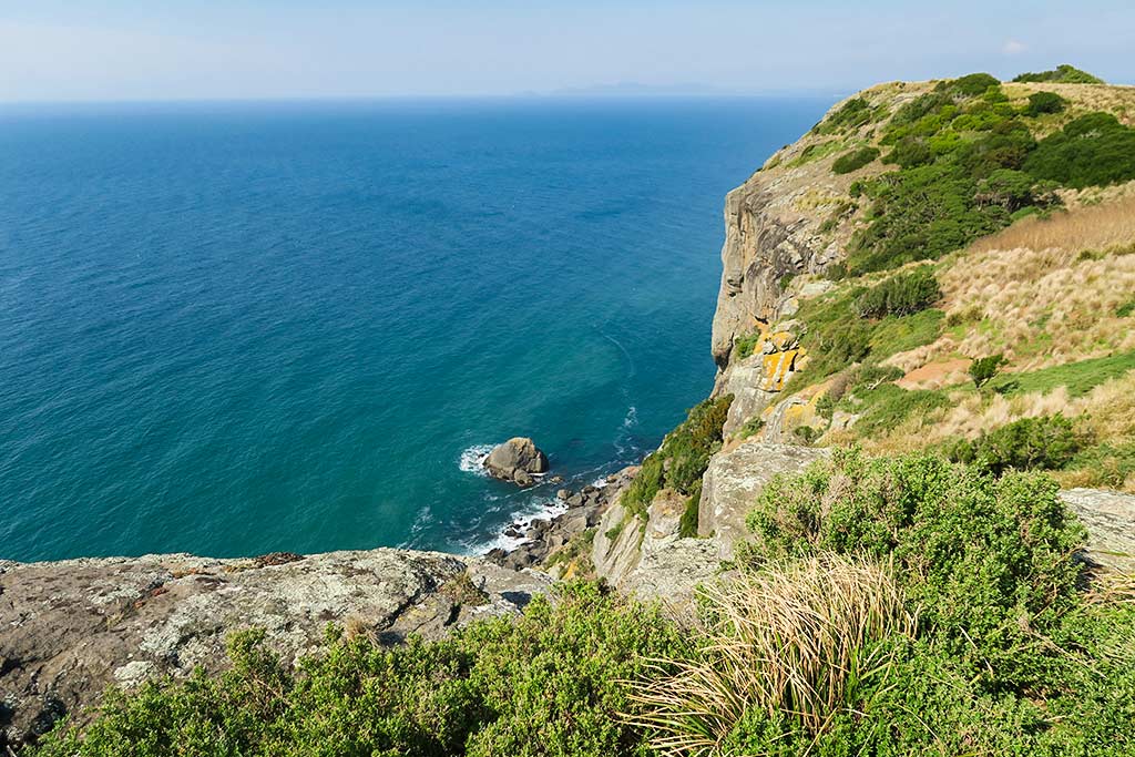
The rock monolith rises straight up from the boat harbor to a height of 470 feet, a rather astonishing sight. Below, a few photos of the harbor. (Click to enlarge/scroll through any of the following galleries.)

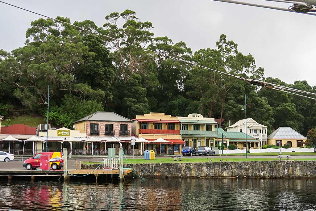
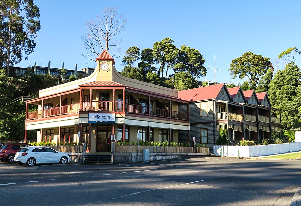
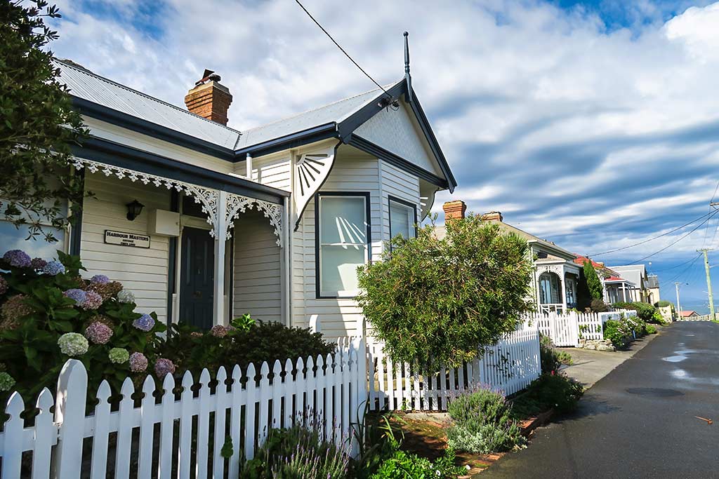
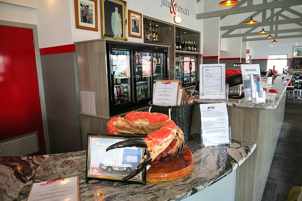
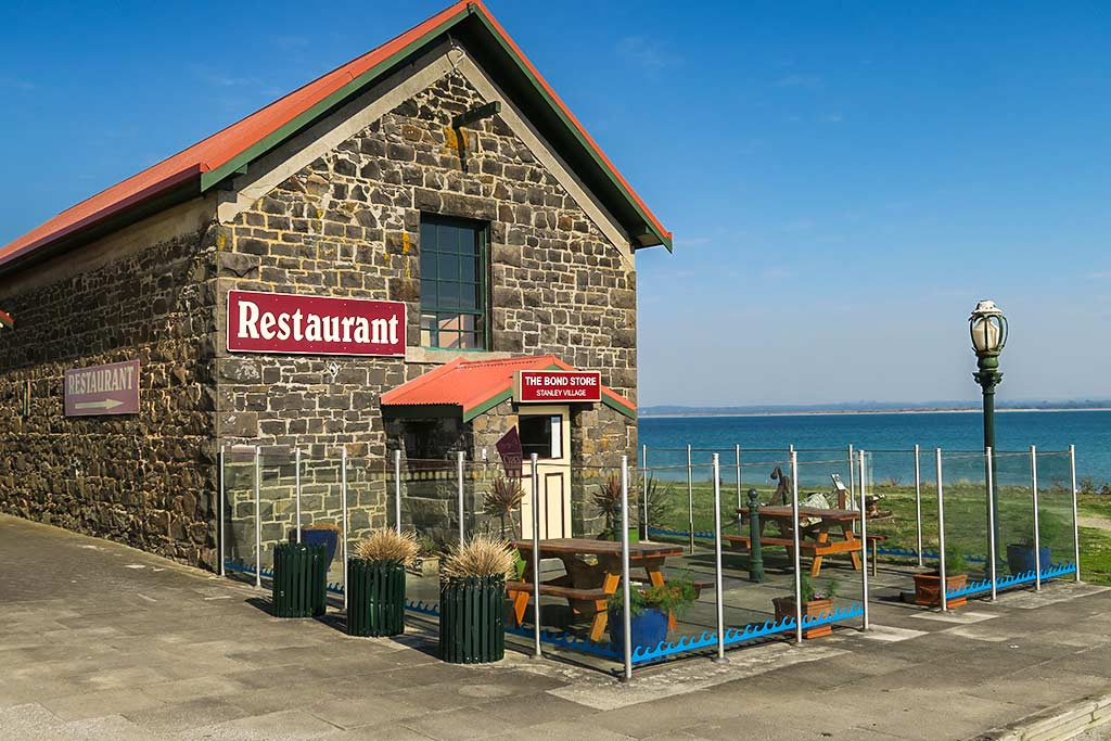
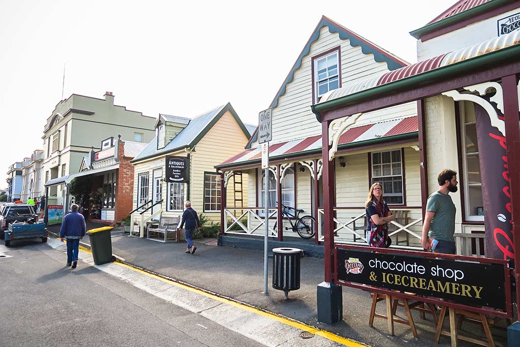
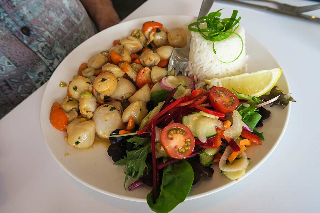
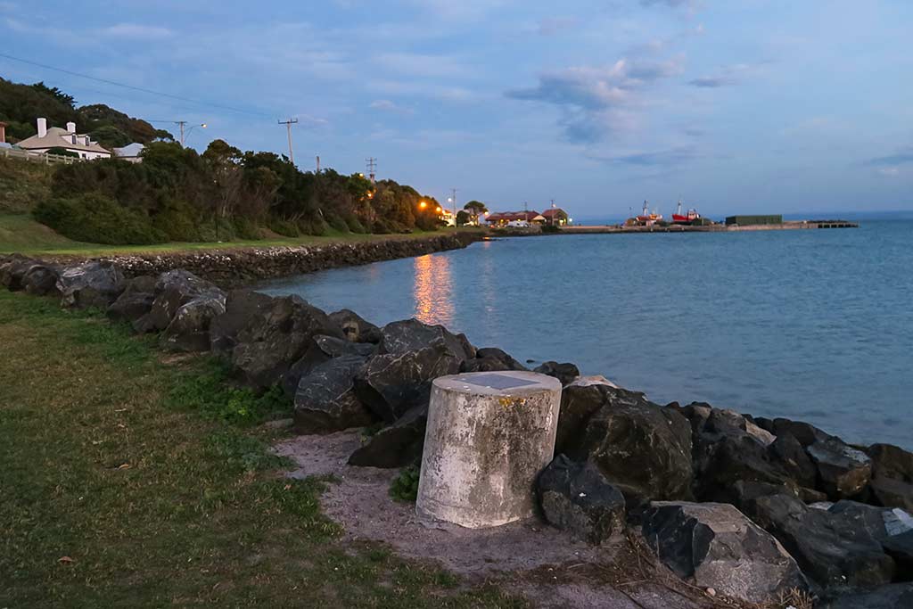
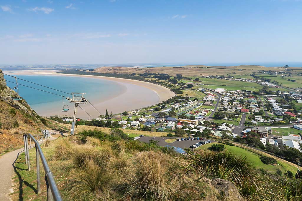
The hillside area of town is a short walk from the harbor, the street leading to it lined with charming cottages dating back to the 1800s, all restored with beautiful woodwork and gardens, with views of the shoreline and isthmus below. The center of town is full of cafes and shops in historic buildings. There are enough residents and tourists here to support a these cafes and a very good seafood restaurant. Down on the isthmus is what I call the “live and work” section of town, with modern buildings, modest houses, and business that serve daily life that don’t fit into the cottage theme of the upper area of Stanley

Climbing the Nut, it turned out, was nothing to sneer at. There’s a path for those who want to walk up, and a chair lift for those who want to ride. We opted to walk up, then take the rather long loop track around the top. By the time we’d done all that, already stiff and sore, we needed the chair lift to get back down.

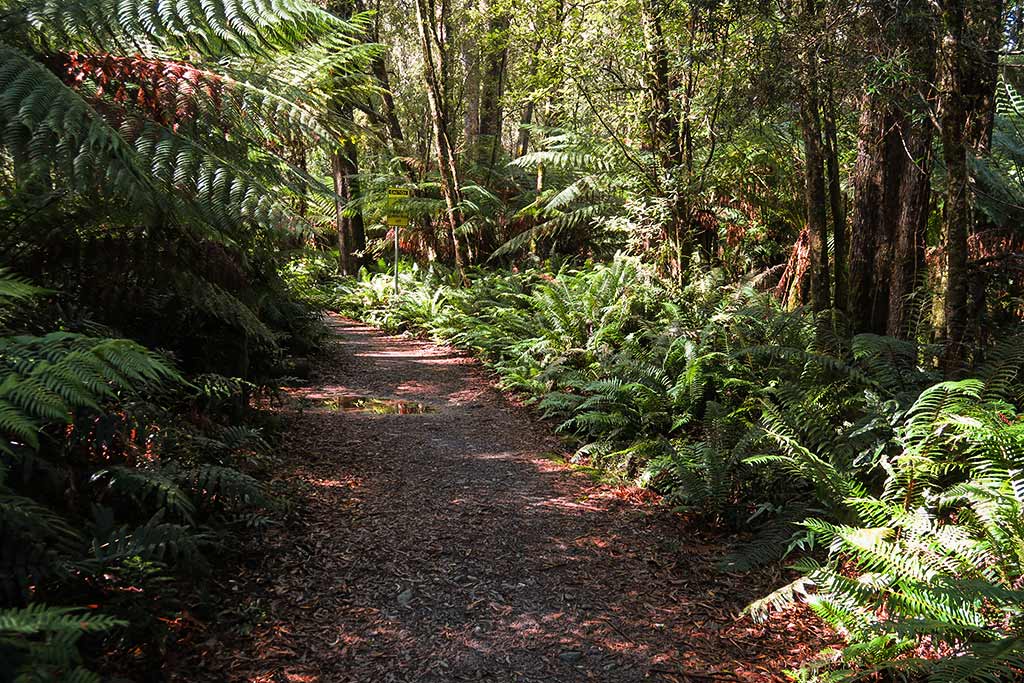
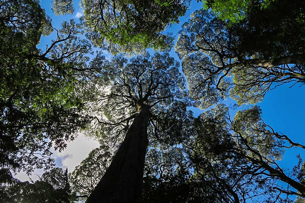
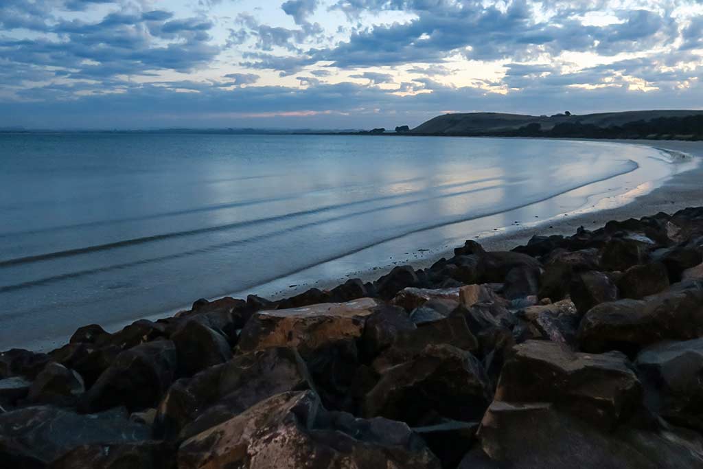
We ended up spending a few days in Stanley waiting for another weather window and enjoyed each day. The walk from the harbor to the main part of town took about 10 minutes, but the changing light over the views of the shoreline, the isthmus, and the lower parts of town made it seem new each time. We also enjoyed some fabulous food and met some very nice people. We’d been sad to leave Tasmania; so this felt like a reprieve, one more chance to experience Tasmania’s exceptional food and scenery.

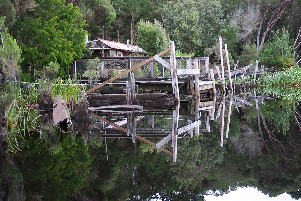
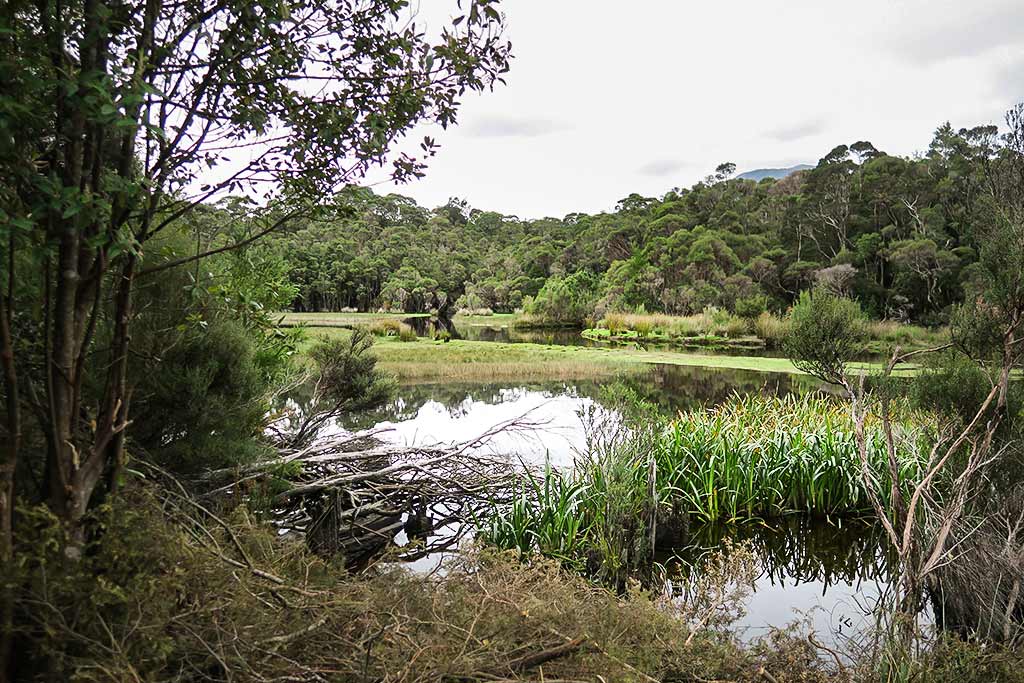
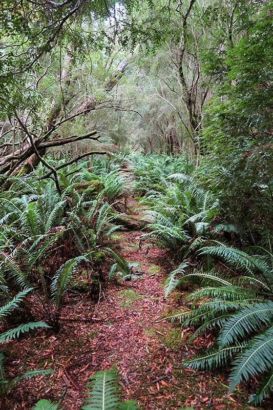
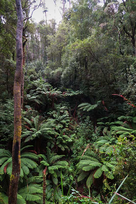
Of course after our Stanley experience, I wanted to give all the towns along the north coast a second look in my research. It turns out they each have something special to offer. We already plan to come back to Tasmania to see things we missed, including some of the national parks and the river city of Launceston, and now it seems we may want to try anchoring in some of these intriguing north coast towns if we’re brave enough to dodge some shallows and sand bars.

In the end, another great weather window came along, and we set off early in the morning of April 11 and over the course of 4 1/2 days made it all the way to Sydney. We have so much we enjoyed during this season’s visit to Australia, but Tasmania definitely stands out as extra special. So special, in fact, that we’re already planning a return trip sometime in the future.–Cyndi

Leaving Tasmania (Attempt #1)

April 4, 2017

The weather looks good and we’re ready. In a few minutes, we’ll be shoving off, bound for Mainland Australia. Our plan is to do the trip in one long hop and one short one. First, we’ll sail (motor actually as the wind, as predicted, will be very light) up the west coast of Tasmania, across the Bass Strait, to an island called Gabo. We’ll spend the night there, wait for the northerly winds on the east coast of Oz to subside, and then head another 80 miles or so to Eden. At least that’s the plan. -Rich


Update: We didn’t quite make it to mainland, Australia. Our weather window closed and we diverted to Stanley on Tasmania’s North coast. We’re tied up in a strange, but safe, and comfortable little harbor. Today we had abalone, lobster and scallops. Life’s not too bad!

Tasmania Report: Macquarie Harbour, Part 2 (Tasmania, Australia)

March 31 – April 4, 2017

While the Macquarie Harbour area has lots to see, it’s the Gordon River that’s the main attraction. There are two big motor catamarans that run day trips from Strahan to a landing five miles up the river called Heritage Landing. Once there, passengers disembark and walk a loop track through the rainforest before heading back to Strahan.

Private yachts, however, have the option of continuing on to a place called Sir John falls, about 20 miles up the river. It’s a spectacular trip as the river winds through hills covered in lush rainforest. Like Port Davey, the water here is dark, and, when still, creates a mirror reflection of the scenery above it.

We opted to make the (rather long) trip from Strahan to the Gordon River entrance, then continue to Heritage Landing. Here, we spent the night before heading to Sir John Falls the next morning. Below, some photos from Heritage Landing. (Click to enlarge/scroll through any of the galleries below.)

Once we’d tied up at Heritage Landing, we did the circuit walk through the forest. It was so pretty we did it again the next morning before we headed on.

As we made our way up to Sir John Falls, the river was still and at times so reflective it was almost disorienting. We did find, however, the famous changeable weather of Tasmania as it would cloud up and get chilly, then the sun would pop out again. Below, a gallery of photos of the Gordon River.

We barely got tied up to the landing at Sir John Falls when we got quite a downpour. It passed quickly though, and we made the short walk to the beautiful falls.

After enjoying lunch and the falls, we decided to head back down the river to Heritage Landing to spend the night. Once again we got to enjoy the amazing beauty of the river and its remarkably fickle weather as we had sun, clouds, and two separate hail storms during our trip down the river.

Spending the night at Heritage Landing (instead of Sir John Falls) gave us time the next morning to head to an area called Kelly Basin in Macquarie Harbour. Besides being a very pretty place, Kelly Basin has a couple areas of interest. The first is an old train yard with some relics from the past, including a cabin that’s meant to shelter anyone passing through and a path into the forest. The other area is the remains of a town with old steam boilers, brick kilns, and other artifacts. Here we ran into a Tasmanian surprised to see us, saying “you must have done your homework” to end up here. Not so much–this is a pretty mainstream area for boats who make it here–no special homework needed. Below, a some photos from the Kelly Basin area.

We planned to visit more anchorages, but once again a weather window was coming that would allow us to leave this area and get back to mainland Australia. We considered waiting for the next one, but helpful local fishermen advised us that with the season changing we should grab this one. With that, we decided to head back to Strahan and prepare to head north. We’d liked to have seen more of this area, but we’ll just have to come back some other time. –Cyndi

Travel Notes: There is a way for land travelers to get up the Gordon River to Sir John Falls: book an overnight trip with Trevor Norton on his large sailing yacht Stormbreaker. He’s a great guy, extremely knowledgeable about the area, and his boat is roomy and very comfortable. If we weren’t here on our own yacht I wouldn’t hesitate to book a trip with him (and I’m picky about this sort of thing). Depending on what trip you take, you can visit Sir John Falls plus visit Macquarie Harbour’s historic Sarah Island.

Visiting yachties should also seek out this man and borrow or buy a copy of his map with information about going up the river. Except for one short area near the entrance to the river, the water is very deep – often 50 to 70 feet deep even right along the shore. There are shoal areas but by observing the usual river navigation rules (stay to the outside of bends in the river), they are easy to avoid. We never came close to grounding.

Tasmania Report: Macquarie Harbour, Part One (Tasmania, Australia)

March 25 – April 4, 2017

Macquarie Harbor isn’t held with quite the same reverence as Port Davey, but it should be. It, too, is on the dreaded west coast of Tasmania, but more towards the northern end. Unlike Port Davey, it’s an area lush with rainforests.

Macquarie Harbour is large, nearly 20-miles long and 5-miles wide. On the west side is the pretty town of Strahan (pronounced “Straun”), and at the southeast end is the entrance to the Gordon River. In between are several nice anchorages and big fish farms. While this harbor has lots of good reasons to visit, the main tourist attractions are Hell’s Gates and the Gordon River. Below is an interactive map showing where the key points are, including some popular anchorage areas.


Hell’s Gates is the entrance to this harbor, mostly very shallow, with only one narrow entrance having sufficient depth for vessels to pass through. All that water coming and going from the ocean can make for a pretty wild current. Since we could only enter and exit at slack tide, we never witnessed this big tidal show and wondered what all the fuss was about. Friends who’ve seen it have since assured us it’s really impressive when it’s flowing. Below, a few photos from our ride through Hell’s Gates. As you can see, it wasn’t all that hellish.

Once through the entrance, the first stop for a yacht is generally the town of Strahan. It’s quite small and lies along the waterfront at the base of a hill. It has a few historic buildings, a nice pub, fishing boats, a couple of restaurants, and it used to be a center for logging the Huon pine used to build wooden ships. The pines are no longer cut down but instead old logs are dug up, the wood still good because it pretty much lasts forever in any conditions. In spite of the peaceful and quiet feeling of this little town, it has a fair amount of tourists passing through because it’s the hub for the Gordon River tour boats.

Below, a few photos of Strahan. (Click to enlarge and scroll through any of the photo galleries in this post.)

We rode out a weather system in Strahan, both on a mooring and tied up to the dock, before setting off to do more exploring. What a lovely, pleasant place! One of our favorite things here was the heavily forested walk to Hogarth Falls, not nearly as well publicized as it should be, but I guess the Gordon River overshadows it. Alas, we didn’t spot any of the local platypuses who live in the river, but we did enjoy the beautiful walk and the waterfall. Below, a few photos from the walk.

After a few days, the weather cleared, and we set out explore the Gordon River, which will be the subject of the next Tasmania post. –Cyndi

We’re in Macquarie Harbour

March 27, 2017

We made the 19 hour trip from Port Davey to Macquarie Harbour the night before last and then went to bed for the rest of the day. We still haven’t been ashore in Strahan because the wind is pretty strong right now. We made it in before this blow started. In fact, we motored in less than 5 knots of wind the entire 80+ miles. Here’s where we are…


As we motored into town, a man on a beautiful steel sailboat waved us over. We changed course and he gave us a quick rundown on town, including an offer to use his mooring just off the town. We have met so many wonderful people in Tasmania. This is really a special place! -Rich