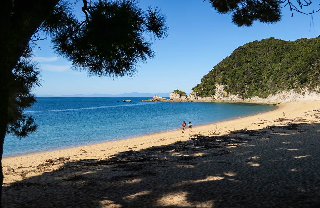
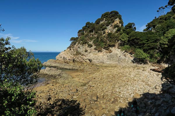
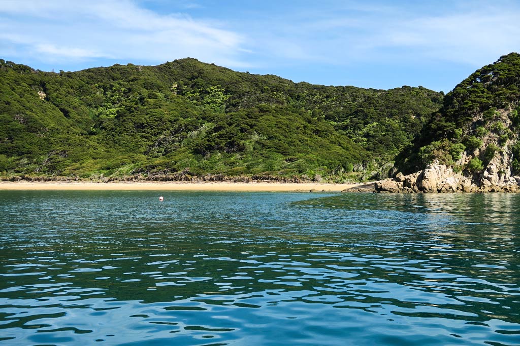
Our next stop was Anatakapau Beach. It’s basically a continuation of Mutton Cove Beach, divided from it only by the small headland, but it kind of lacks its “wow” factor.
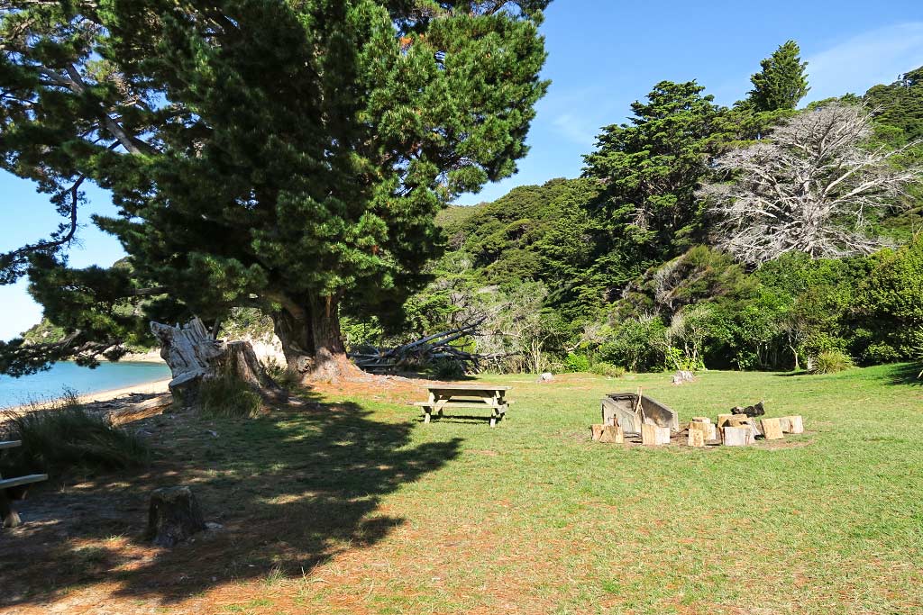
Up an embankment lies a large grassy area with a good-size campground mostly hidden among the trees. The lawn area with its large fragrant pines was a very pleasant place to linger.
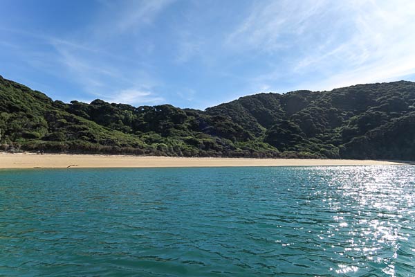
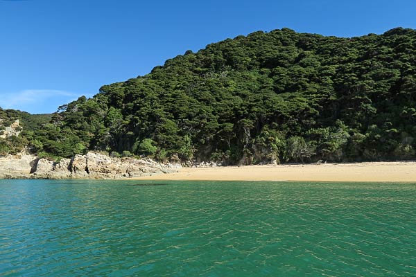
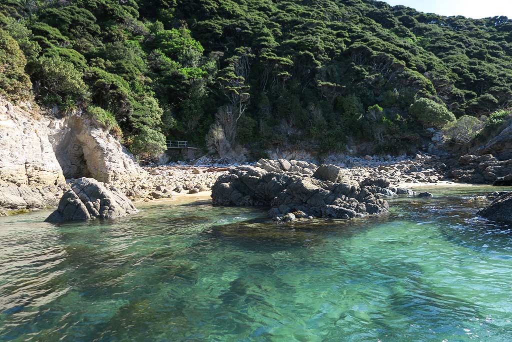
Below, a few photos of the Anatakapau Beach area. Click to enlarge and scroll. –Cyndi
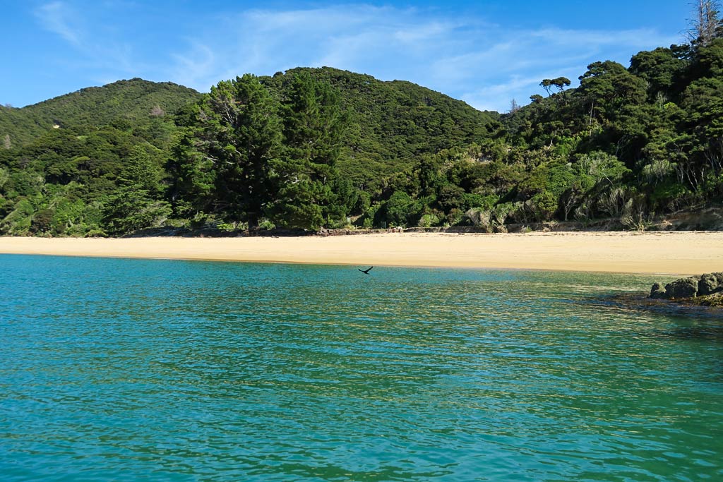
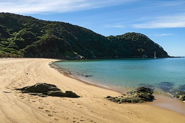
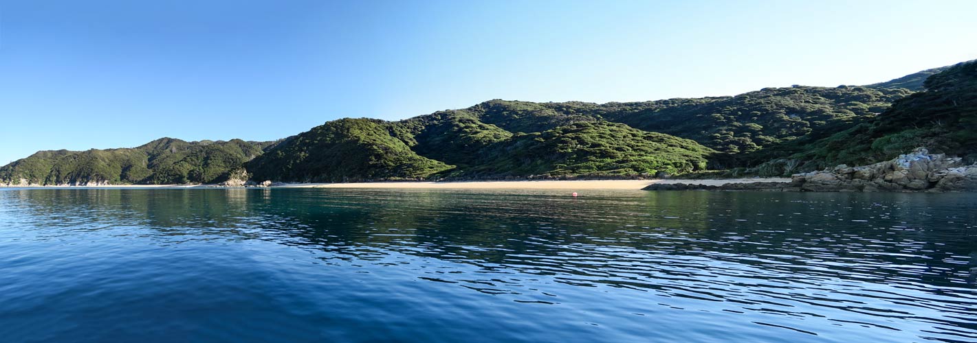
Our first stop on our exploration of the Mutton Cove area was Mutton Cove Beach.
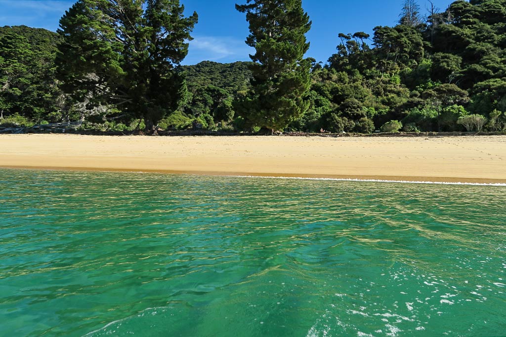
Heading into the beach at Mutton Cove.Emerald water, golden sand, and lush forest beckoned as we approached Mutton Cove beach.
As we pulled our dingy onto the beach, our feet sunk into the sand necessitating that we carry, rather than roll, the dinghy up to the high tide mark. The sand was coarser than we’re used to, the kind that gives you an involuntary foot exfoliation as you walk on it. We opted to keep our sandals on.
While it wasn’t the softest sand to walk on, it was a beautiful beach. This was our first introduction to the look of many of the beaches here: the sand distinctly golden and beautifully offset by emerald water near the shore. Behind us the forest was thick and lush. I had no doubt there would be beautiful scenery along the trail, but for now we were focused on the beaches.
Looking down towards our boat at Mutton Cove.
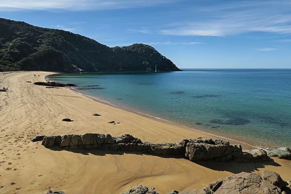
After taking in the beautiful scenery, we planned to walk over the headland to the next beach south. From afar it looked easy, but up close we found we’d have to climb over a big rocky area. No thanks; we’ll take the dinghy.
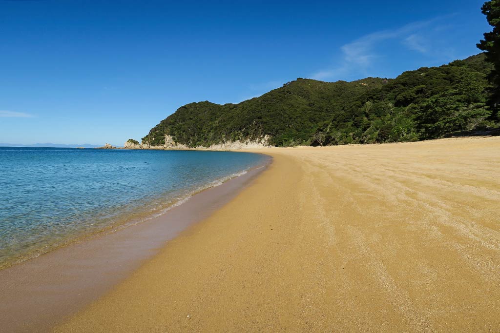
A sweeping view of Mutton Cove beach from the headland.The reason we decided to take our dinghy rather than walk to the next beach at Anatakapau Bay.
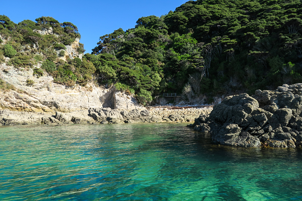
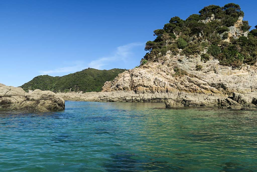
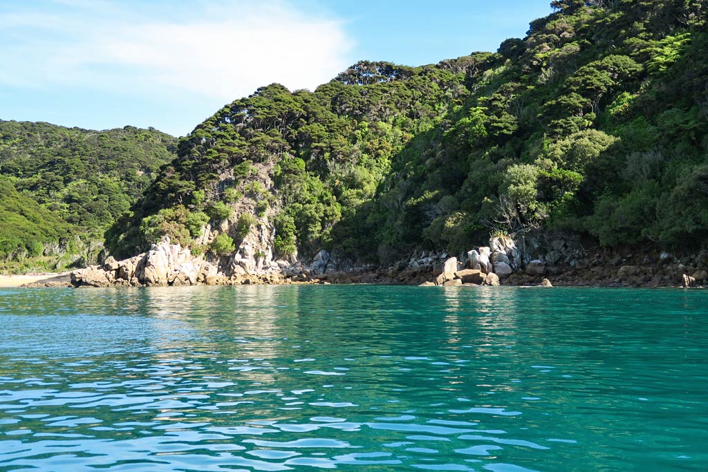
As we motored around the headland to the next beach, we had our first experience with the reason some choose to kayak rather than hike the area: these headlands have beautiful sandstone formations and colorful pools not visible from the shore. From now on we’d take the dinghy around every headland. (Below, photos from our dinghy ride around the headland–click to enlarge/scroll.) –Cyndi
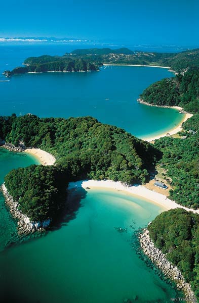
This iconic aerial photo, borrowed from the internet, shows only a small portion of the park but manages to sum up its general look.
Our arrival in Tasman Bay marked our unofficial entry into Abel Tasman National Park.
Mutton Cove marks the north end of this famous coastline filled with miles of golden beaches, weather-carved sandstone headlands, quiet coves, and jungle-like river inlets. All this is backed by hills covered with native forest. Because the area is protected by various land masses, the beaches have no waves, giving it a peaceful, lake-like effect.
The interactive map below shows the Abel Tasman National Park’s coastline from it’s northernmost to southernmost points.
That’s not to say that weather isn’t a factor. It’s fairly mild, but morning northwesterlies generally switch to late-afternoon southeasterlies, which can make the anchorages choppy and uncomfortable if the breeze is strong. When an actual weather front comes along, boats need to be in a well-protected anchorage because the associated winds can get pretty strong.
Our strategy was to enjoy the several-day period of very light winds (enough so the evening breezes wouldn’t be an issue), and work our way south to a protected anchorage in time for a coming front.
We made our way into Mutton Cove, tucking in behind a small peninsula called Separation Point. This anchorage would give us dinghy access to three beautiful beaches: Mutton Cove, Anatakapau, and Anapai, and after several days on the boat we were anxious get out and do some walking!
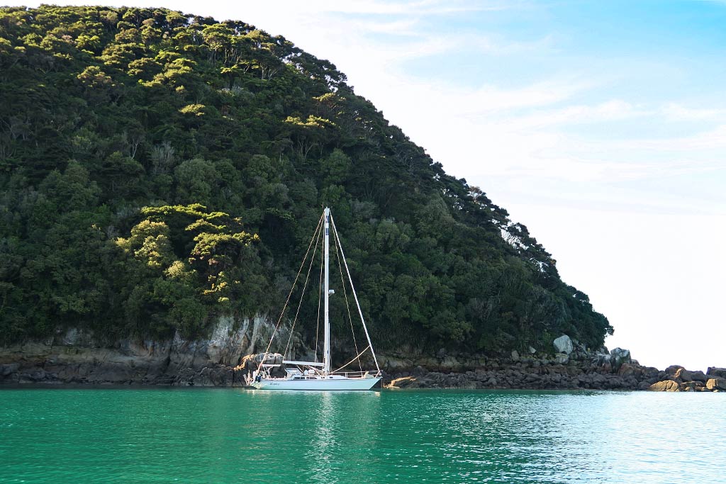
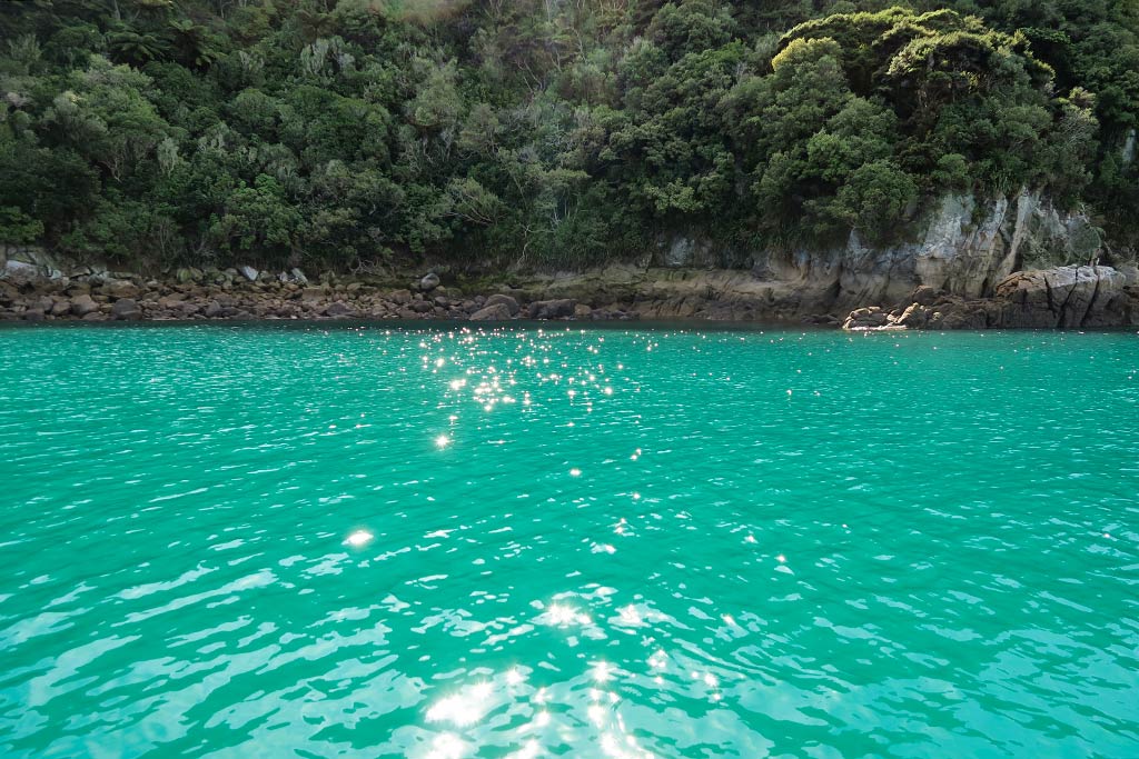
Below, a few photos of our Mutton Cove anchorage. (Click to enlarge/scroll).
Incidentally, this area has a famous hiking trail: the Abel Tasman Coast Track. Like the Queen Charlotte Track (in the Marlborough Sounds), hikers can opt to do the entire 37-mile-long track over several days, or just do pieces of the track via water taxis and day hikes.
The other option is to do the coastline by kayak, stopping at whatever beach strikes your fancy. Kayakers see less of the forested trails, but some of the headlands and coves not accessible by trail are pretty spectacular. –Cyndi