May 28, 2024

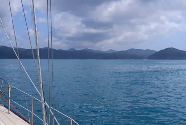
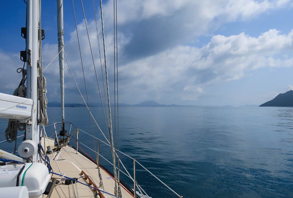
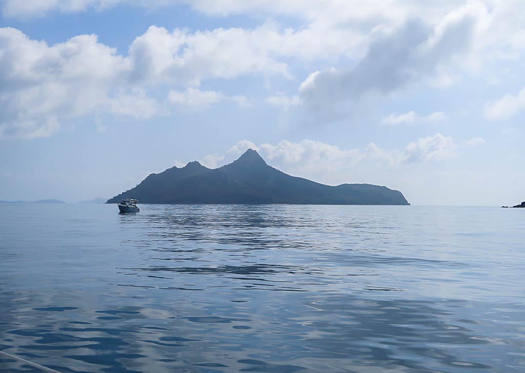
While doing some research as we made our way up the Queensland coast, both through the internet and conversations with Aussie cruisers, I got the impression that peak season in the Whitsundays can be a bit of nightmare. Strong winds not only limit the tenable anchorages, they can also make those anchorages rolly and uncomfortable.
Then there’s the overcrowding. It’s advised that Whitsunday boaters always have a plan B anchorage since it’s common to arrive at one’s destination and find no room. With peak-season crowds, one also needs Plans C and D, or maybe reservations at a marina.
So, why do so many boaters crowd into the Whitsunday Islands between June and early September? The main reason is to avoid cyclone season.
Technically, cyclone season ends in early May and begins in November. However because of the time it takes yachties to make their way up the Queensland coast, many don’t arrive until June. This also means the cruising fleet needs to head south well before November to get out of Queensland (the border of which is a 650-mile, multi-stop journey south of the Whitsundays) before cyclone season. In fact, I’ve noticed that even October makes Aussie cruisers nervous about cyclones. Many prefer to head for the safety of the southern states or cyclone-rated marinas by mid-September. Of course, work schedules can also shorten one’s cruising window.
Cyclone season also coincides with the arrival of tropical heat, humidity, rain, and the proliferation of deadly jellyfish (particularly box and irukandji jellyfish), all of which make chartering a boat or even visiting as a land-based tourist less appealing during that time.
Meanwhile, two major regattas, Airlie Beach Race Week and Hamilton Island Race Week, take place in August. The excitement of sailboat racing combined with numerous festivities is a huge draw for the yacht club and racing crowds. Many people want to be here for race time!
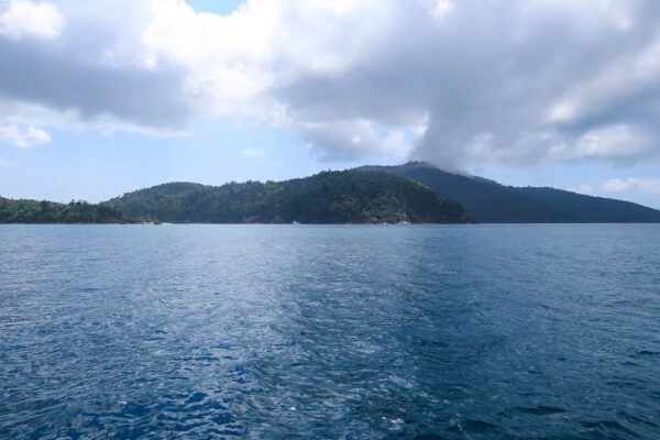
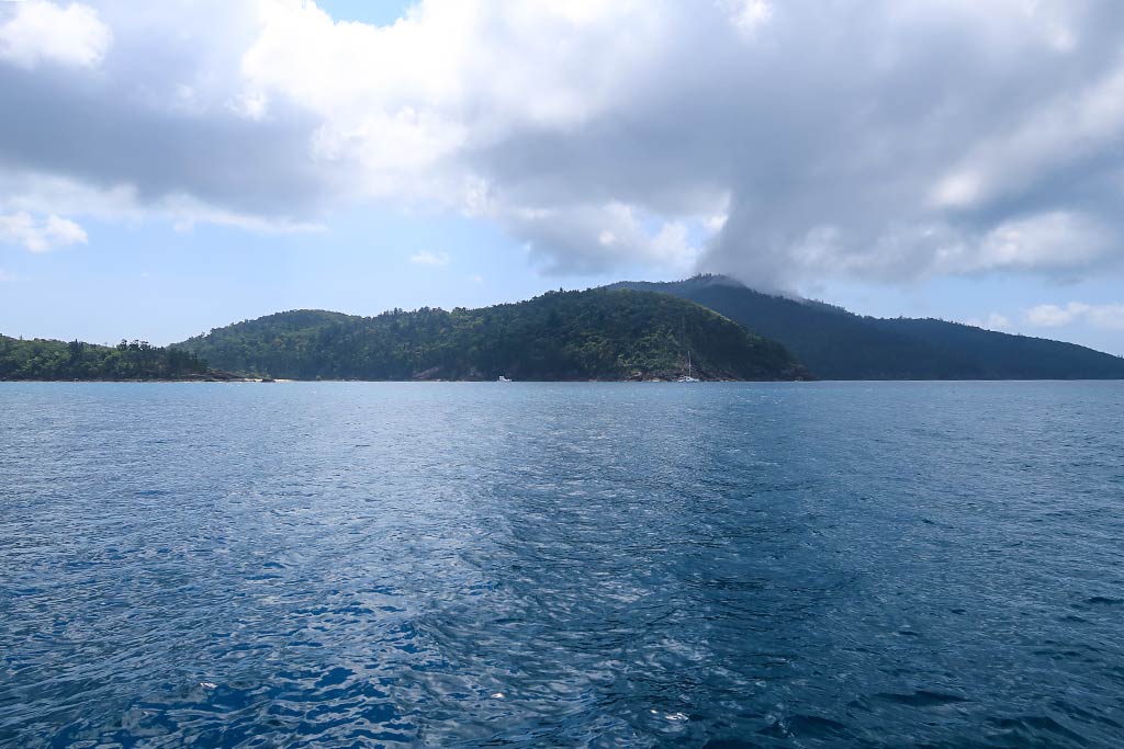
Other than race-week partakers, the best time for anyone, whether they are boat or land travelers, to visit the Whitsundays is during the second half of May (since the first half is both windy and the tail end of cyclone season) and the second half of September through October (when the trade winds die down and the crowds disperse). These periods offer both settled weather and reasonable crowds.
I made this chart below. The good times are highlighted with bold font.
Best Whitsunday Cruising Times
| January |
Cyclone season, heat, humidity, rain, deadly jellyfish |
| February |
Cyclone season, heat, humidity, rain, deadly jellyfish |
| March |
Autumn windy period, cyclone season, heat, humidity, rain, deadly jellyfish |
| April |
Autumn windy period, cyclone season, heat, humidity, rain, deadly jellyfish |
| Early to mid-May |
Autumn windy period, cyclone possibility, deadly jellyfish |
| Mid to Late May |
Good time! Early fall windy period and cyclone risk fading, crowds not yet peaked, jellyfish dispersing |
| June |
Strong Tradewinds, Overcrowding |
| July |
Strong Tradewinds, Overcrowding |
| August |
Strong Tradewinds, Overcrowding, Race Weeks mean extra crowds. |
| September (1st half) |
Better: crowds start to disperse, trades start to die down. |
| September (2nd half) through October |
Good time! Although dangerous jellyfish do show up during October, necessitating the need for stinger suits. |
| November |
Cyclone season begins, heat, humidity, rain, deadly jellyfish |
| December |
Cyclone season, heat, humidity, rain, deadly jellyfish |
This adds up to a total of about 2 months of good cruising time, but only 1 ½ months of this is consecutive. It’s sobering to see the limited times when the Whitsundays are actually nice for cruisers spelled out so plainly.
Incidentally, mid-September through October is a popular (and expensive) time for yacht chartering, but with the privately-owned boats gone, anchorages are less crowded.
It’s amusing to read the websites of charter-boat companies urging people to rent in November and December with statements like, ‘Brief, light showers add charm to the warm weather.’ What a creative way to describe the hot, humid, and rainy season! There’s little mention of cyclones or the need to wear stinger suits in the water because of the jellyfish. Naturally, any discussion about sharks is totally avoided, although it seems they warn their customers before they actually head off in their rented yachts.
Now that I’ve exposed some hidden issues behind cruising the Whitsundays, I should resume blogging about our actual time there!
I guess ‘exposed’ seems like a strong word since these issues aren’t really secret; they just aren’t made apparent. Something all travelers need to keep in mind is that people involved in the tourism industry (which includes travel writing, running hospitality or retail businesses, managing boat and equipment rentals, or promoting rallies) don’t really have the customers’ best interests at heart.
They certainly want you to have a good time, but in the end, they have their own best interests (profits) at heart. This means that some things get over-hyped while other issues are kept firmly on the down-low. I’m not criticizing anyone for this—after all, Rich and I have been business owners and know about facing ethical dilemmas while trying to make a living. This is more of a ‘buyer beware’ sort of stance.
It’s easy when listening to a so-called ‘authority figure’ to hear information that jibes with what you want or expect to hear. But while ignoring or discarding unpleasant truths might make us feel good in the short term, it doesn’t serve us in the long run.
I’m getting into other issues now, so I’ll wrap this up and get back to our own Whitsunday experience. –Cyndi