Some Favorite Cruising Things

March 17, 2022

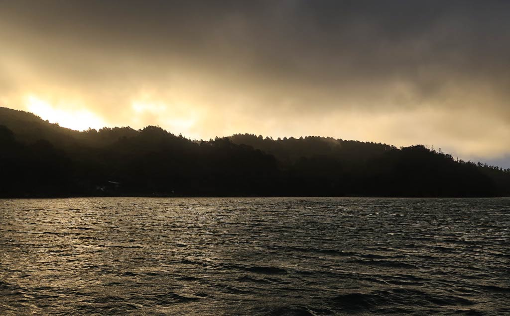
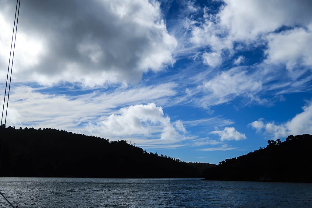
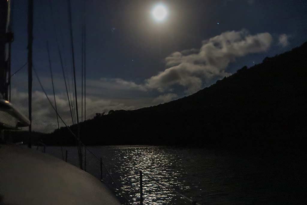
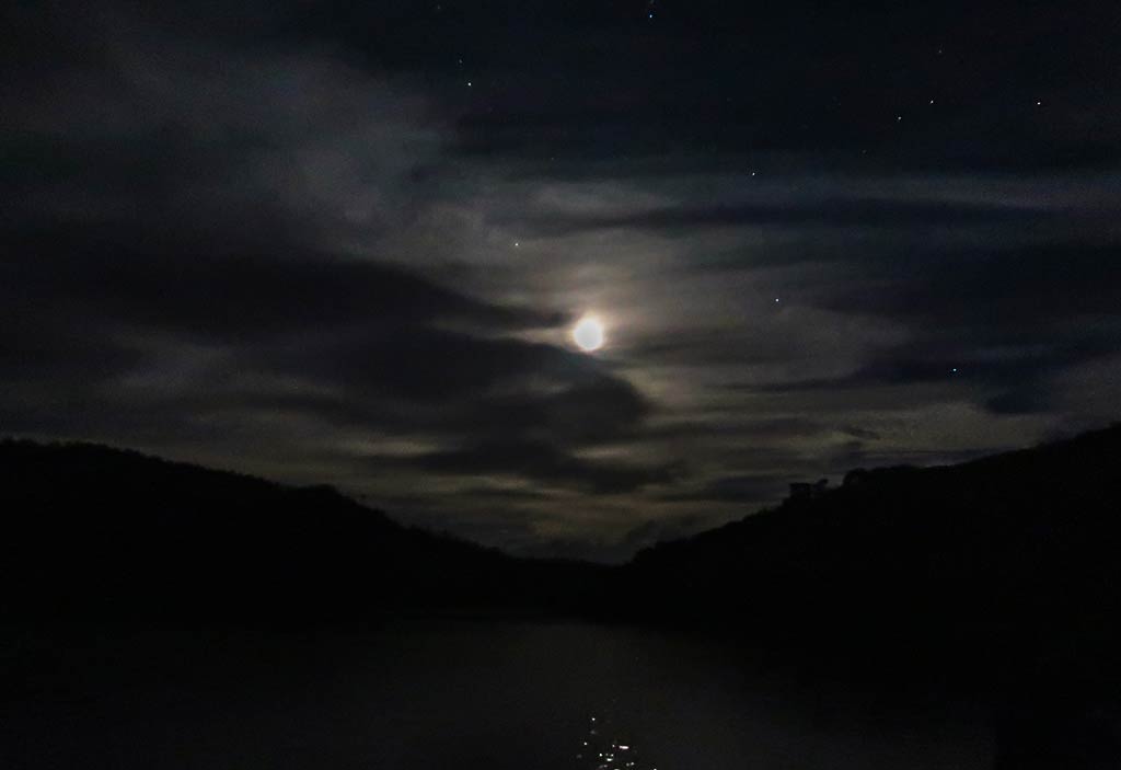
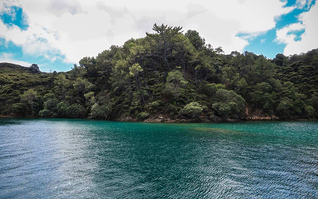
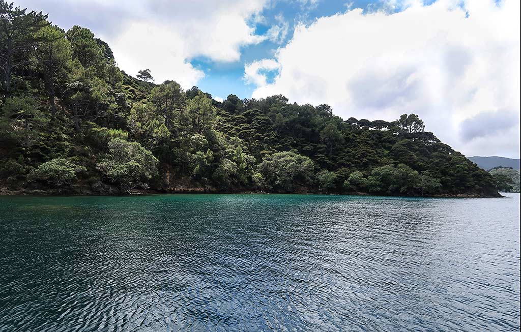
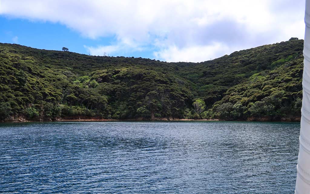
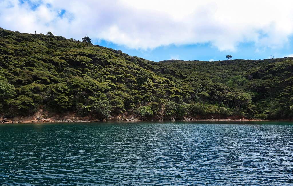
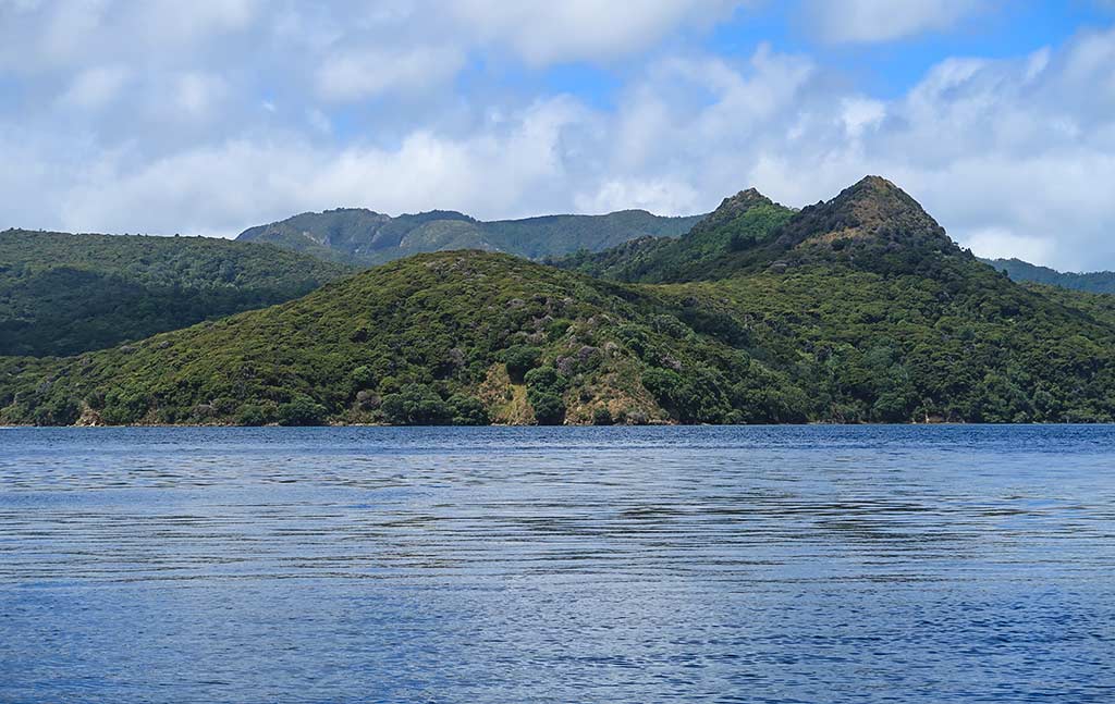
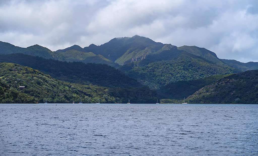
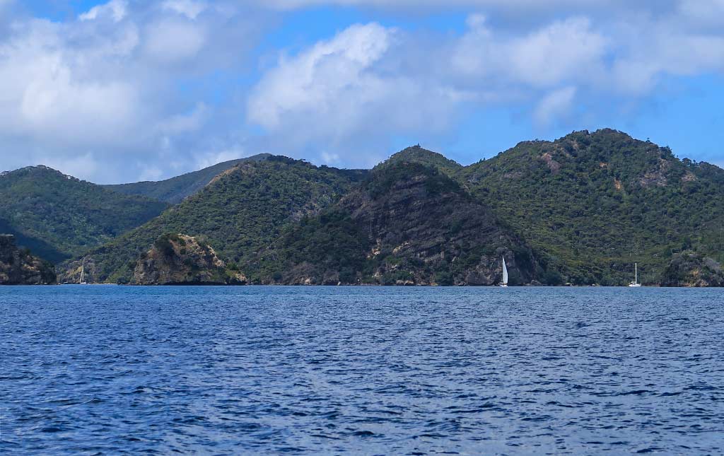
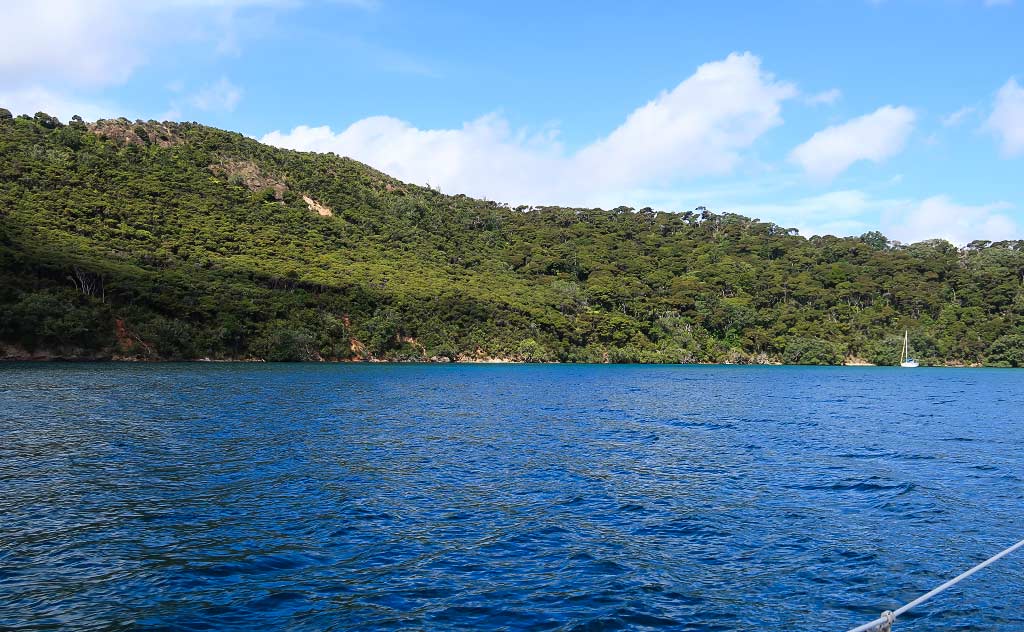
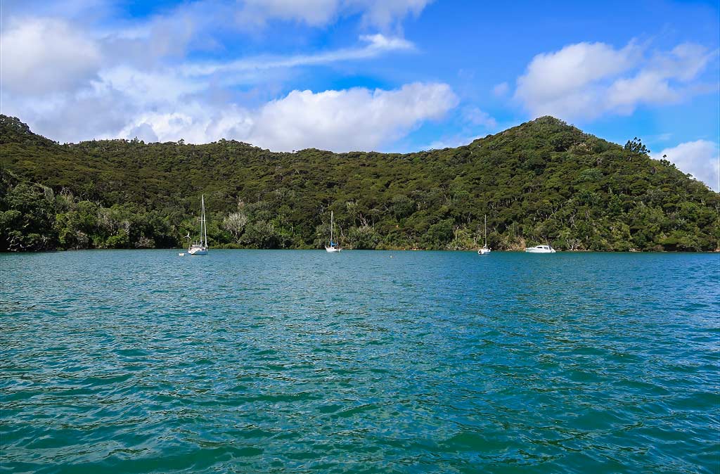
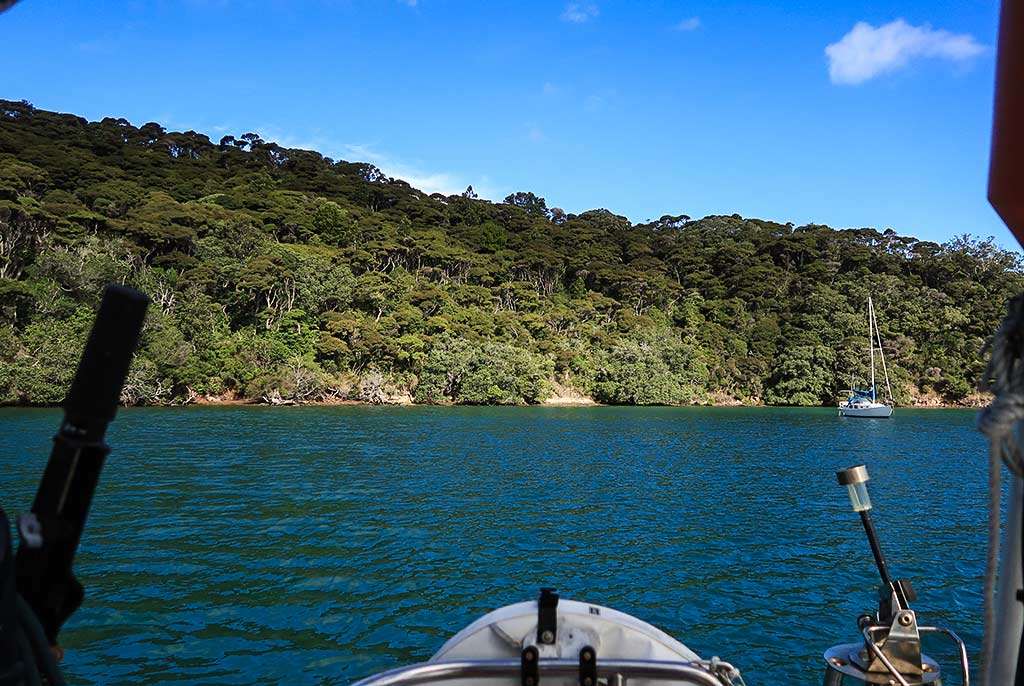
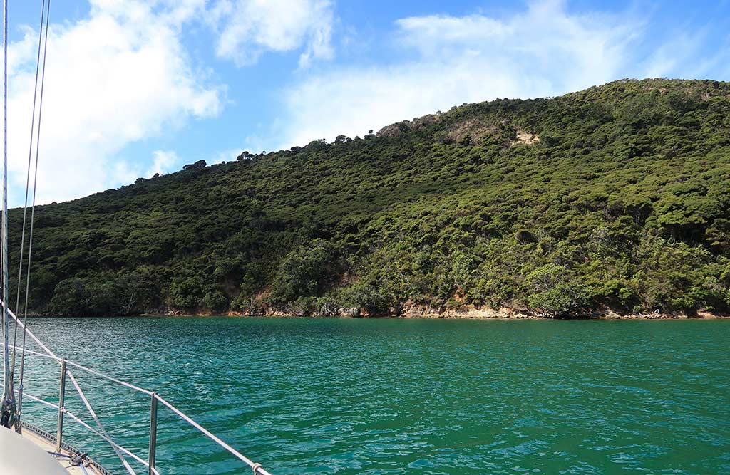
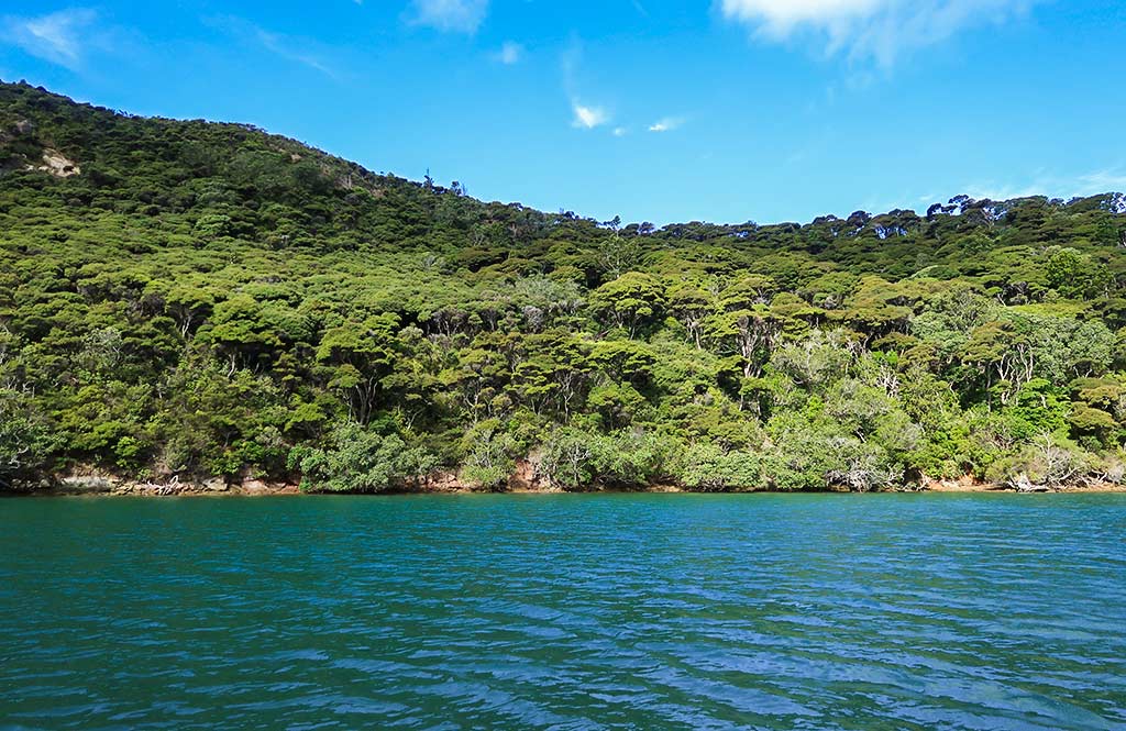
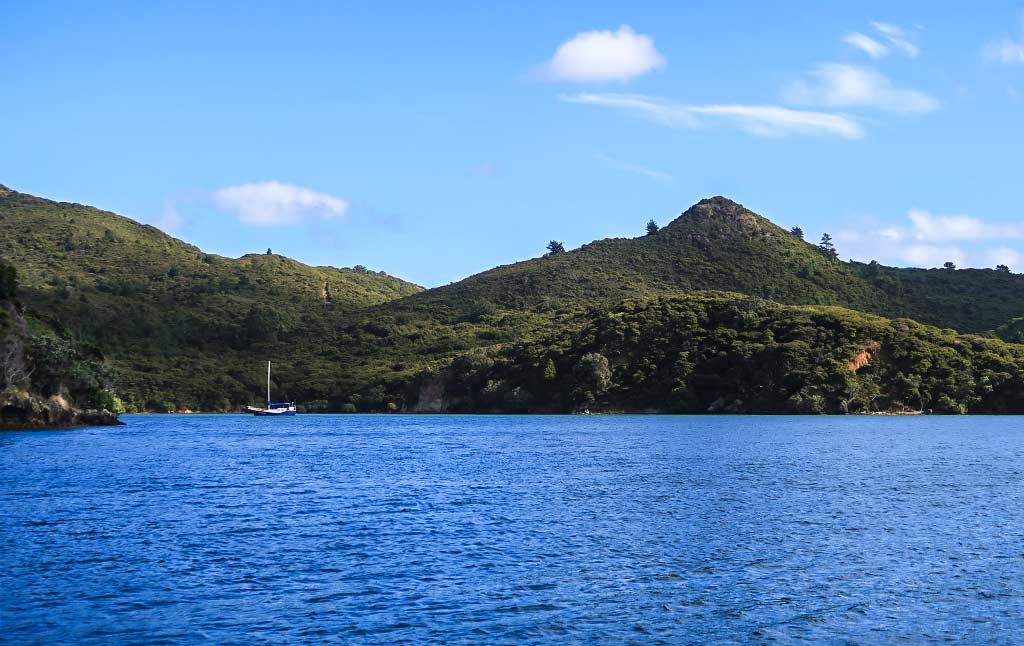
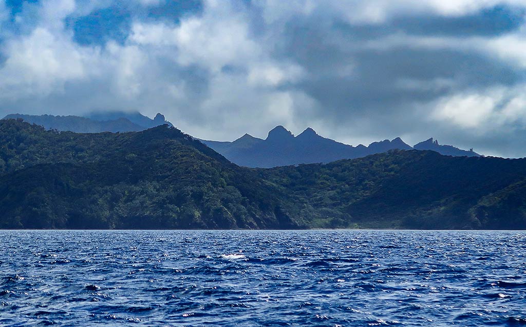
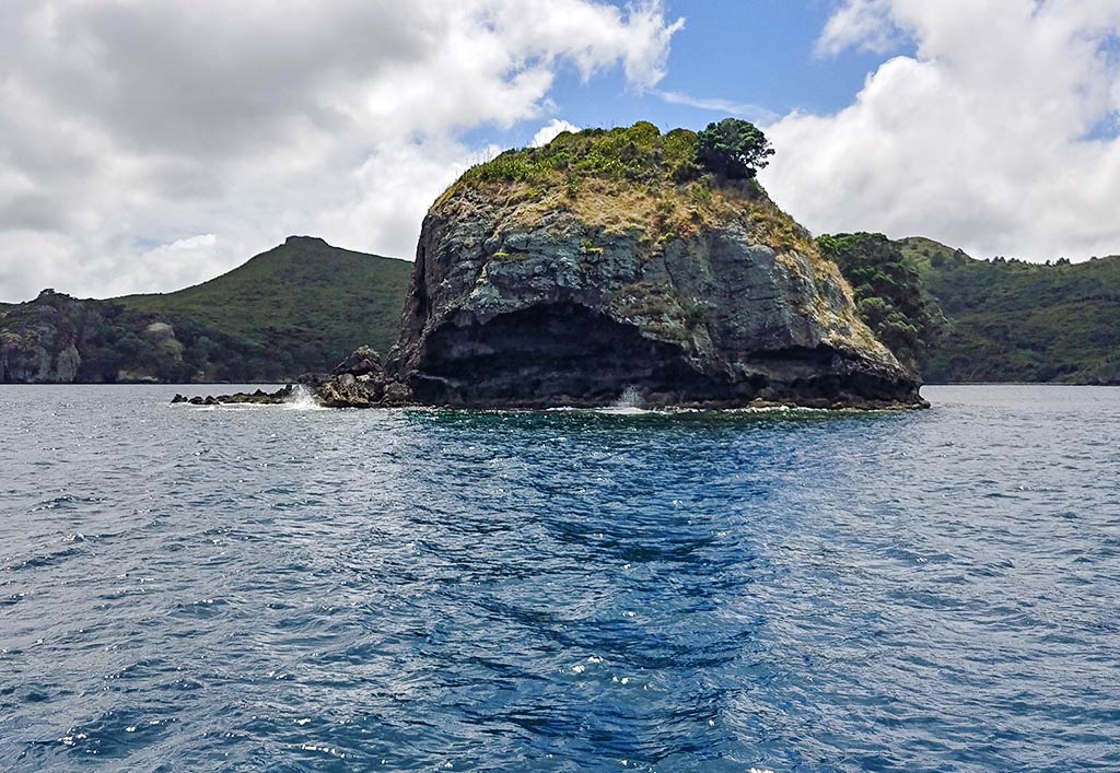
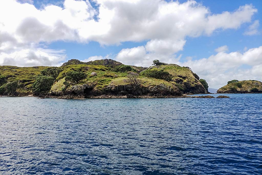
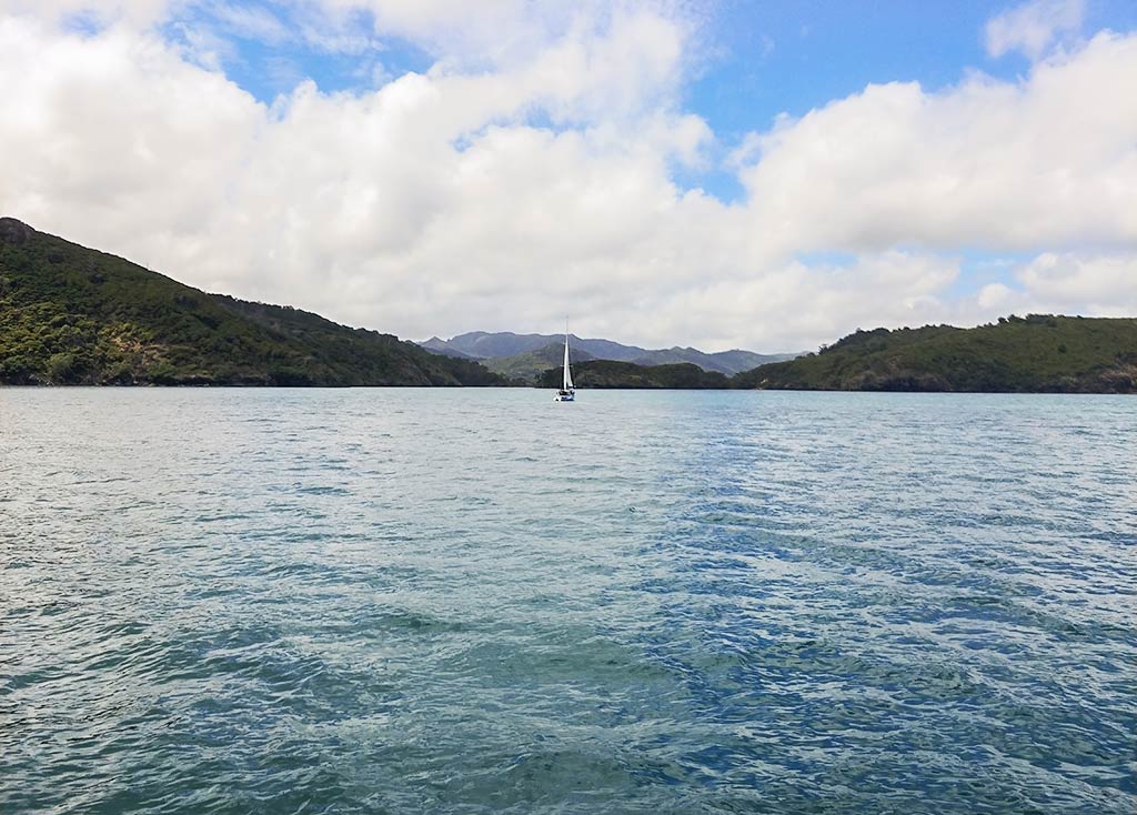
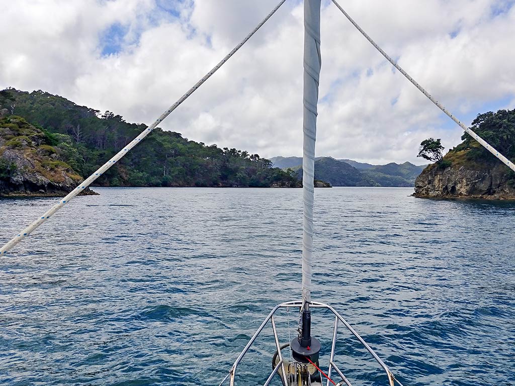
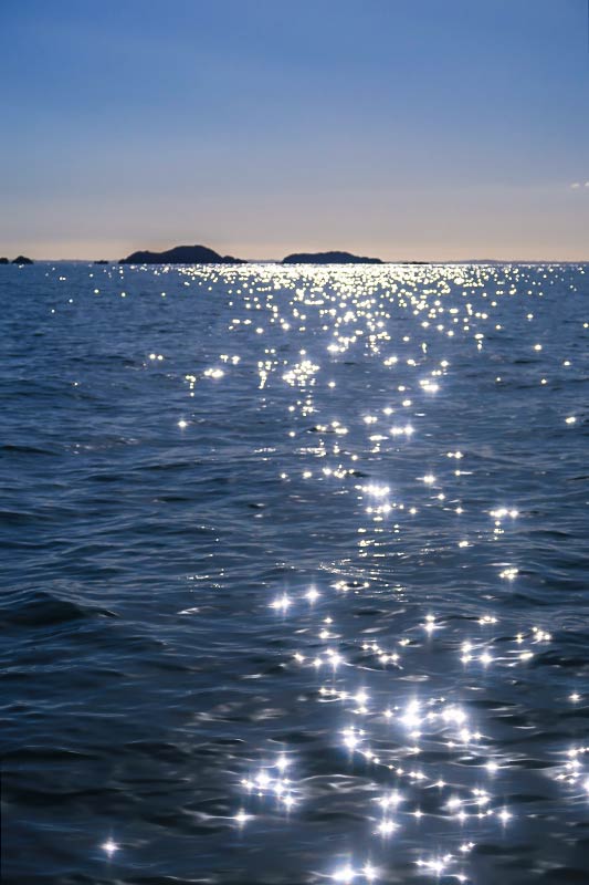
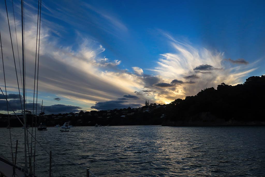
In going through a batch of photos from our last little cruise to the local islands, these two pictures stood out as examples of some of our favorite cruising things: the sea and the sky.

Cyndi really loves the sparkles that the sea gets when conditions are just right. I do too.

It’s not that we don’t see pretty seas and skies when we’re not in cruising mode, but we just seem to appreciate them more, maybe because they have a more immediate effect on us. Less of the daily, “normal-life” distractions is probably another a factor in our greater sense of appreciation while out cruising.

This may not be the most spectacular sky we’ve ever seen but it’s a good example of the almost daily beauty when cruising.

-Rich (but photos probably by Cyndi)

The Calm Before The Storm (Great Barrier Island, New Zealand)

February 11, 2022

Today would be our final day to enjoy some mild weather before the storm hit. At this point there was some disagreement among  weather experts as to what sort of storm this was. It had formed in the tropics and turned into a cyclone named Dovi before it headed south for New Zealand. Met Service Fiji still considered this a cyclone, but Met Service New Zealand insisted this was no longer a cyclone but a tropical storm. I figured it was safe to call it “cyclone remnants.” In any case it was going to get really windy in many areas of New Zealand, including here at Great Barrier Island.

During the day I sat outside and considered our situation. In a harbor scattered with boats, there’s a subtle kind of feeling that happens in the hours before a storm, an impulse to watch other boats along with a sense of being watched, because you never know who might be “in the know.” For instance, I was a bit obsessed with a boat anchored south of us in the middle of the channel. Would that be a better spot? Did these people know something we didn’t? How about the boat that appeared and anchored north of the entrance to this bay. What are they doing there? Are they going to move? And it’s possible, even likely, the guy on the boat we left behind at the unnamed bay was wondering the same thing about us, wondering if we might have been “in the know” about something when we left in a hurry.

Along with looking at other boats, I also spent a considerable amount of time staring across the channel to the west side. There were no indented anchorages, but what if we just anchored in the channel next to the large rock island? We certainly wouldn’t want to do that at this point, but maybe we could move in the morning when the wind was supposed to go west? Second guess, second guess, second guess—a person can drive themselves crazy!

We also stayed on top of all weather updates, anxious to see if the forecast would get better, worse, or stay the same. This day was a strange combination of enjoying a relaxed day at anchor and being tense and on alert. On top of that, it was hot! We actually ran the engine so we could run our air conditioning, not something we ever expected to do at anchor in New Zealand.

So while relaxing, we worked on our computers and binge watched TV. While stressing we checked the weather and looked around outside. It did help to have comfort food for lunch and dinner: lasagna and burritos, and champagne as our evening drinks. Comfort food galore! We stopped just short of making brownies, which would have been a bit over the top today—maybe we’d make them the next day when we’d really need comfort food!

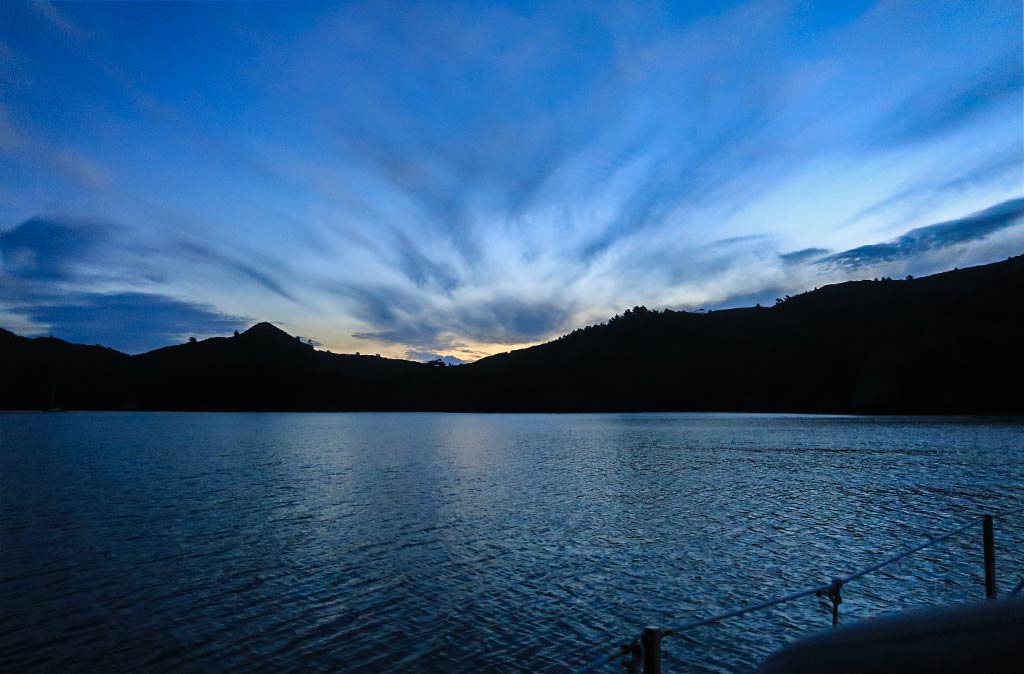
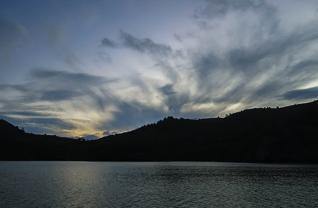
Below, a few photos as the sky became increasingly cloudy in the evening (click to enlarge any photo).

For now it was just a matter of sitting and waiting. It looked like the system would gradually pick up over the course of the next day and stay in the 20-knot range until around midnight; then things would start to get interesting. The wind would pick up into the 30-knot range, then the 40-knot range starting around 2am. Around 7 the following morning, we’d start seeing gusts in the 50-knot range up to 60 knots. It’s a good thing we had more burritos! –Cyndi

A Quiet Night in Wairahi Bay (Port Fitzroy Harbour, Great Barrier Island, New Zealand)

February 10, 2022

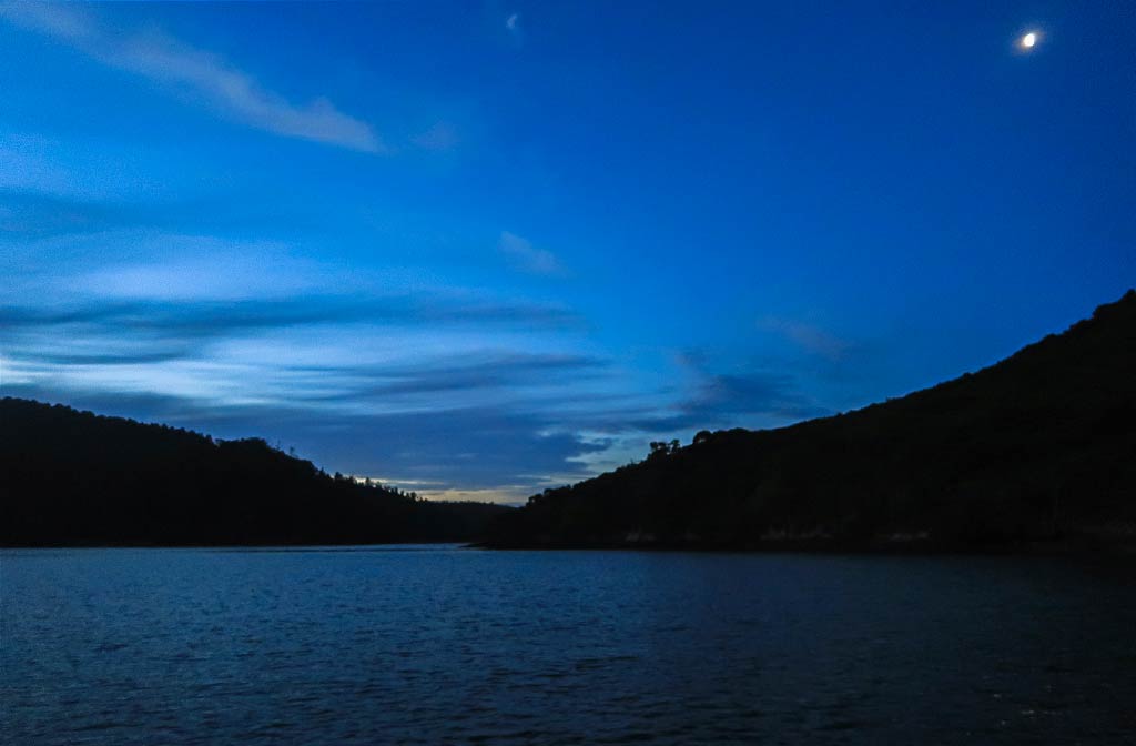
It was our first night in this new anchorage, and what a lovely night it was! The early evening skies had dramatic windswept clouds, but they cleared as the evening deepened and became a beautiful indigo blue, complete with a bright white moon. (Click to enlarge any photo in galleries that follow.)

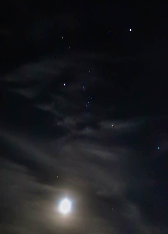
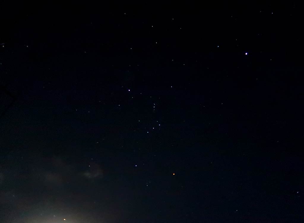
Later I went out to view the night sky, the first one I’ve seen in awhile as it’s either been cloudy or we’ve been too close to city lights to get a good look at the stars. Actually it was cloudy near the horizon tonight, the moon now low and lighting up those clouds, but the sky above us was dark and clear. I loved looking up to find Orion. It’s just a constellation, but to me it feels like an old friend. This is the constellation I could always pick out as a kid, and he seemed to watch over us during our cruises to and from Hawaii and Mexico.

We also see Orion in the southern hemisphere, although he’s not around when we’re cruising in the tropics but instead appears in the summer night sky while we’re in New Zealand. Right above us was the Milky Way, and behind our boat was another constellation we feel fondly about, the Southern Cross.

I took some photos above us some of the lit-up clouds near the moon. There was one I particularly liked of a cloud thinning out with the stars starting to shine through, with Orion perched above it. It felt comforting to know that Orion would be watching over us again in the days to come. –Cyndi

Scouting Out Port Fitzroy Harbour (Great Barrier Island, New Zealand)

February 10, 2022

Great Barrier Island lies about 10 miles off the top of the Coromandel Peninsula. It’s heavily forested, mountainous, and far enough away from everyplace else to remain remote and sparsely populated. While there are a few decent anchorages around the perimeter of this island, the well-protected harbor of Port Fitzroy is definitely the most popular destination for boaters.

Port Fitzroy harbor is created by the close proximity of Kaikoura Island, probably a piece of Great Barrier that broke off eons ago. At the north and south ends of Kaikoura are channels which lead into the harbor, a body of water which runs about 3 miles long and half a mile wide. Within this area are several deep bays which make for great anchorages. Naturally, it’s very popular with boaters, generally from Auckland and willing to make the hours-long trip from one of the Hauraki Gulf islands.

Below, a map showing Port Fitzroy Harbour and the anchorages we were interested in.


We’ve previously visited Port Fitzroy and all but three of its anchorages. Coincidentally it was these three that looked like the best bet for sitting out the remnants of Cyclone Dovi’s high winds. The good news was we’d see something new, but the bad news was we weren’t familiar with any of these anchorages and would need scout them out.

The wind was forecast to start from the north then back to the west when the winds would reach their highest point (we could see gusts to 60 knots!). So it looked like our best bet would be one of the two anchorages on Kaikoura Island. They were marked as anchorages in our guidebook but neither bay had a name and the information was sparse. We looked at a local guide’s comments and saw the southernmost of the two anchorages was called Stony Bay, although the commentator may have simply made this name up. In any case, we’ll call it Stony Bay.

We motored up to Stony Bay and I was impressed by what I saw, but the unnamed bay just north of it looked to be roomier and better suited to our boat. We motored around the unnamed bay and it was nice, but not as pretty as Stony Bay. Of course “pretty” should not be the first concern when looking for a storm anchorage, but maybe Stony Bay would be suitable for that, too. We decided to go get a closer look at it.

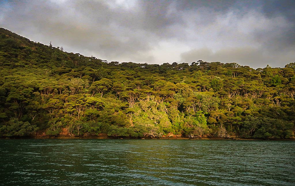
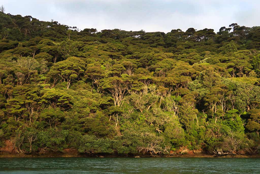
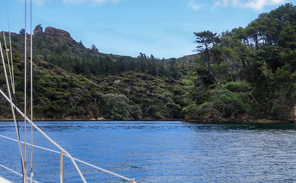
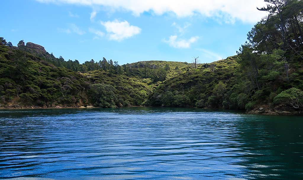
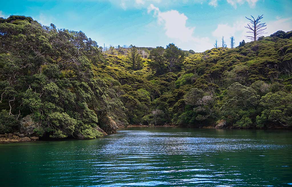
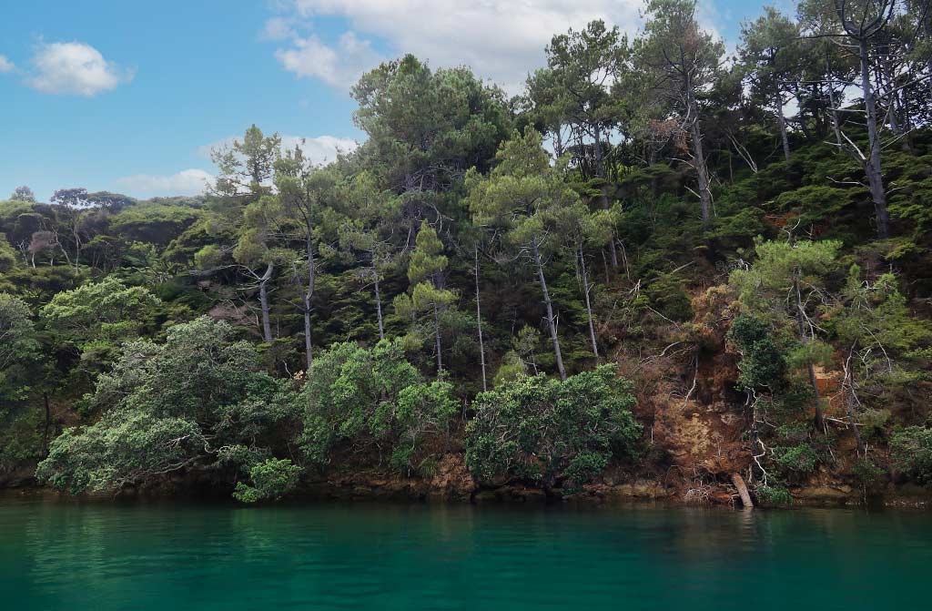
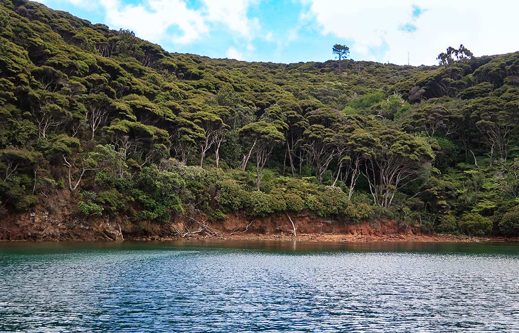
As we entered Stony Bay I was enchanted with its shadowy green beauty. The surrounding hills were thickly forested with trees, and I could hear the squawking of Kakas, New Zealand’s native brown parrot. At the head of the bay was a little cove, adding to the magic of this place. Below, a few photos (click to enlarge any photo).

We decided we’d love to stay there, but when we anchored it quickly became apparent there wasn’t enough room for comfort or safety, especially with the large underwater rock on one side of the bay. Sadly, we’d have to go to the other bay. I ran around getting photos and tried to soak in this place before we brought up our anchor and headed back to the unnamed bay.

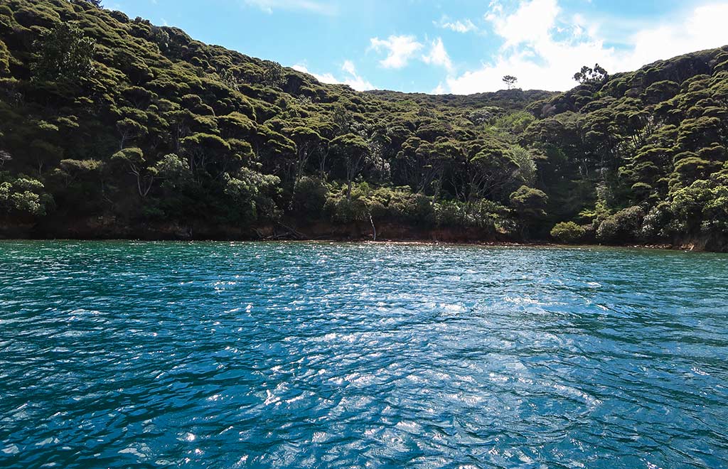
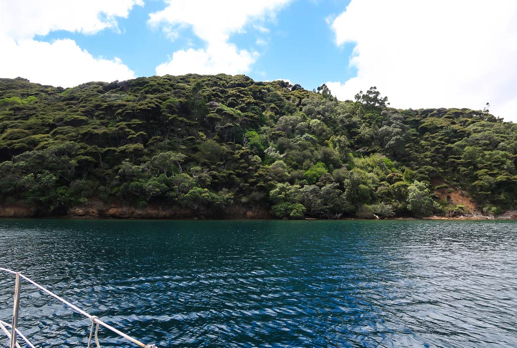
Well the unnamed bay, while not as pretty as Stony Bay, was hardly chopped liver. It, too, had lush tree growth and dark green water. What it lacked was the more cozy feeling of Stony Bay, and it didn’t seem to have its abundant bird life. But what it did have was enough room for us to put out a lot of anchor chain and have swinging room. Of course, this rather ideal situation depended on us having the bay to ourselves. Another boat trying to squeeze in would change everything. Below, some photos:

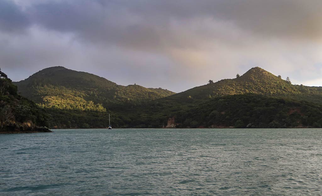
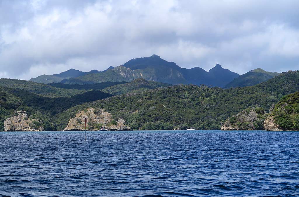
So, securely anchored and having the bay to ourselves, we weren’t quite satisfied yet. A complicating factor in an area like this is how the height and shape of the mountains and hills might affect the wind. As you can see from the photos below, Port Fitzroy has a tumble of mountains in all shapes and sizes, which probably meant there would be no shortage of wind surprises.

The wind currently wasn’t very strong, but it was enough to get a feel for the possible flow patterns in the harbor.

Well, it didn’t take long to see something of concern. The wind had gone northwesterly since we arrived and this bay should offer great protection from NW winds; so it was unsettling to see a breeze start to blow directly into the bay. How was this possible? We think of it as a venturi effect but I’m not sure that’s exactly the correct term for this. We use it to describe what happens when wind gets funneled in some unexpected direction. Mountains are generally the culprit, but lower hills can be tricky, too. We decided to keep an eye on the situation for awhile.

Later in the afternoon, I looked out and my heart sunk when I saw a boat anchored right behind us! That was the nail in the coffin for this bay—we immediately made preparations to pull up the anchor and head to our next choice for an anchorage, leaving in a huff and not even looking at the guy, who was out on his deck and probably wondering why we were taking off so urgently. I have to admit that since he anchored too close to us, I wasn’t wishing the best for him.

So now it was off to our third choice: Wairahi Bay, a mile-long arm of a bay located at the south end of Port Fitzroy. After we started down its arm, we saw a possibility, a wide indent that would give us northerly protection, but would we be close enough to the far side of the arm to get enough westerly protection?

We continued on to the next bight which looked promising on the chart but turned out to be full of anchored and moored boats. We couldn’t go any further in as it was too shallow, and going to the west side of the channel would leave us completely exposed from the north. So, it was back to the first bight, which we shared with a moored boat. I hoped the fact that someone had chosen to keep their boat on an unattended mooring in this spot meant it would be well protected.

Below, some photos showing our first view of this spot as we motored by, a view of the bay just south of it with too many boats, and then back to this spot.

Well, it might not be the most beautiful spot in Port Fitzroy, but I hoped it would be one of the safest. –Cyndi
Sailing Through the Broken Islands into Port Fitzroy Harbor (Great Barrier Island, New Zealand)

February 10, 2022

Today’s forecast was for the wind to drop around 1pm, at which point we planned to make the trip from our anchorage at Great Mercury Island to Great Barrier Island, specifically the well-protected harbor of Port Fitzroy. We had a few possible anchorages to choose from and would make the decision once we arrived there. Below, a map showing our approximate route.

We woke up and got on our computers, listening to the wind gusting outside while we leisurely read the news (and yes, wasted time looking at videos of cat antics on Reddit). We had some breakfast and just enjoyed having the morning to relax. But I couldn’t help but notice, around 10:30 or so, that the wind really started to die down.

Sometimes the lack of wind noise can be as disquieting as wind noise itself. If we’re planning to travel during a small window of opportunity, this is often a signal that it’s time to make a break for it. Meanwhile, the forecast was still saying we should wait awhile longer. Hmmm, what to do? It was now that I pulled out my latest invention I call “The Real Life App.” I really should patent this. It involves putting down the computer, tablet or phone, going outside and taking a look at the actual weather. Yes, the forecasts are pretty good, but sometimes a weather window can start earlier than predicted, which means it will end earlier. When windows are brief, it’s best to get going as soon as things start to settle, and things were rapidly settling. Tempting as it was to stay awhile longer, we decided to go.

Leaving turned out to be a good decision The winds were lighter than forecast as we motor-sailed across the Colville Channel towards the south end of Great Barrier Island. As we neared the island, the wind and seas started to pick up again, while the swells became larger and more on our beam (side). It was a relief to get in the lee of Great Barrier Island where conditions improved rapidly. We still had about 14 knots of wind but with the seas were mild behind the protection of the island.

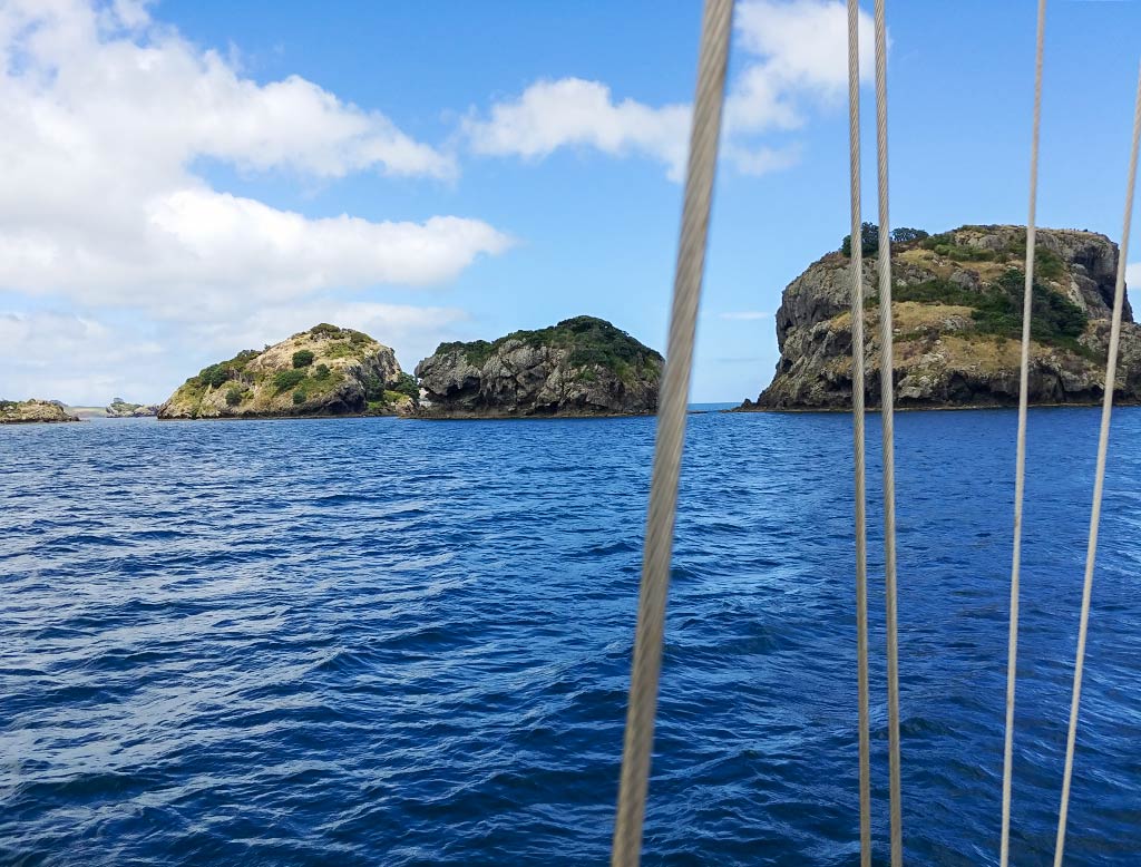
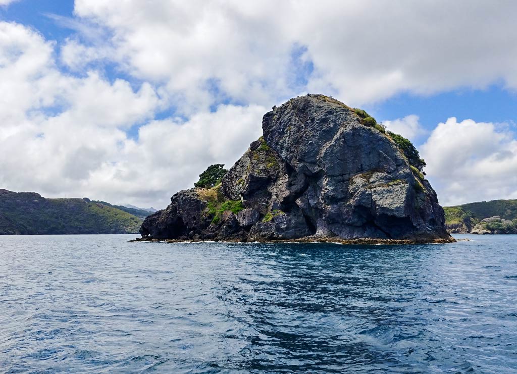
A few miles further along, we entered an area I’m particularly fond of: The Broken Islands. These islands sit off the coast of Great Barrier Island, splintered off as though the island were hit by a giant mallet on its edge, leaving the broken-off section in scattered bits. These little islands stretch 3 ½ miles just off the coastline, and while they don’t offer a lot of anchorages, they sure are scenic to sail through. Below, a map showing our route amid the Broken Islands and through the pass going into the harbor…

And a few photos…

As we motor-sailed through the Broken Islands Passage, I went up on deck and got some video to try to give a feeling of what this experience is like. The video starts at the south end of this chain of islands, then continues with clips from various viewpoints as we got further along. The final two clips are of going through the somewhat narrow Man of War Passage, which is the south entrance to the harbor of Port Fitzroy.

Once inside the harbor, it was time to figure out a good place to be in the coming winds. –Cyndi