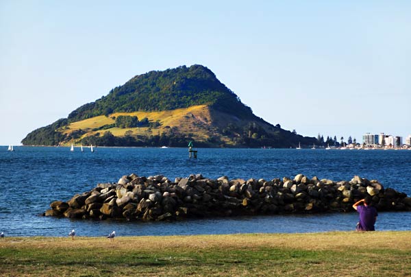
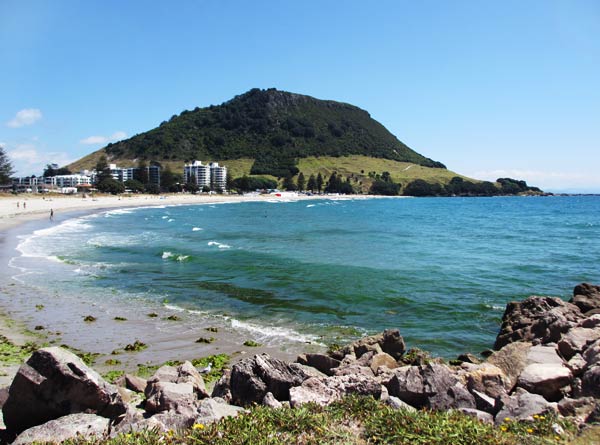
On our second day in the Bay of Plenty, we drove over the bridge from Tauranga to nearby Mount Maunganui. We’ve seen some unusual-looking places in New Zealand, but Mount Maunganui takes the prize. It’s a long finger of land, about 3 miles long, narrowing to about 3 blocks wide at the neck. At the end of this finger sits the Mount, an extinct volcano cone about 800 ft tall.
A map of Mount Maunganui (New Zealand)
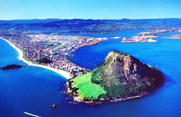
The Mount (aka Mauao) from afar (New Zealand)An aerial photo (taken by someone else) of the Mount Maunganui and Tauranga areas. (New Zealand)
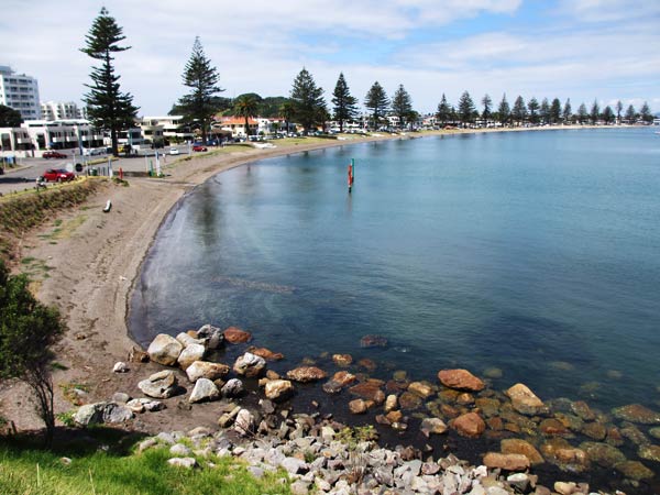
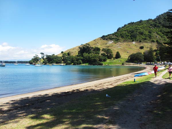
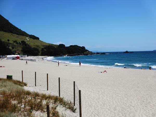
Stemming out from the volcano are two beaches. Pilot Bay and its beach are on the harbor side of the finger, a well-protected bay with boats at anchor and people playing on various watercraft. There are a few businesses along road there, but it’s mostly residential.
Quiet and calm Pilot Bay (Mount Maunganui, New Zealand)Pilot Bay at the base of the Mount (Mount Maunganui, New Zealand)
On the east side of the finger is a wide, white sand beach with a several-story hotel/apartment complex, restaurants, cafes, and a more lively feeling. This beach, called Ocean Beach, is also a great place for surfing.
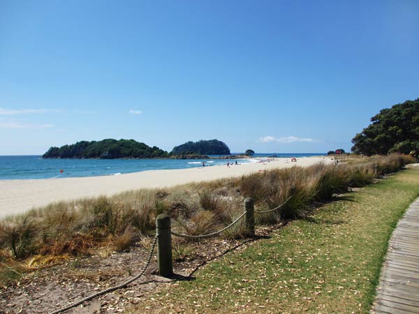
The several-story hotel and apartment complex marks the beginning of the coast road just below the Mount. (New Zealand)Ocean Beach is perfect for swimming and sun bathing. (Mount Maunganui, New Zealand)There are two islands right off the beach, one of which (Moturiki Island) you can walk to at low tide. (Mount Maunganui, New Zealand)Looking back towards the Mount from the Moturiki Island’s land bridge. (Mount Maunganui, New Zealand)
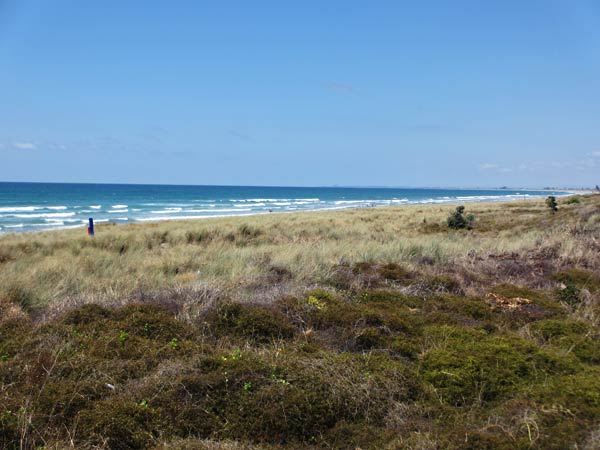
As you head down the coast, the businesses and activity fade after a mile or so, but the beaches continue, backed by grassy dunes and parkways, and quiet residential areas on the inland side of the coast road.
As you get further down the coast, there are more grassy areas along the beach. (Mount Maunganui, New Zealand)
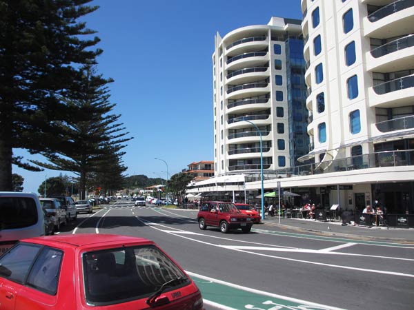
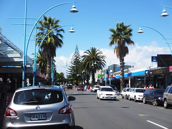
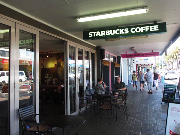
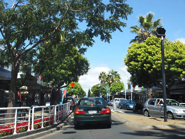
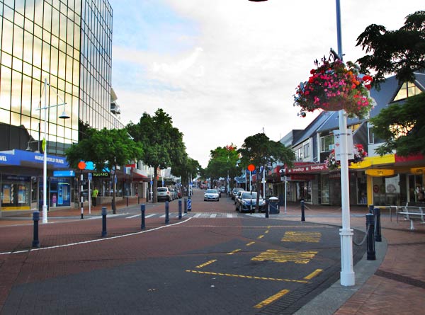
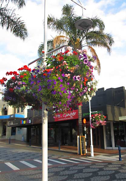
Right down the middle of the finger is the main street, Maunganui Road, with shops and restaurants galore, much like Tauranga but with more palm trees and more sunny, beachy feeling. (And not to be outdone by Tauranga, this town has a Starbuck’s, too!)
The main street has many shops and restaurants and is lined with palm trees. (Mount Maunganui, New Zealand)There is a Starbuck’s in Mount Maunganui! (Mount Maunganui, New Zealand)Driving down one of Mount Maunganui’s tree-lined blocks. (Mount Maunganui, New Zealand)
So far, we were really impressed with the two towns, but we still needed to talk to the marina and boatyard before we could make a decision to come down here. We still had some time; so we decided to do some walking first. –Cyndi
It’s easier to show a map of the Tauranga and Mount Maunganui area than to try to explain it. Basically these towns are on fingers of land sticking out into one of New Zealand’s largest natural harbors. While these bits of land all stem from the mainland, they are also connected to each other by bridges which makes going between them much quicker.
A map of the Tauranga and Mount Maunganui area.
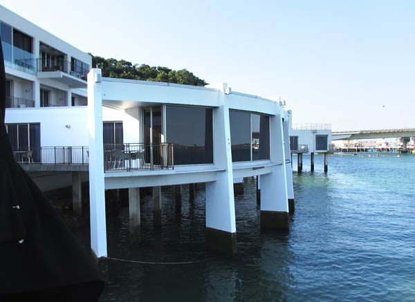
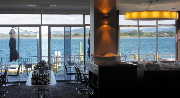
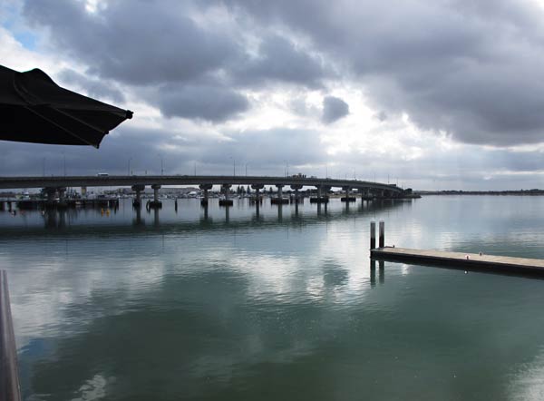
We arrived at the Trinity Wharf Hotel which overlooked Tauranga Harbour and sits at the base of the bridge to Mount Maunganui. After admiring the view, we headed down the street for dinner.
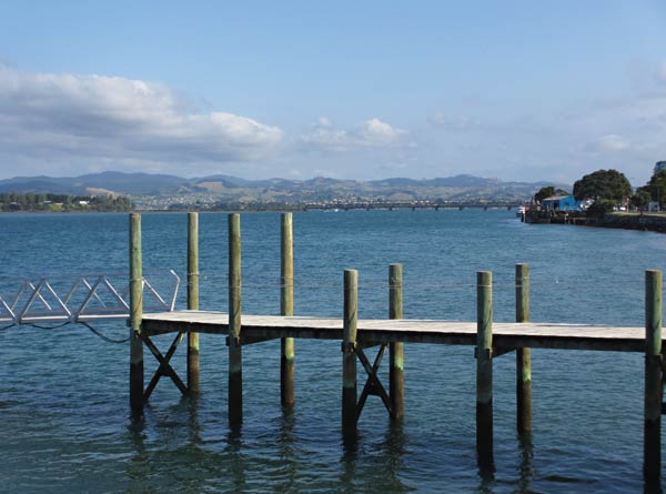
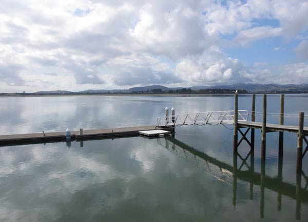
The Trinity Wharf Hotel (Tauranga, New Zealand)The view from the Trinity Wharf dining room. (Tauranga, New Zealand)A view from the deck of the Trinity Wharf. (Tauranga, New Zealand)The dock at the Trinity Wharf Hotel. (Tauranga, New Zealand)The bridge that goes to Mount Maunganui (and the Tauranga Bridge Marina on the way)
We found that while Tauranga is between two bodies of water, it faces Tauranga Habour and Waipu Bay to the east, while a freeway runs along the estuary on the west side.
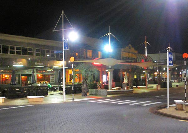
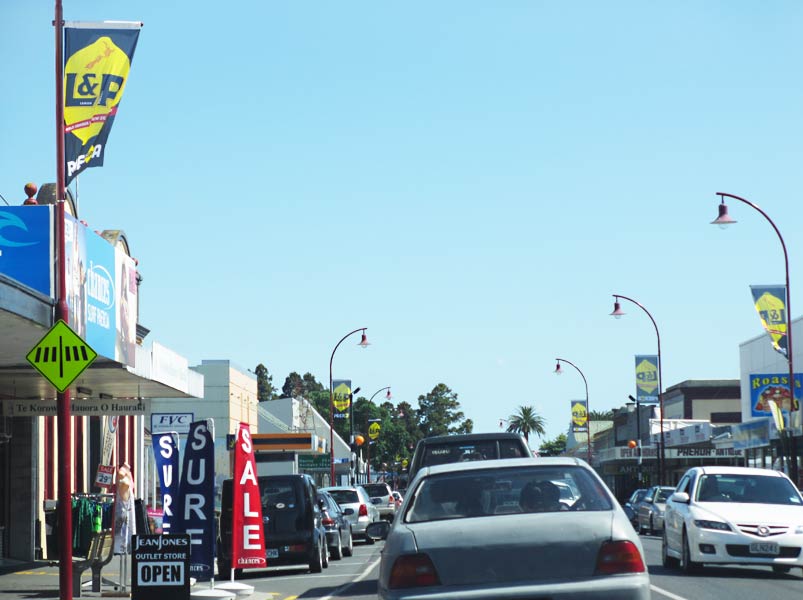
There’s a waterfront area called the Strand, about a half-mile long and made up entirely of restaurants, pubs, and bars. Streets behind the waterfront and off to the side are filled with shops and small eateries. The main highway further back has things like grocery stores, furniture stores, warehouse stores, etc.
The Strand after dark. (Tauranga, New Zealand)One of the many restaurants along the Strand in Tauranga. (Tauranga, New Zealand)Devonport Road in Tauranga angles inland and is one of the best streets for shops and eateries.A view of the small walking promenade between the Strand and Willow St. behind it.
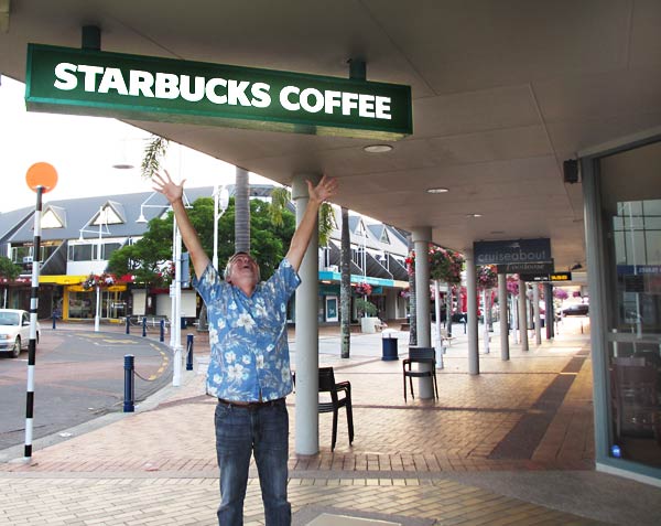
When we got near the end of the Strand, I caught sight of it: Starbuck’s! We had no idea there was a Starbuck’s here and were stunned. By the time we headed back to Opua, we had several deciding factors in bringing Legacy here, but I think we can look back to the discovery of the Starbuck’s as the turning point.
What could be better than happening upon a Starbuck’s? (Tauranga, New Zealand)For Rich, that would be happening upon a Robert Harris coffeehouse, but that’s the subject of a different blog post. (Tauranga, New Zealand)
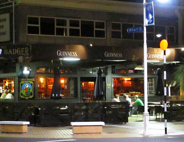
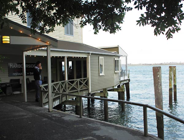
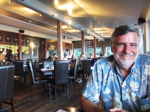
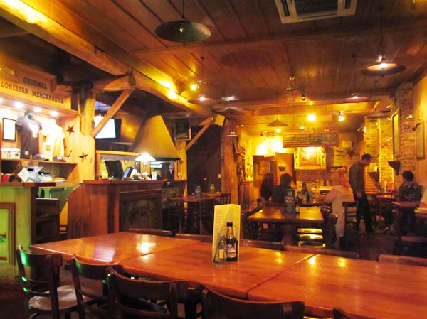
We treated ourselves to a nice dinner at the Harbourside Restaurant just south of the Strand and similar the Chart House in America. It was very good, but the service was slow so we went back to the Strand seeking dessert and ended up at a Texas-themed place called Lone Star. We split a pavlova, not very Texan but delicious.
The Harbourside Restaurant in Tauranga. (Note: They insist on adding a U to the word Harbor in New Zealand). (Tauranga, New Zealand)Waiting for our meal at the Harbourside Restaurant (delicious, but a long wait). (Tauranga, New Zealand)Finding one of our favorite desserts, Pavlova, at the Texan-themed Lone Star restaurant. (Tauranga, New Zealand)
After dessert, we wandered around the back streets and really liked the feel of the neighborhood, finding some neat shops and enticing little casual eateries, including several sushi places. This was another big plus. Tomorrow we’d see the marina, boat yard and Mount Maunganui, but so far it looked very promising for bringing our boat here. –Cyndi
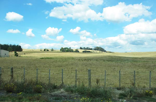
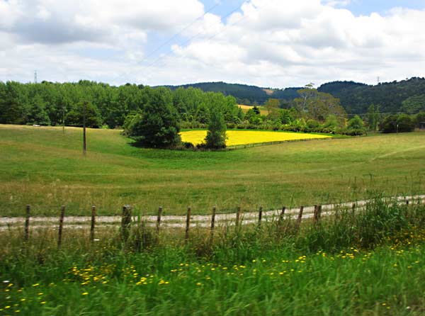
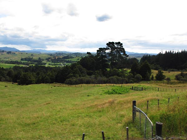
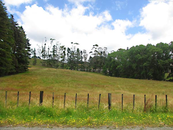
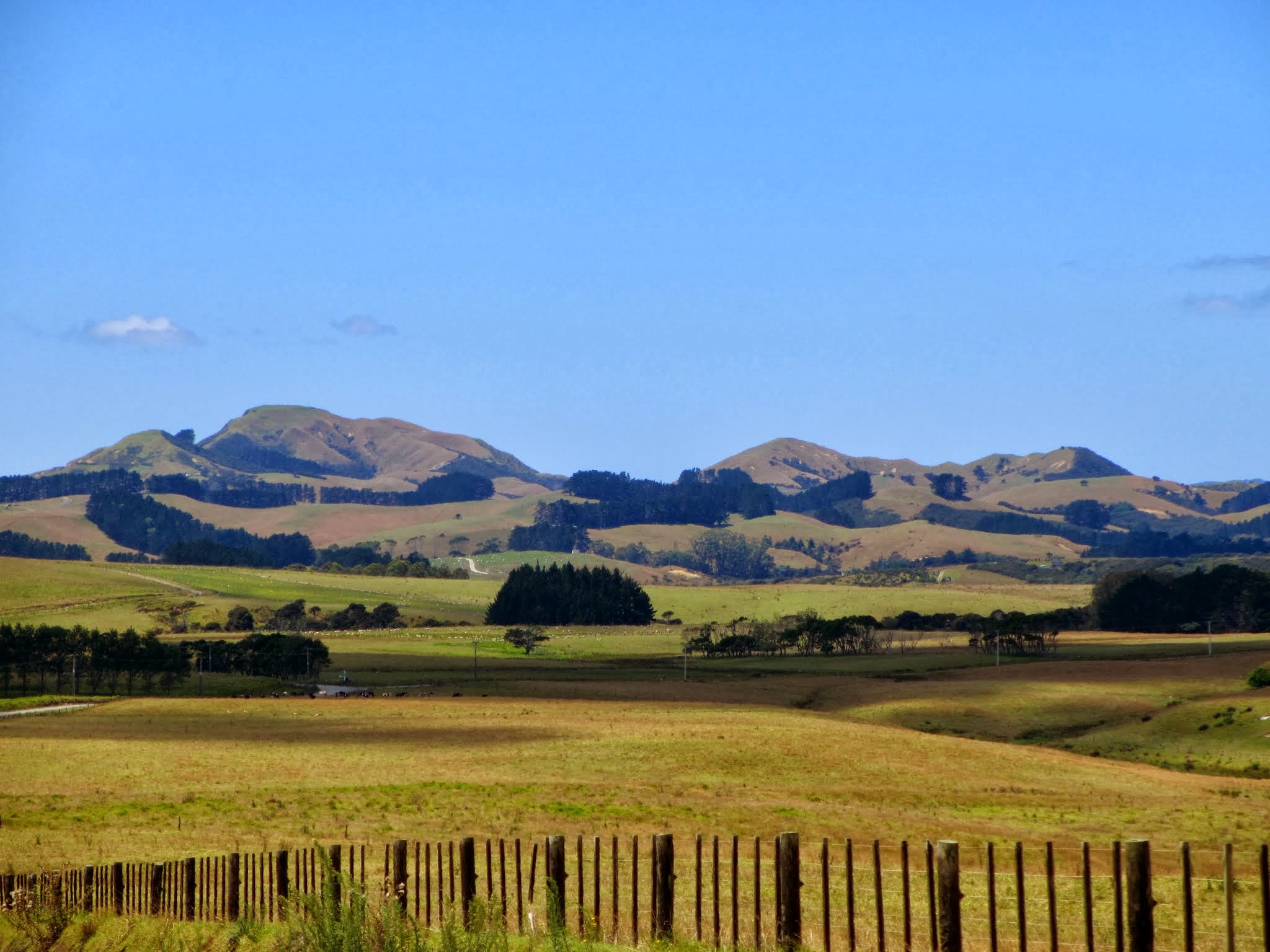
It’s a long drive to Tauranga, about 6 hours from Opua, but it was fun to see some new territory when we got south of Auckland. After going through the city and continuing southeast, we entered the Waikato region, our first time out the Northland and Auckland regions. We drove through miles of farmland as we passed under the Coromandel Peninsula before rejoining the coast and entering the Bay of Plenty region about 2 hours later.
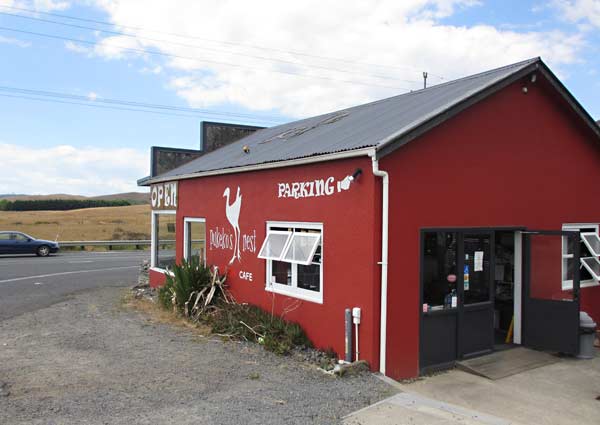
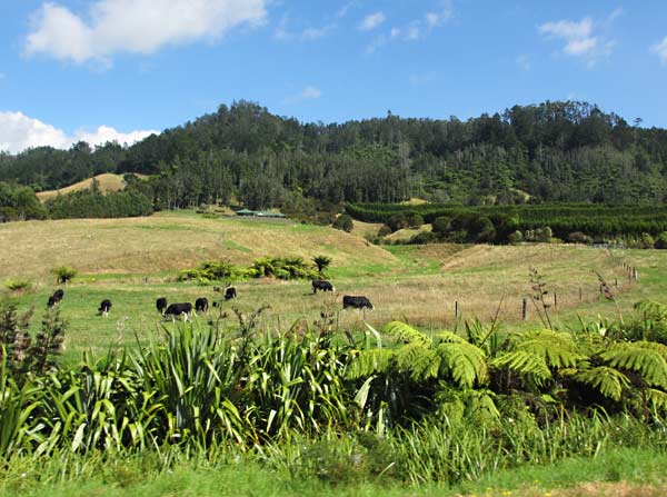
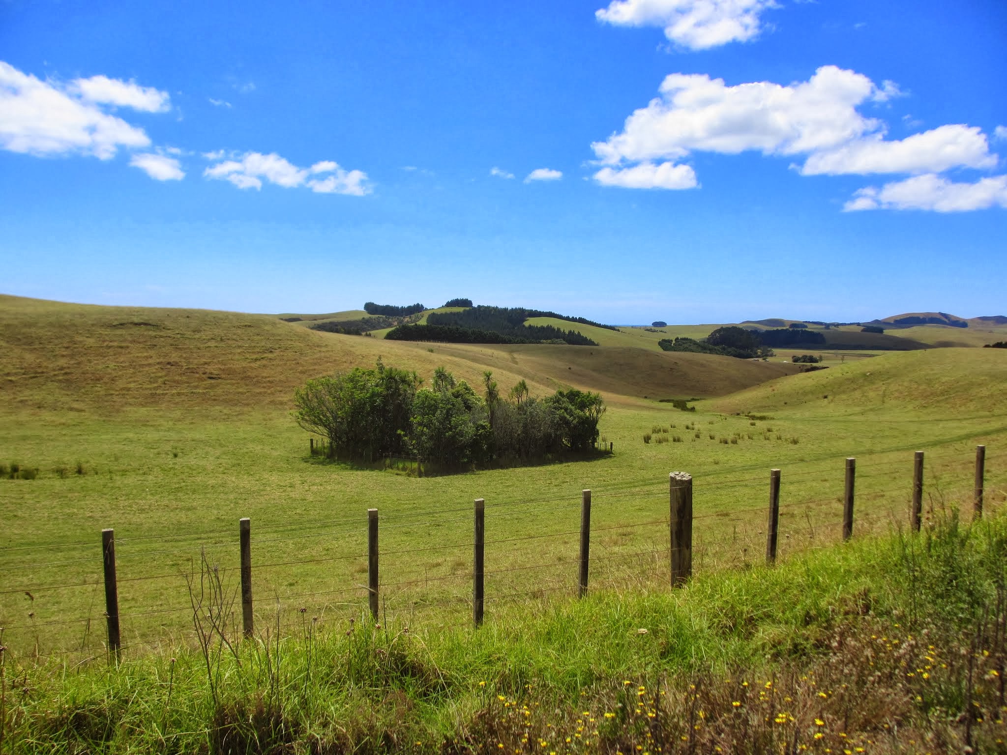
A small country cafe on our way through the Waikato region. (New Zealand)Farms and pastures dominate the Waikato countryside. (New Zealand)More Waikato countryside. (New Zealand)
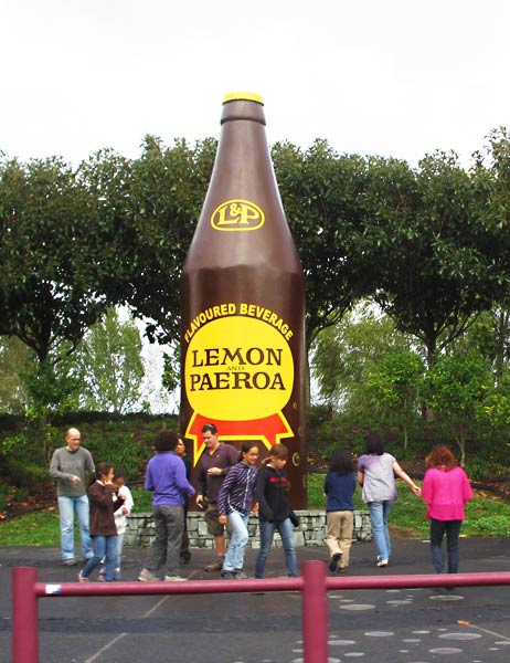
The drive took us through some tiny towns before reaching the larger town of Paeroa, home of the L&P lemon soft drink. If you don’t realize this before entering the town, you will before you exit as there are banners, a large restaurant/cafe/shop and a giant bottle of L&P along the main street to remind you.
“Don’t they make some soft drink here? I wonder what it could be?” (Paeroa, New Zealand)Paeroa’s monument to L&P. (Paeroa, New Zealand)
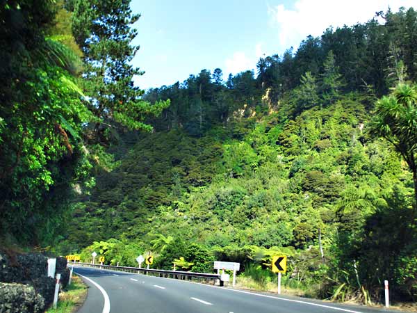
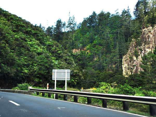
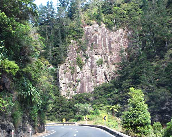
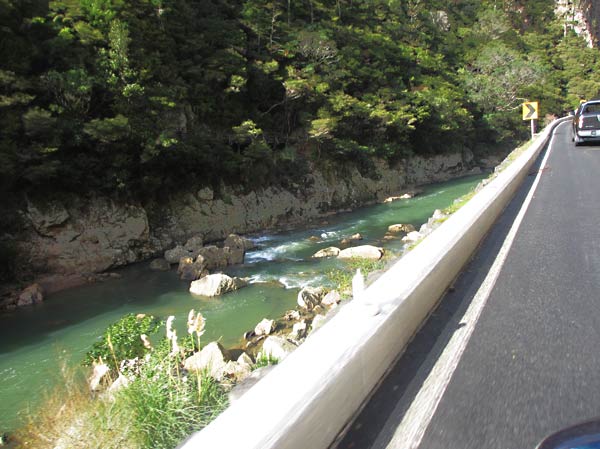
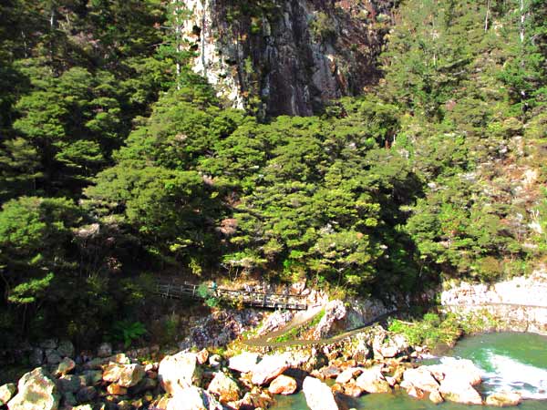
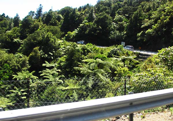
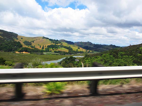
The most thrilling and/or harrowing part of the drive is going through the Karangahake Gorge. The gorge was formed by the Ohinemuri River and is a deep canyon in the mountain range that separates the farmlands of Waikato from the coastal Bay of Plenty. The road is winding and narrow and there’s no room for error. Driving east, your car is only inches from the sheer rock walls of the canyon. On those sections where you’re not looking with horror at rock walls whizzing by inches from your face, the scenery is spectacular.
Heading into the Karangahake Gorge. (New Zealand)The road starts gets to be quite winding. (New Zealand)One of many sheer rock canyon walls in the Karangahake Gorge. (New Zealand)Driving along the river on a later westbound trip. (Karangahake Gorge, New Zealand)One of the very intriguing trails in the Karangahake Gorge. (New Zealand)A river view near the east side of the Karangahake gorge. (New Zealand)
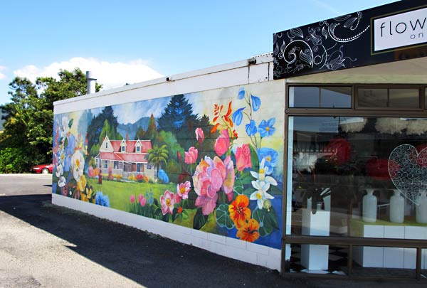
Once you survive and exit the gorge, you come out into the coastline of the Bay of Plenty, known for its warm, sunny weather and for being a very popular beach vacation destination. After you come to the coast, you head south and go through the town of Katikati, the “mural town,” with over 40 murals depicting various historical events. It’s kind of neat, but nothing we’d ever go out of our way to see and frankly a letdown from what it was hyped up to be. Everyone has their own tastes, though, and a lot of people seem to love it.
This is the nicest mural we spotted in Katikati. (New Zealand)
We continued down the coast and 30 minutes later entered the town of Tauranga, looking around as anxiously as dogs looking out the window near the park. It looked like it could be a really neat place. –Cyndi
We were paid up at the Opua marina until early March, and after that we planned to do some cruising in the islands off the New Zealand coast. The decision we needed to make was whether or not we’d come back to Opua.
Back in Samoa, we met a Kiwi couple, Colin and Jeanette, who were there doing some fishing. They were from an area called Tauranga, about a 2-hour drive south of Auckland. They described it to us, and it sounded like not only a wonderful place to visit but a great place to haul our boat and get some work done. One drawback was it’s a little further south than most people go when cruising the north island and off the beaten path for cruisers. That said, we knew some people who ended up there and they had great things to say about it. Another drawback was having to go around a huge peninsula that sticks out of New Zealand below Auckland. We’d need good weather to get around that peninsula to Tauranga. (That’s one reason why most cruisers never get down there.)
We’d gotten very comfortable in Opua and were reluctant to leave what felt like home, and as time went on we were thinking we might stay. Then we talked to the boat yard in Opua about the work we needed done, and their approach wasn’t really satisfying. Still, we thought we could work with them. We went back and forth and finally we realized that we ought to just drive down and take a look at the twin cities of Tauranga and Mount Maunganui. If they turned out to be really special, they could pull us away from Opua. Otherwise we’d be satisfied we’d seen them and made an informed decision. So, we packed our backpack and headed south.
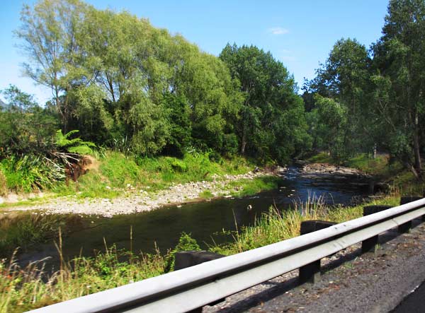
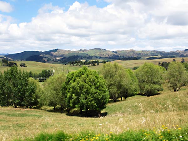
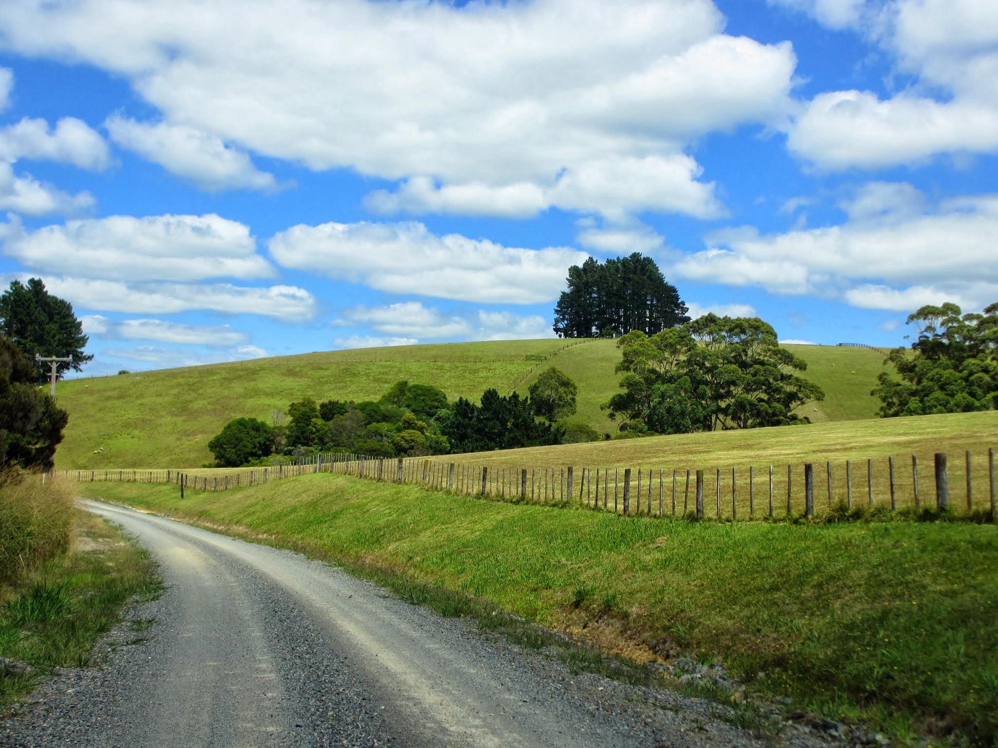
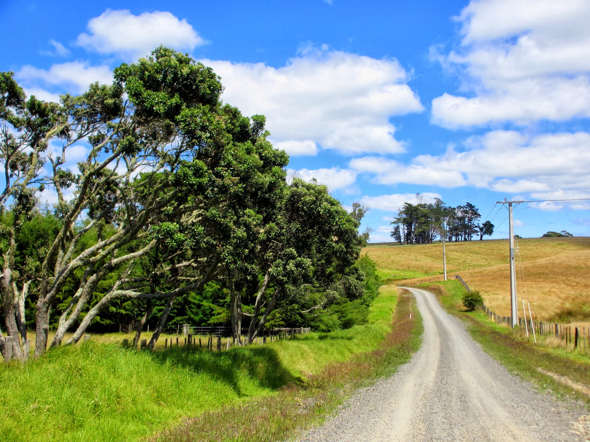
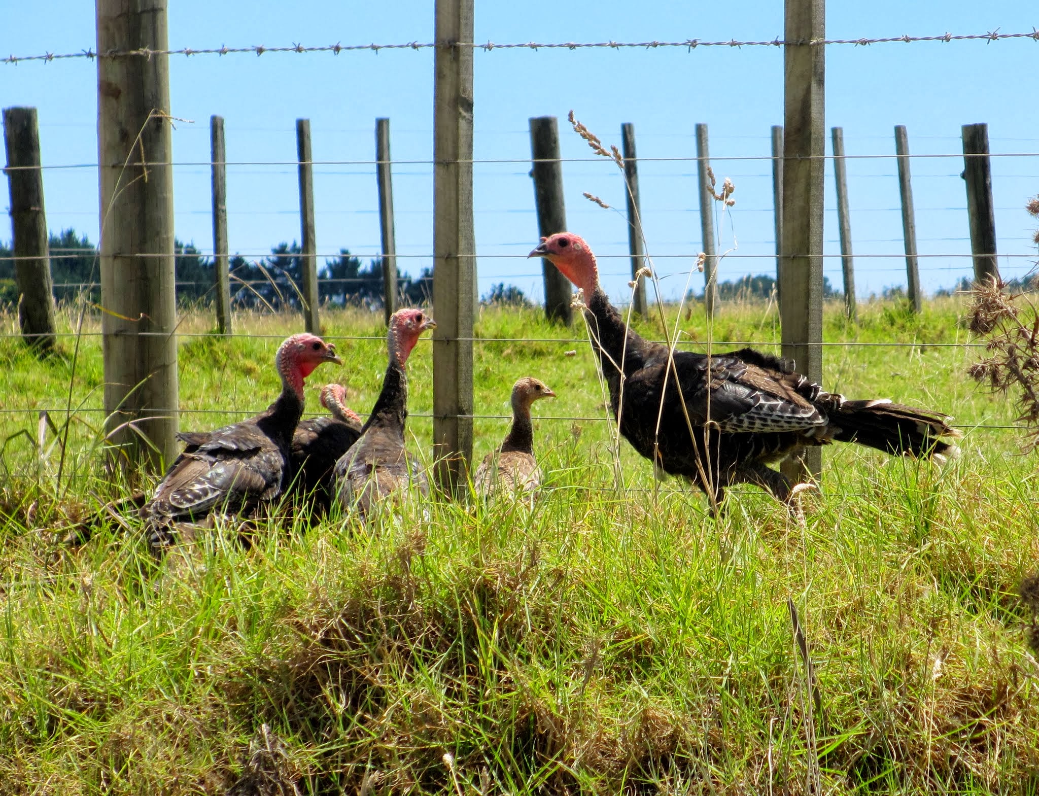
Here is as good a place as any to put a From the Car gallery of pictures. These are of the drive between Opua and Auckand. –Cyndi
We went on an outing to explore the coastal countryside around the town of Kerikeri.
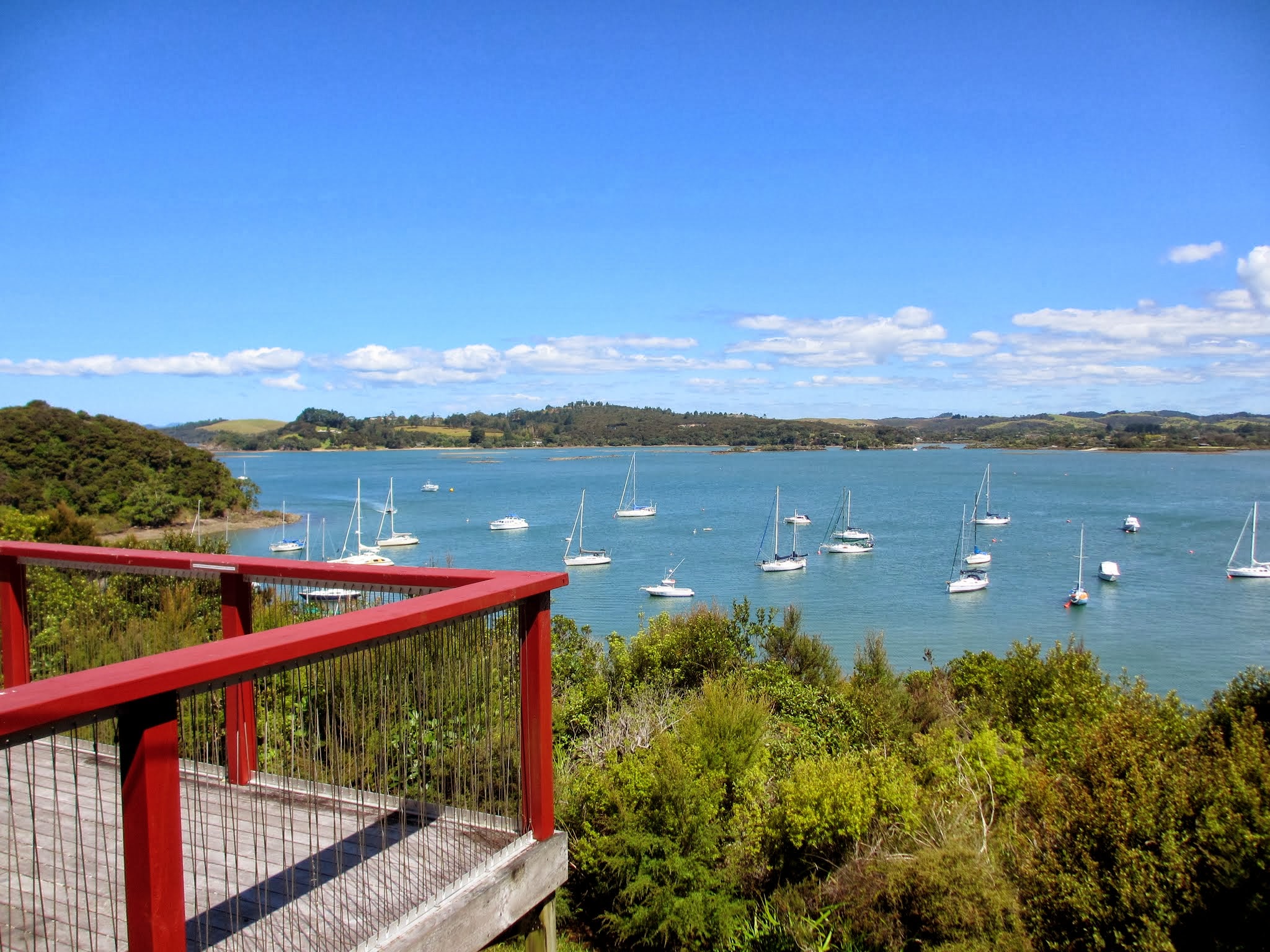
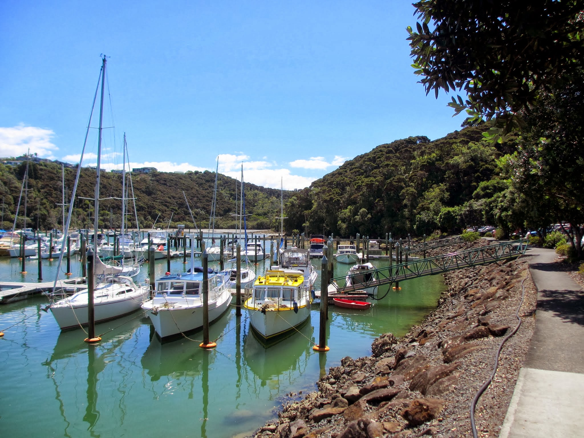
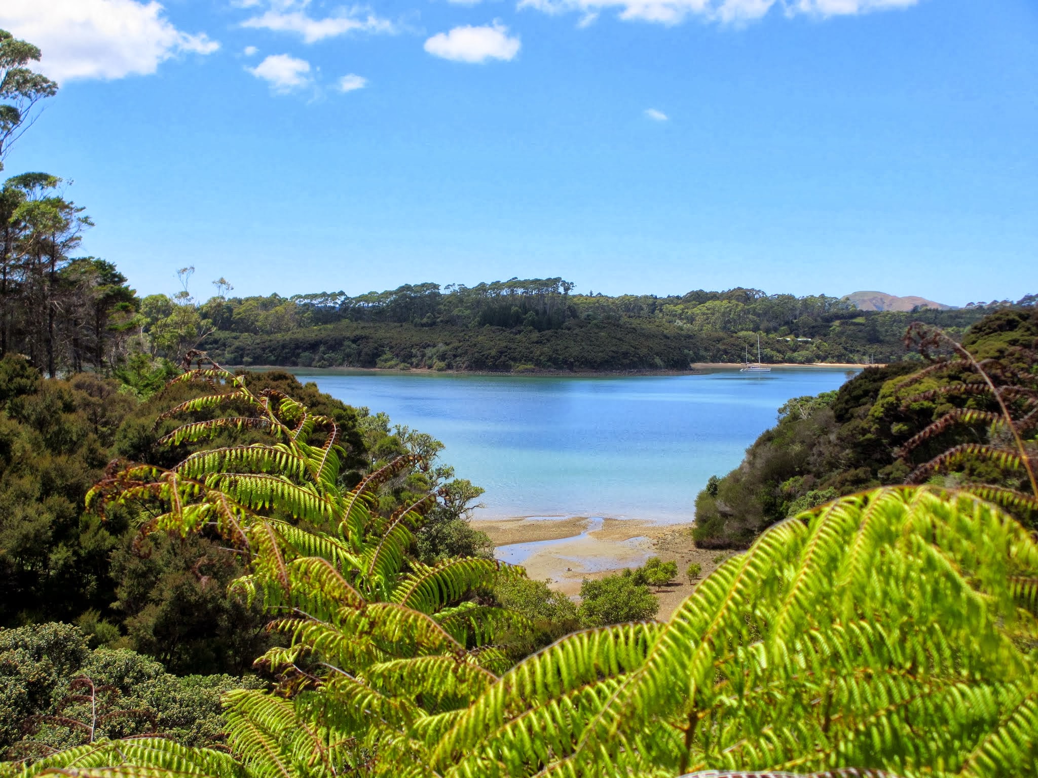
Kerikeri itself feels very much like an inland town on a river; there’s no sense of the ocean nearby. But if you drive just beyond it to the east, you find that Kerikeri is upriver from the head of a natural harbor, the Kerikeri Inlet. If you are on the south bank and look north, you are looking at the south side of the Kerikeri Peninsula and will spot the Kerikeri Marina. We decided to go check that out, which meant driving back inland again to Kerikeri then back out the peninsula to find the marina.
The Kerikeri marina is in a very pretty location and looks like a nice place, although it’s nowhere near the size of the Opua marina and doesn’t have its marine stores, services, and facilities. It does, however, have the advantage of being a 10-minute drive from downtown Kerikeri, as opposed to the 30 minute drive from Opua. This would put a person closer to lots of eateries, two big grocery stores, and the Sunday Farmer’s market. If we ever spend a long stretch of time in the Bay of Islands again, we might try to spend a month or so here.
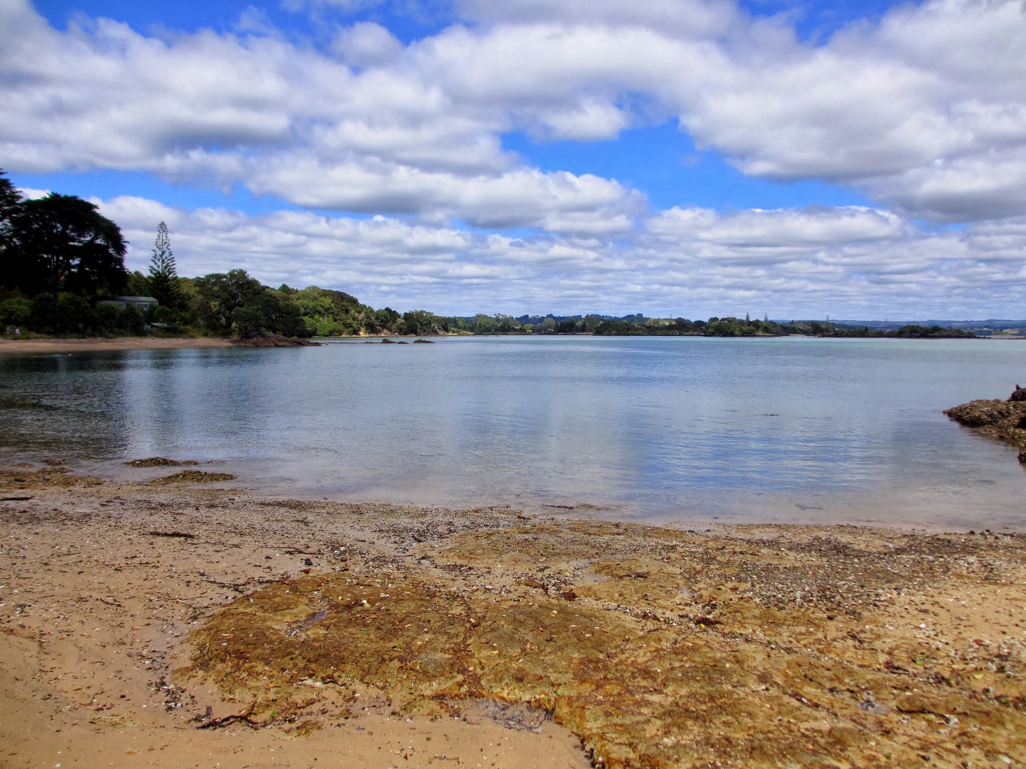
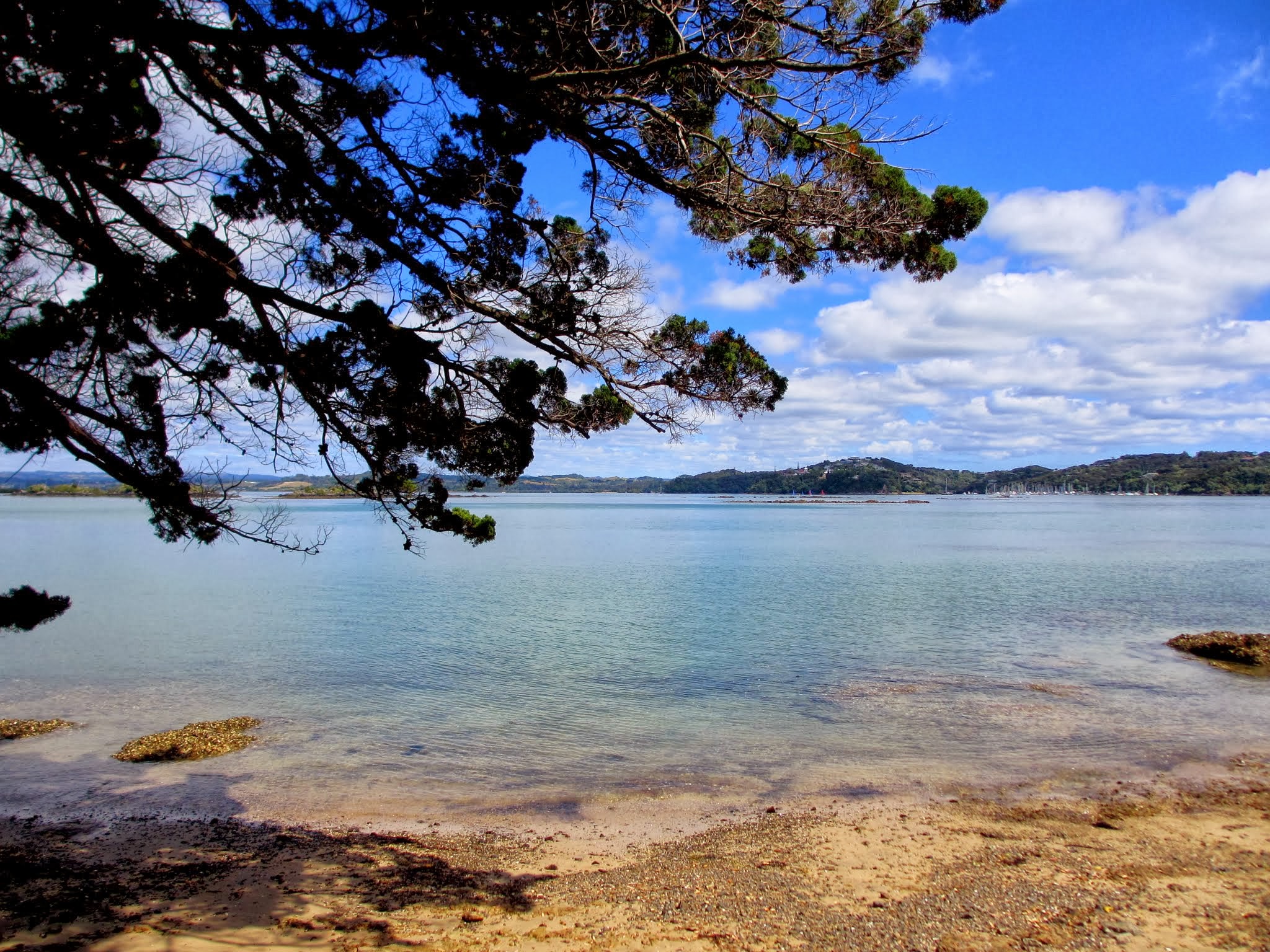
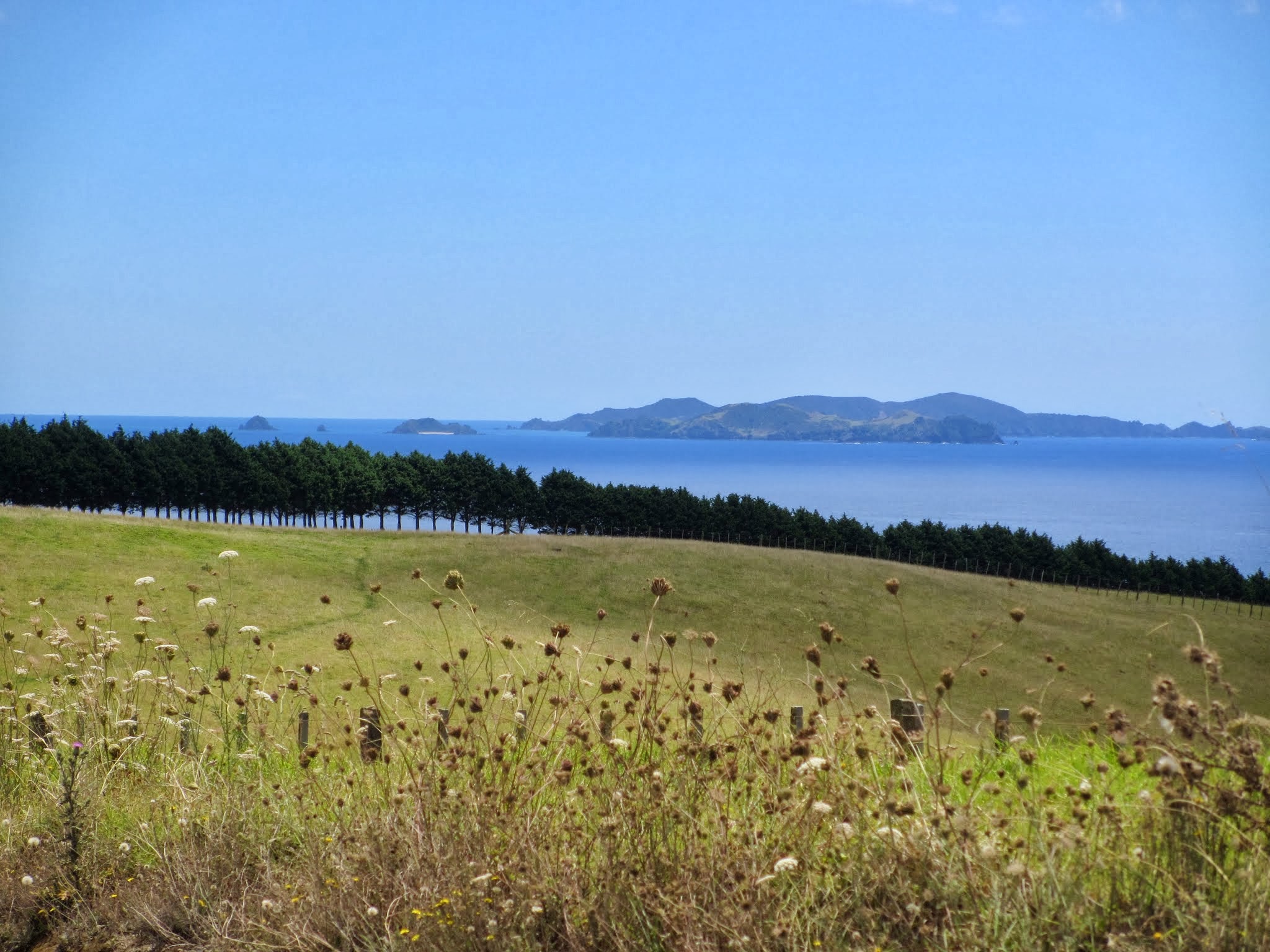
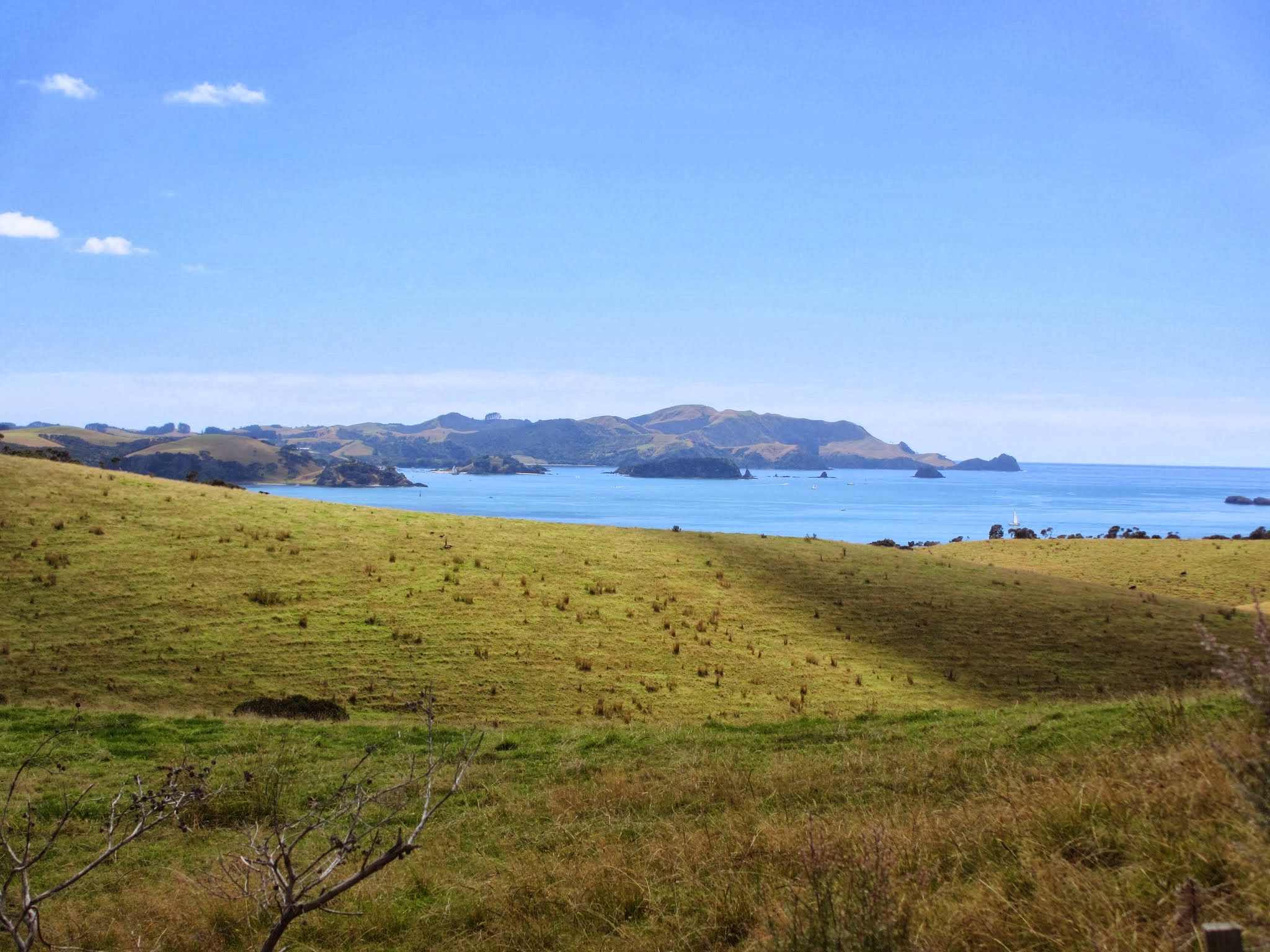
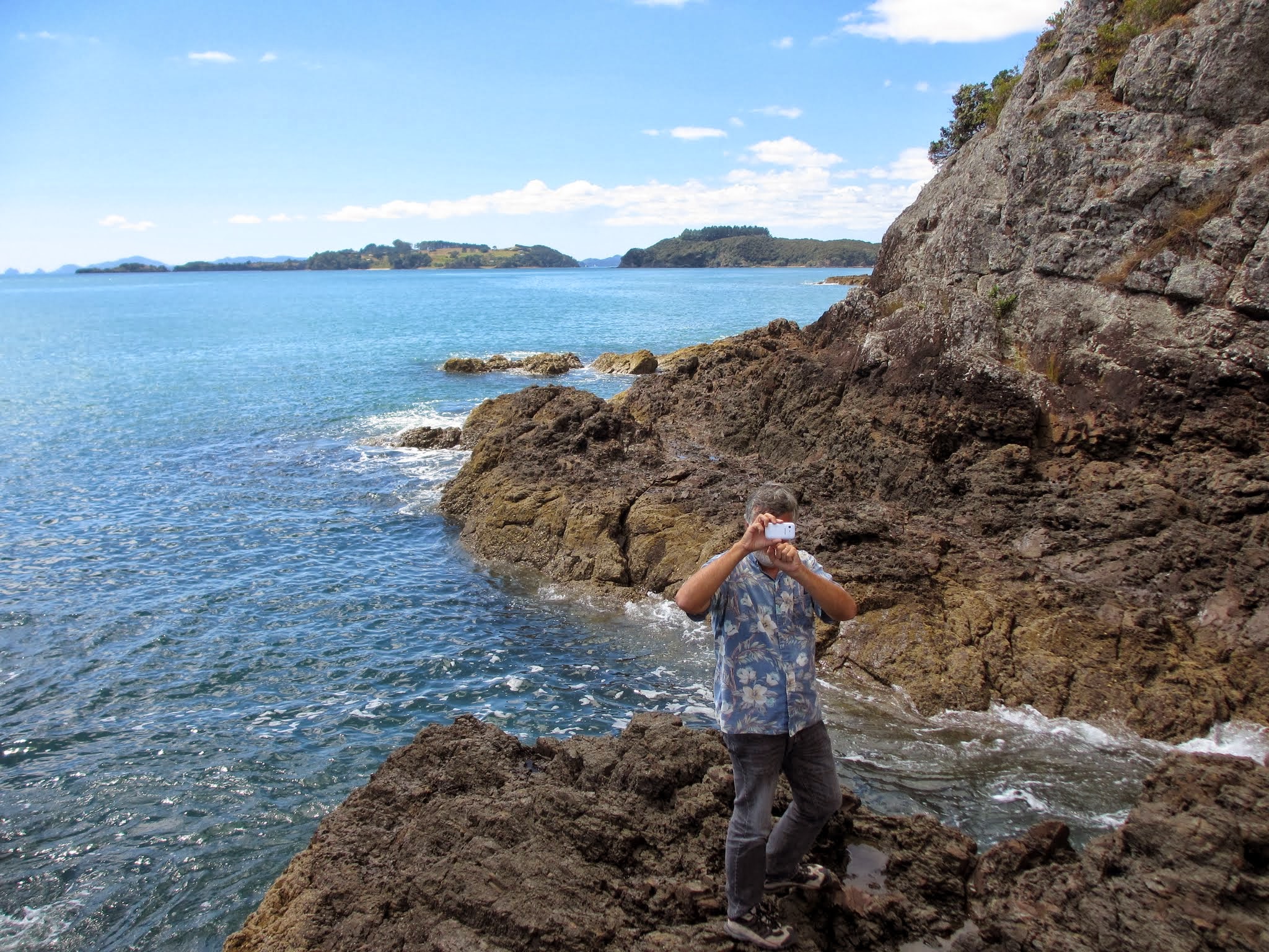
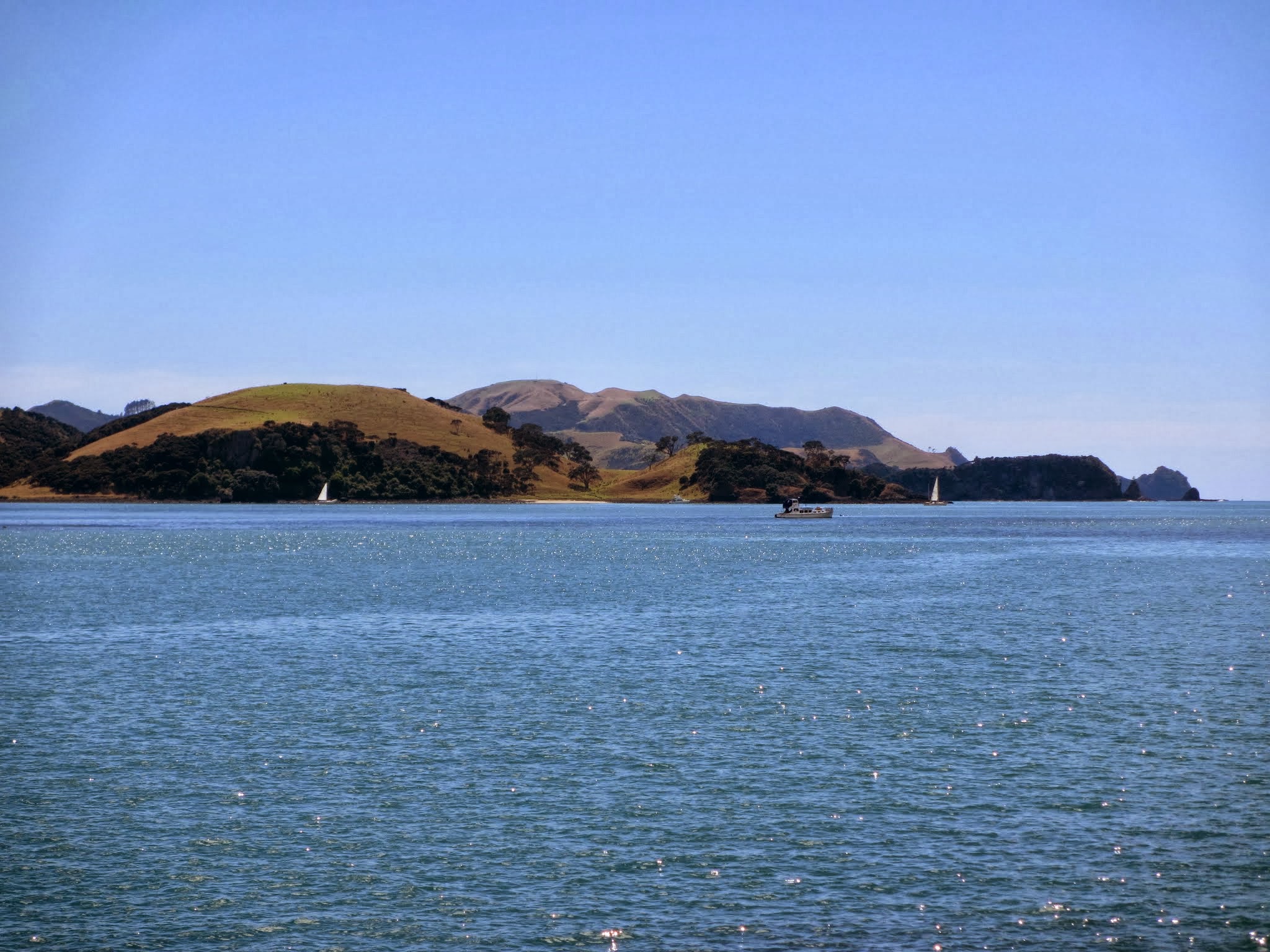
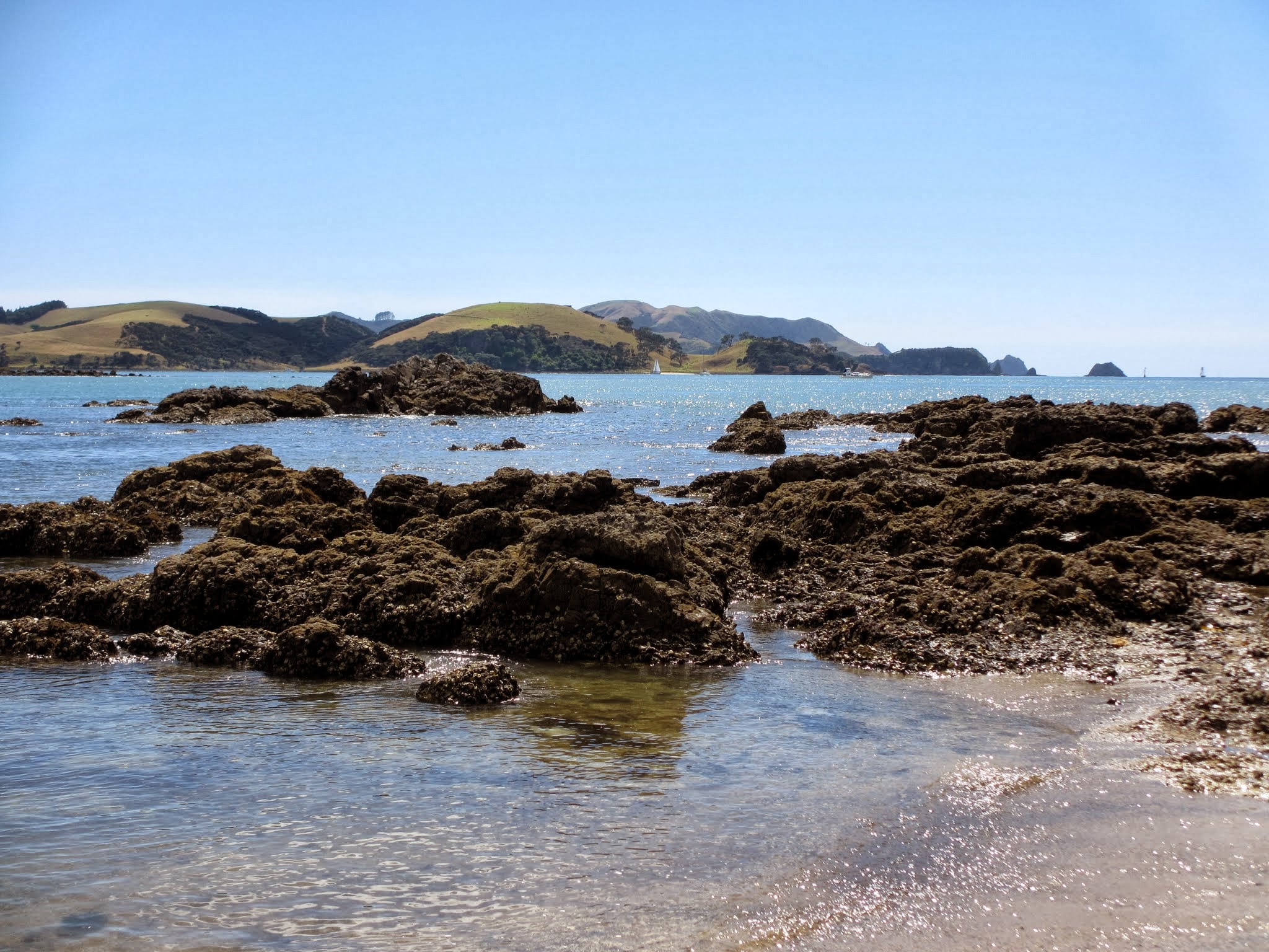
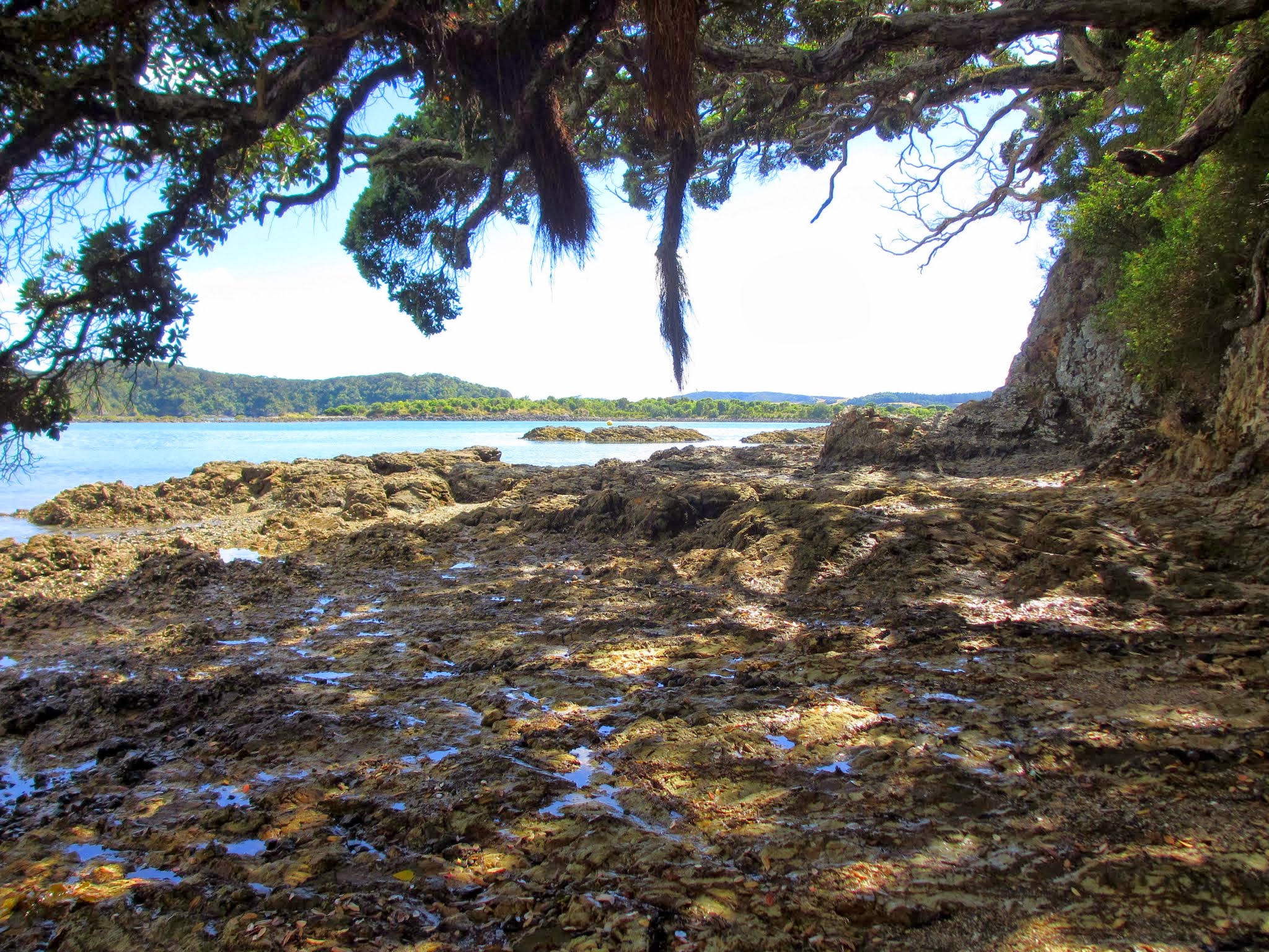
If you drive to the north side of the Kerikeri Peninsula, you will not see open ocean yet. You will instead see the Te Puna Inlet, and the south side of the big, curving Purerua Peninsula. There is a road that goes out on it, and we took a ride out there. It’s very remote and has the windswept feeling of a piece of land that takes the brunt of the seas and weather while keeping the waters of the inlets and part of the Bay of Islands calm. Here’s a gallery of pictures from this day’s outing. – Cyndi (Click on any picture to enlarge and scroll.)