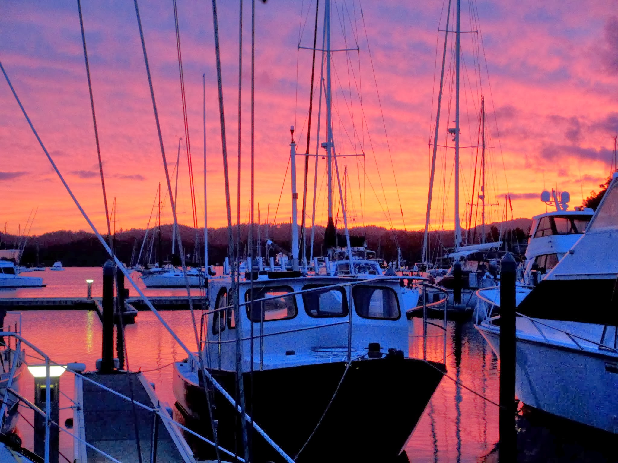
Before, Later, After (Cavalli Islands, New Zealand)

March 8, 2013

We decided to take a shorter route in through some of the Cavalli Islands rather than out, around all of them.  There was a narrow, but hopefully well-charted pass.

Our route in through the pass.

Below is what I’d have looked like doing this pass at 25 years old.  Confident, care-free and calm.

Confident Rich
Confident Rich

Then later, at 54, before Lexapro, not so calm.

OMG!!!
OMG!!!

Now, at 54, almost 55, with Lexapro, relaxed.  Back to my normal self.

No Biggie
No Biggie

For more on this, see our previous post here. -Rich

Bay of Islands: Beautiful Roberton Island (New Zealand)

March 6, 2013

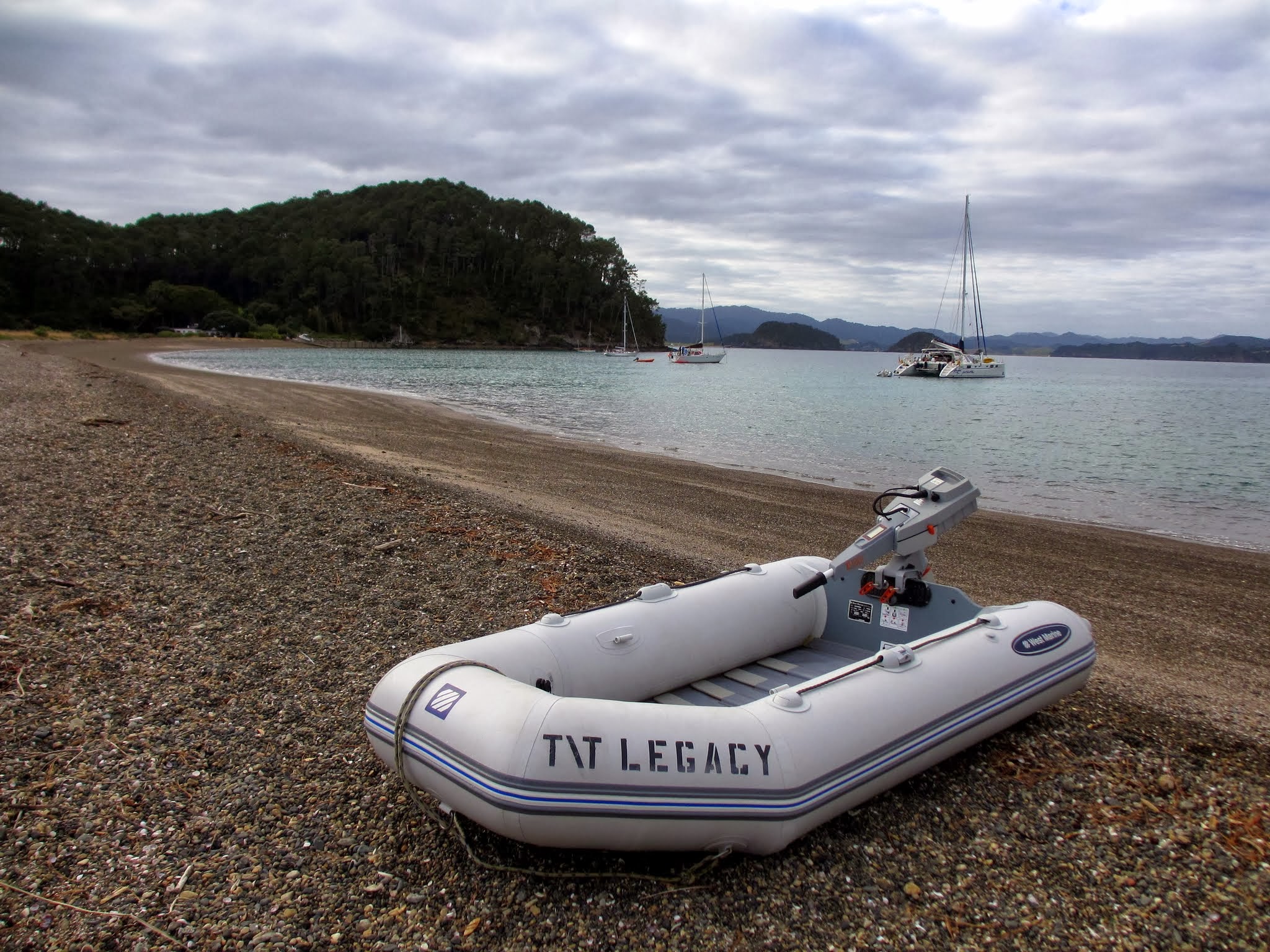
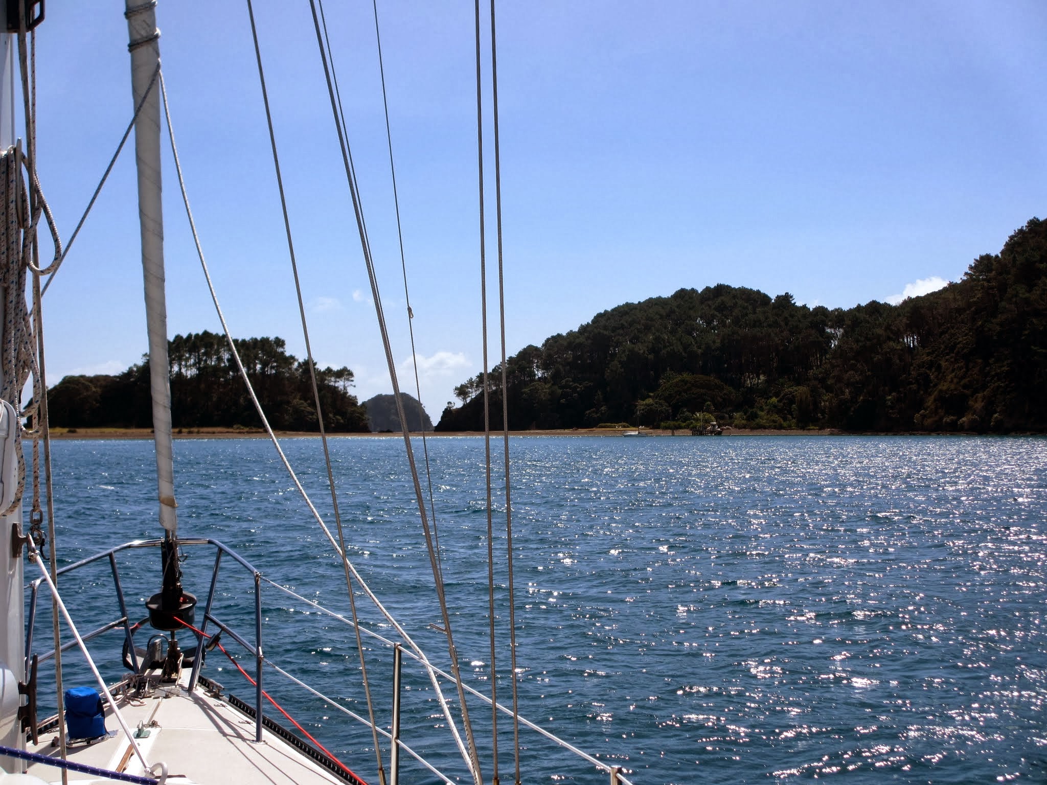
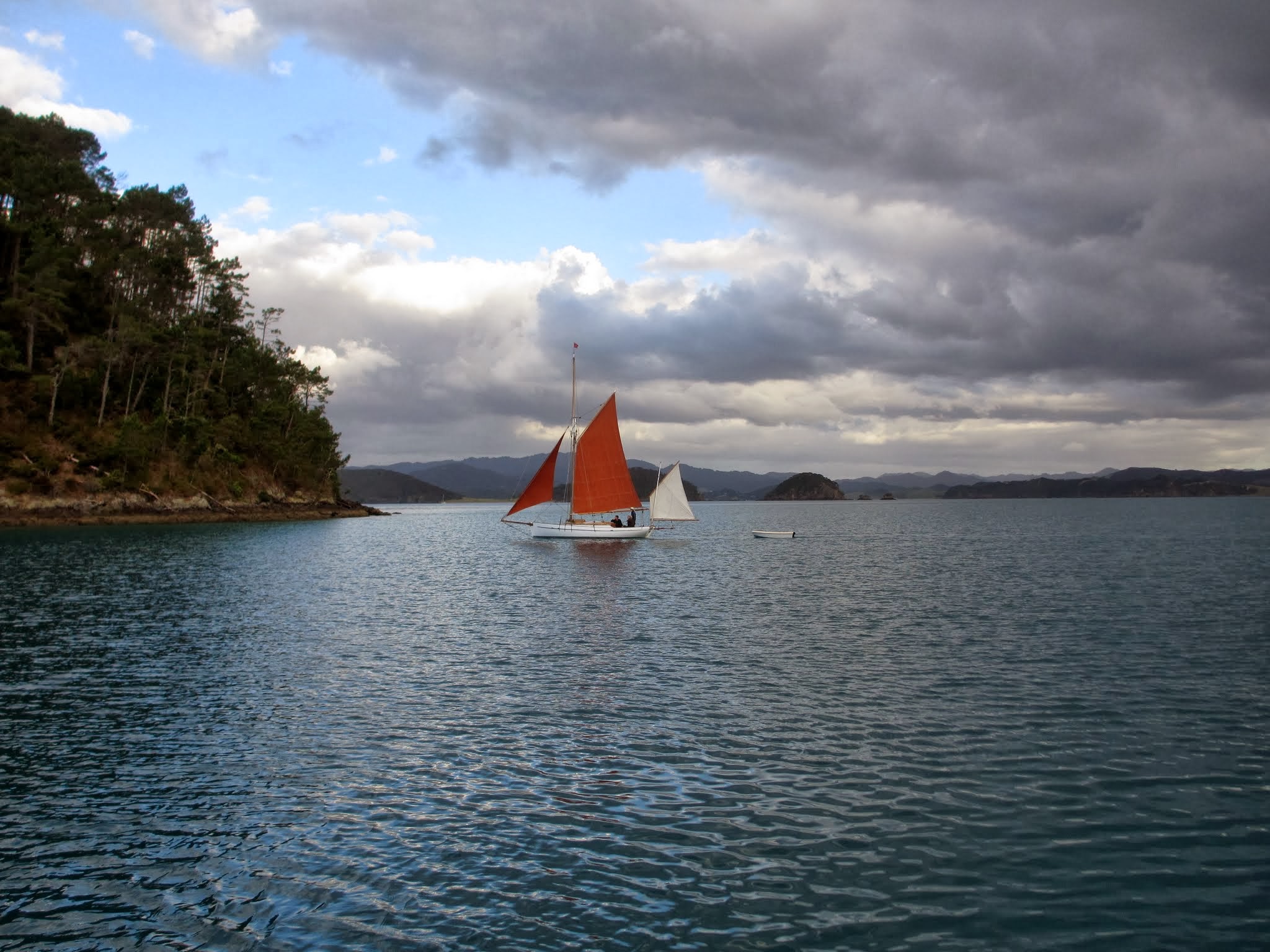
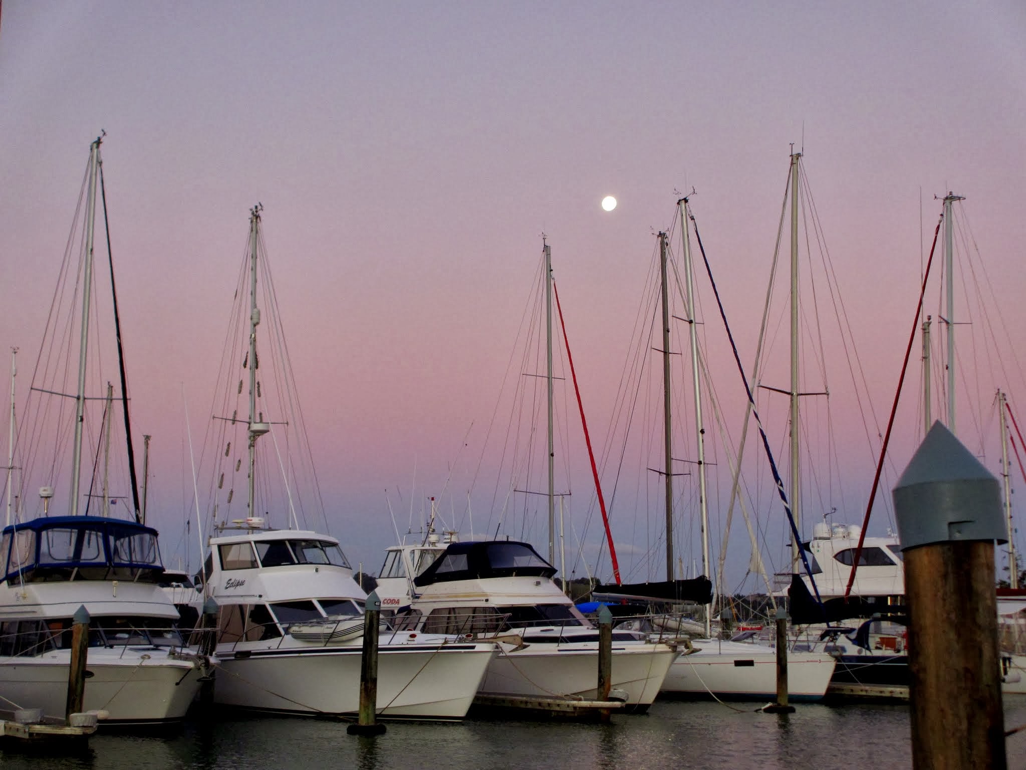
We headed out of our slip early in March, which was good timing because the weather was predicted to be good for the week ahead, sunny and mild.  We decided to start our cruise at Roberton Island (aka Motuarohia Island), one of the islands in the Bay of Islands.  It’s probably an hour from Roberton to the entrance of the bay; so we could leave early the next morning for the Cavalli Islands, a few hours to the north.

We felt very sad to leave our comfort zone of Opua.  We felt like part of the community there, and it had been nice to take a break from cruising and not have to think about weather, electricity, making water, provisioning, or any of that stuff.  It was intimidating to now face the moody weather and seas of New Zealand, but to experience some the best things in life, you have to get off your butt and get out there.

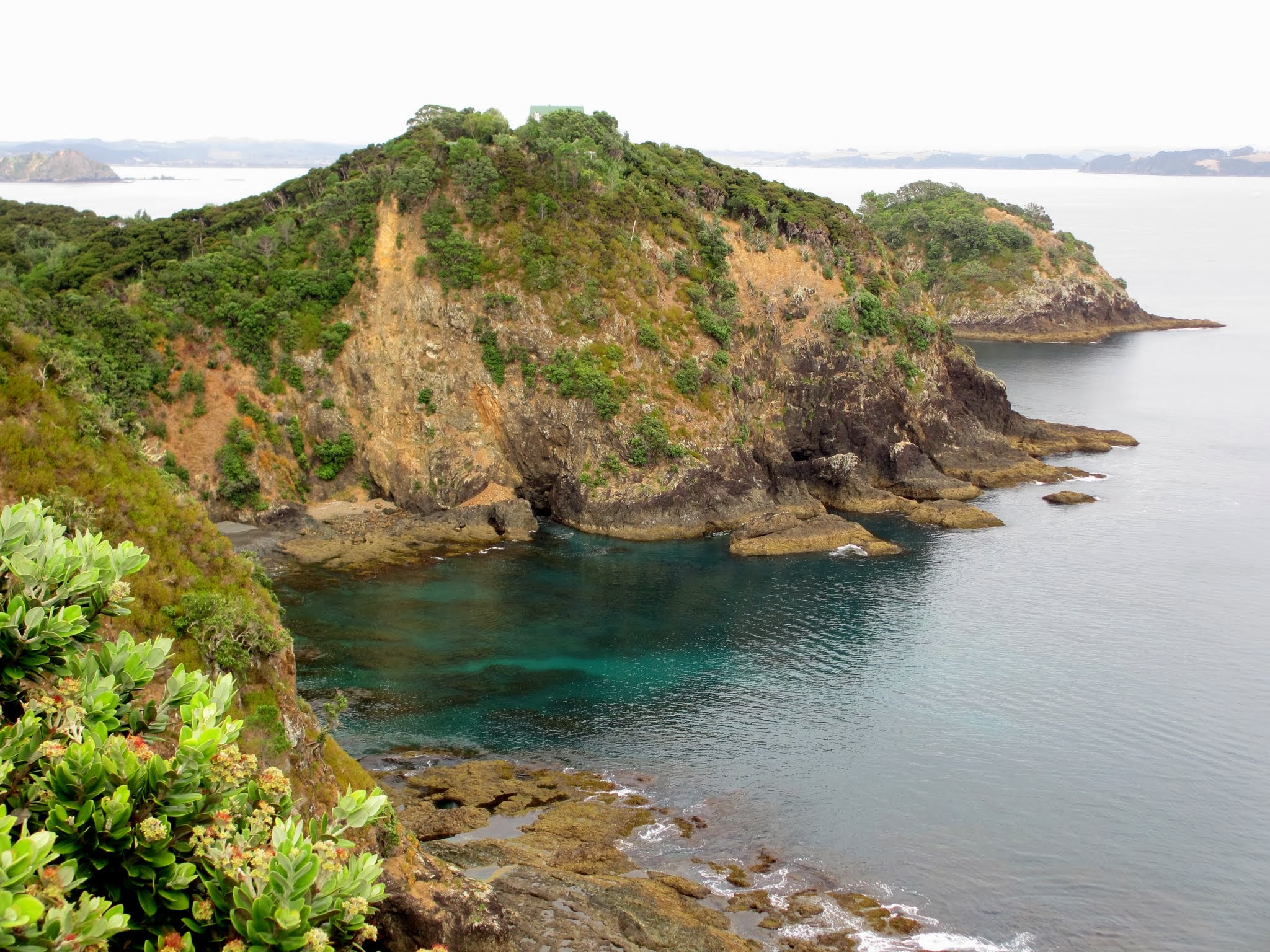
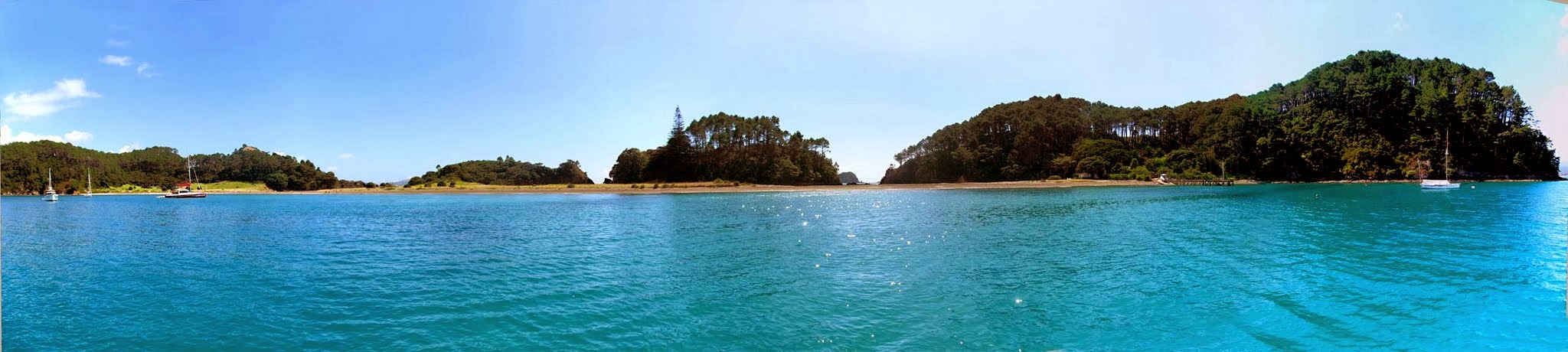
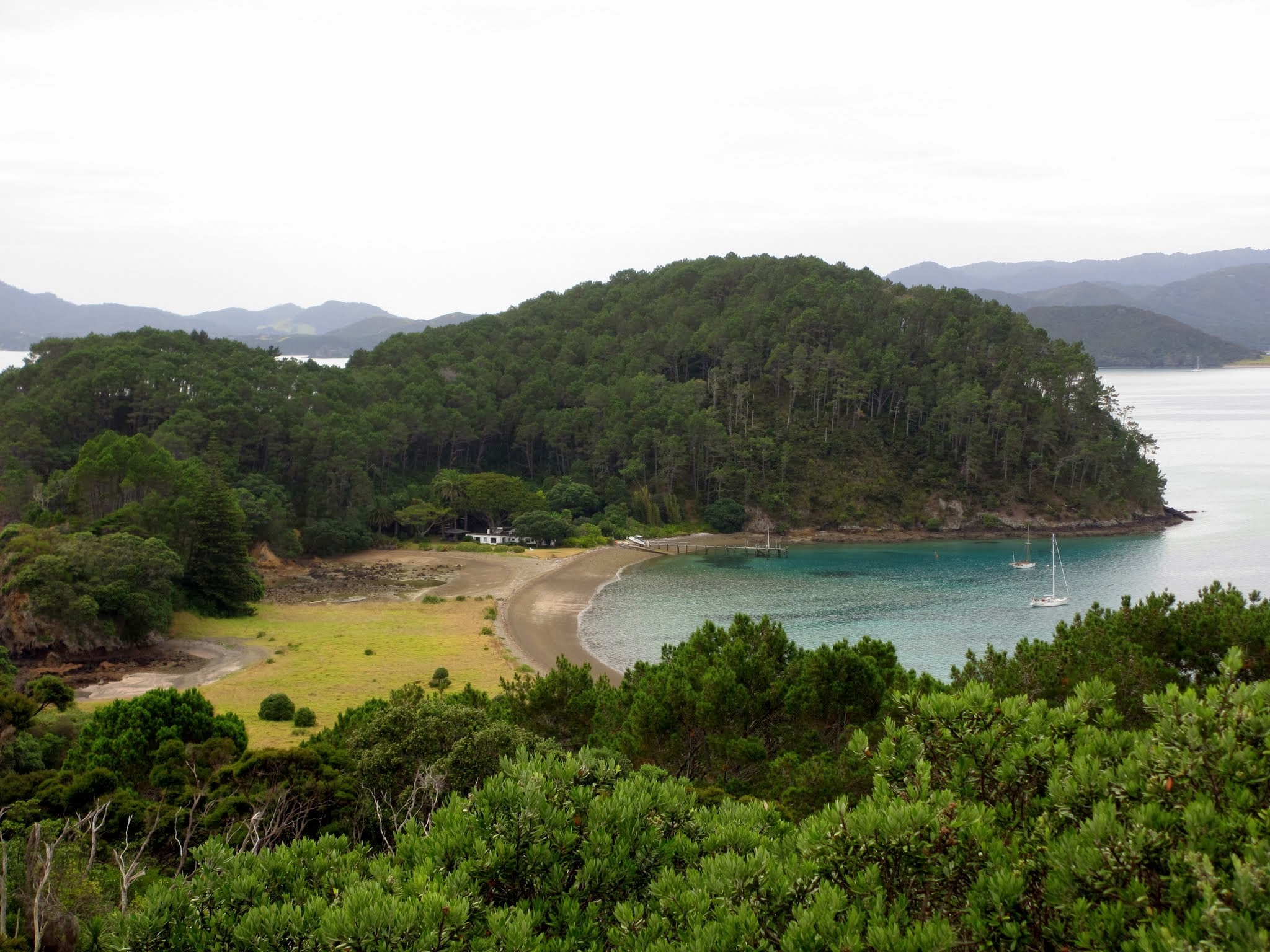
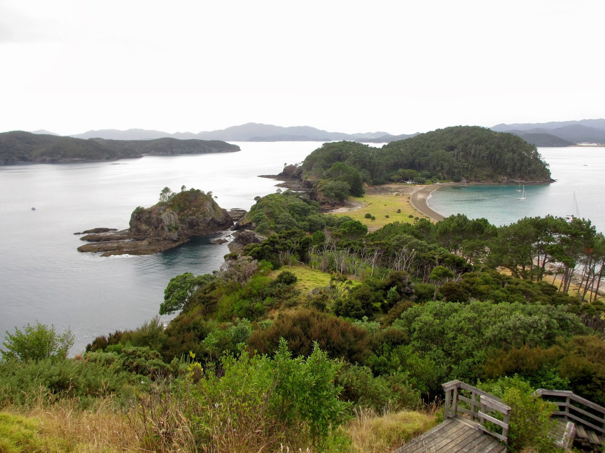
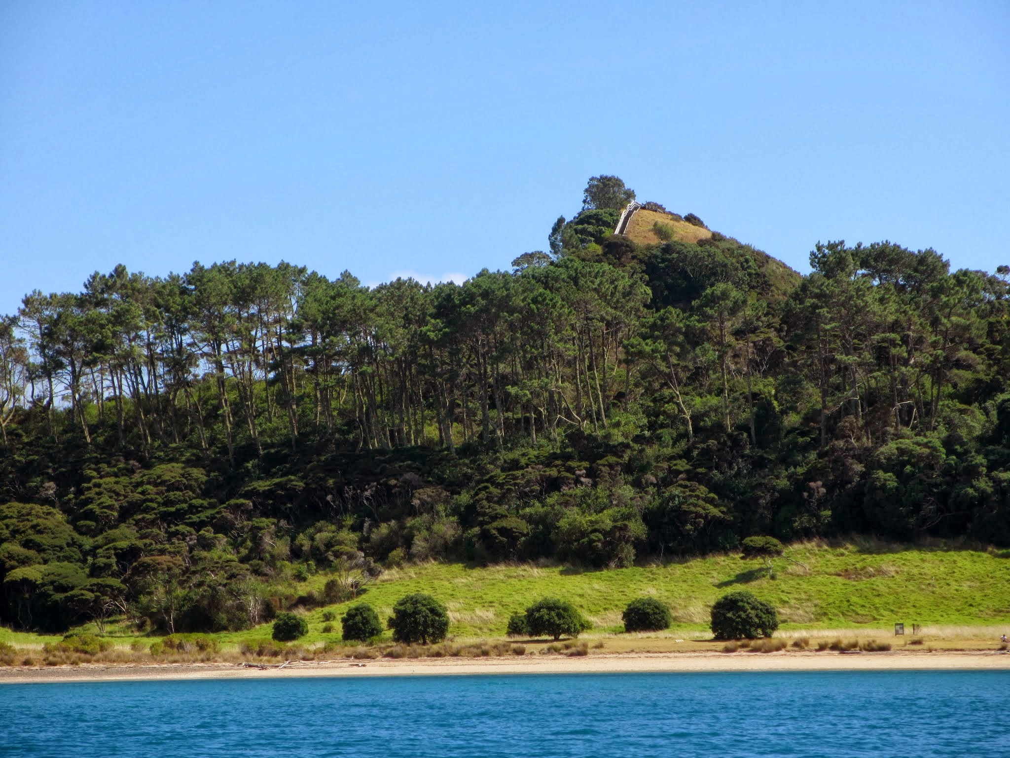
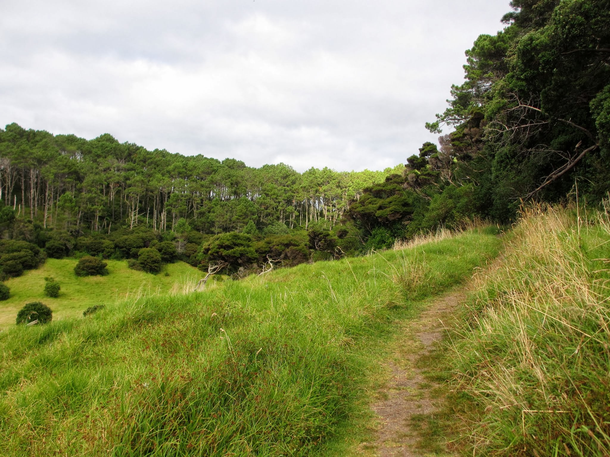
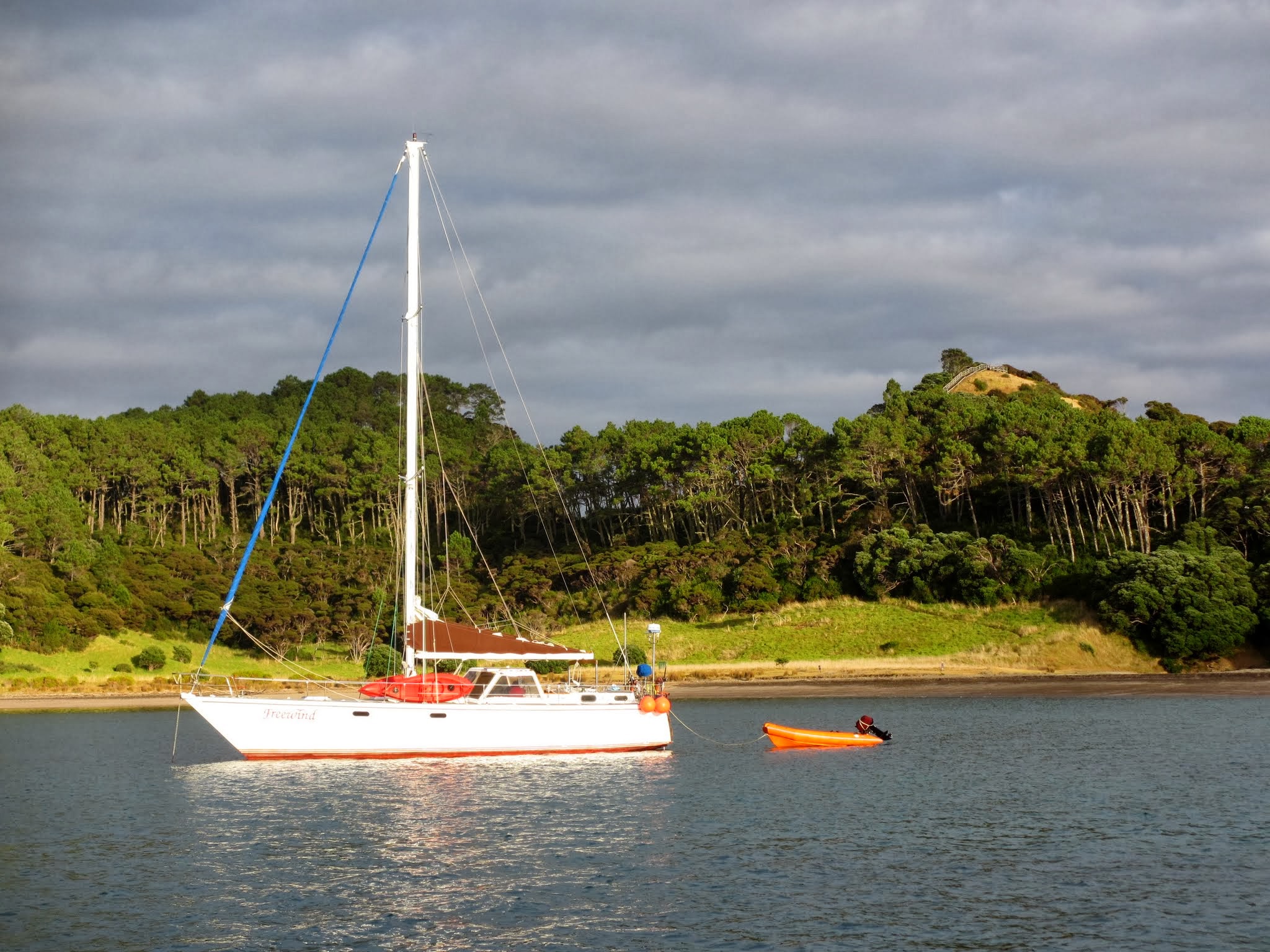
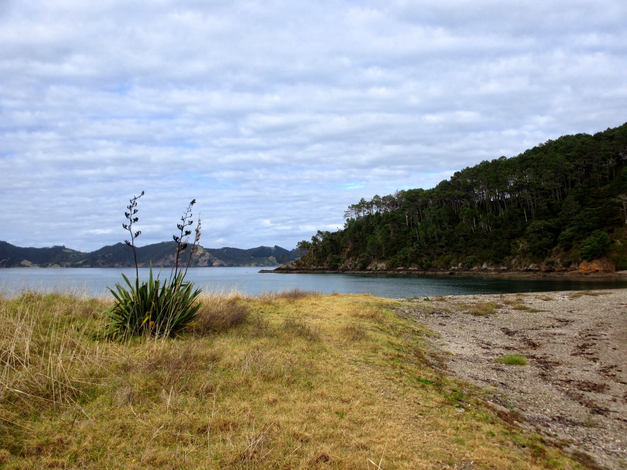
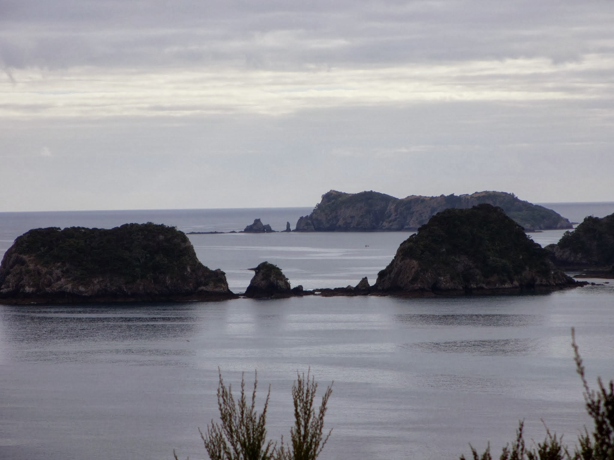
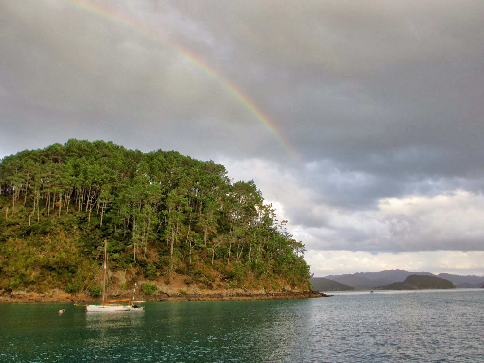
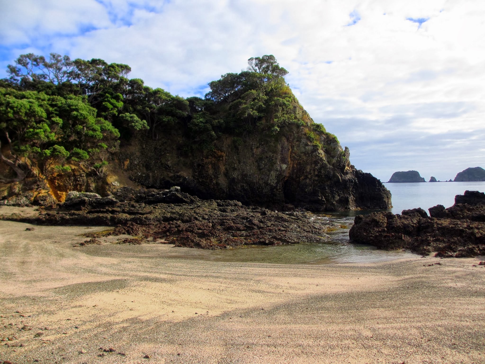
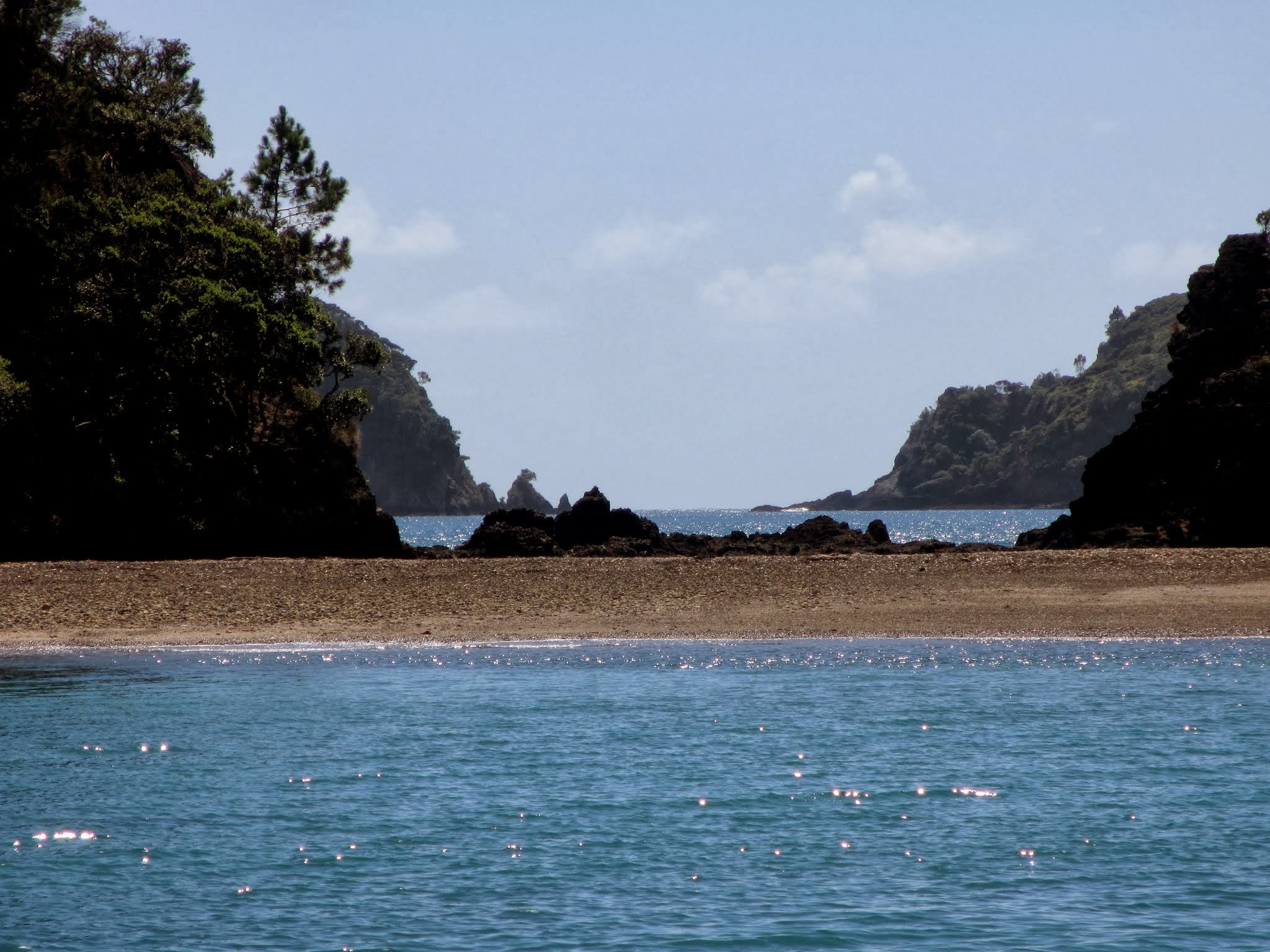
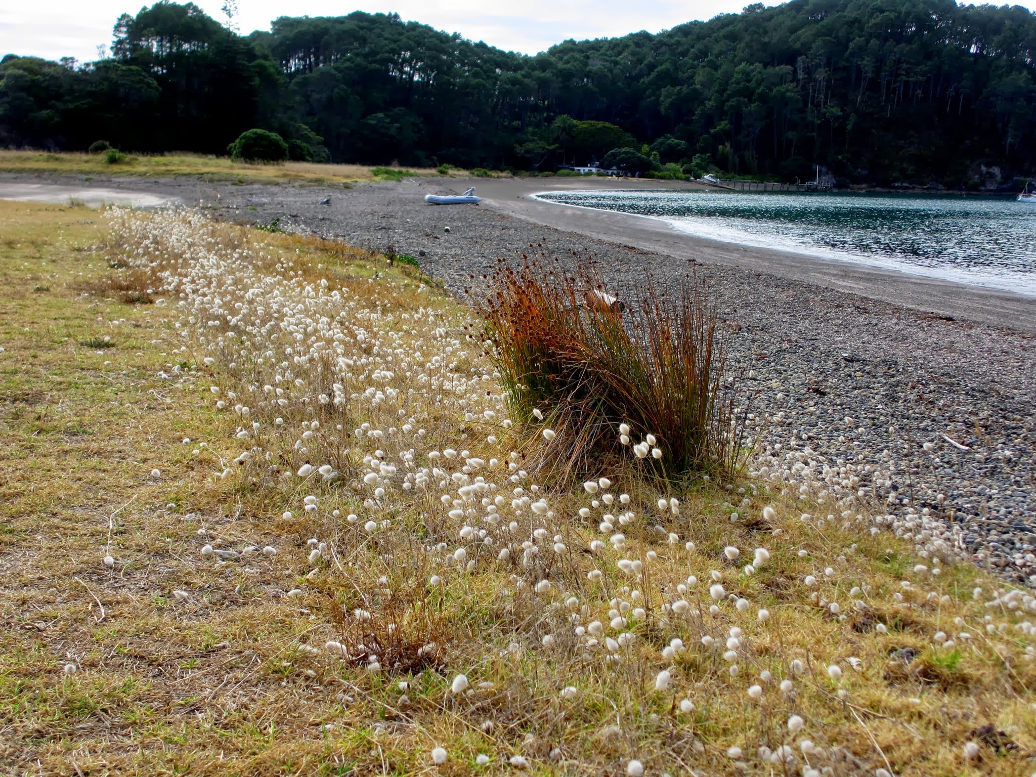
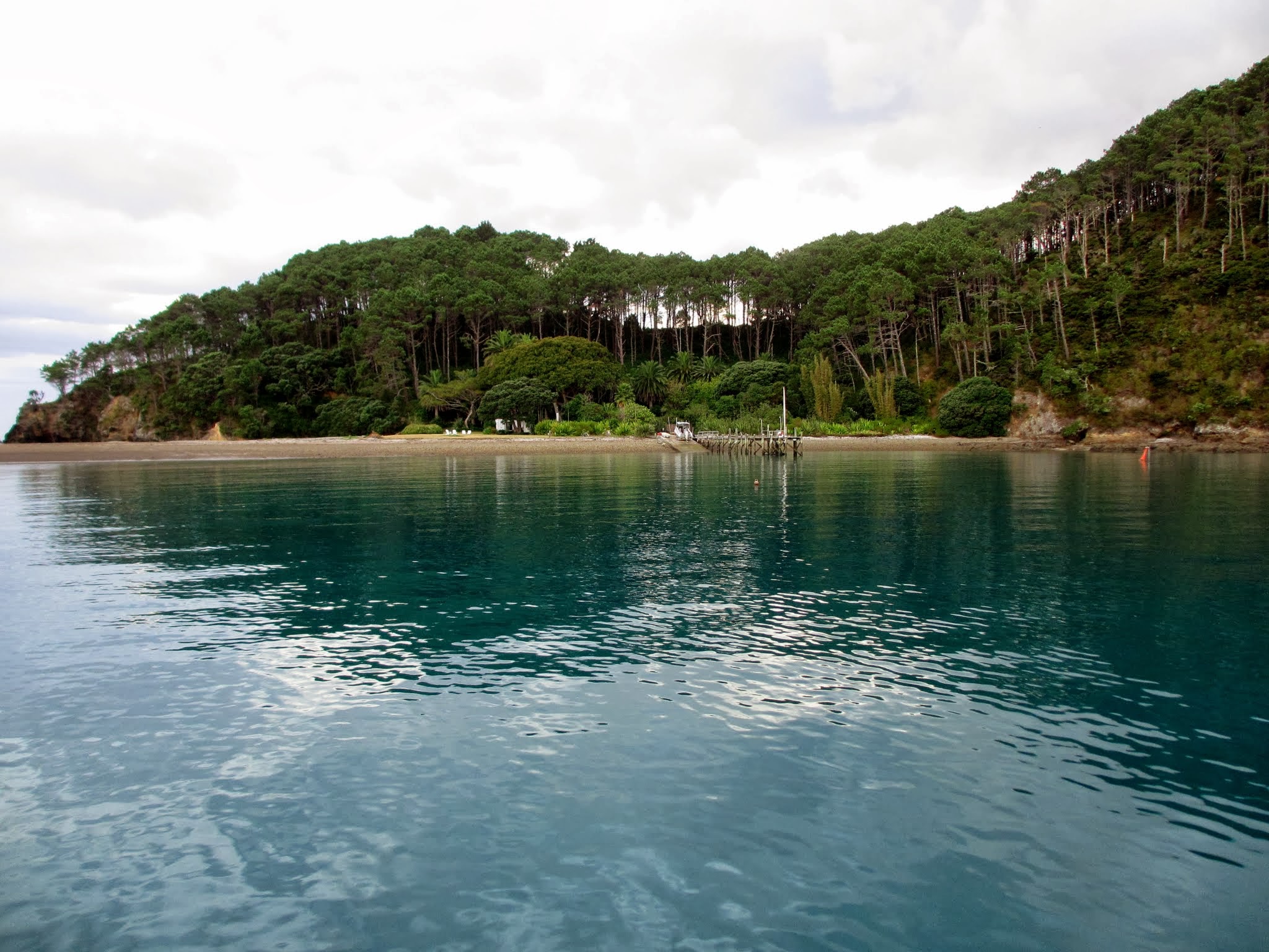
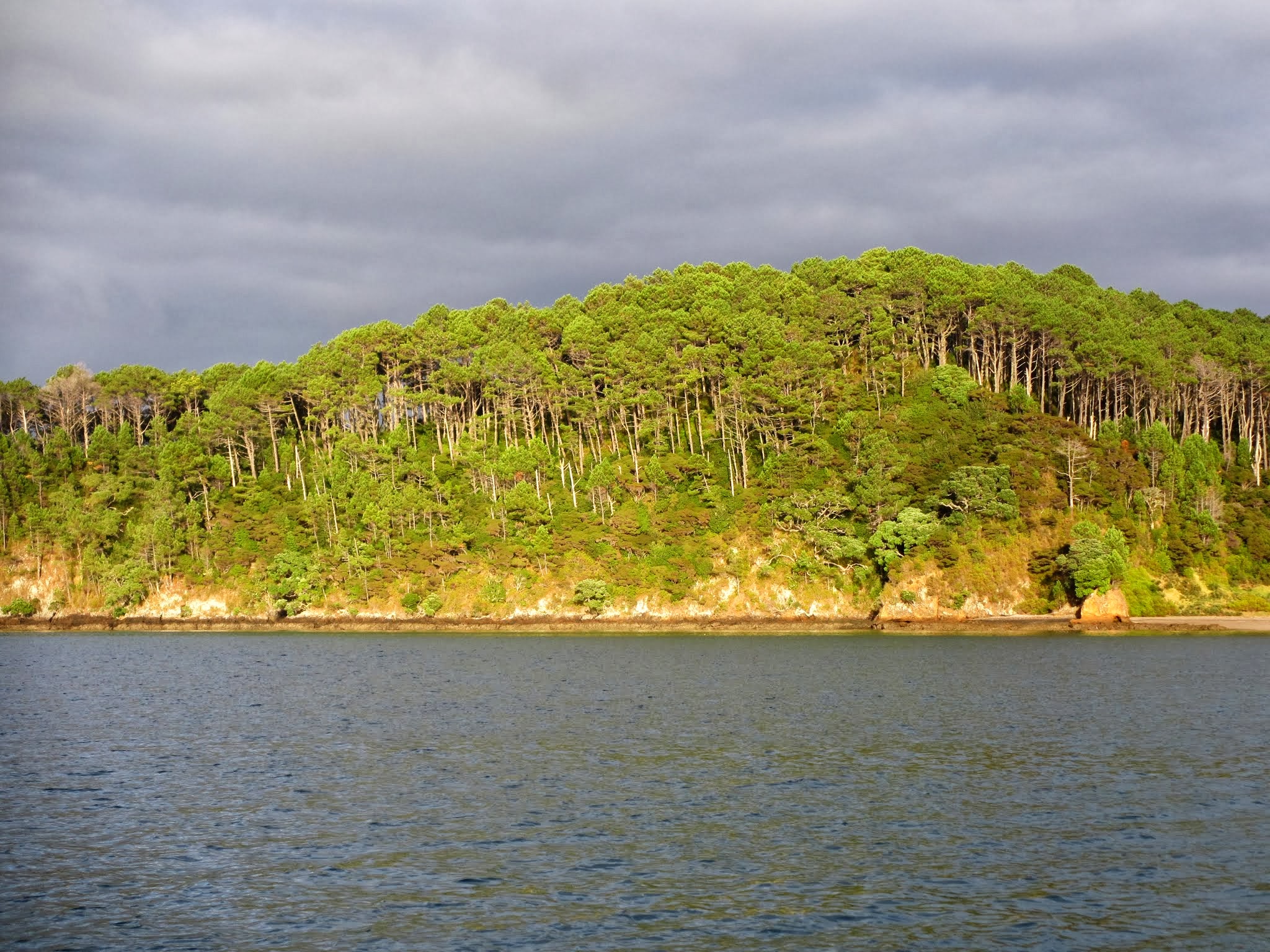
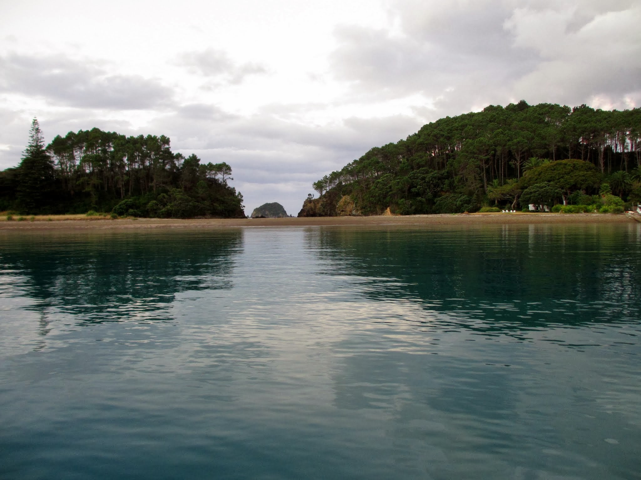
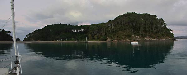
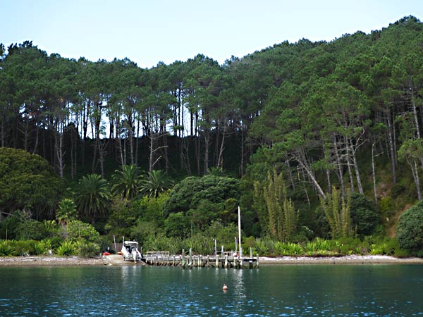
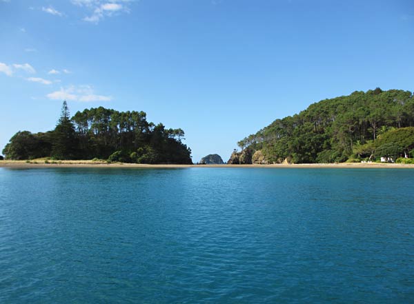
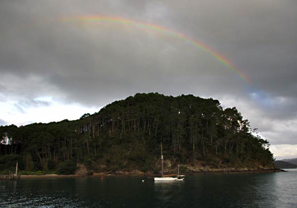
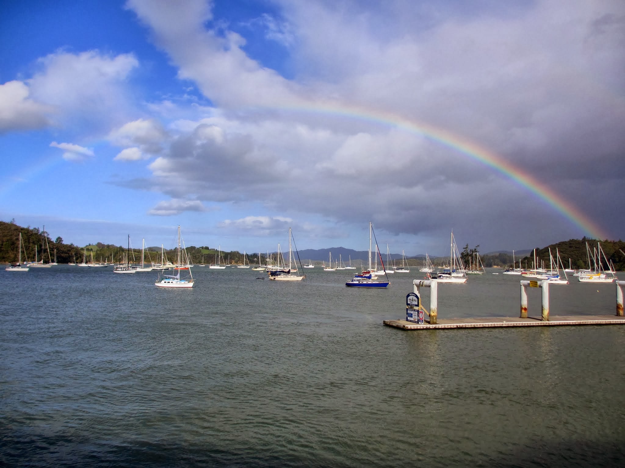
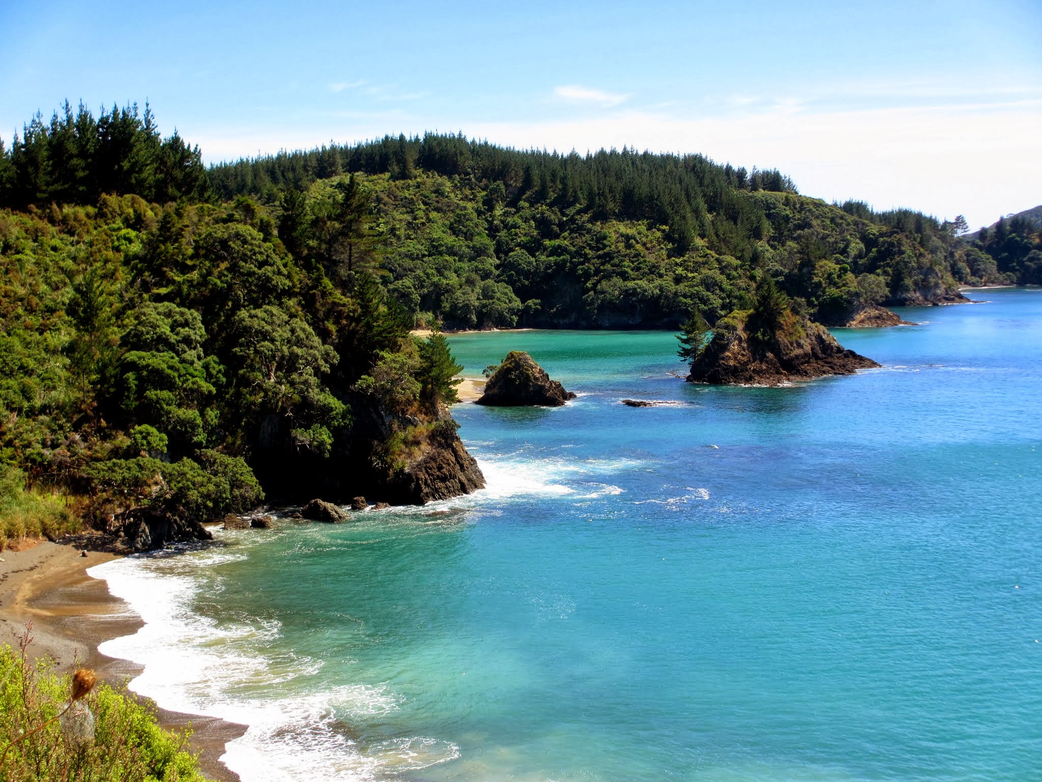
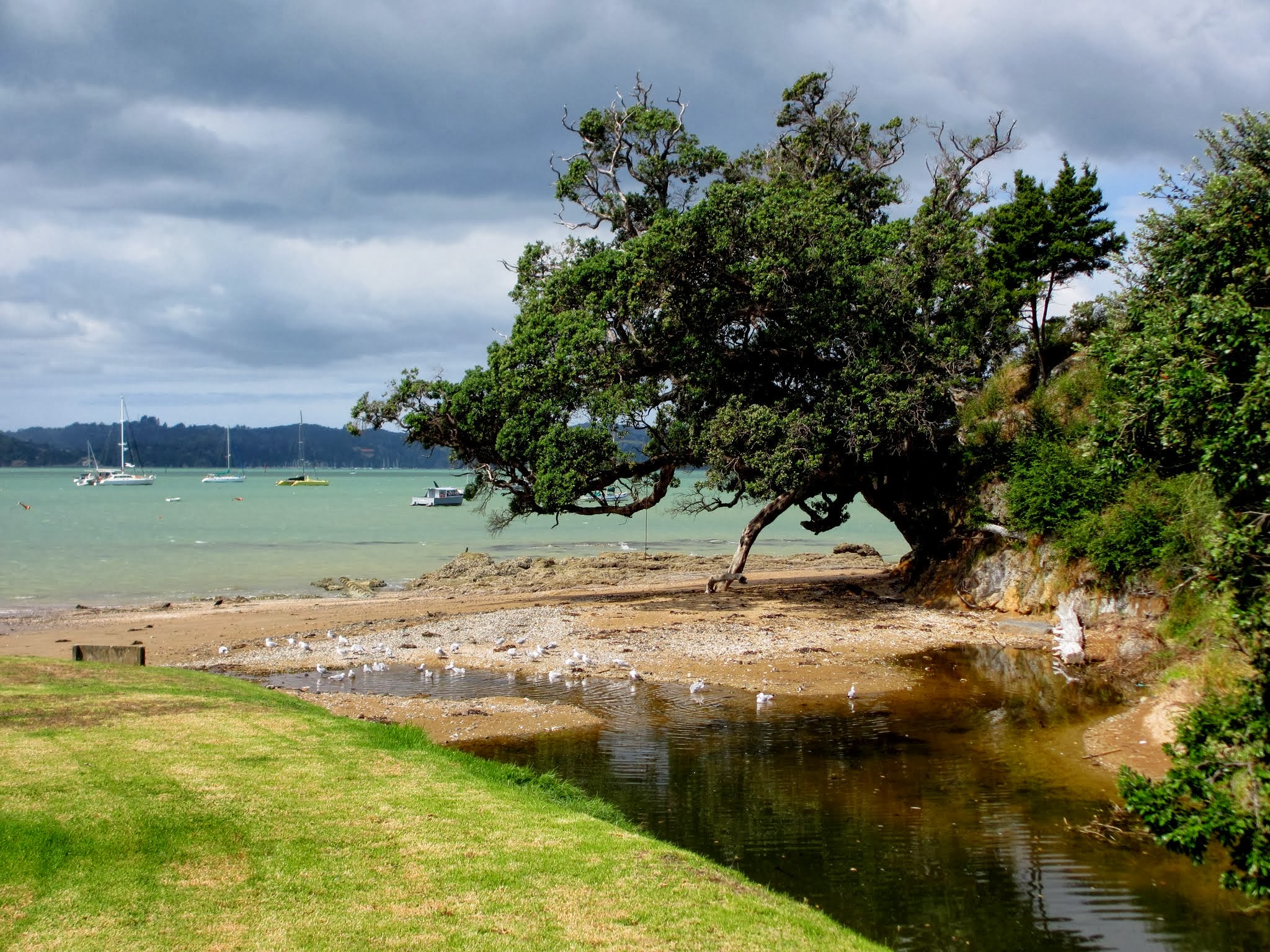
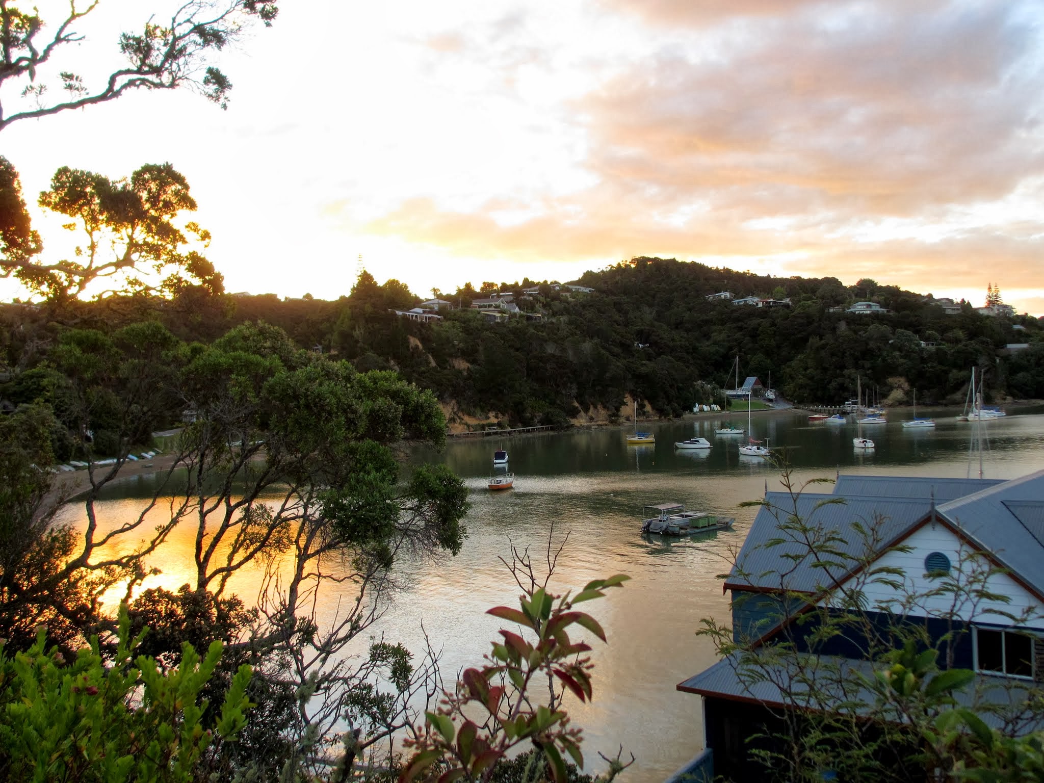
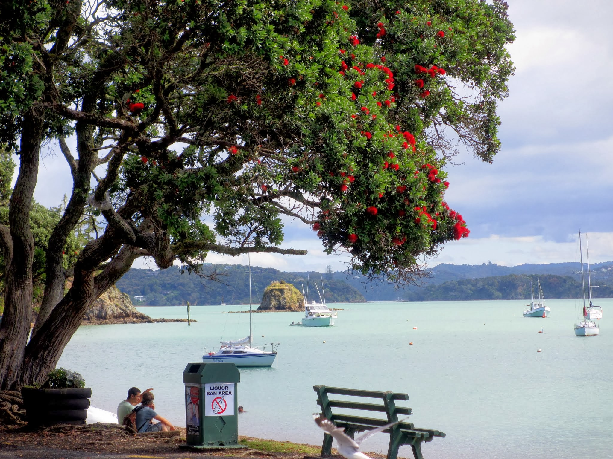
It took less than an hour to motor out to Roberton Island.  We found a nice roomy bay with only a couple of boats there.  And what a beautiful, enchanting place!  Large hills on each side of the island drop to an isthmus in the middle.  The isthmus has its own small hills, but you can see through the gaps to rock islands on the other side.

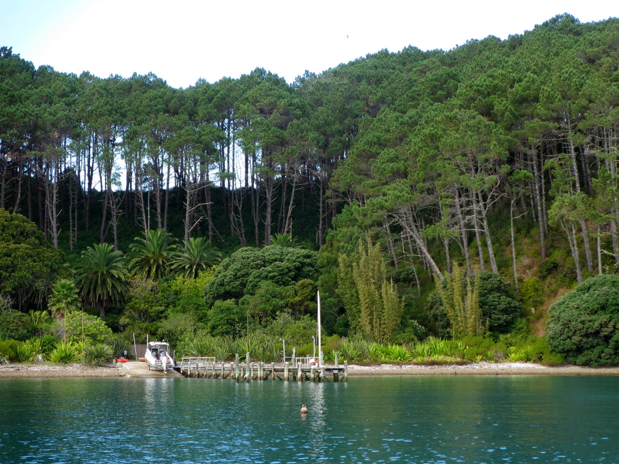
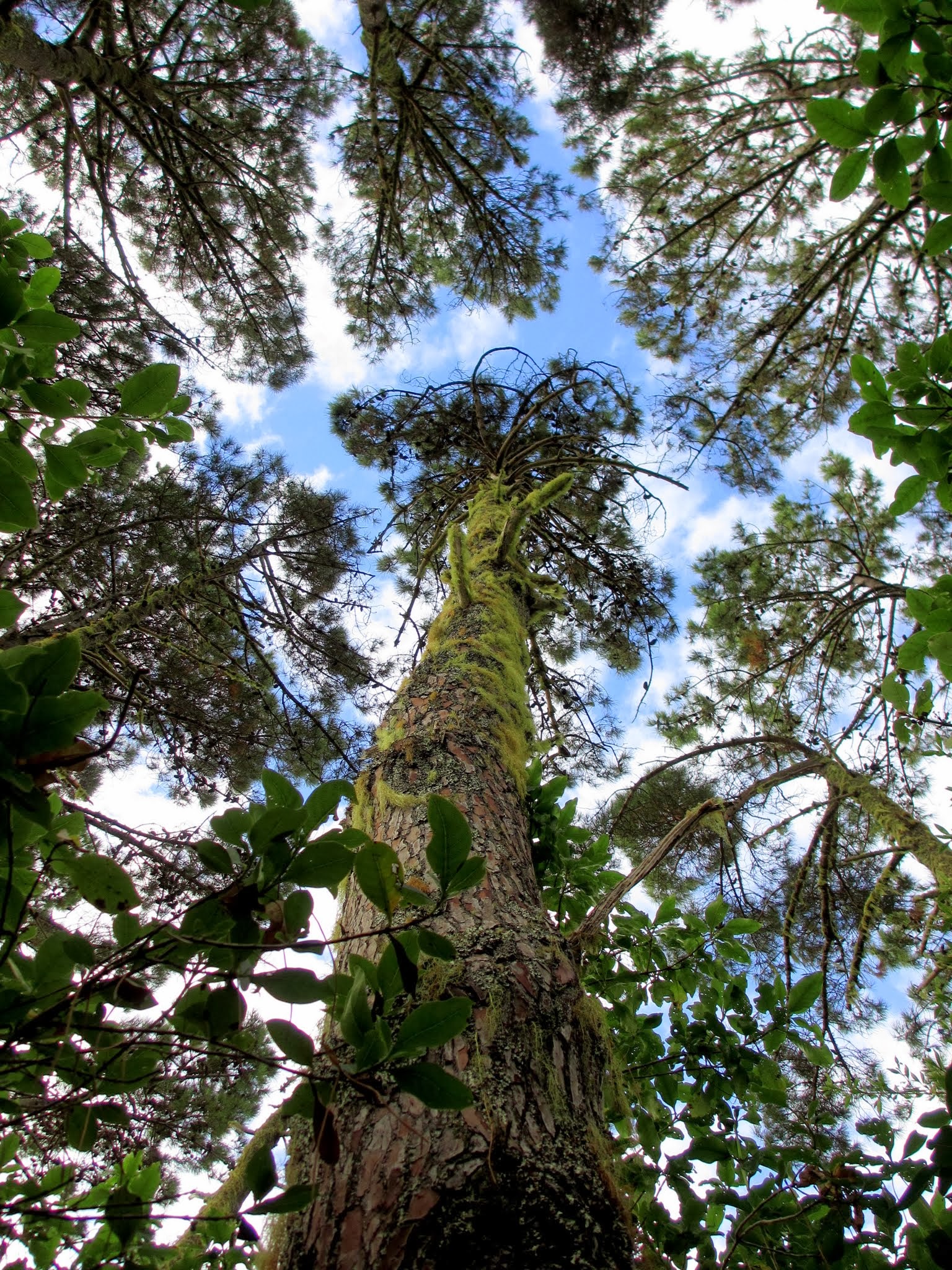
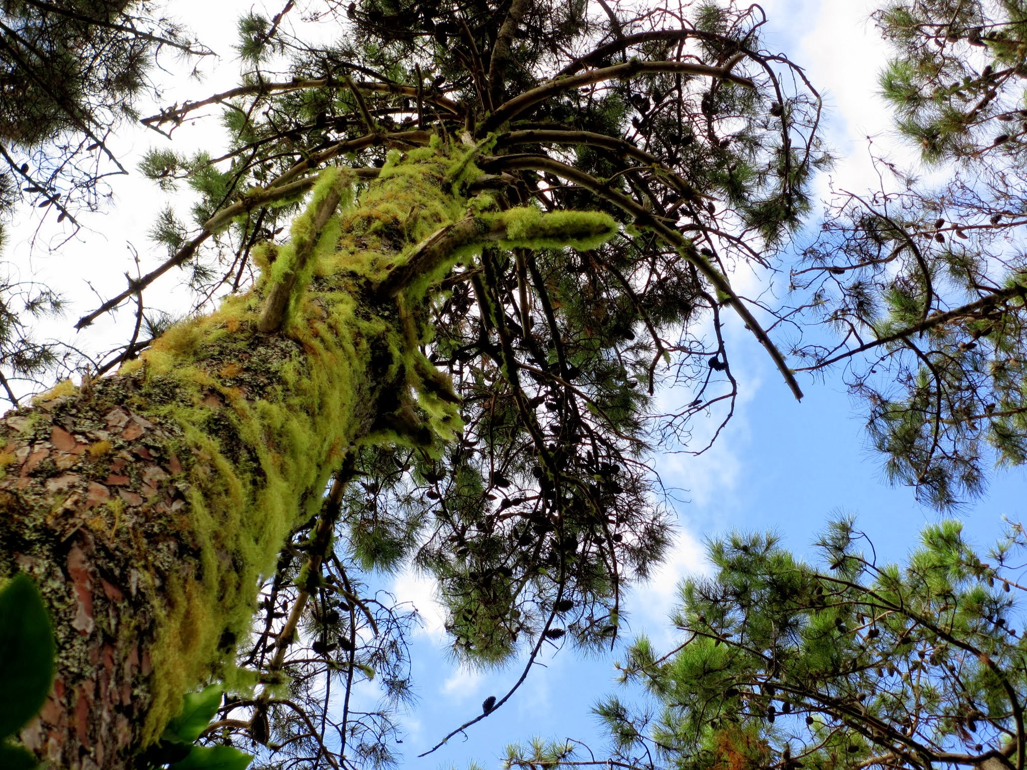
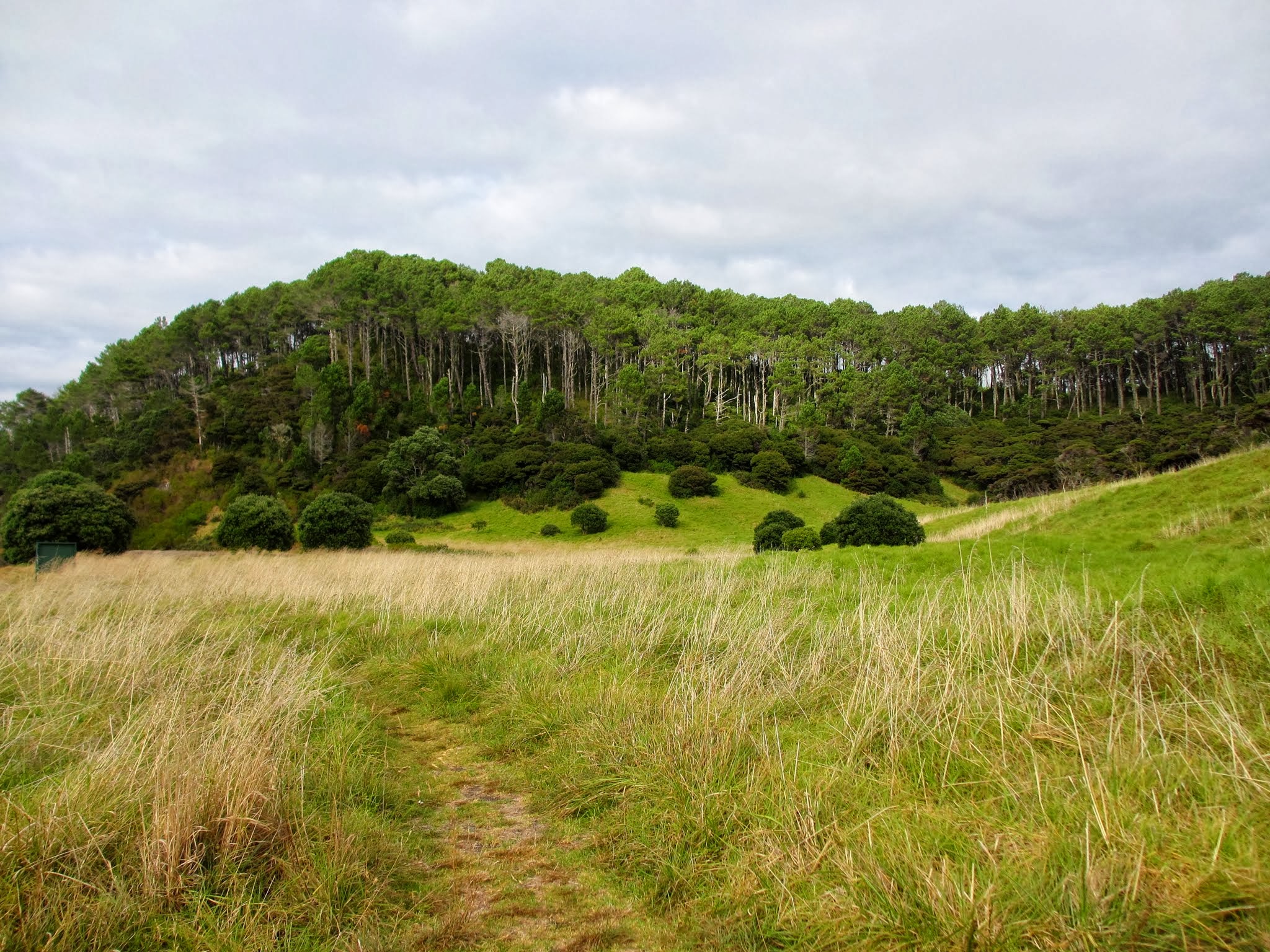
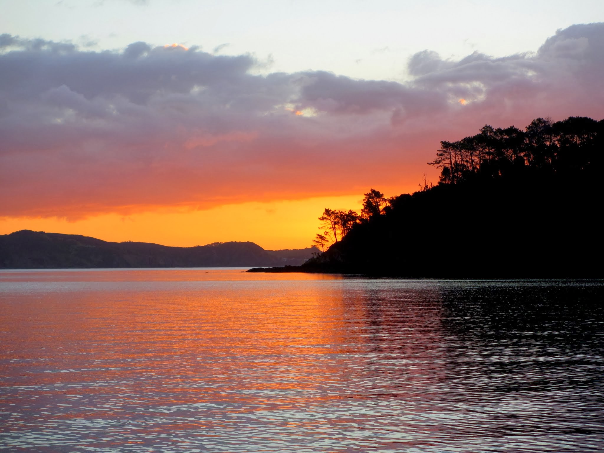
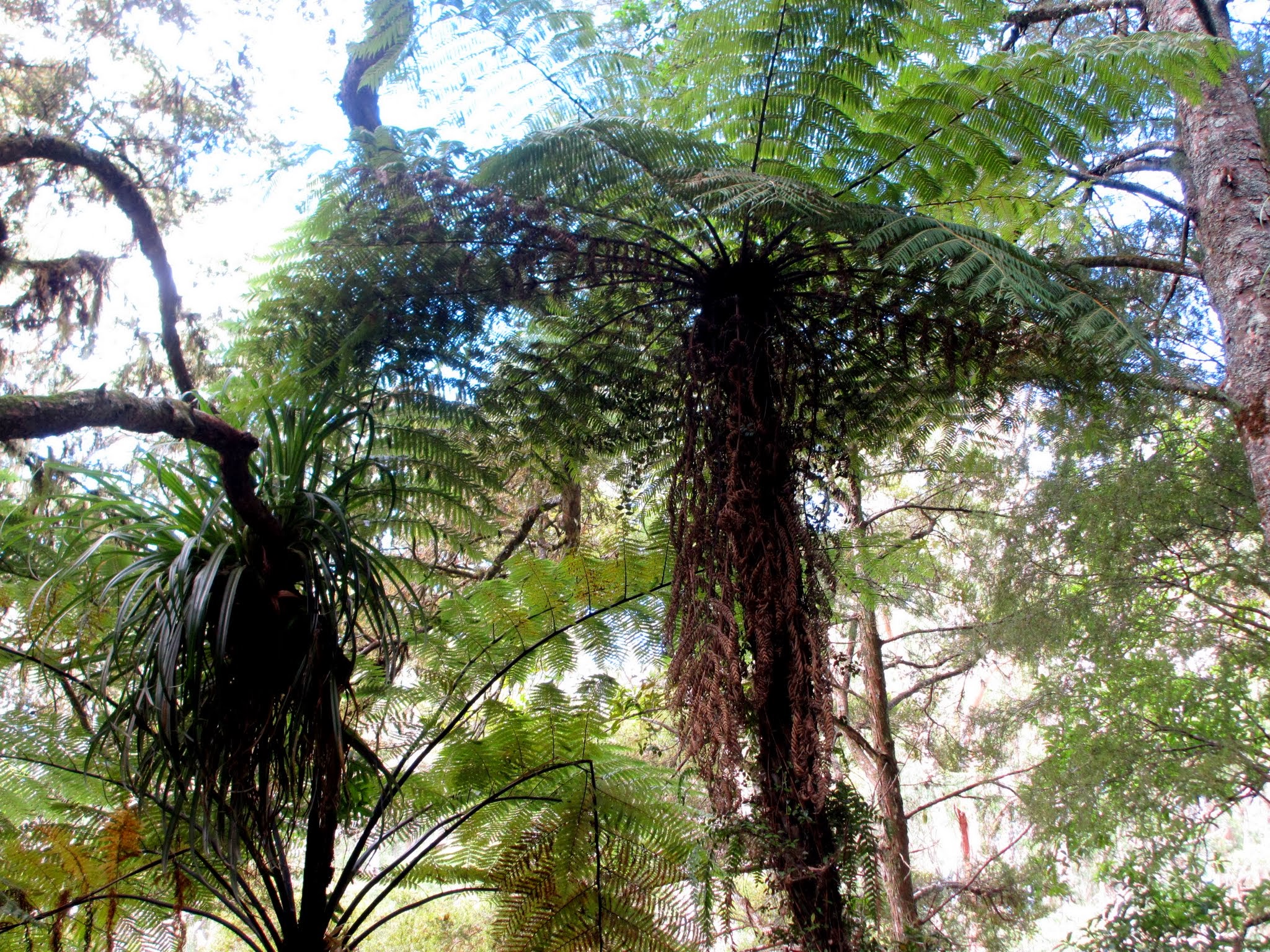
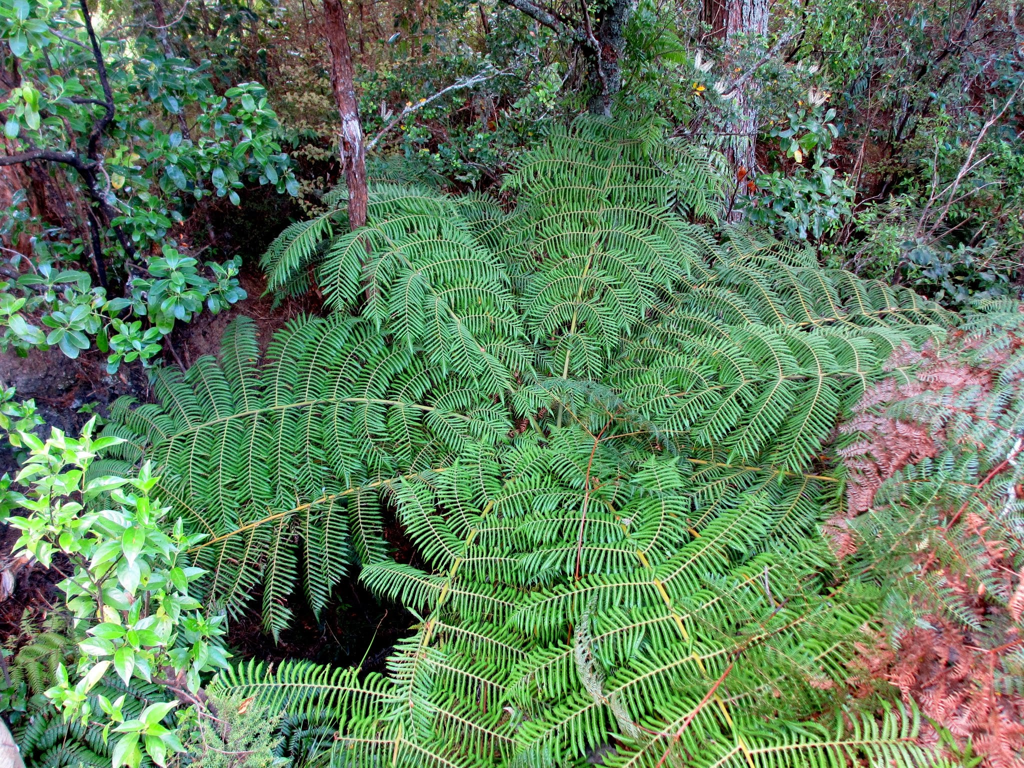
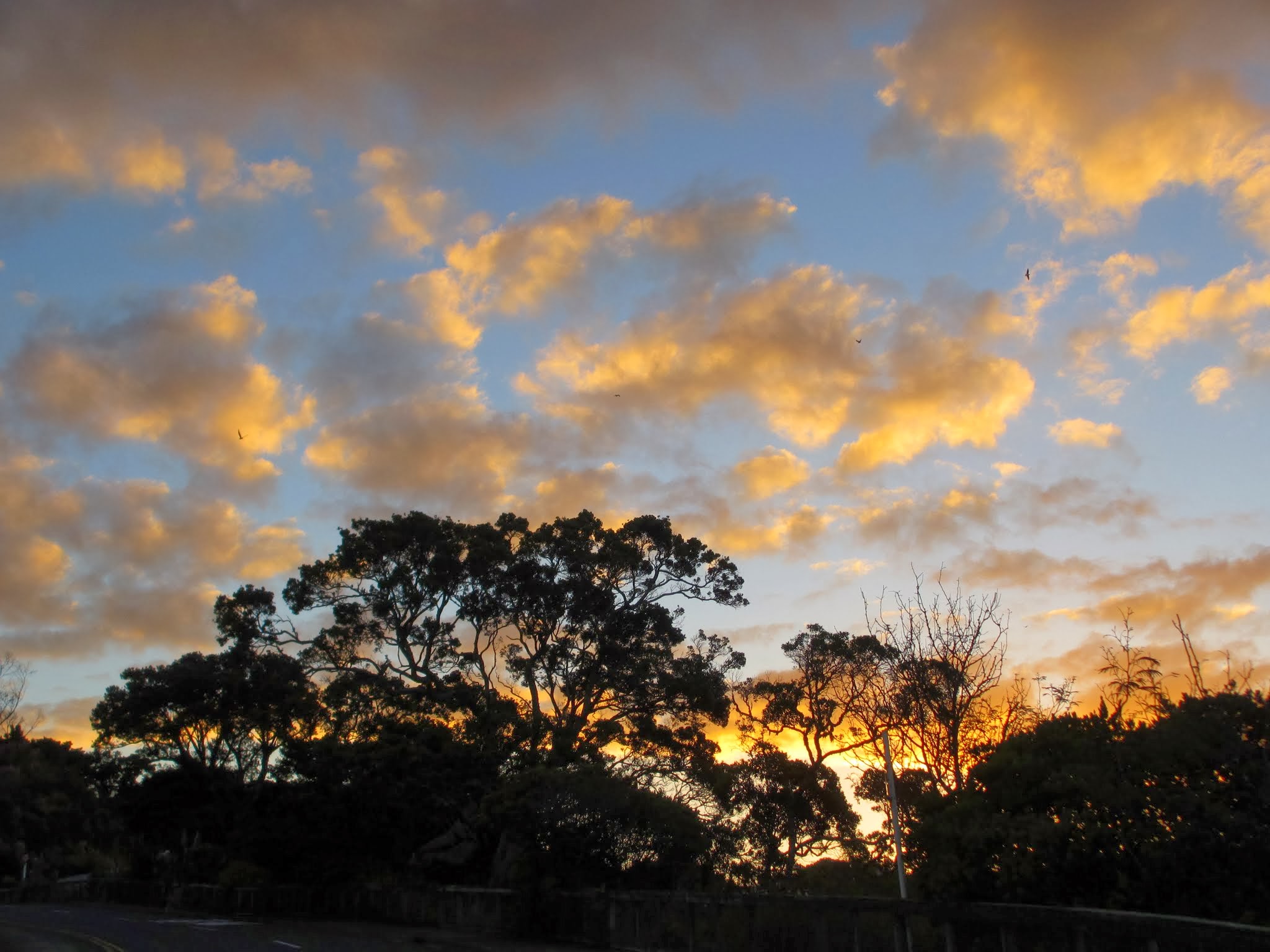
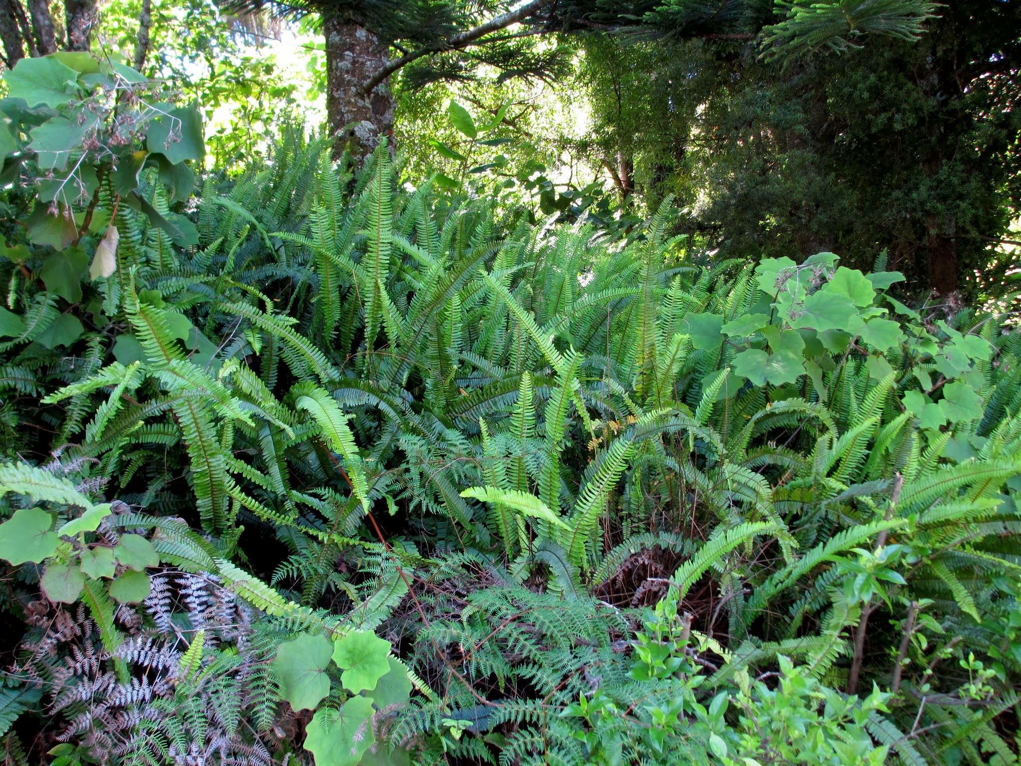
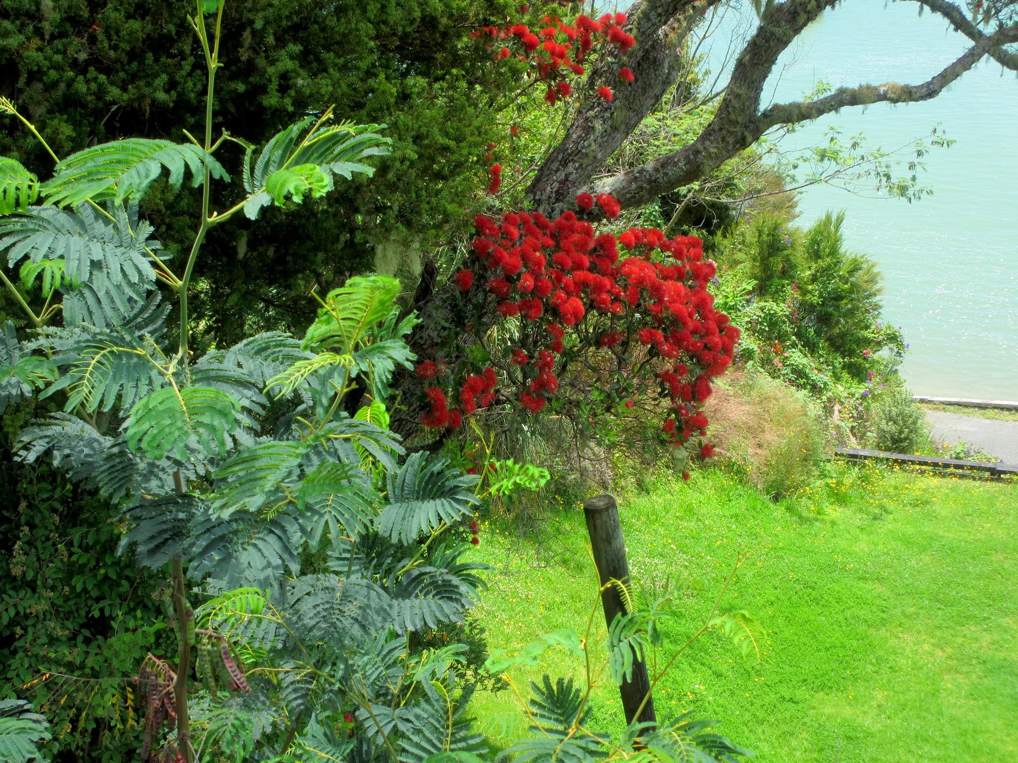
The hills are covered with trees, a mixture of tall pines, deciduous, and pohutukawa with scattered tropical and palm trees near the south end of the island.  At the base of these hills is thick grass, recently bright green but now turning more gold in the late summer.  This reminded me of the American Pacific Northwest, but it has that unique New Zealand mix of vegetation.  We weren’t there long when a pod of dolphin swam by.  We went from sniveling about leaving Opua to wondering what took us so long to get out here.  There is a profound feeling of peace and quiet here even as other boats came and went during the afternoon.

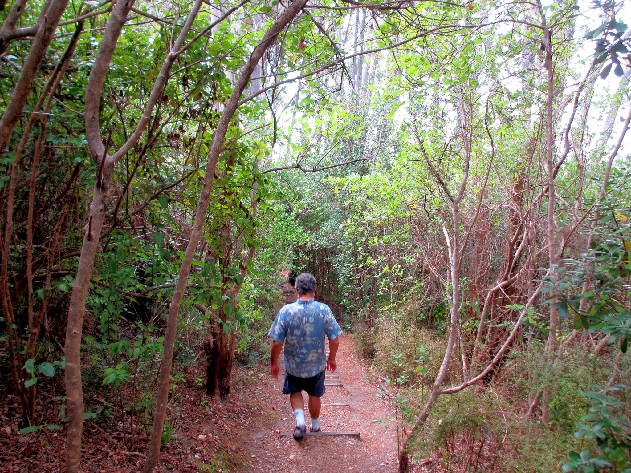
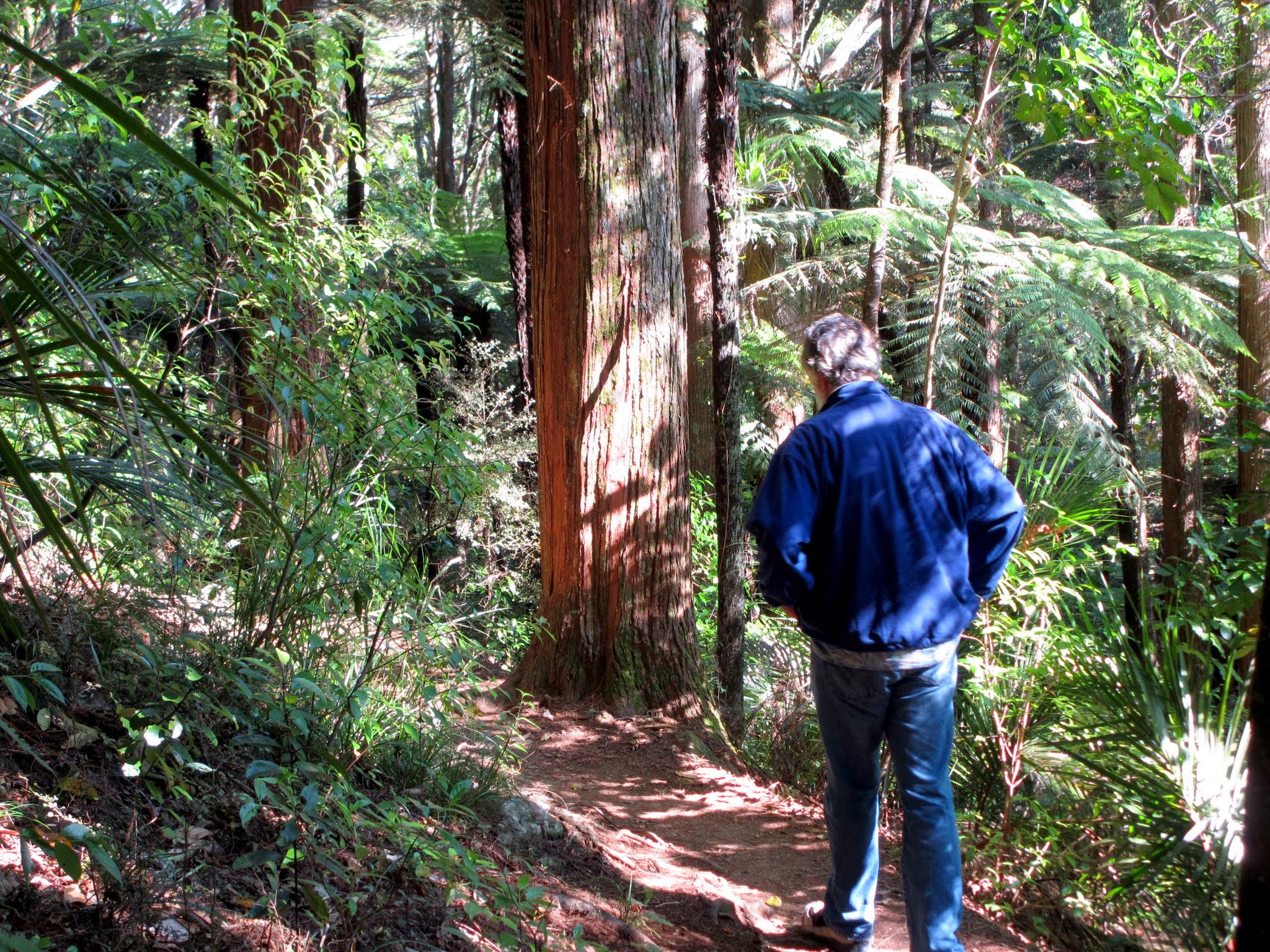
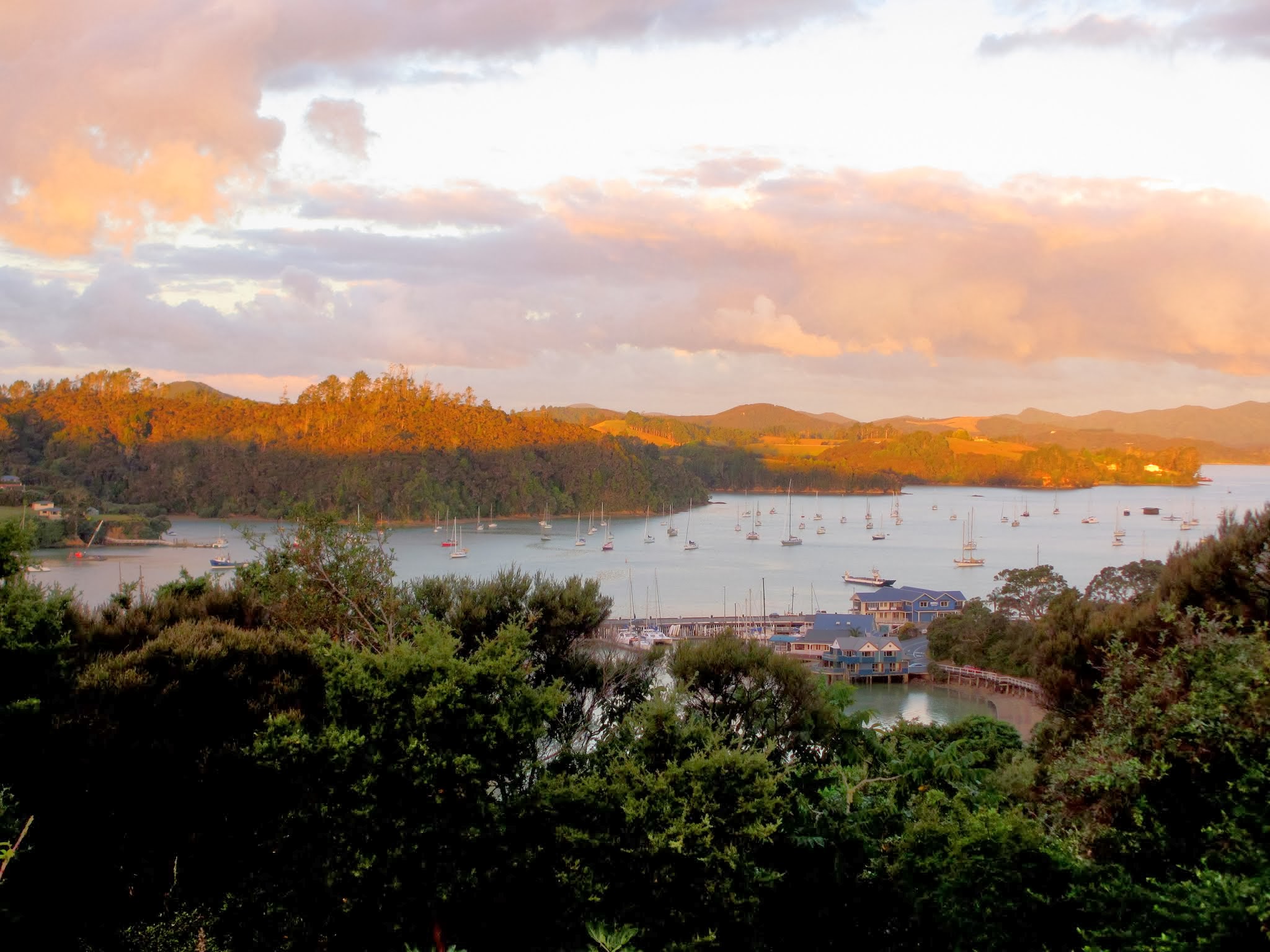
The first thing we did was go ashore to hike up to the lookout on the island’s highest peak. We started on a grassy hill then headed up a path amid tress, and near the top there were lots of stairs to climb.  It took about 30 minutes, and the view was well worth the effort. We had been in the area 3 months, but this was our first real look at the Bay of Islands.

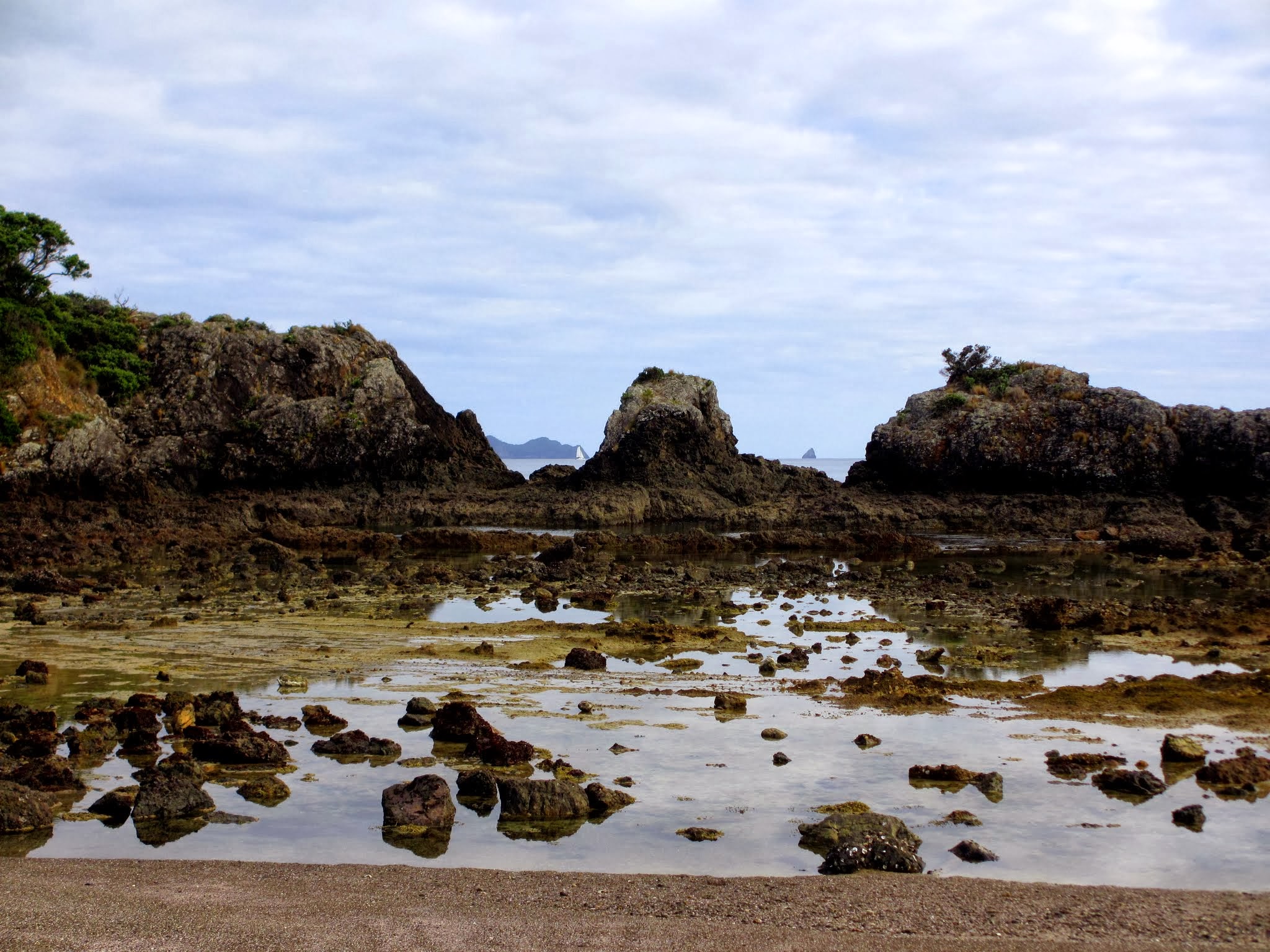
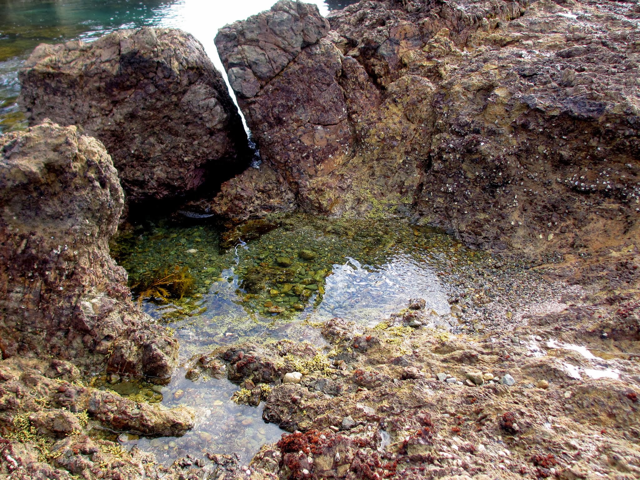
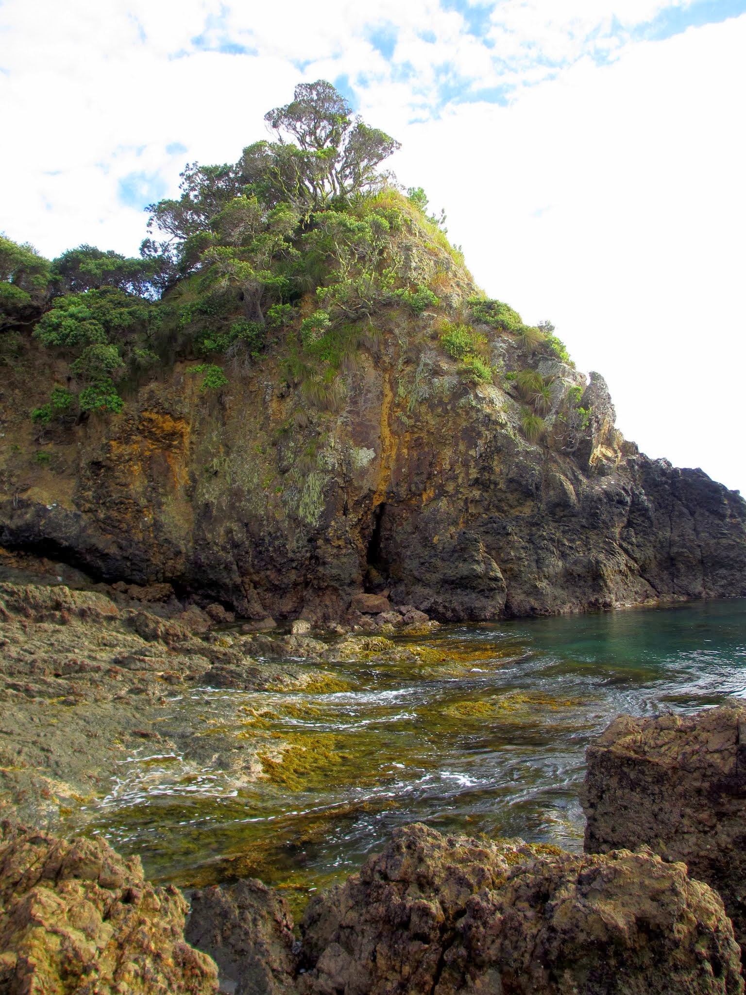
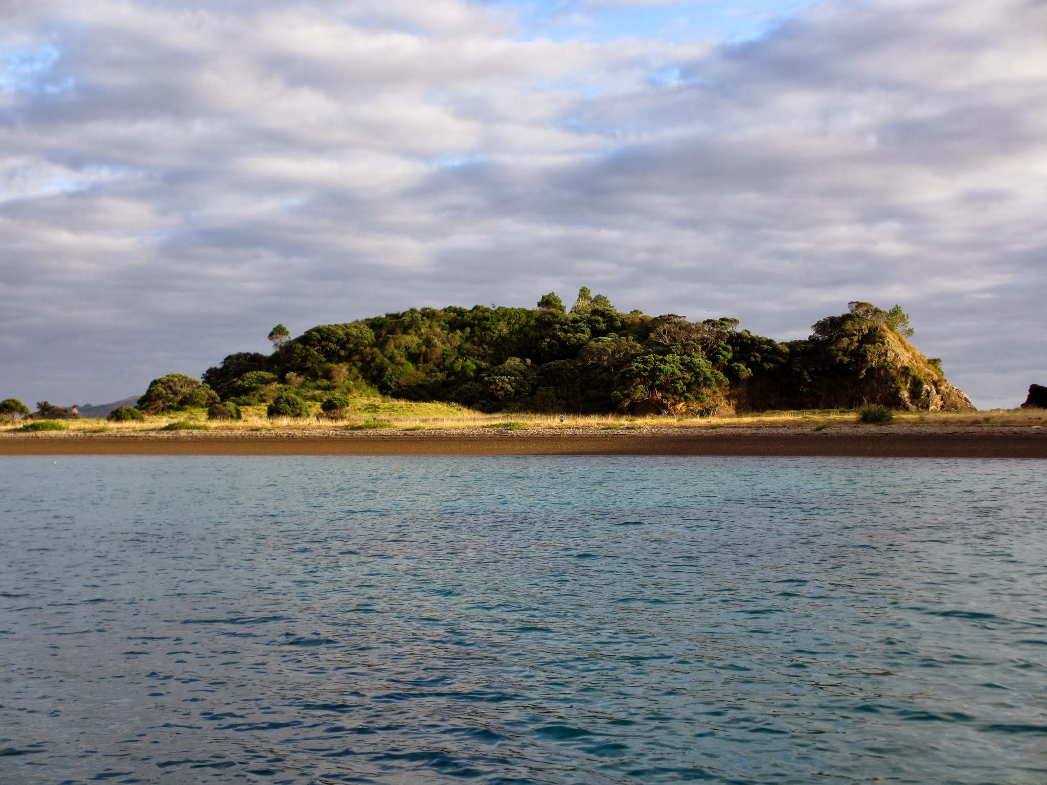
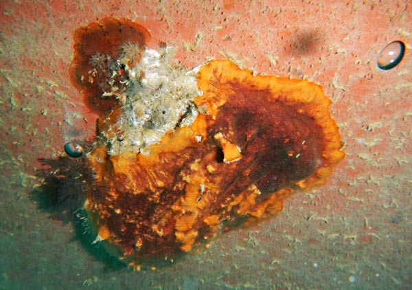
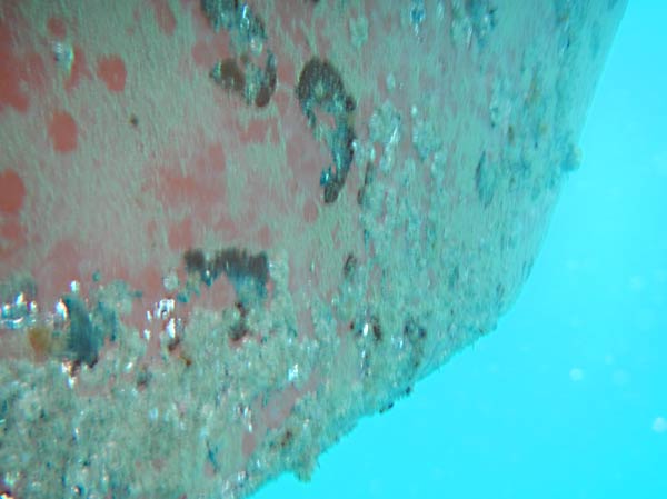
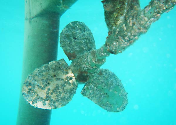
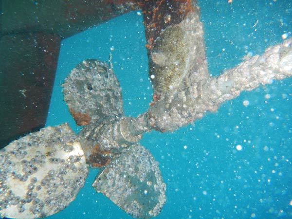
After our hike, we went to look for the natural pool that has an underwater snorkeling trail. It took us awhile to find it because we were looking for a body of water.  Come to find out, this dries out at low tide leaving only a few tide pools.  Oh well, we had other swimming planned this afternoon—we badly needed to clean the bottom of our boat. (Rich’s Reef).

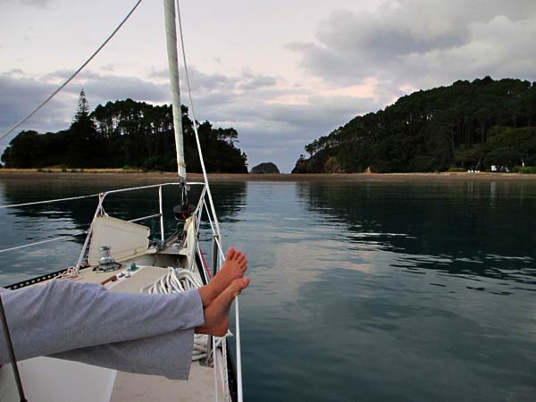
This was our first time in the water, and it was cool but not cold, and certainly warmer than the ocean off California.  The hard work of cleaning and scrubbing kept us warm.  We finished an hour later and now could just relax on the forward deck which had the best view of the island.  We know that Roberton isn’t the most popular of the Bay Islands, but I couldn’t imagine any of them could be nicer than this beautiful, enchanted place.

Here is a gallery of pictures from Roberton Island. As always, click to enlarge any picture. –Cyndi.

Don’t Feel Bad For Us (Roberton Island, Bay of Islands, New Zealand)

March 6, 2013

Yes, we cleaned the boat bottom today.  Yes, it was hard.  Yes, it was cold.  Yes, we’re tired.  But we are in a beautiful bay on Roberton Island, also called Motuarohia Island (easy for you to say).  It’s nice to be back out on the boat again – really nice! -Rich

The north end of the bay, where we are anchored.
Beautiful - as usual for New Zealand.
Beautiful – as usual for New Zealand.
You can see across the narrow isthmus to other islands.
Aaaah.
Aaaah.
Our neighbor sails back to his mooring.
And for the grand finale, a rainbow.  Thanks New Zealand!
And for the the evening’s grand finale, a rainbow. Thanks New Zealand!

Rich’s Reef (Bay of Islands, New Zealand)

March 6 2013

No, we didn’t dive the Titanic… this is our boat bottom after three months at a slip in Opua.  I think I’ll call it Rich’s Reef.  OK, it’s Cyndi’s reef too, but I liked the alliteration.

We left the marina today and could only motor at about 2000 rpm without overheating.  This was because the engine water intake was a mess (see picture below).  At 2000 rpm, we were only making about 3 knots when we should have been doing close to 5 knots.  This was because of all the growth on the bottom (see other picture below).

So our first day of “cruising the Bay of Islands” was spent at hard labor, cleaning the bottom.  And while the water isn’t freezing, it was cold enough that about an hour after getting out, I’m having a hard time typing this because my fingers are still shivering!

Our engine water intake.
The keel had lots of hard growth.
Barnacles on our prop.
Redundant picture, I know, but to me it looks like a shot of the Titanic's propeller.
Redundant picture, I know, but to me it looks like a shot of the Titanic’s propeller.

Good-Bye Opua (Northland, New Zealand)

December 6, 2012 – March 6, 2013

We have so loved this wonderful place, but it’s time to cut the cord and move on to new adventures.

Our next plan is to go north and cruise Whangaroa and the Cavalli Islands, then come back and cruise the Bay of Islands before we head south.  After we leave the Bay of Islands, we’ll make some stops along the coast before heading out to Great Barrier Island.  After a week there, we’ll head back to the Hauraki Gulf and its islands off Auckland, then the Coromandel Peninsula, Great Mercury Island, and finally Tauranga.

This is our plan, or more accurately our hope.  In New Zealand, everything is weather dependent, and you can’t just wander about and cruise whenever and wherever its convenient.  You have to keep an eye on the weather every day as winds can come from any direction and strong winds do come up.  Hopefully you’ll know about strong winds ahead of time and be in a protected anchorage.  You constantly have to adjust your itinerary around the weather, and either strong winds or contrary winds could slow us down, and we want to be in Tauranga by mid-April.

So, with our next adventure about to begin, we have a hodgepodge of pictures from our time in Opua and Northland.  We do plan to see this place again, but it may be a long time. –Cyndi  (As always, you can click to enlarge/scroll through photos below.)