The New Zealand Coast: Evening in Whangaruru

March 25 and 26, 2013

Ahhh, another evening at anchor in a peaceful bay.  This gallery actually covers our first evening and our unplanned second evening.  When we’re cruising (or for that matter doing any sort of travel), we need three things to make the best our location: time, decent weather, and energy.  If we’re lucky, they all coincide, but sometimes one of the three is lacking and our plans go askew.

In this case, we had the time and perfect weather, but we were exhausted after days of daily anchorage changes and some pretty extensive hiking.  We opted to stay put in Puriri Bay one more day, then head to nearby Mimiwhangata Bay the following day.

The problem came that morning when the weather forecast showed our window for the 65-mile trip to Great Barrier Island was about to close.  We needed to leave right then for Great Barrier Island and thus skip Mimiwhangata.  (We did just that, but we got a second opportunity to go to Mimiwhangata in December 2013 and have a few posts about it then.) -Cyndi

evening-6

evening-5

evening-4

evening-3

evening-2

evening-1

The New Zealand Coast: Whangaruru Harbour and the Walk to Bland Bay

March 25, 2013

Our walk to Bland Bay was both longer and hillier than we expected, but it was pretty as the tree-lined road passed by some lovely bays.  After trudging up the final hill, we were rewarded with a great view of the isthmus between Bland Bay and Tuparehuia Bay.

After strolling down the hill amid peacefully grazing cows and pukekos (the big blue birds here), we headed over to the beach at Bland Bay.  It was surprisingly nice, a long stretch of white sand in a bay partly enclosed by a string of rock islands stretching out from the headland.

It was actually quite beautiful, but in a remote and otherworldly sort of way that felt strangely lonely.  I can’t put my finger on why any given place can feel this way, but I think there could be 20 boats in here and it would still feel the same.  In spite of this, we liked this bay quite a lot and could see anchoring here at some future time.

The pictures in the gallery show both Bland Bay and some of the bays on our walk there. Click any picture to enlarge, the right side to scroll though the pictures, and the lower right X to return to the regular gallery. –Cyndi

The New Zealand Coast: Whangaruru Harbour and Puriri Bay

March 25, 2013

After considering the pretty-but-shallow Admirals Bay, we headed to the bay beyond it: Puriri Bay.  The drawback to Puriri Bay is that it has a campsite that can get crowded in the summer.  Luckily it was so late in the season hardly anyone was there.  In fact, we were the only boat anchored in the bay.

We had a nice afternoon in this bay, including a long walk on shore and a very comfortable night.  We had planned to head on to another anchorage the next morning, but we needed a break from our bay-a-day pace and decided to stay put for one more day. –Cyndi

Our Puriri Bay anchorage. (New Zealand)
Our Puriri Bay anchorage. (New Zealand) (Click to enlarge.)
A view of Puriri Bay from above.
This area is a mixture of tree-covered hills and grassy slopes.
A pohutukawa tree on the beach.
The campground in Puriri Bay. It's probably wall-to-wall campers during the summer holiday, but it was pretty empty in March.
The campground in Puriri Bay. It’s probably wall-to-wall campers during the summer holiday, but it was pretty empty in March.
A full moon above Puriri Bay late in the afternoon.

The New Zealand Coast: Our Route to Whangaruru Harbour

March 25, 2013

route-map

This map covers an area about 16 miles in length and shows where we’d recently been and where we were headed.  We’ve added red dots to show our Bay of Islands and coastal anchorages.  We were headed where the arrow is pointing, approximately where the tent icon is.

The area on the left of the map shows a large portion of the Bay of Islands area.  At the tippy-top is Cape Brett and Piercy Island with it’s “hole in the rock.” Heading down the other side you can see Whangamumu, the old whaling station we’d just visited.

Our next destination was Whangaruru Harbor, specifically Puriri Bay.  As you can see, Whangaruru Harbor is well protected. It’s also a popular camping area, with roads and a small town on the mainland side.  Its lack of remoteness is probably the reason it’s less popular with cruisers, who think of this more as a convenient stopping point than a destination.  While I wouldn’t list it among our very favorite anchorages, it’s a nice area.

Why not go to Bland Bay?  It’s possible if the conditions are very calm, but otherwise it’s too open to the ocean swells and would be an uncomfortable anchorage even in light winds. It’s better to anchor in the harbor and then walk up see Bland Bay.

We snapped a few pictures of the mainland area to the west as we made our way into Whangaruru Harbour.  The mountains, grassy foothills, and patches of pine forest were dramatically lit under a cloudy sky.  Very pretty, but our destination was up behind the arm of the peninsula that enclosed this harbor. –Cyndi

Dramatic lighting under a cloudy sky as we made our way into Whangaruru Harbour. (New Zealand)
One of the camping areas along the mainland of Whangaruru harbour. (New Zealand)
The town in Oakura Bay, near the entrance to the harbor, sits beneath a mountainous background. (New Zealand)
Vacation homes line Ohawini Bay along the mainland side of Wangaruru Harbour. (New Zealand)
A couple of boats anchored off the mainland shore. (New Zealand)

The New Zealand Coast: A Day at Whangamumu Harbour (New Zealand)

March 24, 2013

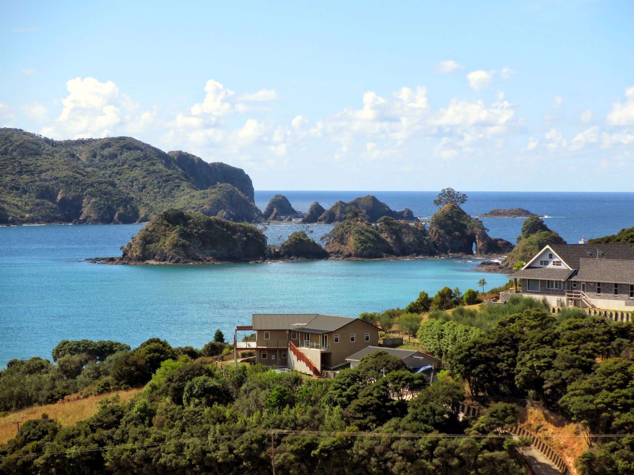
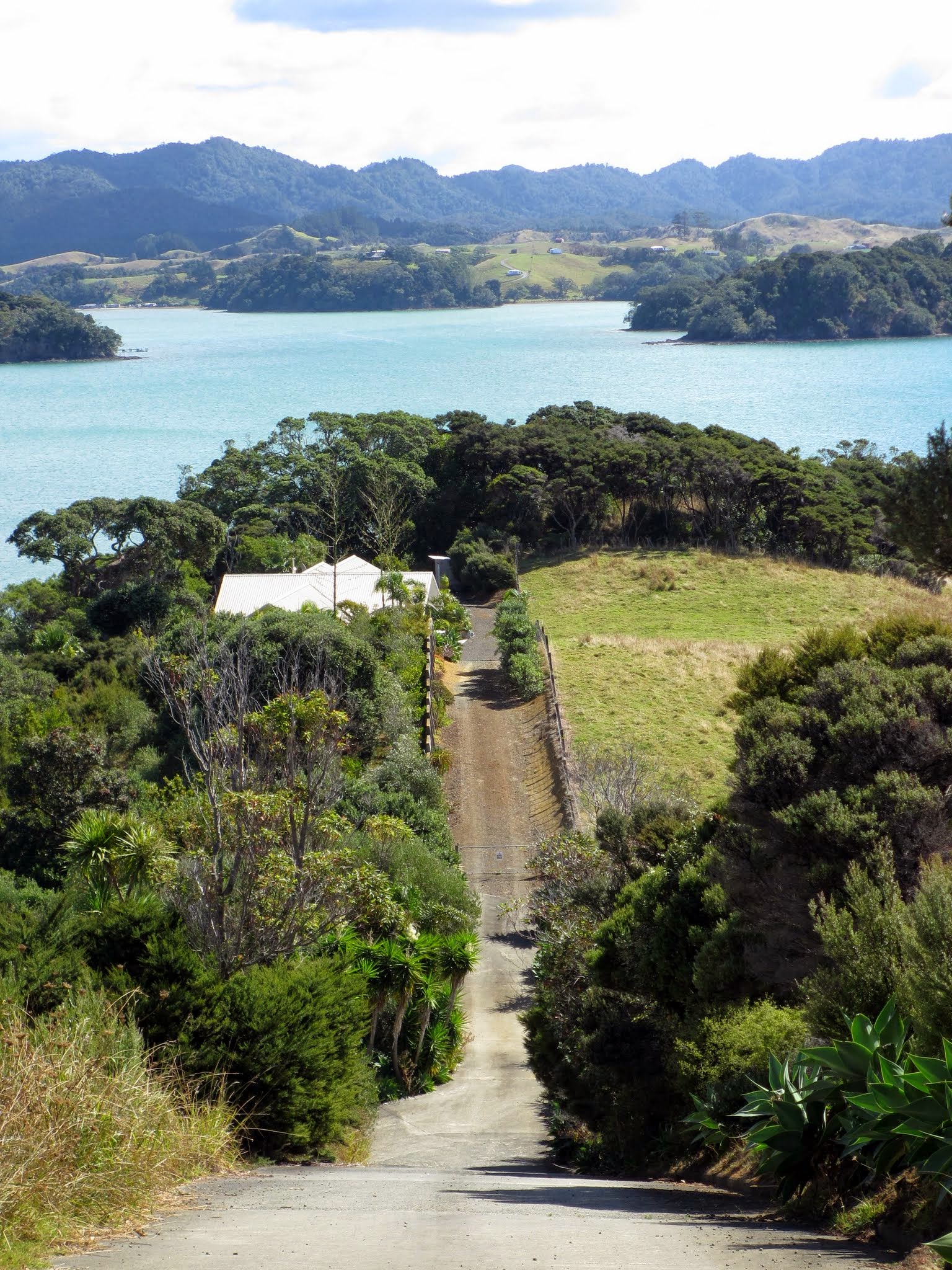
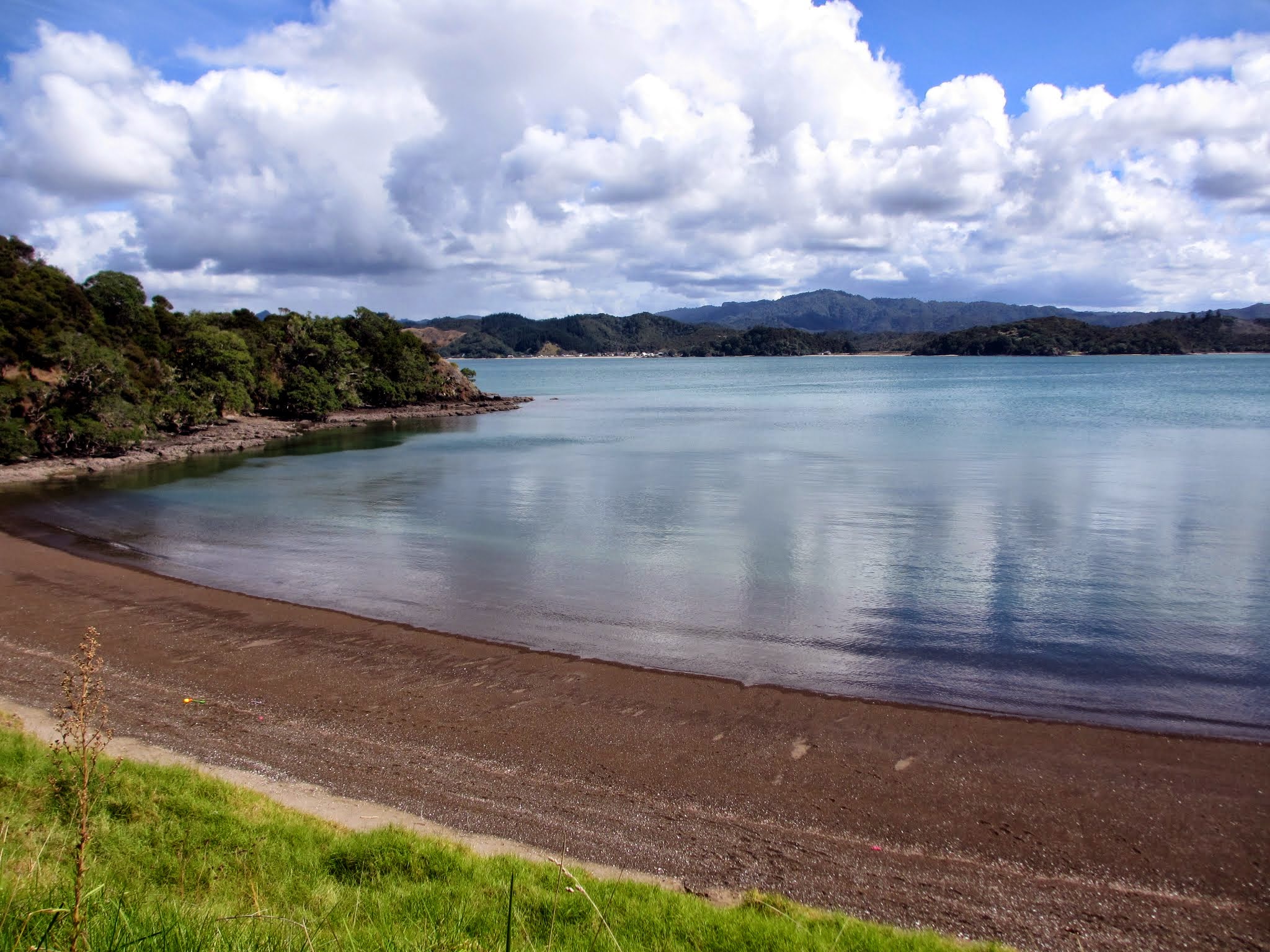
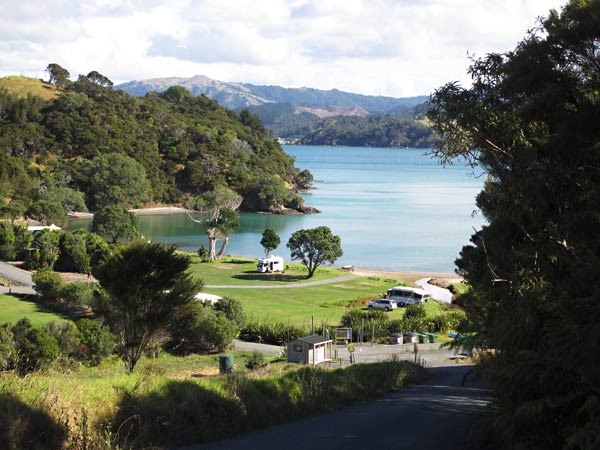
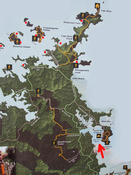
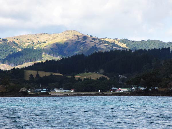
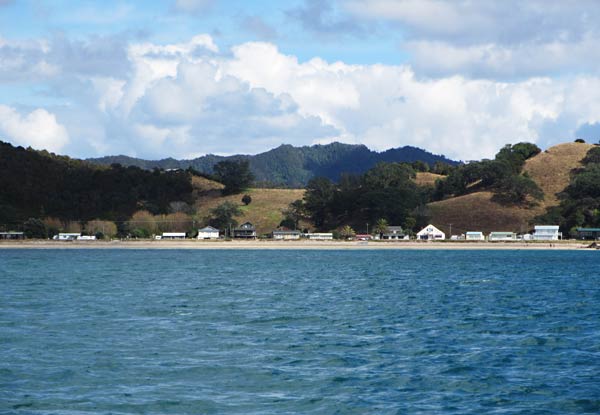
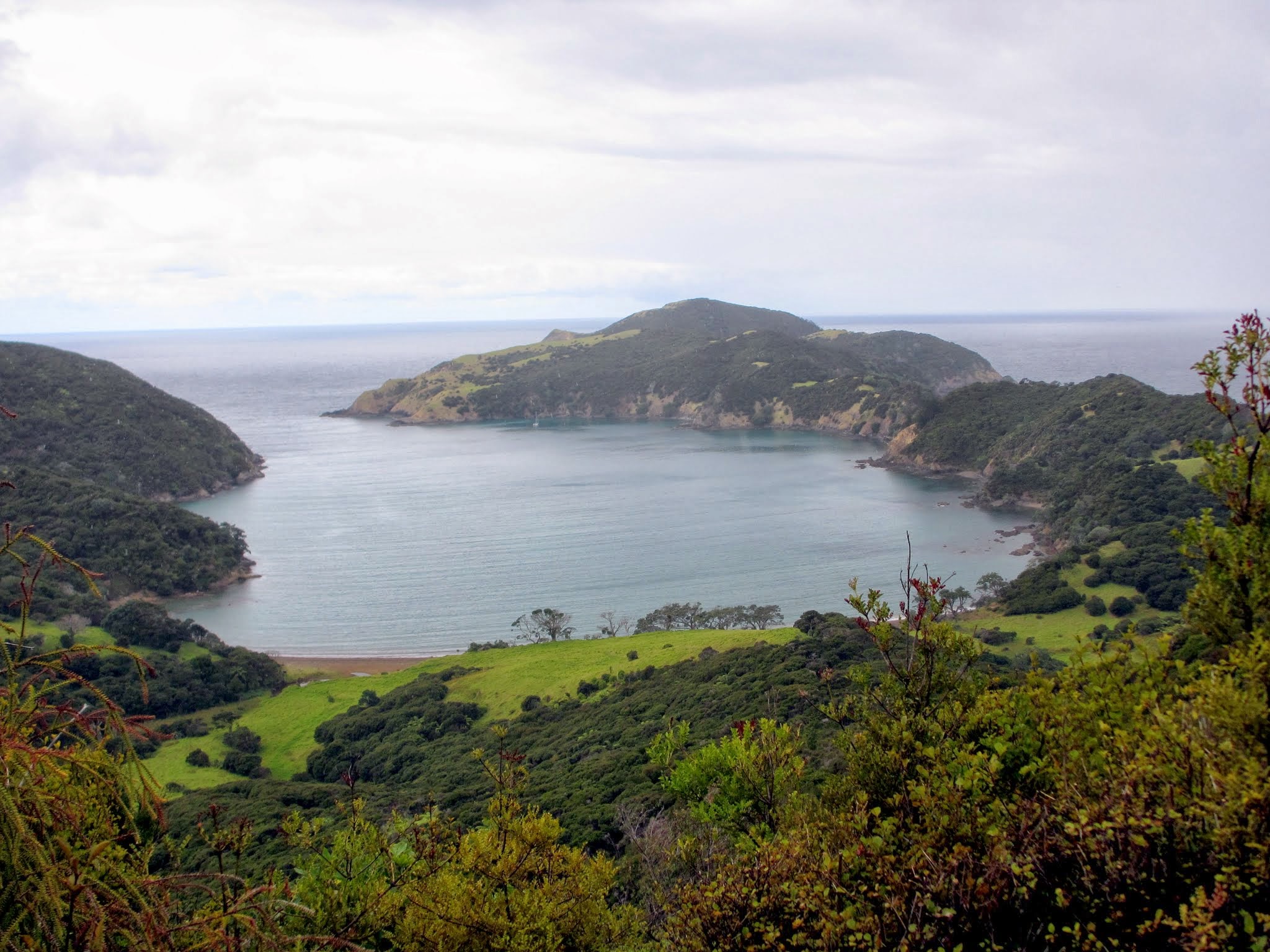
After rounding Cape Brett and heading south, it was only another hour to Whangamumu, a deep harbor with a well-sheltered inner harbour.  There’s no road access to this area, so you either have to hike in (a long hike) or come here by boat.  It’s both beautiful and remote which makes it a big cruiser favorite.

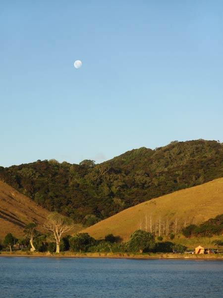
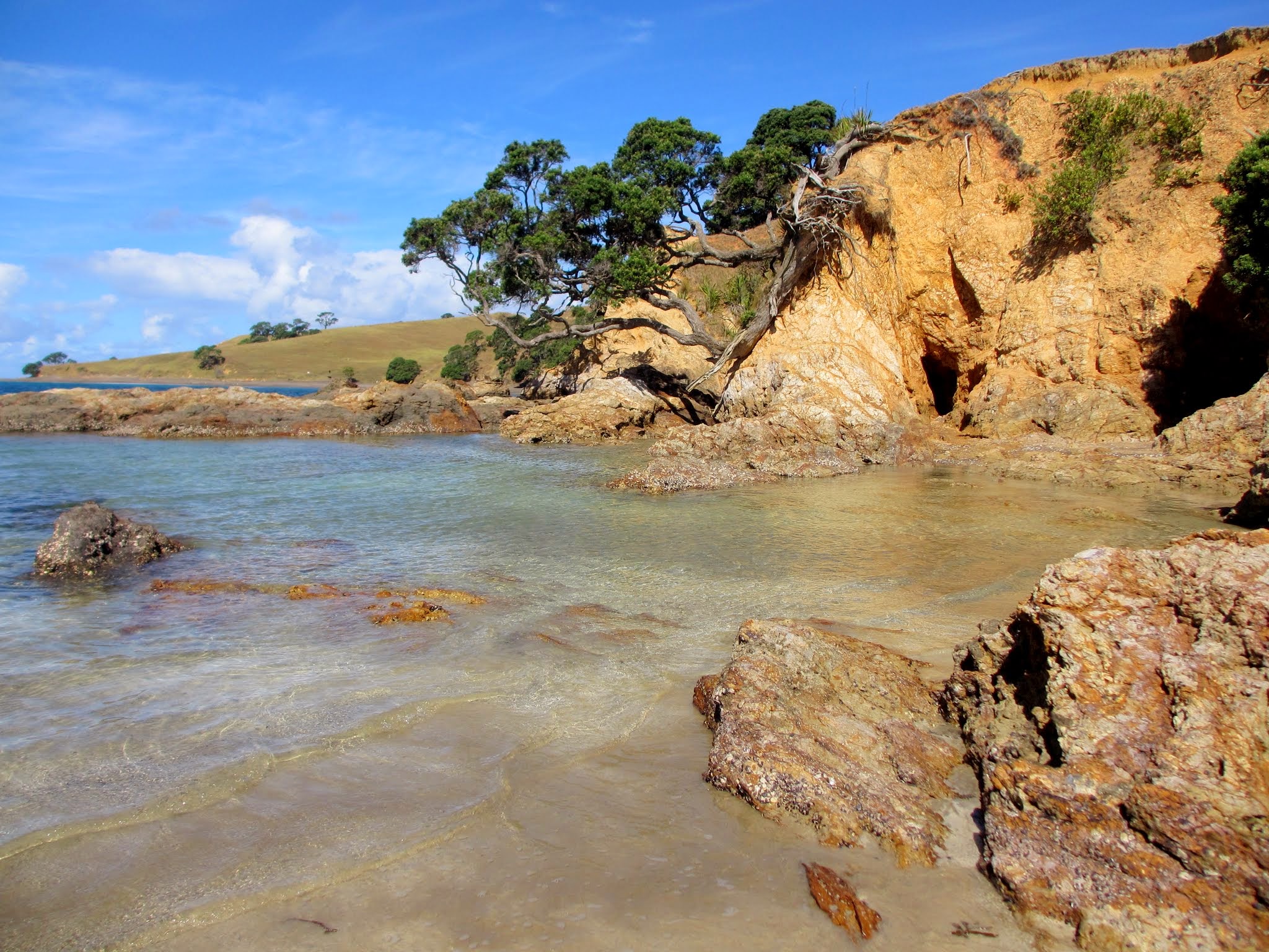
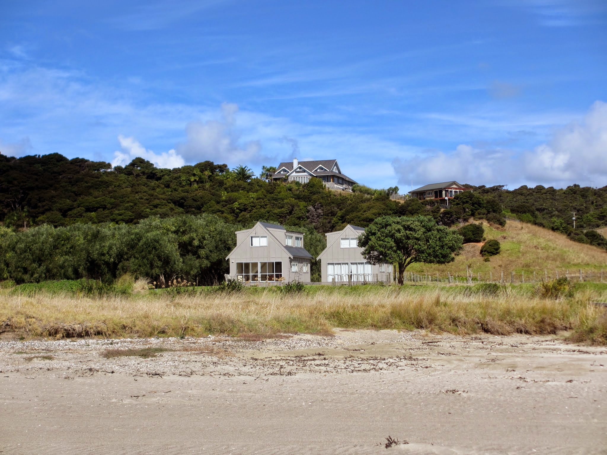
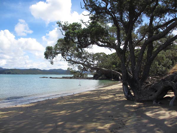
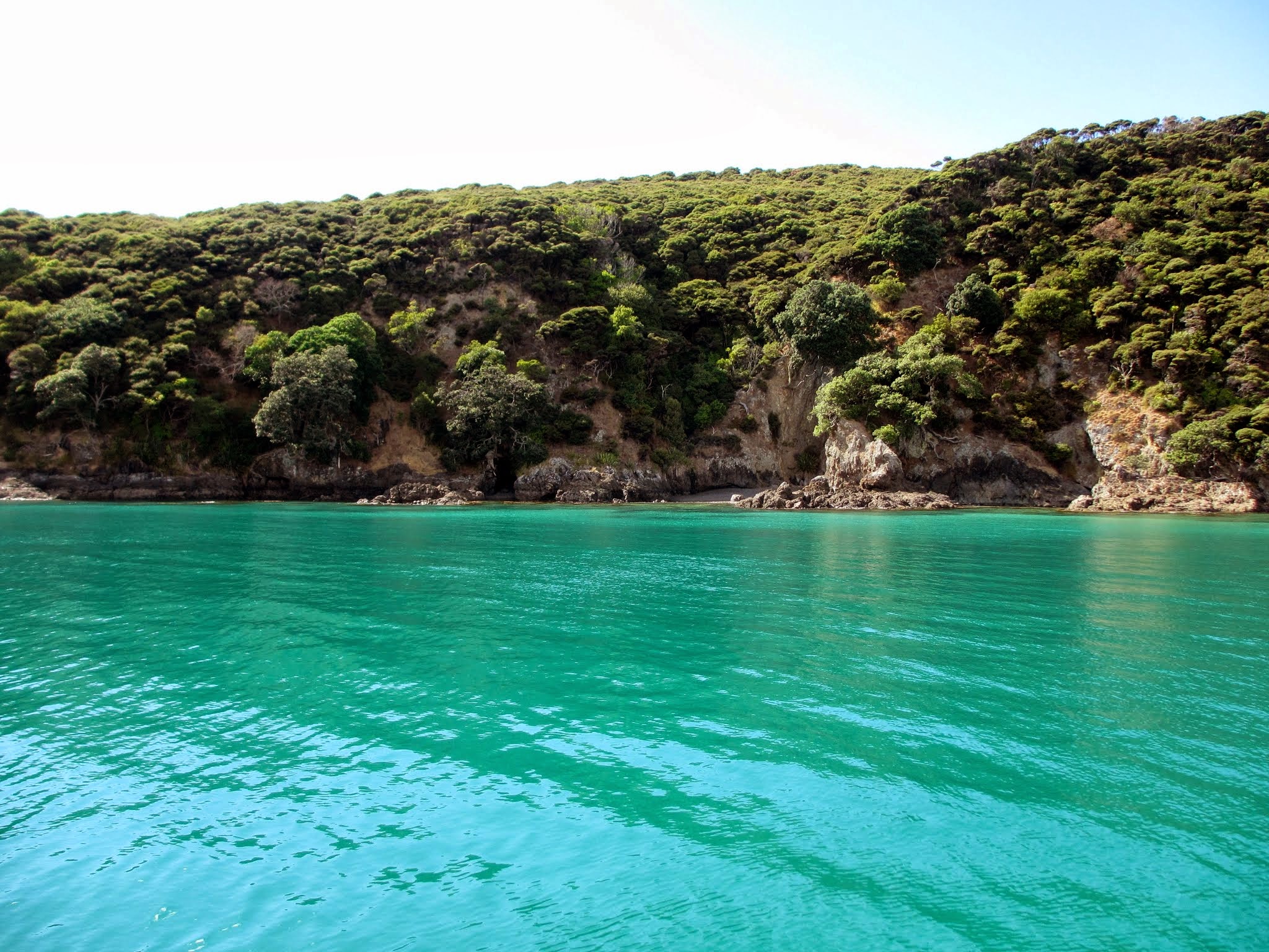
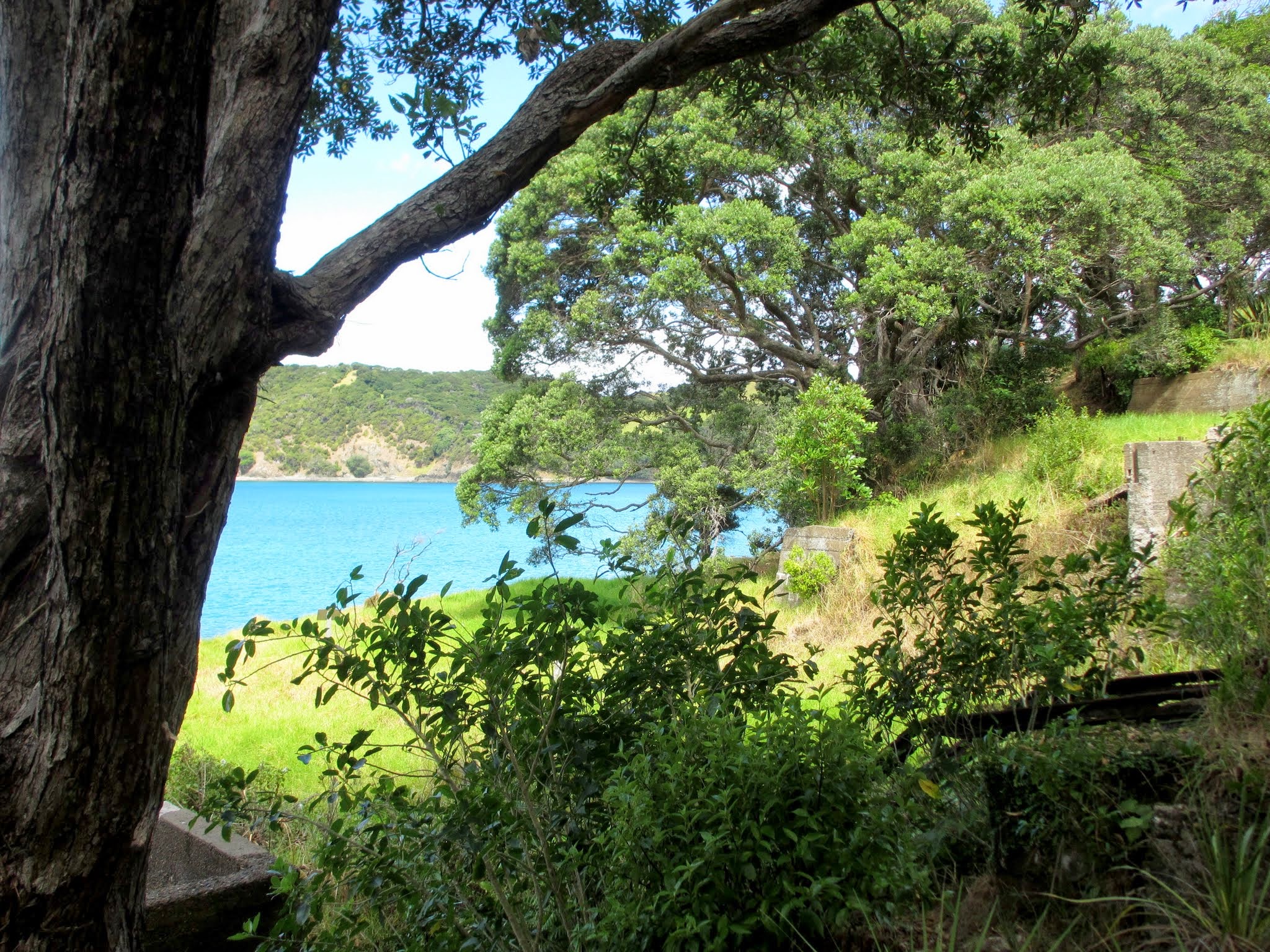
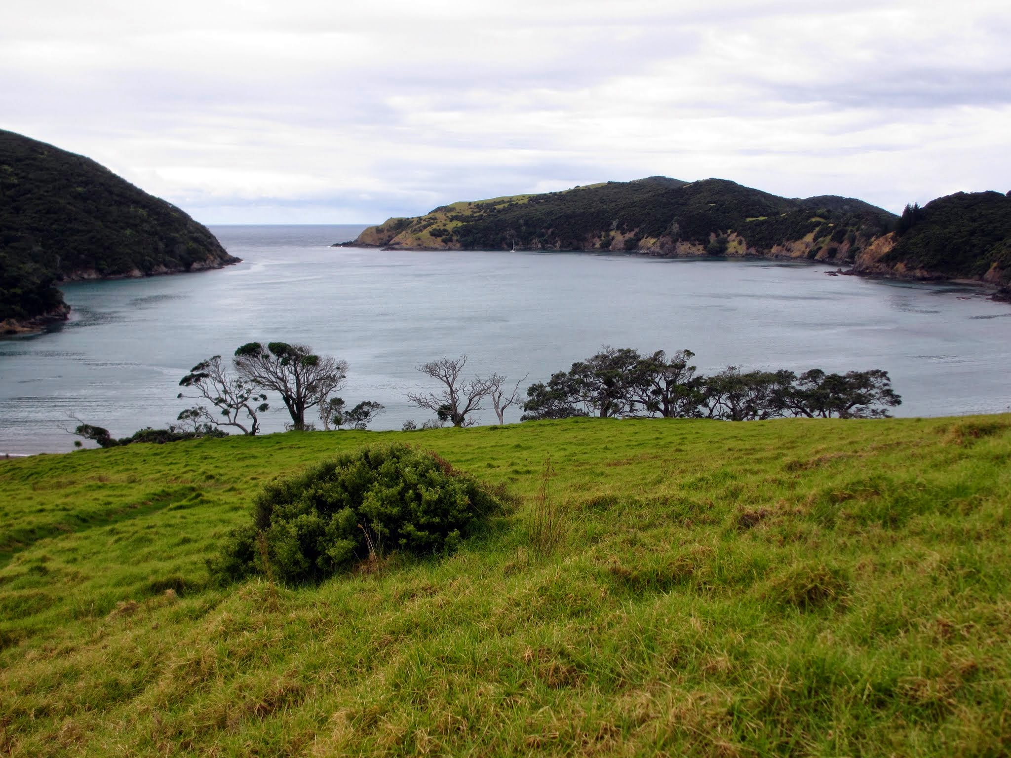
We motored in and had our choice of spots to anchor.  We chose a little bight on the south side as it was best for the prevailing wind conditions.  This actually didn’t look too different from where we’d been the previous day (Deep Water Cove).  The water around our boat was a lovely green, and we were surrounded by grass and native-bush covered hills.

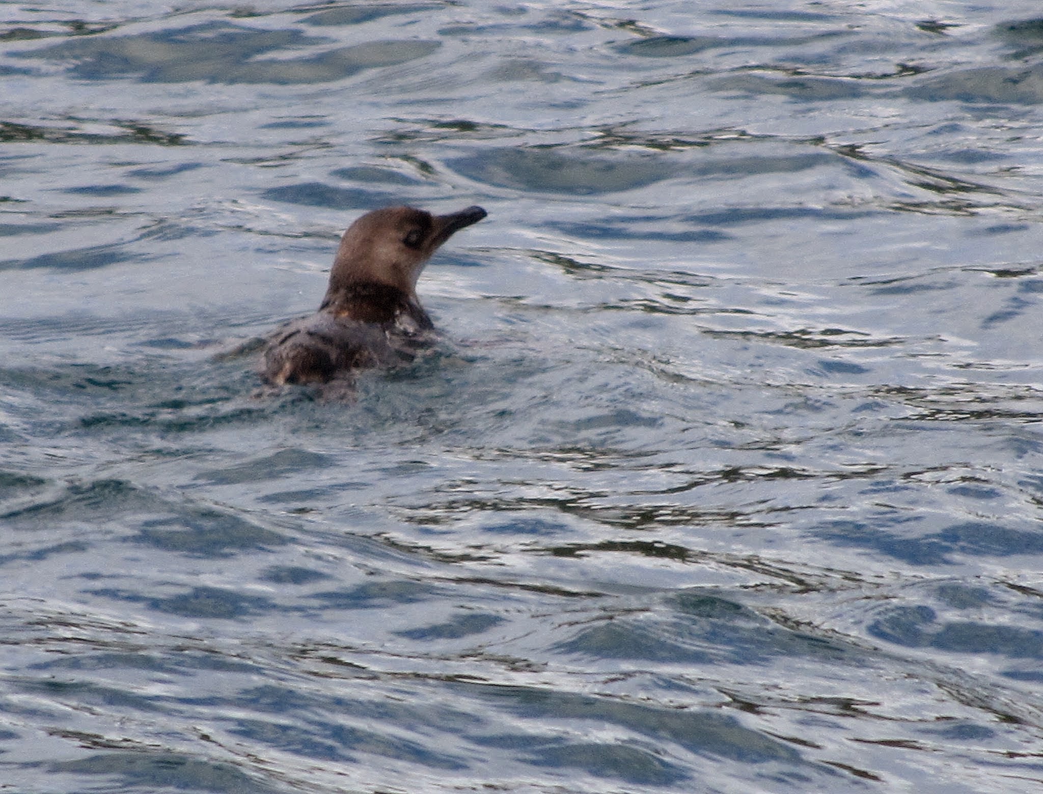
After a lunch of freshly-caught fish, we headed ashore in the dinghy.  We’d heard about the little blue penguins that swim in the waters off New Zealand, and I was very excited to spot one!  I had not told Rich about the penguins because I was still trying to downplay the fact that it can get cold in New Zealand.  Our cruising season is in New Zealand’s summer and it’s quite warm; so it’s easy to pretend it’s this warm all the time.  But penguins are not warm-weather birds, and sure enough, when I told Rich that bird was a penguin, he had a fit of “cold paranoia,” and wrote a blog post that very night: Legacy Cited for Violation of Rule #37.

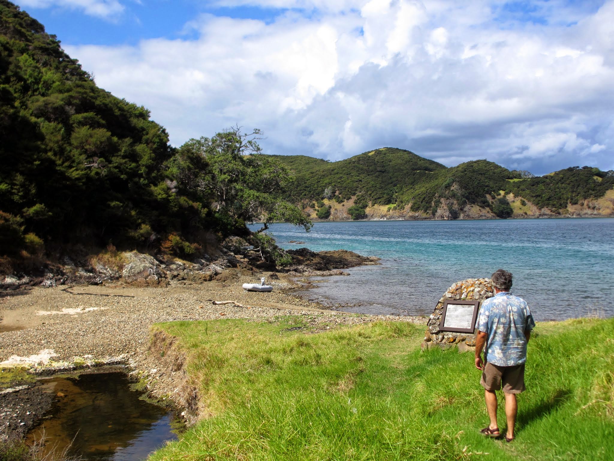
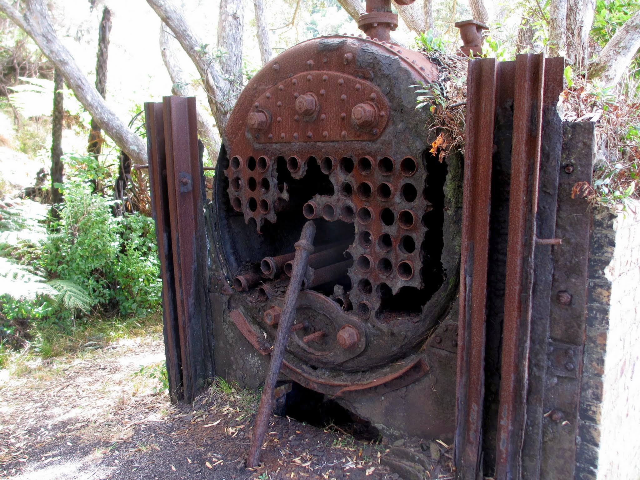
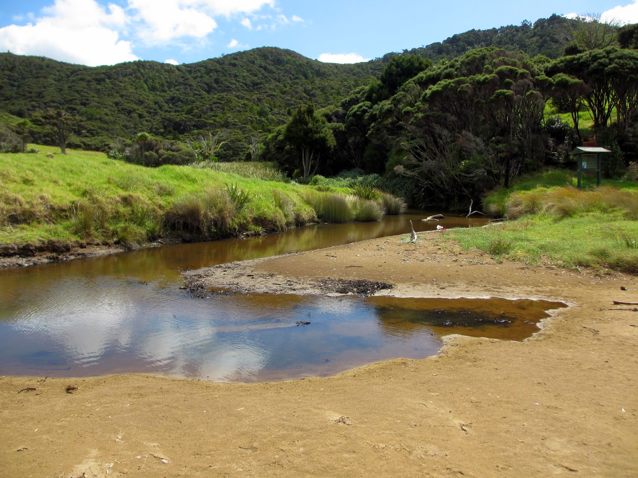
We headed first towards the ruins of an old whaling station that this bay is most famous for.  Reading the plaques depicting the process, then walking past the harpoon gun and old cement foundations made us feel depressed and angry.  We realize that whale oil was a necessity back then, but it still pains us greatly to think about what went on.  The settling is so lovely, yet this is such a sad monument.  After locating the small pool and waterfall behind the station, we were then glad to leave and head for a beach at the head of the harbor.

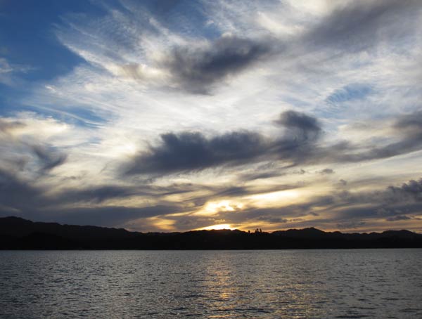
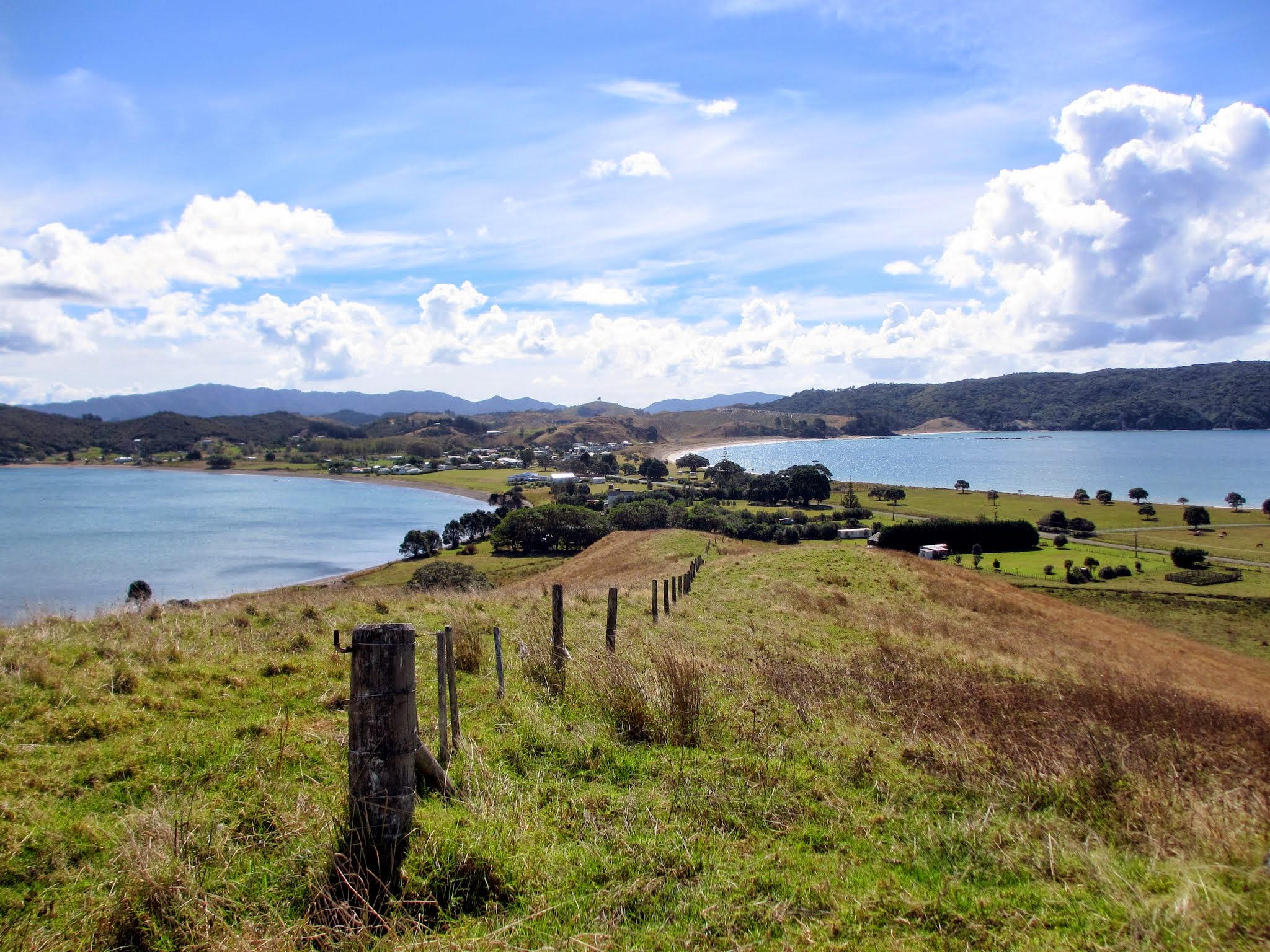
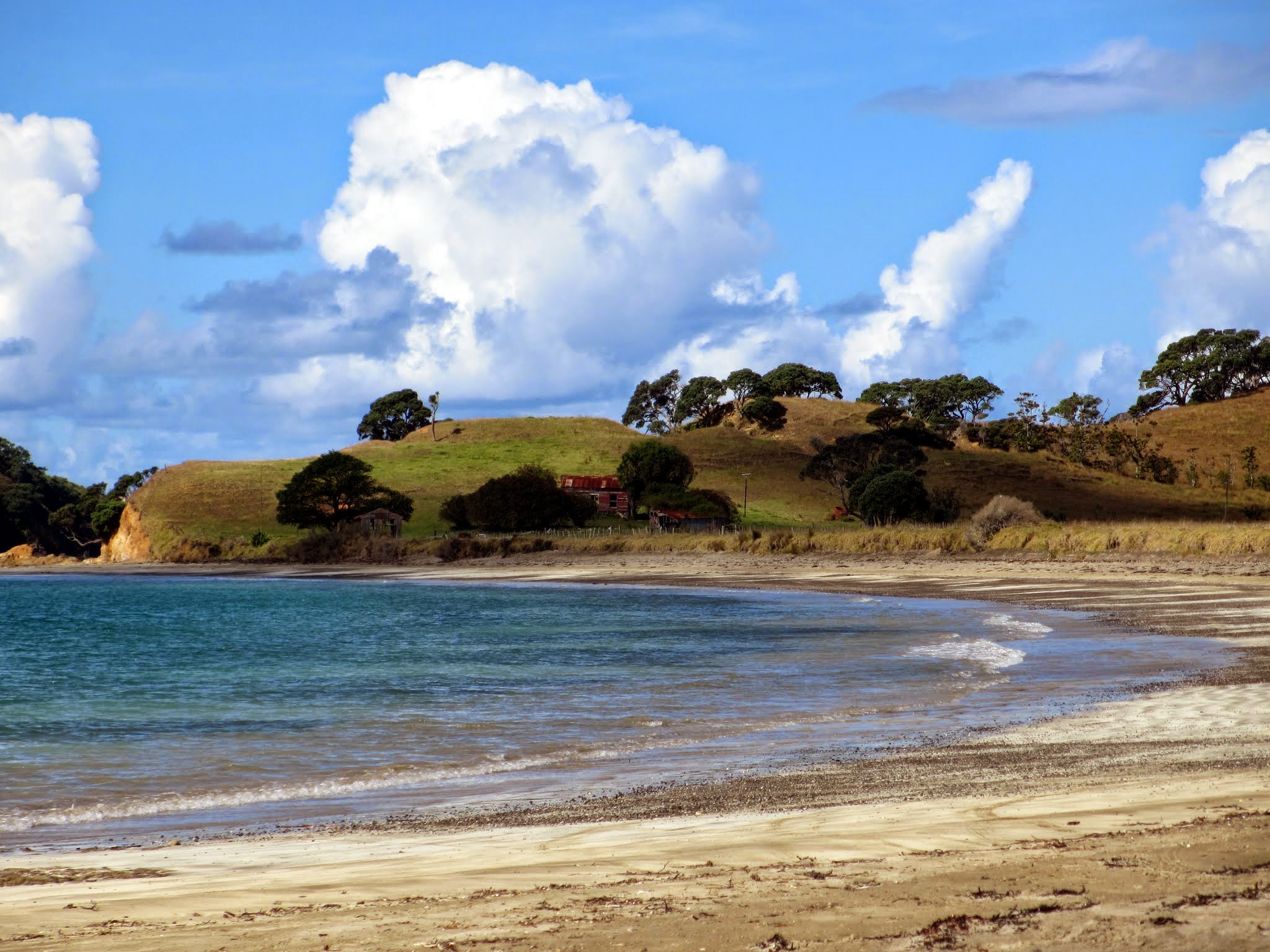
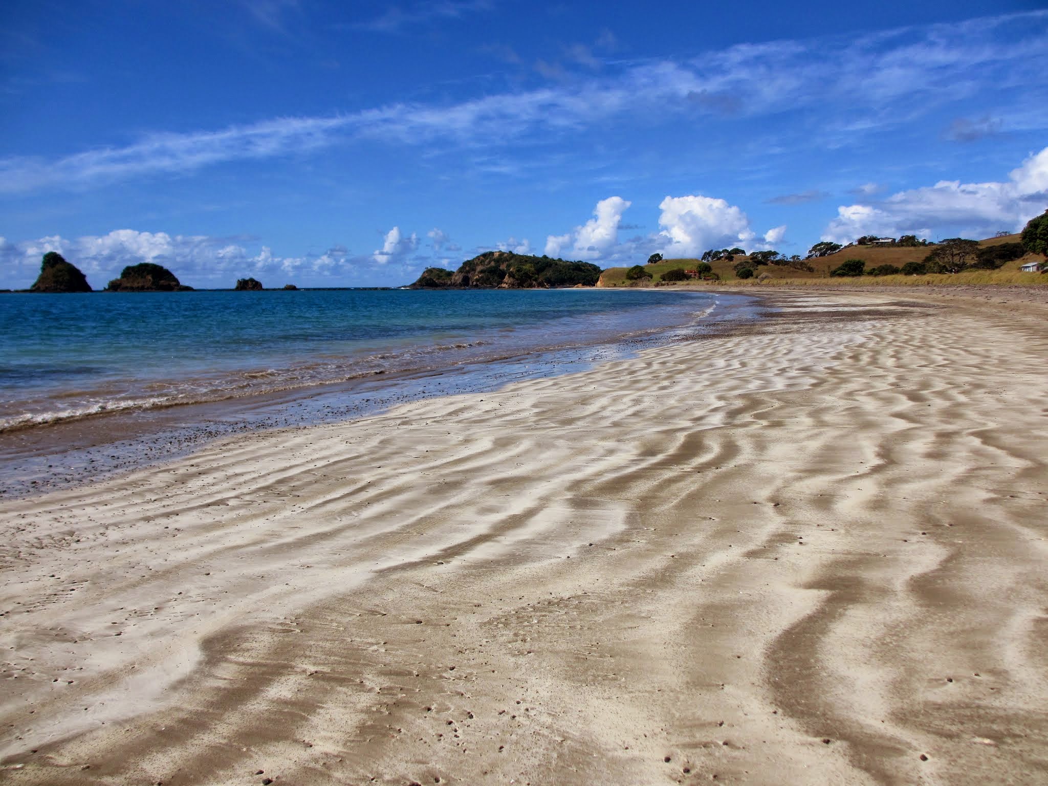
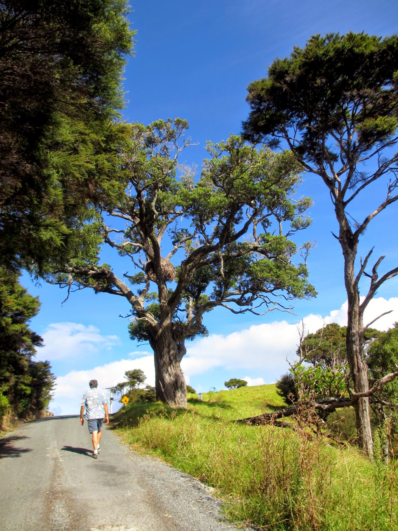
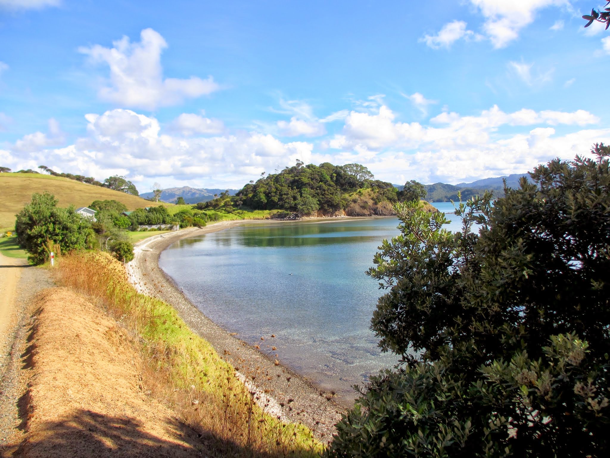
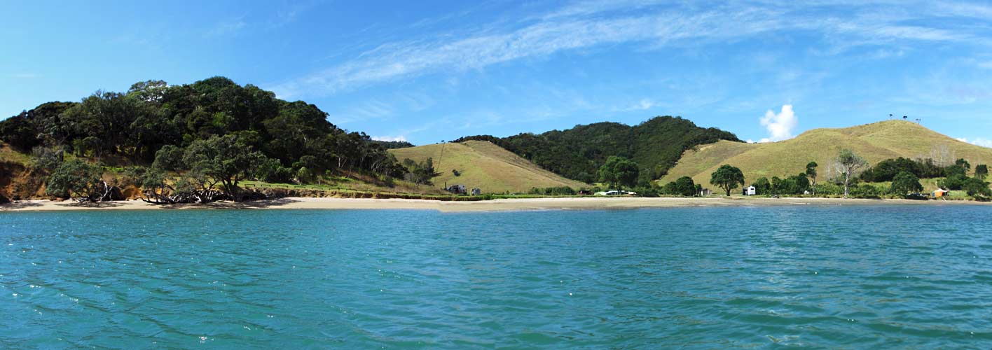
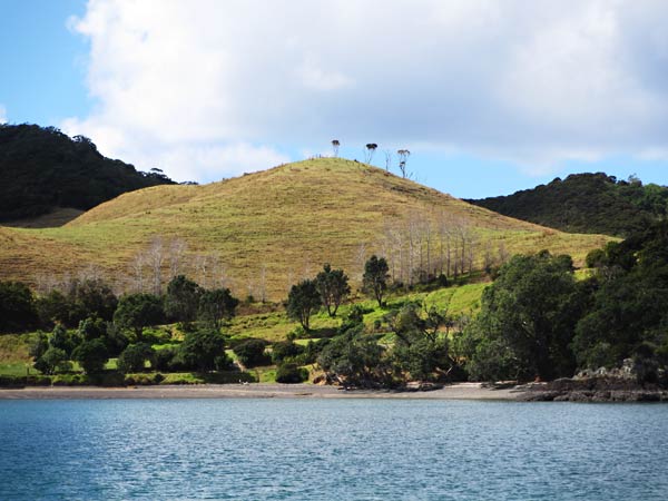
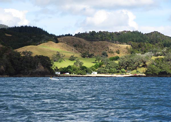
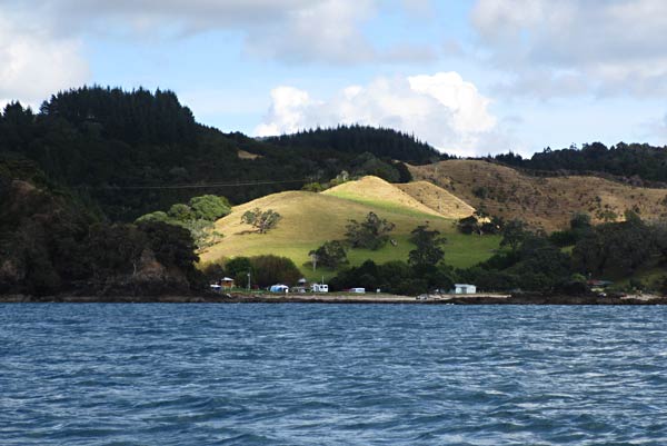
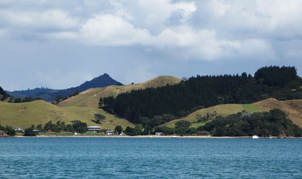
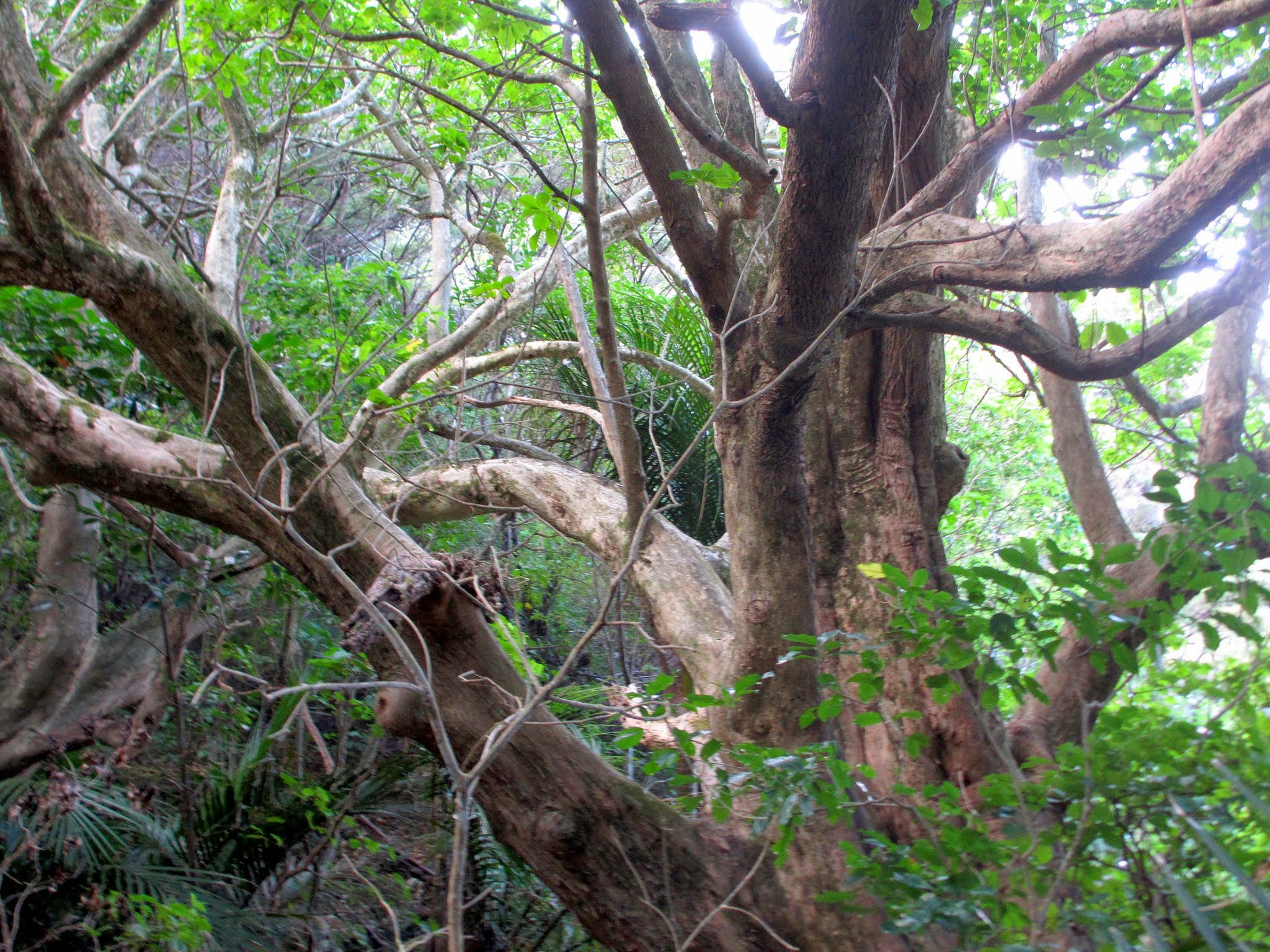
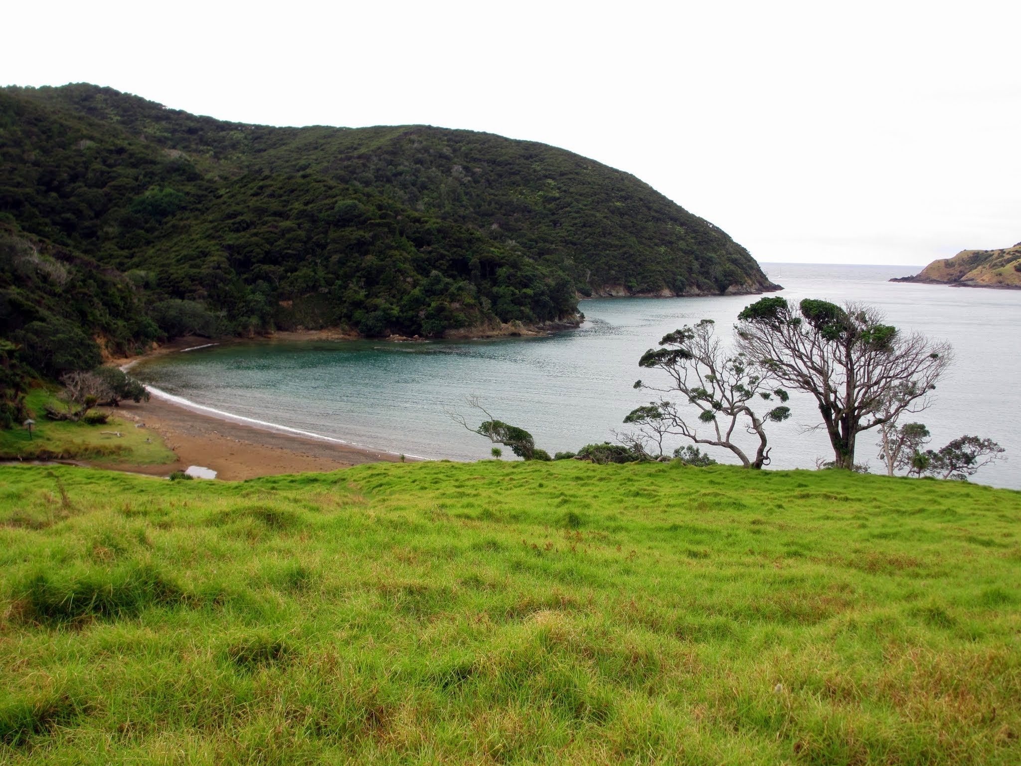
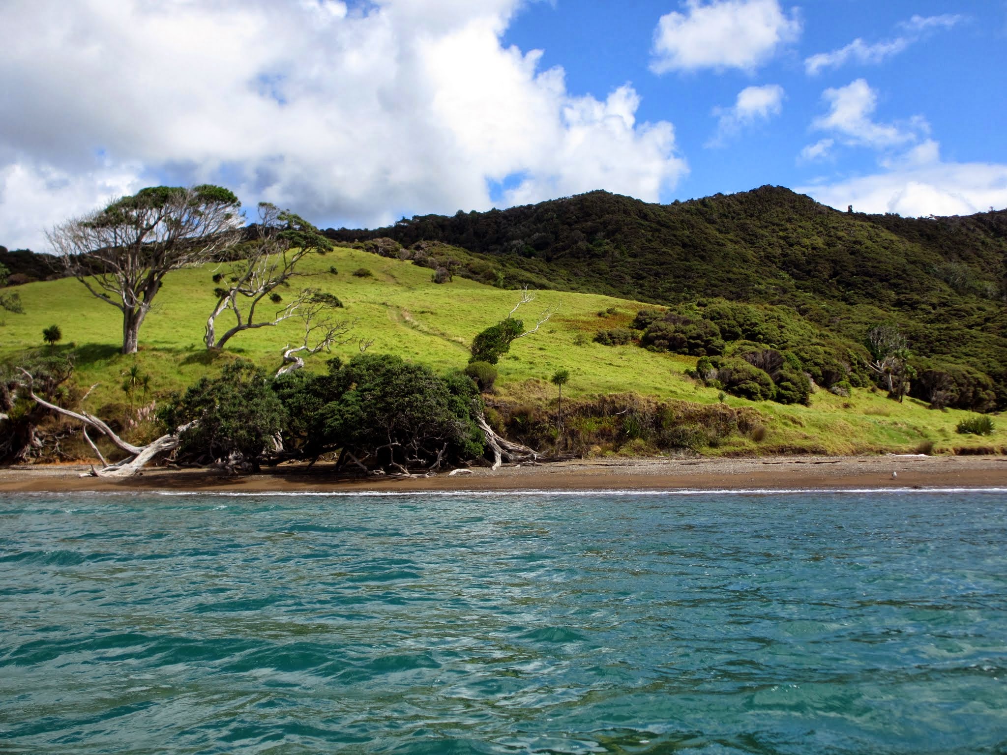
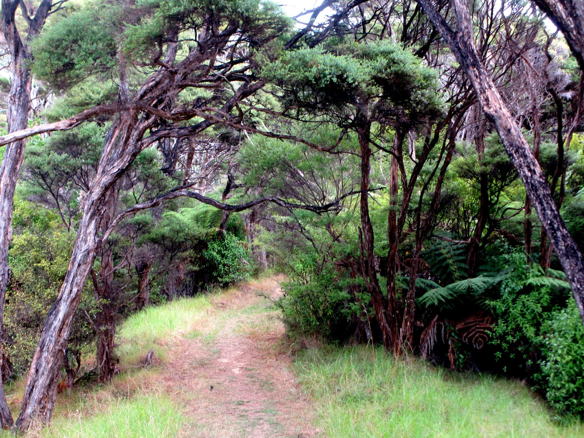
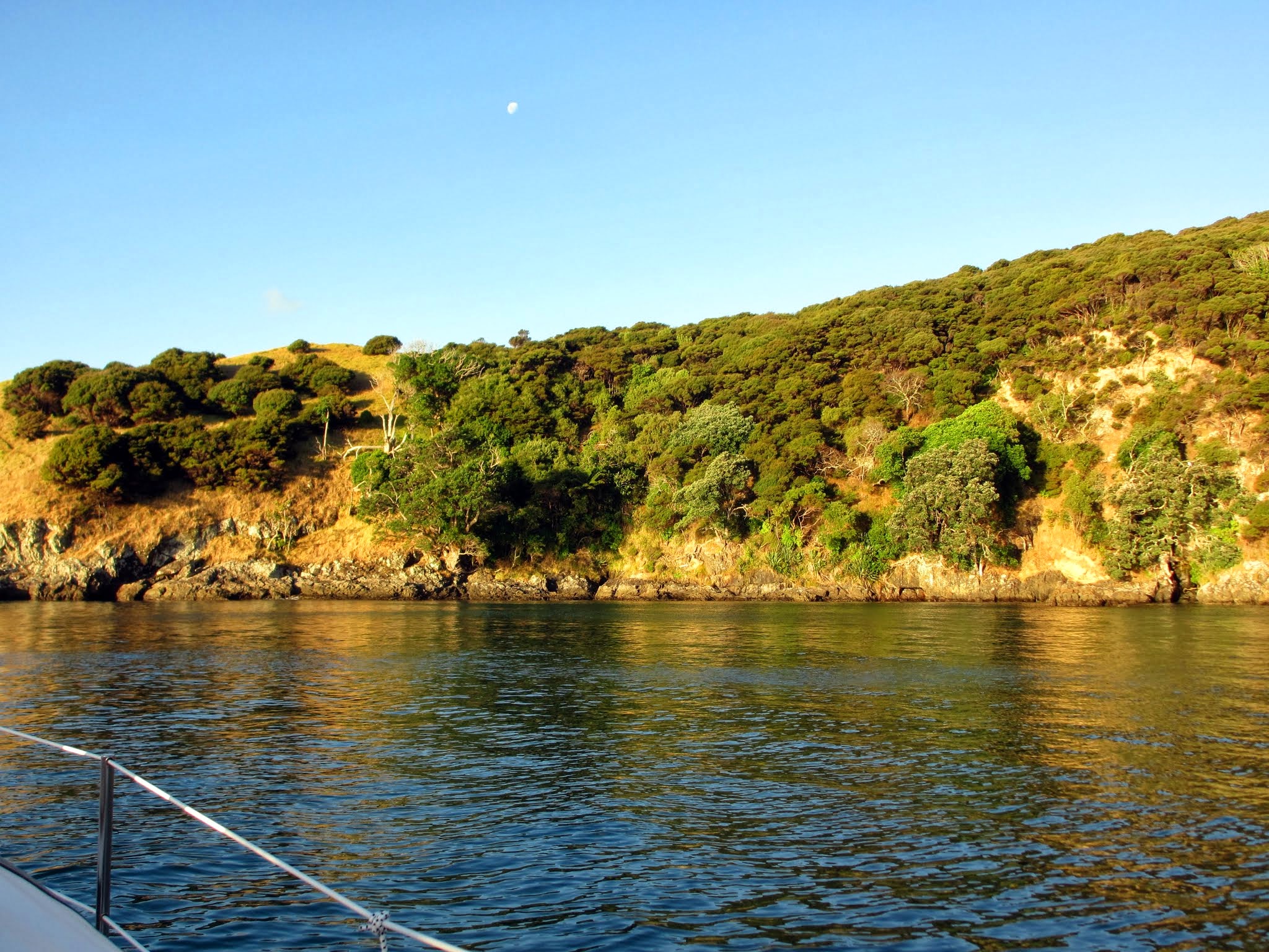
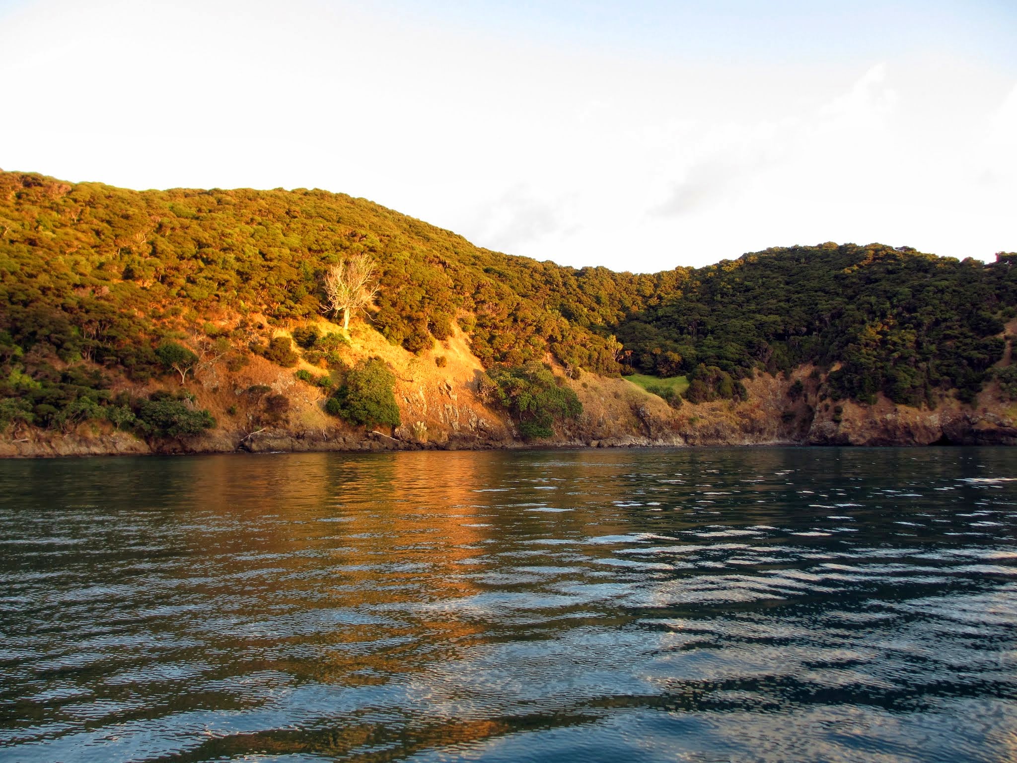
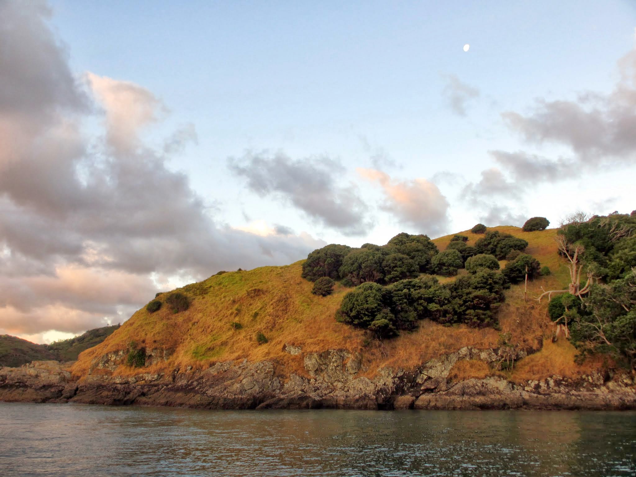
We motored over to a long area of beach backed by a large grassy hill.  The cloudy sky made the water appear powdery blue, which was striking against the brown sand beach. There was a trail going up the hill, and we hiked up to the top.  Once there, we had terrific views of the bay before the trail led into the forest.  We continued on and were delighted to have little fan birds flitting all around us.  It started to rain, but it was gentle and the sound went perfectly with the forest scenery.

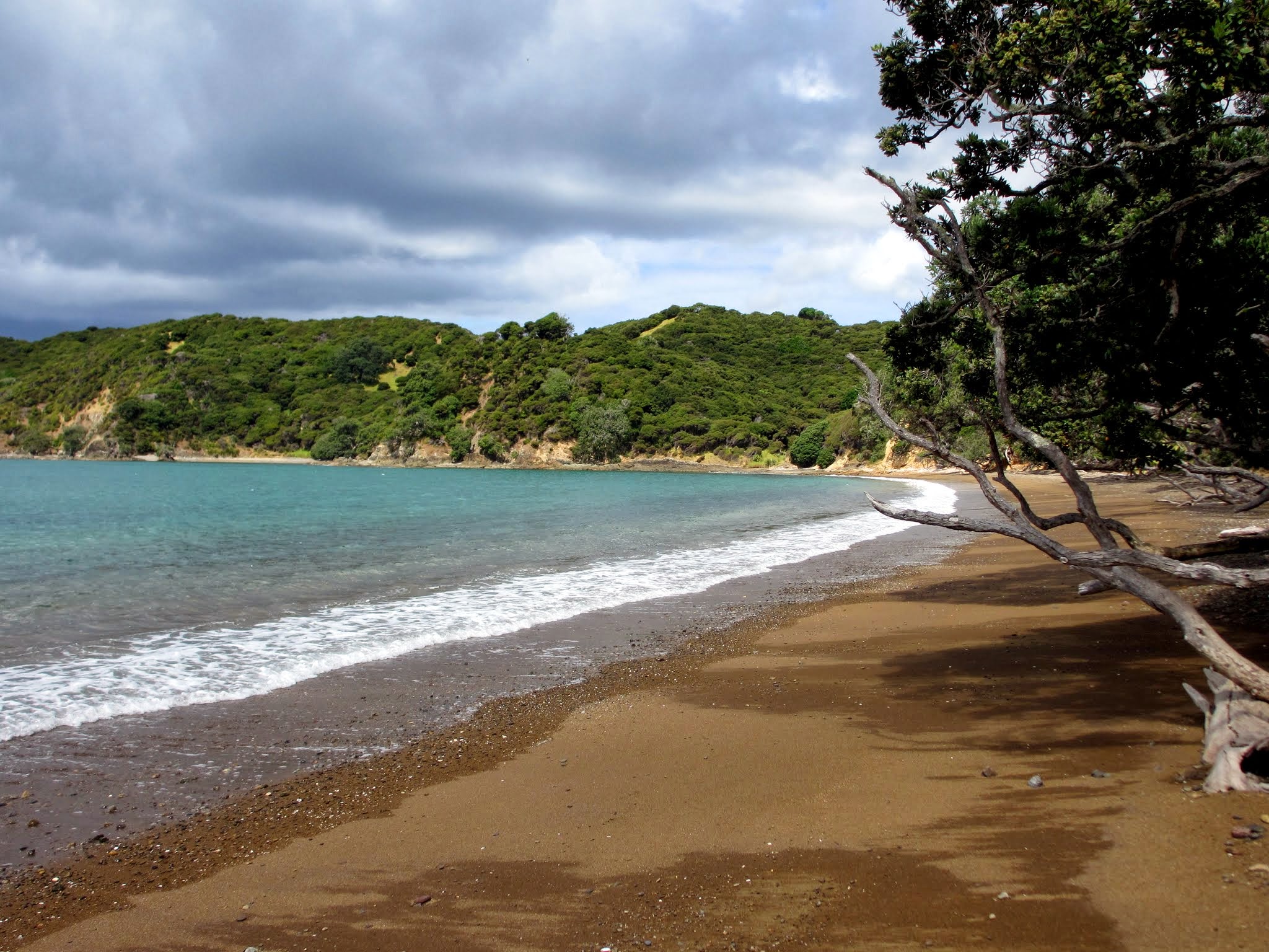
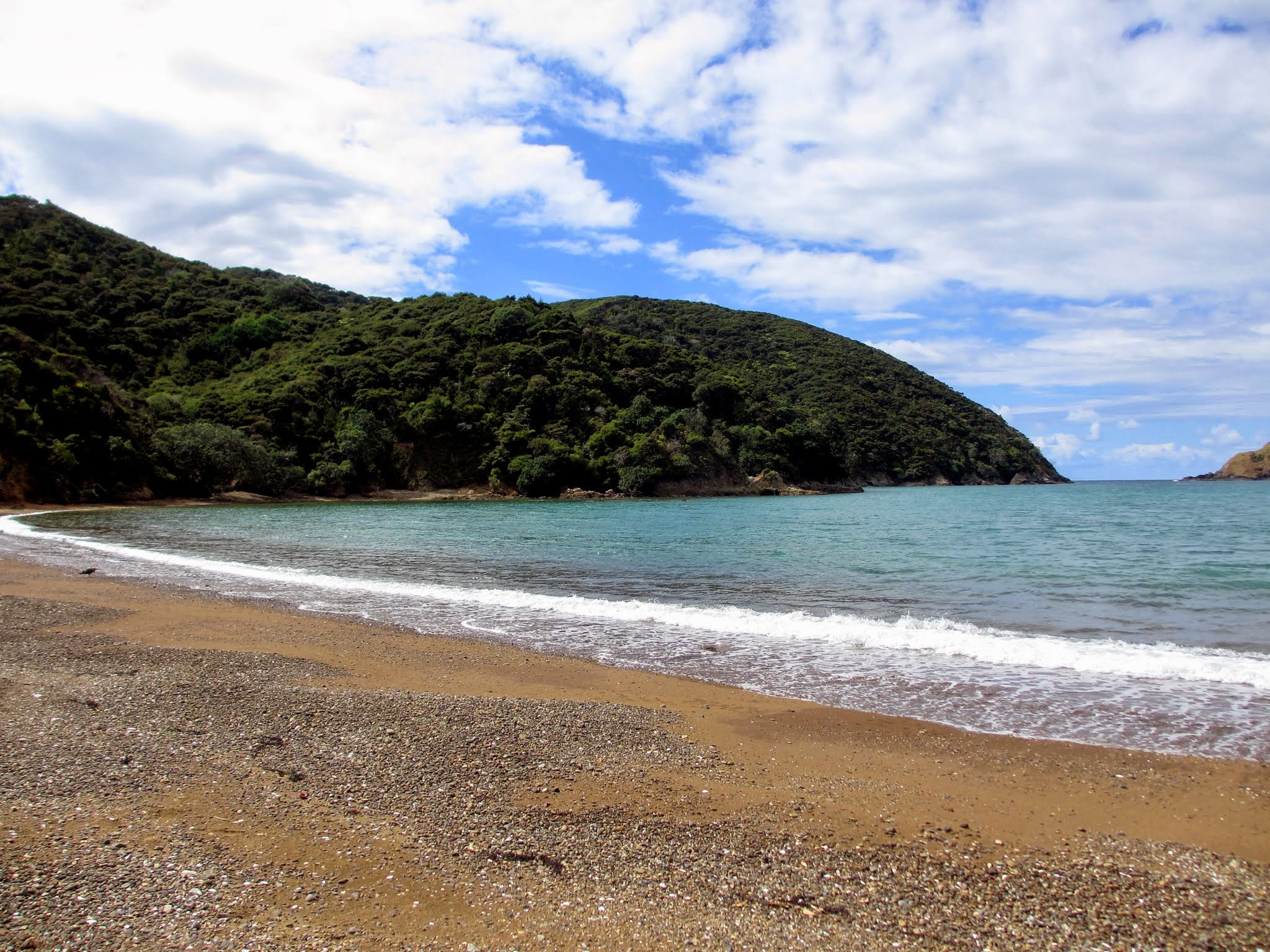
By the time we got back to the big grassy hill the rain had let up, allowing us to enjoy the hike down the hill and a walk along the beach.  This place is lovely, but we didn’t feel totally comfortable here. I think the cloudy day combined with the remains of the old whaling station left us uneasy.  We planned to head on first thing in the morning.

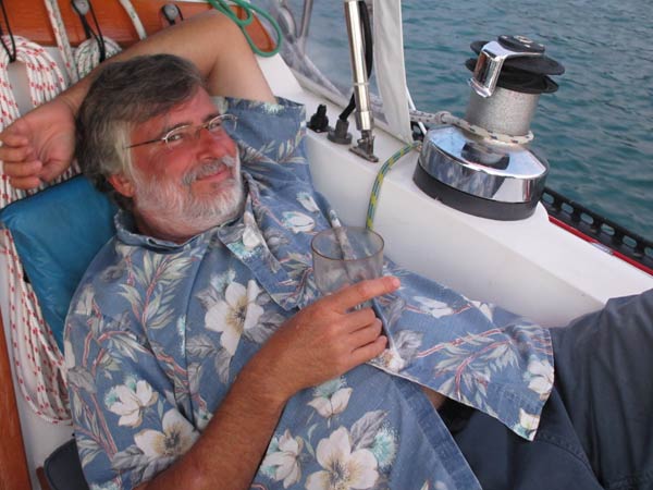
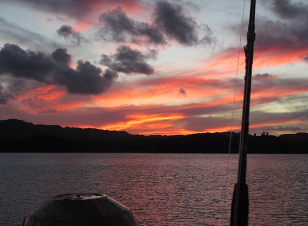
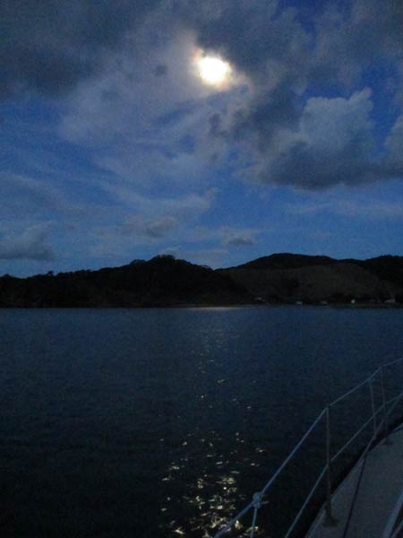
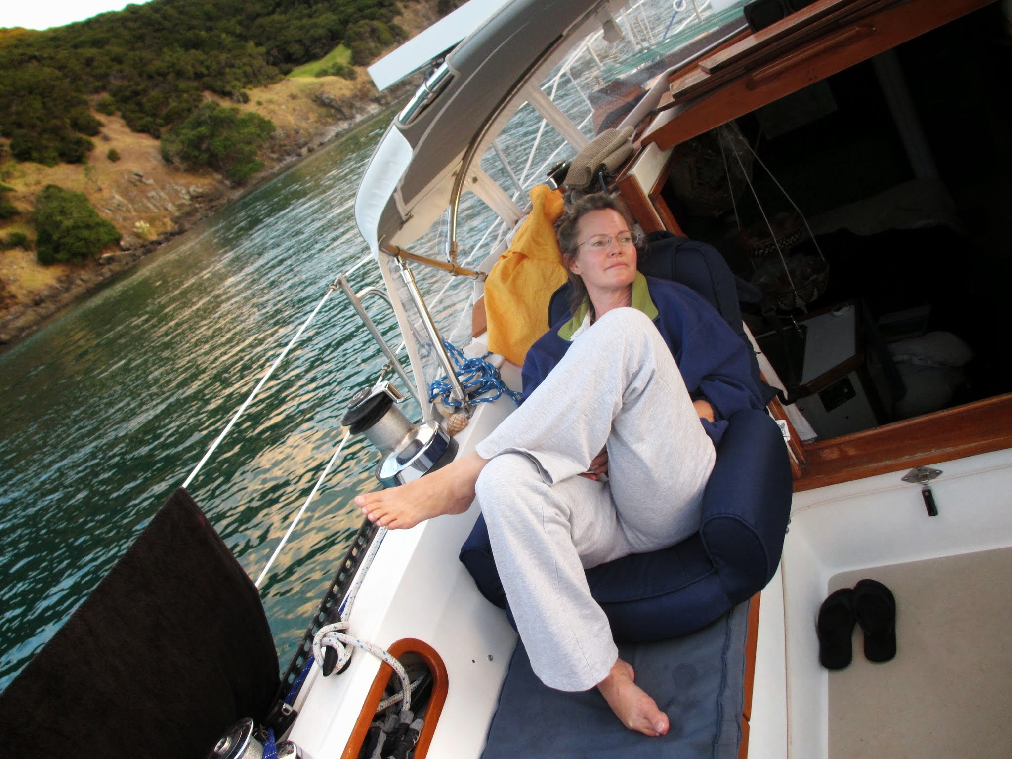
Here is a gallery of photos taking throughout this day, including a photo of me in the cockpit.  When we’re out cruising (away from a marina), we pretty much always end our day sitting in the cockpit with a drink or two.  The portable chairs we got from West Marine have been absolutely perfect for this! –Cyndi