Heading North to Cape Capricorn (Queensland, Australia)

Posted February 26, 2023 about
August 30, 2022

After we’ve spent some time in a new place, creating a haven of the known amidst the unknown, I sometimes experience a bout of anxiety just before we leave.

In this case, I had an attack of nerves in the middle of the night. What is it about 3am that makes things seem much more arduous and intimidating than they actually are? Being a fan of better living through chemistry, I have no qualms about using a sleep aid. It did the trick and when I woke the next morning, I felt good to go.

We took a final look at the weather forecast and saw less-than-ideal conditions. Rich was thinking we might put off leaving another day, but I pointed out some reasons why, in my opinion, heading north today would be better. Thankfully he agreed, because at this point I would have been terribly disappointed not to get going.

We said our good-byes to the staff and our neighbors, cringing to hear one friend–someone we’d spent time with on the shuttle bus and at the mall the previous day–had just tested positive for Covid. This is not exactly the sort of thing one likes to hear just as they’ve started motoring down the fairway, but what can you do? I was very glad we’d made the effort to get Covid boosters shortly after arriving in Australia.

Our first stop was the fuel dock where a woman was standing, seemingly waiting for us. I assumed she worked there as she took our bow line and ordered me not to jump off the boat (the “leap of death” she later called it). I ignored her and made that death leap so I could get our stern line tied up, a good move because the current was already pushing it out and away from the dock.

Come to find out she didn’t work there at all; so luckily I didn’t follow her orders or else Legacy’s bow would have been tied to the dock, our stern sticking way out into the water positioned much like a horse tied to a post. And neither one of us having cowboy skills, tossing a lasso all the way from the cockpit to the dock is a no-can-do. We would have been in a right pickle. (Why am I suddenly talking like a British cowboy?)

People trying to help on the dock are generally well meaning, but they don’t know our boat. Thus, we’re very careful about letting people take our lines. Generally I jump off with a bow line and direct helpers on the dock to grab a stern line from Rich. Rarely do I let anyone take the bow line as I often end up regretting it. On the other hand, there are times when people who really know what they’re doing can be a great help. It can be a difficult call to make.

In this case, the woman was simply a fellow cruiser. She and her partner had been making their way north to the Whitsunday Islands but were now giving up and turning back south. This year’s weather had been so difficult that it was just taking them too long. Wow, interesting; I sure hoped it would be better for us. We did have an advantage in not having to plan for the dreaded southerly journey against prevailing winds at the end of the season (something so many Australian cruisers have to do).

After fueling up, we headed out to the main channel. The weather was chilly, with a mild southerly wind. The overcast, cloudy skies made things feel a bit shaded and dreary, but the sky lightened up as the morning went on.

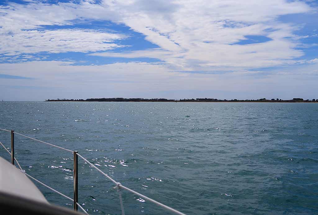
Once we entered the pass, we were in a plethora of lowlands and islands, rocky and bushy, surrounded by dark water. It was about what I’d envisioned, not beautiful but interesting. Not being able to see into the water definitely made this a marker-to-marker kind of pass.

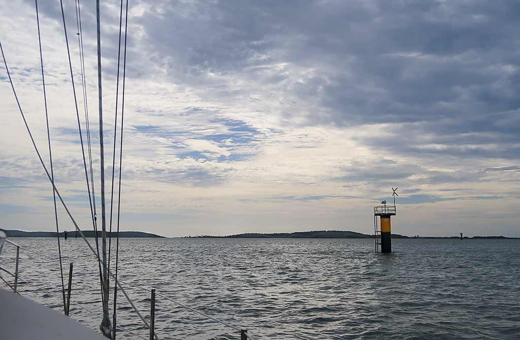
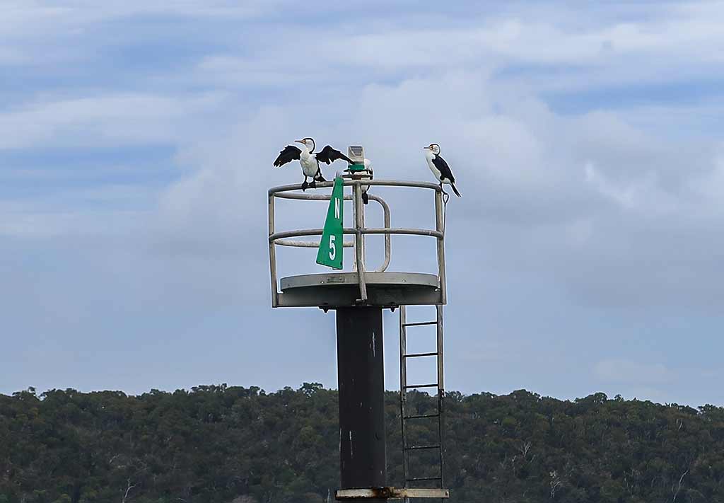
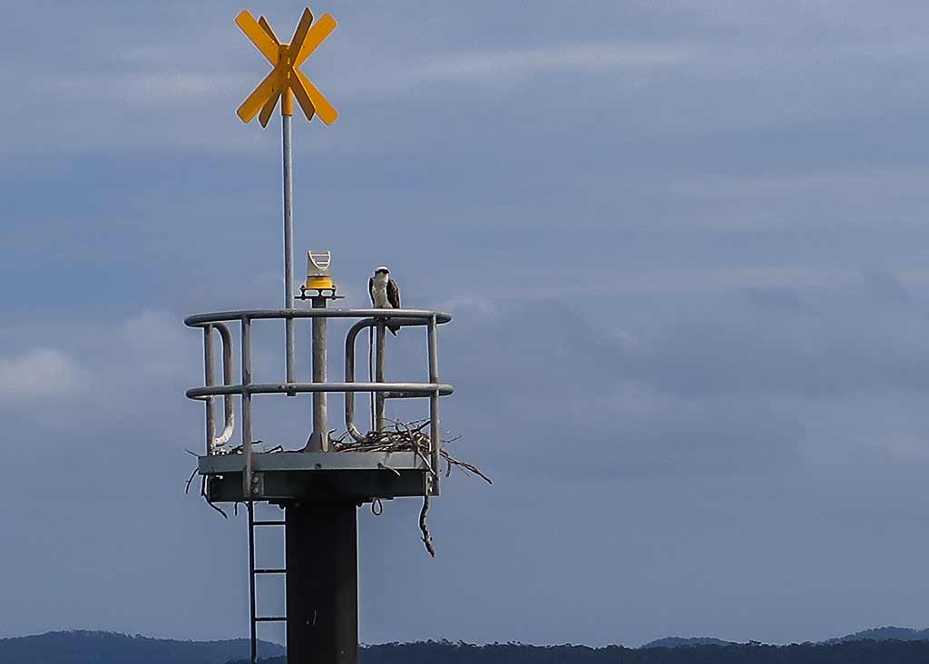
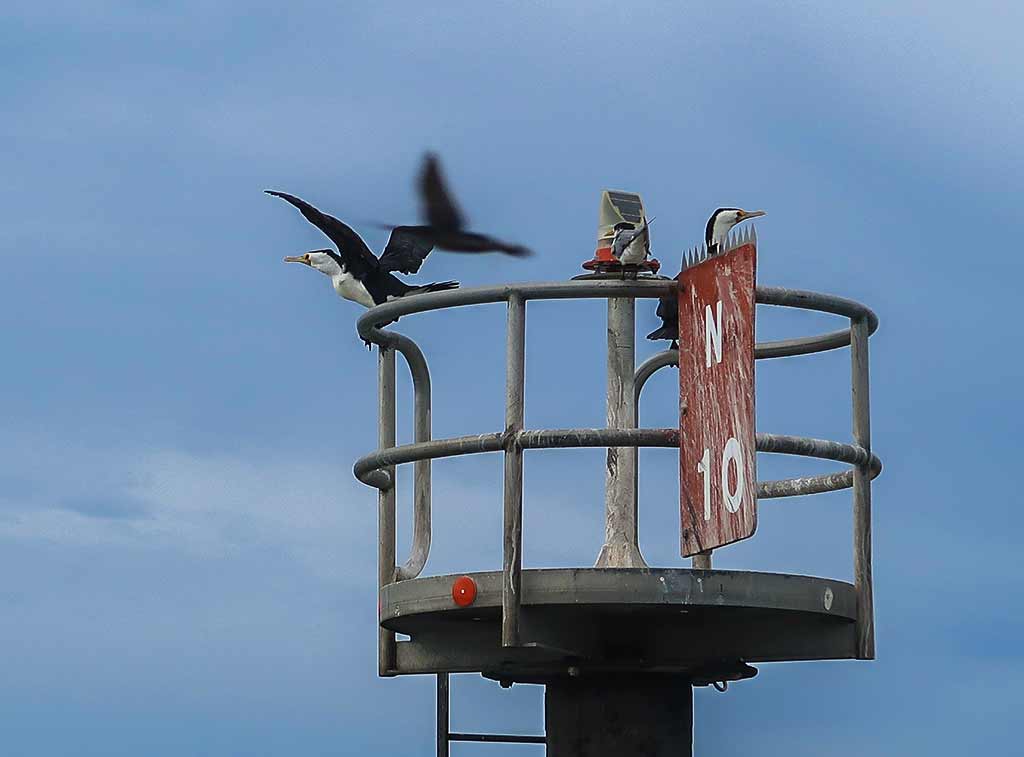
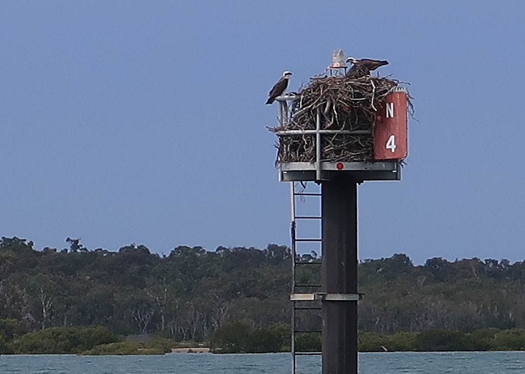
Rich felt let down from his expectations as this pass wasn’t as interesting as he hoped. In my view, beauty is where you look for it, where you choose to see it. But it’s understandable that some might want a more obvious display. For both of us, the highlight of this trip was the channel markers being used by various birds for nesting and hunting, giving this lonely area a spark of life. Especially impressive was the biggest osprey nest we’ve ever seen!

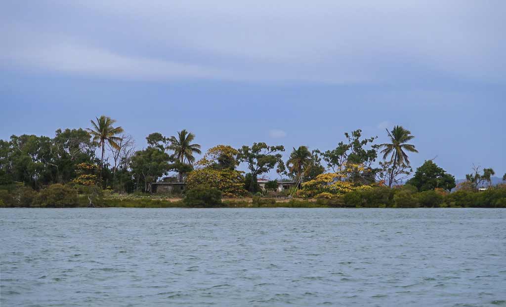
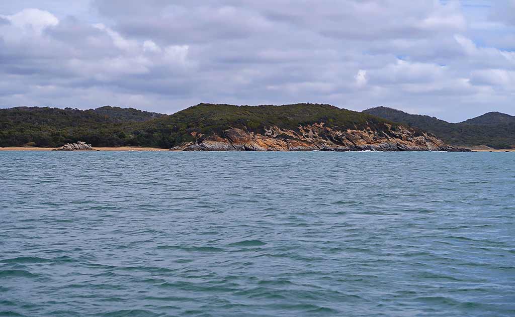
(Below, photos taken while going through the North Pass. Click on any photo to enlarge. The huge osprey nest is in the bottom right photo in the gallery.)

At times this pass felt intimidatingly shallow, but we only saw 14 feet minimum so in the end it was no sweat, and we didn’t see any current as we excited out into the open ocean.

Once we got outside, conditions, while not bad, were also not that pleasant. It was bumpy and difficult to do anything below decks. We hoped it would improve, but an hour or so later we took a look at an anchorage called Turtle Street. We went in but the swell was going right in there. It was a no-go, not a surprise but had been worth a look.

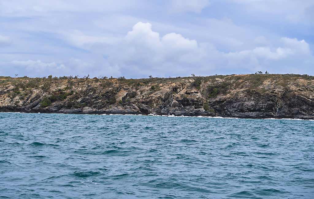
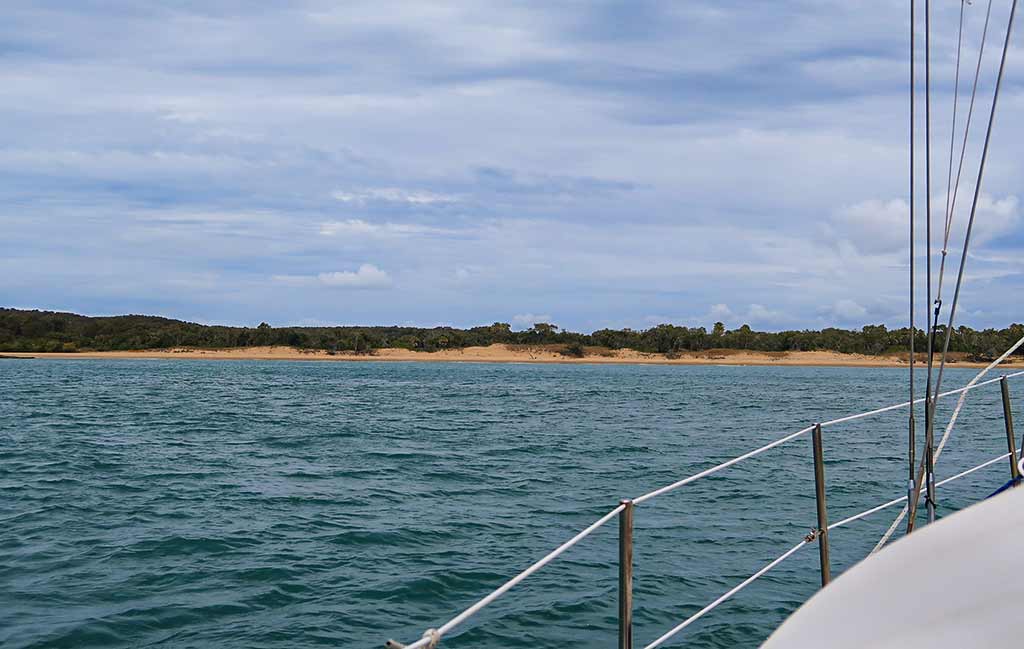
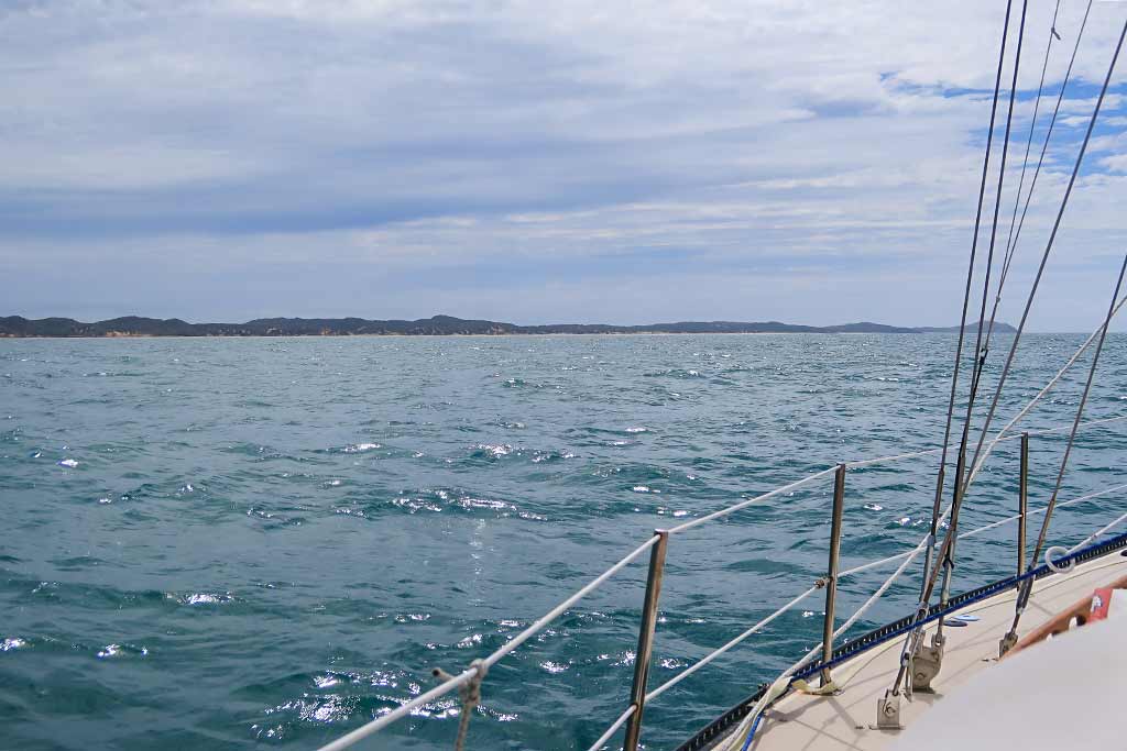
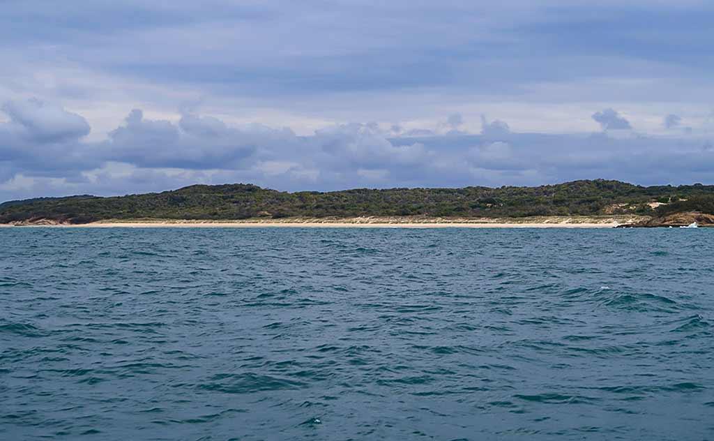
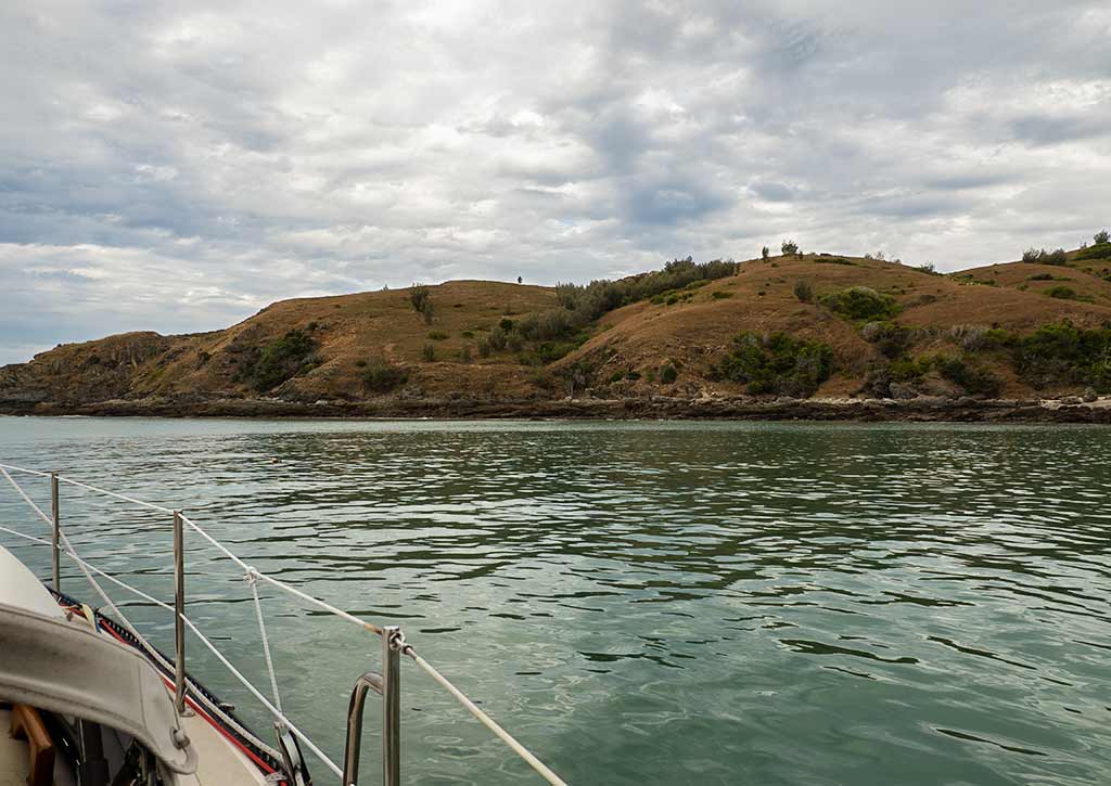
And so we continued on what would be a 5-hour trip. Along the way the shoreline had what I’d call a pretty typical look for the Australian coast, rather craggy with low bush and an occasional beach. Below, a few photos from the trip . . .

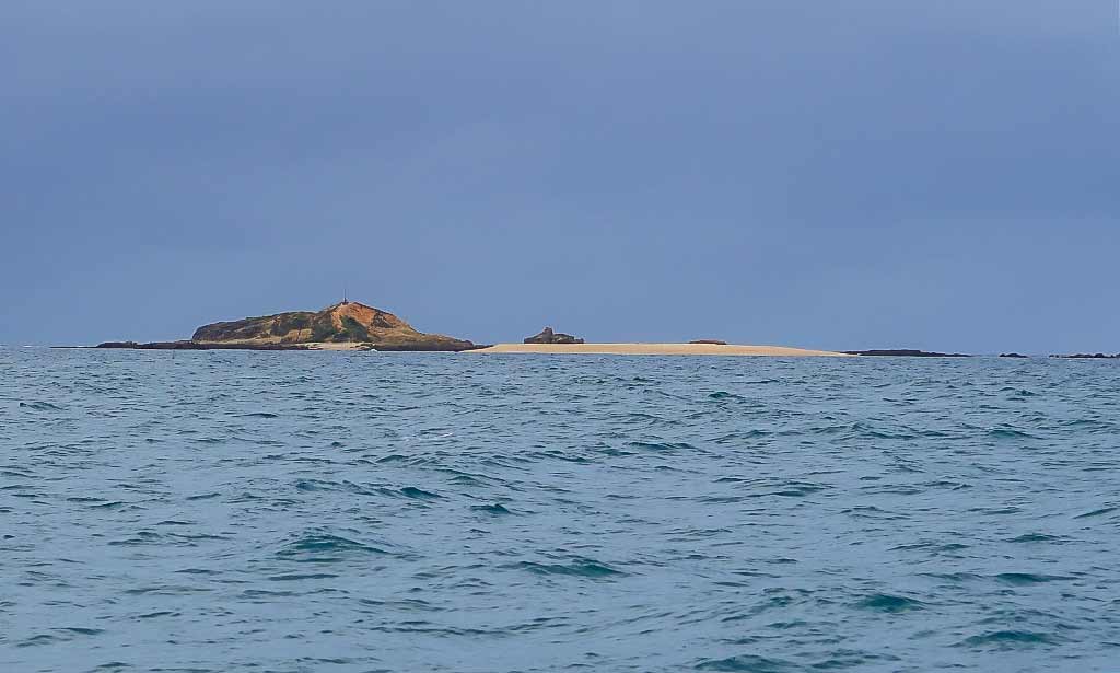
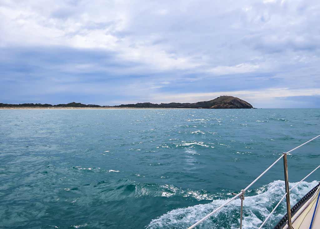
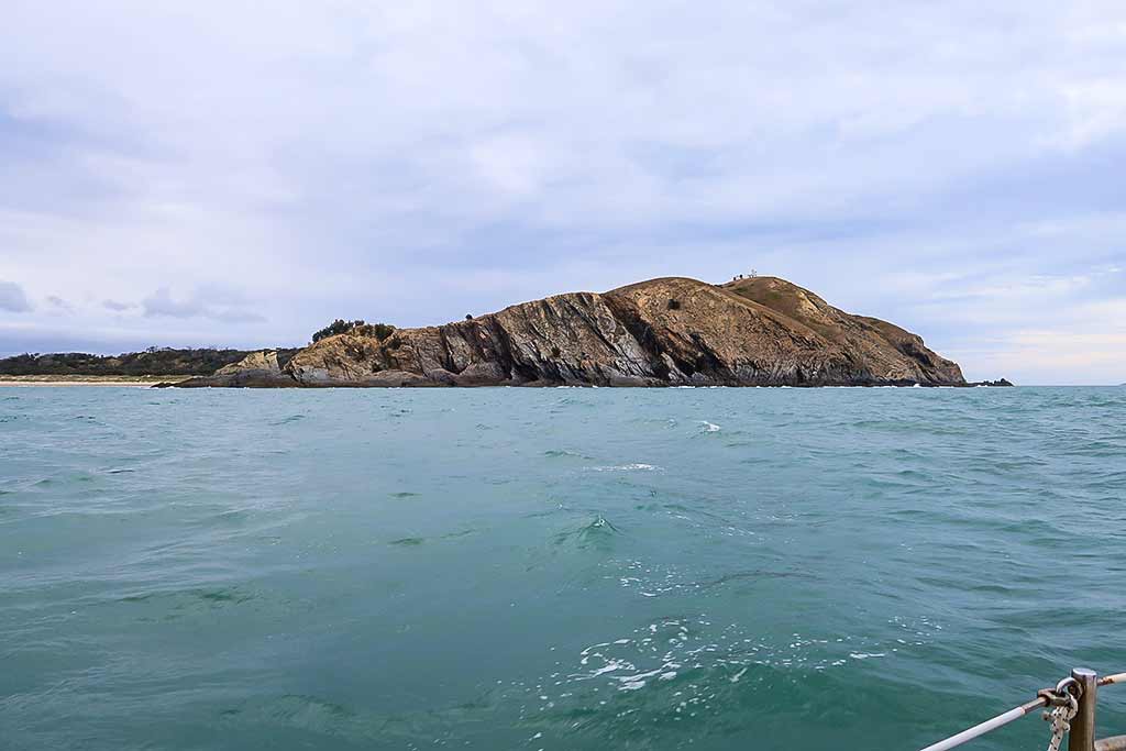
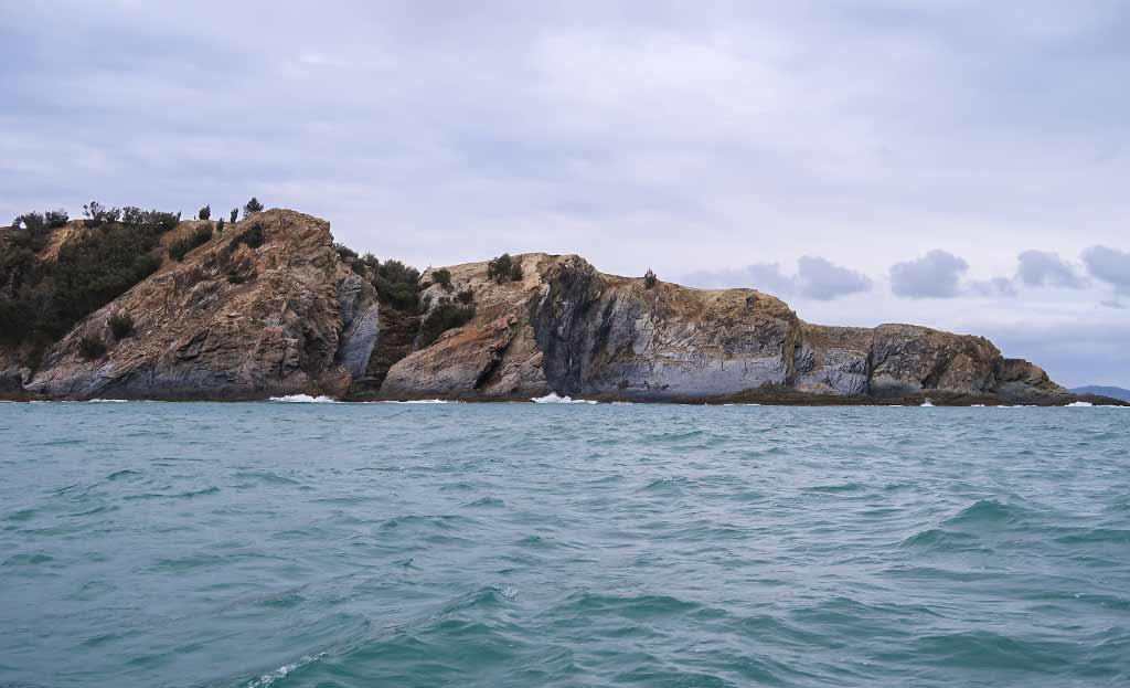
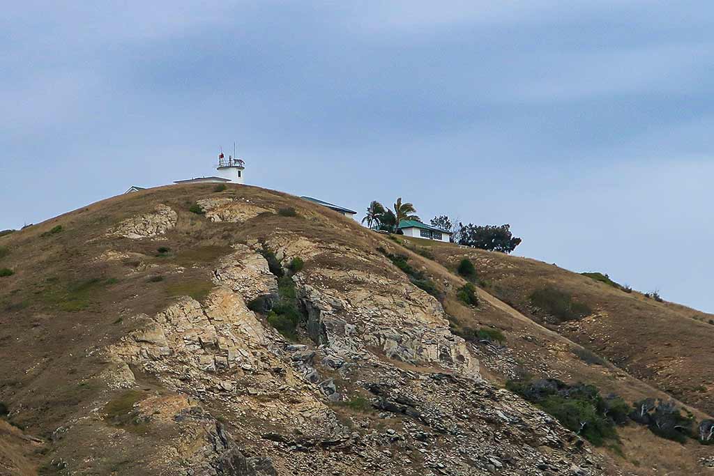
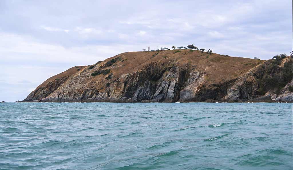
Finally we were approaching Cape Capricorn with its long, low peninsula capped off by a high rock hill. On top of the hill was a lighthouse and two cottages. Aside from a handful of small trees, the area had the desolate, barren and windswept look that comes with being exposed to harsh, windy conditions.

I had a strange feeling when, for a moment, it looked so much like Cape Brett in New Zealand, a point we’ve rounded a few times. I wouldn’t call it a nostalgic feeling but a harbinger of something I’d end up struggling with the rest of this season. I’d describe it as a loss of a sense of place, of new sights reminding me so much of old ones that I’d feel off balance, and sometimes having to remind myself what country I’m in, what time zone I’m in, and a feeling of not being tethered to my surroundings. At this point the feeling was momentary so I didn’t think much of it.

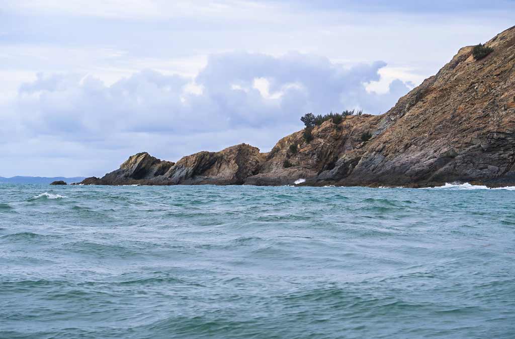
Below, a few photos of Cape Capricorn . . .

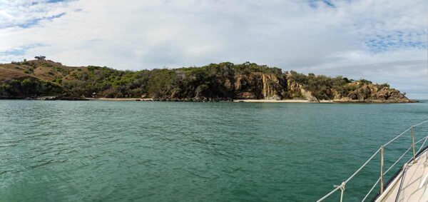
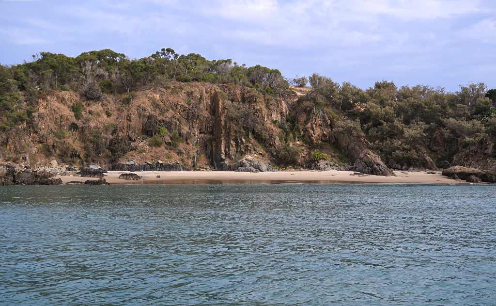
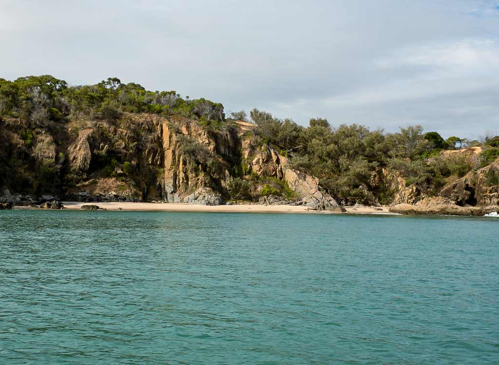
After rounding the point we headed towards the bay. At first it looked dubious as the southeast swell was wrapping around the point and towards the bay. But if we could tuck in far enough it might not reach us. As Rich slowly motored in, the water calmed, and we dropped our hook off a nice-looking beach at the base of a cliff. We set the anchor, stopped the engine, and felt only gentle movement, a kind we actually enjoy because it makes us feel like we’re out cruising, away from the dock.

We set up our chairs in the cockpit and took in our surroundings. Off to the east was a line of squalls, the sky streaked with gray and white clouds. These clouds were actually pretty, but they made the anchorage seem more dreary than it was. Most of this area was cliffy with lots of black rock, brown dirt, some washed-out green scrubby bush, and faded orange-y grass on the hill above the cliffs. On a rocky part of the shore was a scraggy lean-to and an old truck. The water was dark, but the area with the beach was nice, especially later when the sun peeked out and lit it up. Below, a panorama of our anchorage during a moment of light.

At this moment, while this wasn’t the most attractive place we’d been; it felt like a triumph to have gotten here. We did get a bit of rain, but most of the squalls were passing safely by. As long as it didn’t get rolly this would be a fine place to spend the night.

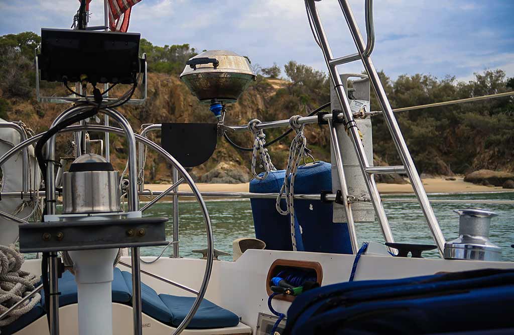
Below a photo gallery of our anchorage, one of which I took to show the view out through the cockpit at the beach behind us. This one kind of captures the feeling of the afternoon for me.

After enjoying a glass of wine outside, exhaustion started to take over and we went below. I could feel the weeks of uncertainty and stress fall away. Mentally we’d been like young seabirds standing on a cliff top, and now we’d finally spread our wings and flown, going through the North Pass, up the coast, and now finding a place to land for the night. I knew there was so much ahead of us, much of it we could only learn by doing, This definitely marked the beginning of a new phase of our lives.

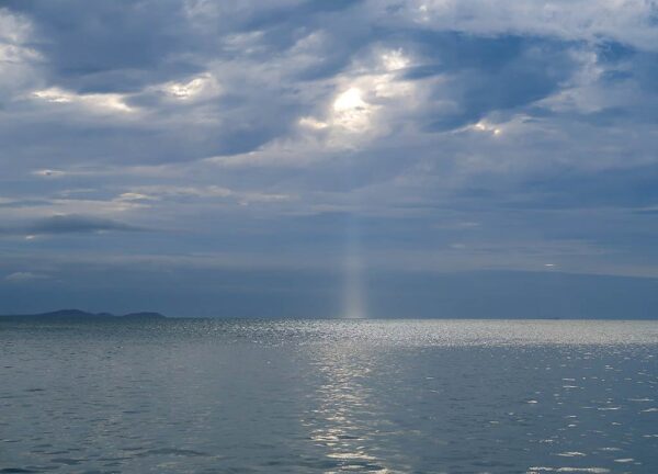
Late in the afternoon, it was pretty cool to get a beautiful God Ray display just to the north.–Cyndi

Remote Assistance for an Electrically Challenged Friend

February 8, 2023

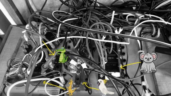
This is what I sent her (a somewhat modified picture of her electrical panel)…

And here’s what I asked her…

First, I’d like to know where the Koala buss bar gets its power. I suspect it comes from the kangaroo (DC Master Breaker) through the crocodile wire. Where does the crocodile wire come from?

The cockatoo buss bar is where the negatives from all your crap connect. Where/how does that connect to the battery?

Can you tell Legacy is in Australia?

We’ll see how this works out?!

-Rich

Preparing to Say Good-bye to Gladstone (Queensland, Australia)

Posted February 06, 2023
about August 29, 2022

We were nearing the end of August, and so far we’d acquired and installed some needed parts for our boat, gone through our “see and do” list for Gladstone, researched how best (for us) to cruise the Queensland coast, chosen our first “destination” anchorage at Great Keppel Island, and made arrangements to stay in the Keppel Bay Marina (not far from Great Keppel Island) during an upcoming windy period.

We were pretty much set but still had a couple of decisions to make before taking off, the most critical being what route to take out of Gladstone’s harbor. Basically we had are three options:

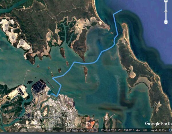
–A 25-mile trip north through a waterway that included what’s known as the Narrows (shown by the yellow line on the map below).

–A 10-mile trip down the main shipping channel to the harbor’s South Entrance. This wide, deep waterway would be the easiest route, but going miles out of our way wasn’t appealing. (shown by the green line below).

–Or finally, we could take a winding easterly route amid shallows and barrier islands to the open ocean. This route, known as the North Channel, is shown on the map below.

Initially we’d hoped to go through the Narrows, a protected, scenic waterway through a large area of mangroves. The issue with this channel is that even at high tide, it isn’t all that deep, and at low tide it gets shallow to the point where some areas dry out completely (one spot actually serves as a cattle crossing). With our deep draft, the average high tide wouldn’t be enough: we would need a spring tide (the highest of tides that occurs during both a new and full moon). Timing the tide correctly would be critical.

It looked as if a deep tide and our chosen departure date might match up, but we still needed some guidance from the marina staff, who thankfully help to their guests make a plan to navigate the Narrows.

We went to the office to consult with one of the staff. He checked the tides and told us that it would maybe be do-able, but we’d right at the our depth limit with almost no leeway. If we got stuck, we could well end up on our side in the low-tide mud, trapped until the next high tide, watching a bunch of cows walk by us.

Well that didn’t sound good at all, not an acceptable risk. We had the option of waiting a few more days for a higher tide, but then we’d lose our weather window for the trip. Bottom line: getting north was more important to us than traveling up through the Narrows.

Thus, our next choice was to go through the North Pass. We’d have tide issues there, but with proper timing they wouldn’t be a problem. We’d head out on a rising tide, arrive at the shallowest areas at high tide, then ride the subsequent outgoing current through the final pass. Once on the open ocean, we could then head north along the coast.

The motor-sail to our main destination, Great Keppel Island, could be done in just a couple of day trips, but we’d need to figure out where to anchor for the night en route. We were thinking of a place called Yellow Patch, an anchorage at the base of a big yellow-orange sand dune. The pass into the anchorage was rather shallow but probably deep enough for us, but we figured we’d better double check.

The marina’s advice saved us again—it seemed the entry to Yellow Patch had gotten quite silted up and would be iffy with our draft. Our helper suggested Hummocky Island, not far north of Yellow Patch. Meanwhile, friends of ours had suggested ducking in behind Cape Capricorn, 20 miles up the mainland coast and also not far from Yellow Patch.

We looked at both, but when I checked out Hummocky Island in our guidebook, the author described the anchorage there as “active.” One thing I’ve learned with guidebooks is each author has their own way of describing things, which I have to learn to translate into what that means for us.

For instance, when Alan Lucas says an anchorage is “active,” what he actually means is “pretty damn rolly.” When he says Cape Capricorn’s anchorage is swell-prone, that means “really damn rolly.” Rich took a close look at satellite images and found spot deep in the bay behind Cape Capricorn that looked reasonably well-protected. We decided on the Cape Capricorn anchorage and if it were unsuitable, we could travel another 8 miles to Hummocky Island.

Below, an interactive map showing our options . . .

Once we made the decision to head out the North Pass everything fell into place. We could leave at a reasonable time in the morning, top up our tanks at the fuel dock, get to the North Channel without having to rush, and get out the pass and north to Cape Capricorn and arrive before dark. At this point, making our plan and plotting out our routes, we were both feeling excited to get out cruising again.

After the usual whirlwind day of activity that happens before we head off, it was nice to pour an evening glass of wine and catch my breath, all the work behind us for awhile. I took a look at my journal and reflected on the time (nearly 3 weeks) we’d spent in Gladstone. While in New Caledonia, we’d been hearing news of Australia’s excess rain this year; so I was surprised to realize we hadn’t seen any rain since we’d been here. Aside from a handful of a breezy days, the daytime weather had been been mild, sunny and pleasant, shorts and tee-shirt temperatures with just a couple of mornings calling for a pullover.

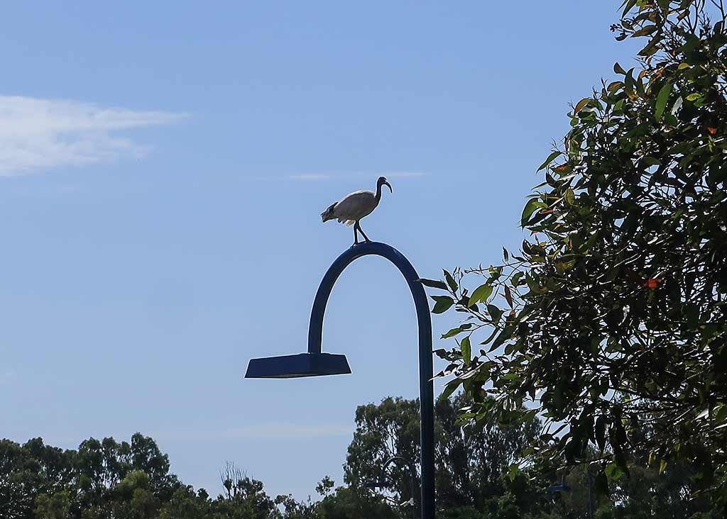
The nights, though, were chilly. At dusk we’d put in our hatch boards and sleep under a comforter. After 5am, whoever got up first would turn on the heater, and we’d run it until about 8am when it would start to warm up outside. At that point we’d take out the hatch boards and be greeted by the sound of birdsong from the park.

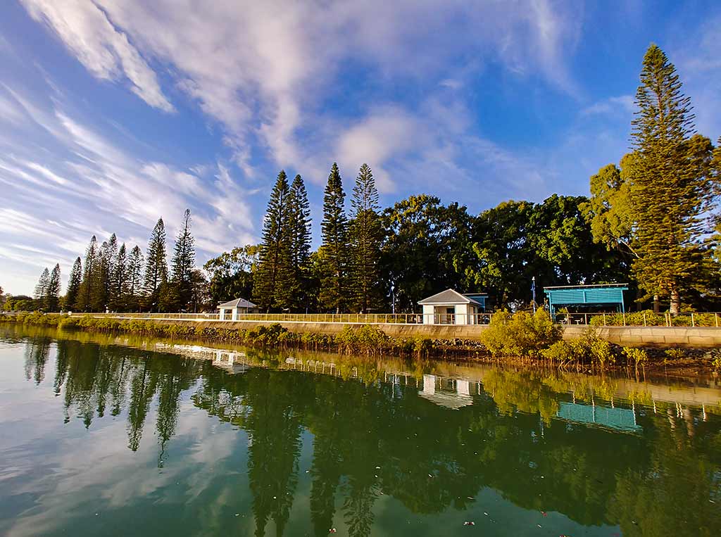
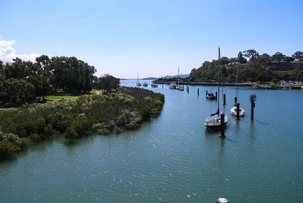
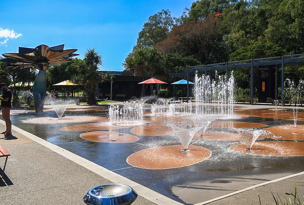
As far as my impression of the city, I’d call Gladstone tolerable and wouldn’t recommend land-traveling tourists go out of their way to see it. For cruising sailors, though, it’s well worth stopping at this particularly nice marina that sits in a park full of birds, surrounded by water that seems  extra sparkly. Below, a few miscellaneous photos from our time here that didn’t make it into the previous photo galleries (click any photo to enlarge).

In retrospect, I’d say aside from the luxurious Soldier’s Point Marina in New South Wales, Gladstone is the nicest marina on the entire east coast of Australia. (And yes, we’ve seen them all.) Saying good-bye to this place would be bittersweet.–Cyndi
Flying Foxes (aka Fruit Bats) in Gladstone (Australia)

Posted January 26, 2023 about August 21, 2022

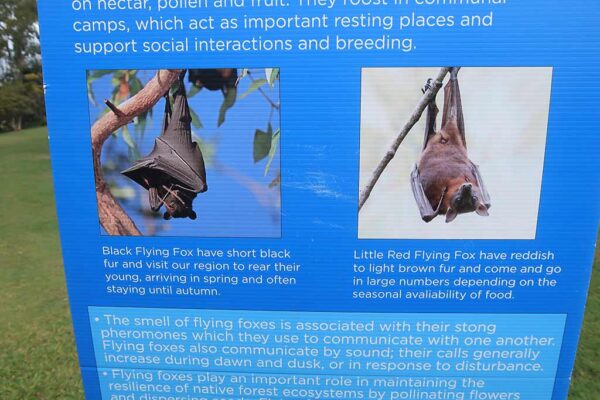
When we first arrived here and walked through the park, I was encouraged to find a sign describing the area’s flying foxes. As a big fan of these bats, I’d hoped to see them at some point but didn’t know if they’d be in Gladstone. The sign confirmed that fruit bats do visit this area, but unfortunately black flying fox season had ended, and sightings of the little red flying foxes would depend on food availability. Seeing bats in this park would be far from a sure thing.

We’d looked for bats at sunset but didn’t see any. I figured they probably weren’t here at this point. Then one morning someone on the shuttle bus remarked about seeing bats, saying, “The sky was black with them last evening!” It was? I’d looked out at sunset but certainly didn’t see any sky blackened by fruit bats.

Then one evening, visiting our friends on Nomad, they said, “Look at all the bats!” The sun had set but the last of the dusk-light lingered, but still I couldn’t see any bats. Our friends pointed towards a shadowy area of the sky, and when I looked harder, I realized the dark area was filled with bats, probably hundreds of them, flying towards the main harbor and outer barrier islands.

Rich and I were curious to see if there were any bats in the park, so the next evening we went to look for them. We now realized that in this area, sunset was not the best time for bat sightings as they seemed to prefer the cover of near-darkness. So we set out at dusk and were rewarded with the sighting of a single bat, followed soon by more bats, as the last of the light disappeared.

These bats made a beeline for a particular tree, gracefully swooping around us, landing amid the branches and hanging upside down to enjoy whatever bat delicacies the tree had to offer. Despite being called “little red flying foxes,” they  seemed pretty big, and being in their presence evoked a sense of wonder and awe that stayed with us even after we were back on the Legacy. –Cyndi
Historical Weather

January 26, 2023

A reddit user (u/mrcschwering) on the SailboatCruising subreddit just posted about the new historical weather site they developed. It’s amazing!

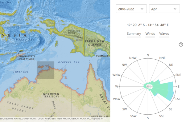
Historical Weather from https://www.prevailing-winds.de/

It has the last five years of weather data. Click on a point on the map and on the right, you get a summary, winds, or waves for that area during the month selected. Above are the winds for April near Darwin (where we are now).

We’re trying to get to far northern Indonesia and we’re reading and hearing so many conflicting things about when it’s best to go to this area. This website makes it pretty clear that the earliest is March and April might be better.

Here’s a link to the site.

-Rich