
November 17, 2023 about September 19, 2022
Continued from this post.
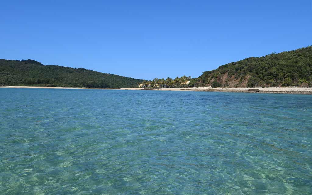
By the time we were ready to go ashore, a breeze had come up from the northeast. This was something we needed to be mindful of as we were in a north-facing anchorage.
One of the things we encounter while cruising is light and variable winds. Generally they range from 4 to 8 knots, give or take. As their name suggests, they often vary in direction throughout the day. Sometimes, these direction-changing breezes are something we have to contend with, but just as often, they present opportunities
Light and variable winds can be accurately forecast on the weather models (GRIBS). In some cases I have used these forecasts to plan quick visits to typically-untenable anchorages. We seize a calm window to dash ashore or go snorkeling, making sure to return to our boat and skedaddle out of the anchorage before the wind shift is due.
In other scenarios, when we know an onshore breeze will be light and short-lived, we choose to ride it out. This works just fine as long as the wind stays within the forecast range.
In this particular case, we knew the breeze would come up 4-6 knots in the afternoon and blow onshore until 4pm. Our tolerance limit for onshore winds is usually five to six knots maximum; thus, this situation was teetering on the edge between acceptable and unacceptable.
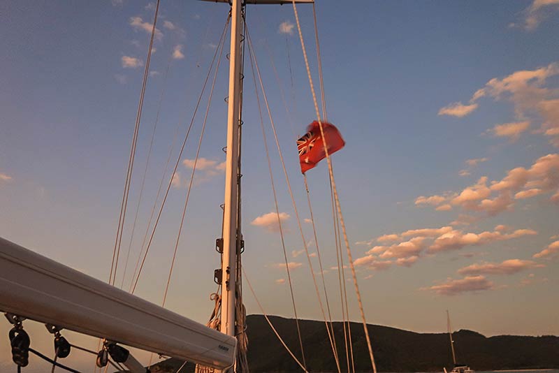
As good as the forecasts are, they aren’t perfect. Therefore, when we’re ashore during these ‘on the cusp’ winds, we remain vigilant, watching and listening for signs of the wind gaining strength. We monitor the surrounding vegetation for clues like increased swaying of treetops, rustling leaves, or shifting patterns of light and shadow. Visible flags are also very handy.
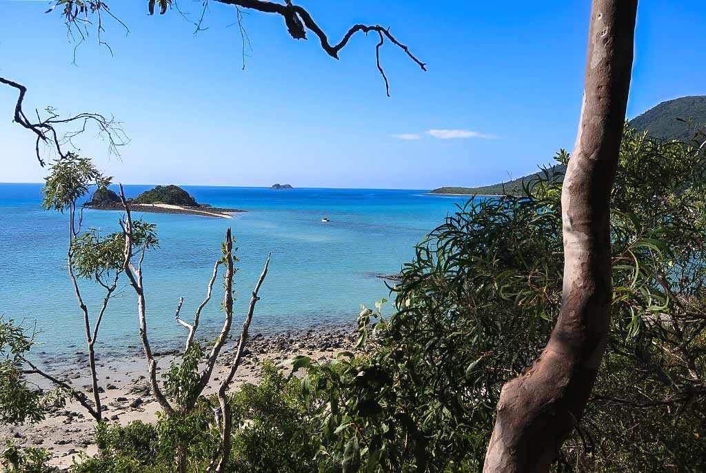
If all went well, the breeze would not be a problem and would actually make things a bit cooler for our excursion. We set off in our dinghy across the aquamarine water, glad to find it deep enough to get over the sand spit nearby. The water was bath-tub warm as we pulled our dinghy up on the sand; possibly the warmest ocean water I’ve ever felt.
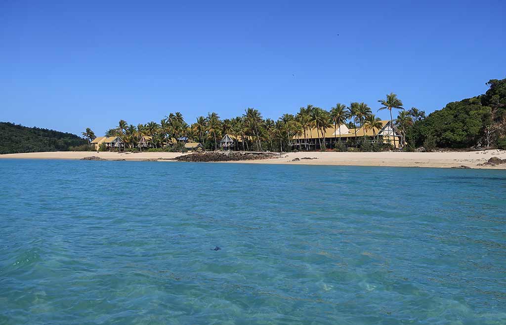
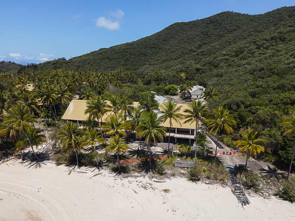
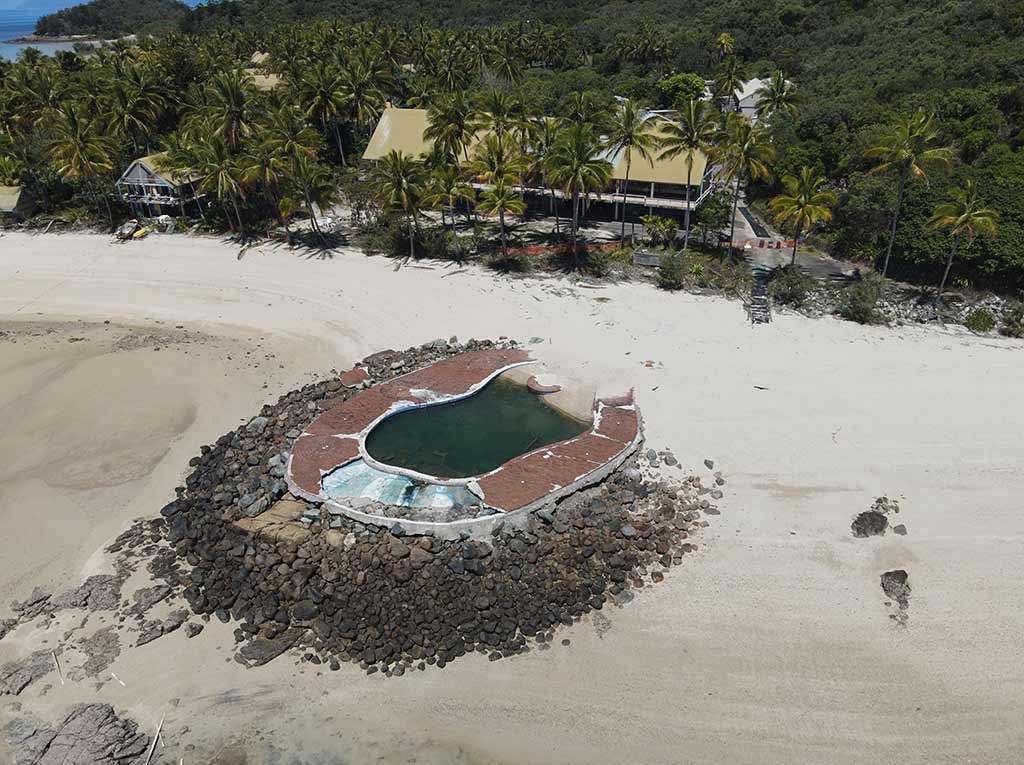
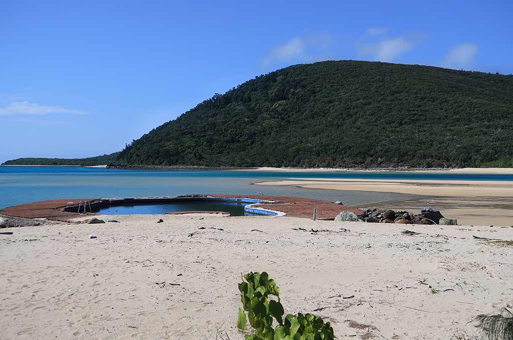
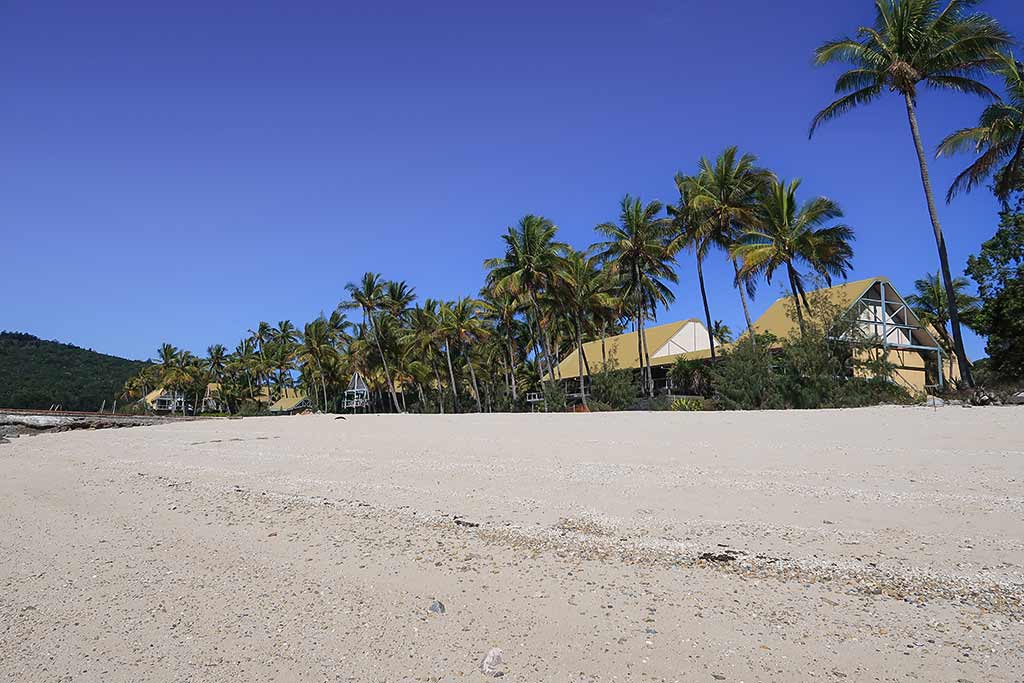
We walked up the beach, passing the dilapidated swimming pool–a sad sight. The resort was fenced and cordoned off, strictly off limits to wandering urban explorers, but we managed to get a good look at the resort building and the palm-covered grounds. It must have been festive in its heyday, but now it was deathly quiet except for the crows. We spotted the caretaker, sunning himself on a balcony, but he made no move to interact with us.
Below, a few photos from our outing, including a couple of overhead photos of the resort and the pool.
We respected the boundaries, yet found ourselves right next to a fence to peer at the information kiosk, hoping to find a trail map. We found information about the area and spotted a tacked-on sign with a U-turn arrow that stated, “Trail map here.” But where? What did that mean?
We made a U-turn, searching the area for the map, to no avail. I trudged back to the sign for a closer inspection and realized the U-turn indicated to check the back of the sign. Sigh. What is it about information signs in Australia and New Zealand? Instead of simply providing information, they seem to offer clues, making us scour the area like reality show contestants.
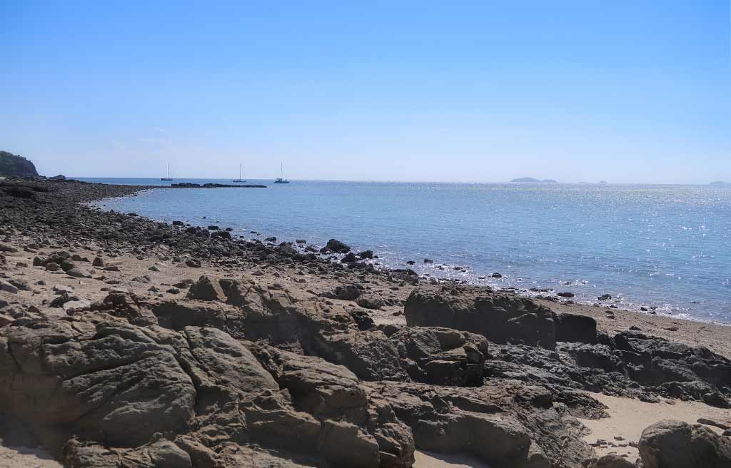
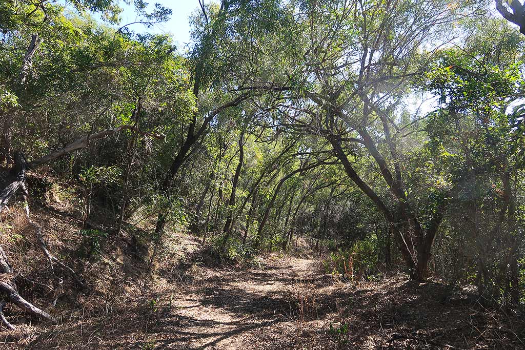
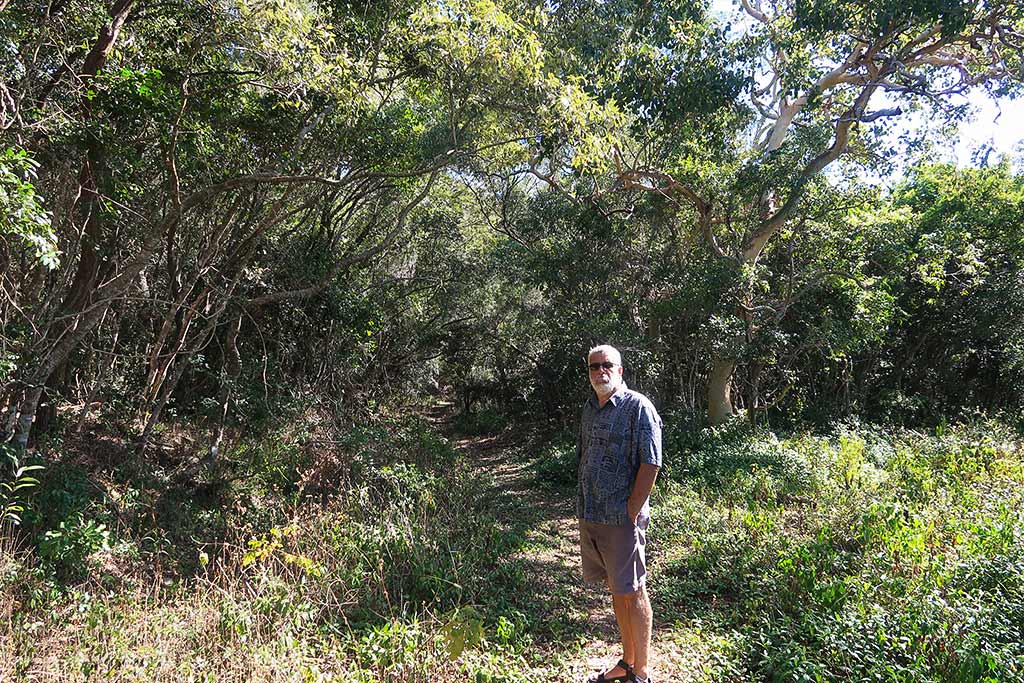
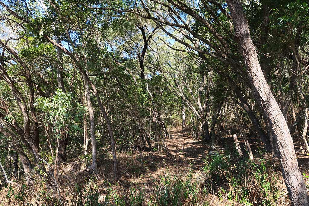
We looked at the map and realized we could take an easy trail going about half a mile to the remains of a jetty. We set off, first finding the hard-to-spot (of course) marker and trail. Alongside the trail was an old railway that once delivered supplies from the jetty to the resort. The trail then veered deeper into a forest thick with Australian bush vegetation. The path, shaded by trees and littered with leaves, was pleasant A few butterflies fluttered about, yet otherwise this forest wasn’t particularly special. Already getting overheated, we decided to turn back. Below, a few photos of our trail walk.
By the time we got back to our dinghy, the breeze had come up; and as I’d feared, was a little stronger than forecast. Whitecaps dotted the water, and the ride back was splashy. The boat was starting to gently hobby-horse, but once we were back aboard it was hardly noticeable. The wind kept increasing, though, now quite a bit stronger than forecast.
Soon, the sea was covered with whitecaps and the wind was gusting up to 18 knots. Under normal circumstances, these conditions would prompt a frantic departure from the anchorage. However, in this instance, the wind’s easterly direction allowed us protection from little Pelican Island and its surrounding reef upwind of us.
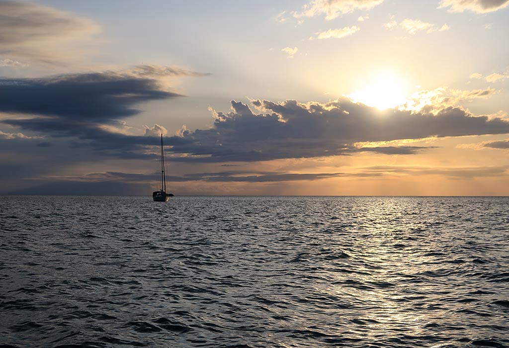
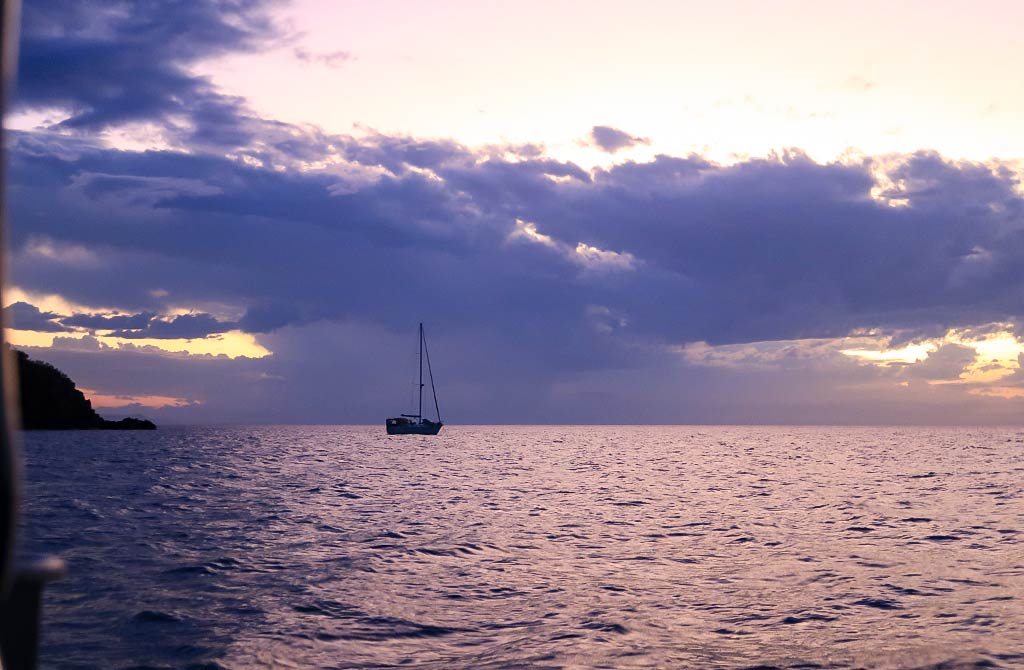
Shortly after 4pm, the wind stared to ease. By the time evening approached, conditions had calmed. Below, a few photos of the evening and sunset.
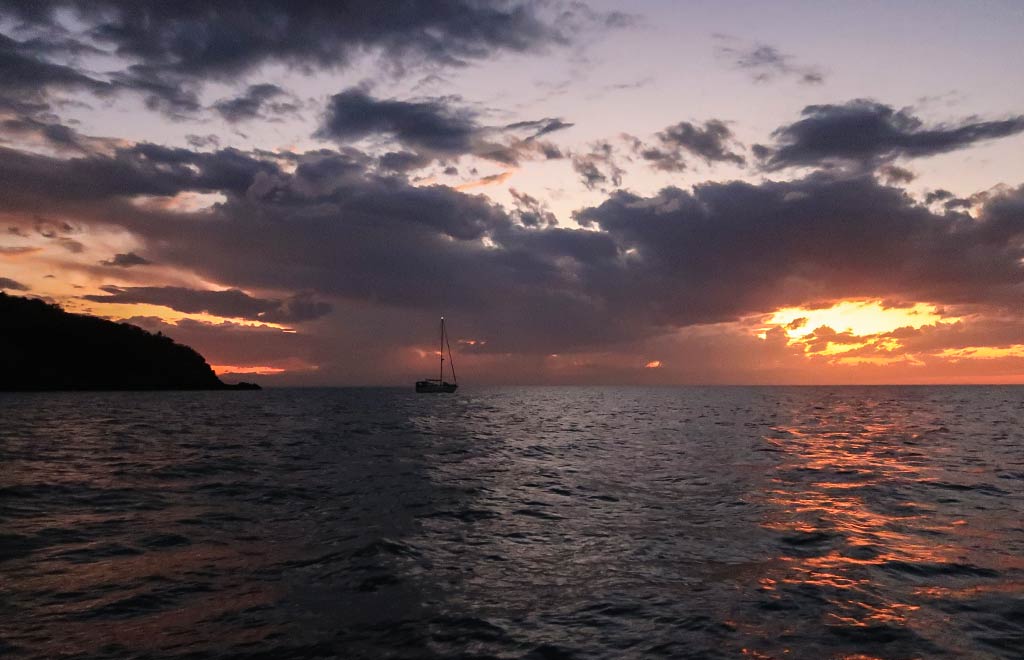
In the distance, I noticed a large cloud rising from the top of a squall, the telltale sign of a forming thunderhead. Soon, we could see flashes of light in the cloud. It was beautiful to watch but another sign of the changing season. We knew that these thunder squalls would become a more frequent sight. How frequent was the question, and would they pose a problem for us down the road? Time would tell. –Cyndi


