March 25, 2013
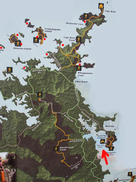
This map covers an area about 16 miles in length and shows where we’d recently been and where we were headed. We’ve added red dots to show our Bay of Islands and coastal anchorages. We were headed where the arrow is pointing, approximately where the tent icon is.
The area on the left of the map shows a large portion of the Bay of Islands area. At the tippy-top is Cape Brett and Piercy Island with it’s “hole in the rock.” Heading down the other side you can see Whangamumu, the old whaling station we’d just visited.
Our next destination was Whangaruru Harbor, specifically Puriri Bay. As you can see, Whangaruru Harbor is well protected. It’s also a popular camping area, with roads and a small town on the mainland side. Its lack of remoteness is probably the reason it’s less popular with cruisers, who think of this more as a convenient stopping point than a destination. While I wouldn’t list it among our very favorite anchorages, it’s a nice area.
Why not go to Bland Bay? It’s possible if the conditions are very calm, but otherwise it’s too open to the ocean swells and would be an uncomfortable anchorage even in light winds. It’s better to anchor in the harbor and then walk up see Bland Bay.
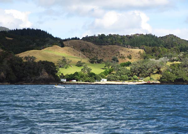
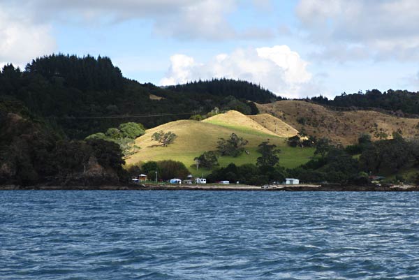
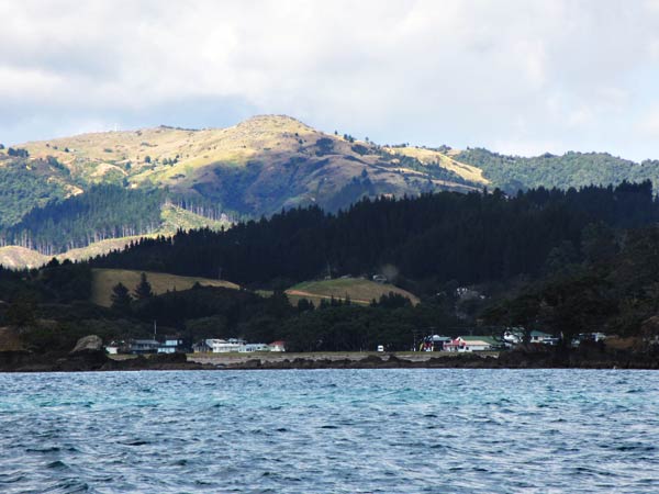
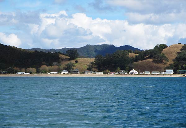
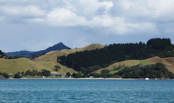
We snapped a few pictures of the mainland area to the west as we made our way into Whangaruru Harbour. The mountains, grassy foothills, and patches of pine forest were dramatically lit under a cloudy sky. Very pretty, but our destination was up behind the arm of the peninsula that enclosed this harbor. –Cyndi
