This is the start of an information page about Manado on the north of Sulawesi Island, Indonesia.
We could say the same thing about Manado that we said about Ternate…
It’s been our favorite city so far, but not without its difficulties.
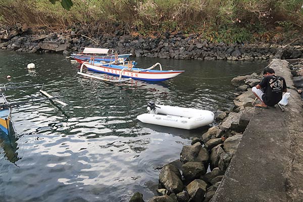
Below is a Google Map with some of the essentials we found, including dinghy landings where we anchored. There’s also our “out of town” anchorage further south from Manado.
Click on a marker or listing, either on the map or the list below the map for more information about that spot.
Difficulties mentioned earlier: A somewhat difficult dinghy landing and a deep anchorage (65 feet) that can be rough in the afternoon when an onshore wind blows up to 15 knots.
For some very mild amusement, zoom all the way out and take a look at Sulawesi. We saw it referred to as the “stupidest shape for an island ever.” We’ve been trying to decide what it looks like but haven’t come up with anything great yet. Regardless of it’s strange shape, the north end has been absolutely wonderful.
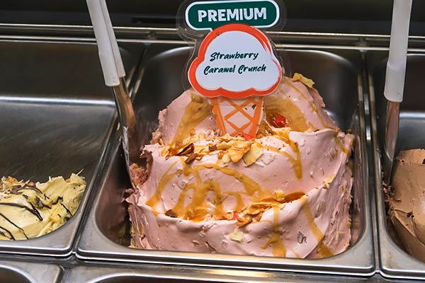
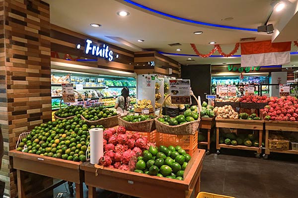
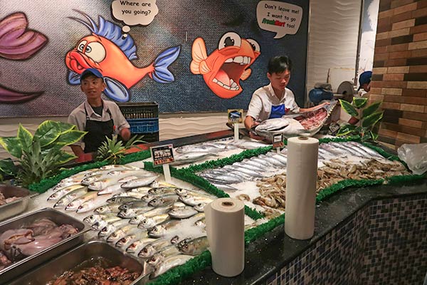
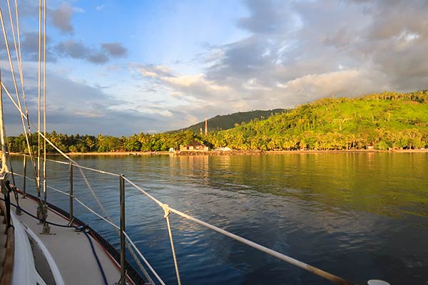
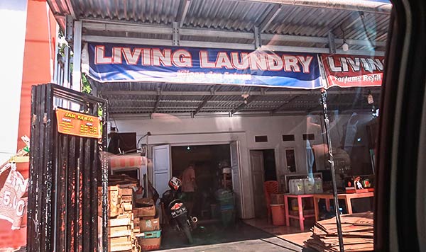
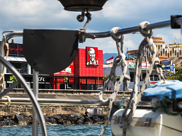
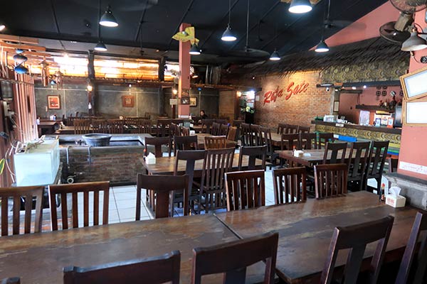
Here are some pictures showing some of the places on the above map…

And now, in no particular order, we bring you some Manado highlights (at least for us).





If you find this information useful, or entertaining, perhaps…


