Posted May 5, 2023
about September 10, 2022
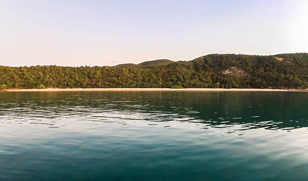
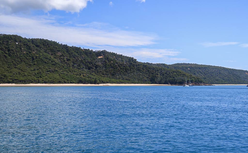
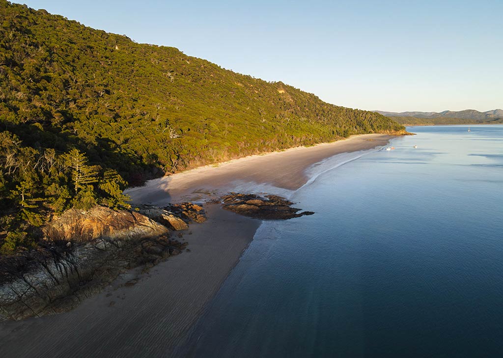
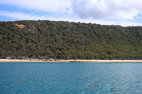
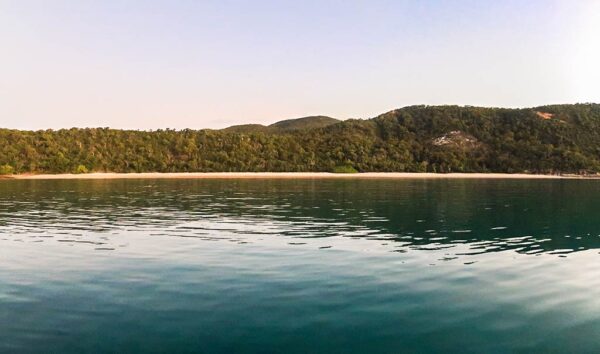
Once inside the islands, Pearl Bay looked like a fairly large anchorage. One standout feature was its beaches, actually a six-mile long stretch of sand that was divided into five separate beaches by rocky points.
The most striking feature, though, was the long, steep, and densely-vegetated hillside area that backed the beaches. Everything here seemed to be on a large scale, giving the area a sense of grandeur.
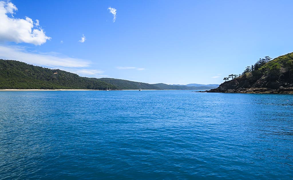
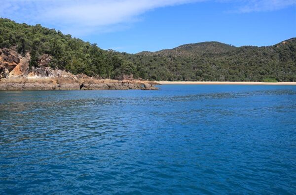
We anchored at the south end of Pearl Bay where the headland curved around towards the south island, creating a pretty half-circle bay with a north-facing beach. This little bay was partly divided from the rest of Pearl Bay by a reef under the water. We had opted for this spot as, in a sense, it felt like having our own anchorage.
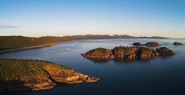
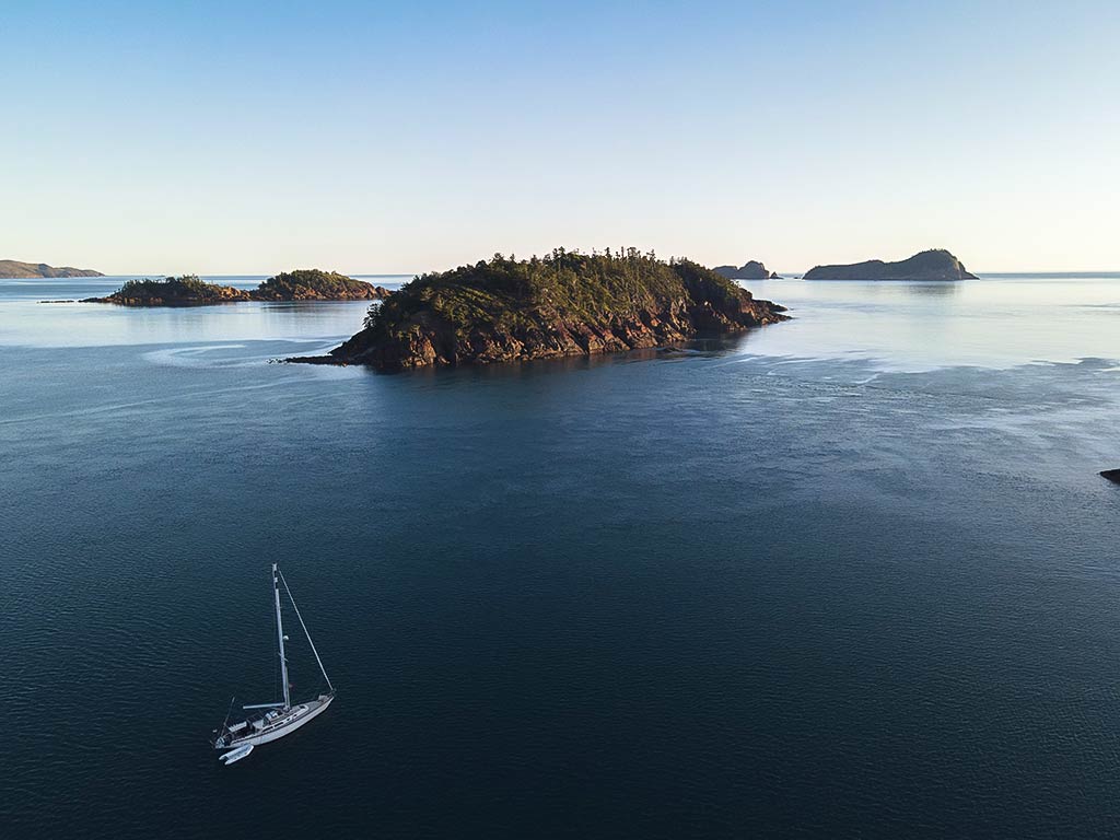
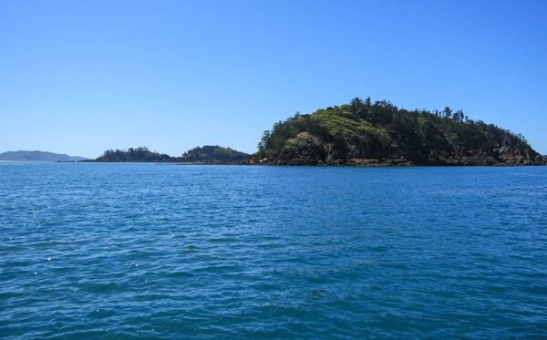
Off to the north, the beaches ended at a large headland. From our viewpoint, the offshore islands seemed to overlap with each other and this headland, creating the illusion that we were nearly landlocked. This gave the anchorage a cozy feeling in spite of its size. In all, this place was, as advertised, beautiful and special.
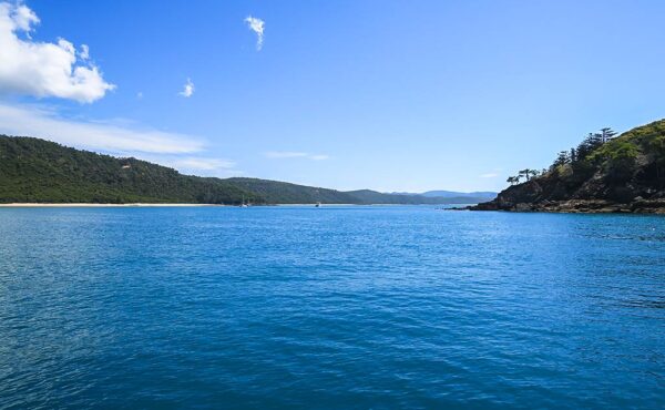
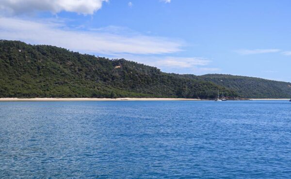
Below, photos of Pearl Bay, including the approach to our south end anchorage behind the headland, the overlapping islands just northeast of us, and an early evening shot taken from our boat. (Click any photo to enlarge.)
Early the next morning we used our drone to get some photos from above.
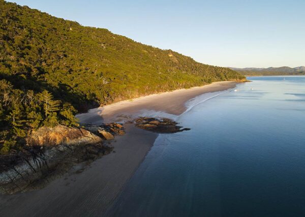
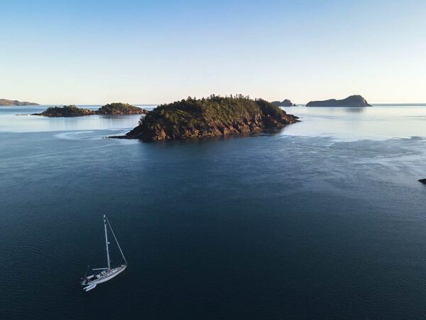
Including a panorama from a distance which should convey a feeling for the size of this bay.
Finally, a Google Map of the bay…
Below, a map of Pearl Bay.

