February 11, 2014
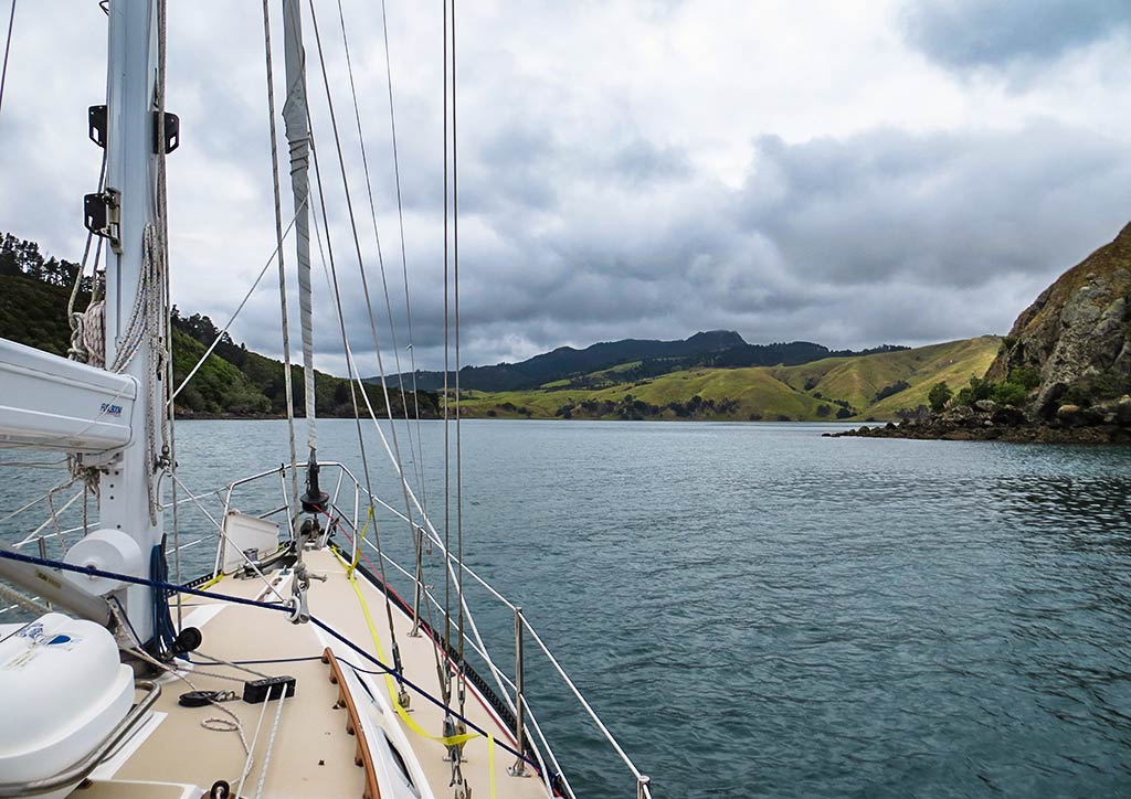
Our next destination was Te Kouma Harbour, less than a mile from us. It would only take 10 minutes to get there, but since we needed to run the engine awhile to make more electricity, we decided to motor around and take a look at the next harbor south, Manaia Harbour. It had been described as shallow and full of mussel farms so not a place we intended to anchor, but we thought it might be interesting to see. Below, a map of the area we intended to cover on our way to the next anchorage.
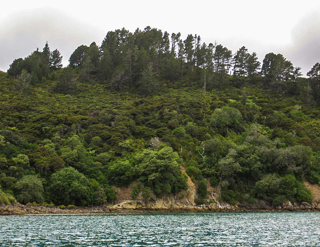
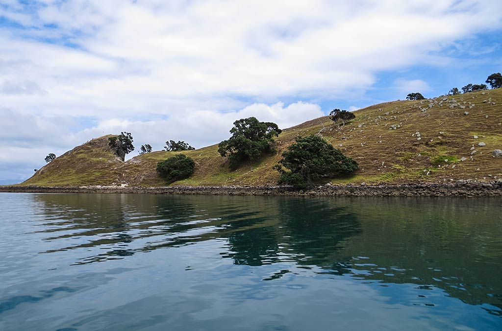
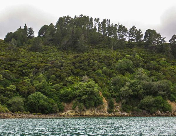
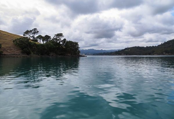
The morning was overcast and dreary as we left Rangipukea Island headed to the Coromandel mainland. We did motor by Manaia Harbour and it was as described: full of mussel farms and not appealing. What was appealing, though, was an anchorage nearby. We were heading for a small pass between the mainland and Tataweka Island (on map above) when I noticed a beautiful spot: an indent of still, dark water surrounded by pine-forested mountains, looking both dramatic and peaceful under the moody-gray sky. I felt we’d been suddenly transported to the coast of British Columbia! It was pretty majestic and I was tempted to suggest we stop, but we were on a rather tight schedule at this point. So I said nothing as we continued on to Te Kouma Harbour.
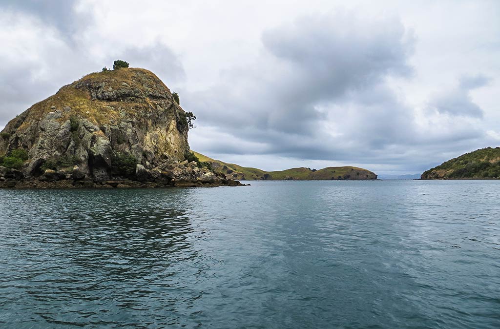
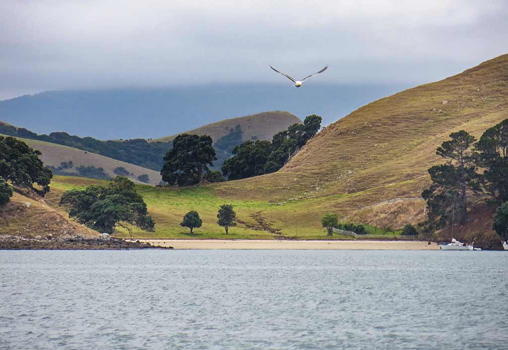
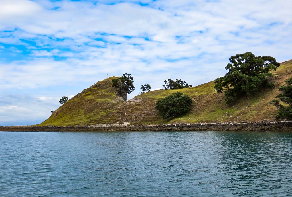
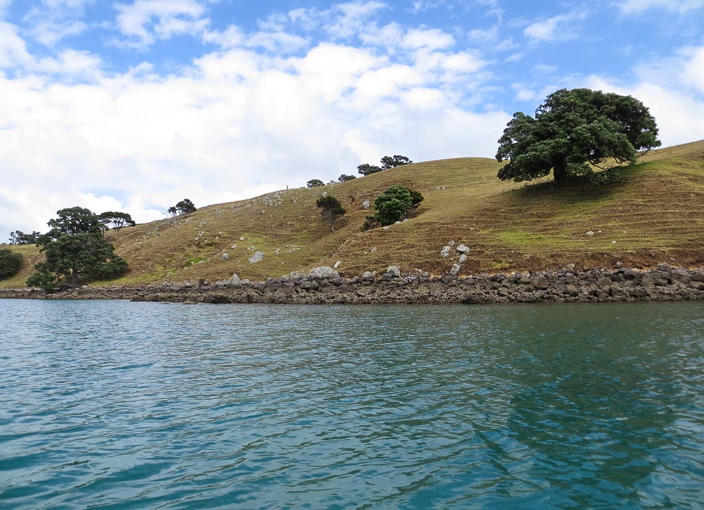
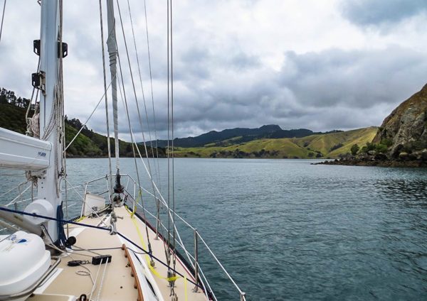
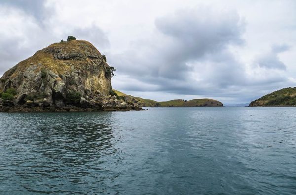
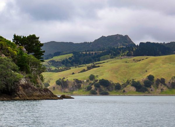
Below, a few photos we took while motoring around, including the intriguing anchorage in the last photo (click to enlarge any photo in galleries that follow).
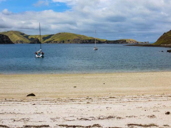
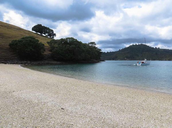
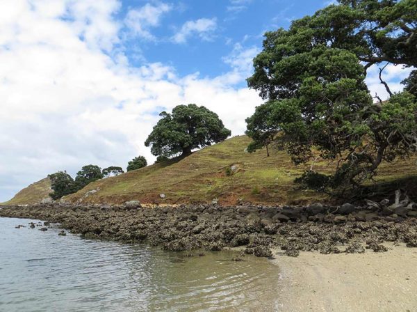
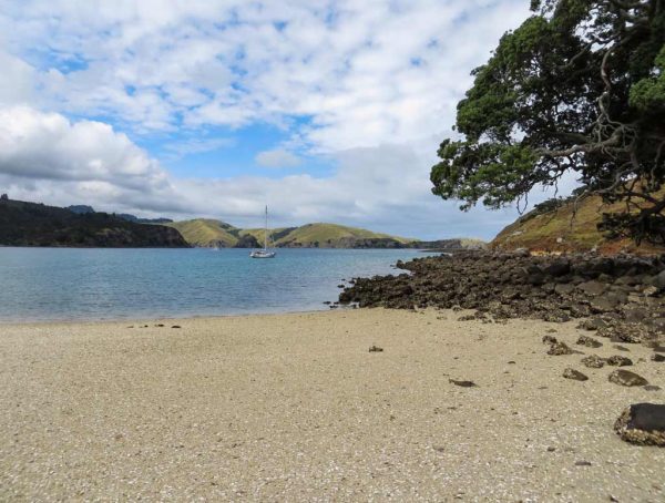
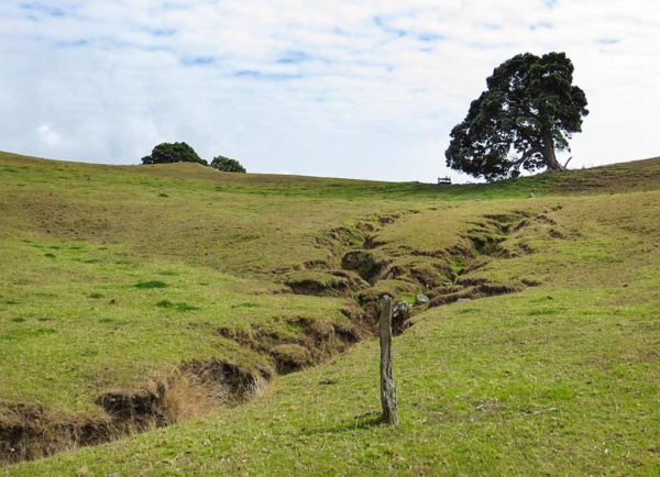
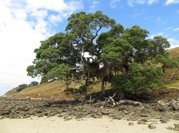
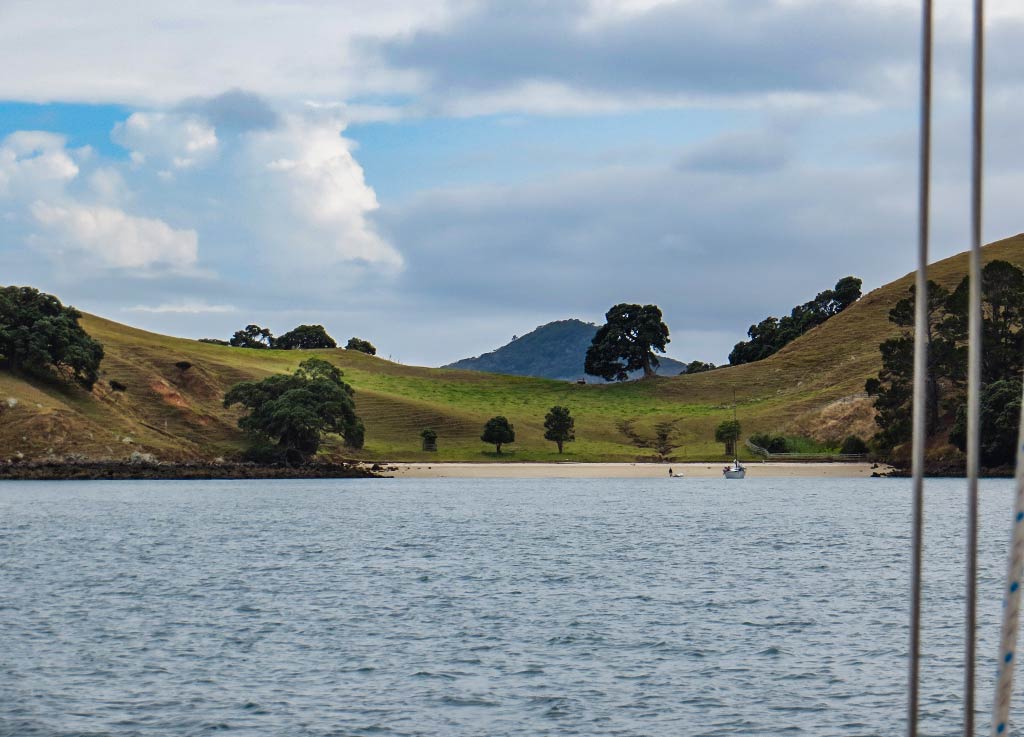
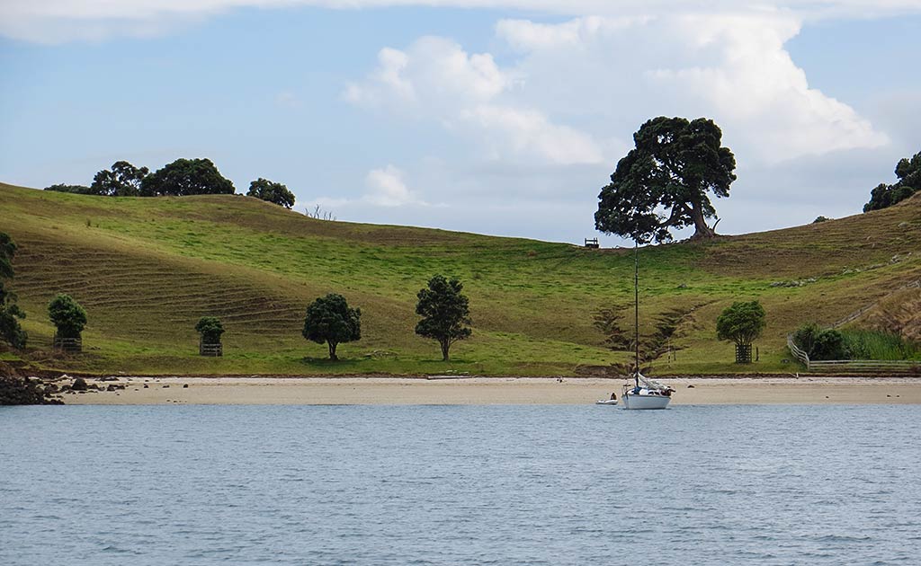
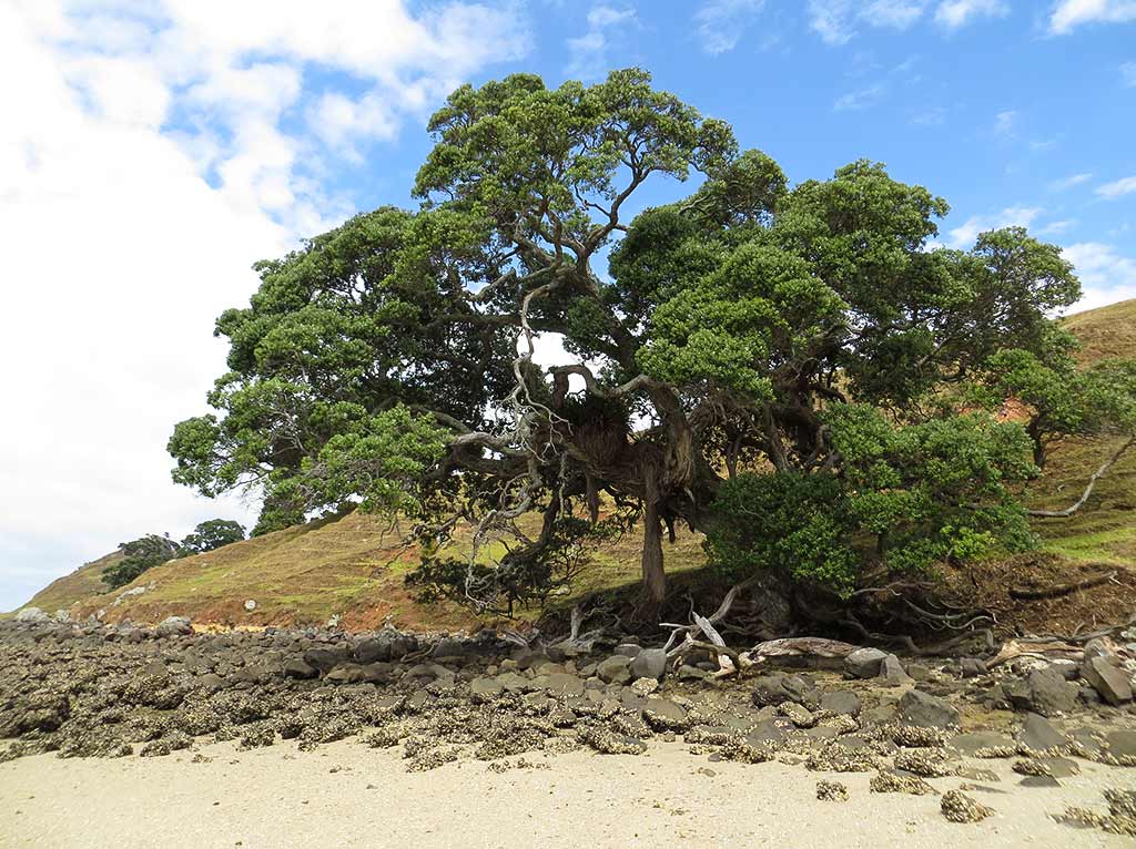
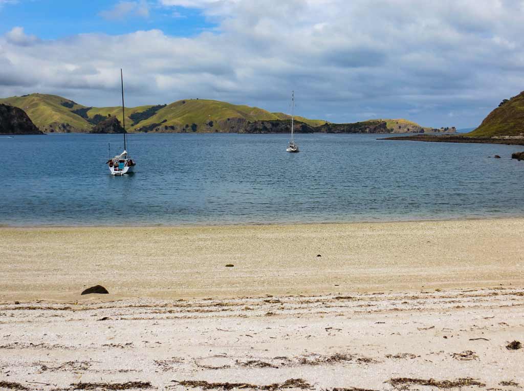
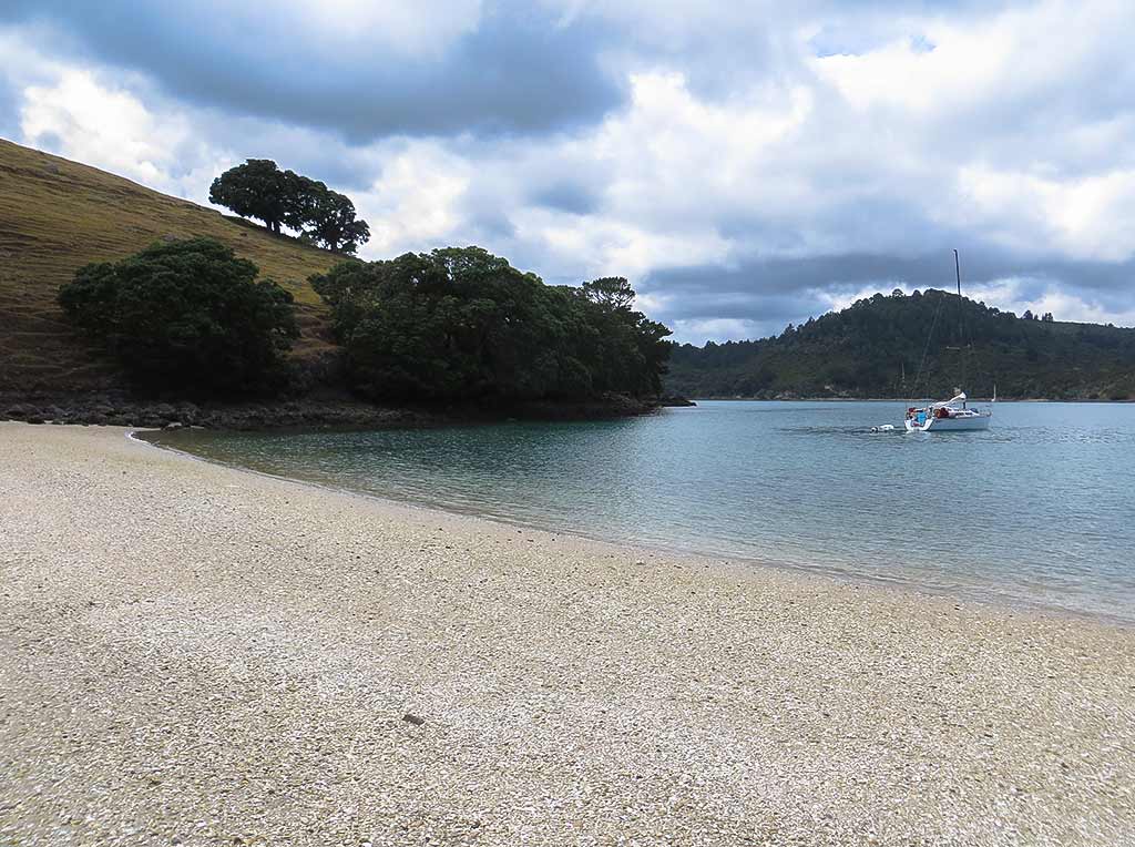
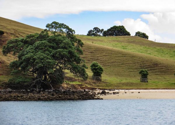
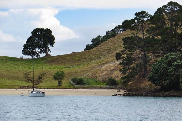
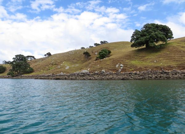
Our plan was to head to a spot called Squadron Bay, the popular second bay in from Te Kouma Harbour’s entry. But then we caught sight of the first bay, a sweet-looking spot with protective sandstone headlands, green-grass hills dotted with pohutukawa tress, and a beautiful white beach. It was so pretty that I could not imagine that Squadron Bay could possibly be better than this! A boat had just left, leaving just enough room for us; so we motored in and dropped our anchor. We could always go check out Squadron Bay later in the day.
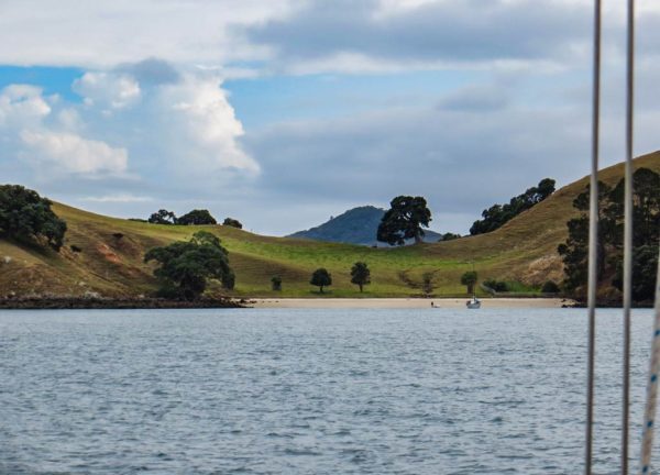
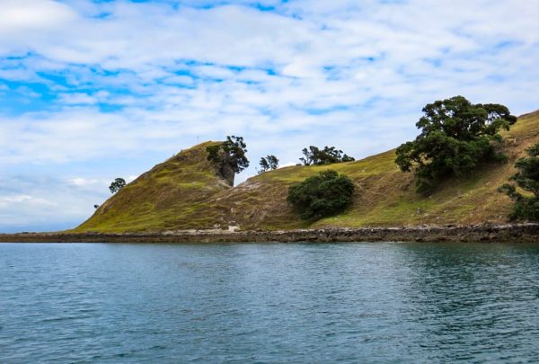
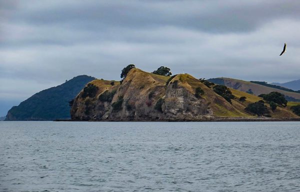
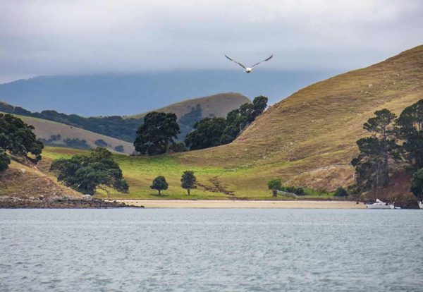
The Coromandel Peninsula may be mountainous and rugged, but it has these Bay of Islands-like coves here and there. What I mean by this is they have pretty green grass hills dotted with beautiful trees and white beaches. The bays aren’t quite as pristine as those in the Bay of Islands, a more rugged version and grazed by cows instead of sheep, but they are very lovely. This was just such a bay. The unbelievable thing was that it didn’t even have a name. How can such a special place not have a name?
Update, October 12, 2023 – A kind reader emailed to tell us that it does in fact have a name: Dip Bay. She lives on a farm there that goes back generations in her family. They named all the bays around their farm.
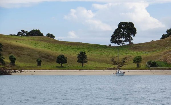
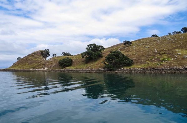
We waited for the gray skies to clear into the forecast sunny afternoon conditions before heading out for a hike to explore the area. When we dragged our dinghy onto the beach, our wheels sunk into the soft white sand. Once we got the dinghy sorted, we took in the view. Wow! Visually, this could hold its own with any of the other New Zealand bays we’d visited, and it was about to get even better on our hike. For now, I’ll add in a gallery of photos of be beach.–Cyndi
