The Astrolabe Roadstead and Stillwell Bay (Able Tasman National Park, New Zealand)

April 24, 2016

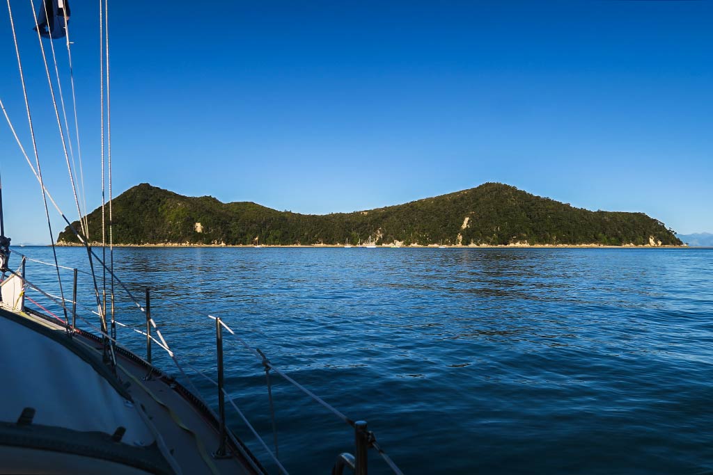
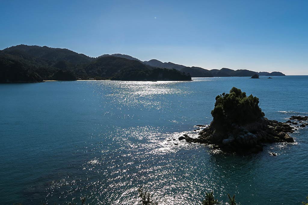
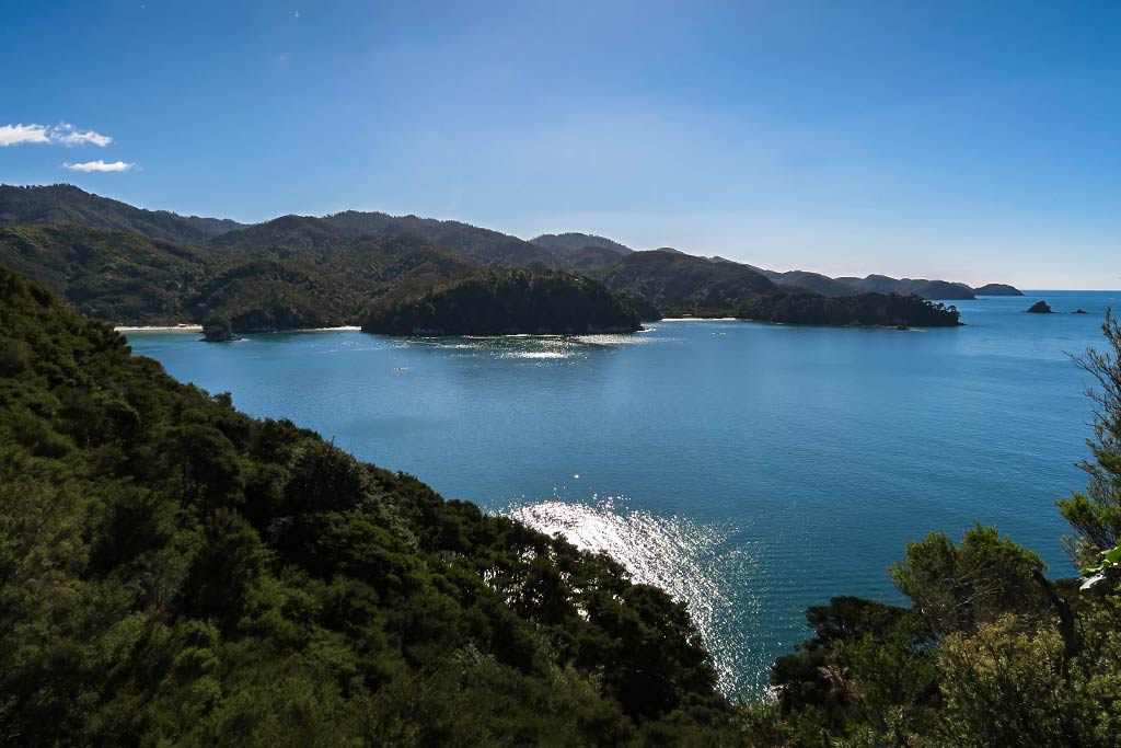
Just south of Torrent Bay is the Astrolabe Roadstead, a channel of water between Adele Island and the mainland.


What makes this area very popular with boaters is Adele Island’s anchorage, relatively protected from all but SW winds (for those you can go to Stillwell Bay on the mainland although it’s not very big).

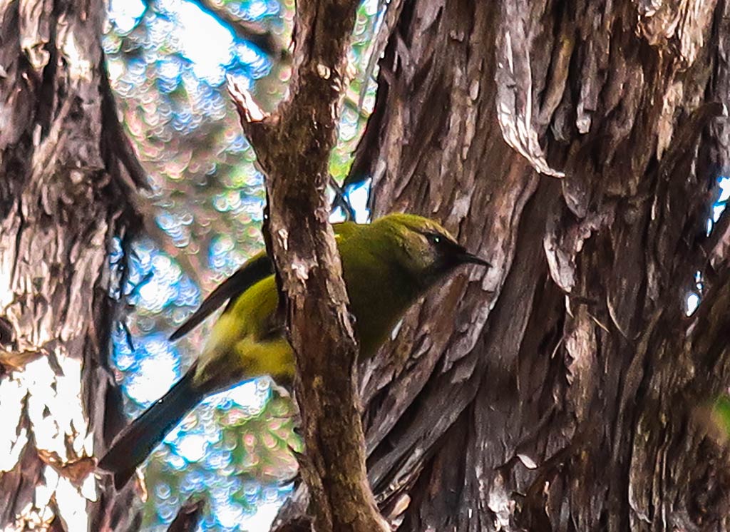
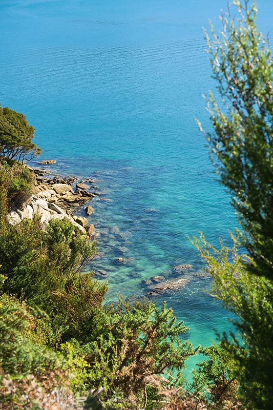
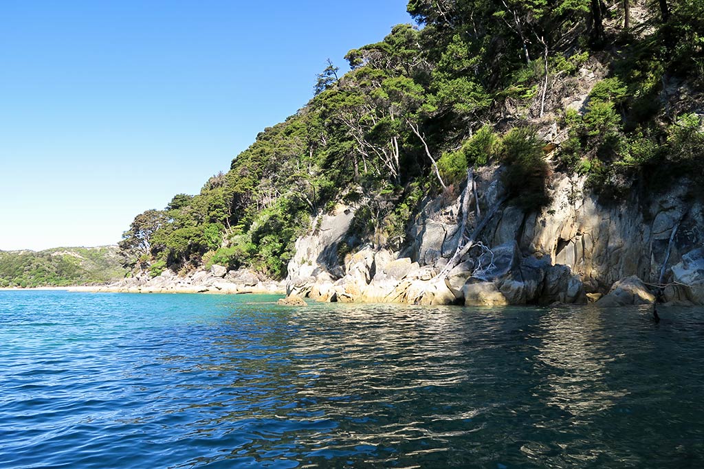
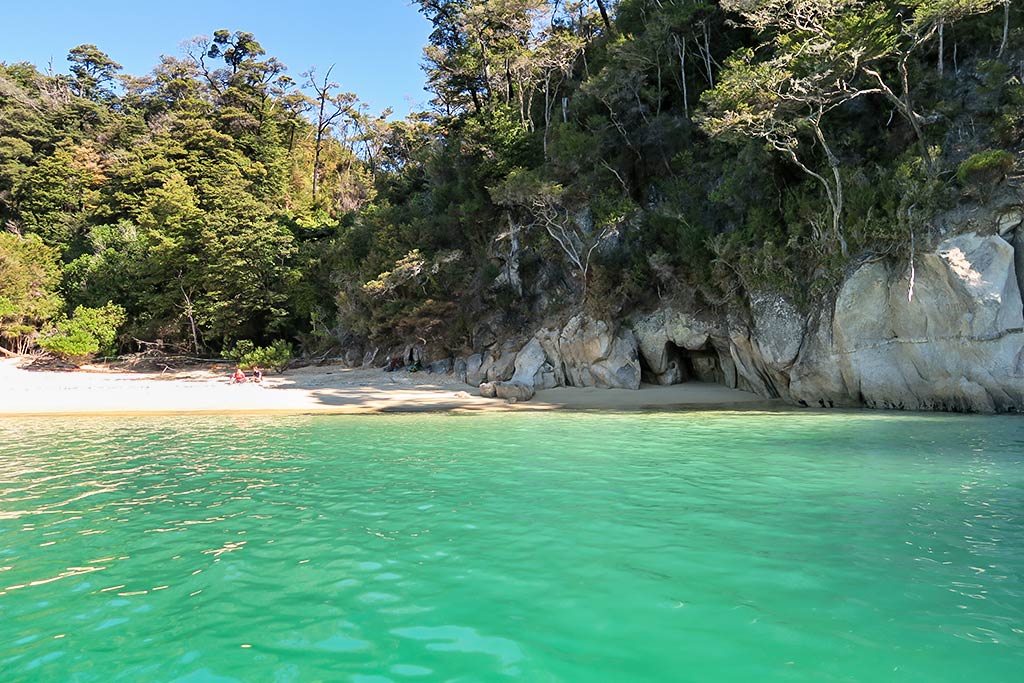
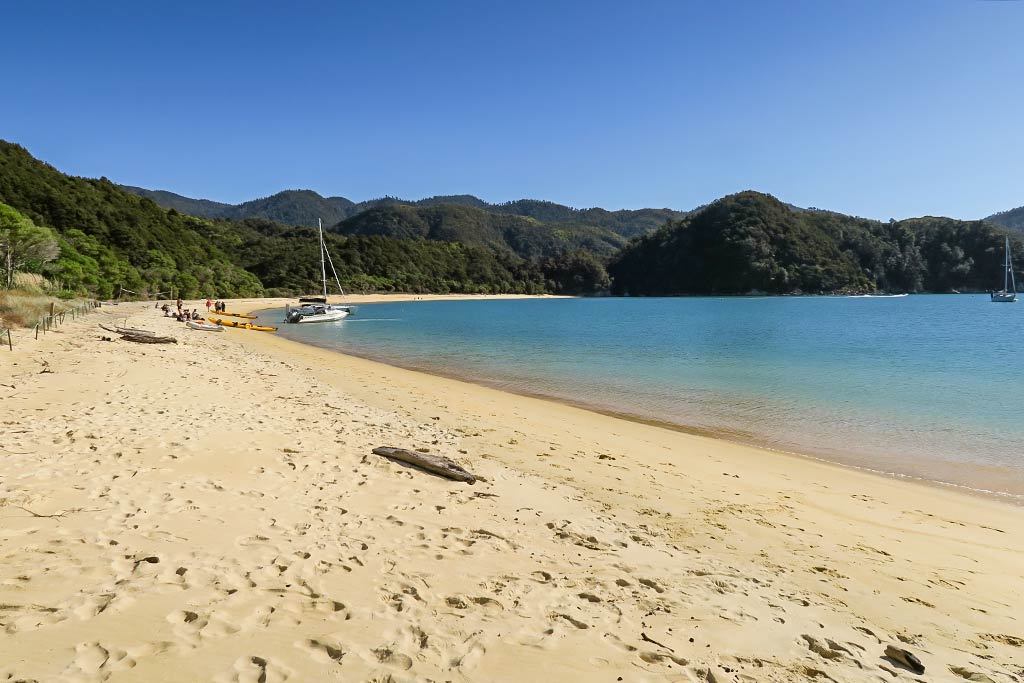
Adele Island itself is a wildlife sanctuary and a “singing island,” where you can wake up to the impressive chorus of native birds that thrive in areas cleared of predators. It’s a popular place for kayaking because if its hidden beaches and fur seals. I don’t know of any hiking trails or whether visitors are allowed to walk around much on the island; but since I can’t find any information about that, I suspect not.

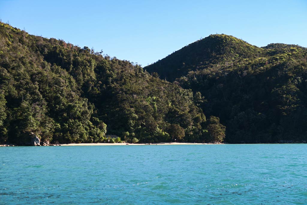
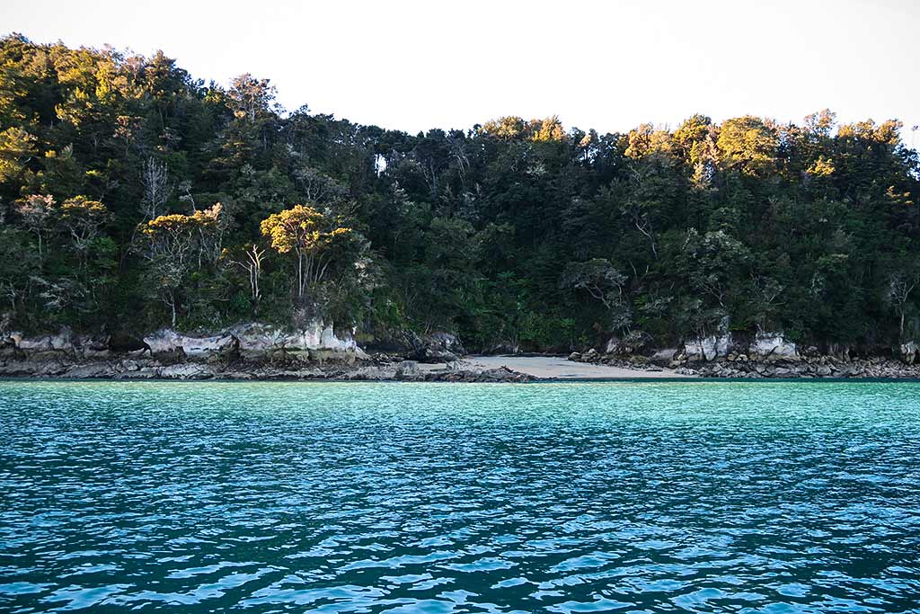
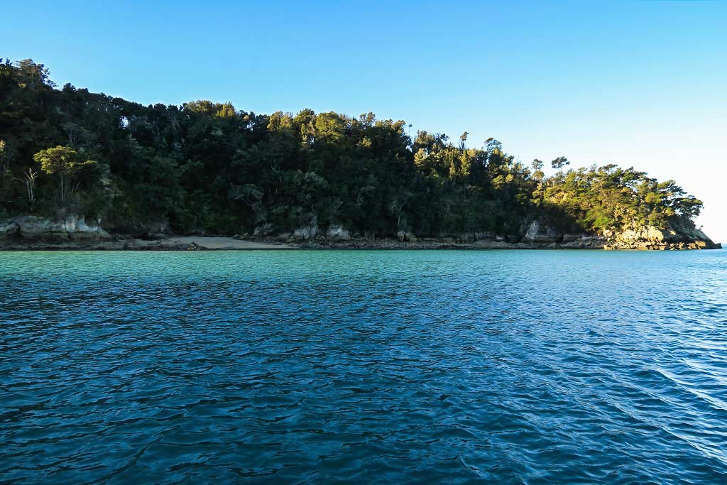
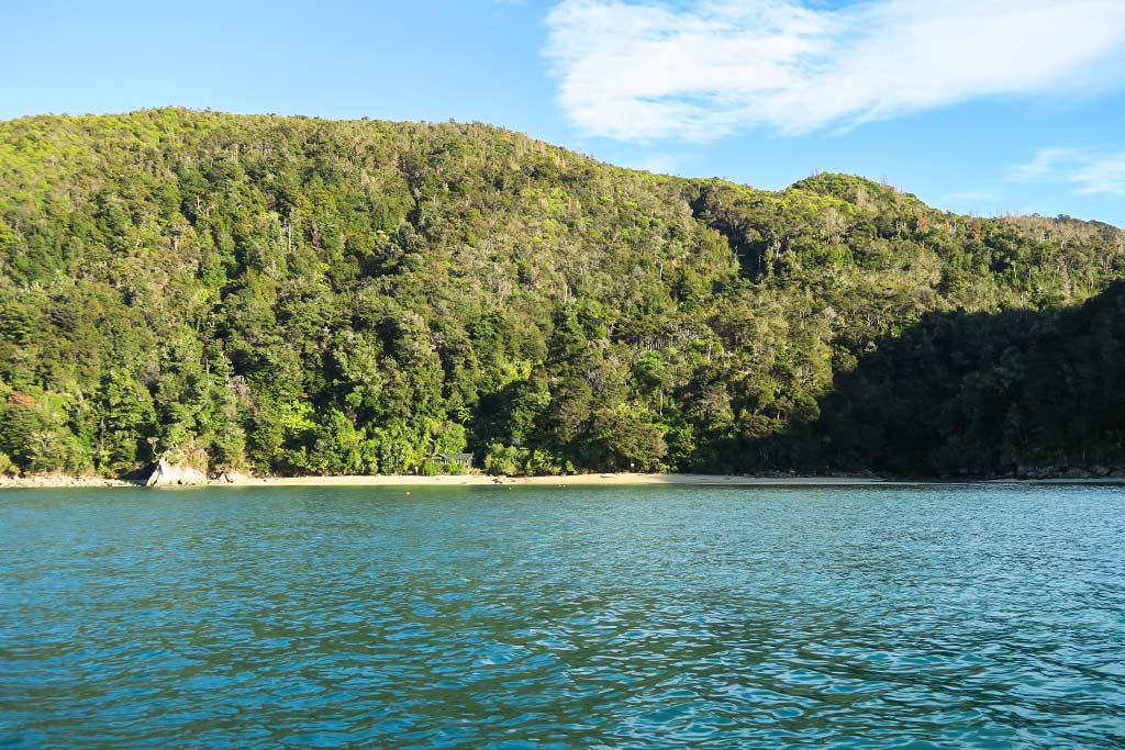
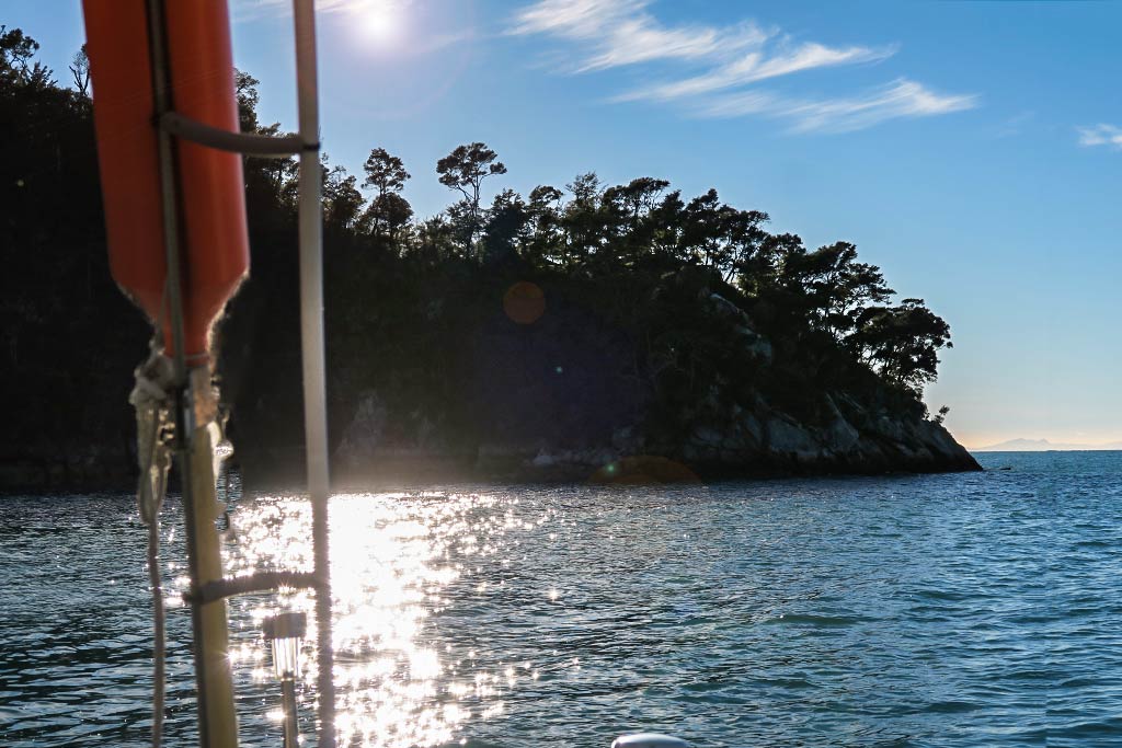
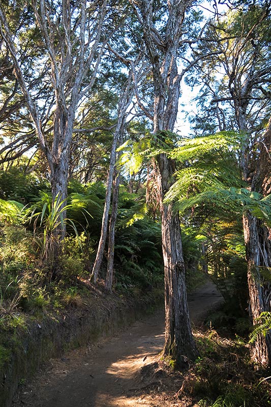
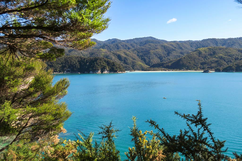
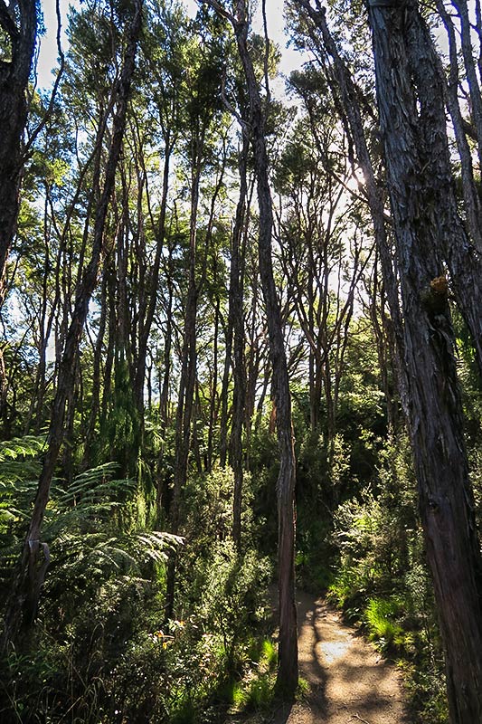
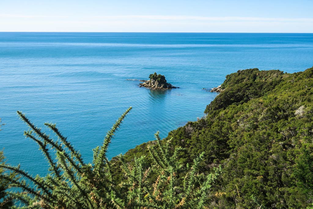
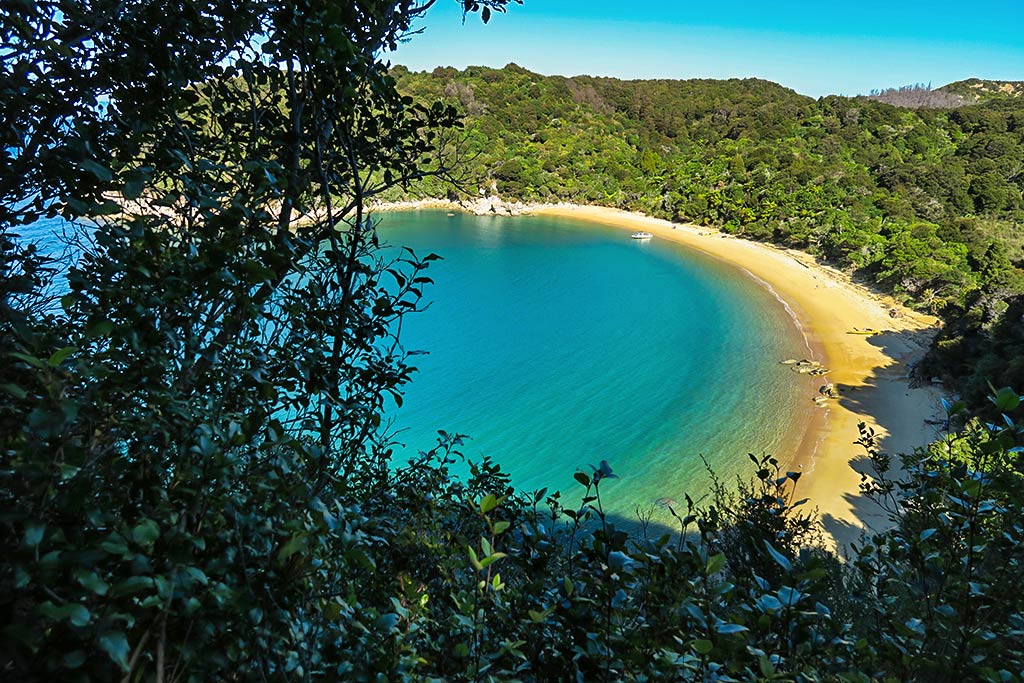
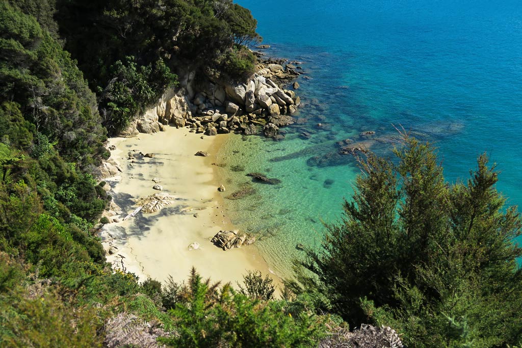
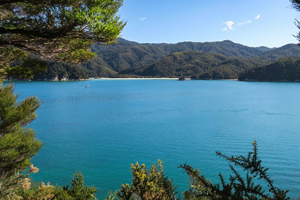
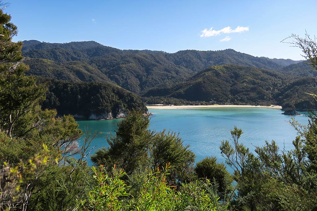
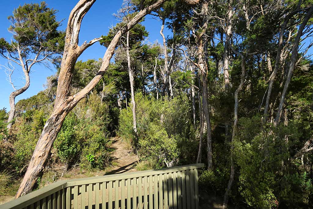
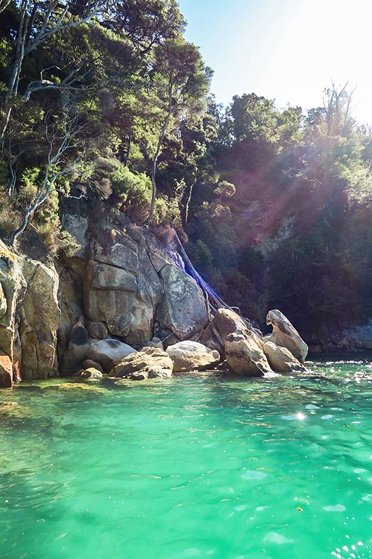
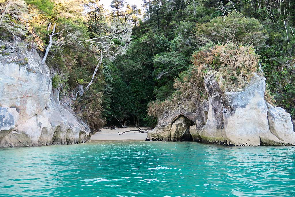
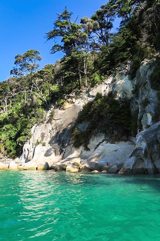
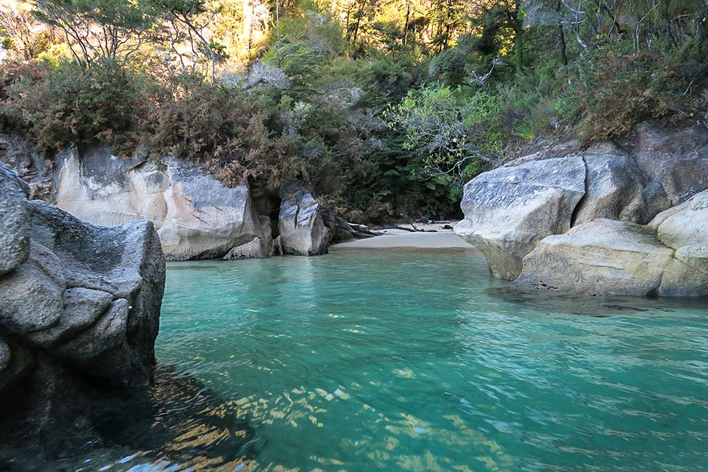
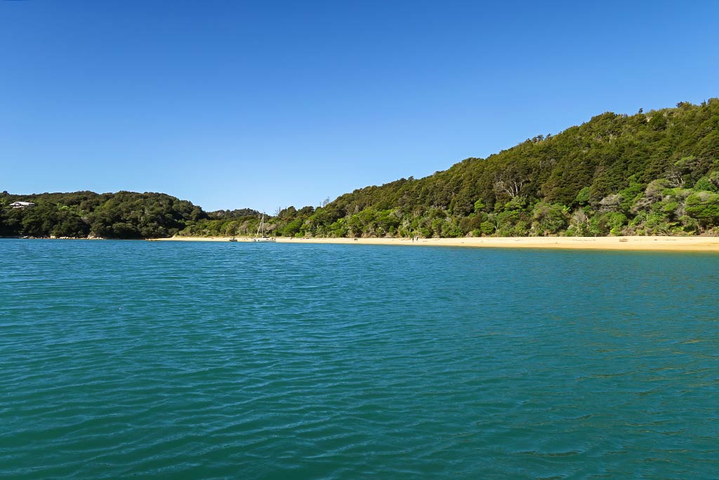
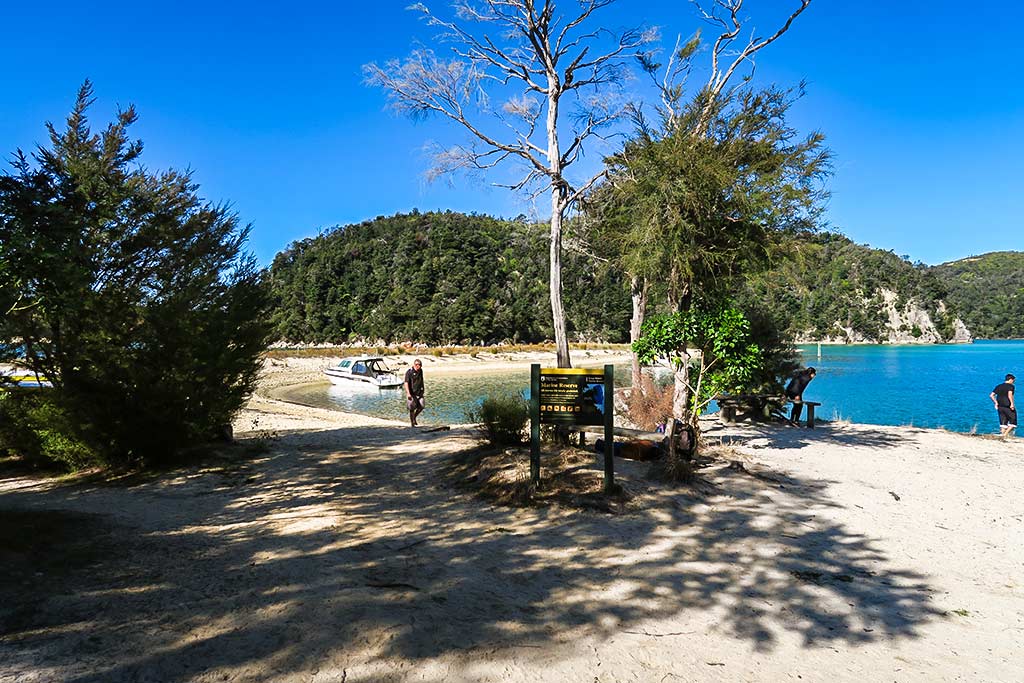
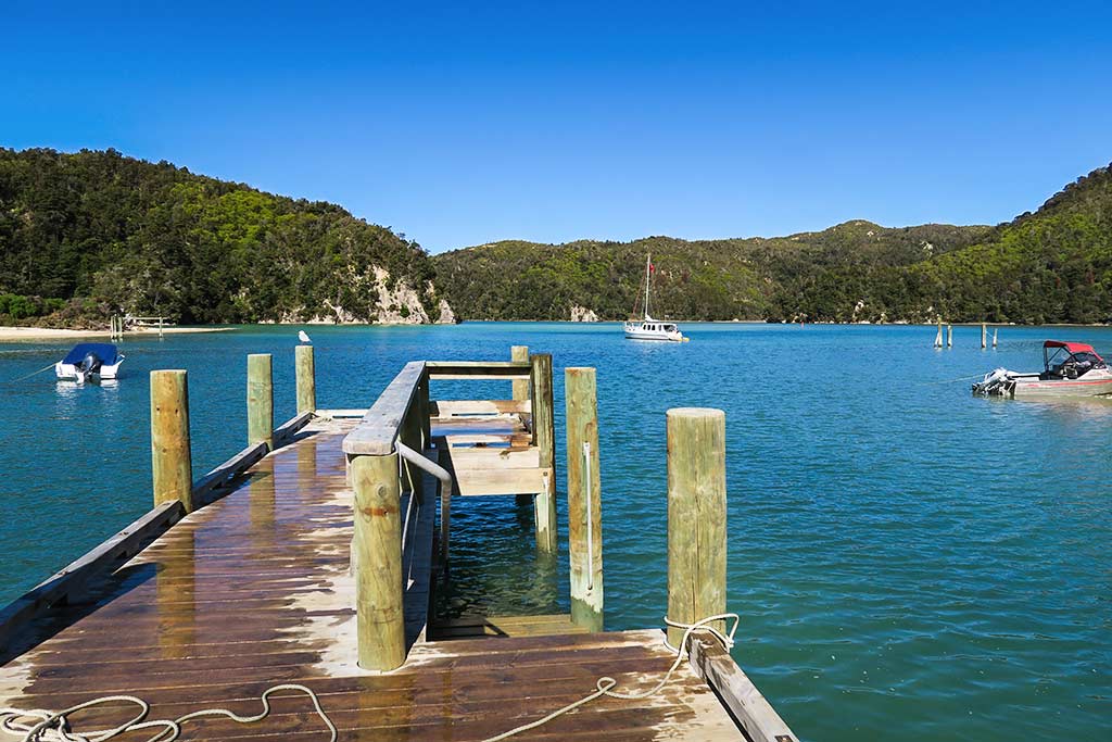
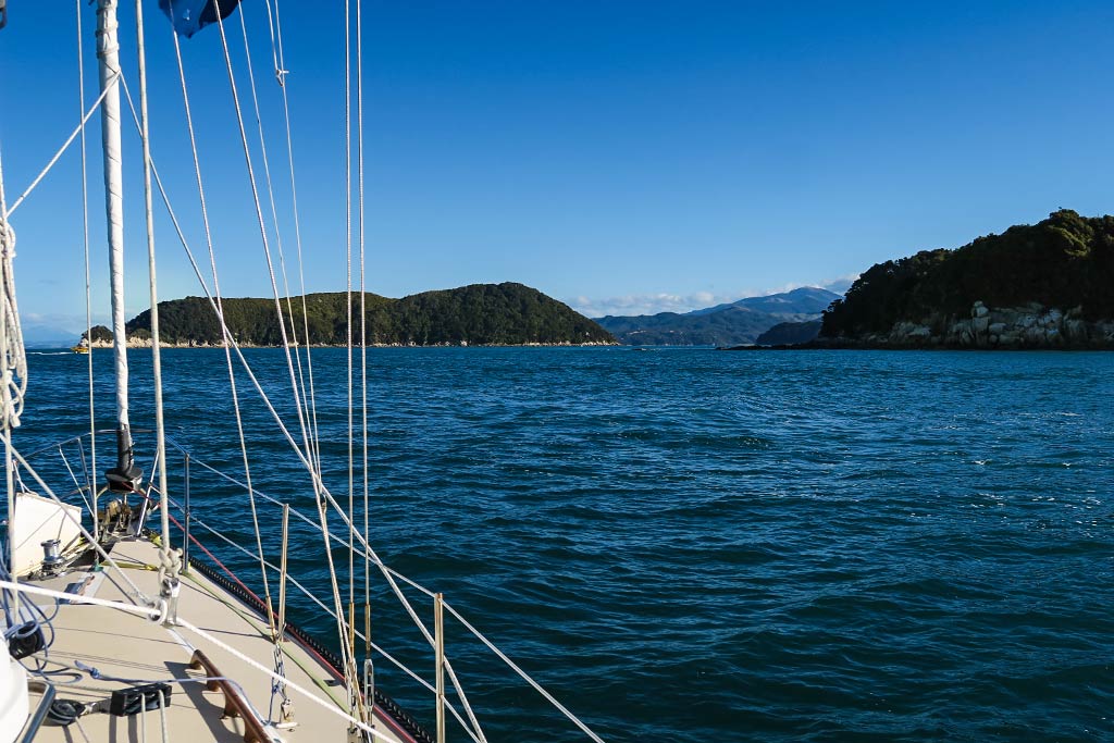
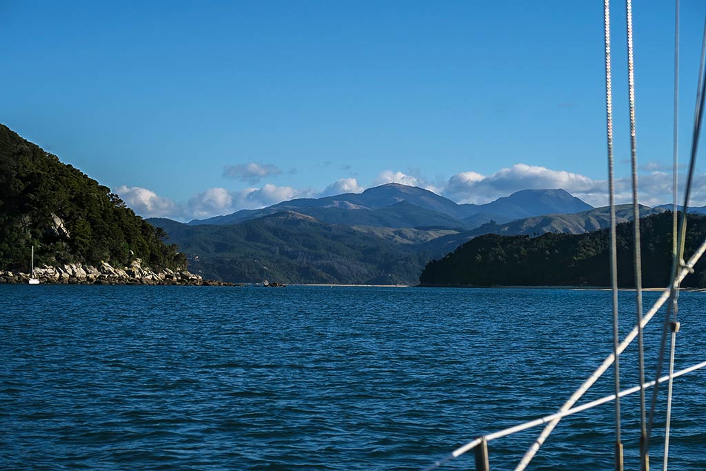
Below, a gallery of photos from our trip south past Te Puketa and Adele Island (click to enlarge/scroll).

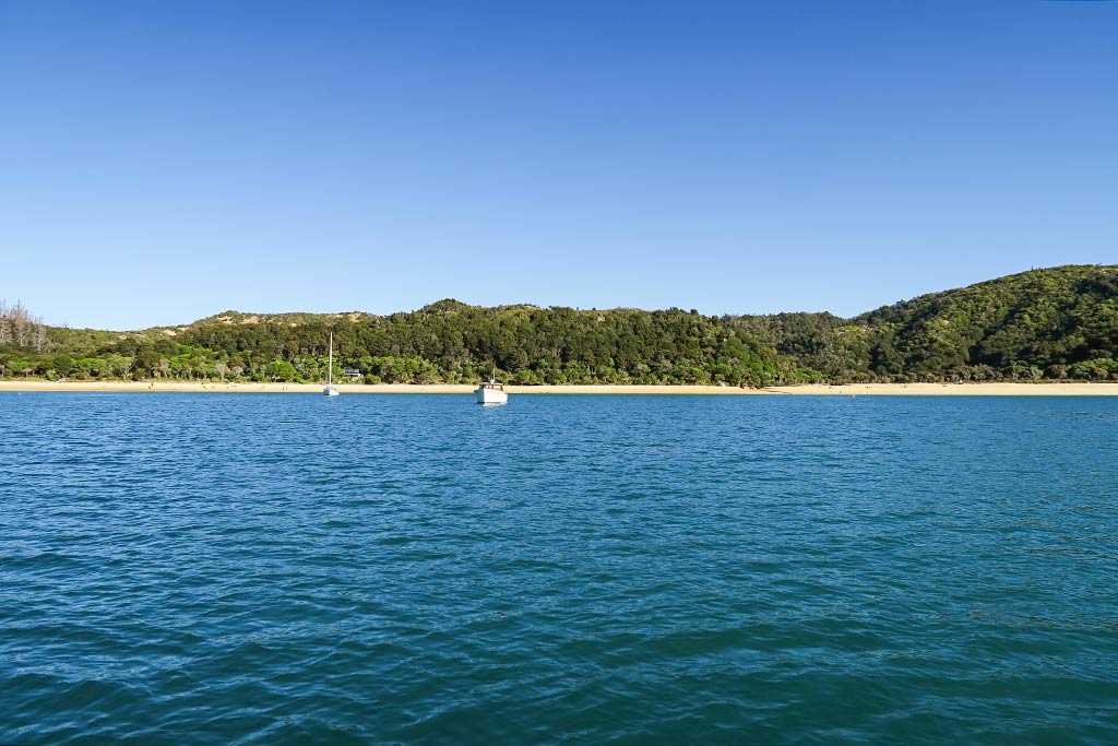
We weren’t quite sure whether we’d go to Adele Island or across to Stillwell Bay. Adele Island is just a place everyone seems to go, and I would love to have heard the birds. On the other hand, a light southwesterly wind was forecast and we’d probably be most comfortable at Stillwell Bay. The decision was made when we saw Adele Island had a lot of boats while Stillwell Bay was empty. We preferred empty.

(Click image to enlarge.)

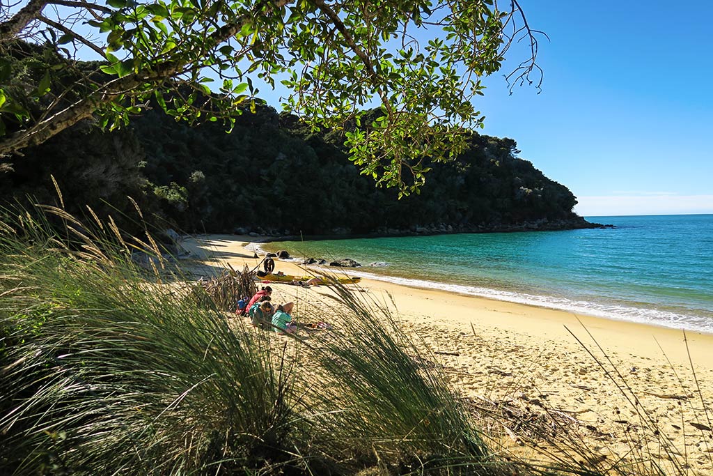
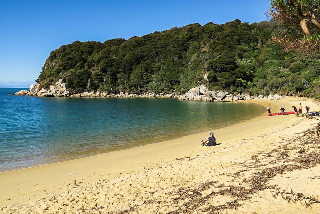
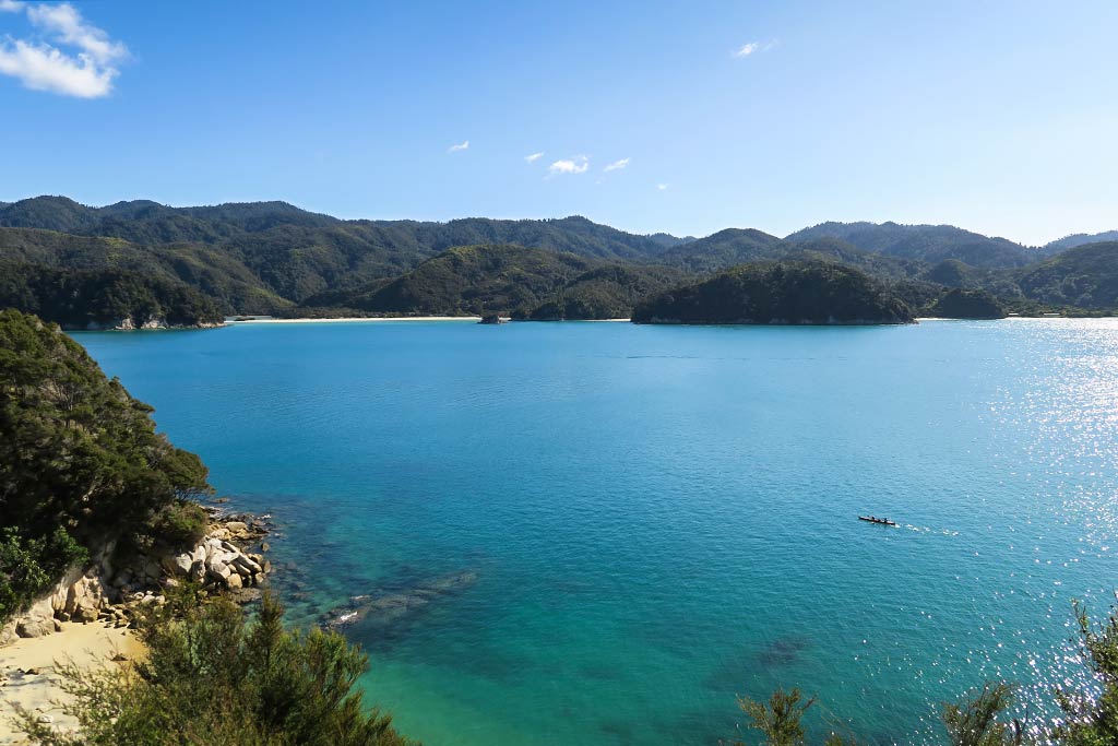
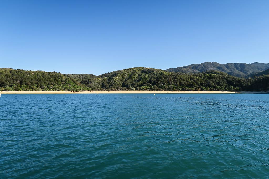
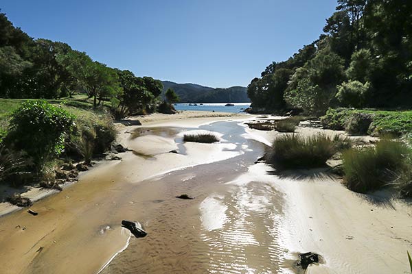
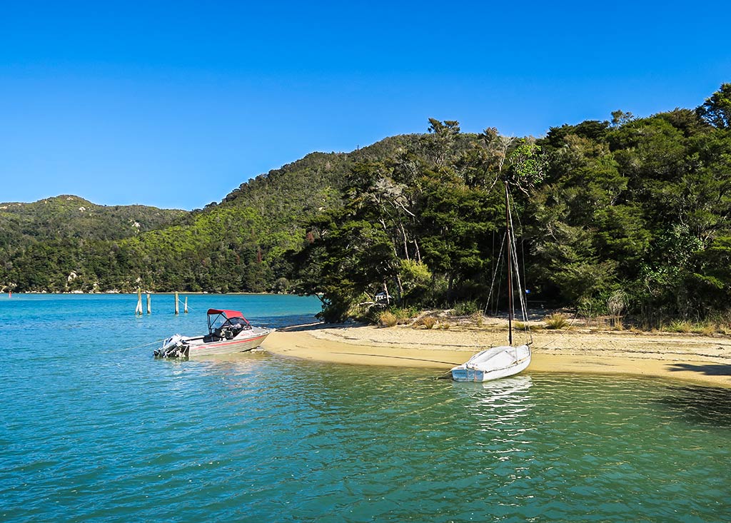
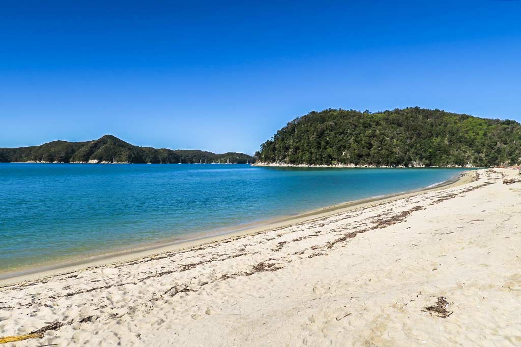
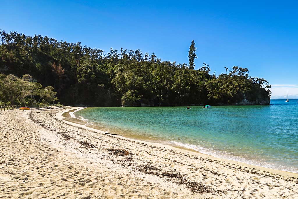
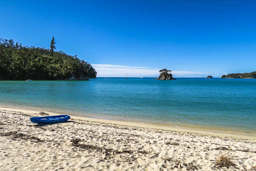
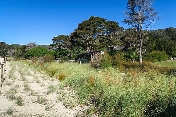
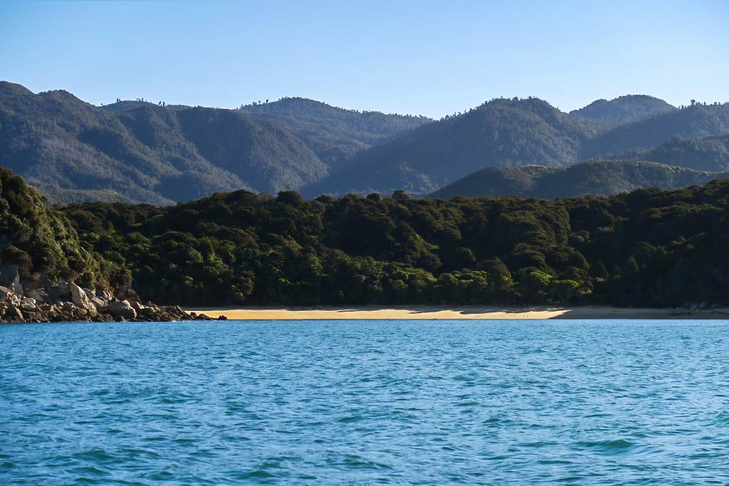
Stillwell Bay turned out to be lovely, with a long headland and a pretty beach. We had a great view of Adele Island, too. During the night those predicted southwesterly winds showed up, making us glad we’d decided not to anchor off Adele Island. Below, a gallery of Stillwell Bay photos (click to enlarge/scroll). –Cyndi

Hiking to Te Pukatea Bay and the Pitt Head Lookout (Torrent Bay, Able Tasman National Park, New Zealand)

April 24, 2016

Technically this walk is considered the Pitt Head Loop Track (the Te Pukatea Track is just a section of it). The entire walk takes about 1 1/2 hours or more, depending on how much a person cares to linger in any given spot before their husband tells them enough already! It’s a bit lengthy, but the beautiful views, singing birds, coastal forest, and gorgeous Te Pukatea Bay make it well worth the effort.

(You can click to enlarge/scroll through the galleries that follow.)

Our trek began with an uphill climb amid trees and a chorus of bellbirds (rare outside bird sanctuary areas)…

Eventually we split off onto the Te Pukatea Track, which took us down a hill to the much-photographed Te Pukatea Bay. There’s a good reason for this: Te Pukatea Beach is the quintessential perfect Abel Tasman beach with forested hills and a rim of golden sand surrounding clear turquoise and green water…

From this beautiful beach we climbed a hill, rejoining the Pitt Head Track to its spectacular viewpoints near the tip of the peninsula…

(Click picture to enlarge.)

On the walk back we took a small unmarked trail, a bit overgrown, and were surprised to find a sizeable wooden platform with impressive views of the entrance to Torrent Bay. Wow, they ought to consider putting up a sign up let people know it’s there…

This walk was a great way to cap off our visit to Torrent Bay. We next planned to take advantage of the nice weather and head south as soon as we got back to the boat.–Cyndi

Torrent Bay Beach (aka Browns Beach) (Able Tasman National Park, New Zealand)

April 24, 2016

Below, a close-up map of Torrent Bay.


We decided to make our way to the beach at the head of the bay, hugging the shoreline where pretty white rock formations surrounded tiny green coves…

We then rode along Torrent Bay Beach, a long stretch of golden sand, to its east end where we landed the dinghy…

We wanted to find a trail called the Te Pukatea Track, a hike along the peninsula that forms the east side of Torrent Bay. When we asked a local where the trail was, he told us how to find it, then gave us what turned out to be great advice: make sure to take the trail all the way to the lookout at the end of the peninsula. Since it was already a 40-minute walk to begin with, I’m not sure we would have walked the extra distance if we hadn’t been urged to.

While I’ve been taking swipes at some of the bad advice we’ve gotten from locals, I’d like to express appreciation for the great advice we’ve gotten, too, usually delivered in the form of an offhand, casual suggestion that ends up making all the difference. Below are a couple of photos locating the trail, across a small bridge over a riverbed.–Cyndi

browns-trail-1

browns-trail-2

Nature’s Cleat

April, 2016

natural-cleat

Isn’t it nice when nature is kind enough to provide the perfect cleat!? This one was in the Abel Tasman, by a trail we wanted to walk on. We were able to step from the dinghy to the bottom step of a staircase leading up to the trail without getting our feet wet. Thanks Nature! And, oh yea, thanks NZ for another great trail. -Rich

Torrent Bay Township (Able Tasman National Park, New Zealand)

April 24, 2016

This “township,” as the Murray guide terms it, has two beaches to choose from. There’s the inner beach at the lagoon . . .

Then there’s the outer beach along Torrent Bay . . .

Both are pleasant enough, although not as special as other beaches in the park. Our main reason for visiting here was to look for a place to get a coffee drink. All we found, though, were a few vacation homes and a camping area. Apparently “township” is code for “forget about finding any coffee here!” –Cyndi

This photo pretty much sums up what the township at Torrent Bay looks like. Pleasant enough, but no coffee.