October 4, 2015
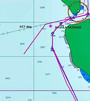
I wish I’d been more careful with my chartplotter tracks during the first part of this trip. I didn’t care much because I thought I’d never be back to the places we’d been, but I was wrong.
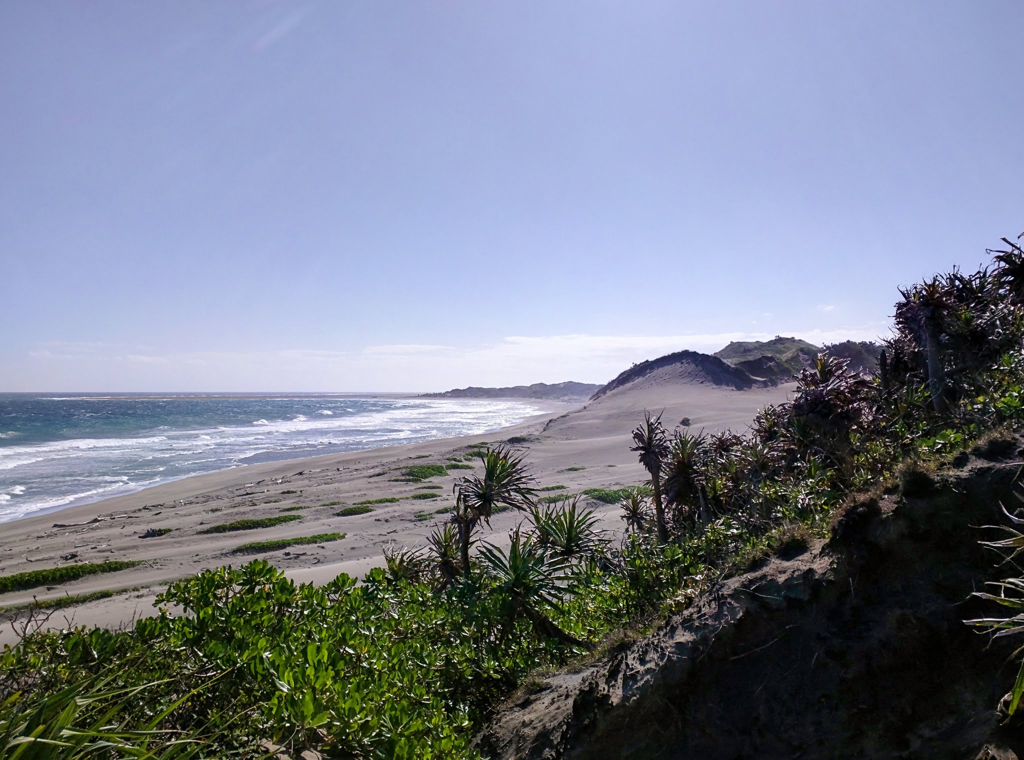
This is our third season in Fiji, we’ve been to Tonga twice, NZ twice and New Cal twice.
To state the obvious: traveling through reef-infested waters is so much easier when you’re traveling on a track you’ve already successfully navigated.
As you can see in the photo above, our chartplotter, like most, only stores so many track points before it starts eating the earlier points. Now, I regularly save tracks, backing them up on our computer. I wish I’d done this all along!
Come on marine manufacturers! Give us some memory. Even 1 GB of storage for routes, tracks and waypoints, with each point taking 10 bytes and recording a route point every five seconds, would last over 38 years of continuous running. 1 GB isn’t that much anymore. Cheapskates!
Until they come around, I’ll keep backing up tracks on my computer.
And speaking of tracks, routes, waypoints, and backups of the aforementioned…
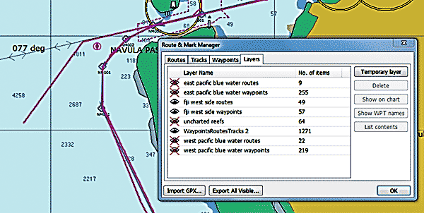 I’ve been using the “layers” feature on openCPN to display my backed up tracks. In the route manager, click the layers tab. There’s a special temporary layer available. If you click on the “Temporary Layer” button, it’ll open a window asking you to select a GPX file (which just happens to be one of the formats our Simrad chartplotter will use to store its backed up data). OpenCPN will display that temporary layer data until the program is closed and reopened.
If you want to make that layer more permanent (as I’ve done with most of the layers in the photo above), store the layer’s GPX file in a folder called “Layers” in the openCPN data folder (C:\ProgramData\opencpn on my computer). Then it’ll be there every time you bring up openCPN. You can make the layer visible or not by clicking on the eye in the layers tab of the route manager.
A big advantage to doing it this way is that these routes can’t be accidentally changed – something I’m always doing. Once you’ve accidentally moved a waypoint, it’s hard to get it back to where it was as openCPN’s undo function doesn’t work so well. (There I go, complaining about an amazing, free program. Ingrate!)
Here’s openCPN’s layers instruction page.
-Rich