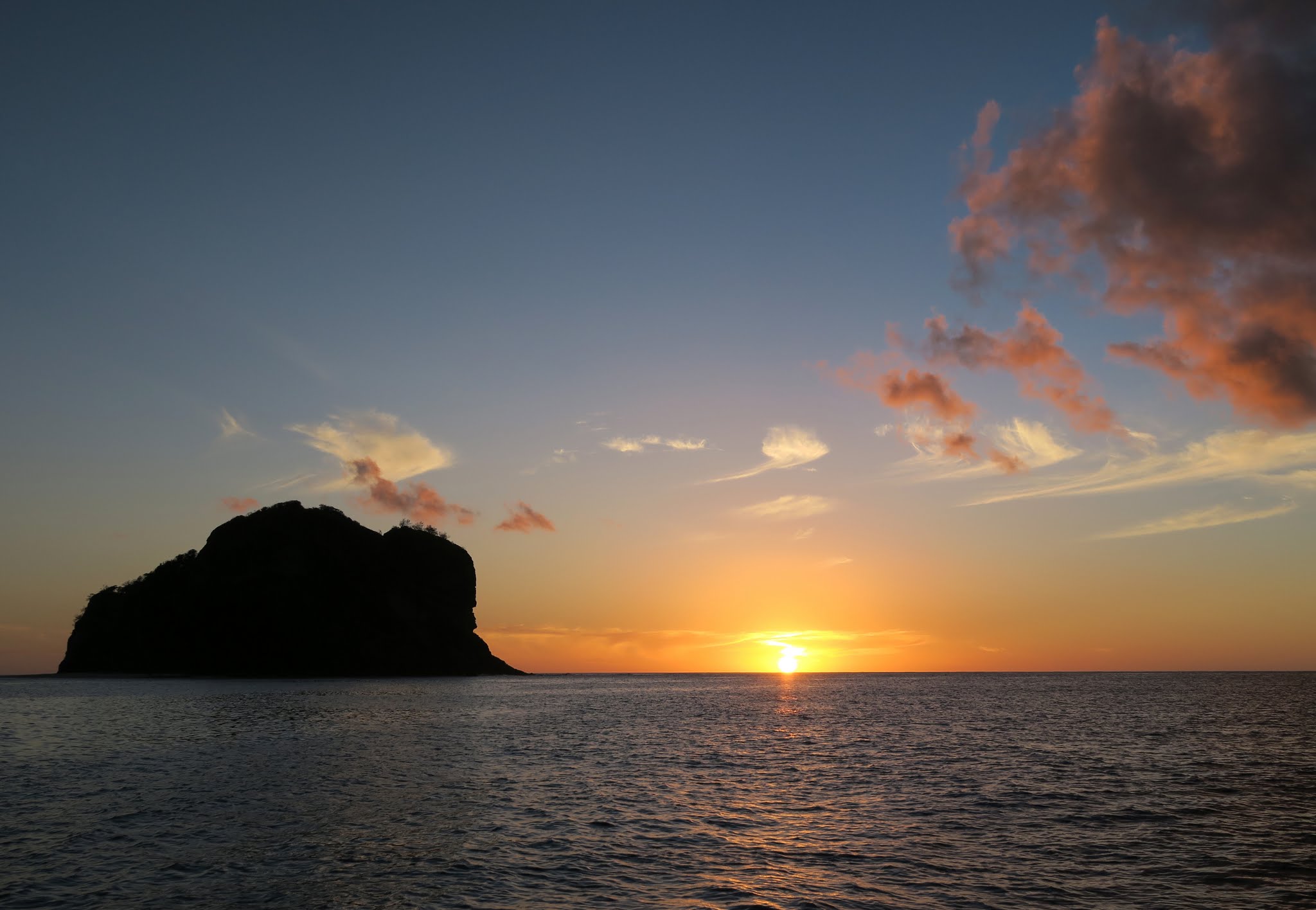
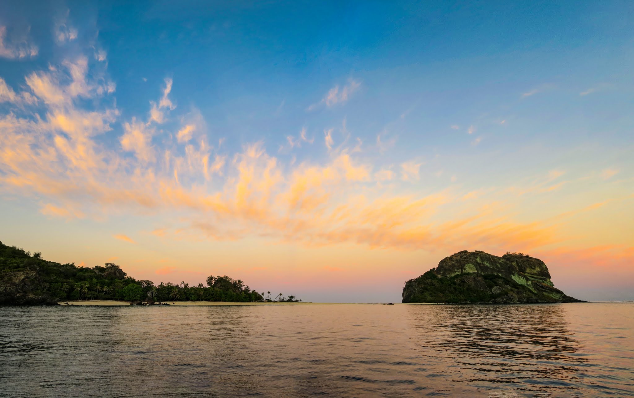
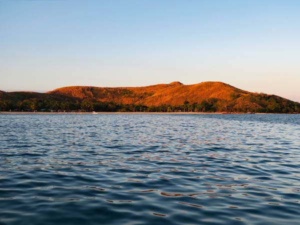
Sometimes you find a spot that’s as beautiful at sunset as it is at sunrise. The Vanua Balavu side of the Navadra/Vanua Balavu anchorage is one of those rare places.
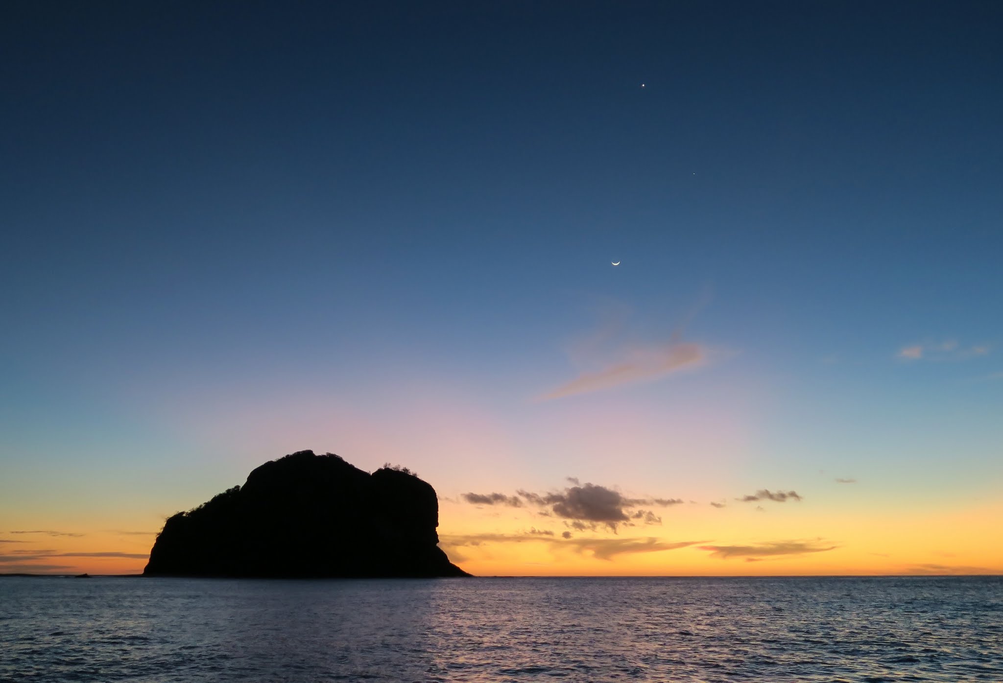
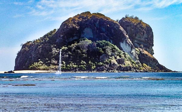
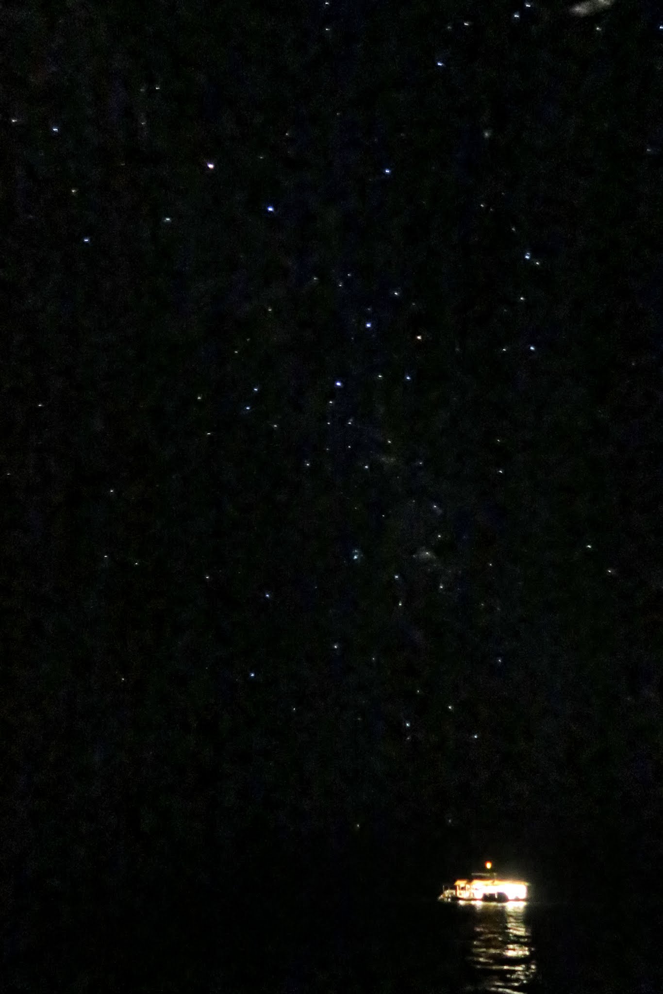
At sunset, the beaches turn pink, and the sun sinks into the sea framed by the big headland rock. Then the first stars begin to appear. Tonight we had Jupiter, Venus, and a crescent moon bright in the evening sky. (Click to enlarge and scroll through photo galleries that follow.)
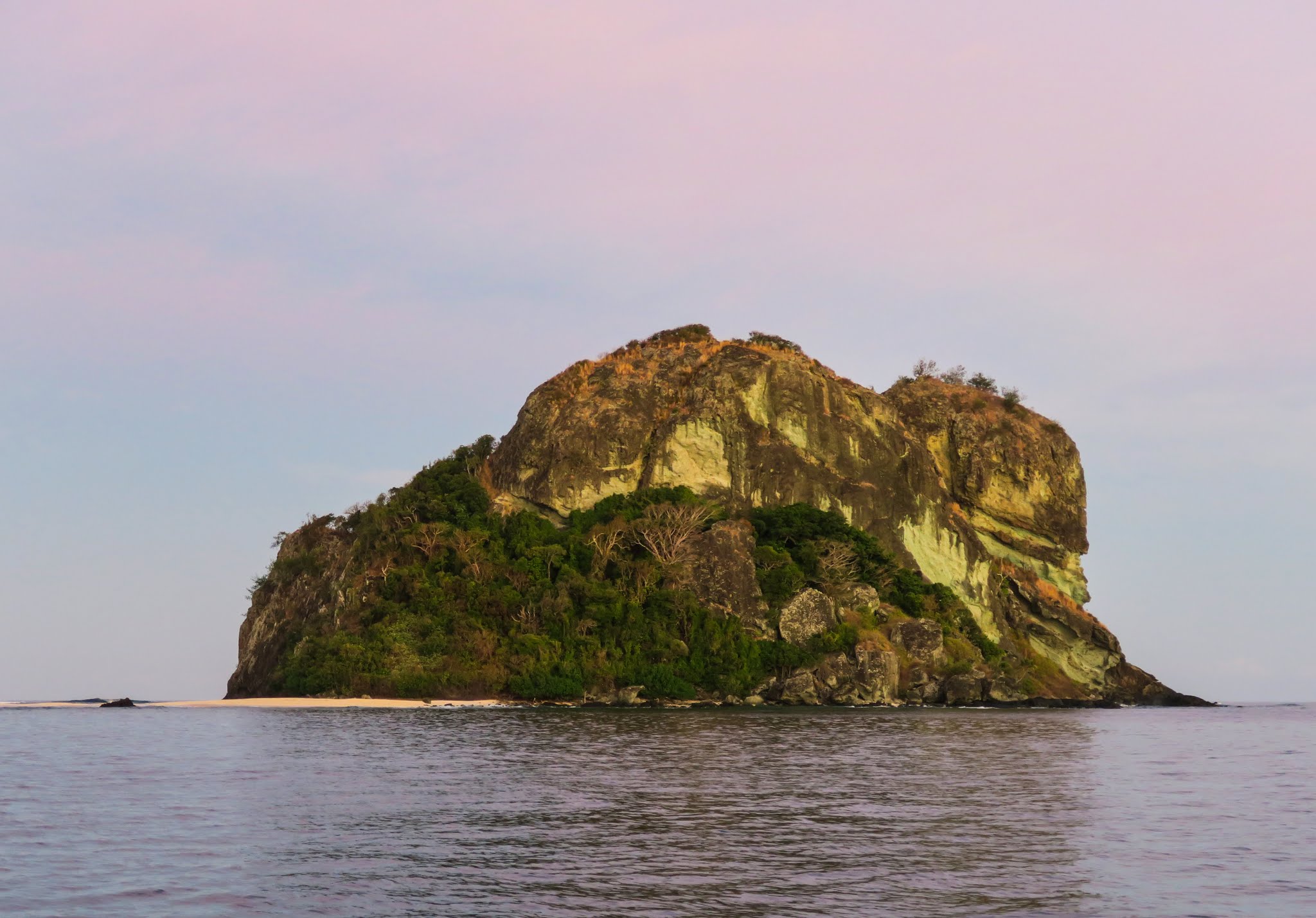
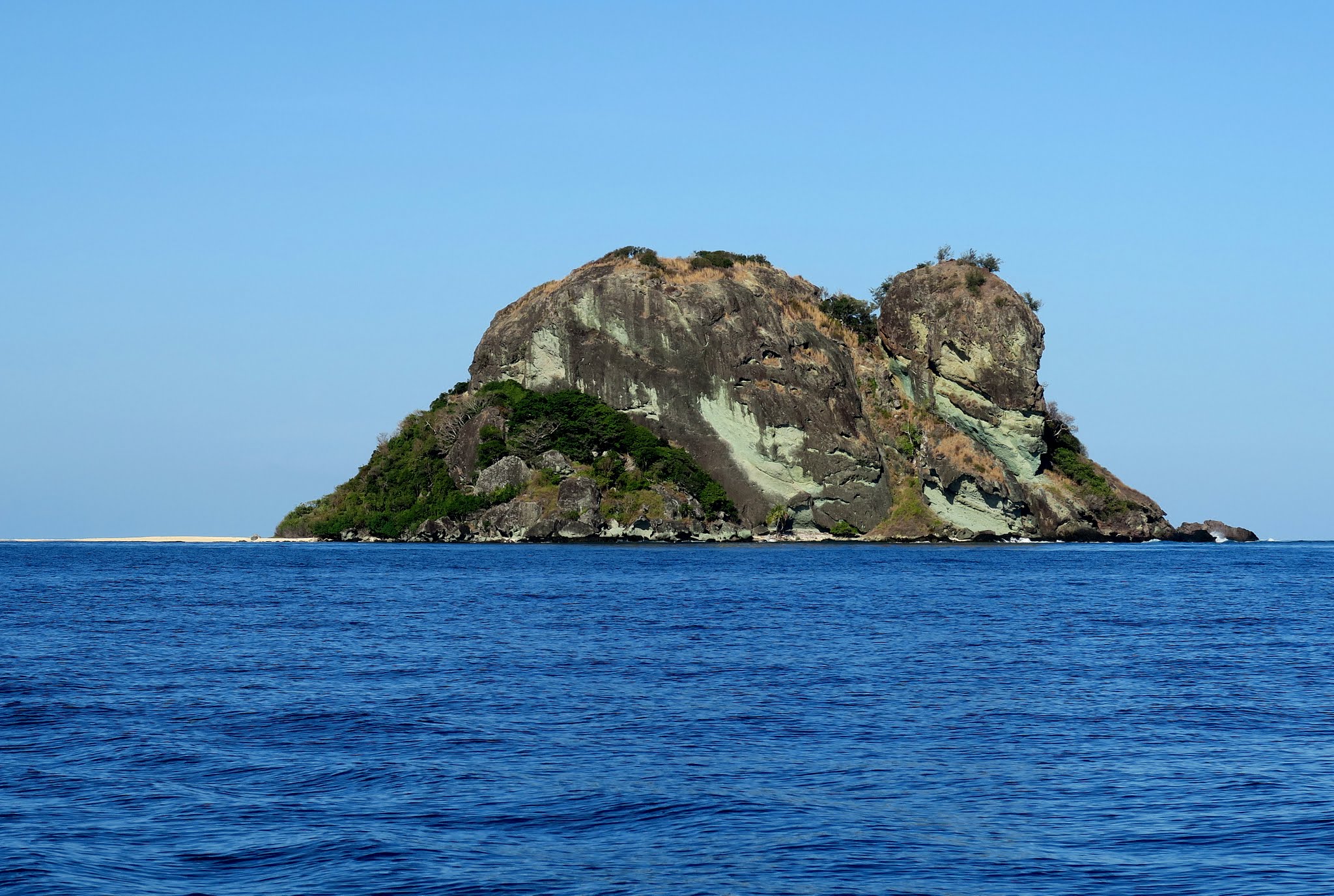
At sunrise the beaches once again turn pink, and areas of green rock in the monolith headland really stand out. I don’t know what the green is, but it’s only visible in certain light.
After the sunrise we headed back to Vuda Marina, where we spent a few days while the trade winds picked up. It’s always a treat to stay there (see post below).
Currently we are taking a few days out to enjoy quiet Saweni Bay just north of Vuda. We had planned to head north to the Yasawas, but worrisome weather is headed our way; so we’ll head back to Vuda Marina once again. –Cyndi
These are the among the northernmost of the Mamanuca Islands, and the anchorage that lies between them would be our last stop before heading back to Vuda Marina before the wind picked up.
At this point we had an amazing weather window to visit these northernmost Mamanuca islands, which are not only in a windy area but are very exposed to west and north swells. The winds were currently very light, and the swells predicted to be from the southeast.
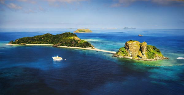
This is an aerial photo (“borrowed” from a brochure) of the Vanua Balavu (not to be confused with the Lau Group island with the same name). Just outside the picture to the left is Navadra Island, joined to this island by a shallow-water isthmus.
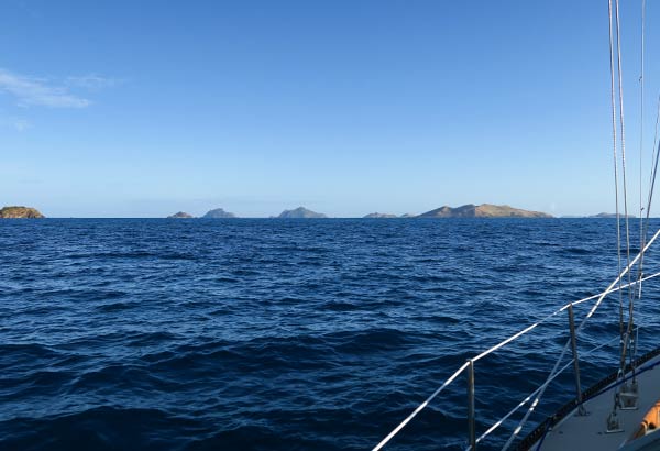
As we headed north past several of the Mamanuca Islands, it was obvious to see why some aren’t visited by cruising yachts: there are just no anchorages there. I suppose if someone were really determined they could manage it, but for us there’s so much yet to see on the beaten path that we don’t feel the need to go off it.
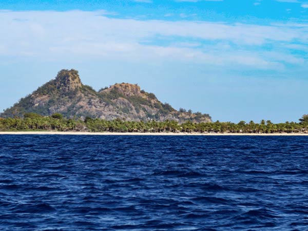
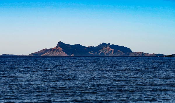
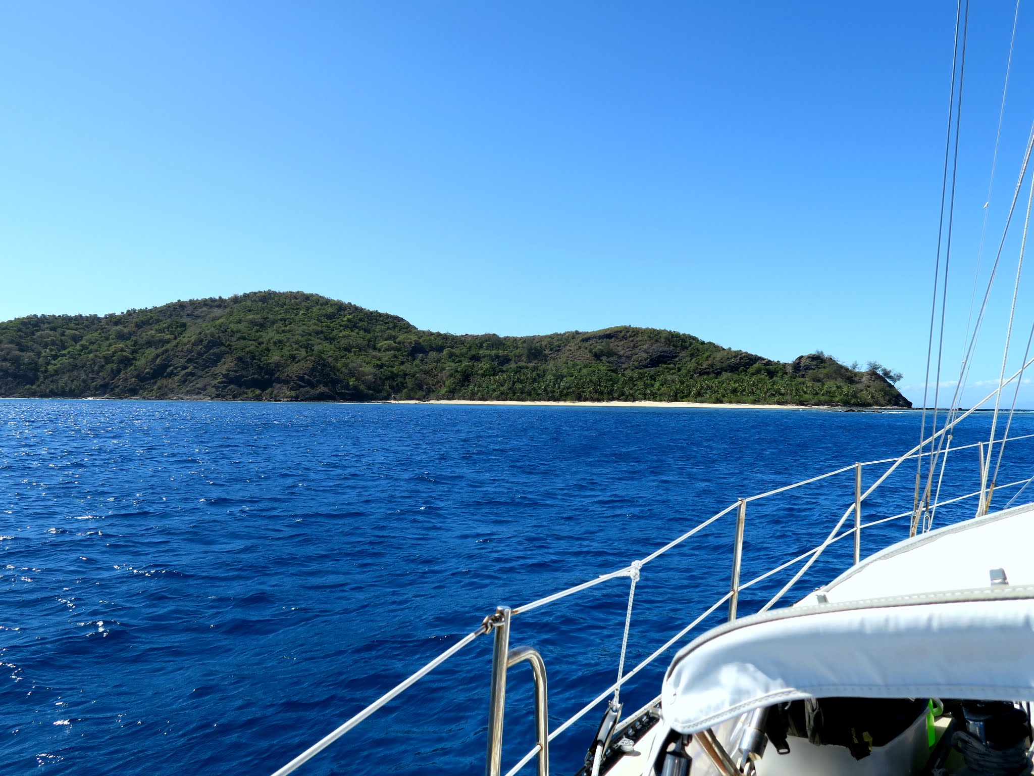
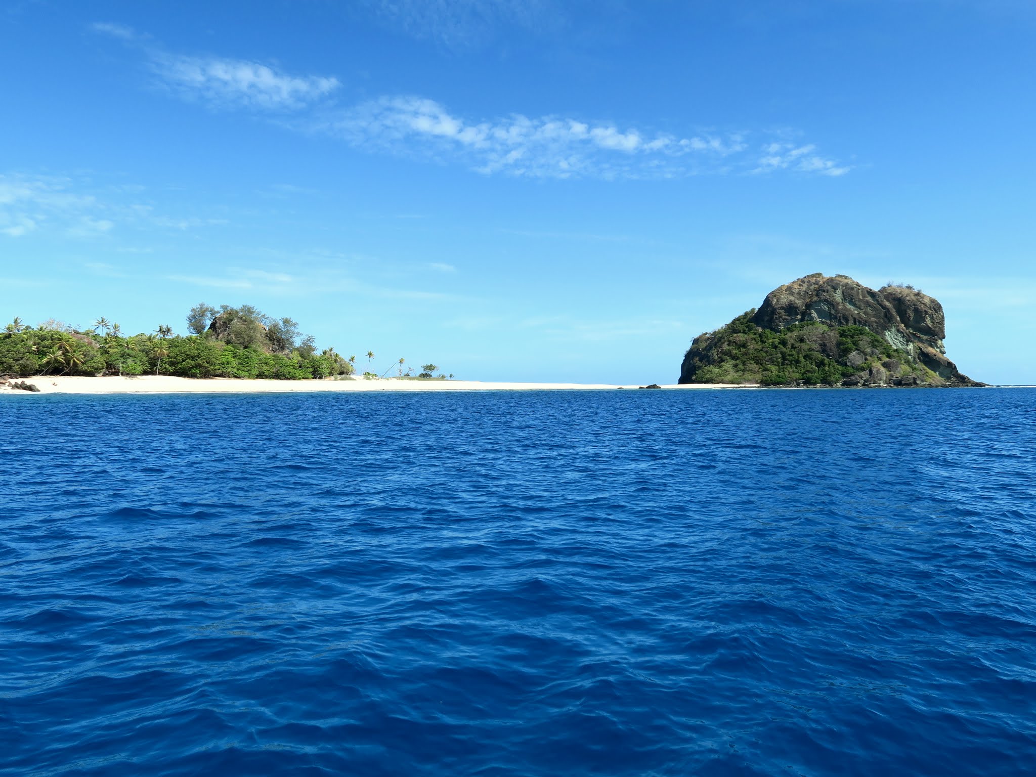
Looking back at the Mamanuca Islands to the south. (Fiji)Motoring past some of the westernmost Mamanucas including Monuriki Island where the movie Castaway was filmed. Monuriki, with its rocky and mountainous terrain, is different from the rest of the Mamanuca Islands. The palm lined beach in front if it is actually another island. (Fiji)To the north of the Mamanucas lies a more mountainous and windy chain of islands: the Yasawas. Above is the southernmost of the Yasawas, the Waya Island area. (Fiji)
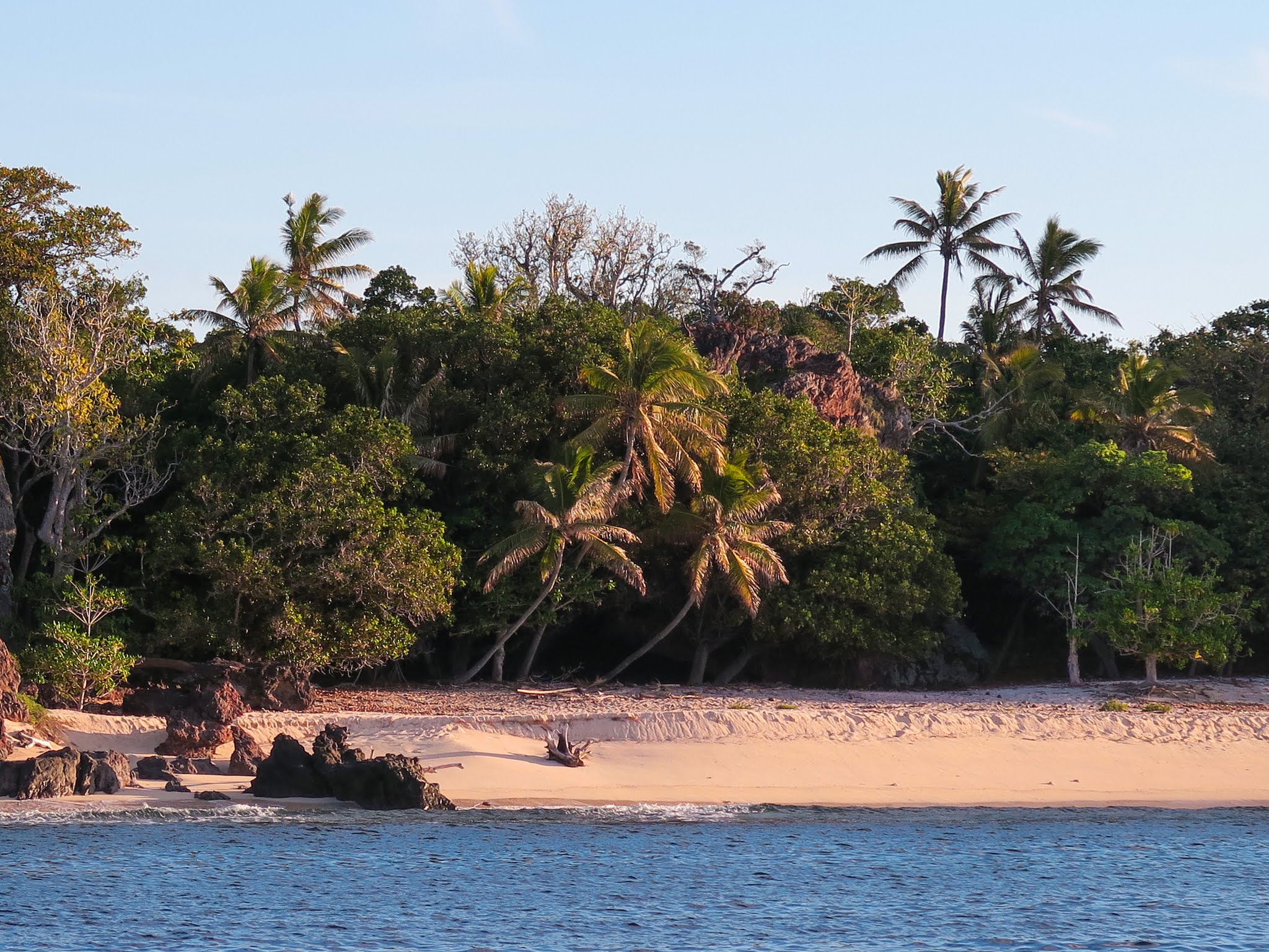
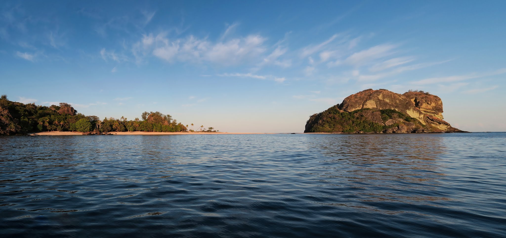
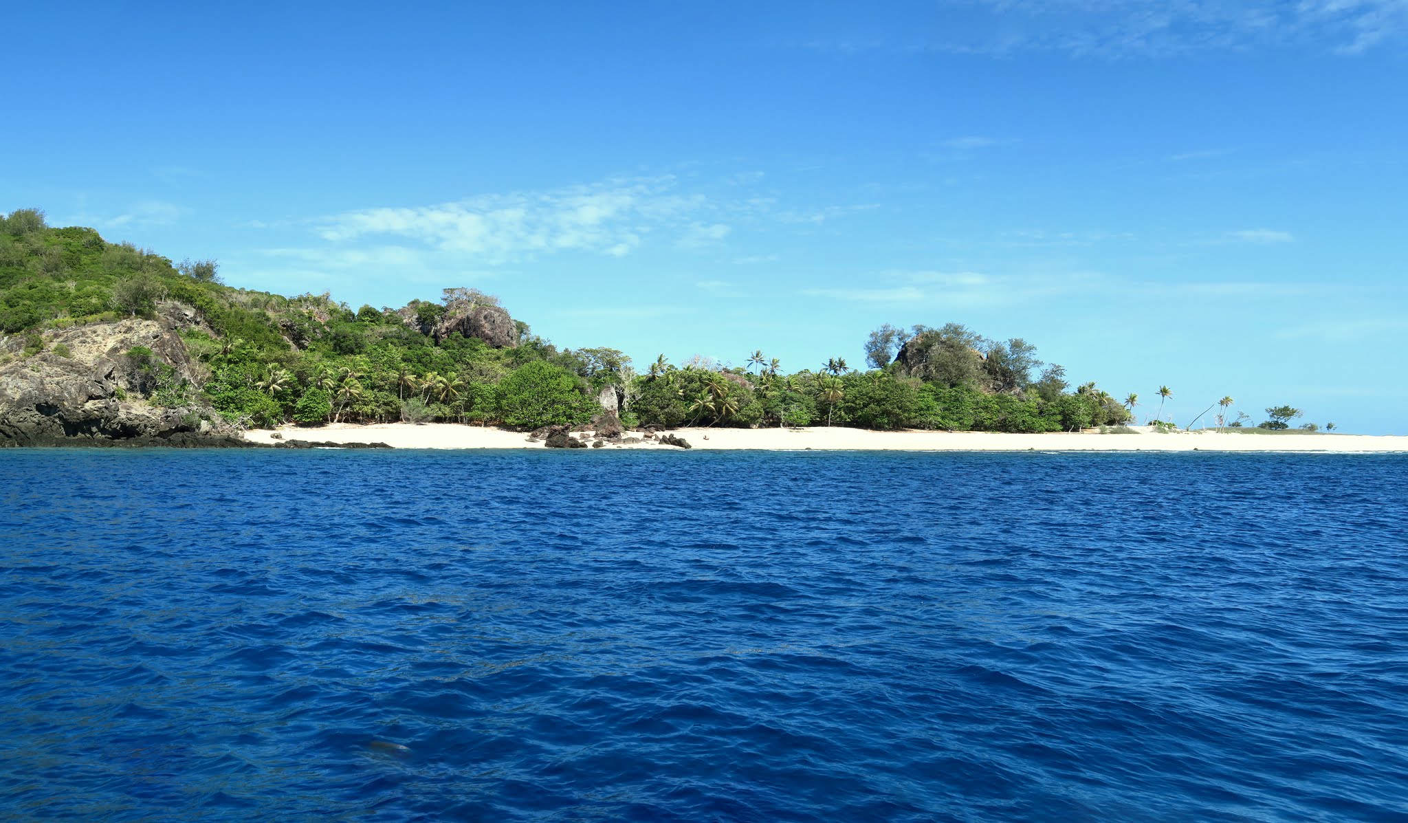
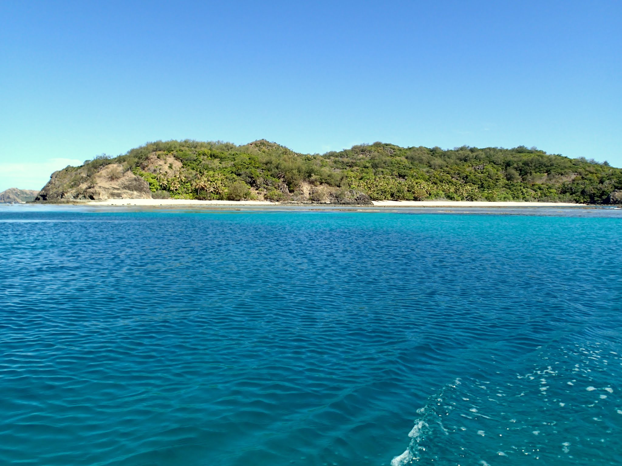
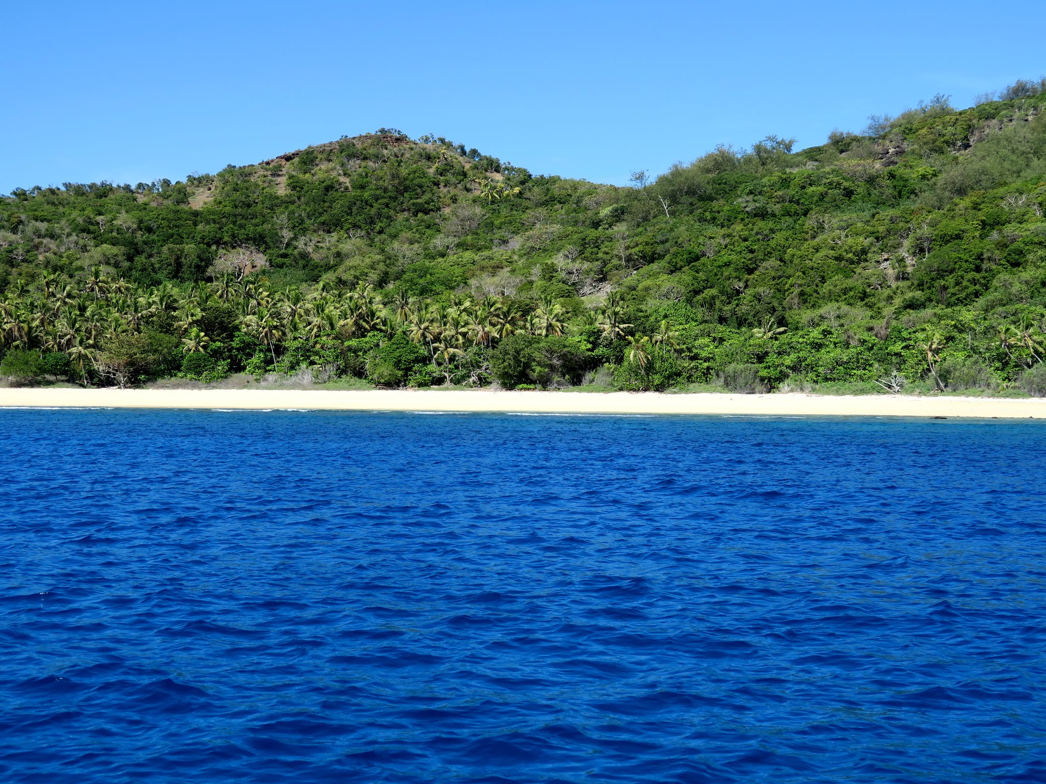
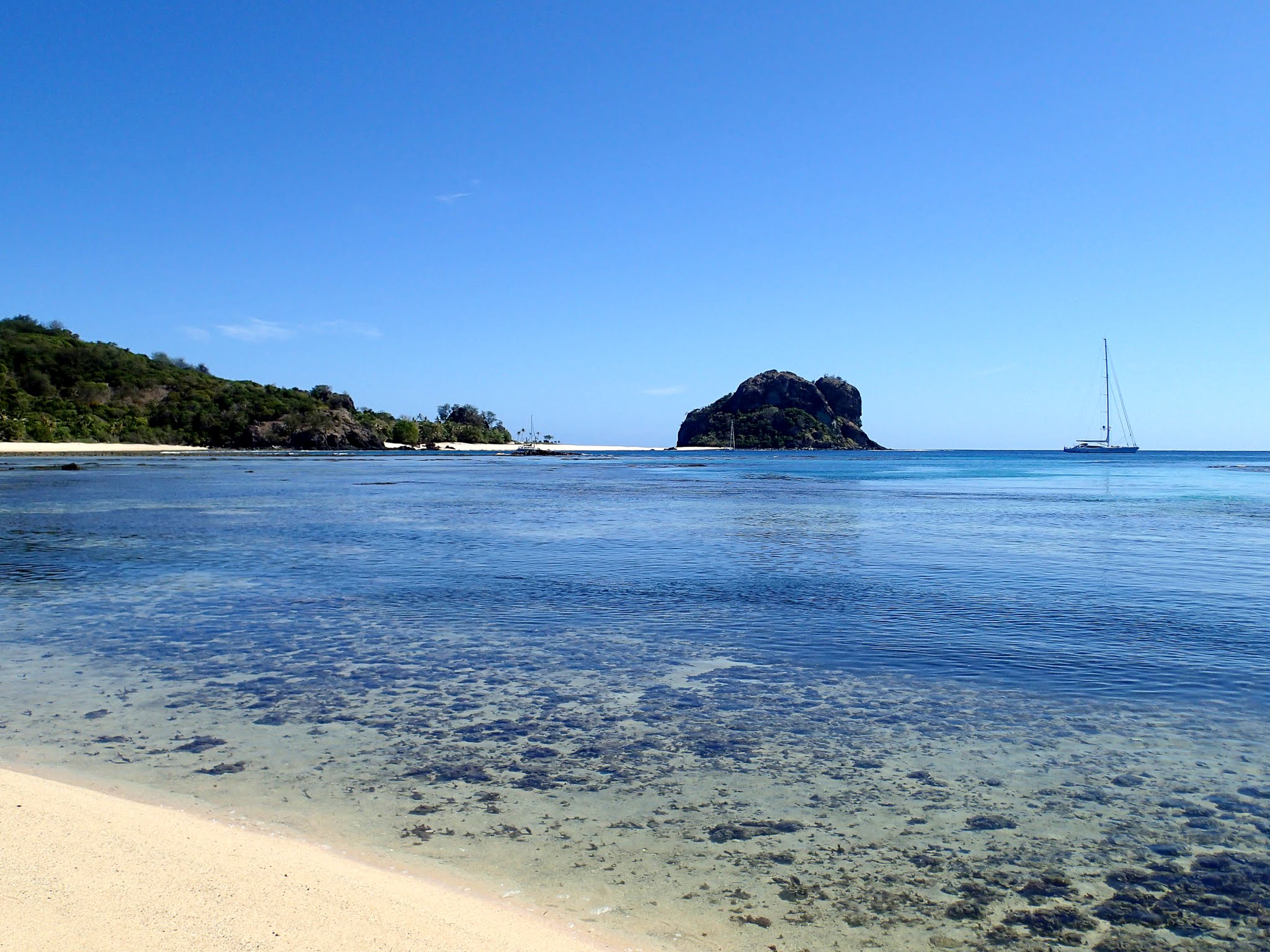
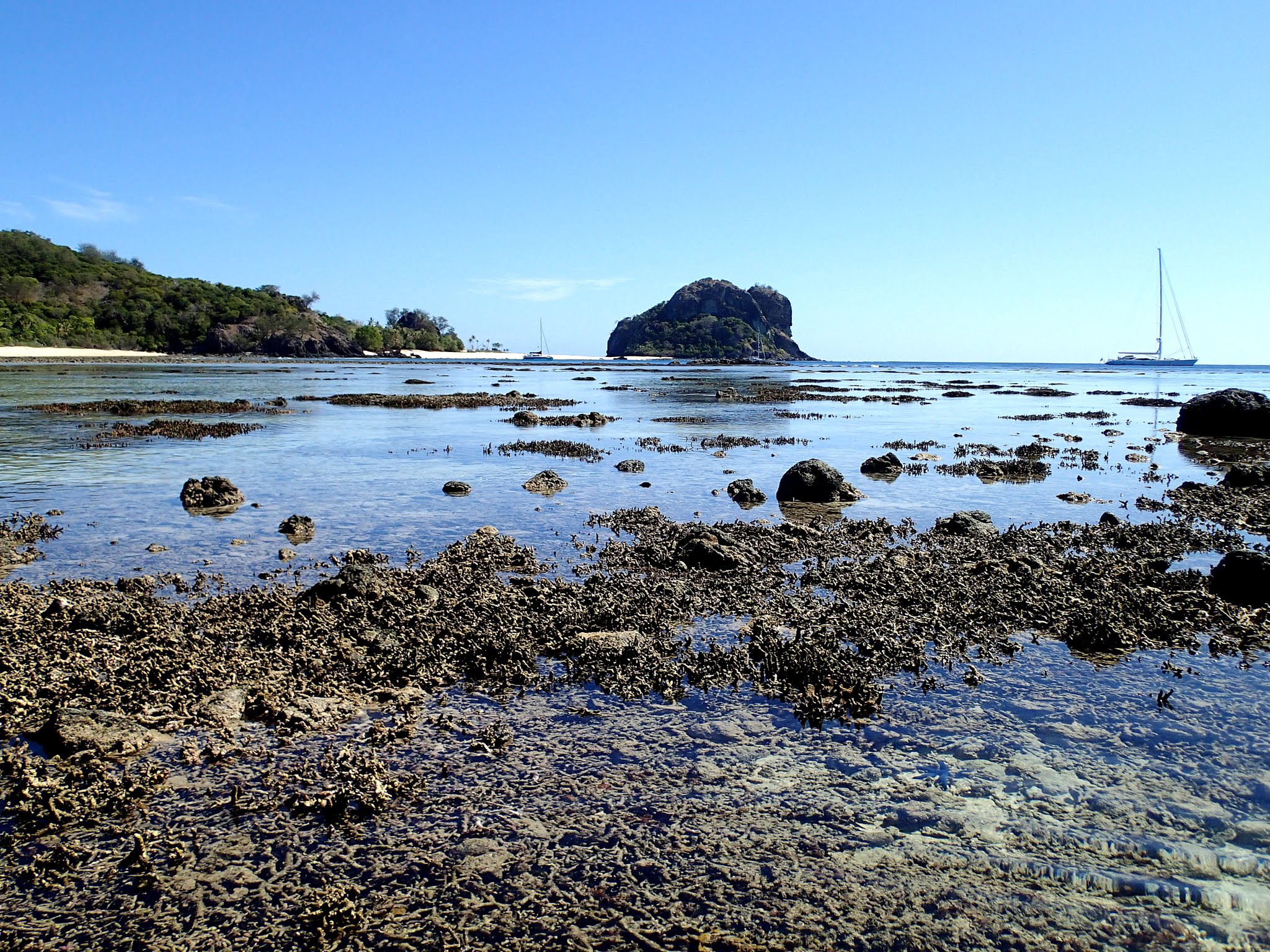
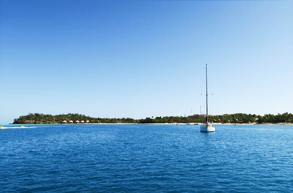
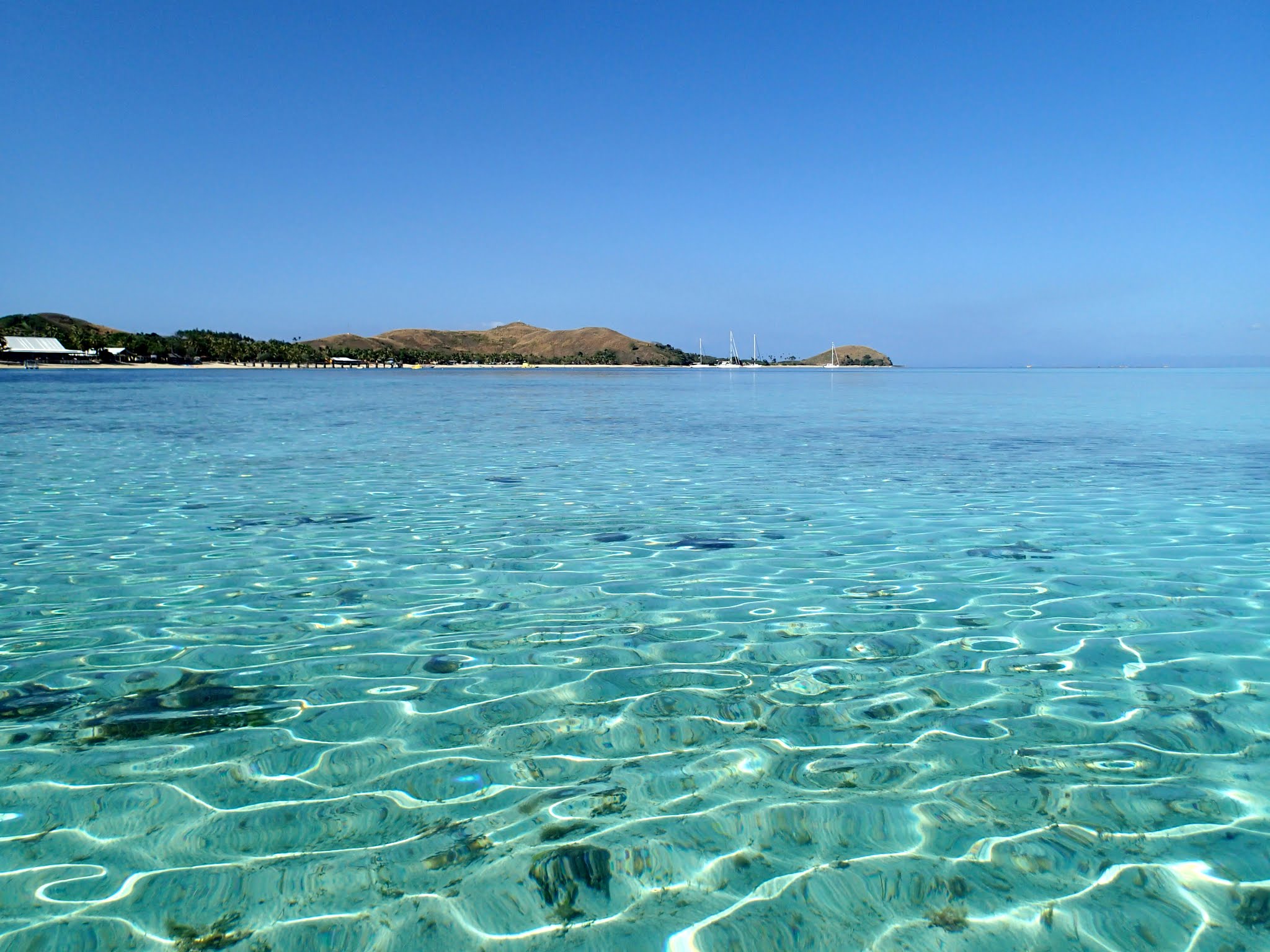
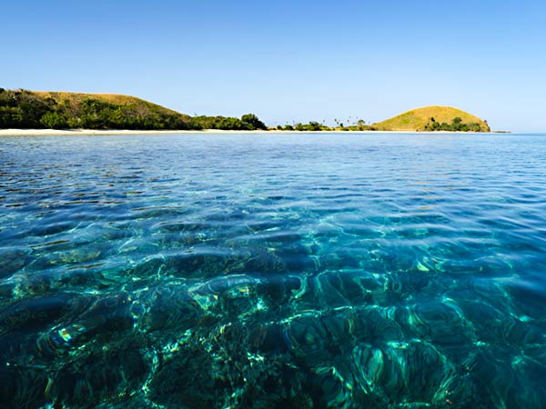
As we made our turn around the headland and got our first look at the anchorage, we were struck by its exotic beauty. The headland of Vanua Balavu is a giant monolithic rock formation, only joined to the main island by an isthmus stretch of sandy white beach.
Another isthmus, this one under shallow water, joins Vanua Balavu to Navadra Island, which has its own beach. The islands are at an angle to each other, which makes an anchorage between them.
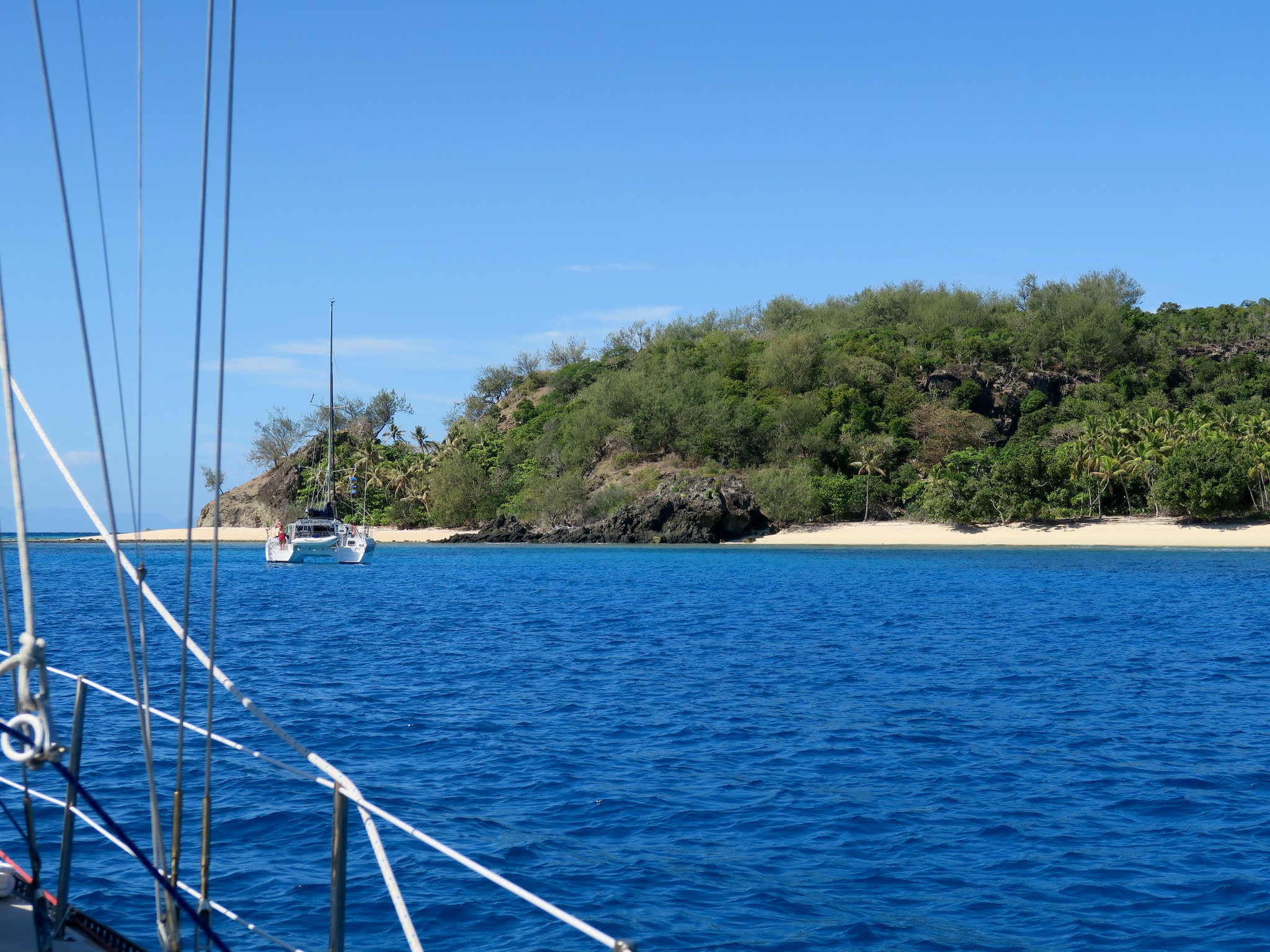
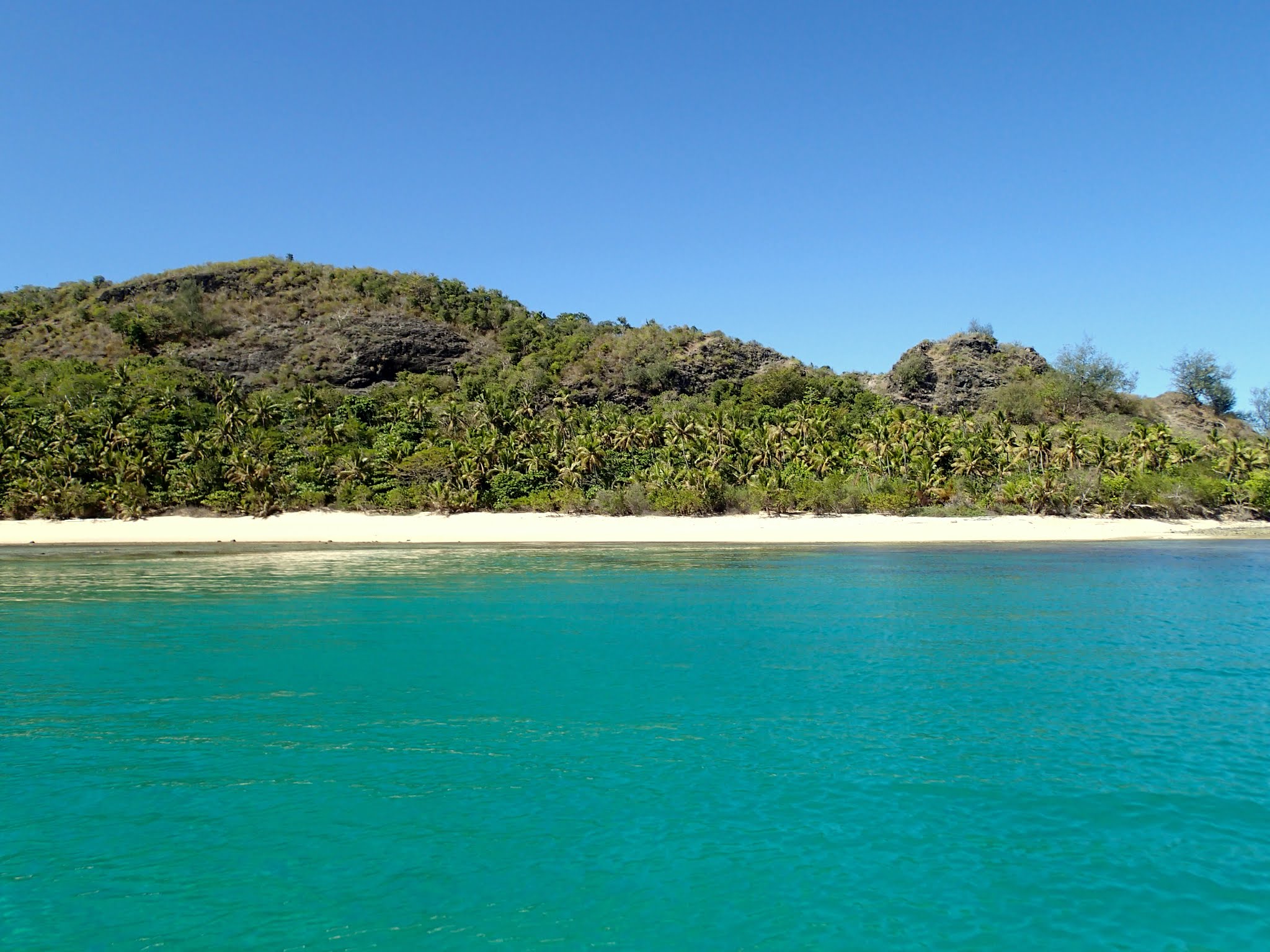
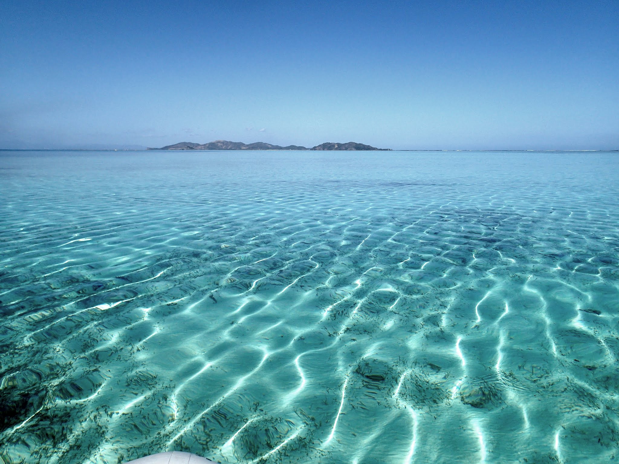
The good news is it’s beautiful here. The bad news: it’s generally quite rolly. Our friend Tom assured us that it’s possible to experience calm water here, but I suspect that doesn’t happen very often. We had very light winds and swell conditions, yet a persistent northern swell managed to make it remarkably rolly. We decided to stay and live with it. It picked up in the afternoon, making it a challenge to get onto the boat from the dinghy, but it wasn’t so bad that we couldn’t sleep later that night. Below a few pictures of the anchorage. (Click to enlarge and scroll through photo galleries below.)
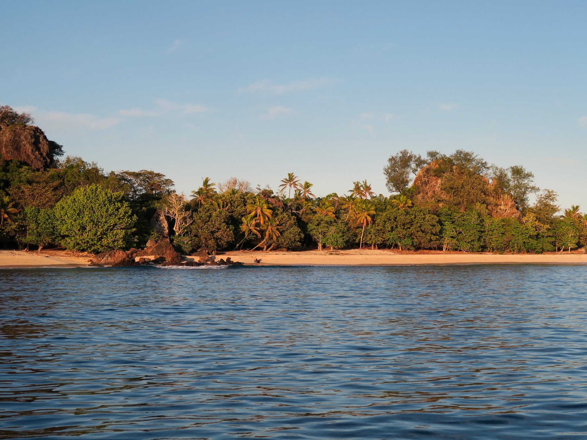
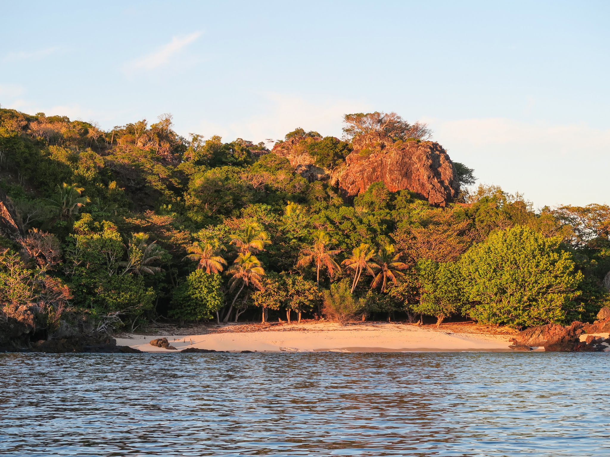
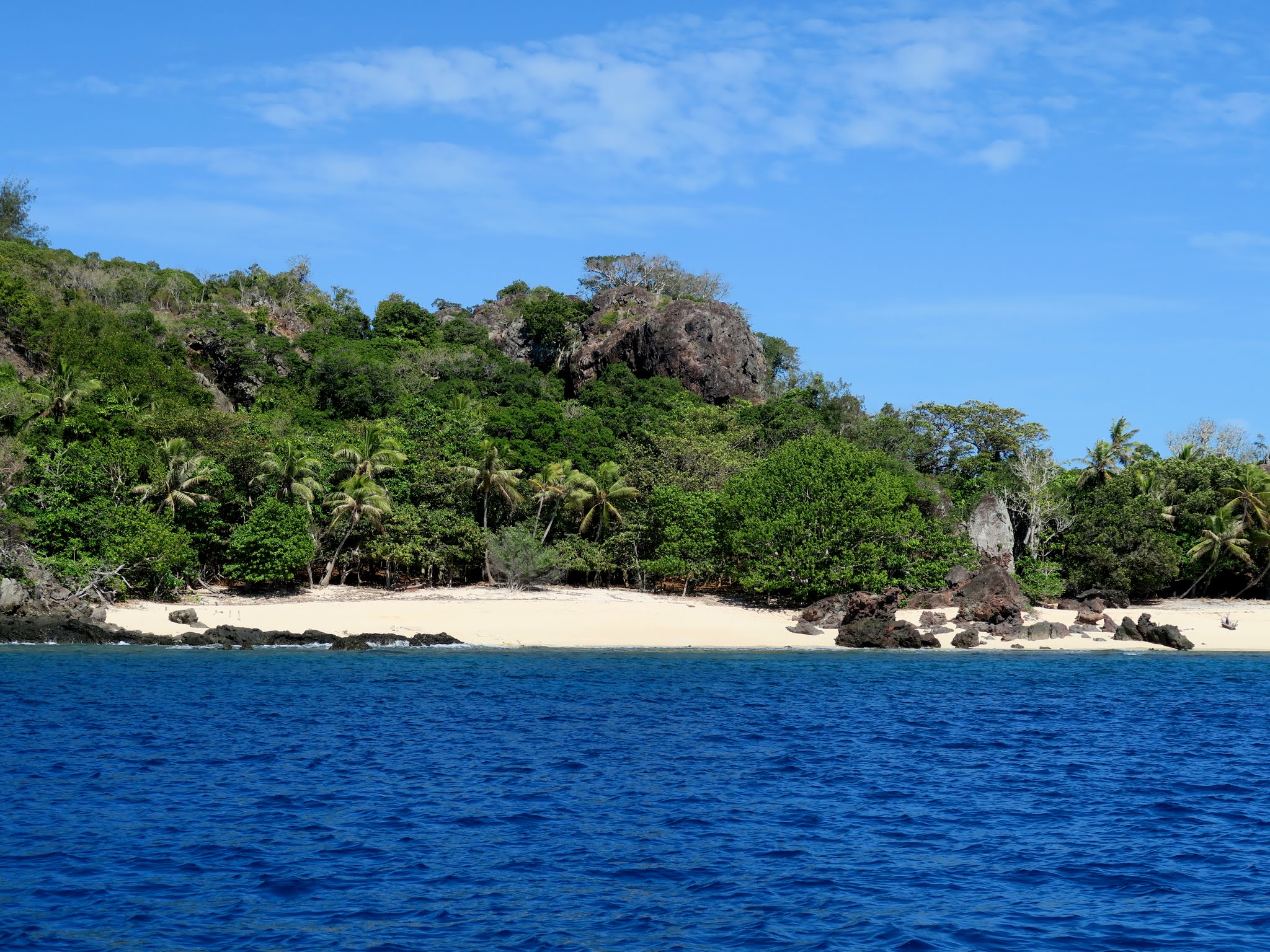
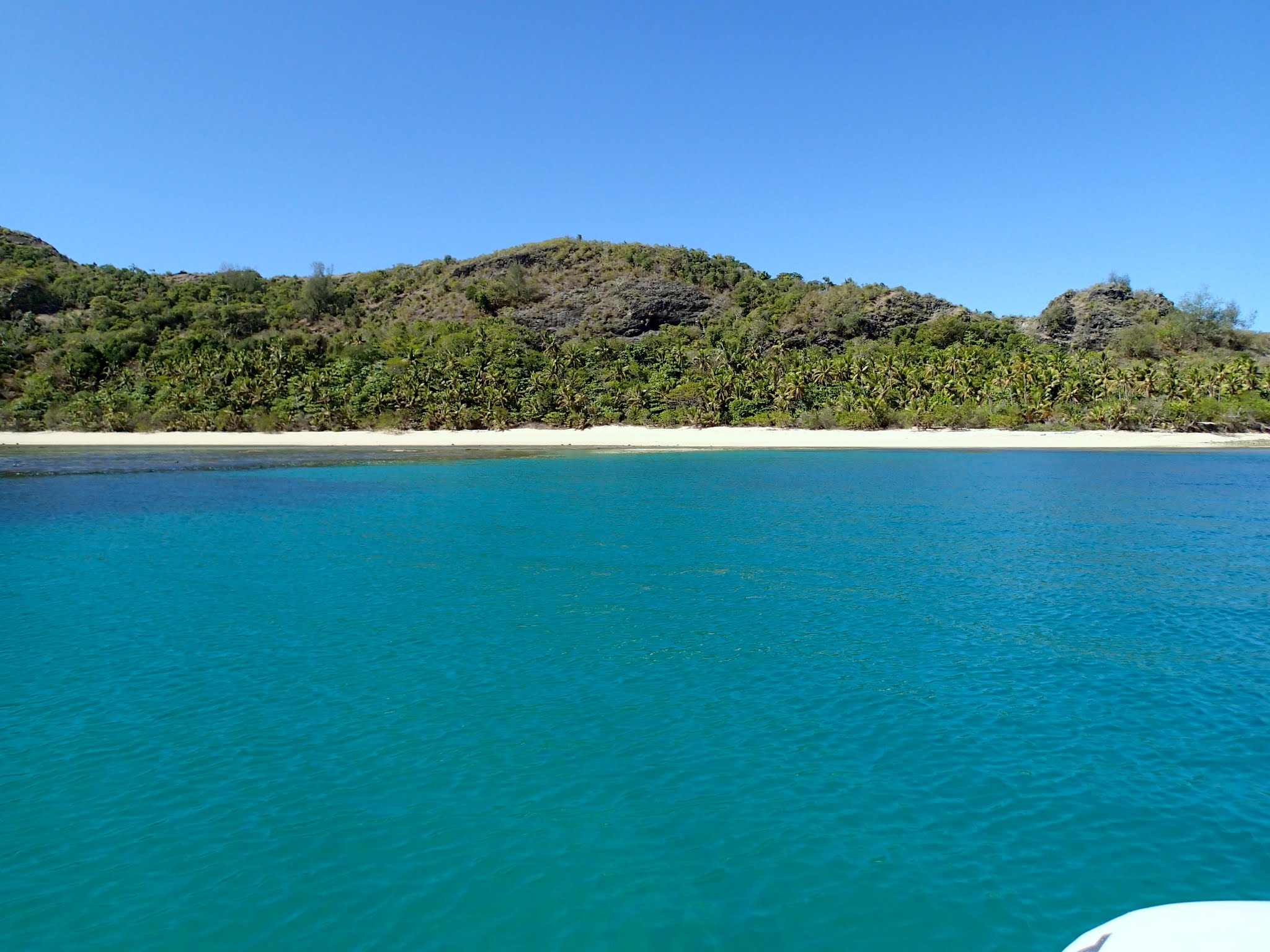
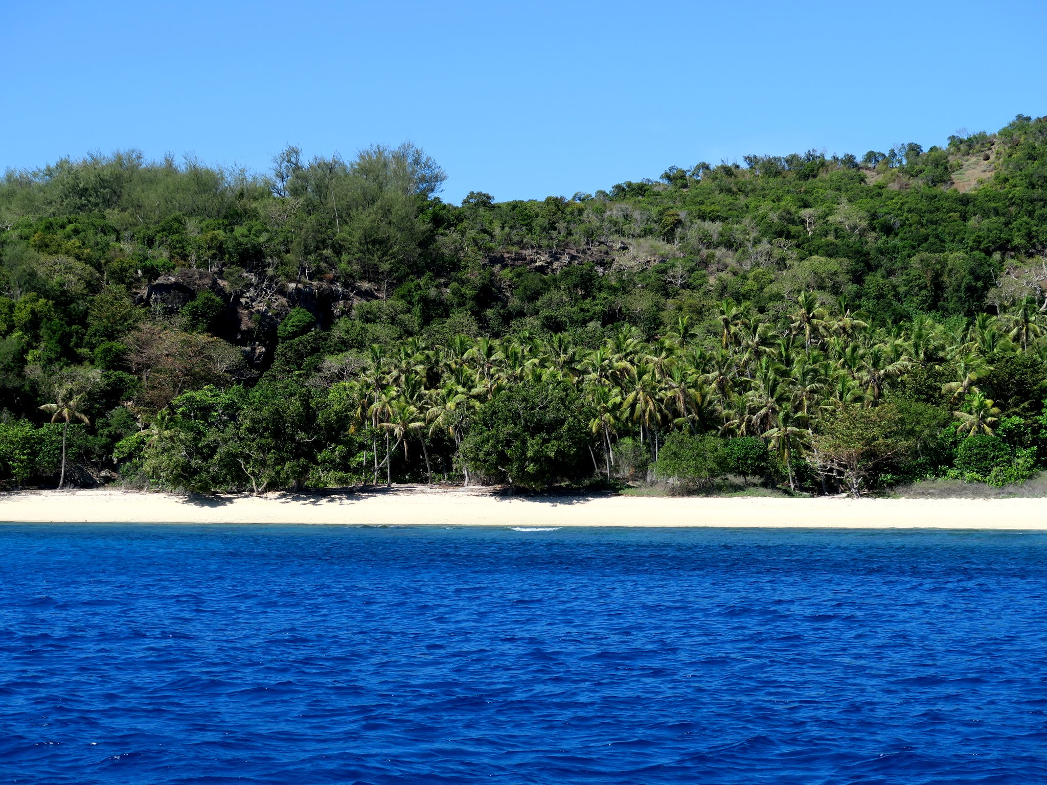
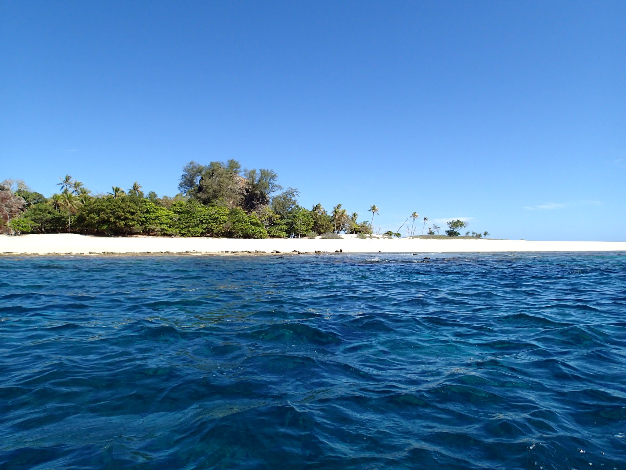
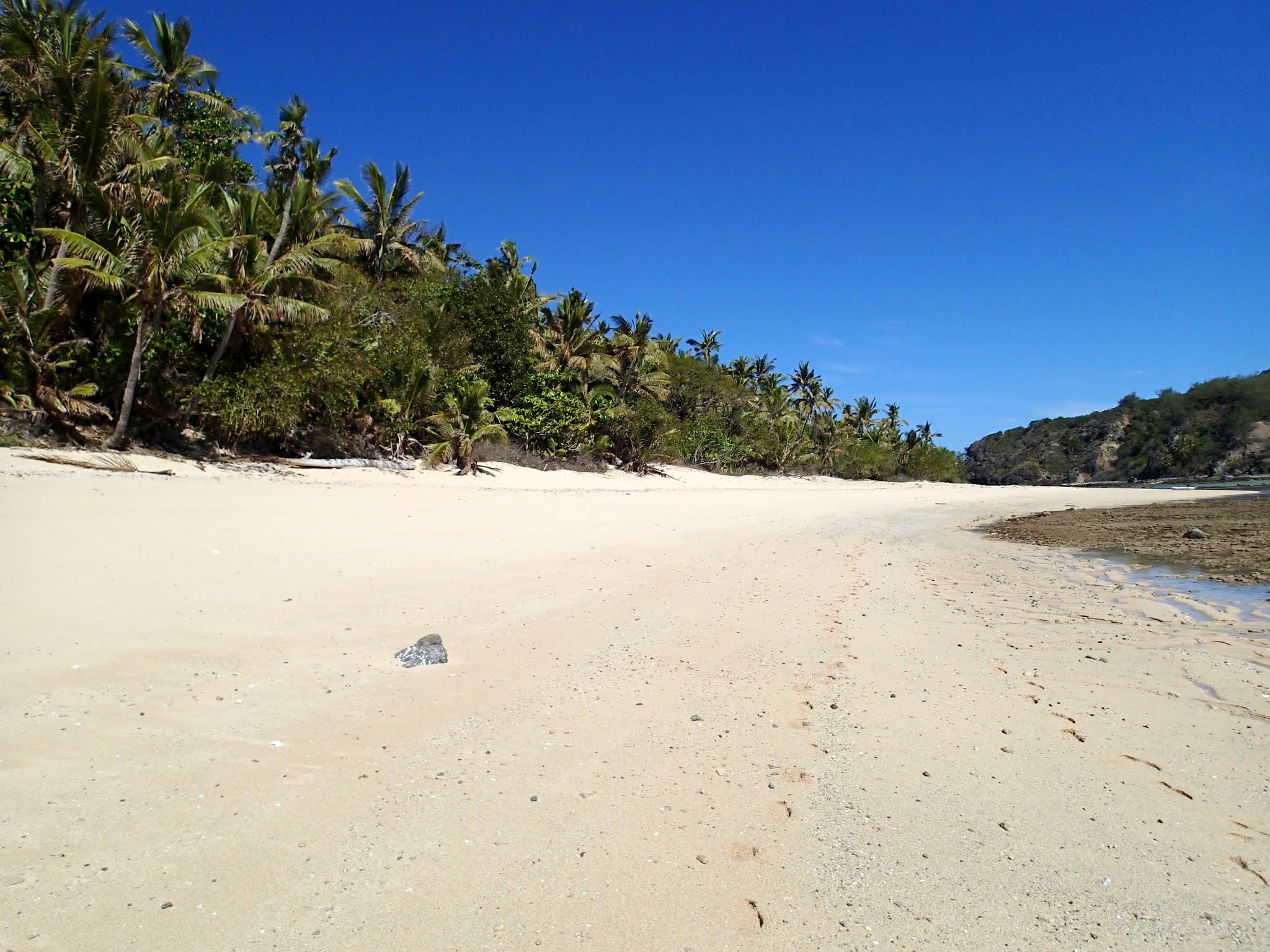
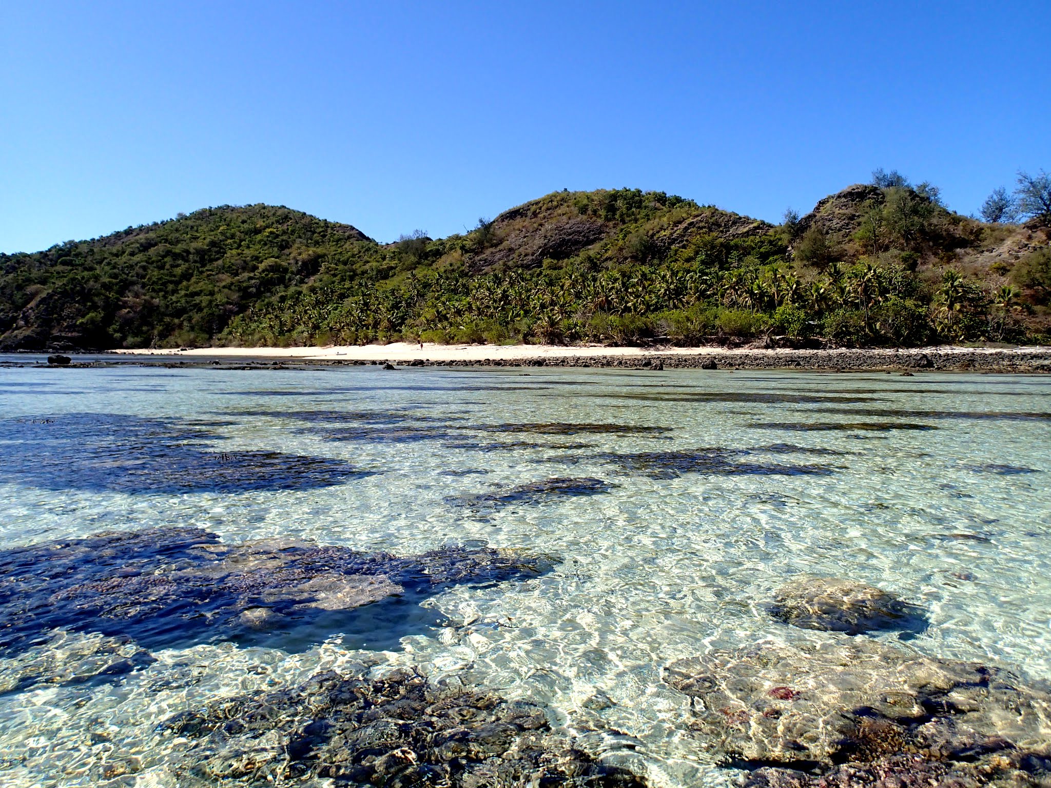
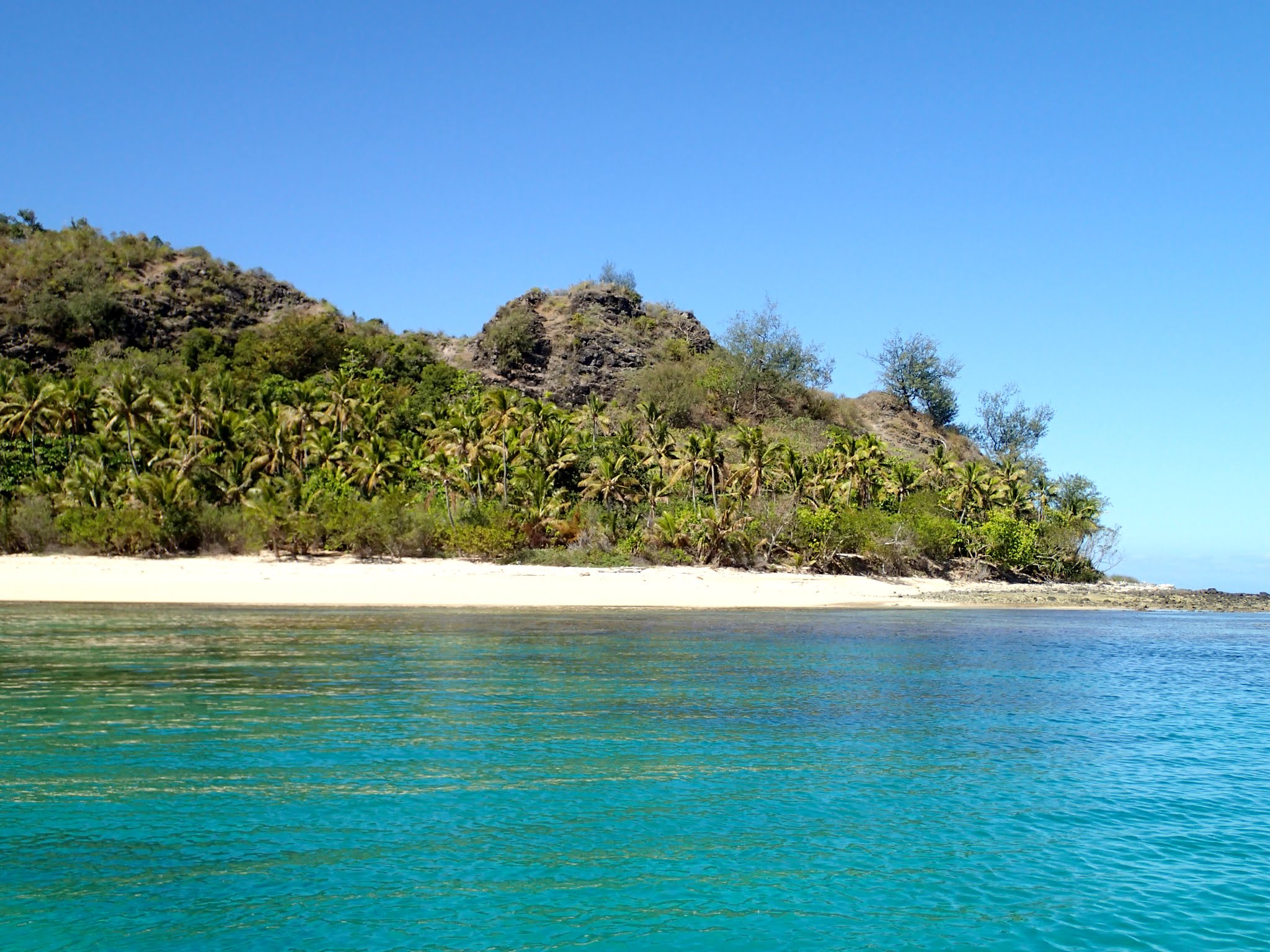
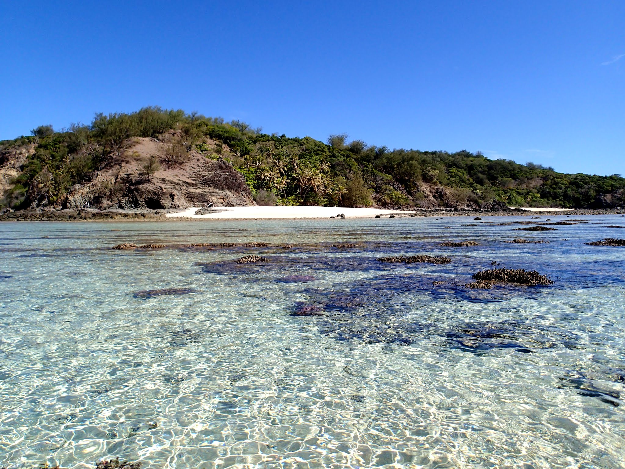
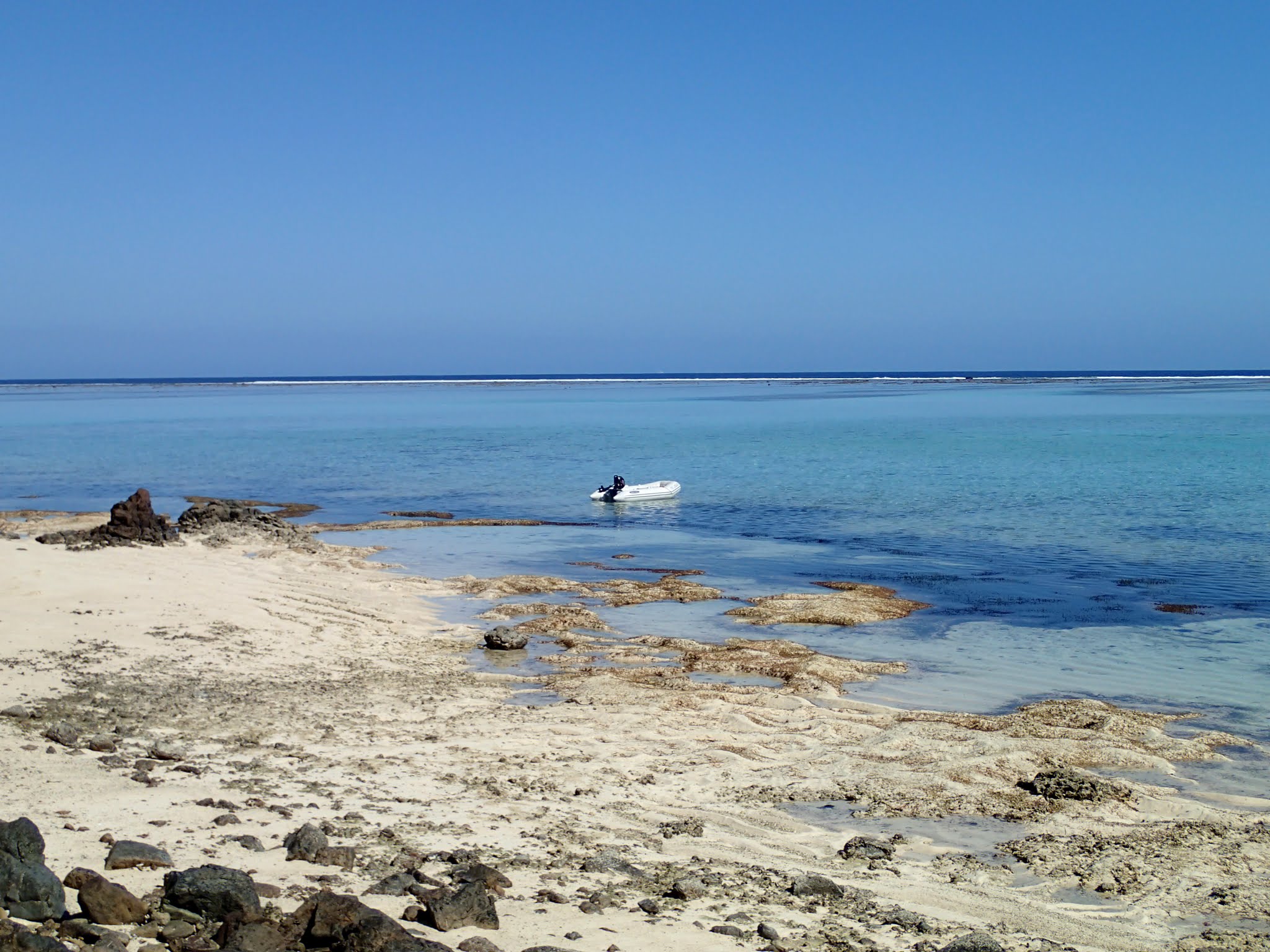
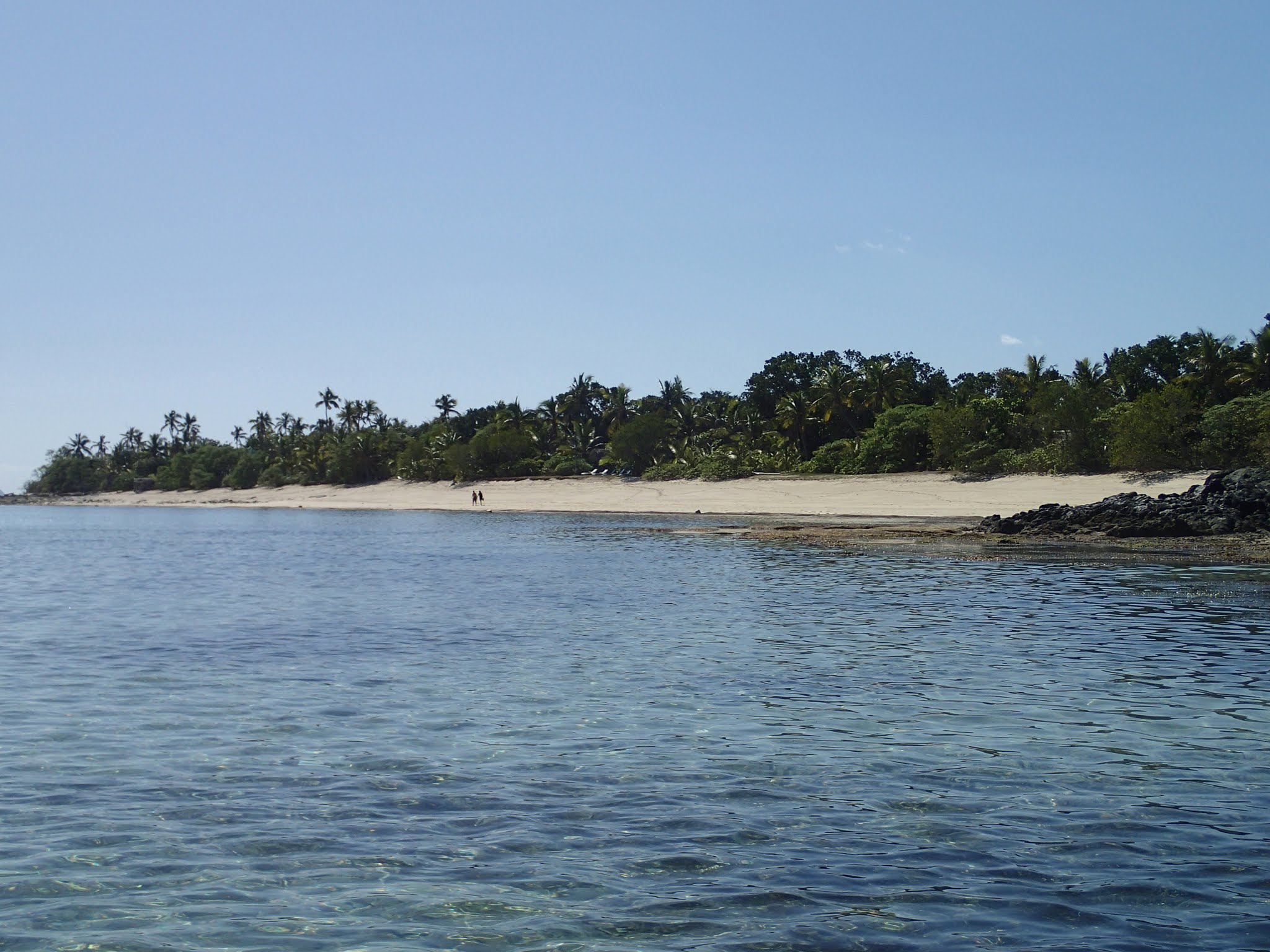
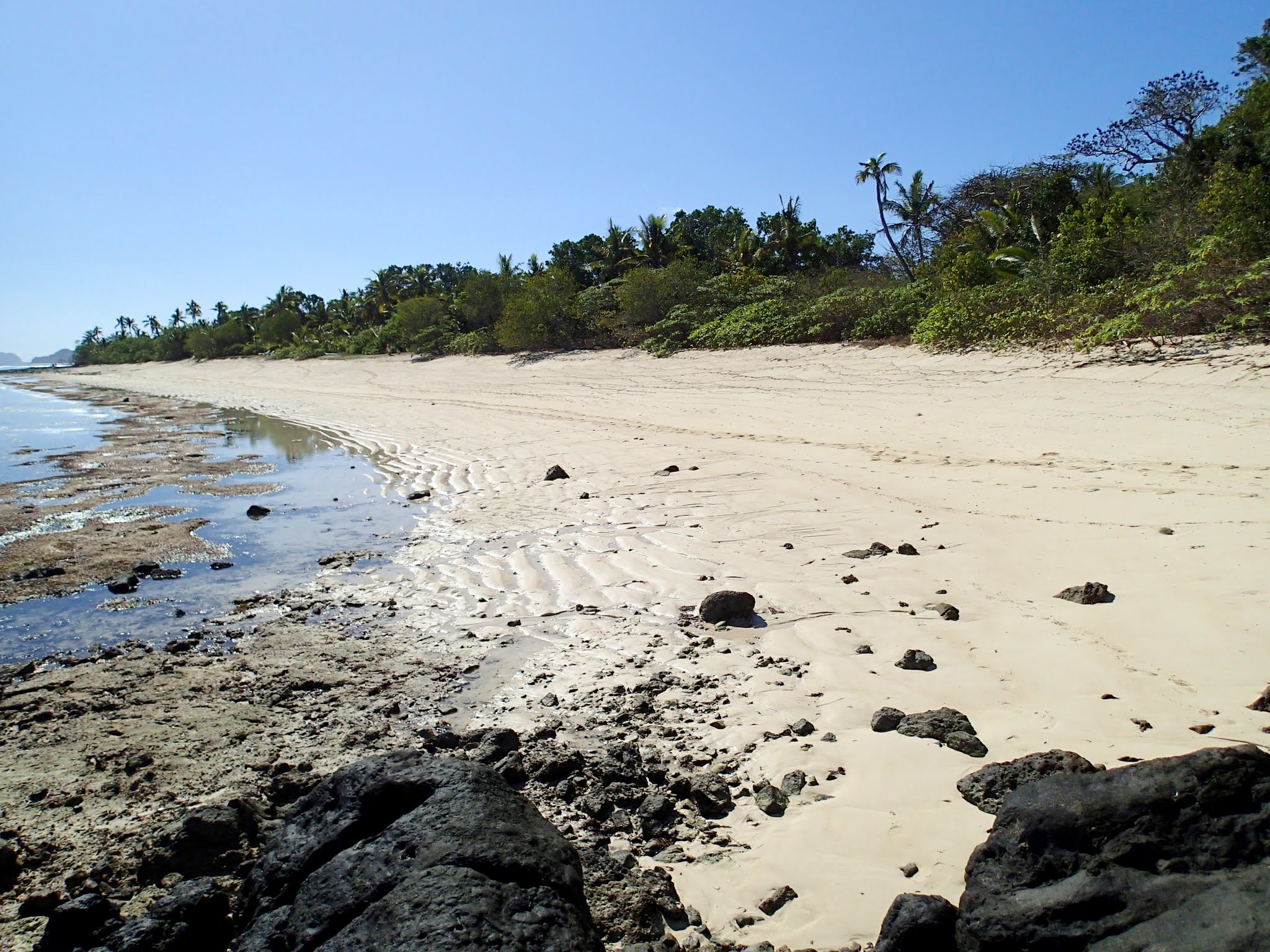
The second bit of good news: there are beautiful beaches! The second bit of bad news: a shallow coral shelf lines all the beaches and makes them hard to get to with a dinghy. We were there at low tide, though; so it might be easier at high tide. Below, a gallery of the beaches we had to choose from, if only we could get to them! We went from beach to beach, and none were accessible.
We finally did manage to find a small pass through some coral and get close enough to Navadra’s beach where we could pick up our dinghy and carry it (wearing sturdy sandals) to the beach. Once we set it down, we walked across the shallow, coral-strewn isthmus to Vanua Balavu, then back again to Navadra’s beach. The beaches are little hard to walk on, the sand a bit soft so you end up trudging over it, but there are lots of neat, although weather-beaten, shells to be found.
After walking along the beach, we carried our dinghy back out over the choral shelf, then used our yelling sticks (oars) to row out to deeper water. The snorkeling looked intriguing, and we thought about getting our gear and coming back. But then we got back to Legacy, and she was rolling around so much we didn’t feel inclined to leave her again. Instead we put our dinghy and engine onboard in case it got worse and we needed to leave. –Cyndi
Legacy rolling around in front of the monolith rock. (Navadra, Fiji)
As long as we’re on a roll posting our current cruising adventures in western Fiji, we might as well add in the last places we visited before heading back to Vuda Point Marina (where we are now) to sit out some winds, do some boat work and restock our food.
So far we’d visited:
–Musket Cove between Malolo and Malololailai Islands (some things we loved, some things we didn’t, and our future blog post about this will include a rant about their bone-headed mooring system).
–Likuliku Resort’s anchorage: between the helicopter, seaplanes, ferries, small power boats, fishing boats, the chainsaw, and the mosquito fogging machine (which sounded remarkably like a chainsaw), this very exclusive, couple’s only resort is the noisiest anchorage we’ve ever been to. We just had some wine and laughed about each new noise (earning it the nickname: the Now What? resort), but we felt sorry for the guests.
–Castaway Resort: we really liked this place (blog below)!
–Momi Bay: Nothing really there, but a convenient overnight stopping point on the way to Likuri Island.
–Likuri Island and its Robinson Crusoe Resort: It takes some effort to get here, but it’s worth it for the twice-weekly dinner show they put on (blog below).
–Cloud Nine floating restaurant: A fun adventure, unlike anyplace we’ve ever been (blog below).
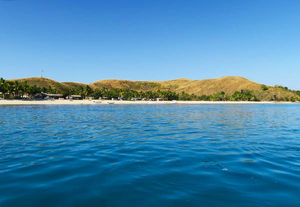
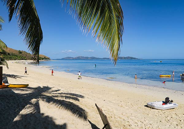
Which brings us to our next stop, Mana Island. It has the dry, grassy look typical of the Mamanuca Islands, but it’s longer and flatter than most, a crescent of an island with only a few hills. Its long stretches of beach are lined with palm trees.
The anchorage looking towards the east side. (Mana Island, Fiji)The anchorage looking towards the west side. (Mana Island, Fiji)The village and backpacker resort area. (Mana Island, Fiji)
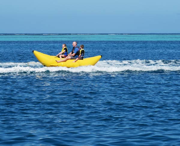
It’s a nice looking island and anchorage, but it has some issues. First, it’s surprisingly busy with the comings and goings of all sorts of boats and ferries. It makes it a bit challenging to get through the pass (see Rich’s previous post, Mana Island Pass). Another thing that was kind of fun at first, but got old after a day of it, was the resort speed boat pulling people around the anchorage on a rideable banana. From the number of times they zoomed by our boat, it seems like everyone in Fiji must have ridden that banana! (I secretly wanted a ride on that banana, too, but the resort doesn’t welcome non-guests.)
The rideable banana in Mana. (Fiji)
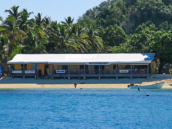
The island itself is very divided: there’s an upscale, exclusive resort one side of the anchorage and a village with a backpacker resort on the other. No one is allowed at the upscale resort except for its guests. Everyone is allowed at the backpacker resort’s area, complete with a restaurant and dive shop.
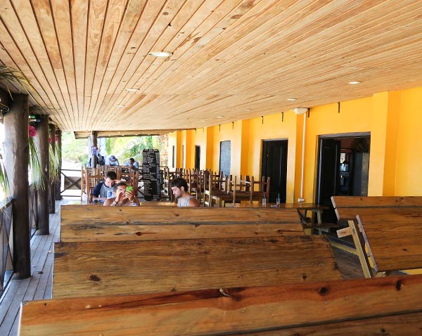
We looked forward to visiting onshore, but we were disappointed once we got there. We landed on the beach in front of the restaurant and headed up there to check it out. There were people around, but everyone seemed so indifferent that we felt invisible. The menu looked interesting, but it was surprisingly expensive for the rustic sort of place it was. There was a table with women selling jewelry nearby, I suppose to people coming and going on the ferry, but it seemed out of place and tacky.
The restaurant at Mana Island. (Fiji)The view from the restaurant at Mana Island. (Fiji)The deck of the restaurant at Mana Island. (Fiji)
The only interaction we had with anyone was a kid who insisted on playing in our beached dinghy. We tried to get him to leave but he didn’t understand. Mom, at the jewelry counter, tired to get him to leave, but she gave up when he didn’t listen. Eventually he got bored and left, but by now we just didn’t feel very good here. This whole place just felt tired and apathetic.
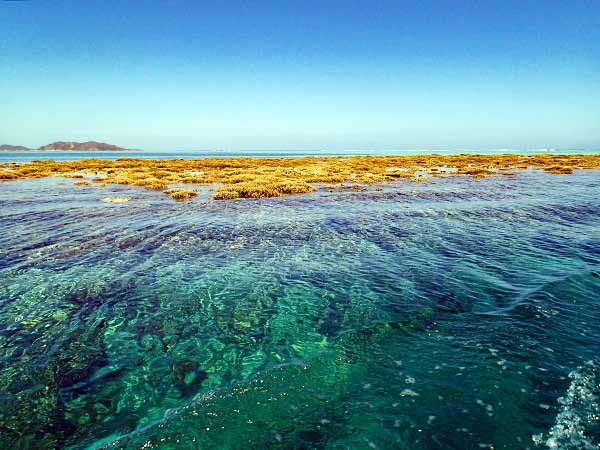
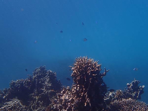
We were also disappointed with the snorkeling, but that may be the fault of our guidebook which recommended snorkeling on the “main reef.” What does that mean when there are several reefs? We went out and searched along the outer reef and found an area that was interesting but not as special as we’d heard.
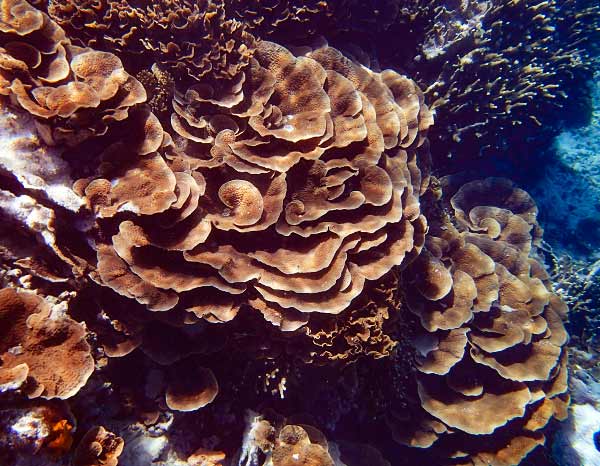
Looking for the snorkeling area at Mana Island (Fiji)We did see some neat cabbage coral. (Mana Island, Fiji)And we saw a few fish. (Mana Island, Fiji).
Later we discovered what must have been the more famous area where the reef abruptly drops not far off the middle beach. It looked like it could be much more interesting, but by then we’d showered and changed out of our snorkeling gear.
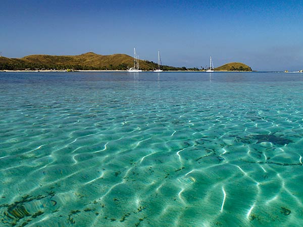
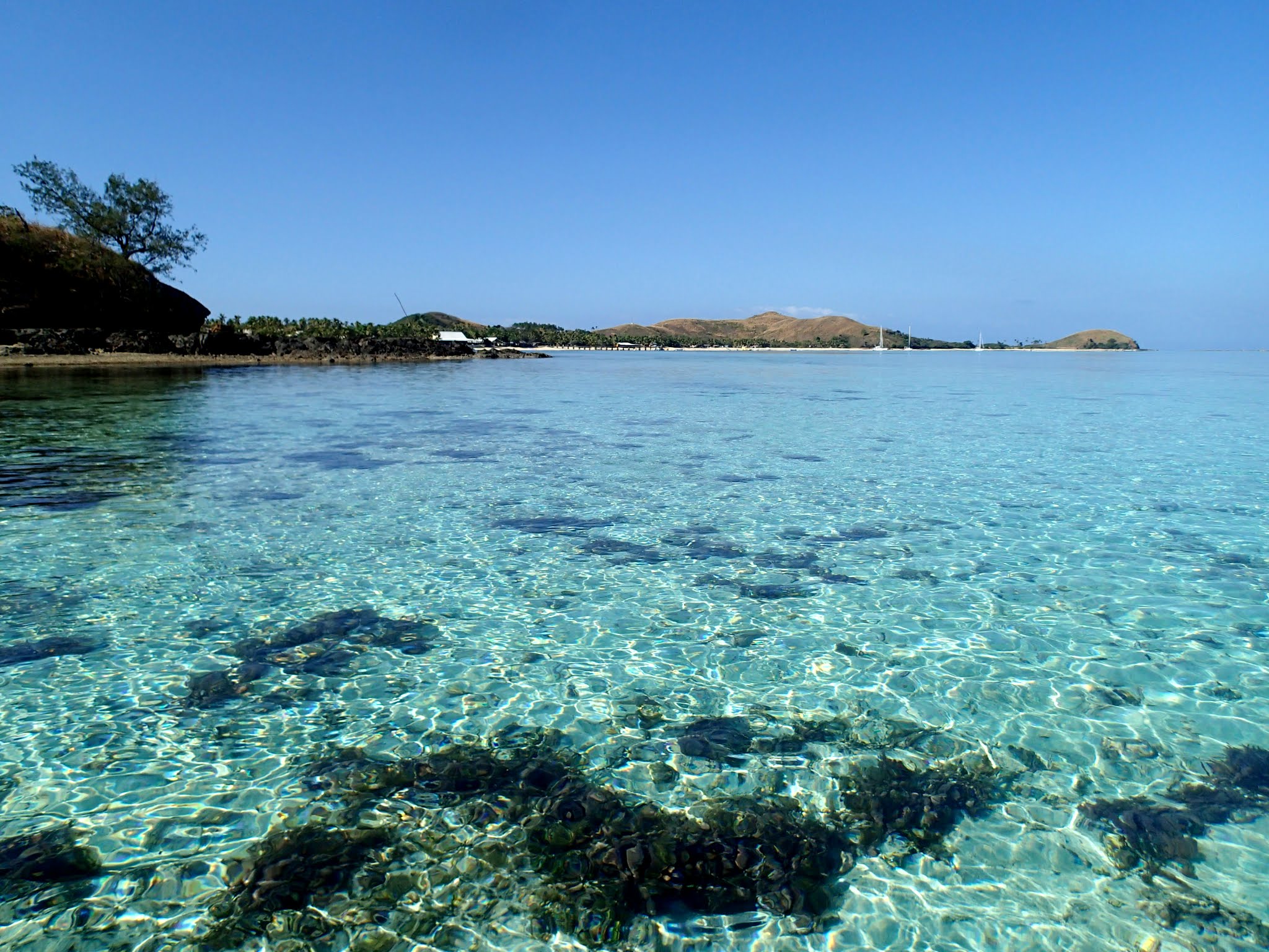
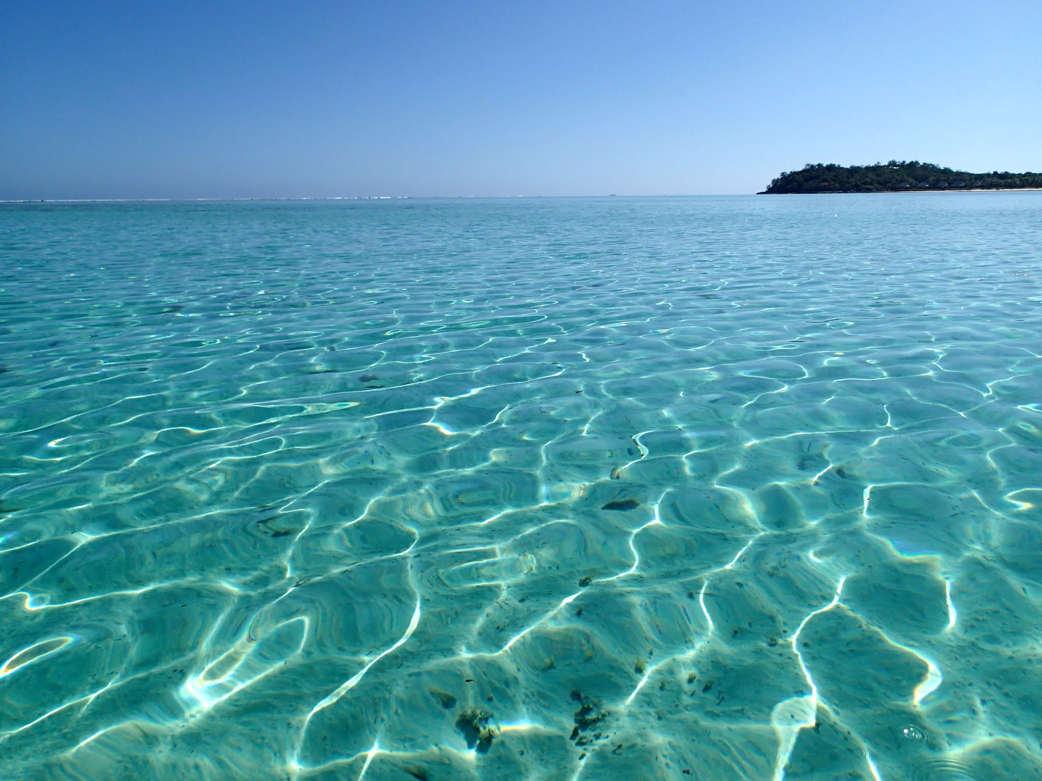
Finally, we did take a ride around to the beach on the west side, which my guidebook claimed was the best beach on the island. The ride over the shallow blue green water was beautiful. The beach was nice enough, but apparently owned by the resort. We noticed the telltale lounge chairs, and the employee marching down the beach toward us with a “you’re not allowed here” expression. Not in the mood for a verbal spanking, we left before she reached us. (You can click to enlarge and scroll the gallery of photos from our west beach outing below.)
Again, I have to fault my guidebook for this, because I later checked on Google Maps and saw the recommended beach is actually on the northwest tip of the island.
For us, I’d say the highlight of our time at Mana was the dinghy rides. There’s a very nice-looking beach on the southeast side of the island, but we didn’t go ashore there.
Aside from the colorful area of shallow water, the prettiest area of Mana was this beach on the southeast side. (Mana Island, Fiji)
The sunset was lovely, but we soon found another problem with this anchorage: it gets rather rolly at high tide. Overall this was not a favorite anchorage for us, but maybe it was just one of those off days. I know other cruisers enjoy it; so while I wouldn’t say we recommend it, we don’t not recommend it, either. Who knows, maybe we’ll even try it again sometime. –Cyndi
The sunset on the grassy hill at Mana Island (Fiji)
Waypoints:
Info and Disclaimer: You’d be a fool to use these! For entertainment only. In other words, the same disclaimer on all charts.
These are zip files bacause WordPress thinks gpx files will destroy the universe. Just unzip to get the gpx files. You can import these into most chartplotters and openCPN. If you want the waypoints in text, you can use a free program called GPSBabel.
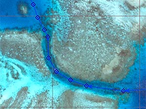
There are probably more waypoints than needed for the pass. I took these from my route. High tide is nice. Low tide in the pass is kind of scary.
Most of the time, when I see a pass that looks really tight on the chart, the real-life version, when we get to it, is wide open. Not so with this pass into Mana Island. I wish I’d taken my blood pressure after getting through but I’m not sure the gauge goes that high!
To make matters worse, as I was tootling along at less than 2 knots, a huge ferry came up behind me and started honking. I felt like I was back on an LA freeway. (OK, in retrospect, I think the ferry was trying to help guide us in: one honk – go to starboard, two honks – go to port. Thanks!)
Then we got a lot of help in anchoring by way of semi-frantic arm waving. We finally interpreted the arm waves as “anchor out near the reef” and when we did, we got thumbs up from the local boat drivers. So confusing. We didn’t end up anchoring anywhere near where the “Sloppy Johns guide” suggested. (Those who have used it on your iPads probably know what I’m talking about!)
Oh well, now we’re in. Time for the fun to resume. -Rich
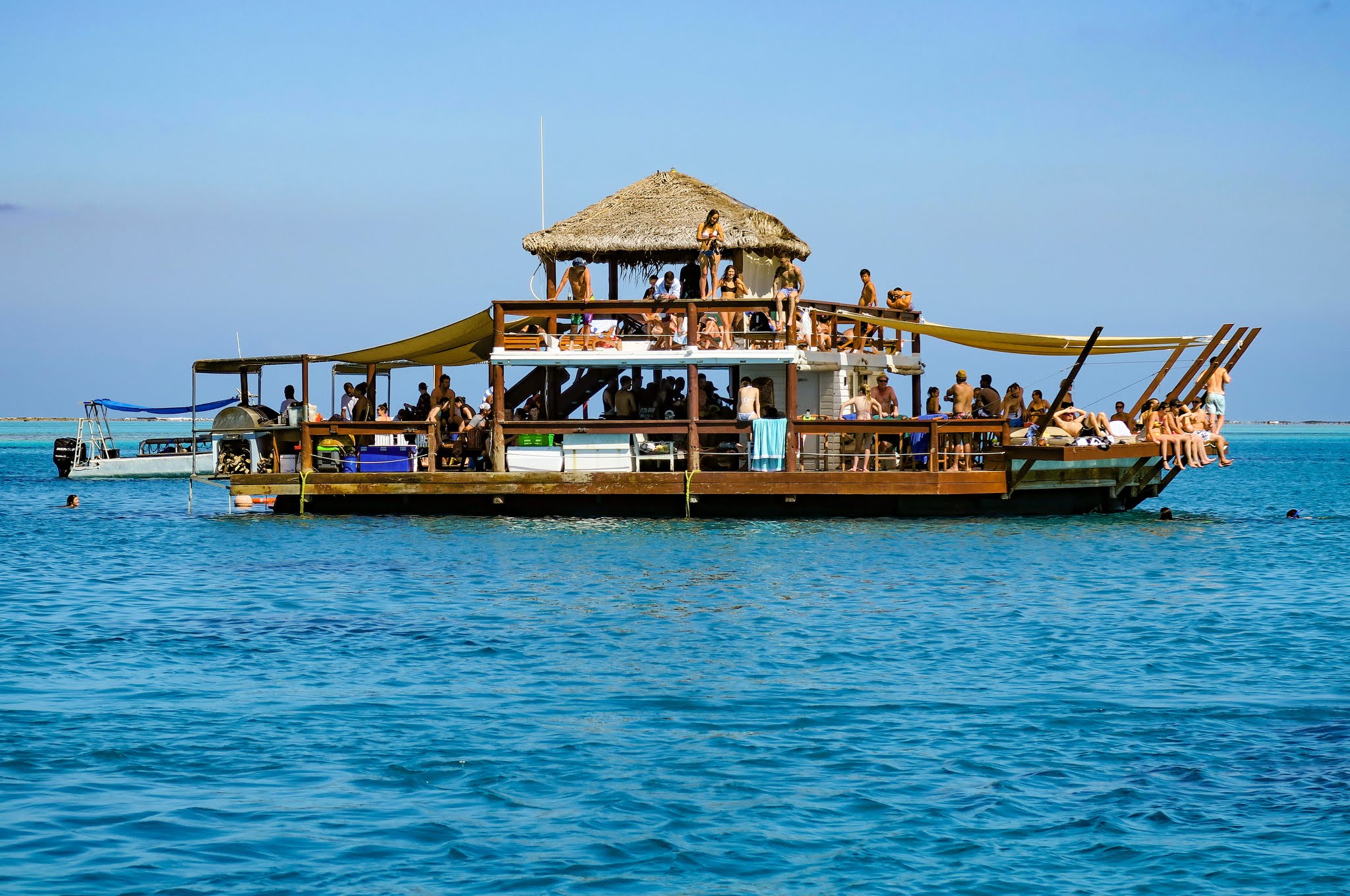
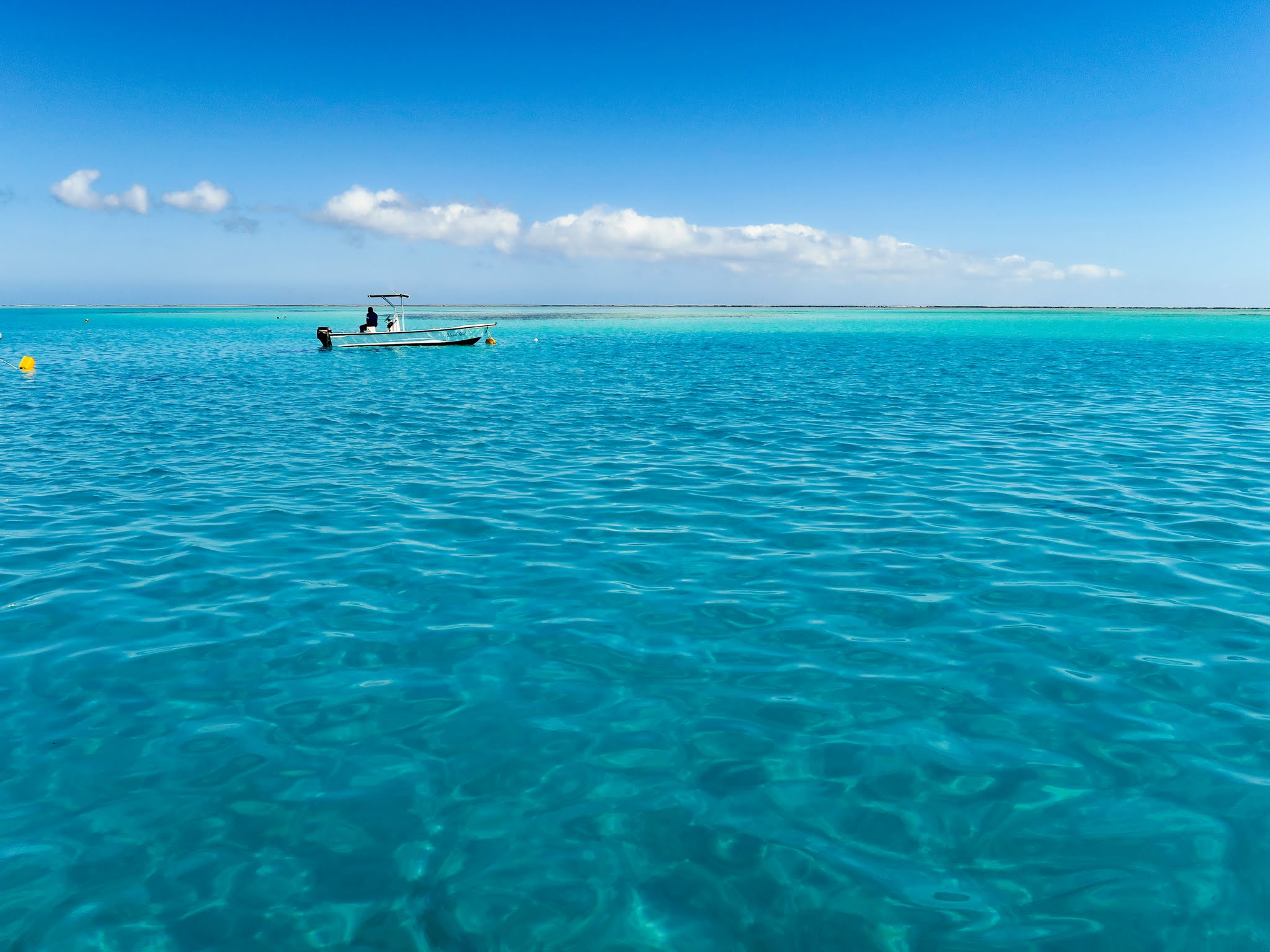
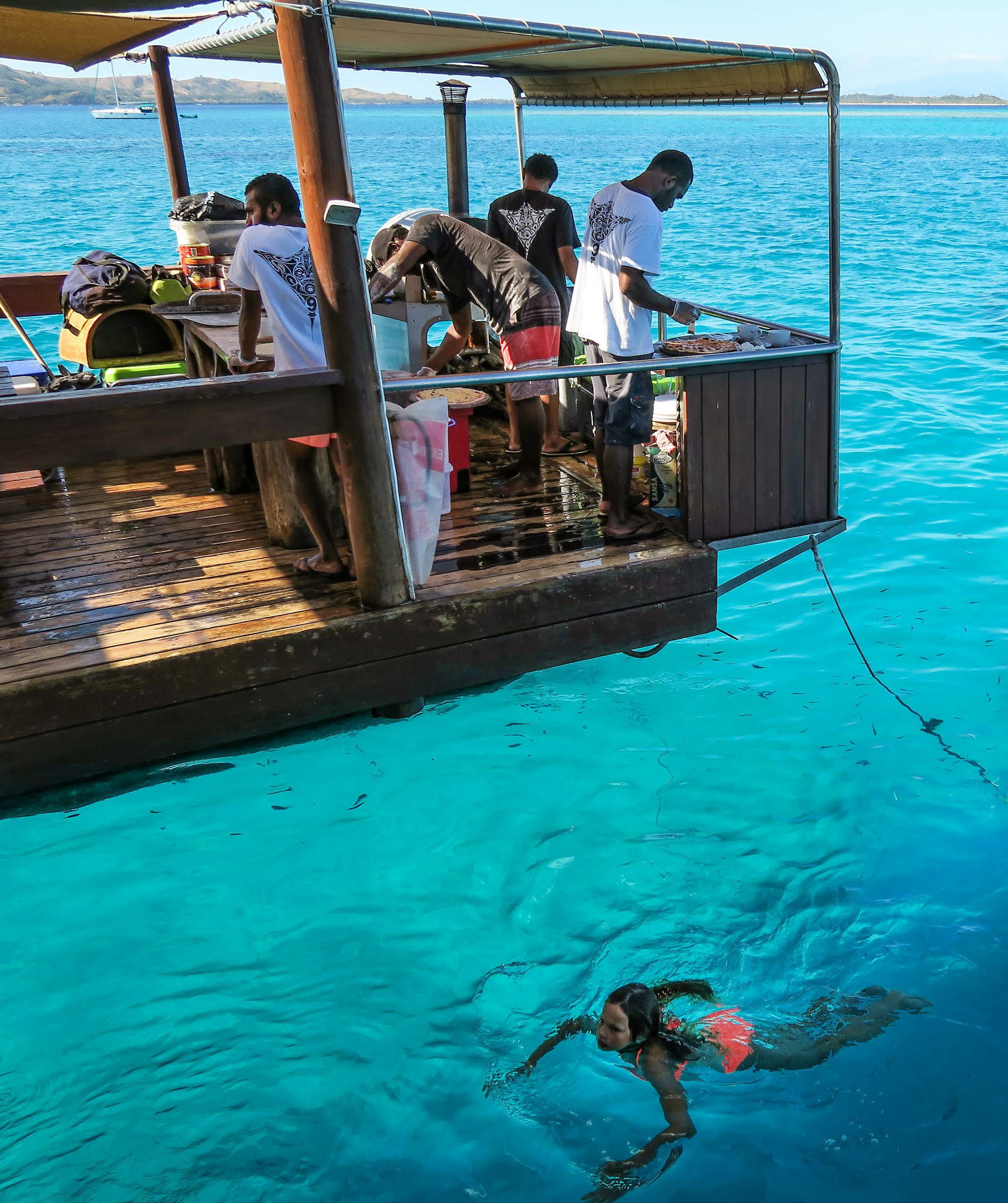
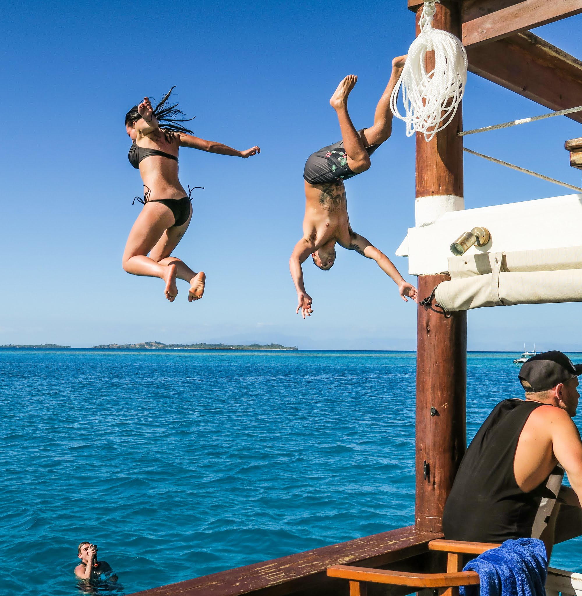
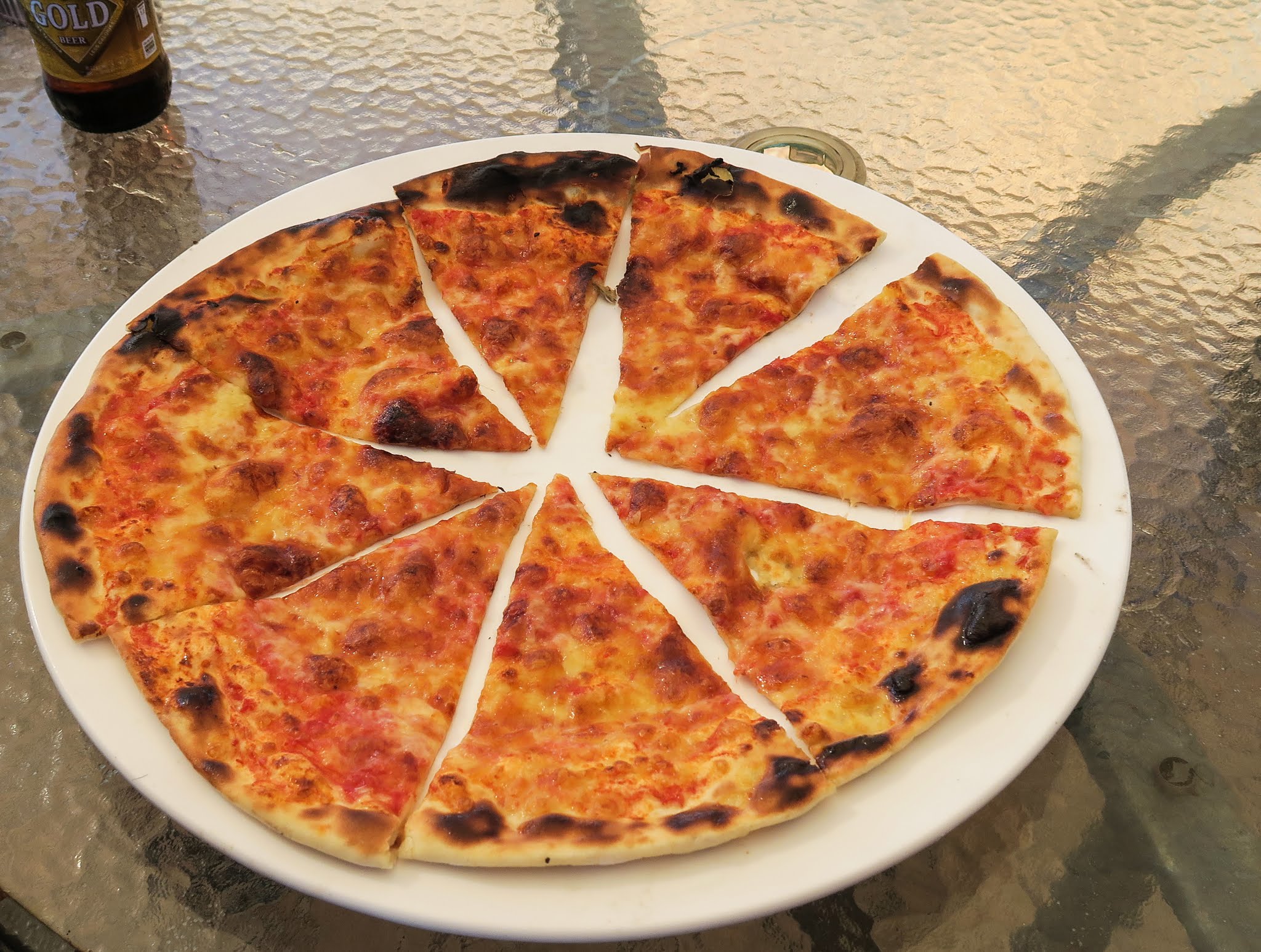
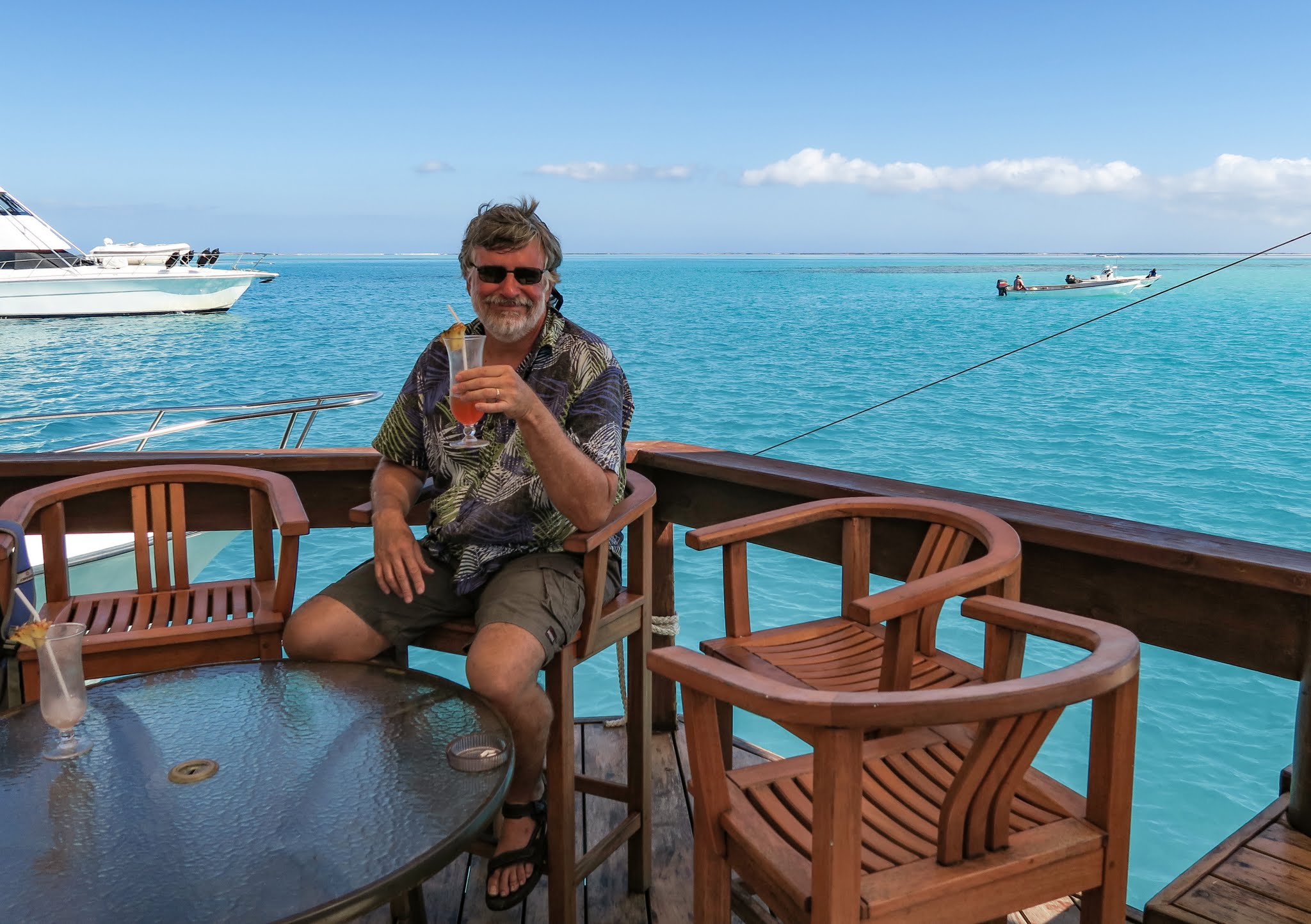
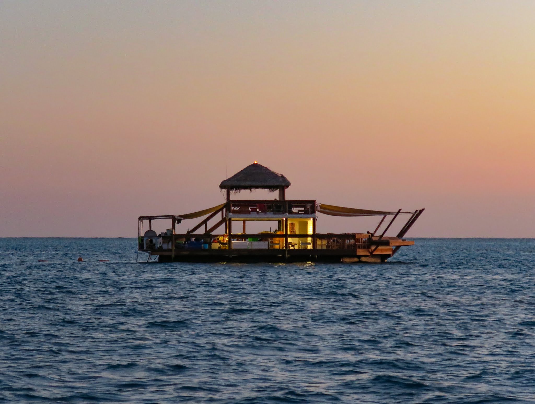
At last we had perfect conditions to anchor off the famous floating bar (and pizzaria), Cloud 9. It used to float in view of the famous surfing area, Cloudbreak, and thus was filled with surfing types. Unfortunately, after some politics, they had to find a new location.
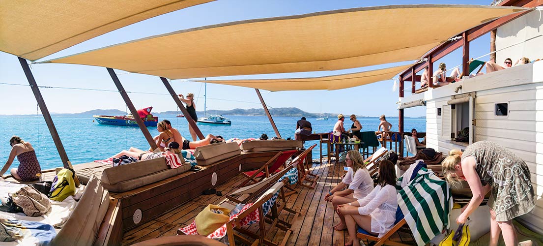
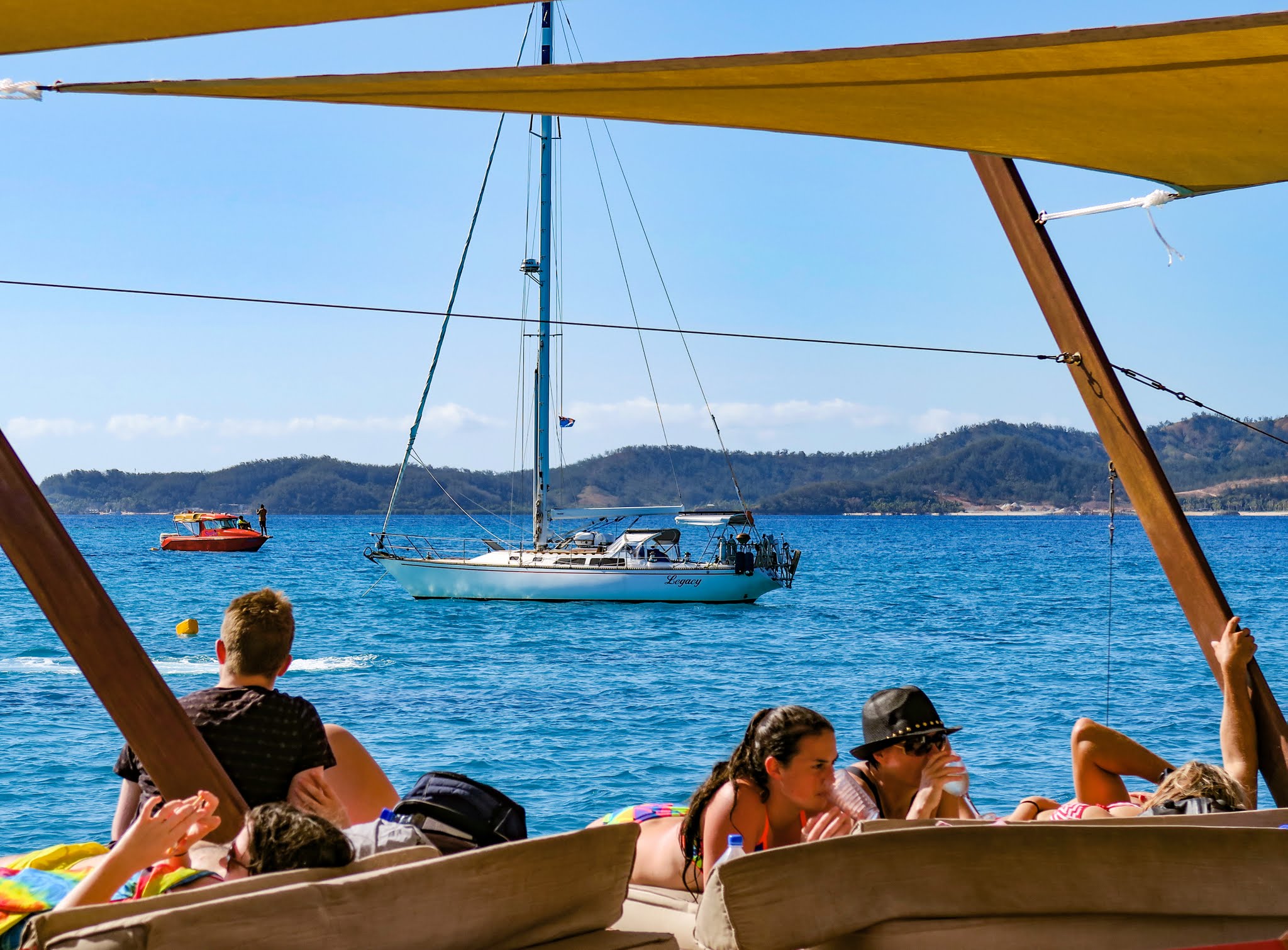
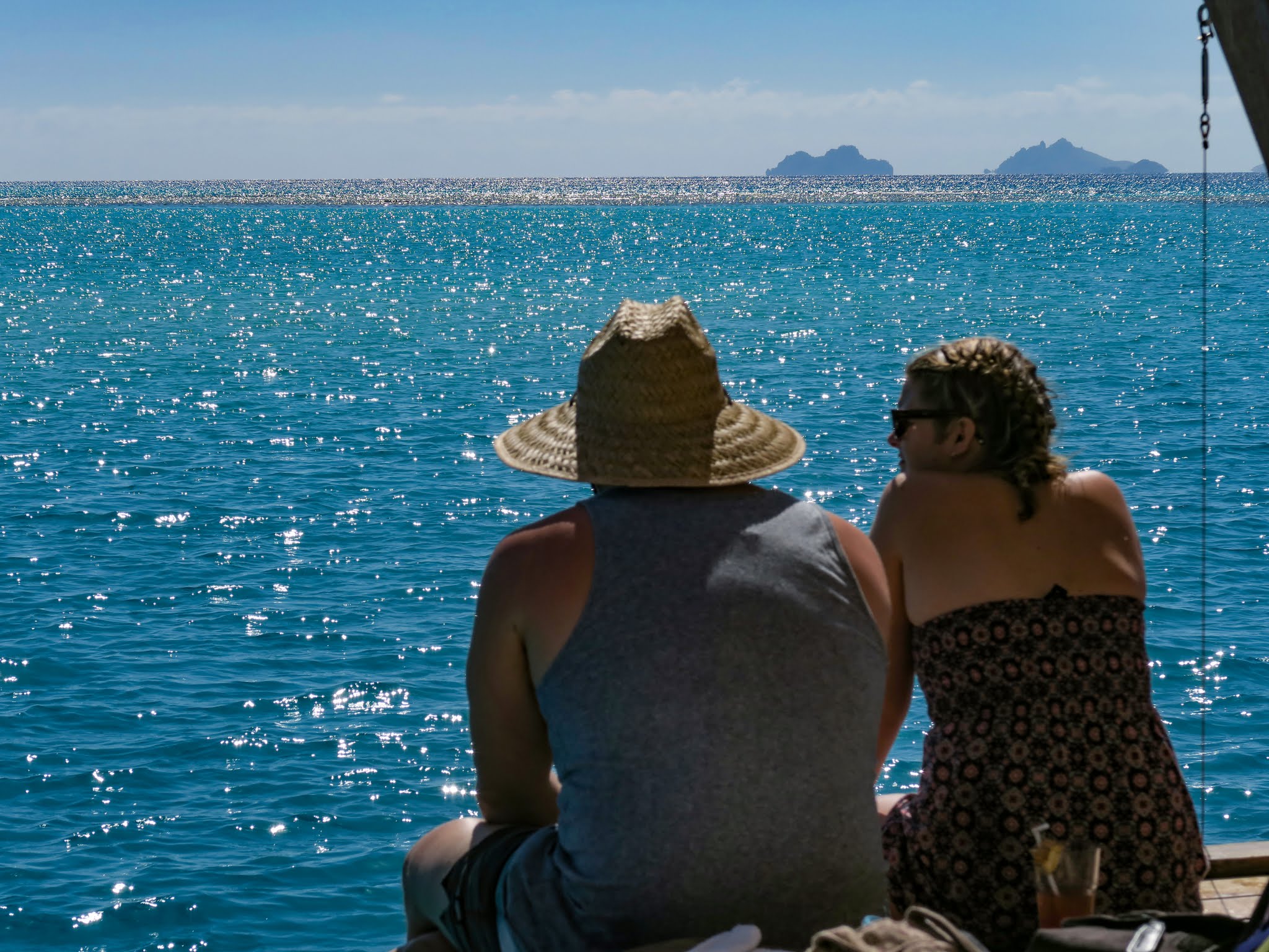
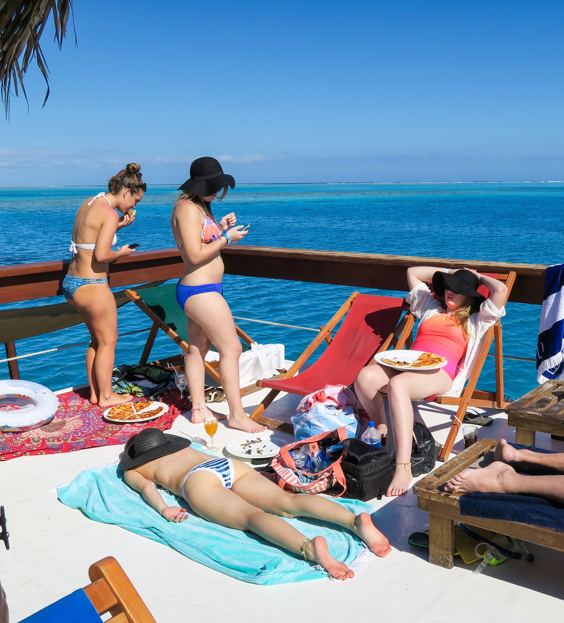
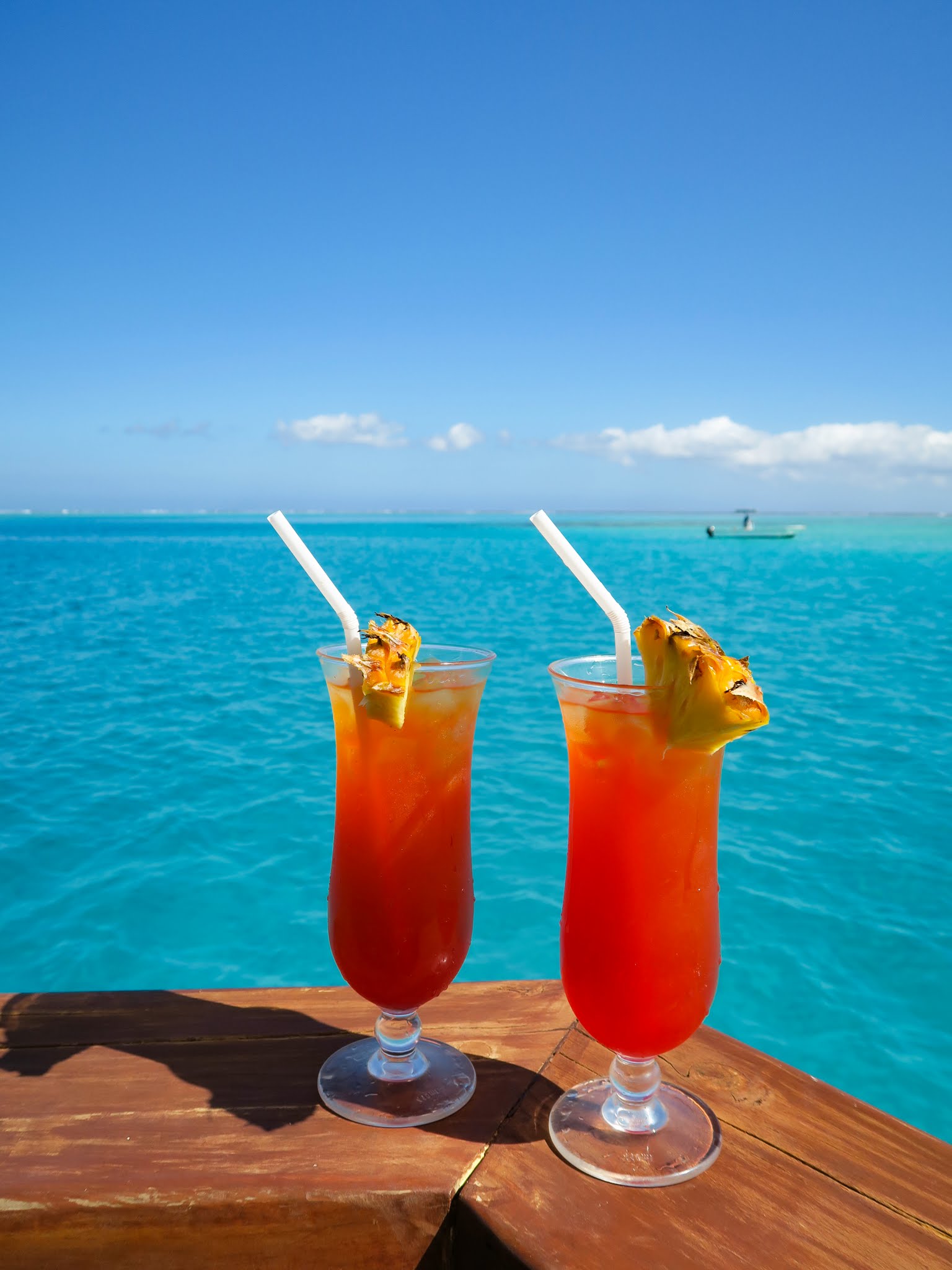
Well, they managed to find a great one! On the downside, it’s no longer in view of the famous surf break. On the upside, it’s in clear water with the most beautiful shades of tropical blues and a snorkeling area nearby. It may no longer have all the surfers, but it’s still very popular with the younger set and thus filled with beautiful bodies in swim trunks and bikinis. There’s a sprinkling of families and older people; so we didn’t feel totally out of place. In fact, we had a great time people watching, drinking great Mai Tais and eating very good pizza.
My biggest problem was the large-breasted girl in the string bikini who kept ending up in my photos of people jumping off the balcony! She was a distraction from the subject, and took me a long time to get a shot without her in it. It was mildly annoying, but I’m sure a lot of guys would love to have my “problem.”
If you like good pizza, strong drinks, a fun afternoon in the midst of a floating party, jumping off balconies in relative safety, swimming in beautiful blue water, relatively good (so we hear) snorkeling, having the adventure of doing something really different, or just watching the latest swim fashions modeled by remarkably good-looking young people, then you will enjoy Cloud Nine. –Cyndi (doing a rare current post).
Click to enlarge and scroll, and no I didn’t put in a photo of the large-breasted bikini babe who kept getting in the way of my shots!
For Reference: Here’s an interactive Google Map with Cloud 9 and Musket Cove.
Waypoints, for reference:
(We’ve just started adding waypoints to posts, in part, because some people are selling pretty expensive, pretty sloppy, pretty incomplete guides. Like others, we need to add a disclaimer so I’ll paraphrase the disclaimer that comes up on my chartplotter each time I turn it on: These are for entertainment only. You’d be a total idiot to rely in them!)
Cloud 9 is at 17° 47.780 S, 177° 08.283 E
We moored picked up one of their moorings at 17° 47.729 S, 177° 08.295 E
We anchored at 17° 47.693 S, 177° 08.320 E