Good-bye For Now, Beautiful Bay of Islands (Northland, New Zealand)

December 13, 2013

Hey, some of this stuff sounds familiar! What gives?

Anyone who reads our blog might notice my last four posts look and sound familiar. The reason: these December 2013 posts were previously tacked on at the end of our first season’s cruise (March 2013) through the Bay of Islands.

I’ve now done some revising of those posts and they now sit here their proper spot.

Our Bay of Islands itinerary this season was not very extensive in and of itself, but it did fill in missing pieces from our previous season. Below, a map showing our anchorages from both seasons. Not shown, but part of what went into our assessment of the anchorages, were the areas we explored by dinghy or motored through on our boat.

In all, I’m very happy with what we covered in two seasons and believe we managed to see the best places; so I decided to make a Bay of Islands Cruising Information page, which eventually expanded into a Northland Cruising Information page and is now called A Quickie Guide to Our Favorite Northland Anchorages and appears in the next post.

Yes, The Gateway cruisers guide (covering Northland and available free to all cruisers) has (uh, used to have) a guide to Northland’s anchorages, but thirty anchorages in the Bay of Islands alone felt overwhelming to sort through. I believe our list separates the wheat from the chaff.

Update from 2019: Come to find out, the 2019 Gateway Guide no longer includes the Spot X Guide to Northland’s anchorages (which had about seventy anchorages in areas including the Bay of Islands, Whangaroa and the Cavalli Islands, Poor Knights Islands, and the north coast). Instead, they steer cruisers to a company that sells very similar cruising guides. It seems a little unfair that now there’s a charge for something that’s always been included for free, but the way things have gone in Opua the past couple of years, this does not come as a big shock.

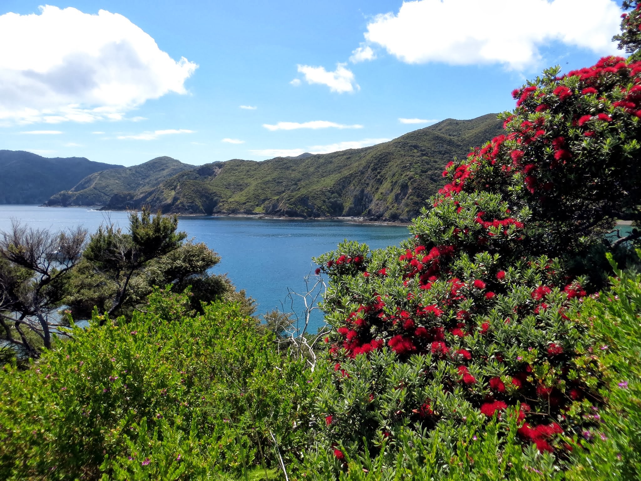
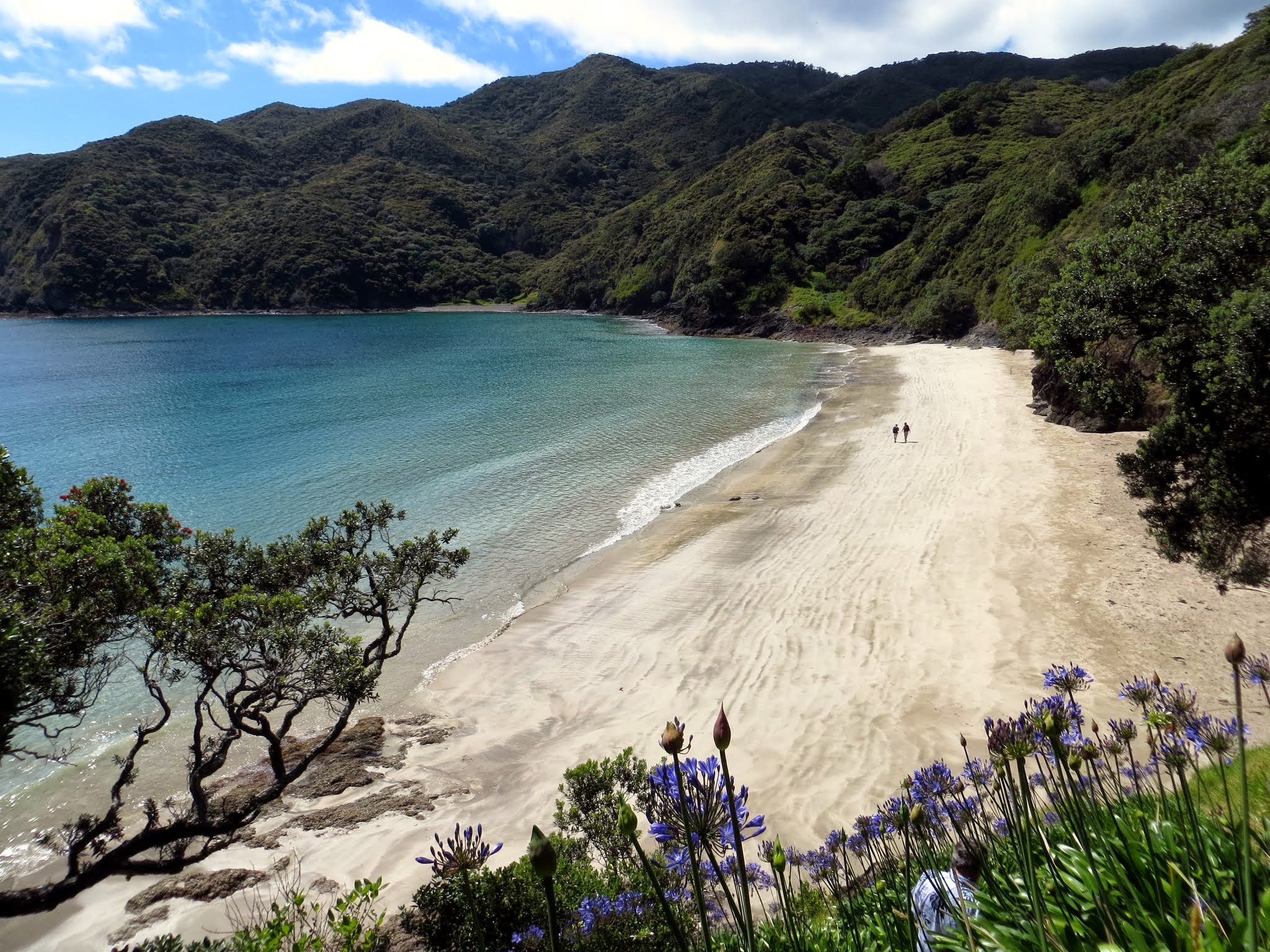
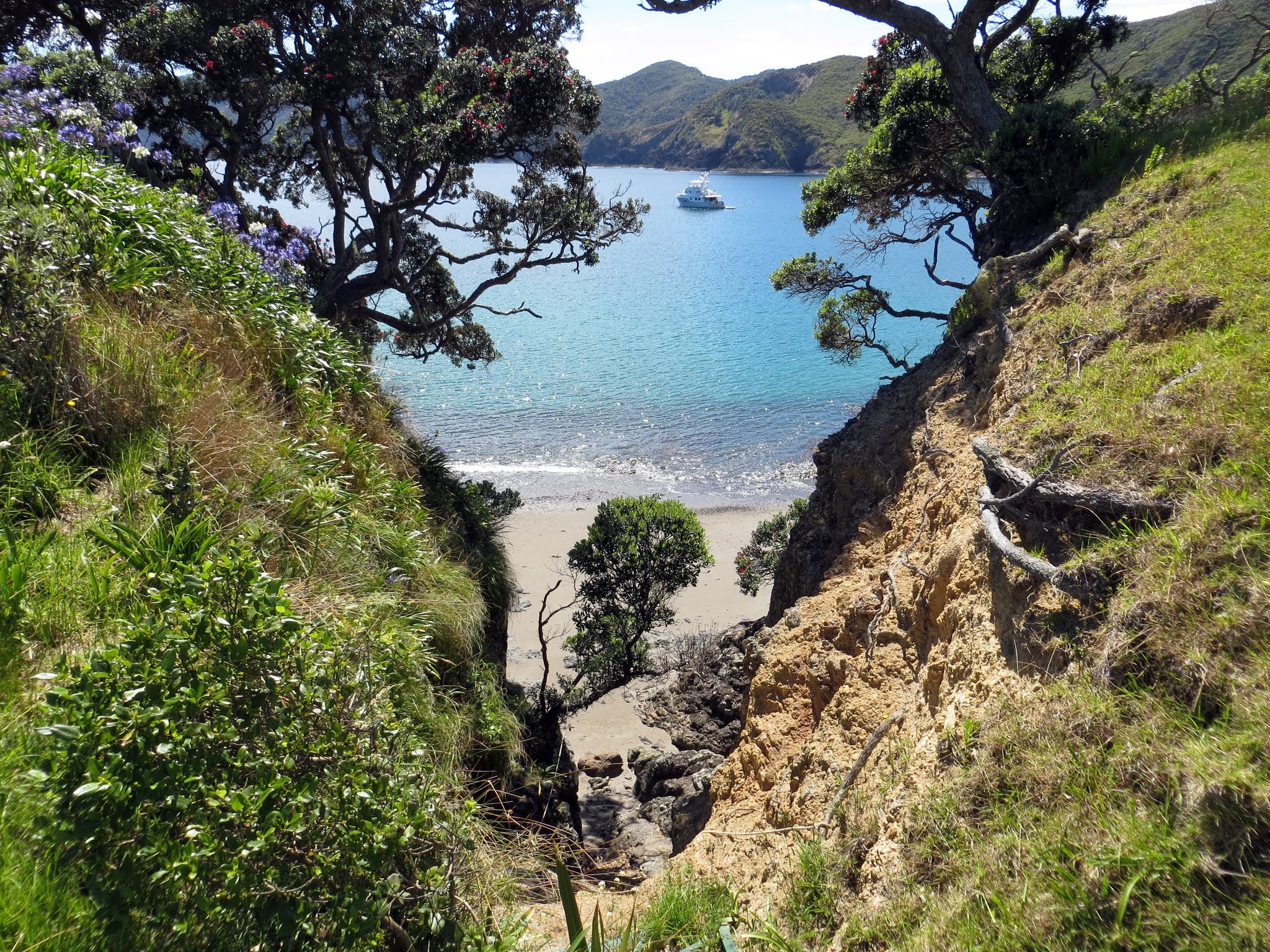
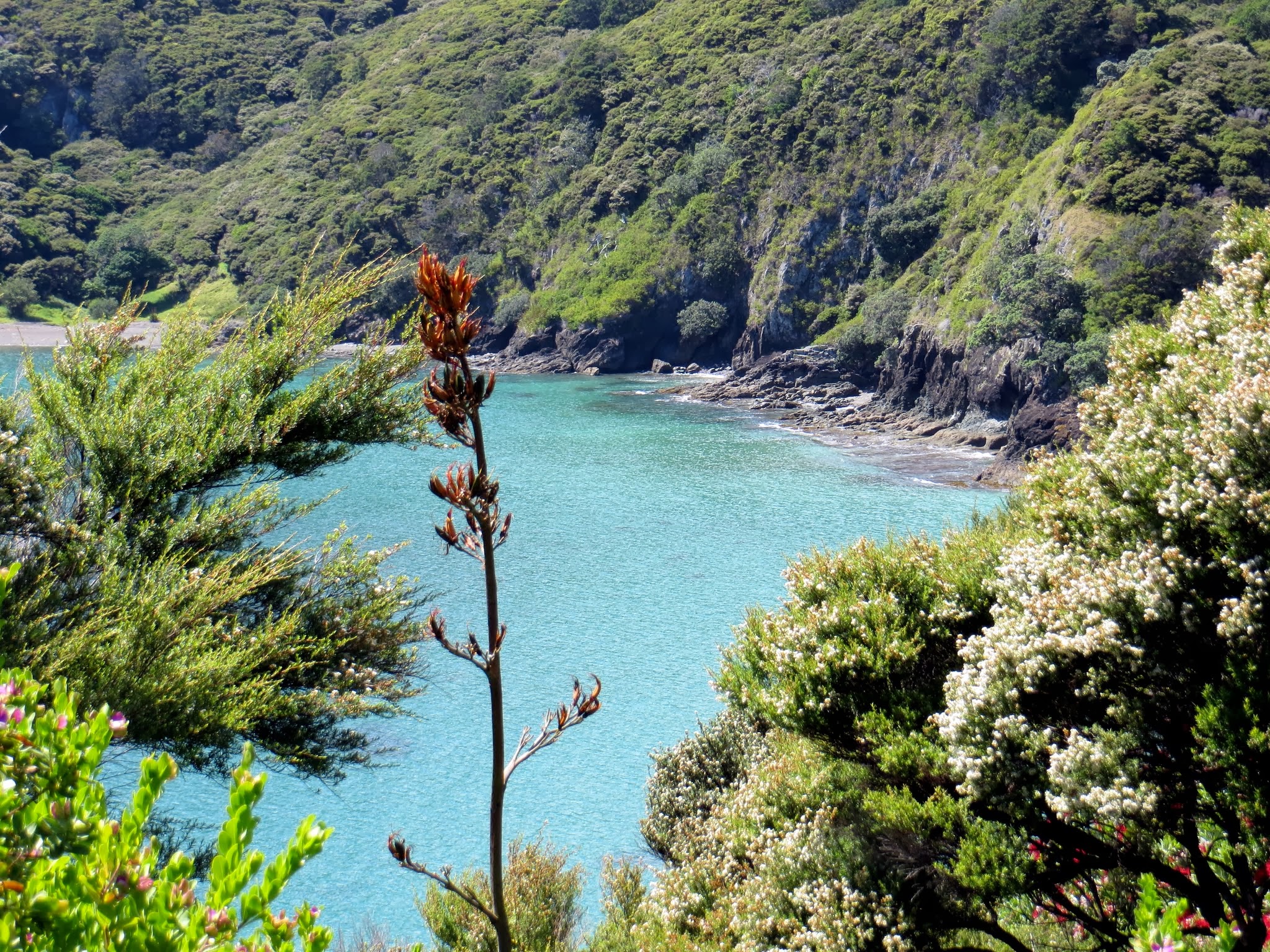
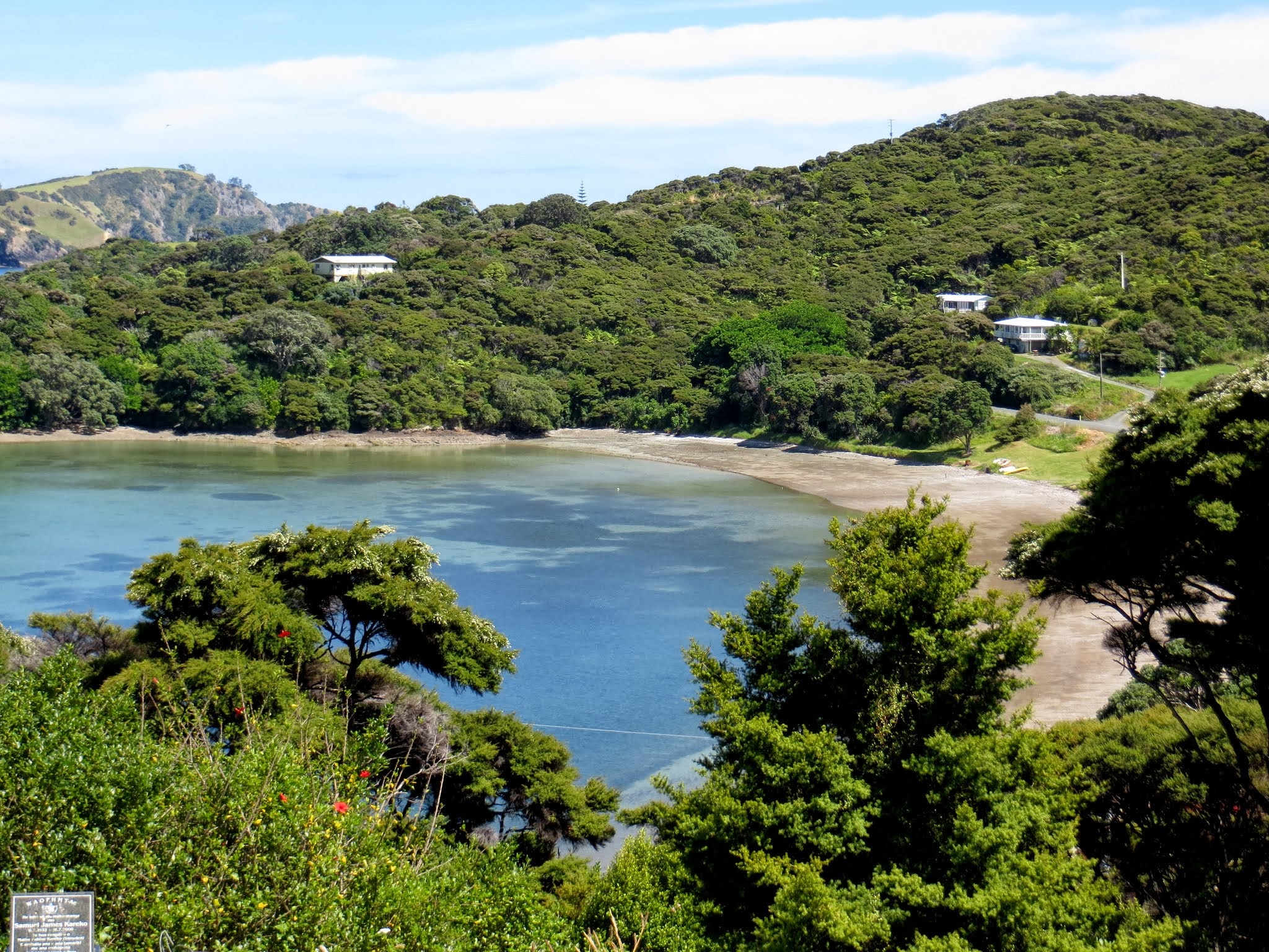
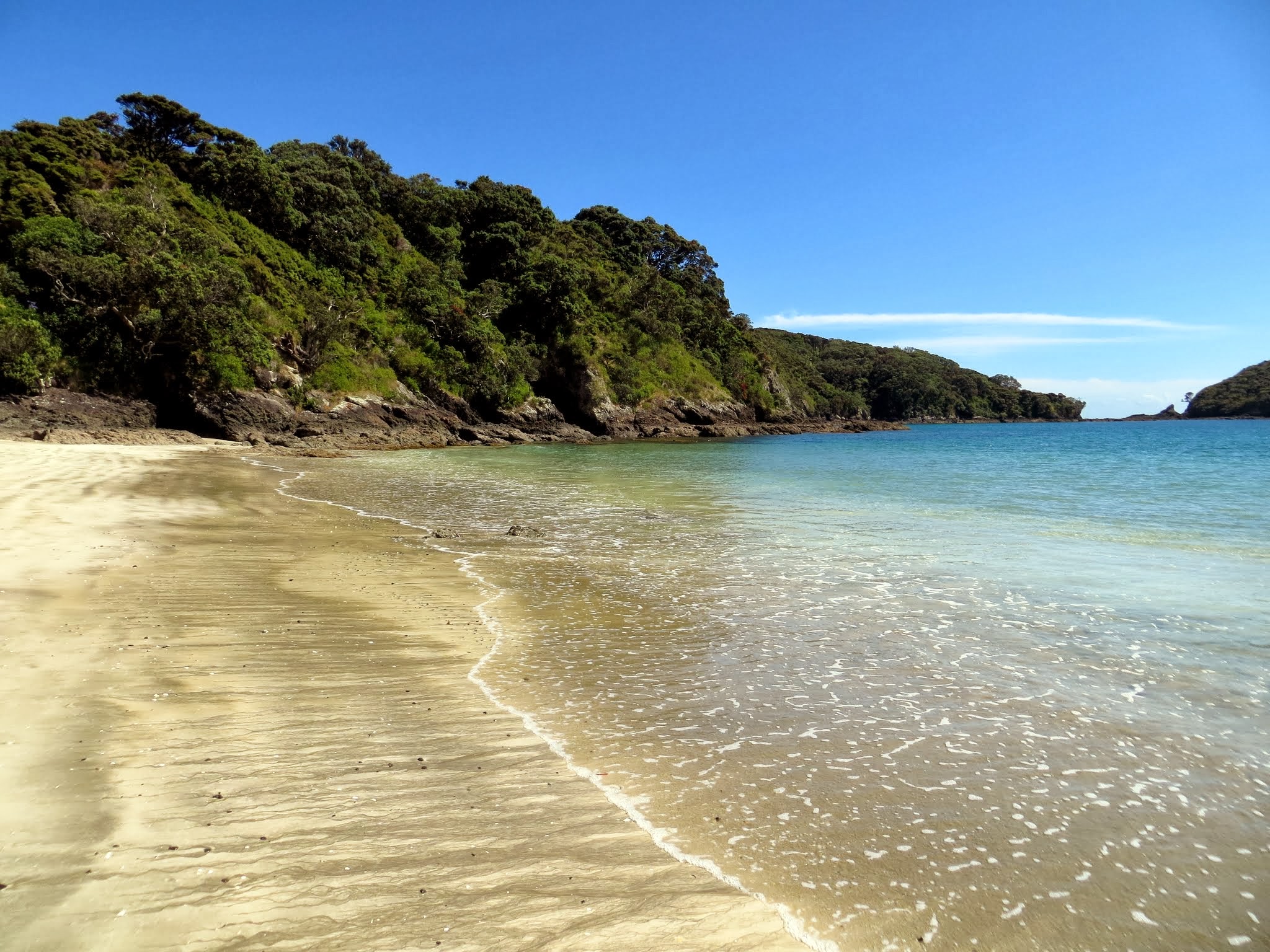
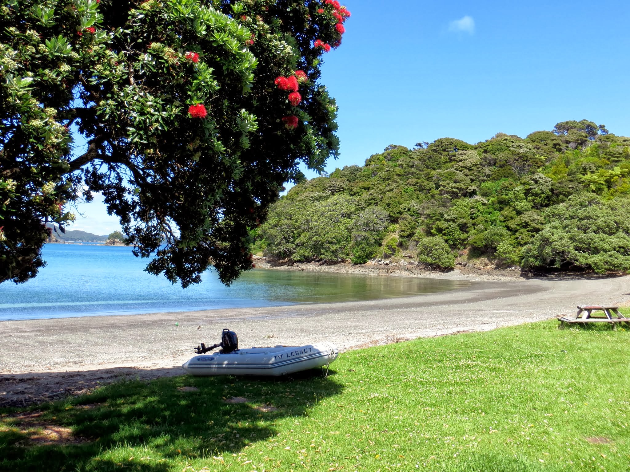
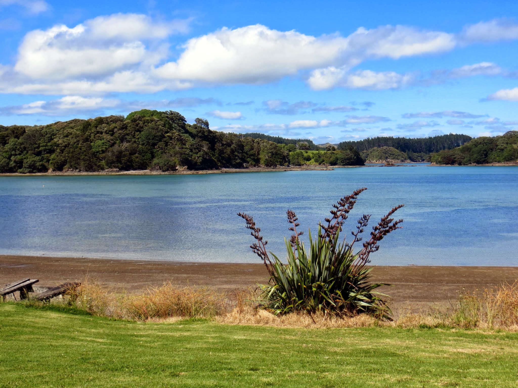
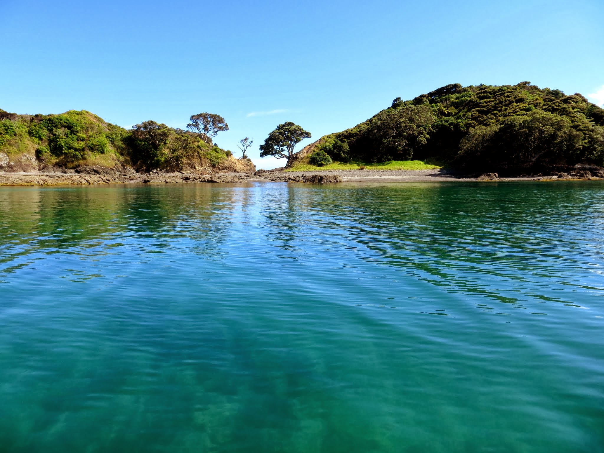
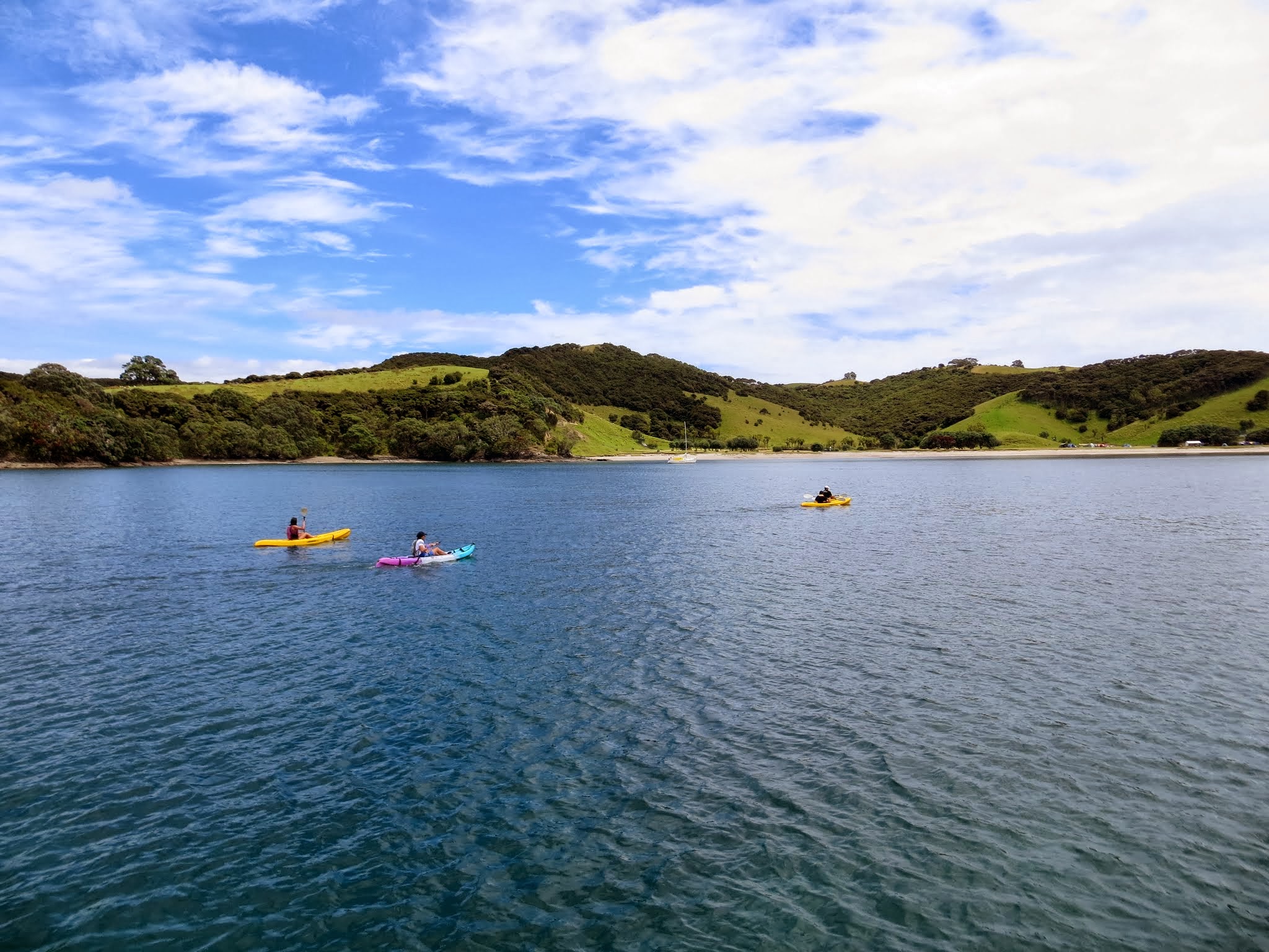
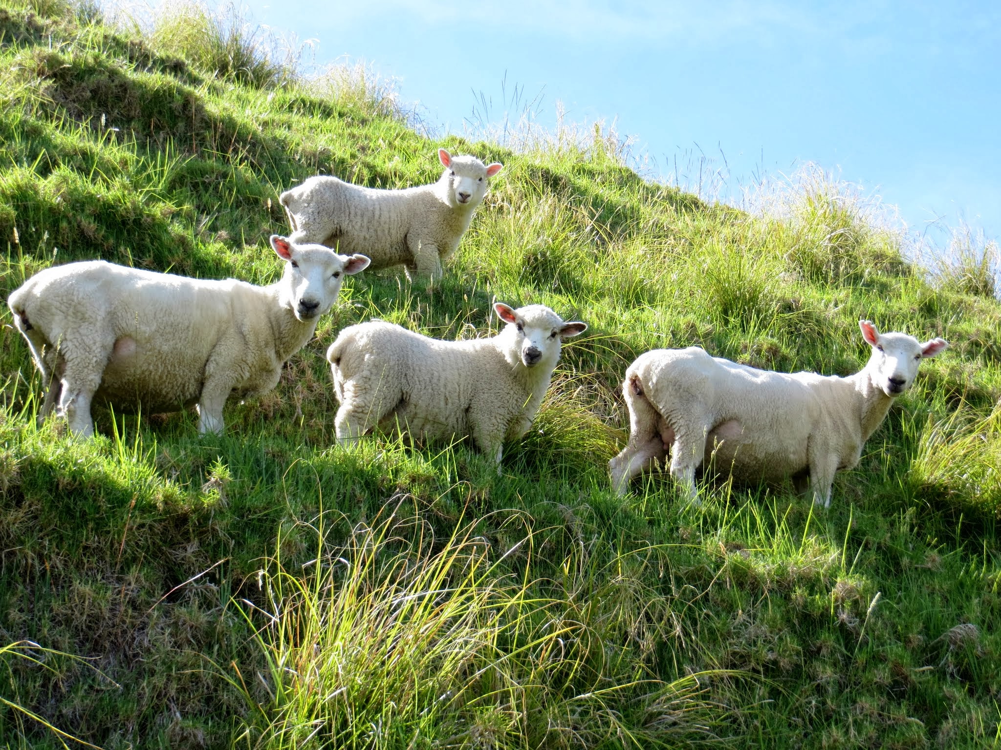
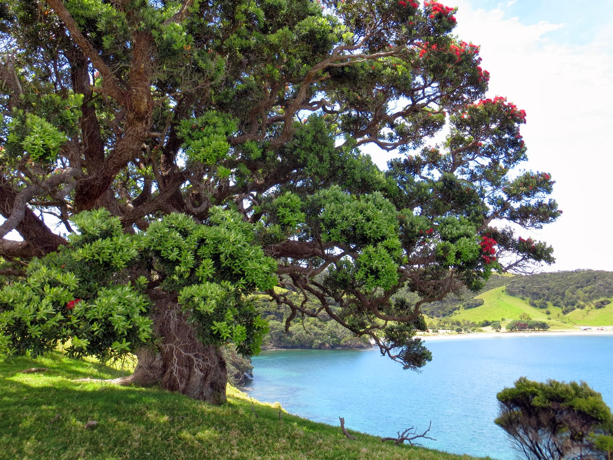
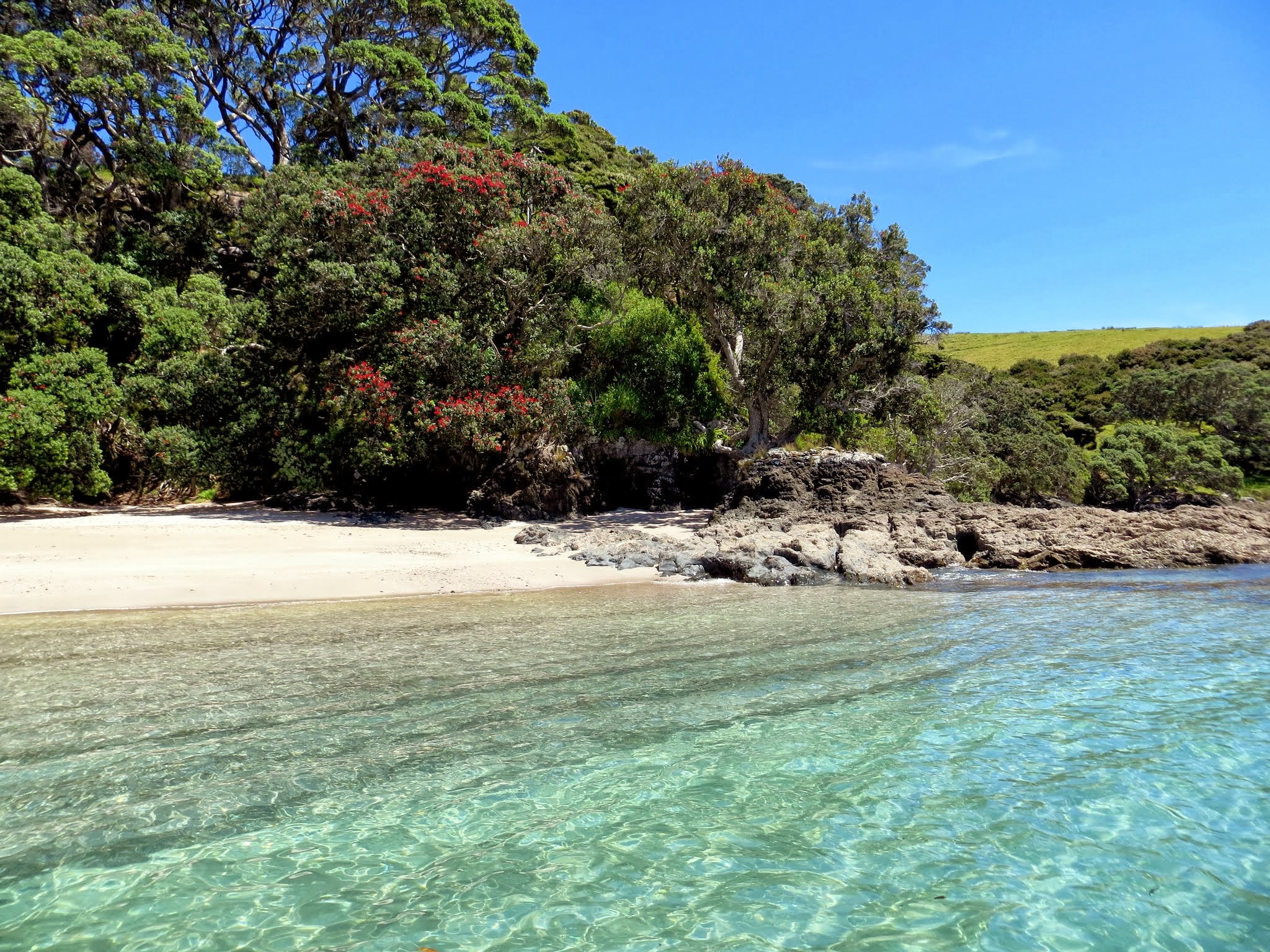
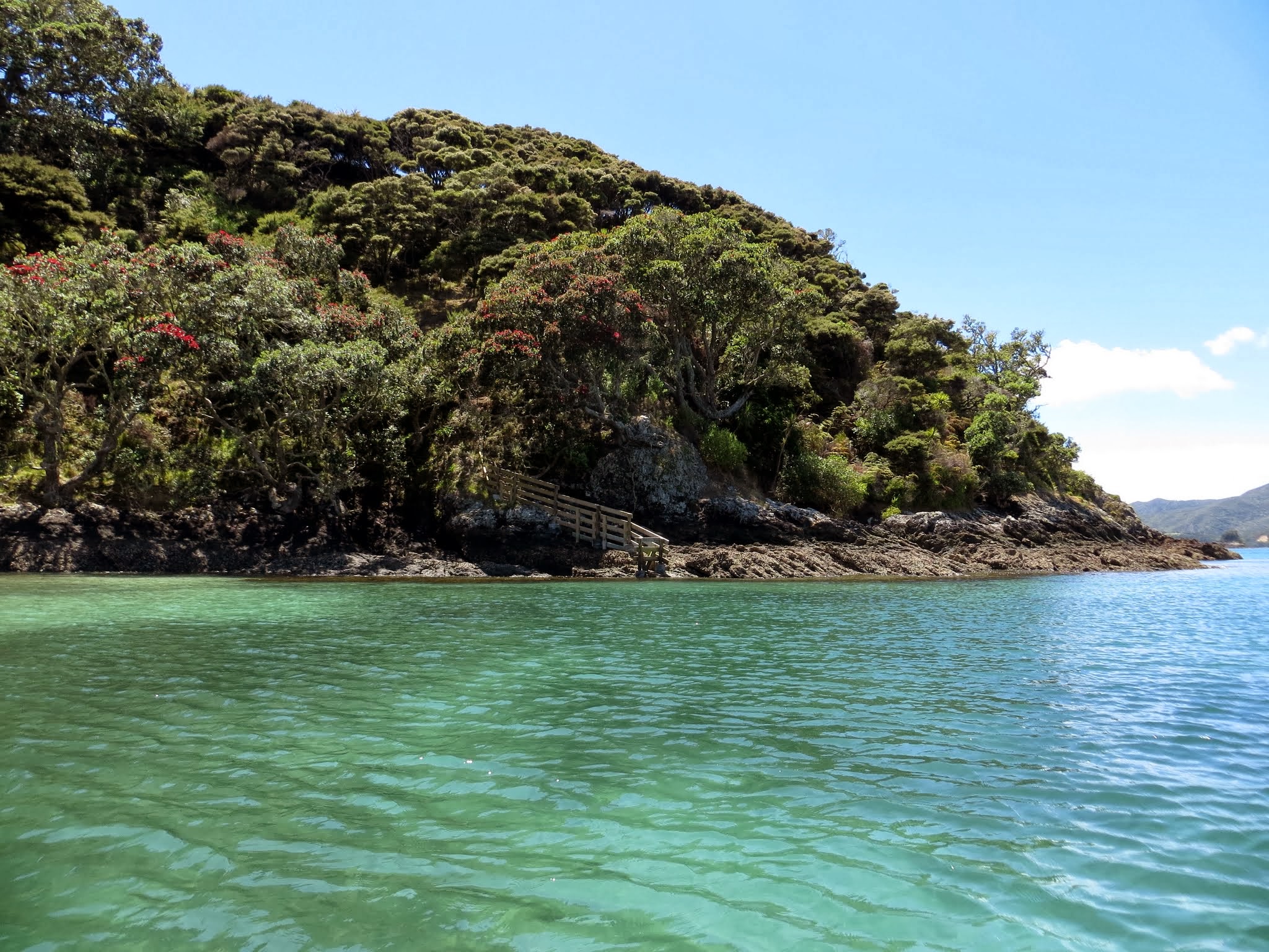
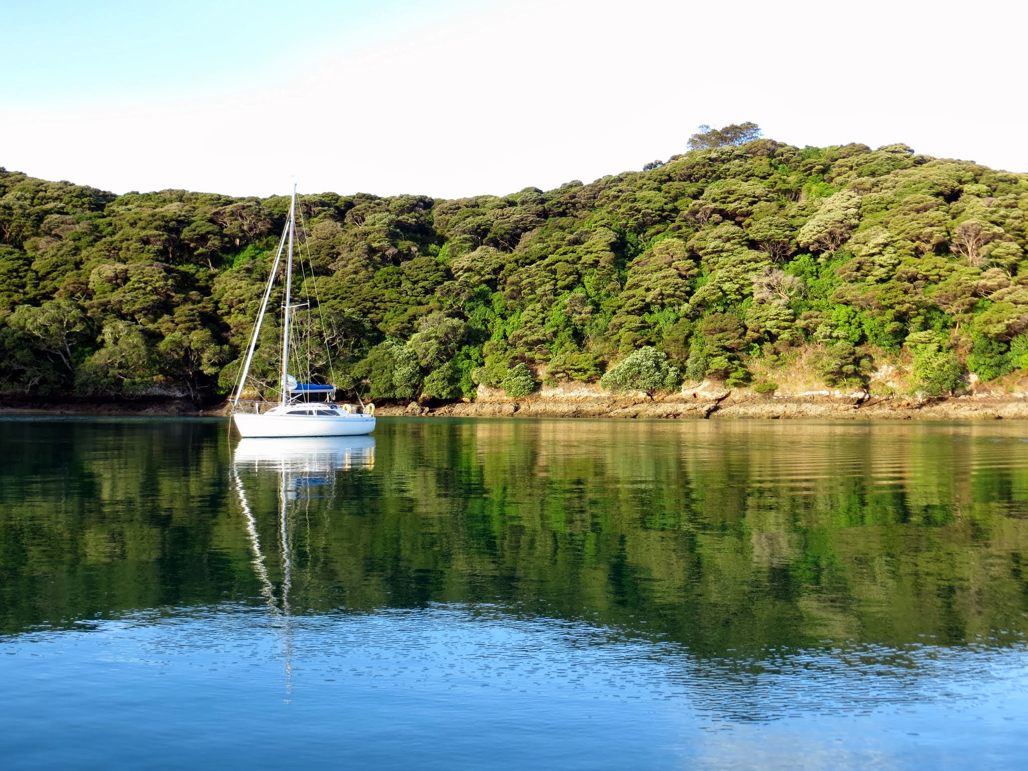
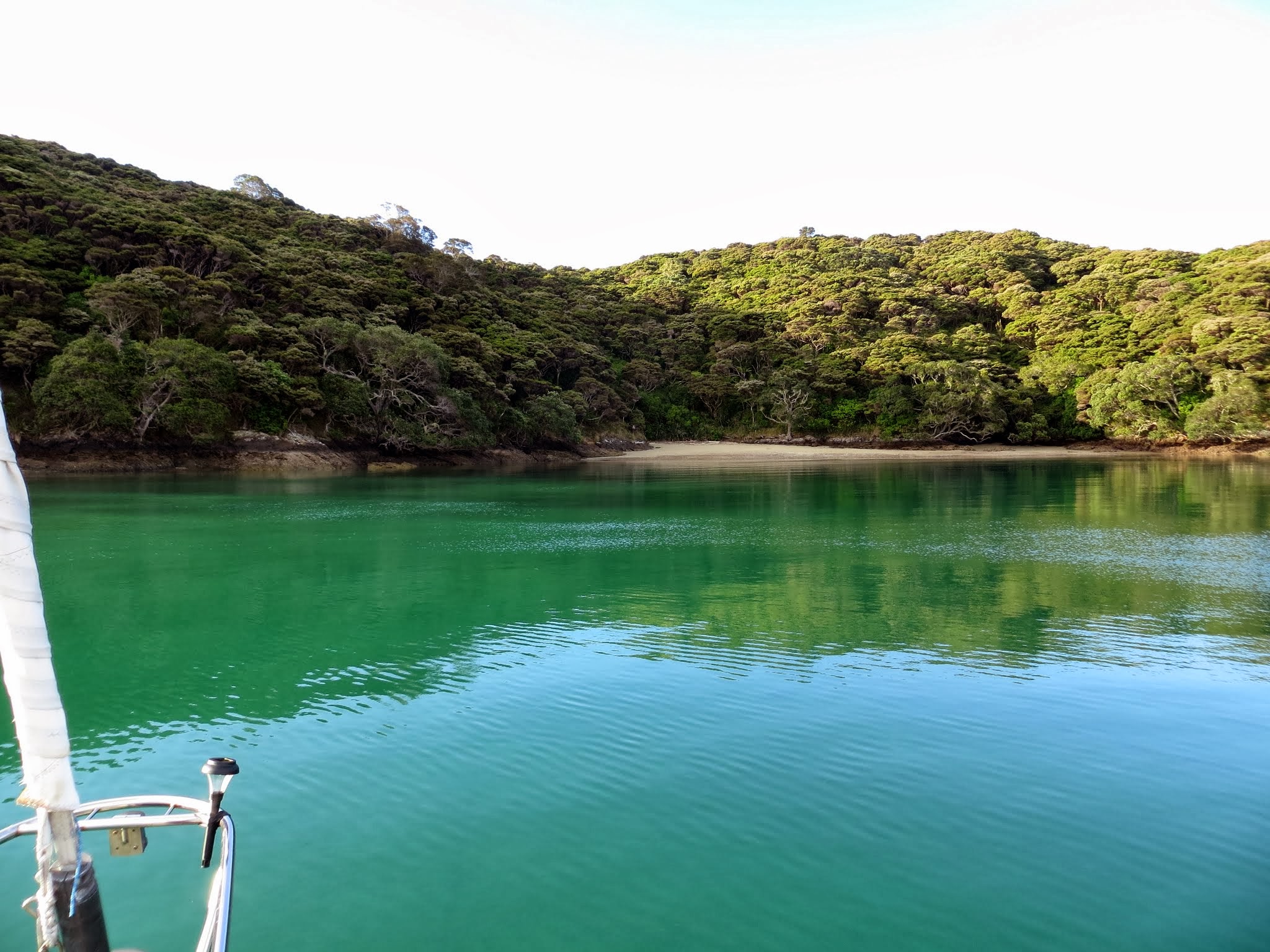
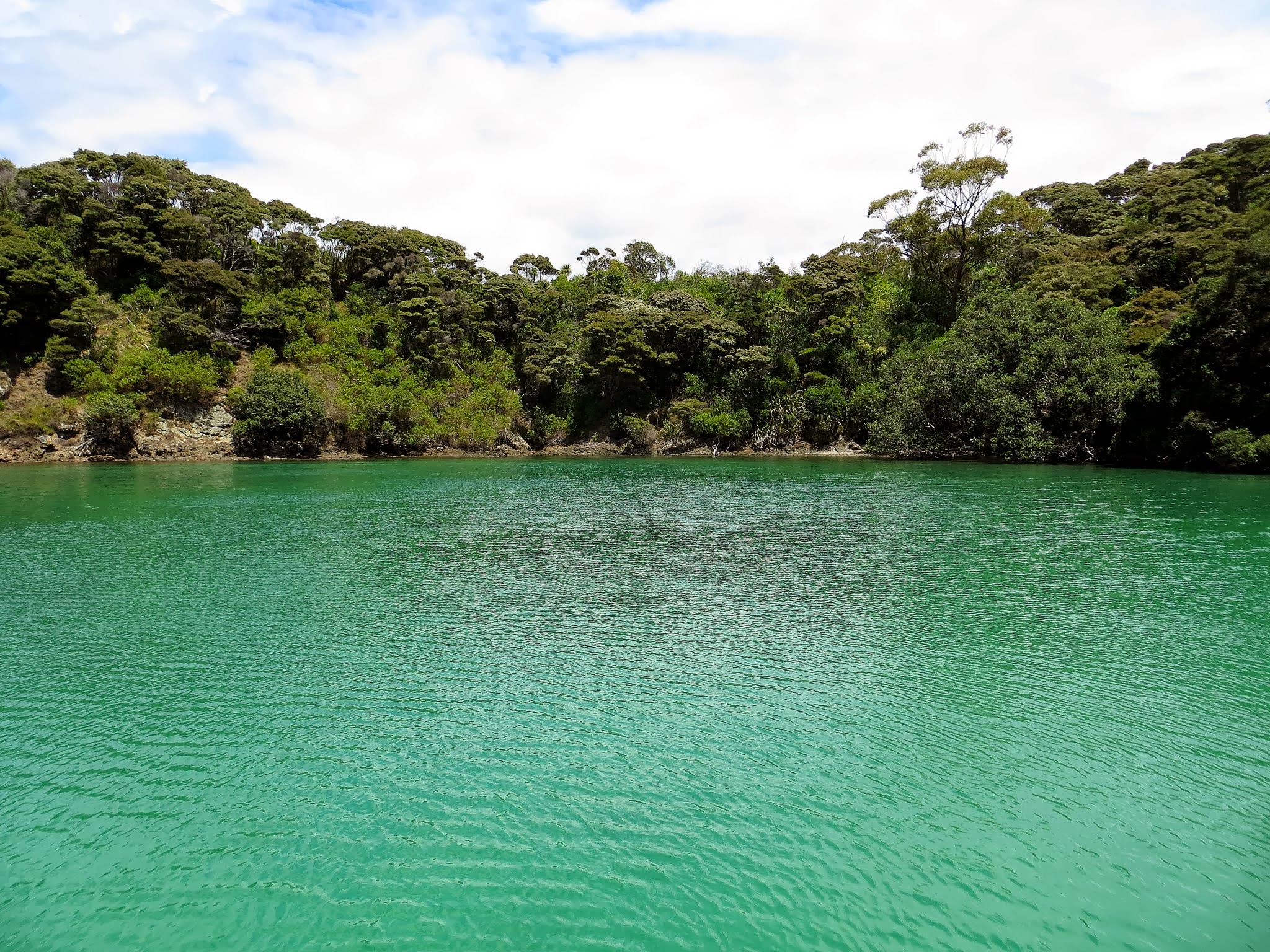
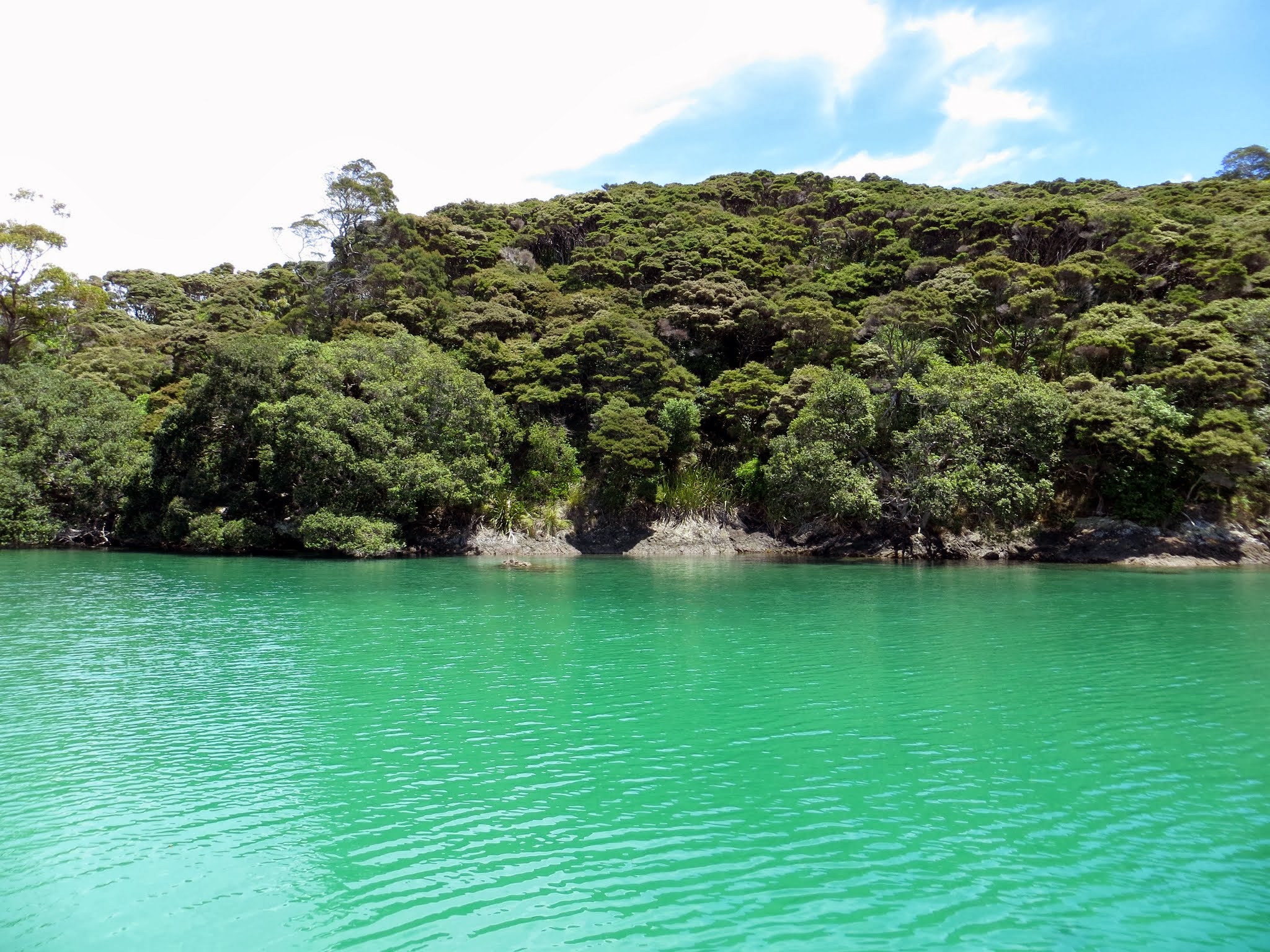
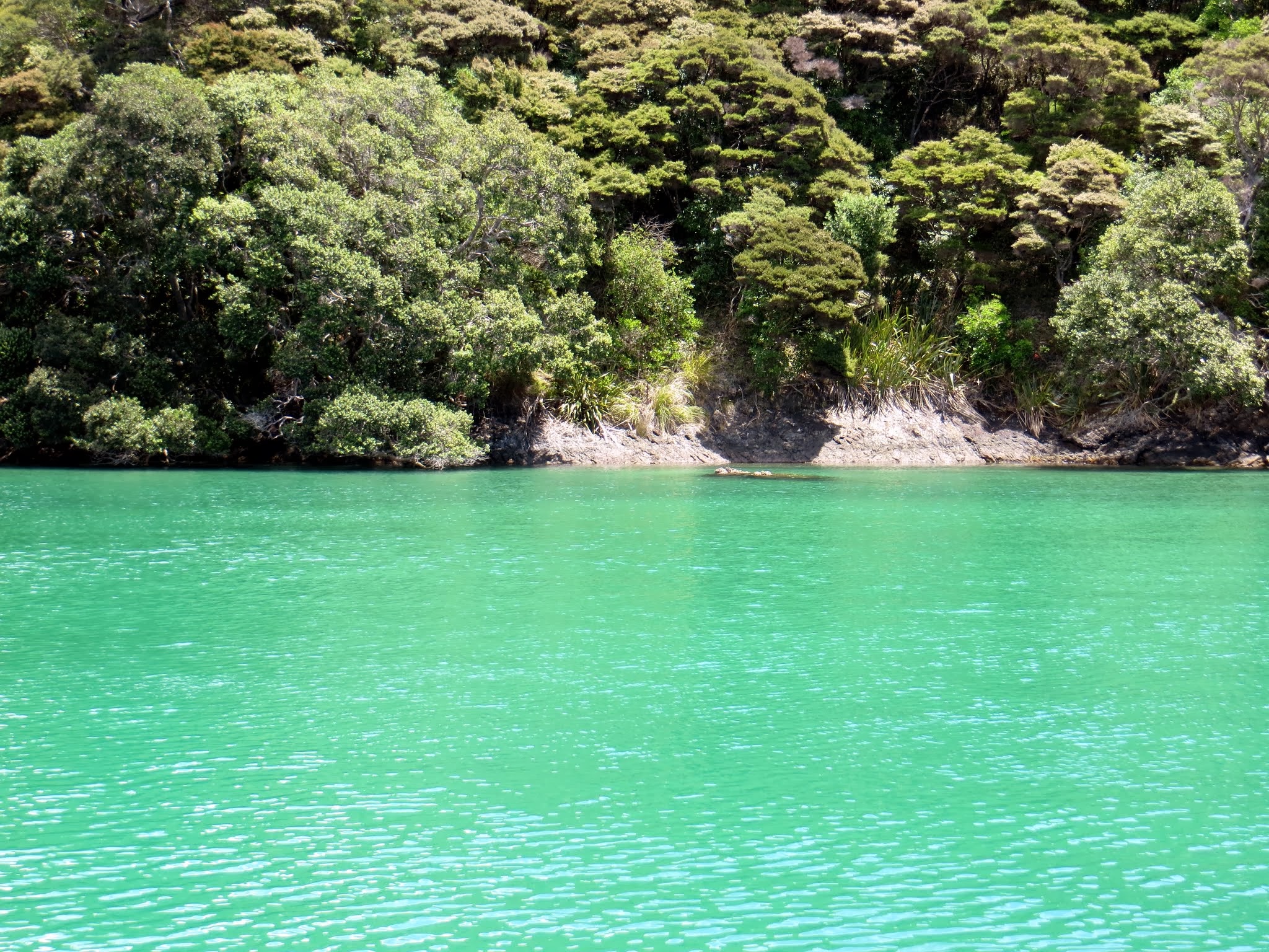
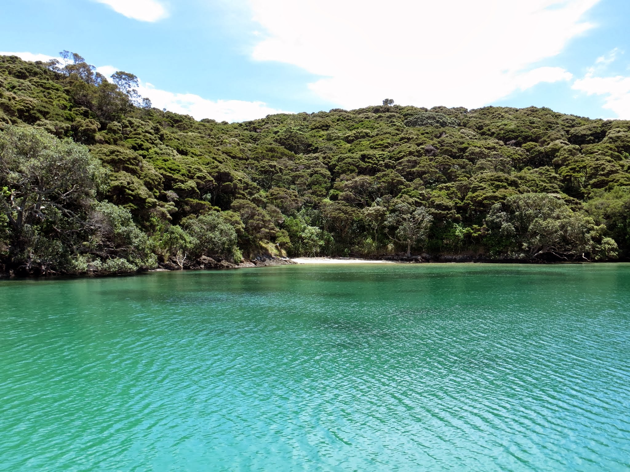
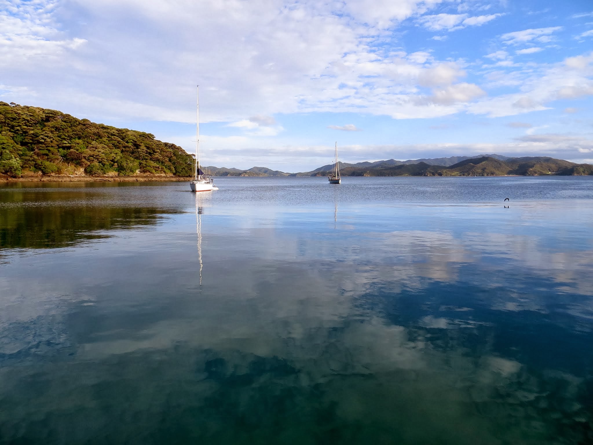
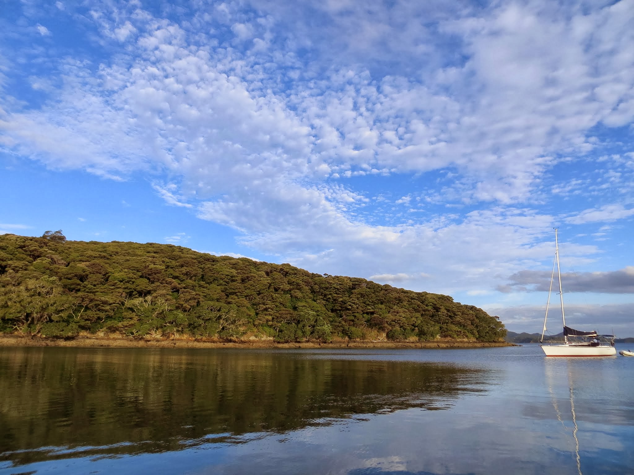
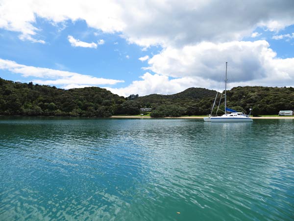
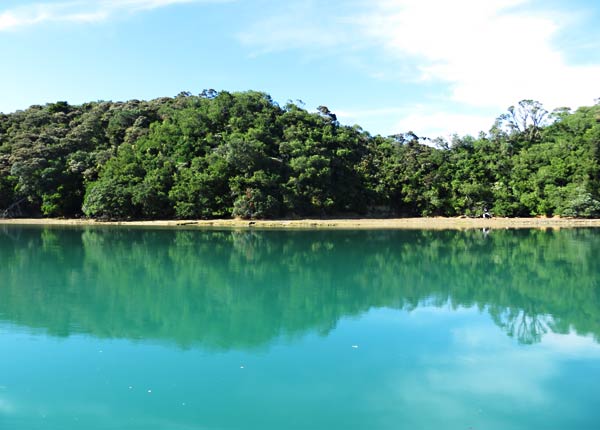
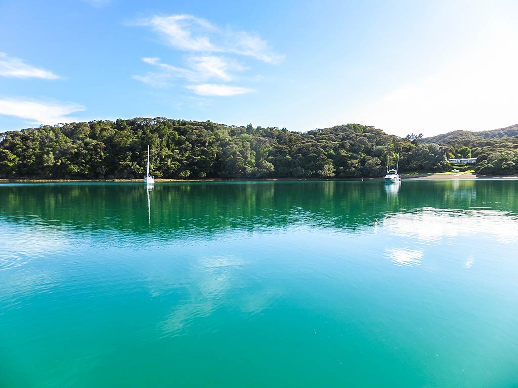
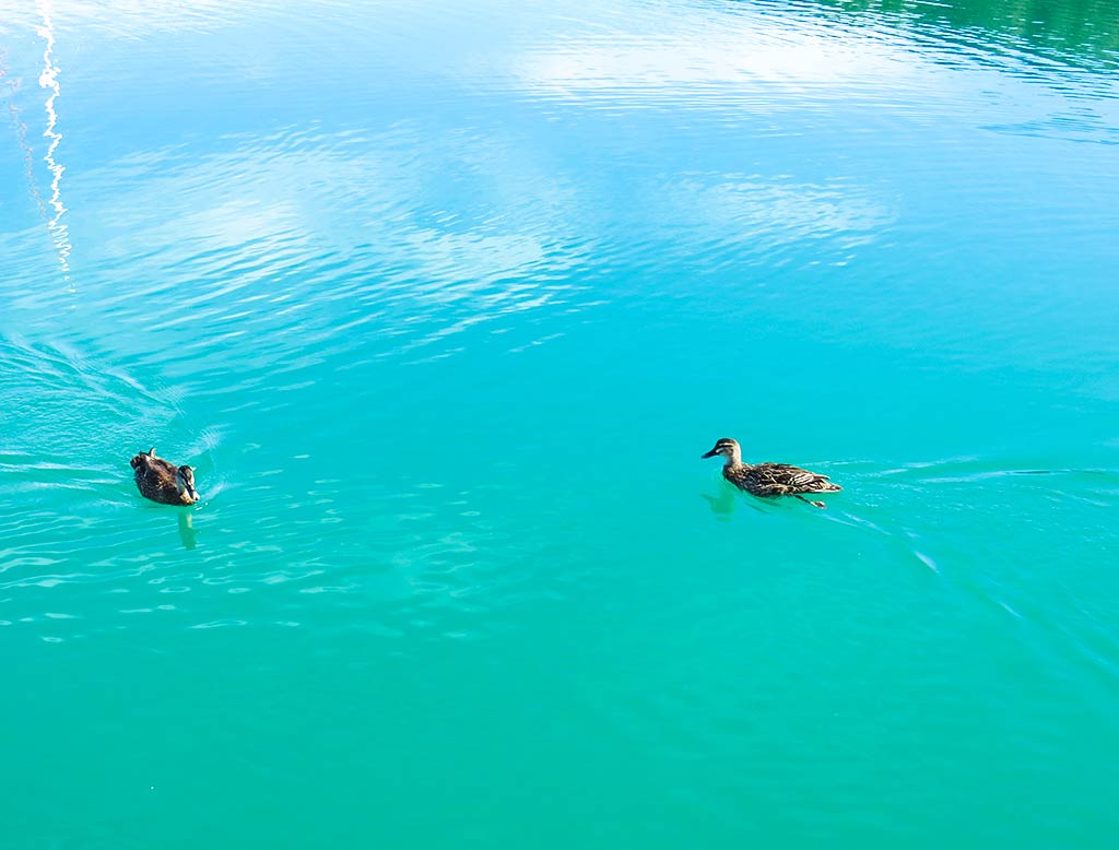
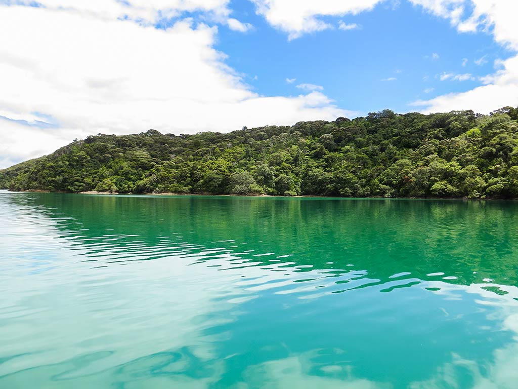
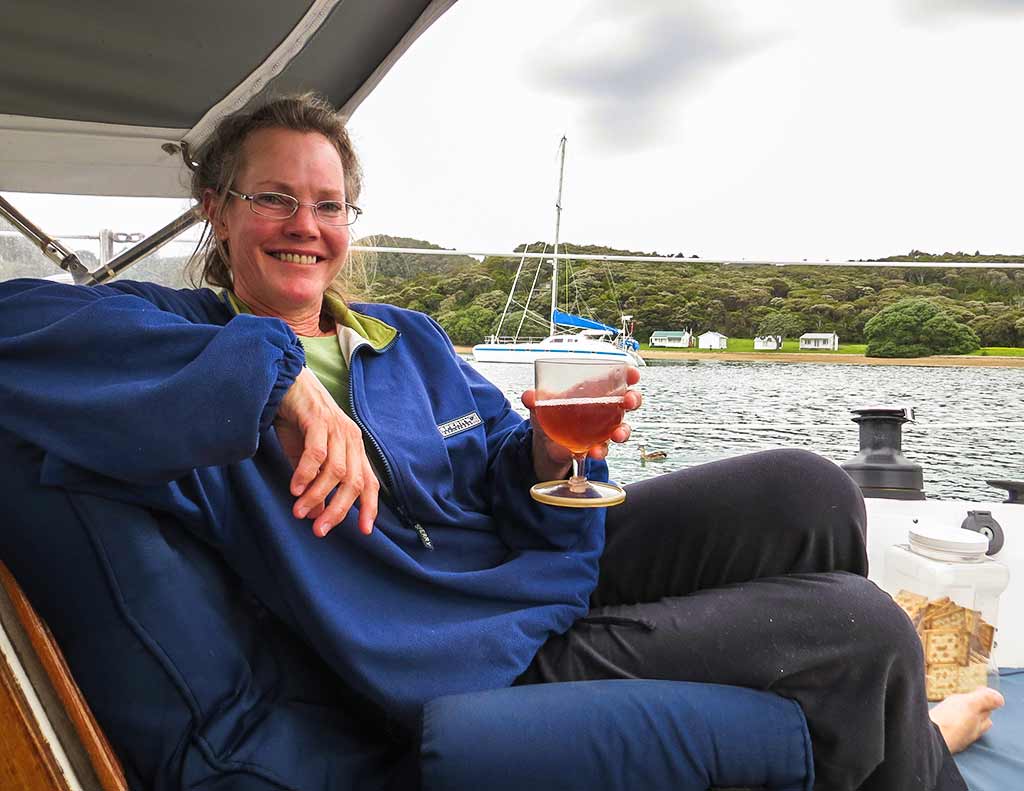
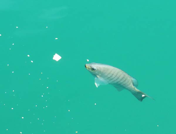
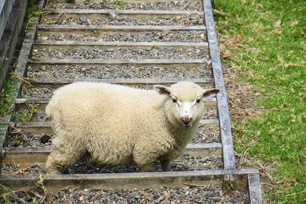
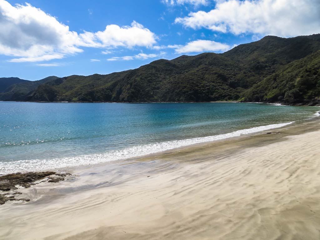
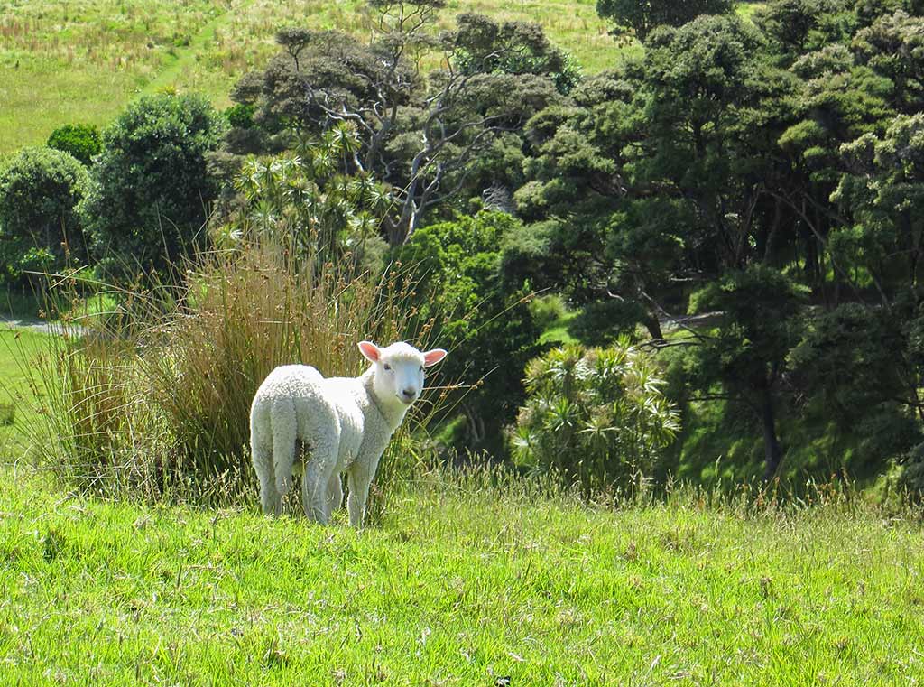
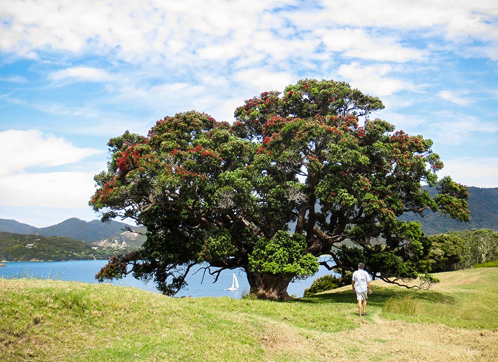
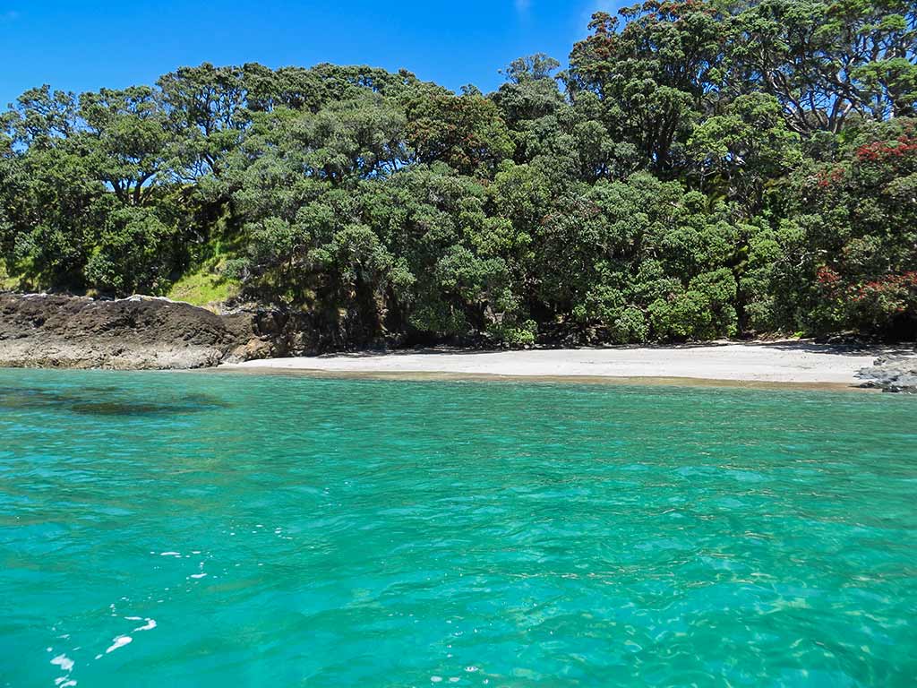
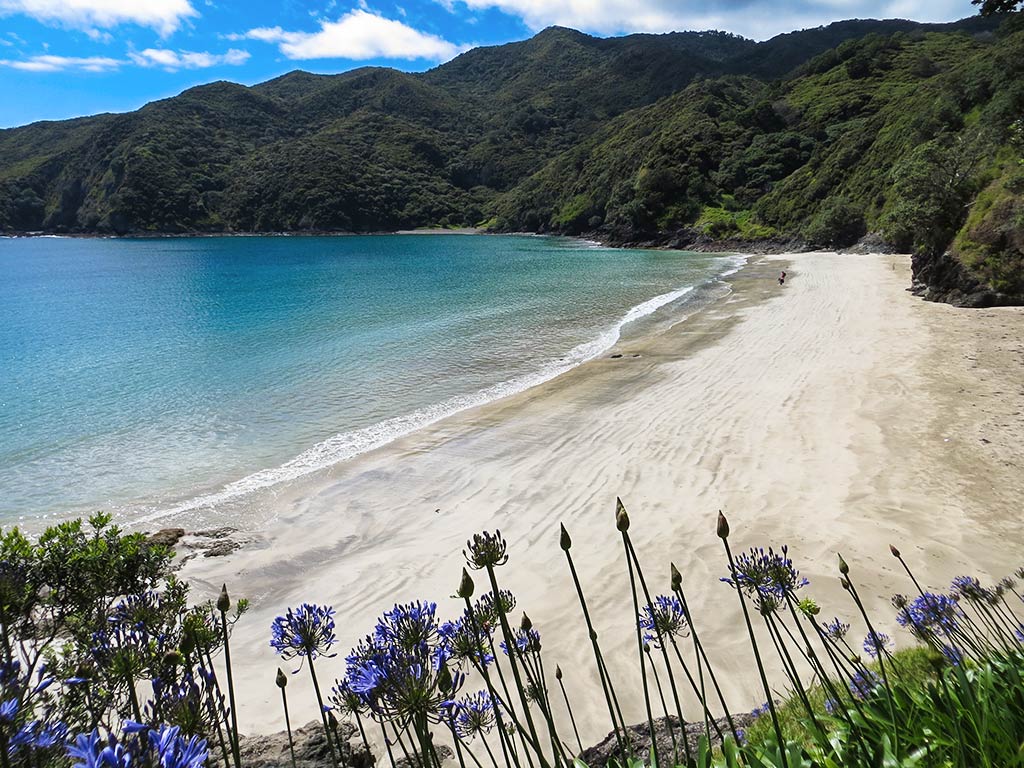
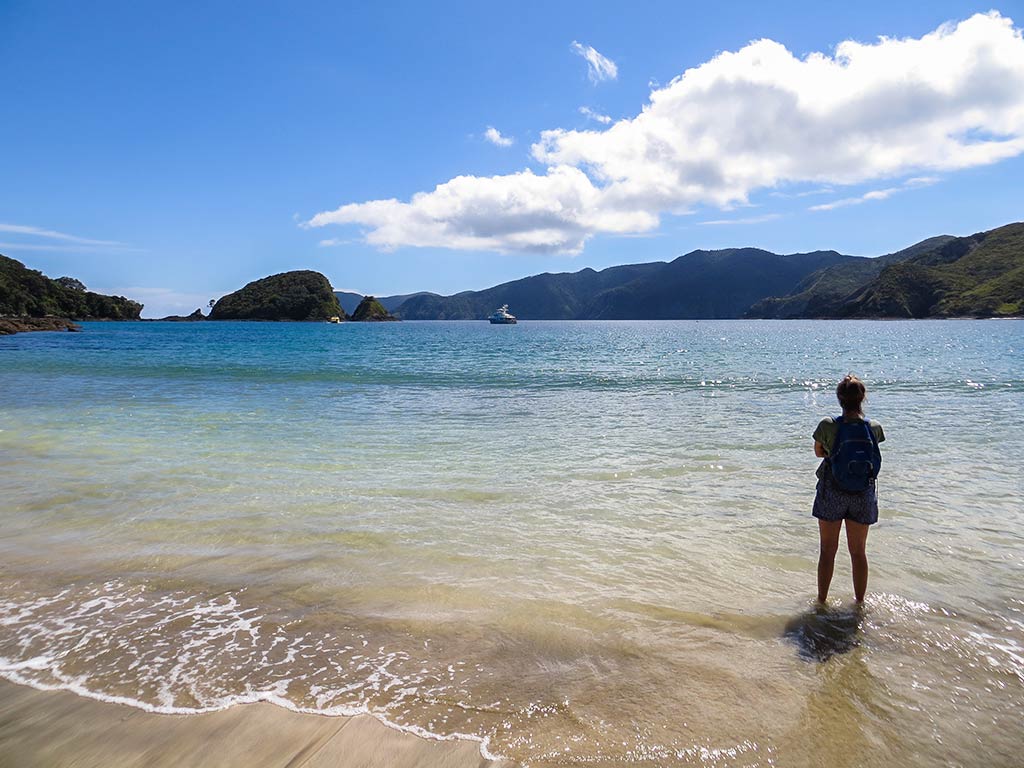
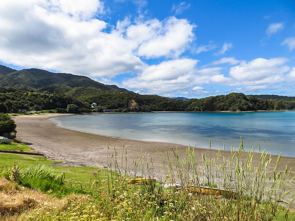
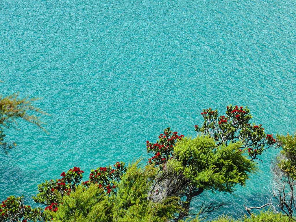
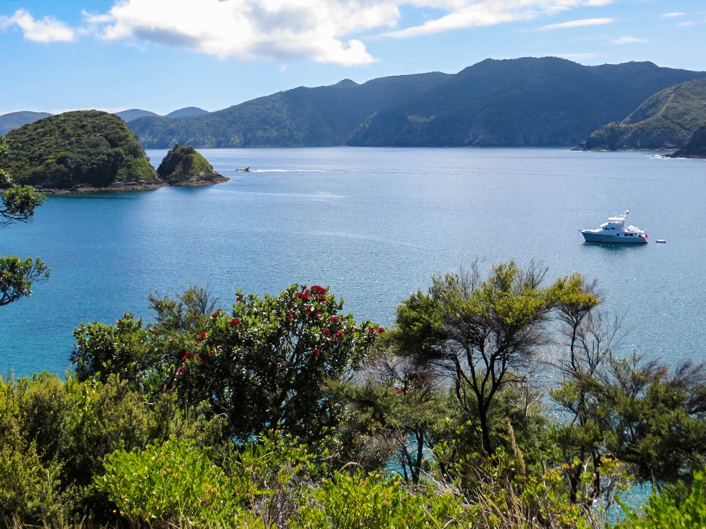
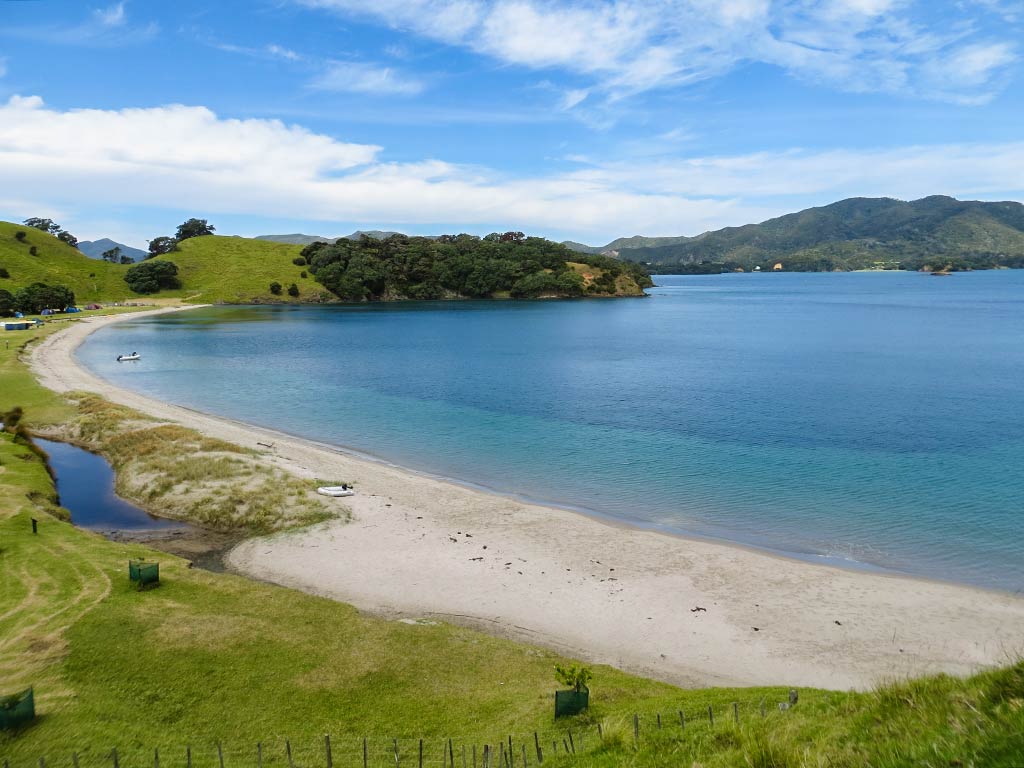
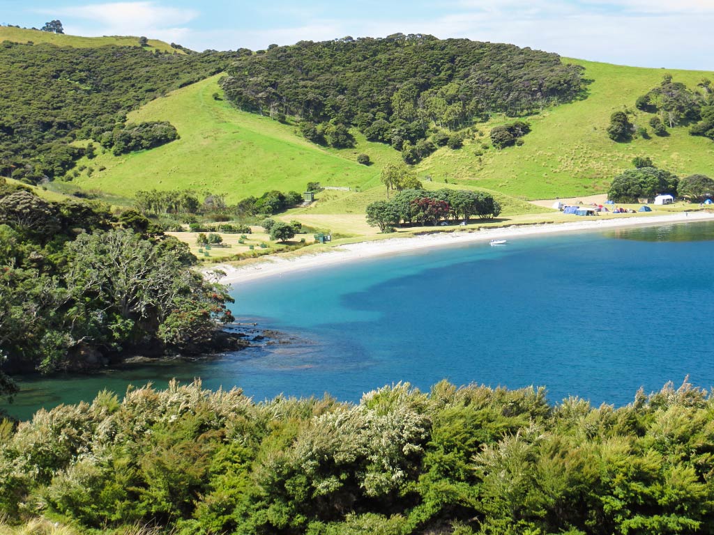
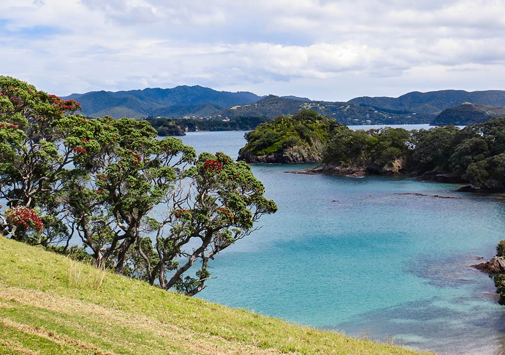
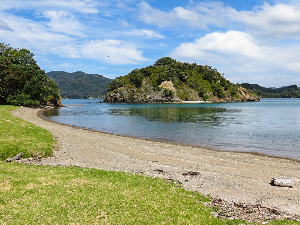
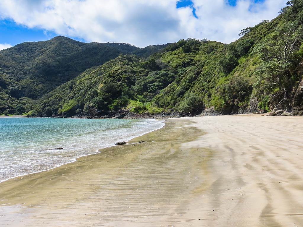
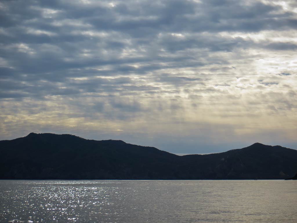
But getting back to December, 2013. Below is a roundup of some extra photos from our cruise through the Bay of Islands this season. (As always, click to enlarge and scroll through the photos.)

Now, it was time to make our way south towards Auckland.–Cyndi

PS: Here’s a link to the 2017 Gateway Guide when they still included the Spot X anchorage guide to Northland.

A Dinghy Ride to Oke Bay (Bay of Islands, New Zealand)

December 12, 2013

One of my goals during this trip through the Bay of Islands was to figure out a good way to visit Oke Bay, one of the mainland anchorages we visited the last time we were here. Because this bay faces northeast and is only a few miles from the entrance to the Bay of Island’s harbor, it’s subject to some effects from the open ocean. As a result, it tends to be bumpy and might even have small waves. These were the conditions we had during our previous visit; so it’s not surprising that we weren’t particularly enthralled with it.

The reason I wanted to go back and walk around onshore was that it’s a David Thatcher favorite. David Thatcher is the author of the New Zealand cruising guides we use and I trust his opinion. Rich has come to refer to him as “Mr Big Shot” as he gets a little tired of hearing, “David Thatcher says…,” and “David Thatcher thinks…” Rich thinks I have a secret crush on David Thatcher. I don’t, but his books had been my source for choosing places to visit, and I’d come to trust his opinion and value his insights. (No, I don’t want to marry him, but I might consider marrying one of his books if I weren’t already married.)

Anchored at the south end of Urupukapuka Island, we realized that two bays on the mainland peninsula opposite Oke Bay could easily be reached by dinghy. These bays faced west, which meant their water should be calm and flat. From there, we could just walk to Oke Bay. Since it was a calm and beautiful day, we decided to give it a go. We dinghied out of Urupukapuka Bay and crossed the channel to Kaimarama Bay, a mile away, and easily landed on its shore.

This jaunt turned out to be well worth doing. The beaches at Kaimarama Bay and Hauai Bay were the gravelly type with brown sand, but still pretty and interesting to see. The walk went along a road, past a few homes behind Hauai Bay, before reaching the path that went up over a grassy hill to the other side of the peninsula.

Voila, Oke Bay, with no rolly anchorage or wavy dinghy landings to contend with! I was surprised to see how beautiful this place was now that we were looking at it from the shore. It had a long stretch of white sand beach, colorful blue-green water, and was surrounded by lush green hills. This was definitely one of those places that looked more beautiful up close (it didn’t look nearly this pretty from our boat last time we visited).

We had an enjoyable walk down the beach, then hiked up a hill to seek out views overlooking the bay. This turned out to be a wonderful excursion! And it was so nice afterward to return to our peaceful anchorage at Urupukapuka Bay for the night.

Above is a gallery of photos from the area in no particular order. Kaimarama Bay is the one with our dinghy in the picture, and Hauai Bay is the bay with the brown sand beach. Oke Bay (featured at the top of the gallery) has the beautiful white sand. (As always, you can click to enlarge and scroll through the photo gallery).–Cyndi

Urupukapuka Island: Urupukapuka Bay (Bay of Islands, New Zealand)

December 11, 2013

In keeping with the theme of doing things we missed last season, I had chosen a new bay on an island we’d visited before: Urupukapuka Island. Last time here we’d visited Paradise Bay, and since it lived up to its name, it was hard to imagine we’d like this bay as much. But as it turned out, we did.

Urupukapuka Bay has lots of room, but much of the bay is shallow; so we had to take care to anchor in an area for deeper-draft boats. As we motored towards the area, a boat was in our chosen spot, but it soon pulled anchor and was heading off as we approached. We ended up nabbing the spot.

This happens so often in New Zealand that when we see someone in a spot we’re hoping for, we head for it anyway. As often as not, even more often than not, the boat picks up and leaves by the time we get there. Is it that Legacy is a particularly frightening-looking apparition headed their way? After all, we fly an American flag which is pretty scary these days. But nope, it’s actually that many New Zealanders make multiple stops over the course of a day. This is something very unique to Kiwis in that most boaters we know, once they’ve gone to the trouble of finding a spot and anchoring there, like stay put.

Urupukapuka Bay has lots of pohutukawa trees, and we were hoping to catch them in full bloom. As it happened they were only just starting to bloom, but we were still glad we came. There was a camping area on shore, but it didn’t interfere with the natural beauty of this bay or its beach.

One of the main attractions of this bay was its access to the island’s incredible hiking trail. Having rested for two days, we were ready to get walking again. Today we planned to get to a part of the trail we’d missed on our previous visit: the hike out on the southernmost peninsula and its bays, including Cable Bay.

This turned out to be an incredibly beautiful hike. The sheep roamed freely here, and it was fun to walk among them and try to come up with noises that would get their attention (as you can see from some of our pictures, we succeeded). The scenery was gorgeous: grassy hills and pohutukawa trees overlooked serene blue-green bays and coves.

The gallery at the top of this post shows Urupukapuka Bay, Cable Bay, and a bay in between them. There’s also a shot of Otehei Bay with its pier. (As always, you can click to enlarge and scroll through photo galleries.)

Another neat thing about Urupukapuka Bay was a dinghy ride we took towards Otehei Bay. There were coves and beaches around every corner, and a small island (Round Island) that looked great for snorkeling. This area would also be a kayaker’s dream, and we did see a few of them here.

Above is a gallery with photos of the area between Urupukapuka and Otehei bays taken during our dinghy ride. -Cyndi

Motorua Island: Awaawaroa and Hahangarua Bays (Bay of Islands, New Zealand)

December 10, 2013

Our next stop was at Motorua Island, which we’d very much enjoyed during our previous season in the Bay of Islands. This time we were checking out a friend’s recommendation: Awaawaroa Bay. It’s on the south end of the island but has no access to the trail and only a tiny beach, making it what I call a “guiltless bay.” This meant we didn’t have to feel any guilt about not going ashore or accomplishing anything.

There was one worry: we’d been warned this was a small but popular bay, and there was a good chance we’d find it full and have to go elsewhere. Naturally we were relieved to arrive and find only two boats there. We motored in past a Canadian cruiser, who called out hello as we motored past, adding that we’d found a nice spot! And it was a very pretty place, but I think some of its allure came from being, like a popular club, difficult to get into.

Rich found a shallow spot for us, about 14 feet deep with a six foot tide. We’d both gotten braver about shallow water as we’d gained more cruising experience, which was helpful in little places such as this. During the afternoon some other boats came in, but no one anchored too close, a refreshing change.

Awaawaroa turned out to be a pretty and peaceful bay, but my favorite thing about it was the greens. It had thick foilage, some of the trees draped with moss. The water turned every shade of green as the day went on, from celadon to jade to emerald to a deep forest green. If Awaawaroa isn’t the Maori word for green, it should be.

Below is a gallery of shades of green in Awaawaroa Bay, plus a few pictures of a lovely still morning in the bay. (Click any photo to enlarge and scroll.)

The next day we headed out and checked out Hahangarua Bay just around the corner. There were vacation homes here and the land was private property, but you could still walk on either of its two beaches. It looked nice, and if we ever got back this way we figured we’d stop and check it out. –Cyndi

The two beaches of Hahangarua Bay (Bay of Islands, New Zealand)
A closer view of a Hahangarua Bay (Bay of Islands, New Zealand)

Lovely Opunga Cove (Bay of Islands, New Zealand)

December 9, 2013

We motored in the still green water of this quiet bay, admiring the stretch of beach and historic-looking homes. While it wasn’t quite as impressive as some of the island anchorages, it was really lovely, and we enjoyed the birdsong and chortling from the local tuis.

Peaceful Opunga Cove. (Bay of Islands, New Zealand)
The green water of Opunga Cove. (Bay of Islands, New Zealand)

Aside from being pretty, this bay had good holding, was well-protected, and very comfortable. One side benefit was that we felt no need to go ashore; so it was restful, too. This was the type of place that gave us that vacation-y feeling where we could put down the anchor and have the rest of the day to relax. Rich had something to do on the computer and asked what I was going to do. I told him I am going to sit here and be happy! And that’s what I did. Below, a small gallery of photos from the afternoon (click to enlarge and scroll).

That afternoon we had ducks and fish come over to visit and enjoy some breakfast crackers.

Feeding the fish in the clear water of Opunga Cove. (Bay of Islands, New Zealand)

The bay was reputed to have drunken tui birds in the spring. We didn’t see any here but spotted one later at Urupukapuka Island that looked pretty wasted.

That evening was warm enough to sleep with our companionway hatches open; so when we woke up the next morning it was chilly in that wonderful way that feels great if you’re snuggled under the covers but a little cold if you get up. I lingered and dozed while Rich got up and made coffee for us. What a great morning!

Rich soon asked me what the agenda was for today, and I told him: rest and relax, more rest and relaxation, nap, a massage for the coffee maker (Rich), more rest and relaxtion, then move to the next bay where we didn’t need to go ashore; so rest and relaxation for the rest of the day.

So often when we travel I have activities planned like hikes, sightseeing, and various modes of exploring; so Rich was very thrilled with this day’s plan! All we needed to do today was motor to the next bay, and it was shaping up to be a beautiful day to head out to an island. –Cyndi

A still morning at Opunga Cove with ducks coming to visit. (Bay of Islands, New Zealand)