Bay of Plenty Excursion #1: Ohope Beach (New Zealand)

April 19, 2013

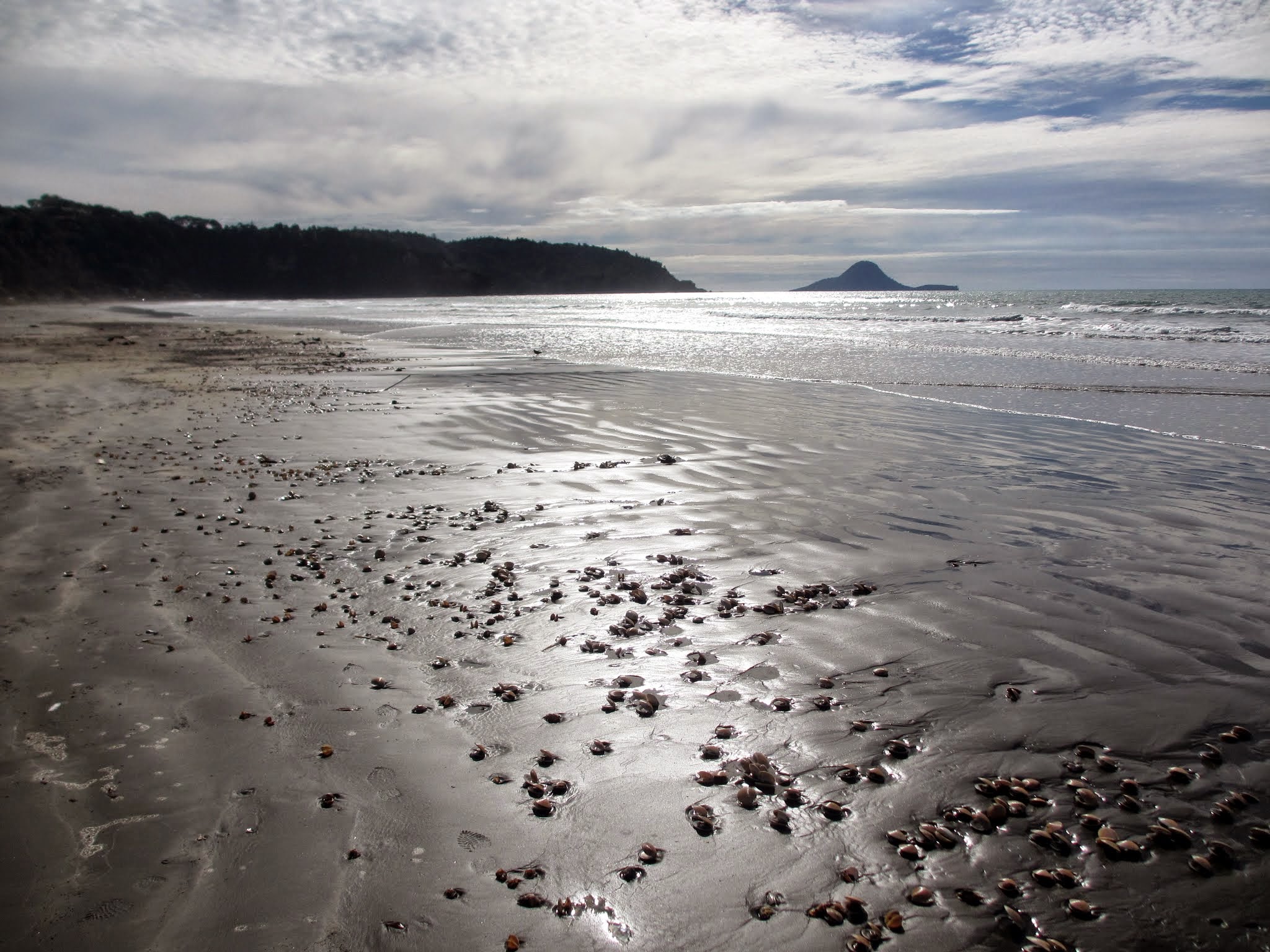
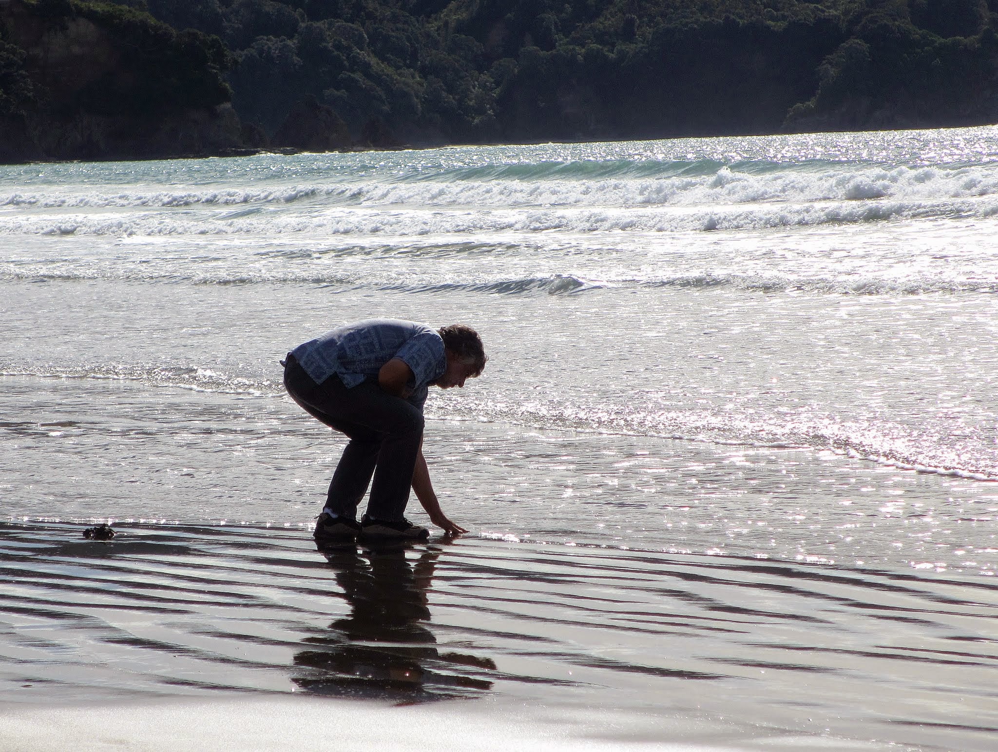
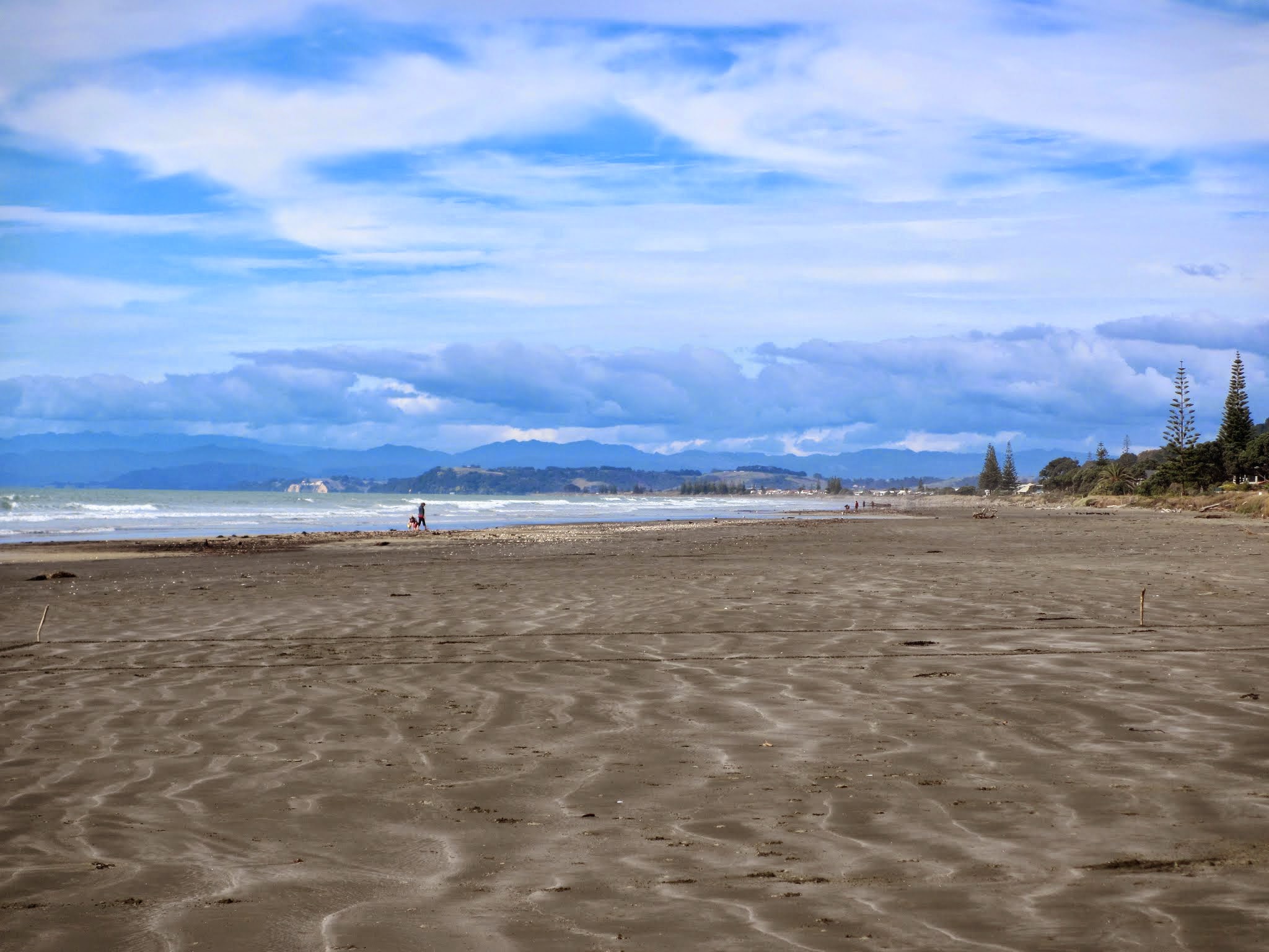
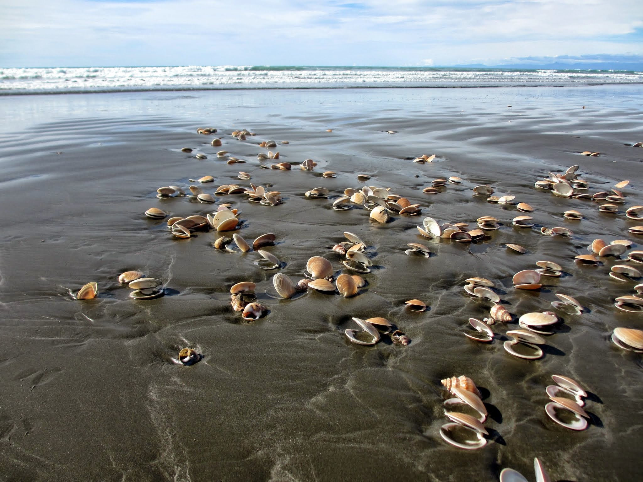
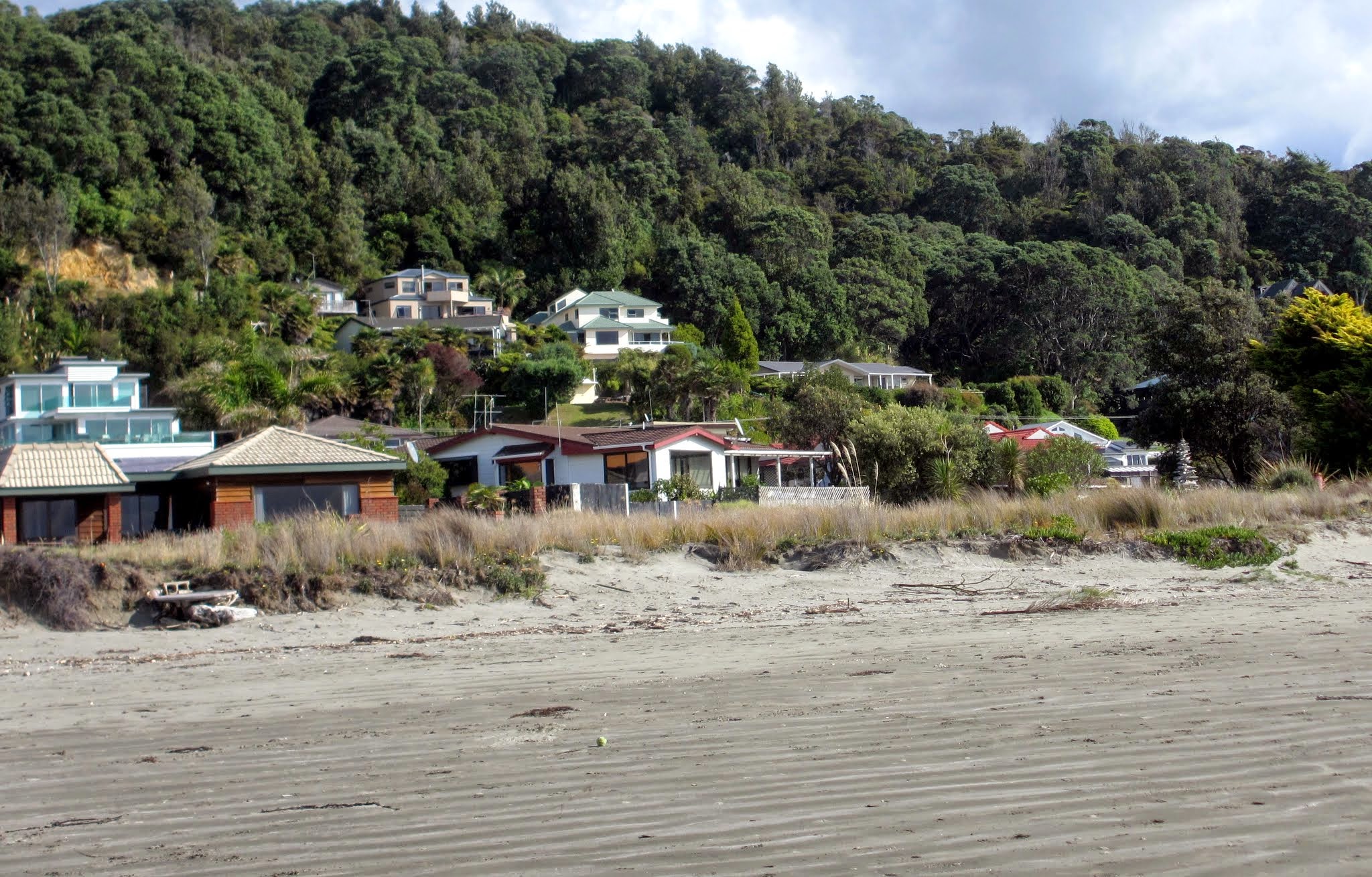
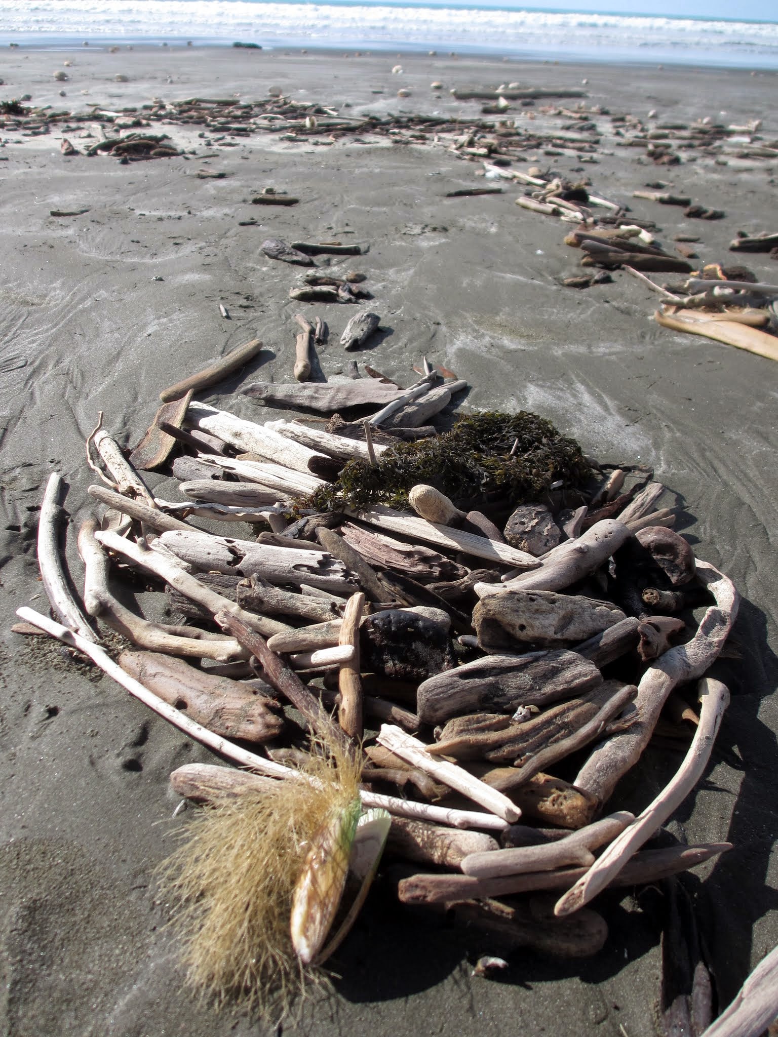
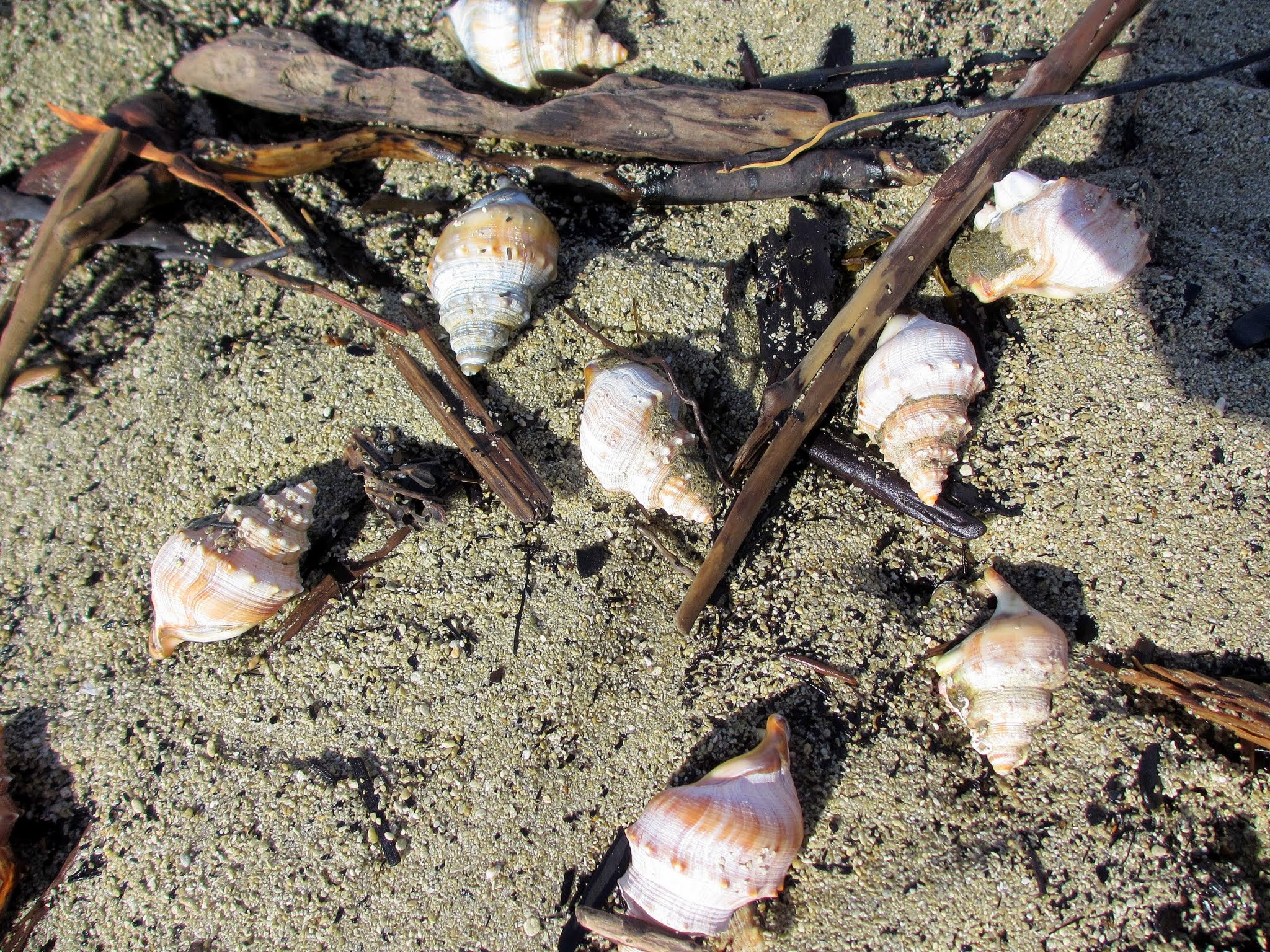
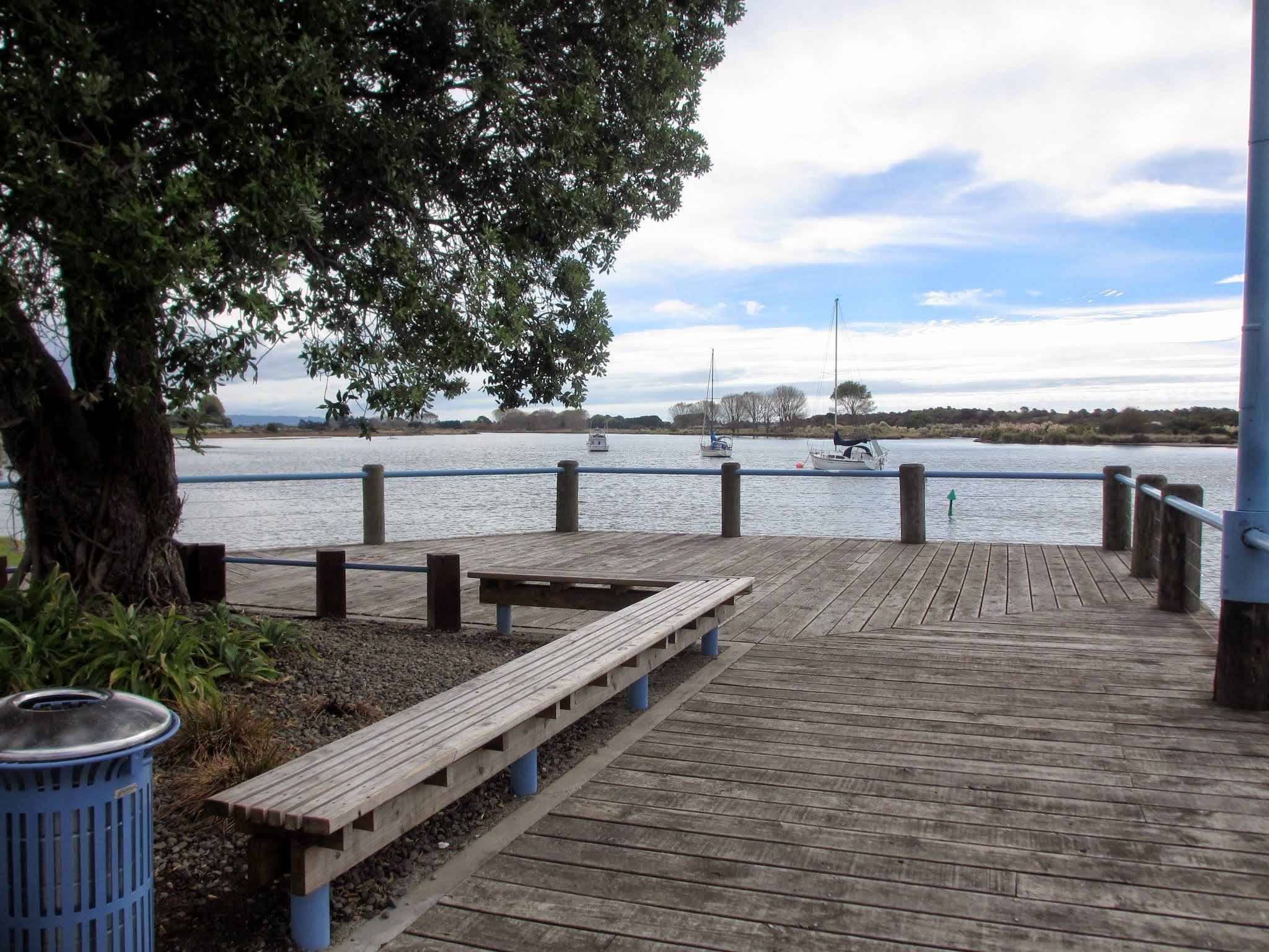
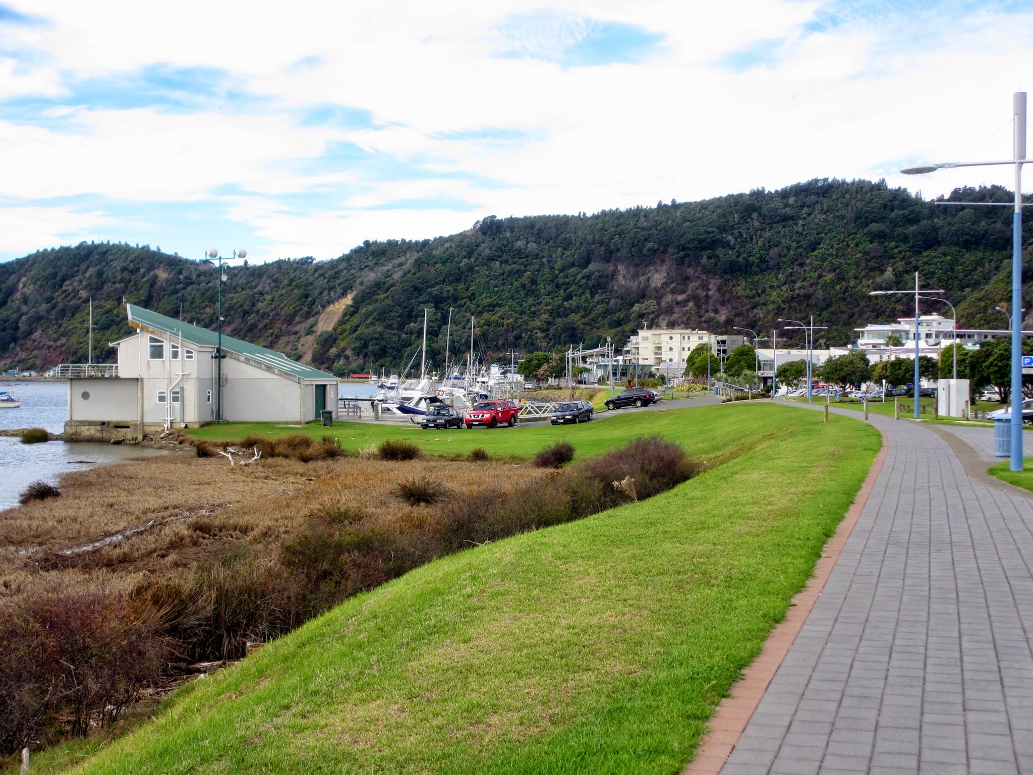
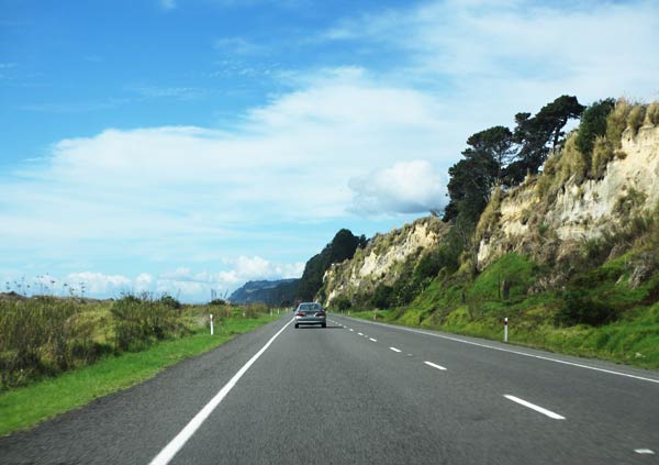
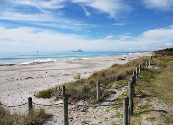
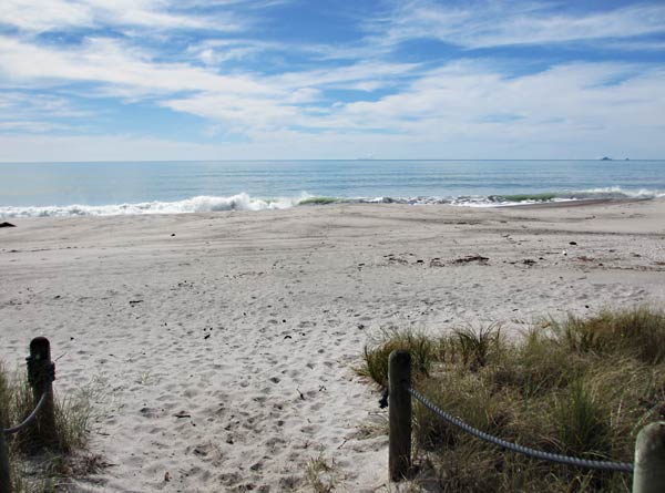
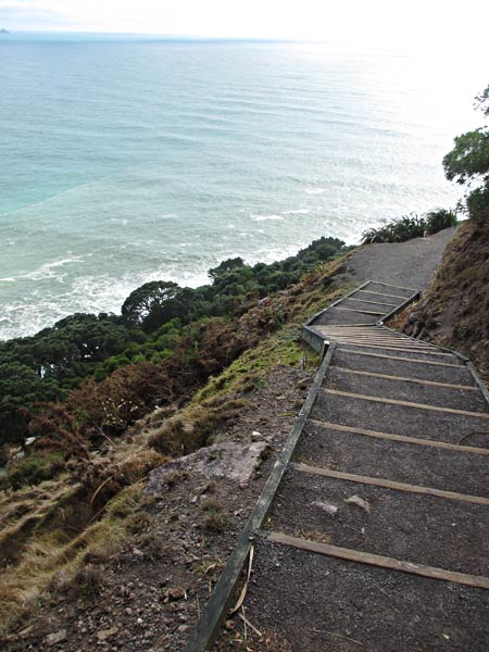
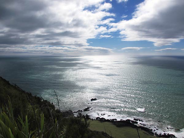
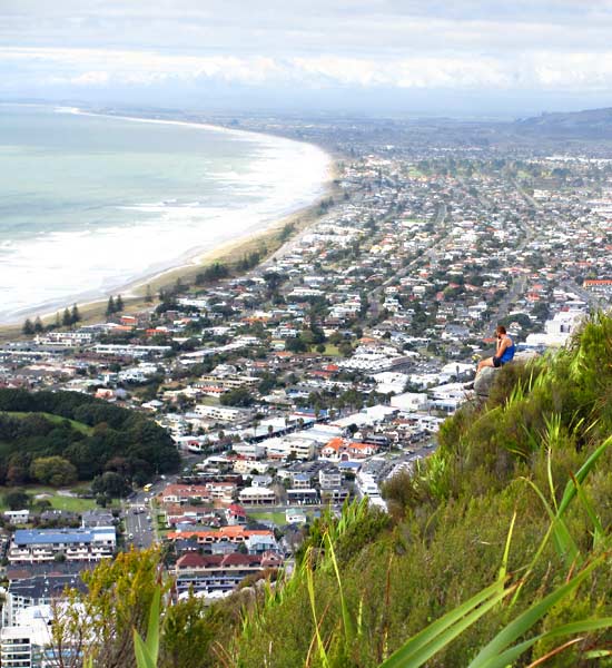
Just beyond Whakatane is Ohope Beach, a popular destination for seaside holidays. We found Ohope to be different from the golden sand beaches of Mount Maunganui. The sand here was dark and hard packed enough to drive on (although no one does). And it’s covered with driftwood and shells, many of them clam shells (which would turn out to be a bad thing later). It’s the kind of beach where the waves make a low constant rumble, that noise you hear when you put a shell to your ear. This is less a beach for sunning and swimming and more a beach for walking, beach combing and collecting shells.

So, that’s what we did, walking way up the beach and finding all sorts of wonderful things, enjoying the sounds of surf and sea and the warmth of the afternoon sun. We took our treasures back to the car and were about to leave when Rich realized his phone was gone. It had been in his shirt pocket and had fallen out as he bent to pick up shells.

We headed back the beach and the dismaying sight of about a million clamshells that looked a lot like his small white cell phone. It would be like finding a needle in a haystack, but we had to try. We split up and went hunting for the phone. About 15 minutes later, I saw Rich raise his arm, phone in hand. It was a miracle he found it as it was half buried among clamshells. The second miracle was that in spite of it being wet and sandy, he managed to revive it. (And it still works to this day a year and half later as I write this post). –Cyndi

Bay of Plenty Excursion #1: Charming Whakatane (New Zealand)

April 19, 2013

While it’s by the ocean, Whakatane is laid out along a river and feels like a river town. What’s most distinct about it, though, are the cliffs that run right alongside the main street. These rocky hillsides give the town its very unique and beautiful look.

Our first stop in Whakatane was the Coffee Roastery Cafe, where we had some of the best coffee we’ve had in New Zealand. After that we walked up the Strand, the town’s charming main street, before heading over to the river to stroll back along the river walk.

Looking at the boats in the estuary, we wondered if was deep enough to come here on Legacy. We decided it wouldn’t be practical as Whakatane’s so far away from everything, but it’s also so pretty we couldn’t help but consider the possibility.

After our river walk, we went to find the town’s waterfall. As waterfalls go it won’t win any awards–I think the long, dry summer has left it a little feeble, but it’s still very pretty.–Cyndi

Bay of Plenty Excursion #1: Driving South to Whakatane and Ohope Beach (New Zealand)

April 19, 2013

We took a day off from boat chores to make the 55-mile drive south to the town of Whakatane and Ohope Beach just beyond it. These places are definitely off the beaten path, remote and out of the way, but after hearing them described by someone who grew up there, I decided they were worth making the trip. (And Rich kindly goes along with these decisions as I’m the official Legacy tour director.)

Our drive south took us through Te Puke, the “kiwifruit capital of the world” and home of the world’s largest kiwifruit statue. It’s actually a slice of kiwi, but I can’t argue its being very big. I think their record is safe: I can’t imagine anyone would feel compelled to make an even bigger kiwi replication. We were very amused by a series of billboards in Te Puke showing cartoon kiwifruit practicing various traffic safety tips. (Sadly I missed the shot of the one where the kiwifruit gets spattered.)

I hope that kiwi isn't taking his power nap while he's driving. (Te Puke, New Zealand)
I hope that kiwi isn’t taking his power nap while he’s driving. (Te Puke, New Zealand)

After driving through farm country, the highway went back along the shore. There are miles and miles of lovely beach here.

The road heading south. (Bay of Plenty, New Zealand)
Grassy dunes line the beach area. (Bay of Plenty, New Zealand)
Miles and miles of empty beach en route to Whakatane. (Bay of Plenty, New Zealand)

In a lot of ways this was much like a drive to Santa Barbara from Los Angeles, but there was one big difference: the volcanoes. The first volcano we spotted was Mount Tarawera. It’s a startling sight to look out past the cows and pastures to see a big volcano looming in the distance.

Mount Tarawera in the distance, still classified as active. (Bay of Plenty, New Zealand)

The second volcano we spotted was White Island, just off the coast and a popular tourist destination. We knew this volcano was active, but it was still surprising to see the huge plume of smoke billowing out the top. We actually considered going on one of the tour boats that visit the island. You’re supplied with a hard hat and gas mask and it sounds pretty cool, but one guidebook remarked that if you die doing this, at least you’ll die doing something you love. I’m not sure I’d love it that much that I’d feel OK about losing my life in a fiery molten lava blast. I think I’d rather die eating too much pizza. –Cyndi

Smoke billowing out of the top of White Island. (Bay of Plenty, New Zealand)

Legacy Boot Camp Continues (Mount Maunganui, New Zealand)

April 17, 2013 – Mt. Maunganui, New Zealand

Yesterday we set out for a cup of coffee and maybe a little walk around Mt. Maunganui.  We got the coffee and more of a walk than we’d planned.

This is Mt. Maunganui – all 4320 feet 10 25/64 inches of it (exact according to the NZ Geodetic Survey).

A picture of someone else's wonderful ariel photo.
A picture of someone else’s wonderful aerial photo.

And we ended up climbing to the top – steep trails and 1,234,232 steps (exact, according to how I felt afterwards).

One set of many.
One set of many.

But with the condition we’re in, it was nothing, really…

Tired, me?  No way.  Gasp, wheeze, gasp.
Tired, me? No way. Gasp, wheeze, gasp.

But the views made it worth the effort…

Looking towards the channel we came through a few days ago.
The town of Mt. Maunganui.
The town of Mt. Maunganui. (Click picture for larger version.)

If only there were a good place to sit and take it all in…

I didn't have the guts to sit here.  And I told Cyndi I wouldn't talk to her again if she tried.
I didn’t have the guts to sit here like this guy (did you spot him?).  And I told Cyndi I wouldn’t talk to her again if she tried.

We even got this nice view of our marina – behind the ship and cranes…

We played the old "can you spot your house from here" game - the boat version.
We played the old “can you spot your house from here” game – the boat version.

As part of the ongoing Legacy Boot Camp, we’re going to try to make this walk every other day or so…  What doesn’t kill us, makes us want to die.  Isn’t that how the saying goes? -Rich

The Towns of Tauranga and Mount Maunganui (Bay of Plenty, New Zealand)

April and May, 2013

I wrote a few blogs about this area after we visited by car, but here’s a quick recap along with some links to those posts.

tauranga-map

This area is basically divided into two towns: the beachy surf and resort town of Mount Maunganui and the slightly more subdued lakeside-like town of Tauranga.

Both towns have their charming village areas full of shops, bars, and restaurants. And both towns spread out into areas that are more about the business of everyday living with things like grocery stores, home goods stores, schools, office buildings and suburbs. This area also houses New Zealand’s largest port, two good-size marinas, and a lot of boat-related businesses.

Mount Maunganui post
Tauranga Post

Beyond both of these towns is a whole lot of countryside. The beach stretches from the Coromandel Peninsula, 30 miles to the north, down to Whakatane, 45 miles to the south. Just inland are mountain ranges that separate the coastal area from a huge agricultural area on the other side. Auckland is about a 2-hour drive to the northwest, much of it through farmland. This all lies within an area called The Bay of Plenty.

Aside from an endless stretch of beach, the standout feature of this area is the Mount, an extinct volcano that is a fabulous place to hike, walk or jog. There’s also Moturiki Island, connected to the coast by a land bridge, that’s also a great place for a hike. It helps that this area happens to have one of the warmest, sunniest and mildest climates in New Zealand. –Cyndi

The Mount Post
Moturiki Island Post